Fish and Owl Canyons Backpacking Trip, Bears Ears National Monument, Cedar Mesa, Utah
Day 1
After having such a great trip backpacking the Beehive Traverse in Capitol Reef National Park earlier in the spring, I was excited to get out for another desert trip. This trip would have a bit of a different feel as it would be all on-trail, and I’d be doing it with a friend named Lauren, who had never gone backpacking before.
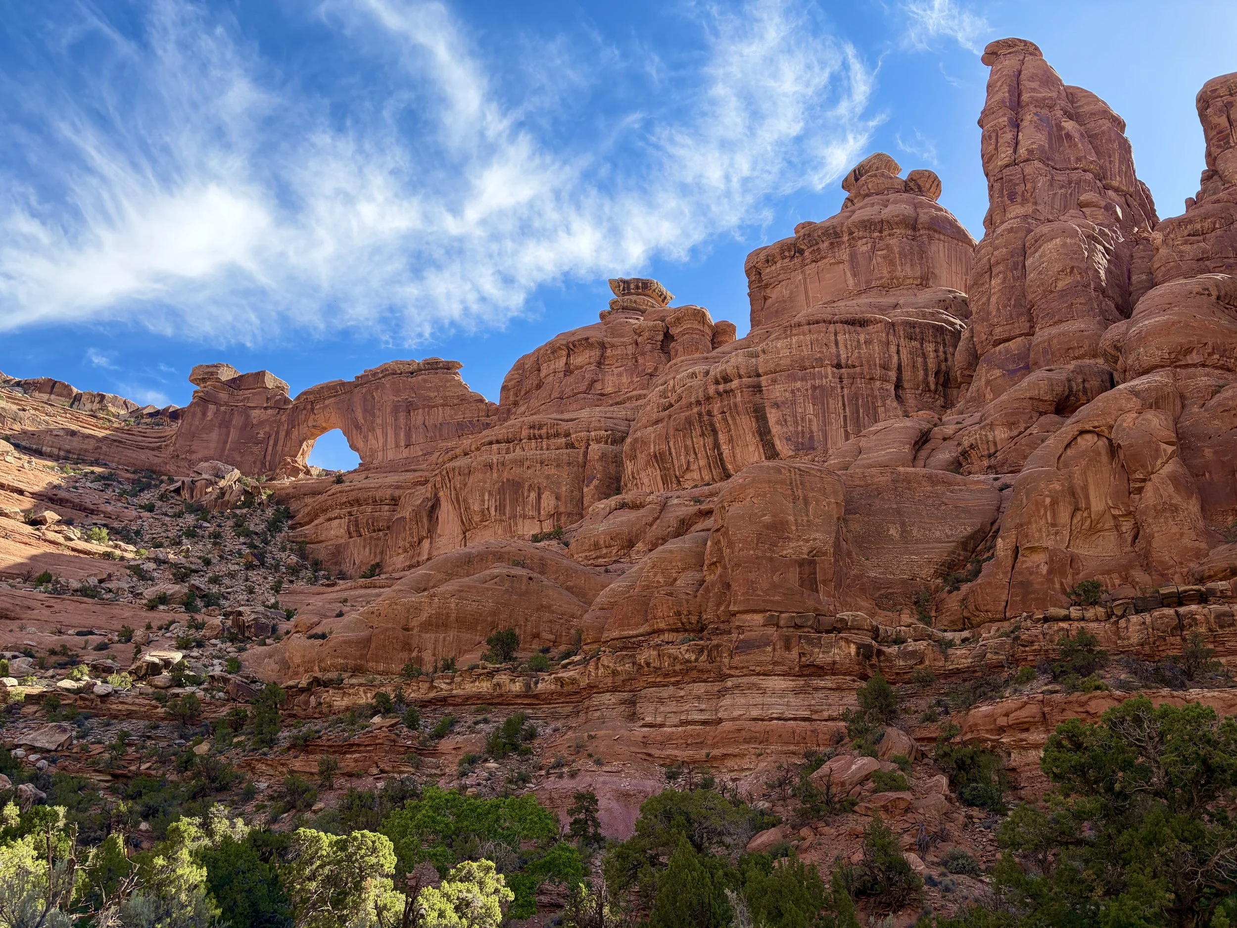
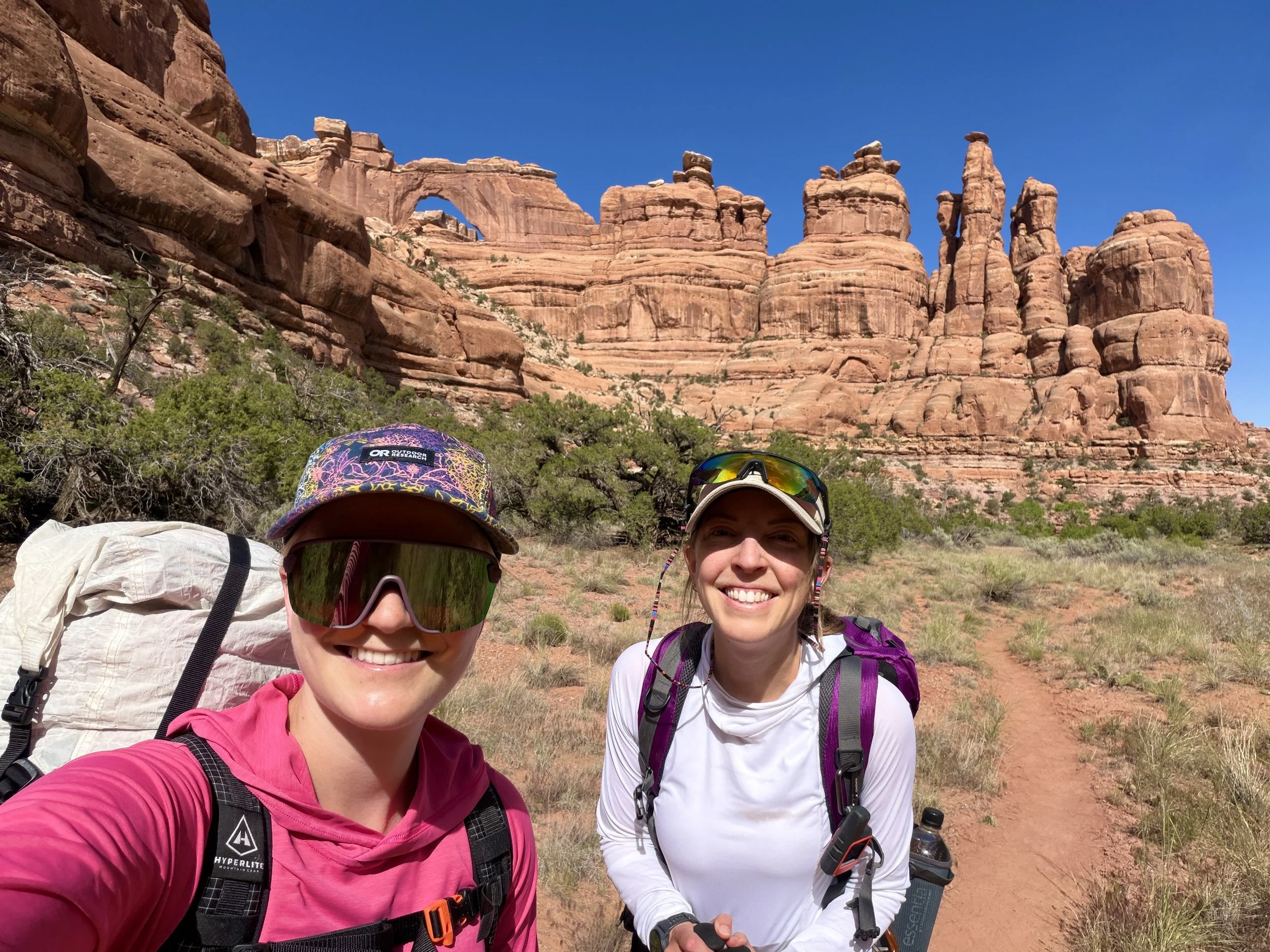
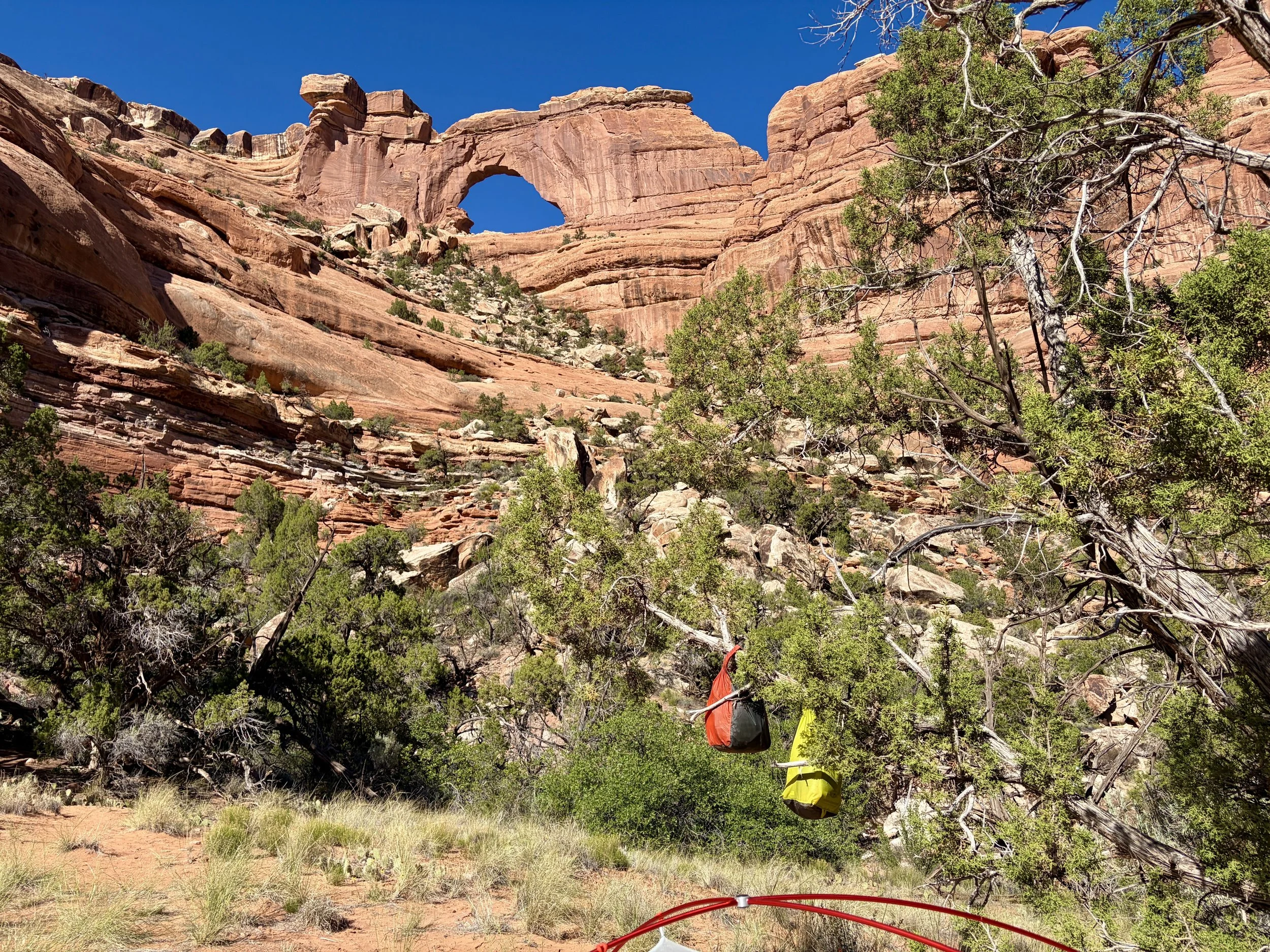
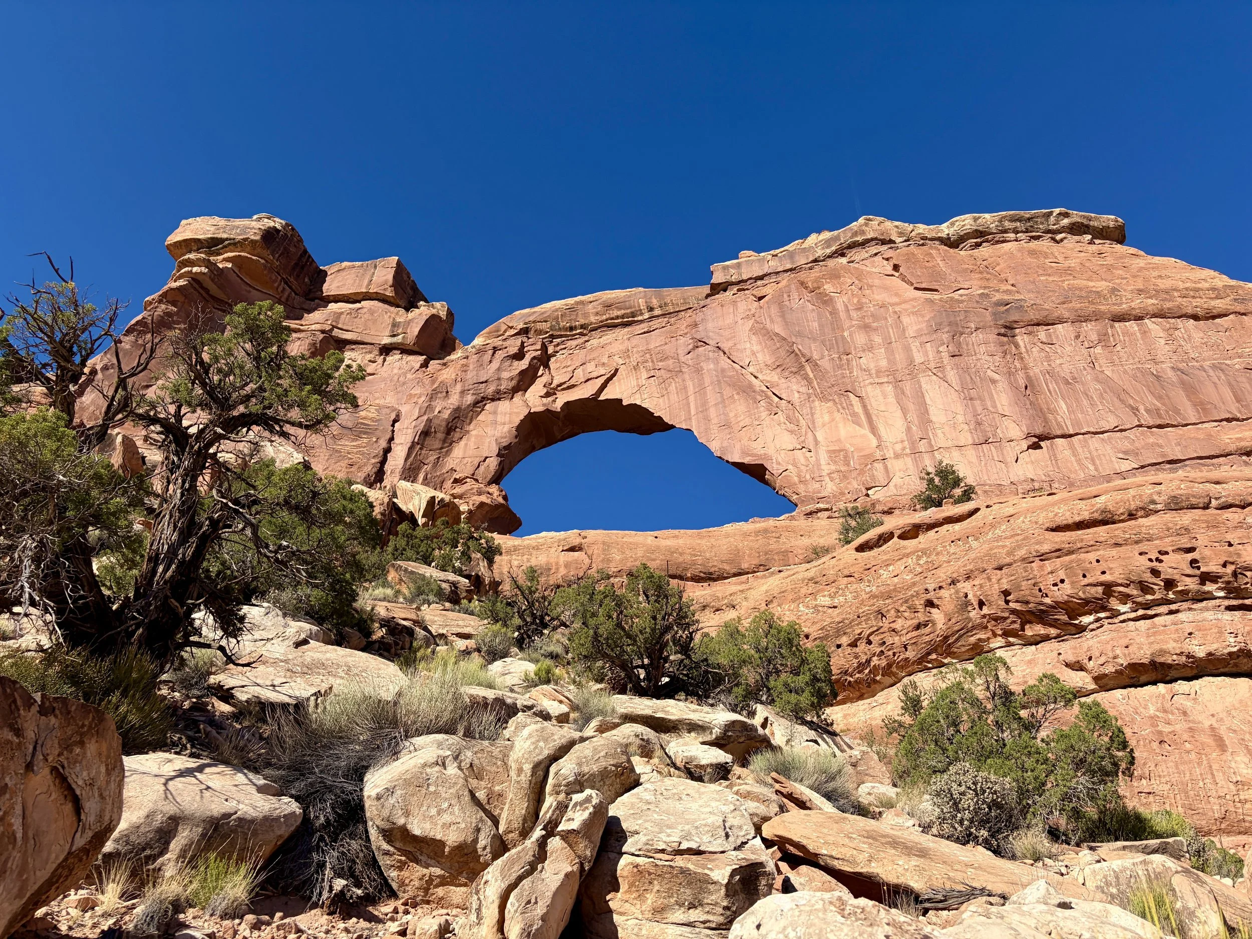
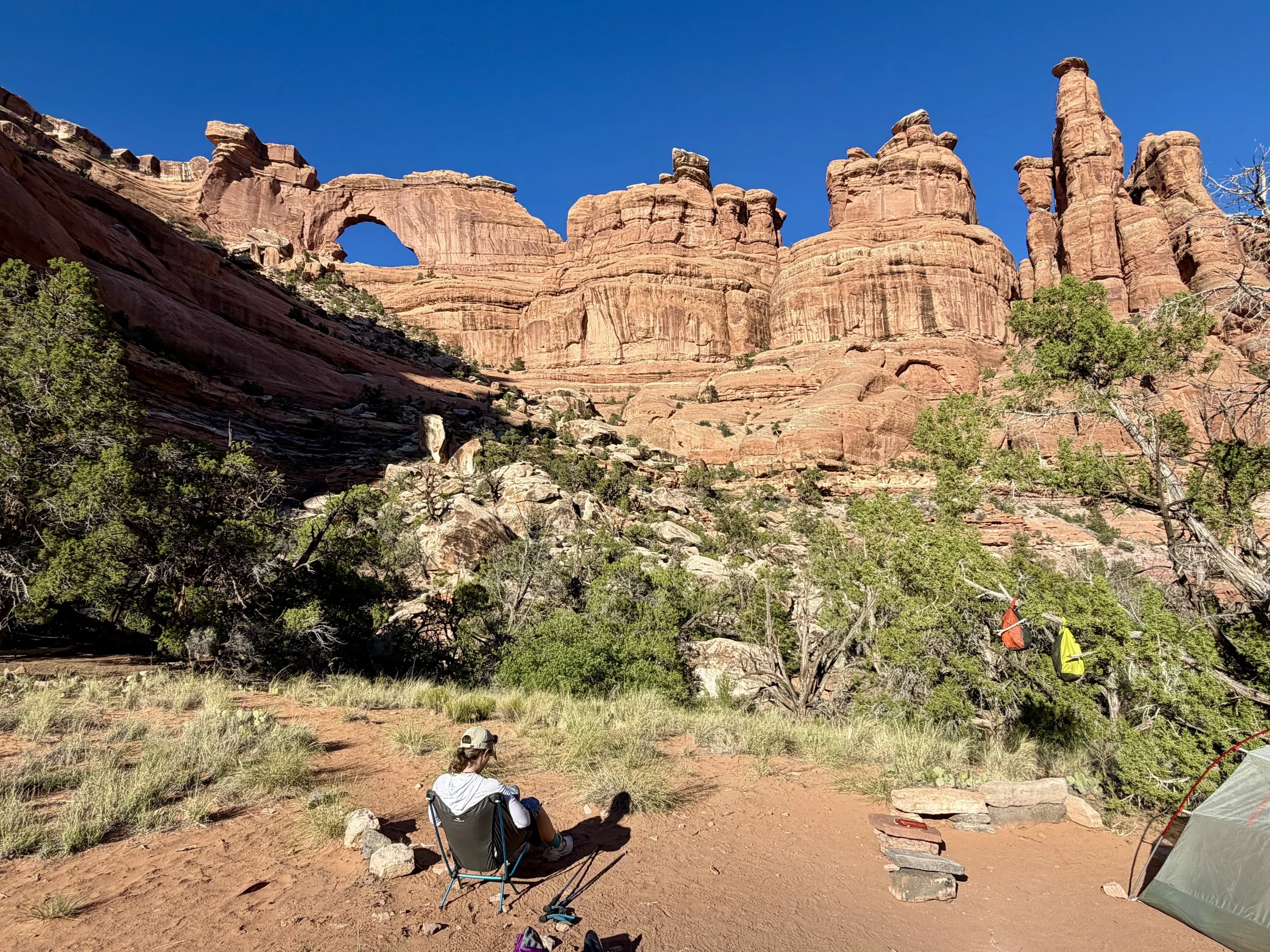
Fish and Owl Canyons in Bears Ears National Monument on Cedar Mesa in Utah has been on my to do list for a while. It’s one of the few on-trail loop hikes you can do in the area, it looks beautiful, and it would even allow us to camp with beautiful views of an arch. Arch views from camp would get anyone hooked on backpacking, right?
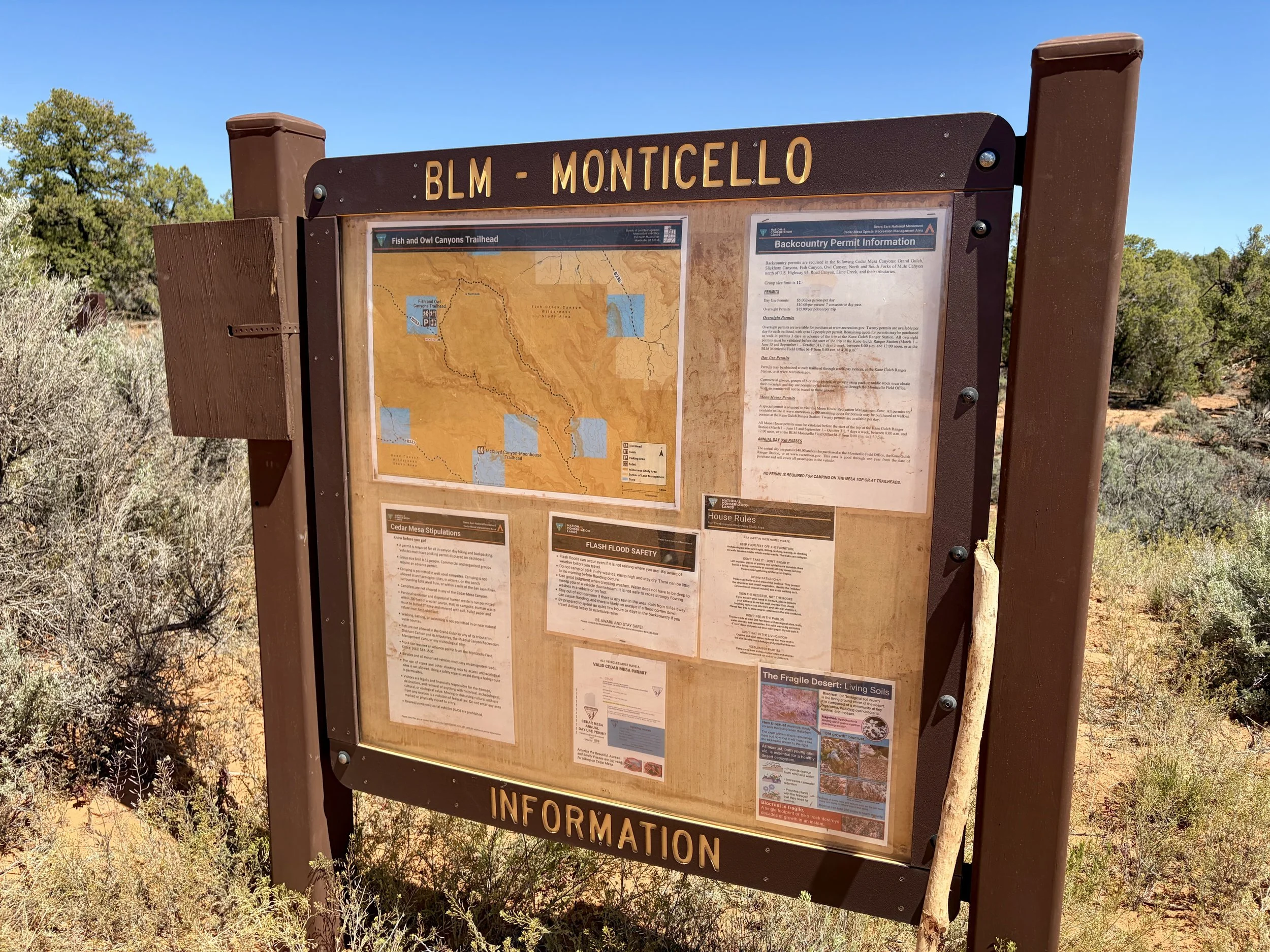
The night before we started the hike, we drove to Moab and stayed the night there. The next morning, we drove to Kane Gulch Ranger Station to check in with the ranger and get some more information on water availability, if possible. With all of the staffing cuts from the current administration, there was only one ranger that was in charge of patrolling about one million acres of public land in that area. To say they were grossly understaffed is an understatement (if this bothers you, please write to your representatives asking for more staffing in Cedar Mesa and the Bears Ears National Monument!). The ranger station was staffed for 4 hours/day for four days of the week when we went there. Thankfully, the ranger was able to provide some very helpful information about current water availability, and we felt confident in the water plan we had for our trip.
We then drove over to the trailhead for Fish and Owl Canyons. Our plan was to hike the loop in a counterclockwise direction as that is what the ranger station suggests so that most groups are walking in the same direction, and therefore it will feel less busy.
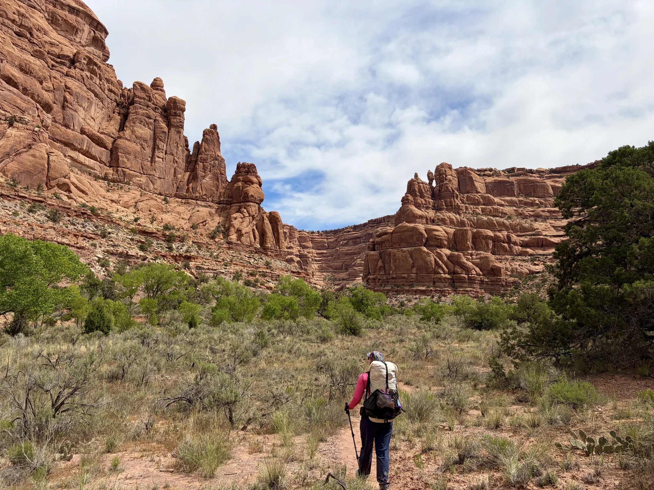
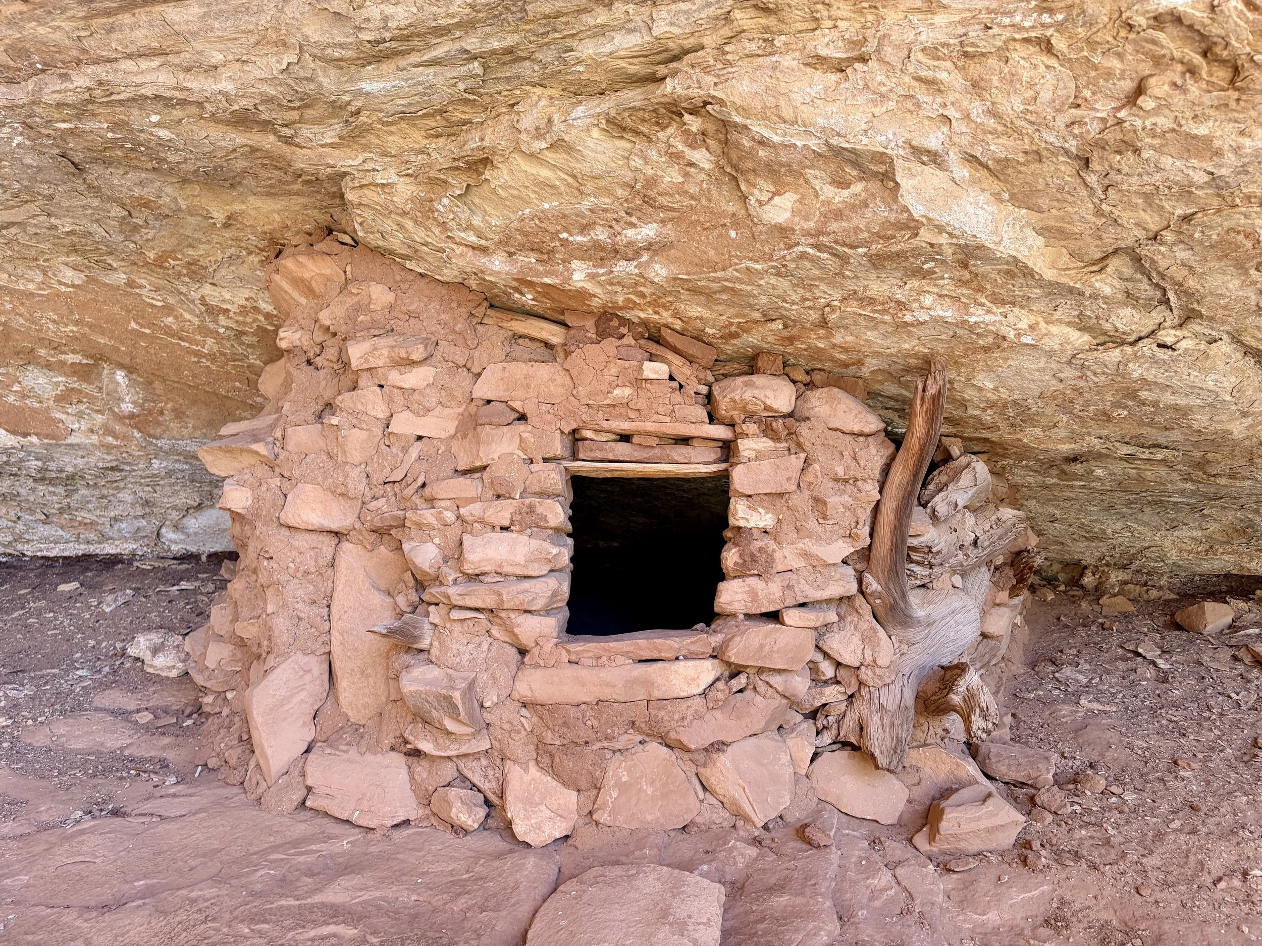
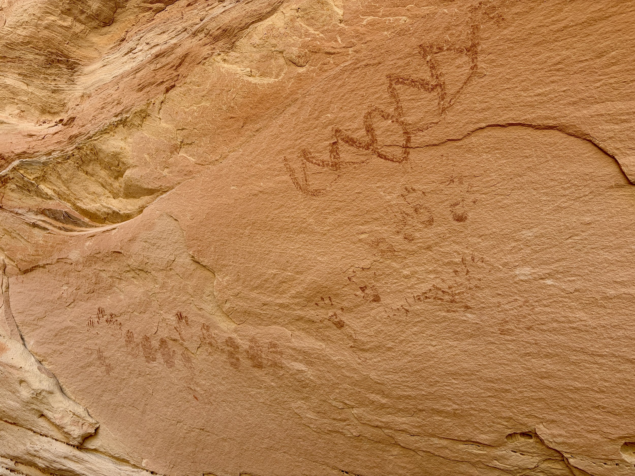
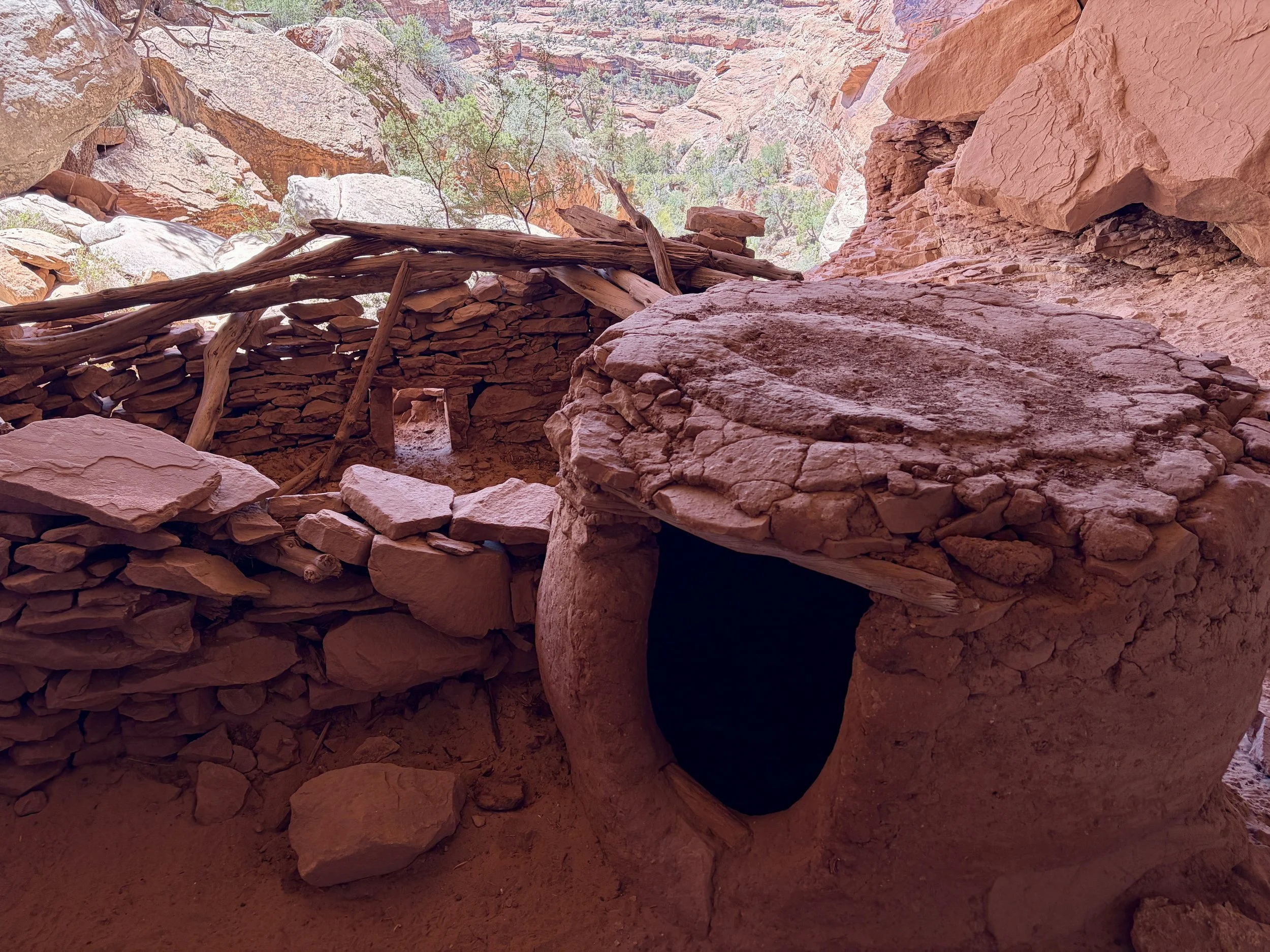
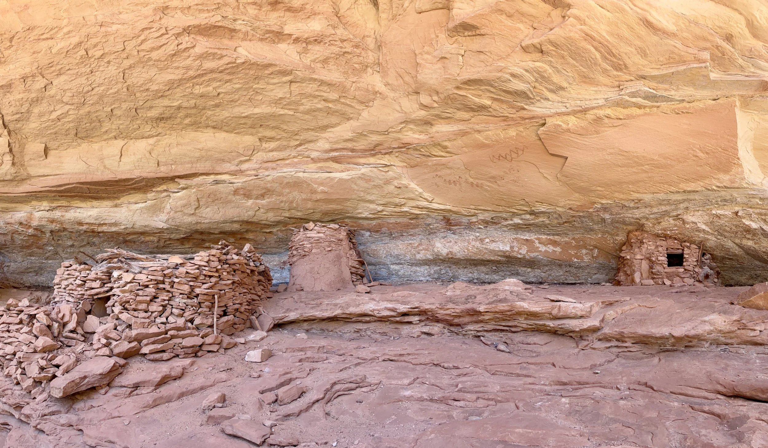
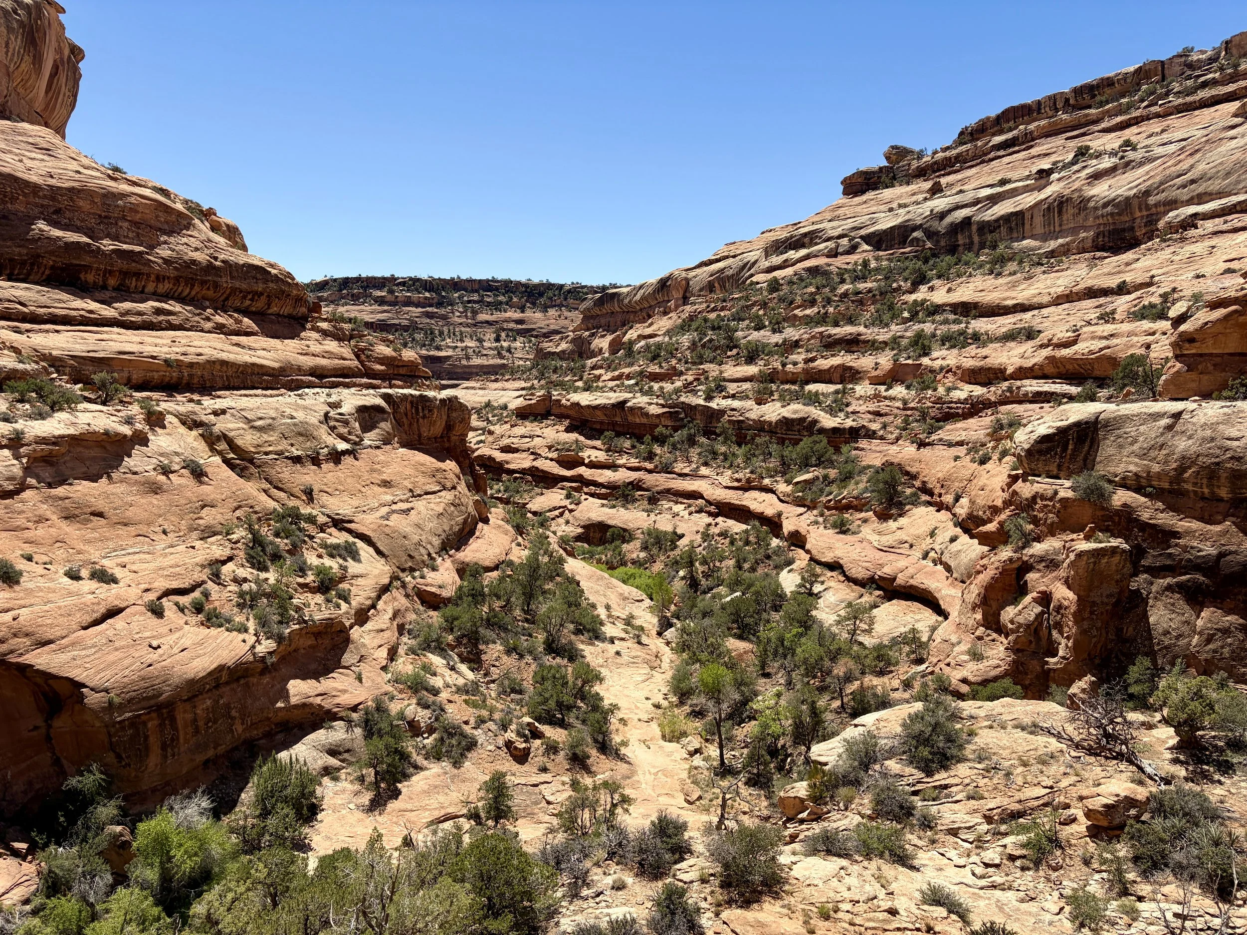
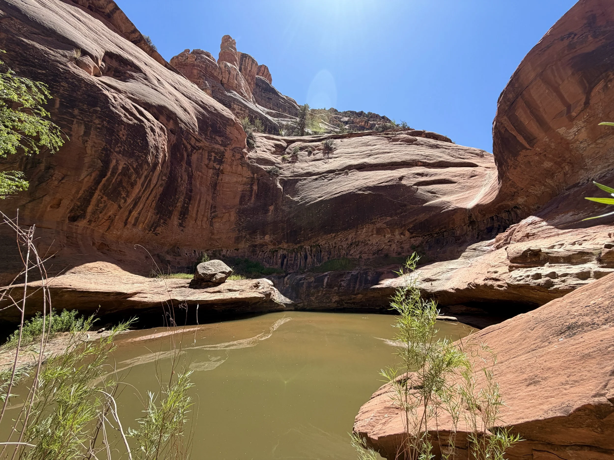
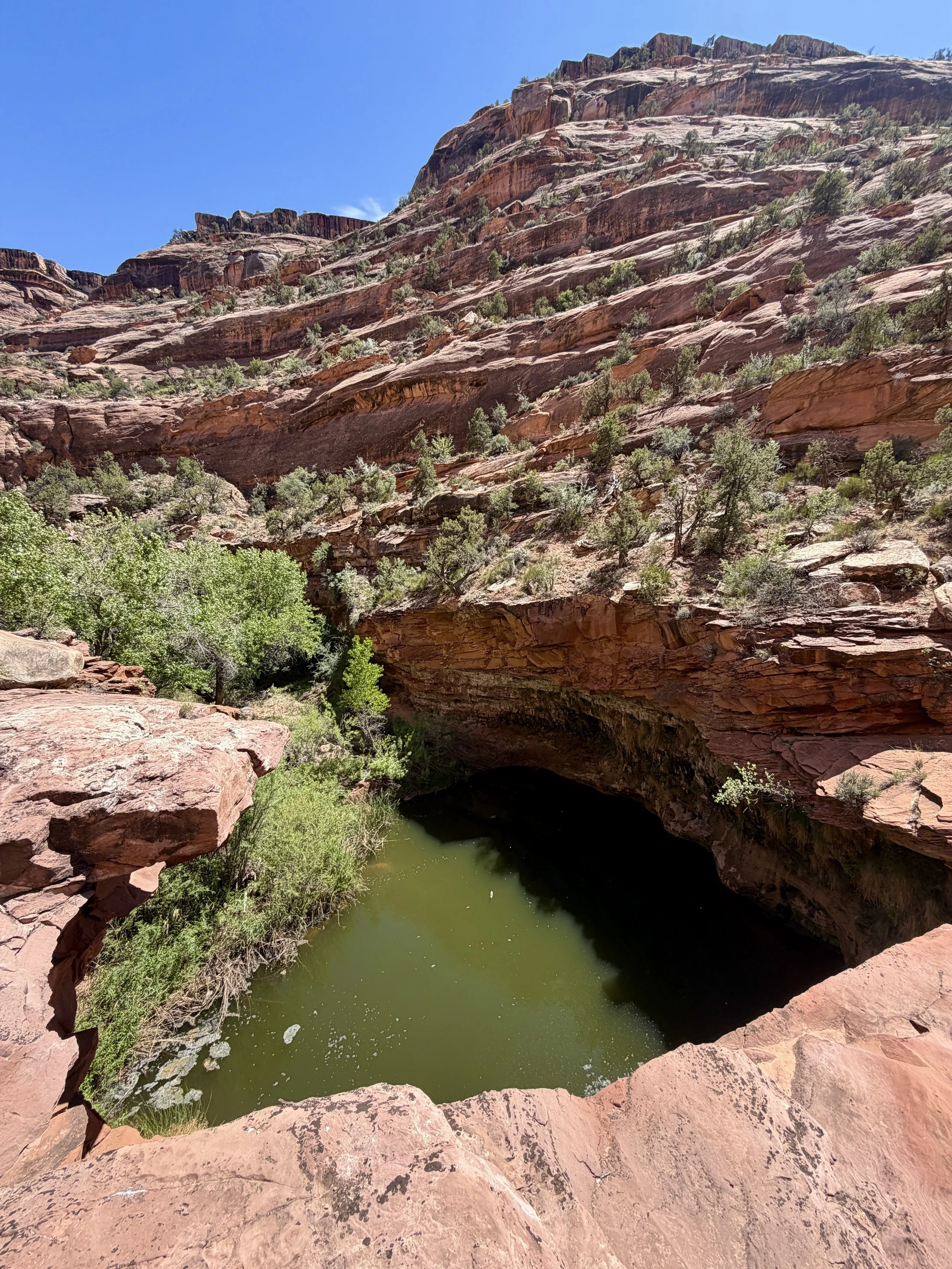
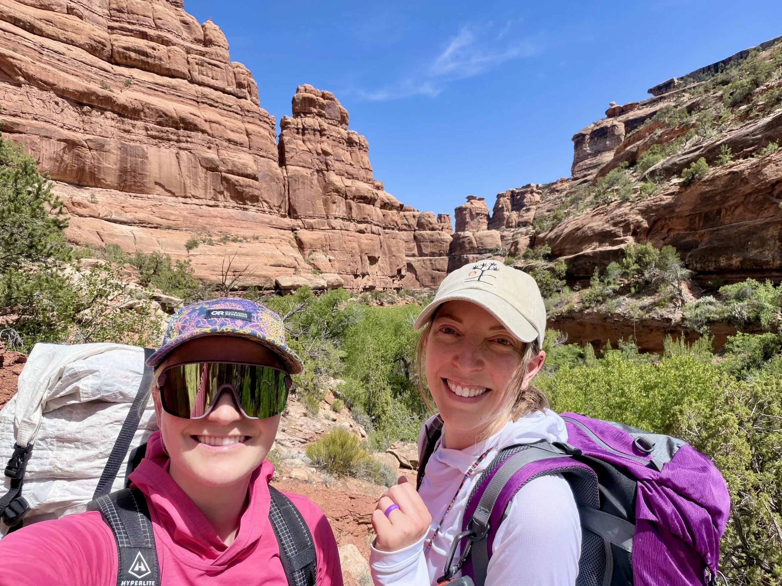
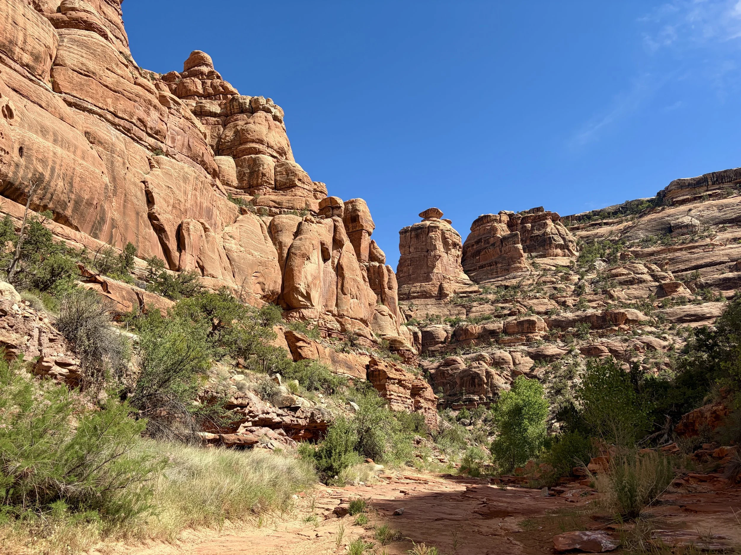
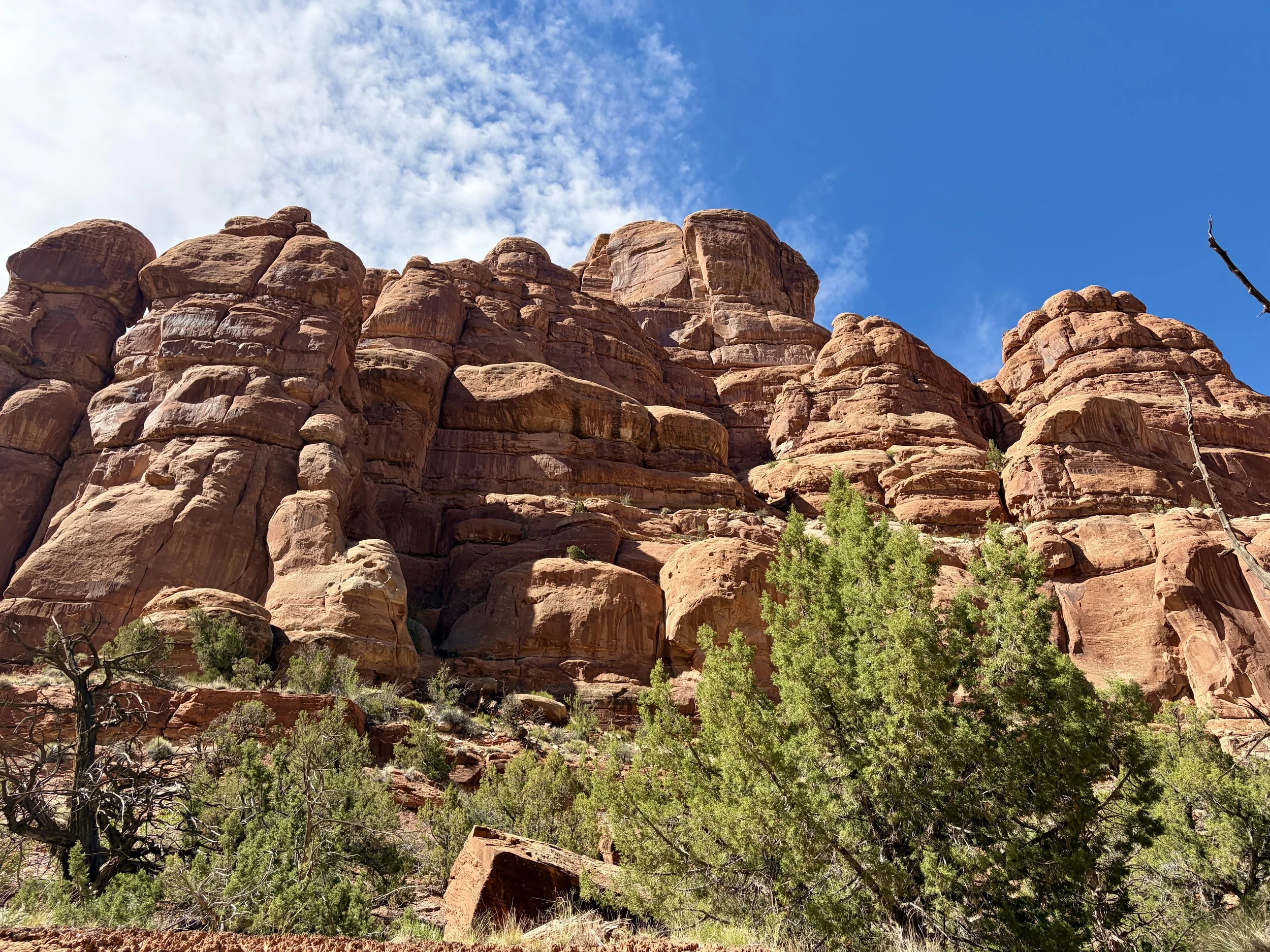
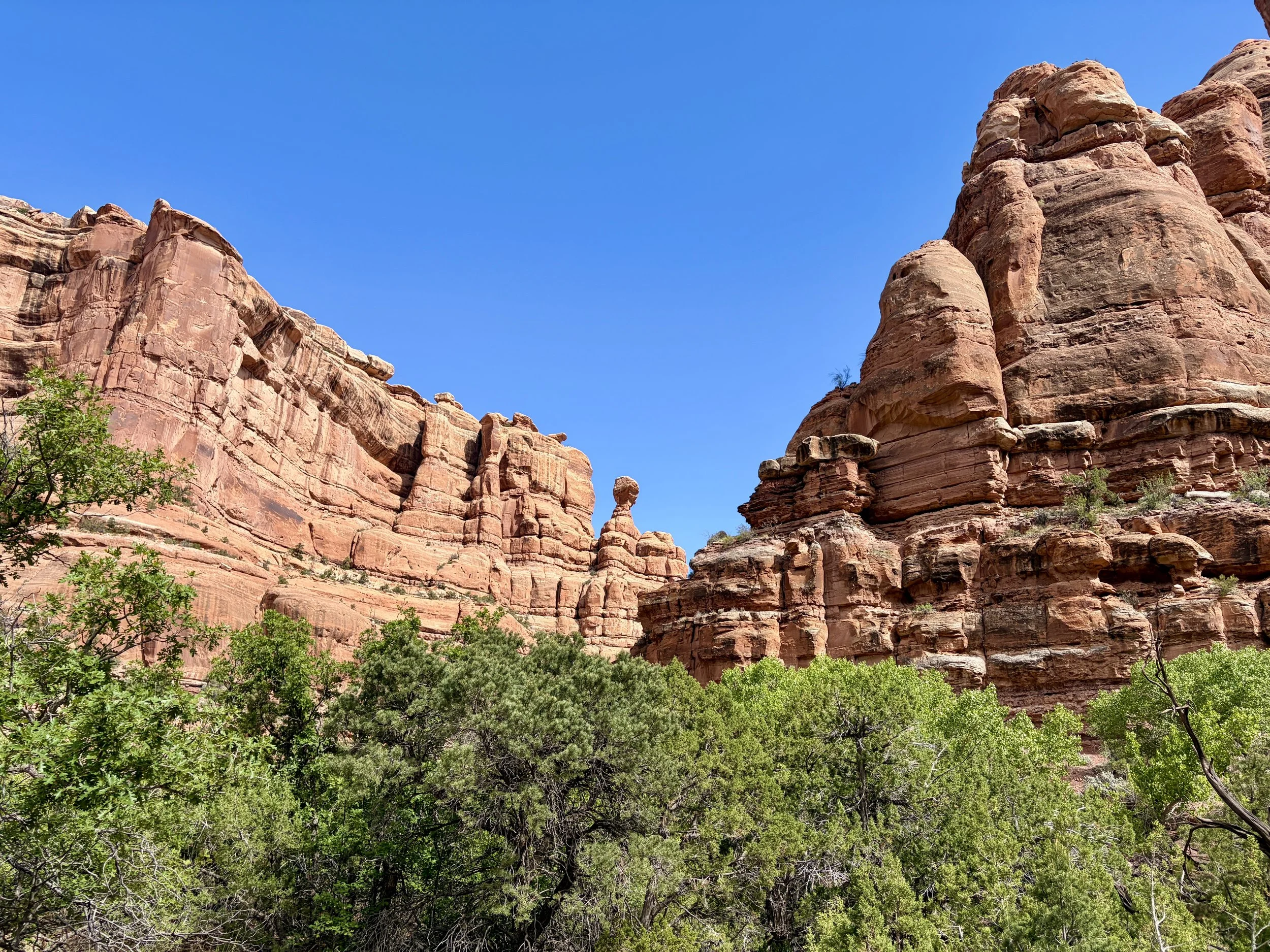
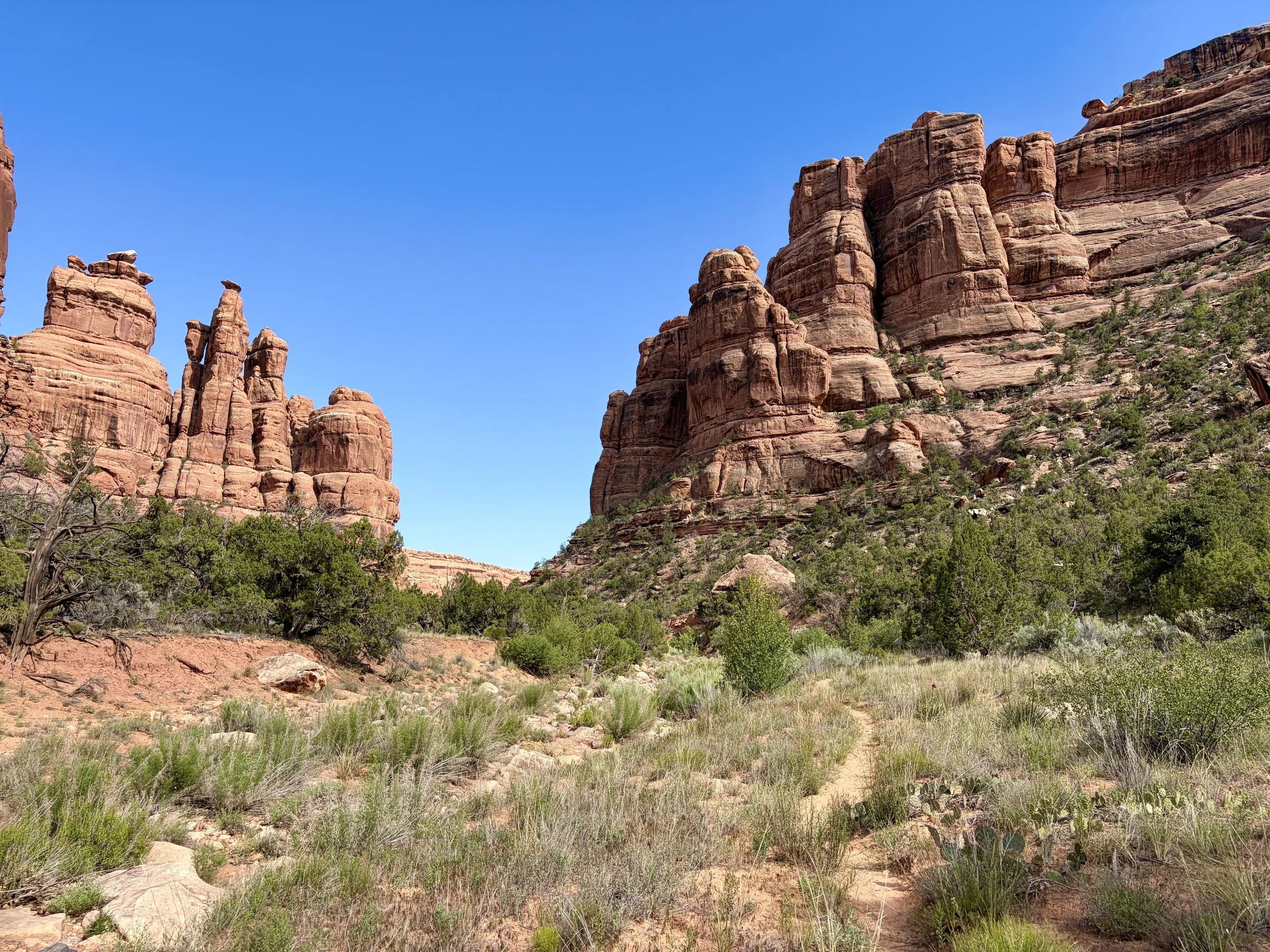
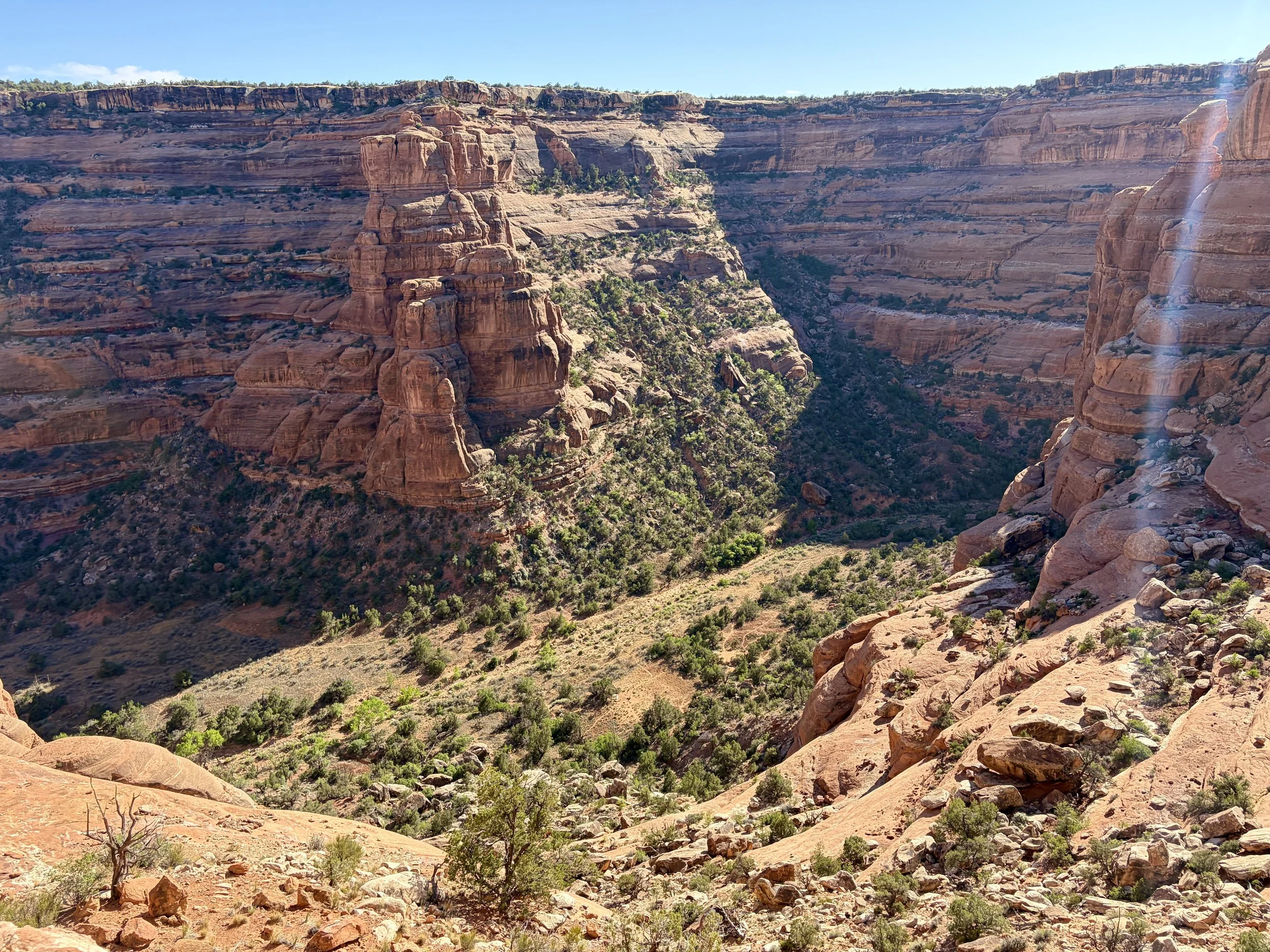
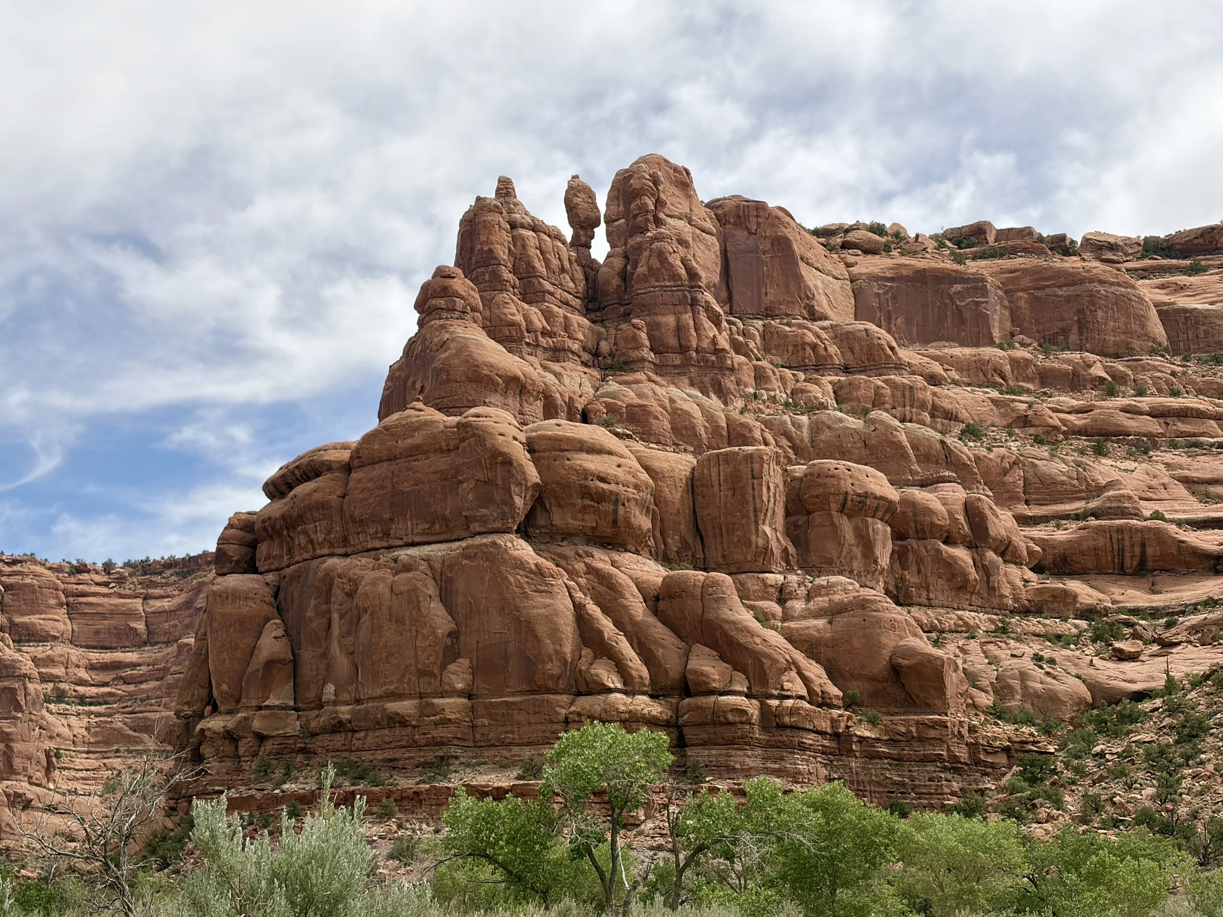
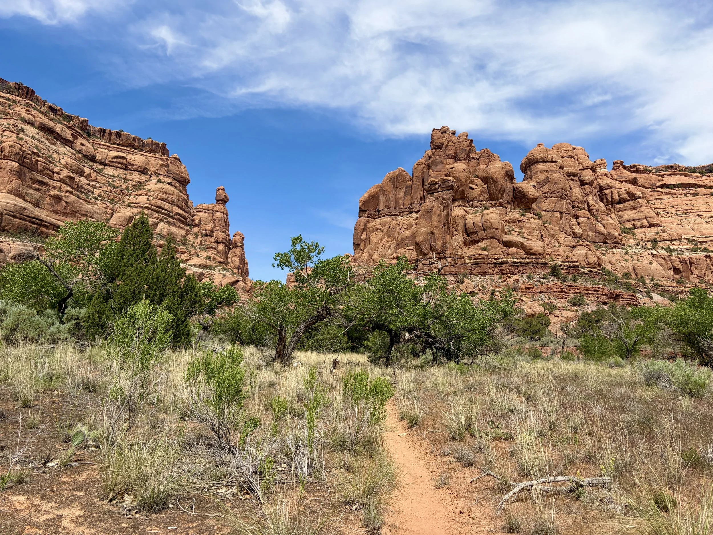
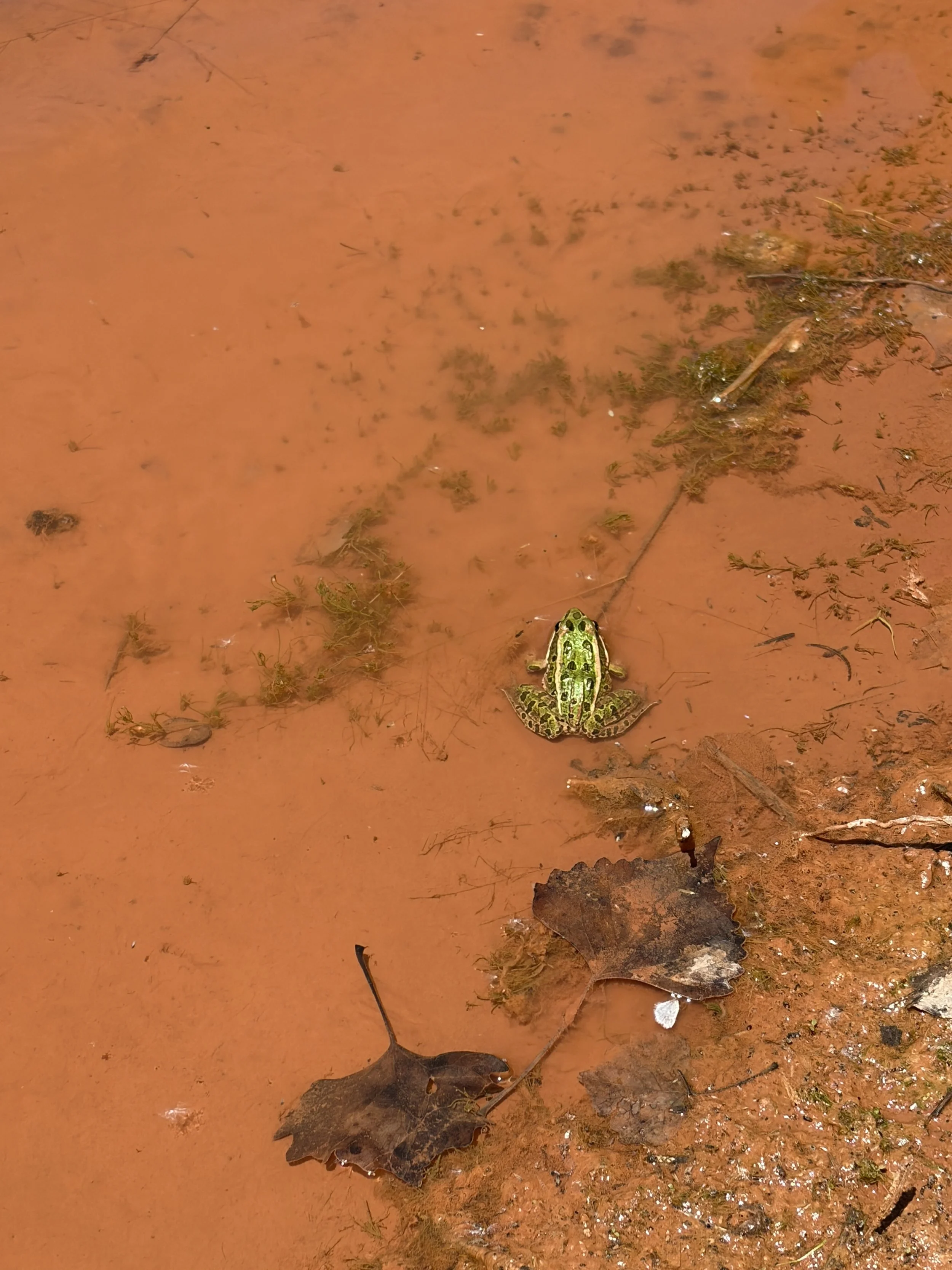
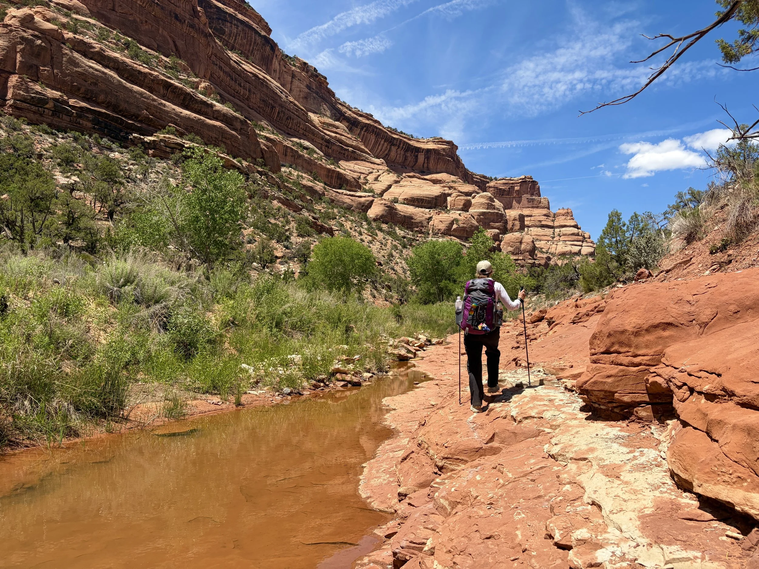
After making a few last minute adjustments to our packs, we headed out from the trailhead and quickly found ourselves descending into Owl Canyon. Shortly into our descent, we came upon some ruins. We dropped our packs and took a look around, finding some Ancestral Puebloan cliff dwellings and storage granaries, while making sure not to disturb anything. There was a waterproof box near the ruins that had a wealth of information in it about those specific ruins that we spent some time taking a look at. Once we had taken a good look at everything, we continued on our way and continued our descent into the canyon. We took a lunch break shortly before hitting the bottom of the canyon and right after this we ran into the first people we would see on this trip. They had completed the loop in the opposite direction so we were able to ask them some questions about what to expect. After talking with this group for a few minutes, we continued on our way. We soon found ourselves walking through the bottom of the canyon, which was quite lush and initially contained many pools of some very stagnant water that had an abundance of frogspawn in them.
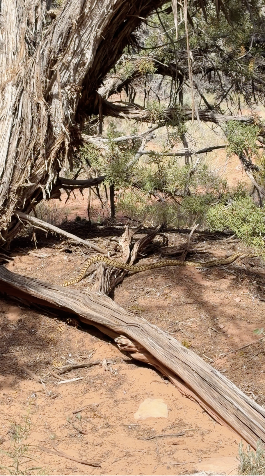
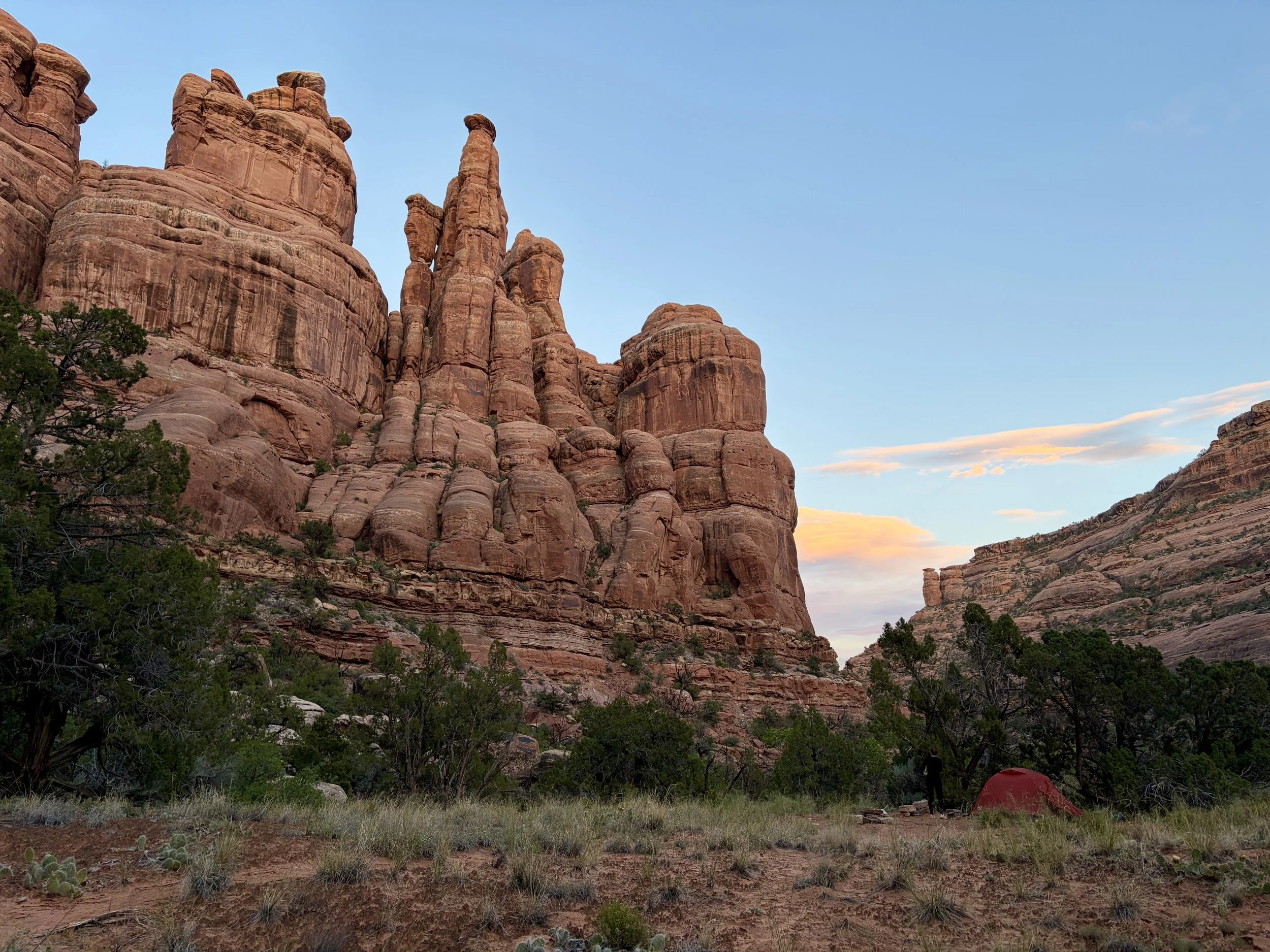
That night, we were hoping to camp around Nevill’s Arch, which we knew would have no water nearby so about 3/4 of a mile before the Arch, we filled up 5 liters of water each to make it through the night and the majority of the next day. With heavy loads, we made quick time to the area below the arch and started looking for a campsite. At one of the first sites we found, as we were evaluating one of the spots for a tent and determining how flat it was, my friend Lauren asks “Is that a rattlesnake?!” I look up and see one of the largest snakes I have seen in the wild slowly moving around the bottom of a tree about 10-15 ft away. I didn’t see any rattle at the end of its tail, but since I candidly am not good at identifying snakes, I couldn’t say with 100% confidence that it was not (We looked the snake up when we got back into service, and it turns out it was a gopher snake, which is often mistaken for a rattlesnake). Regardless, a 5-10 ft snake in our campsite was a no-go for either of us so we decided to look for another site. We walked a good bit away from the campsite and actually ended up finding an even better one that we liked with fantastic views of the arch. No snakes in sight.
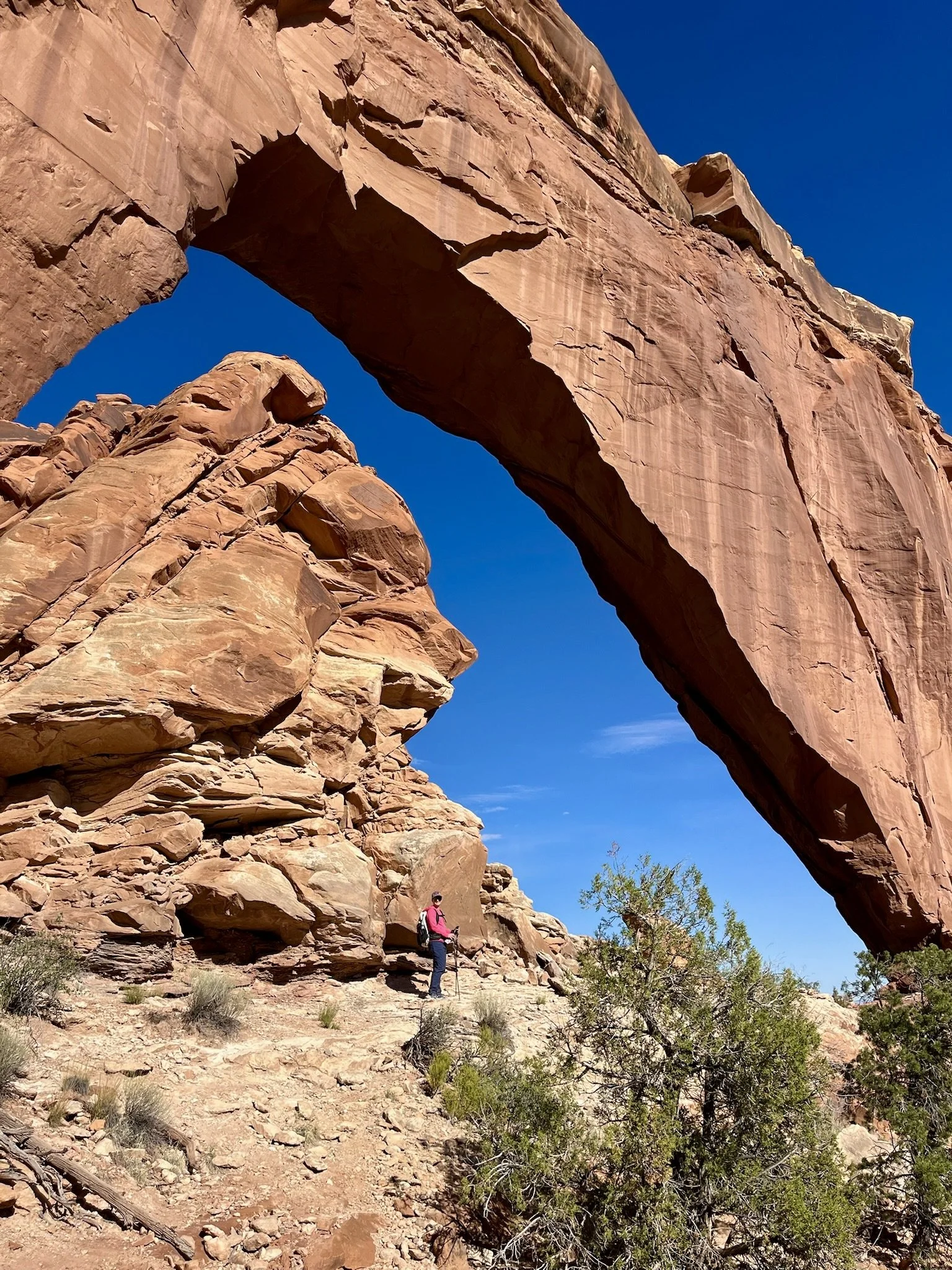
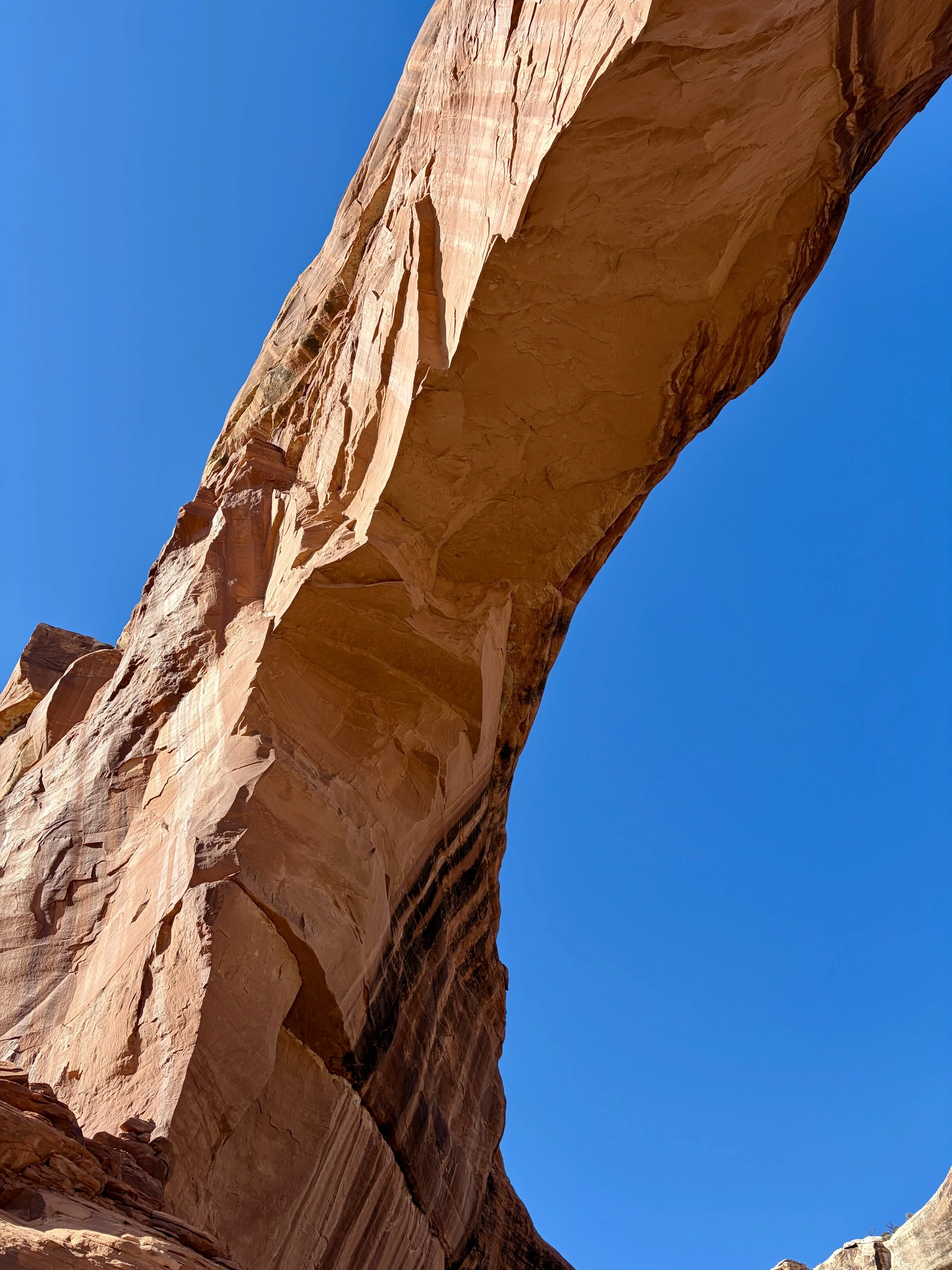
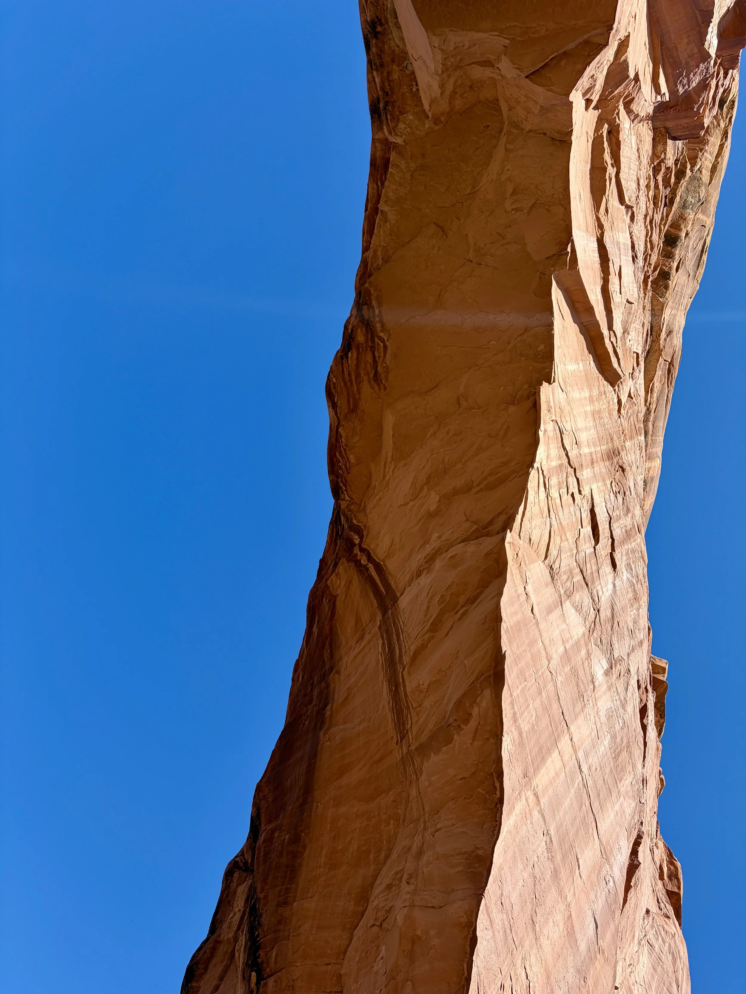
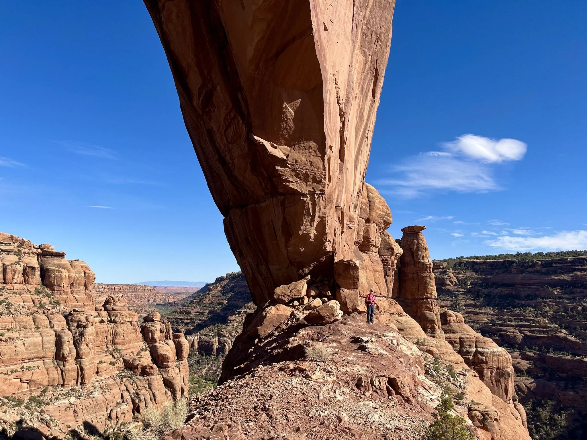
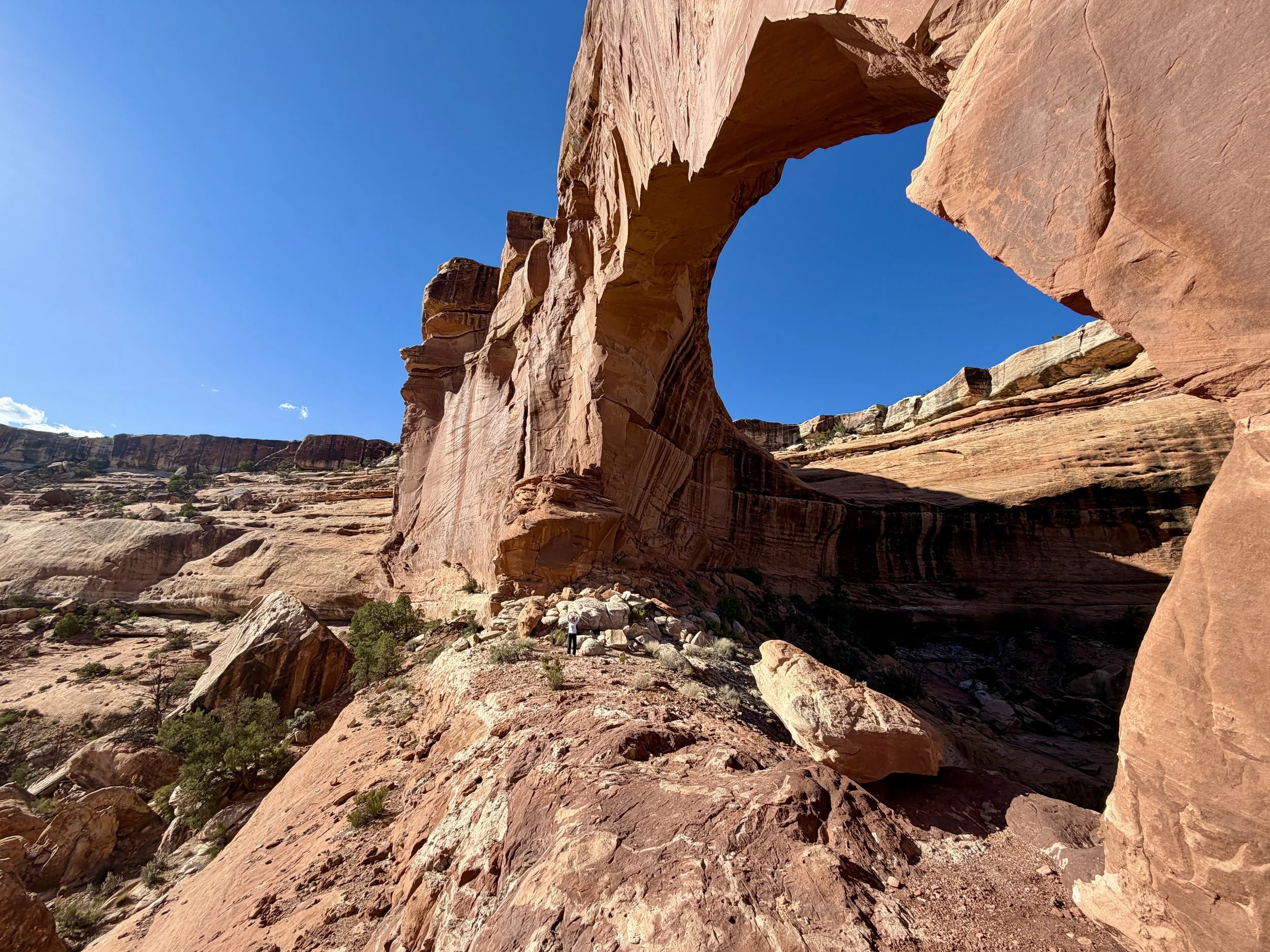
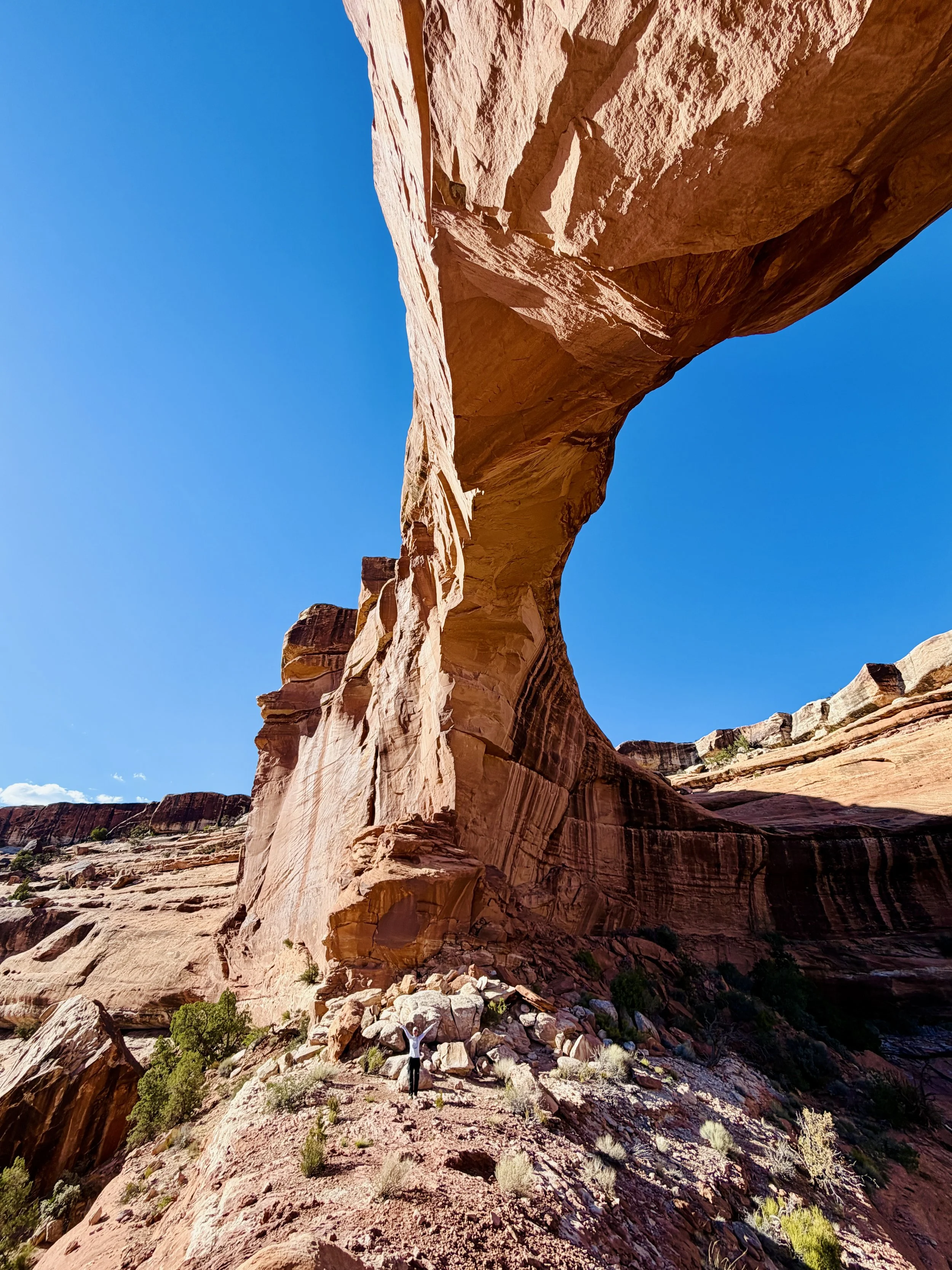
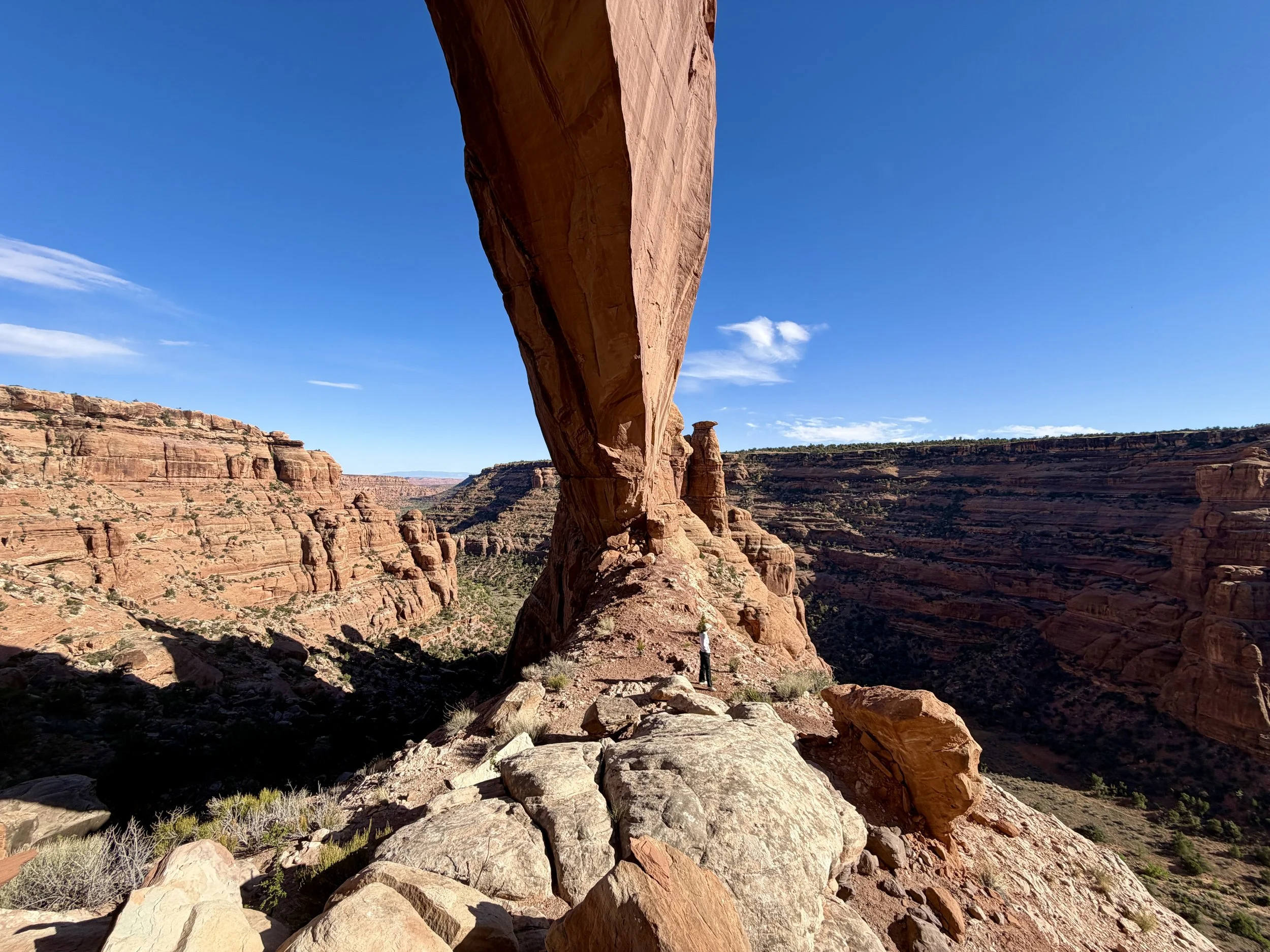
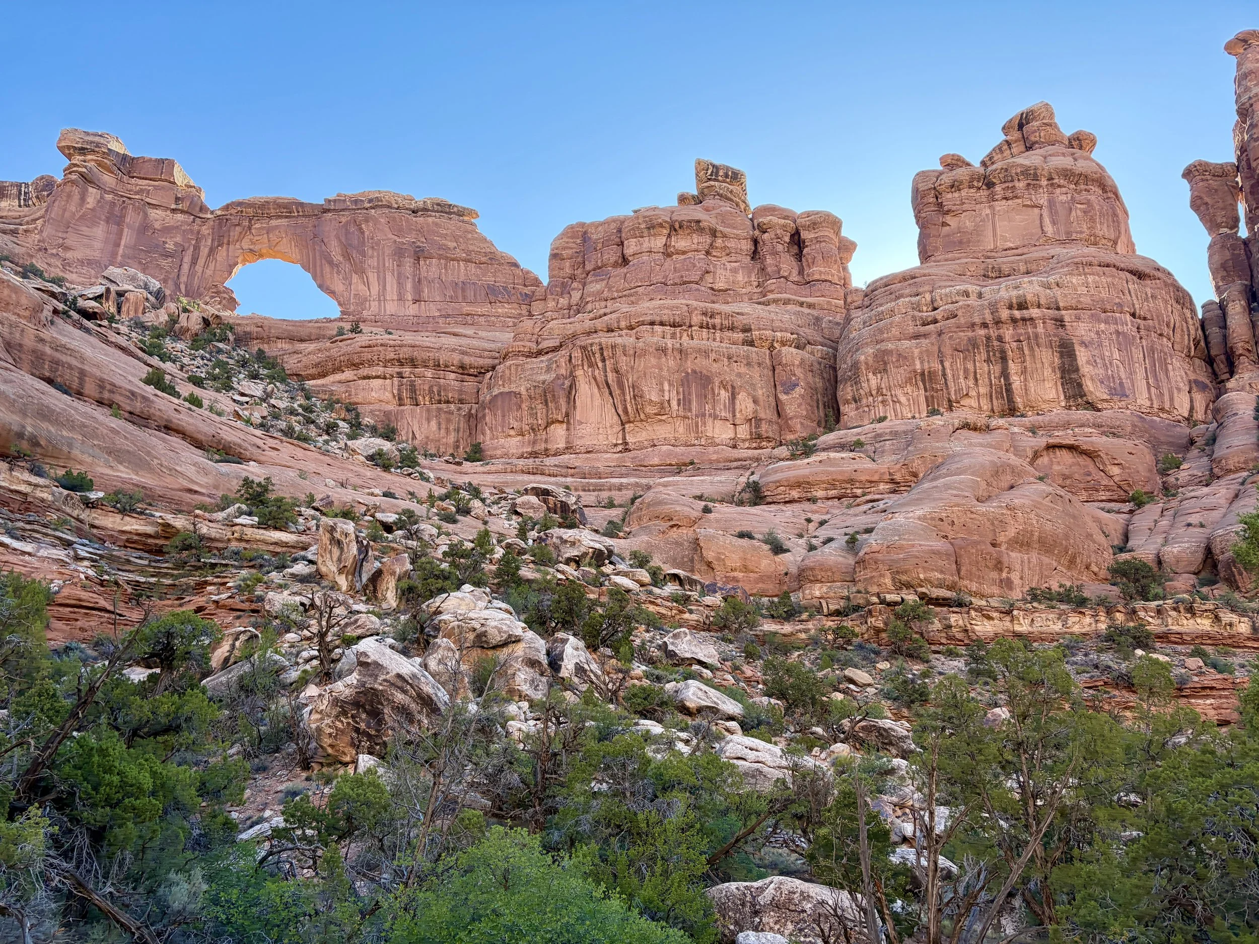
We set up camp and decided to scramble up to the arch. After 20 minutes of scrambling, we found ourselves standing underneath Nevill’s Arch. This arch is quite impressive, with a span of 140 ft and an opening height of 80 ft. We spent some time looking at the arch from below and enjoying the views of the canyons below at the same time. After taking a break and some pictures, we headed back down to camp the same way we had come up. After dinner, we headed to read in the tent before bed.
I went to bed around 9pm and was woken up by Lauren at around 9:30 telling me that someone was walking not far from the tent with a headlamp on. I poked my head out of the door and noticed the headlamp was coming towards us. When the man was about 20 ft away from our tent, I asked if we could help him. He seemed startled but told us he was going up to the arch to stargaze with the person he was with. He proceeded to walk right next to our tent and head up towards the arch. I figured that after realizing he walked right through our campsite, he would take a different route back to the trail that didn’t involve walking within 5 ft of someone’s tent. Turns out I was wrong. At 11pm, I got woken up again by someone’s headlamp shining into our tent and footsteps right outside of our tent. I was extremely uncomfortable with the situation, but at this point figured a confrontation would not help the situation, and thankfully, the extremely inconsiderate stargazers walked through our site without stopping and continued on their way. Between the snake and this, it was not an ideal first night backpacking for Lauren as I’ve never had either of those scenarios happen while backpacking, let alone both happening within a few hours of each other. It took us a while to fall back asleep as its hard to relax when you get woken up by a stranger right next to your tent. We finally managed to fall asleep, but it was not the most restful night.
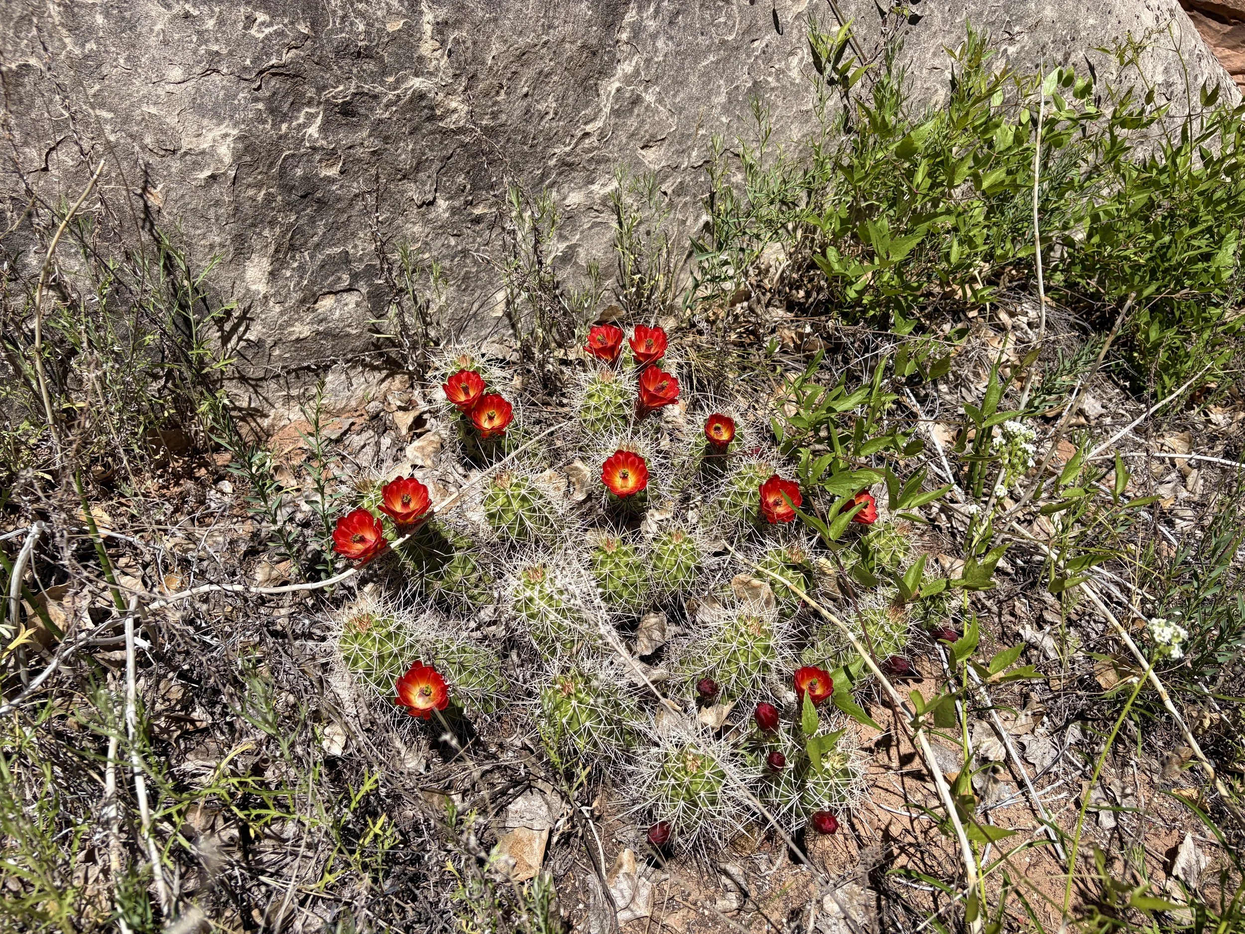
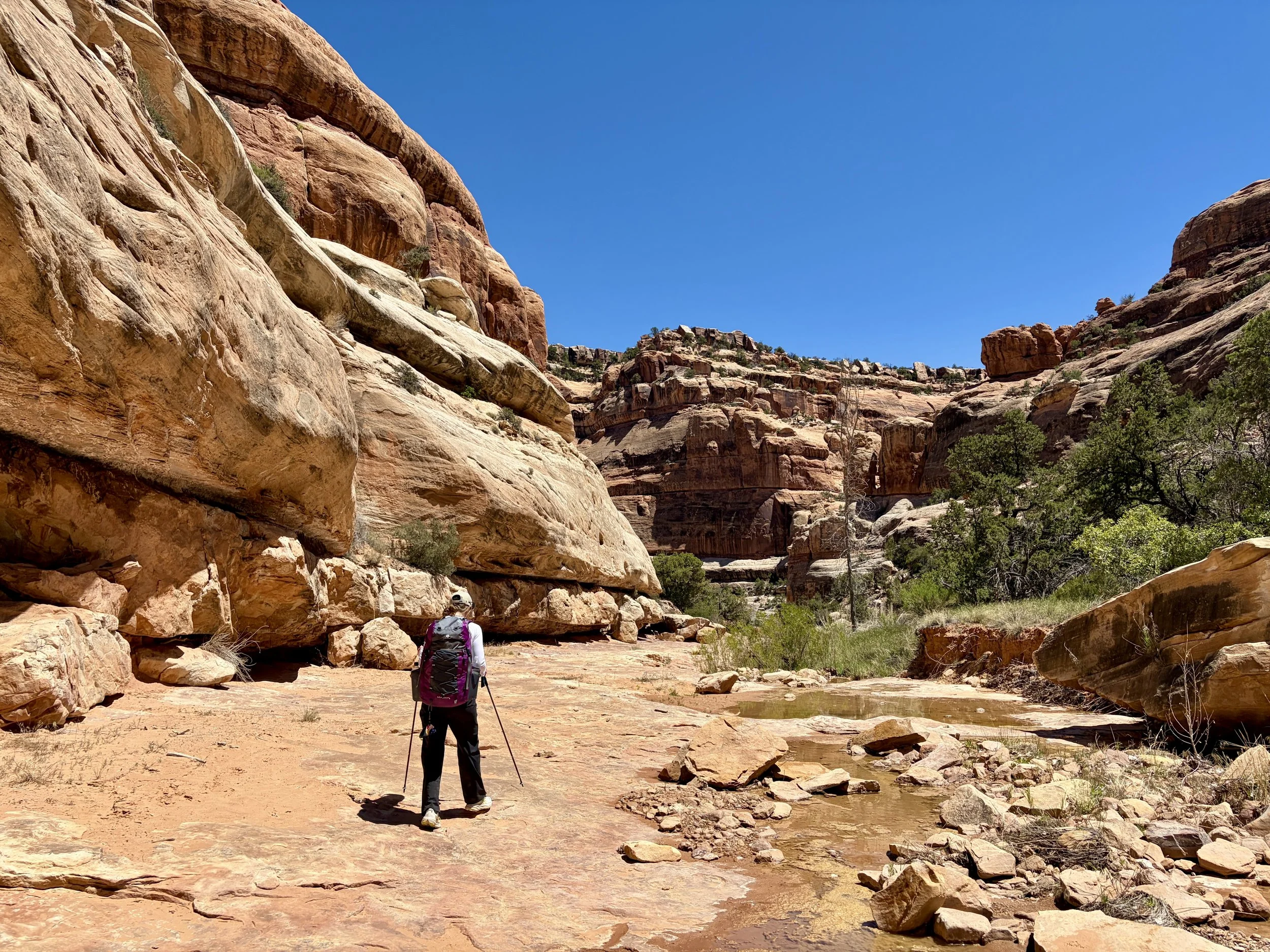
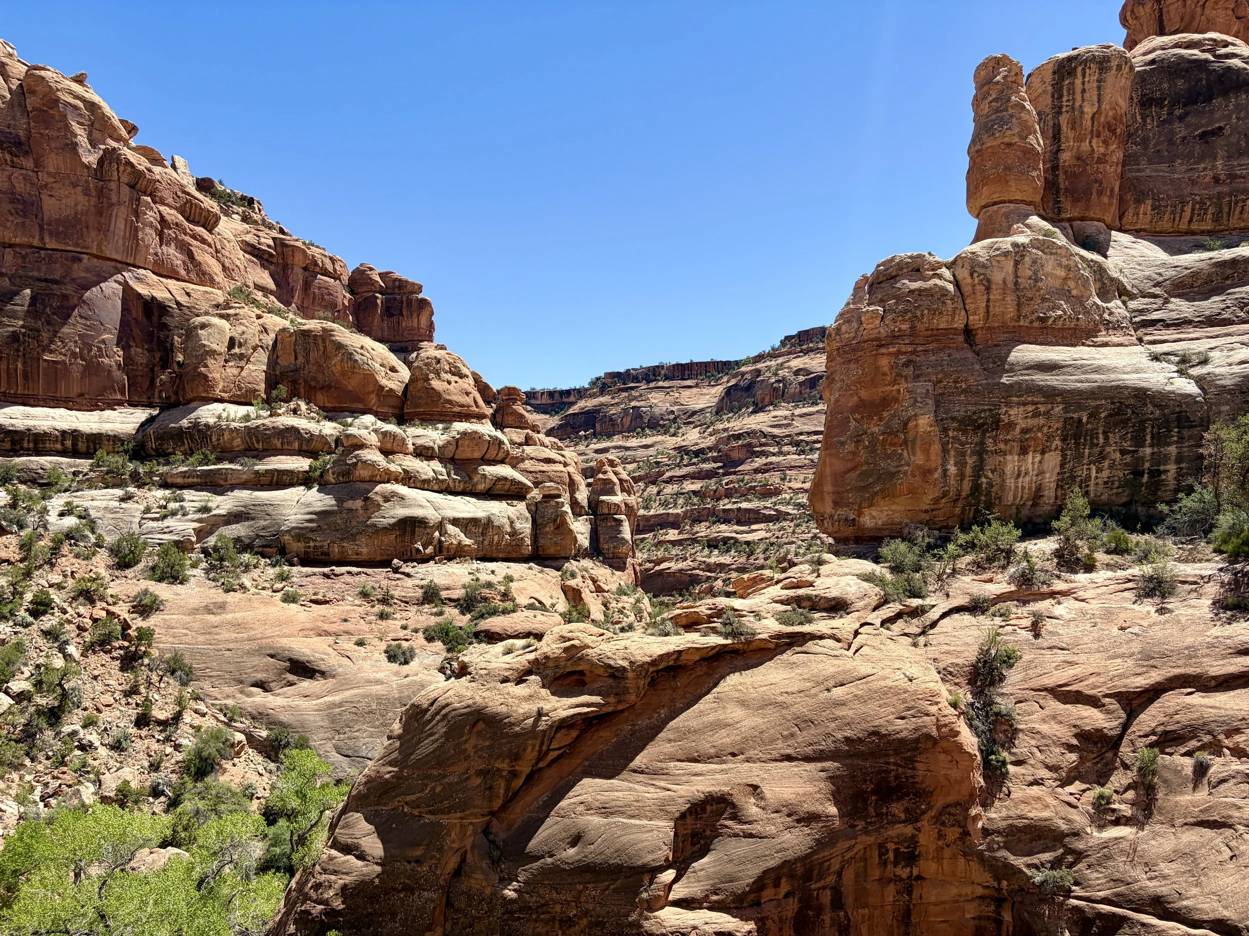
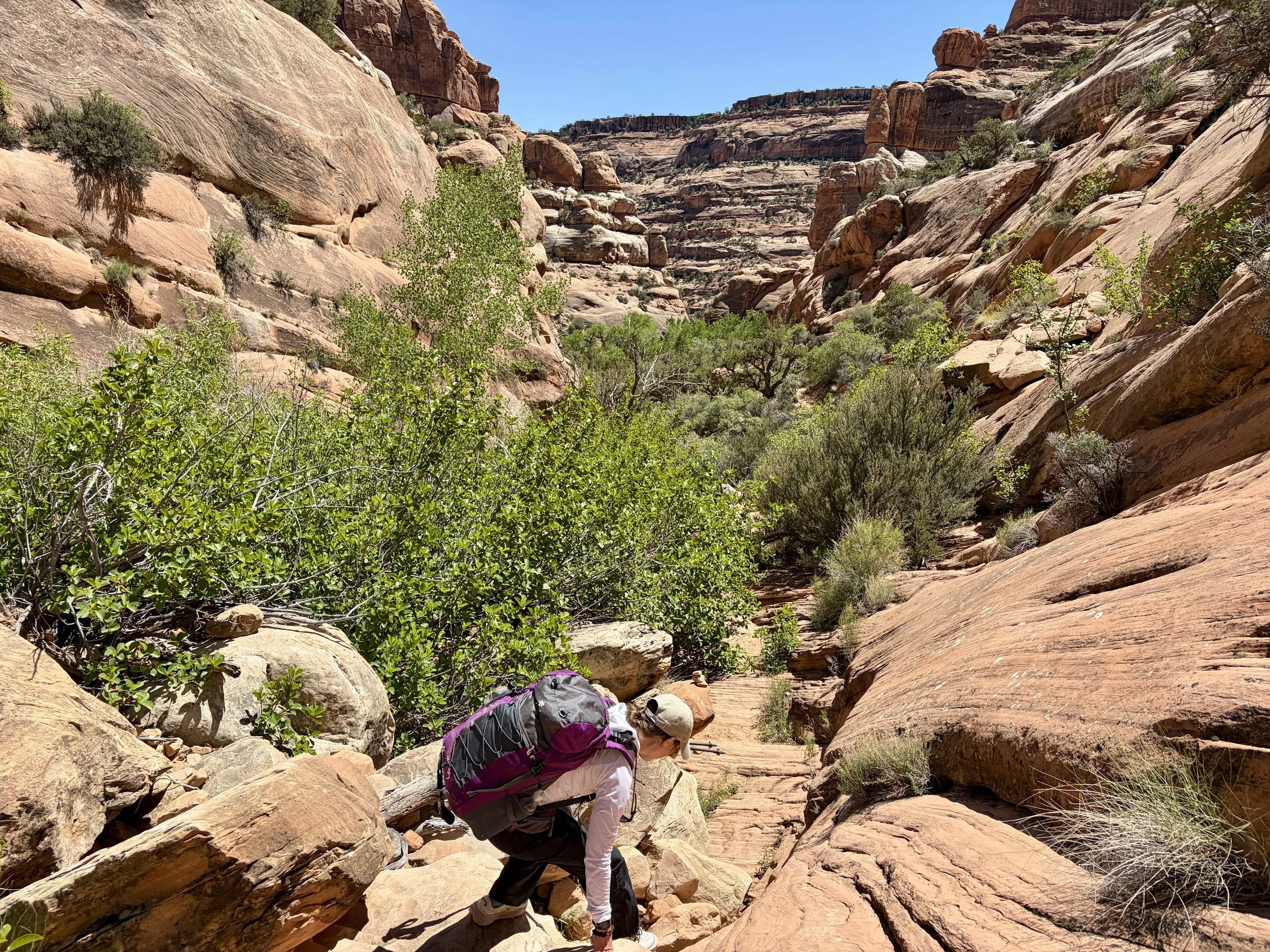
Day 2
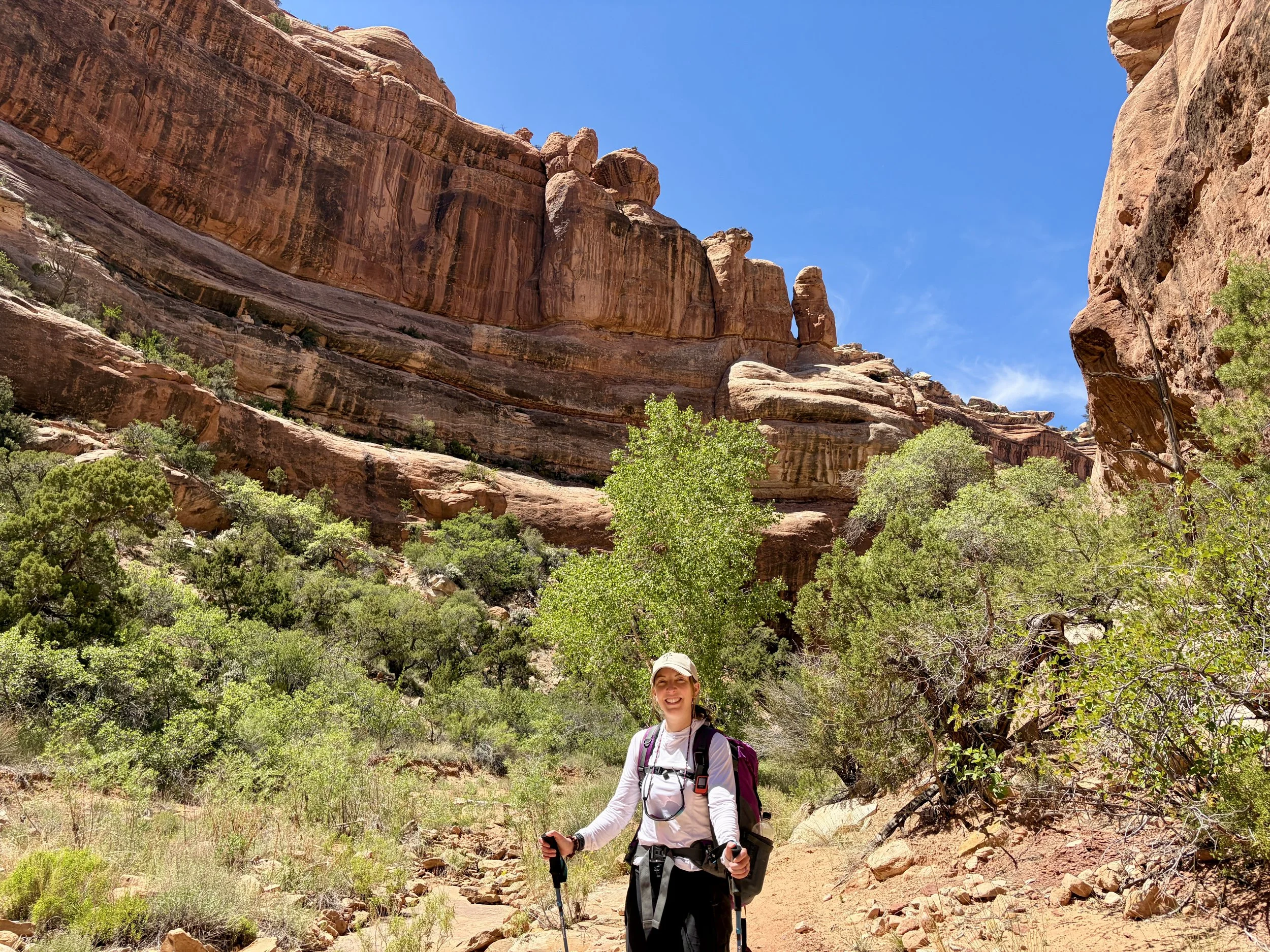
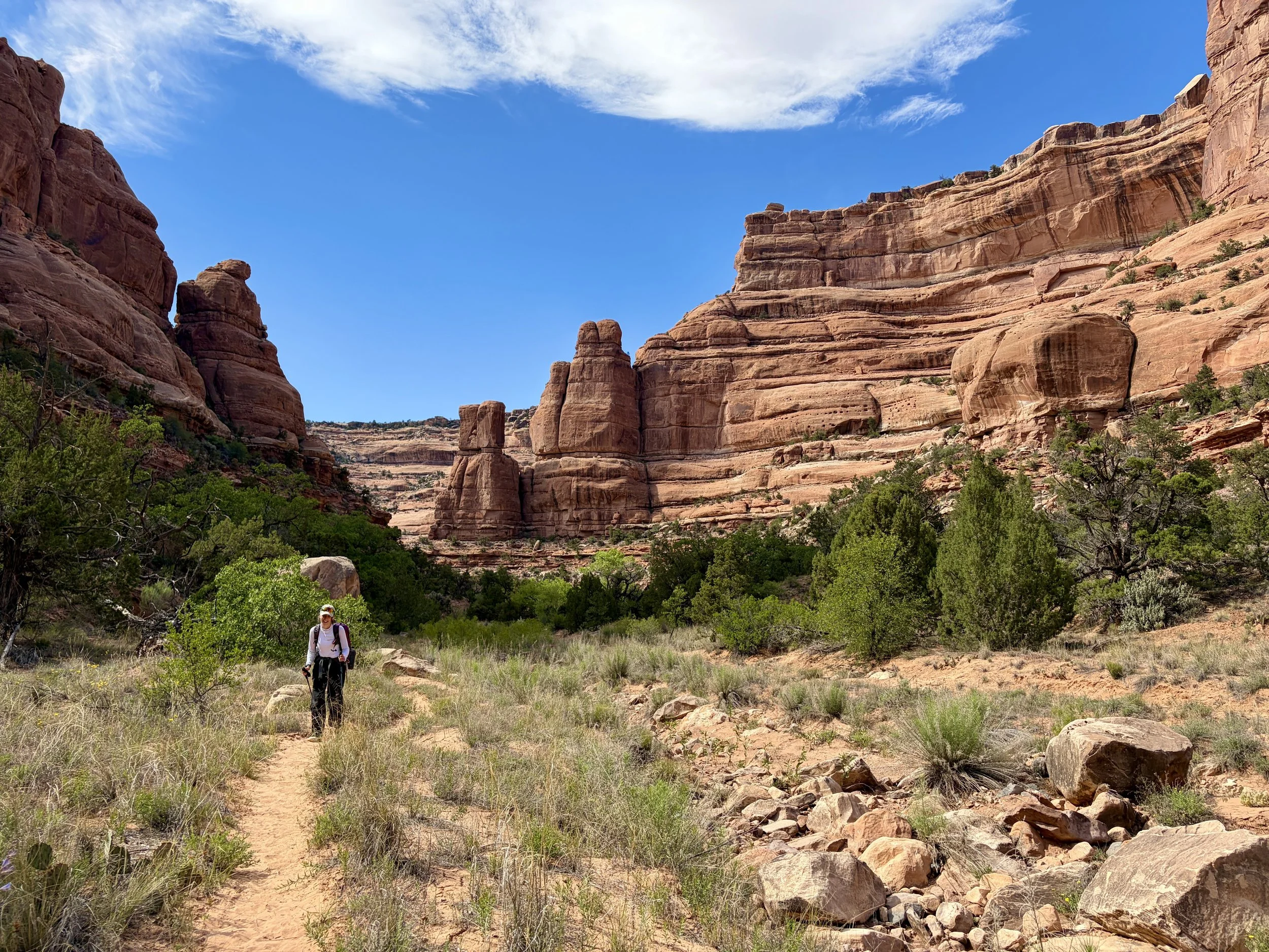
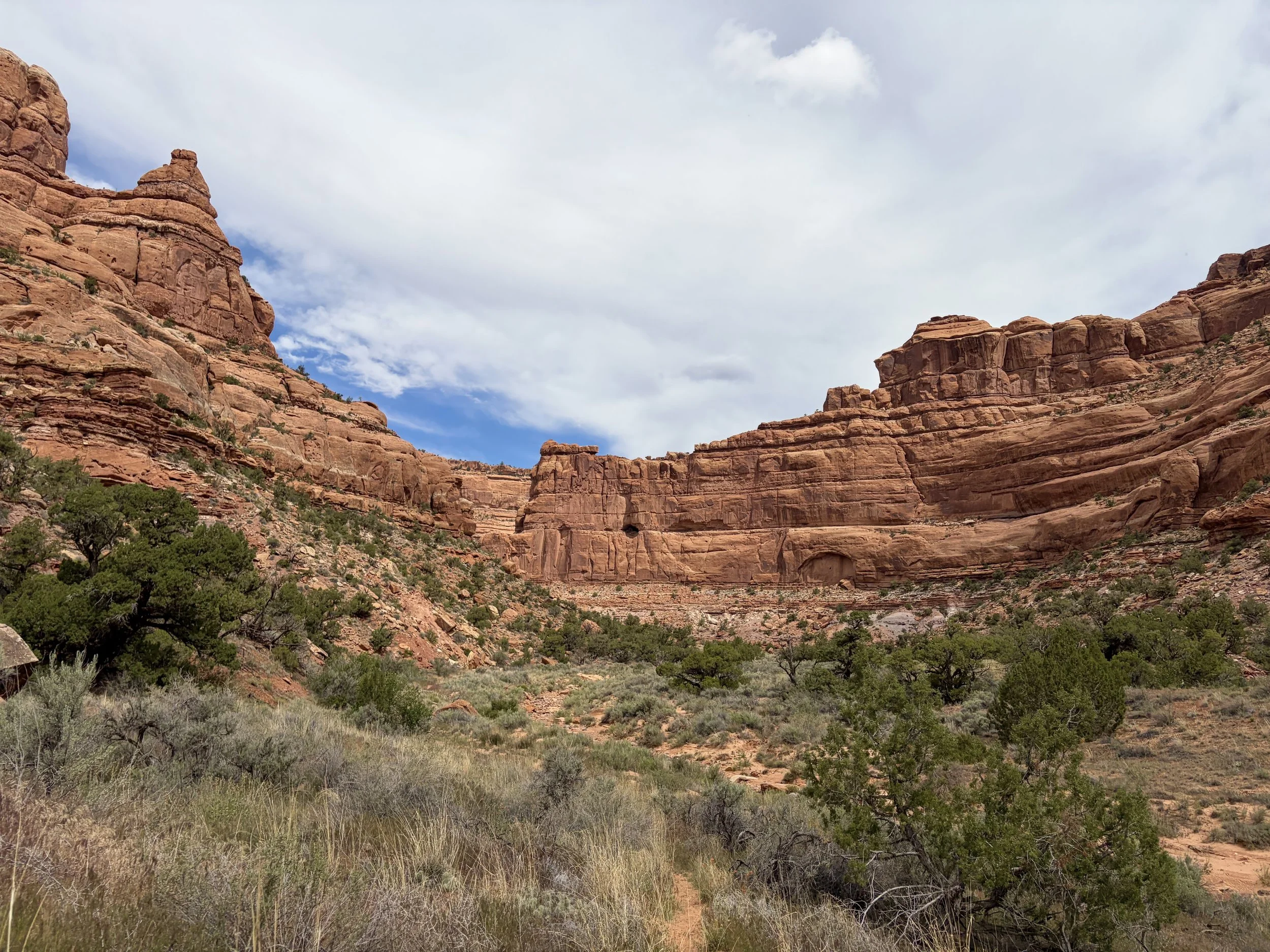
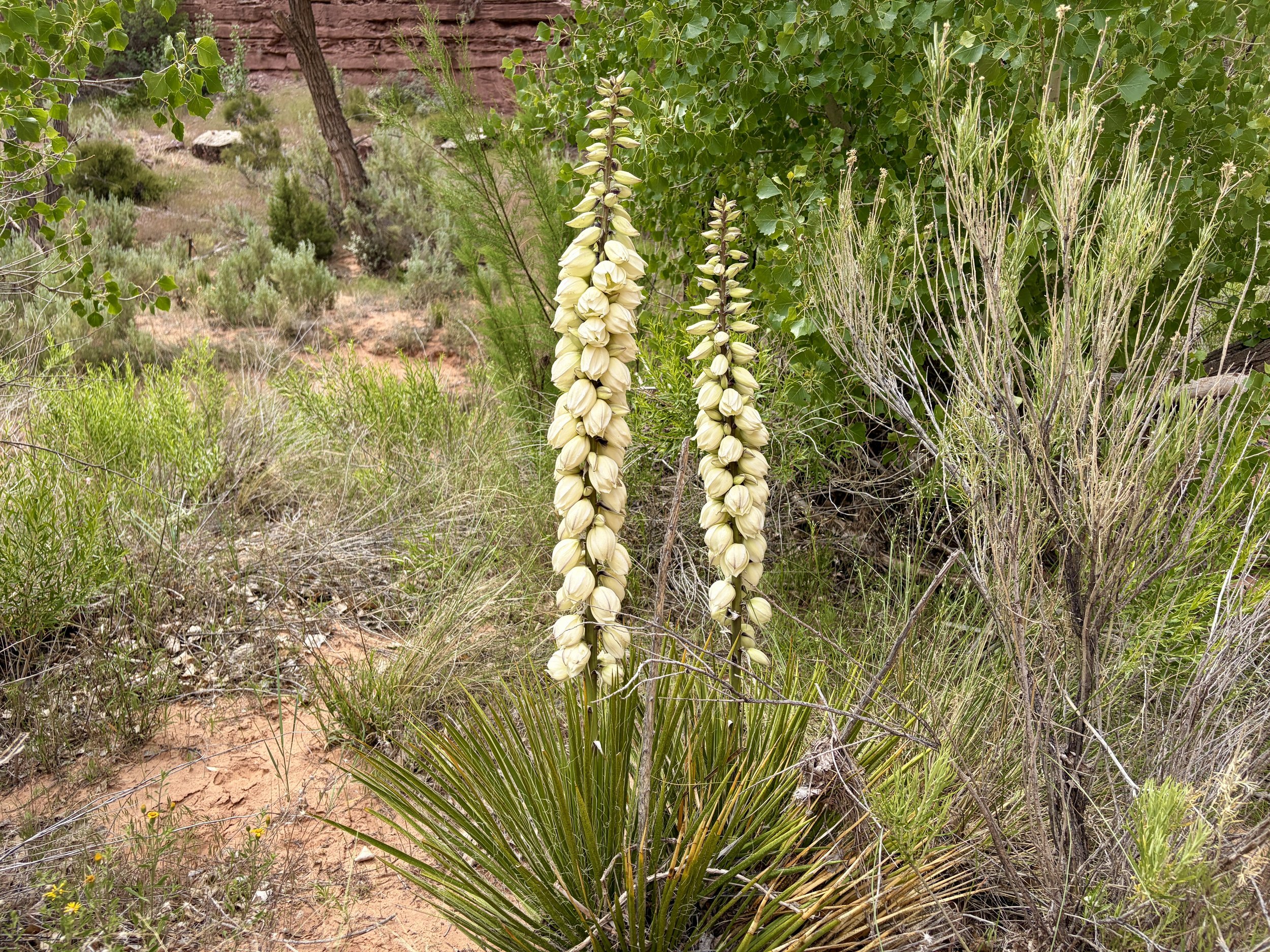
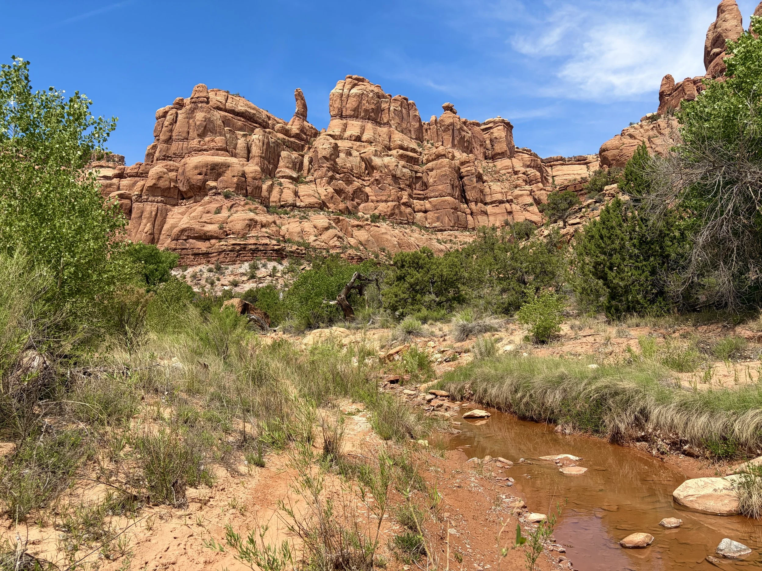
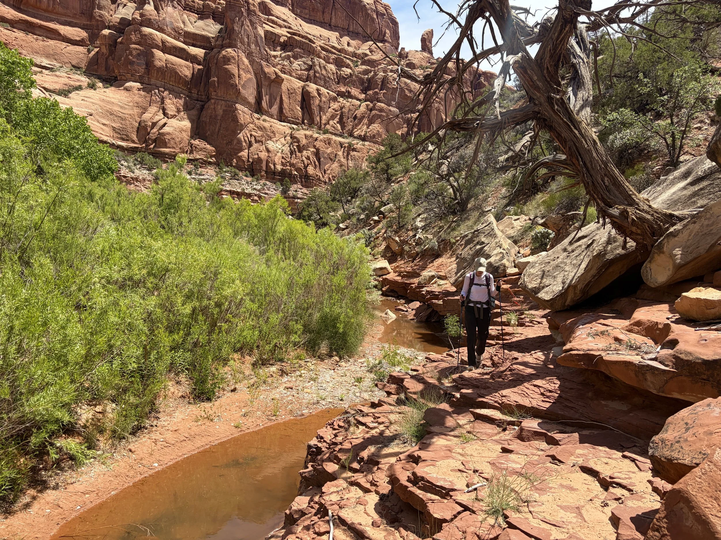
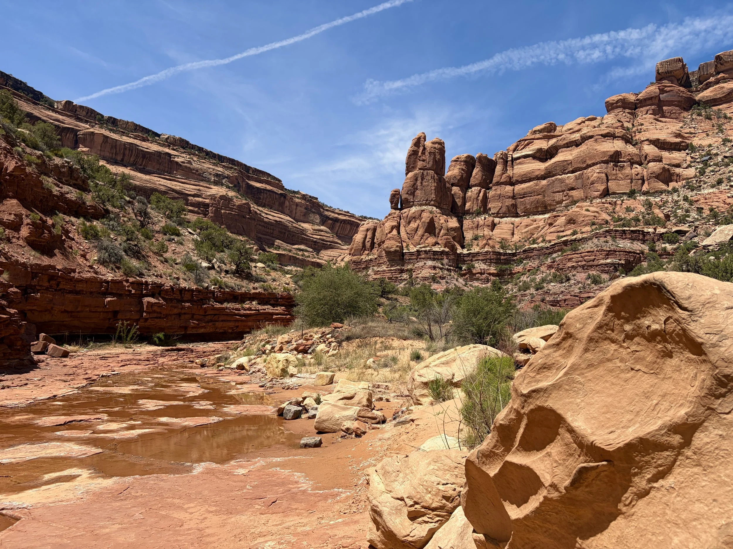
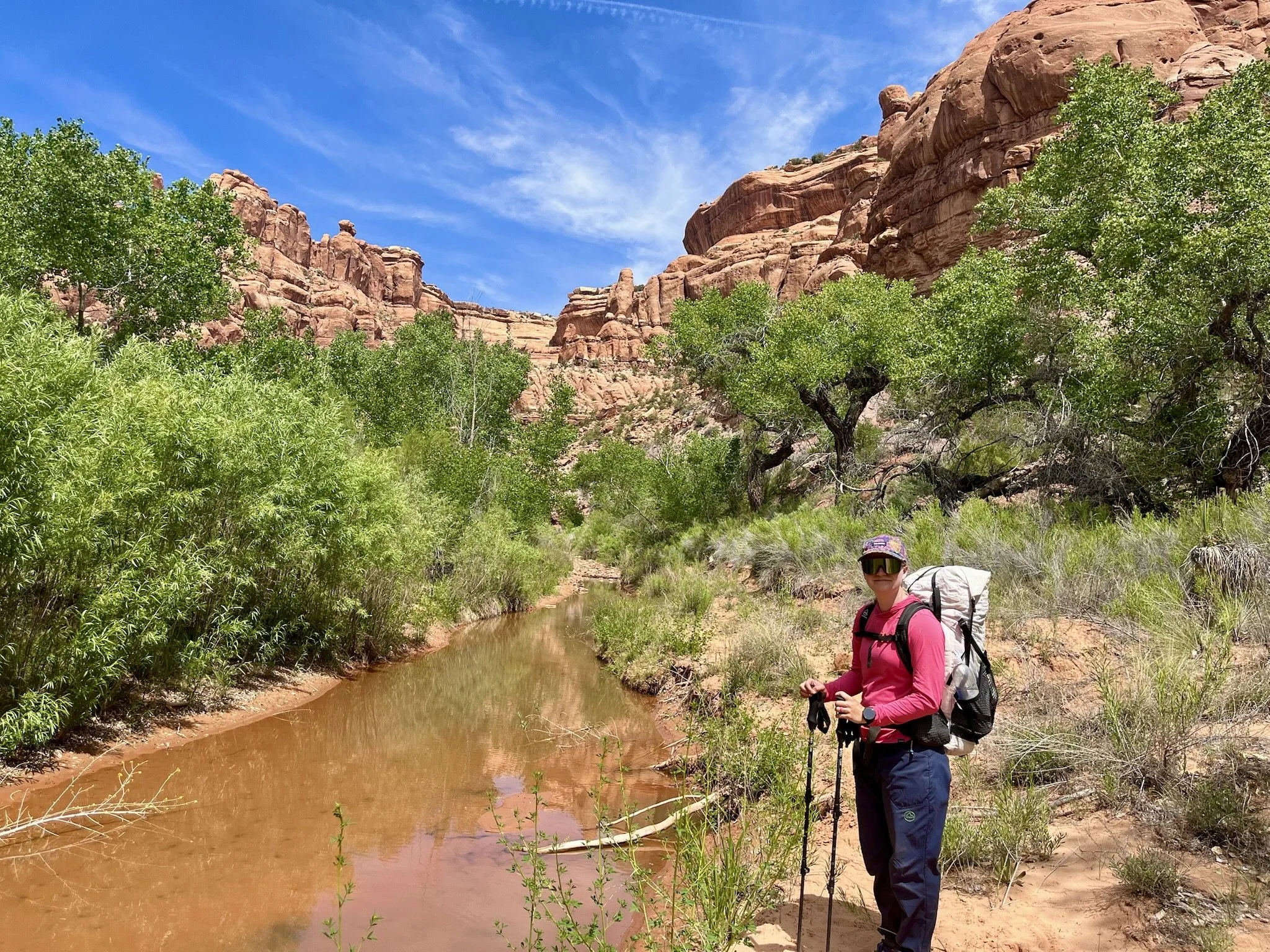
We slept in a little the next morning, but both of us were still quite exhausted from the previous night’s events. I promised that it meant we would sleep well on the second night because we would be so tired! We headed out from camp and continued to follow the Owl Canyon trail to the confluence with Fish Canyon. So far things for us were much quieter this morning. We took a snack break in the shade at the confluence and knew it was going to be a hot day. After a snack and getting all of the sand out of our shoes, we turned left and headed up Fish Canyon. We knew we had a few more miles until we’d find our first water since 3/4 of a mile before Nevill’s Arch the previous afternoon. We passed a few nice looking campsites and started seeing some pools of water. In many spots the water was running. I really enjoyed the scenery in this part of Fish Canyon. It was also much more remote feeling than the area around Nevill’s Arch and the part of Owl Canyon leading to it as we did run into some backpackers and hikers the day before.
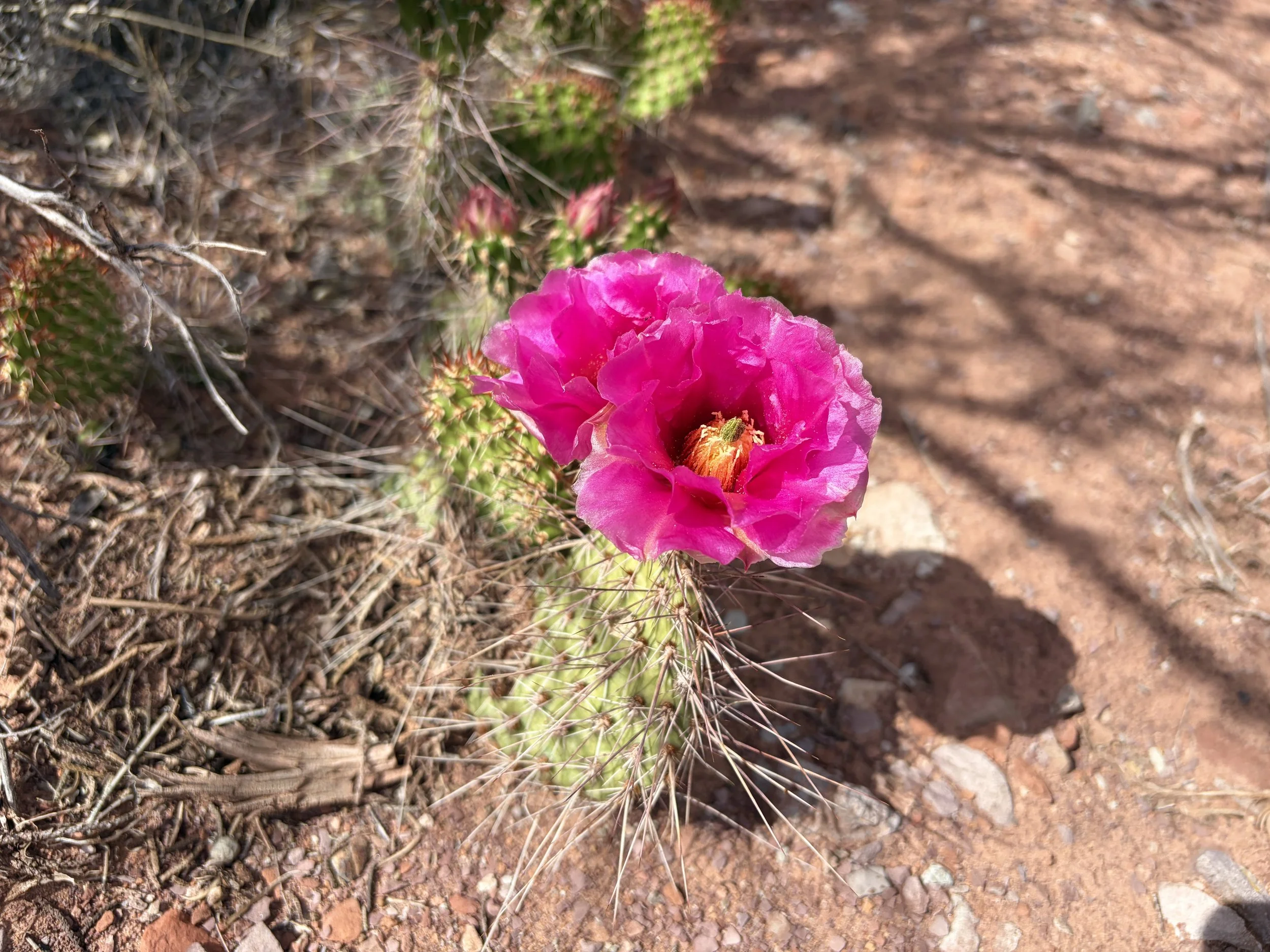
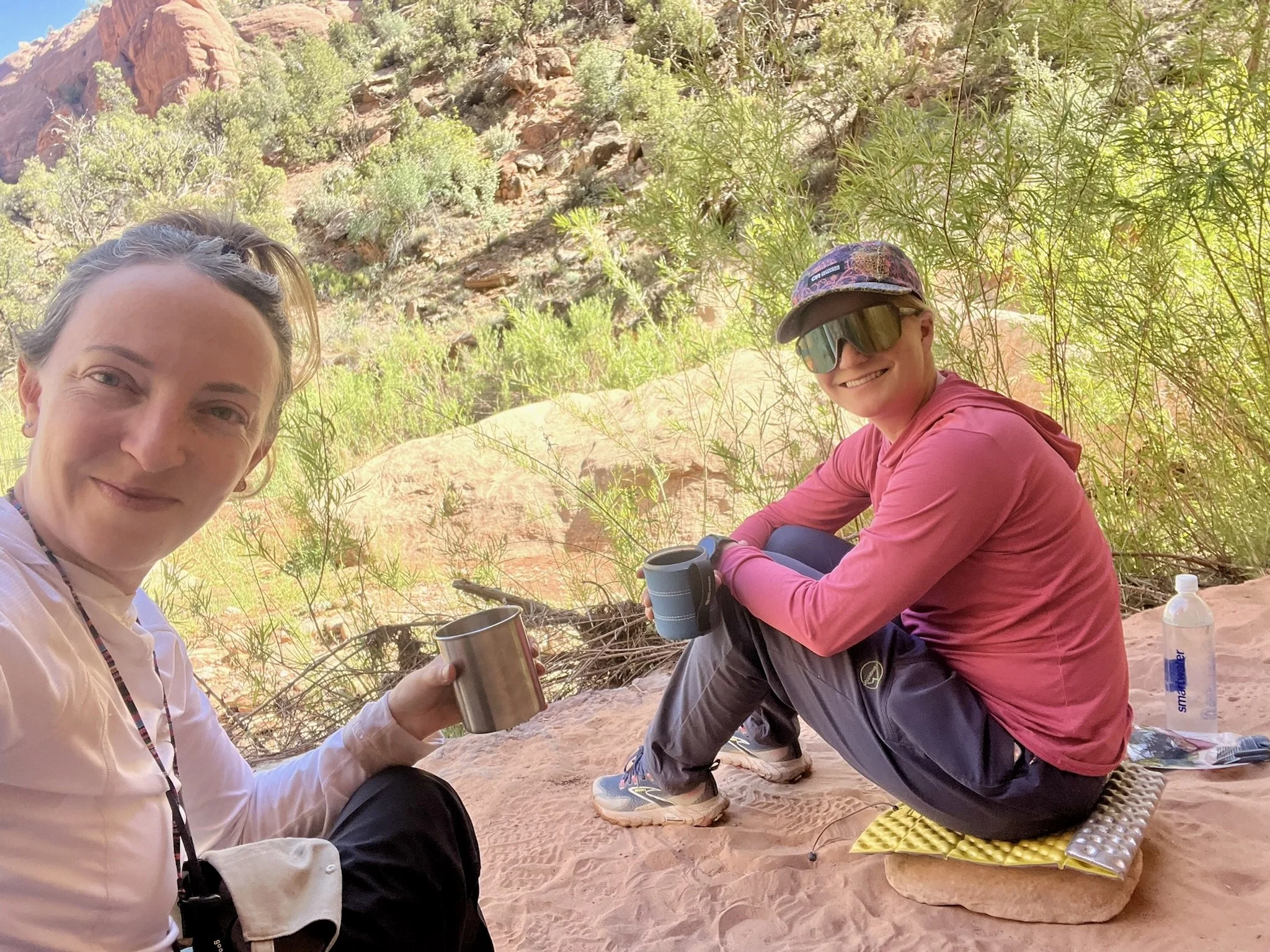
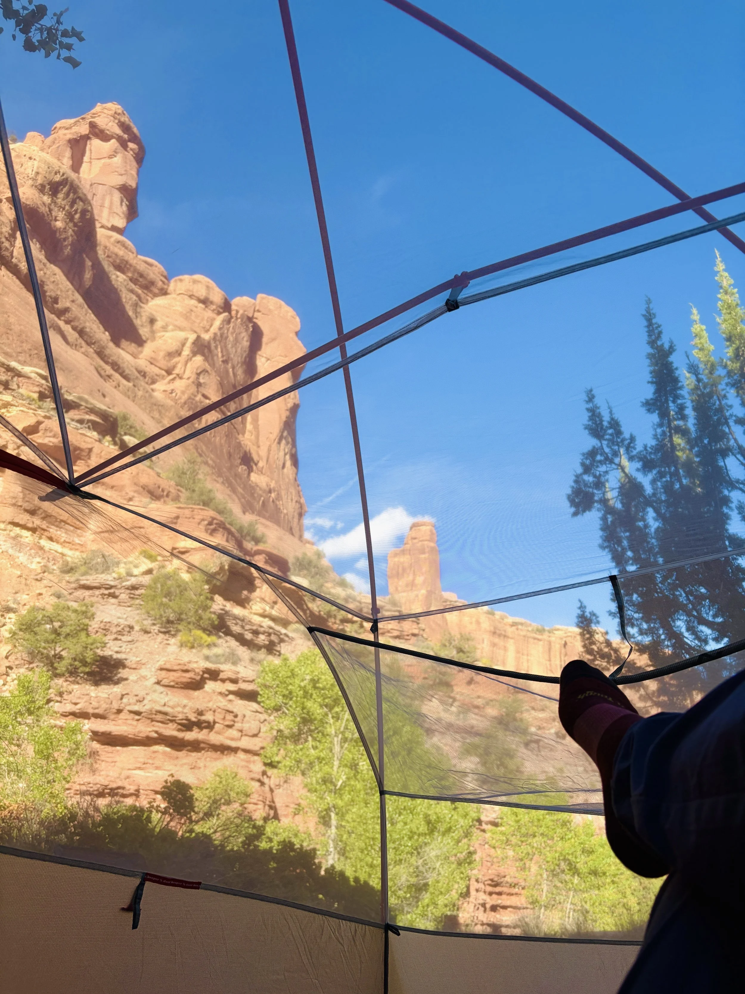
The temperature that day was in the mid 80s and so we took frequent breaks as it was quite warm to be hiking. We knew we would hit a 2 mile stretch in the canyon that had no water. This was the only spot where we ran into some people that day, a group of three women, who told us we were not far from water being available again. At this point, it was late afternoon and we were running low on water so we figured that the first campsite with water access that we saw would be the campsite we’d take. Not long after the encounter, we found a nice site. This site had a large boulder nearby that we were able to sit under that provided us some shade and relief from the sun. We spent the rest of the afternoon relaxing and catching up. We made dinner and headed to bed on the earlier side of things as we were quite tired from the lack of sleep the night before. Thankfully, the only sounds we experienced on this night were those from birds, frogs, and crickets. The animals were actually quite loud; one would have thought we were in a lush jungle, not the bottom of a Utah canyon. We both slept quite well that night.
Day 3
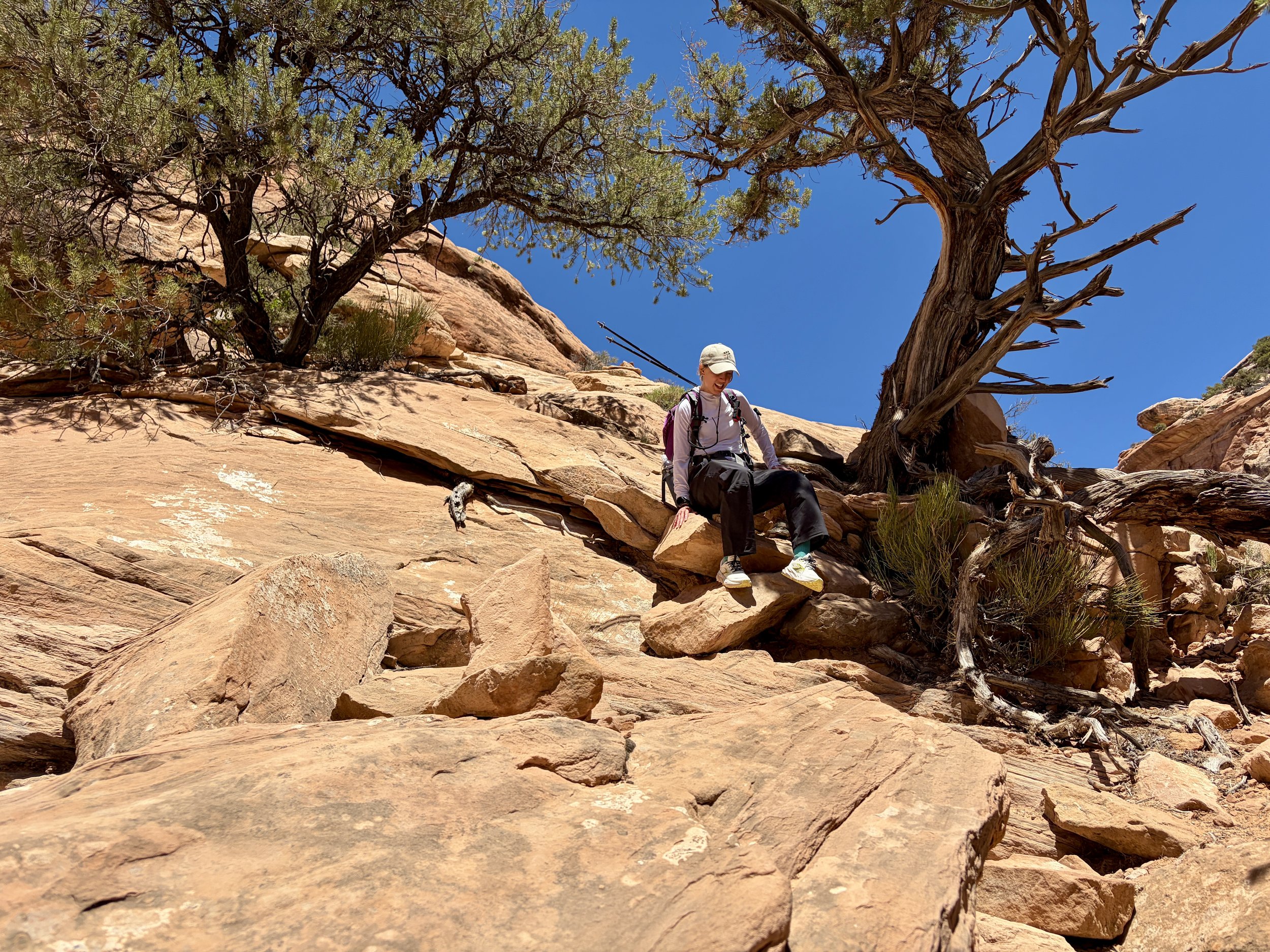
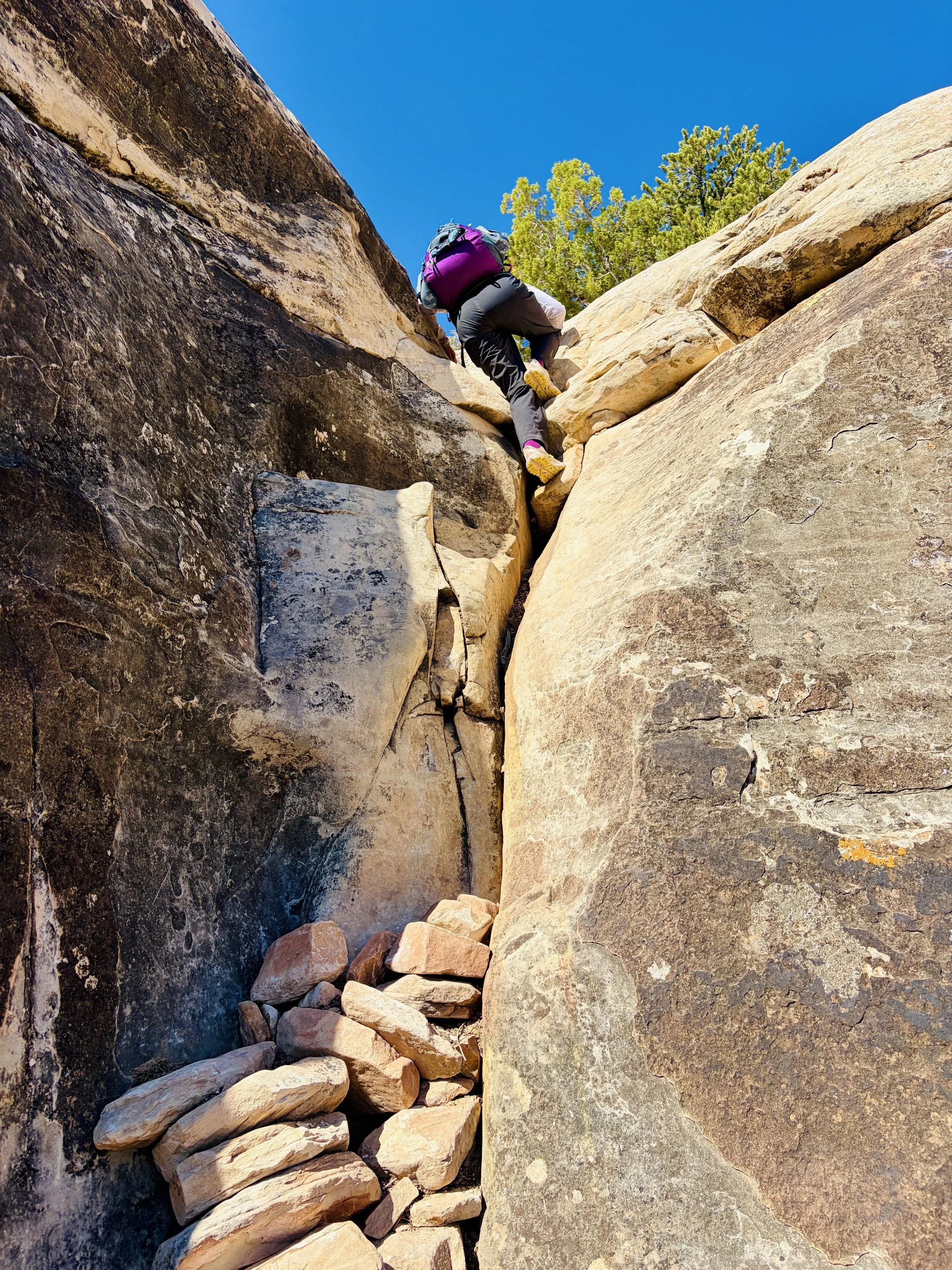
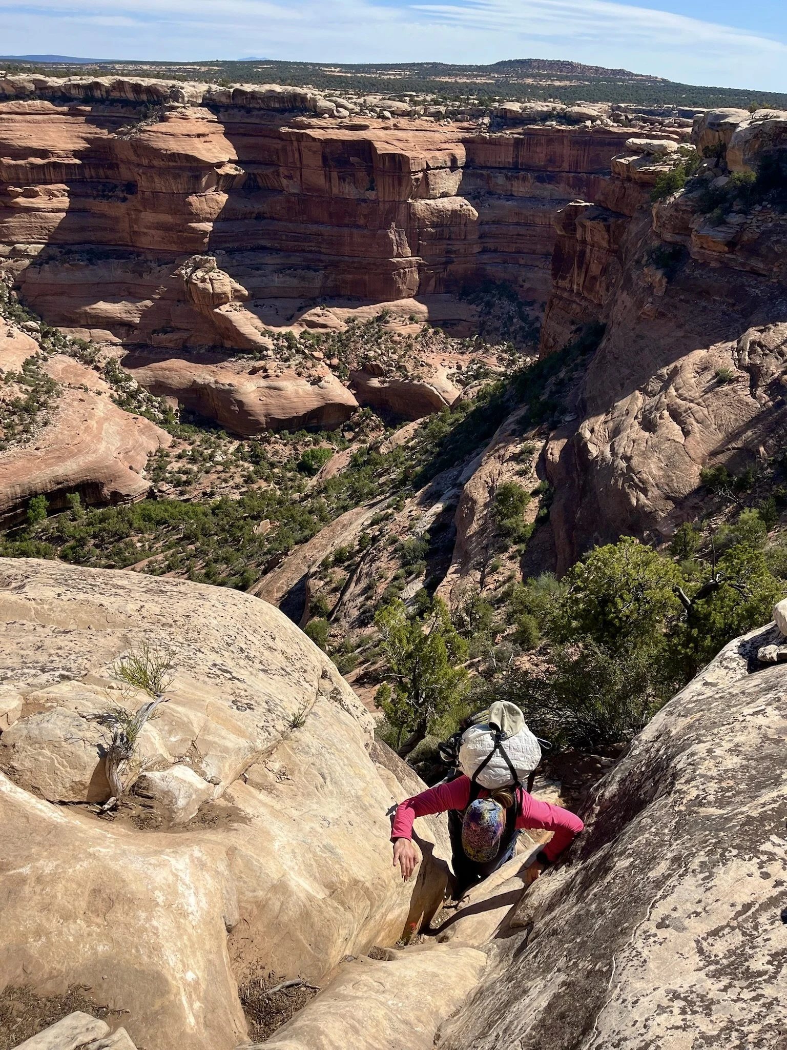
The following morning we woke up early so that we could beat the heat that day as we had to exit the canyon, which would mean 700 ft of elevation gain in about 0.3 miles. We knew the exit would have a move through a notch that some people describe as class 4 so we were curious to see what that feature looked like. It was Lauren’s first time wearing a heavy backpacking pack and I’m not sure she had much class 4 scrambling experience so we knew it was going to feel like a bit of an adventure to get out. We left camp and continued hiking upstream until the trail turned left and began the ascent. There were a variety of short class 2 - class 3 moves and a few spots of steep slickrock to navigate. Thankfully, Lauren didn’t hesitate and made it right up everything without issue. At the very top of the canyon, we encountered the class 4 move we were most worried about, which involved climbing up a crack feature. I had some paracord with me that could be used to haul packs if needed. Turns out I had just been carrying extra weight because Lauren made it up with her heavy pack on and made it look easy.
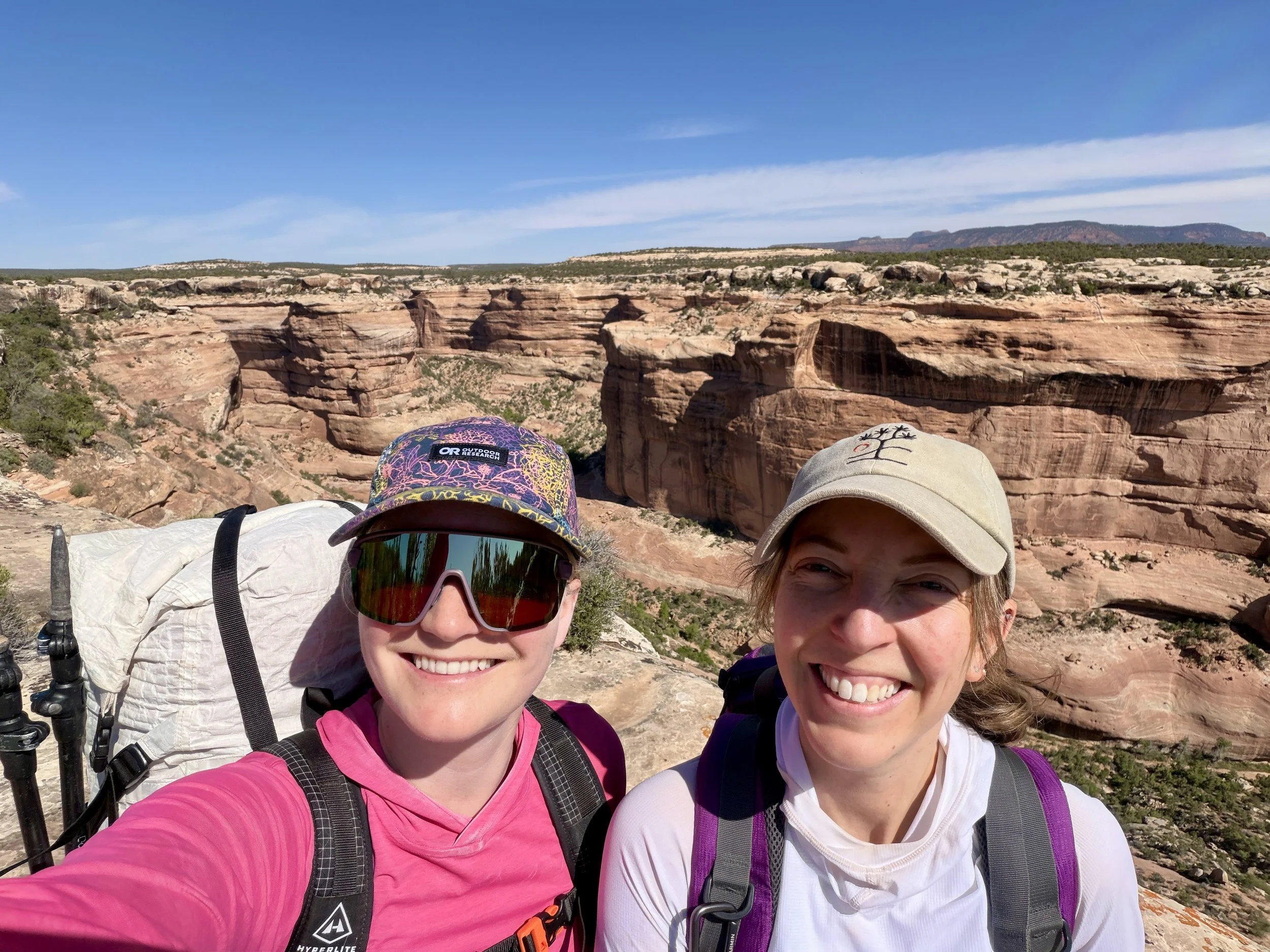
Once on the canyon rim, we took a few moments to look back at where we came from and celebrated a great trip. We had less than 2 miles of easy walking on the top of the mesa left to get back to the car. Twenty minutes later, we were back at my car, and Lauren was ready to grab a hot meal in town. I was too. It was a great trip - plenty of beautiful scenery and came with the important lesson that nothing ever goes completely according to plan on a backpacking trip! I think my desert backpacking season is over for now, but I’m looking forward to hopefully a few more this fall.
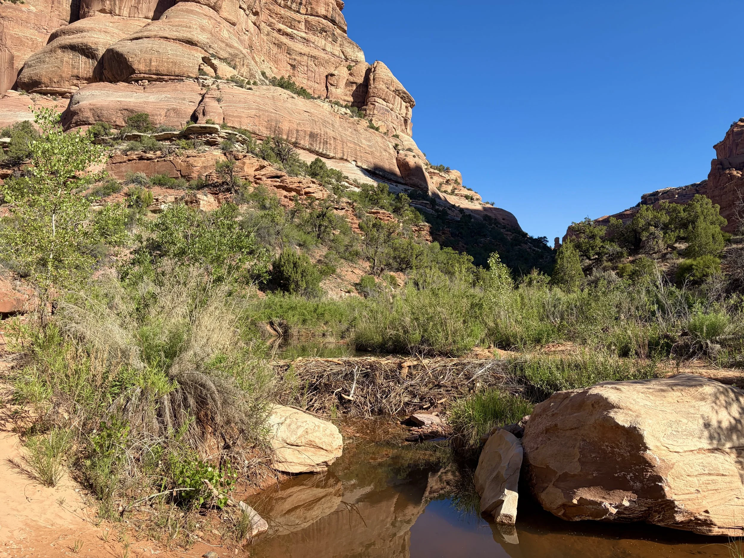
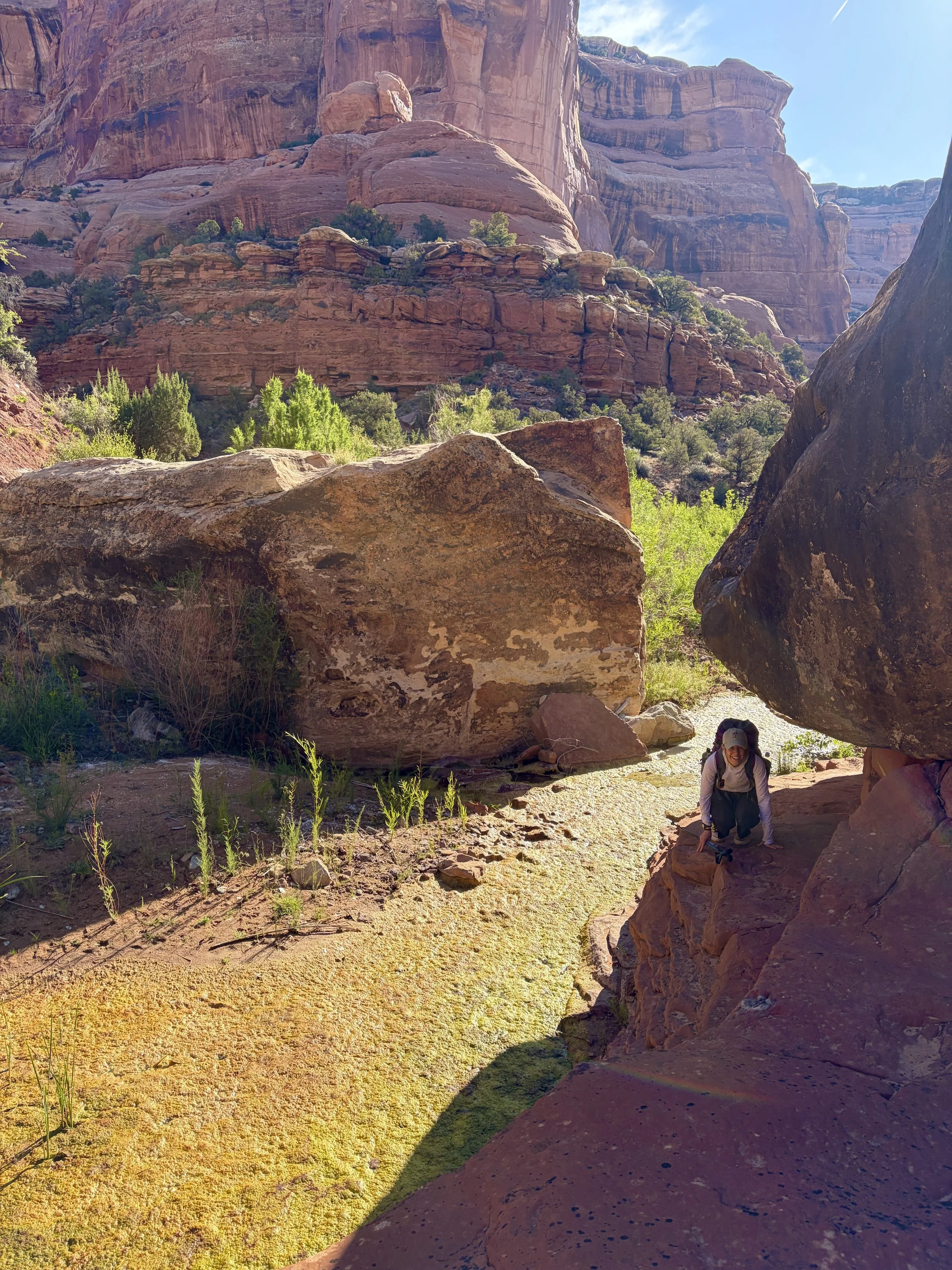
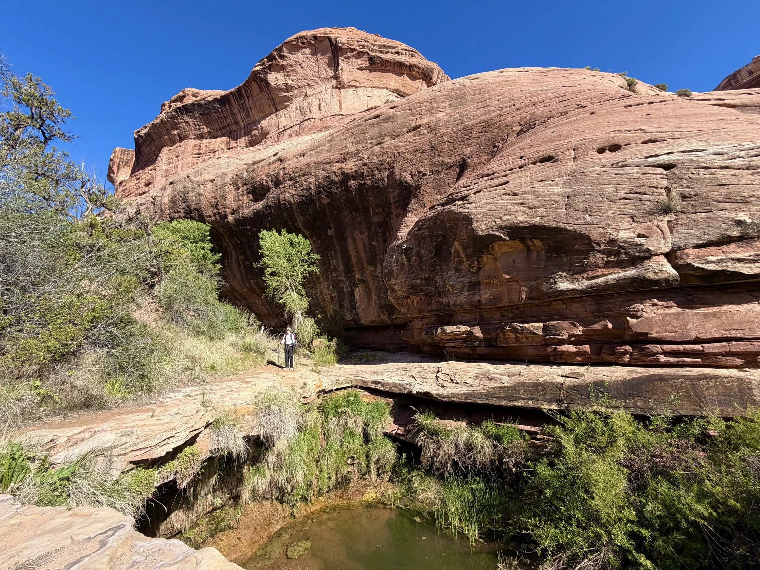
Day 1 Stats: 5.1 miles, +90 ft of elevation gain, -1200 ft of elevation loss
Day 2 Stats: 8.6 miles, +485 ft of elevation gain, -185 ft of elevation loss
Day 3 Stats: 3.2 miles, +900 ft of elevation gain, -90 ft of elevation loss
Total Stats: 16.9 miles, +1475 ft of elevation gain, -1475 ft of elevation loss
Disclaimer: This website uses affiliate links, meaning: at no additional cost to you, I earn a small commission if you click-through and make a purchase. As an Amazon Associate I earn from qualifying purchases. I only feature products that I believe in and use myself. Your support means the world to me and allows me to host this website. Thank you!
Gear List
Map: Grand Gulch, Cedar Mesa Plateau Map
Compass: SUUNTO M-3 Compass
Emergency Communication Device: Garmin inReach Mini 2 *requires a subscription
First Aid Kit: Adventure Medical Kit *I have added items to this kit and would recommend tailoring a medical kit to your needs
Lighter: BIC Lighter
Emergency Blanket: SOL Emergency Blanket
Shell/Rain Jacket: REI Co-op XeroDry GTX Jacket
Headlamp: Black Diamond Equipment Spot
Multi Tool: Leatherman Squirt PS4 Multi Tool
Tent: Big Agnes Copper Spur UL
Tent Footprint: Big Agnes Footprint for Copper Spur UL
Backpack: Hyperlite Mountain Gear Junction 55
Water Filter: Sawyer Squeeze Water Filtration System
Stove: MSR PocketRocket 2 Ultralight Stove
Fuel: Jetboil Jetpower Fuel
Kettle: MSR Titan Ultralight Titanium Backpacking Kettle
Water Bottle: Platypus DuoLock SoftBottle Flexible Water Bottle
Spork: Sea to Summit Frontier Ultralight Long Handle Spork
WAG bags for human waste: Cleanwaste WAG bags
Sleeping Pad: Sea to Summit Ether Light XT
Pillow: Sea to Summit Aeros Premium Inflatable Travel Pillow
Sleeping Bag: Western Mountaineering Ultralite 20 Degree Sleeping Bag
Shirt: Patagonia Capilene Cool Daily Hoodie
Pants: Black Diamond Womens Alpine Light Pants
Socks: Darn Tough Hiker Micro Crew Midweight Sock with Cushion
Underwear: Smartwool Intraknit Hipster Bikini
Sunglasses: Smith Lowdown Slim 2
Cap: Coal 5 Panel Cap
Toothbrush: GUM Travel Toothbrush
Toothpaste: SuperBee Dentos Toothpaste Tablets
Hairbrush: Folding Hairbrush
Body Wipes: Pampers Sensitive Water Based Hypoallergenic and Unscented Baby Wipes
Trekking Poles: REI Co-op Flash Carbon Compact Trekking Poles
Camp shoes: Xero Shoes Women’s Z-trail Ev
Mug/cup: GSI Outdoors Infinity Backpacker Mug
Towel: REI Co-op Multi Towel Mini
Power Bank: Nitecore NB10000 Gen II Ultra-Slim Power Bank
Packing Cubes: Eagle Creek Packing Cubes
Chair: Helinox Chair Zero Ultralight Compact Camping Chair
Mosquito Head Net: Sea to Summit Ultra-Mesh Mosquito Head Net
Knife: LEATHERMAN Skeletool KBX Pocket Multitool with Knife and Bottle Opener
Follow my journey on Instagram