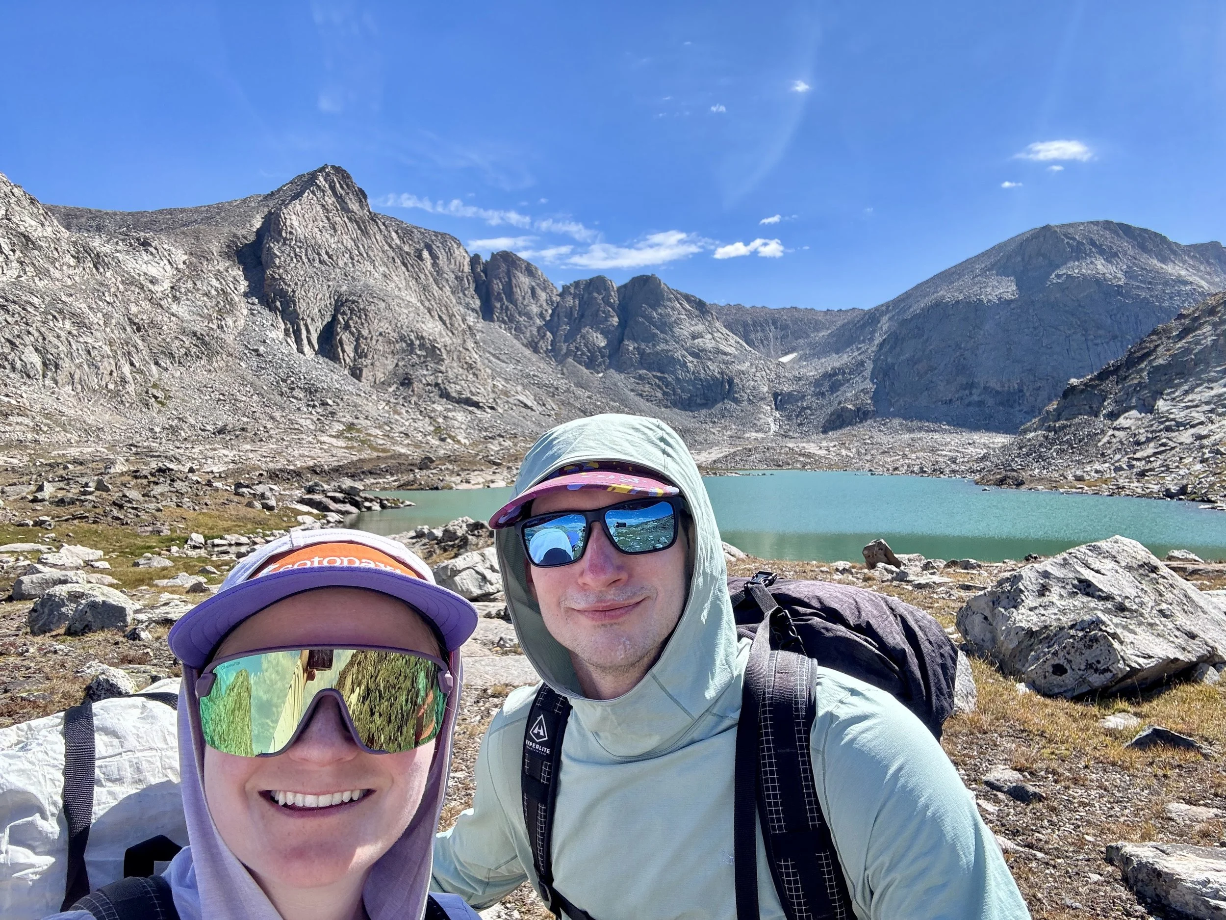
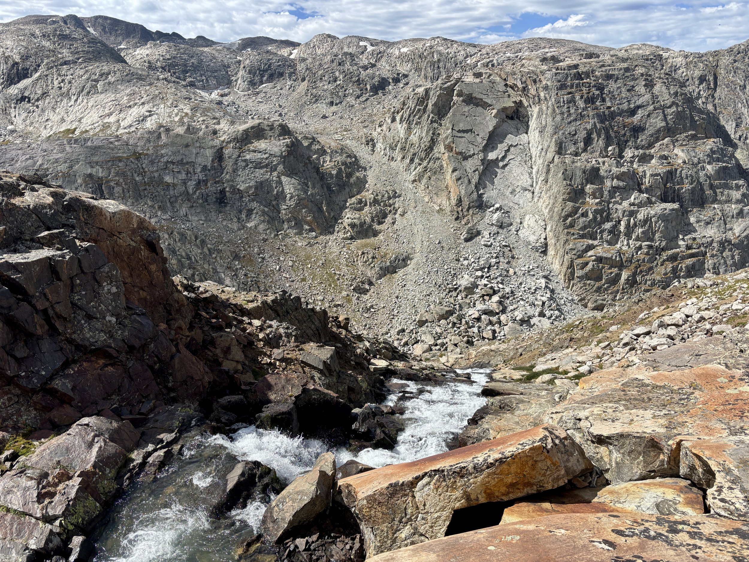
Northern Wind River Range Backpacking Loop, Bridger Wilderness, Pinedale, Wyoming
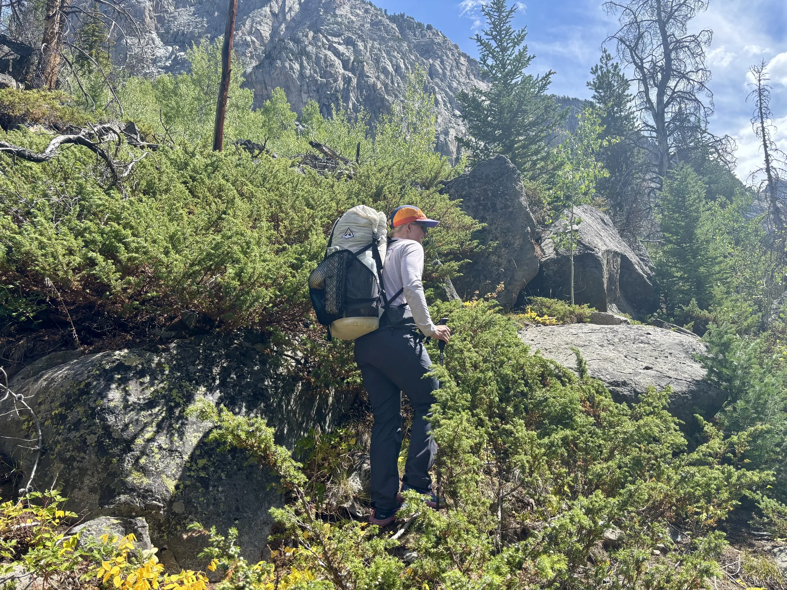
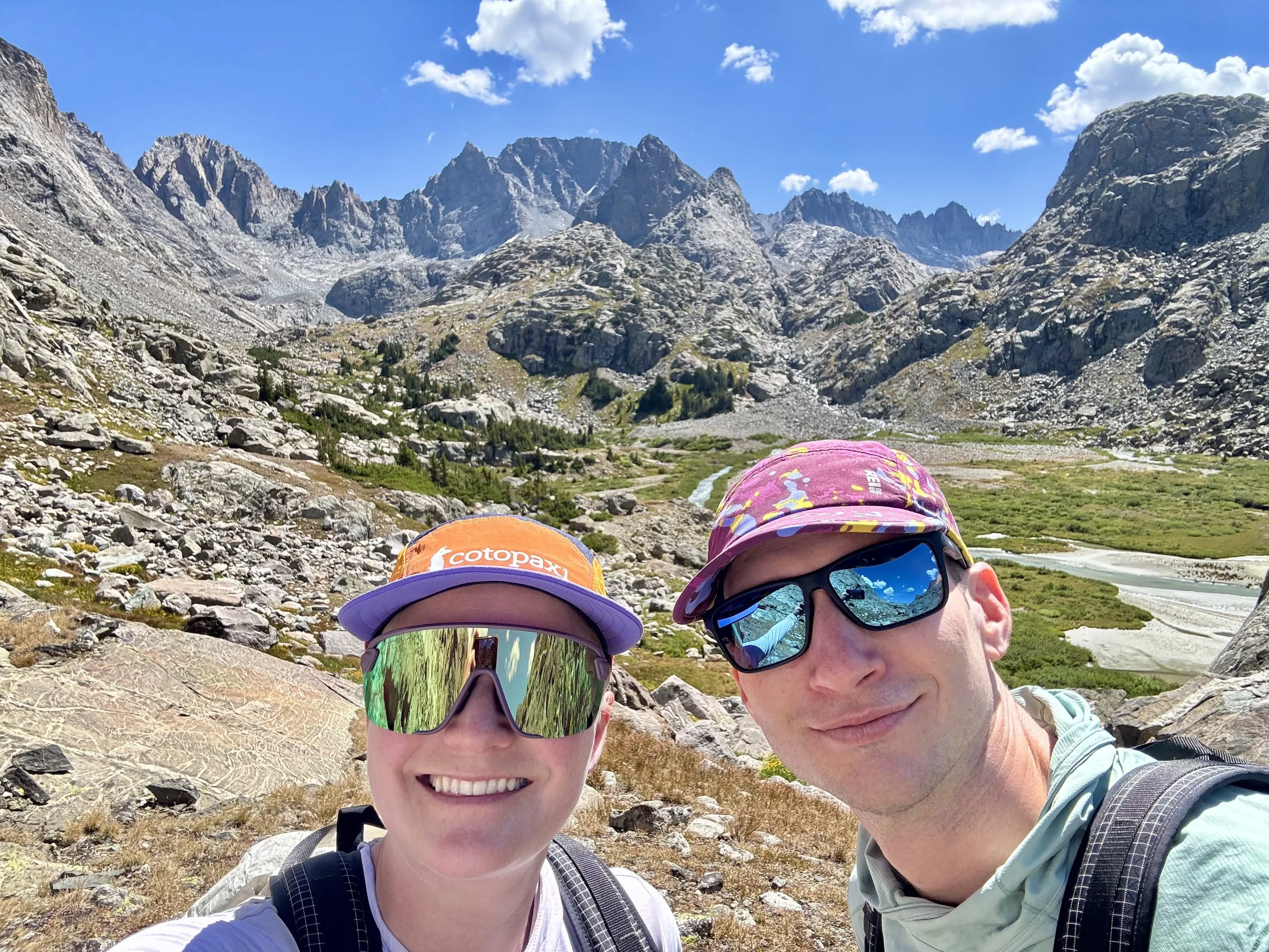
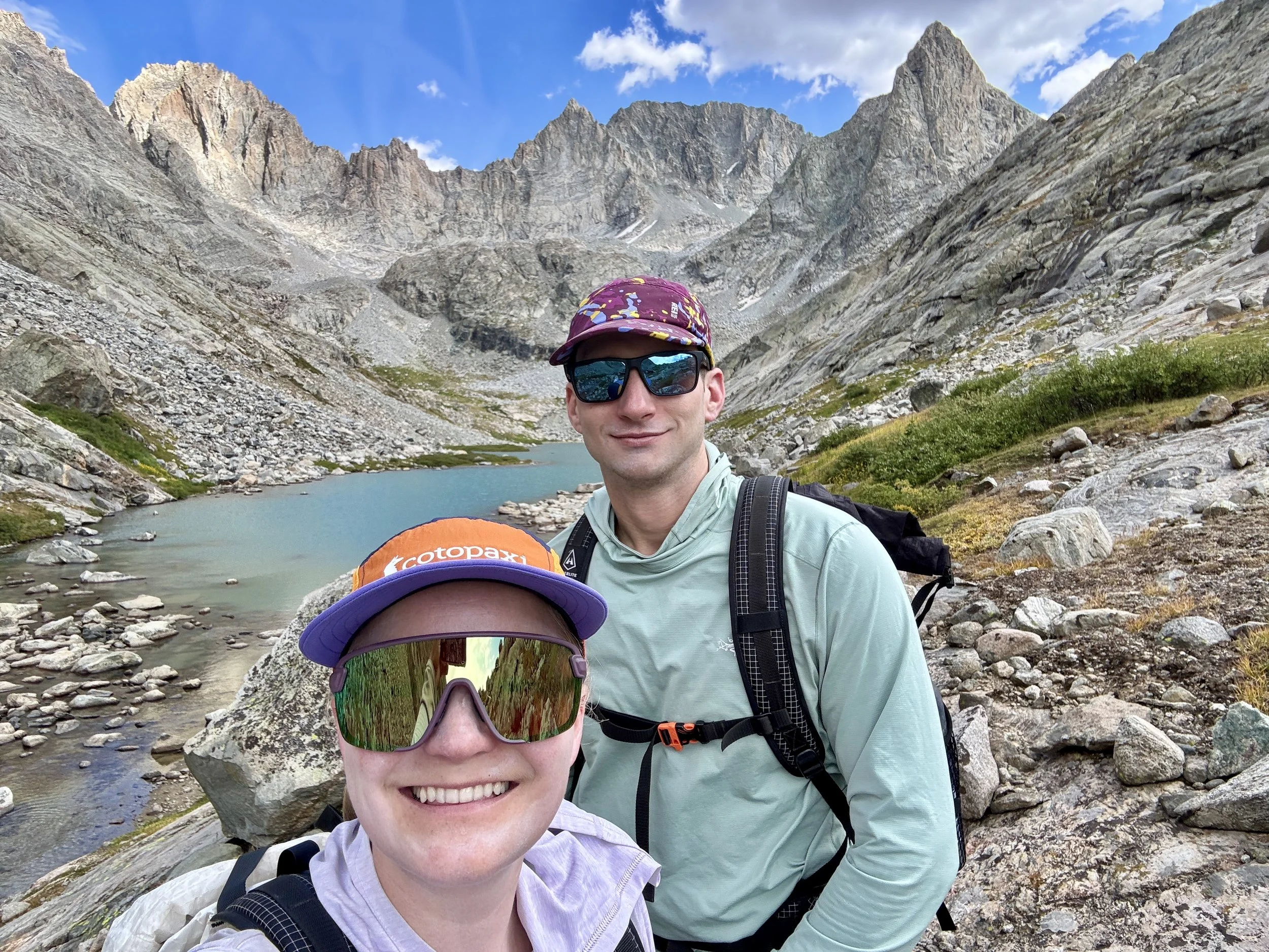
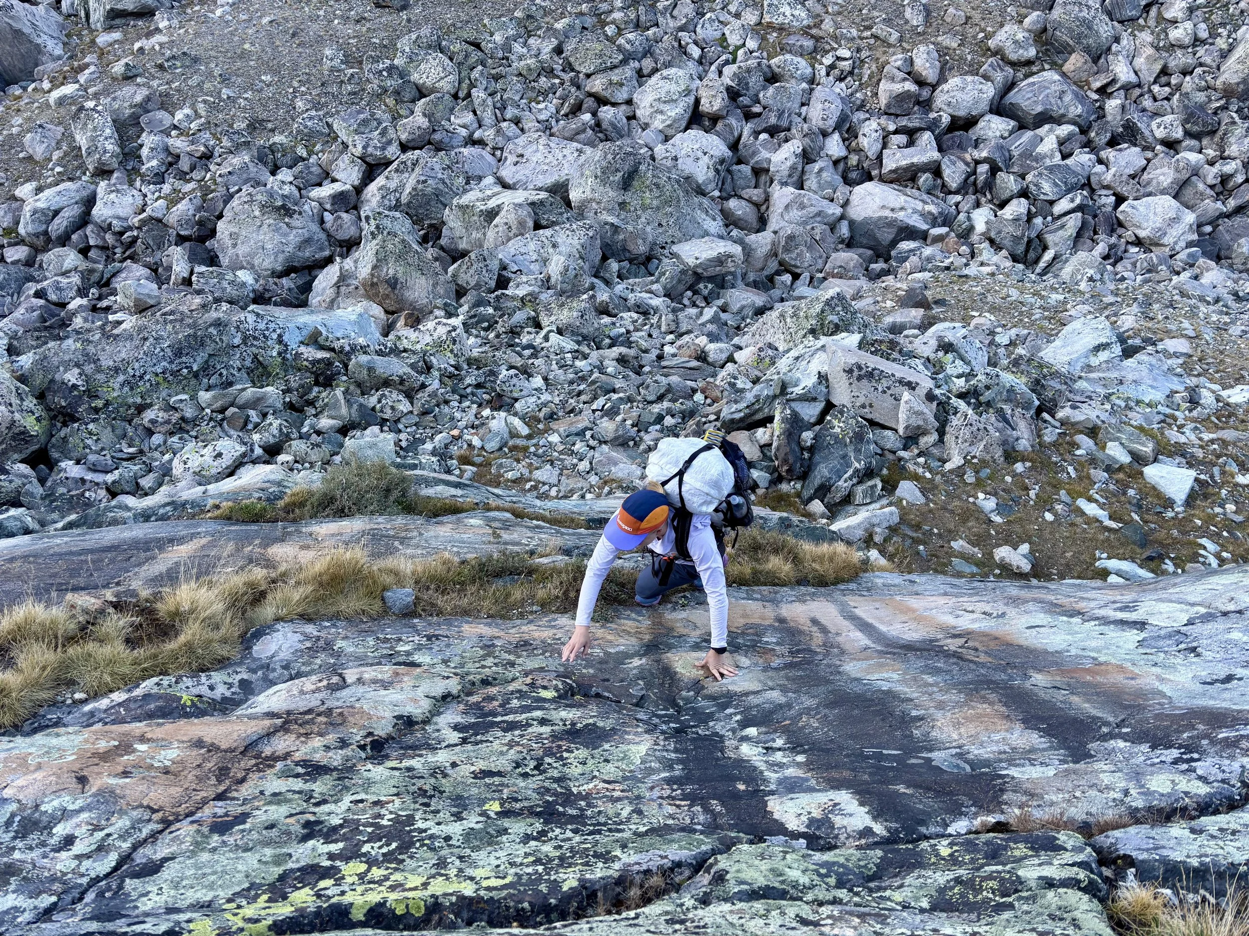
After my Wind River High Route attempt last summer, I was more inspired than ever to plan another trip in the Winds this year. I was most interested in exploring the north end of the range, specifically the northwest corner, an area I hadn’t stepped foot in. I got to planning and determined that a mostly off-trail trip where we’d really get to experience the wildness of the Winds was what was calling to me the most. The route I picked and the one I describe in this post is a trip that only very experienced backpackers should attempt as it requires complex off-trail navigation as well as strong fitness. Mike and I were hiking most days from 7:30am until the early evening with very limited breaks along the way.
Day 1
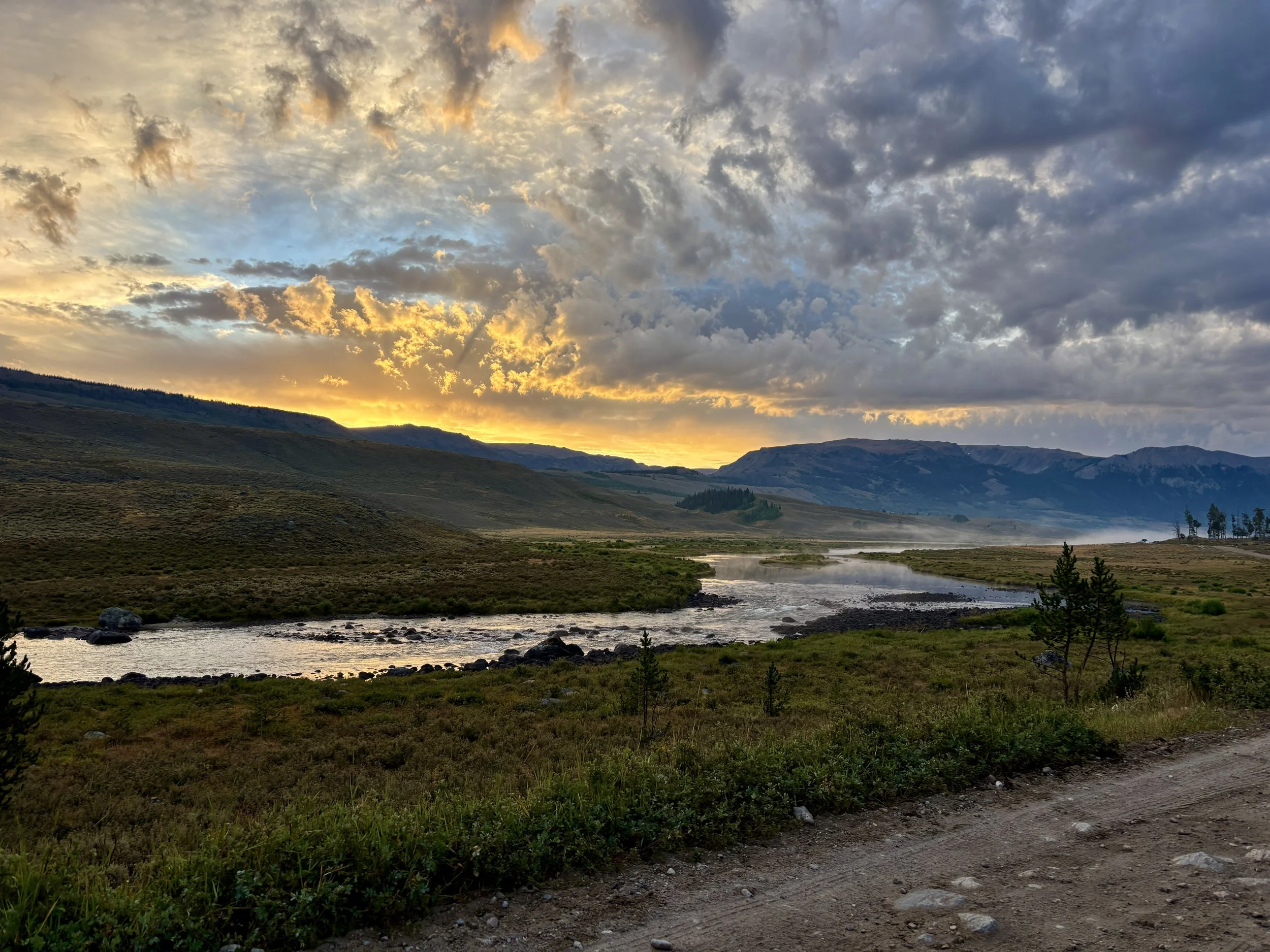
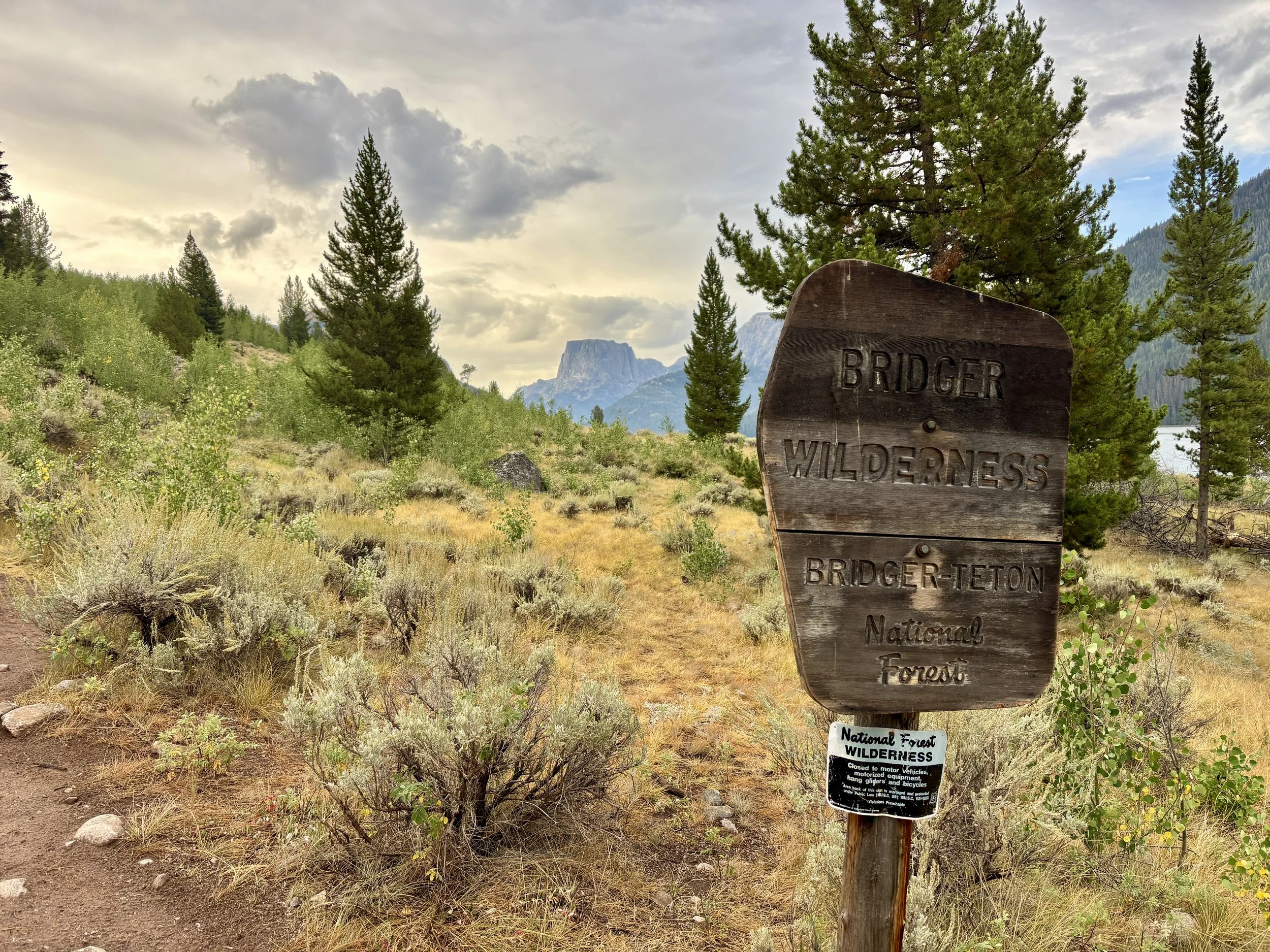
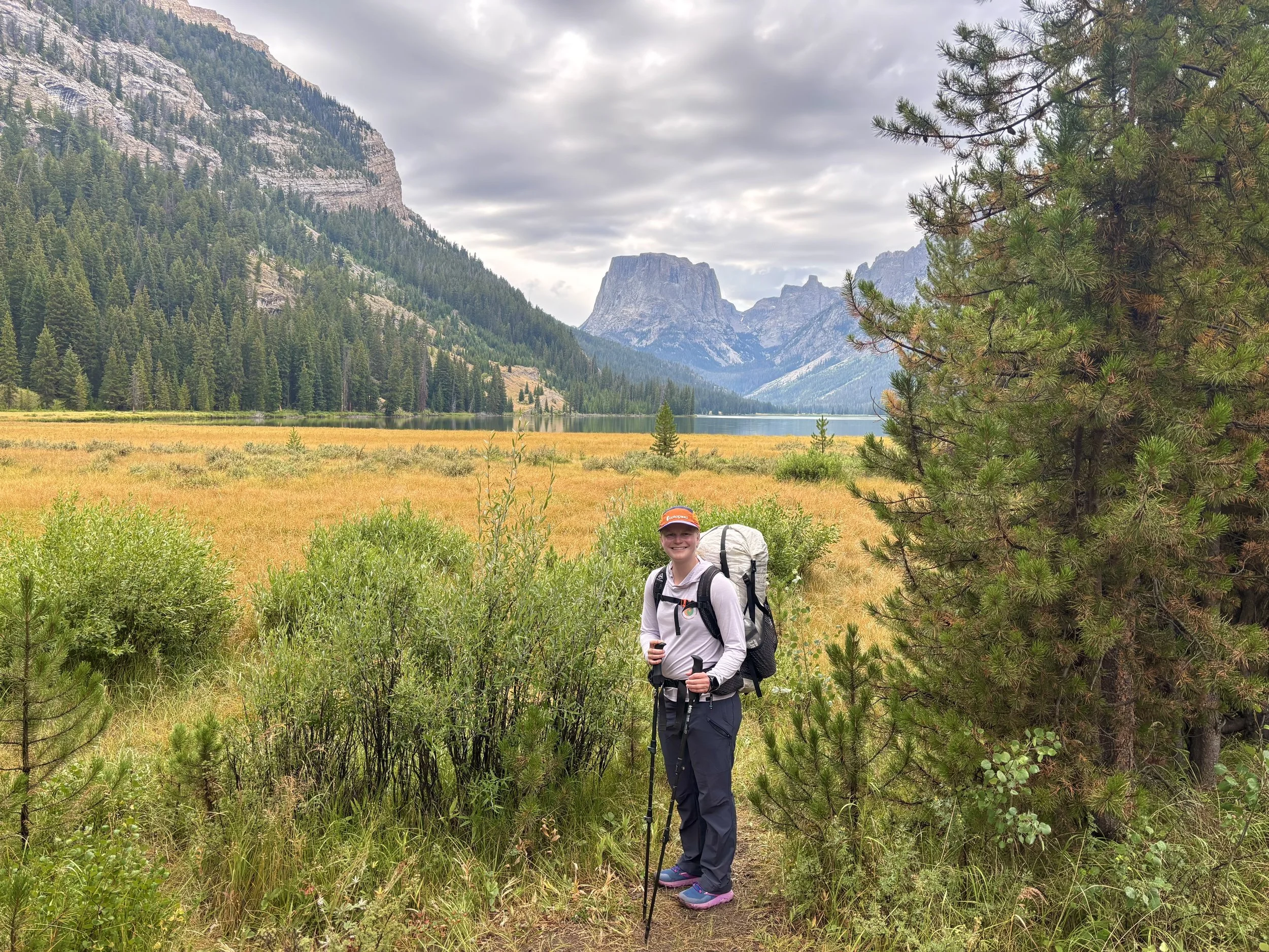
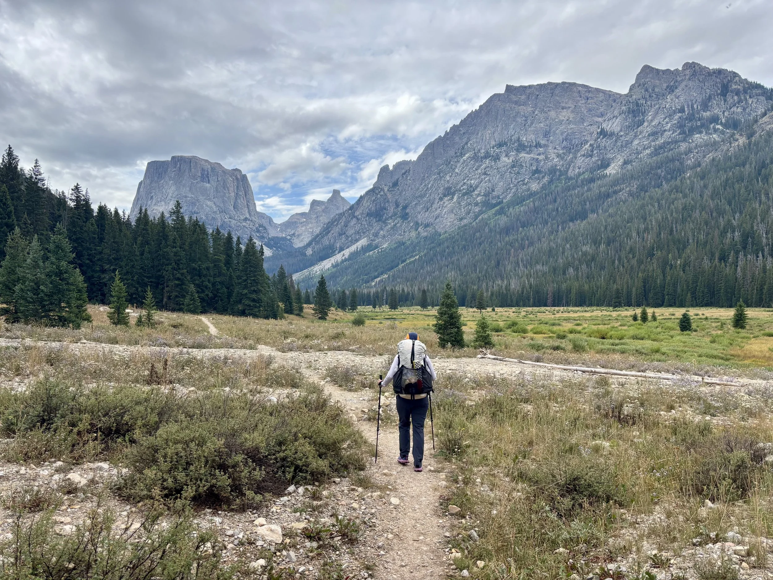
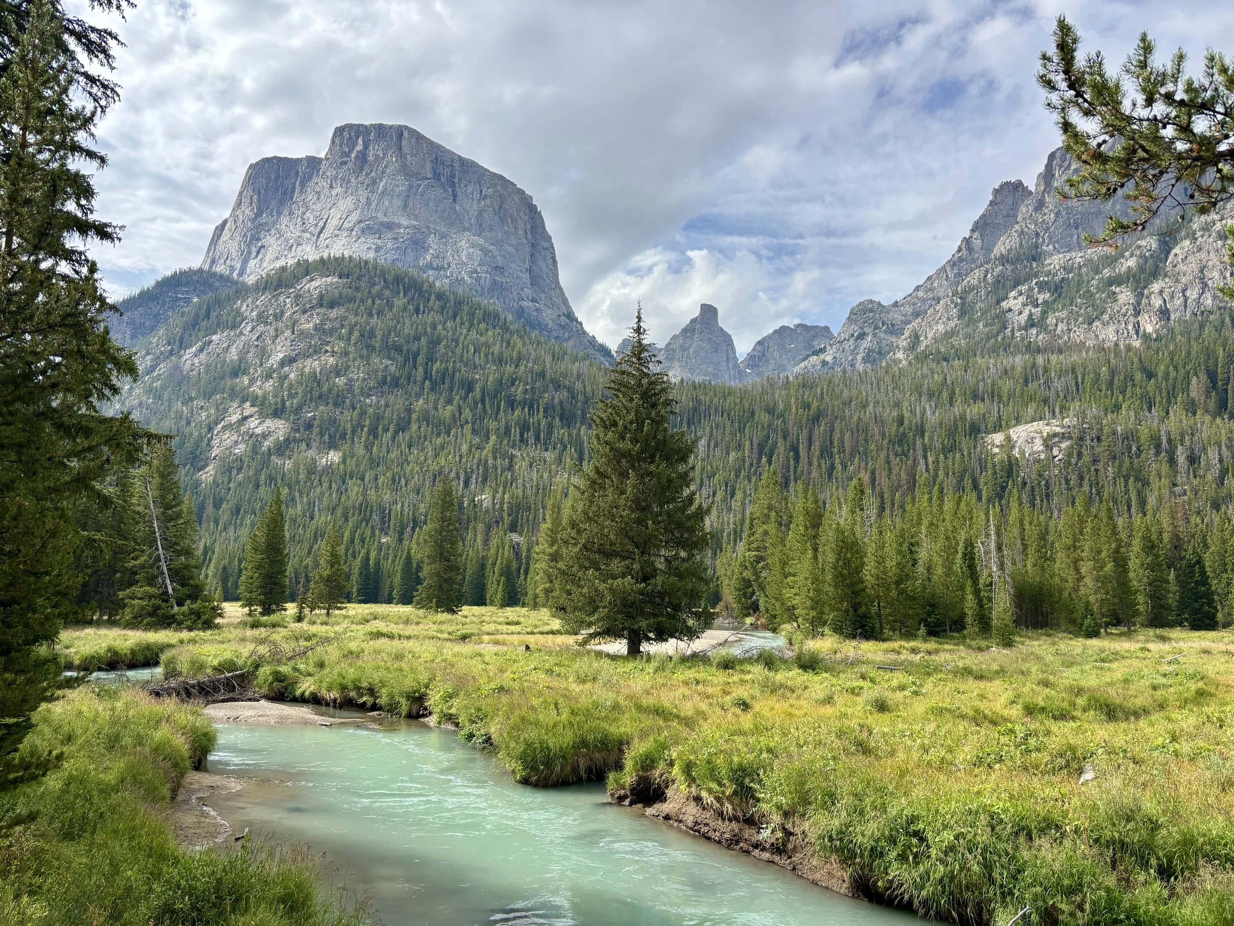
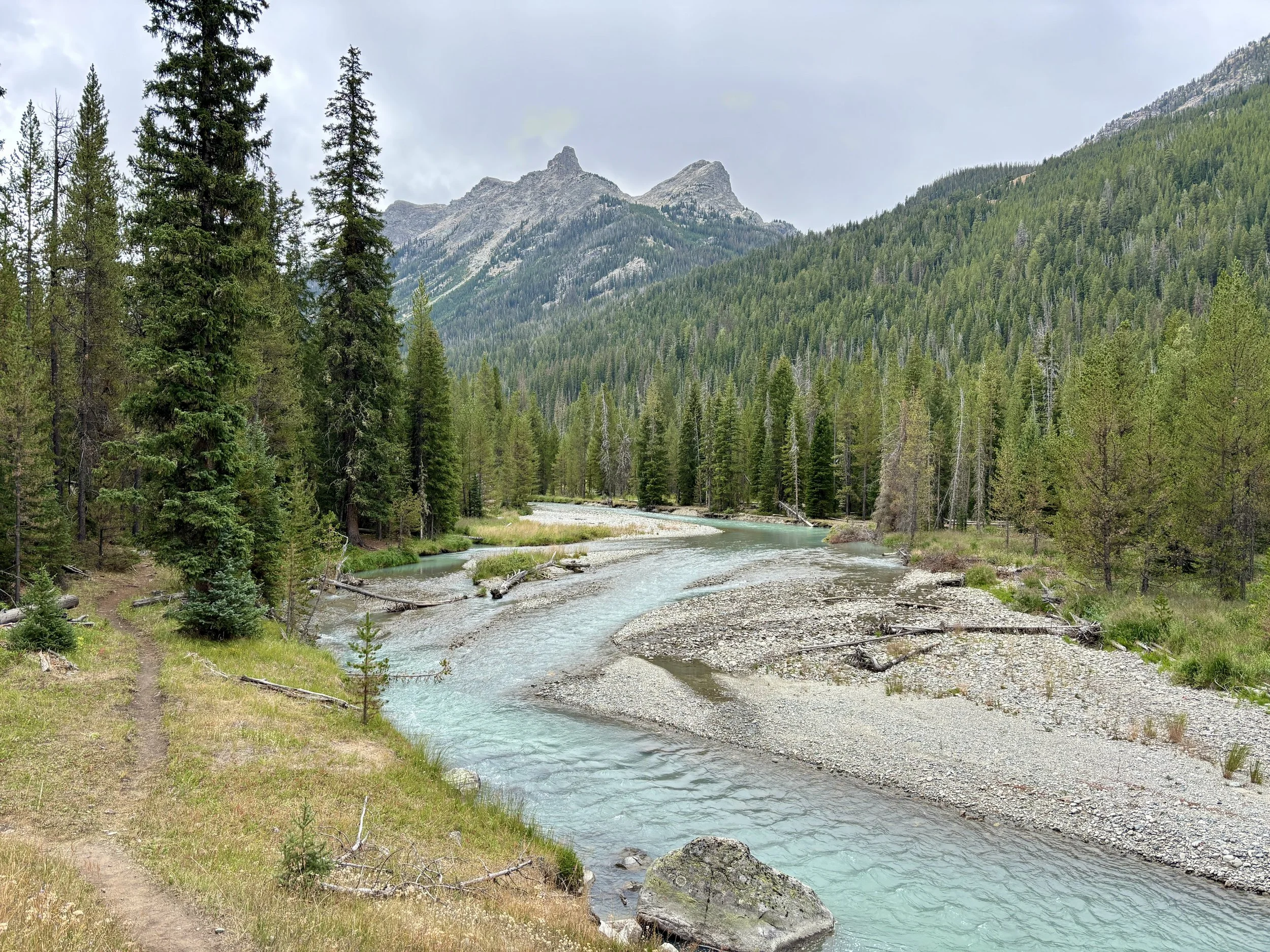
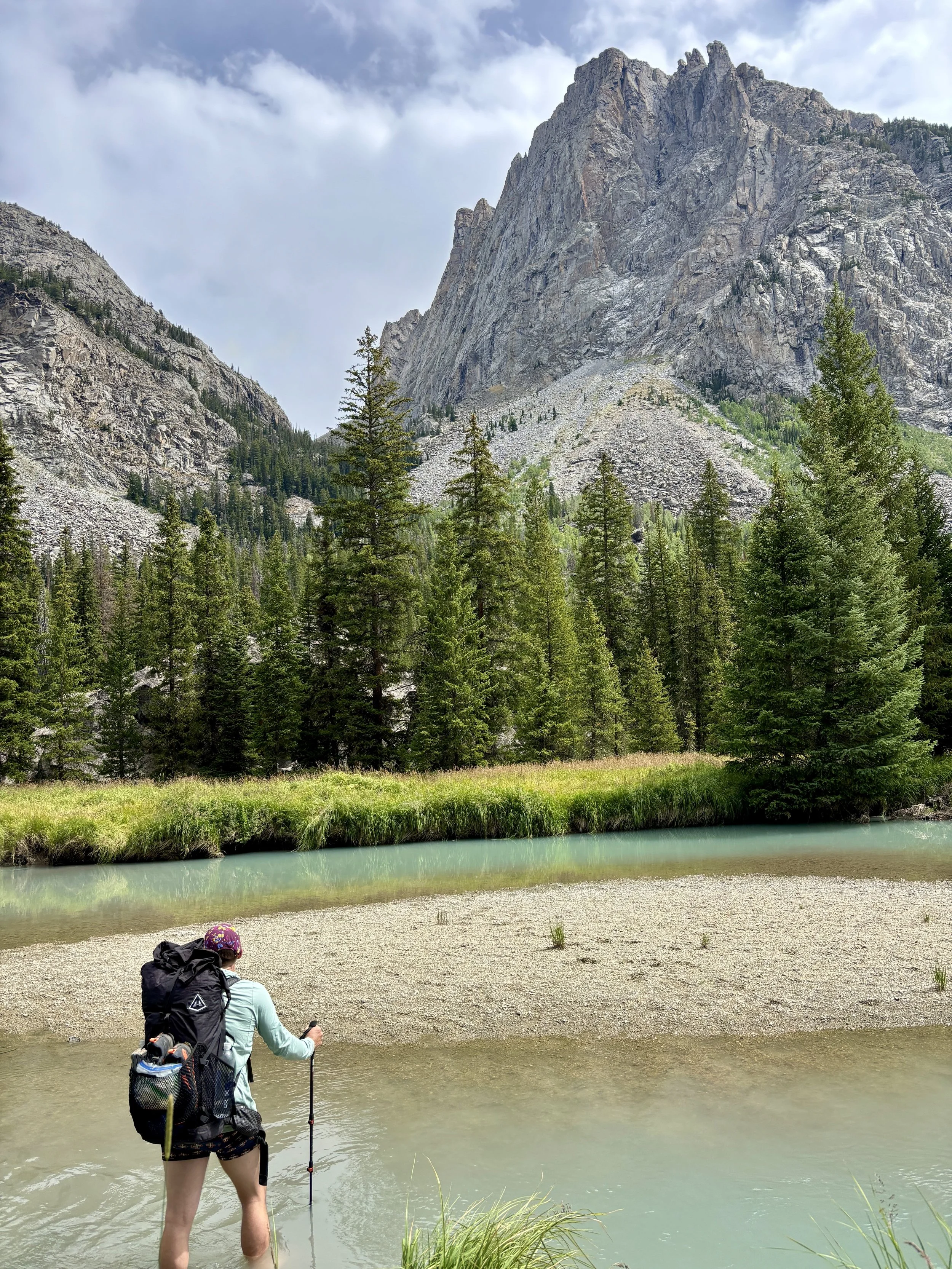
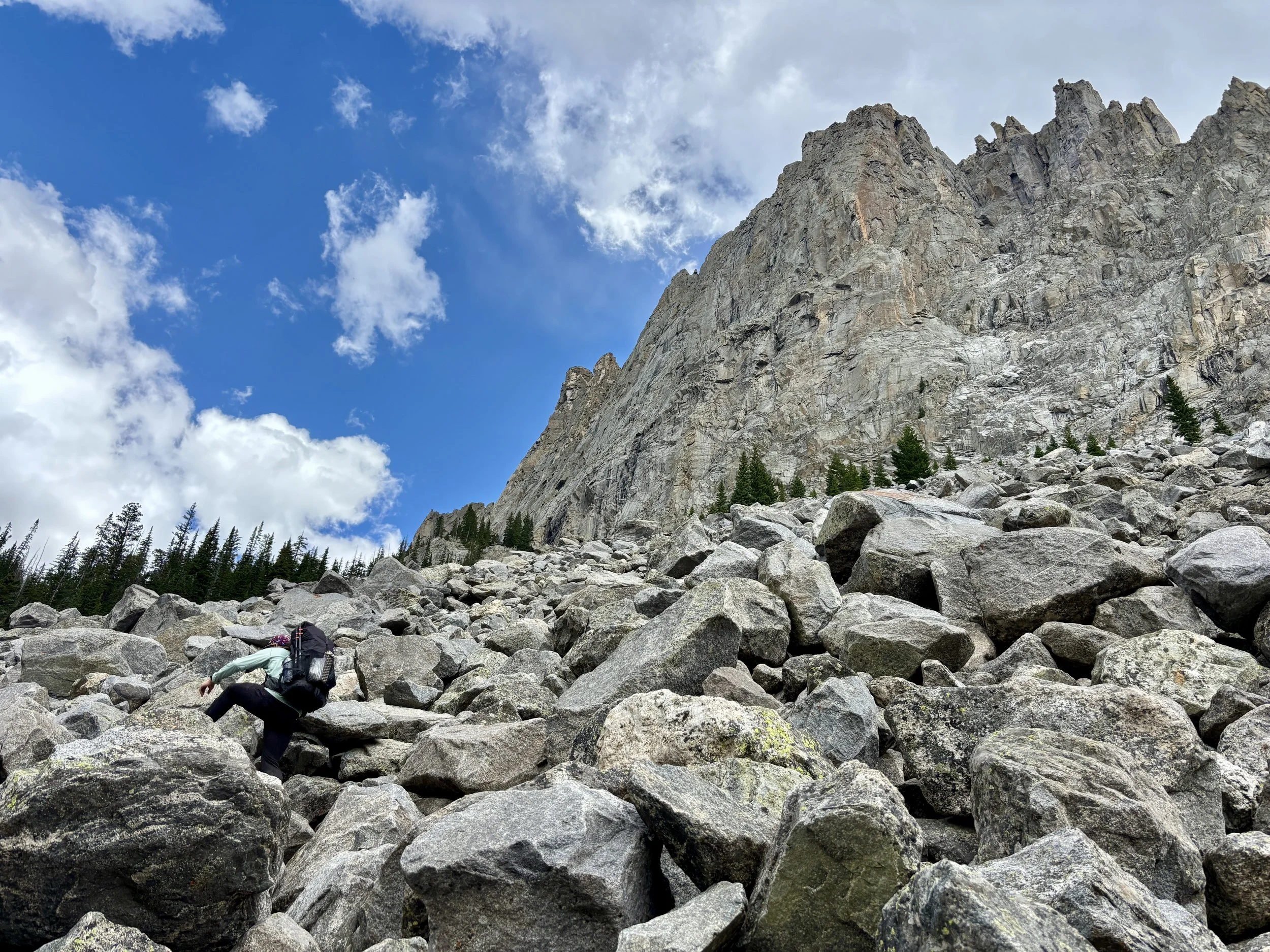
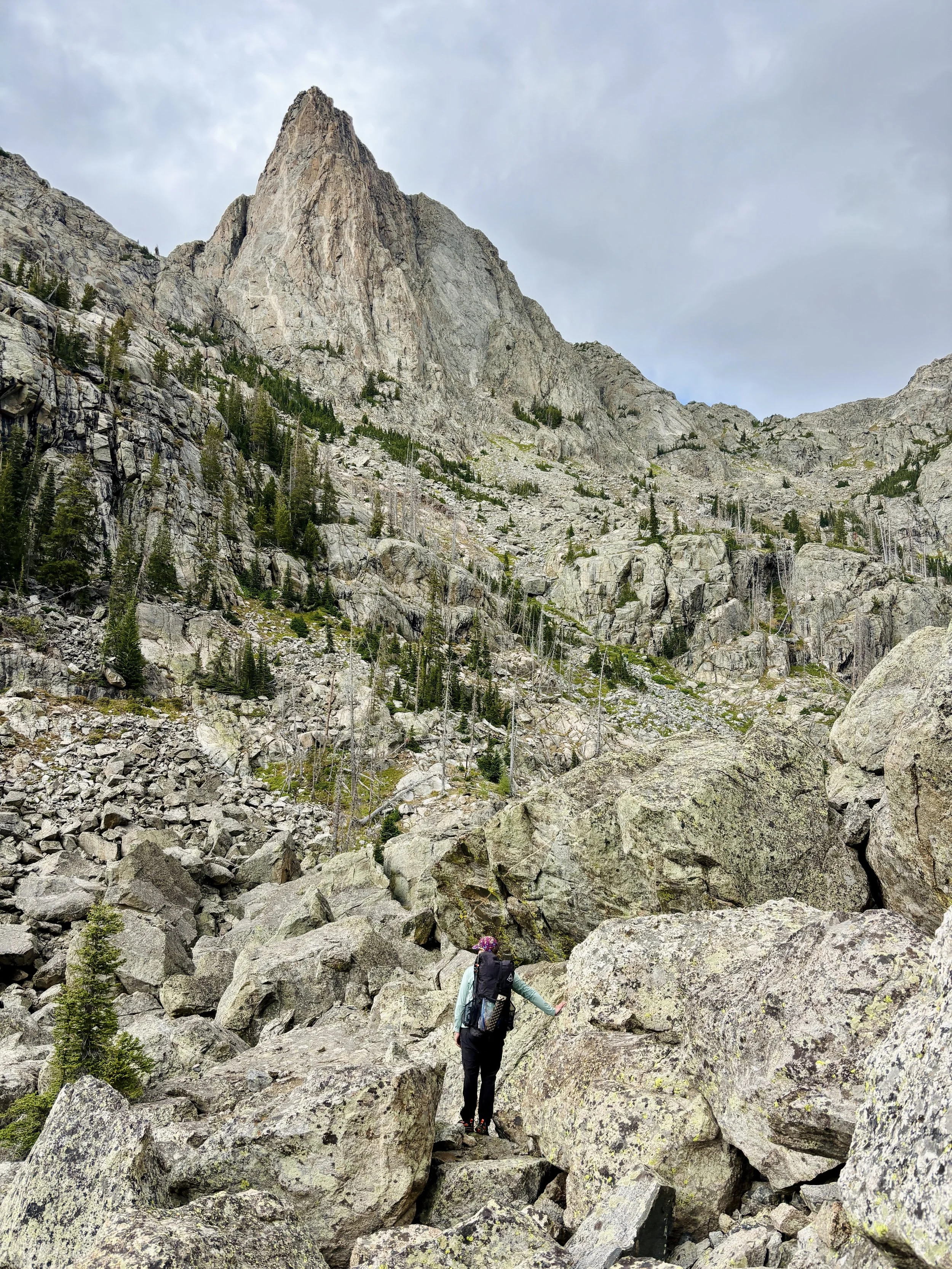
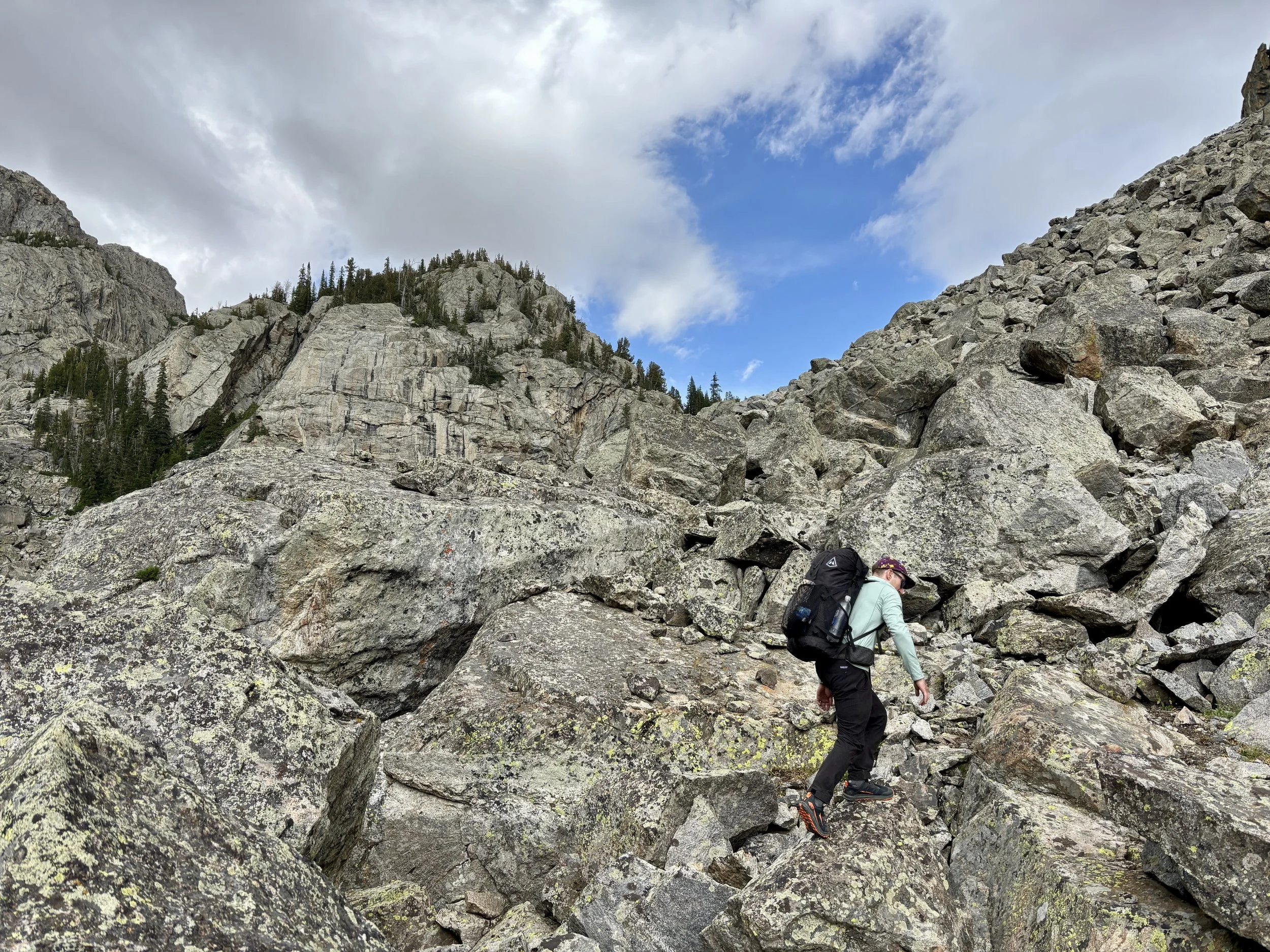
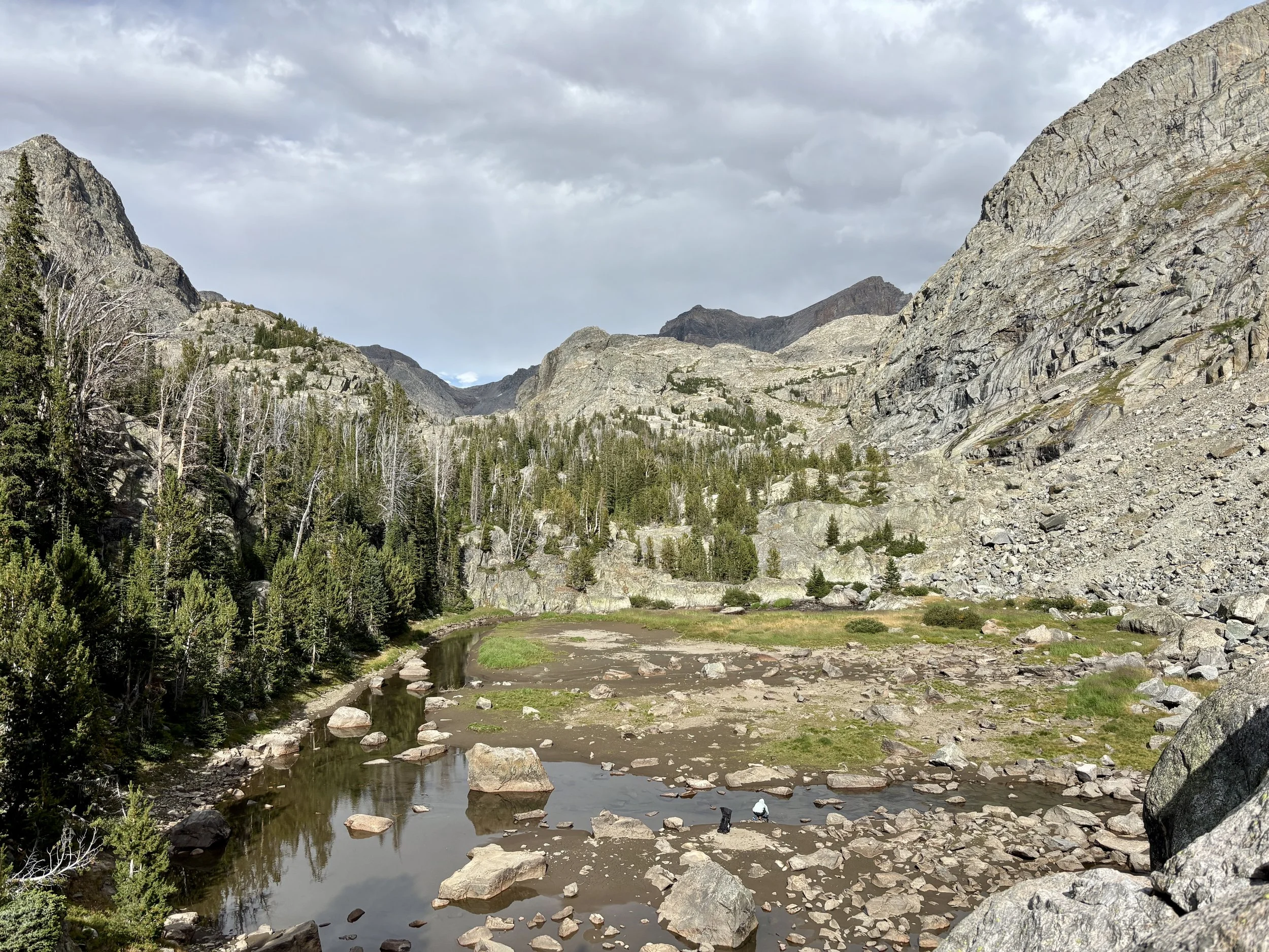
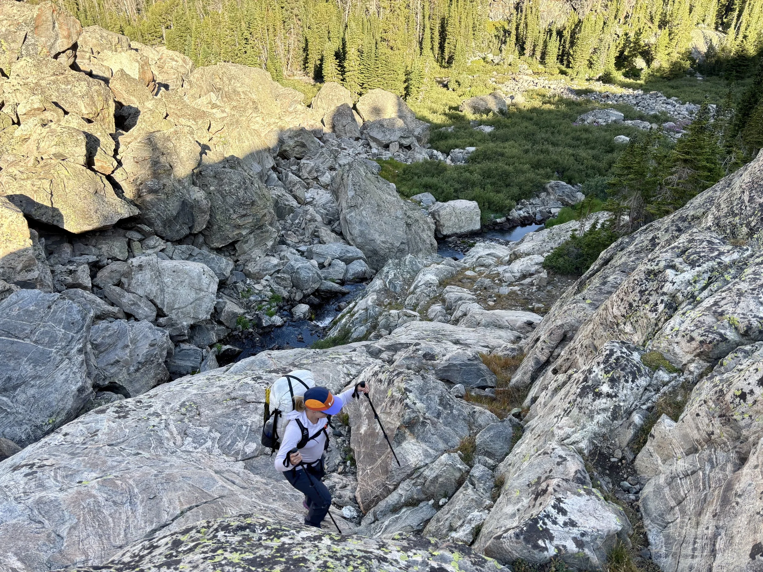
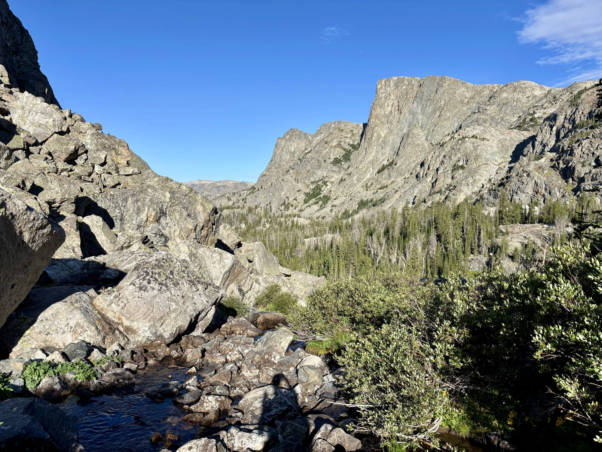
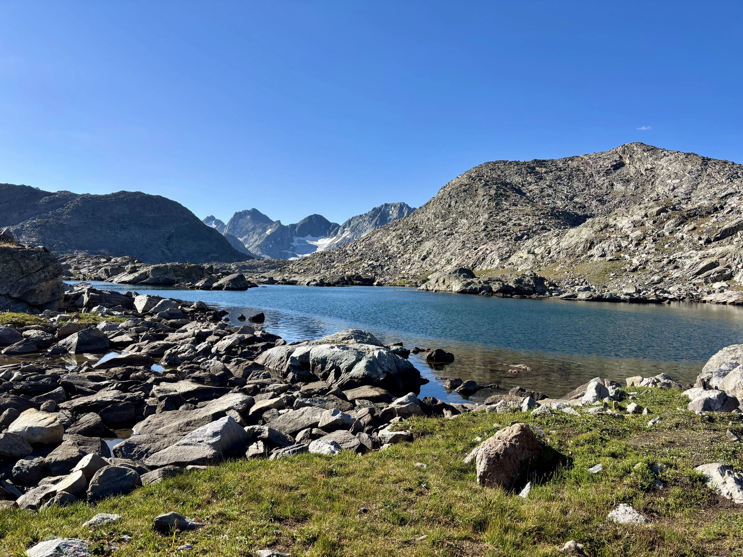
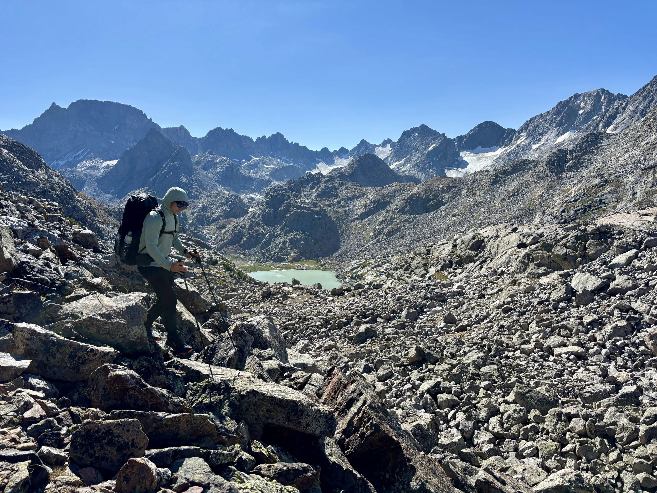
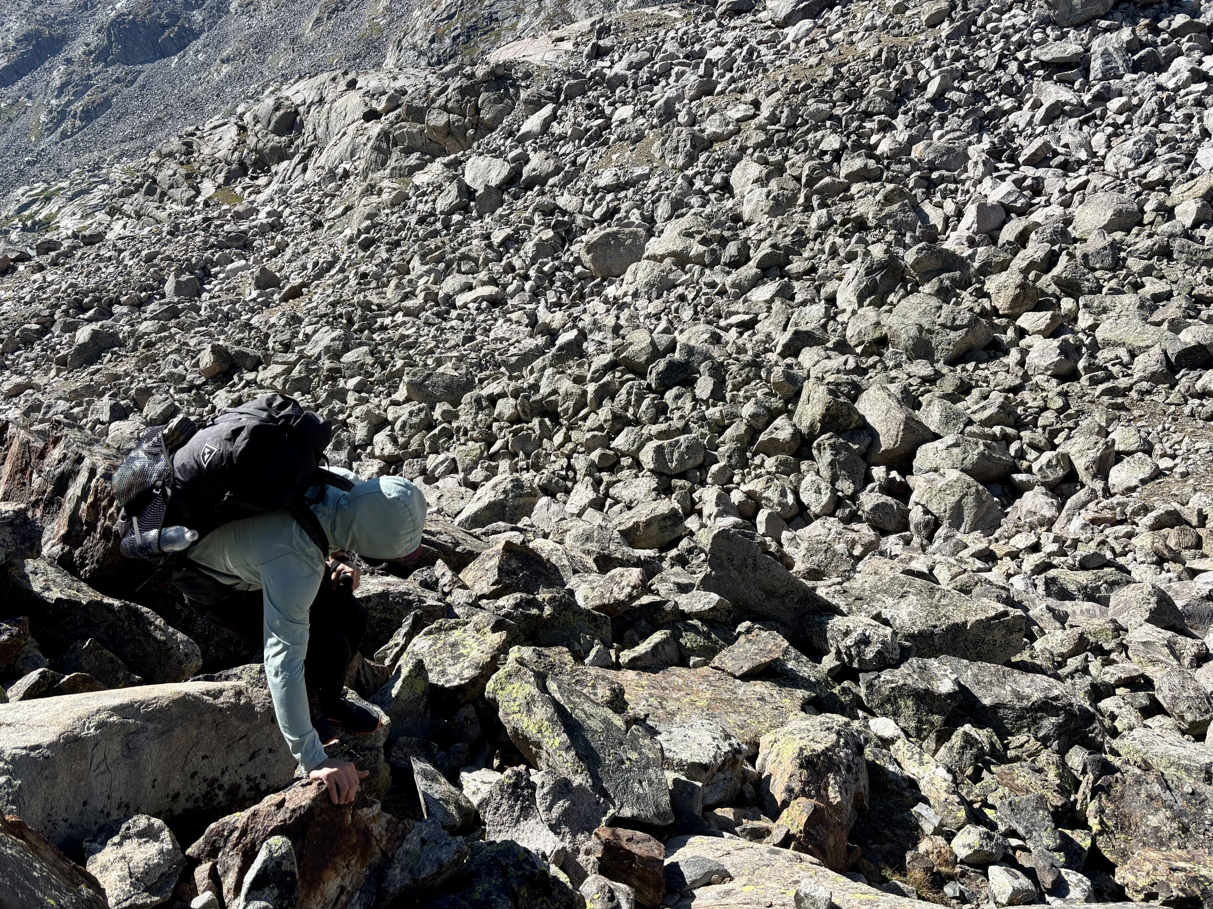
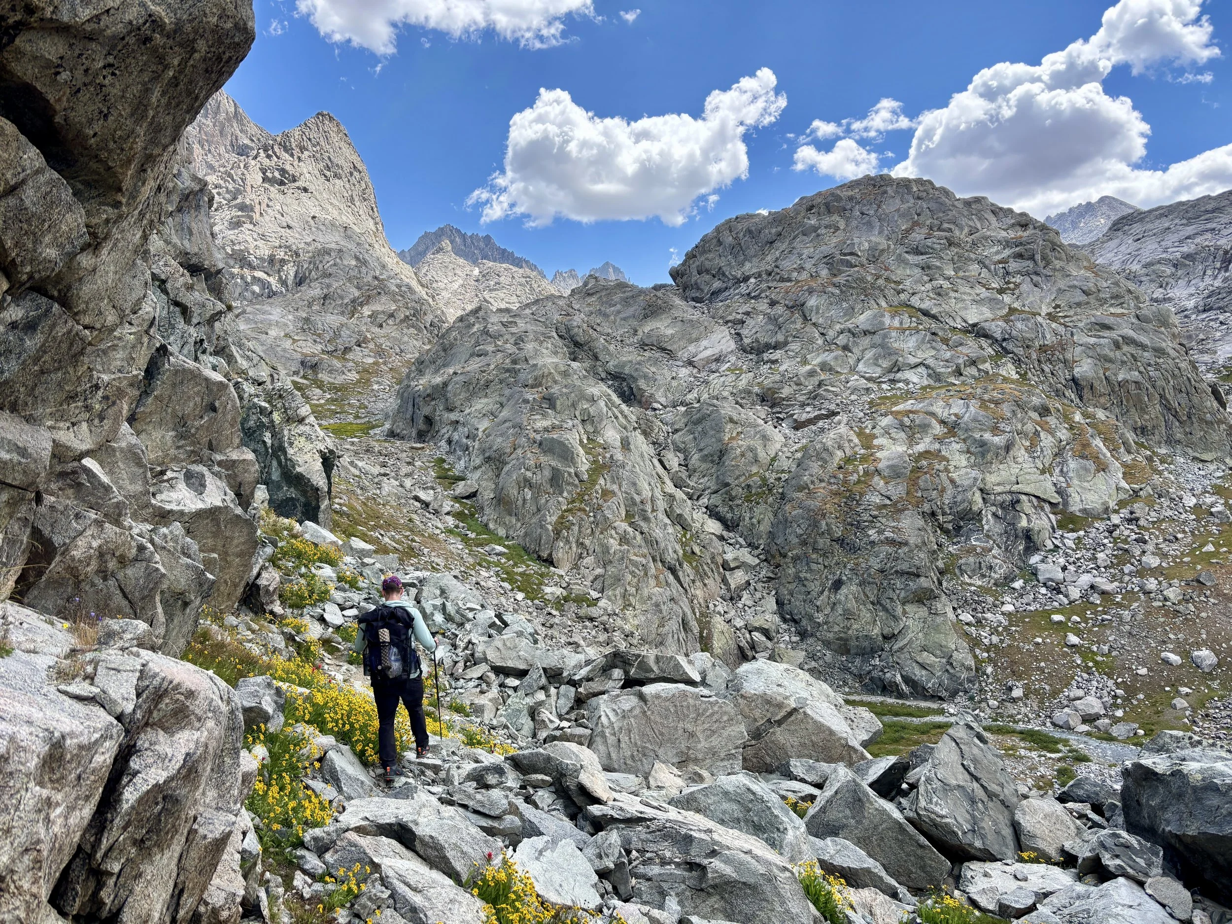
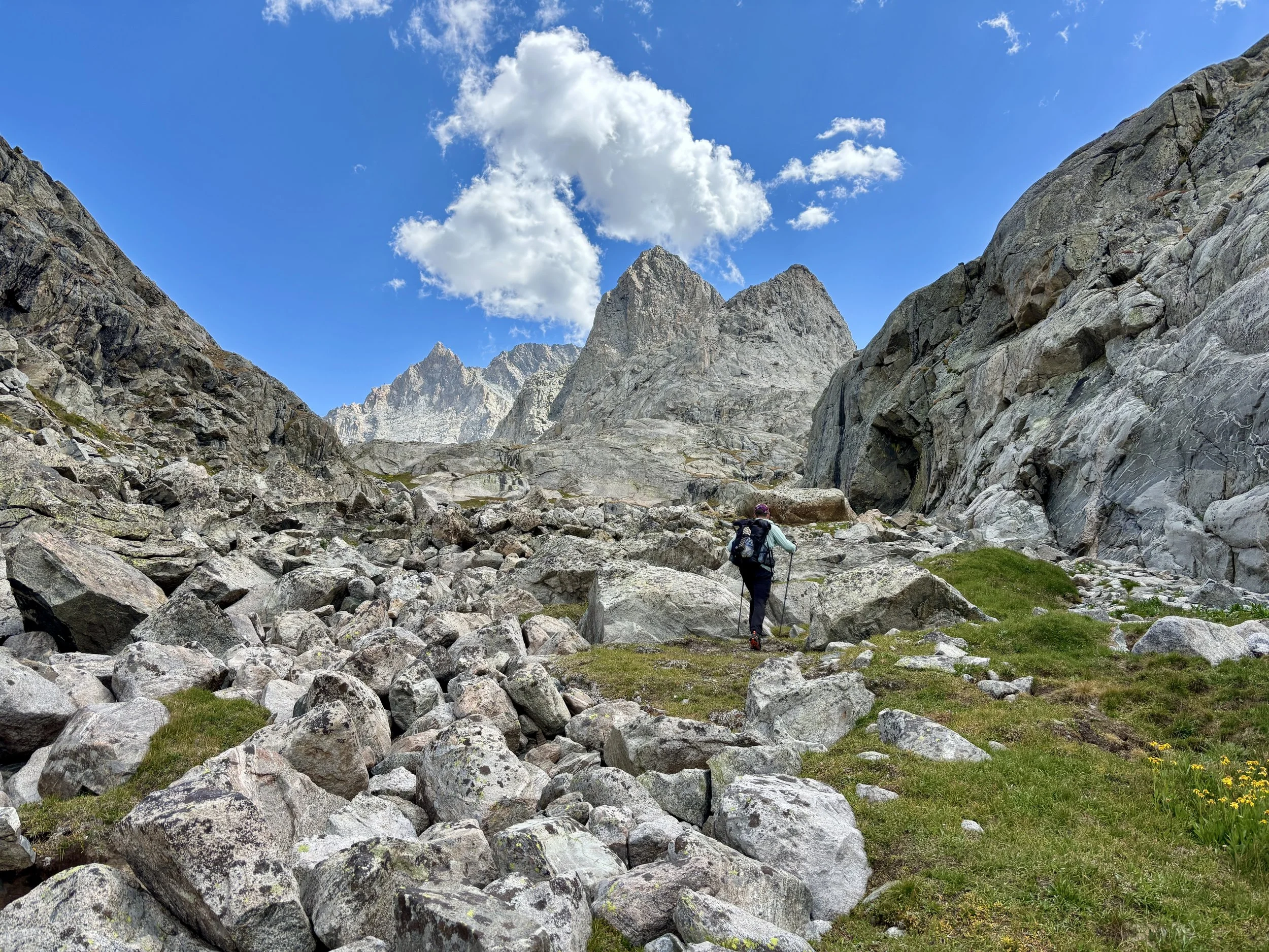
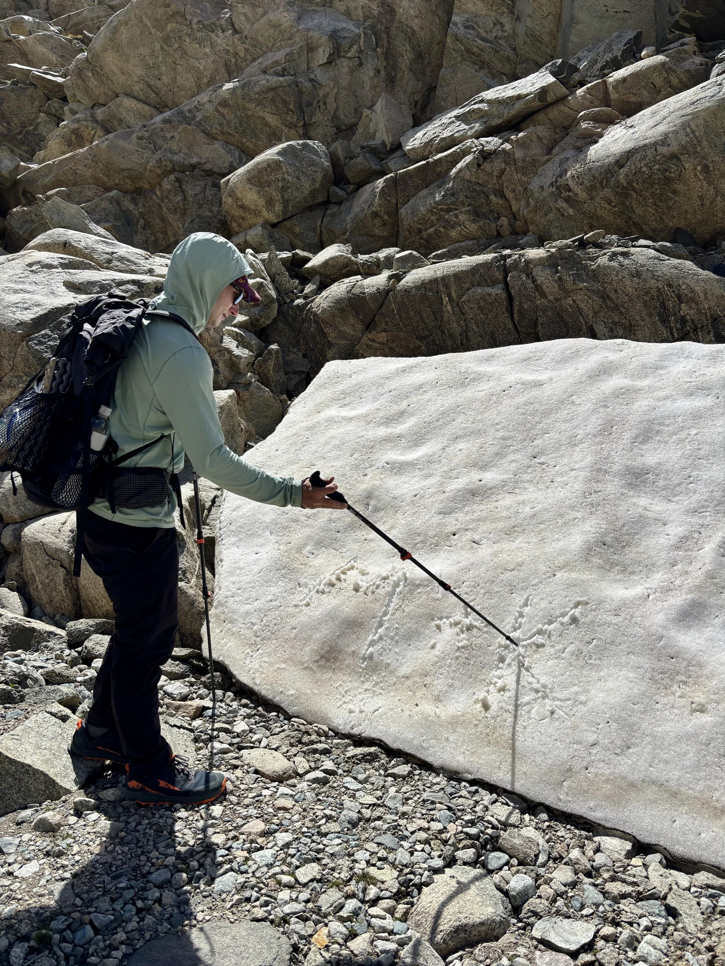
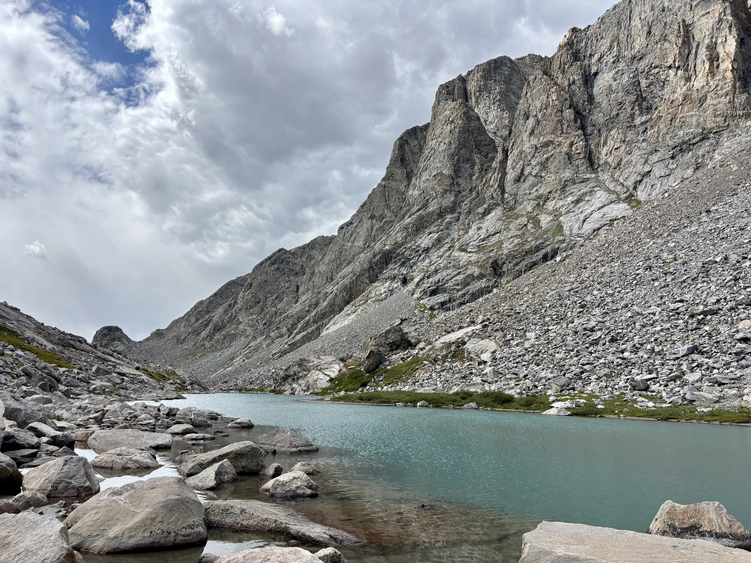
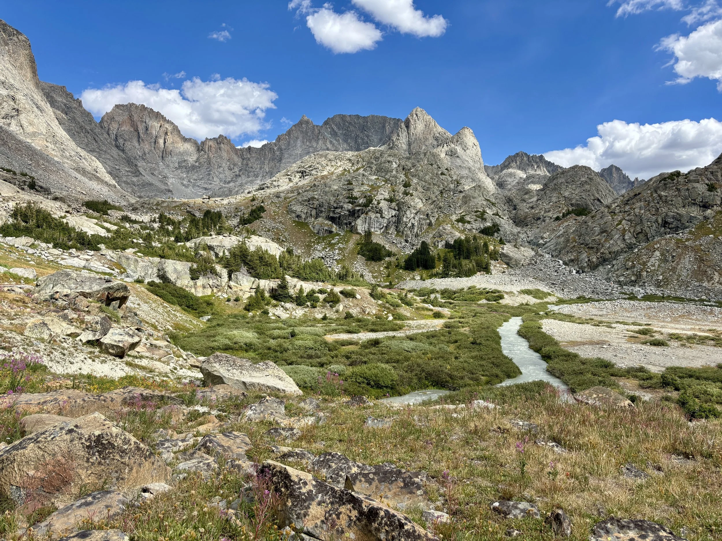
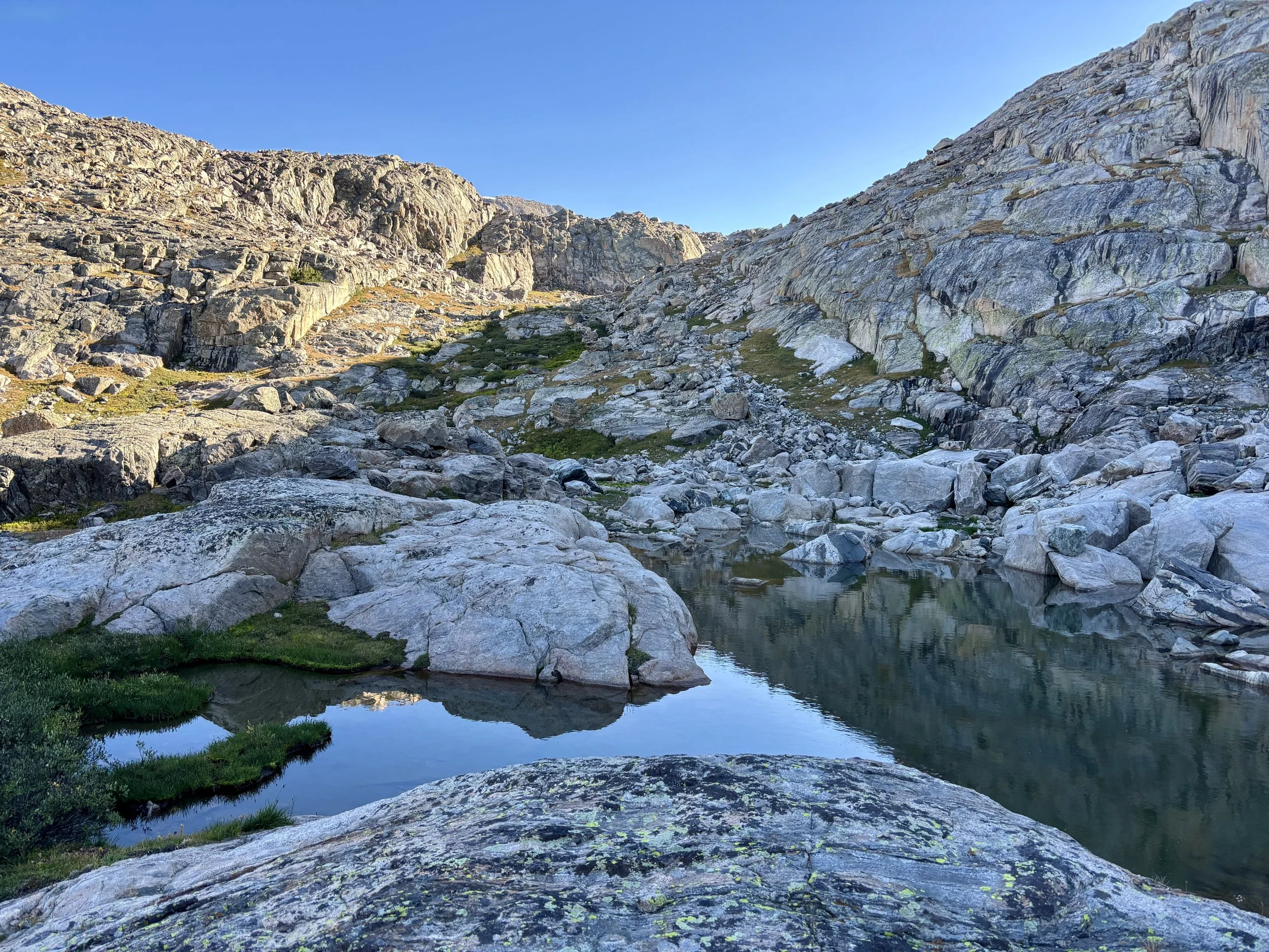
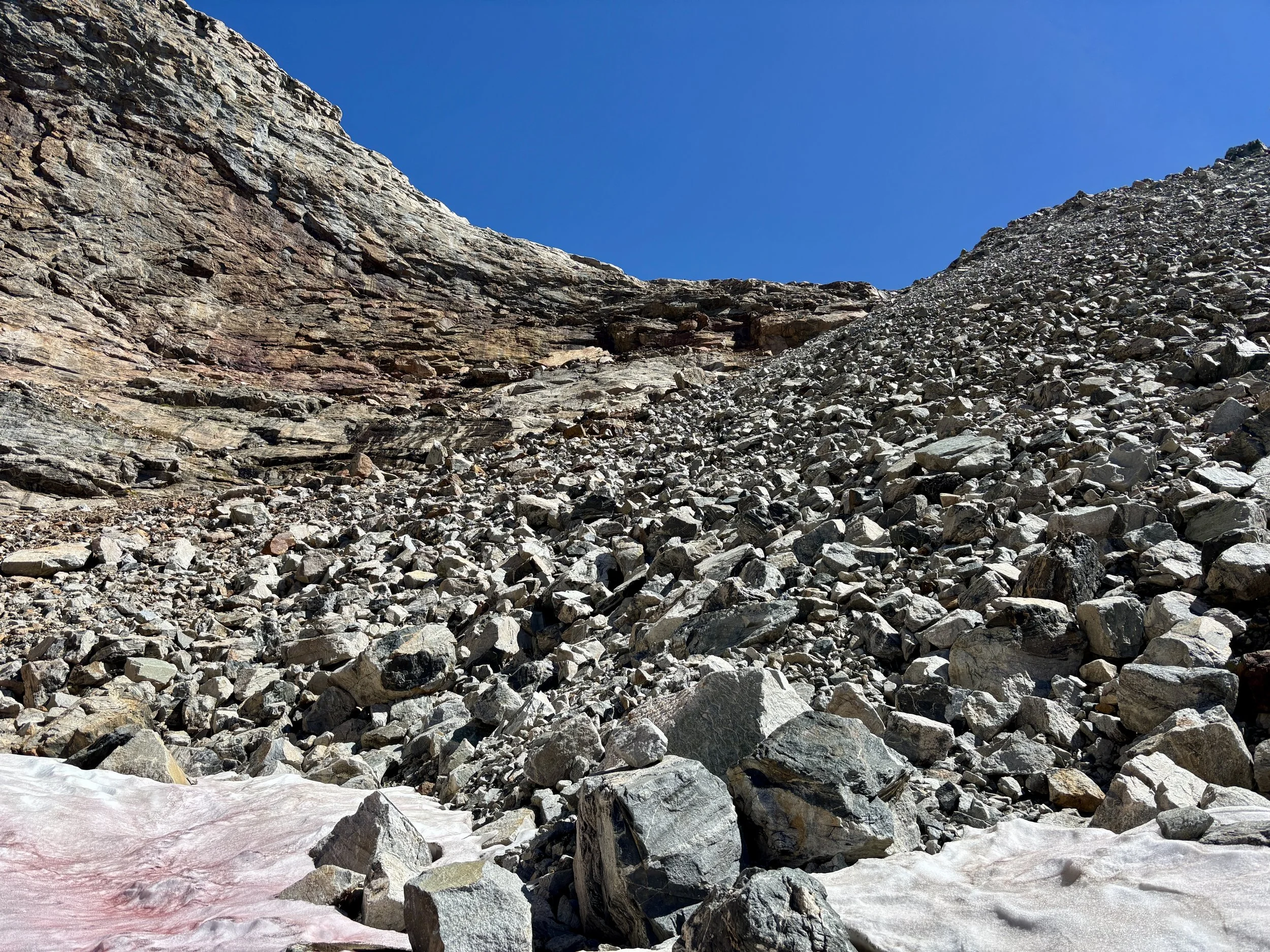
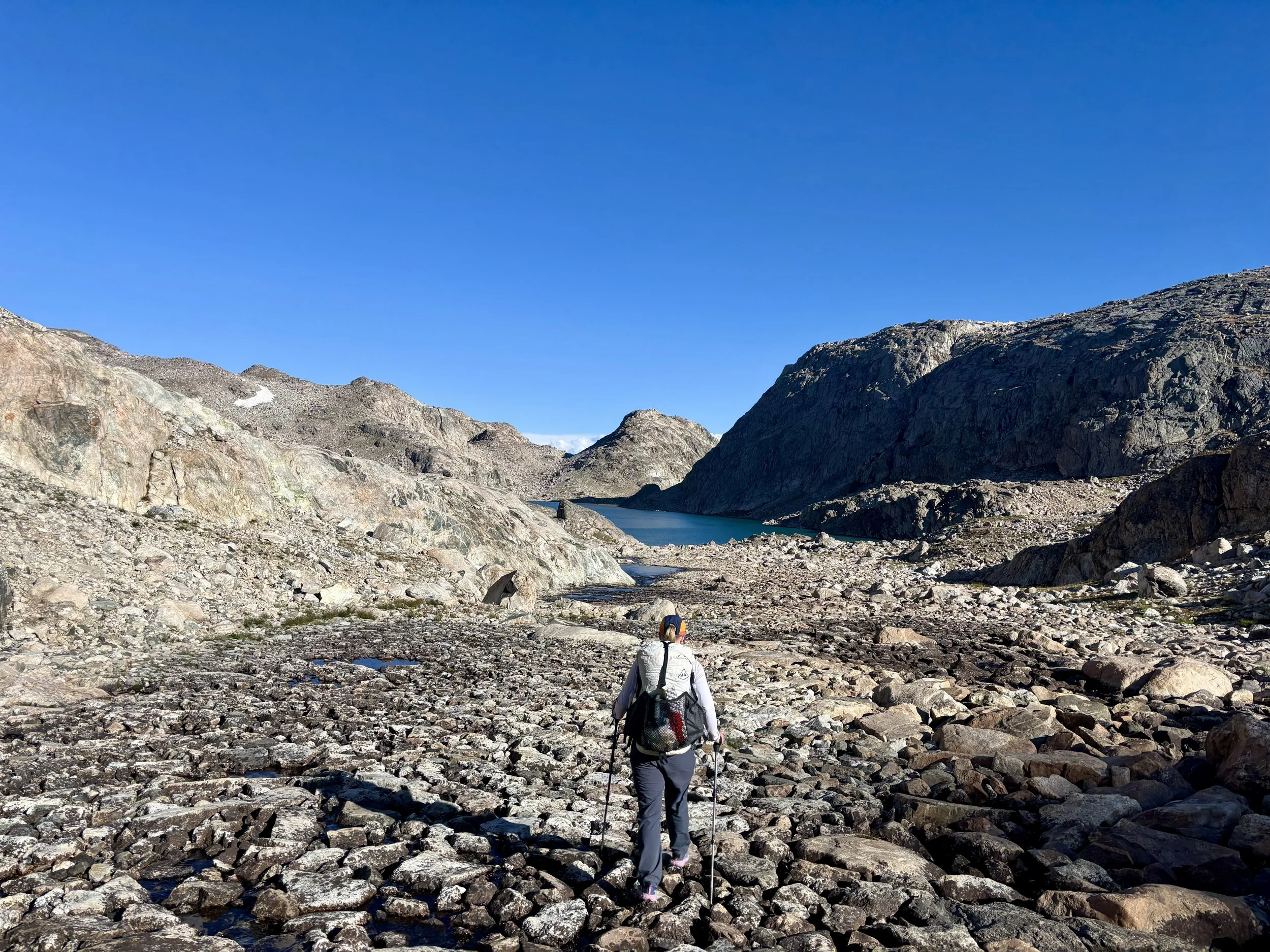
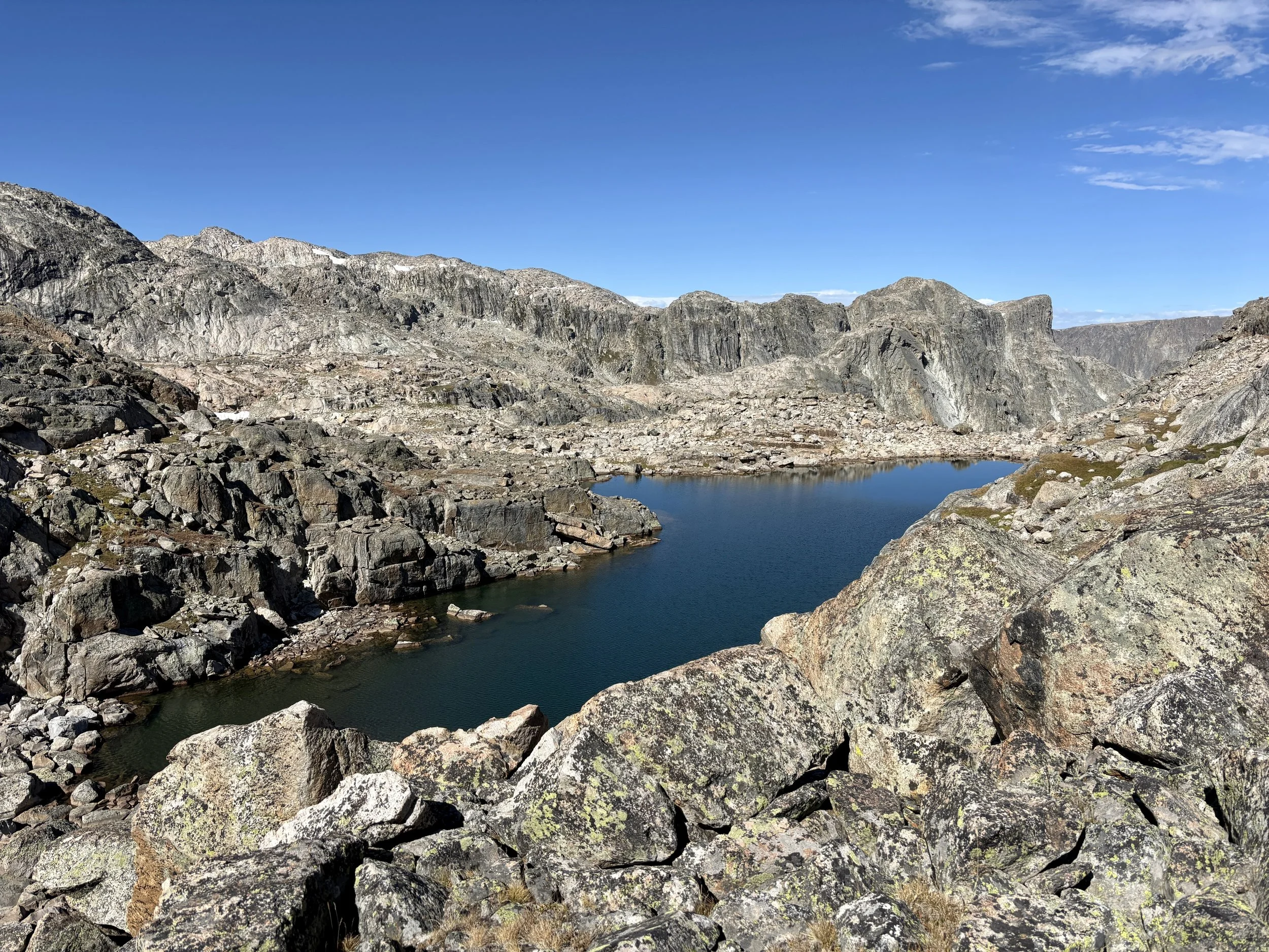
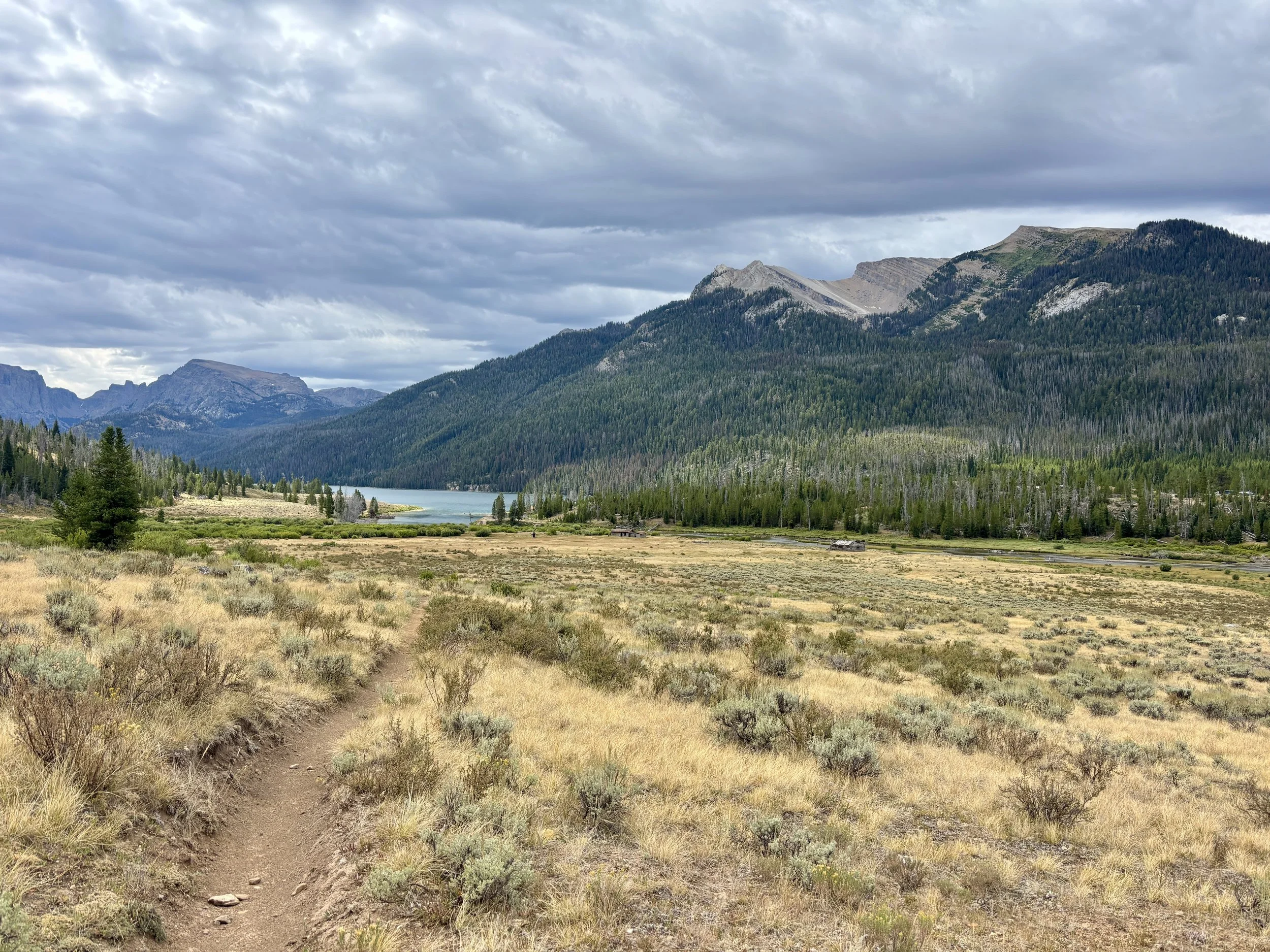
We parked at the Green River Lakes Trailhead around 7am on the first day of our trip. This would be the only day that would contain any real on-trail hiking. We headed south along the Highline Trail/CDT from the trailhead. Normally in the Winds, it feels like one has to walk quite a ways for the views to start opening up, but on this trail, I was pleasantly surprised by the beauty of Lower Green River Lake and the views we had towards Squaretop Mountain for the first several miles made me even more excited for what the trip was going to bring us. We made great time for the first 11.5 miles of the day that were all on-trail. We reached Three Forks Park around lunchtime and decided we had plenty of energy left to start tackling the next leg of the trip: the never-ending boulder field that makes up the bottom of Tourist Creek. We crossed the Green River and started heading up Tourist Creek. The reports I had read about the boulder field did not exaggerate how long it was. It never seemed to end. Parts of the boulder field had car-sized boulders that really slowed us down as route finding could be tricky. My least favorite part of the boulder field was the large spiders and their webs that liked to block the easiest path through them. If you’ve spent any time in boulder fields in the Winds, you will know what I’m talking about. After a few hours, it looked like weather was moving in and we were going to get wet. We tried to find a campsite, but were unable to find one in the trees near the boulder fields. So we decided to keep moving as a few drops started falling around us. Thankfully, the shower was short-lived. When we finally made it to the first “lake,” at around 10,100 ft, we were ready to call it quits for the day and found a suitable campsite for the night. We both hoped to never see a boulder again, but we were in the Winds so we knew we’d have some boulders we’d have to navigate the very next day. Mike went down to filter some water and encountered some very fresh tracks from a large animal. There’s a picture of it in the pictures on this page - does anyone know what animal it was? We proceeded to make a bit of noise once Mike got back so that our presence would be known. After dinner, we were totally exhausted and headed to bed early.
Stats: 13.5 miles, 2530 ft of elevation gain.
Day 2
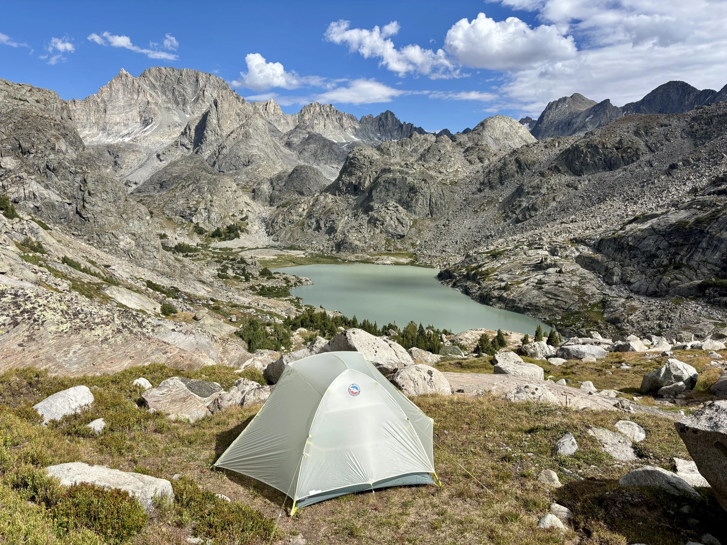
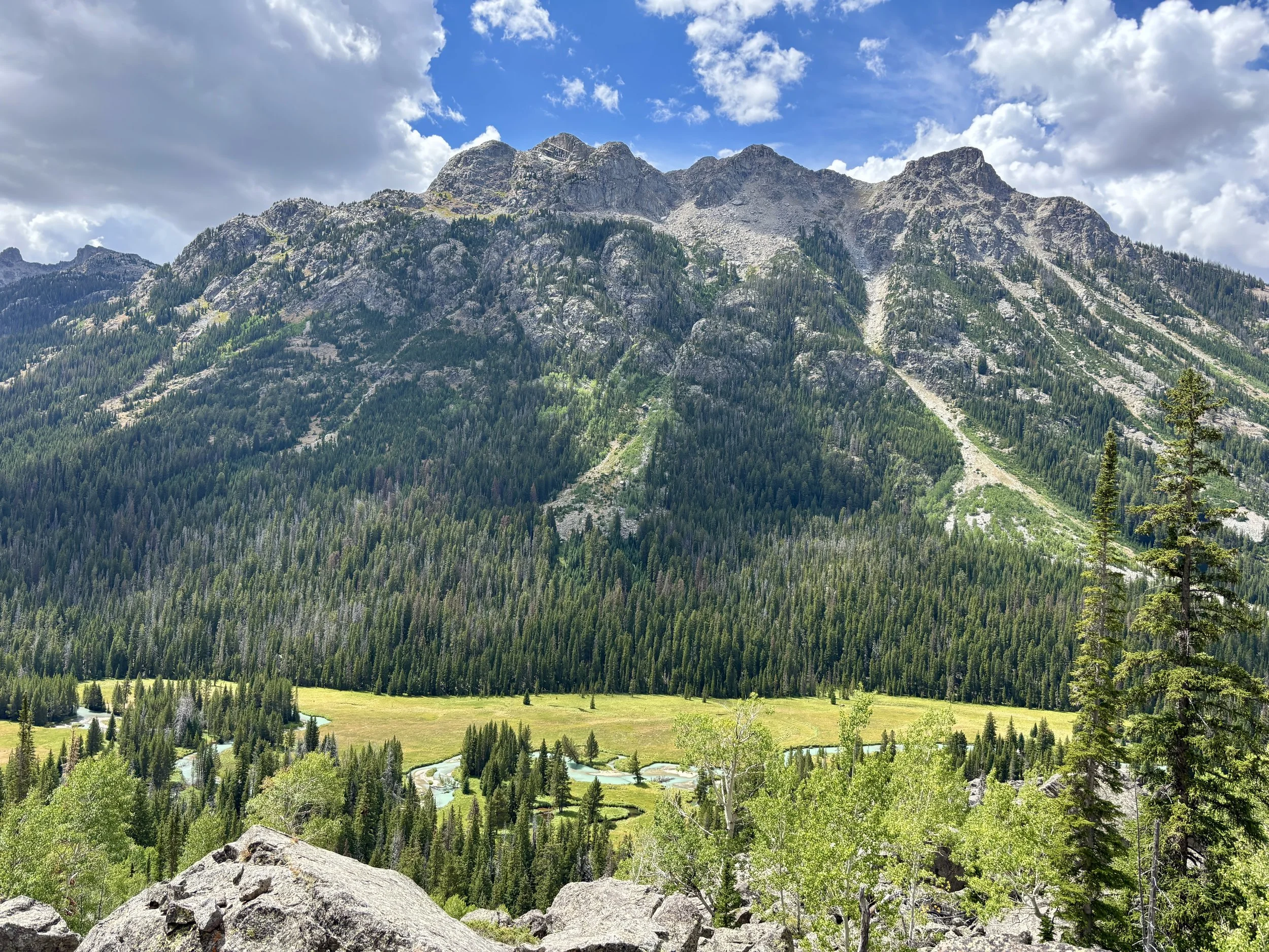
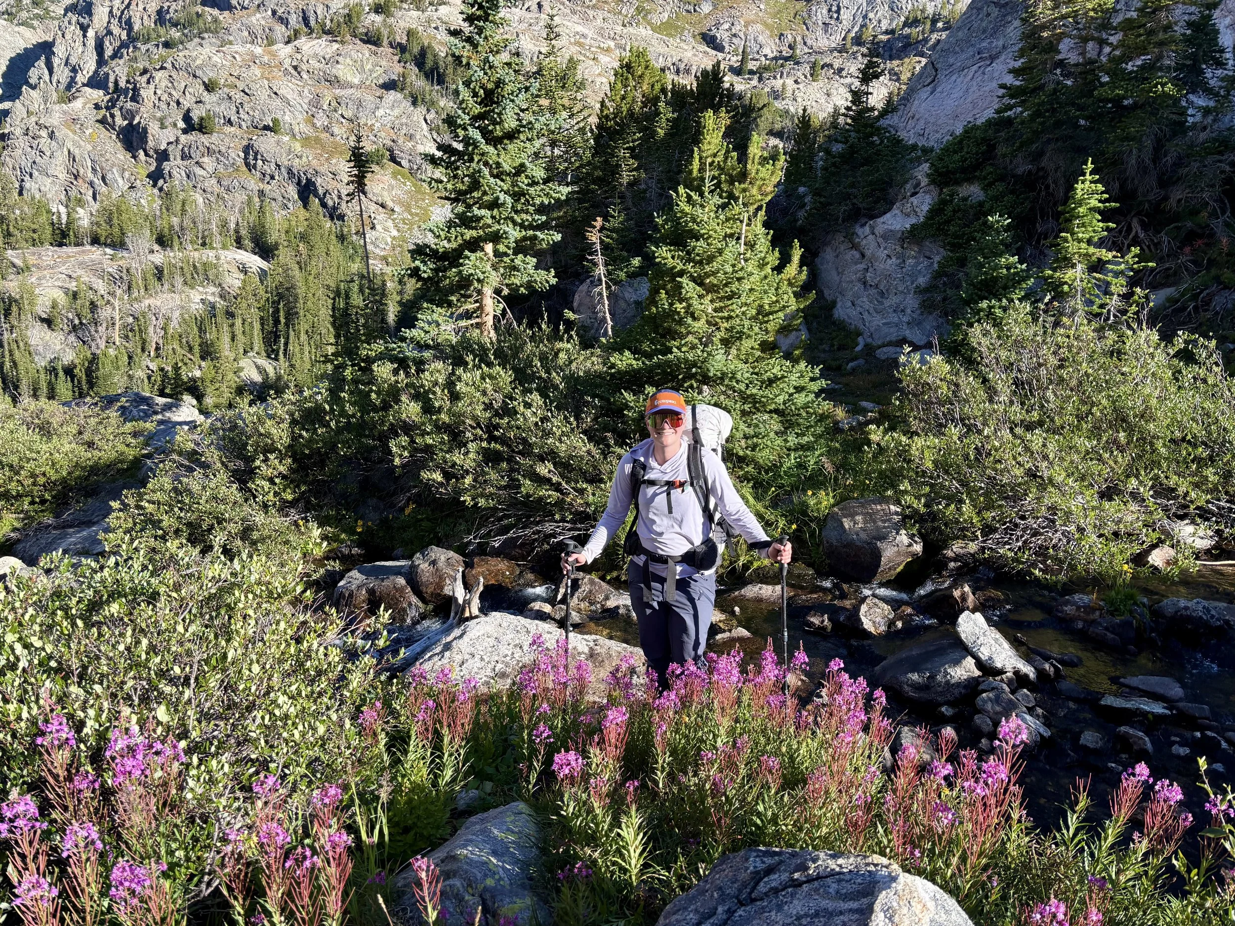
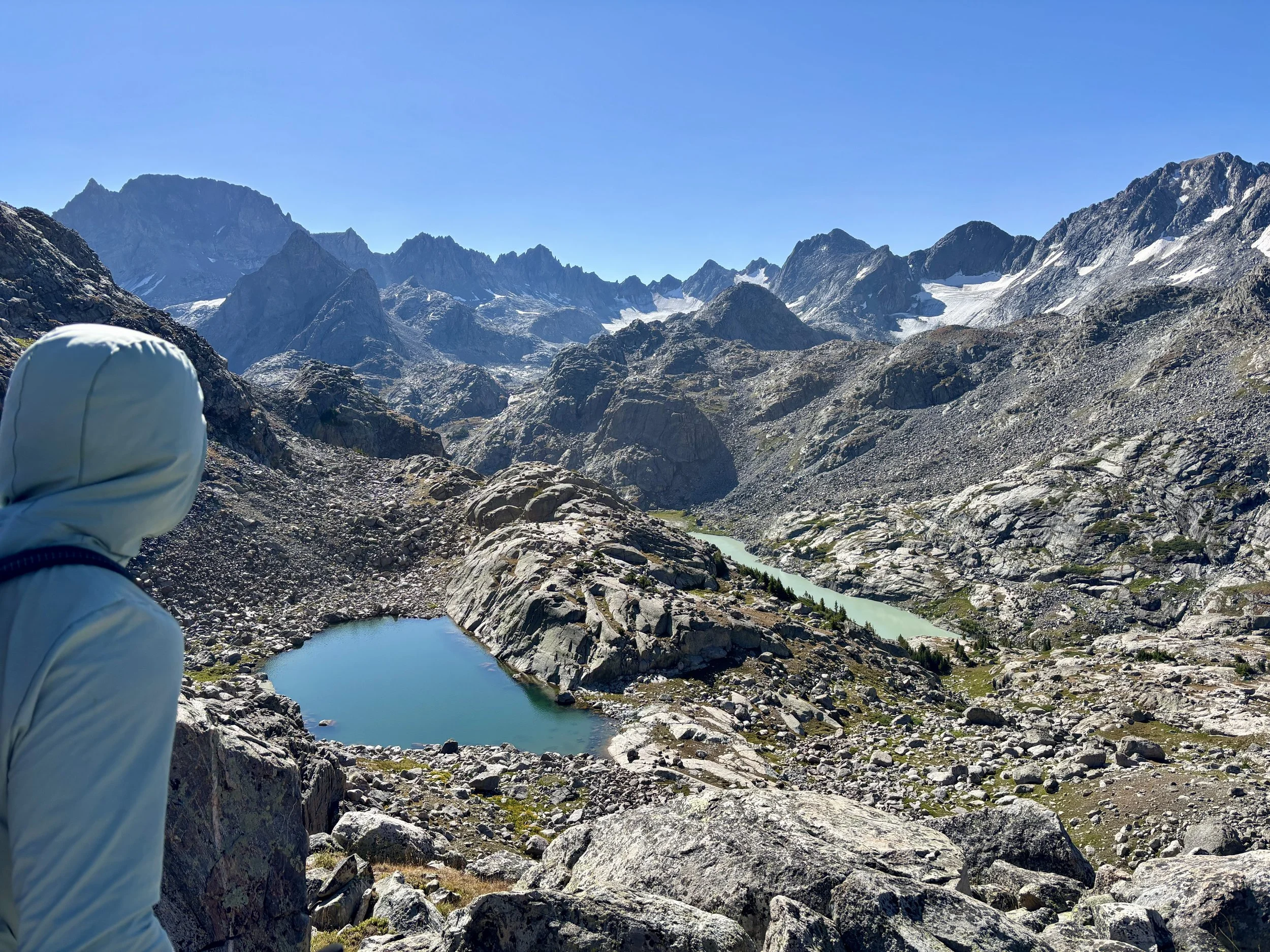
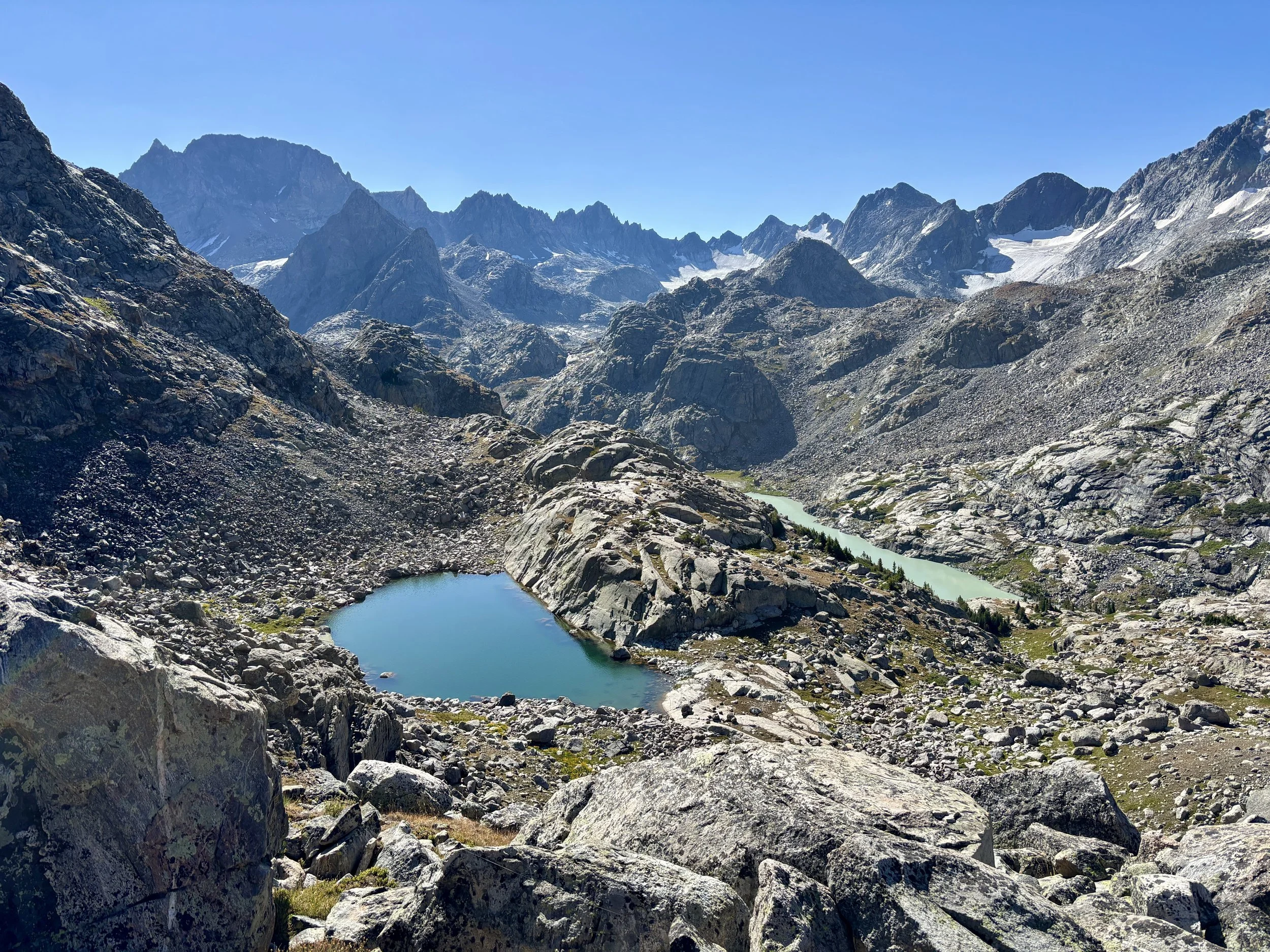
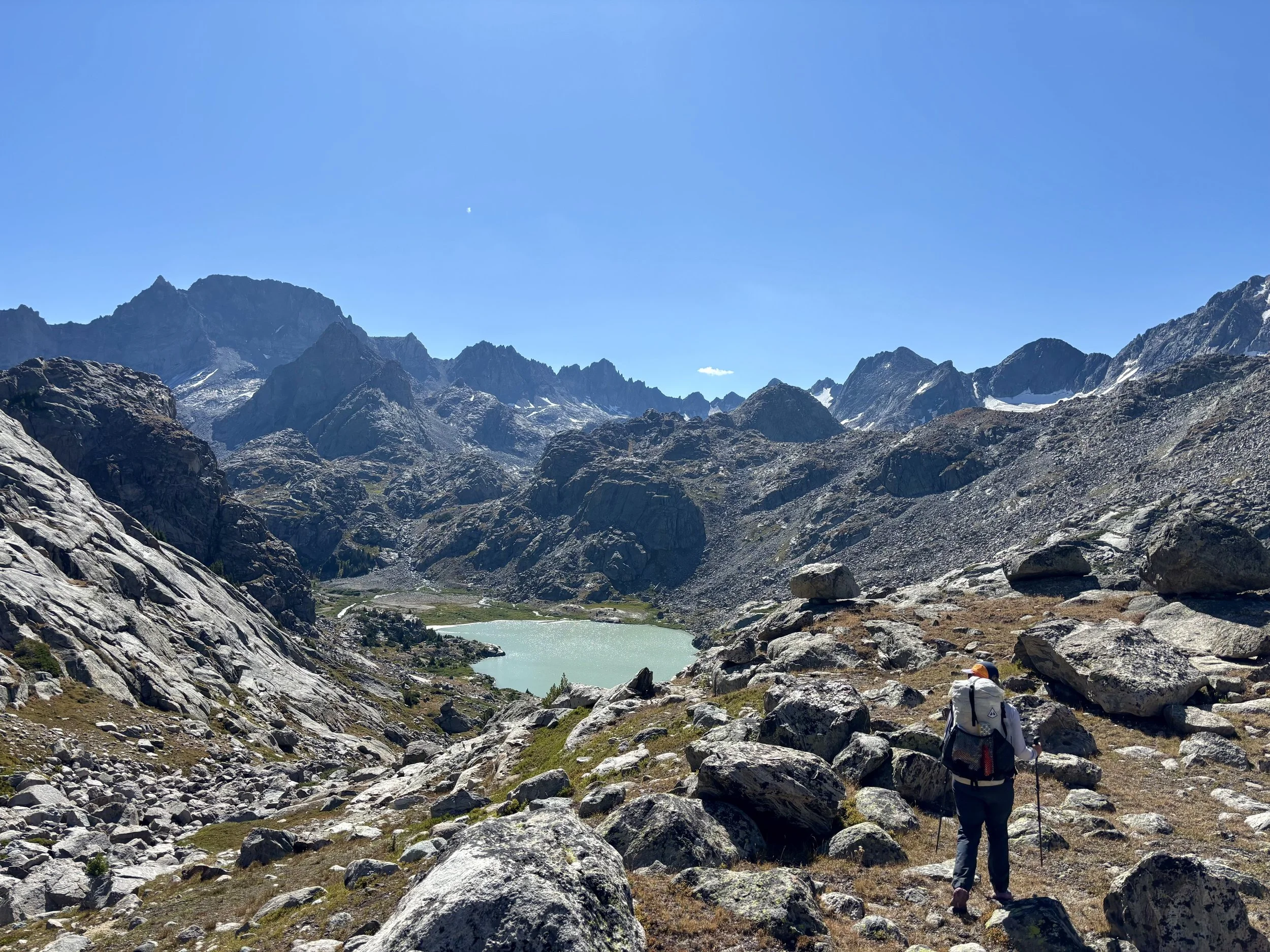
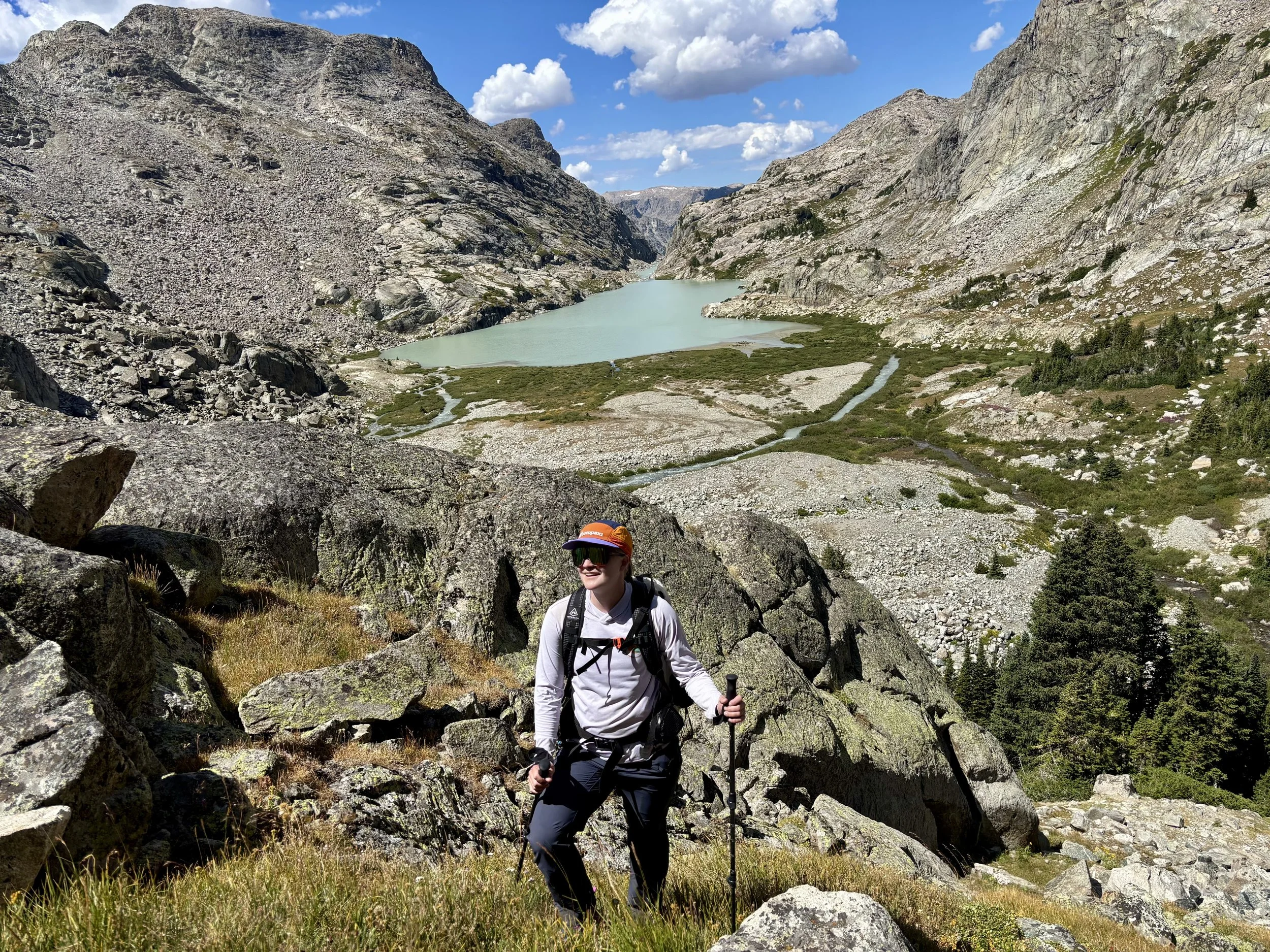
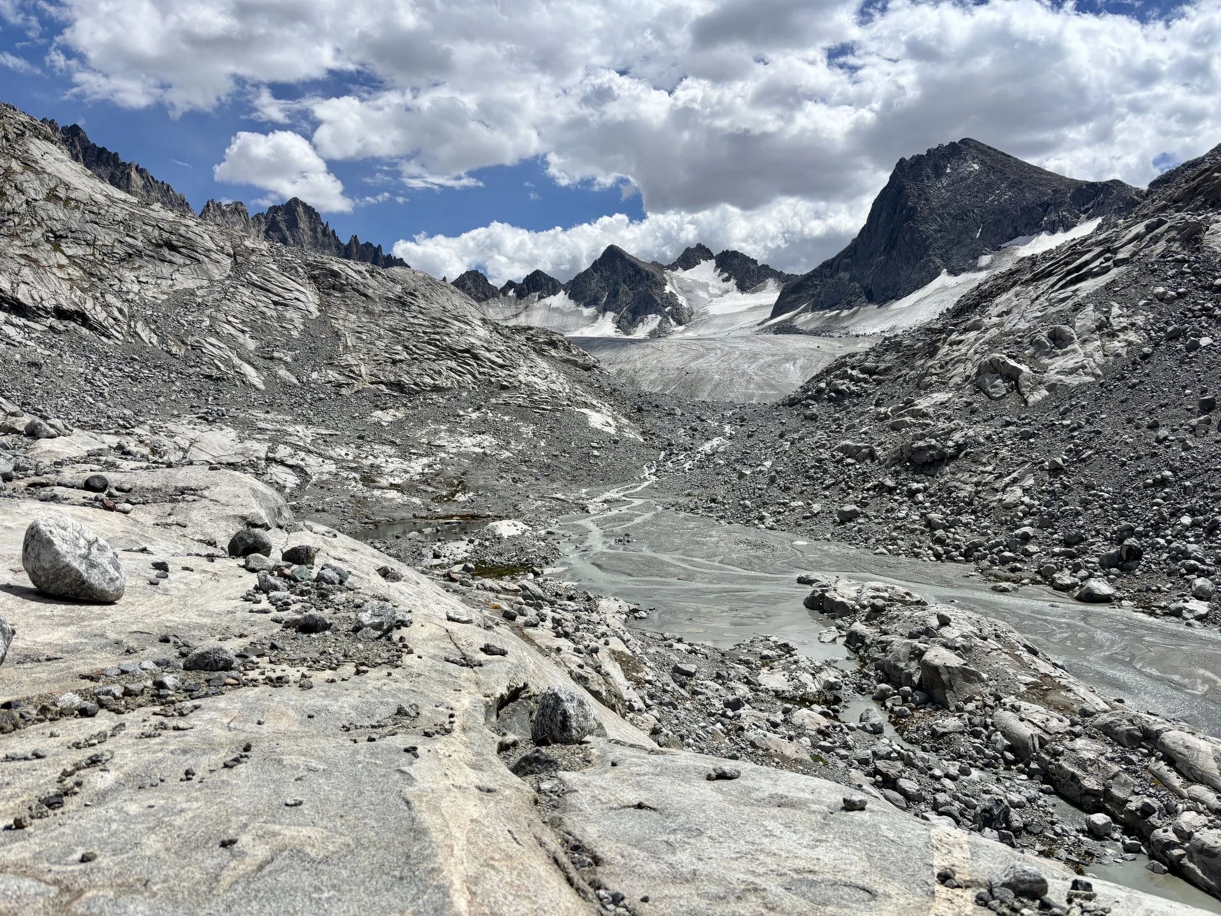
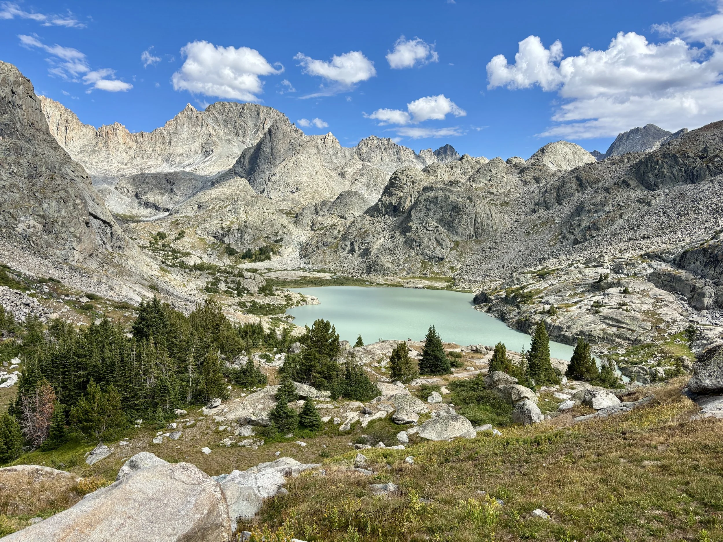
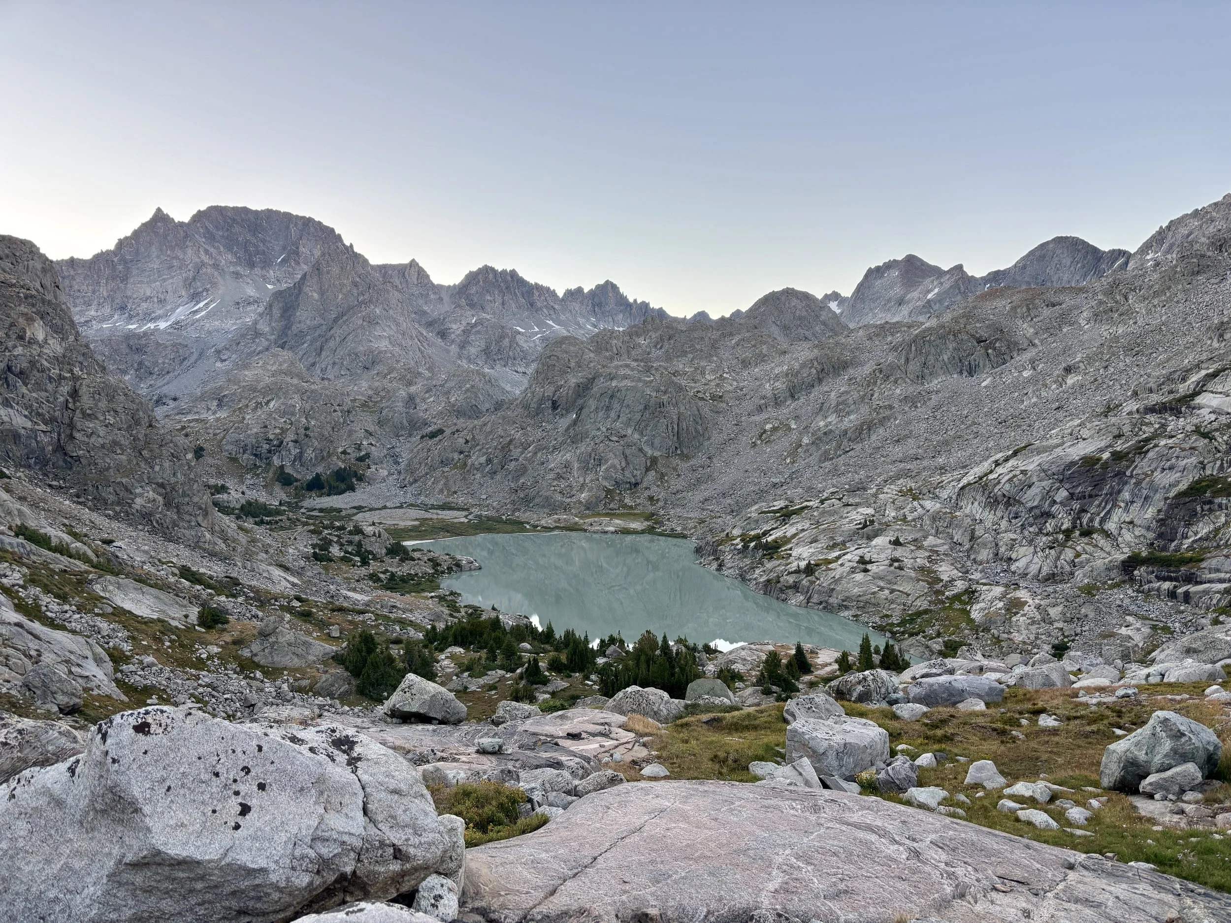
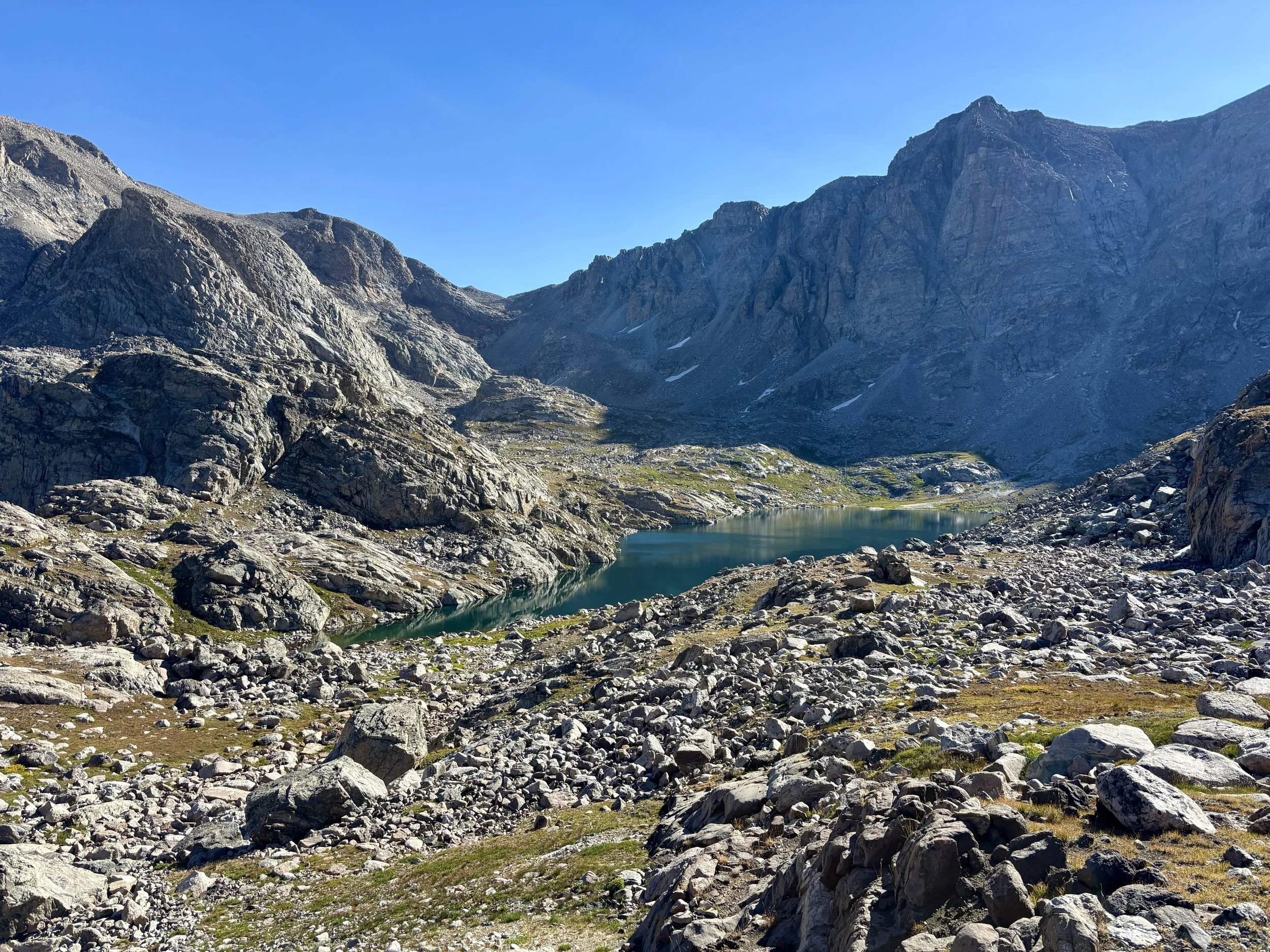
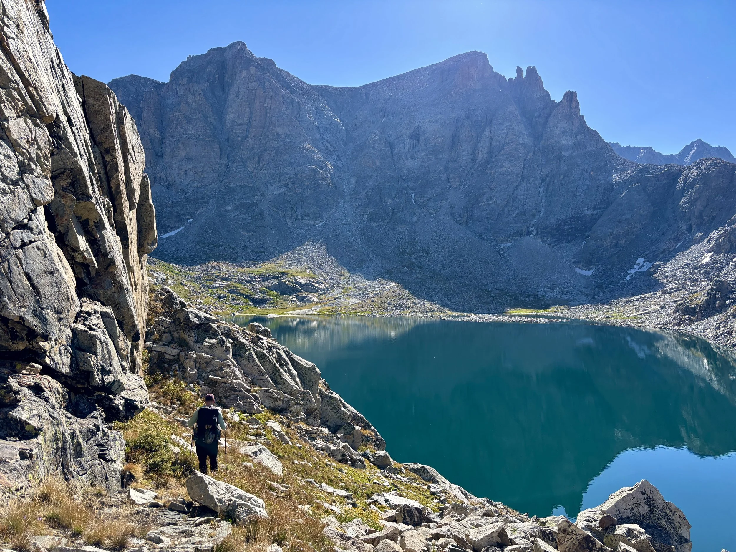
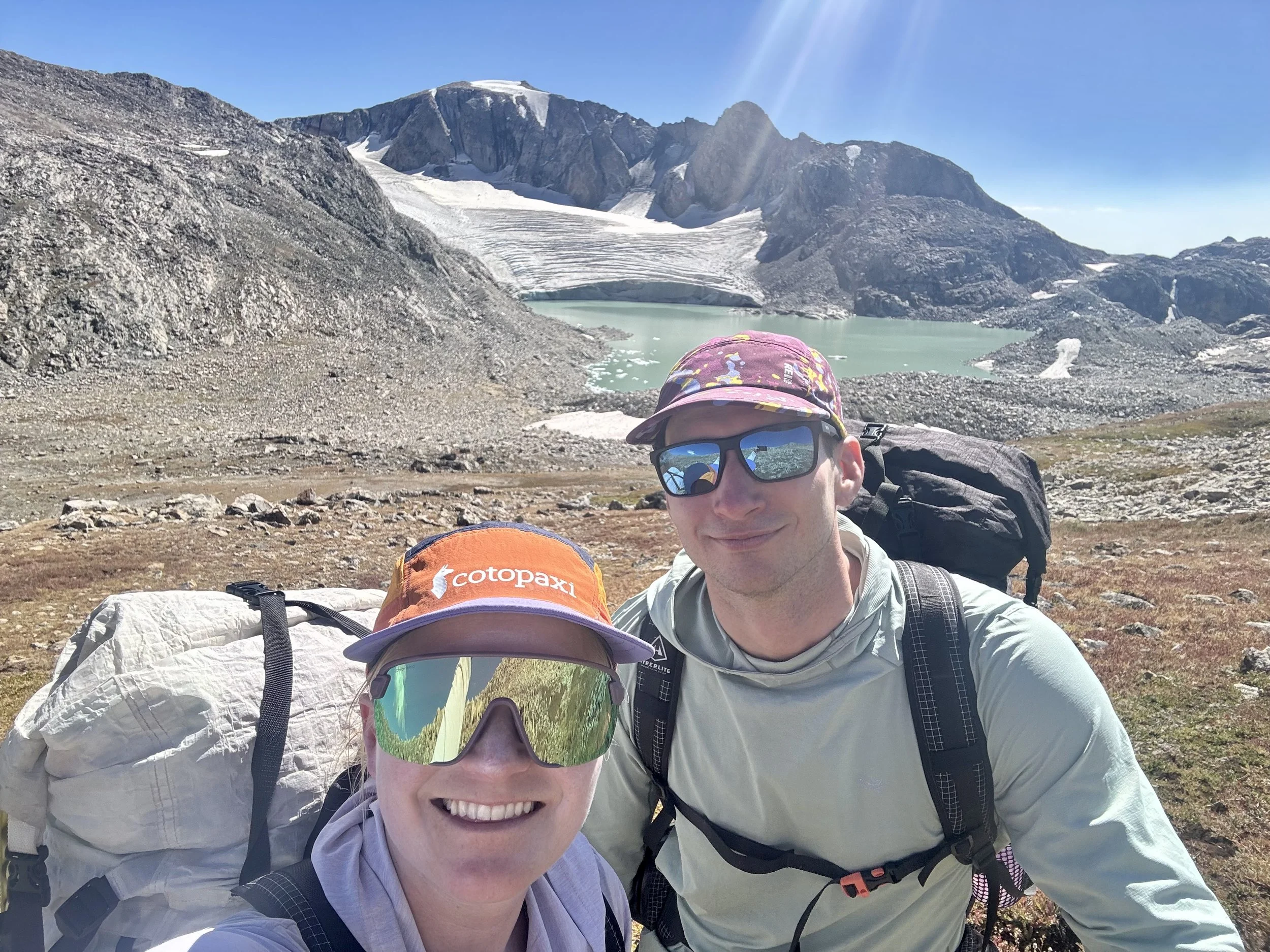
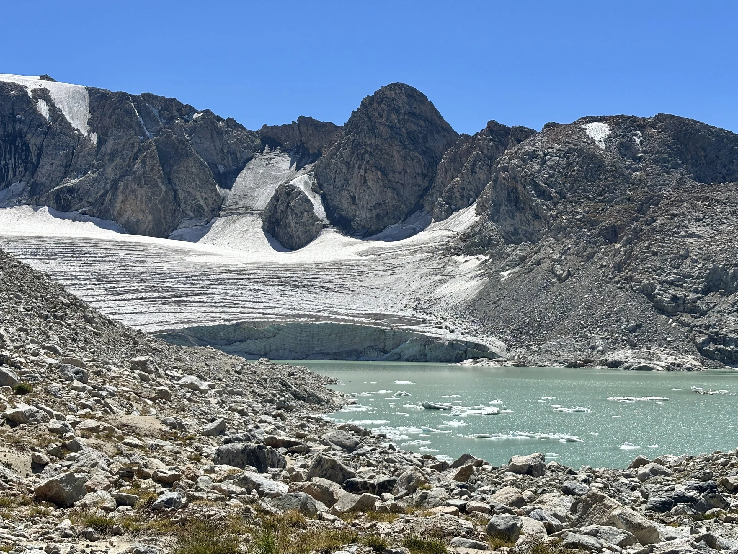
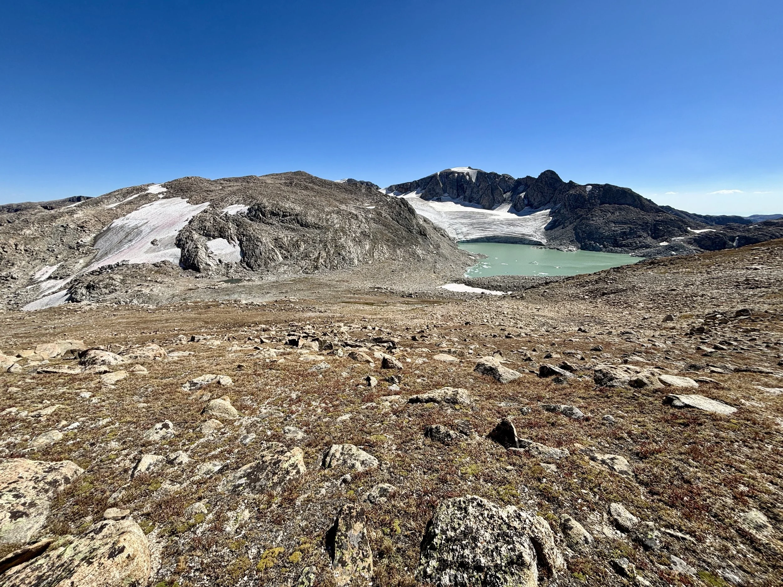
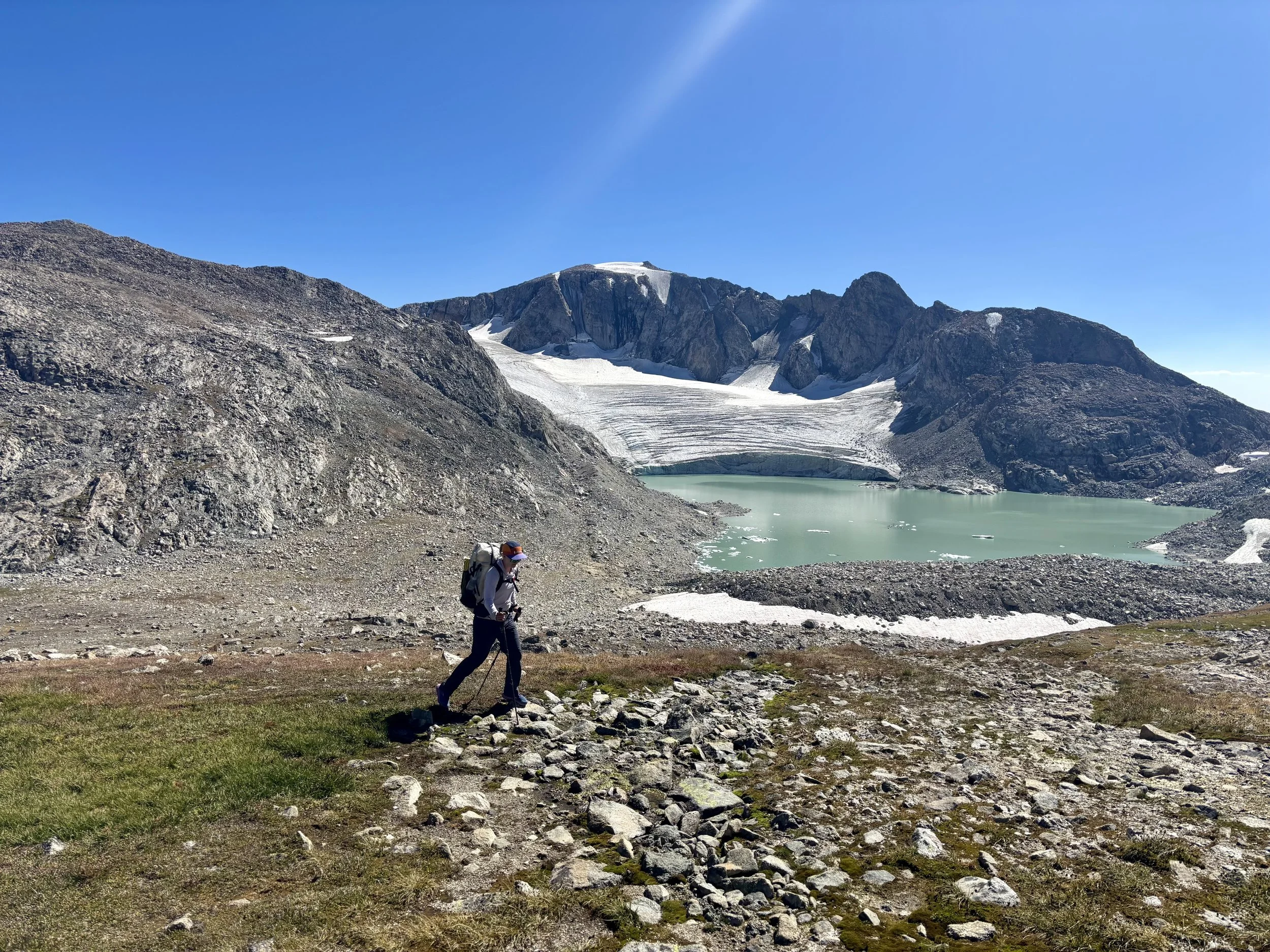
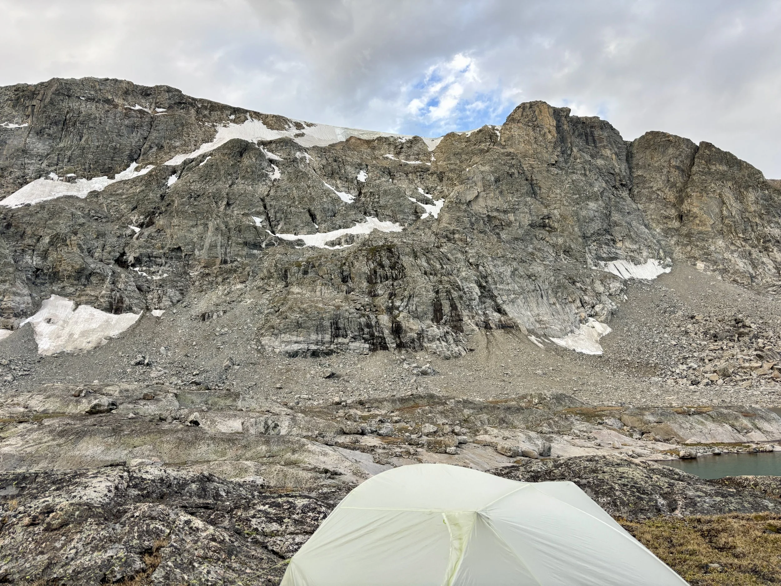
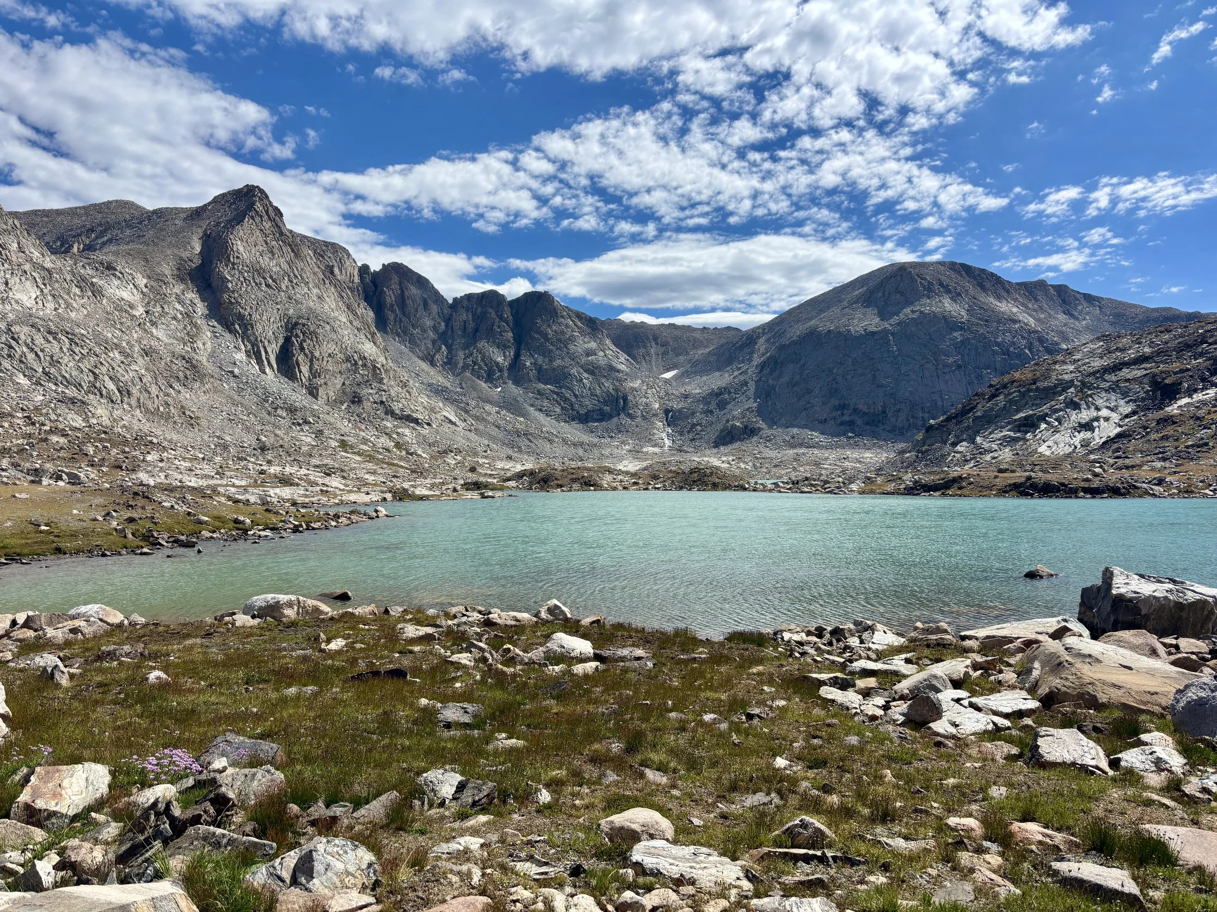
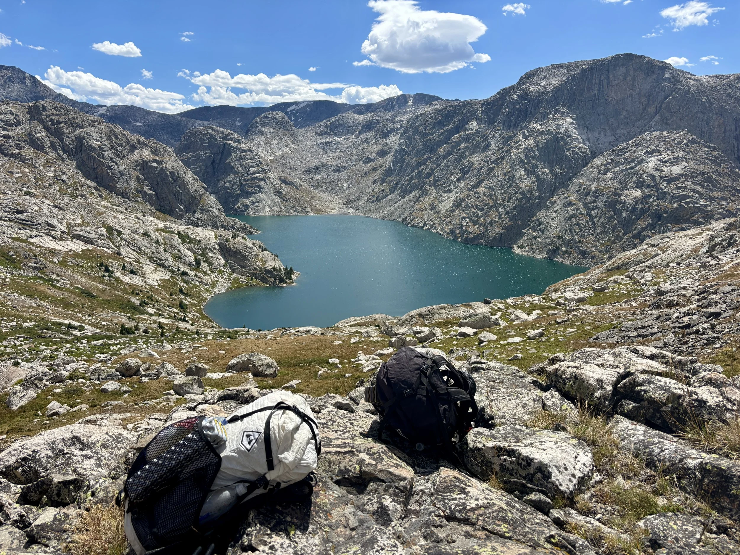
The next morning, we woke up early, looking to get an early start on the day. We continued to head up the Tourist Creek drainage and then turned south/southeast at around 10,250 ft in elevation to head towards Lake 11,085. We continued past the lake and into the Wells Creek drainage. We saw one person this day who said he was attempting Gannett Peak at some point. He asked us if we knew of a different way out of the Tourist Creek drainage so that he didn’t have to go back down the same boulder field he went up. We told him yes, and that was what we would be doing, but it would take him an extra day or two. I wonder what he ended up doing. As we started down the other side of Lake 11,085 towards Scott Lake, we found a nice flat spot on a bench that had beautiful views of Scott Lake, Gannett Peak, and a whole handful of other mountains. We decided it’d be a perfect camping spot for the night. We set up our tent and put all of the items we didn’t need for a day hike in the tent. With much lighter packs, we continued down to Scott Lake. We walked along its north shore and then cut up a grassy/rocky slope towards Mammoth Glacier, which was going to be our turnaround point for the day. When we reached the foot of the glacier, we took a nice, long snack break that was occasionally disrupted by some rockfall. Once we were ready, we headed back to the campsite we had set up earlier that day. It may be one of the best campsites I think I’ve ever had.
Stats: 6.8 miles, 2100 ft of elevation gain.
Day 3
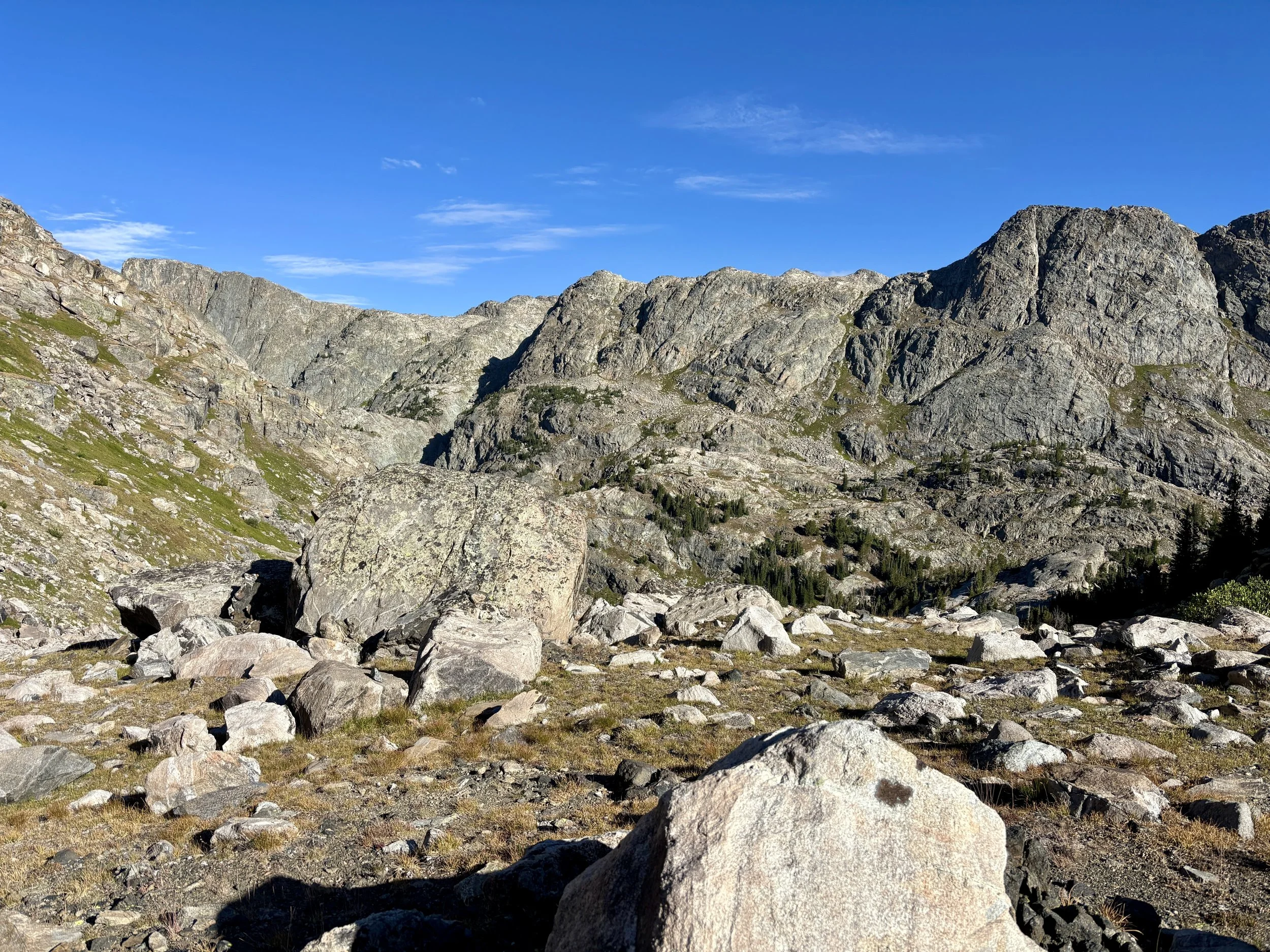
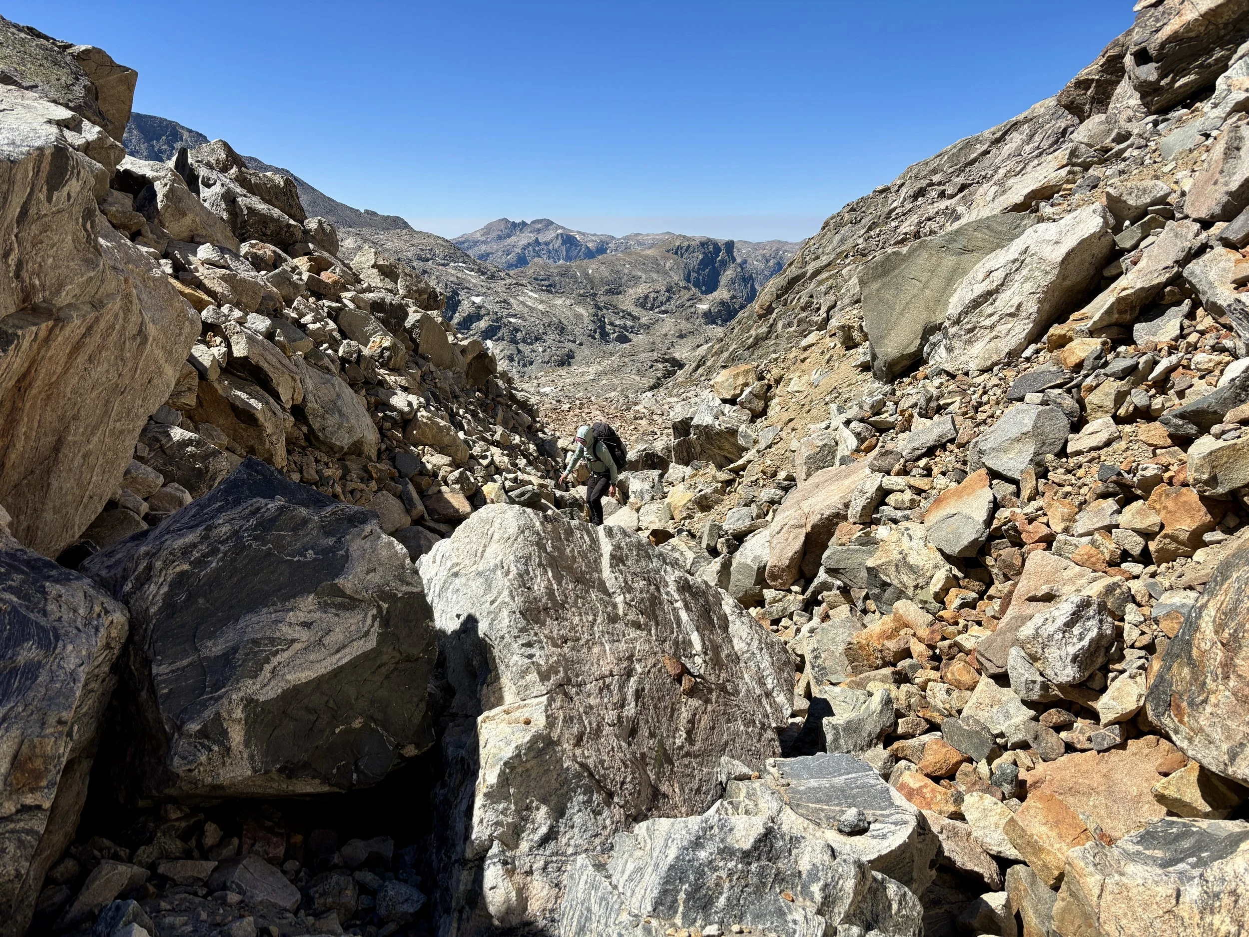
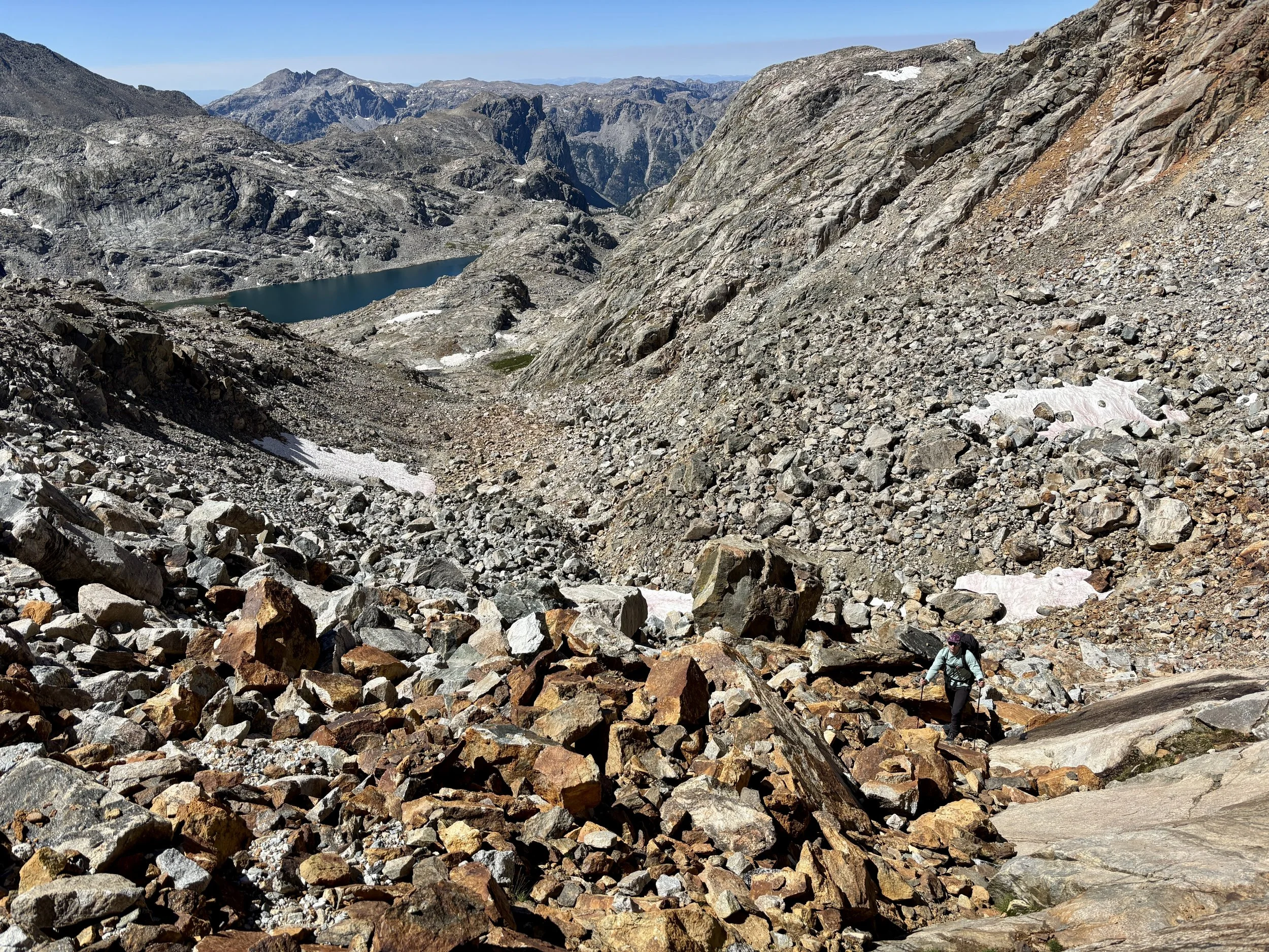
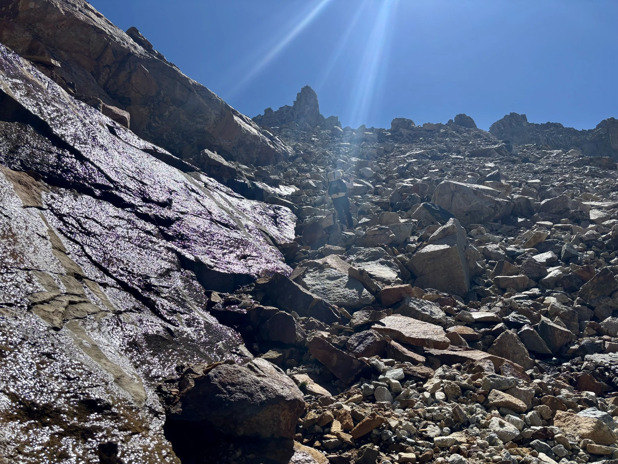
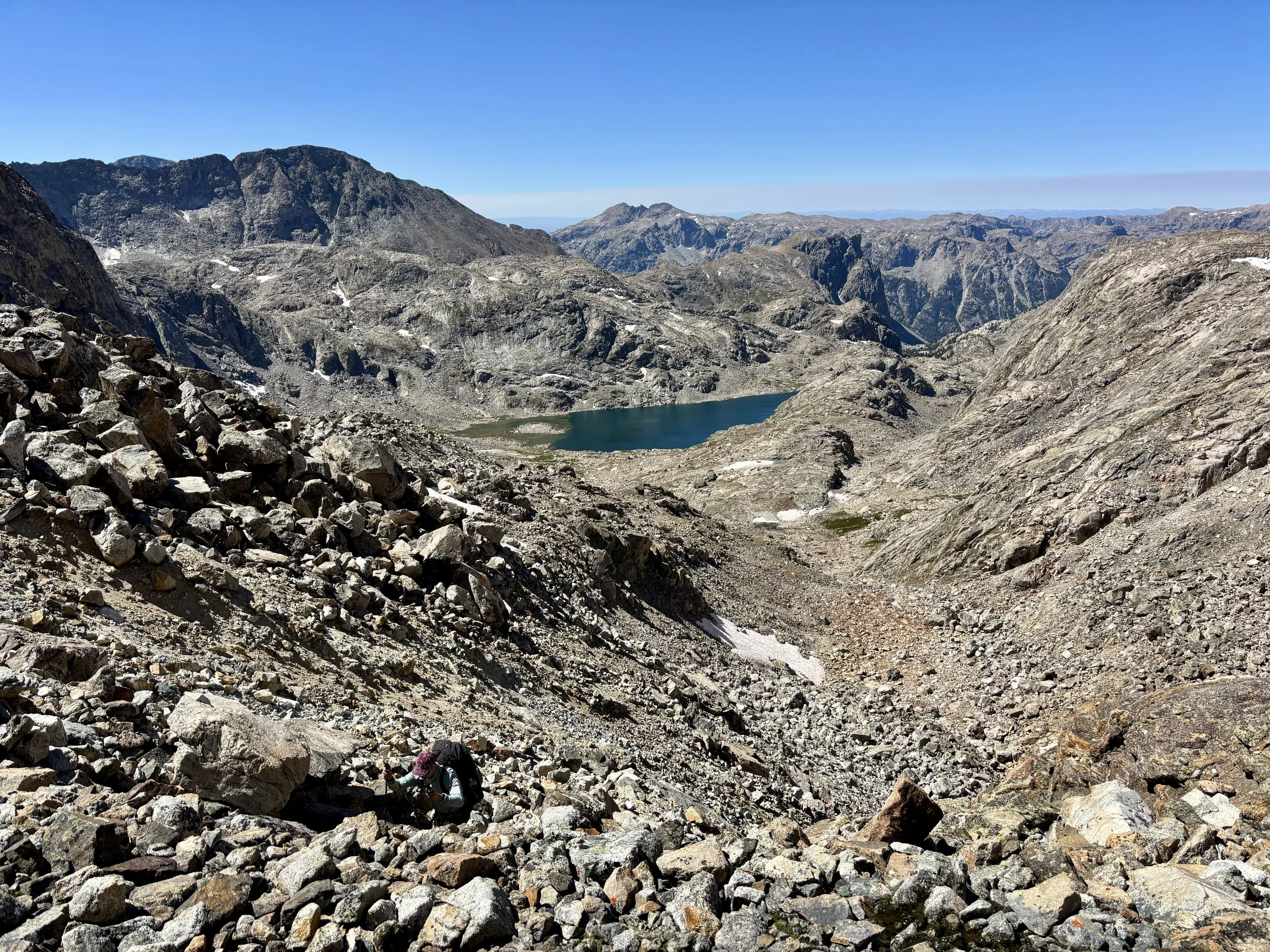
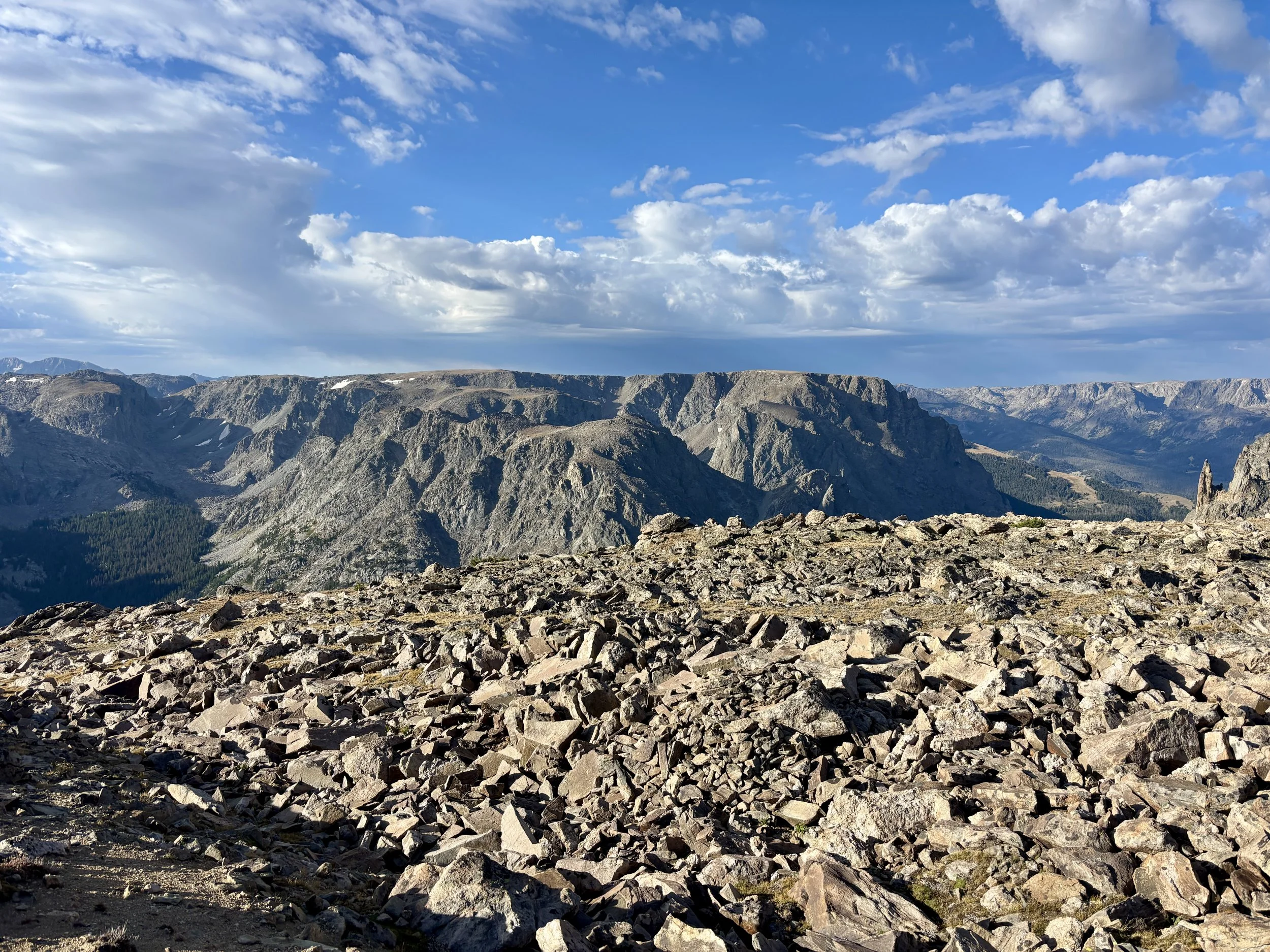
The next morning we headed out of the Wells Creek drainage, back towards Lake 11,085. The weather was supposed to be pretty perfect that day so we decided to head up towards the Continental Divide, which was the part of the trip that was going to require perfect weather to complete. We headed up towards Flagstone Lake and started working our way up the grassy slopes above the lake. Eventually, the grass gave way to talus and boulders and we found ourselves once again walking on rocks or boulder hopping. We headed up the obvious gully that would take us to the Divide. One section of the gully felt a bit unstable, but we split up and tackled it one at at time incase some rockfall did happen. We were able to make it through without incident. Ironically, once we made it to the Continental Divide, we had the worst views of the day. In this area, the Divide is quite flat and it’s difficult to have views unless you go to the edge of the plateau it feels like you are on.
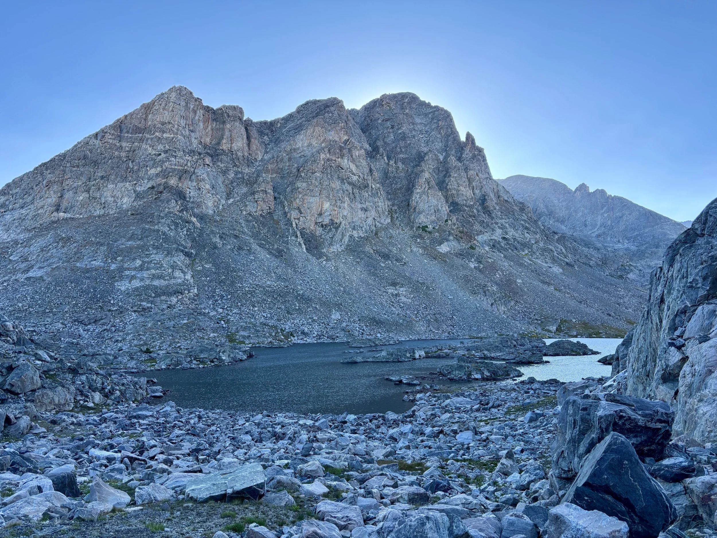
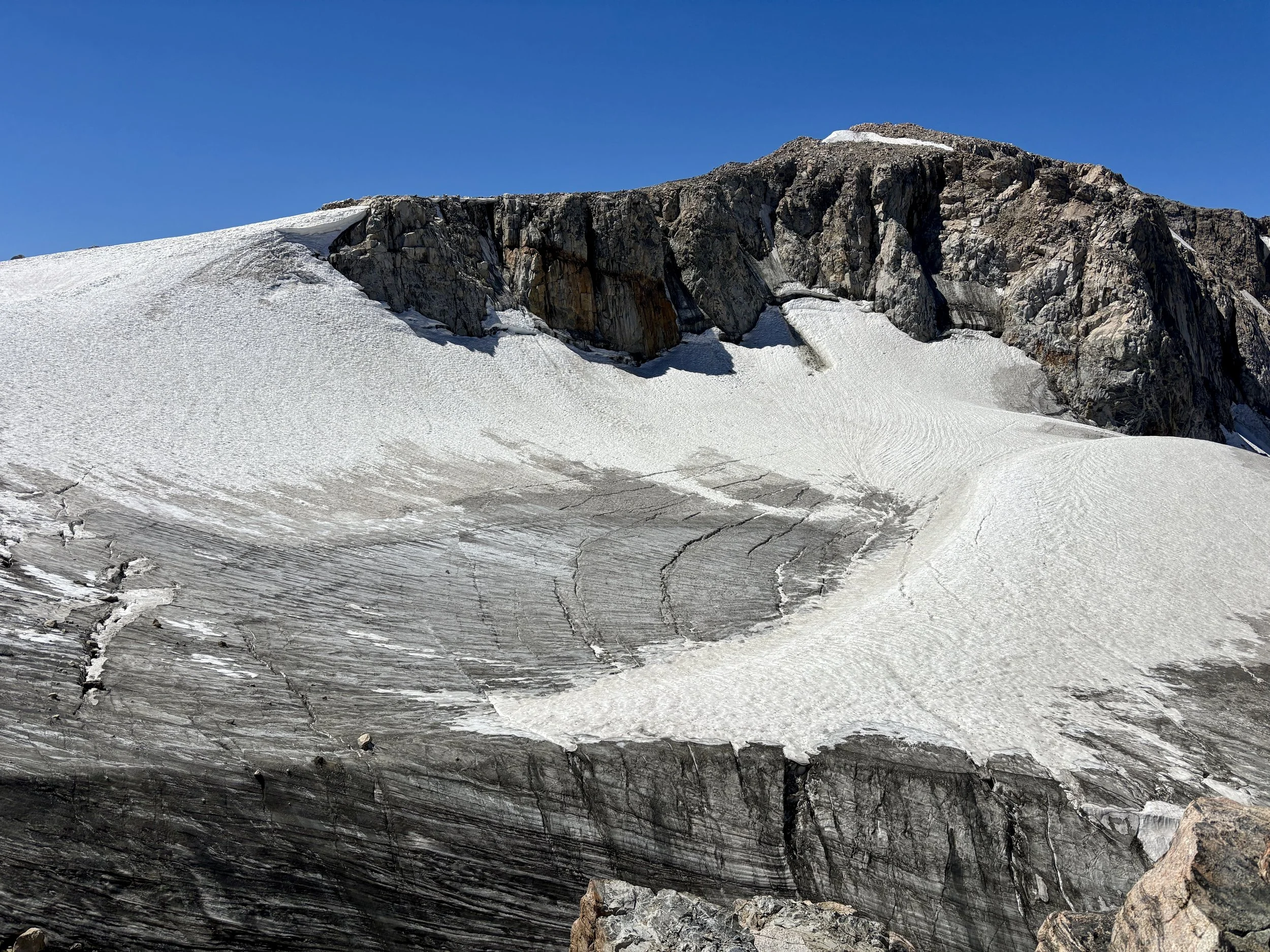
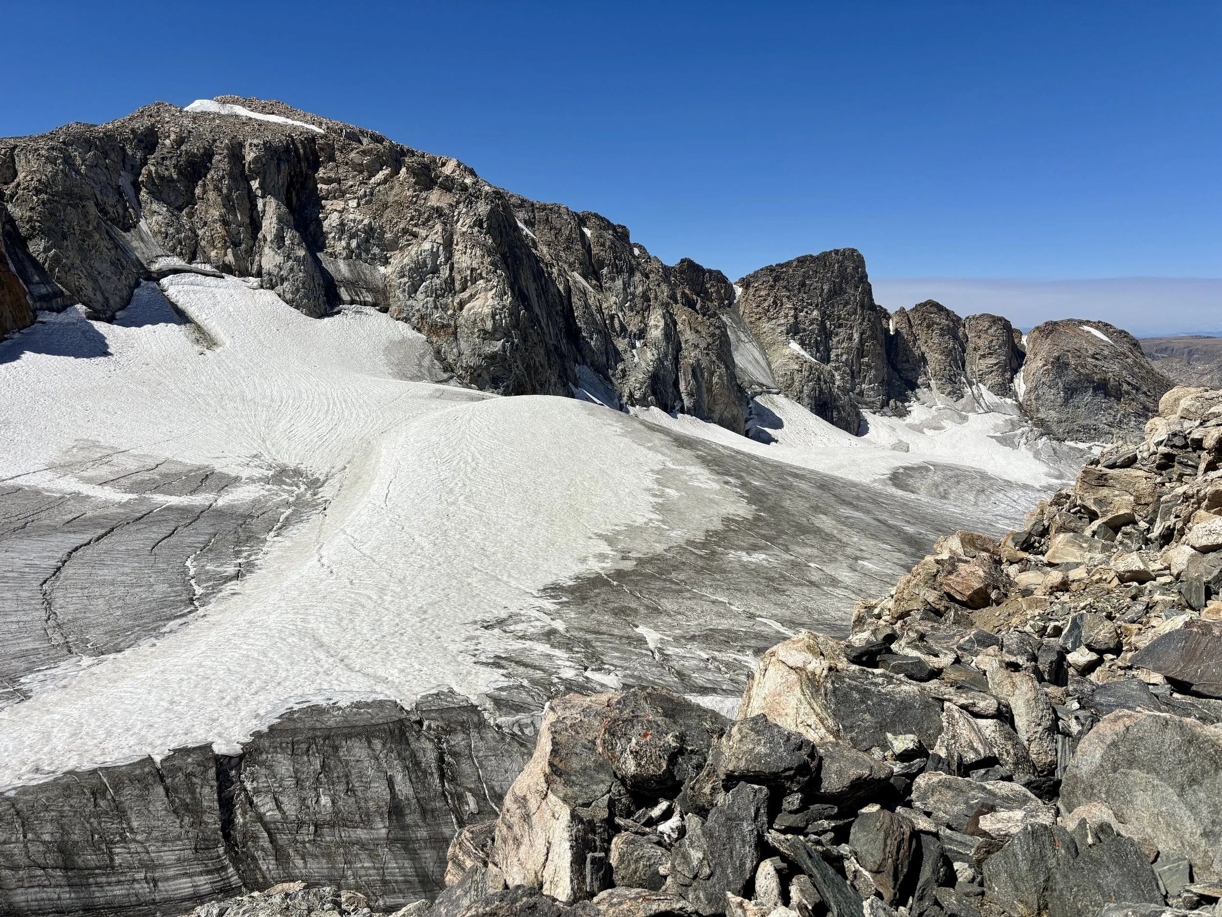
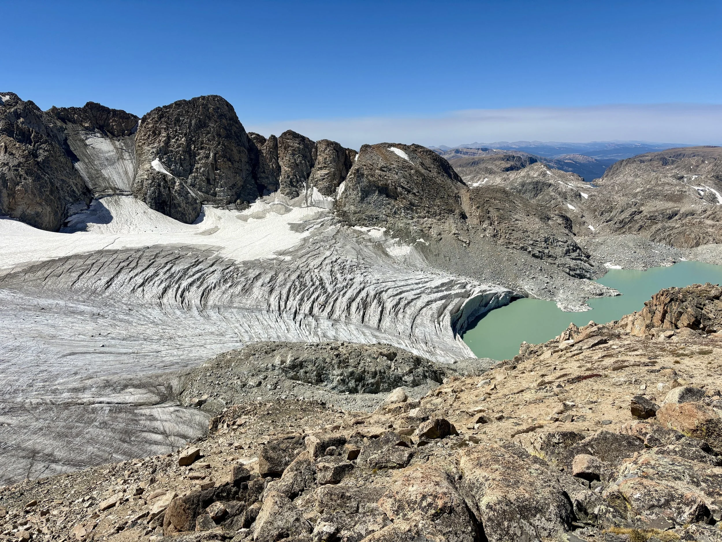
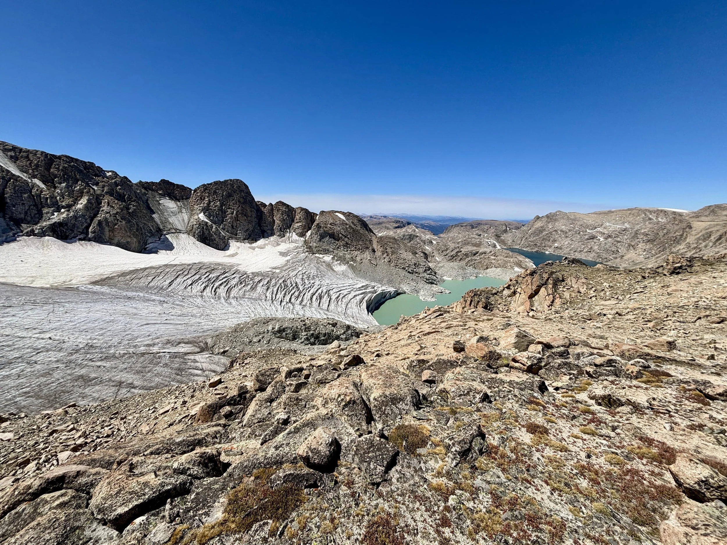
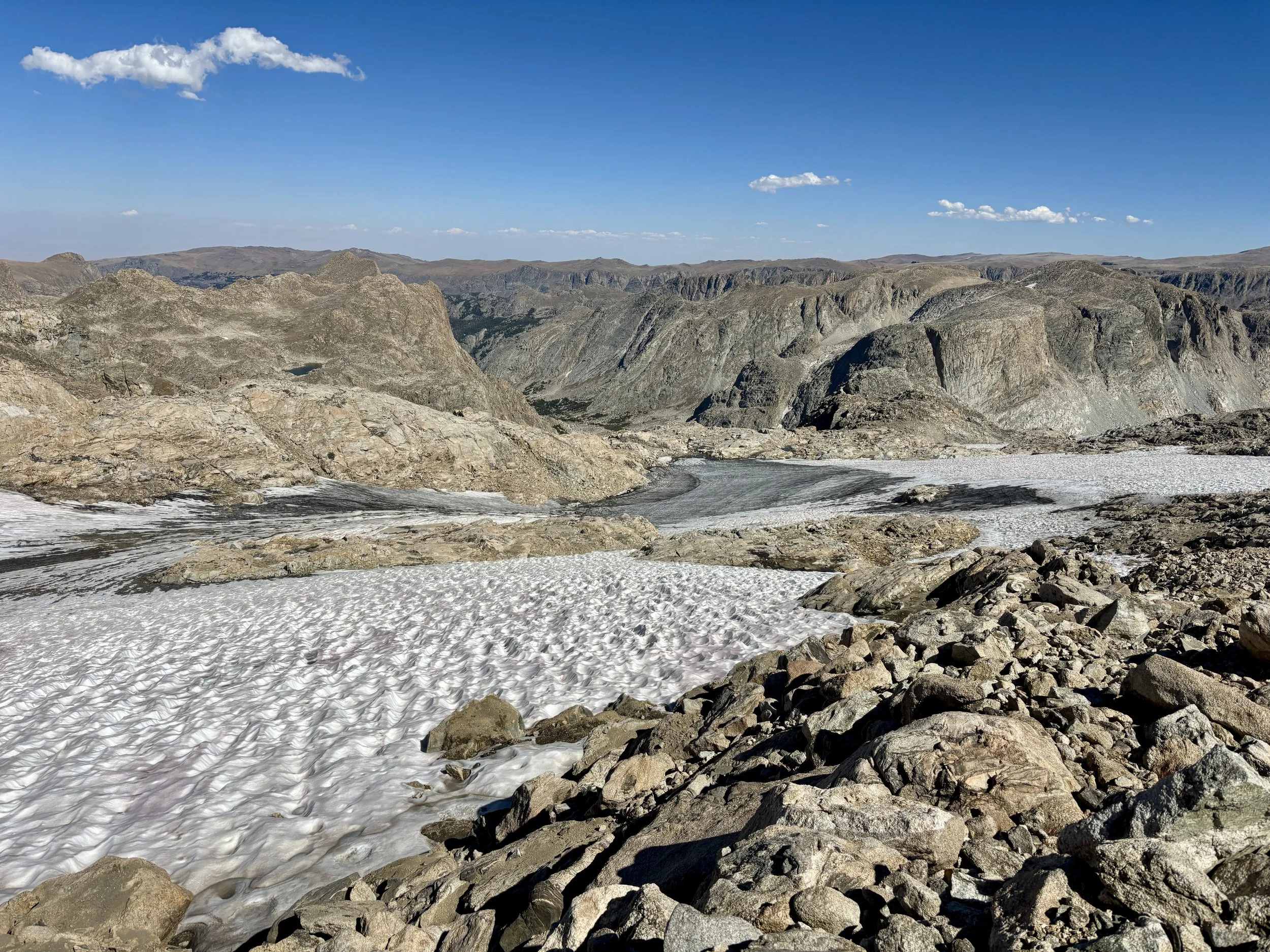
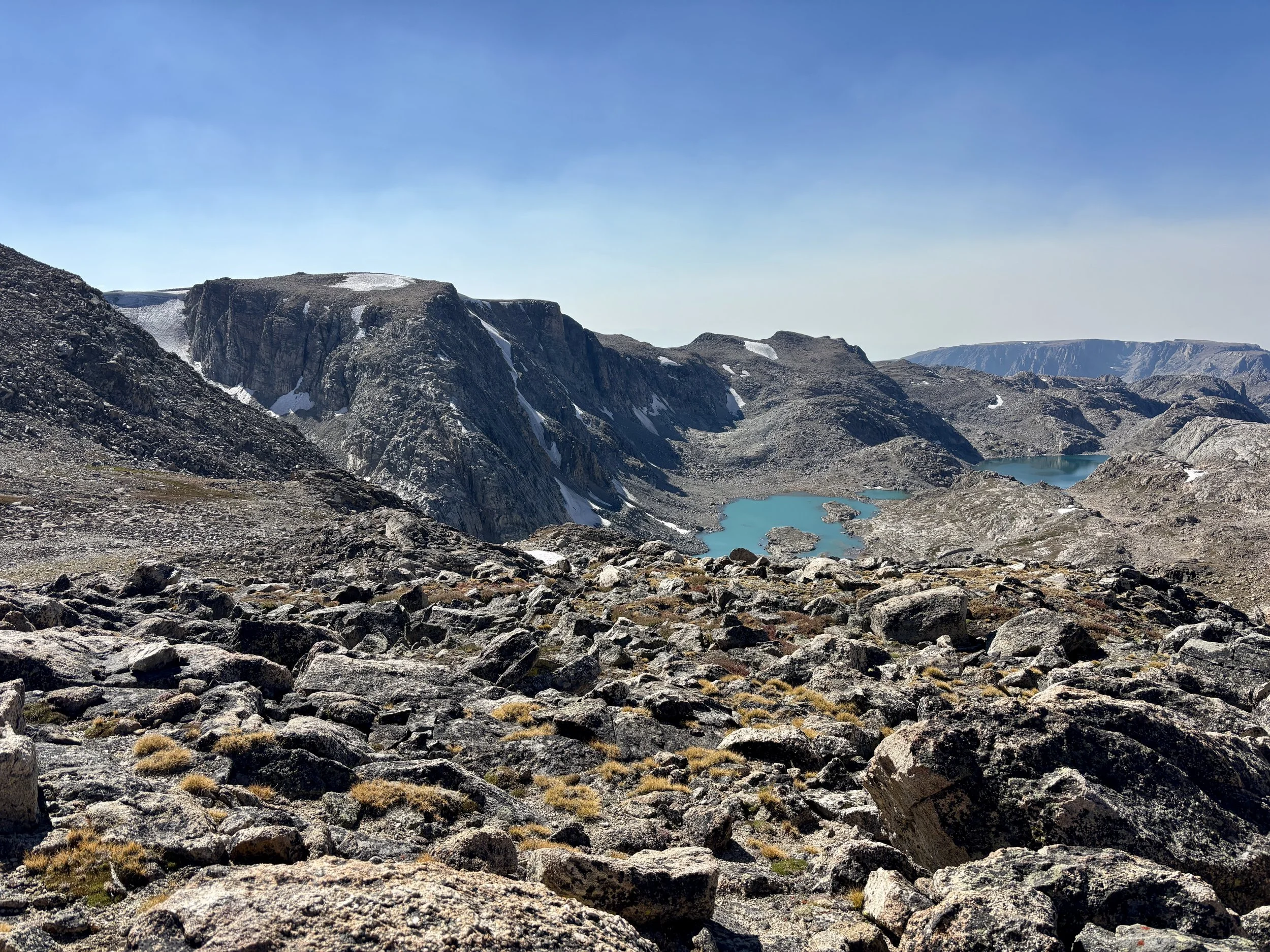
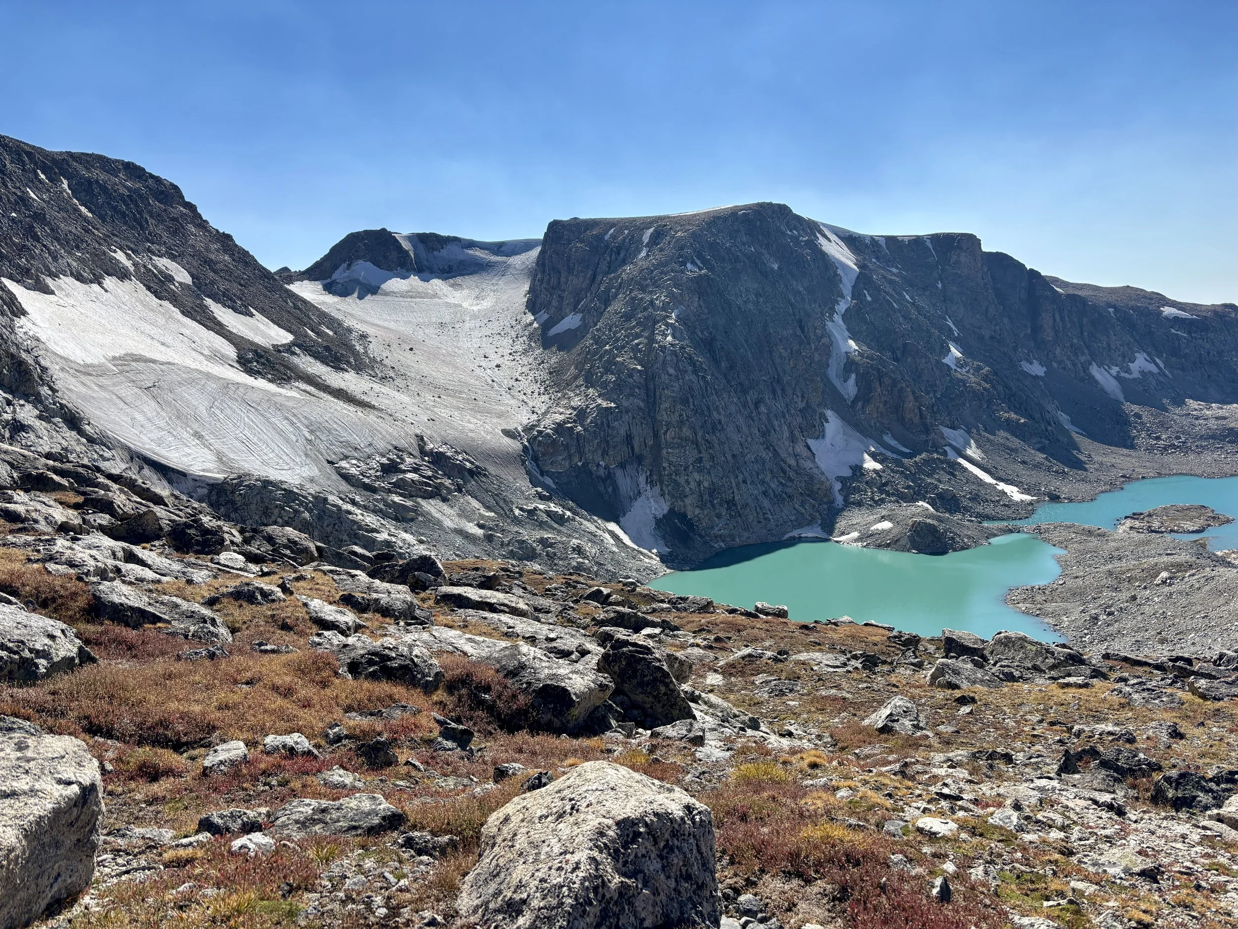
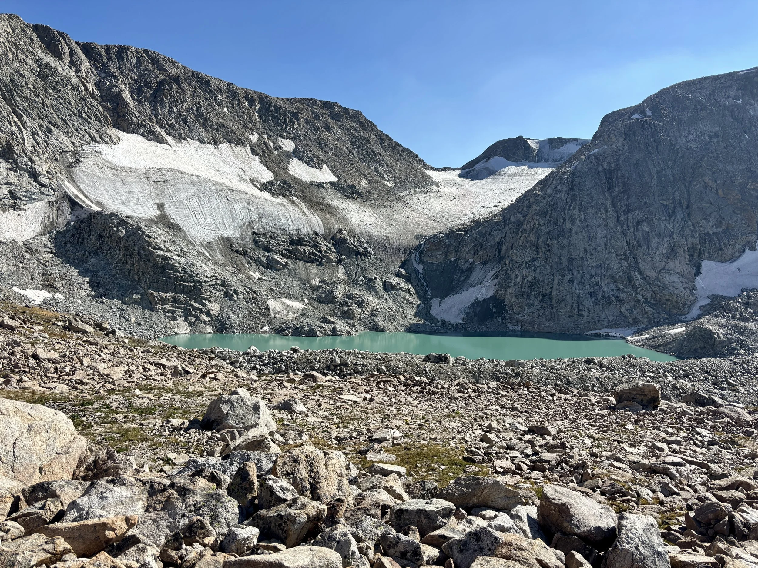
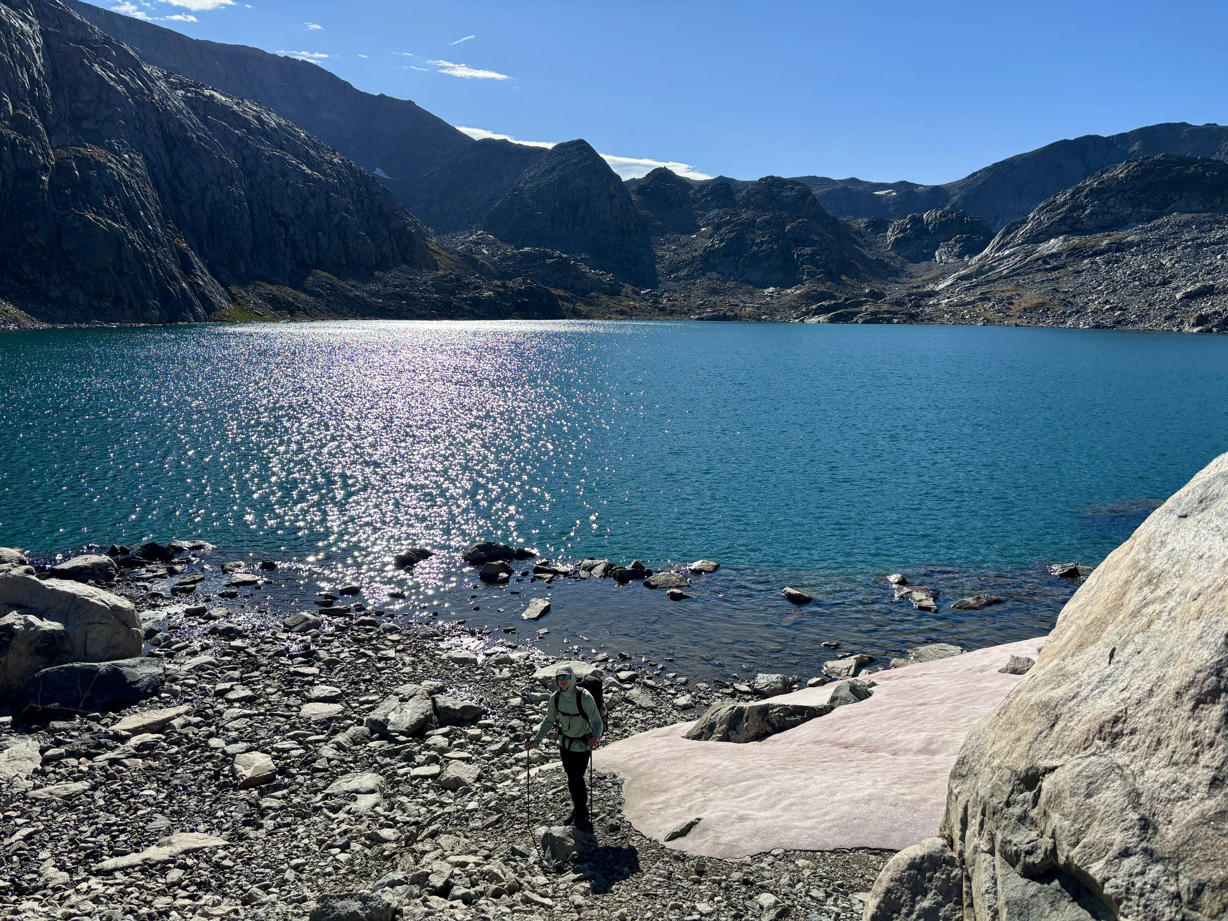
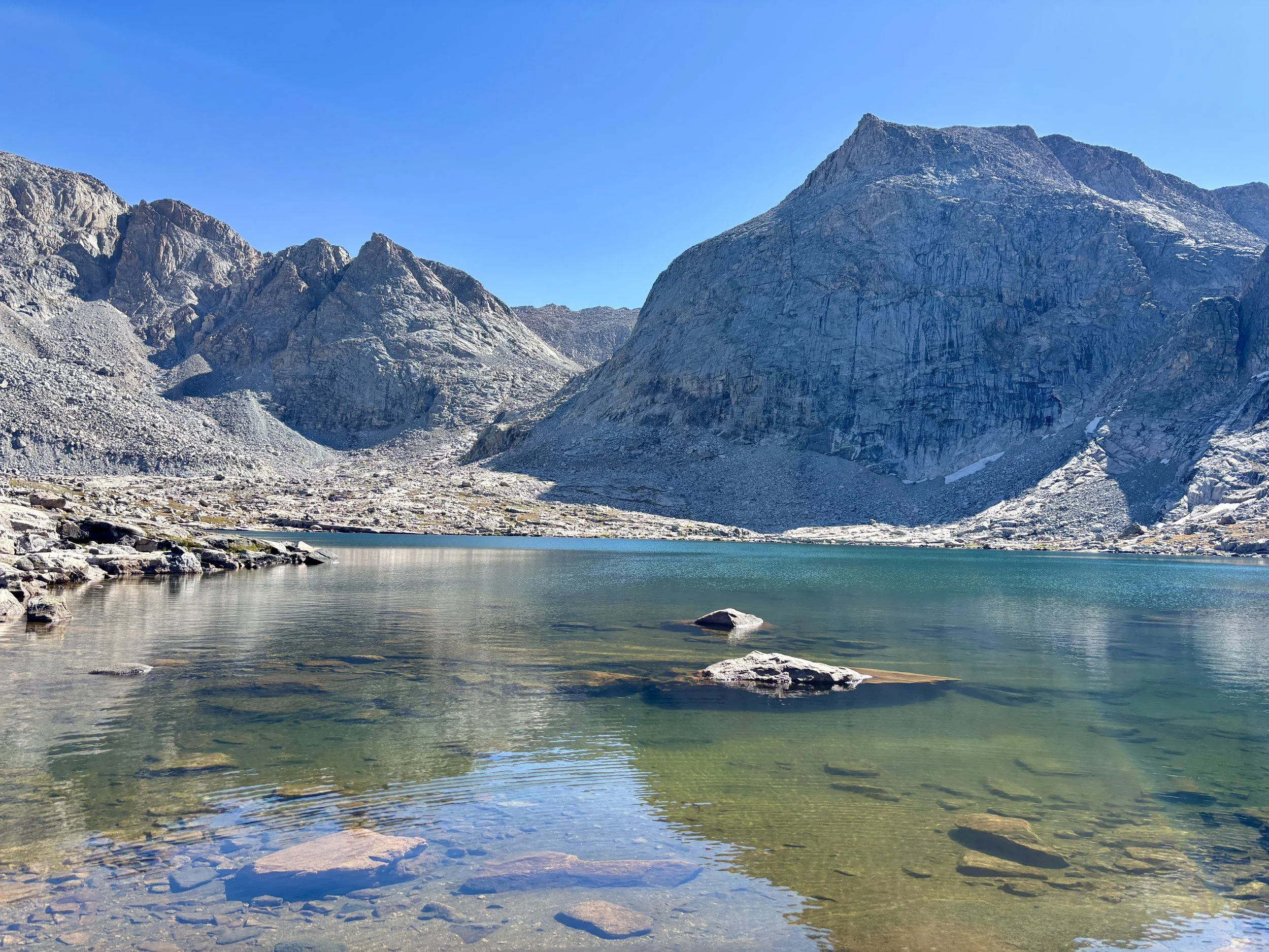
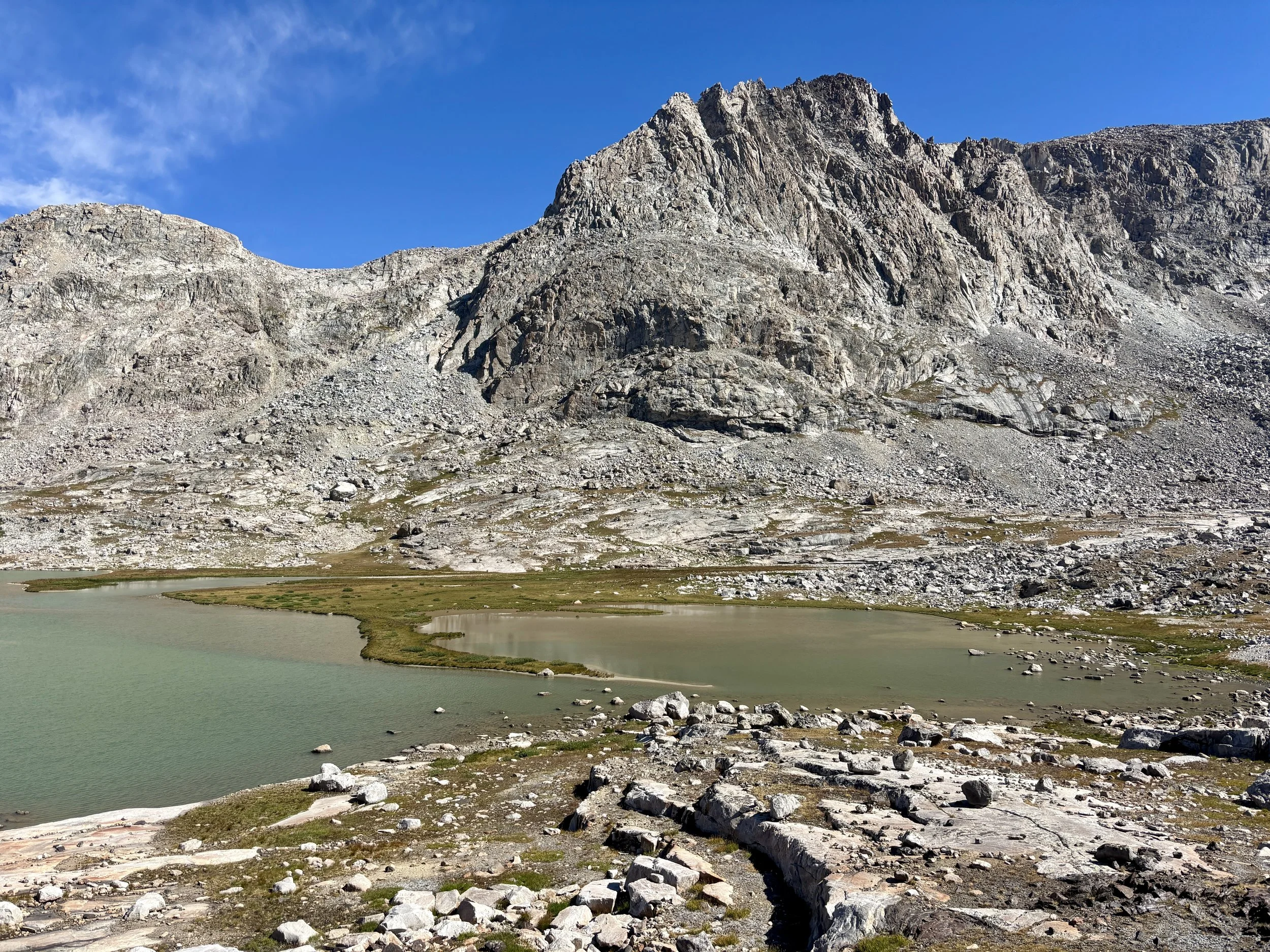
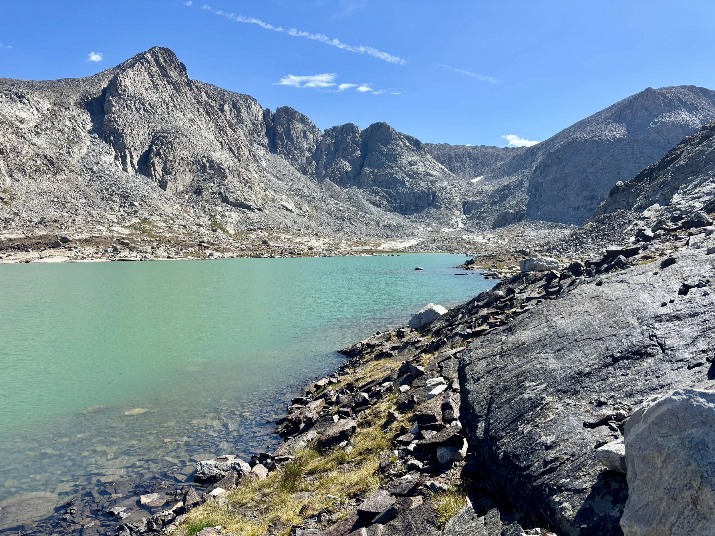
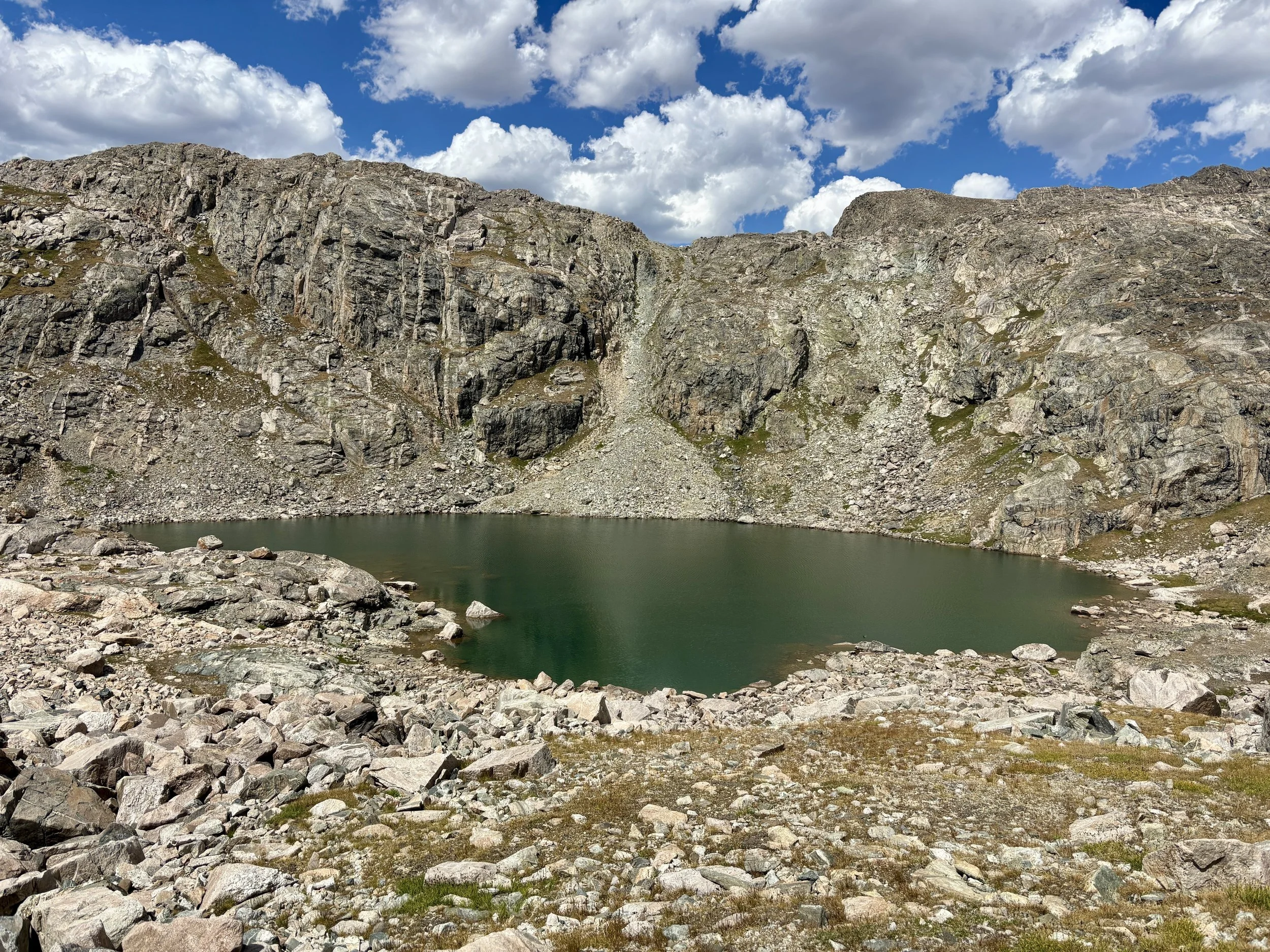
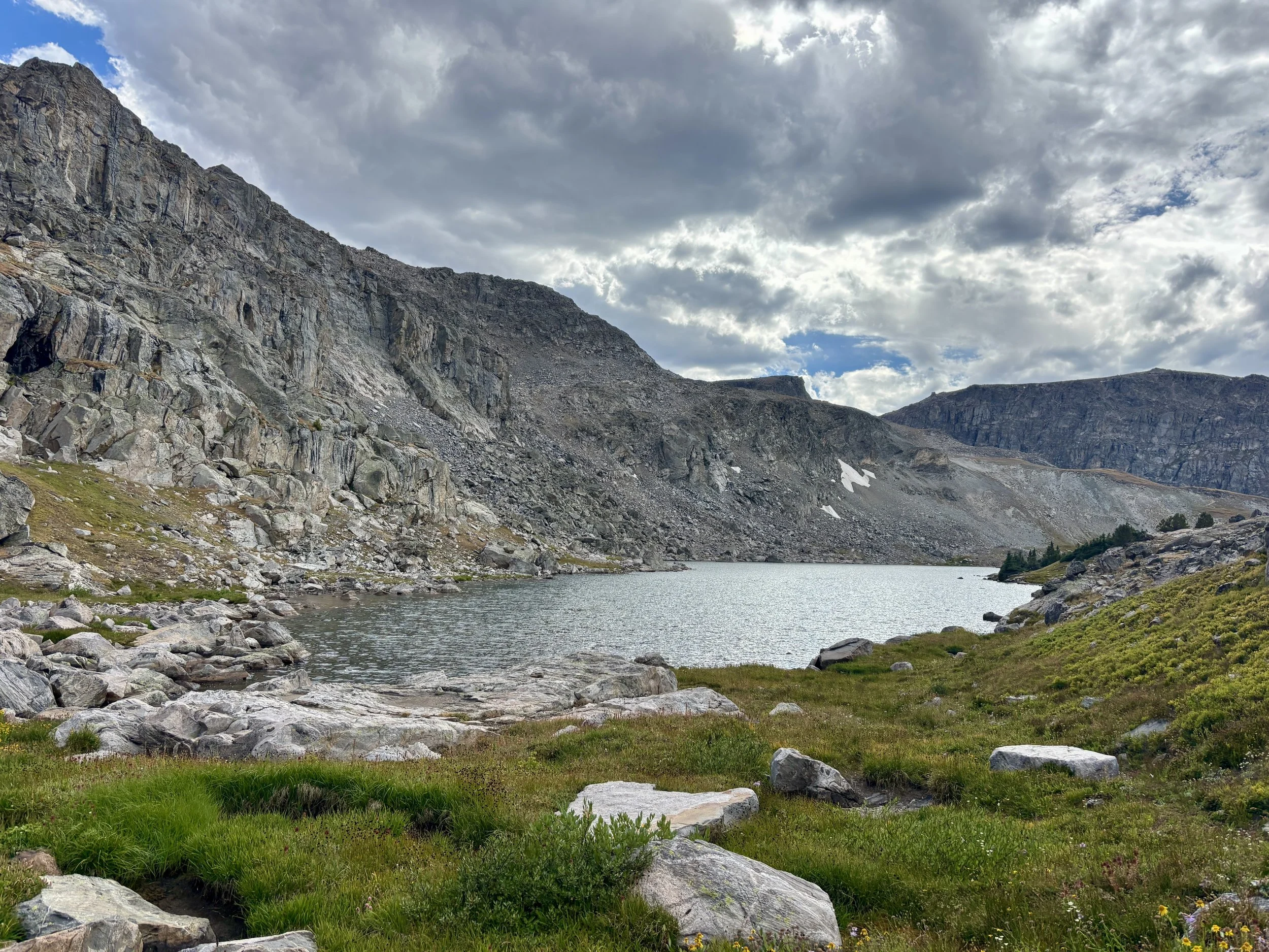
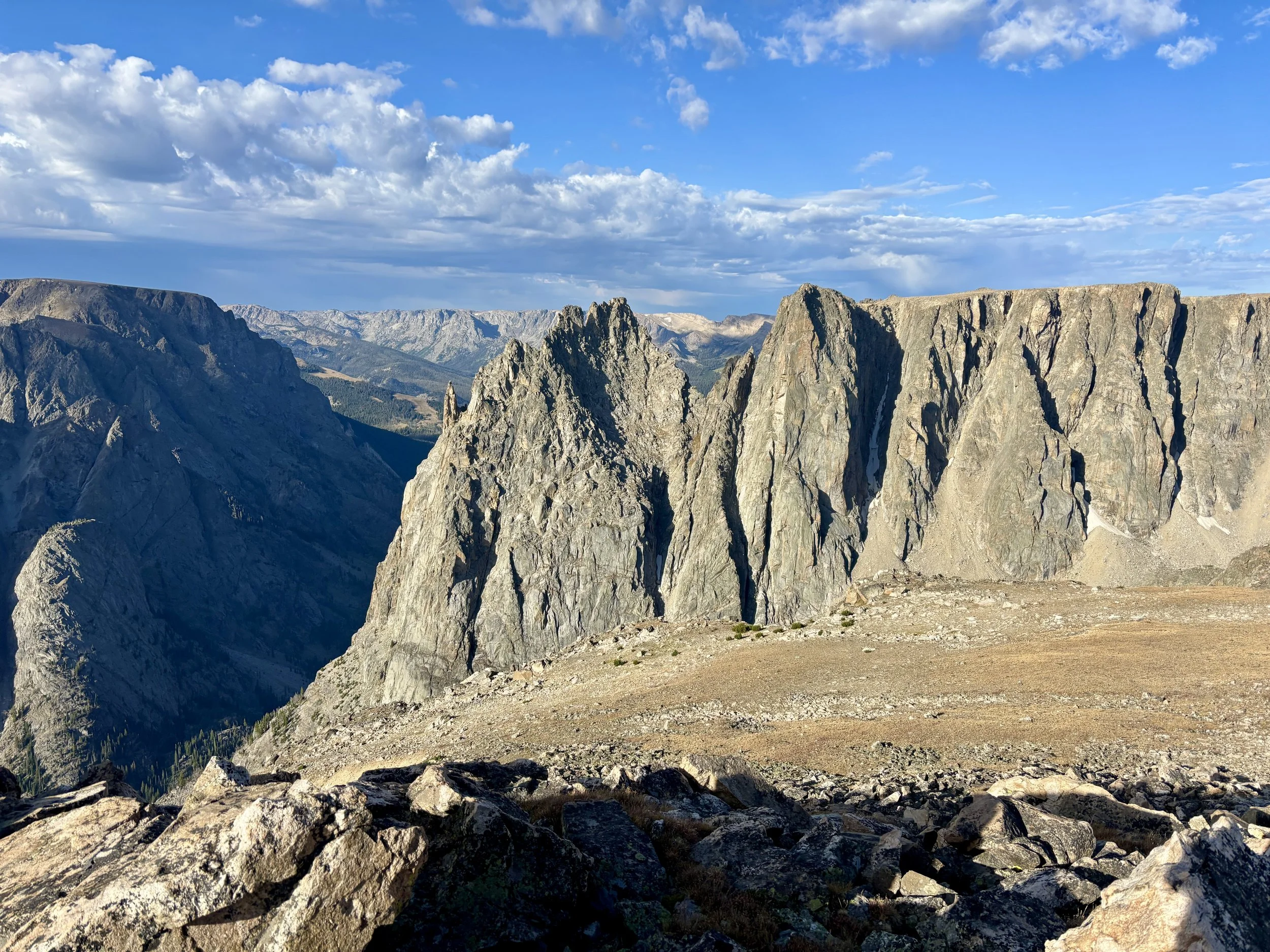
We started heading north along the divide and soon found ourselves getting glimpses of Sourdough Glacier. We checked out some viewpoints of the glacier as we made our way down to the saddle by Iceberg and Baker Lake. The color difference between the two lakes was pretty neat. We filled up on water at Baker Lake and discussed if we should camp there that night. It was still only mid afternoon and there wasn’t a cloud in the sky with minimal wind. We decided it would be foolish to pass up that kind of weather so we ended up continuing along the divide to the basin Connie Glacier is in. We dropped down into that basin and decided it was time to call it a day. We hadn’t seen anyone all day, but to our surprise, there were two people camping next to Lower Connie Lake. We picked a site closer to the outlet stream than the other tent.
Stats: 9.2 miles, 3000 ft of elevation gain.
Day 4
The next morning I was woken up by rain around 5:30am. The Garmin forecast from the night before said there was a 0% chance of rain on this day. My first thought was about how happy I was that we didn’t camp at Baker Lake near the Divide the night before and that we continued as far as we did as we had no plans to go back to the Divide that day. I fell back into a light sleep as I listened to the rain patter against our tent. We decided to start getting up around 7:00 with hopes that the rain wouldn’t last much longer. This thankfully ended up being the case and the rain had stopped by the time we were ready to get out of our tent. We packed up camp and made our way towards Kevin Lake. We worked our way around the lake and followed the outlet stream down towards a large, grassy basin that felt like it would have been a really nice place to camp. We then contoured up past Hourglass Lake and Rocking Horse Lake where we saw a group that had a pack raft with them that was paddling around the lake.
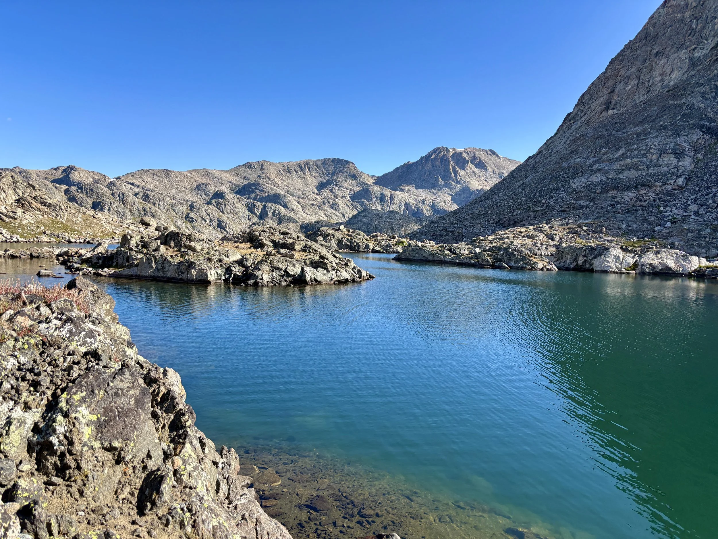
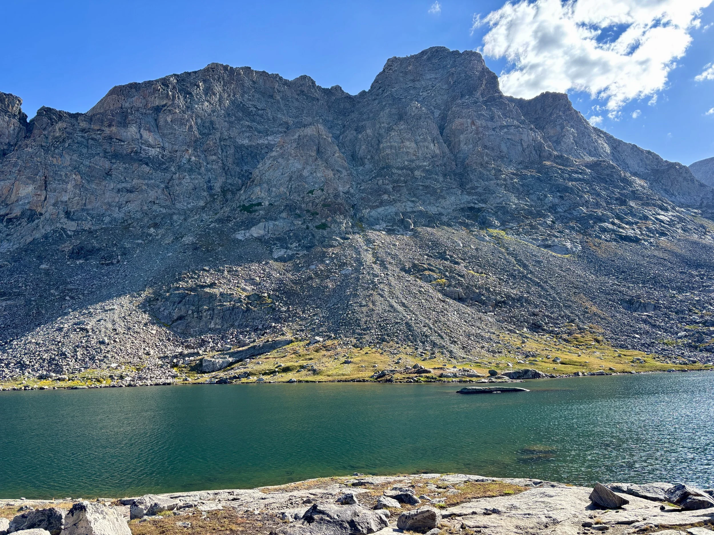
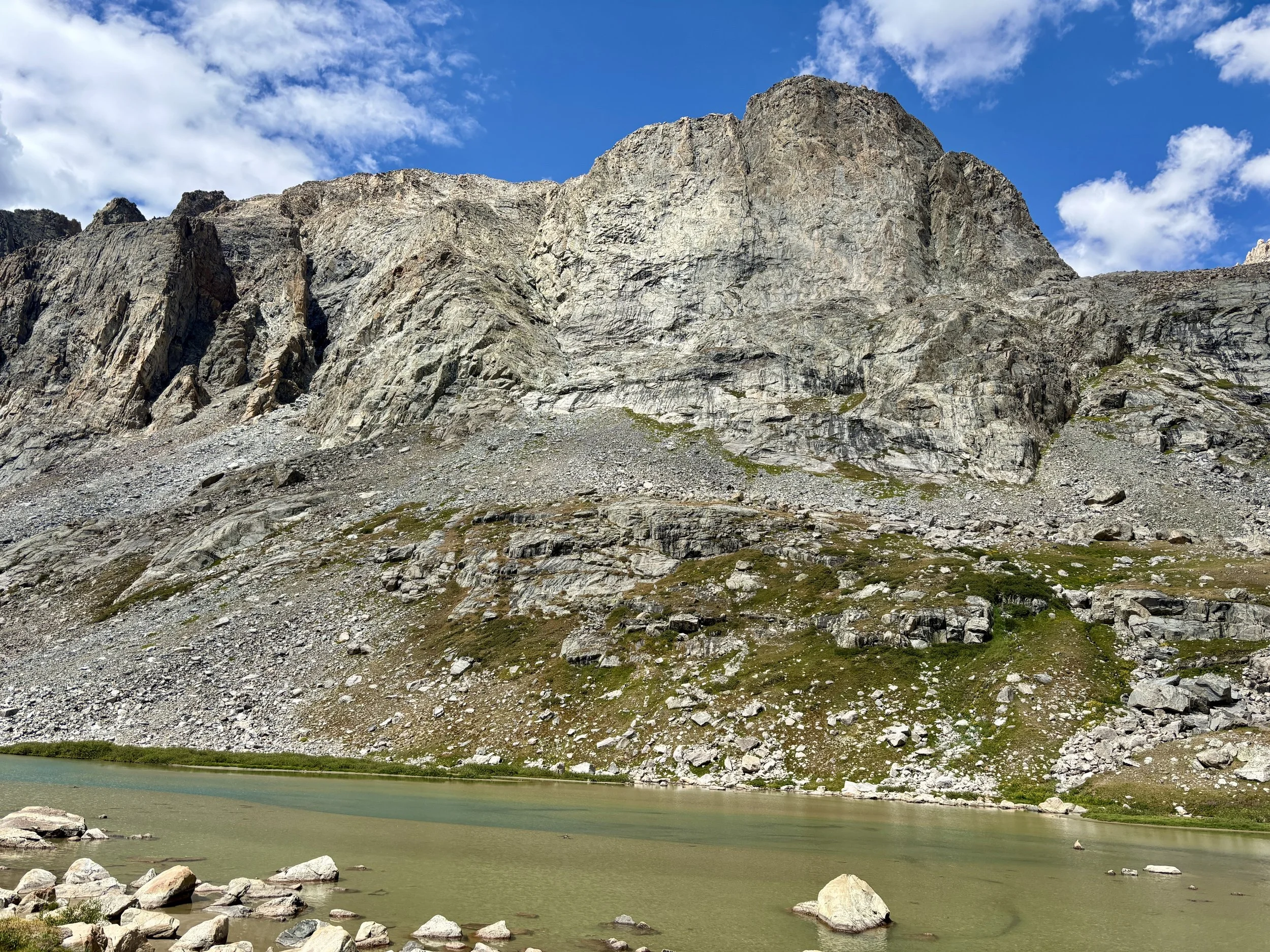
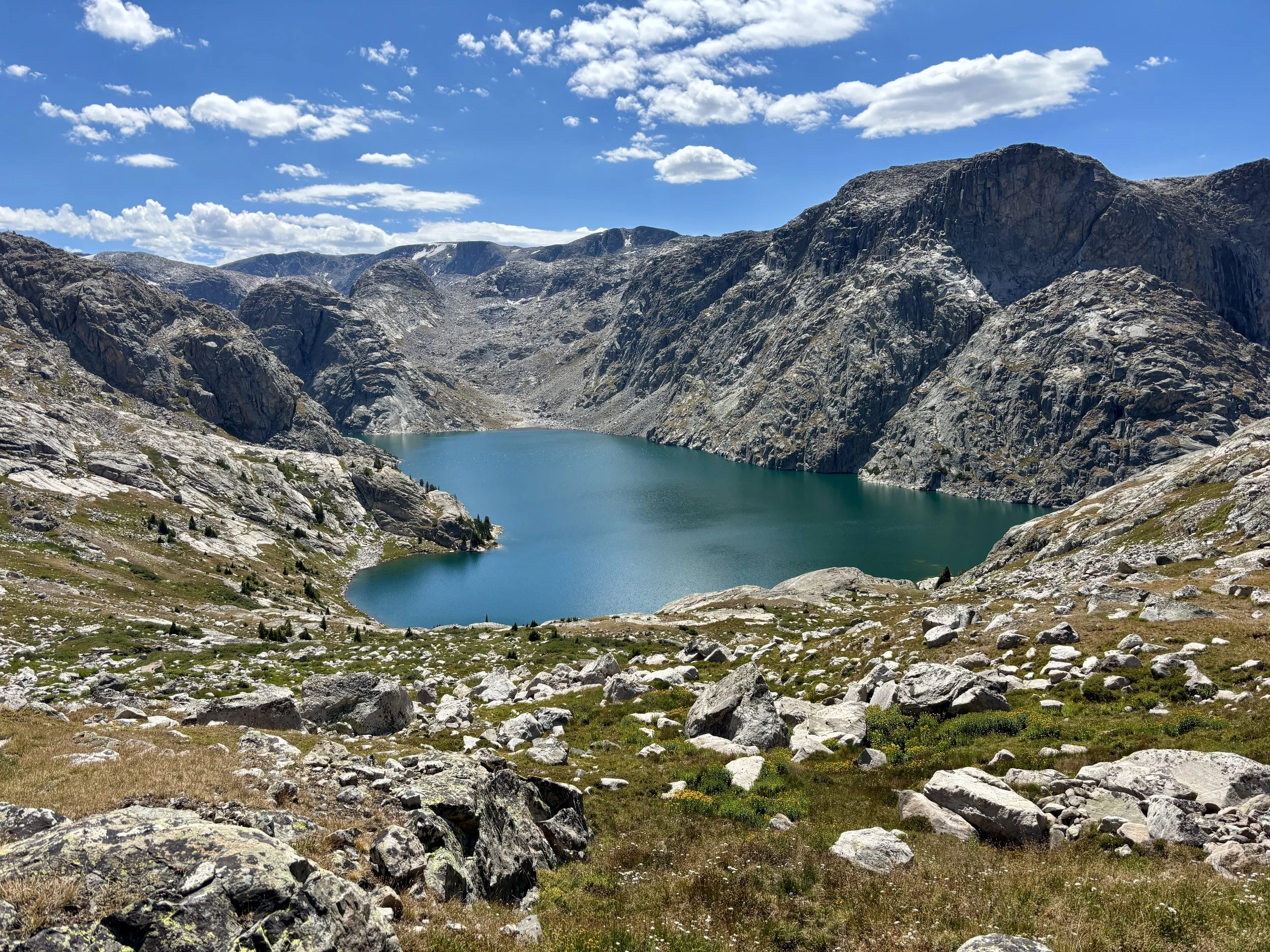
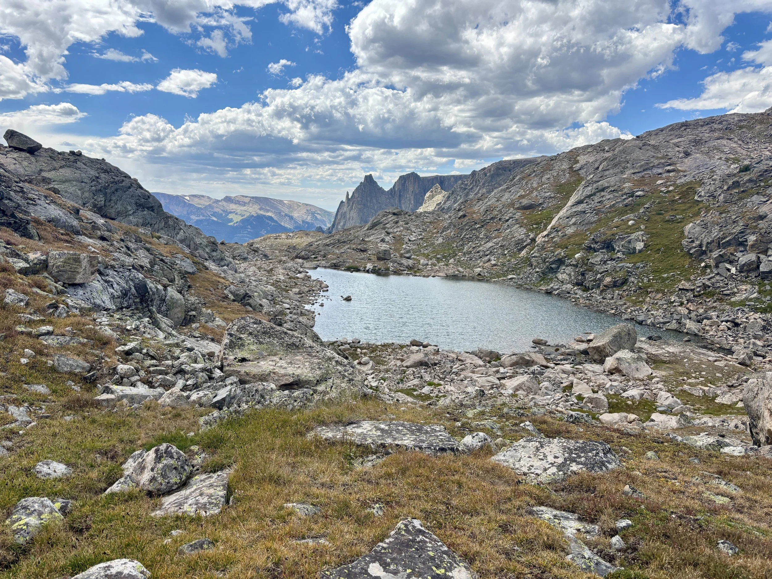
We eventually found ourselves high above Bear Lake, which was one of my favorite lakes of the trip. After taking a snack break with some beautiful views of the lake, we continued along a bunch a lakes on the bench above Faler Lake. I believe most of these lakes don’t have actual names. Navigating in this area was trickier than expected as it was easy to get disoriented. We also saw a bear in a drainage we were approaching and hoped to go in to. Needless to say, we did not go straight into the drainage and gave the bear a head start and then started making a lot of noise ourselves once we started moving again. Thankfully, we did not see the bear again. After a long day of walking, we found ourselves at Crescent Lake and camped near the outlet.
Stats: 8.5 miles, 1120 ft of elevation gain.
Day 5
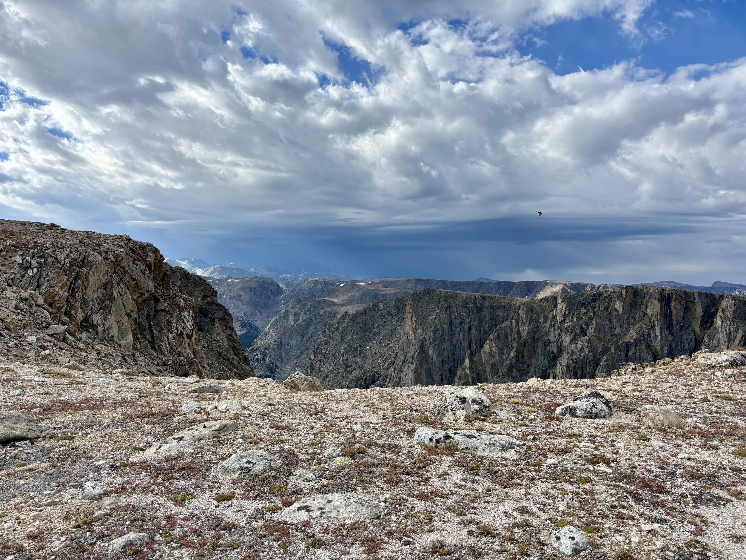
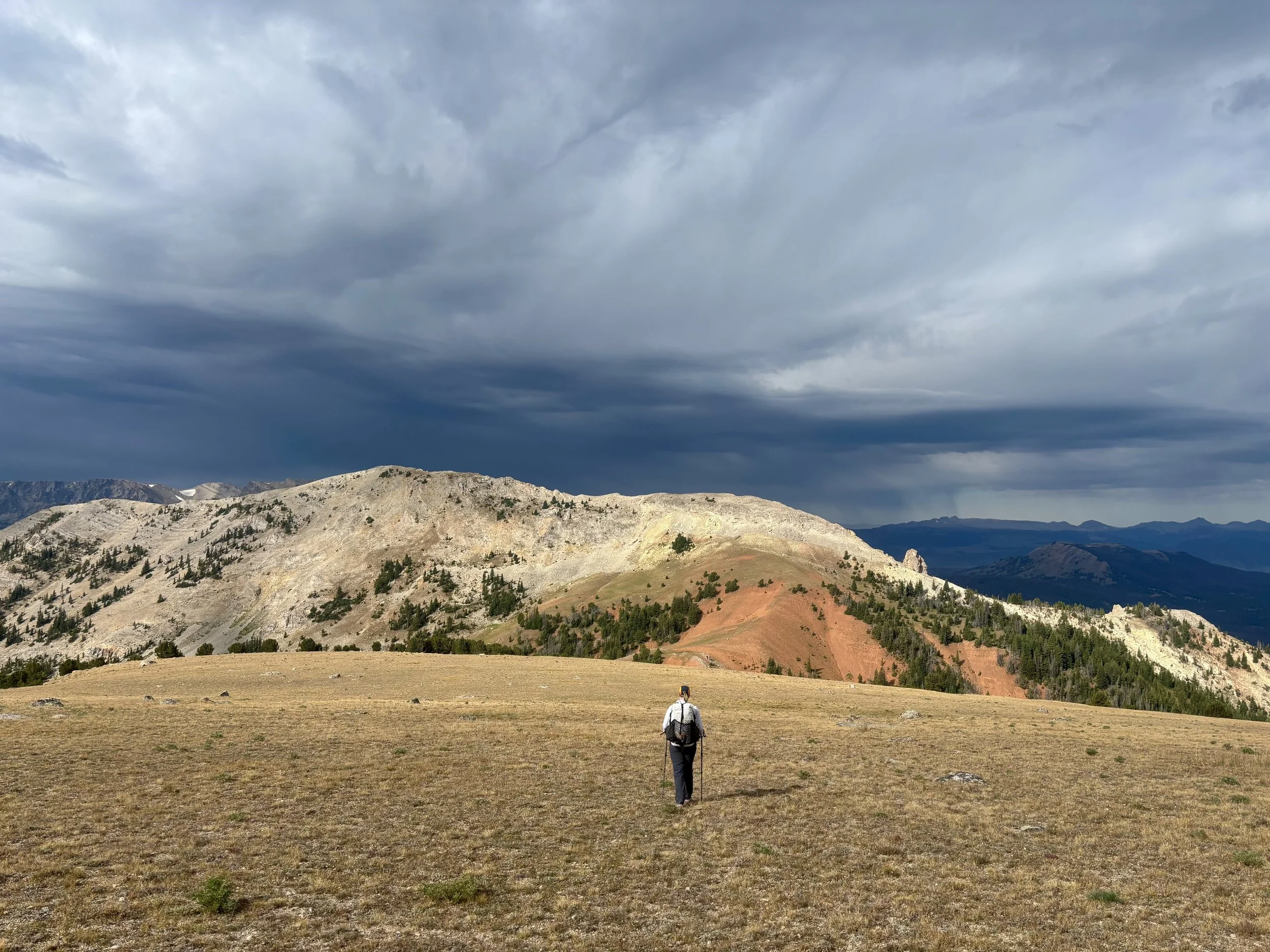
The previous night we updated the Garmin weather forecast, which once again called for no rain on Day 5 of our trip. So we went to bed feeling pretty good about our plan to exit via Osborn Mountain. We woke up that morning to rain once again. Uh oh! We decided to get ready to start the day and see what the sky looked like at that point and what the weather was doing. Once we were ready to start moving, from what we could see, the skies had cleared. So we decided it must be a similar weather pattern as the day before were we got a little bit of rain early in the morning and then it was clear the rest of the day. So we set out and began our ascent of Osborn Mountain. As we neared the top, we were able to see what the skies were doing to our west. They were pretty darn dark. It was clearly raining not far to the south. Immediately, my stomach sank. Should we turn around or continue on?
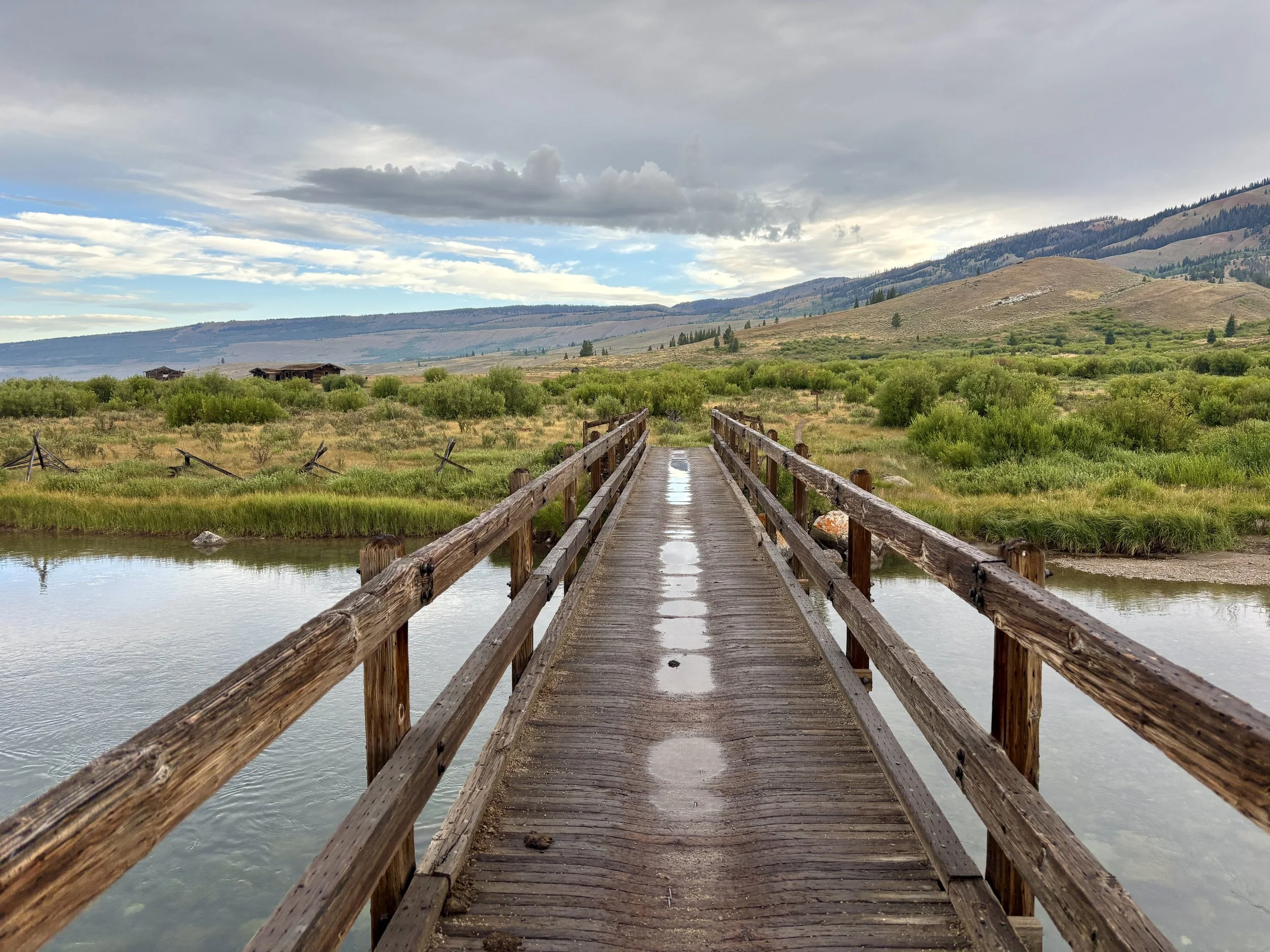
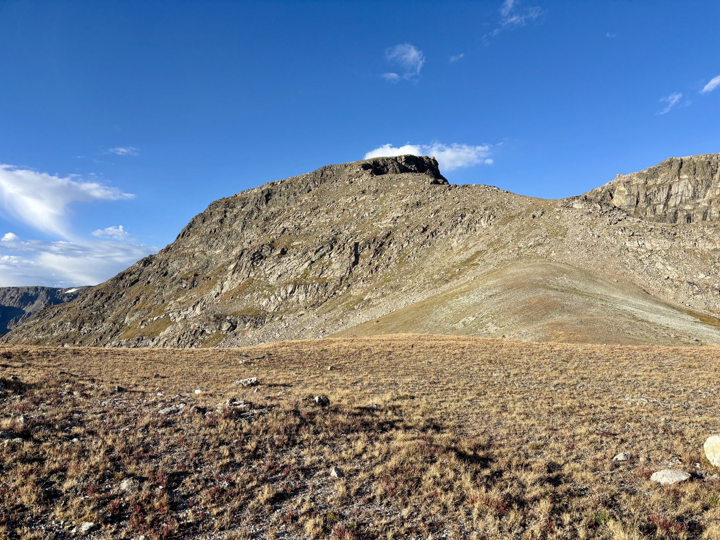
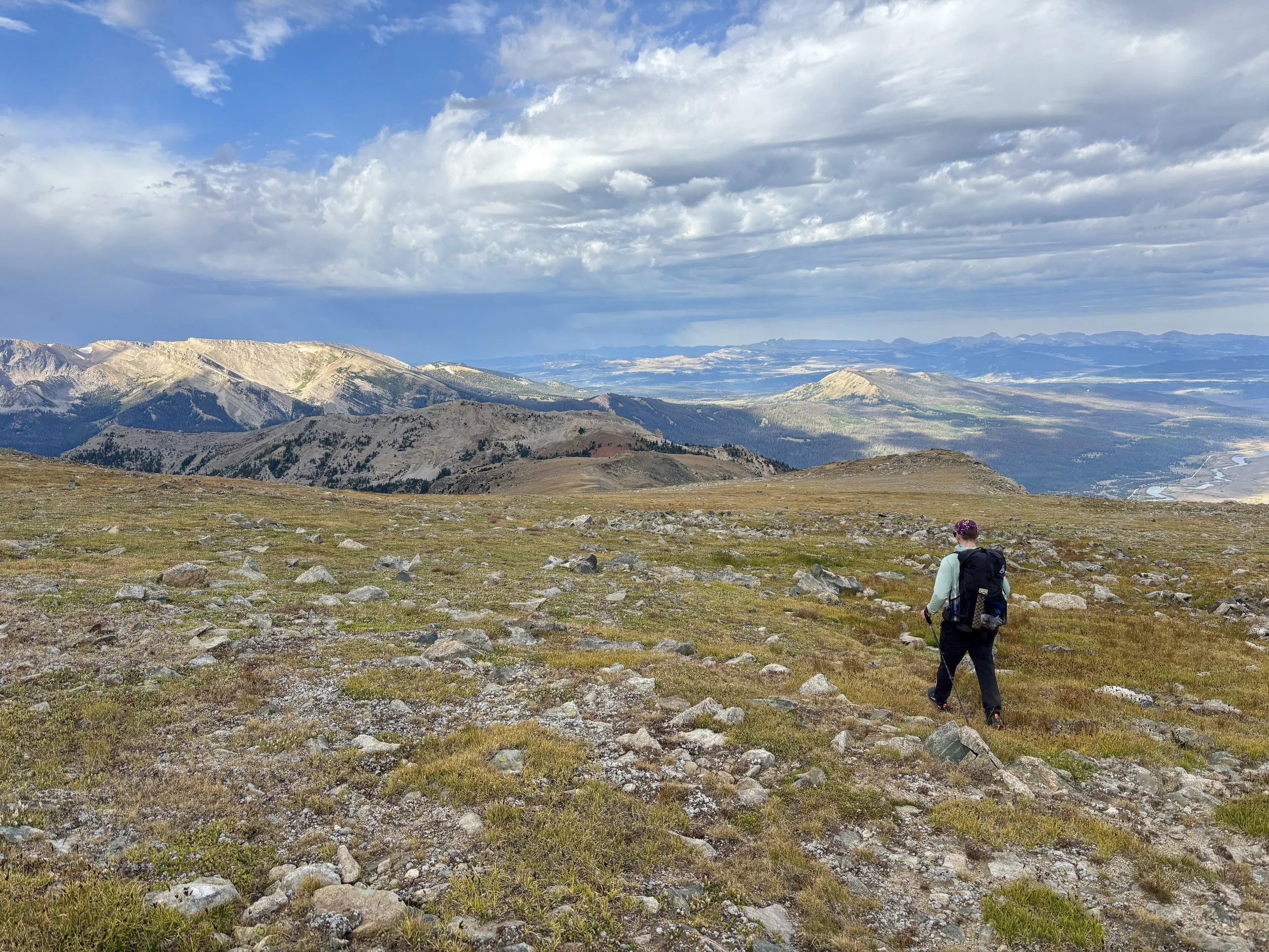
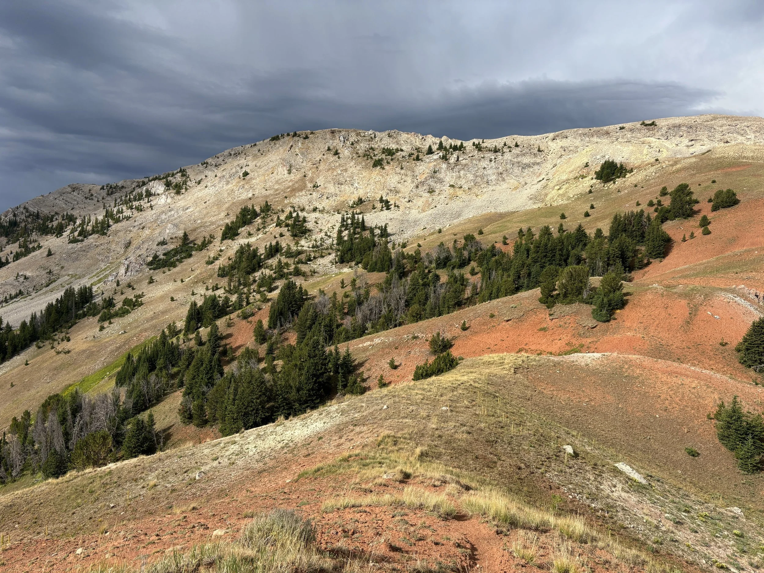
We decided we had some time before the potential rain would get to us so we decided to continue with our plan, but really pick up the pace. The top of Osborn Mountain is a big, wide open plateau. It’s really not a place you want to get caught in a thunderstorm. But, since it is so flat, it also allowed us to move pretty quickly, even at a light jog at times. Before any clouds were overhead, we found ourselves descending. Whew! We headed down the west side of Obsorn to a very red pass where we were able to finally get into the trees. Fifteen minutes later it started pouring on us. We found a large tree to try to stay dry under. After about 15 minutes, the rain subsided, and we were able to continue on our way. The sky was still pretty ominous so we knew we wanted to keep moving. We continued down on the ridge near Mill Creek until we hit the Highline Trail. Half of a mile later, we were crossing the bridge over the Green River that we had started the trek on 5 days ago.
Stats: 8 miles, 1250 ft of elevation gain.
Final Thoughts
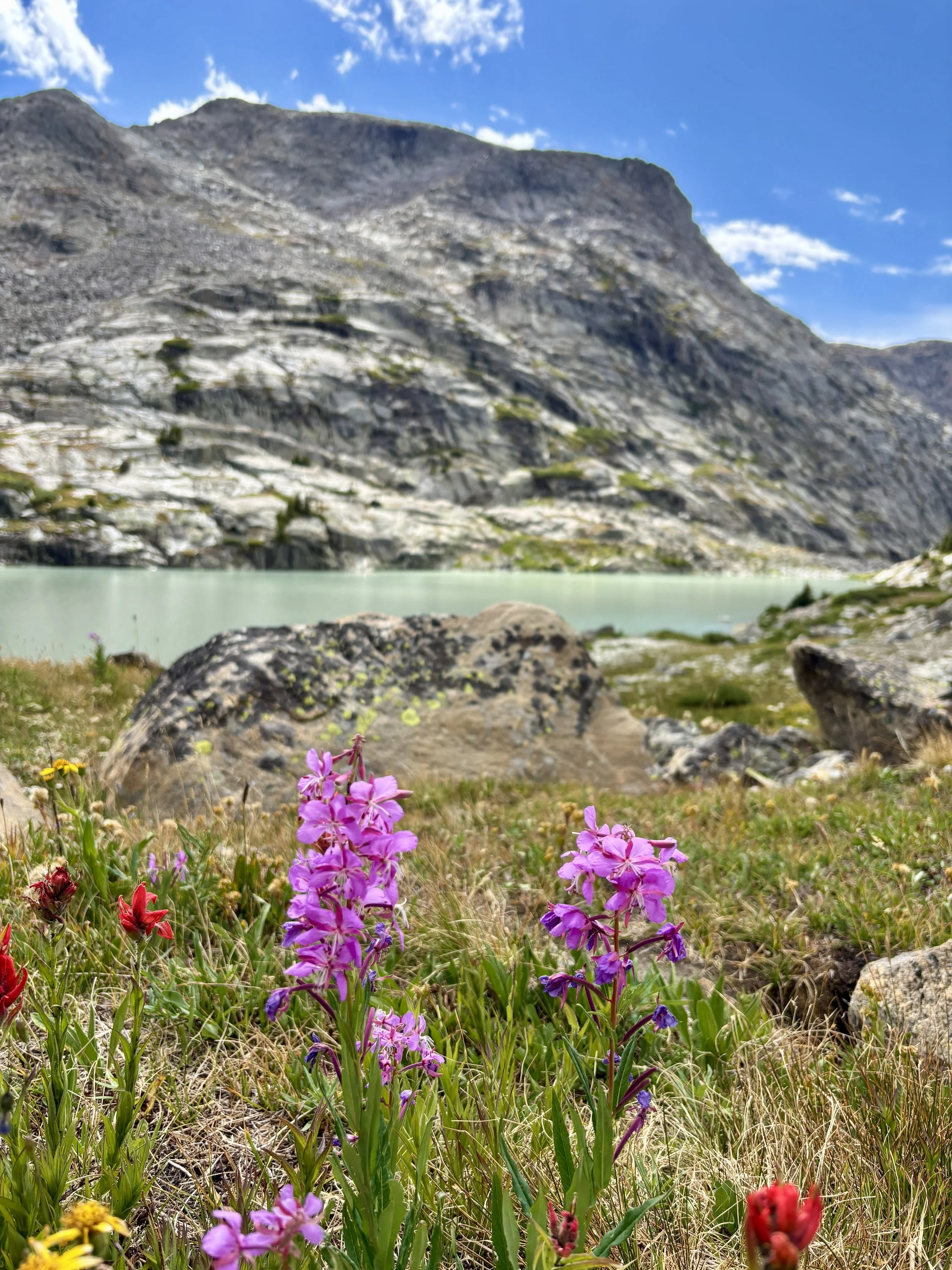
Overall, I had a fantastic time on this trip. The views were phenomenal, there were beautiful lakes around every corner, we saw tons of wildlife, found a tremendous amount of solitude, physically challenged ourselves, and put our off-trail navigation skills to the test. I don’t think I’ll ever get enough of the Winds, and I’m already planning my trip for next year.
Total stats: 46 miles, 10,000 ft of elevation gain.
Disclaimer: This website uses affiliate links, meaning: at no additional cost to you, I earn a small commission if you click-through and make a purchase. As an Amazon Associate I earn from qualifying purchases. I only feature products that I believe in and use myself. Your support means the world to me and allows me to host this website. Thank you!
Gear List
Compass: SUUNTO M-3 Compass
Emergency Communication Device: Garmin inReach Mini 2 *requires a subscription
First Aid Kit: Adventure Medical Kit *I have added items to this kit and would recommend tailoring a medical kit to your needs
Lighter: BIC Lighter
Emergency Blanket: SOL Emergency Blanket
Shell/Rain Jacket: REI Co-op XeroDry GTX Jacket
Headlamp: Black Diamond Equipment Spot
Multi Tool: Leatherman Squirt PS4 Multi Tool
Tent: Big Agnes Tiger Wall Platinum
Tent Footprint: Big Agnes Accessory Footprint for Tiger Wall UL
Backpack: Hyperlite Mountain Gear Junction 55
Water Filter: Sawyer Squeeze Water Filtration System
Stove: MSR PocketRocket 2 Ultralight Stove
Fuel: Jetboil Jetpower Fuel
Kettle: MSR Titan Ultralight Titanium Backpacking Kettle
Water Bottle: Platypus DuoLock SoftBottle Flexible Water Bottle
Spork: Sea to Summit Alpha Light Long Spork
WAG bags for human waste: Cleanwaste WAG bags
Sleeping Pad: Sea to Summit Ether Light XT
Pillow: Sea to Summit Aeros Premium Inflatable Travel Pillow
Sleeping Bag: Sea to Summit Flame Women’s Ultralight Down Sleeping Bag
Shirt: Patagonia Capilene Cool Daily Hoodie
Pants: Black Diamond Womens Alpine Light Pants
Socks: Darn Tough Hiker Micro Crew Midweight Sock with Cushion
Underwear: Smartwool Intraknit Hipster Bikini
Sunglasses: Smith Bobcat
Toothbrush: GUM Travel Toothbrush
Toothpaste: SuperBee Dentos Toothpaste Tablets
Hairbrush: Folding Hairbrush
Body Wipes: Pampers Sensitive Water Based Hypoallergenic and Unscented Baby Wipes
Trekking Poles: REI Co-op Flash Carbon Compact Trekking Poles
Camp shoes: Xero Shoes Women’s Z-trail Ev
Mug/cup: GSI Outdoors Infinity Backpacker Mug
Towel: REI Co-op Multi Towel Mini
Power Bank: Nitecore NB10000 Gen II Ultra-Slim Power Bank
Packing Cubes: Eagle Creek Packing Cubes
Chair: Helinox Chair Zero Ultralight Compact Camping Chair
Mosquito Head Net: Sea to Summit Ultra-Mesh Mosquito Head Net
Knife: LEATHERMAN Skeletool KBX Pocket Multitool with Knife and Bottle Opener

