Mount Daniel, Alpine Lakes Wilderness, Cle Elum, Washington
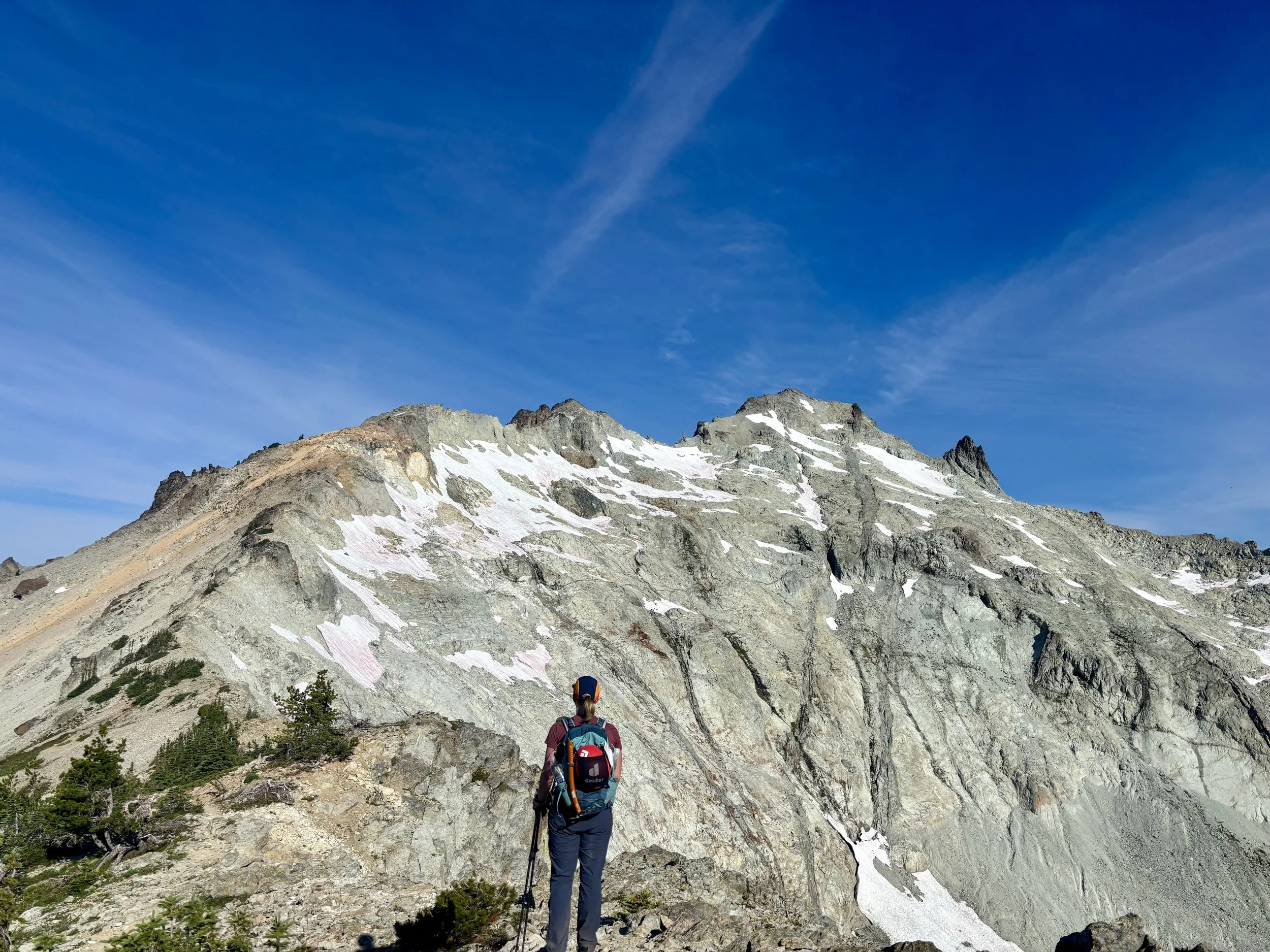
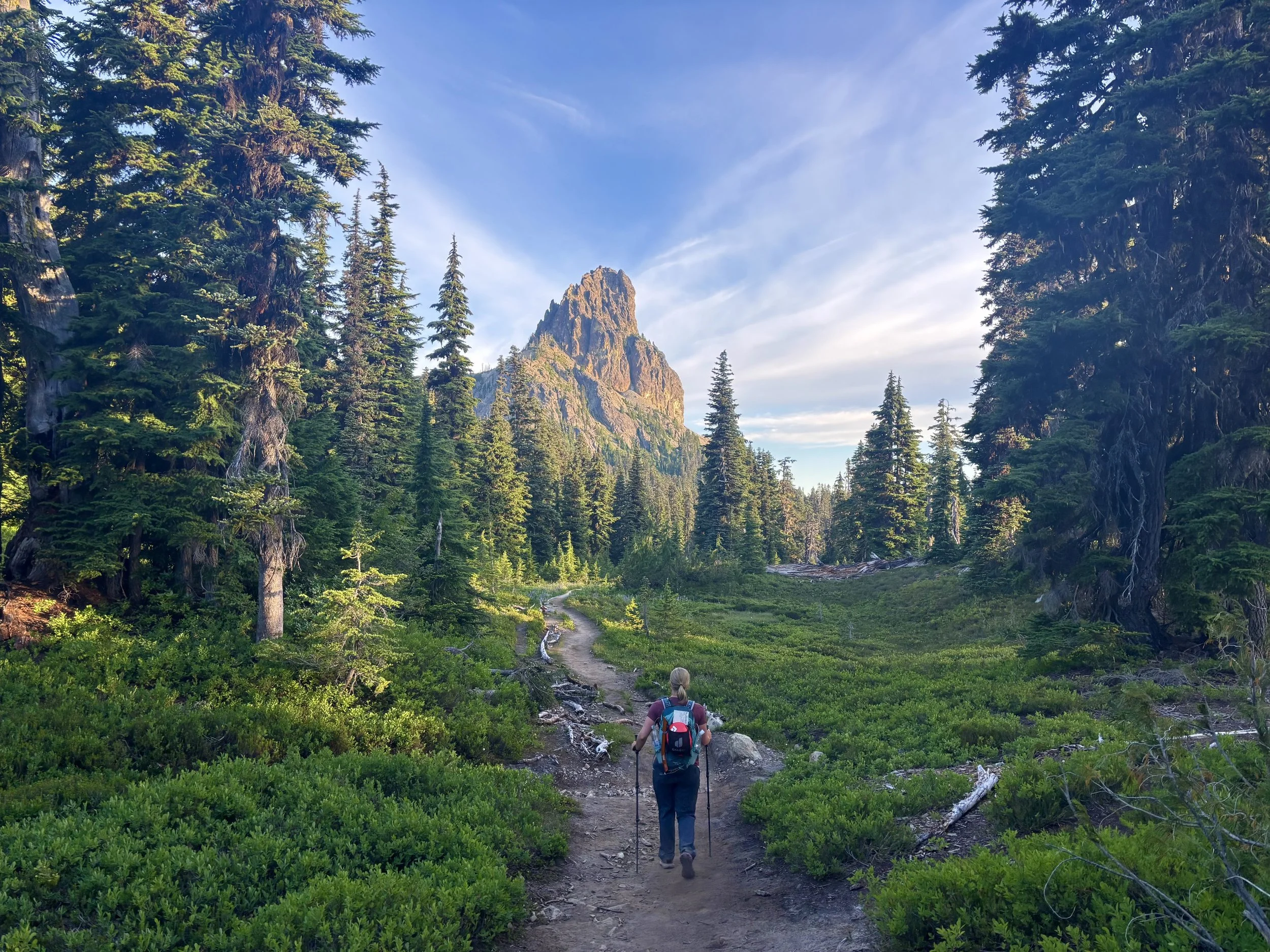
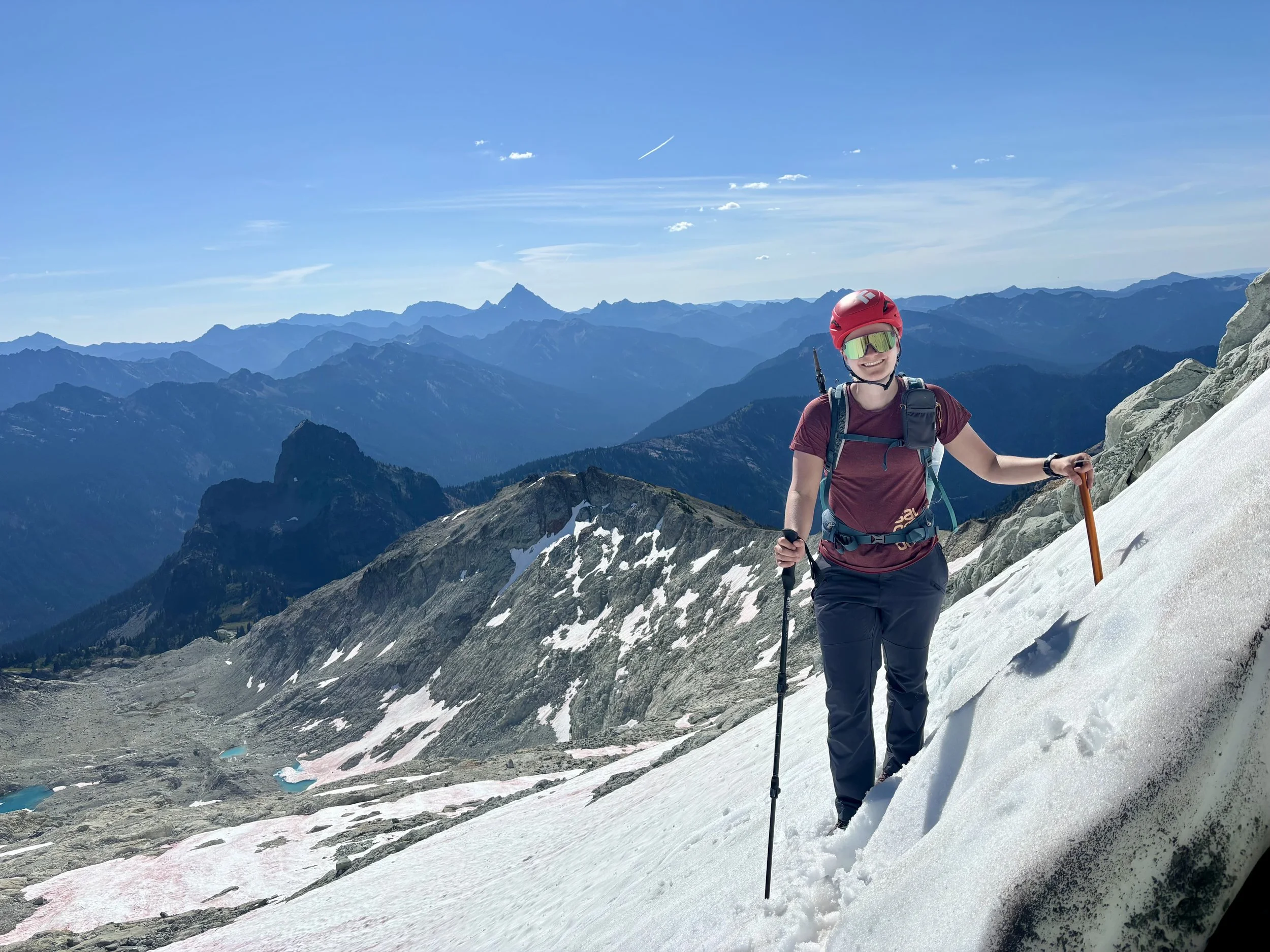
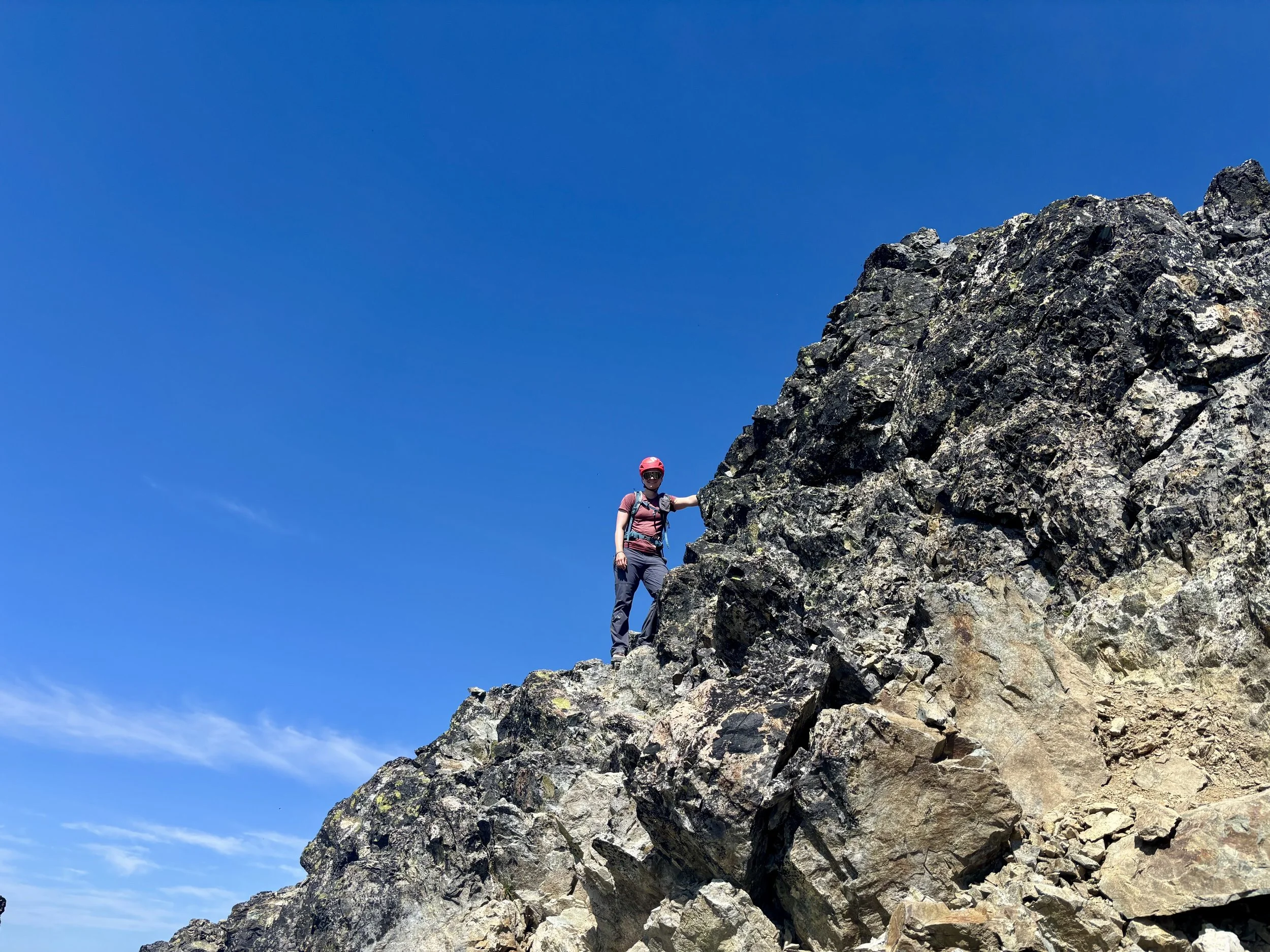
Krista looking towards Mount Daniel
Disclaimer: This hike involves glacier travel and/or rock climbing, which are inherently dangerous. This blog post does not include formal instruction of any kind. Please make sure you have the appropriate skills and knowledge before attempting this hike.
I was hoping to do one more big hike on our Washington trip and a mountain that caught my eye from the top of Ingall’s Peak was Mount Daniel. We decided it would be a great peak to round out our Washington adventure with.
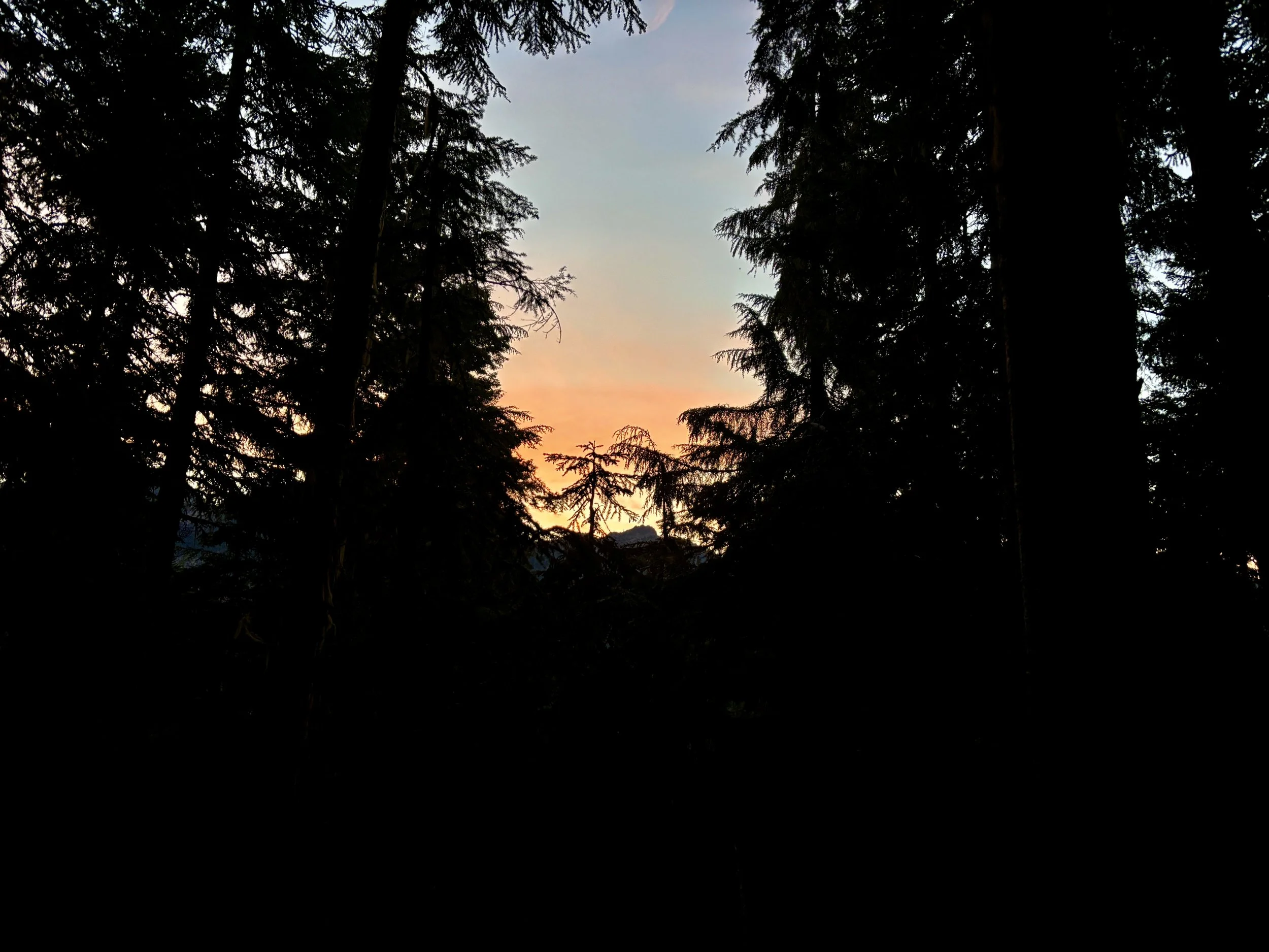
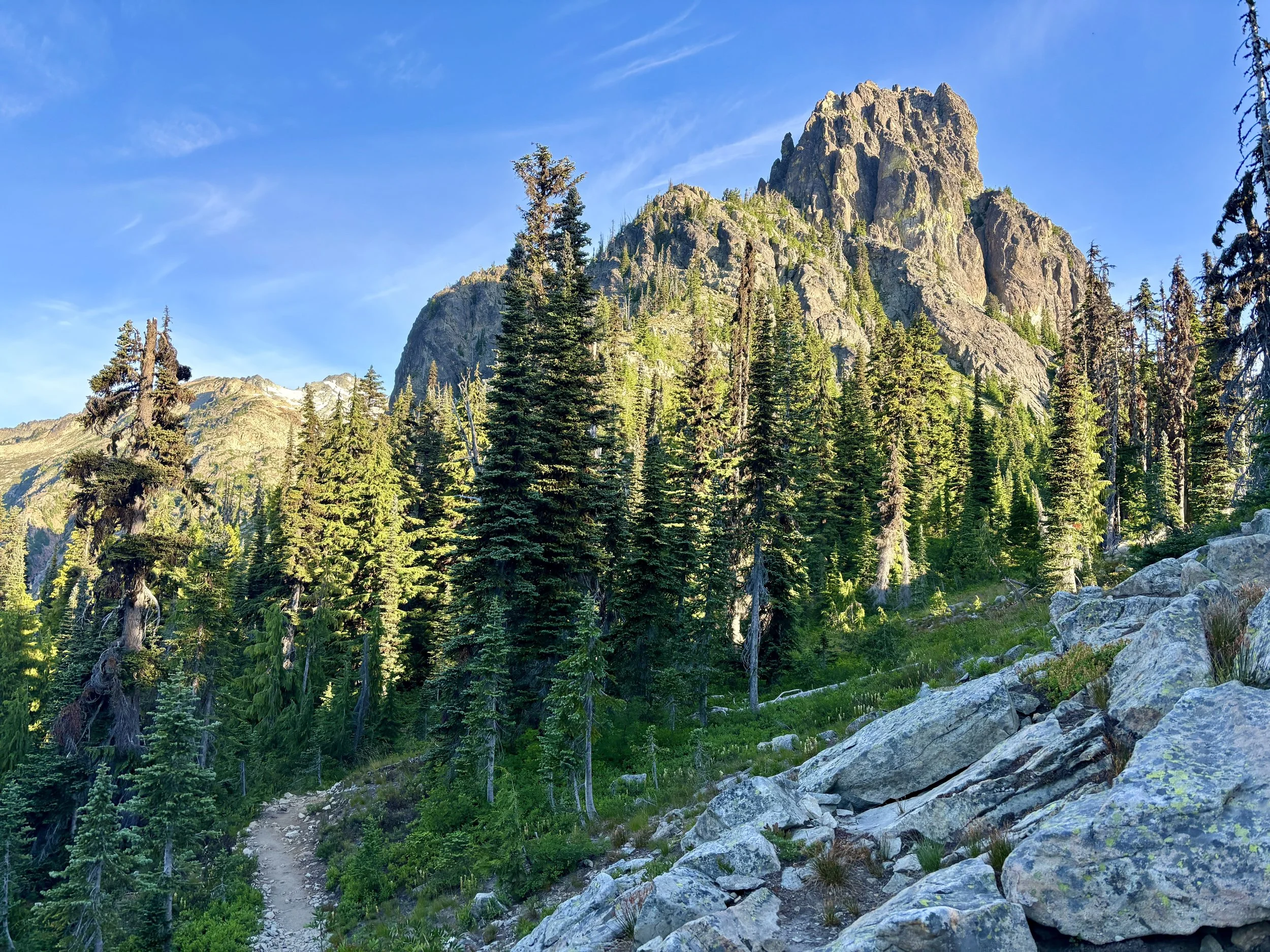
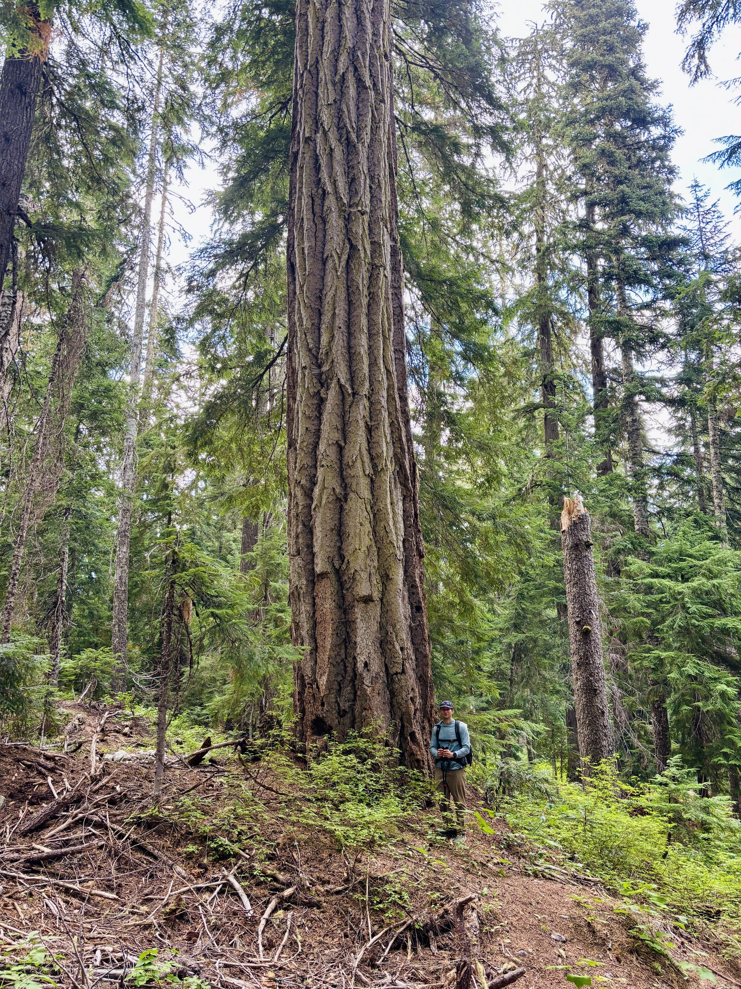
With the forecast calling for a 30% chance of rain after 11 am, we decided to get an early start and left the trailhead at 5 am. We walked in the dark with headlamps for about 30 minutes before we didn’t need them anymore. The first several miles of trail are in the woods and the trail is composed of big switchbacks. Turns out spiders also love this trail and if you are the first people down it, you will be covered from head to toe in spiderwebs. I think in the first 1,000 ft of elevation gain, I walked through 1,000 spiderwebs. I don’t think I’ve ever hiked a trail where the spiderwebs were that bad.
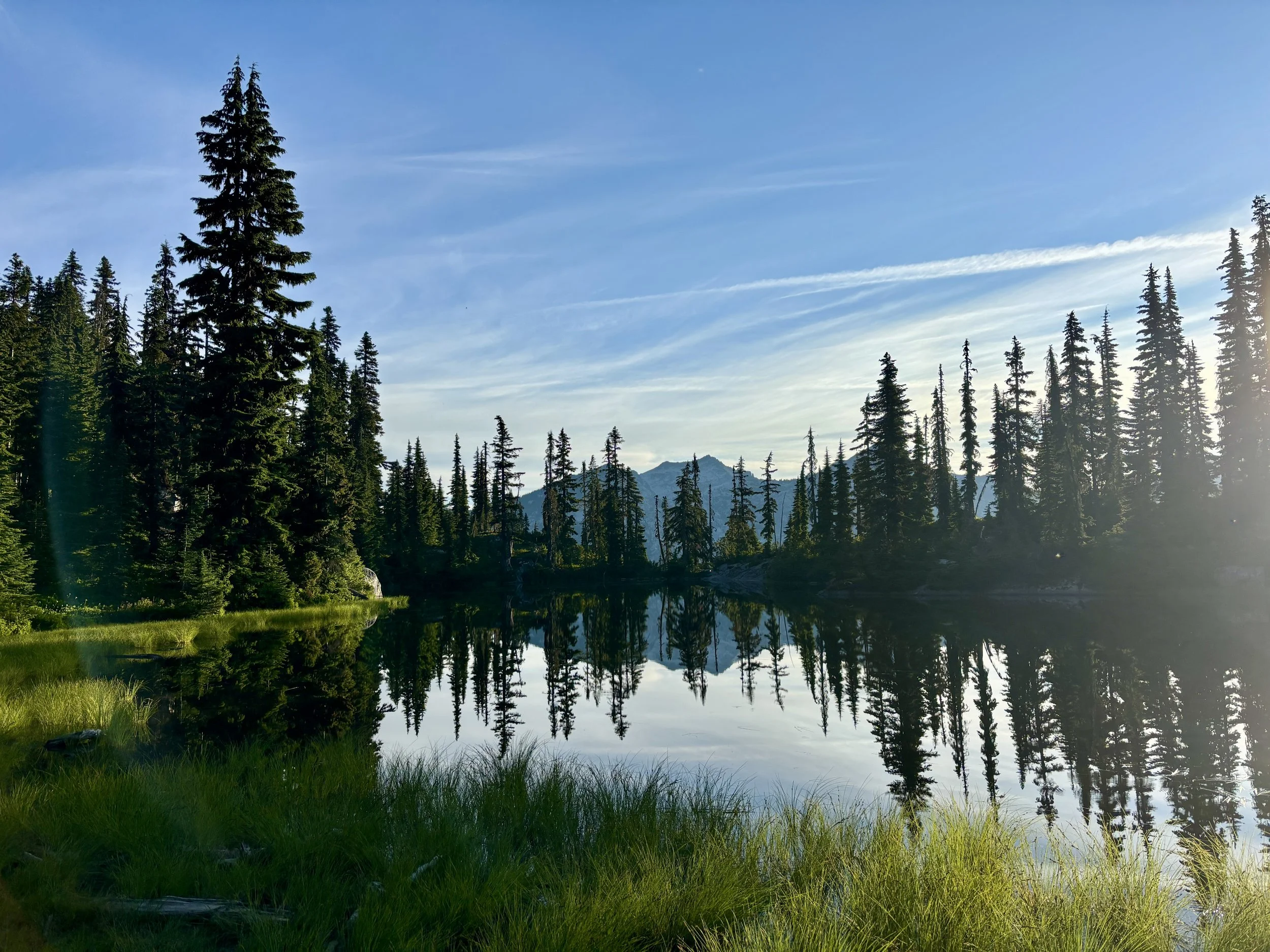
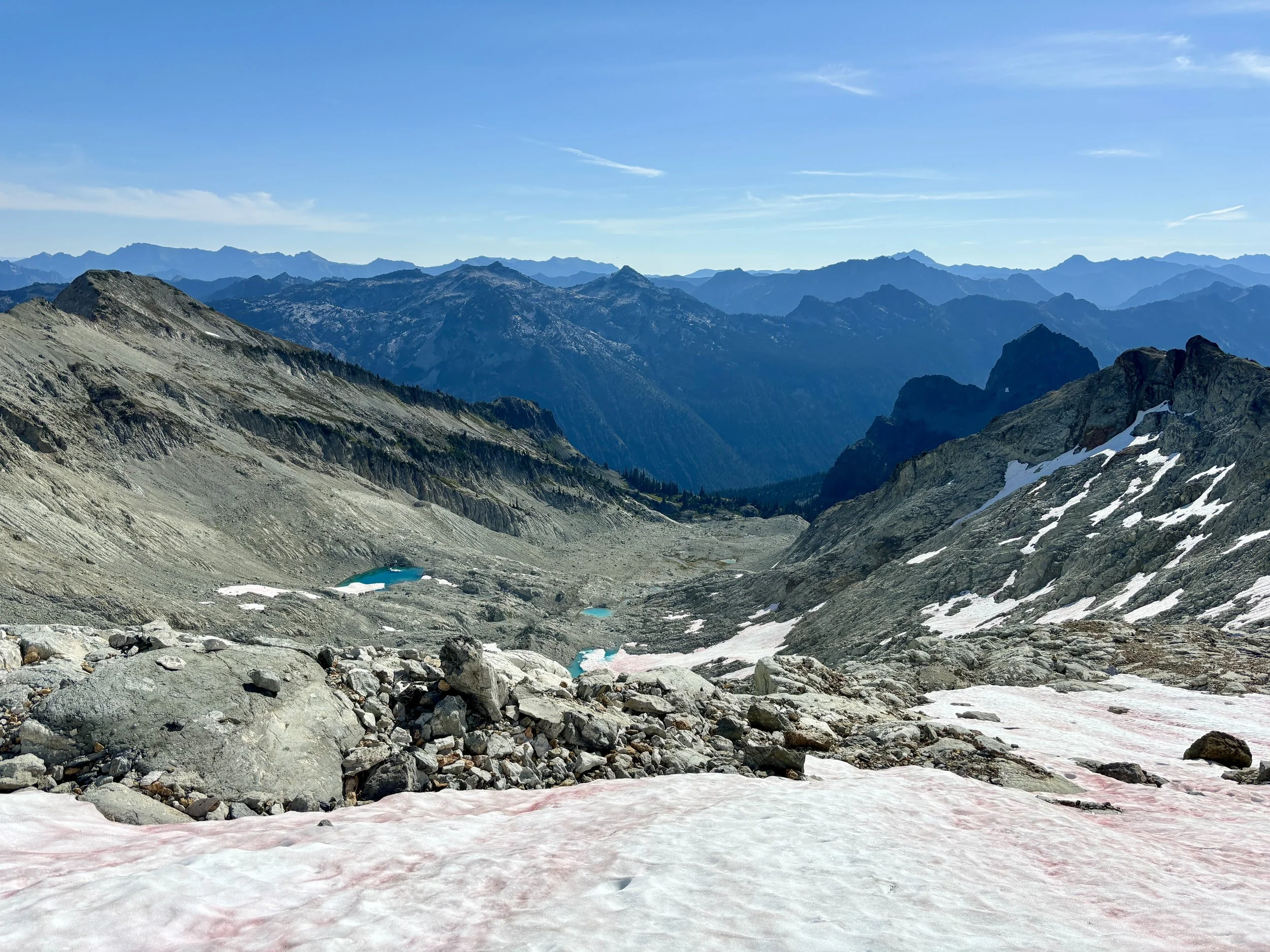
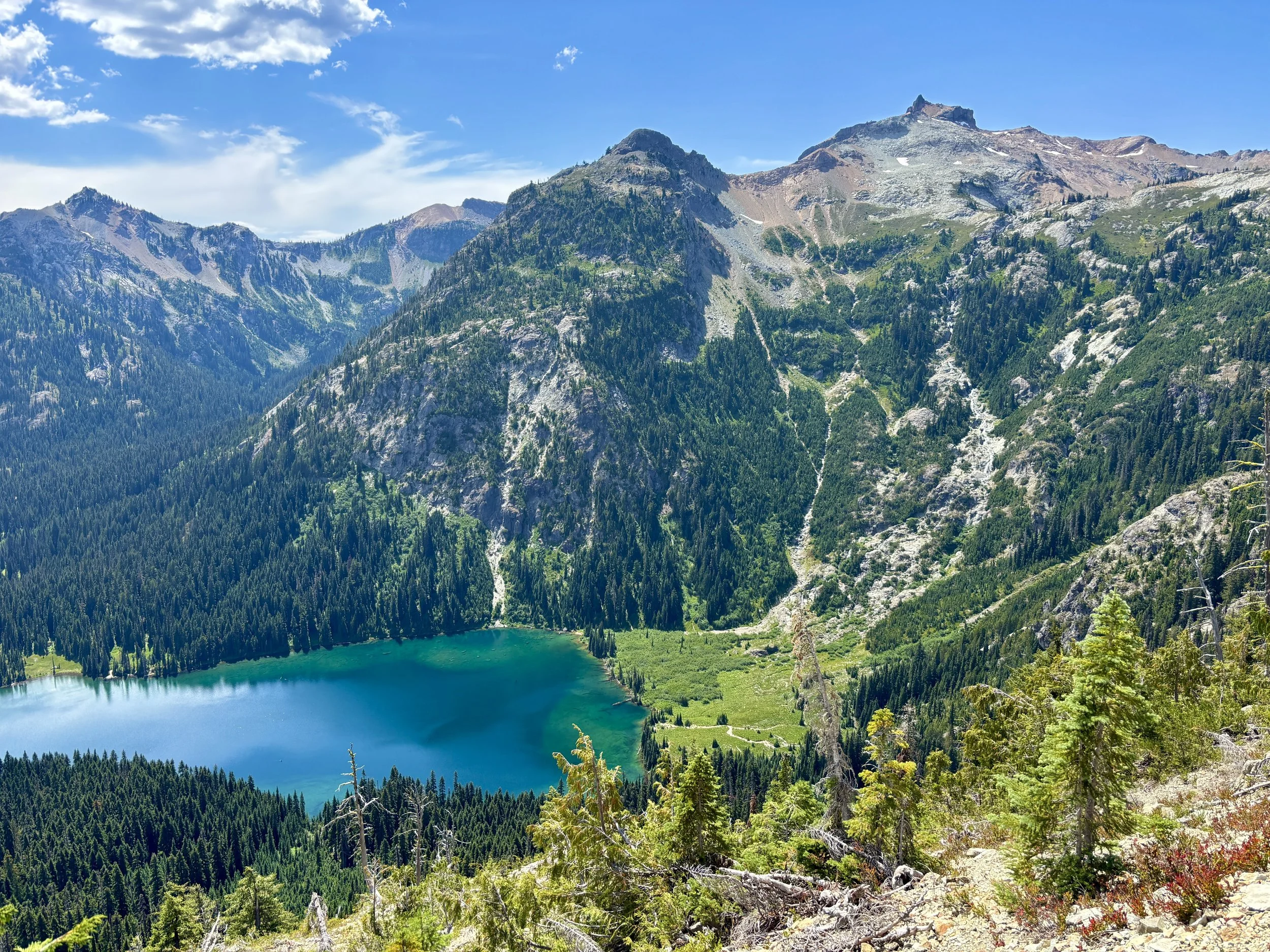
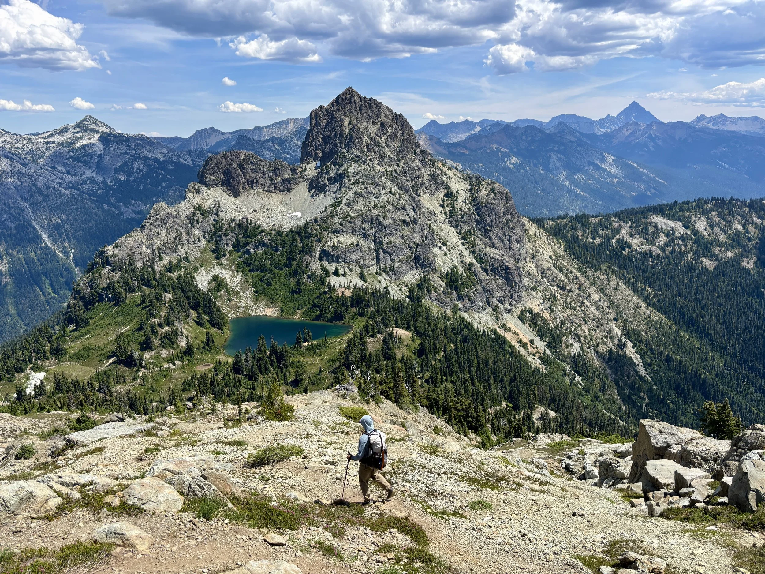
After 4.5 miles on well maintained trails, we turned off of the PCT and took the trail that traverses under Cathedral Rock. I’m guessing this trail doesn’t get any maintenance based upon the state of it, but I was glad there was a trail for this part as there would have been some steep slopes to traverse otherwise. There was a maze of trails around Peggy’s Pond and also an exorbitant amount of mosquitoes. This is the last place to confidently refill on water, but it’s not a great place to stop to rest because you will have 30 mosquito bites before you know it. Once we were refilled with water, we were quickly on our way. There is a social trail that goes up the ridge on the northeast side of Peggy’s Pond. It seems like all of the trails do a decent job of converging to this one.
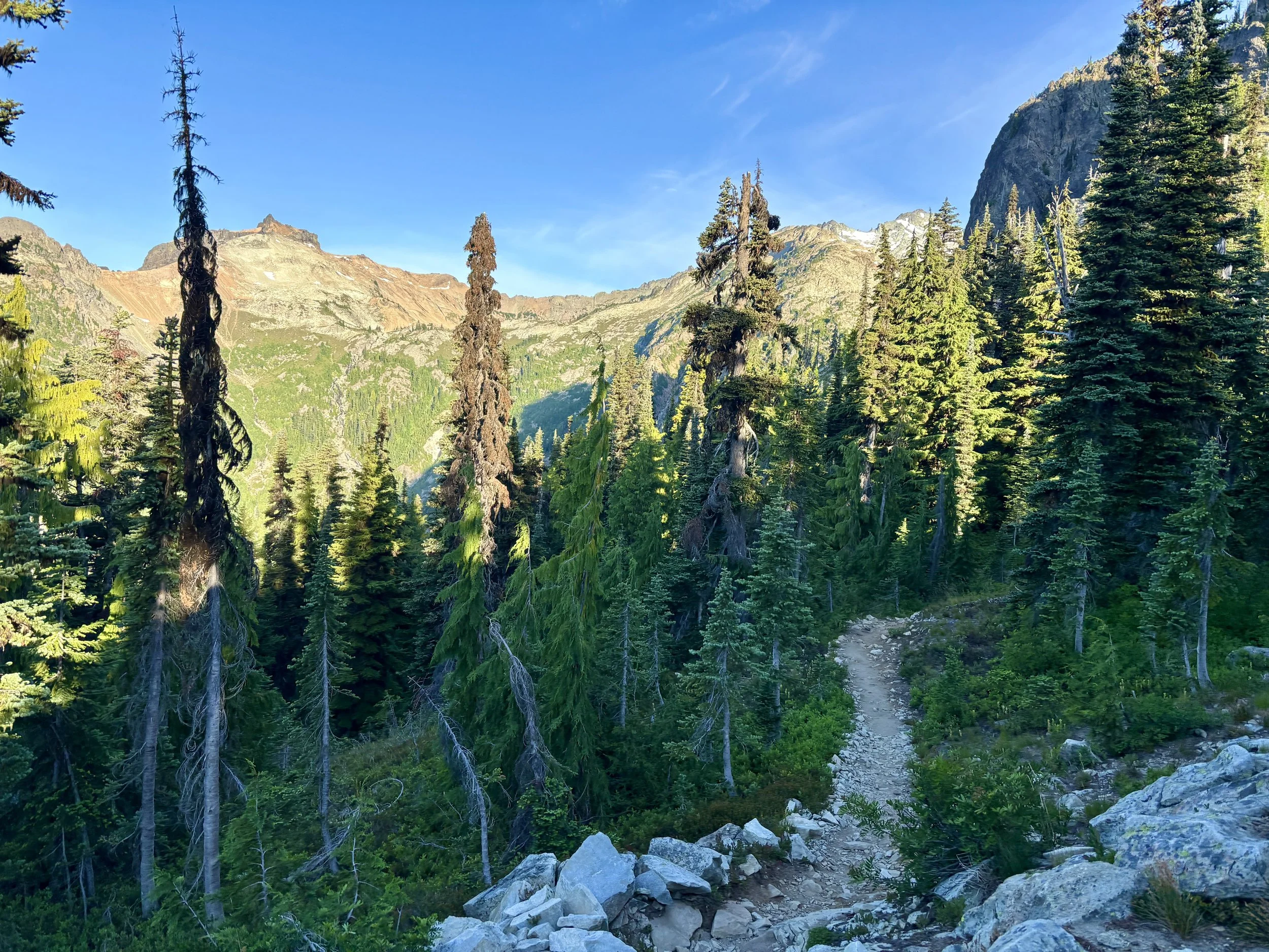
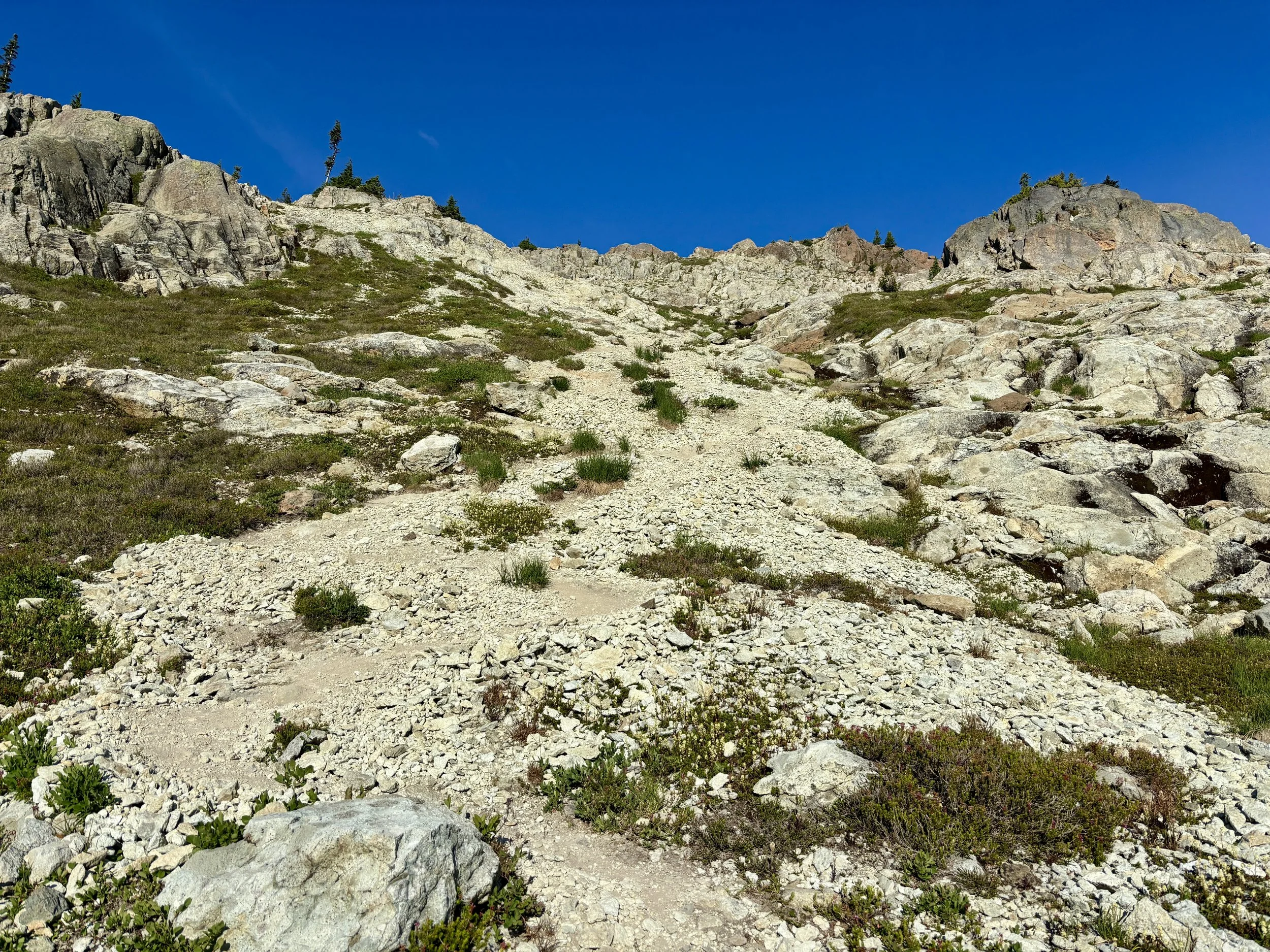
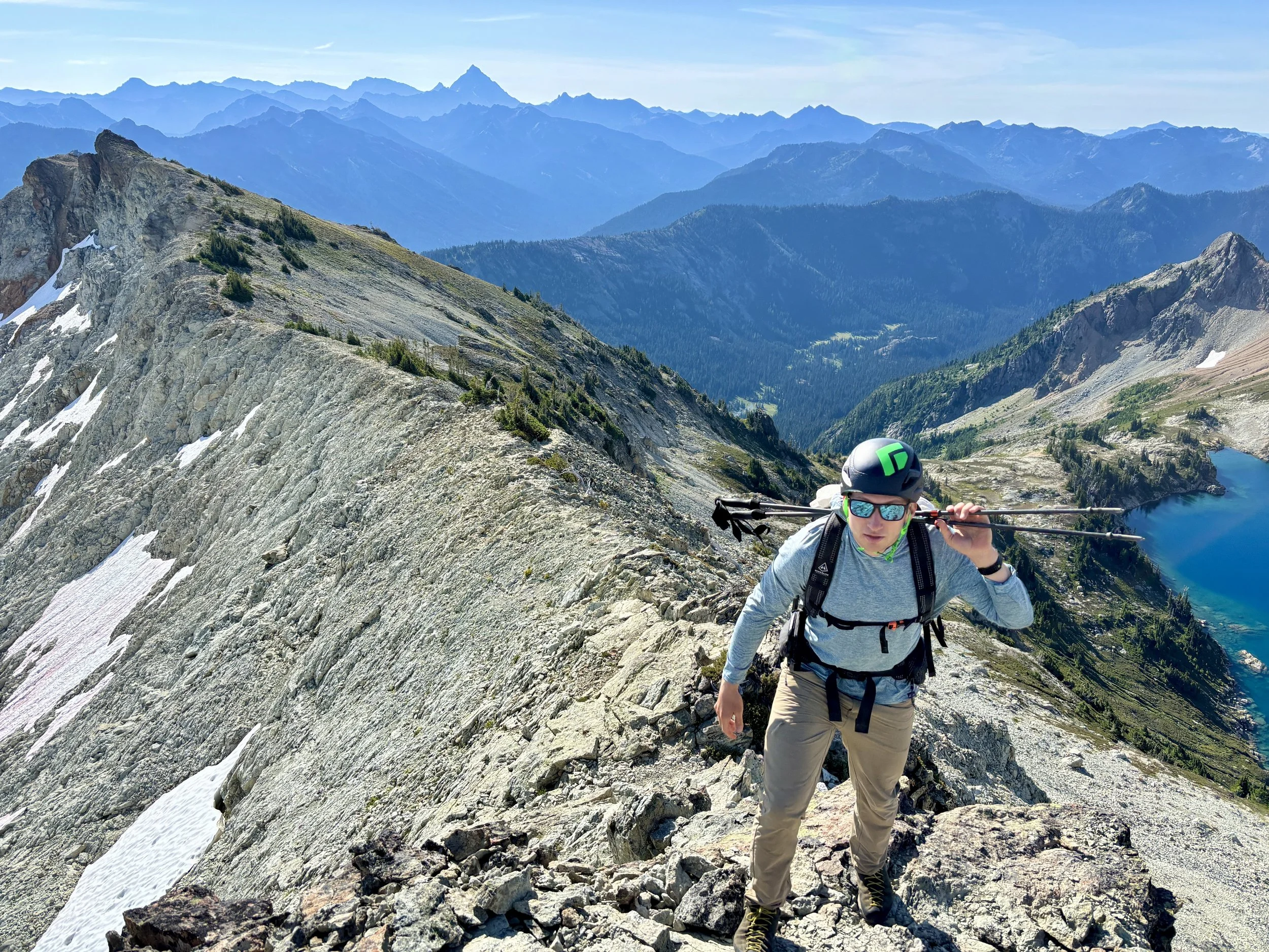
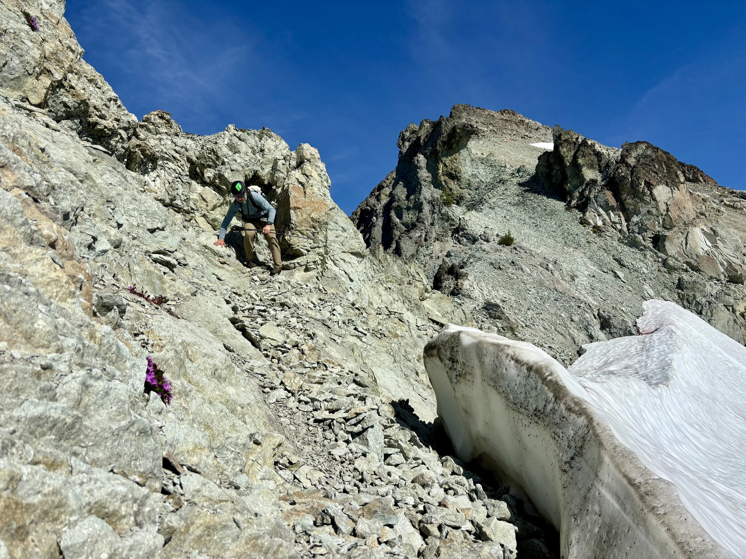
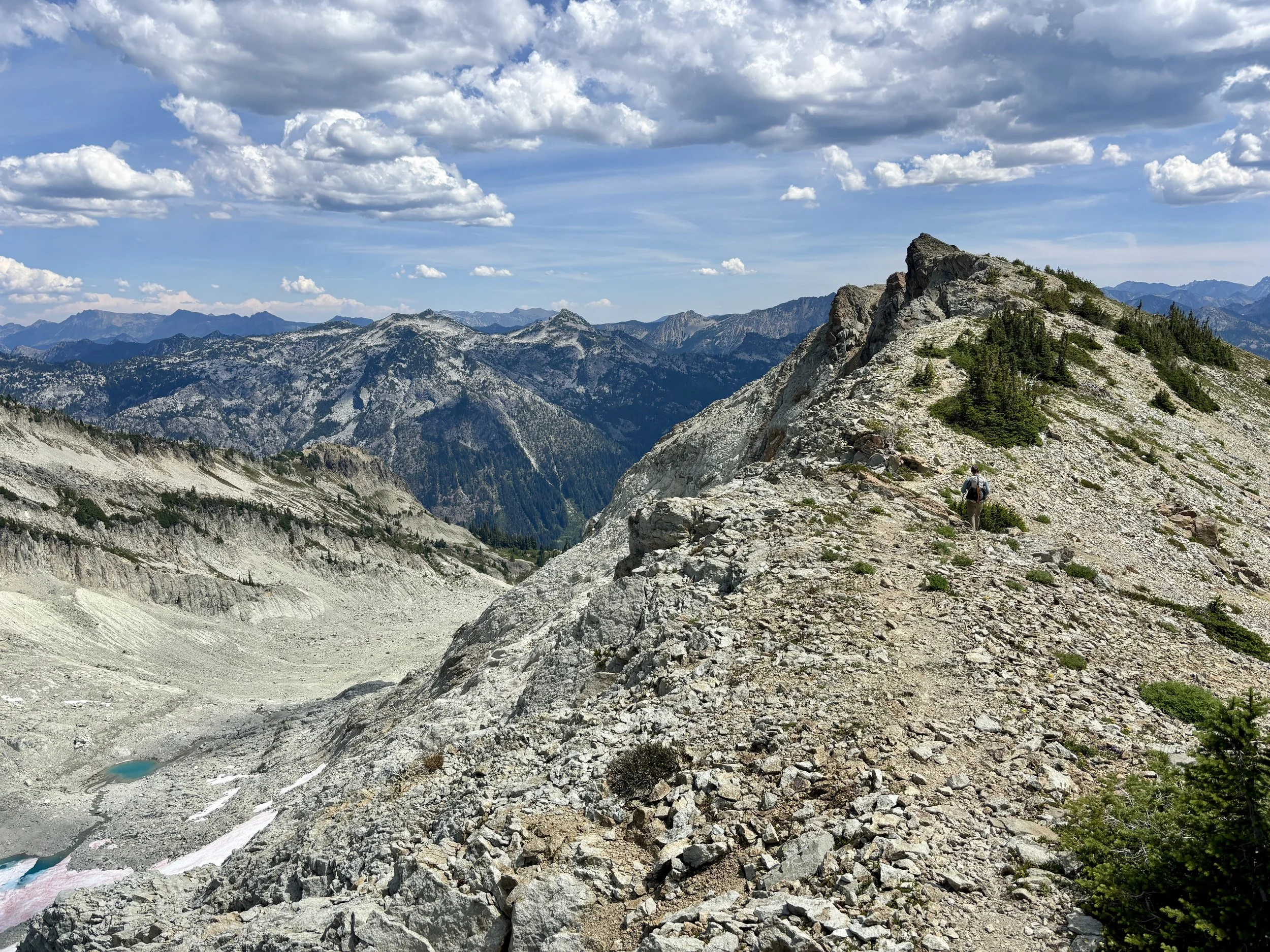
We very quickly started gaining elevation. This trail had more of a climber’s trail feel to it because it was very direct, went straight up the mountain, and had a lot of loose rock to navigate. That said, it was nice that there was a trail there, and we moved through that section pretty quickly.
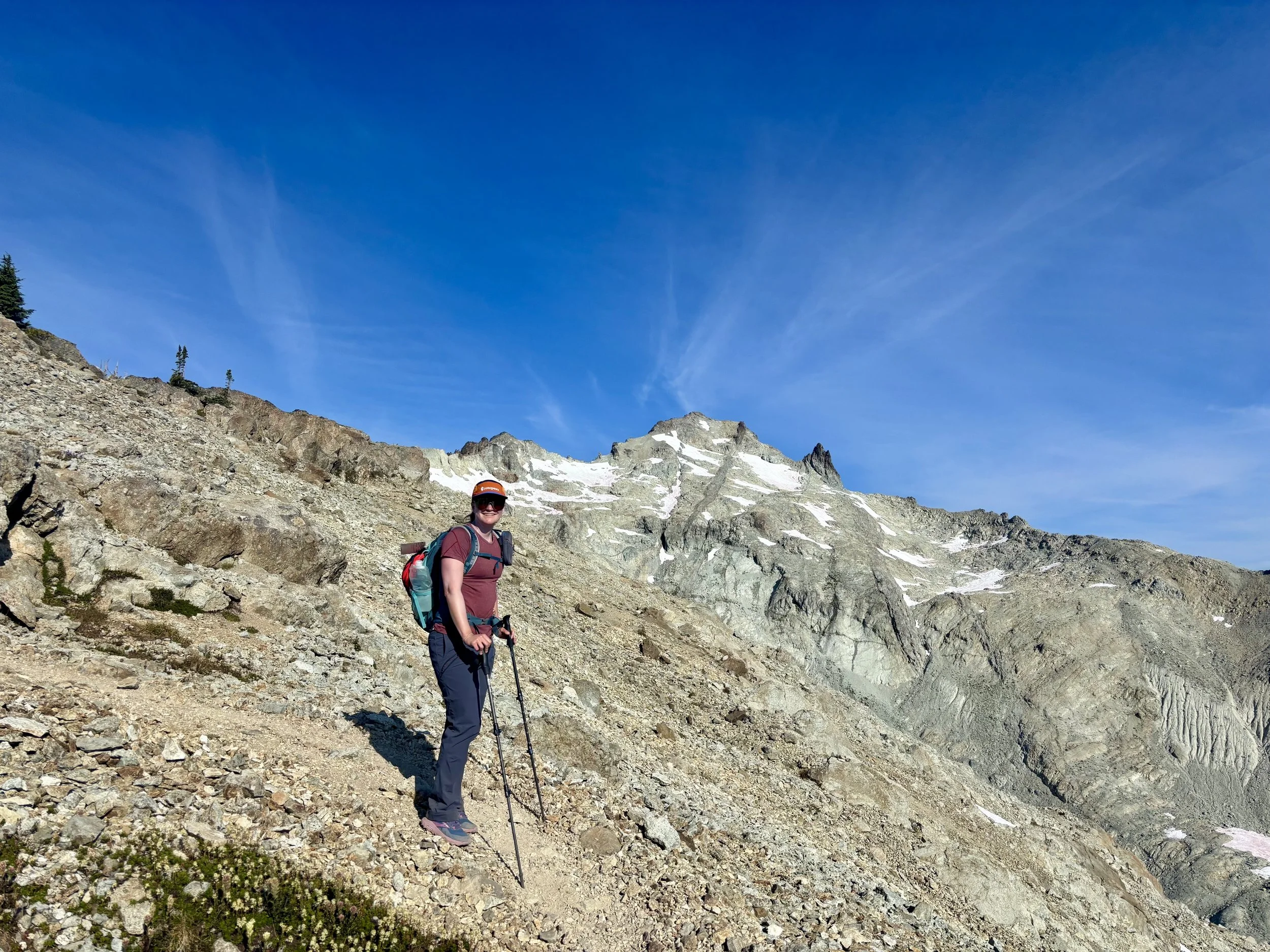
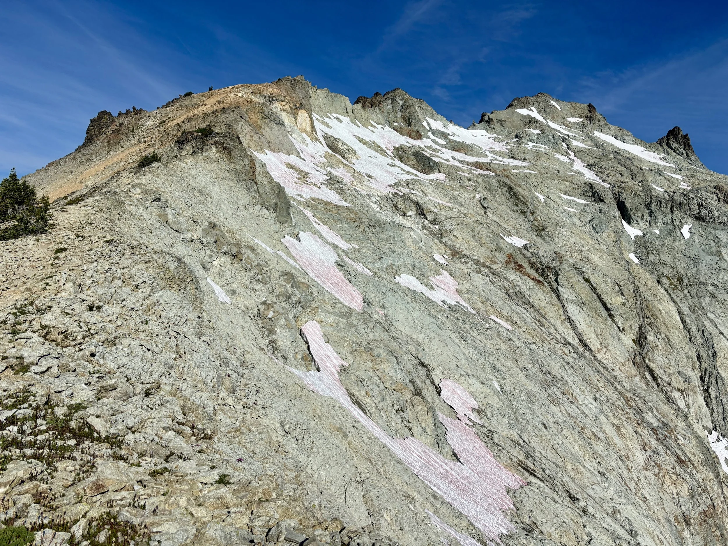
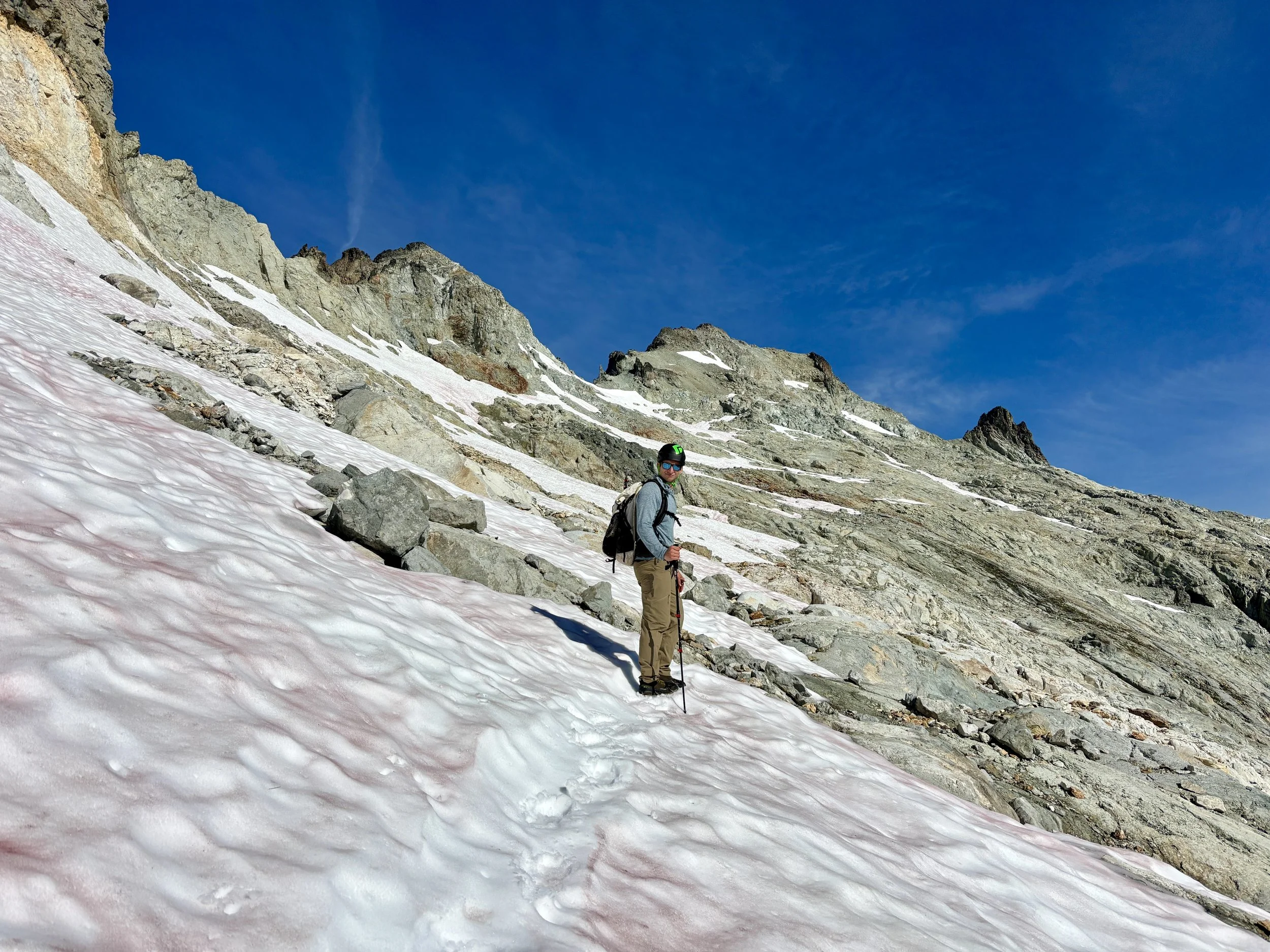
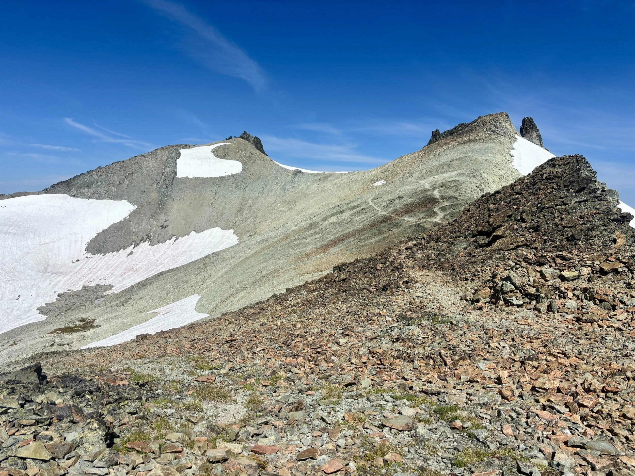
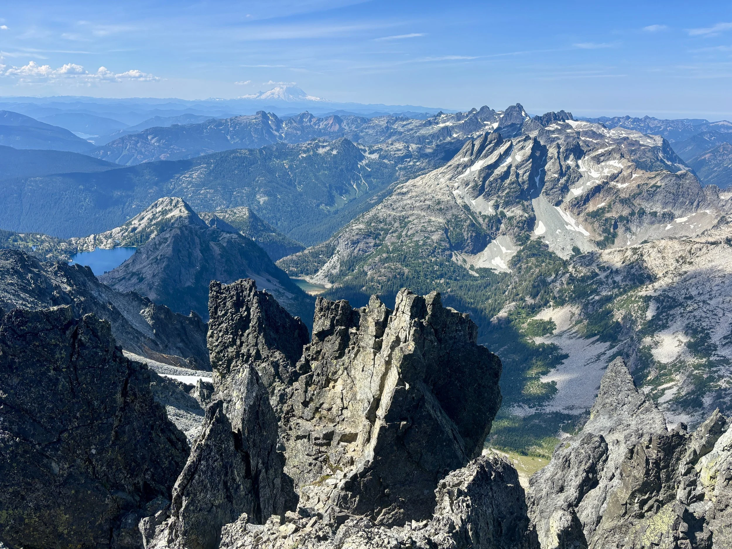
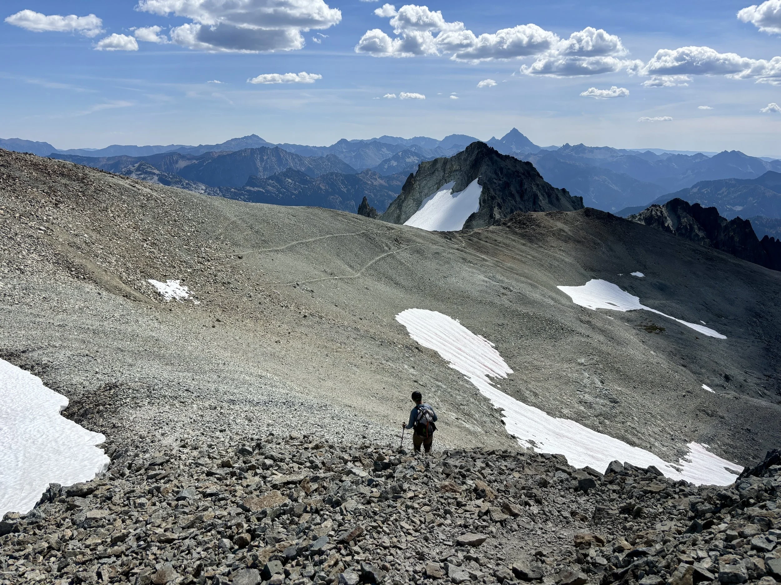
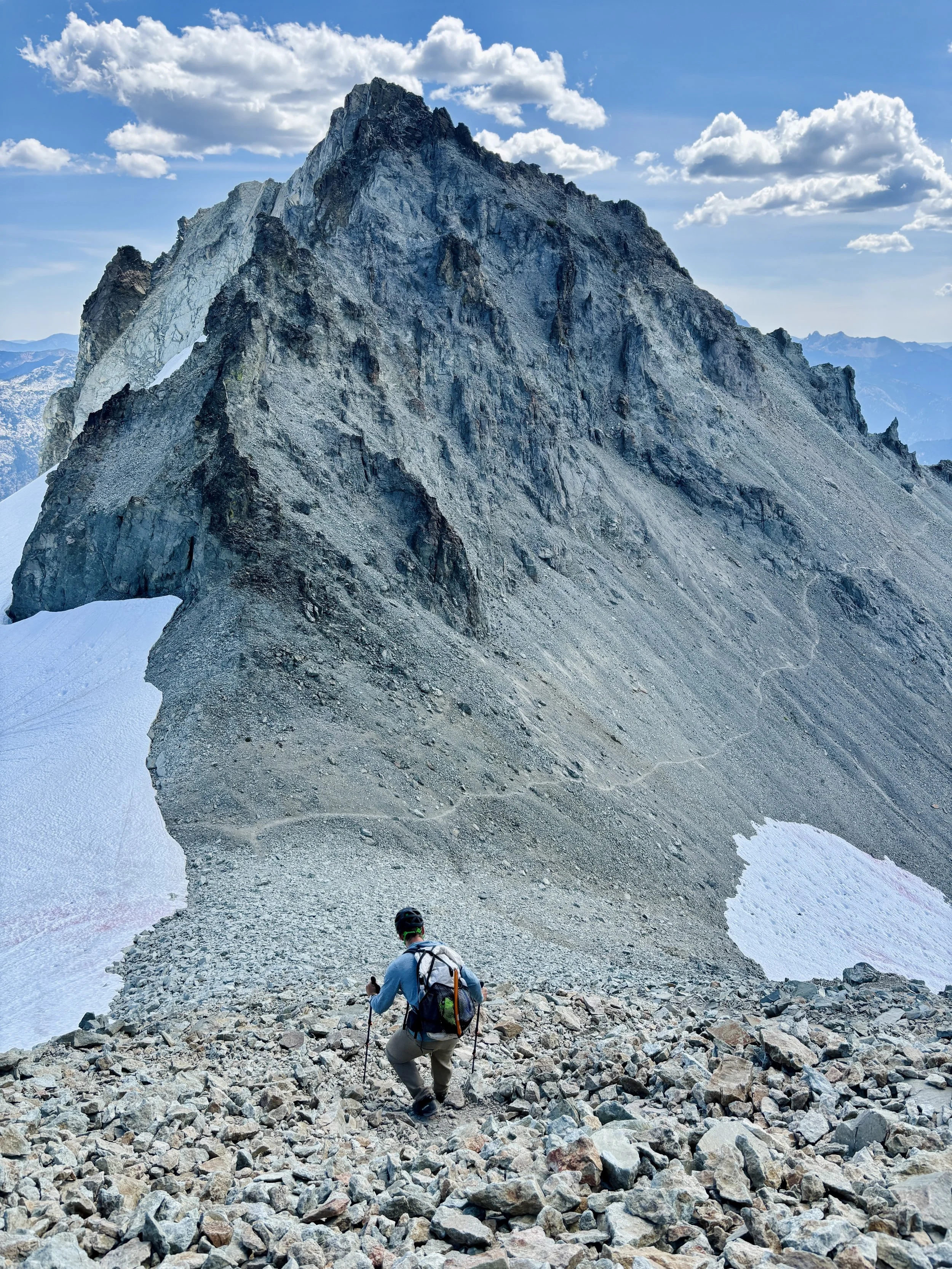
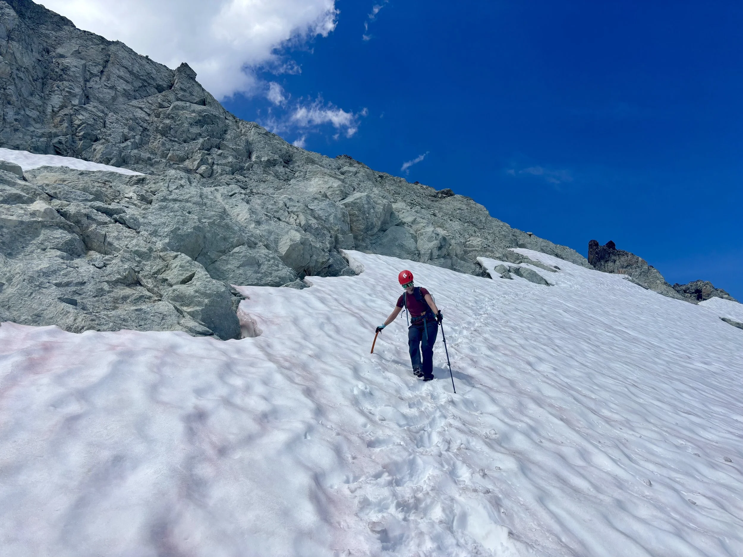
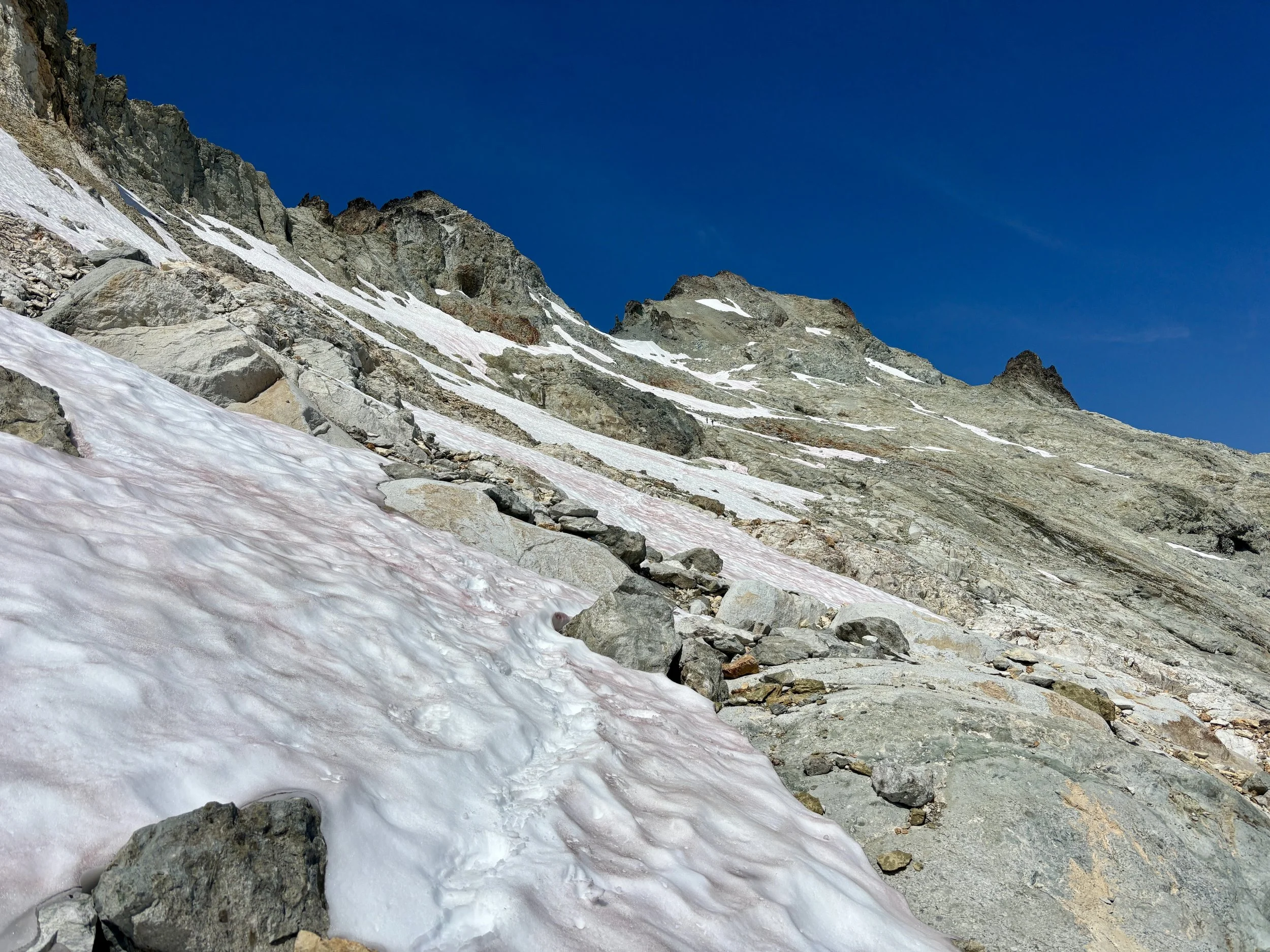
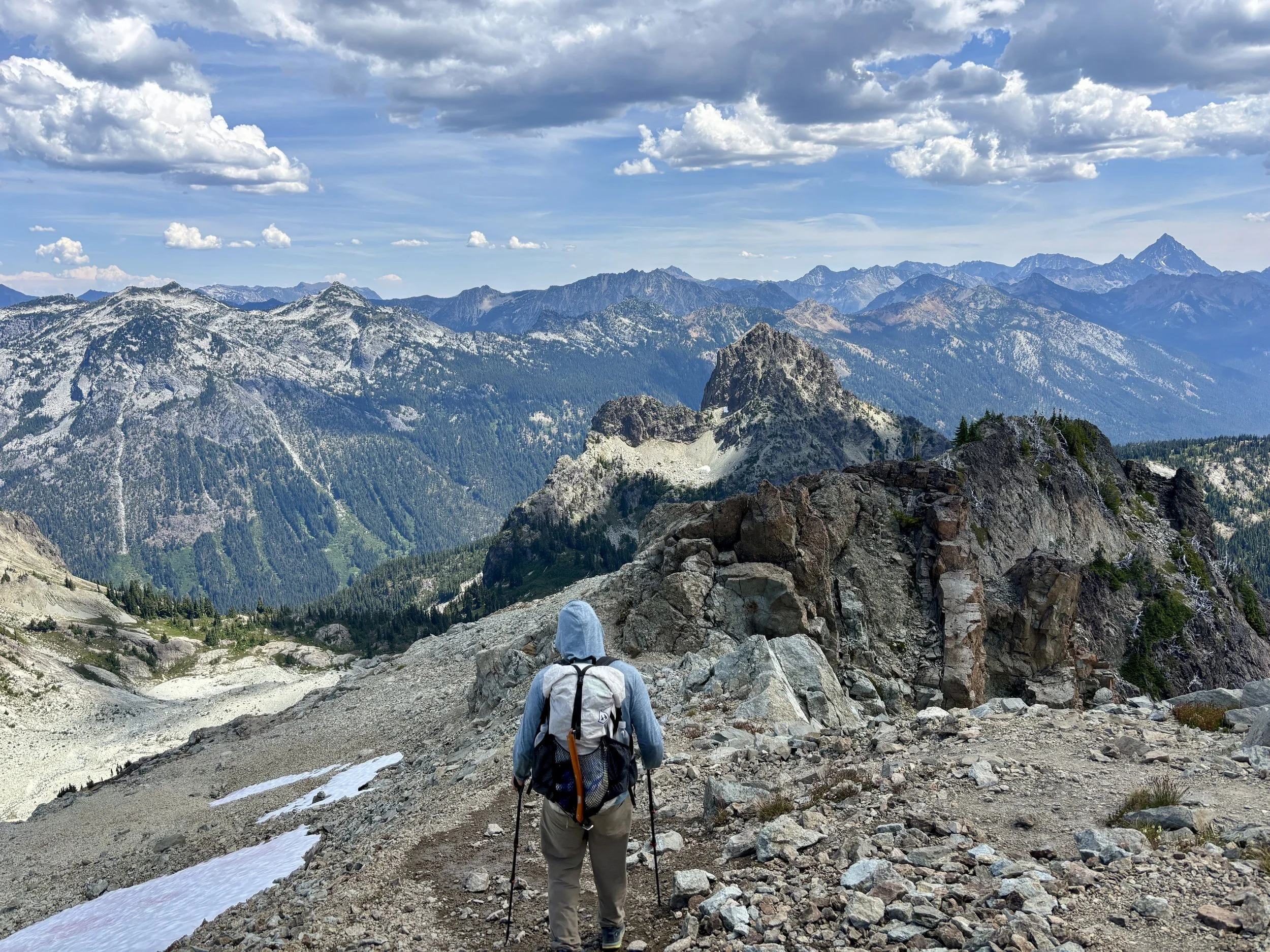
Once we got higher up on the ridge, we started to get some views of the bowl with snow patches that we would have to traverse. Reports online said this would be the faster route to take vs the scrambler’s route that stayed on the ridge. We dropped off the ridge in the obvious spot where we saw bootprints start in the snow. We took out our ice axes and put on our microspikes, and followed this “trail” to the bottom of the bowl that still had snow on it. There were several different options people had taken to go up the bowl. I assumed this would be the hardest part of the day (I was wrong). We took the climber’s left track and didn’t have any issues getting to the saddle. Once at the saddle, we stopped for a snack break and enjoyed the views we had of Rainier and the endless number of mountains around us.
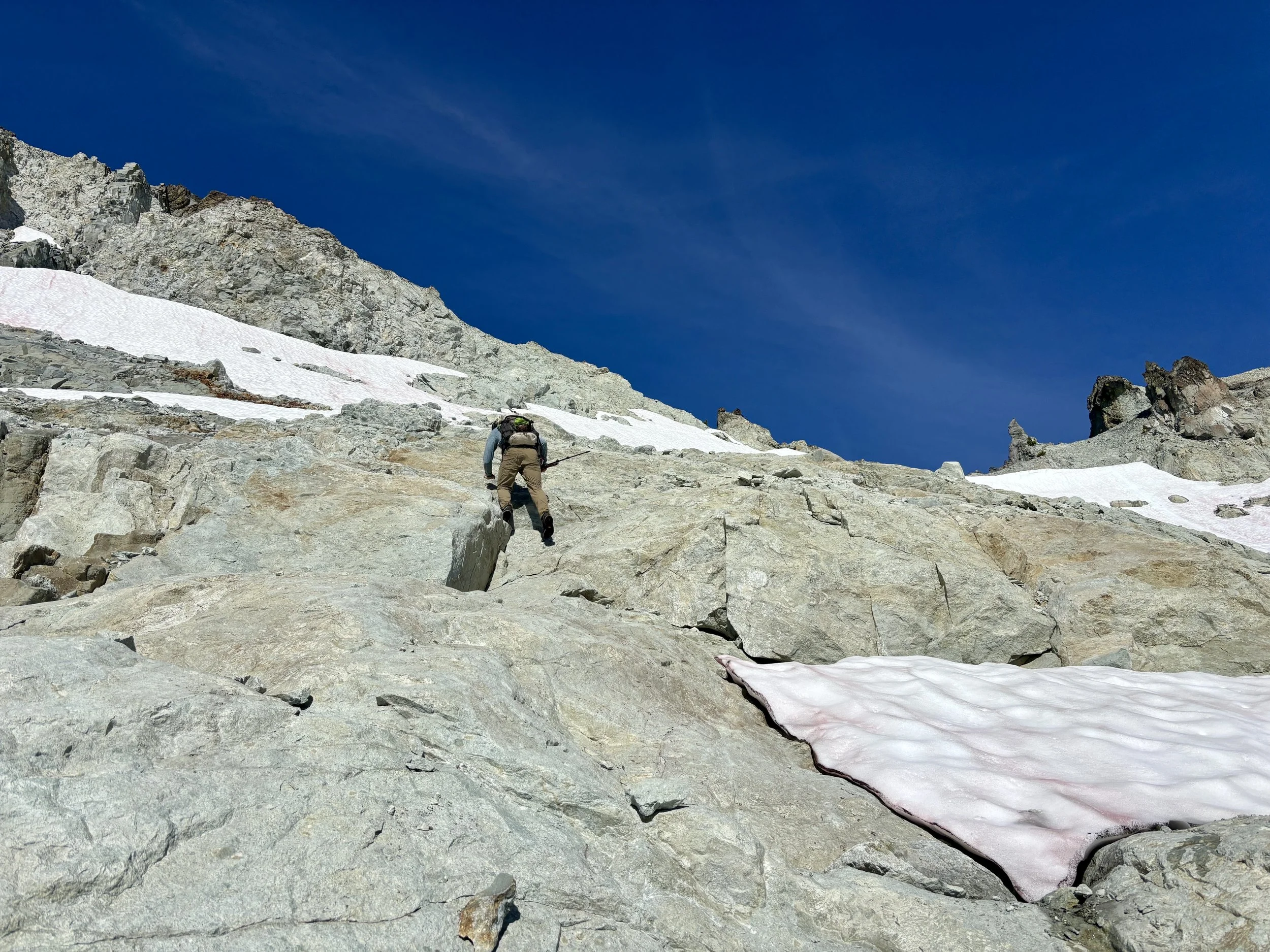
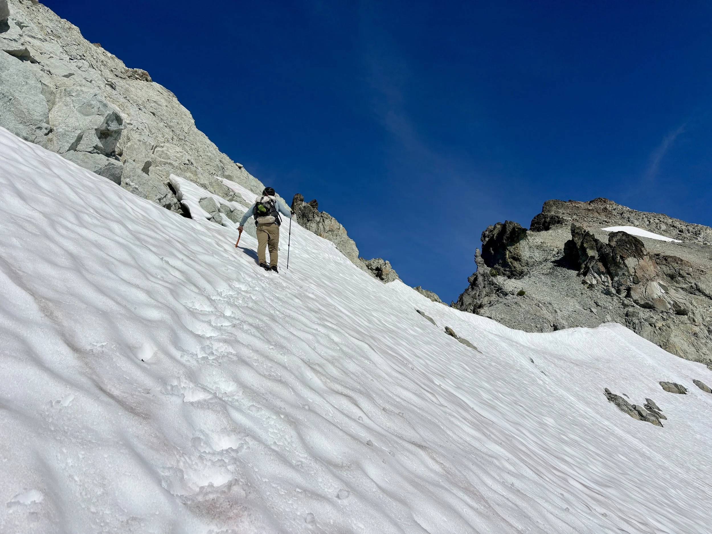
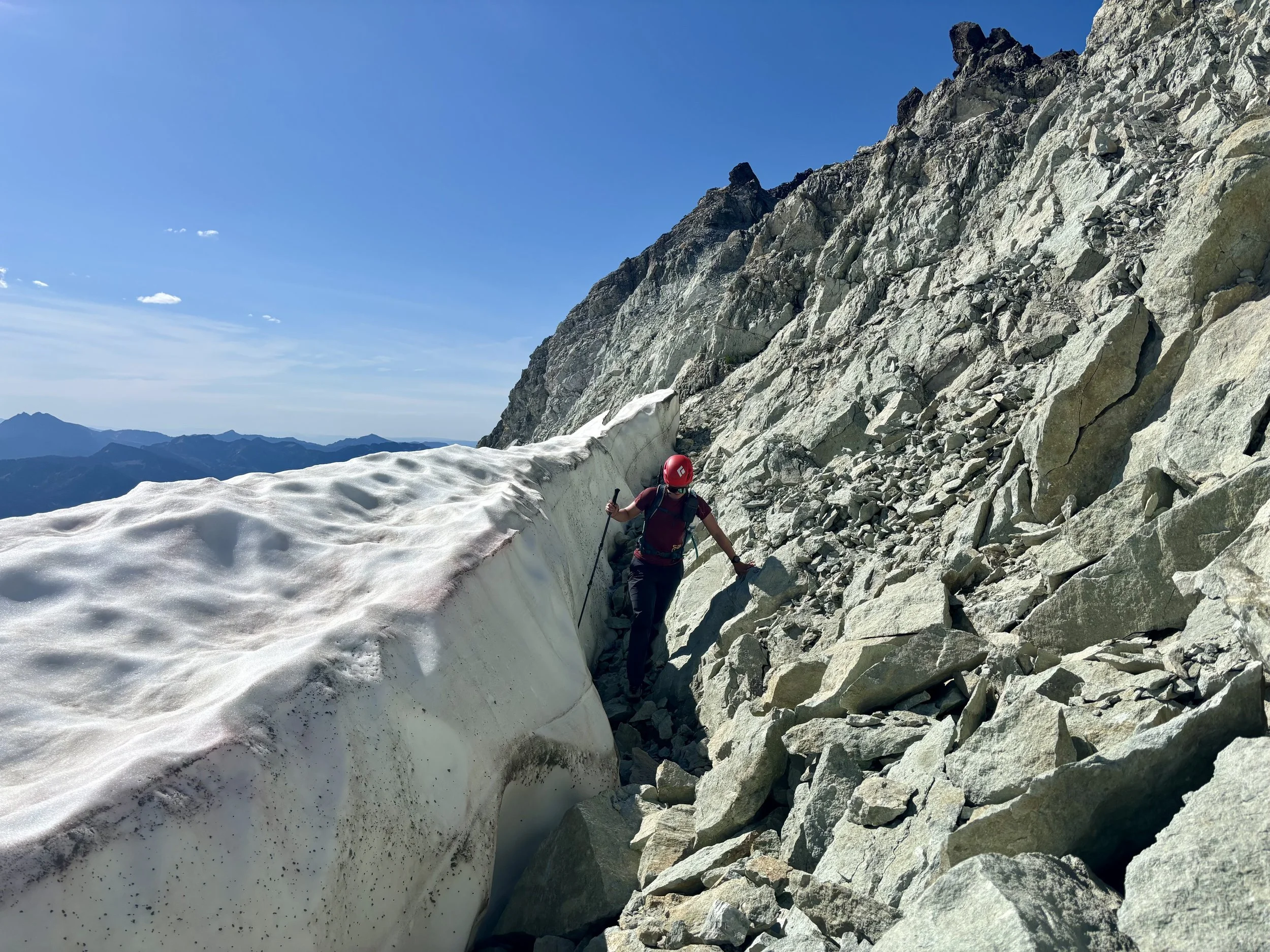
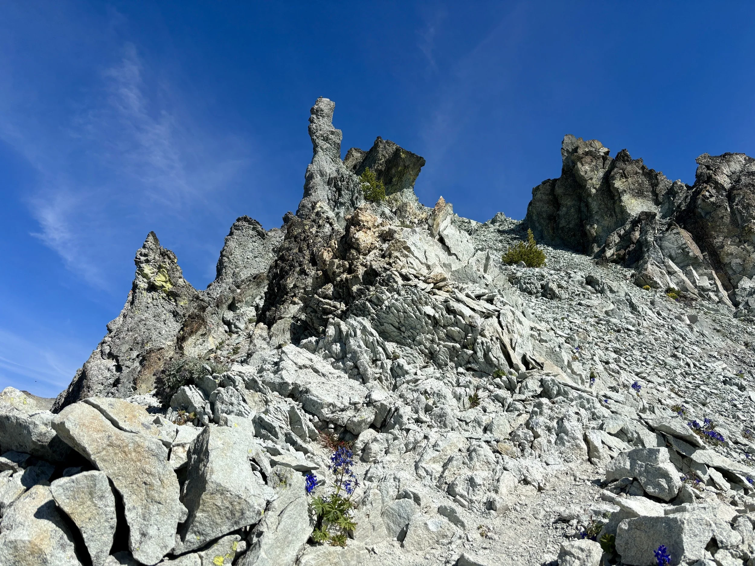
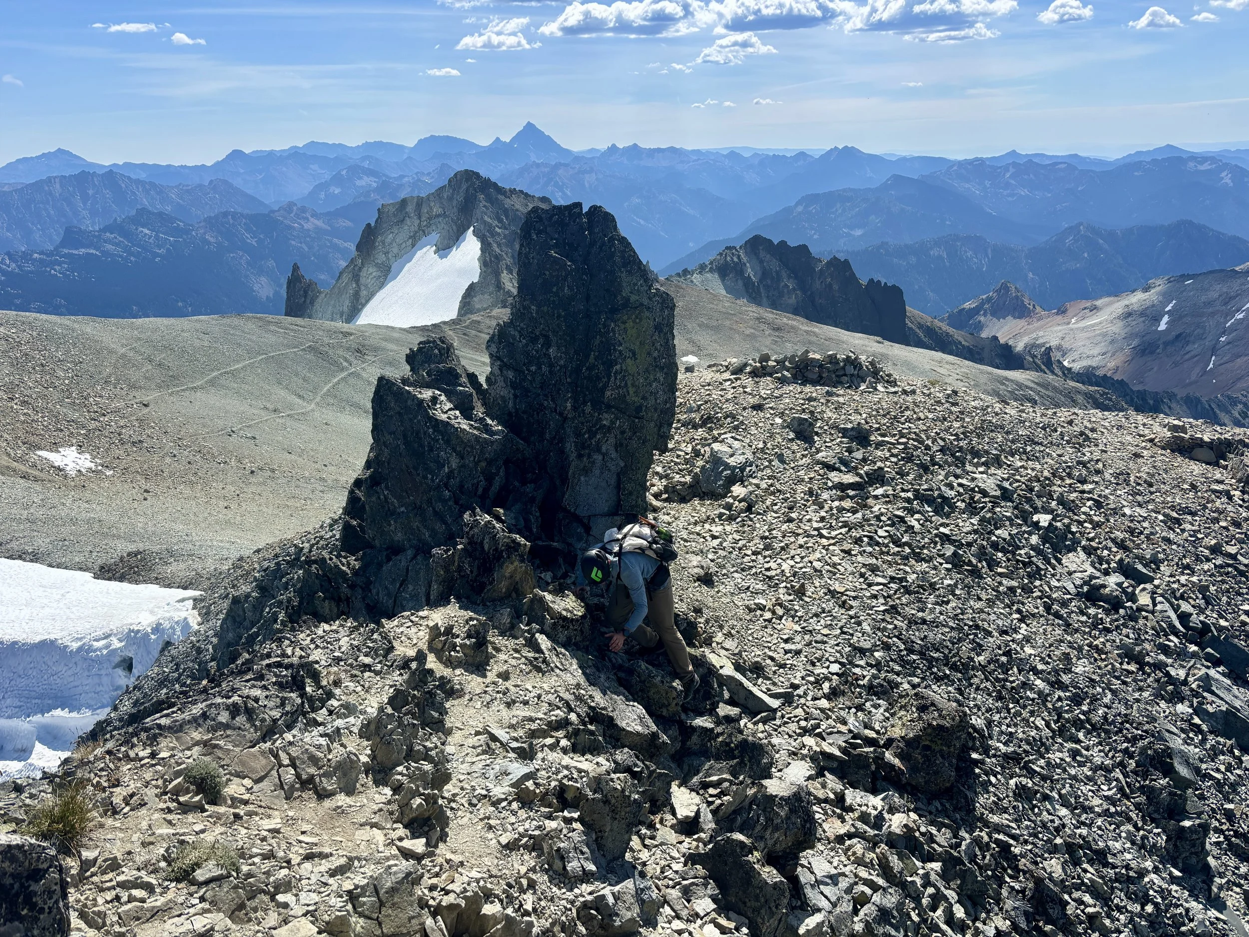
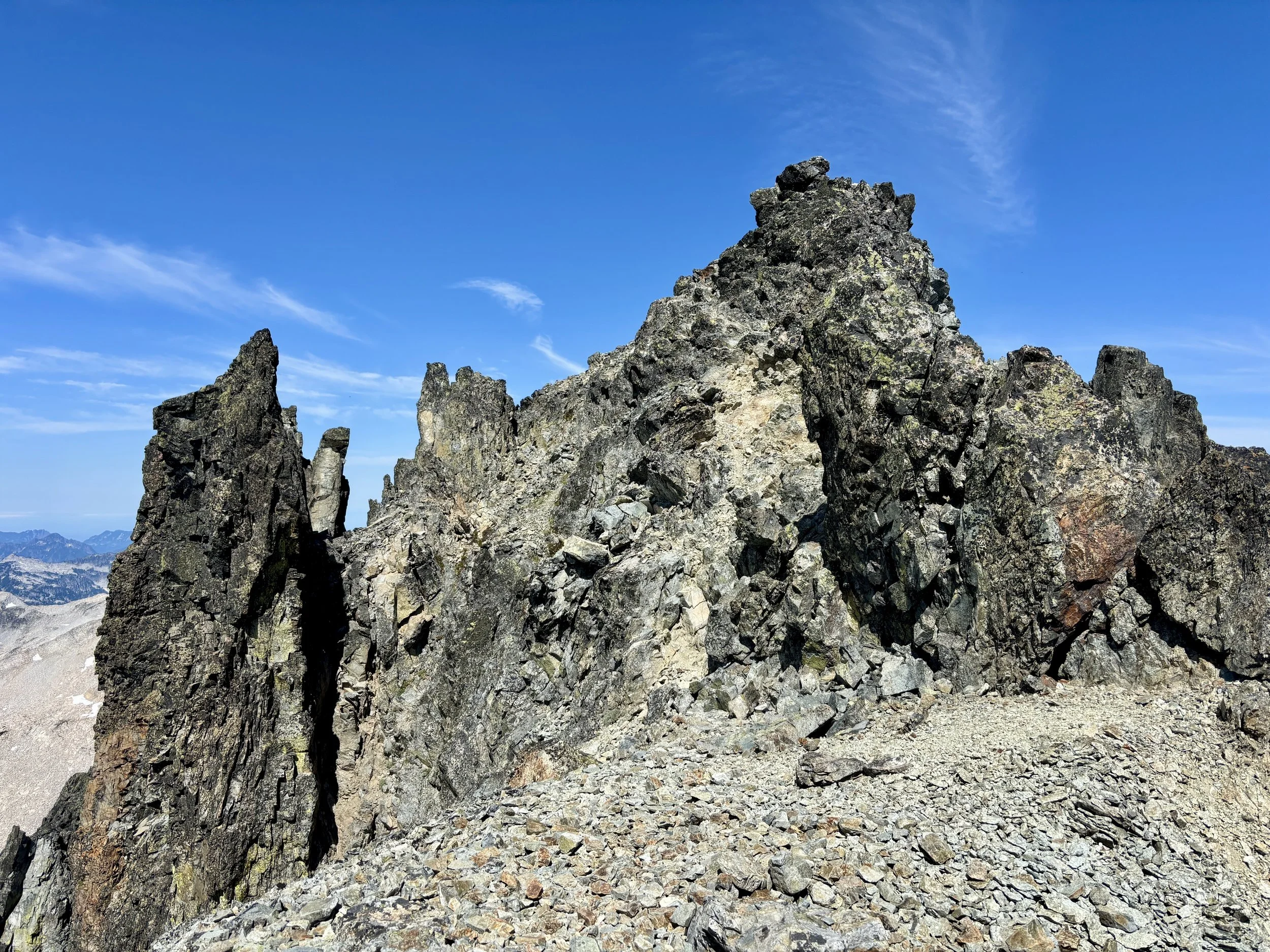
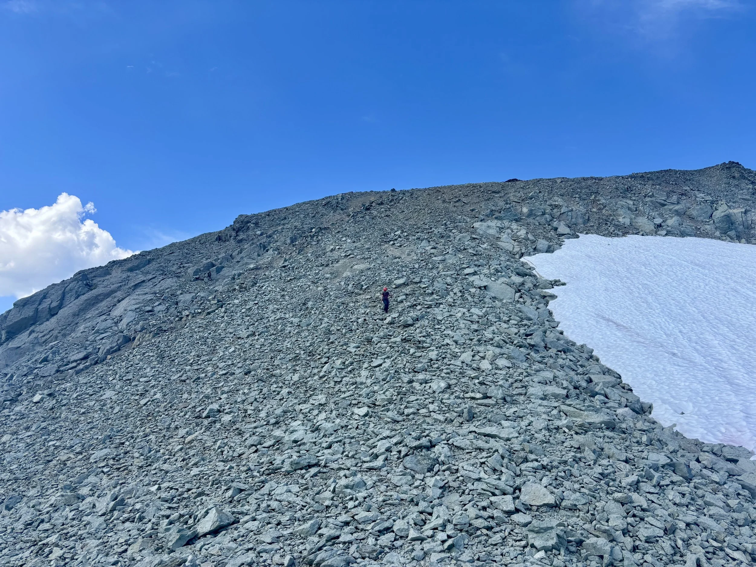
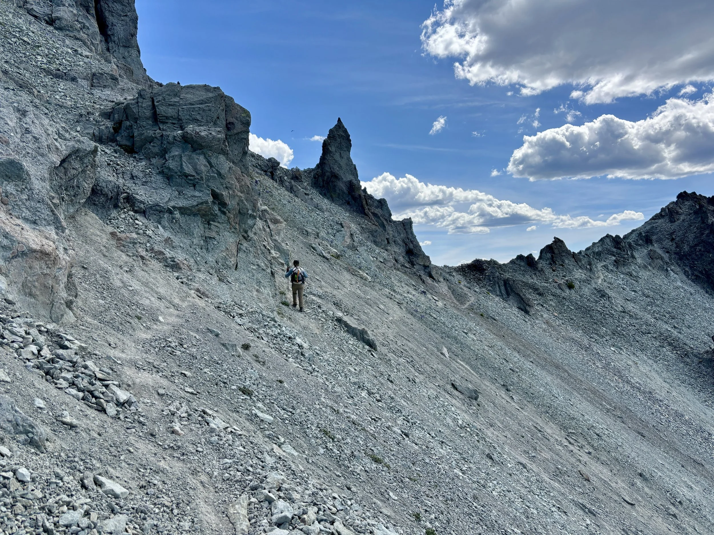
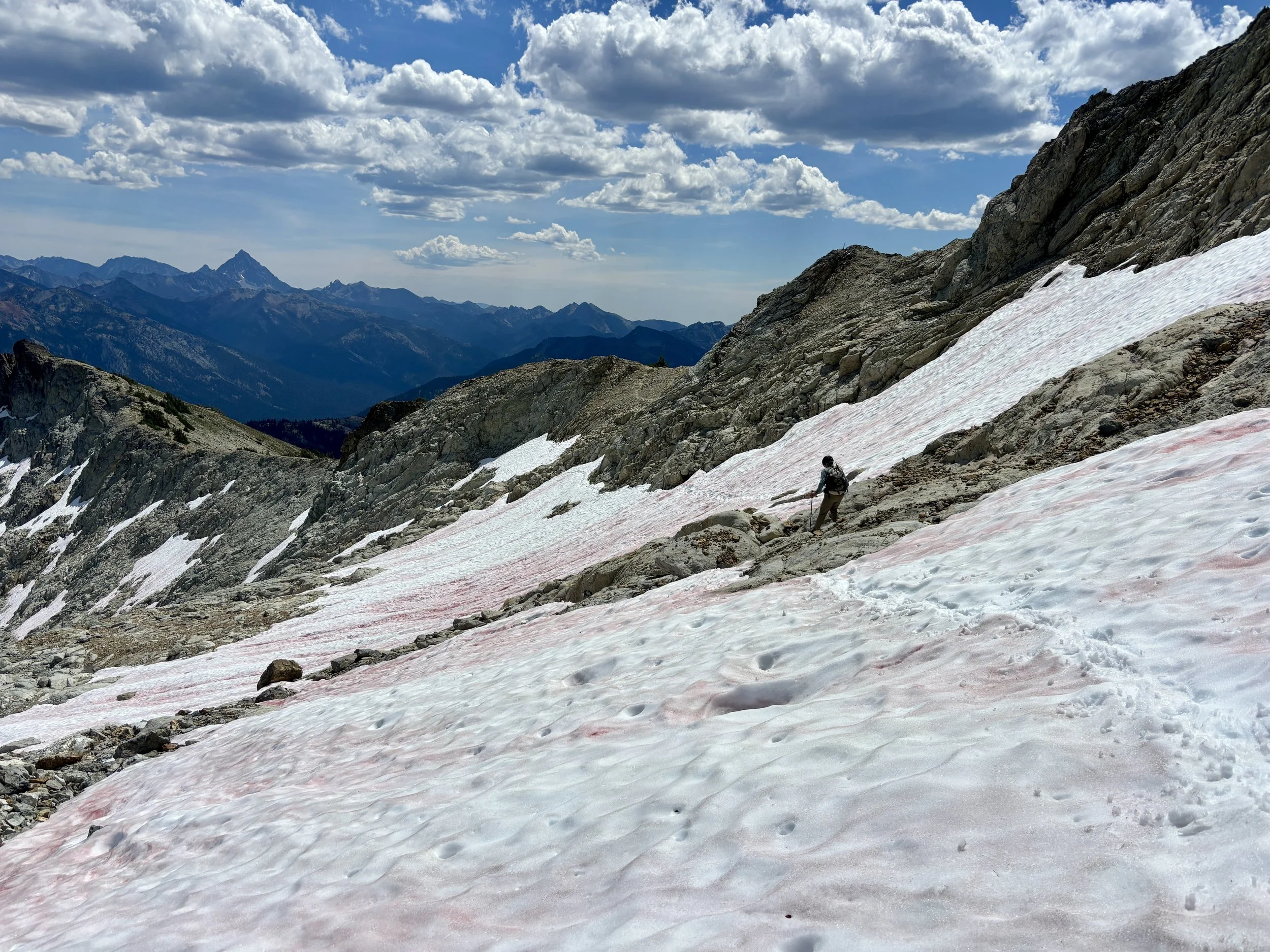
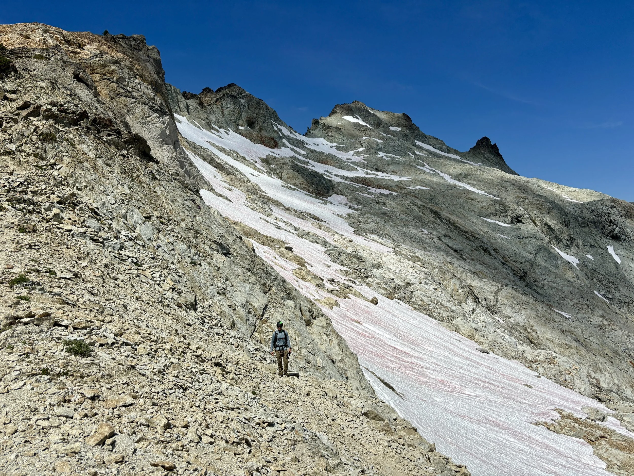
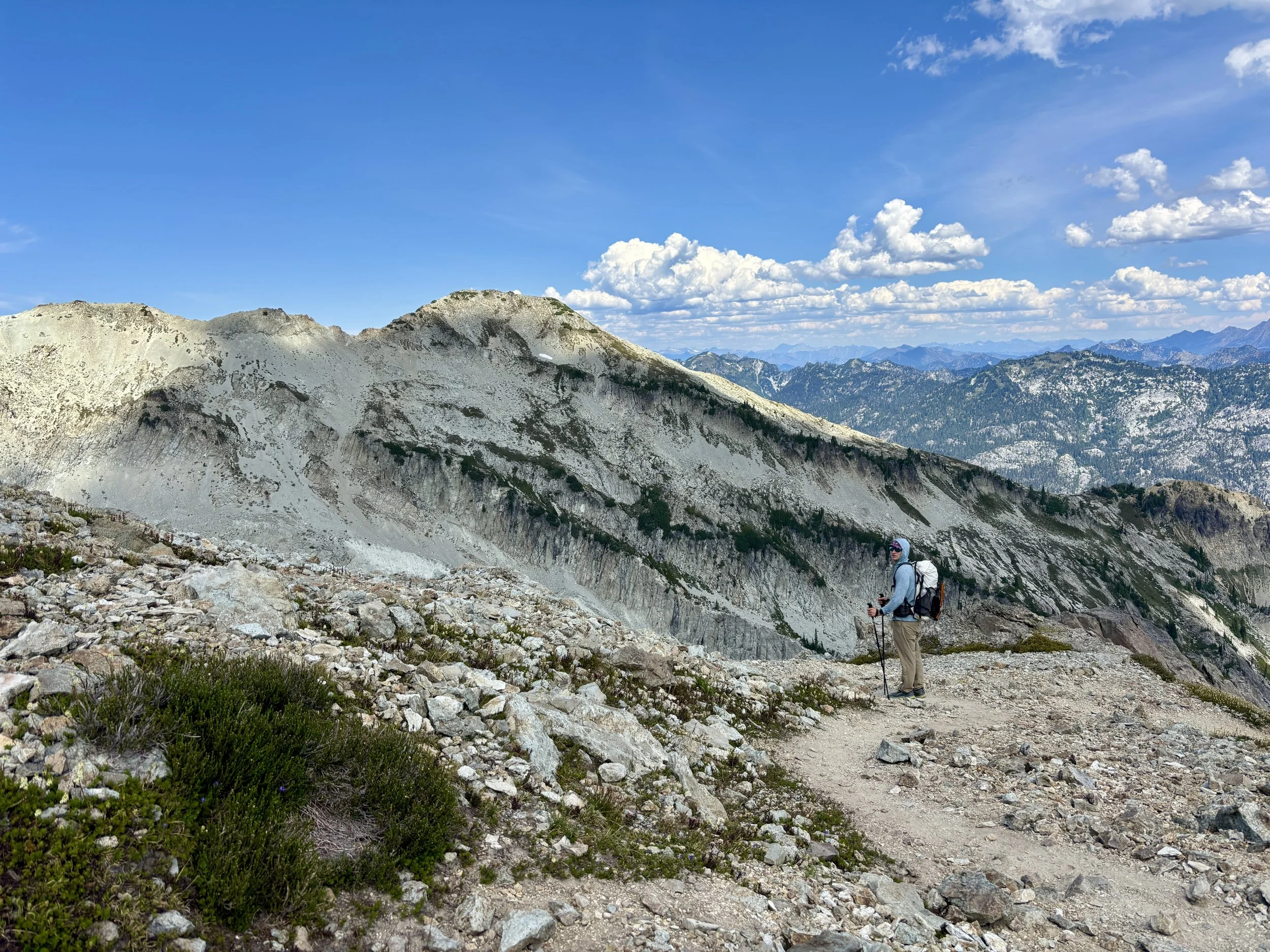
It looked like we just had to traverse a steep slope and then the slope angle would lessen and we’d be at the top in no time. Turns out the traverse right after the saddle was hands down the worst part of the day. The slope is so steep that there are very few rocks left on the slope and so there are just some small footprints that are worn in to the dirt that are a couple of inches wide. If you fell here, you’d probably tumble for a while before you would be able to stop and I think you’d be pretty banged up. At one point, we somehow found ourselves on some footprints that were below where we wanted to be and we had to very carefully take several steps in the loose dirt to get back up. I think we both held our breath while we did it. Once across this slope, things did get easier. The next little peak did require walking up some very loose scree and dirt, but it looked worse than it actually was. Once we were at this next saddle, we could see two people on the summit. We were close! We followed the social trail to the base of the summit block and scrambled up the last ~25 feet to the top. There were a lot of bugs at the top (similar to Ingalls Peak - why is this a thing in Washington?), so we decided to tag the summit but eat lunch at the bottom of the summit block.
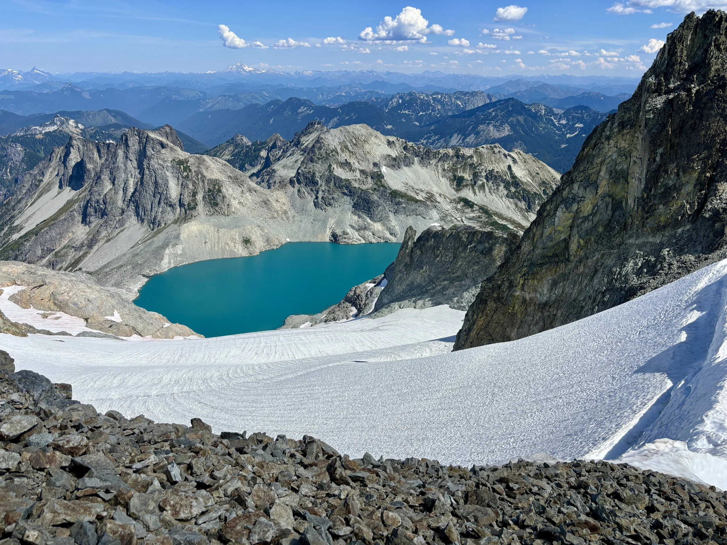
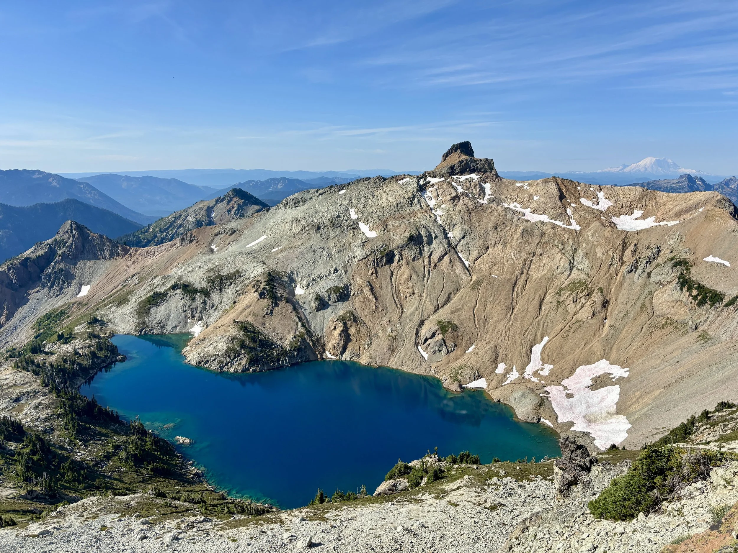
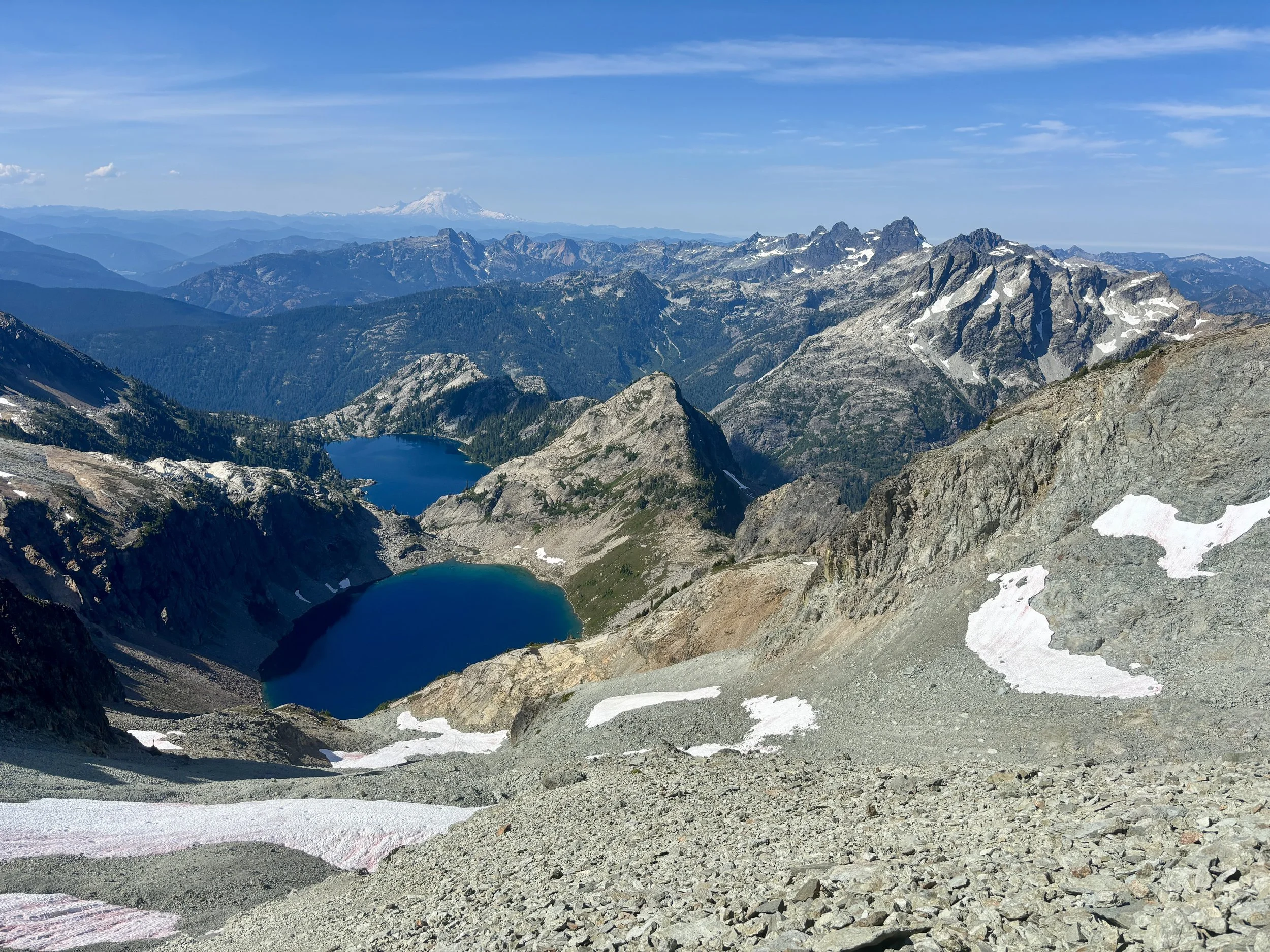
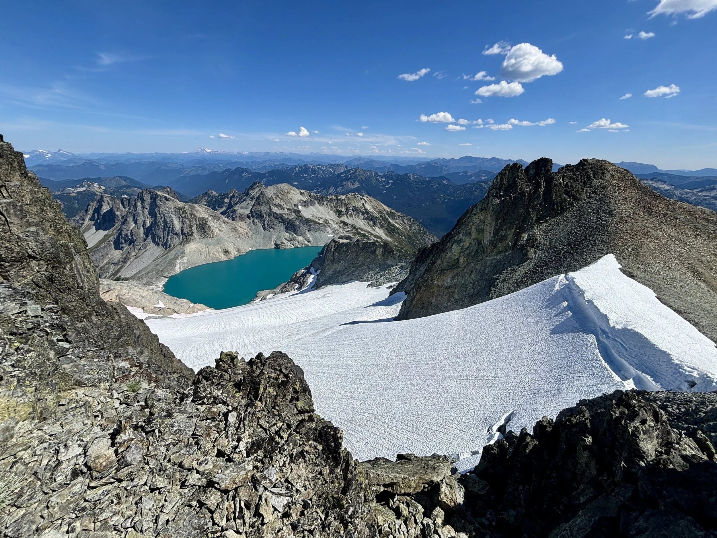
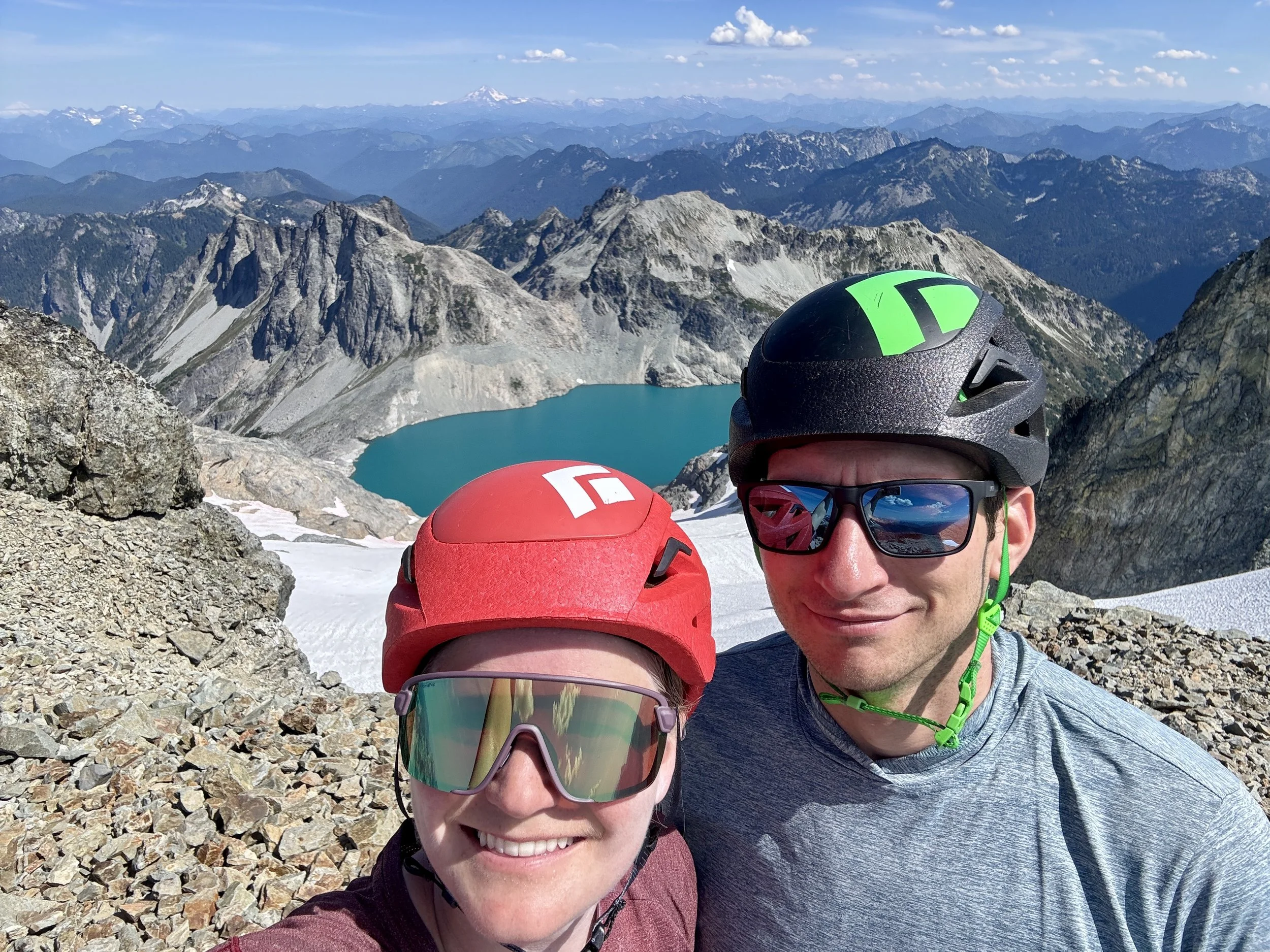
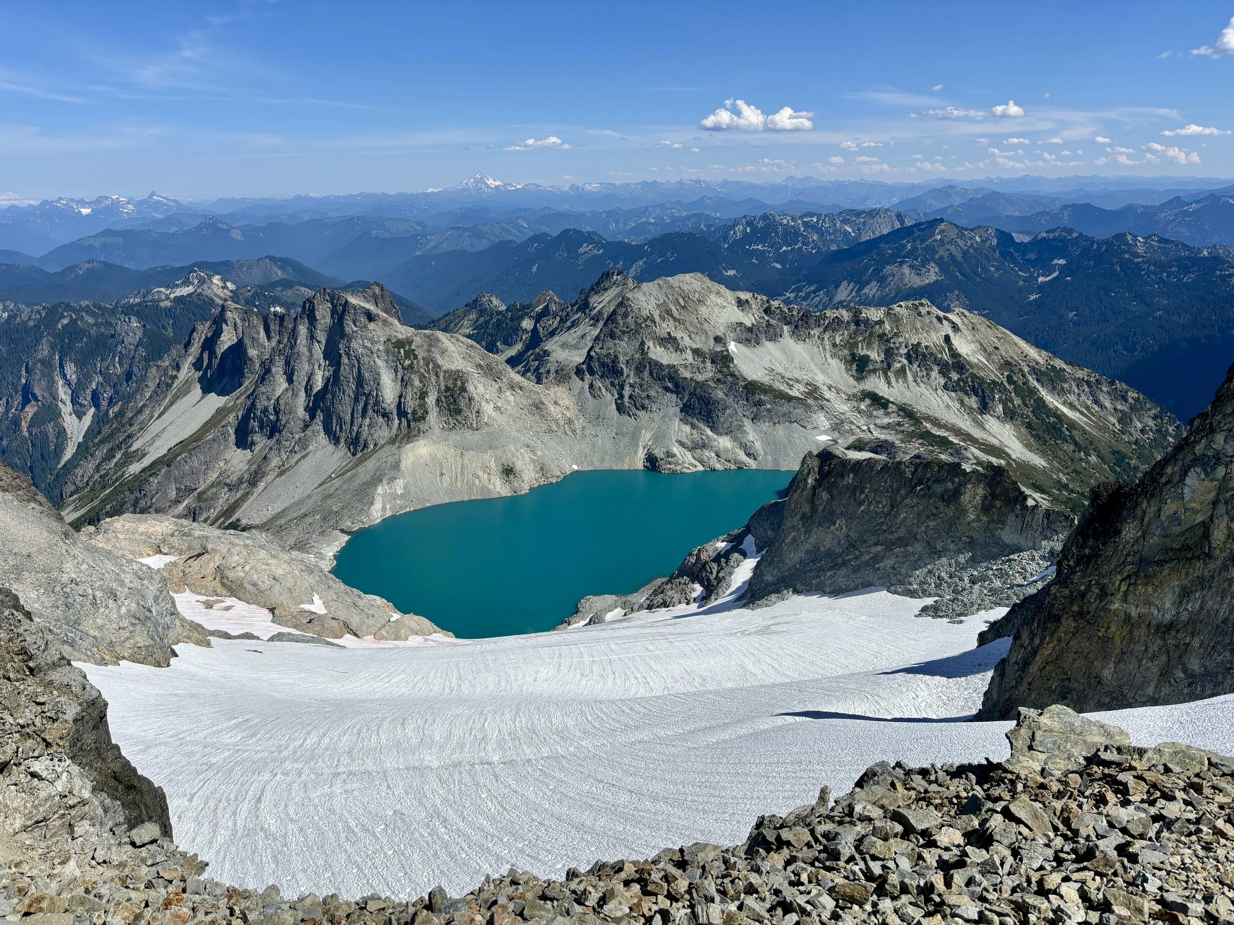
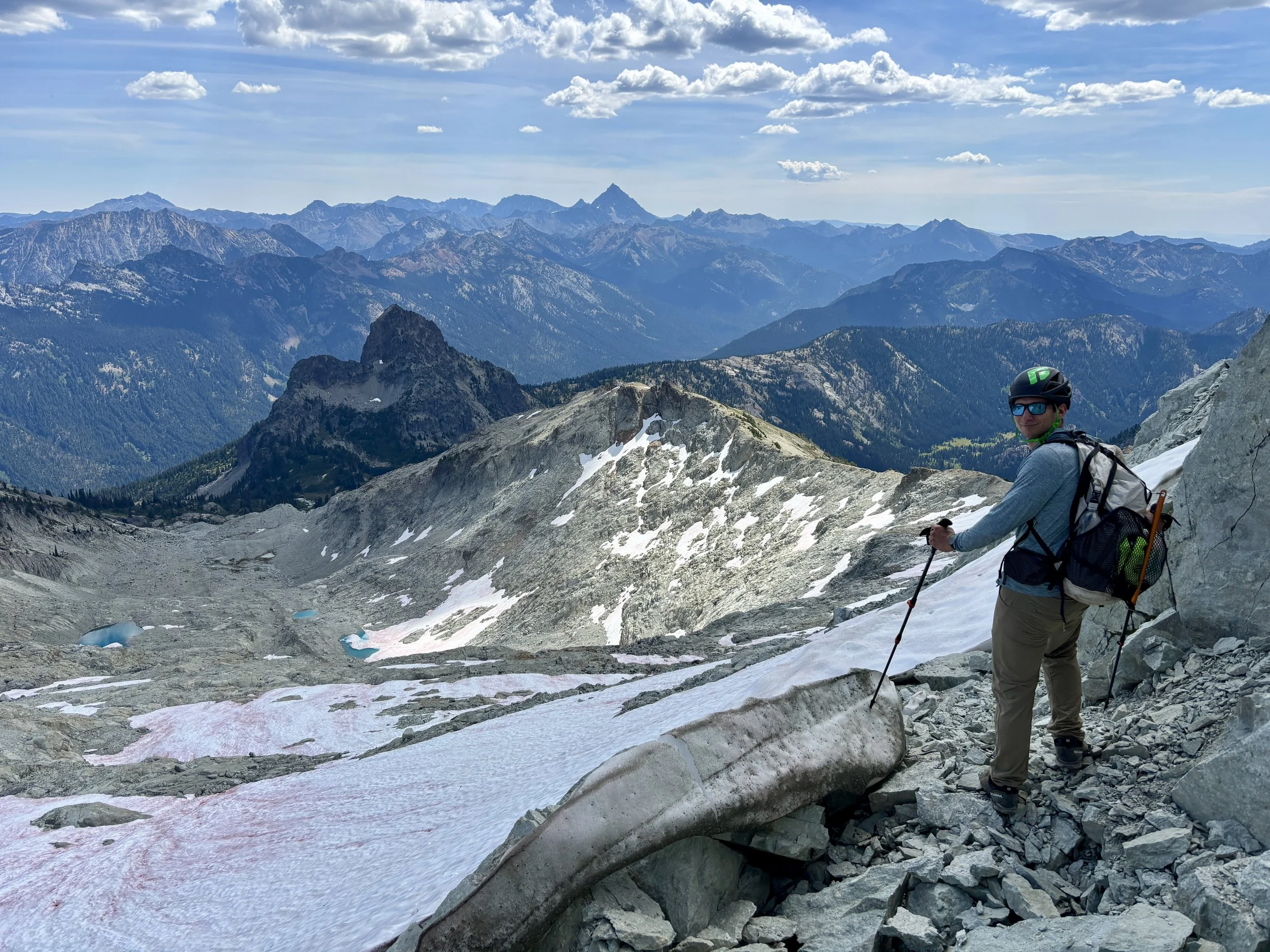
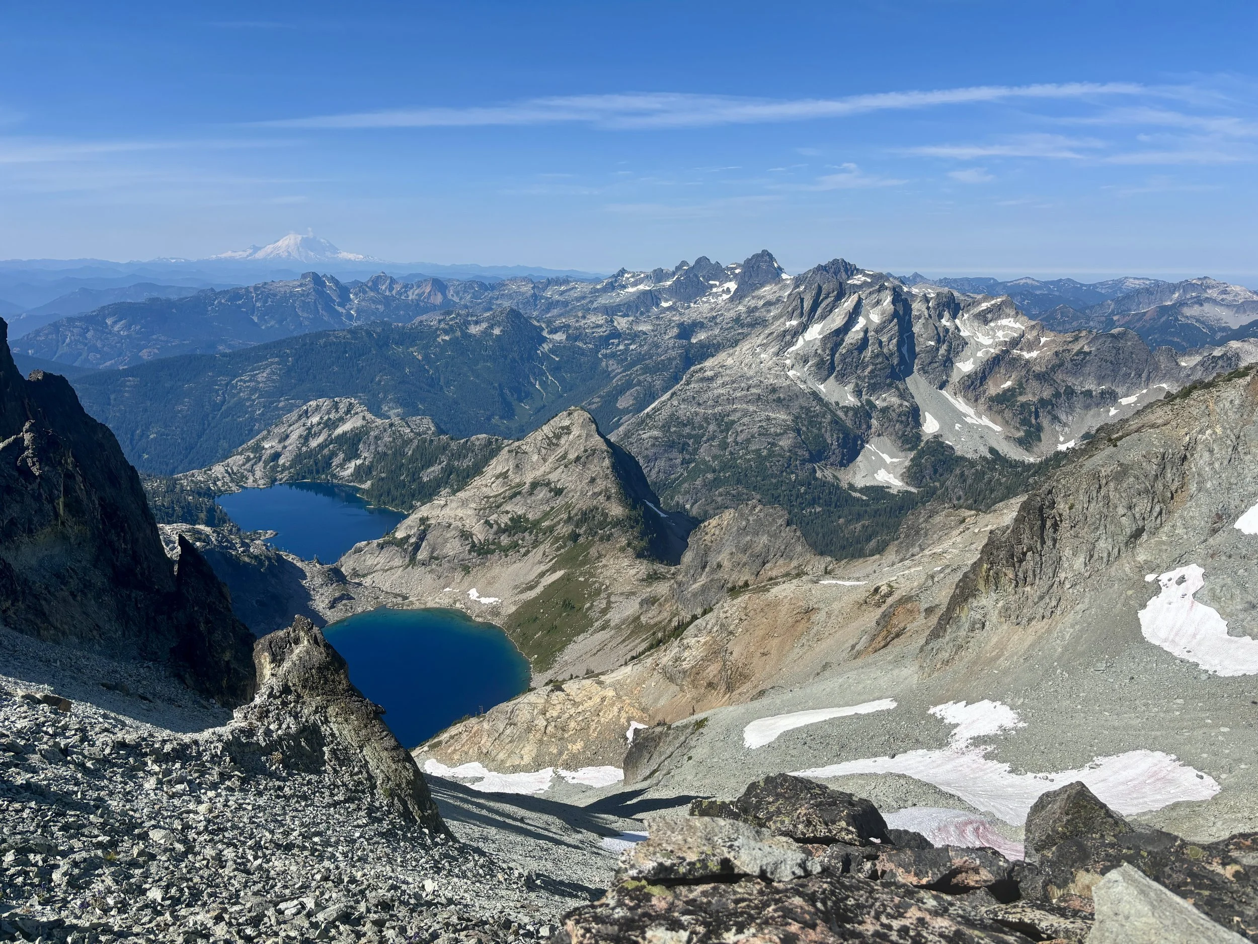
Every direction had breathtaking views. Lynch Glacier and Pea Soup Lake to the north were mesmerizing to look at. I really liked the dark spires that rose up out of Mount Daniel’s southwest face. It looked like there might be some fun couloirs to ski there, but we couldn’t tell if any of them actually went. Looking towards Venus and Spade lakes with the dark mountains of Summit Chief and Chimney Rock were also beautiful. And don’t forget Mount Rainier was behind all of this!
Once we were done with lunch, we had noticed a few clouds were appearing so we figured it was time to get going. We headed back out the exact way we came in. We made pretty good time getting back to the van, where we were ready to sit and make a big dinner. What a perfect day in the mountains!
If you are looking for a hike with views, this is it. I truly enjoyed this hike. I think I’ll be reliving the views of this hike for years to come.
Total Stats: 15 miles, 5000 ft of elevation gain.