Tenmile Traverse, Tenmile Range, Breckenridge, Colorado
The Tenmile Traverse has been on my radar ever since I moved to Summit County. For those that don’t know, the Tenmile Traverse is a ridgeline traverse of the Tenmile Range, the range that goes from Frisco to Breckenridge, Colorado. All of the peaks from Mount Victoria to Peak 10 would be summited in one outing. Class 3 scrambling is required. We would be doing the traverse from north to south (Frisco to Breck). I knew a variety of variables were going to to need to line up for me to feel ready to do it: fitness, competency in off-trail navigation, scrambling capabilities, proper fueling, and, of course, weather. After a summer filled with long days spent in the mountains where the focus was on many of these things, Mike and I were thinking the first good weather window we got in September would be our opportunity. With the forecast calling for a beautiful, sunny day with highs around 70 later that week, we knew we had our window.
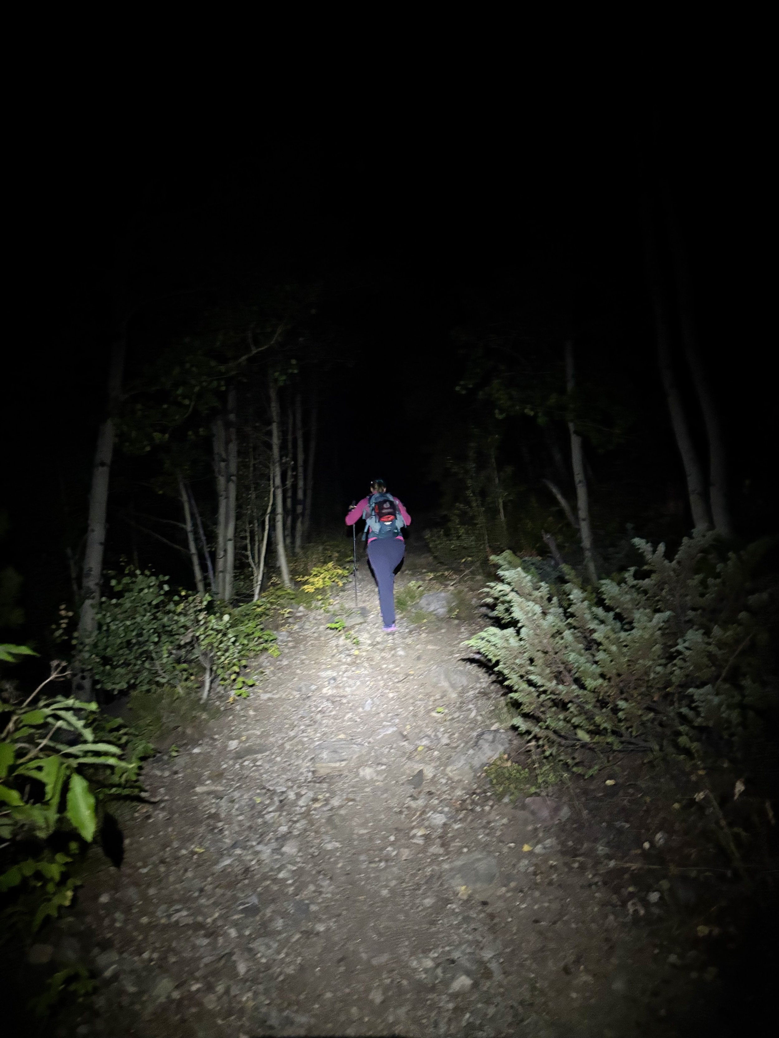
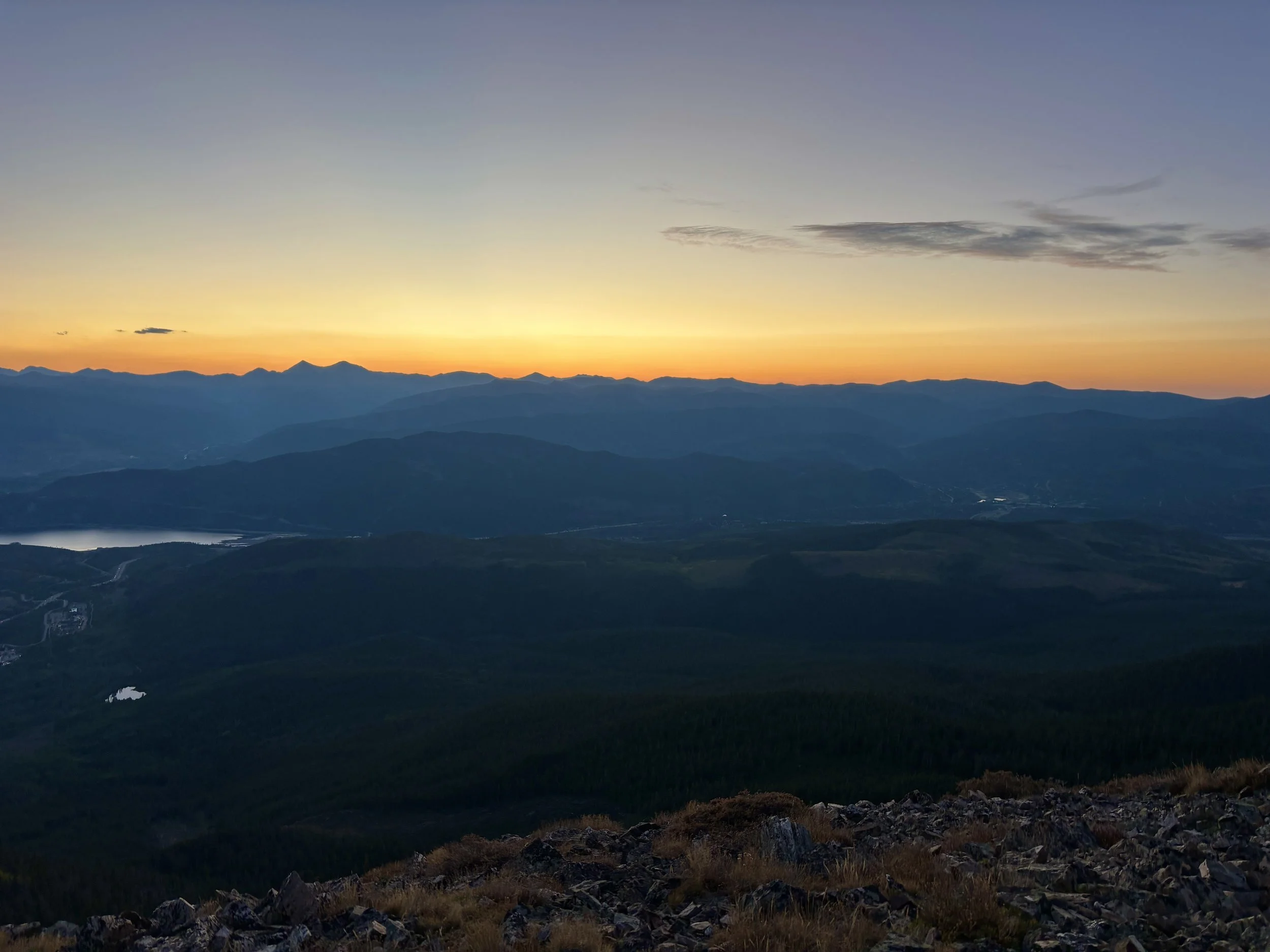
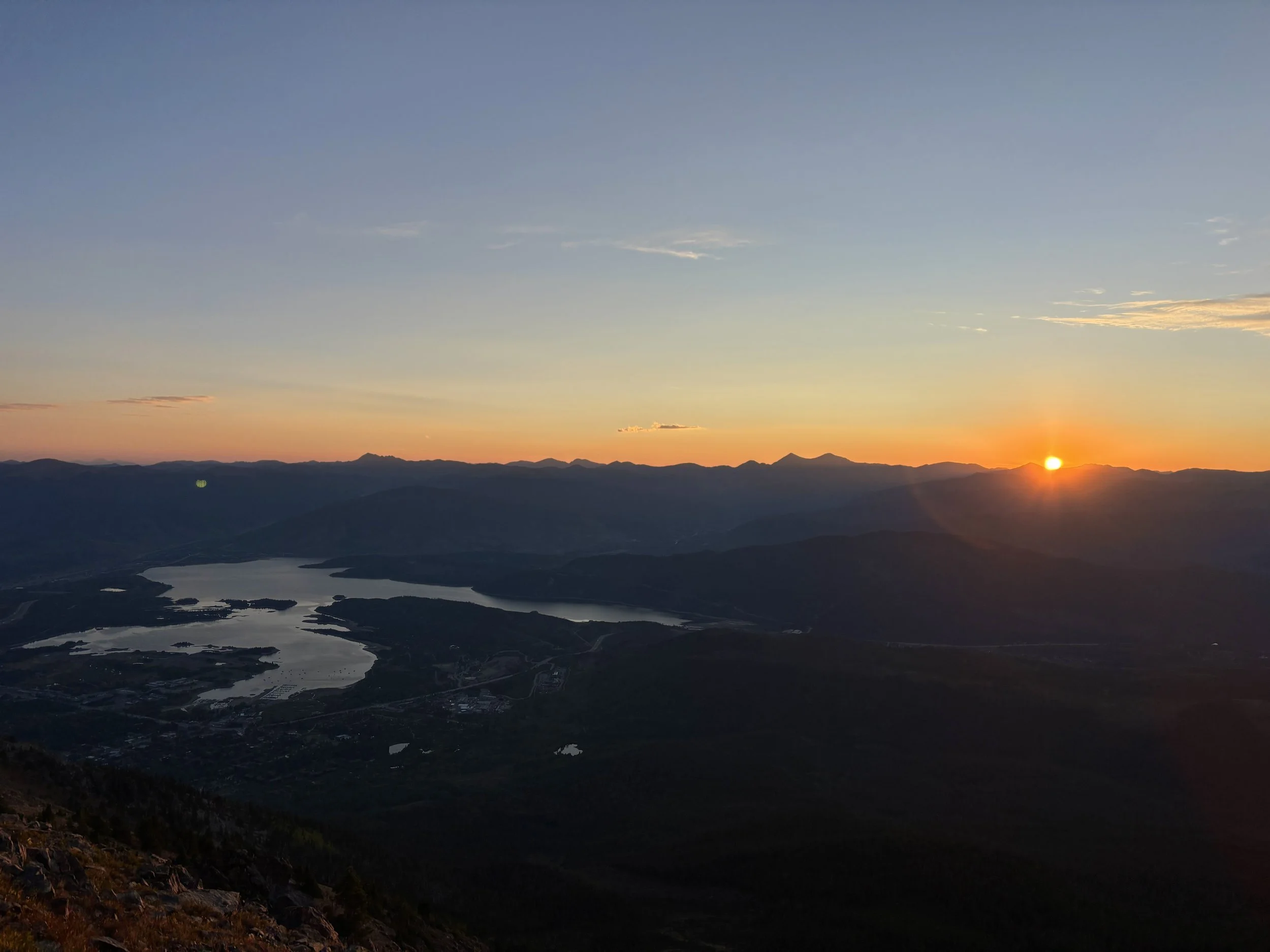
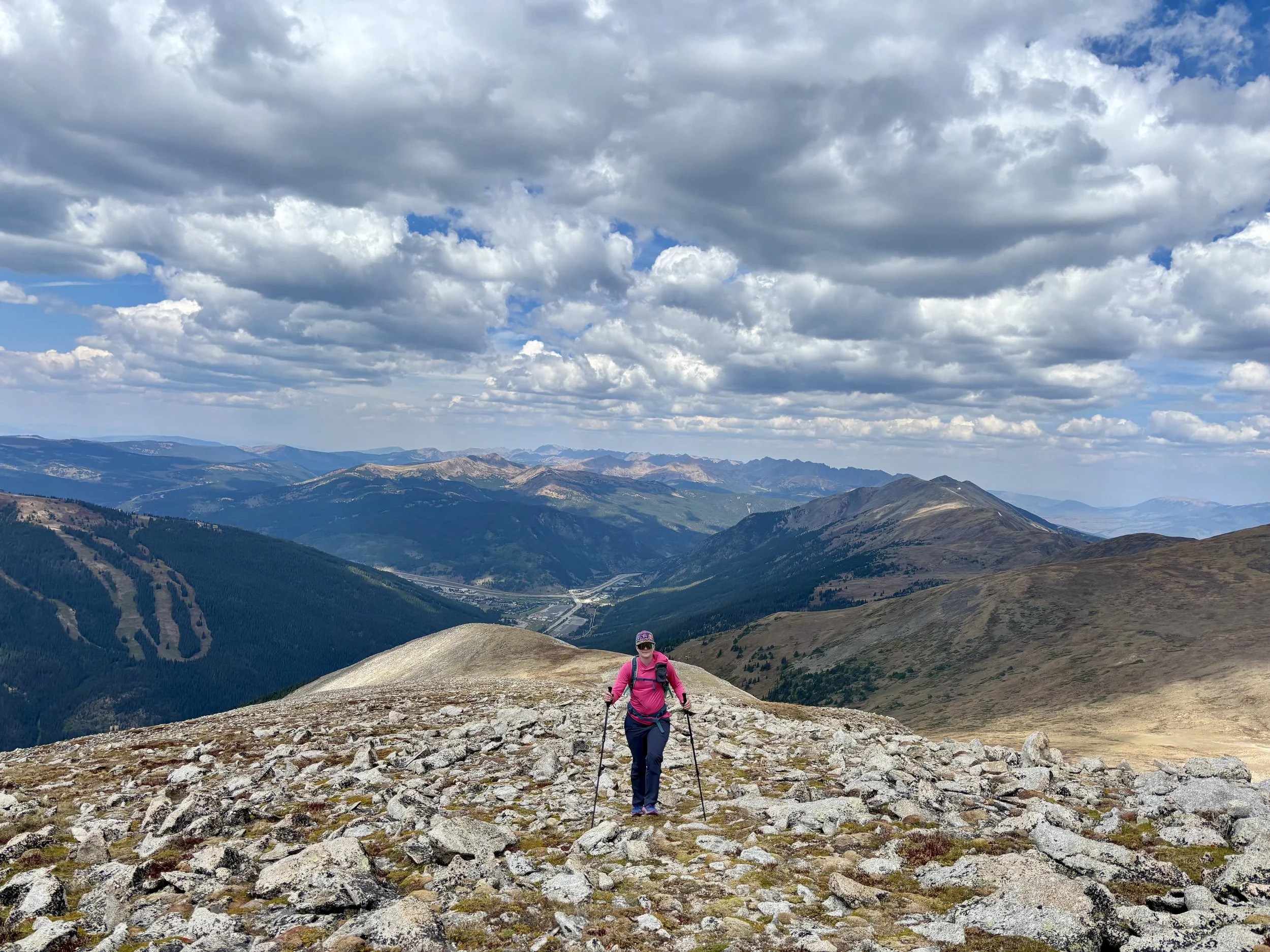
We set out in the dark from the Rainbow Lake Trailhead in Frisco around 4:30 am. With our headlamps guiding us, we started up the Mount Royal Trail. This trail is one of my least favorite trails in the county as it’s quite steep and loose, but steep was going to be the theme of the day so it was time to embrace it. We then turned onto the Peak One trail and followed it up to the summit of Mount Victoria and then up to Peak One. The sun had just started to rise over the horizon as we neared the top of Peak One, and we welcomed the warm sun on our faces as we took a quick snack break.
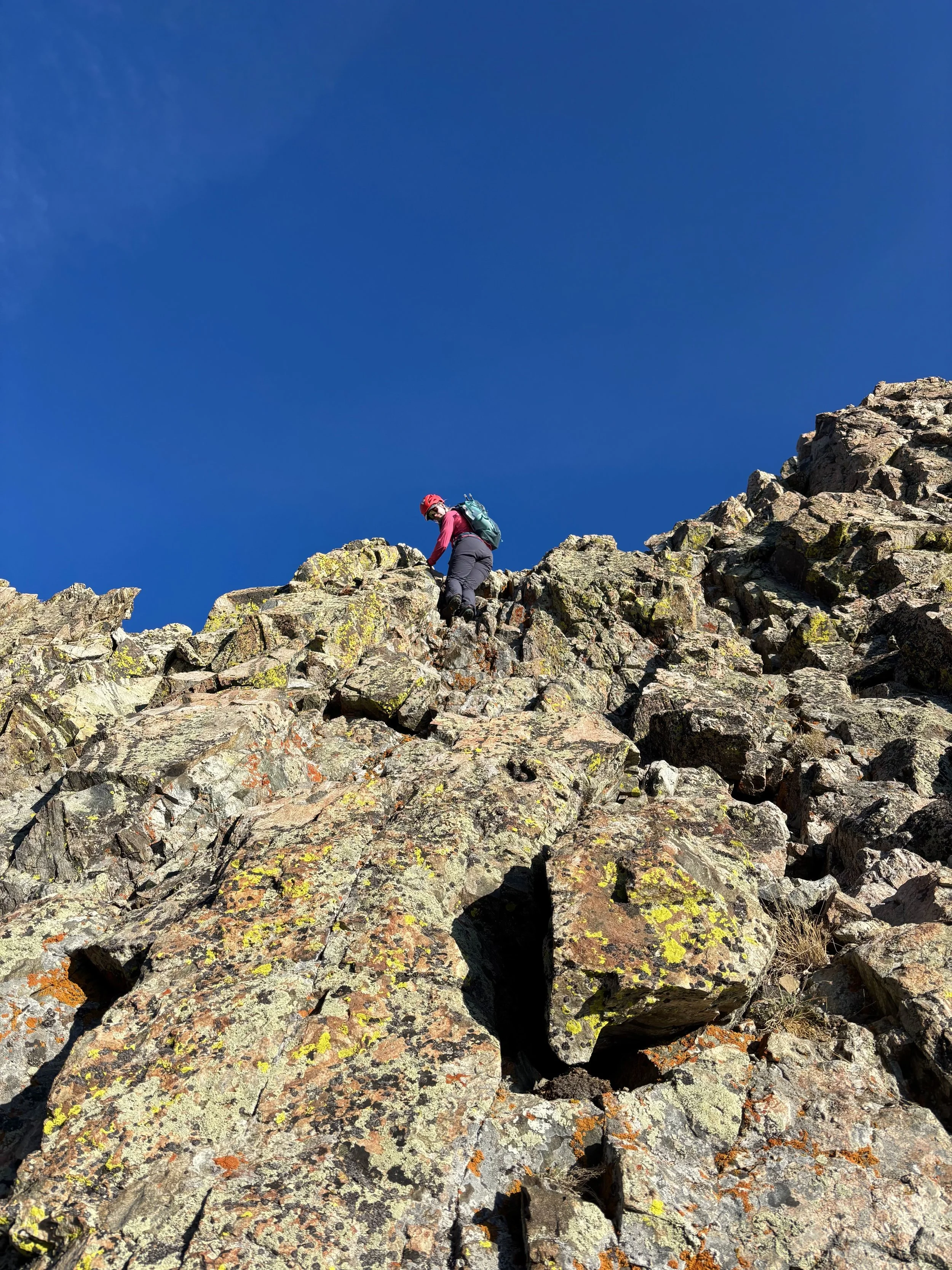
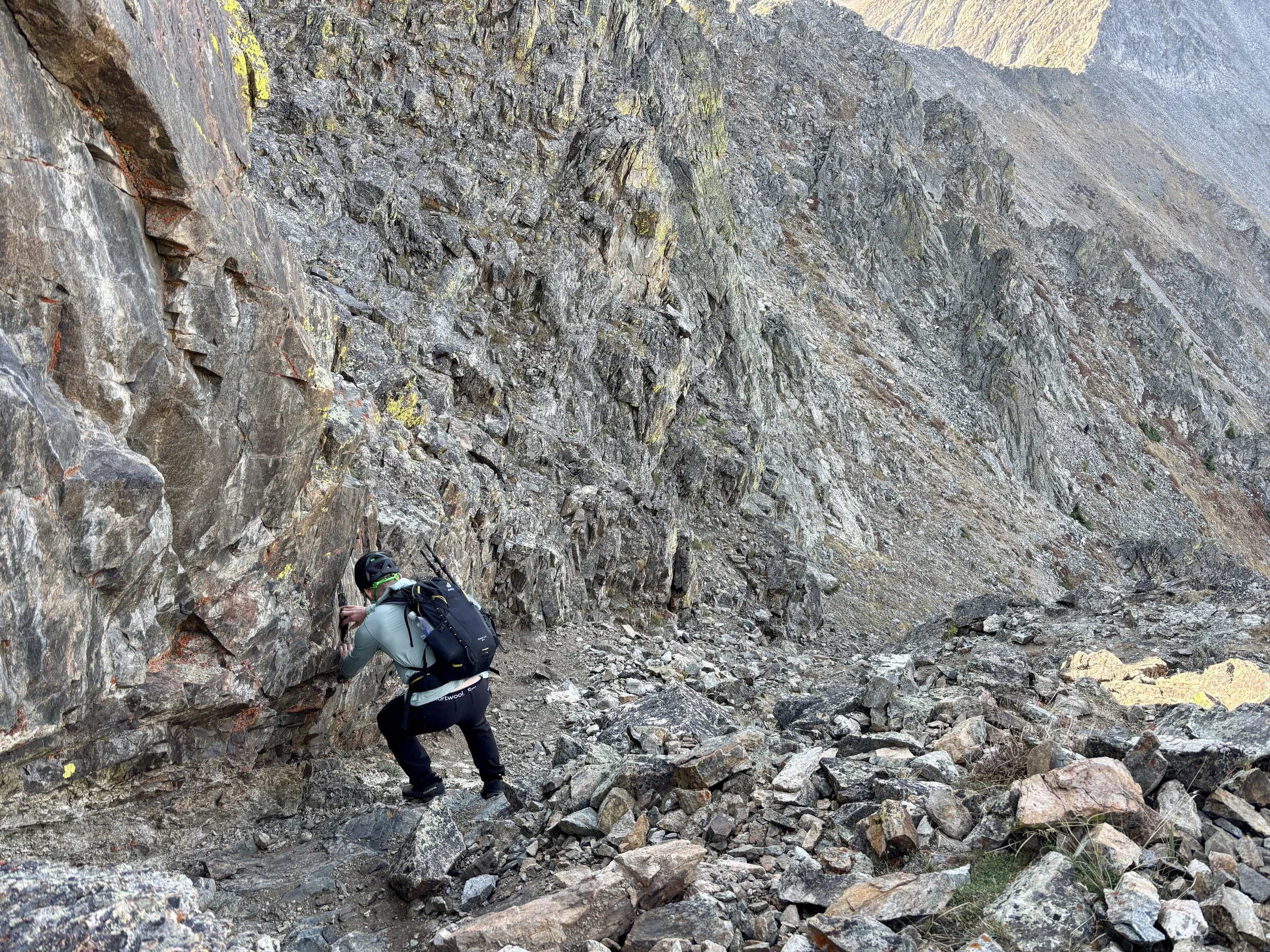
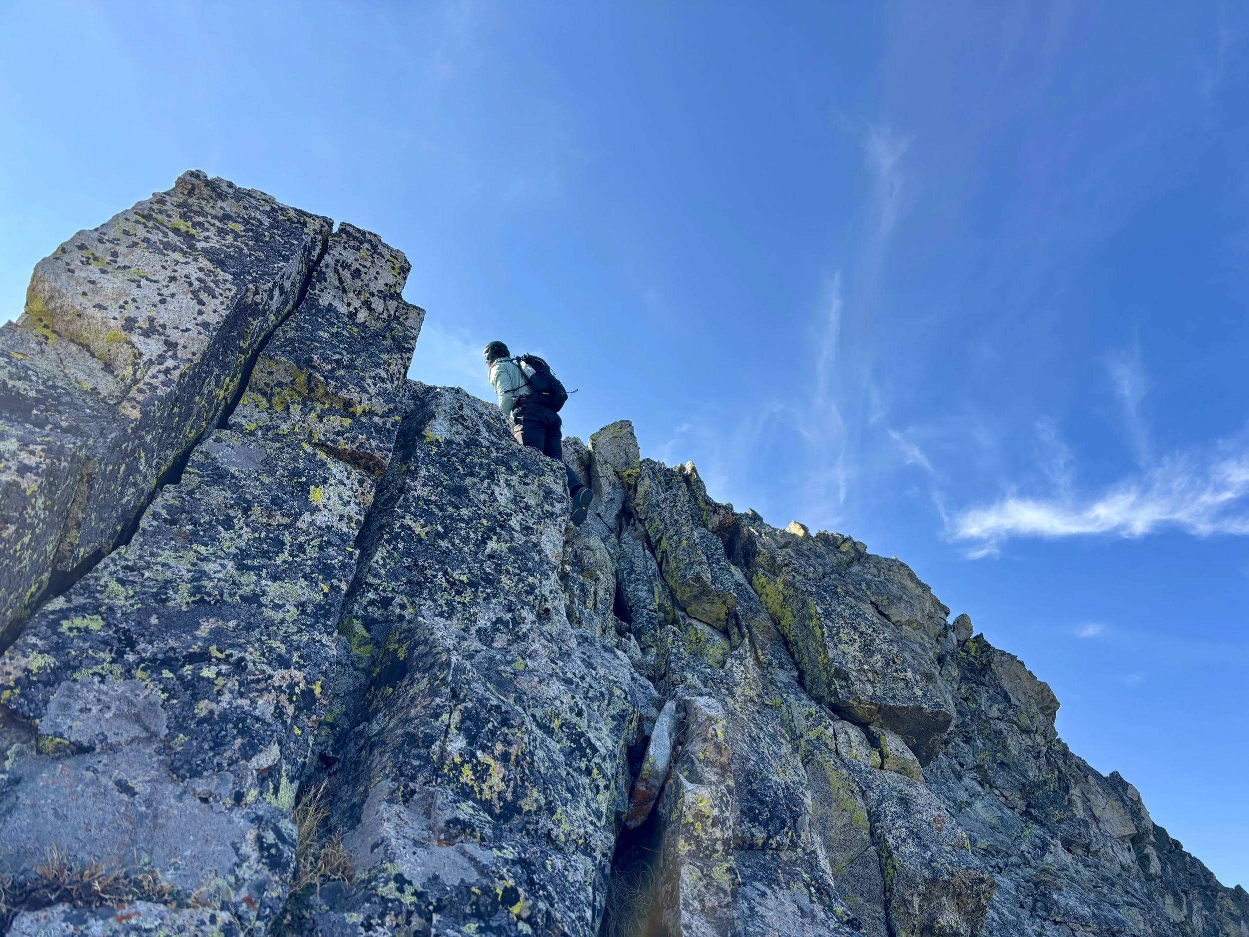
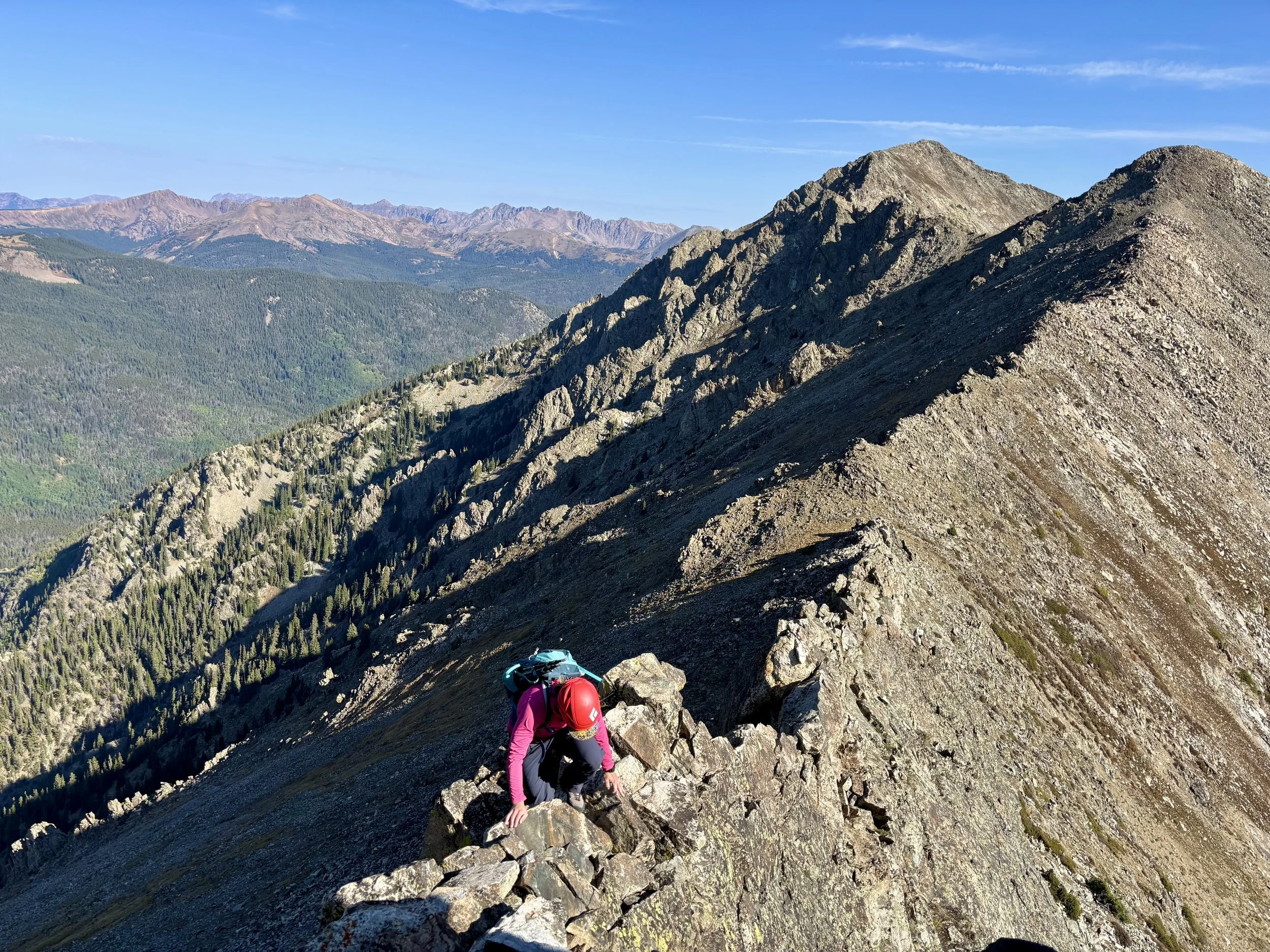
We didn’t linger long as we knew we had a lot more ground to cover so we continued along the ridge to Tenmile Peak. This ridge looked worse than it actually was, and we made pretty good time hiking over to Tenmile Peak. Once we got to this peak, we knew the real fun was about to start. Most reports online say the ridge between Tenmile Peak and Peak 3 is the crux of the route, with mandatory class 3 and optional class 4 scrambling. We tried to stay true to the ridgeline as best we could, but occasionally found ourselves dropping to the left or right in order to go around something that would require more rock climbing than we were looking to do. As we approached the Dragon, we easily found the path to the right that bypassed it. We followed a use trail until it started to become more faint and then worked our way back up to the ridge. Once back at the ridge, we pretty easily scrambled up to the top of Peak 3.
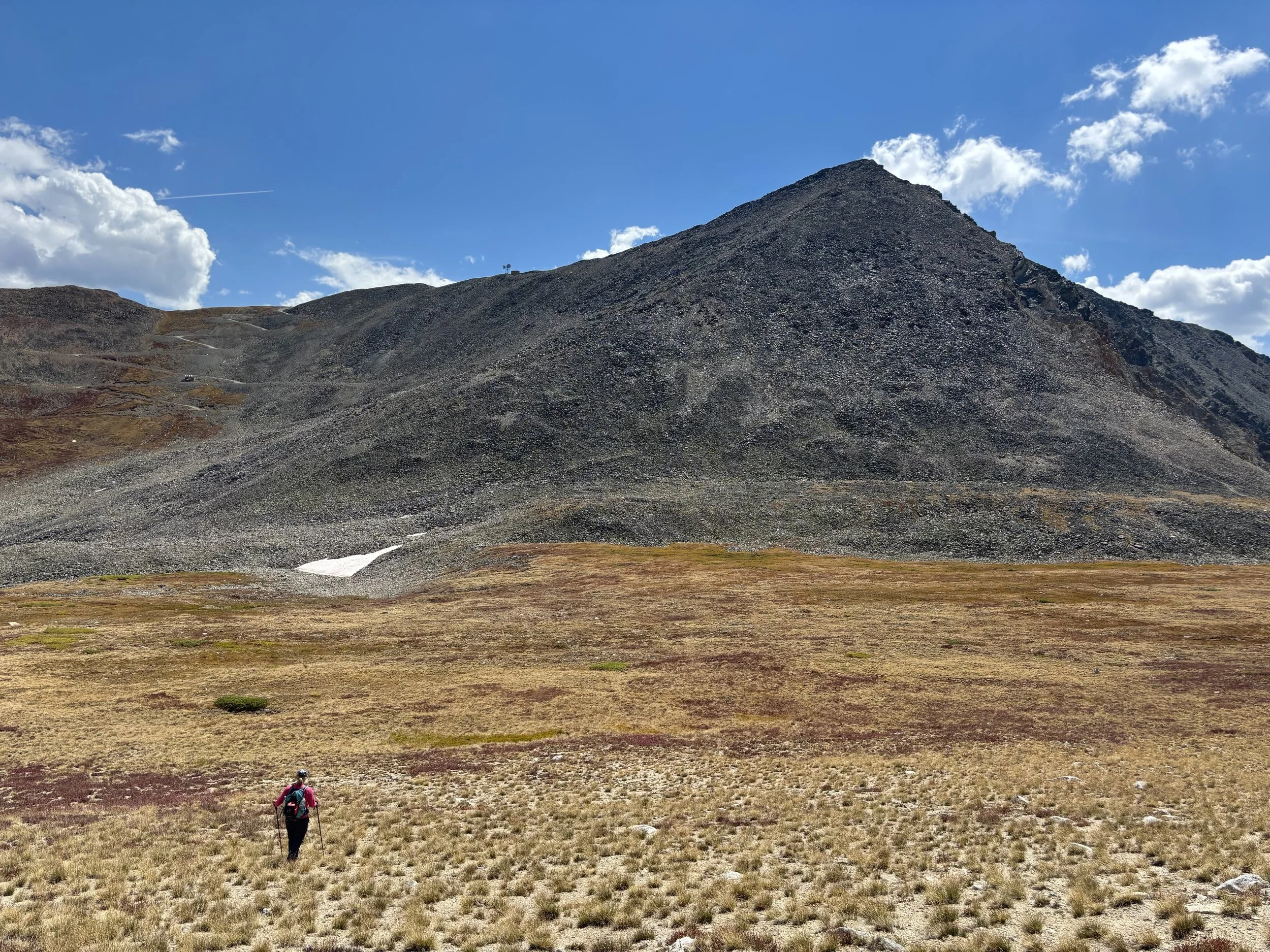
The ridge between Peak 3 and Peak 4 looked more intimidating than the ridge had looked between Tenmile Peak and Peak 3, which was supposed to be the crux. We descended the south ridge of Peak 3 and once we got to the saddle to begin the ascent to Peak 4, it was clear that we had some class 3 scrambling ahead of us and route finding would be key. We stayed ridgeline-proper, except for in a few spots, and I didn’t come across any scrambling that was above class 3. If you find yourself in class 4 or class 5 terrain, you missed an easier option. I found this part of the day to be the most fun. The rock was very solid and the scrambling was very enjoyable. As we approached the top of Peak 4, we had the weirdest experience of our day. When we were about 1/3 of a mile from the top, we realized there was a naked man in his late 30s that was taking photos of himself at the top. He had a tripod for this phone that he would set up and then he would walk out in front of the tripod and stand naked, looking out across the mountains. He did this for about 15 minutes. Thankfully, he put his clothes back on as we approached. We had already leapfrogged a few times with him earlier in the day, but the leapfrogging got more awkward after watching this photoshoot occur as we really weren’t sure what to say to him after that experience.
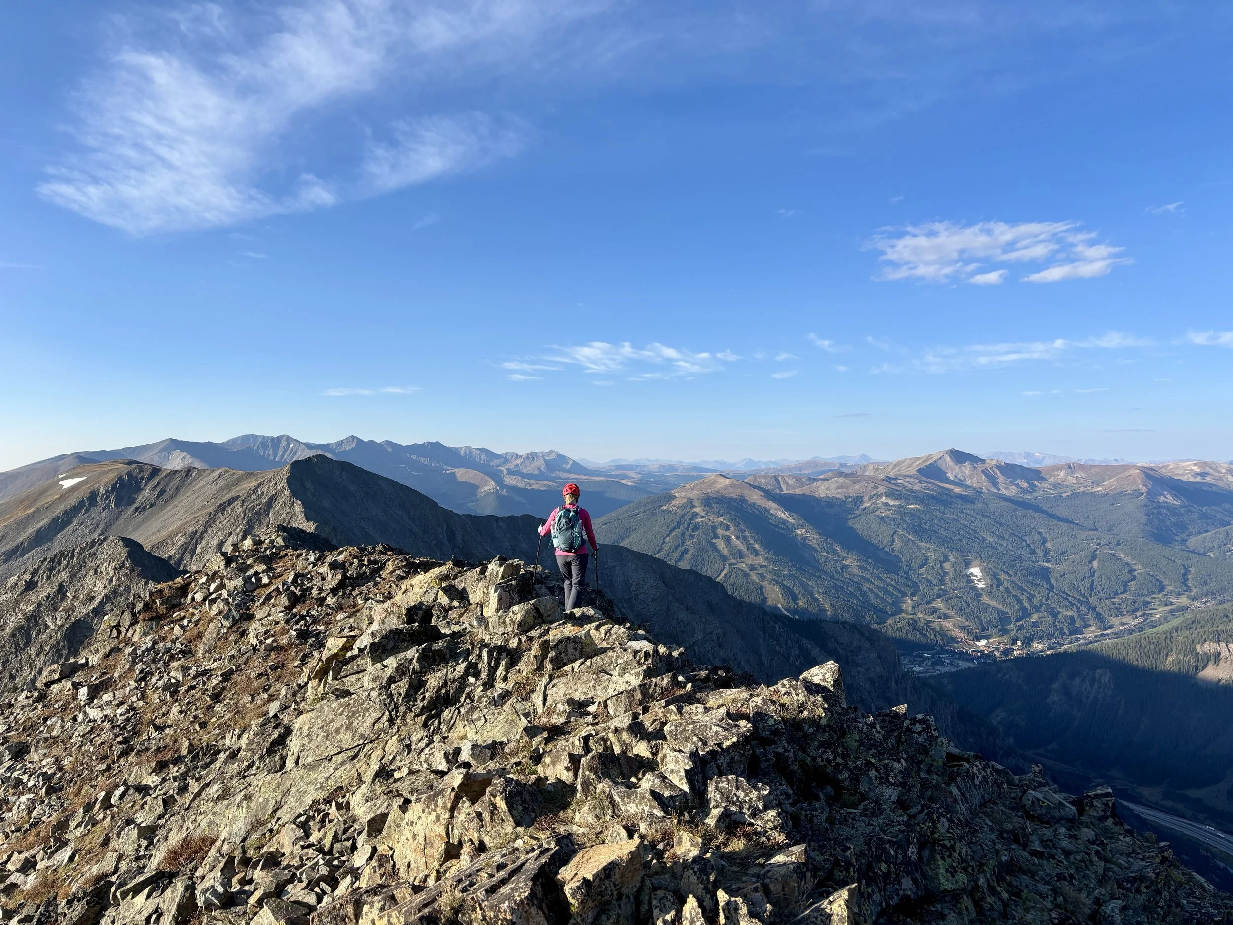
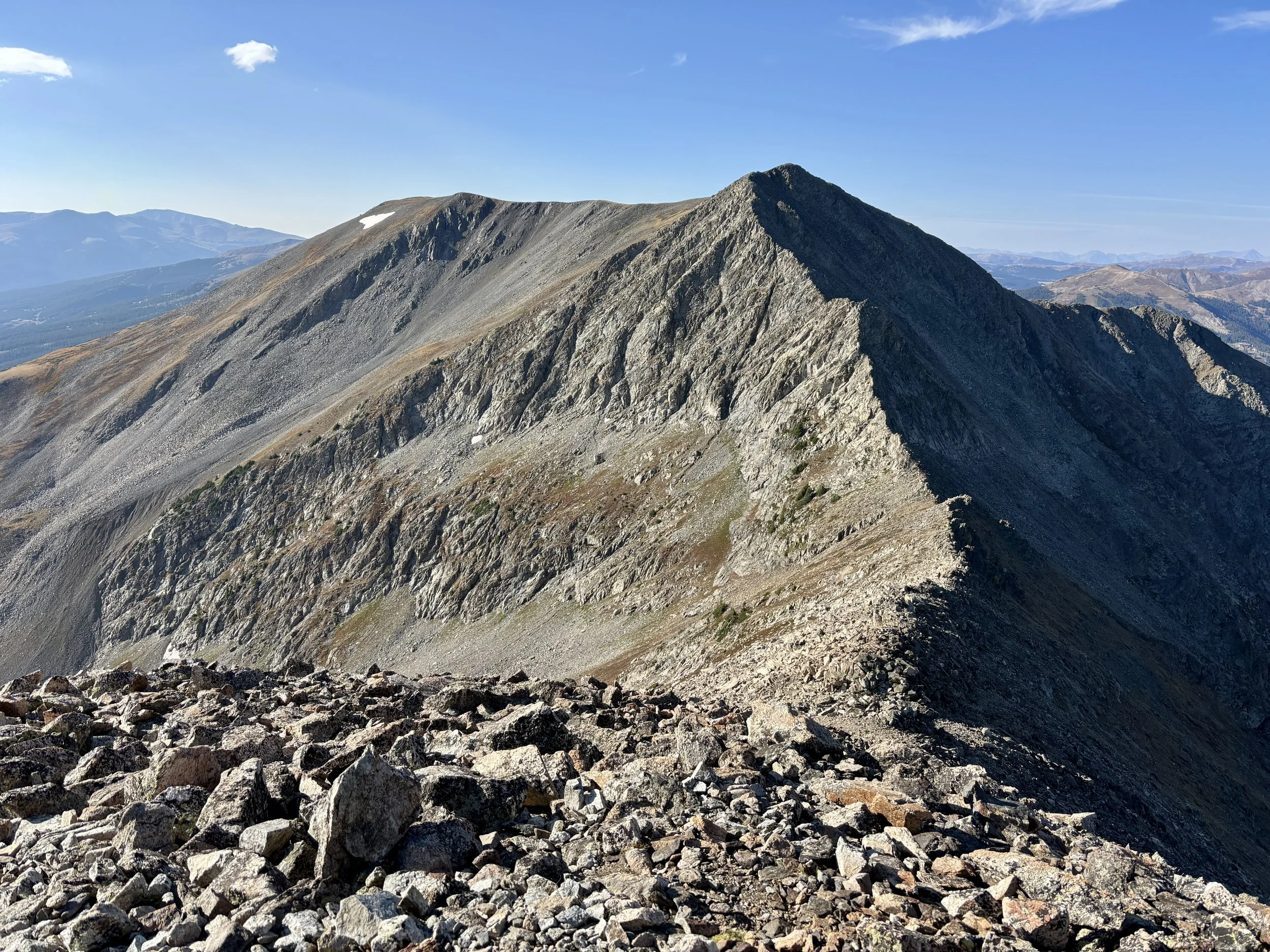
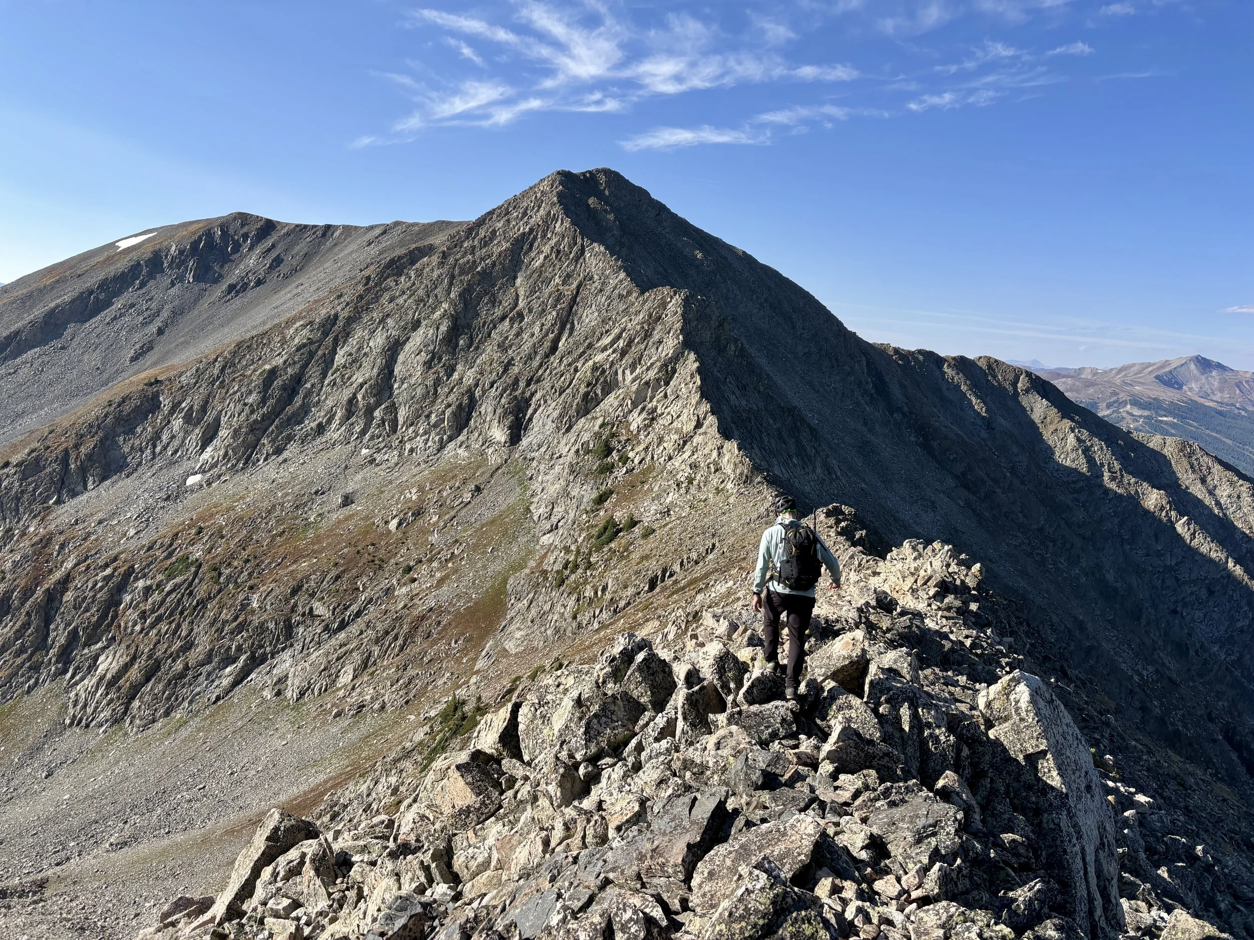
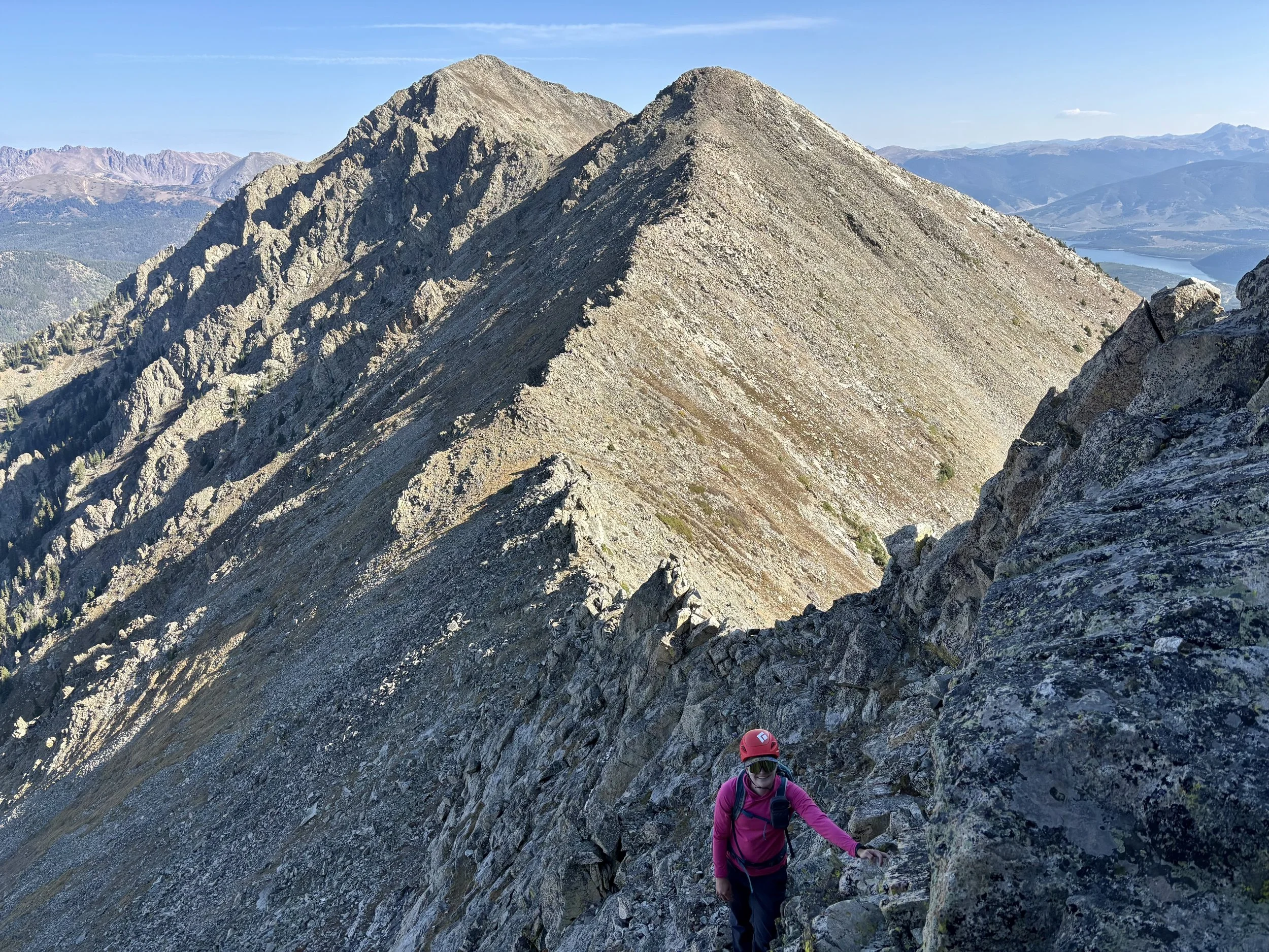
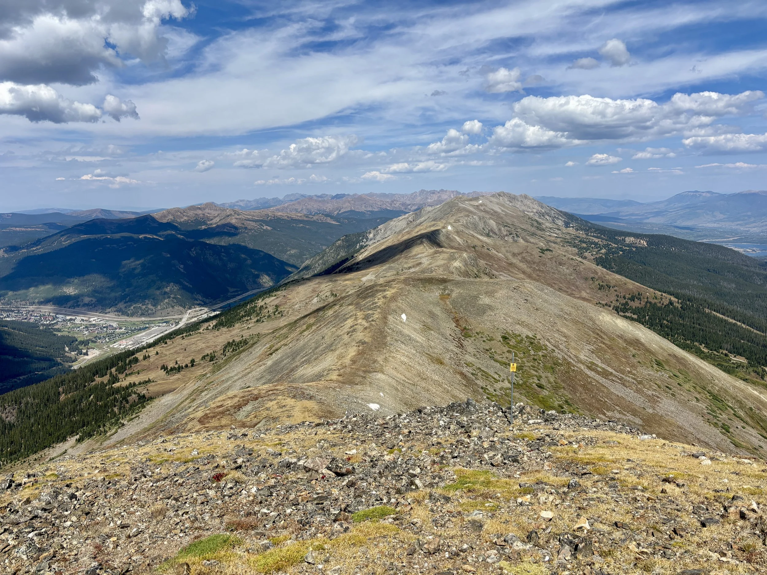
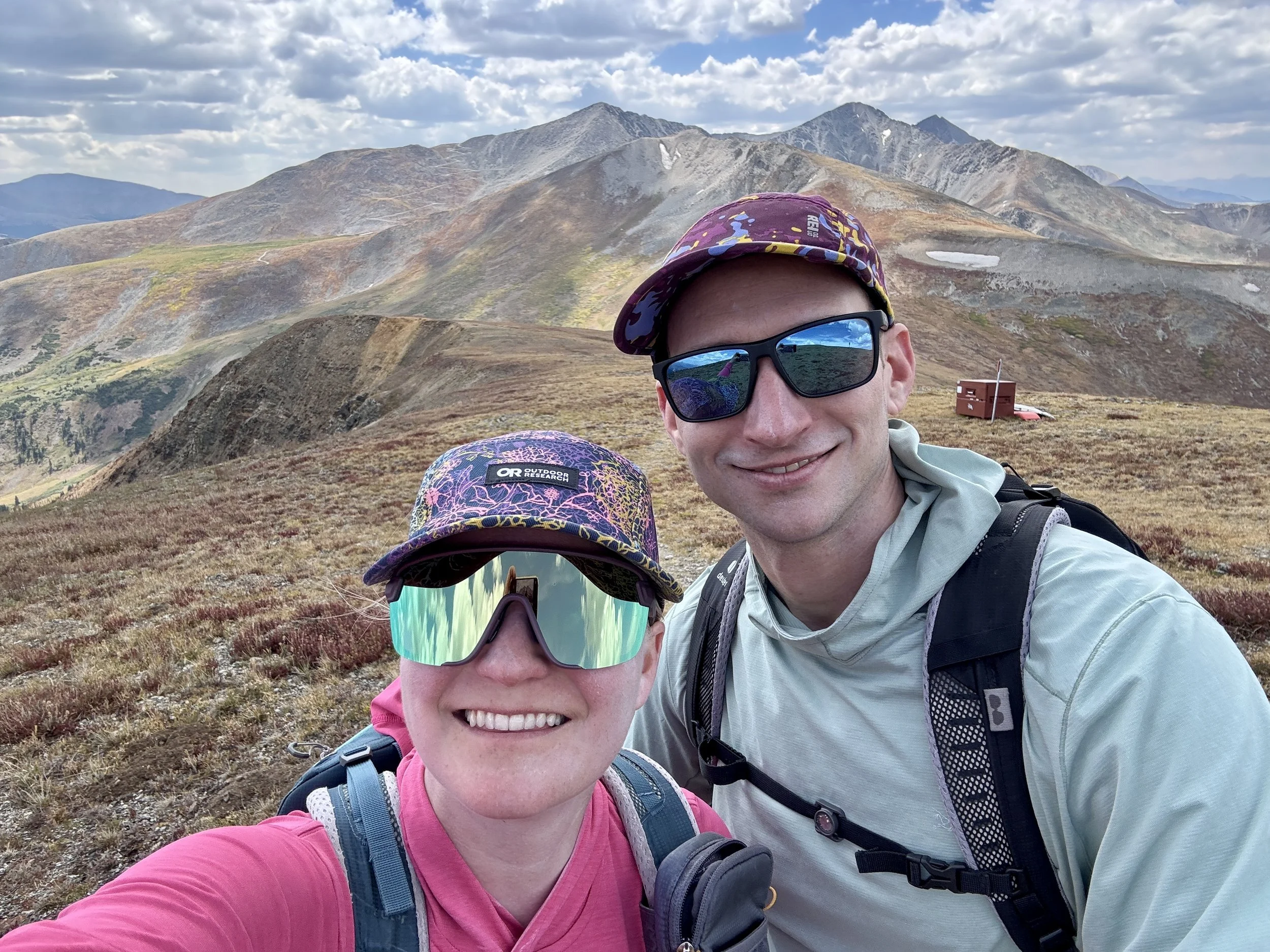
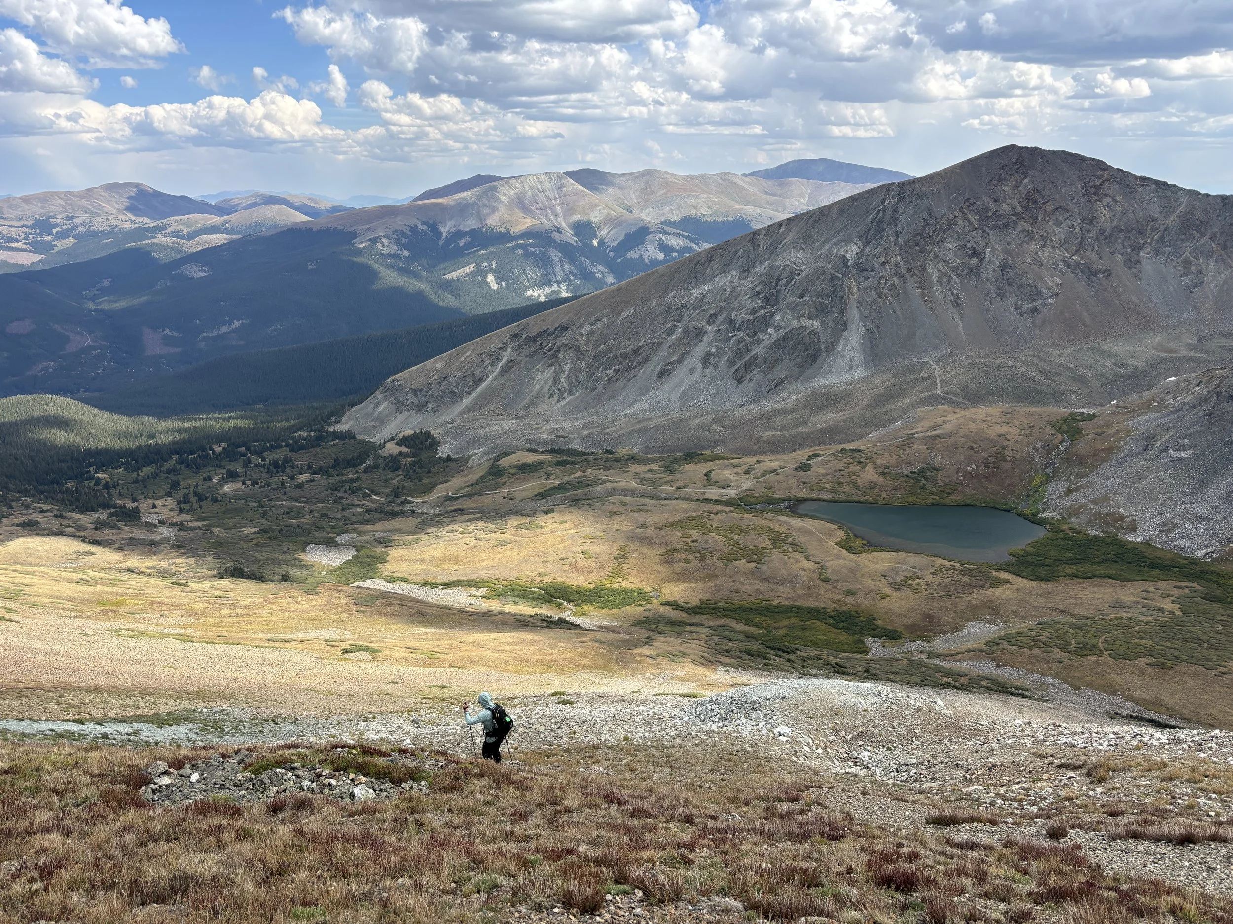
Once we got to the top of Peak 4, thankfully the naked man had already started hiking again (clothes back on), so we had the summit all to ourselves to take a short break and celebrate having the most technical part of the day behind us. As we looked south, Peaks 8, 9, and 10 loomed large, but still quite far away, and I had a feeling that Peak 10 would be the hardest peak of the day.
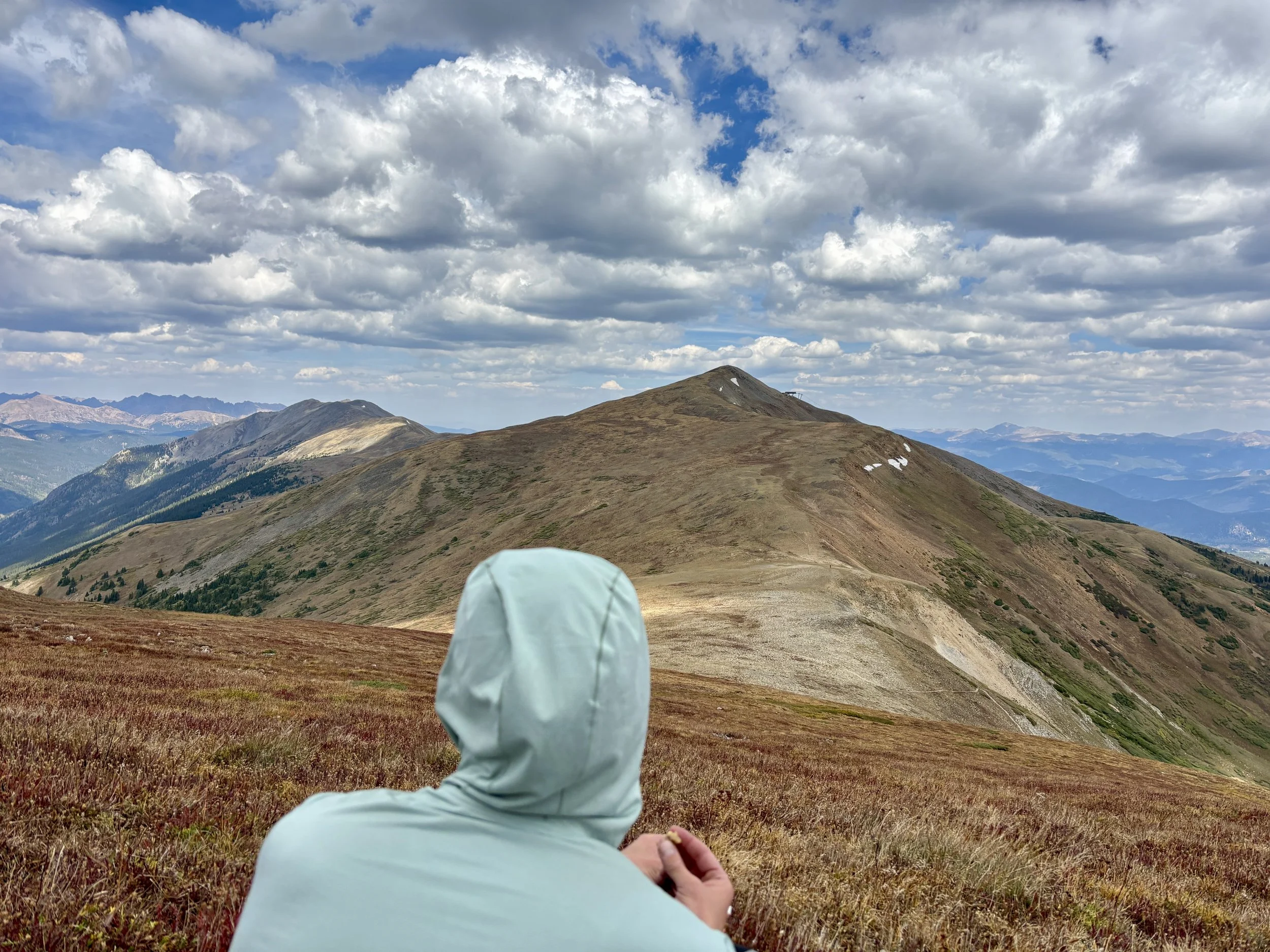
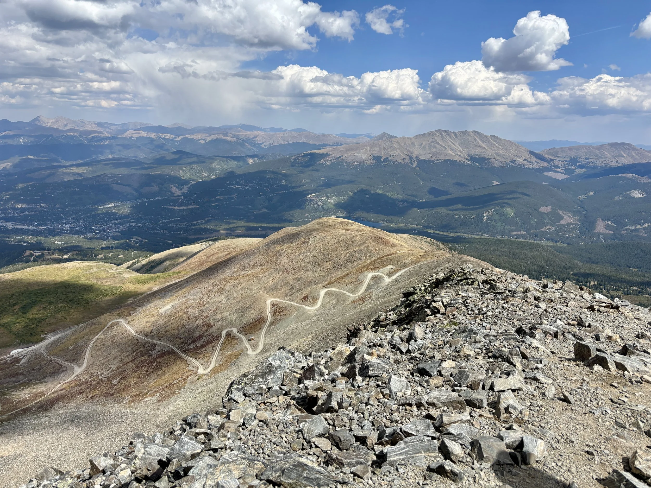
We started out towards Peak 5, which would be the easiest peak of the day as there was little elevation gain or loss from Peak 4. As we approached Peak 6, we started seeing more “Ski Area Boundary” signs. Halfway between Peak 5 and Peak 6, we picked up the Colorado Trail and followed that for a short while. Peak 6 was pretty uneventful, but we really enjoyed the 360 degree views of mountains that we were getting.
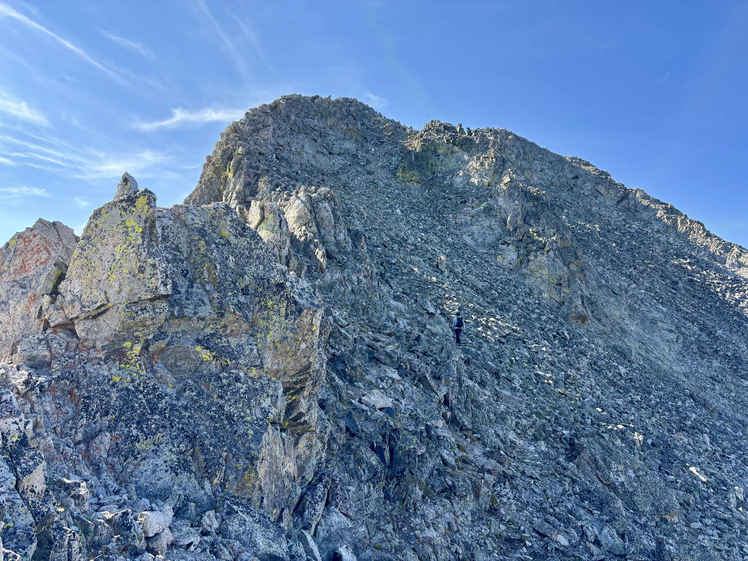
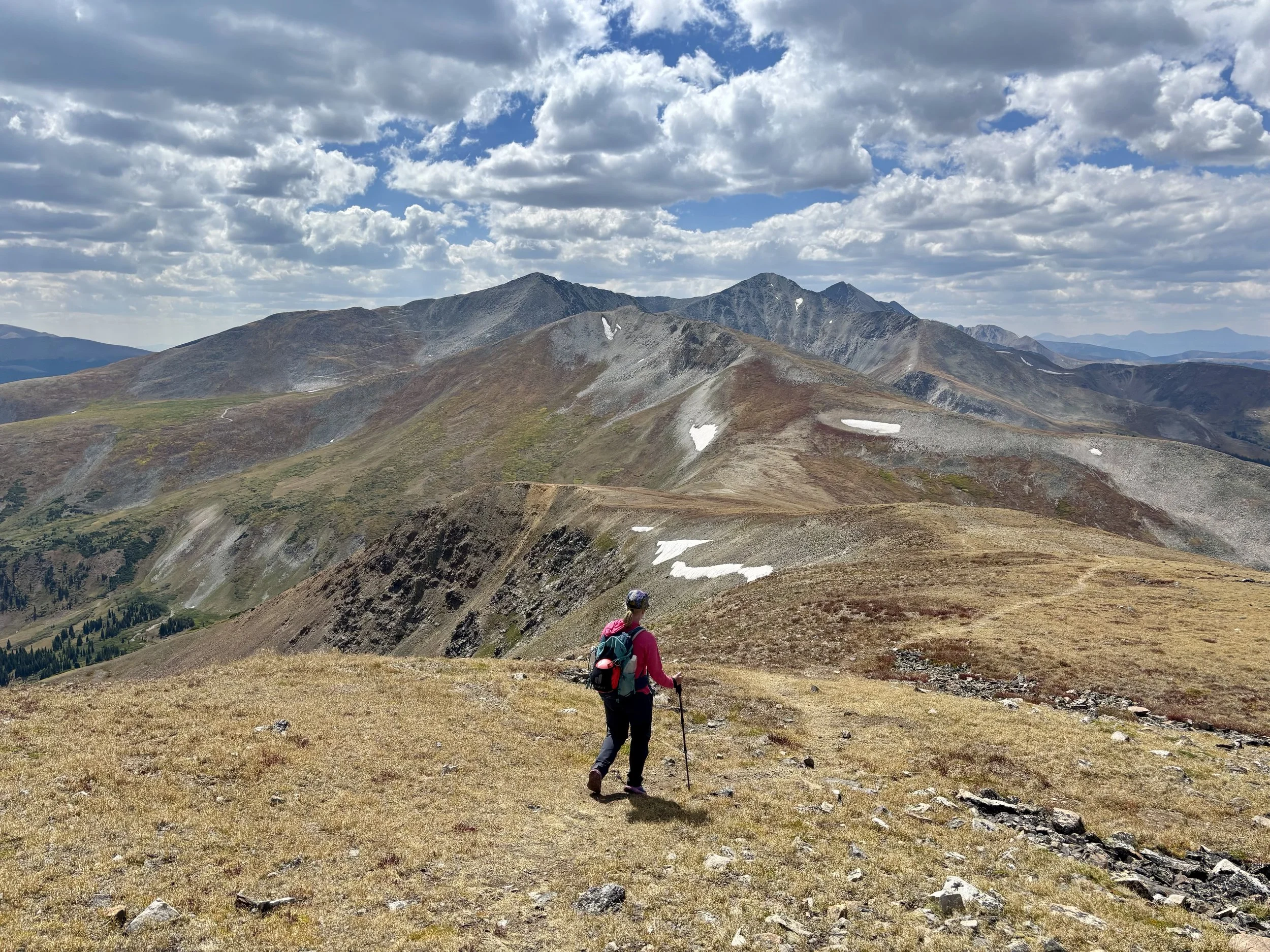
At this point, I was starting to feel a little tired and was not very excited for Peak 7 or 8 in front of us. We lost quite a bit of elevation as we descended Peak 6, which was frustrating as we could see that we would very shortly have to gain it all back. My pace slowed as we headed up Peak 7 and 8 as I found myself more easily out of breath than normal. I think the day was starting to catch up to me. At the top of Peak 8, the naked picture taker was taking a break so we didn’t take a break ourselves and continued down to the saddle before Peak 9. We followed mostly grassy slopes to the ridge of Peak 9 and slowly worked our way to the top.
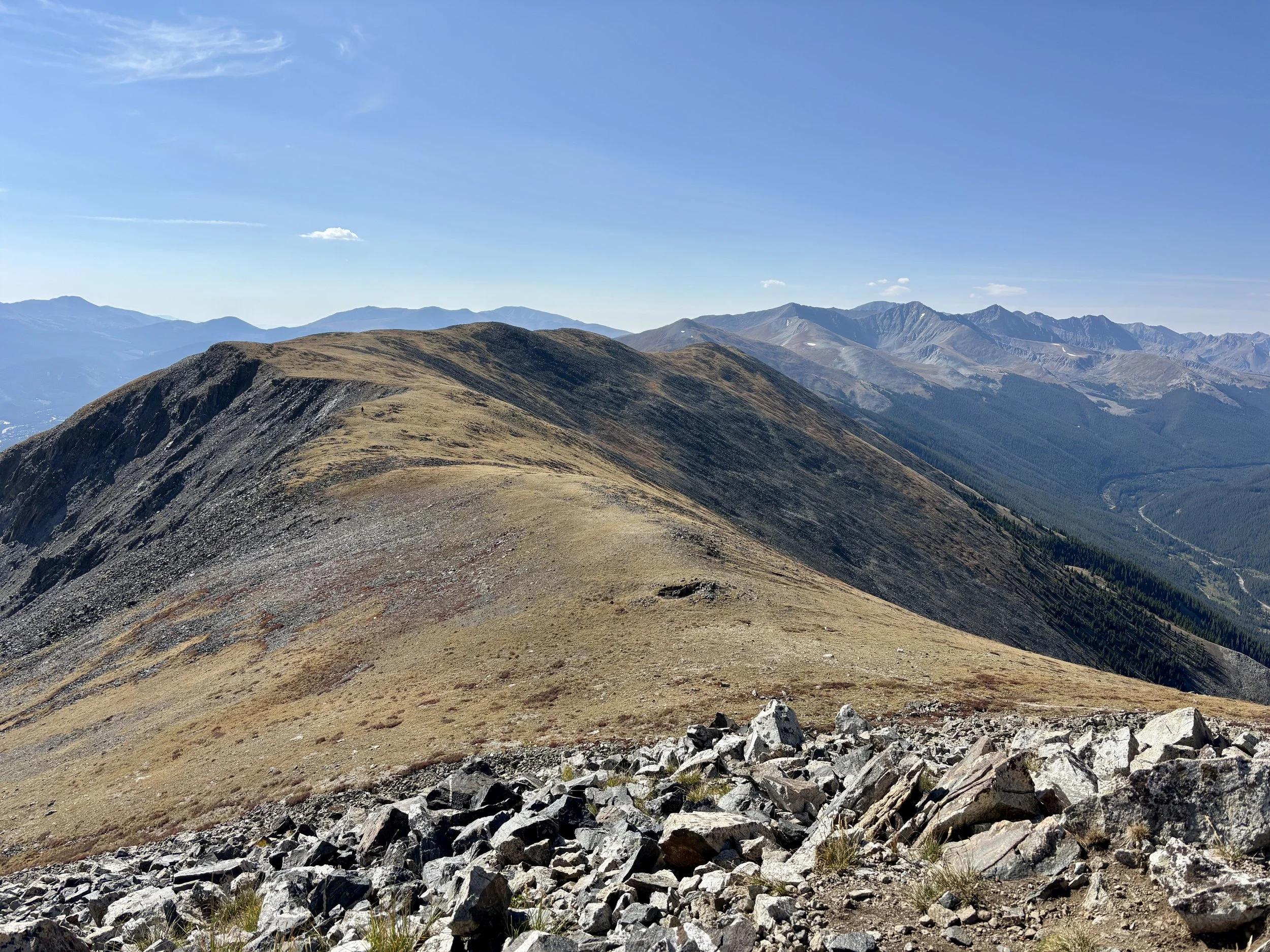
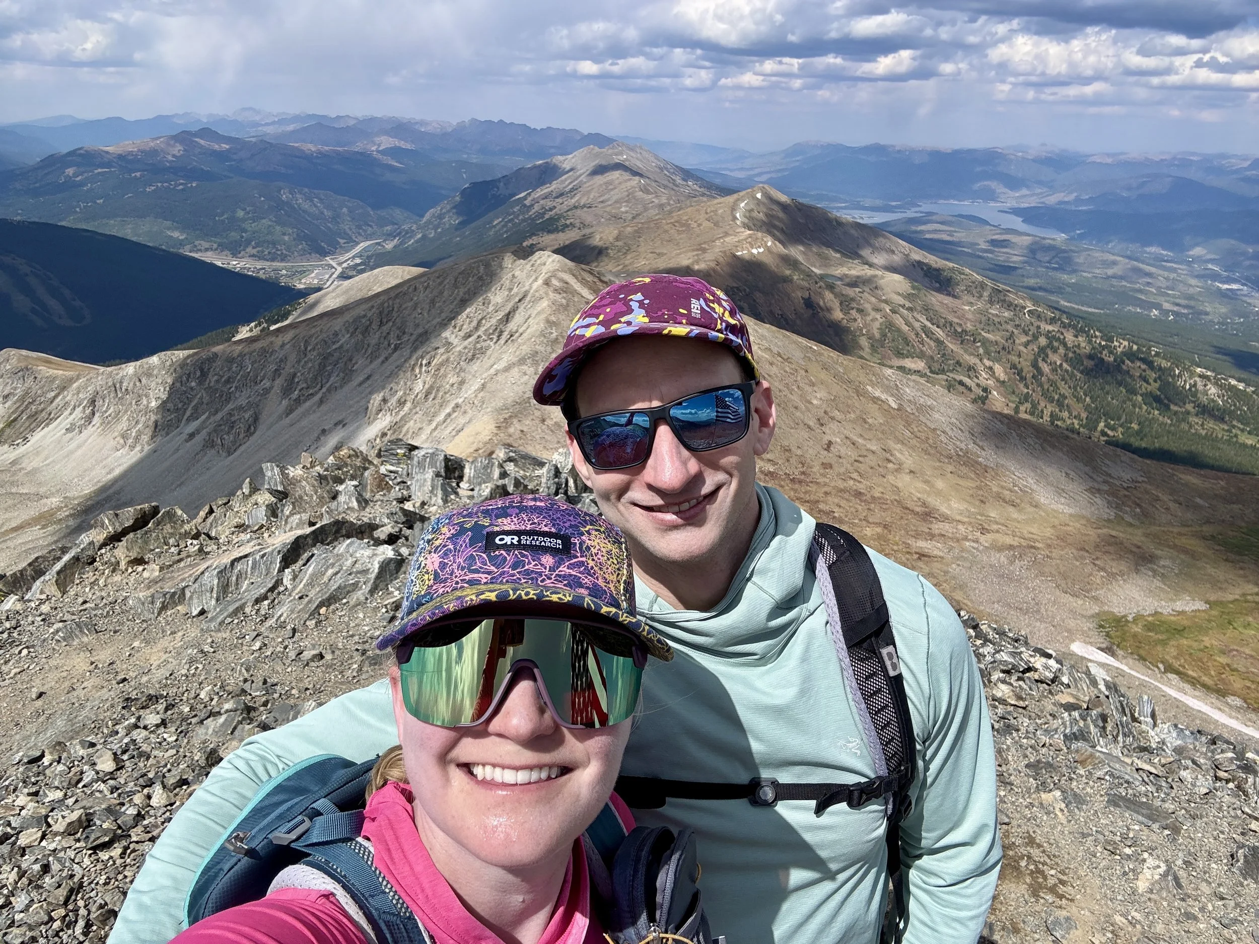
Once we got to the top of Peak 9, Peak 10 loomed large in front of us, and we spent a few minutes discussing the different route options to the top. Most options looked like a big scree field. I had decided that I was just going to traverse over to the dirt road and take that to the top. Mike was more interested in taking the northeast ridge. So we decided to divide and meet up at the summit. Once I made it to the summit, where Mike was already waiting for me, our smiles could not have been bigger. We were done with all of the elevation gain for the day. Woooooo! Now we just had to go down, which my knees were not very excited about.
The day before, we had parked one of our cars at the Spruce Creek Trailhead and that was where we were looking to end our day. We headed back down the east ridge of Peak 10 and then cut down to the Crystal Trail. We found ourselves in very loose gravel, which my left knee really didn’t like. Once we hit the trail, we had 3.3 miles left to the car and decided to pick up the pace as the rest of the day would be either on trail or on a dirt road. I have hiked and skied that dirt road many times before, but today it felt especially long.
Finally, we found ourselves back at the trailhead and couldn’t have been happier to get back to a car. We realized we made the mistake of not leaving any water in the car, and by that point we were both out of water. Thirty minutes later we were back at the Rainbow Lake trailhead where we thankfully did have some water in that car. It was cool to drive along the road that parallels the ridge we had spent the whole day on.
Overall, I really enjoyed this day. It’s always nice to do something that you’ve been thinking about doing for a while. I found the scrambling to be easier and less committing than expected. Meanwhile, the amount of vertical gain felt harder than I thought it would, even though I had done a lot of hikes with significant elevation gain this summer. In hindsight, the amount of elevation gain plus the amount of scrambling required made me more tired than anticipated. Getting up Peak 7 and 8 was the hardest part of the day for me. It still felt like there was a lot ahead of us and I was starting to feel tired. After that peak, I was still tired but Peak 10 felt “close,” and I knew I would finish. It was such a beautiful day in the mountains right in my backyard.
Stats: 17 miles, 9100 ft of elevation gain.