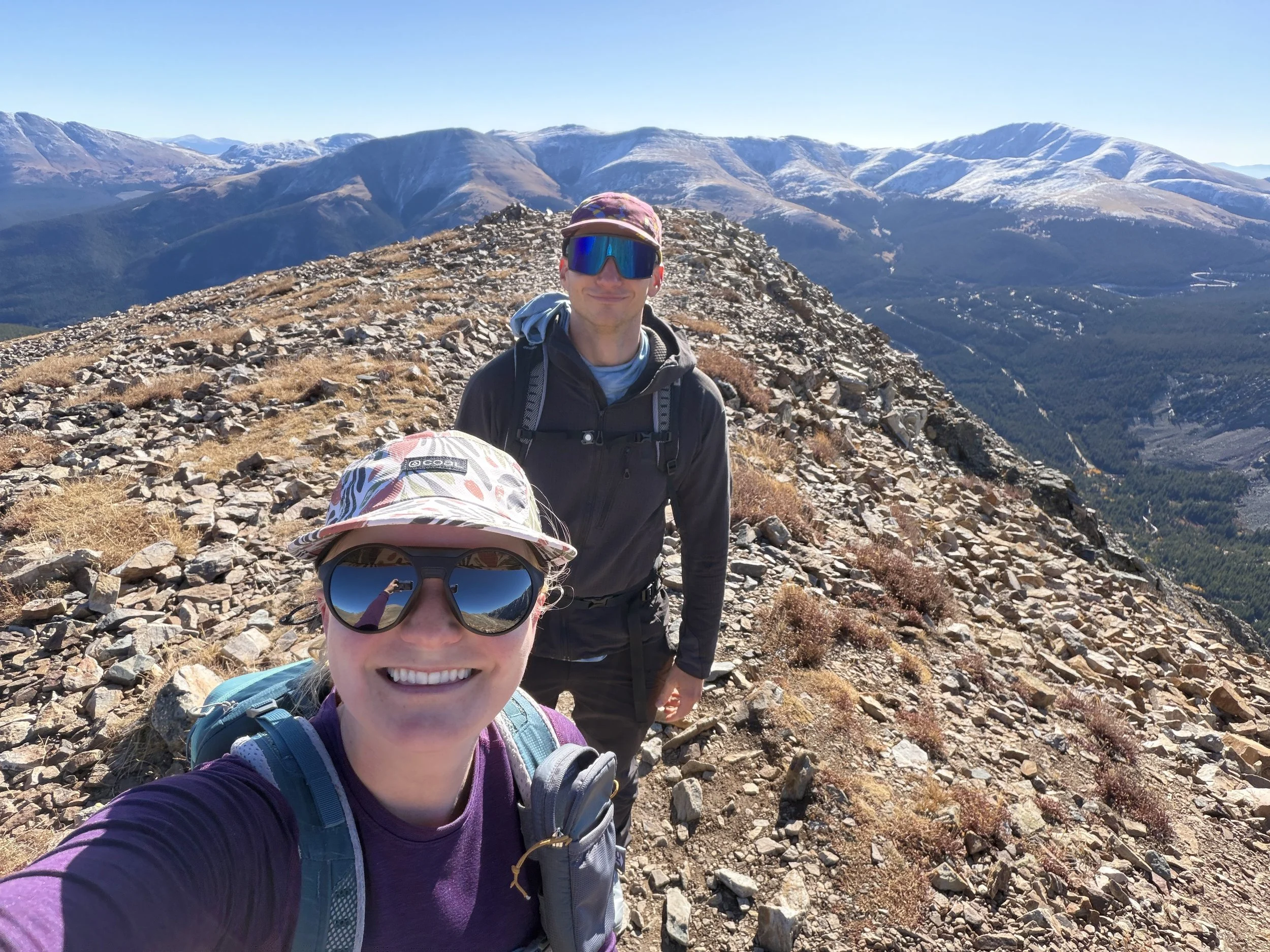
Quandary Peak East Ridge, Mosquito Range, Blue River, Colorado
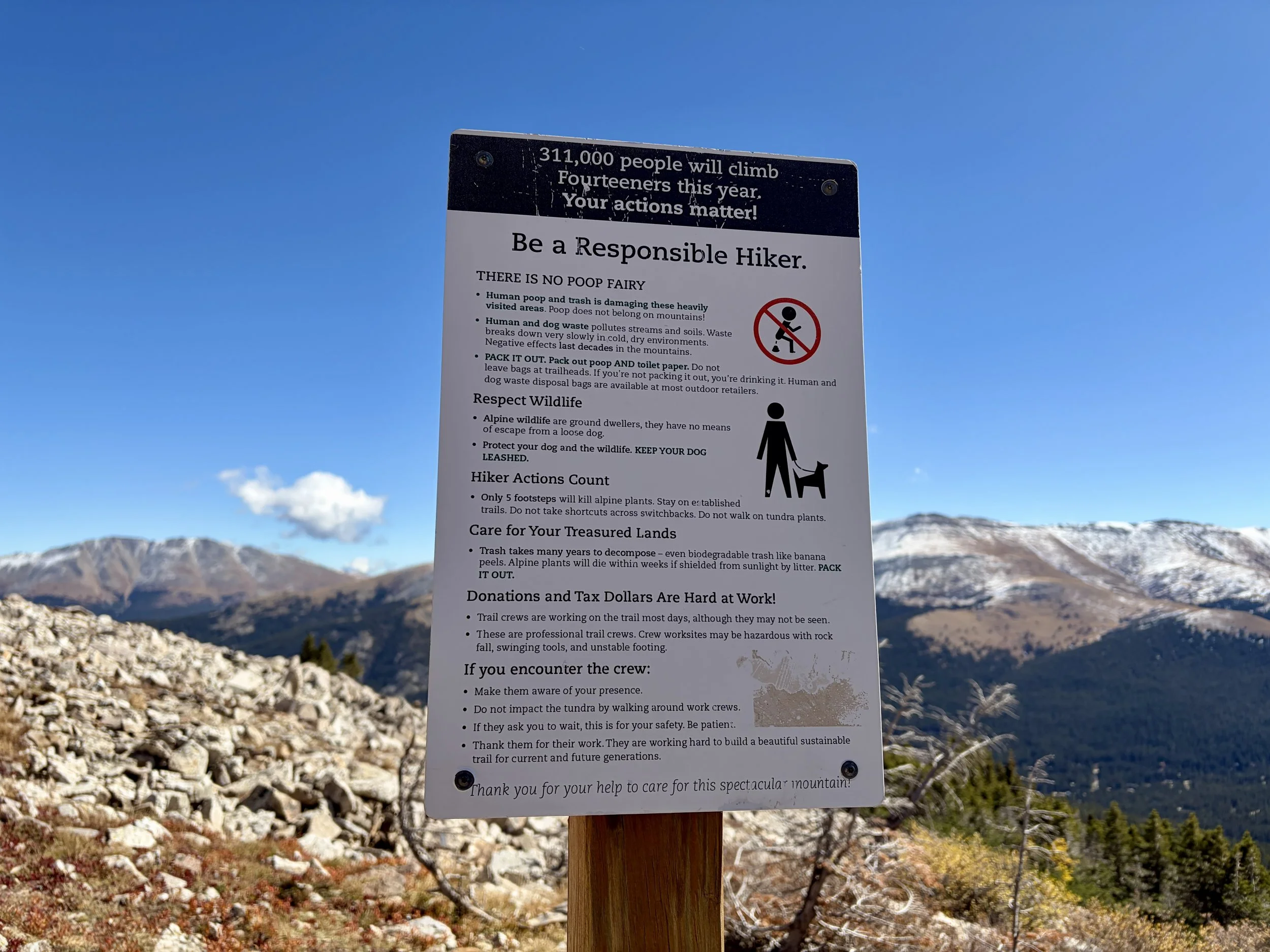
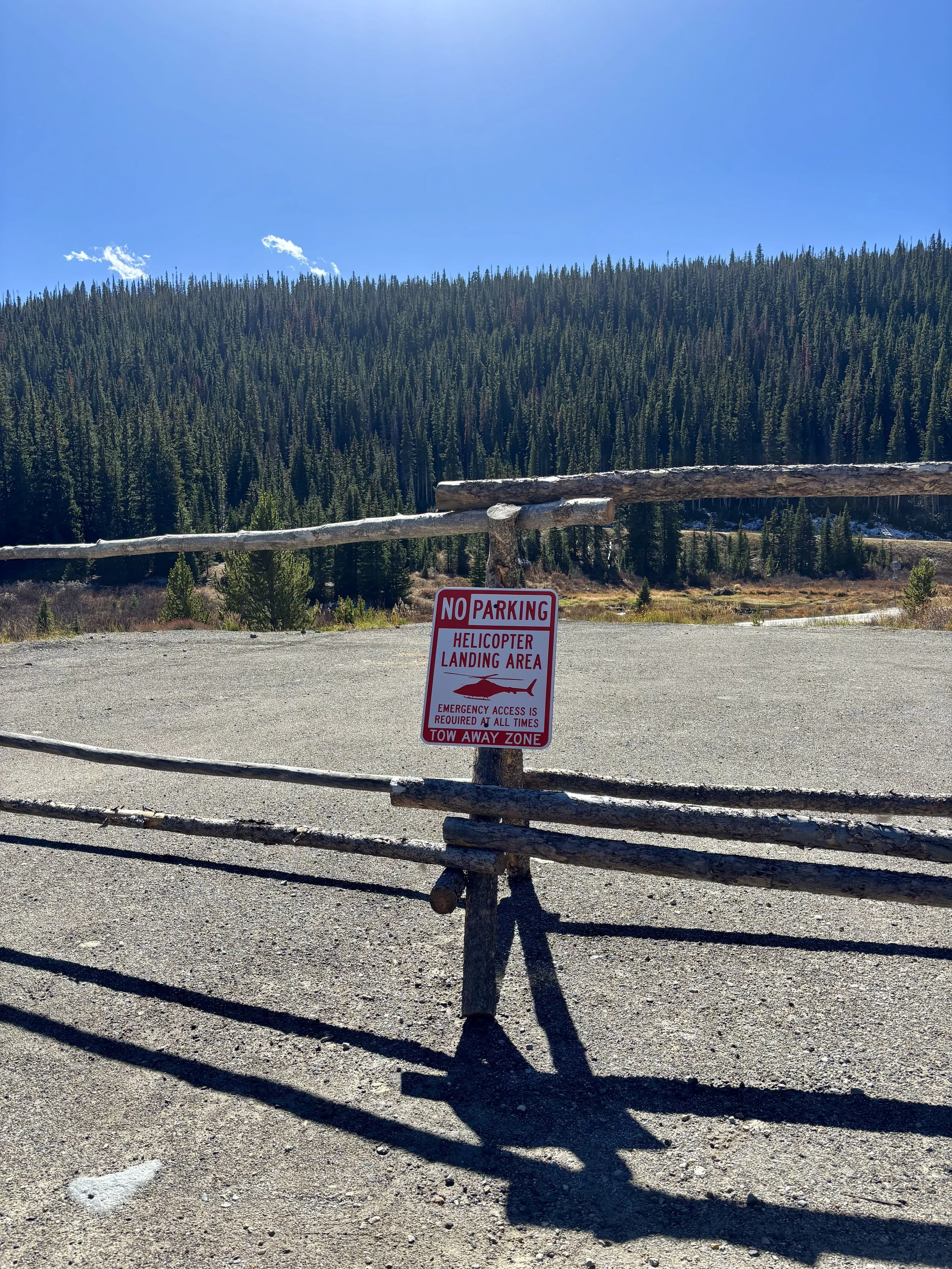
Quandary Peak is one of the busiest mountains one can hike in Colorado. It draws in locals and tourists alike as people want to say they hiked a “fourteener” (a mountain over 14,000 ft tall). By most standards, the actual hike itself is straightforward from a technical standpoint, but it tends to attract many hikers that come completely unprepared or completely unacclimated. For this reason, I typically completely avoid this peak in the summer when a reservation is required and actually had never hiked it until this outing. I have skied it many times in the winter, but I’ve never been on the mountain without skis. The amount of times Search and Rescue is called to this mountain is astonishing considering how well maintained the trail is. We hiked the mountain on a weekday in the fall when crowds were lower and still couldn’t believe the number of people we saw on the trail that had one or several of these characteristics: 1) no water 2) no extra layers 3) no food 4) wearing cotton pants or jeans 5) inappropriate footwear 6) starting after 12pm 7) asked us for directions.
If you are reading this blog and don’t understand why some of those characteristics are concerning, I’d strongly recommend hiking other peaks in the area and considering Quandary once you have more experience.
If you are determined to hike Quandary in the summer, please consider the packing list I recommend:
-at least 2 liters of water per person
-enough food to last you through the day in case something happens
-a puffy jacket AND a waterproof shell
-gloves and a warm beanie (even in the summer - Quandary is notoriously cold and windy)
-sturdy hiking shoes
-synthetic hiking pants and shirt (no cotton please!)
-a map you know how to read
-trekking poles
-sunscreen
-sunglasses
-first aid kit with knowledge of how to use the contents
-Garmin inReach
-headlamp (even if you should be done before sunset)
Additionally, please start the hike early in the morning. The rule of thumb is to be descending by noon, even if there is no chance of rain. The number of times I have seen it rain after noon on days where there is 0% chance of rain is very high in CO. Also, if you are visiting Breckenridge from somewhere lower in elevation, keep in mind that it can take 2 weeks to fully acclimate to the altitude. I wouldn’t recommend doing this hike shortly after arriving in town if traveling from somewhere lower in elevation.
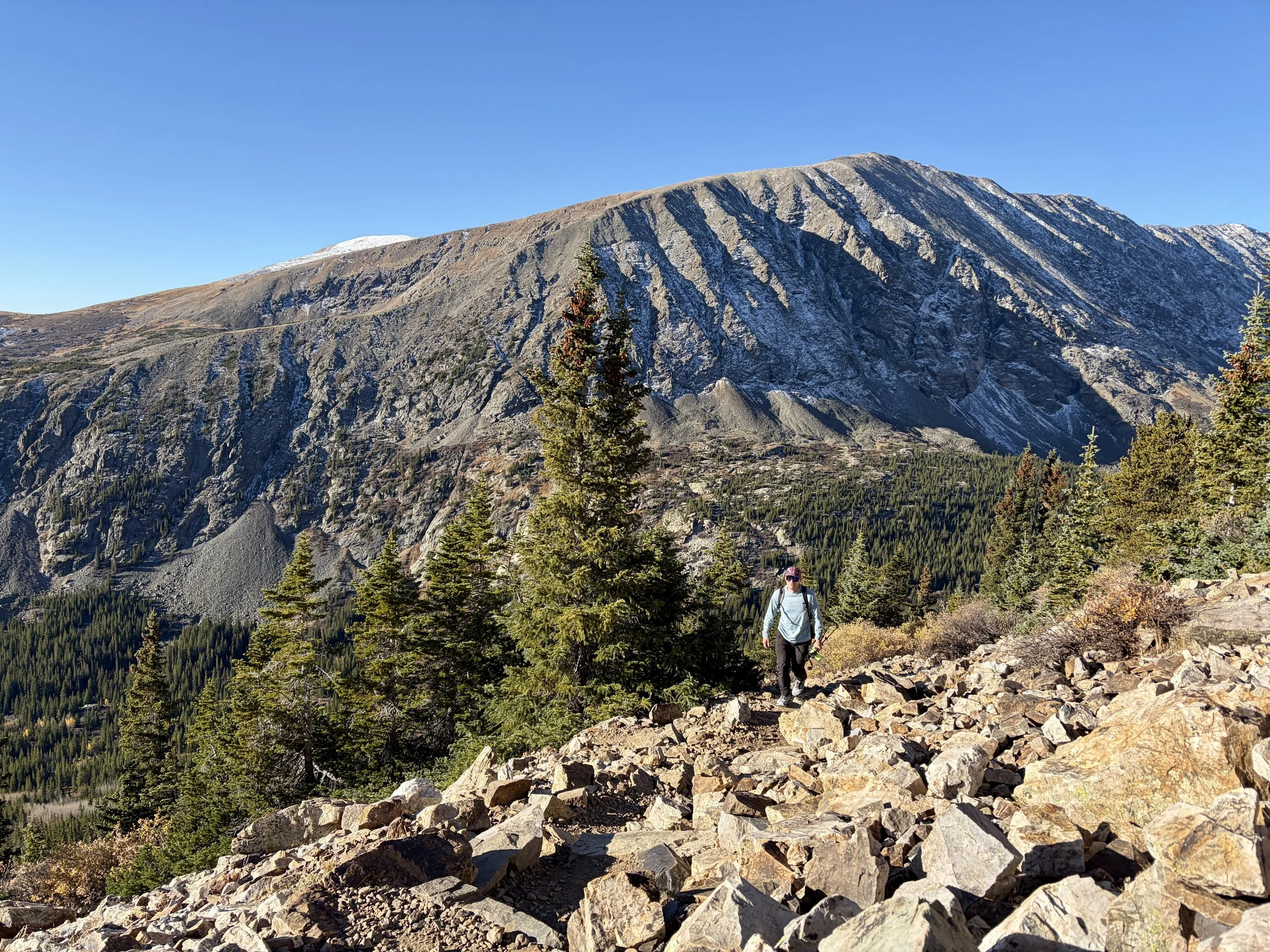
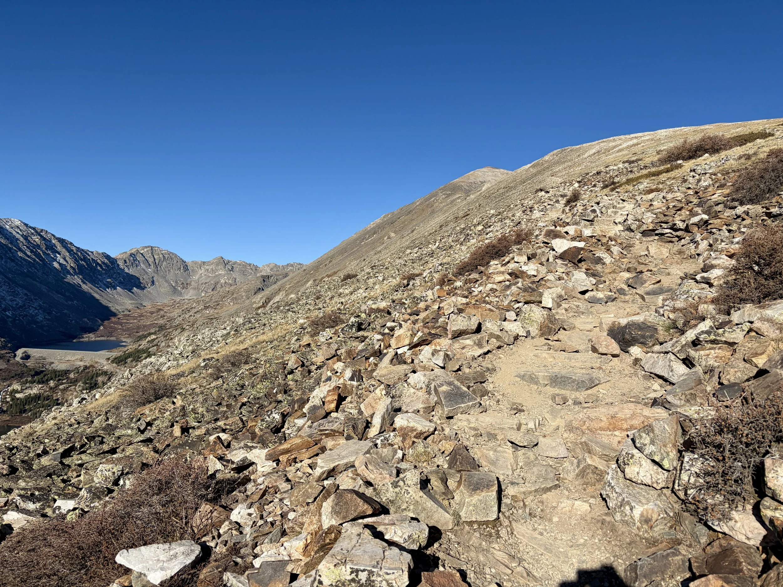
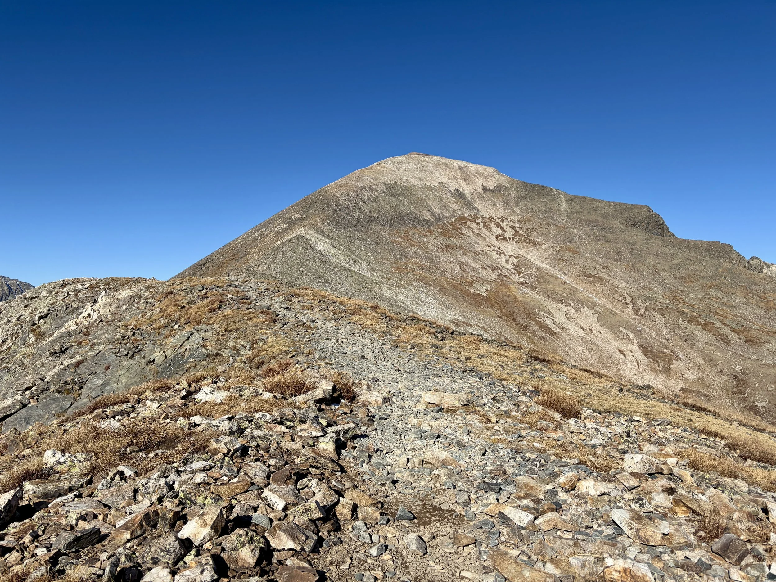
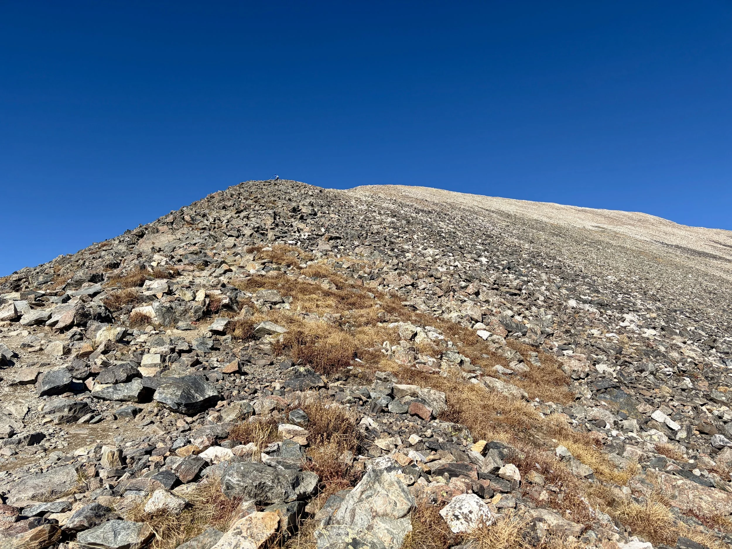
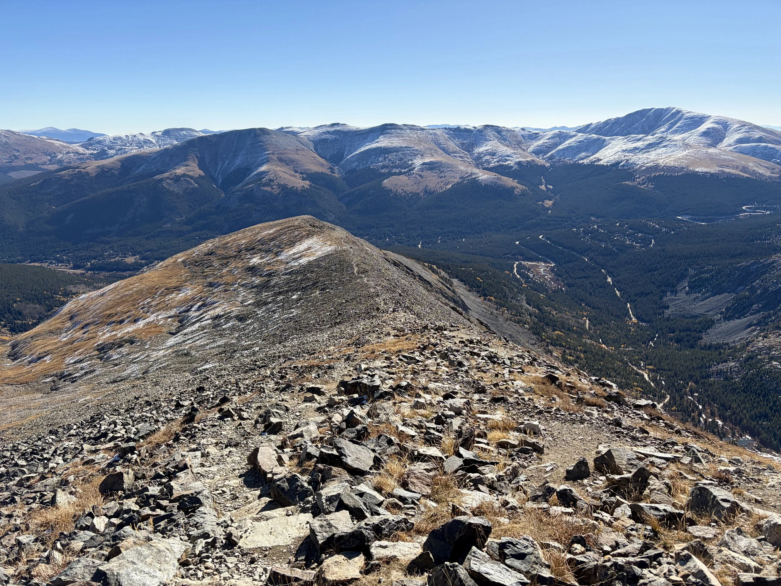
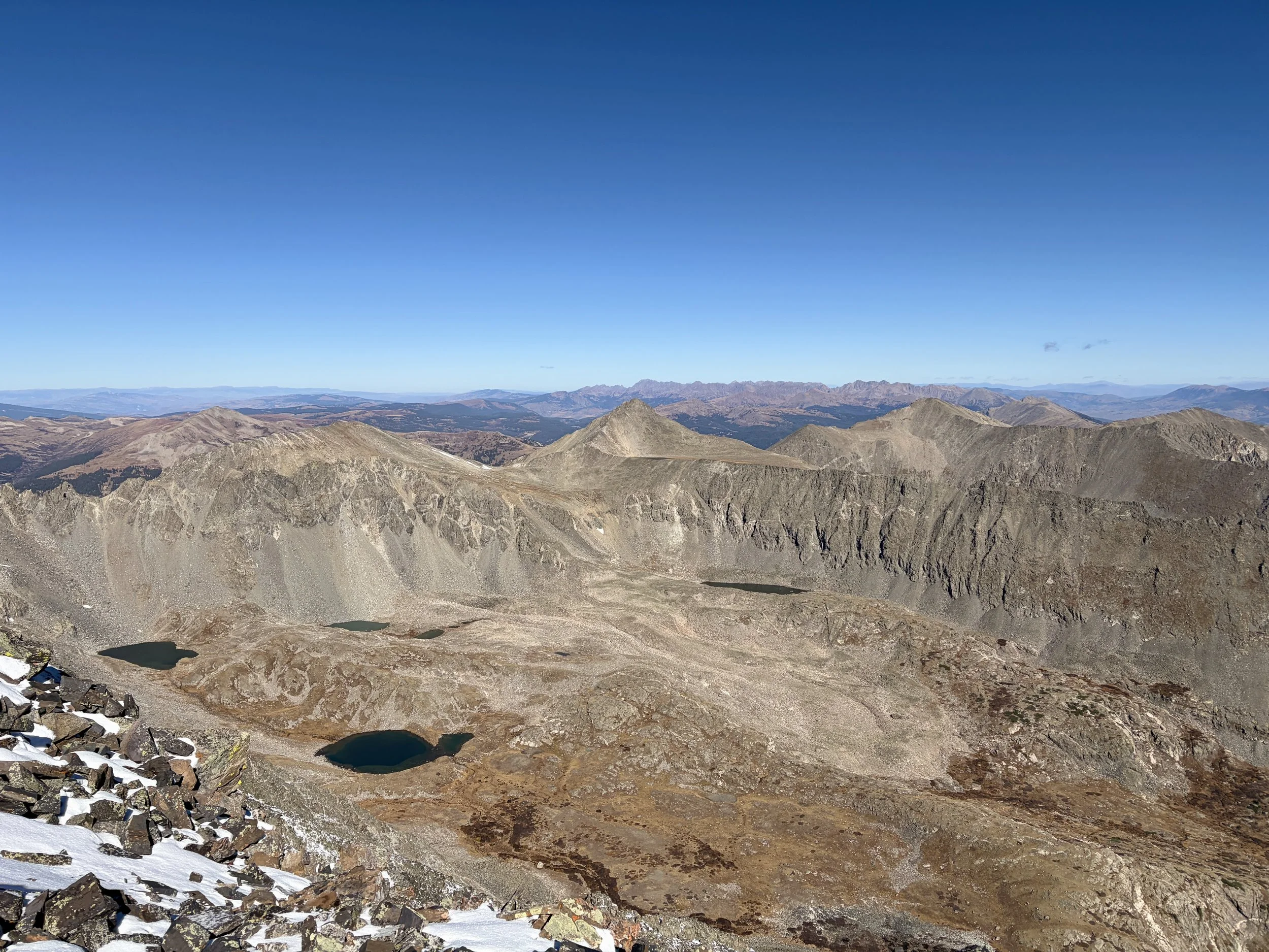
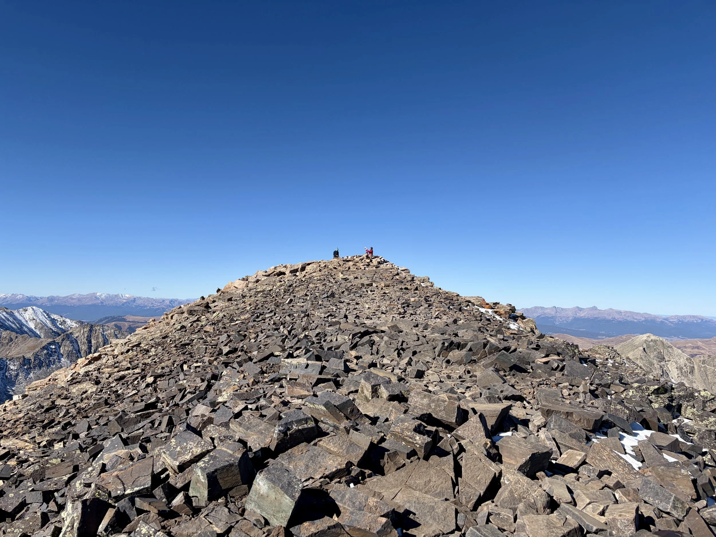
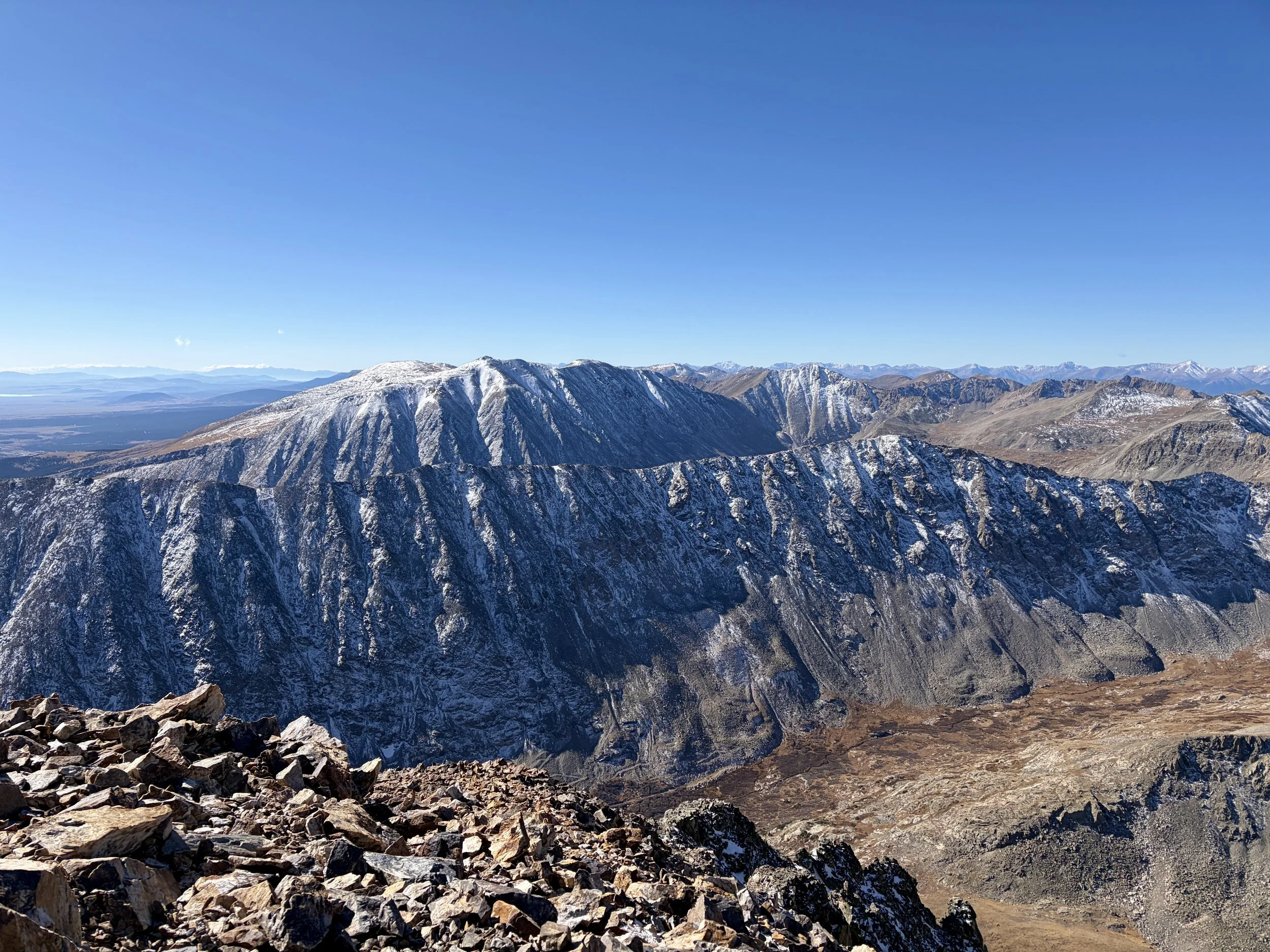
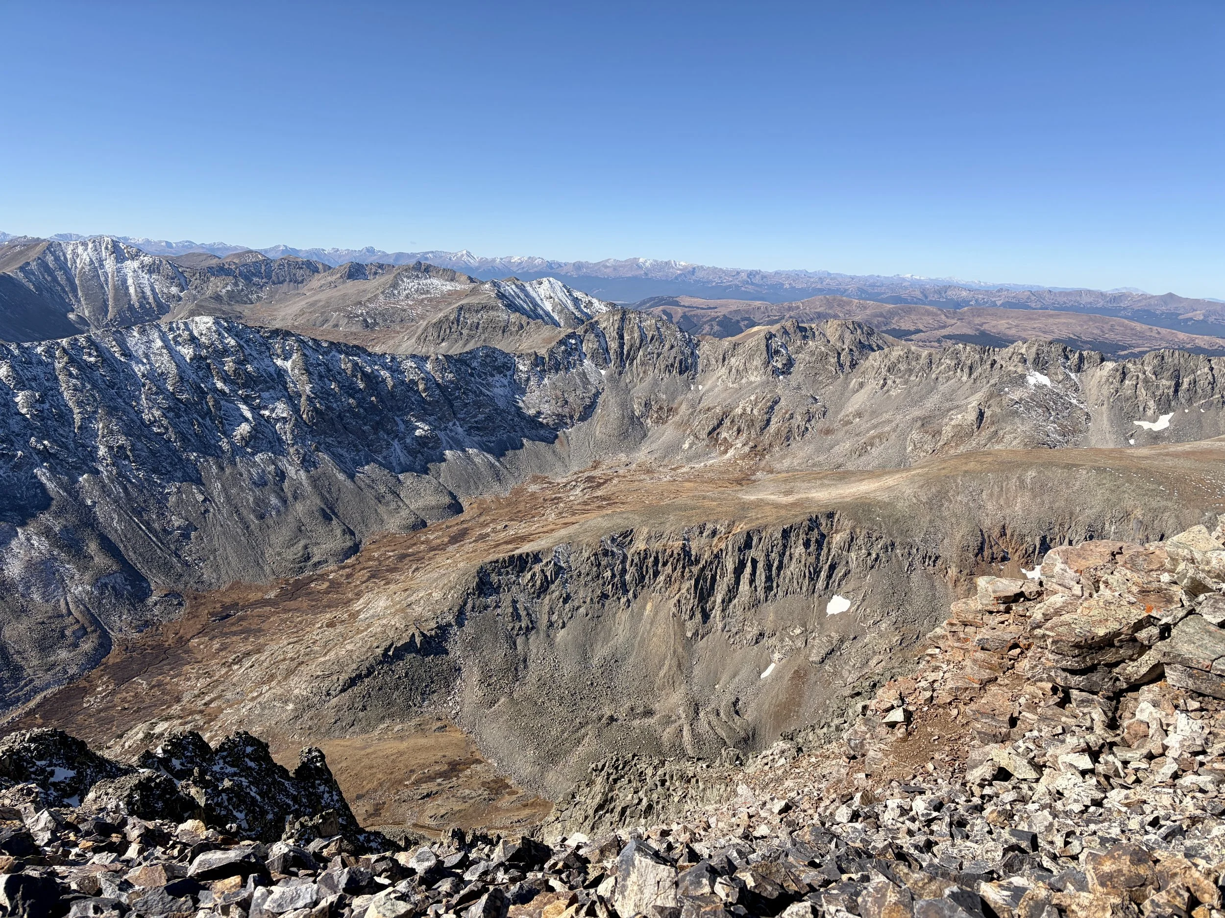
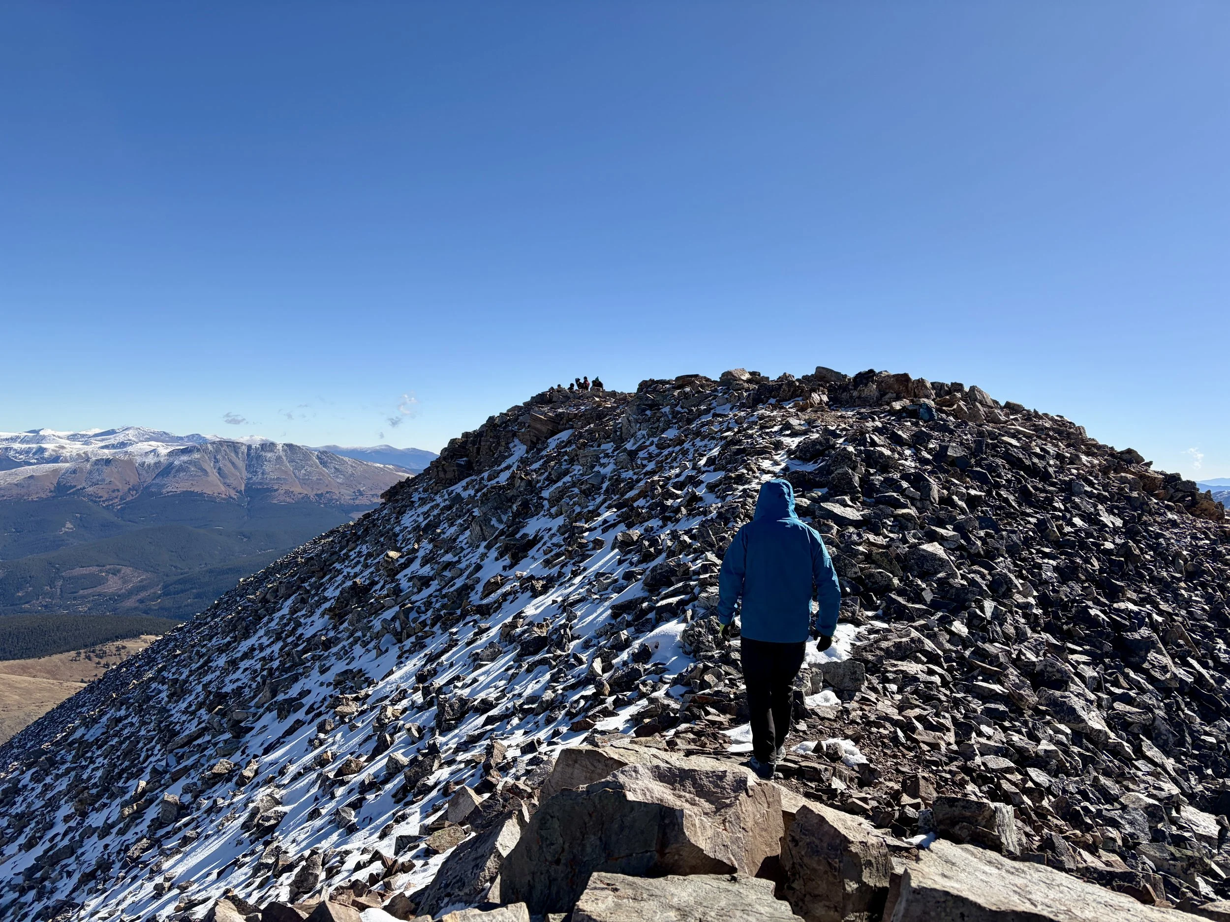
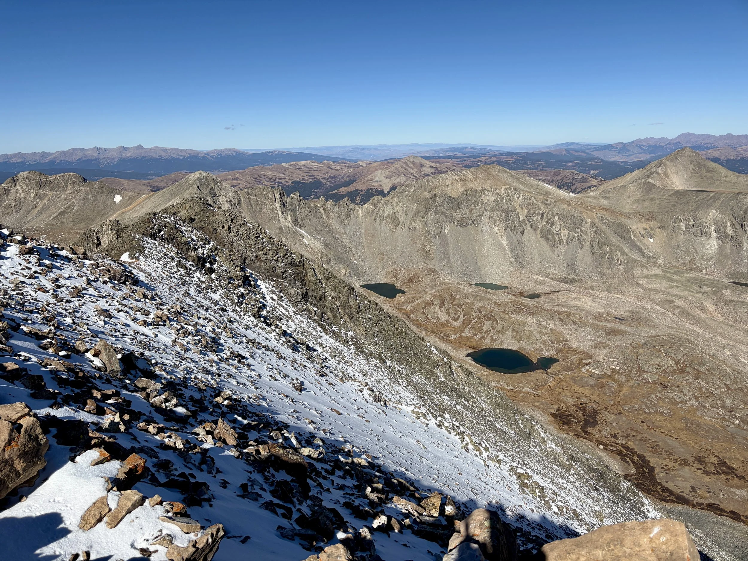
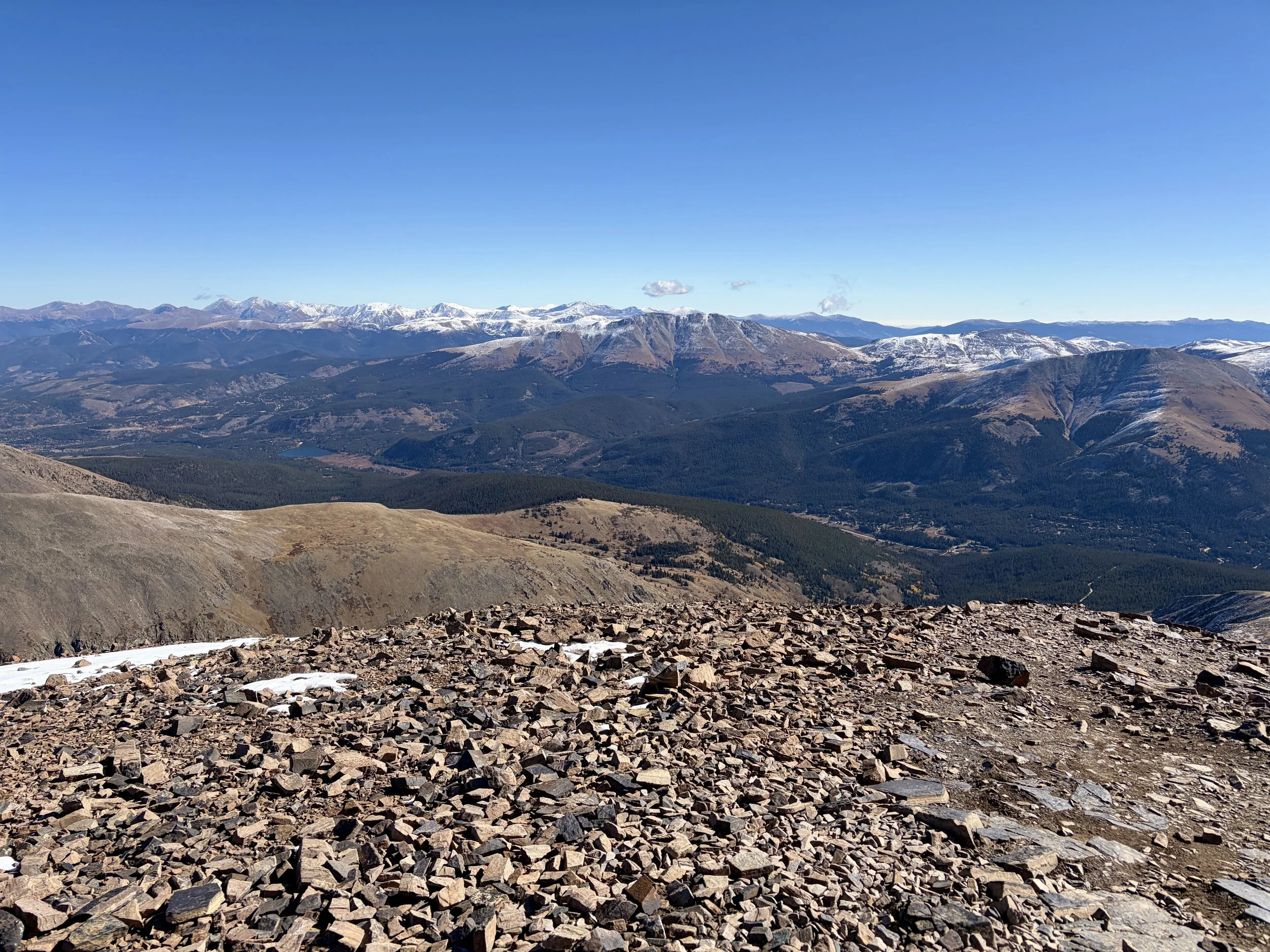
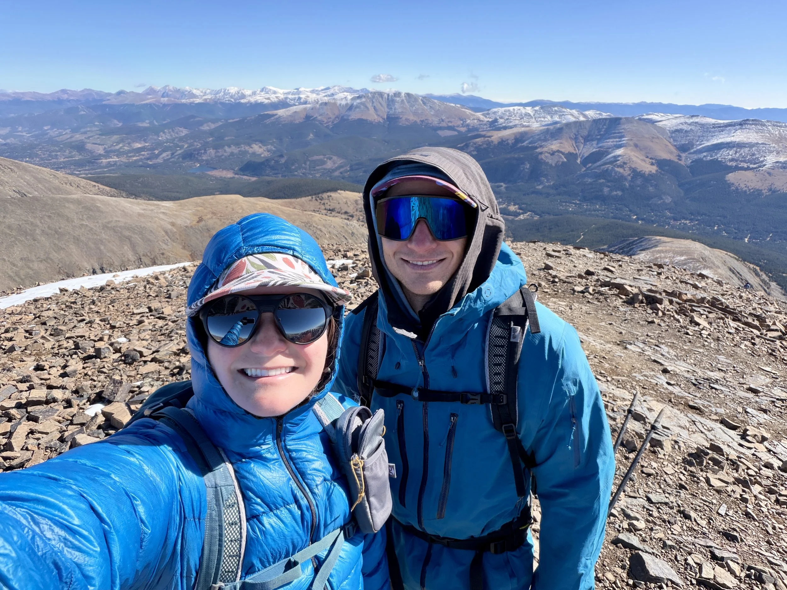
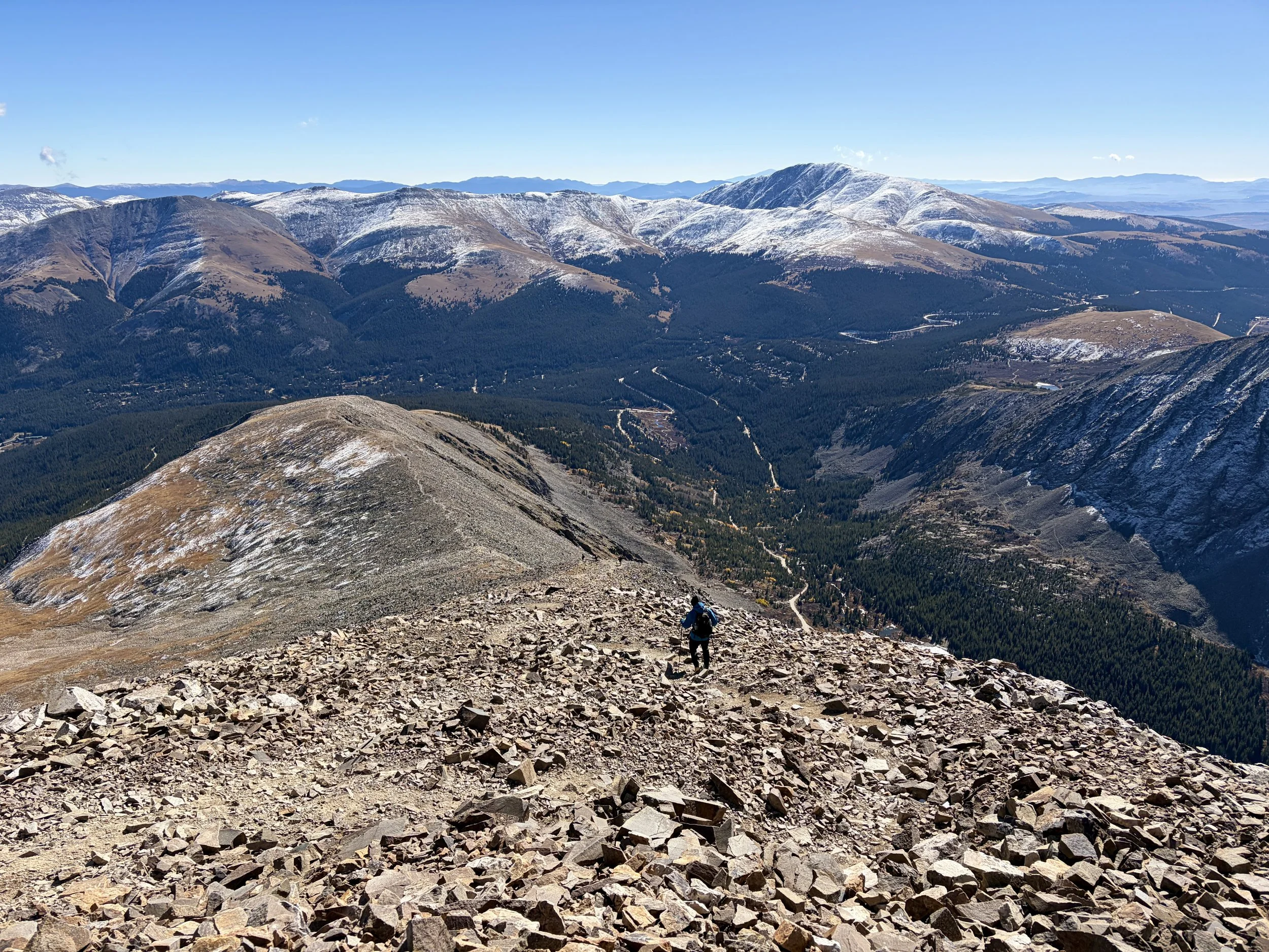
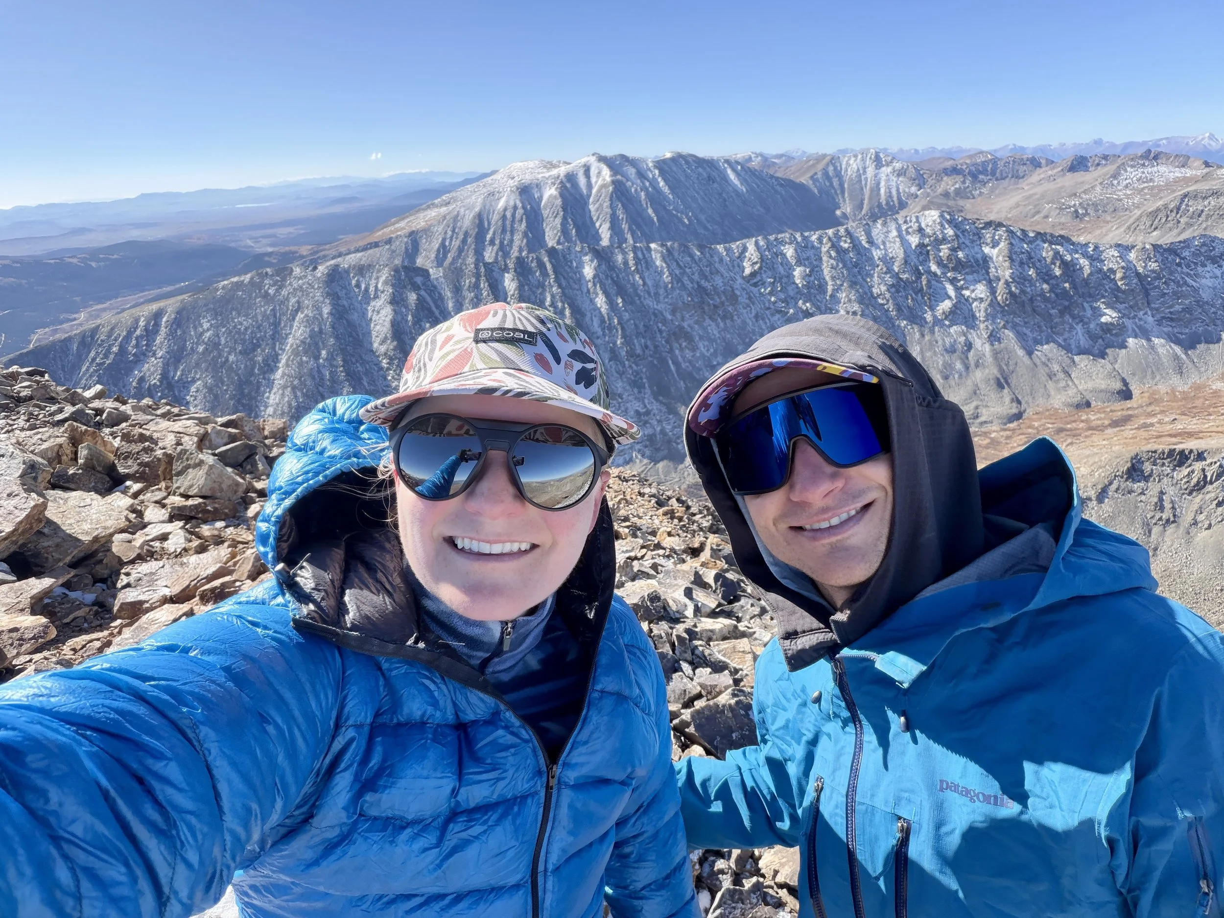
Now that I have mentioned the items I feel like I wanted to mention, let’s talk about the hike up the East Ridge. The trailhead itself is right off of the main road and is very difficult to miss. You can also take a bus to the trailhead. The trail heads up the dirt road towards McCullough Gulch (please don’t park along this road), and after ~10 minutes, the trail begins on the left side of the road. Once you find this trail, it is the only trail to follow to the top. No turns are required. It is very obvious where the trail goes, and it is one of the best maintained trails I have seen. Follow the trail up to tree line, where the impressive rock work begins. The trail continues through endless screen fields, but if you stay on the trail, you will ultimately find yourself at the top. This mountain tends to be very windy at the top so be prepared for that. It might be nicer to take a snack break after you’ve began your descent. The best way to get back to your car is the same way you came.
Total stats: 7 miles, 3400 ft of elevation gain.