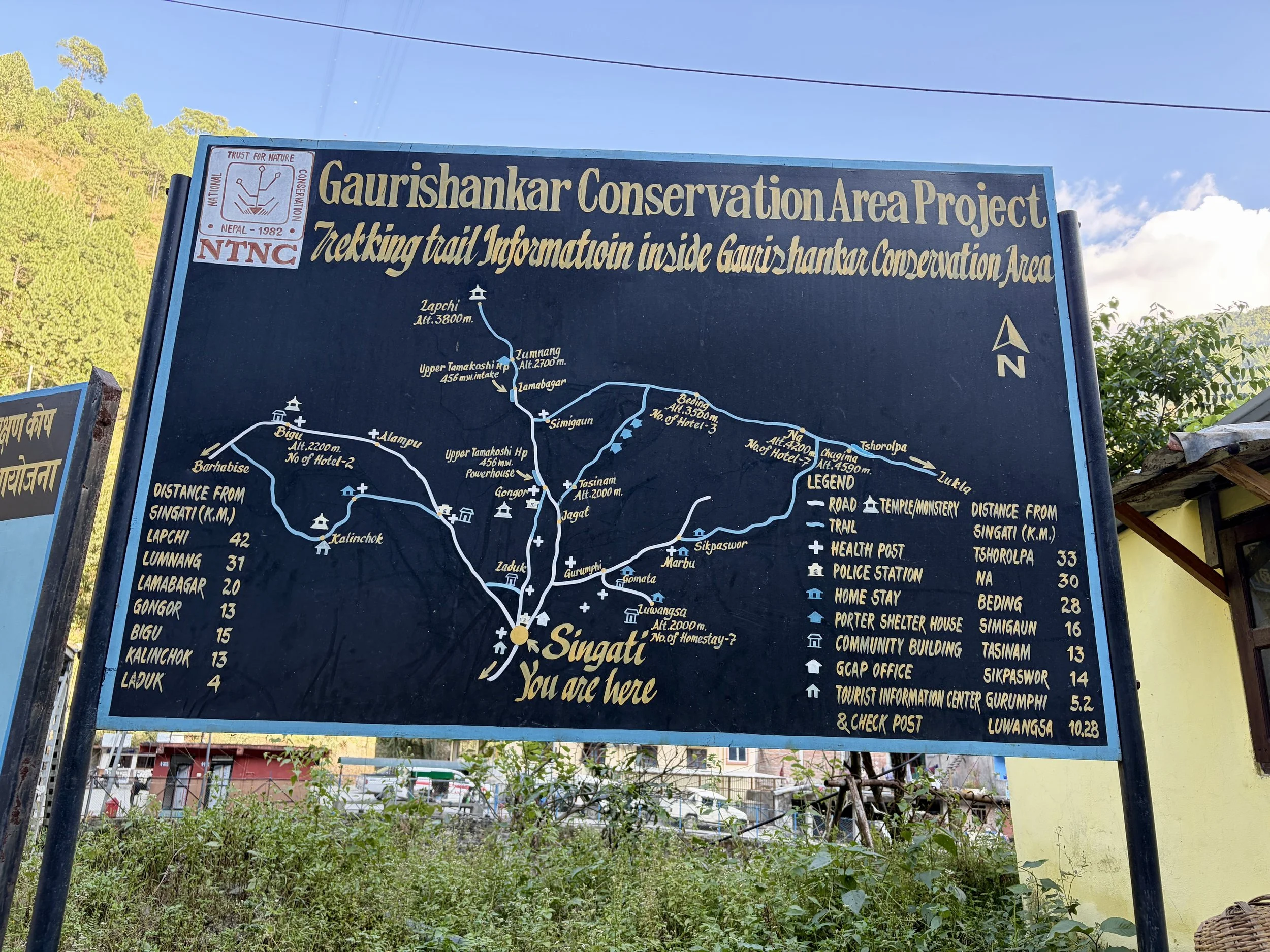
Trekking in Nepal: Rolwaling Valley, Yalung Ri, & Tsho Rolpa Lake; Gaurishankar Conservation Area, Nepal

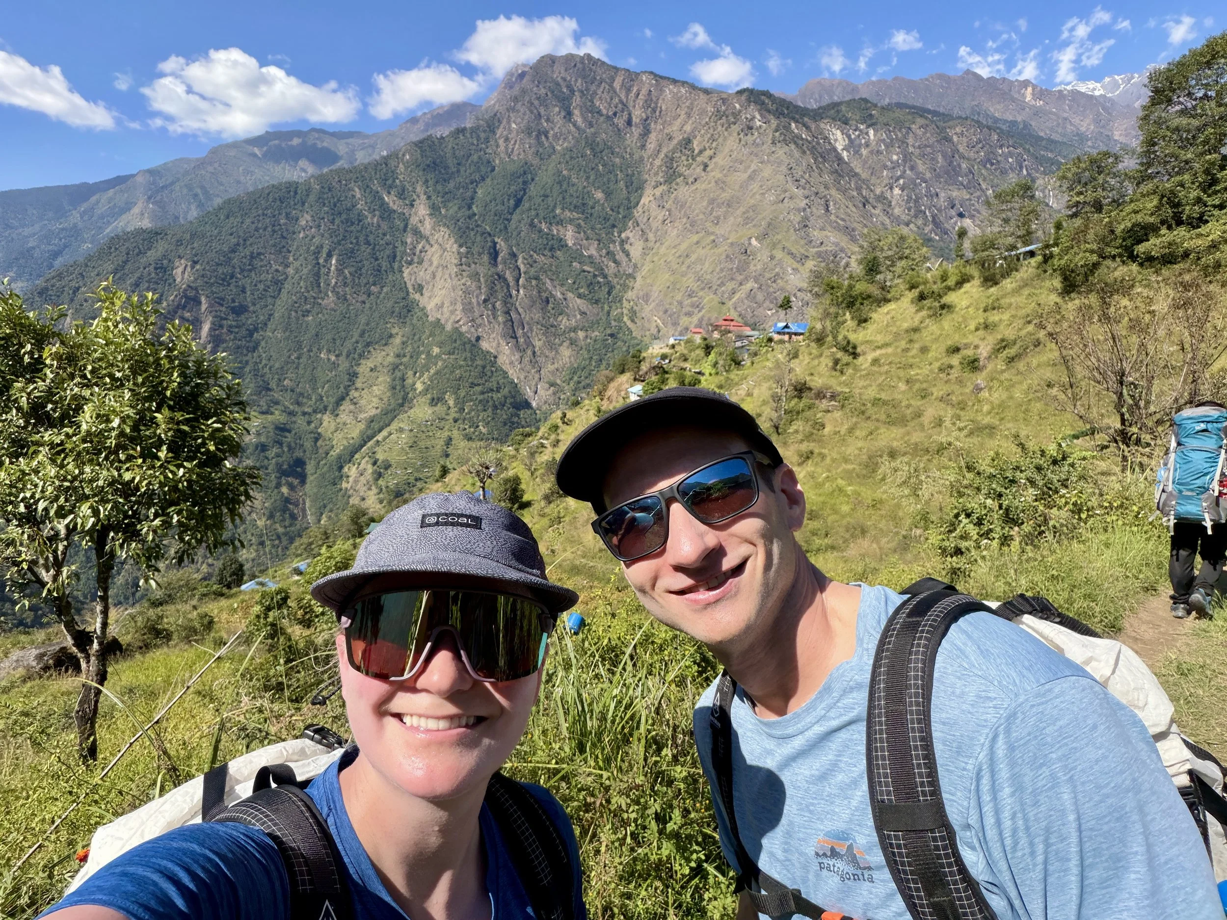
Nepal! A bucket list trip was finally going to happen. After countless hours of research, Mike and I had decided to book a trek where we would hike the from Jagat to Lukla by hiking up the Rolwaling Valley, go over Tashi Lapcha Pass, and finish our trek in the Khumbu region, while summiting Yalung Ri and Pachermo peaks along the way. With literally thousands of trekking companies to choose from, it was hard to figure out which one to use, but after sending out inquiries to tens of companies, we decided to book through Nepal Mountain Trekkers. We found the owner of the company, Ramesh, to be very responsive and had high quality, thoughtful responses to all of our questions (and there were A LOT).
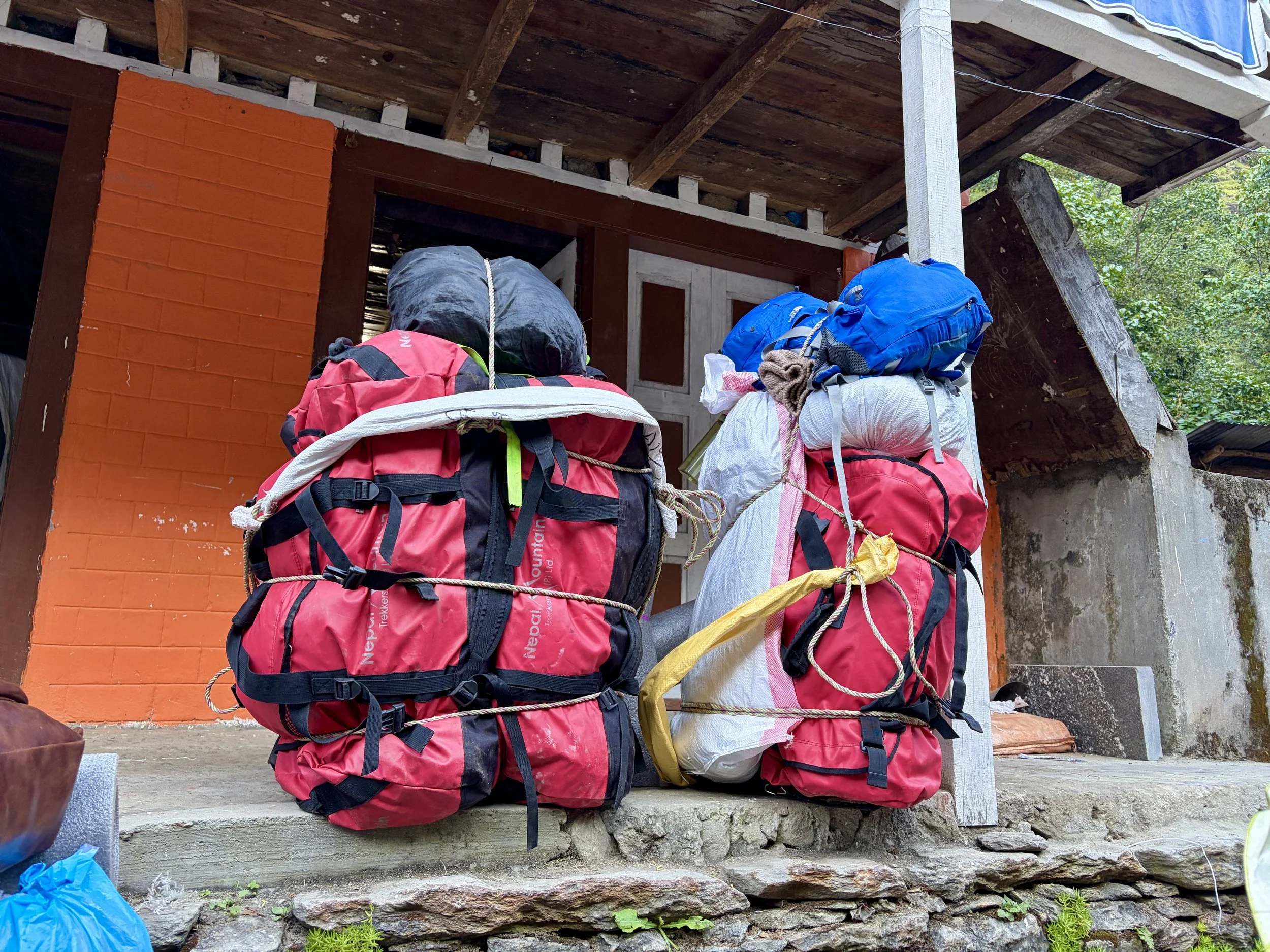
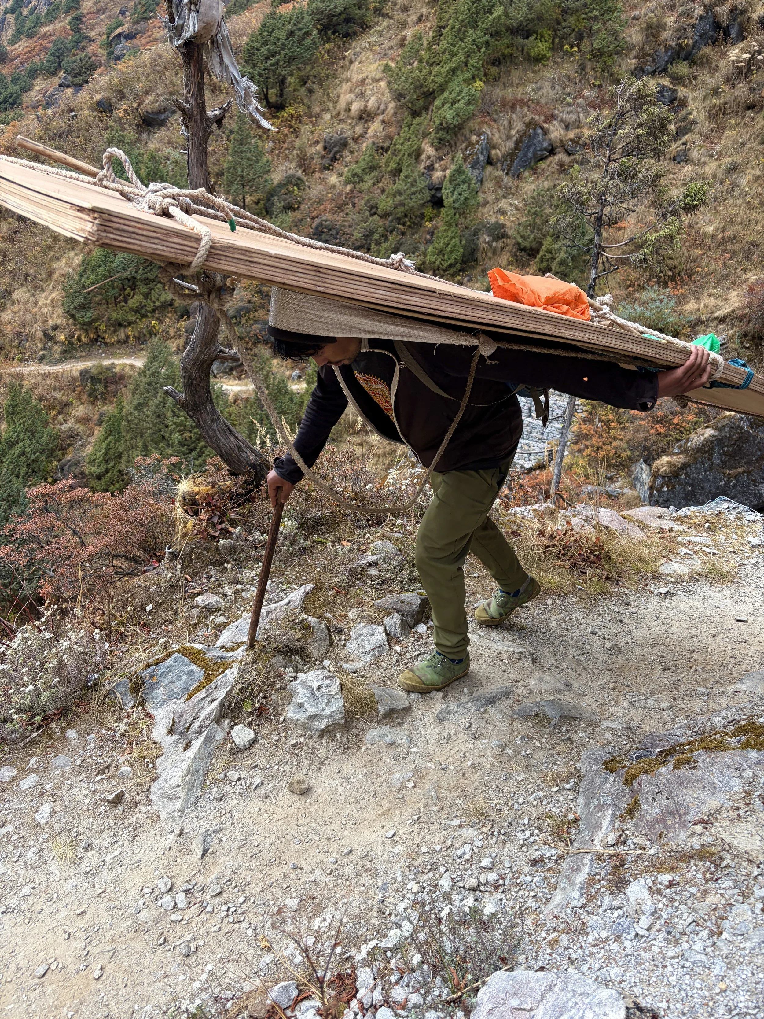
A lot of people asked us why we picked the trek we did as most people had never heard of it. That in itself is one of the main reasons we picked it! It was off the beaten path and wouldn’t be overrun by tourists. We were looking to have an experience that felt more authentic and less like a tourist conga line. Additionally, I also wanted to summit a peak or two if possible. Many of the popular treks never really leave the valleys and the high point will be a pass but not a peak. I was looking to use some of our mountaineering skills and also test ourselves a bit more at higher altitudes. Pachermo Peak met many of the criteria we were looking for and rises to over 6,000 meters (20,600 ft). It also would allow us to do a point to point hike and allow us to see more of the country than an out and back hike would. Adding this peak and Yalung Ri would make the trek a mix of staying at tea houses and camping. Once we passed the village of Na, we would camp until we reached Thame in Sagarmatha National Park. This aspect of the trip would mean we’d need more gear for camping, which meant more porters, a cook, and ultimately more money. One thing we didn’t consider before booking the trip is that it also meant our pace would be at the pace appropriate for our porters, who would be carrying a lot of gear. This didn’t end up being a bad thing as it was nice to slow down a bit and take in the local culture, but it was something we hadn’t considered before the trip.
The trek was going to take us 17 days from the moment we left Kathmandu to when we got back to Kathmandu. We would get from Kathmandu to the beginning of the trek in Jagat by a private mini bus and at the end of the trek we would get back to Kathmandu by flying there from Lukla on our last day. This meant we’d have 15 days of trekking, including one planned rest day in Na. Our low point of the trip from an elevation standpoint was our first night, which we spent at 4500 ft and our high point was expected to be Pachermo at 20,600 ft.

Day 1: Drive from Kathmandu to Chetchet
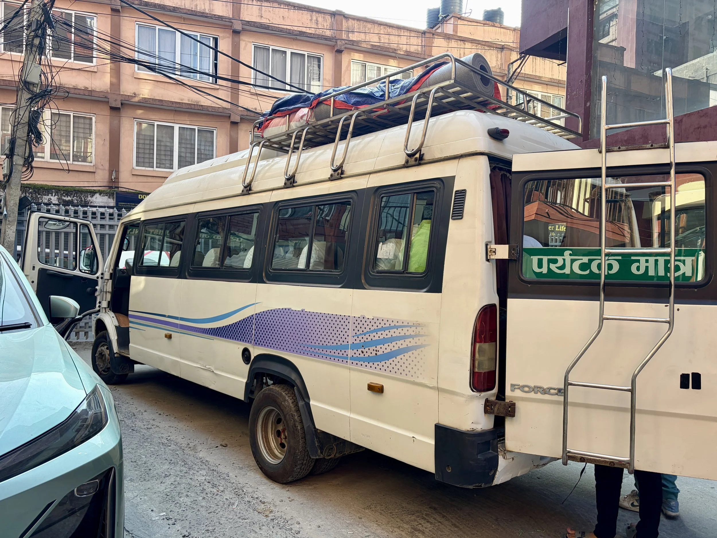
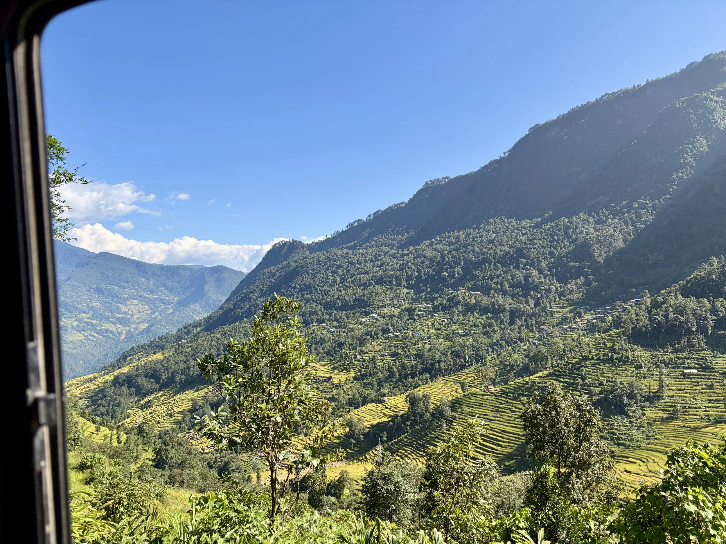
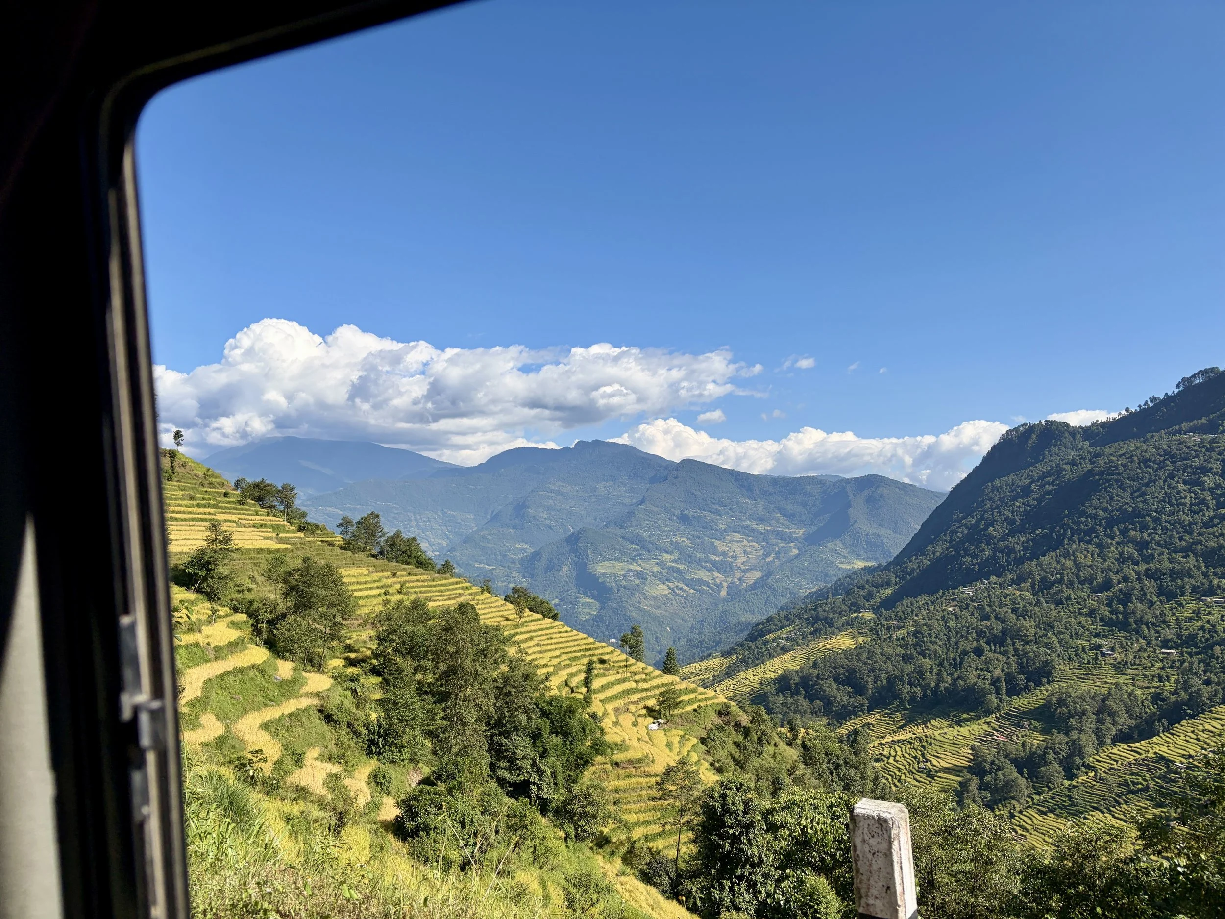
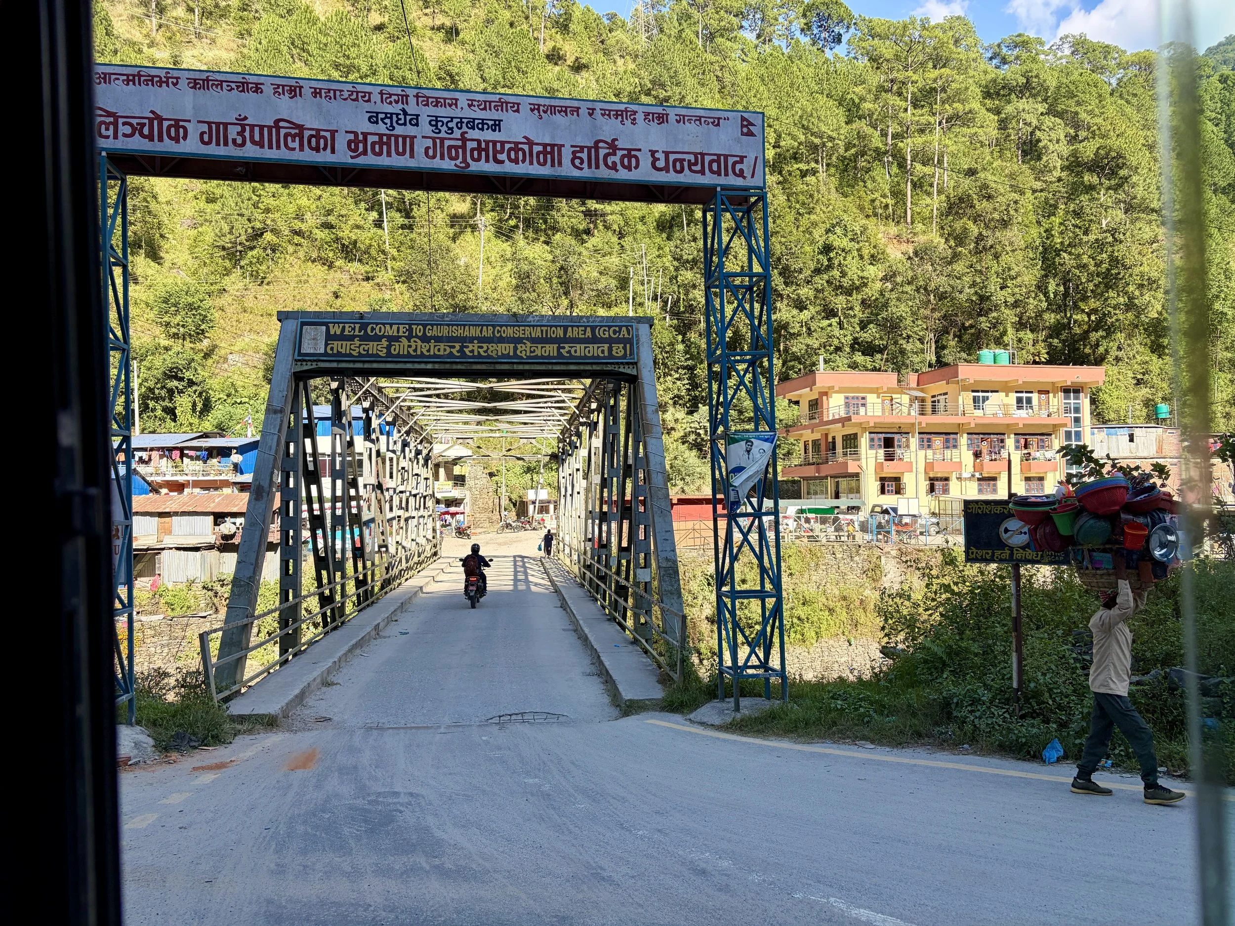
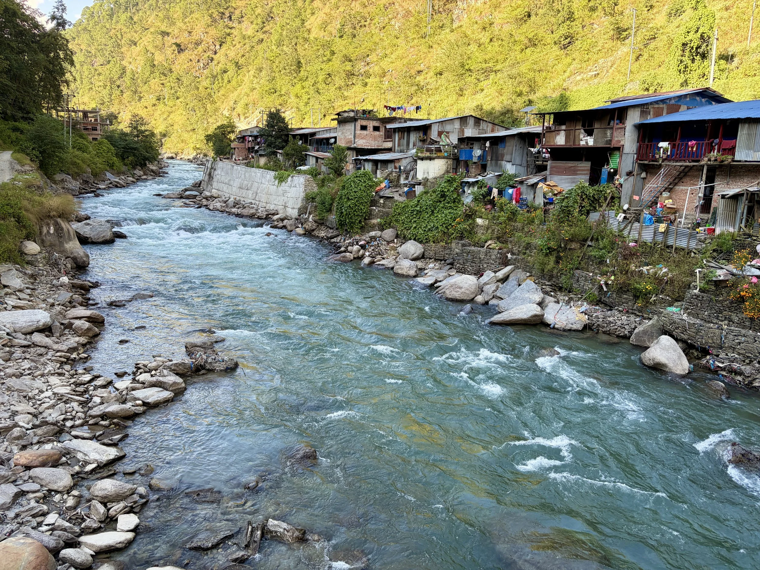
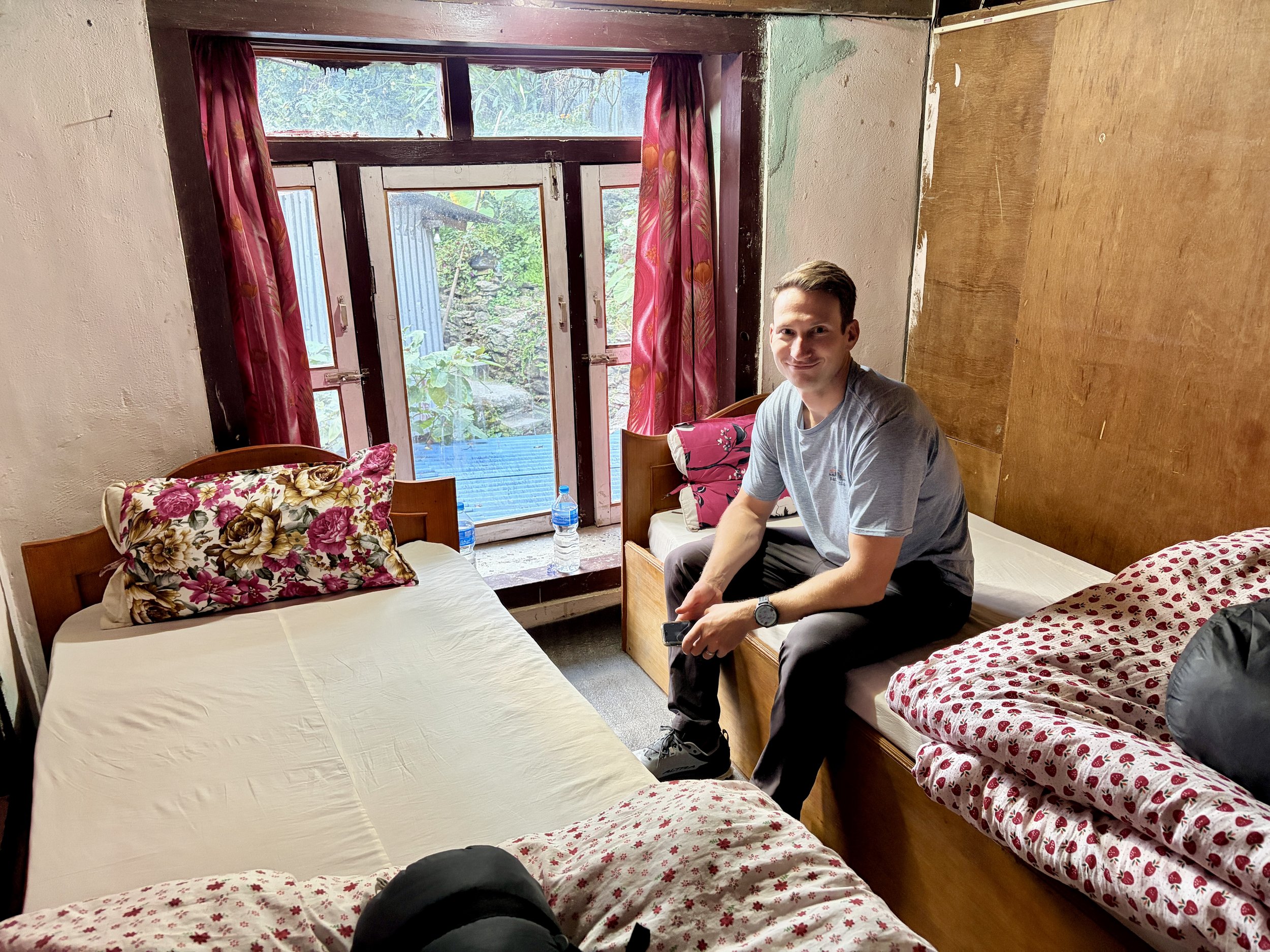
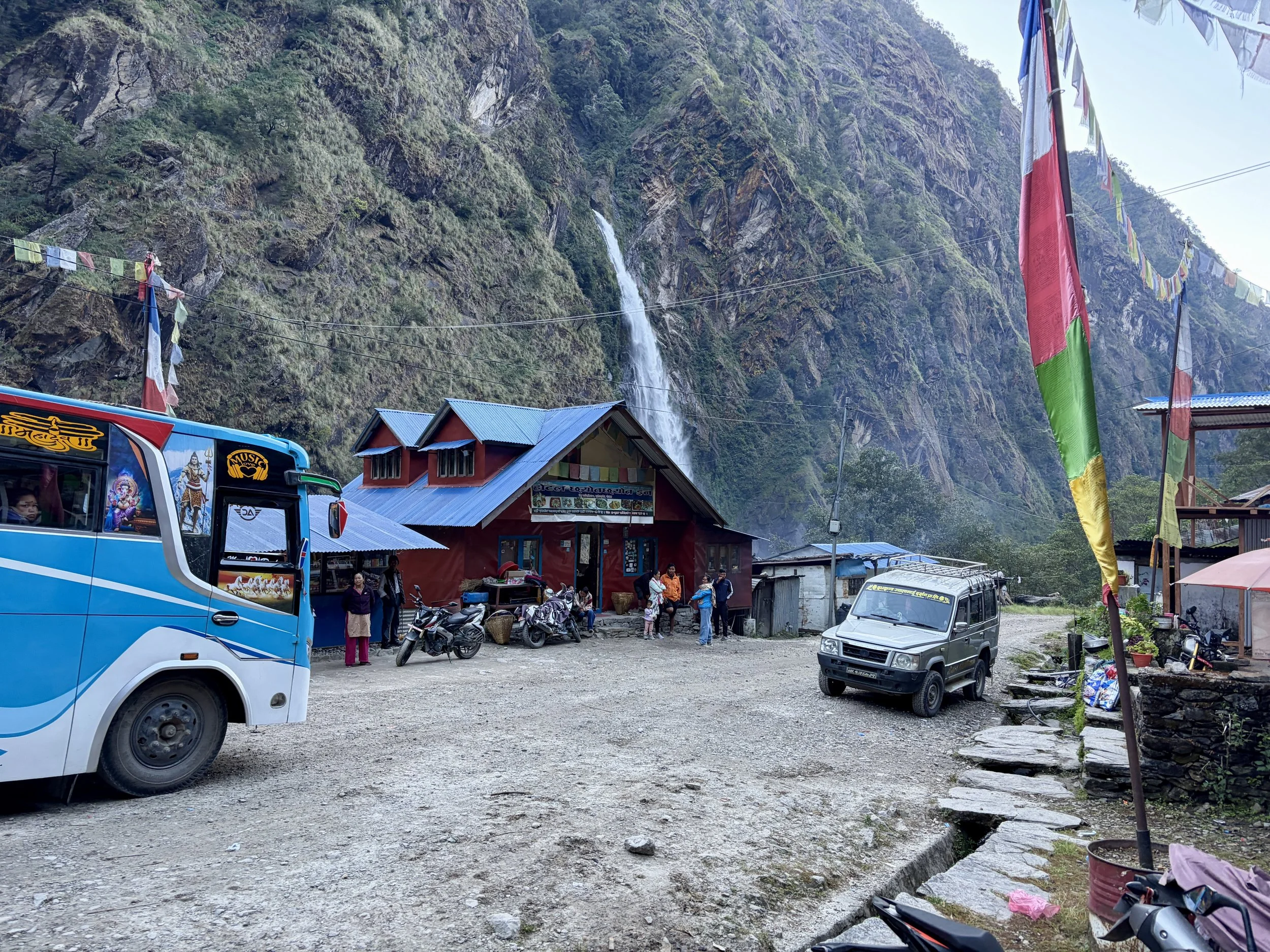
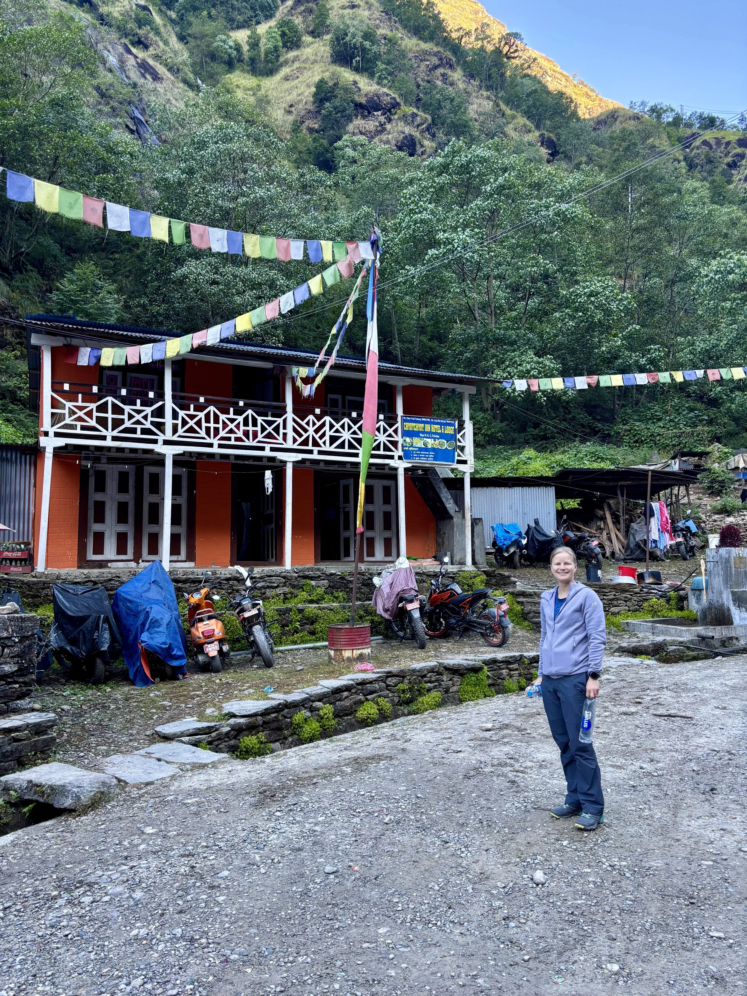
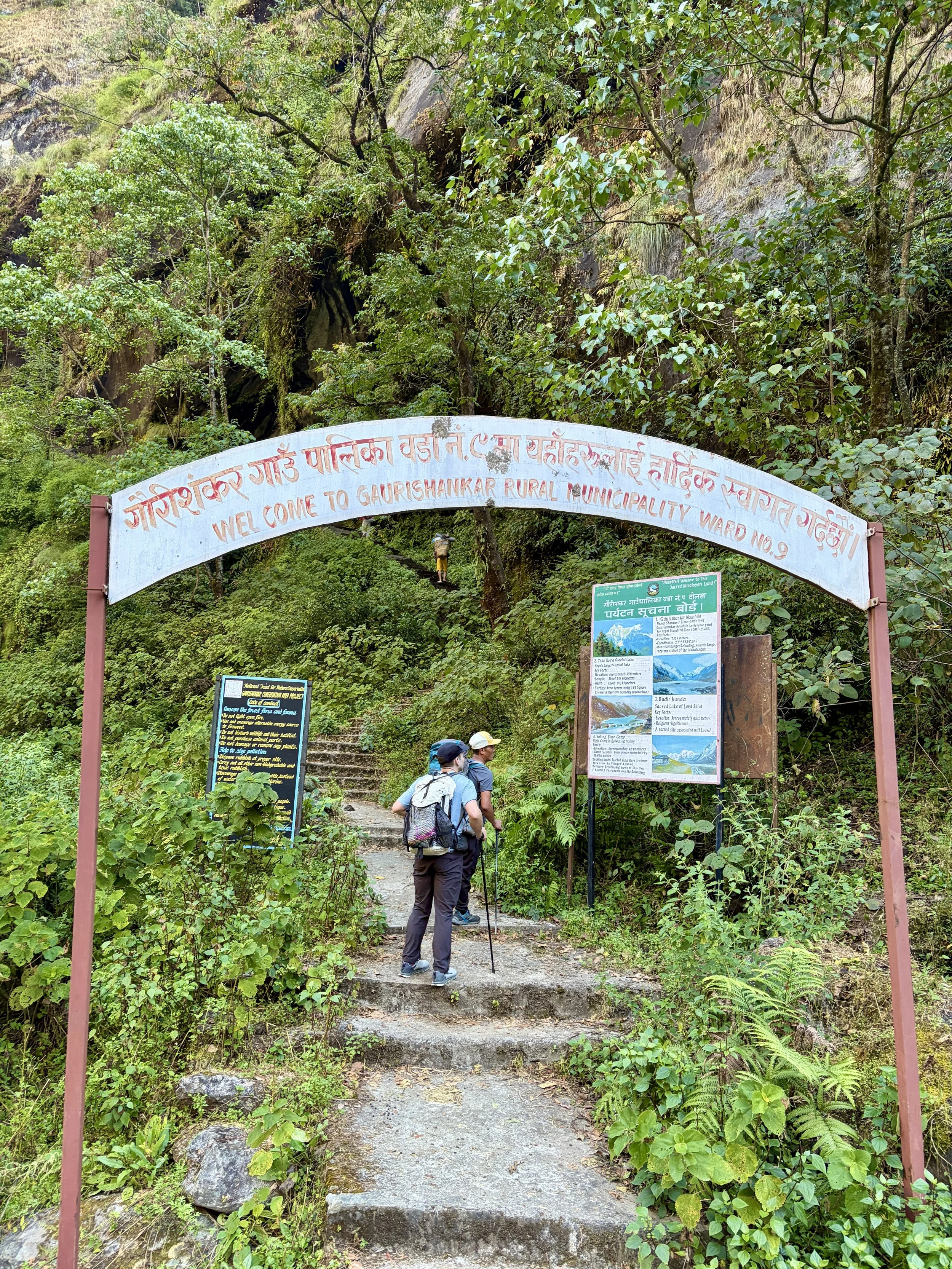
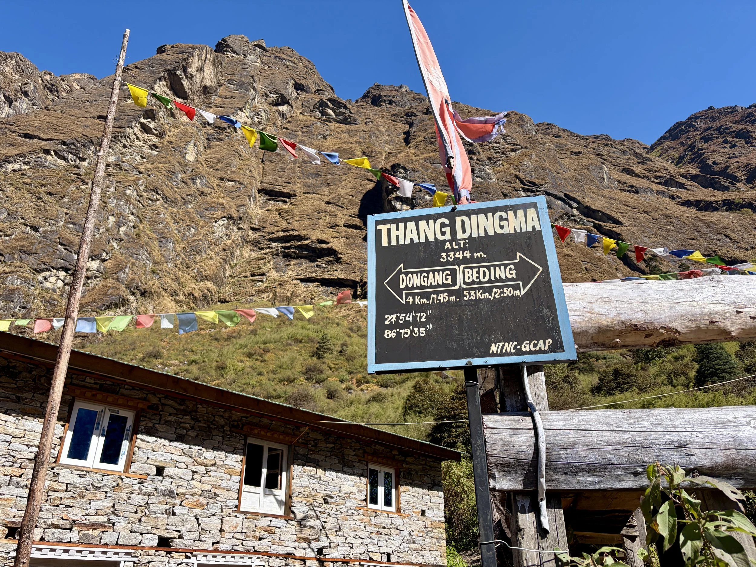
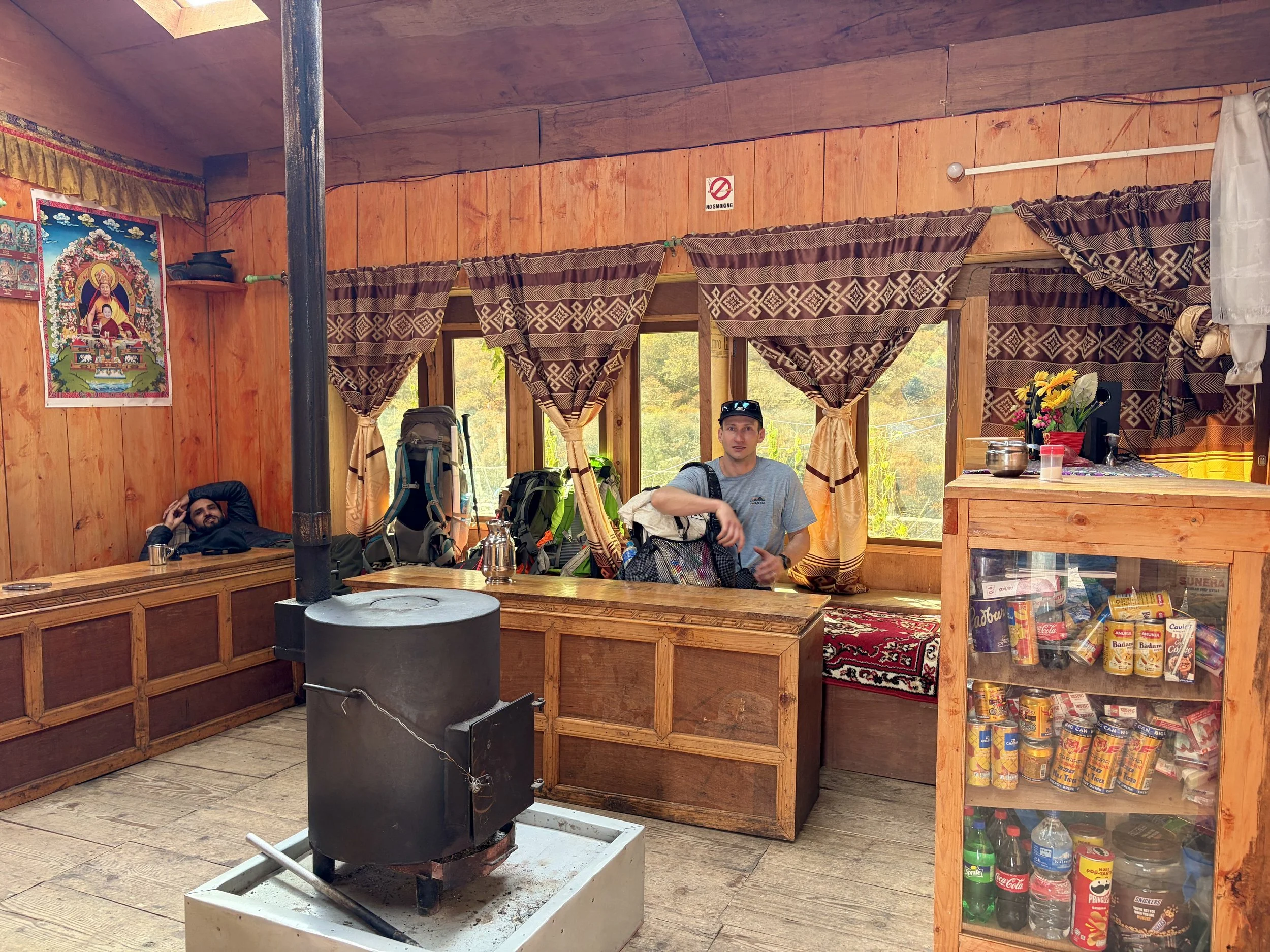
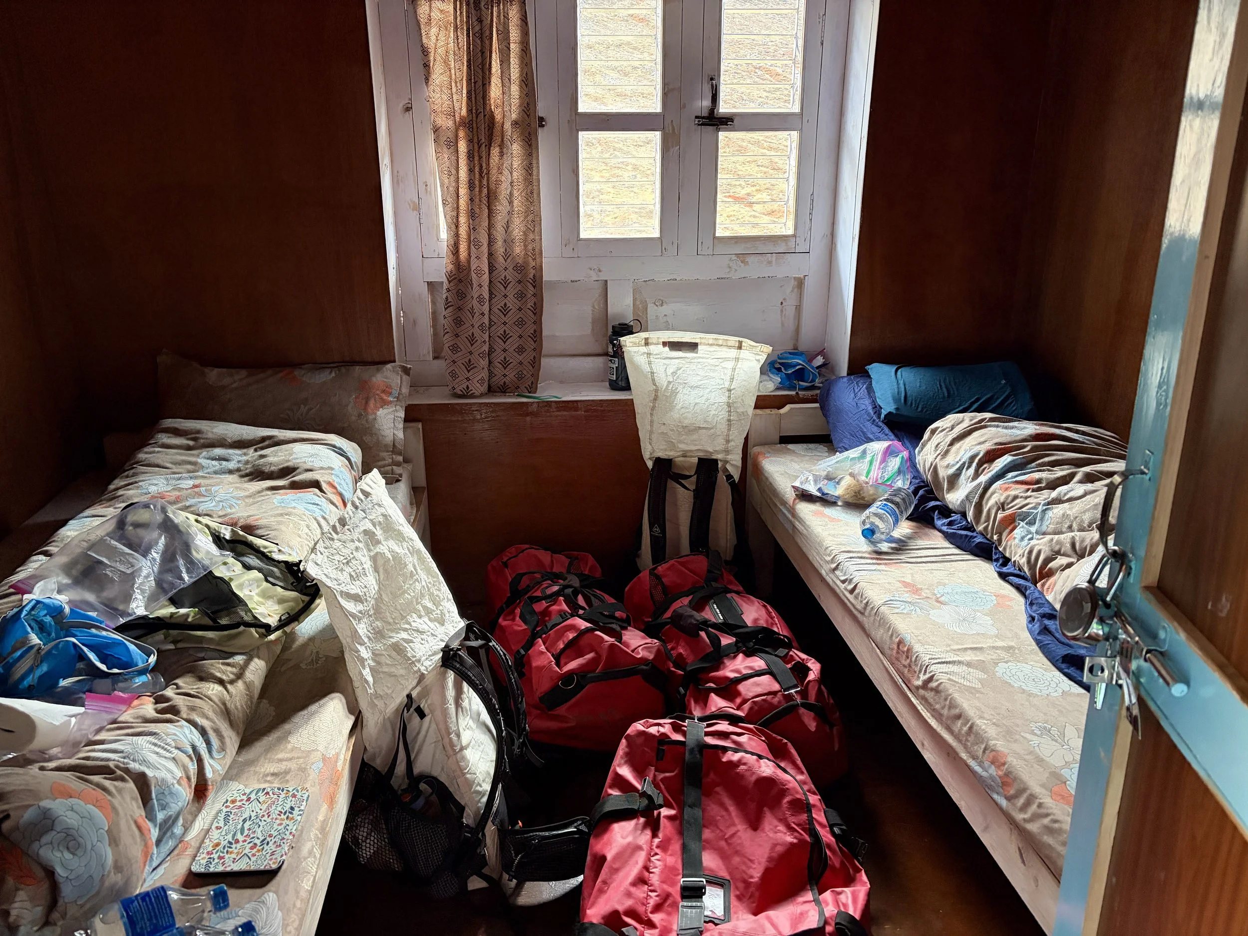
On the first day of our trip, we took a private mini bus with our guide and porters from Kathmandu to Chetchet in the Rolwaling Valley. The drive took about 8.5 hours including two stops, one for tea and one for lunch. The roads were windy for the entire trip and were a mixture of paved roads and dirt roads. When we arrived at the entrance to the Gaurishankar Conservation Area, we stopped to pay for our permit. After that, the road got bumpier, and we followed the Tamba Kosi River upstream for a number of miles. We slept in the small village where the trail we would take the next day would start from. We had dinner at the local tea house and settled in for an early night.


Day 2: Chetchet to Simigaun
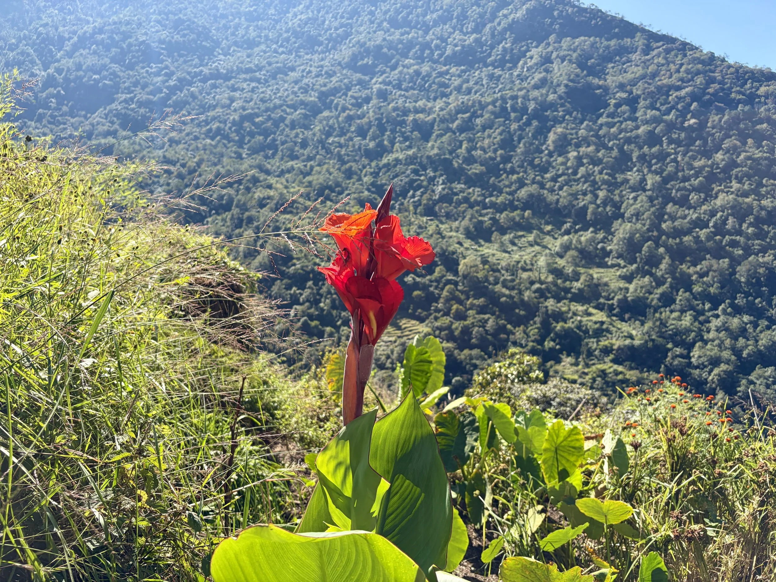
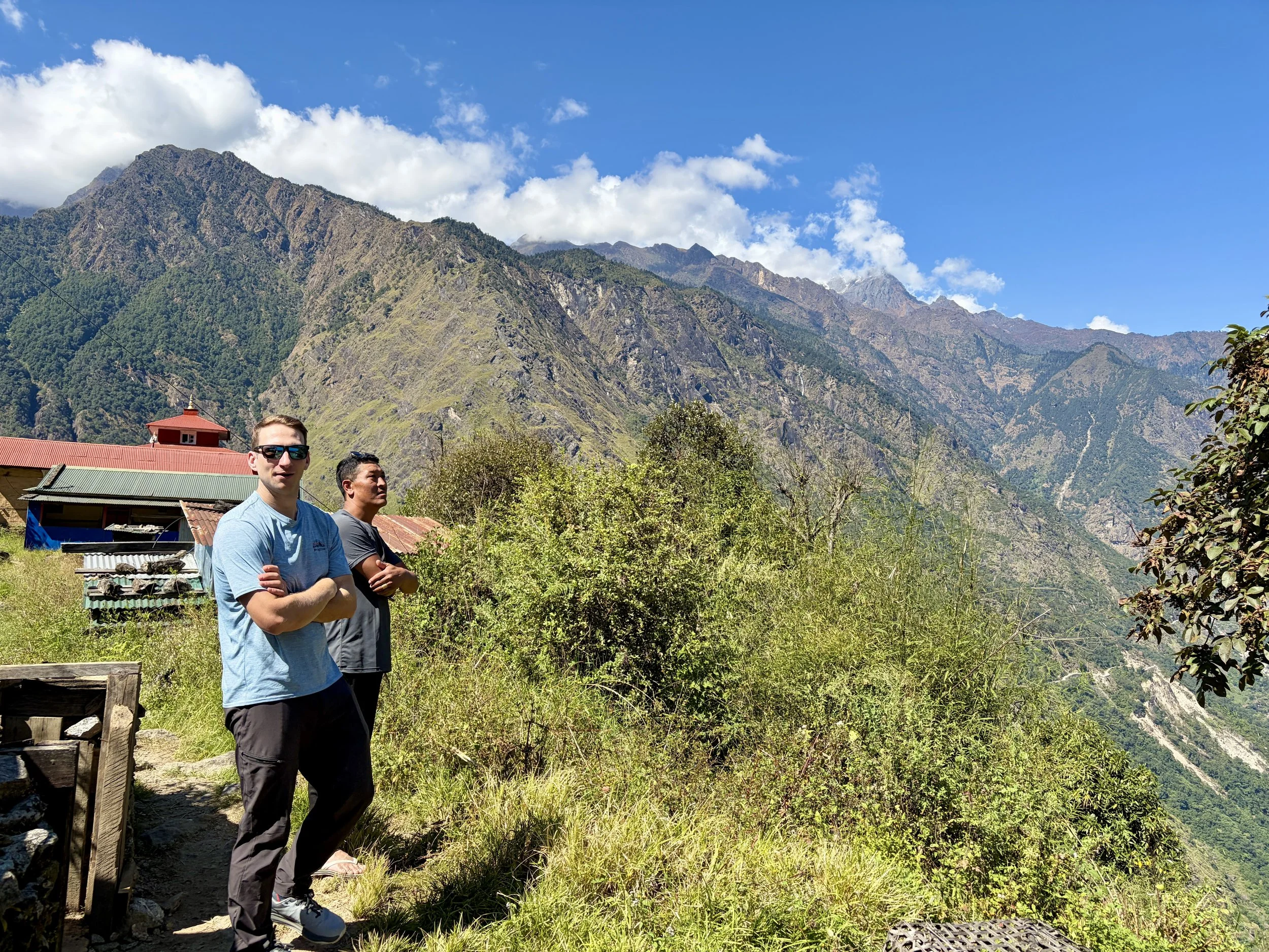
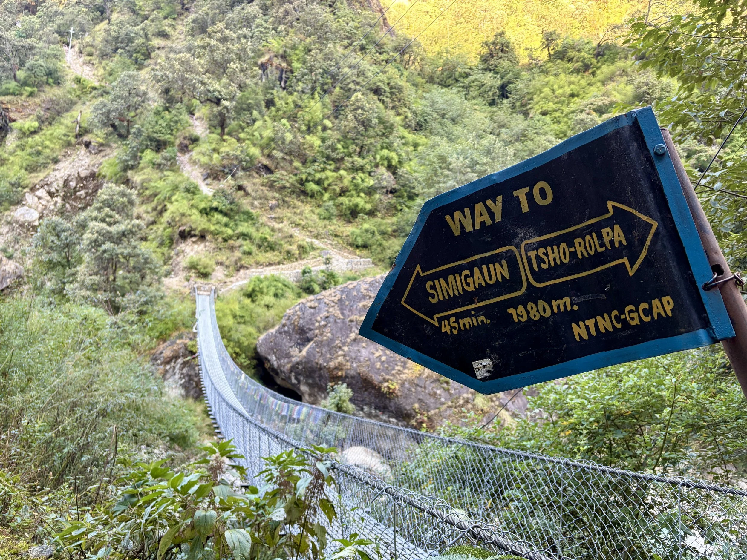
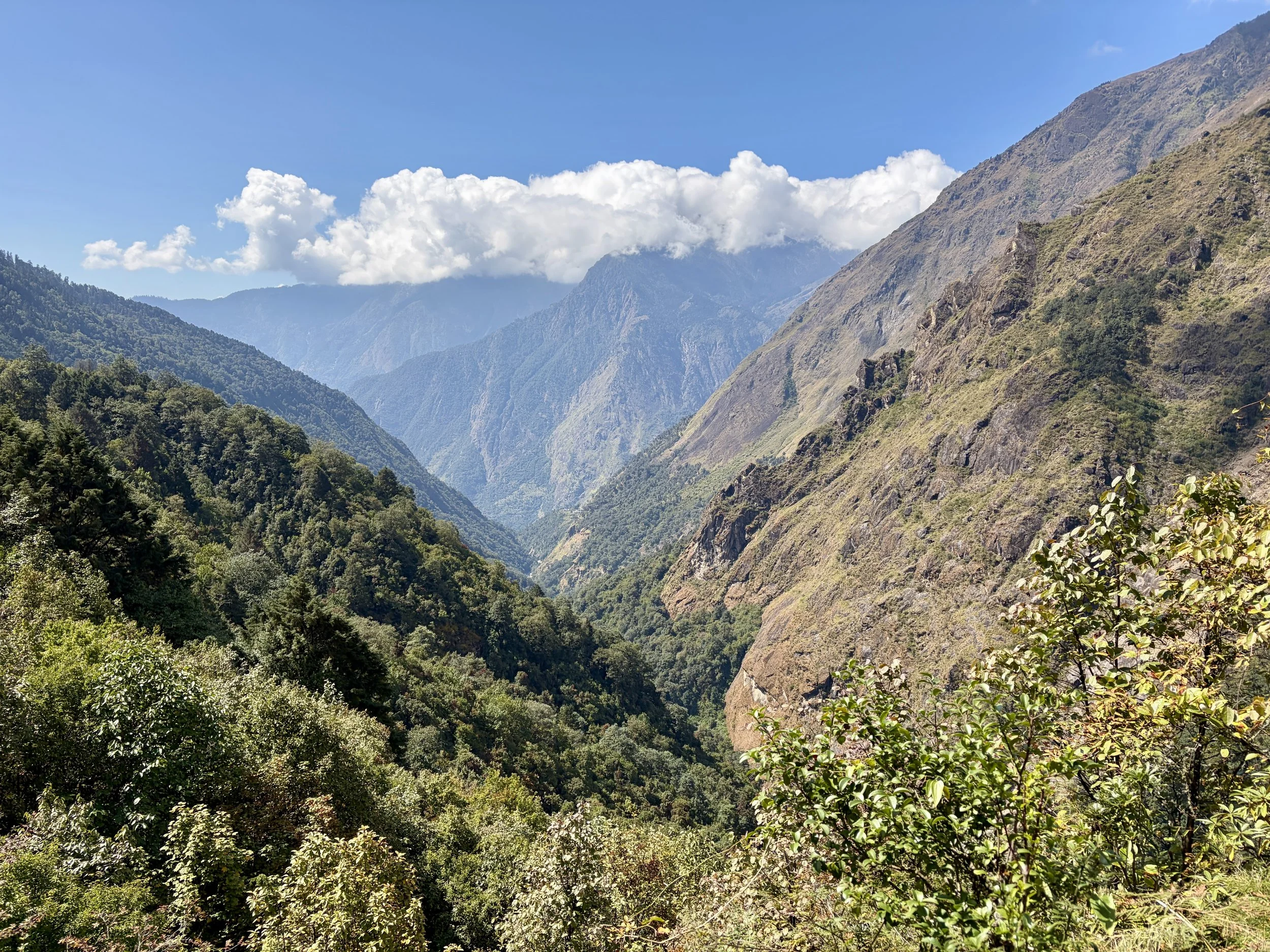
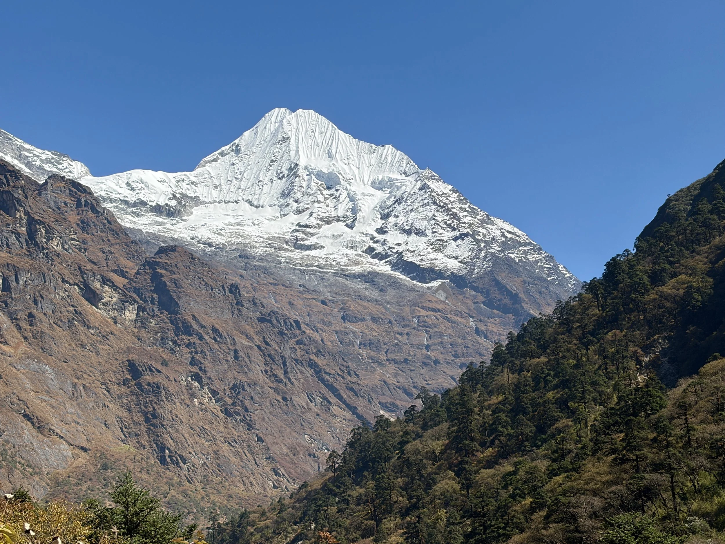
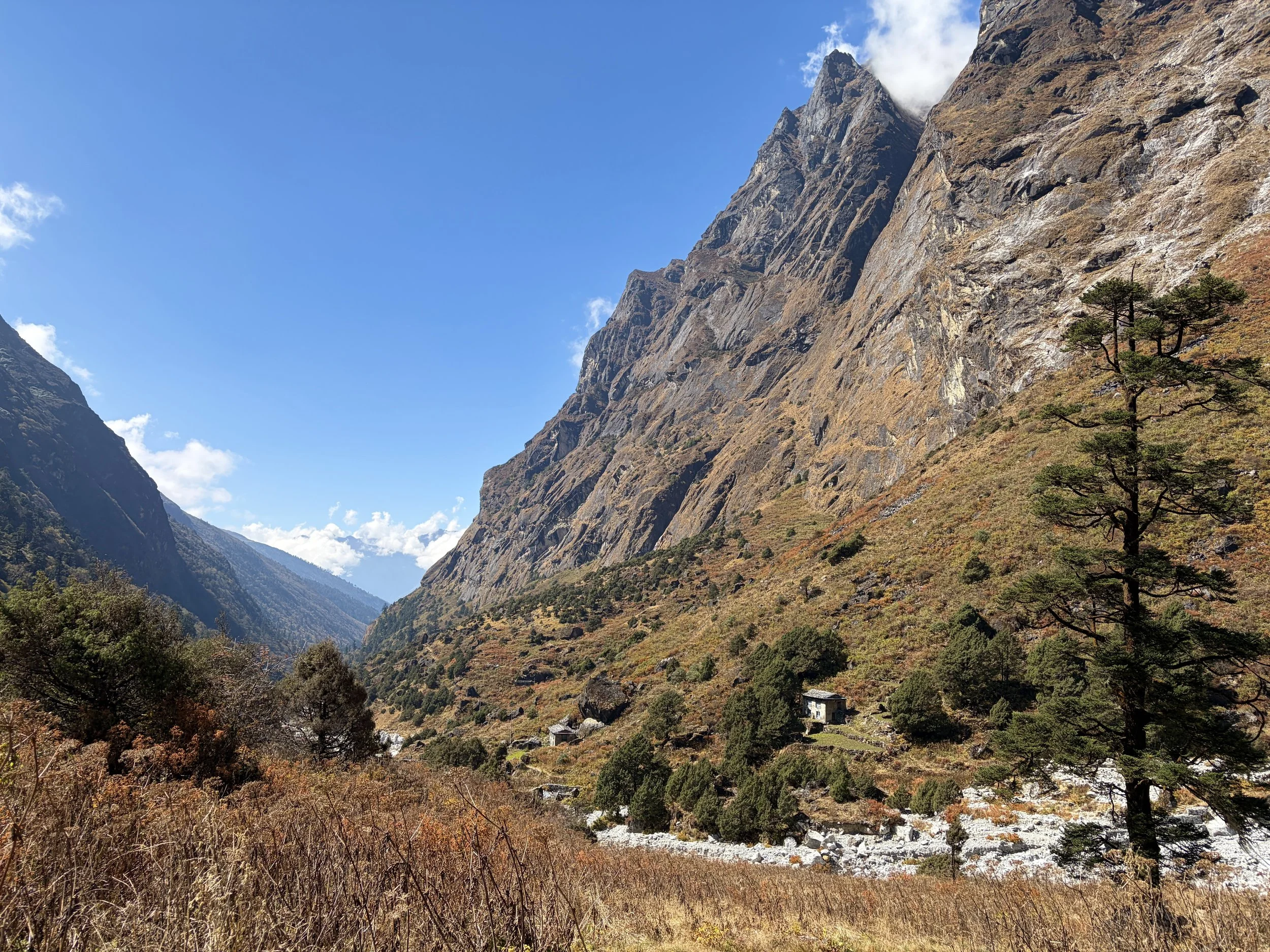
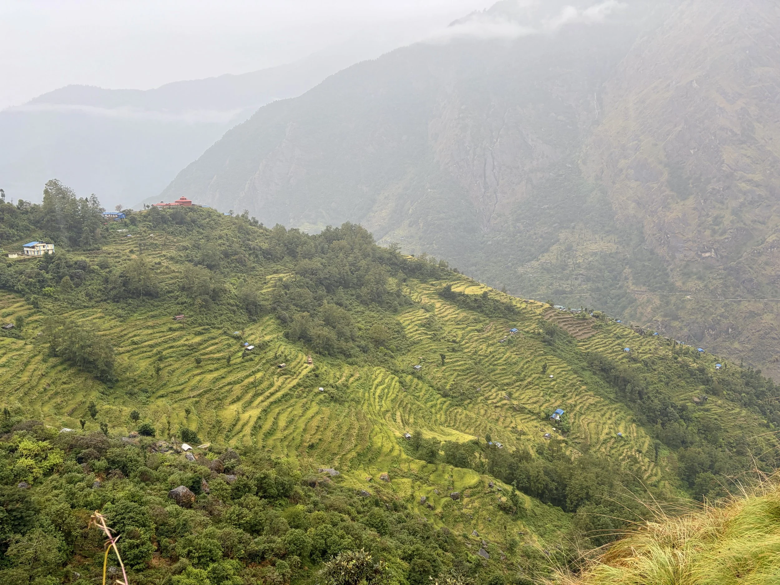
Our first day of trekking would be fairly short and easy. We headed out from our tea house and set out on the trail. We followed the river for a short while and then crossed it at a suspension bridge. After the bridge, we started ascending stairs. I wasn’t expecting the stairs to bring us all the way to the village of Simigaun, but a lot of stairs and approximately 1200 feet of elevation gain later we found ourselves in the small village. We took a break and watched daily life happen around us. Once we stopped sweating, we continued up to the tea house we’d spend the night at, Gaurishankar Lodge. This tea house is named for the mountain you can see from the ridge the tea house is on, Gaurishankar. It towers above the mountains around it with a peak elevation of 23,406 feet. This mountain has only been climbed a few times as it is a holy mountain in Nepali culture.
Mileage was short this day, but the trail (stairs) were quite steep and our guide said a short mileage day was necessary as the porters’ loads would all be the heaviest they’d be on this trip and the temperature the warmest. We did gain over 2,100 vertical feet in 1.75 miles, and considering how much I was sweating myself with just a day pack, I understood the decision. It allowed us a nice, easy afternoon to enjoy the views and relax. I was able to take a warm shower and do a little laundry, which was appreciated.
Stats: 1.75 miles, +2201 ft of elevation gain, -157 ft of elevation loss


Day 3: Simigaun to Dongang
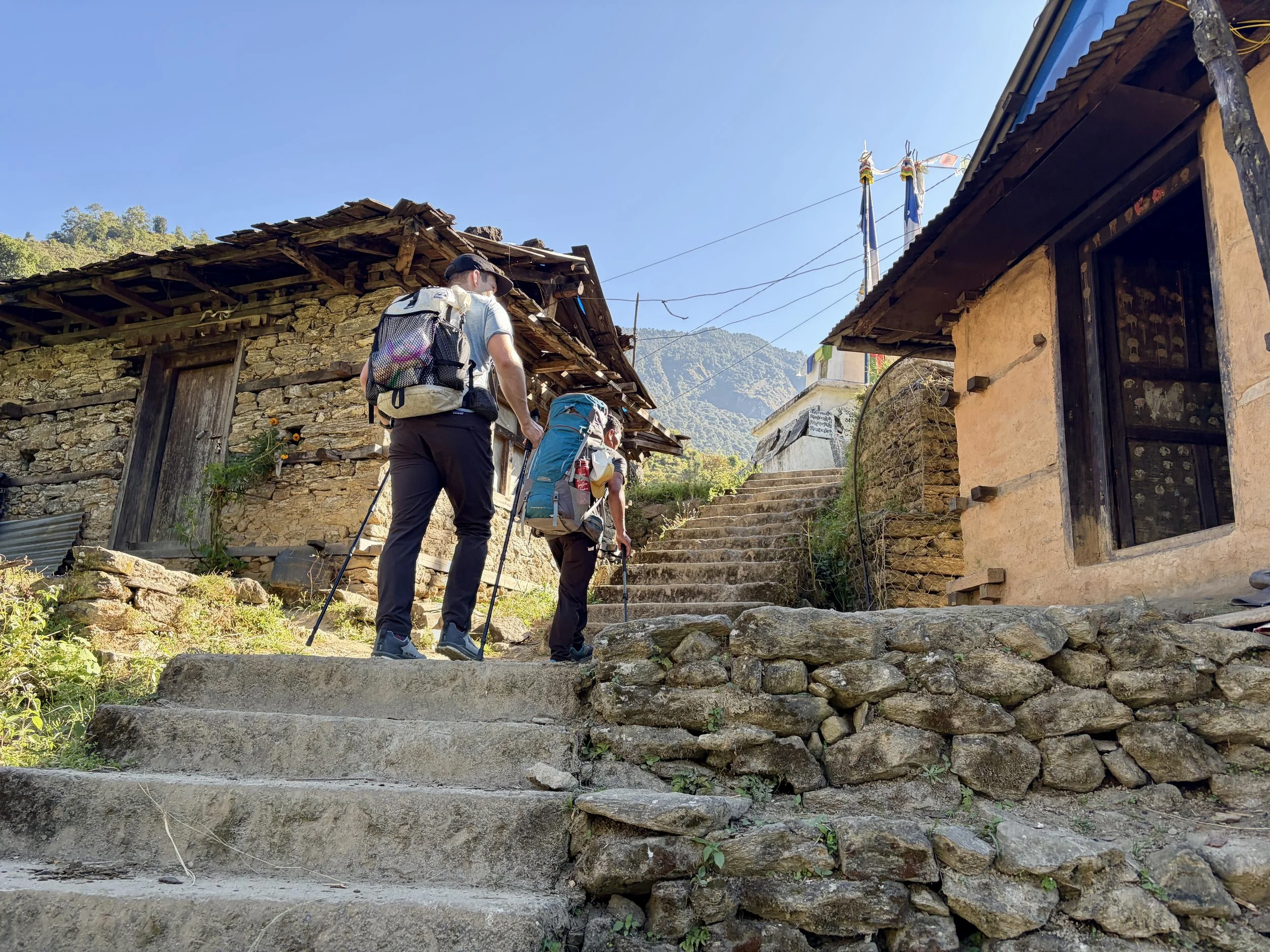
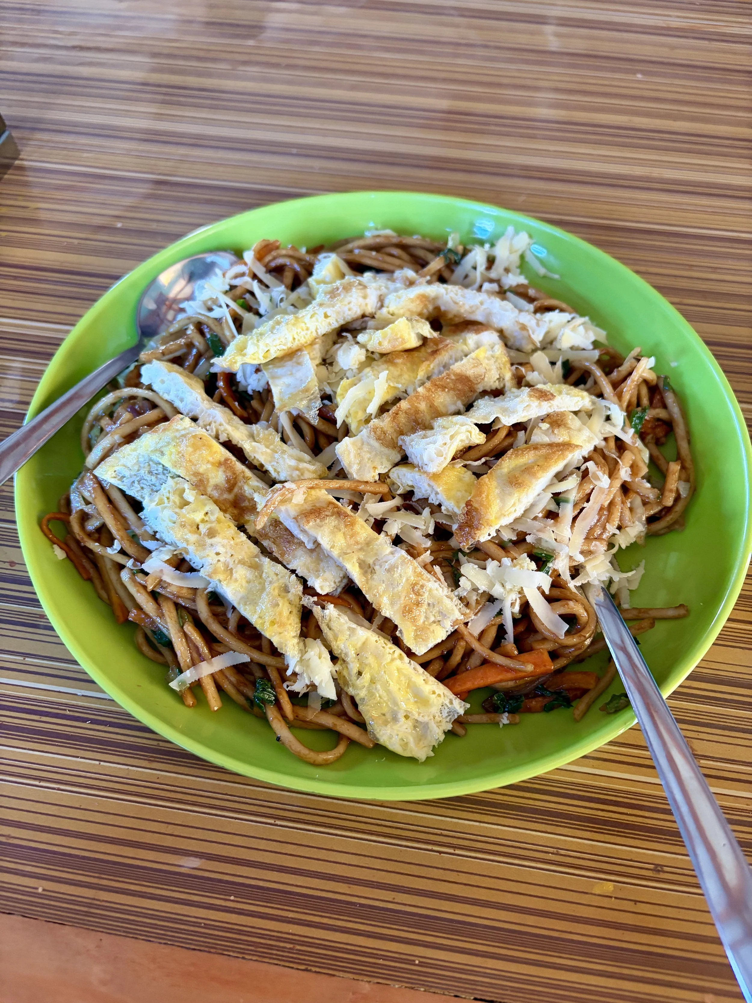
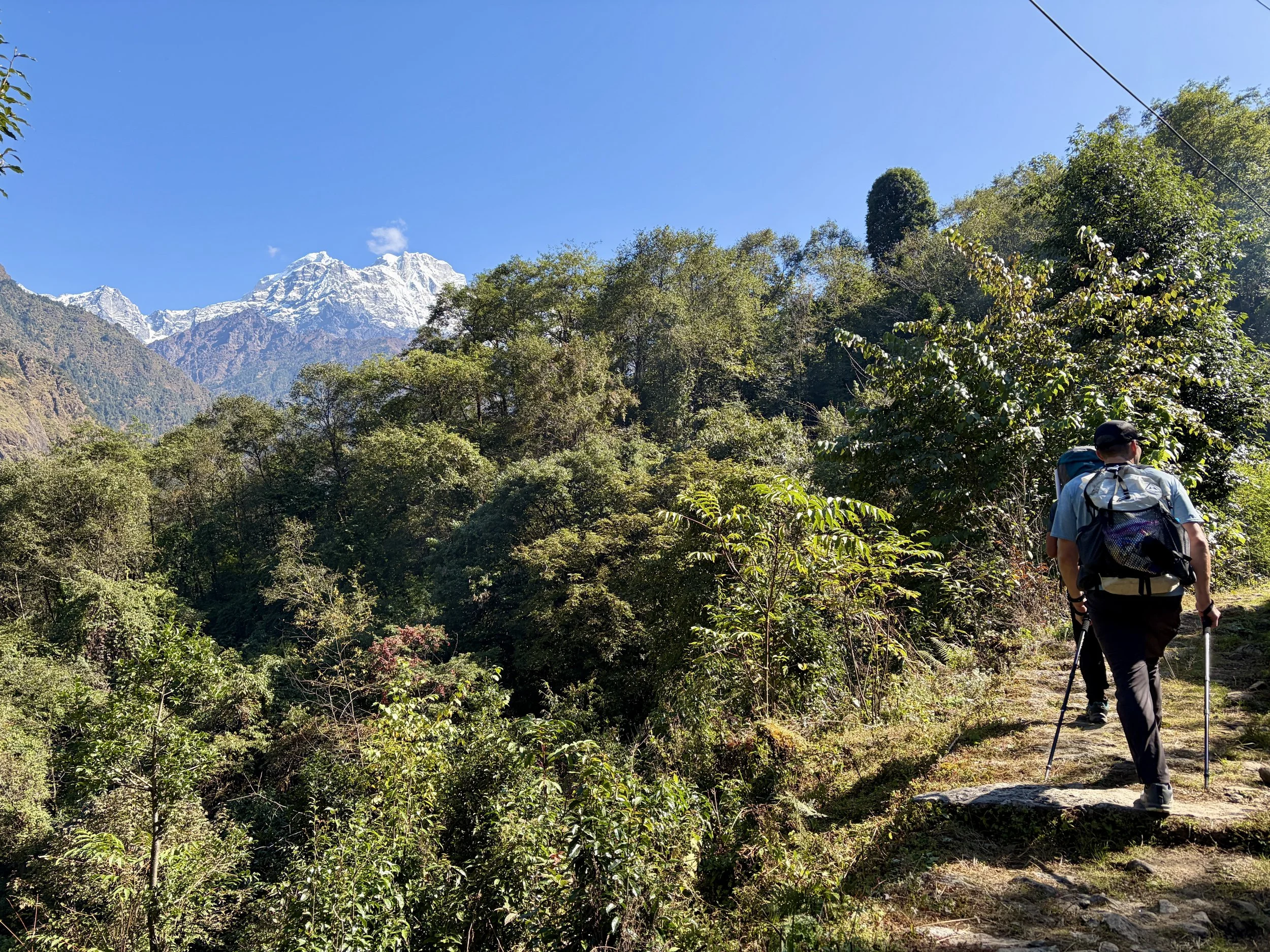
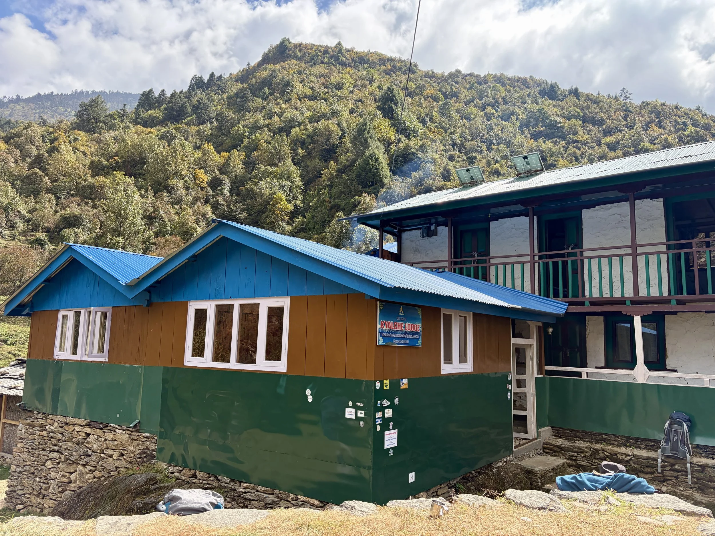
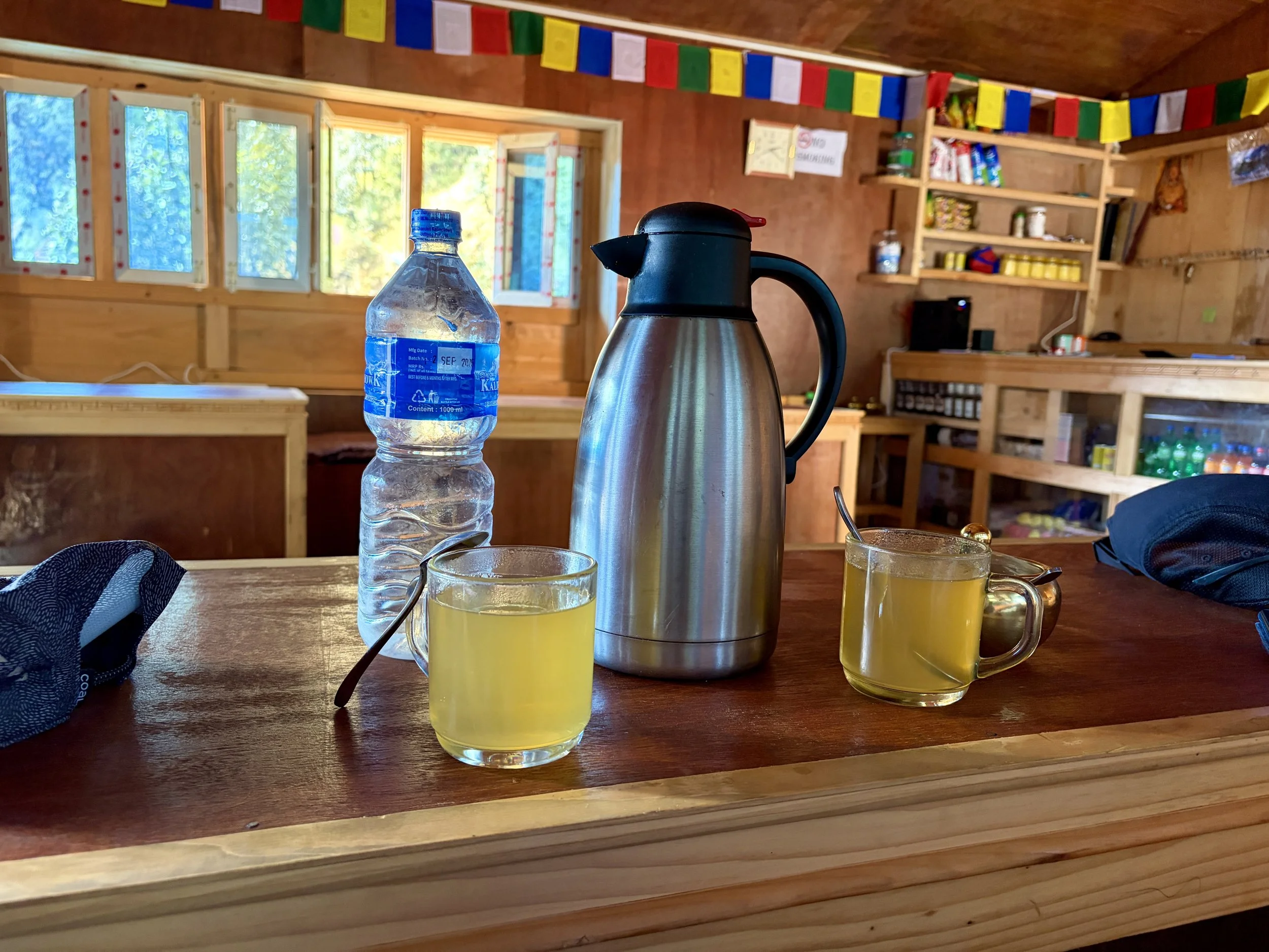
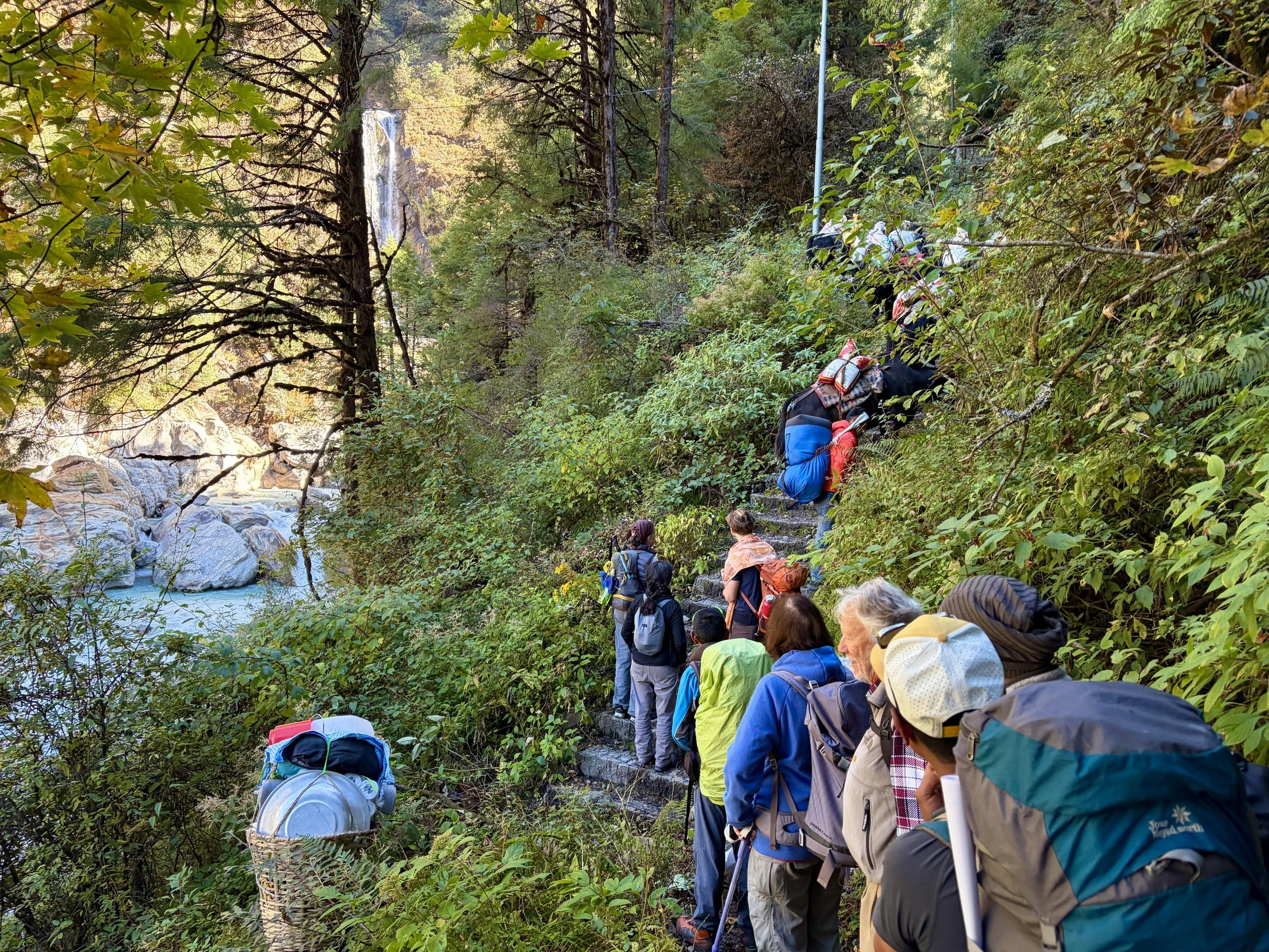
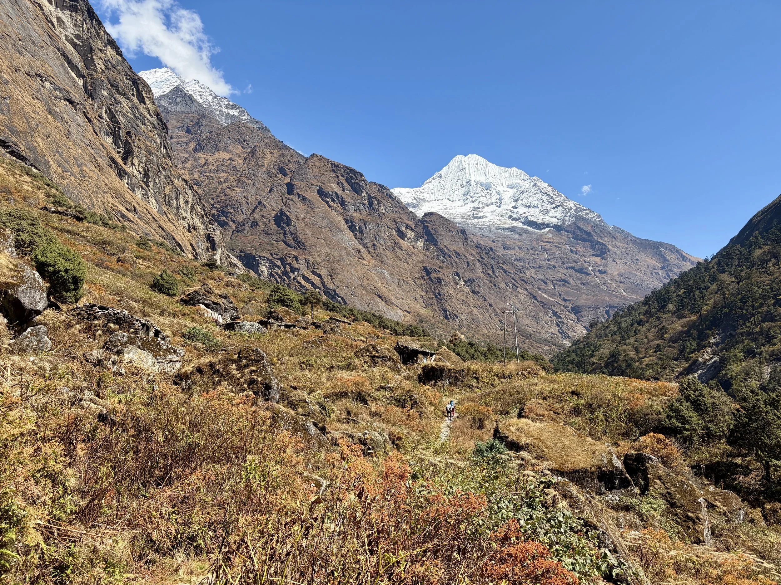
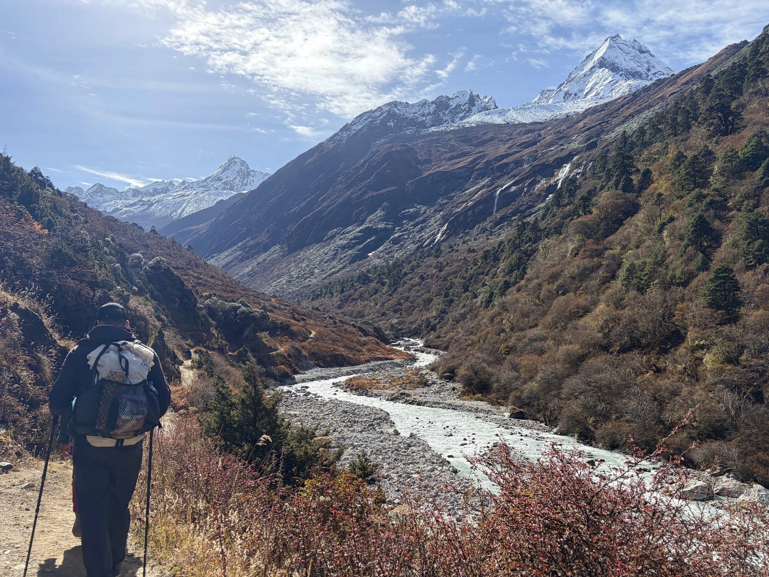
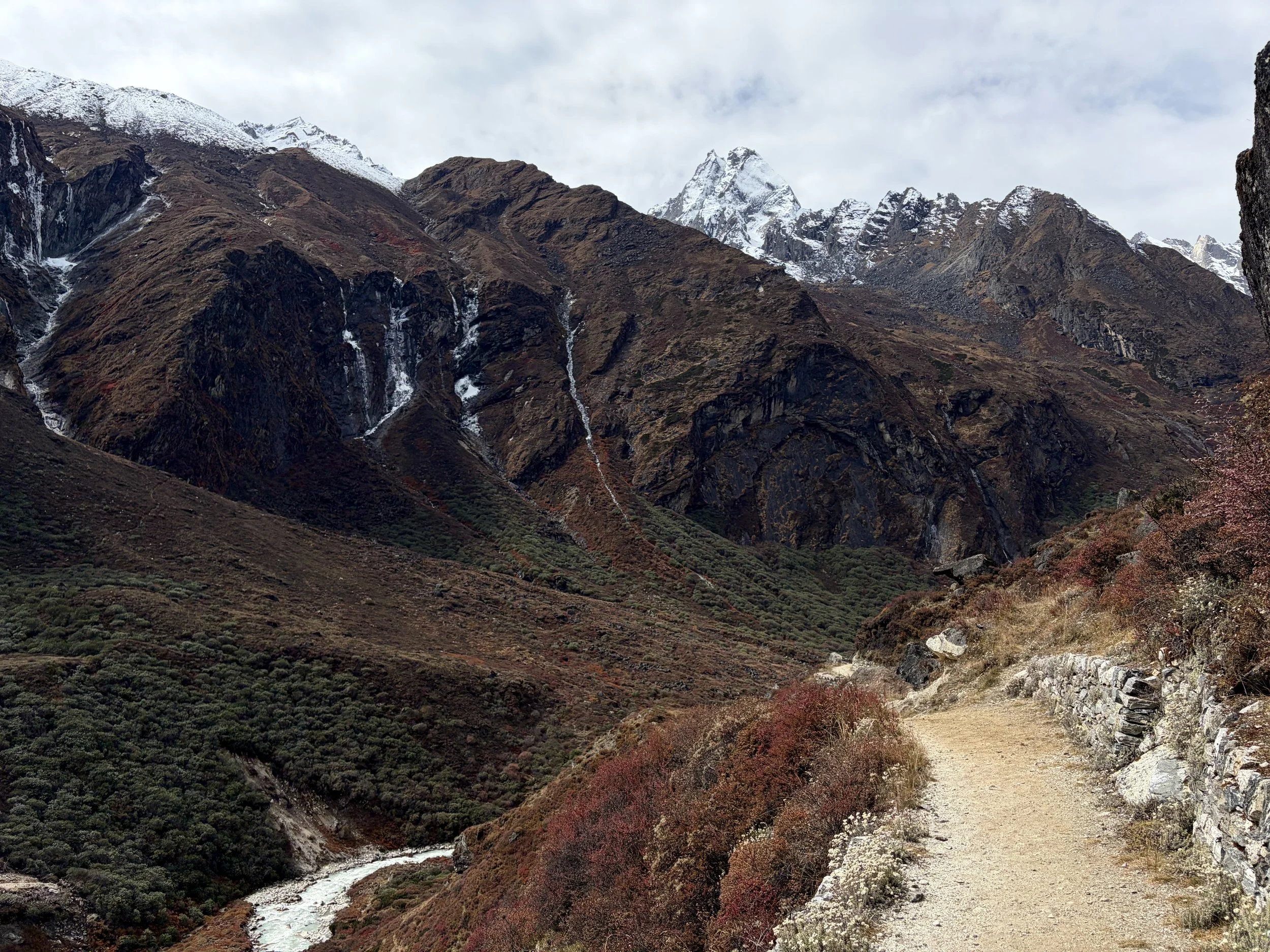
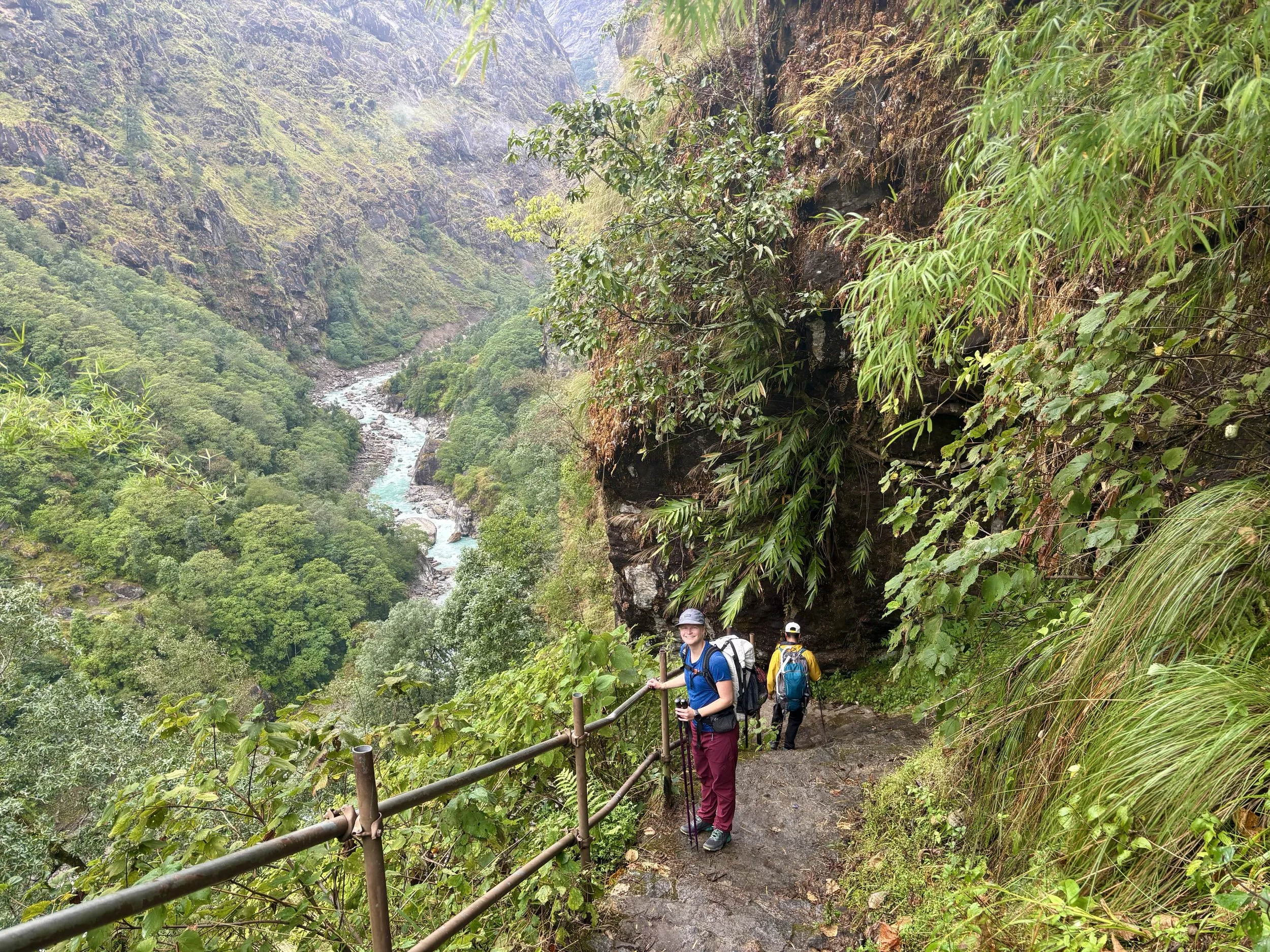
On our third day we woke up for 7am breakfast and were on the trail by 8am. We headed up into the valley above the Rolwaling Kosi River. Today’s hike would once again involve a fair amount of elevation gain for the mileage. We found ourselves ascending quite a few stairs again throughout the day. We encountered a mix of locals, Nepali tourists, and international tourists on the trail. After a few hours we stopped at a tea house for some sweetened hot lemon water and then continued along the trail to Kyalche, where we would have lunch. At times we had views of Gaurishankar, but more frequently it would be hiding in the clouds. After a lunch of fried rice and lo mein, we walked for another half an hour to the small village of Dongang. We ordered ourselves a pot of honey lemon ginger tea and settled in for the rest of the day.
Stats: 5.91 miles, +3963 ft of elevation gain, -1329 ft of elevation loss


Day 4: Dongang to Beding
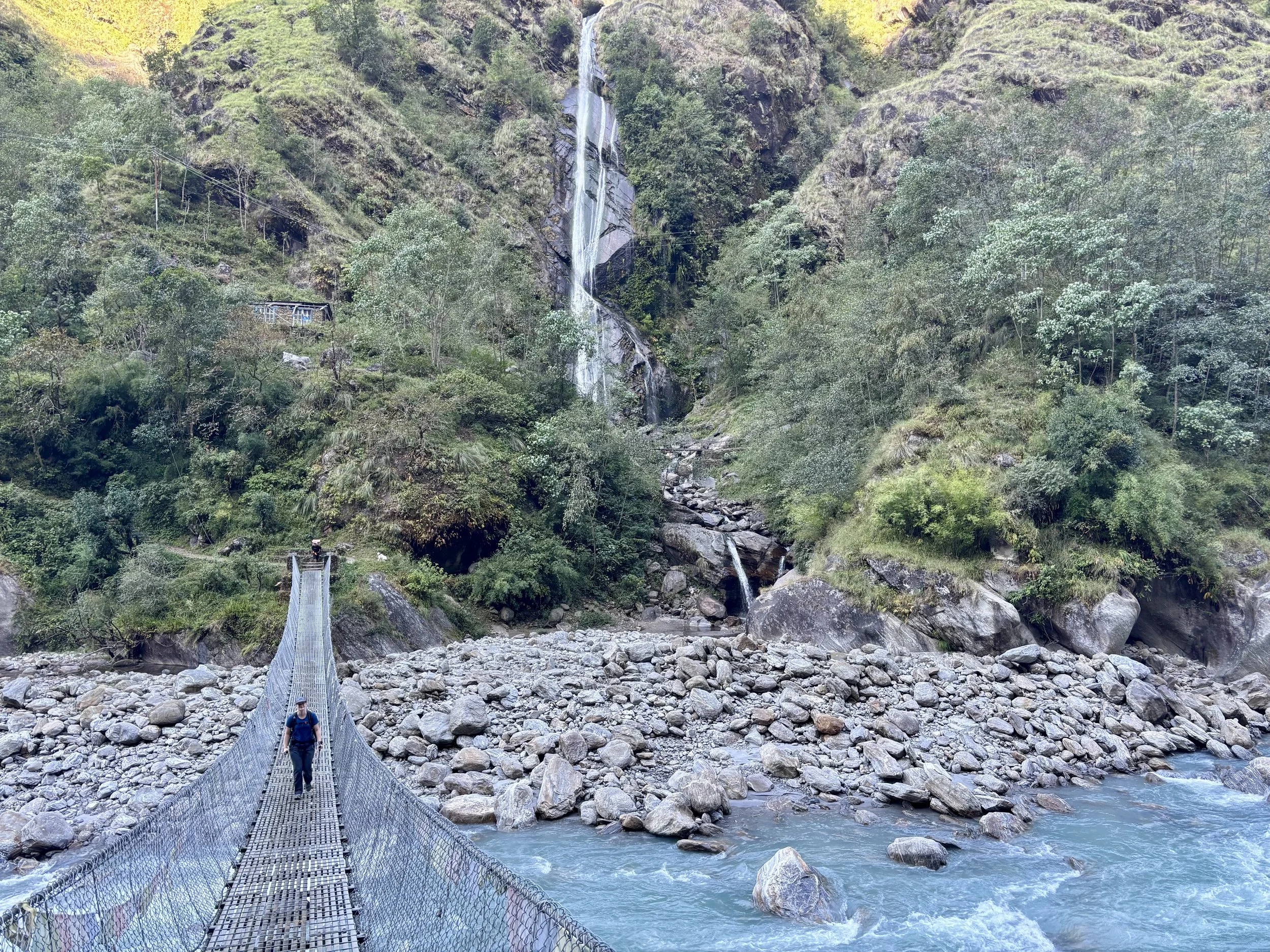
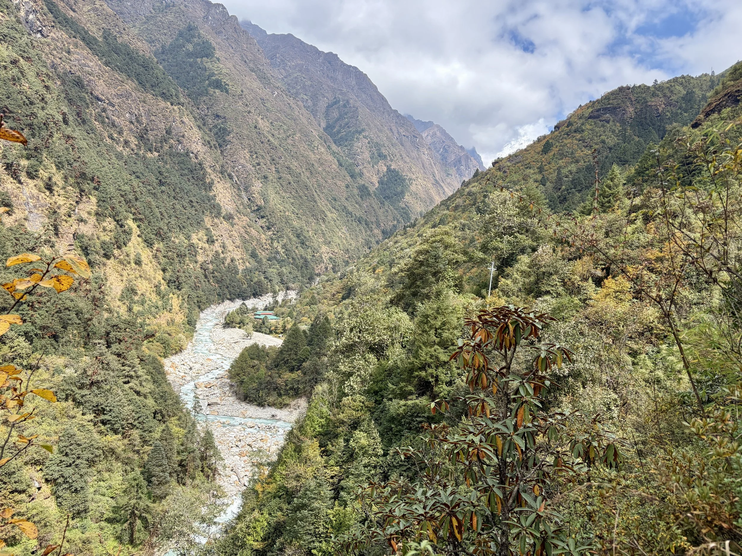
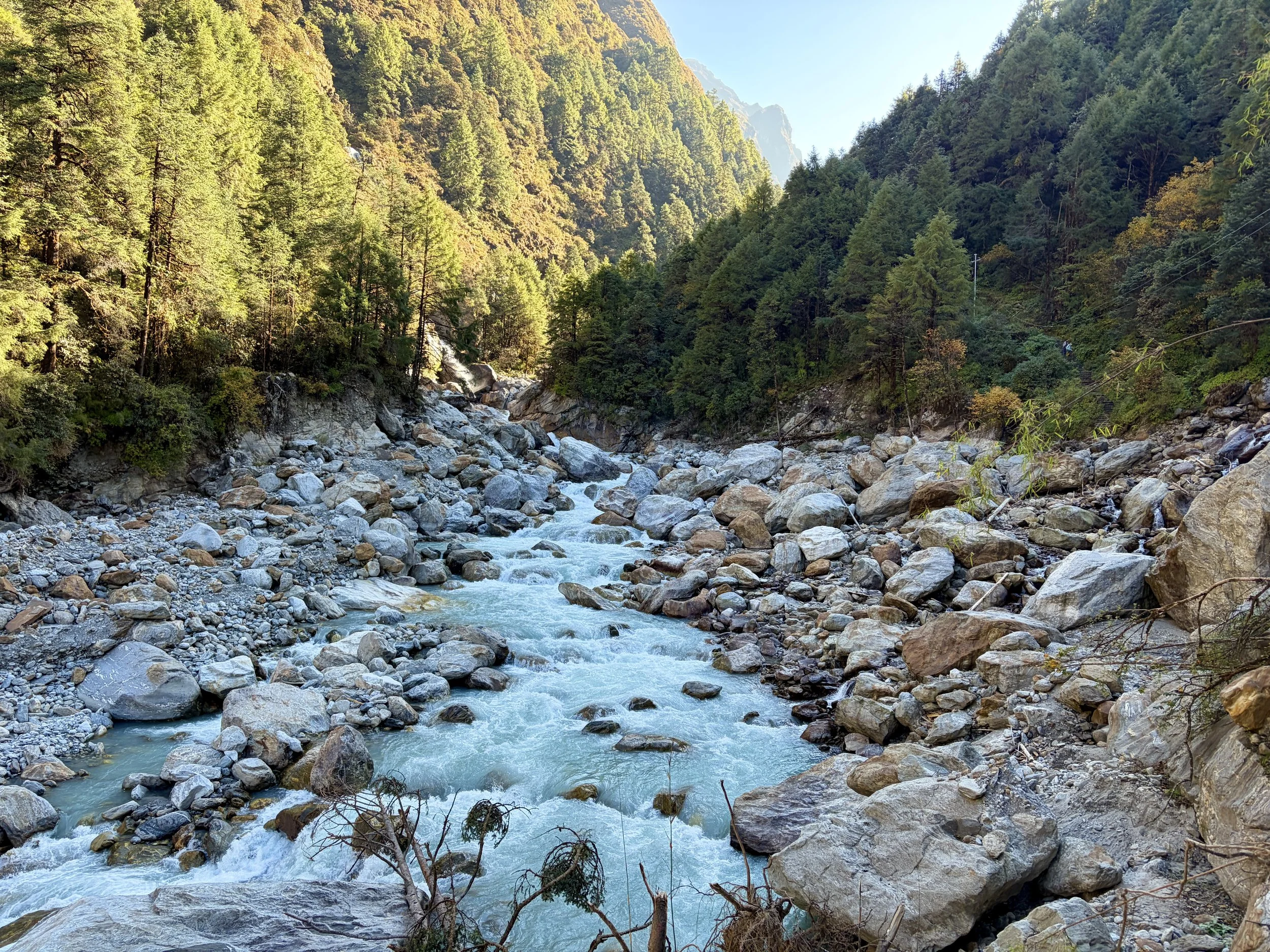
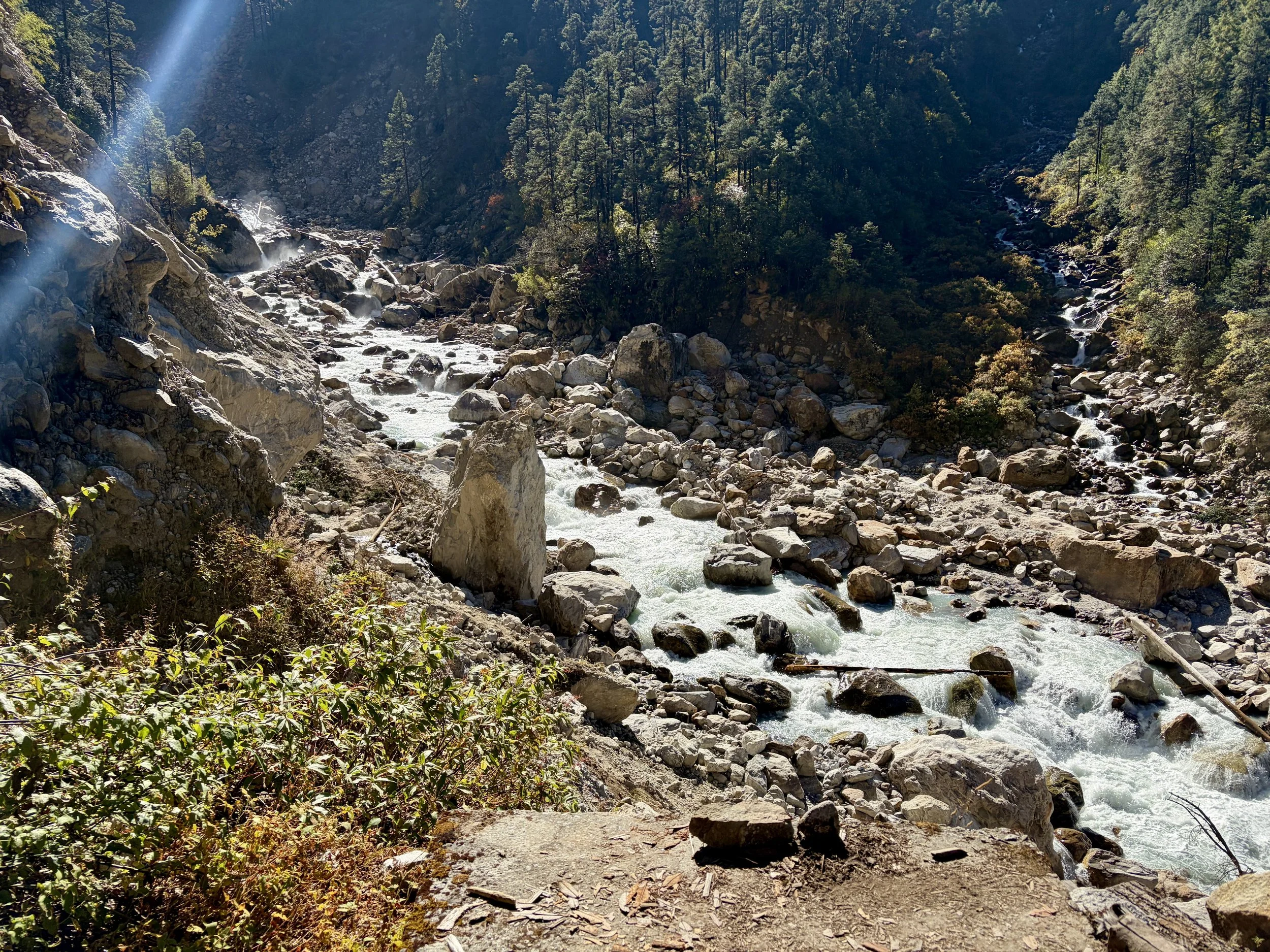
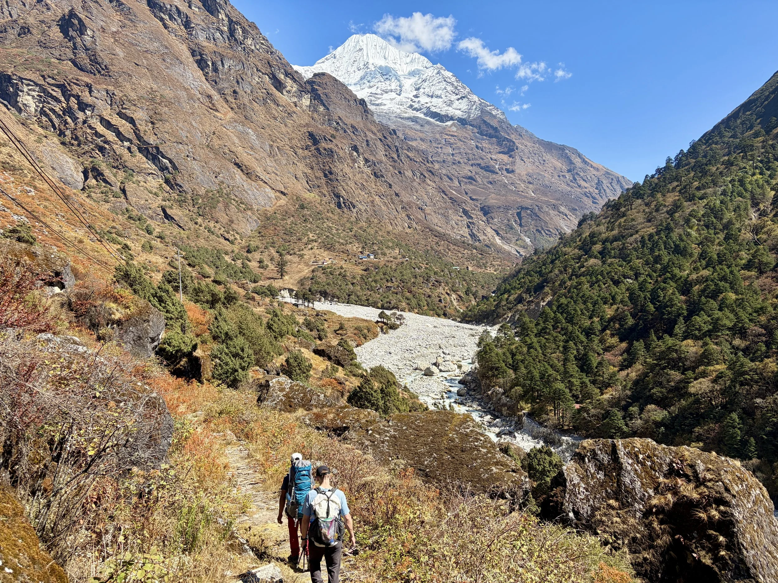
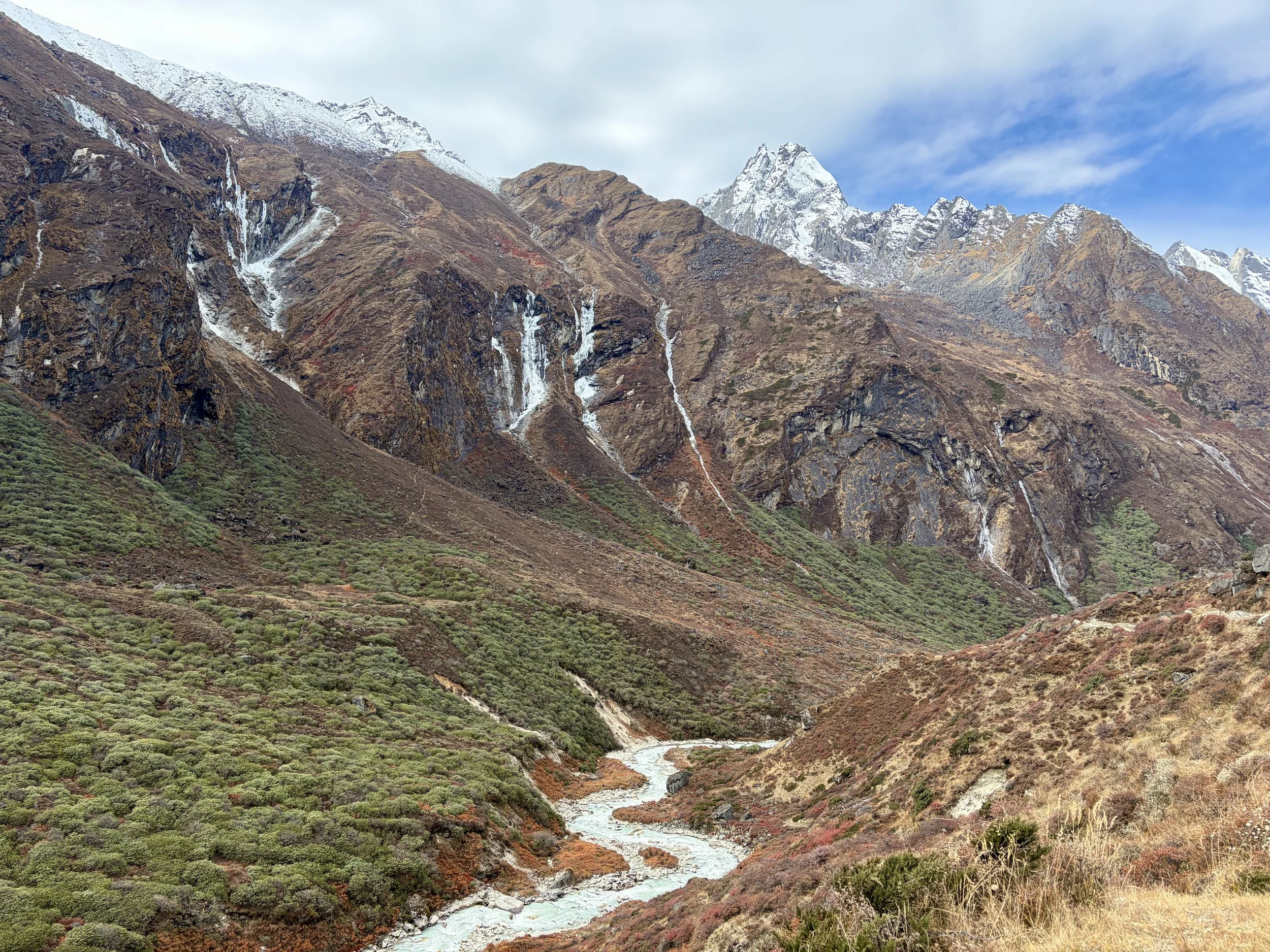
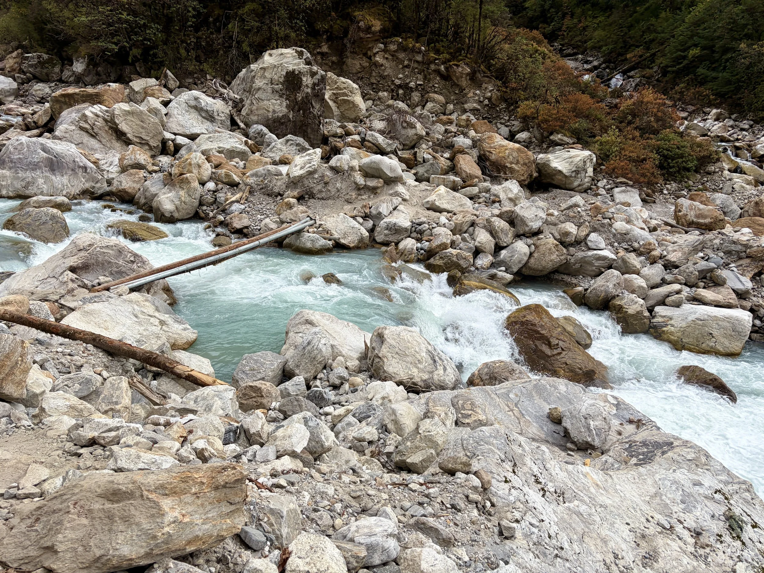
On our fourth morning, we woke up at the same time as the day before, had breakfast at 7am, and were on the trail by 8 again. We continued up the valley along the Rolwaling Kosi River. It was wonderful to spend most of the morning witnessing the power of this river. Our guide told us that 10 years ago it wasn’t as big as it is now. I suspect this is due to glacier melt happening faster than before, but we didn’t get an explanation why from the guide.
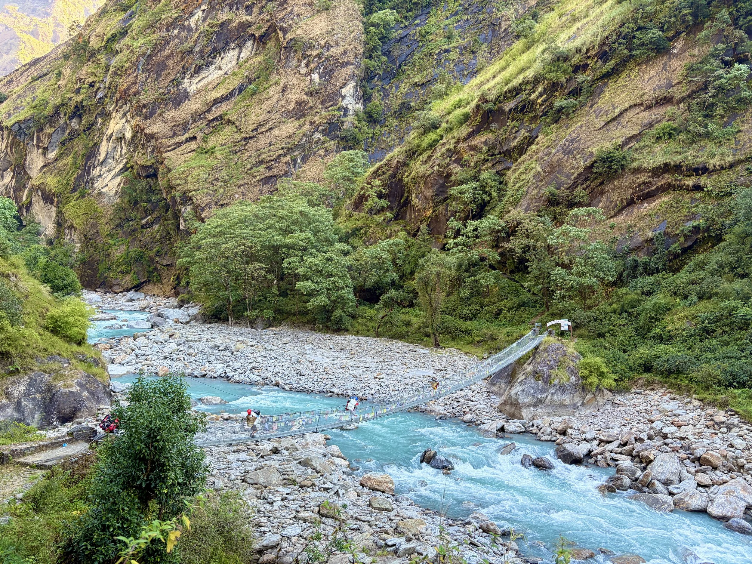
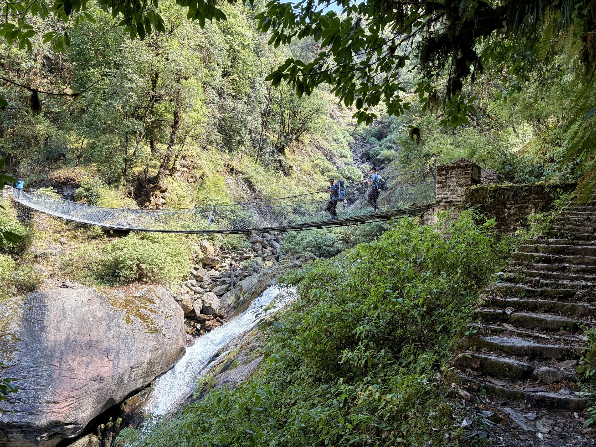
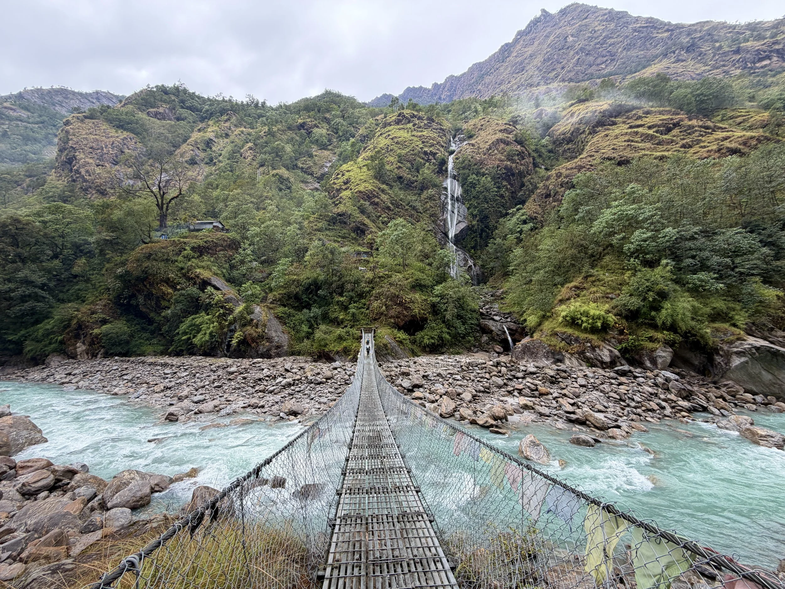
After a few miles we found ourselves at a river crossing that clearly had a bridge going across the river at some point, but the part that actually crosses the river must have washed out (we later found out it had just washed out a few weeks earlier). Now, there were two metal telephone poles and some downed trees tied together with some rope that went across the river. There also was a rope hand-line we were able to use when we crossed. It definitely wasn’t a spot you wanted to fall in though as it was right above a section with some enormous rapids. Once on the other side, we continued along the bank and made our way up to some half washed out stairs.
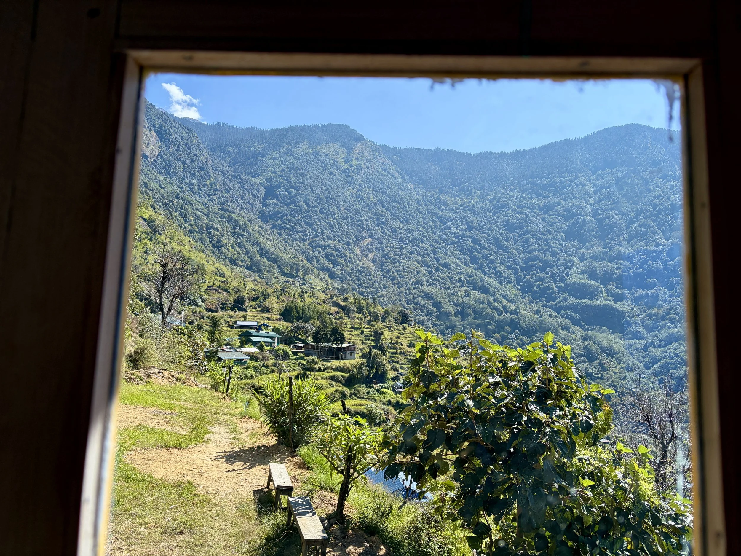
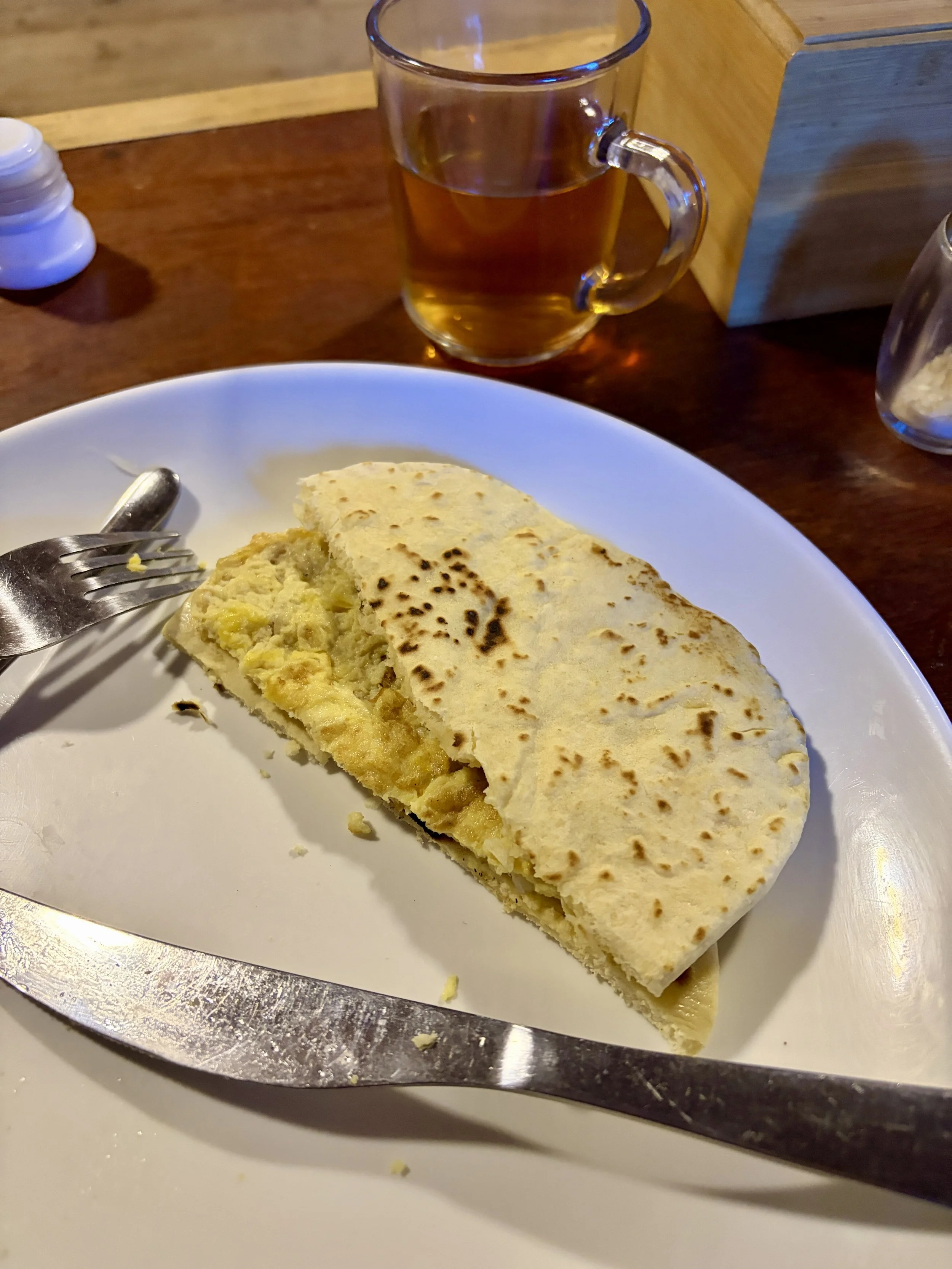
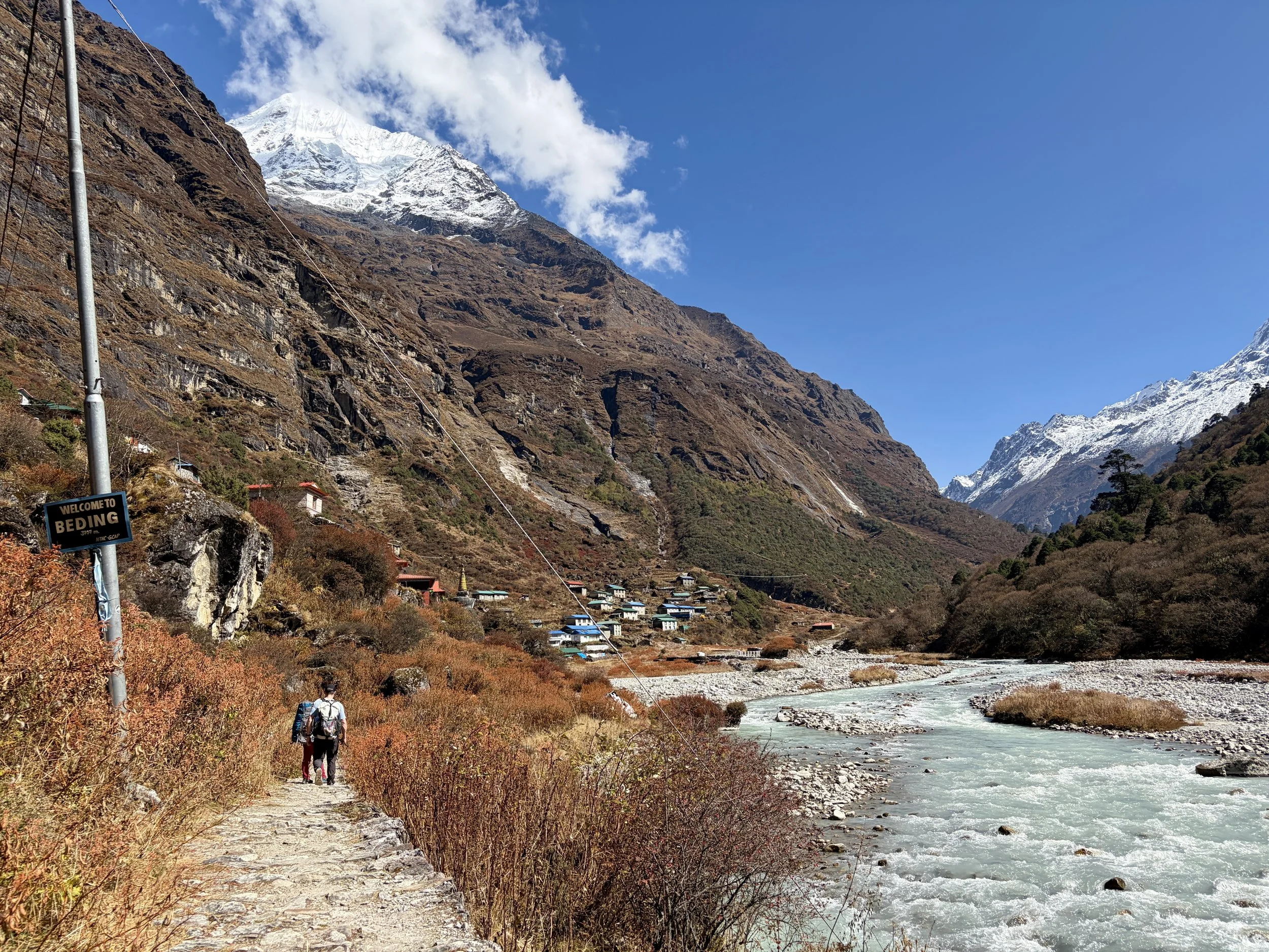
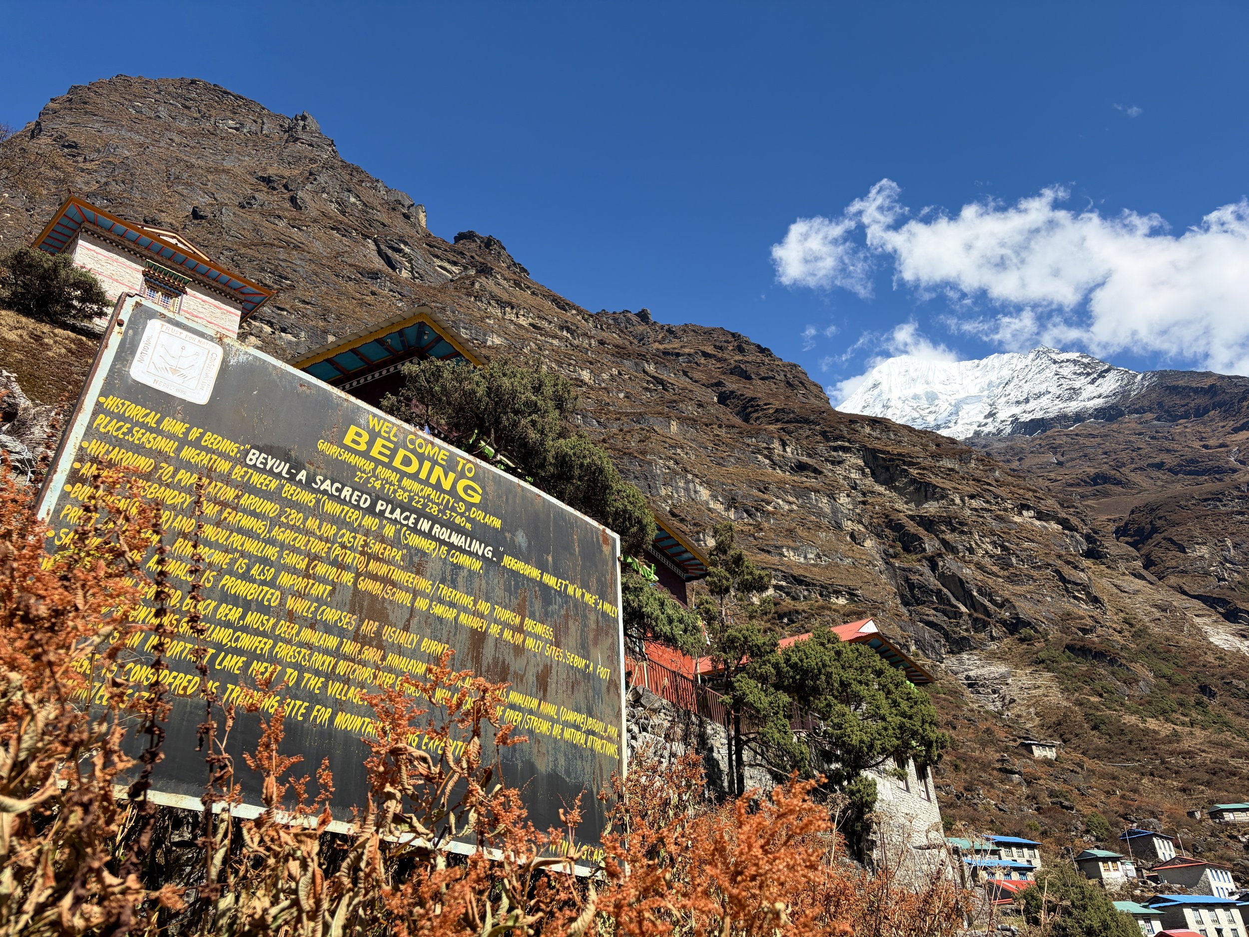
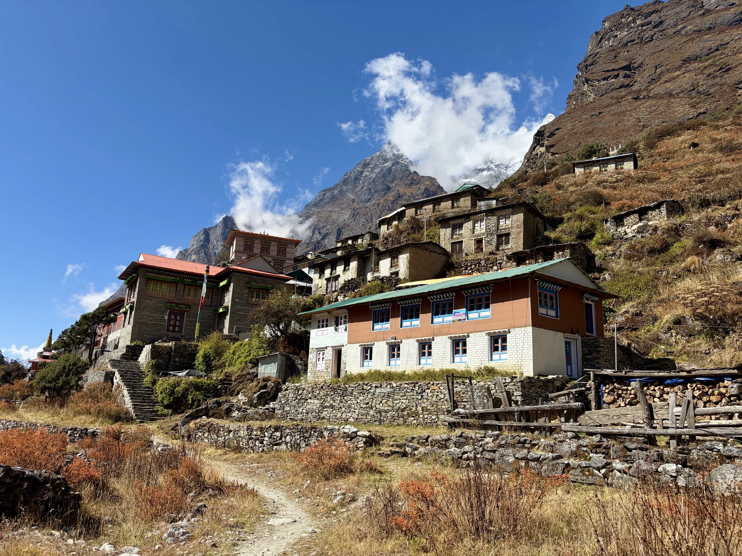
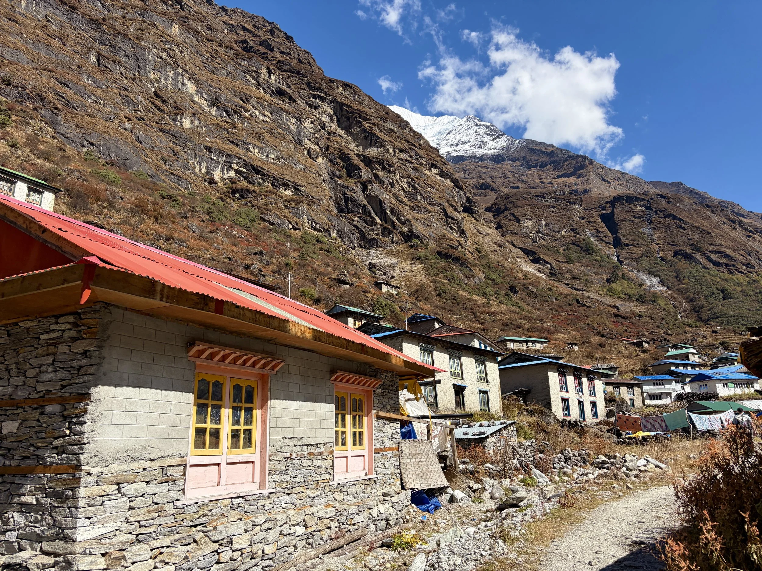
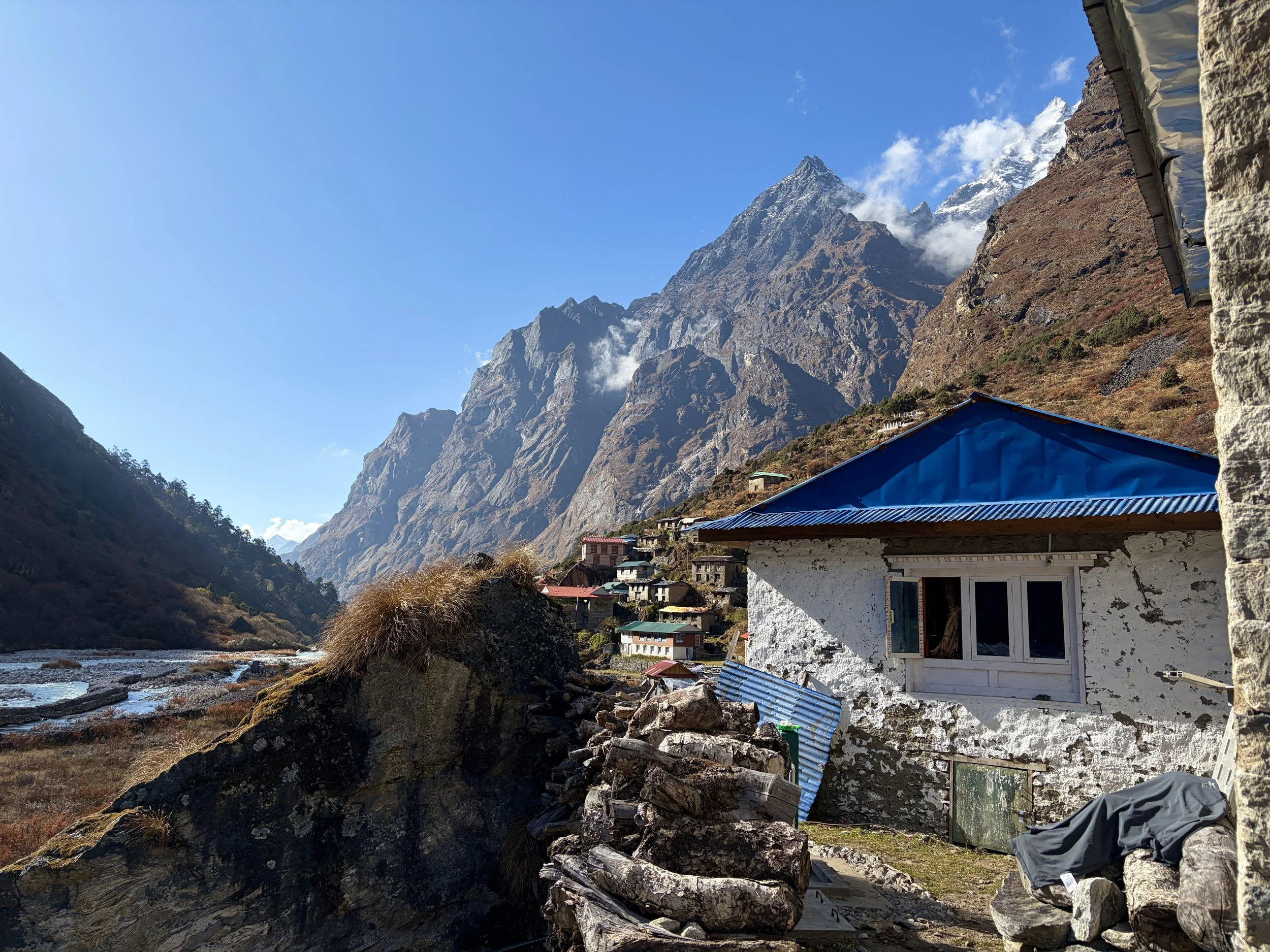
After another 20 minutes of hiking, we found ourselves at a teahouse where we decided to stop for some tea and cookies. After our break, we continued our journey and started getting some beautiful views of Chekigo. The trail meandered through some villages that didn’t look like they were very lived in anymore, and we soon found ourselves in Beding, where we’d have lunch and also spend the night. After a big lunch of vegetable fried rice, dal bhat, and of course some tea, we relaxed for the rest of the afternoon and evening.
Stats: 6.84 miles, +3819 ft of elevation gain, -732 ft of elevation loss


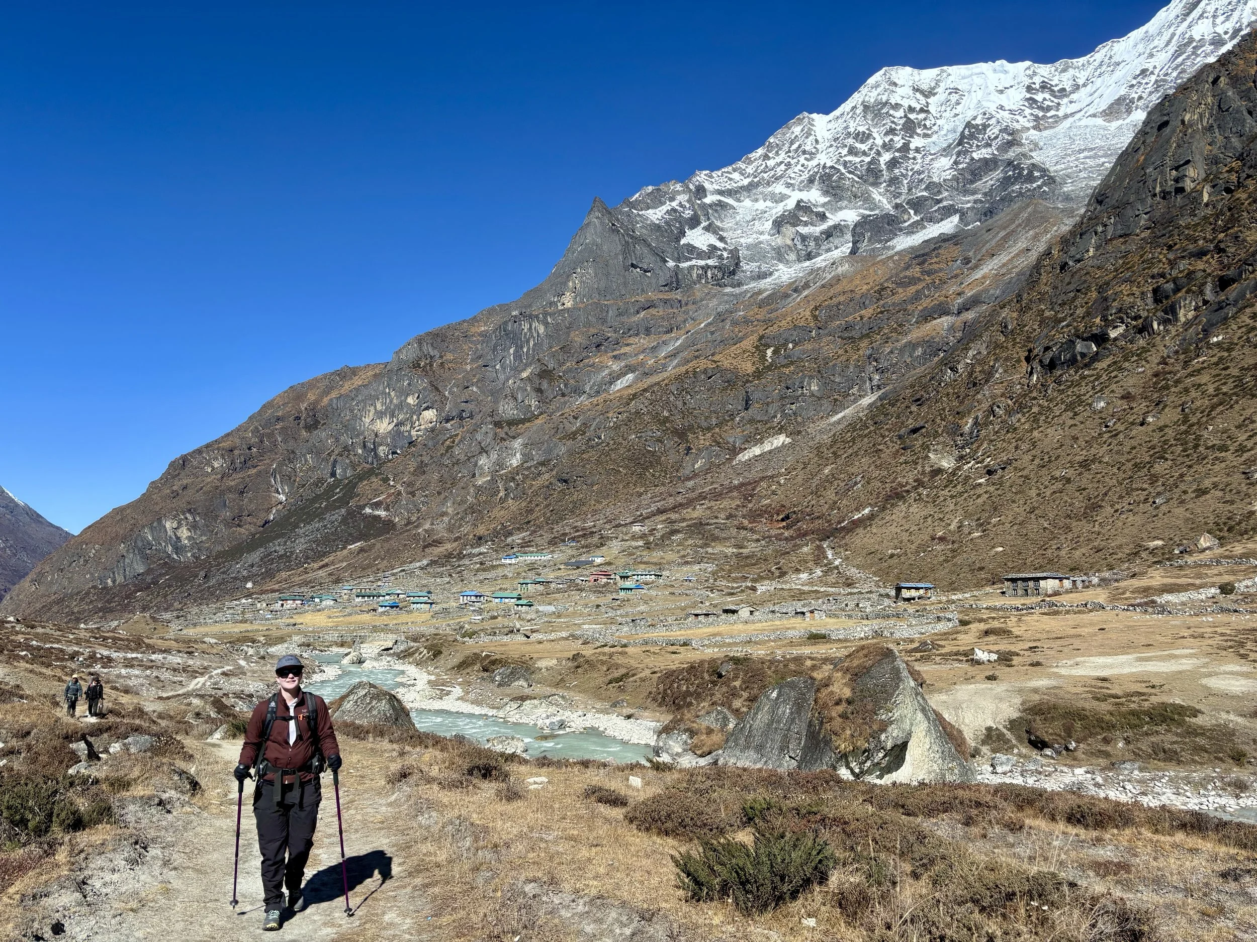
Day 5: Beding to Na
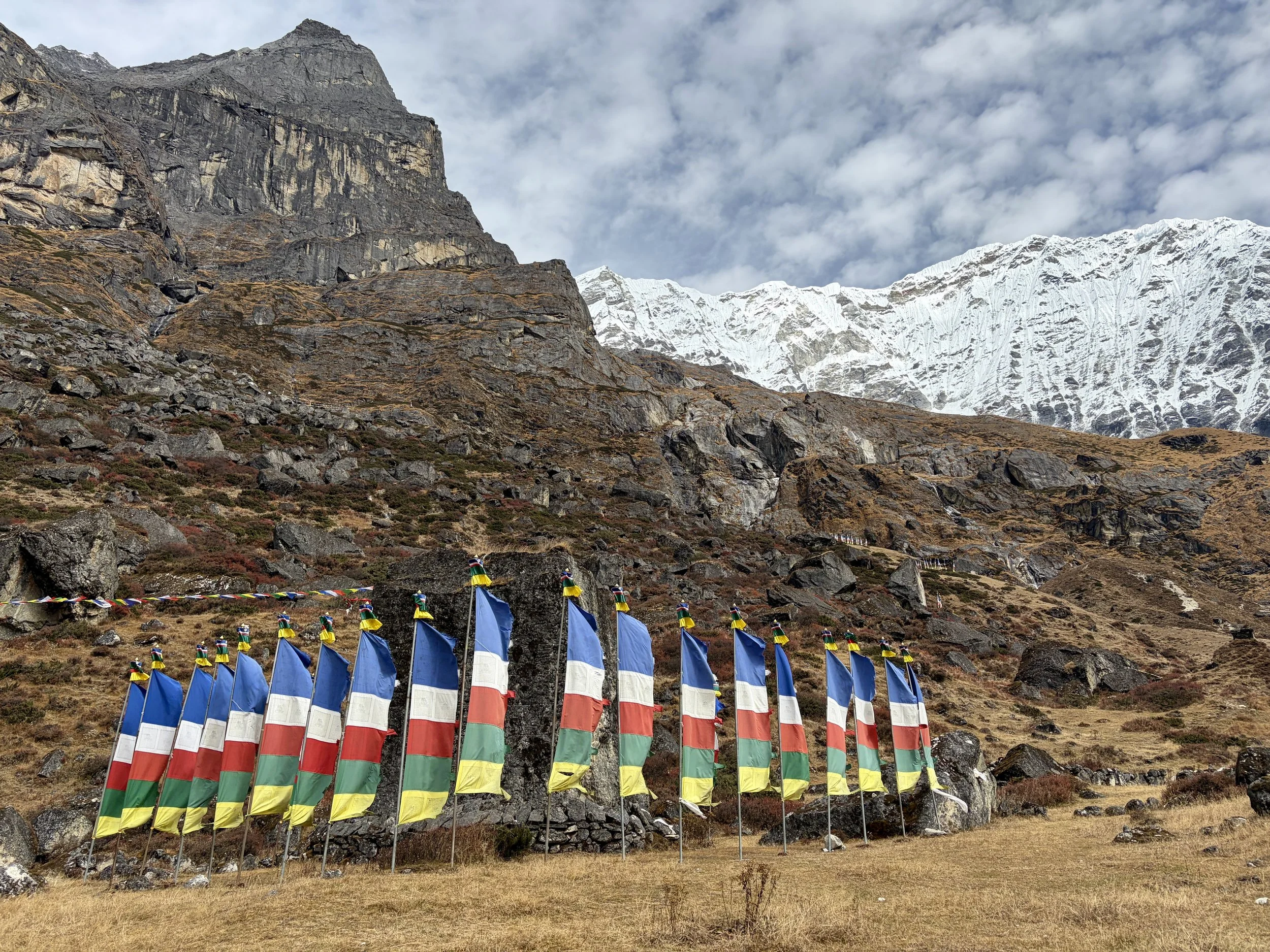
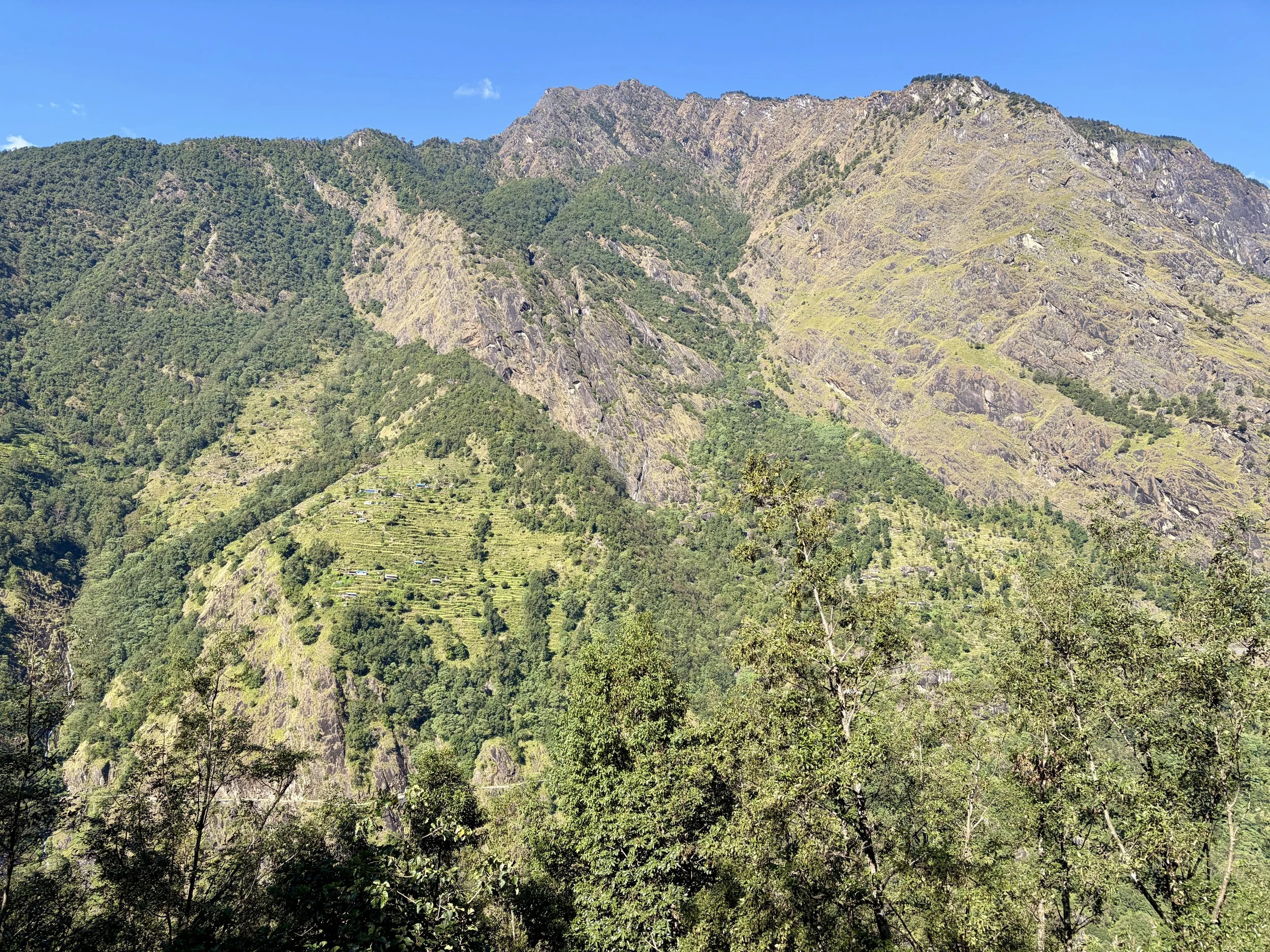
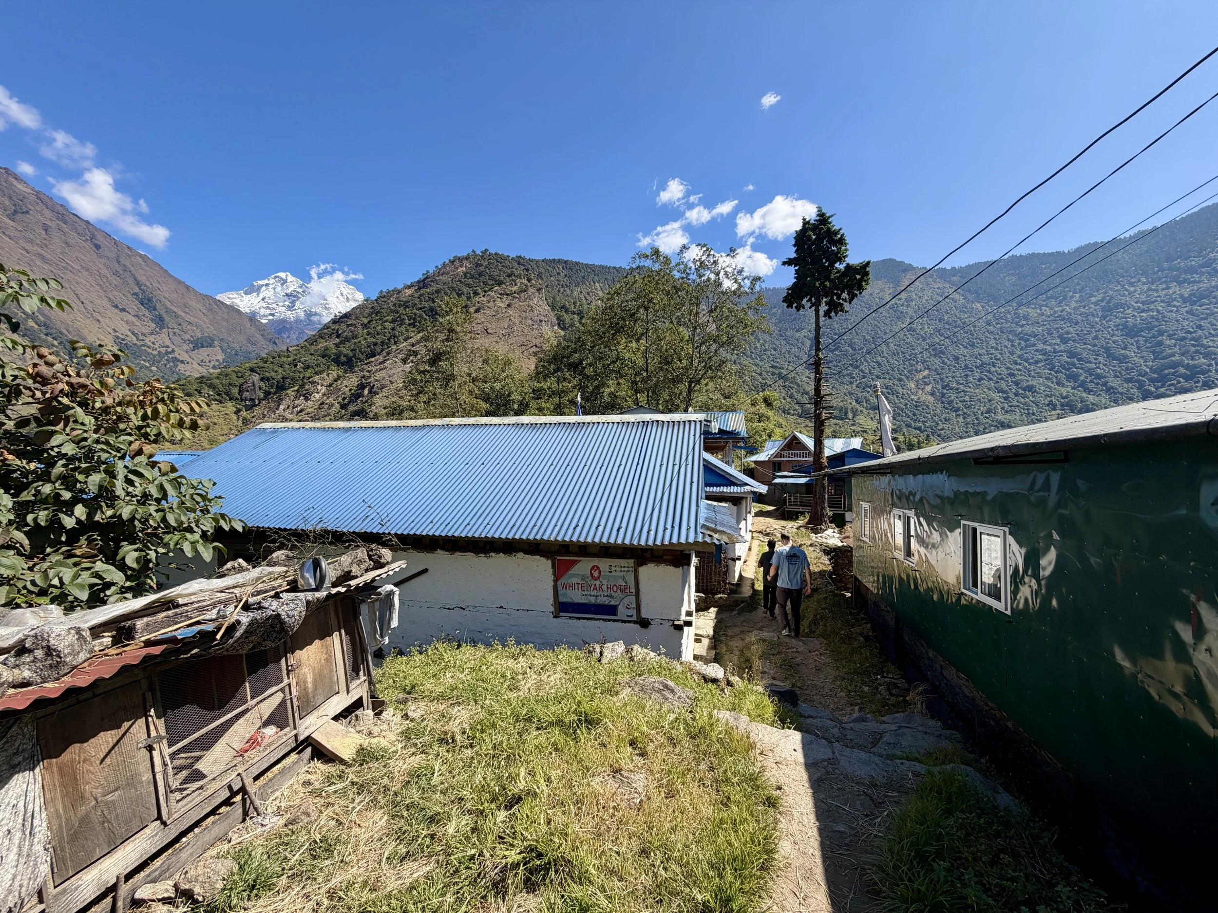
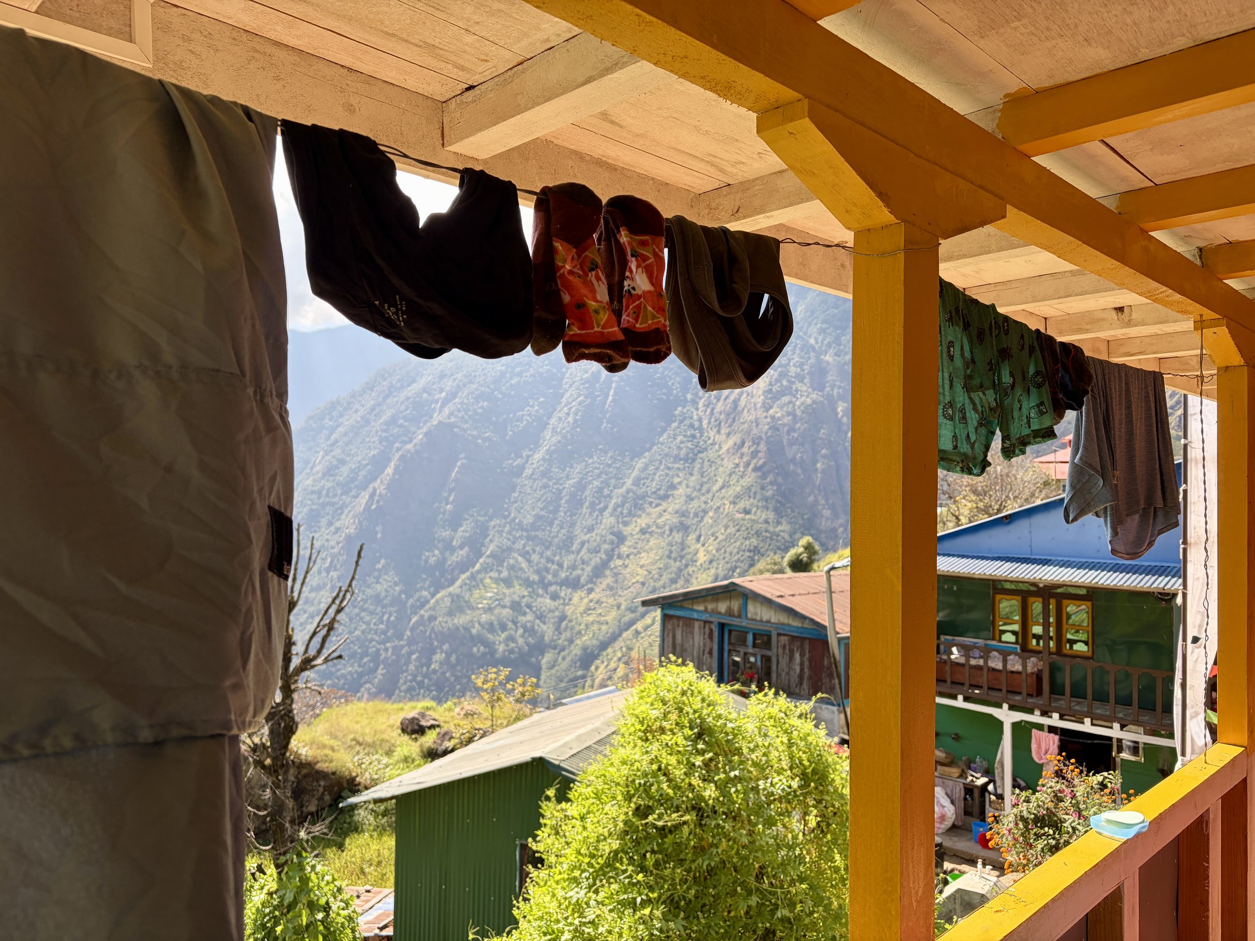
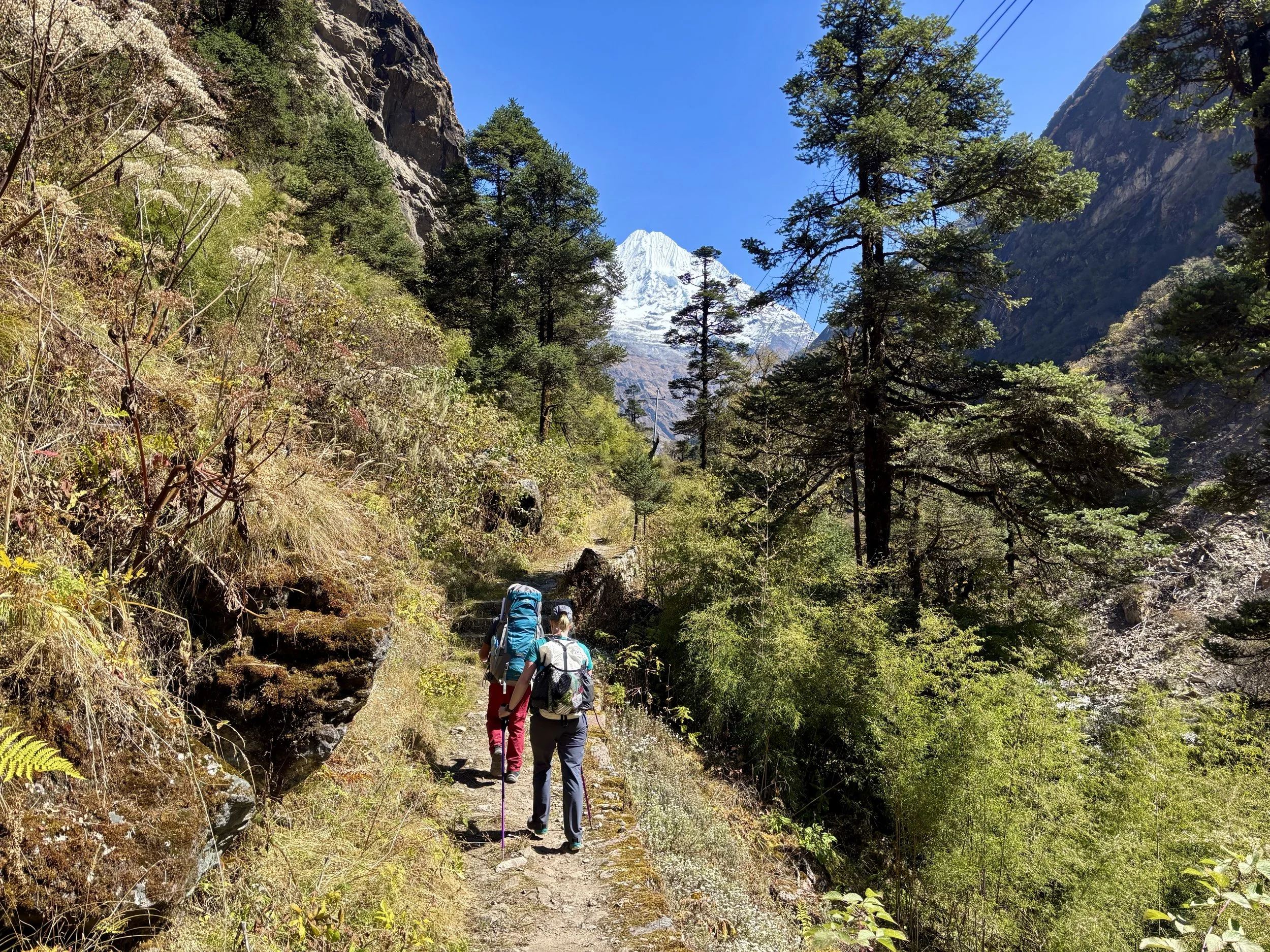
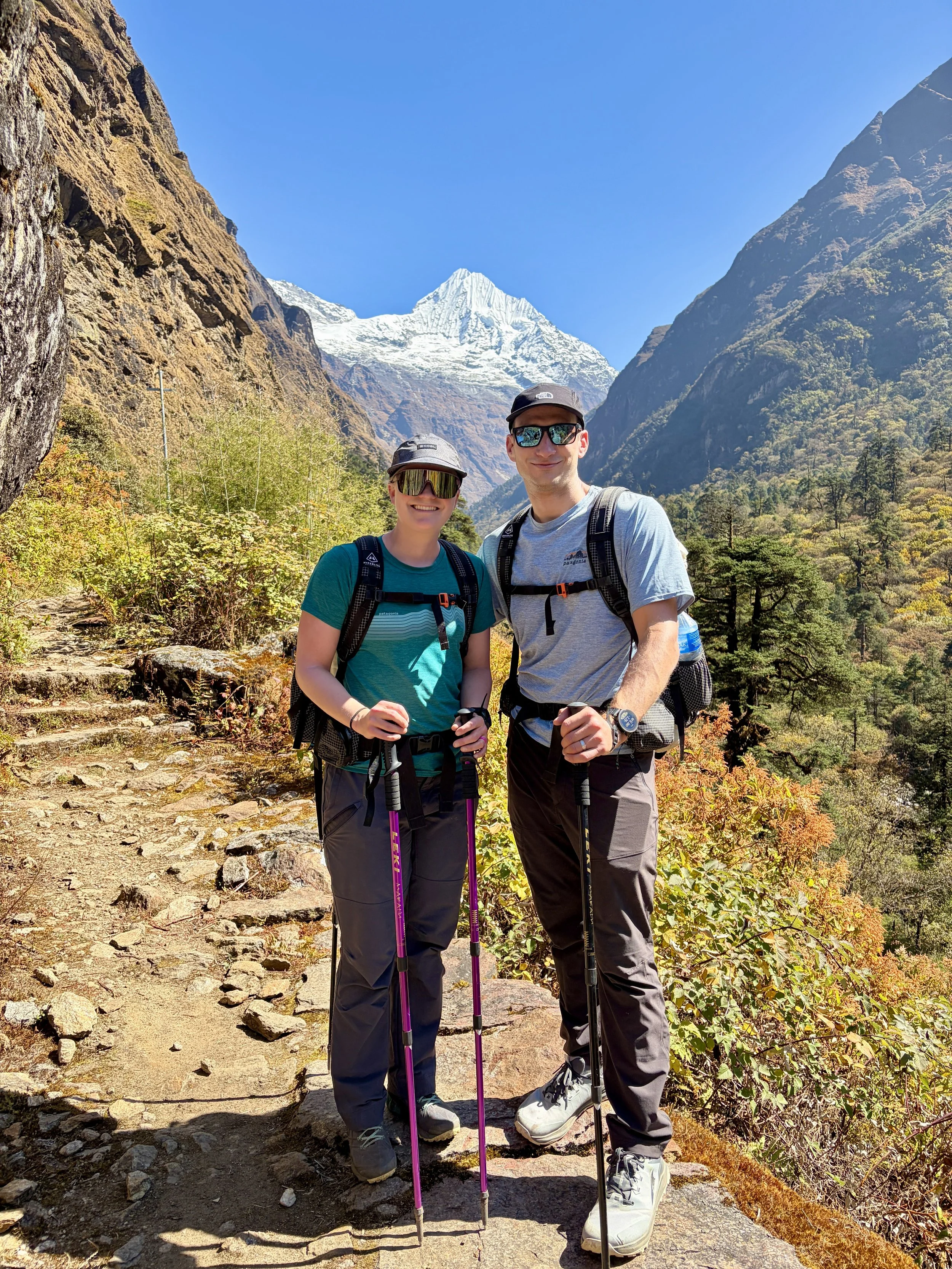
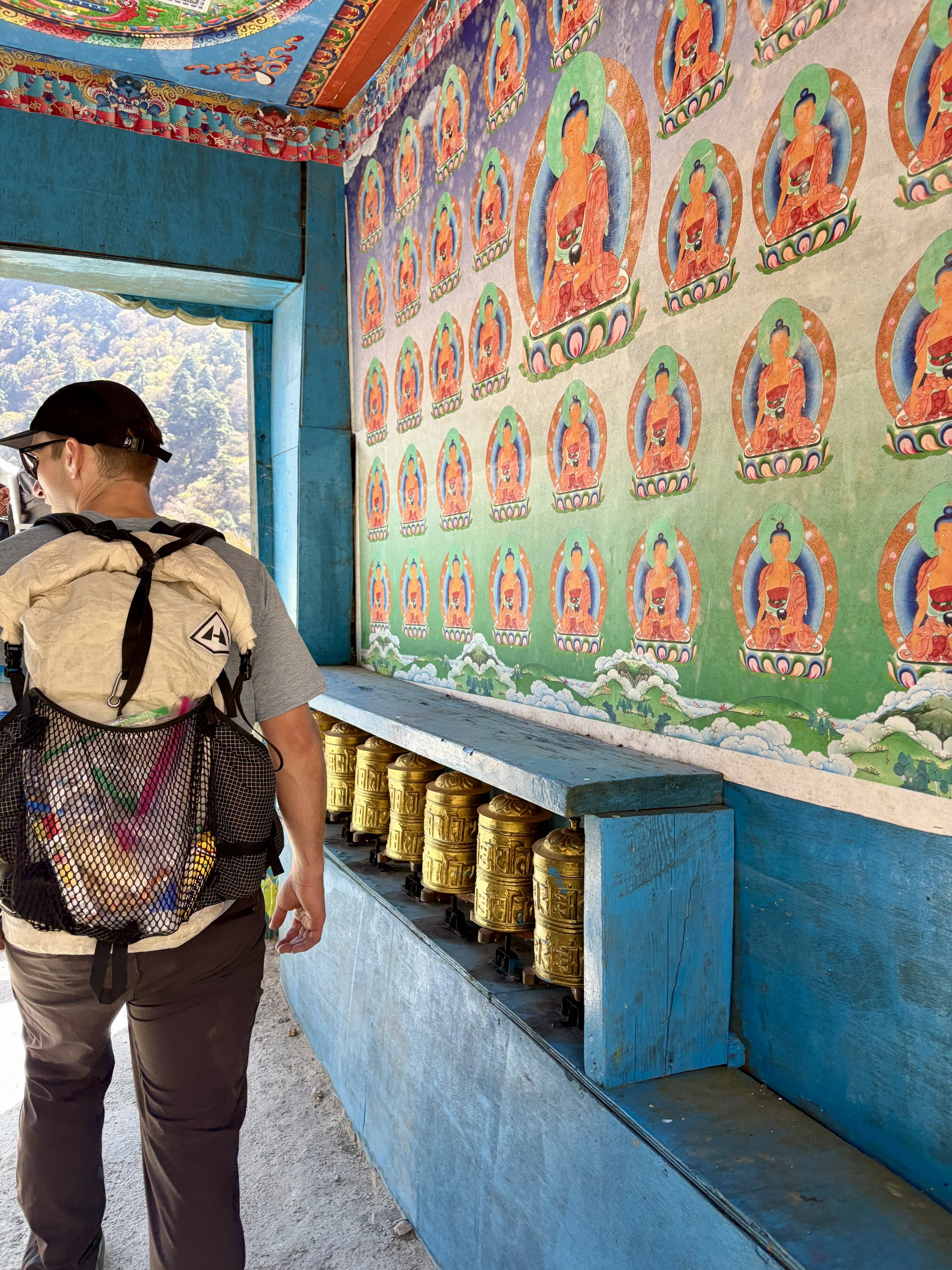
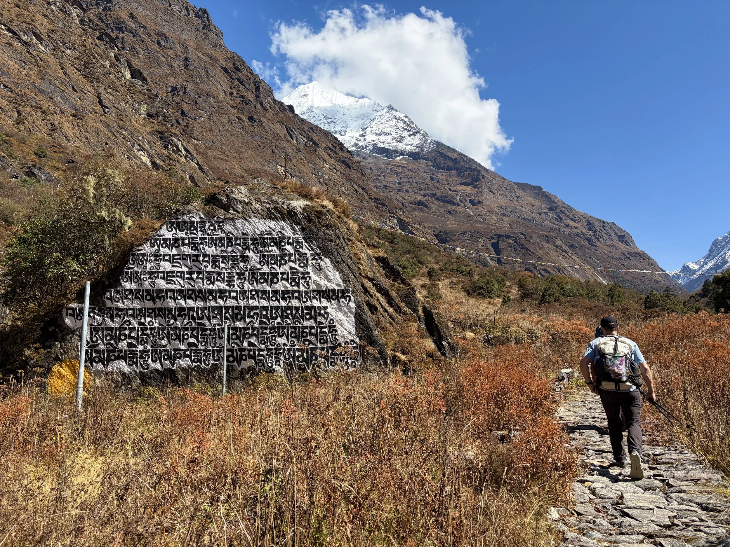
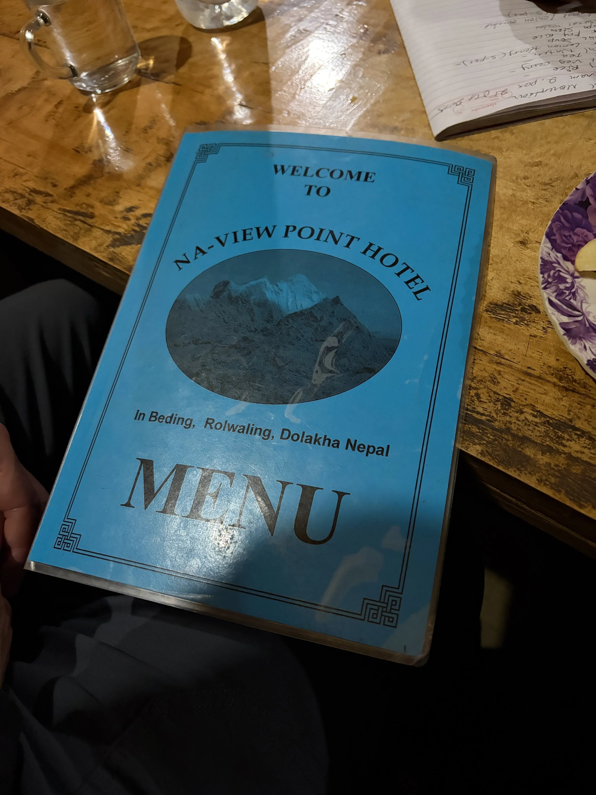
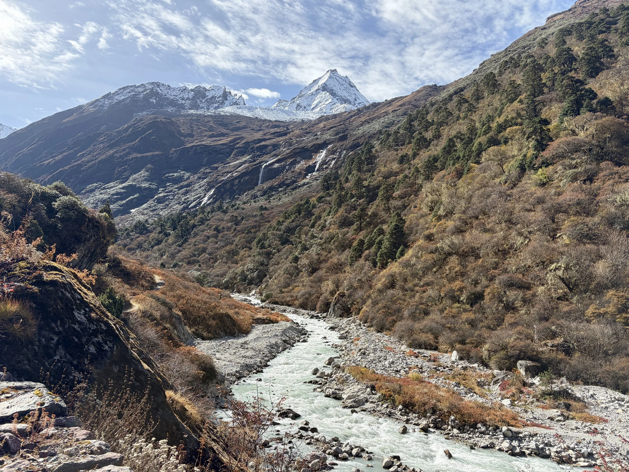
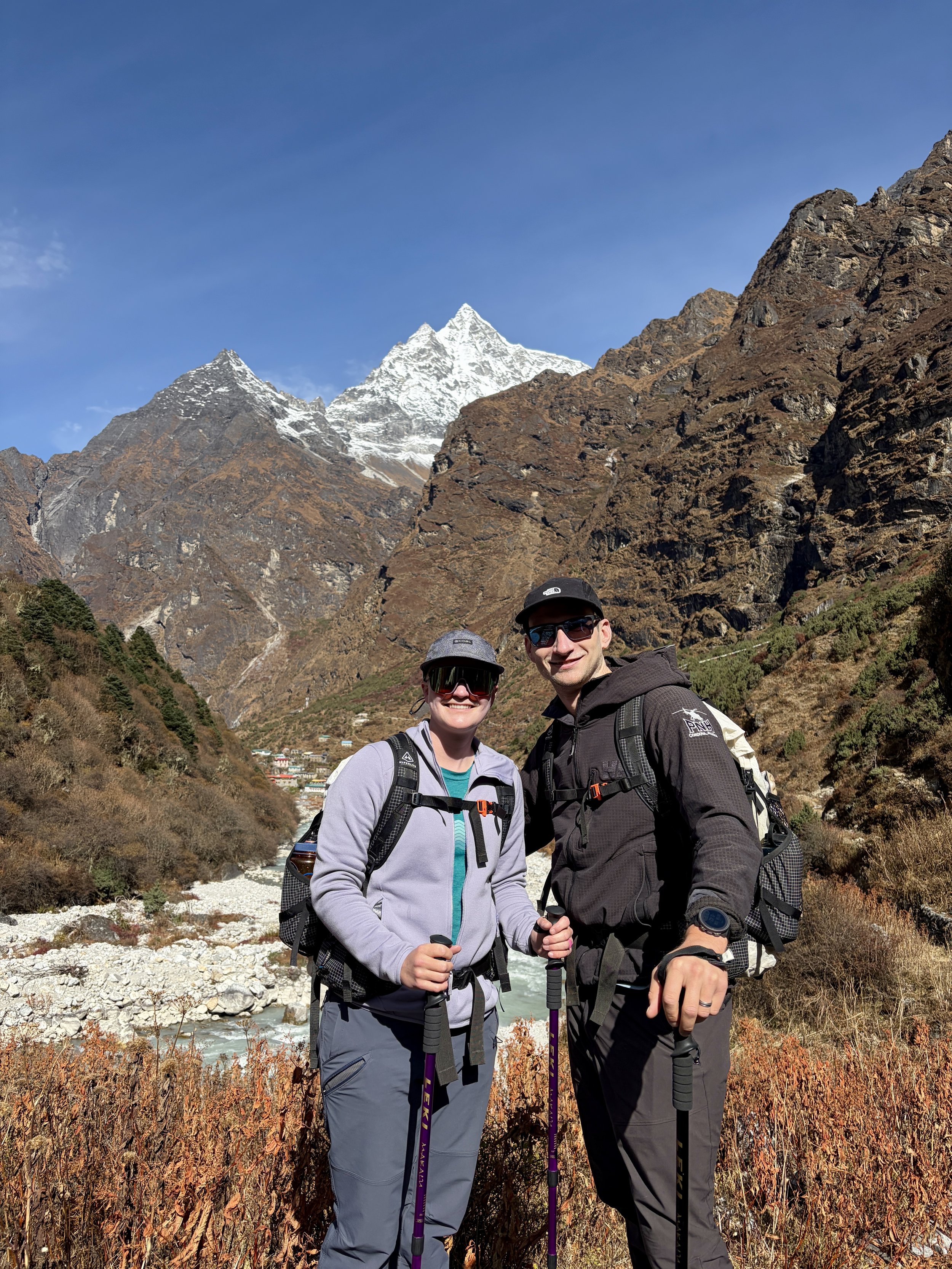
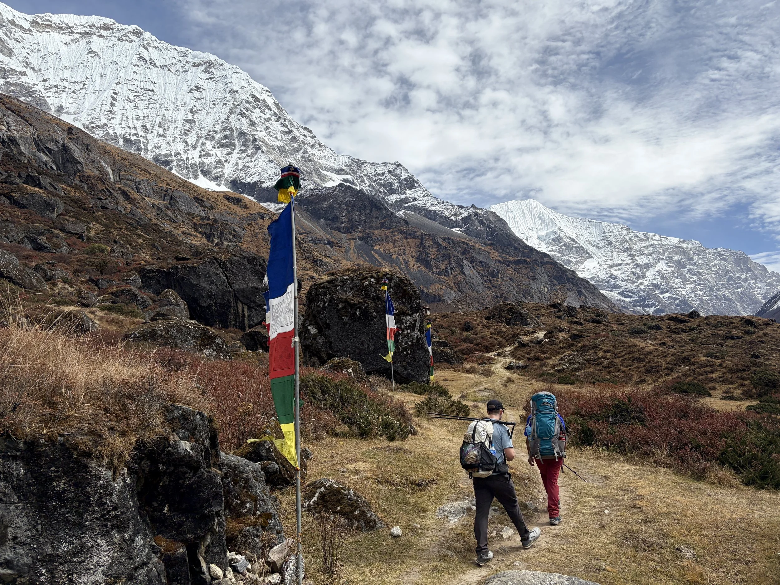
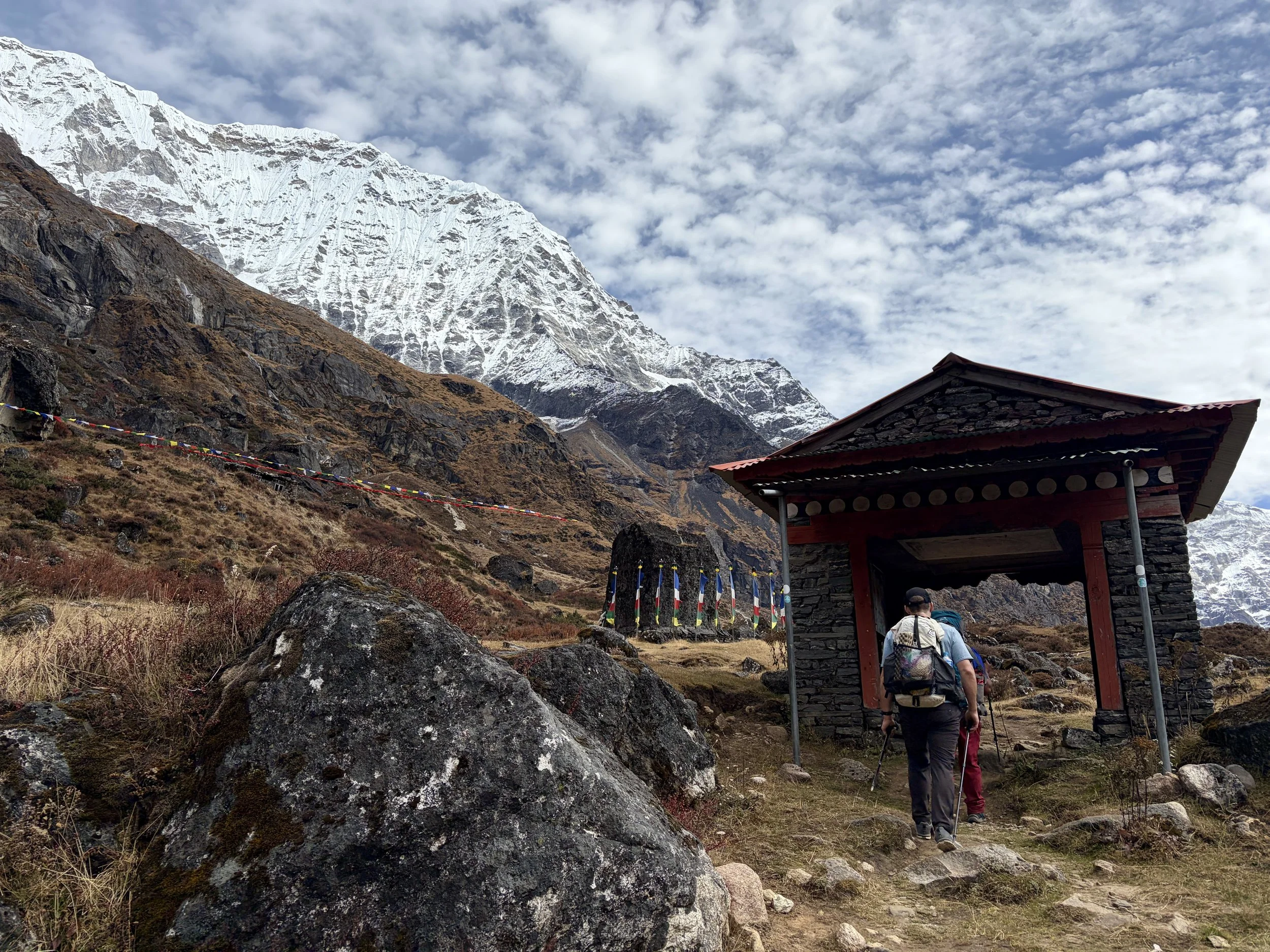
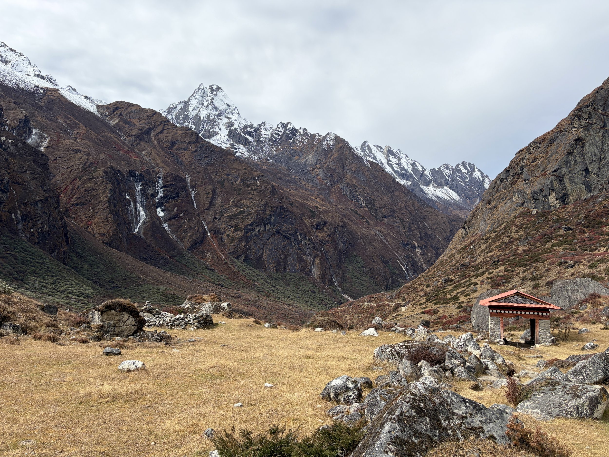
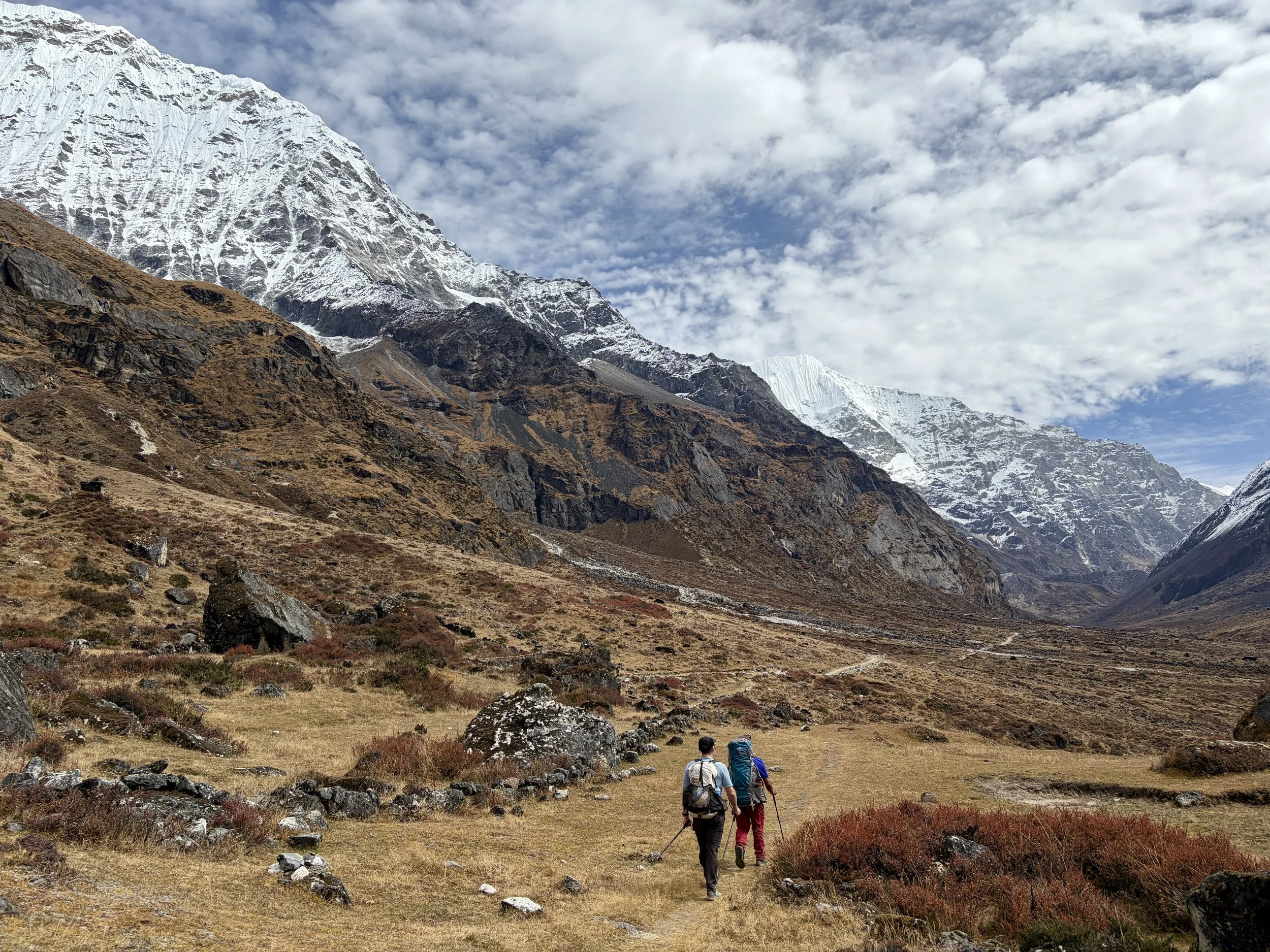
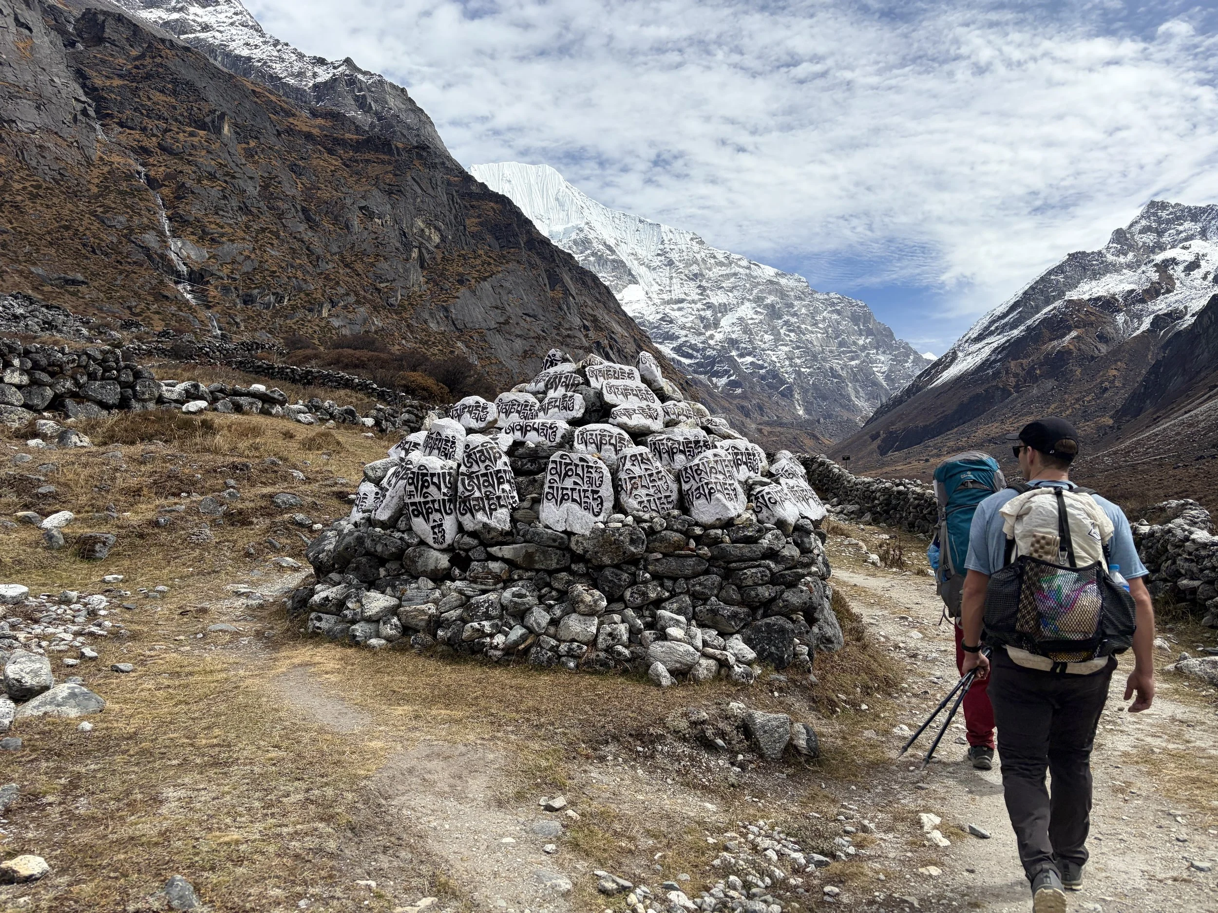
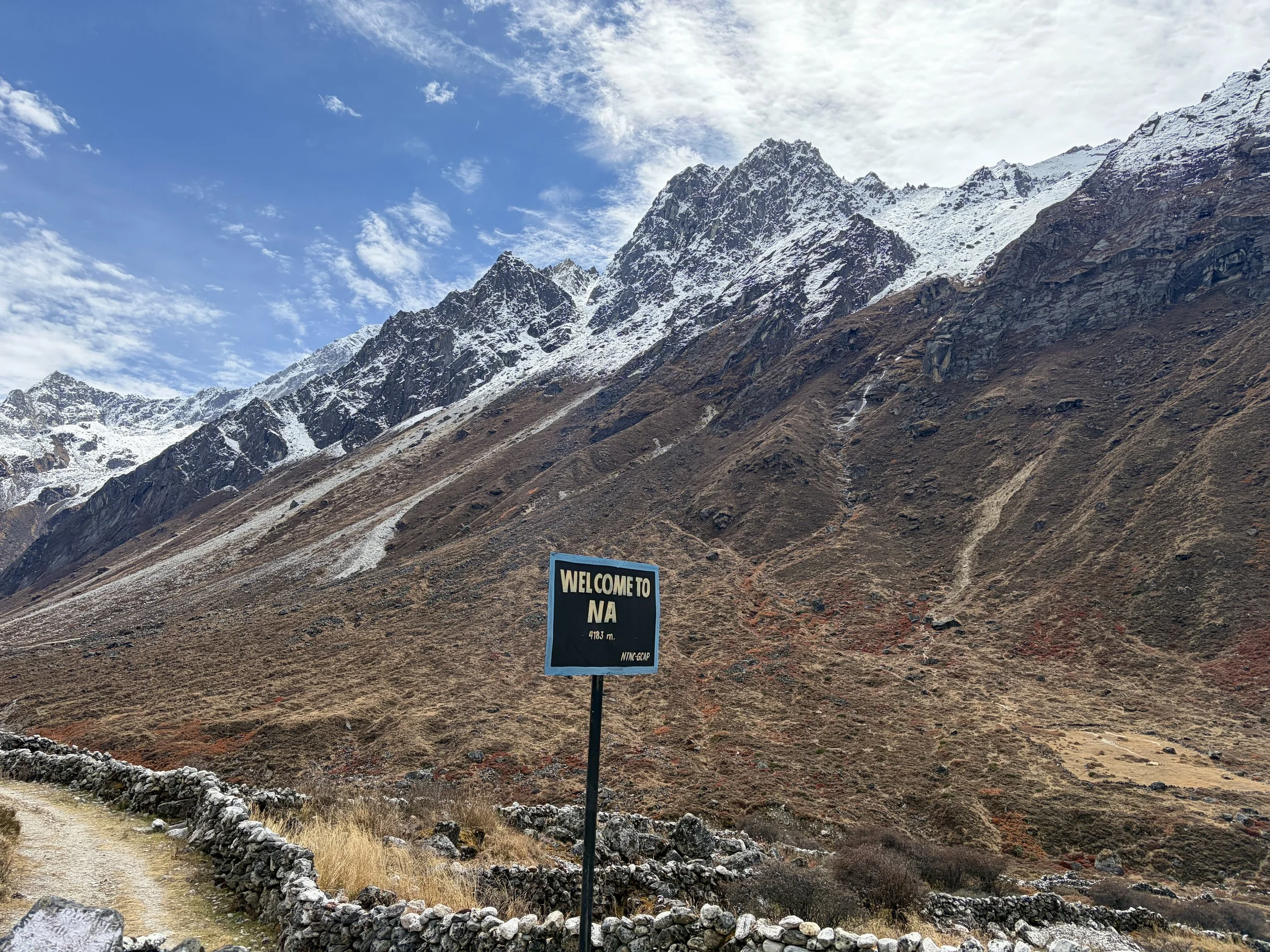
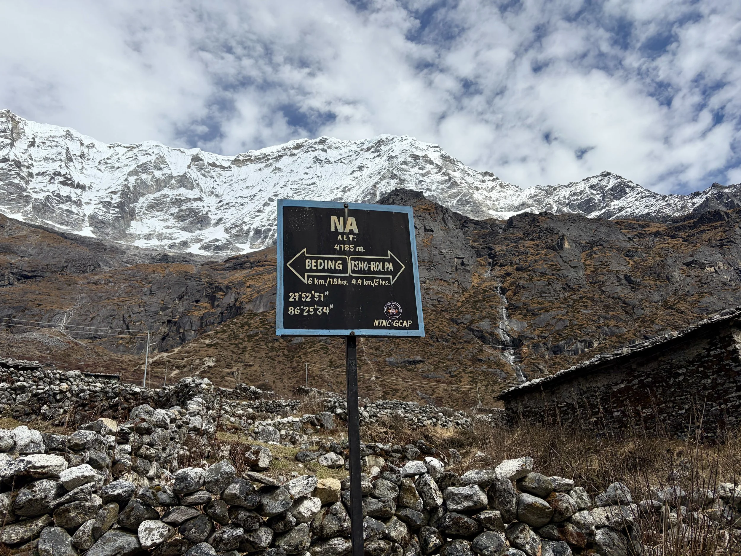
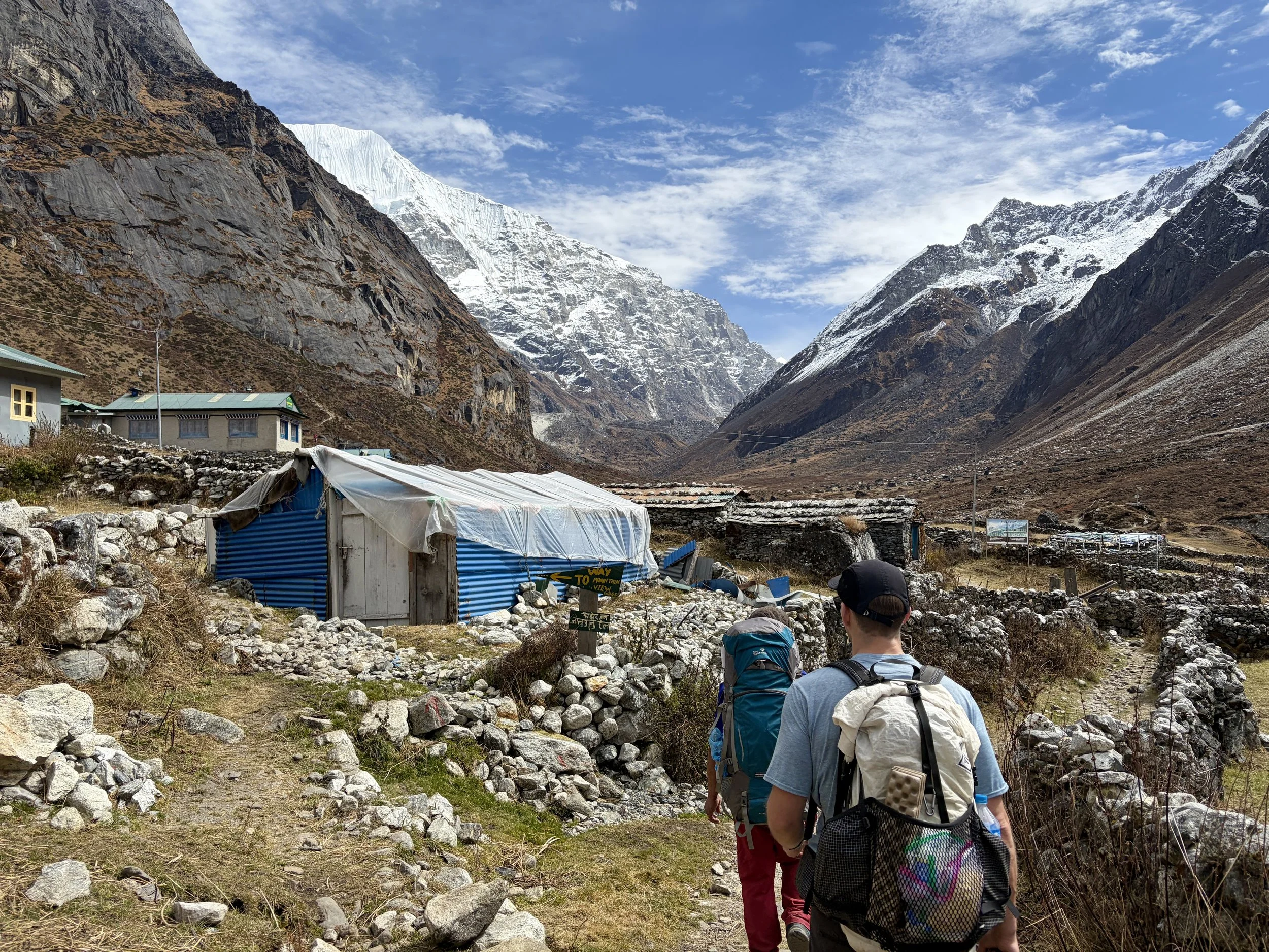
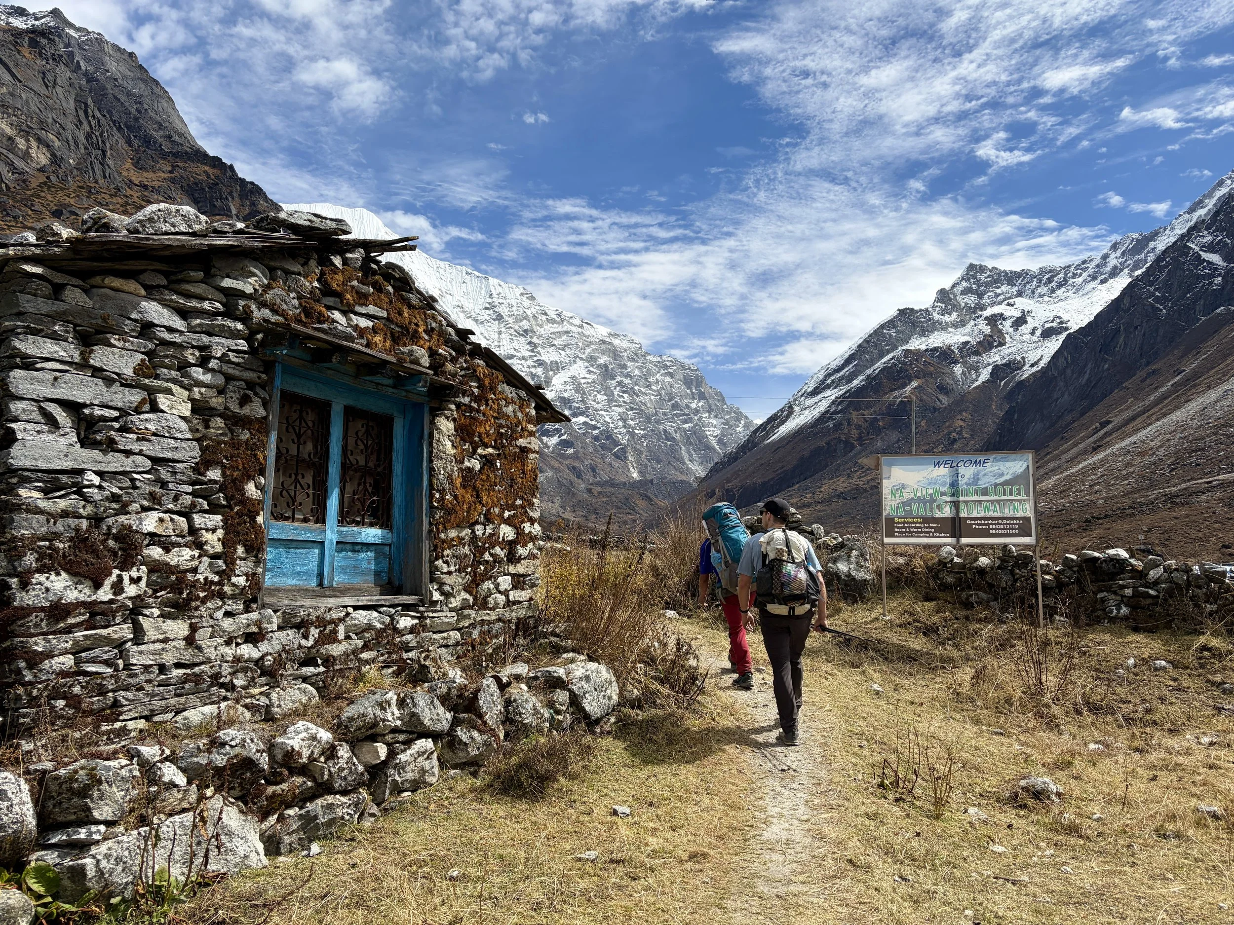
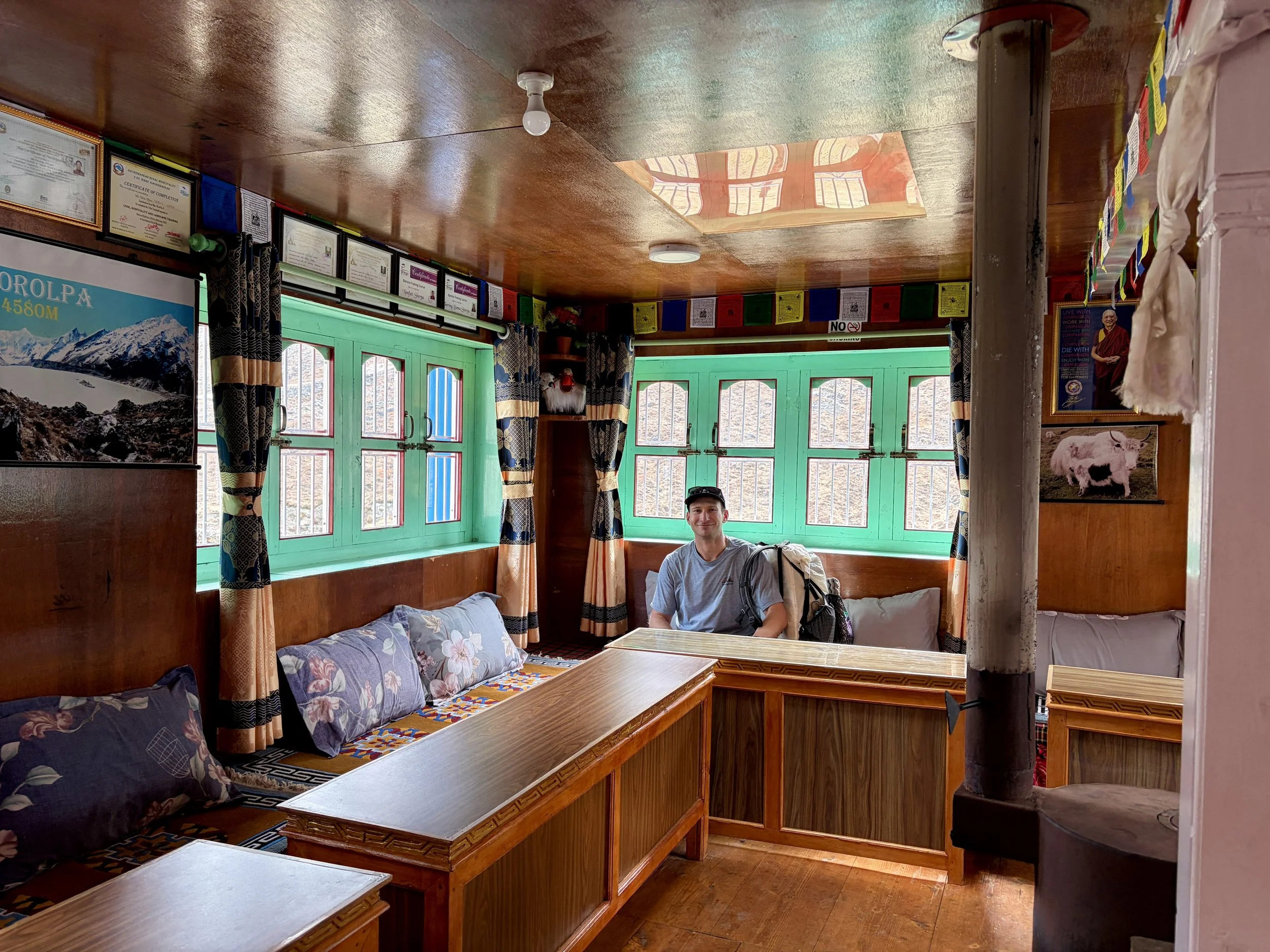
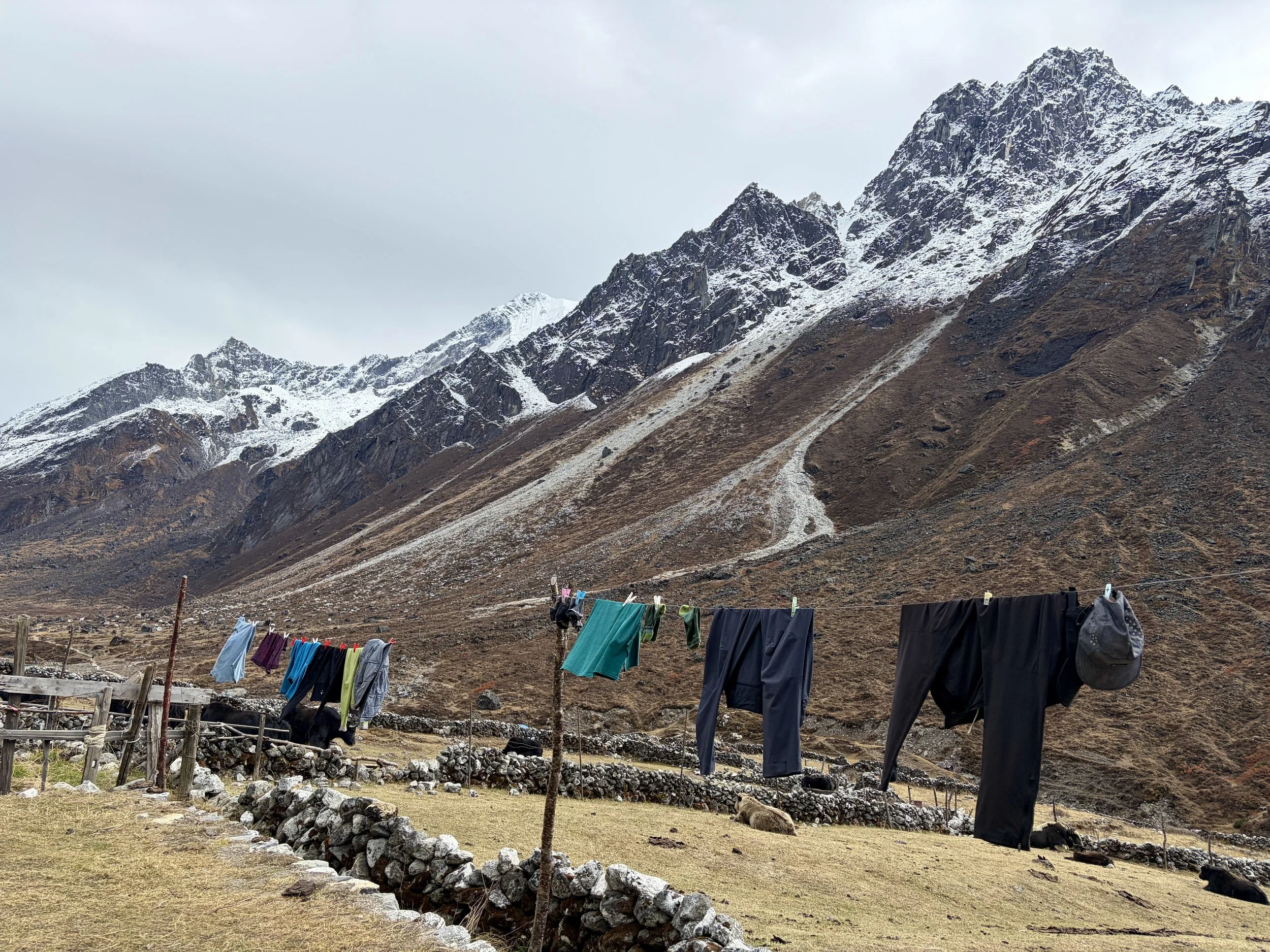
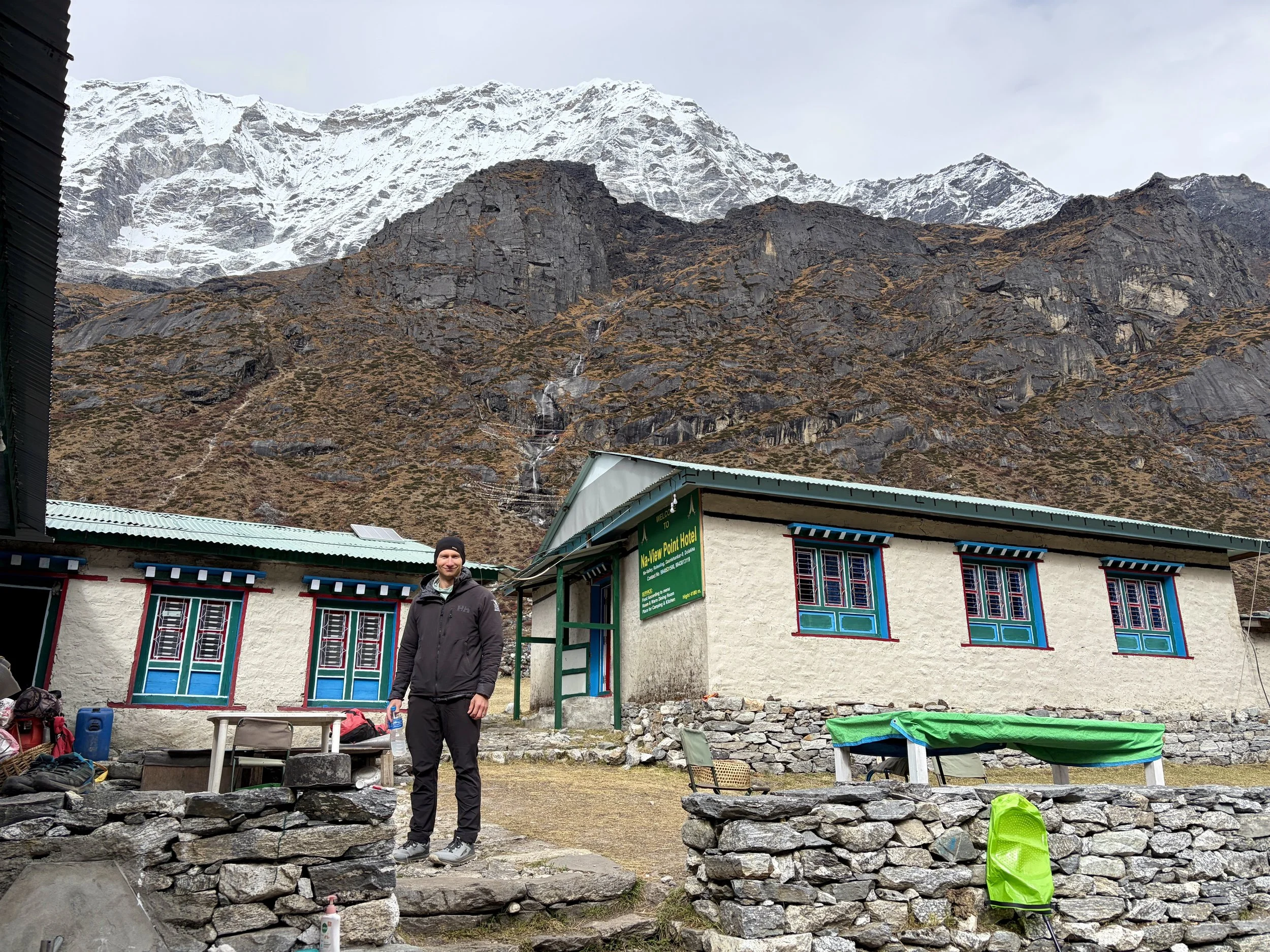
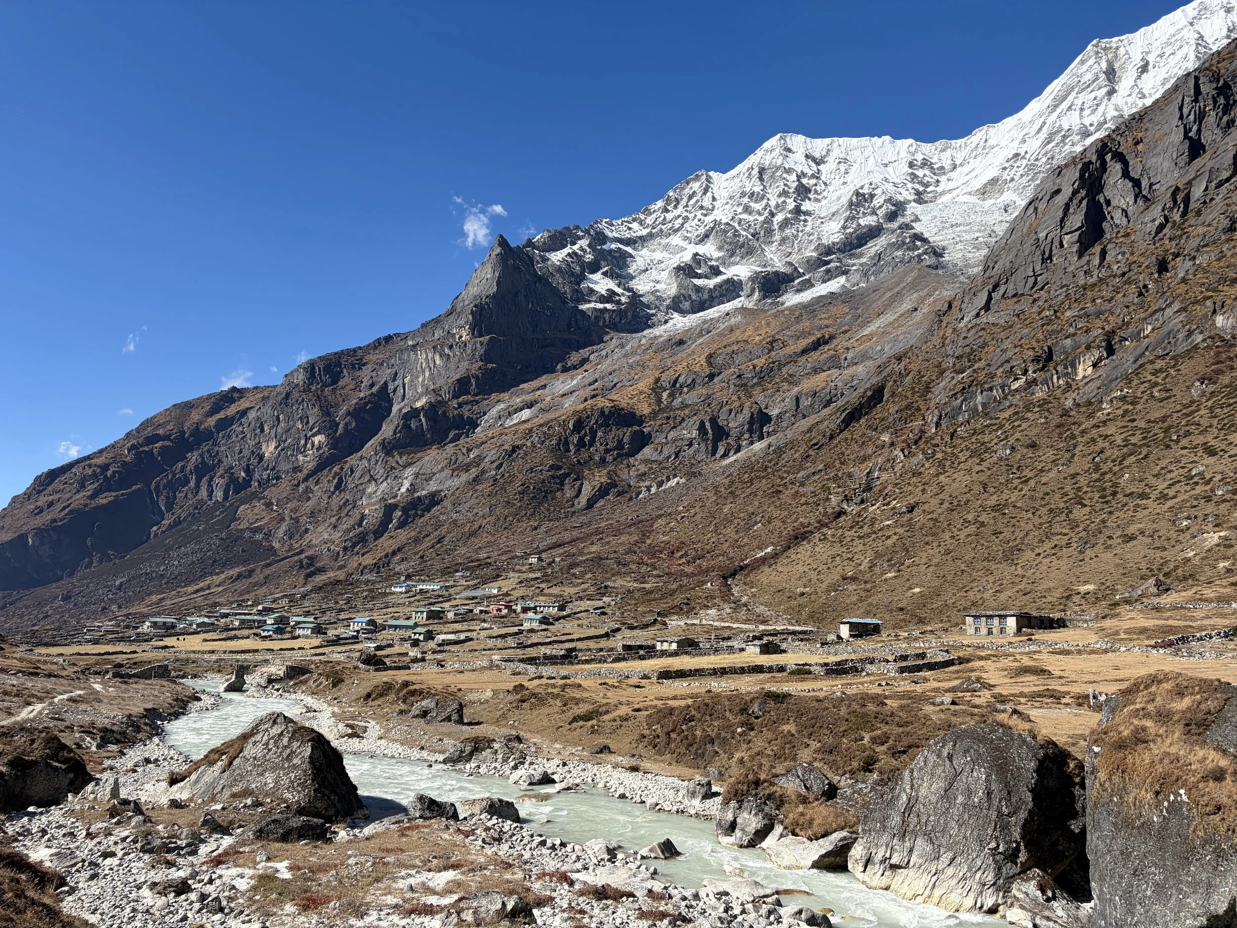
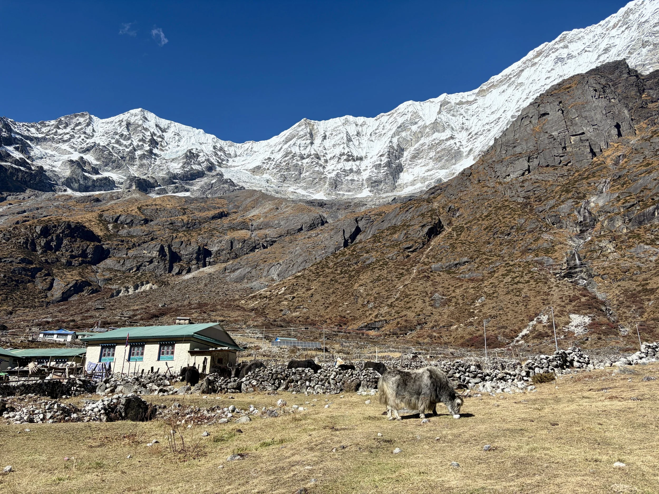
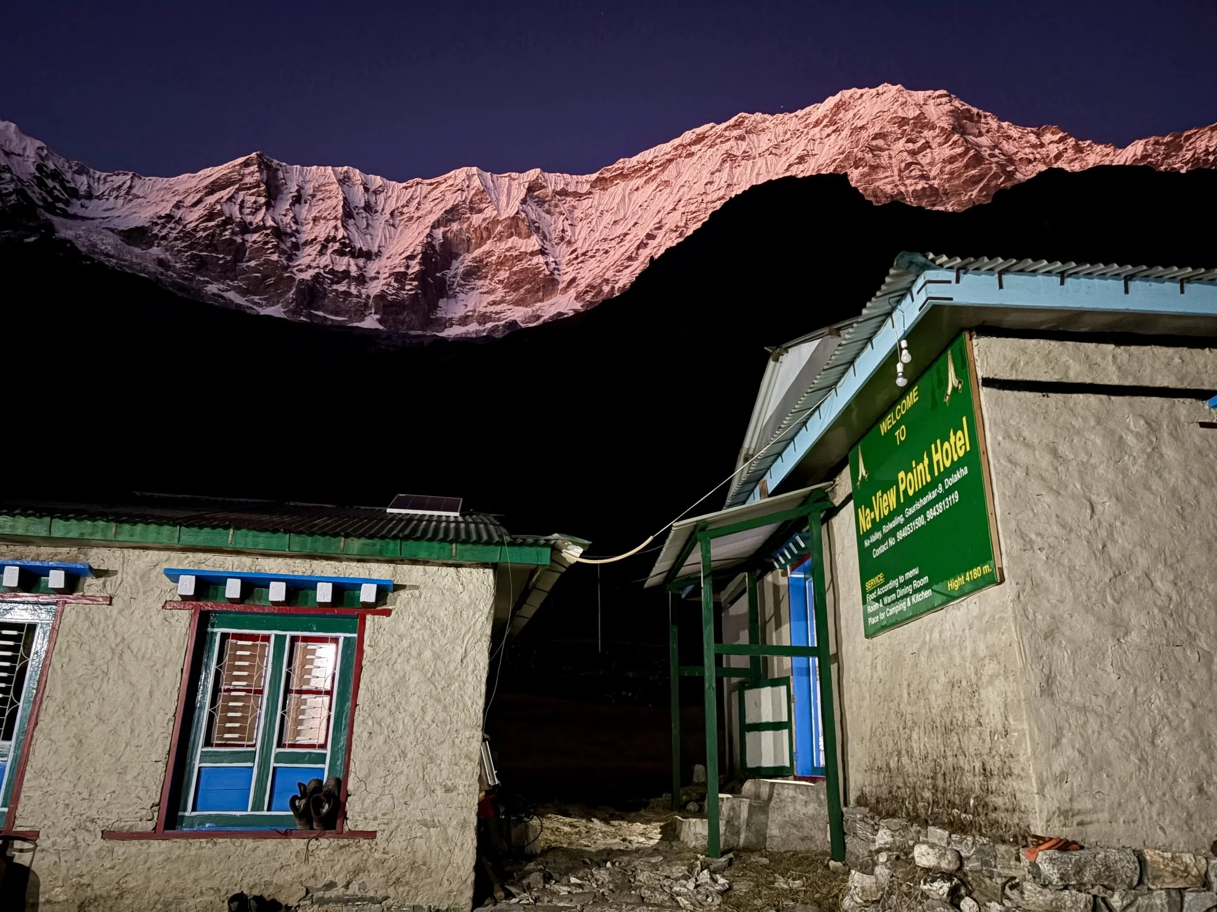
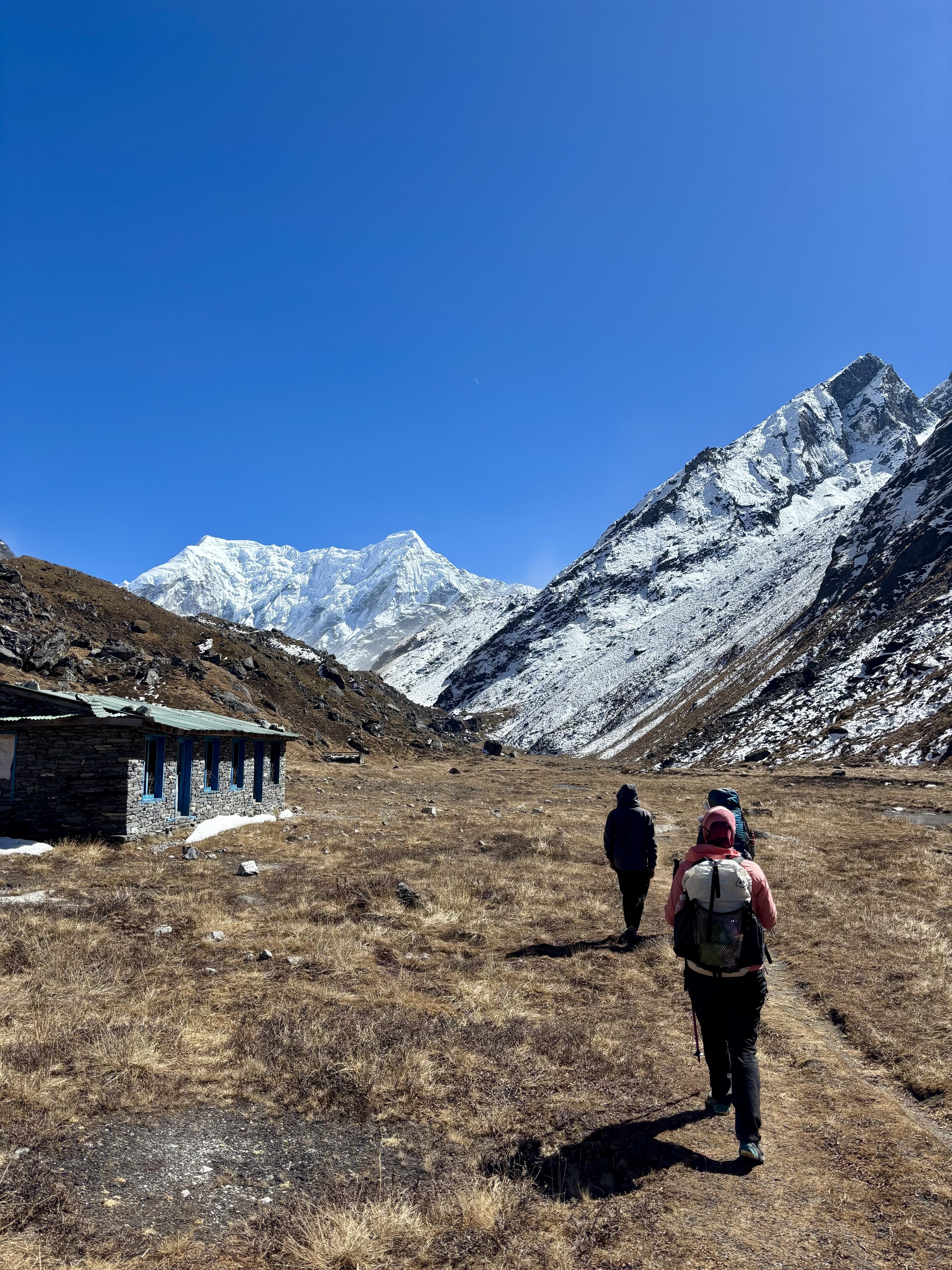
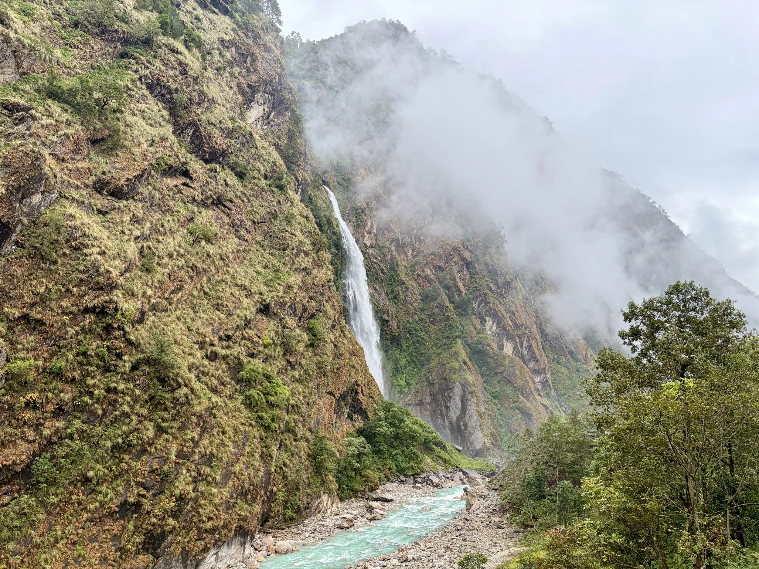
After two full days of trekking, today was going to be much shorter so we all slept in an extra hour and had breakfast at 8am. An hour later we were on the trail, continuing to head up valley along the Rolwaling Kosi. Beautiful views of the mountains surrounded us for the entire day. If you looked back at any point, you’d have fantastic views of Gaurishankar. We were also finally able to see the summits of the peaks on the south side of the drainage and admired them as waterfalls cascaded off of them for thousands of feet down into the river. We only saw locals walking the trail this day. My favorite part of the day was seeing all of the prayer flags that led up to a monastery just to the west of Na with a beautiful mountain, Chekigo, in the background. As we entered Na, we stayed in the teahouse that was run by the same folks that ran the teahouse we stayed in Beding. It even had the same name in both locations: Na-View Point Hotel. We arrived at lunch time so we sat down and had some hot lemon water as we ordered some garlic soup and chow mein for lunch. After lunch we did some outdoor laundry and then relaxed for the rest of the day. The temperature had gotten noticeably colder each day of the trek, but in Na, it was really starting to feel cold. The snow line was only a couple hundred feet above the town. We were happy to have -40 degree sleeping bags with us to keep us warm!
Stats: 4.13 miles, +2005 ft of elevation gain, -420 ft of elevation loss


Day 6: Rest day in Na
Day 7: Na to Yalung Ri Basecamp
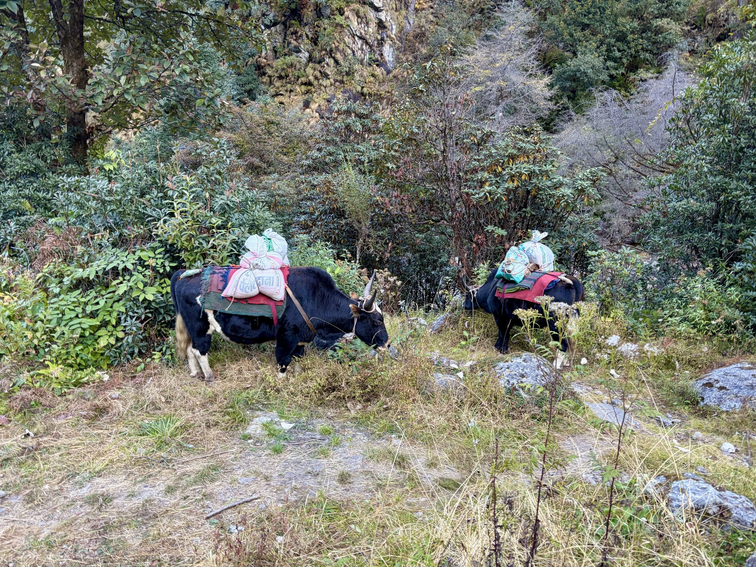
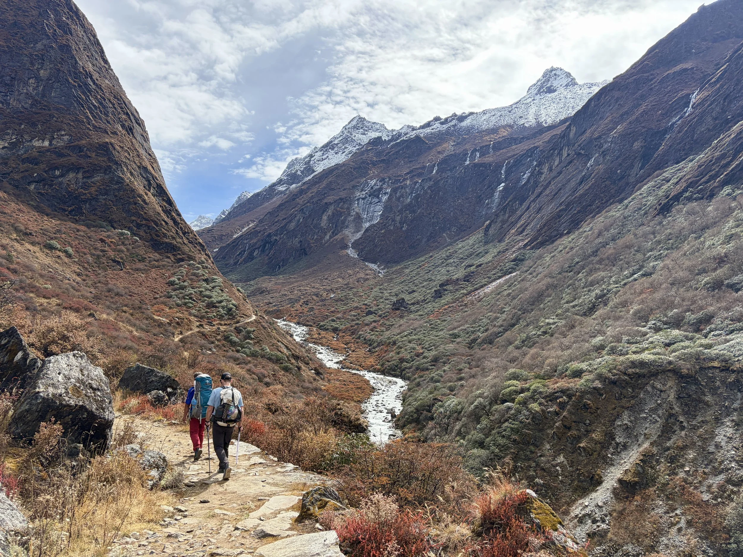
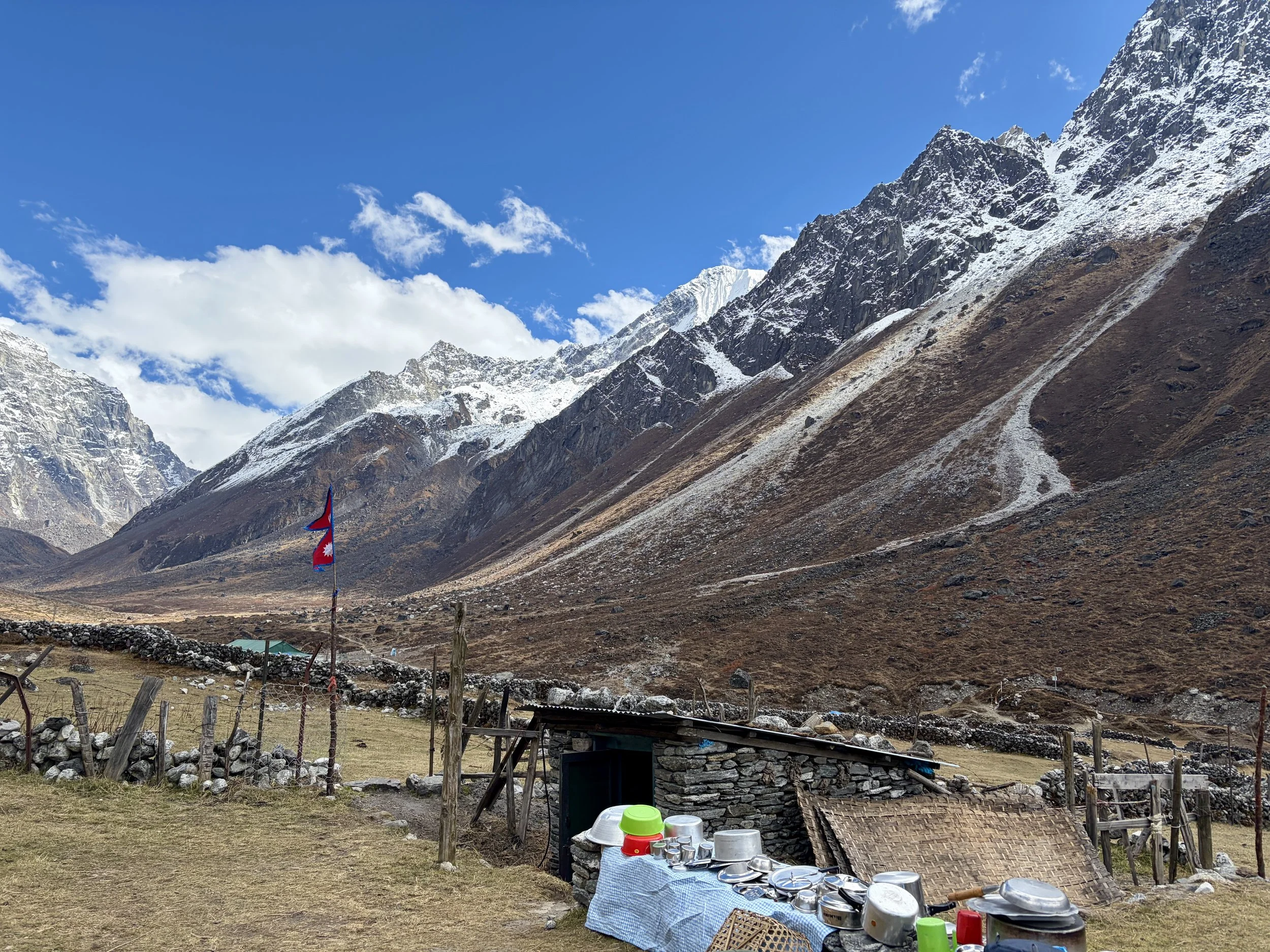
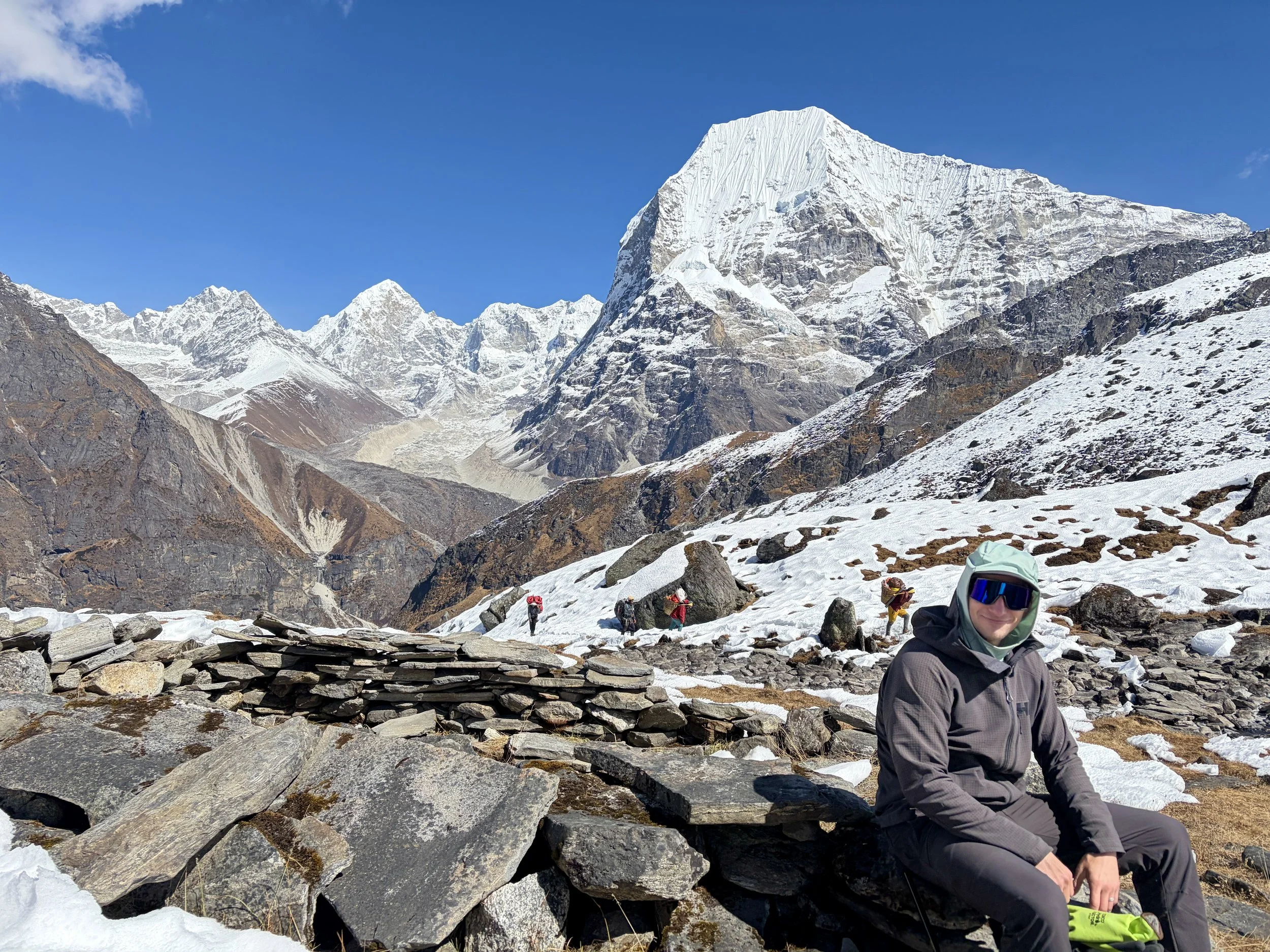
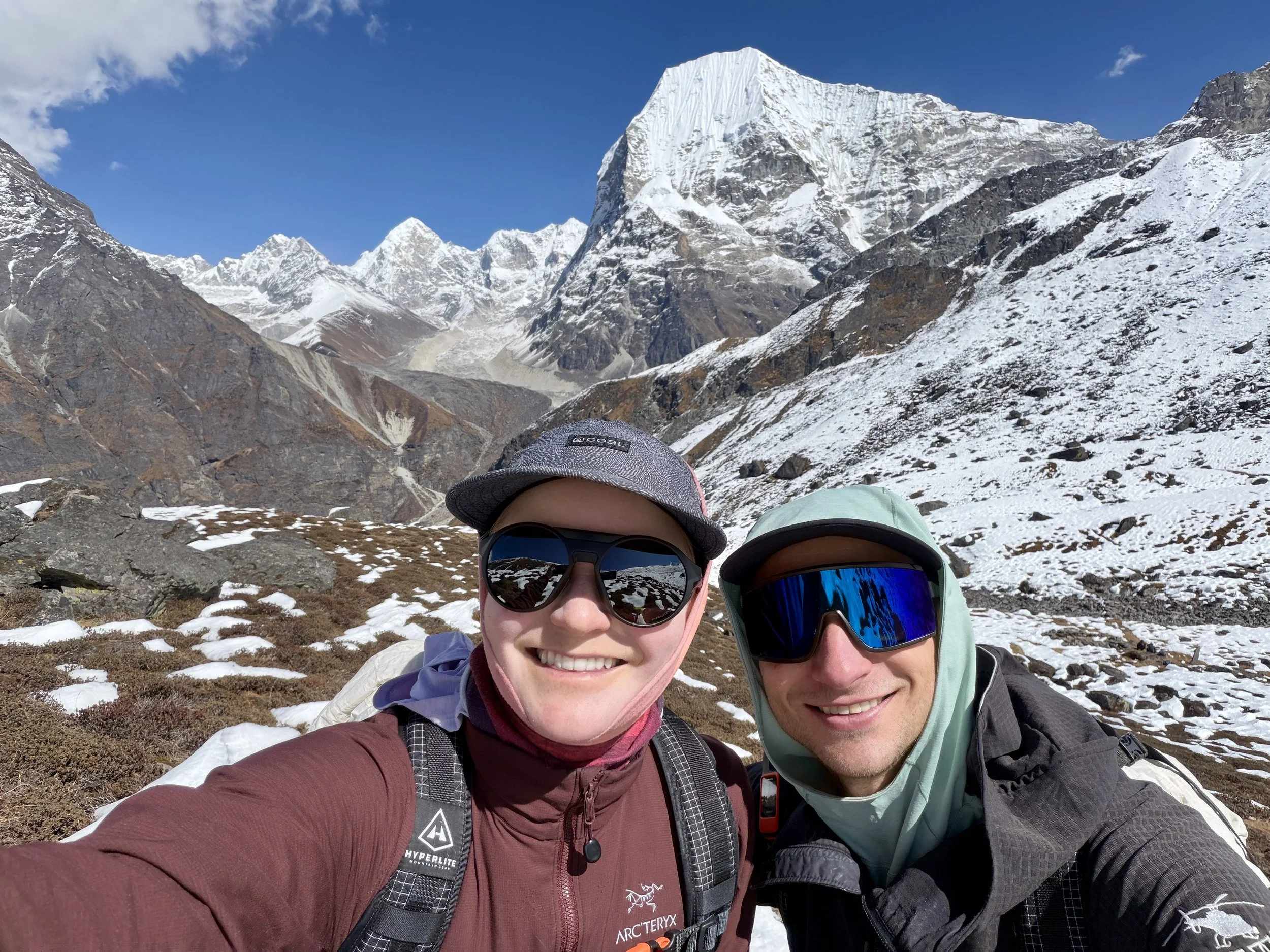
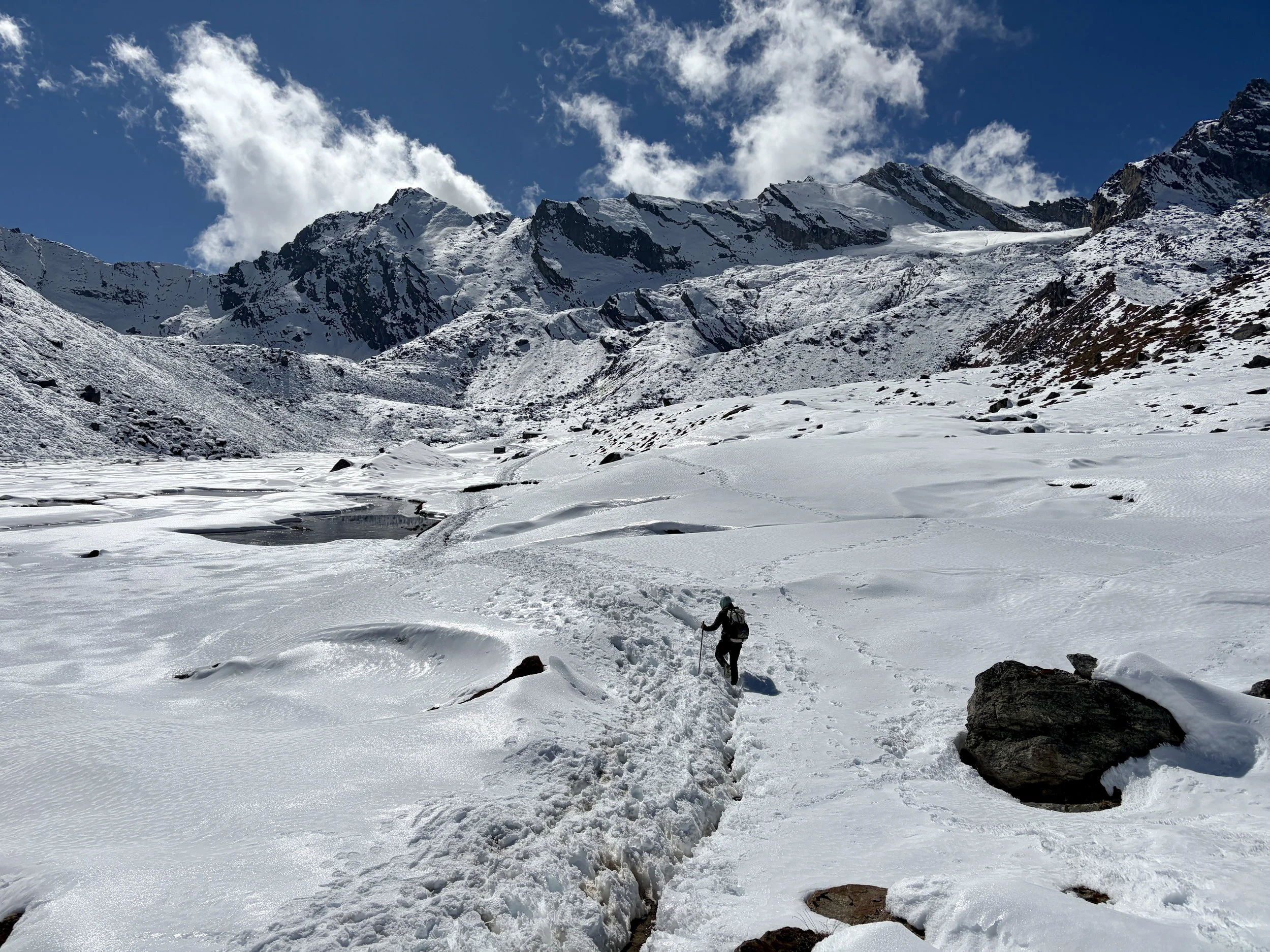
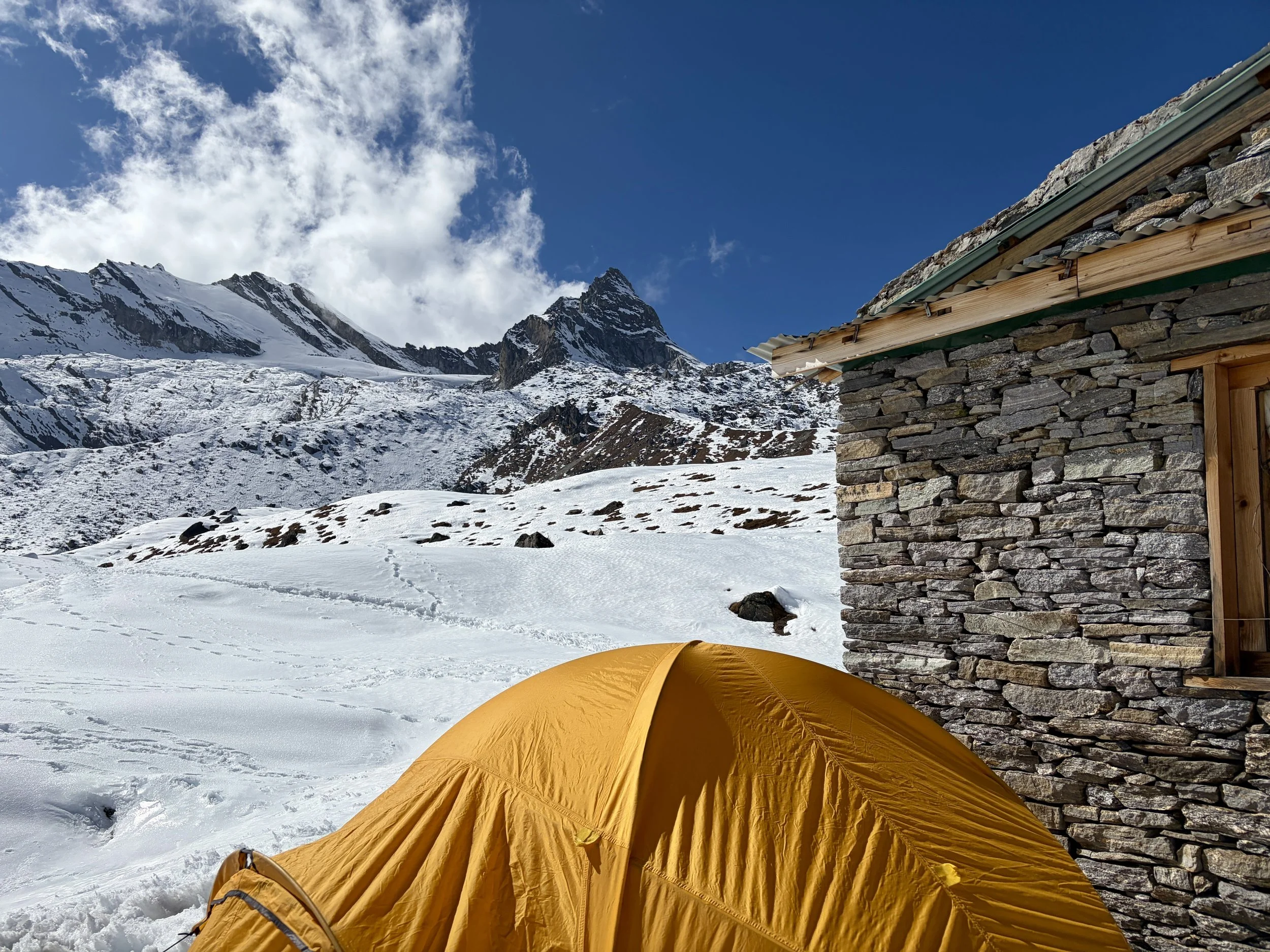
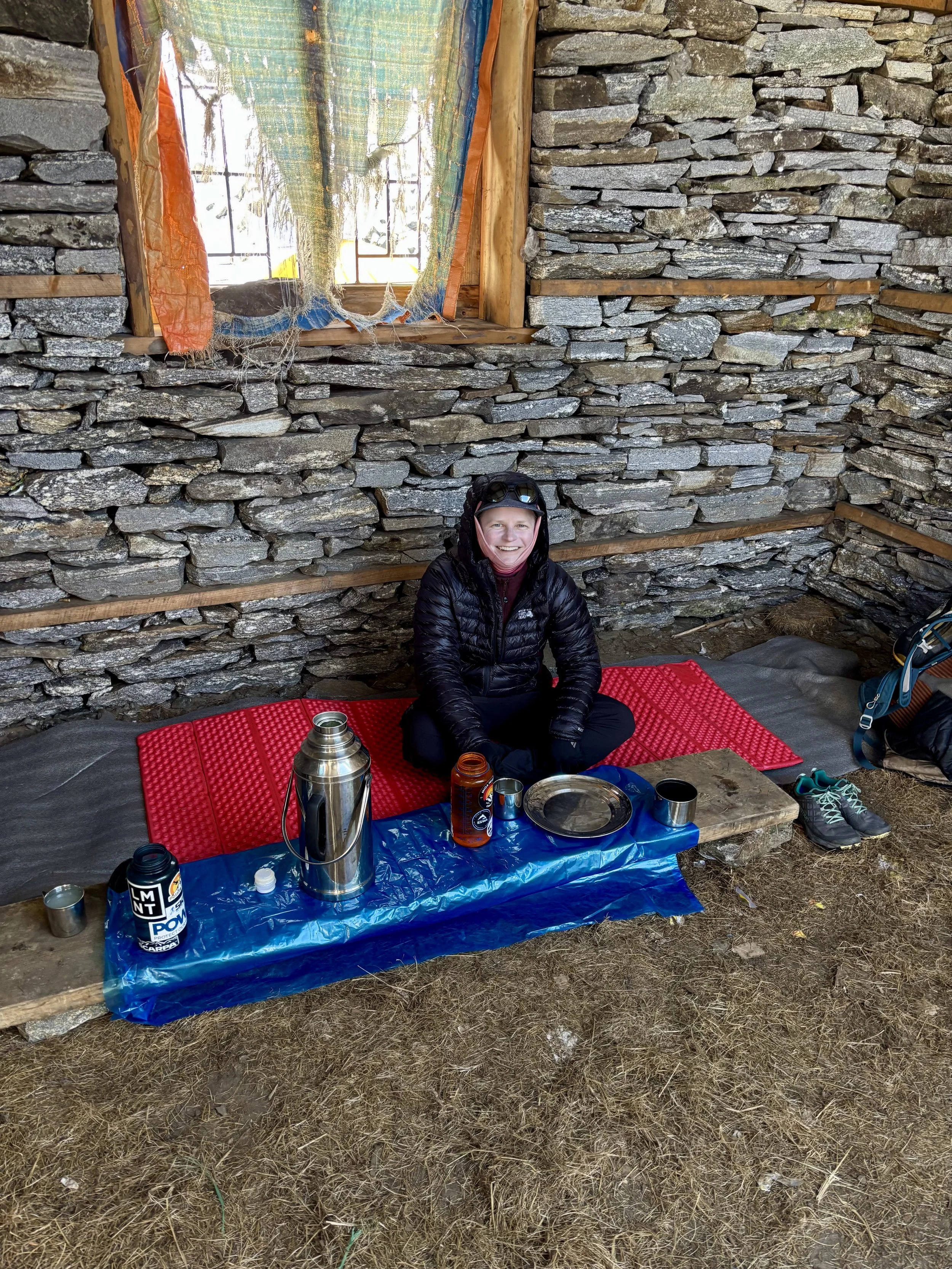
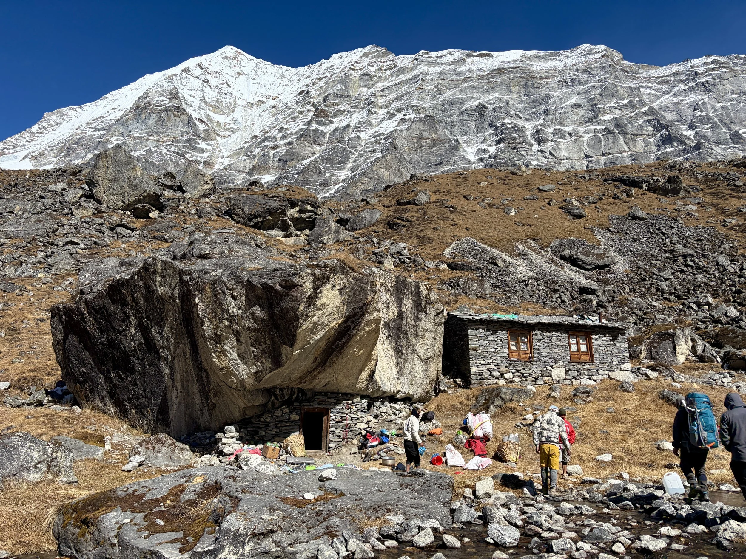
After a nice day off to rest, we were ready to begin the trek up to basecamp for Yalung Ri. We headed out from the teahouse and continued heading up the Rolwaling Valley. After 10-15 minutes of hiking, we took a trail that cut off to the right and started climbing up a steep trail. This trail had countless switchbacks and quickly gained elevation. After ~1000 feet of elevation gain, we hit snow line and found ourselves walking on a trail that was half melted and half frozen steps. It was tricky walking and each step required focus to not slip and fall. I commend the porters for making it up that trail. Eventually the trail flattened out and after a little longer, we found ourselves at a porter hut where some of our porters were waiting for us with our tent already set up. We were welcomed with hot lemon water and settled in to our tent. After a delicious dinner from our cook, we headed to bed early with a 2:45am alarm set for the next day.
Stats: 3.04 miles, +2800 ft of elevation gain, -157 ft of elevation loss

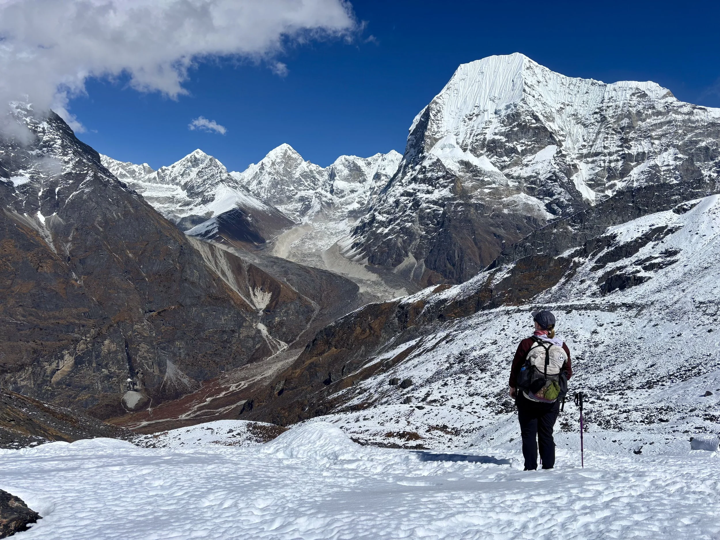


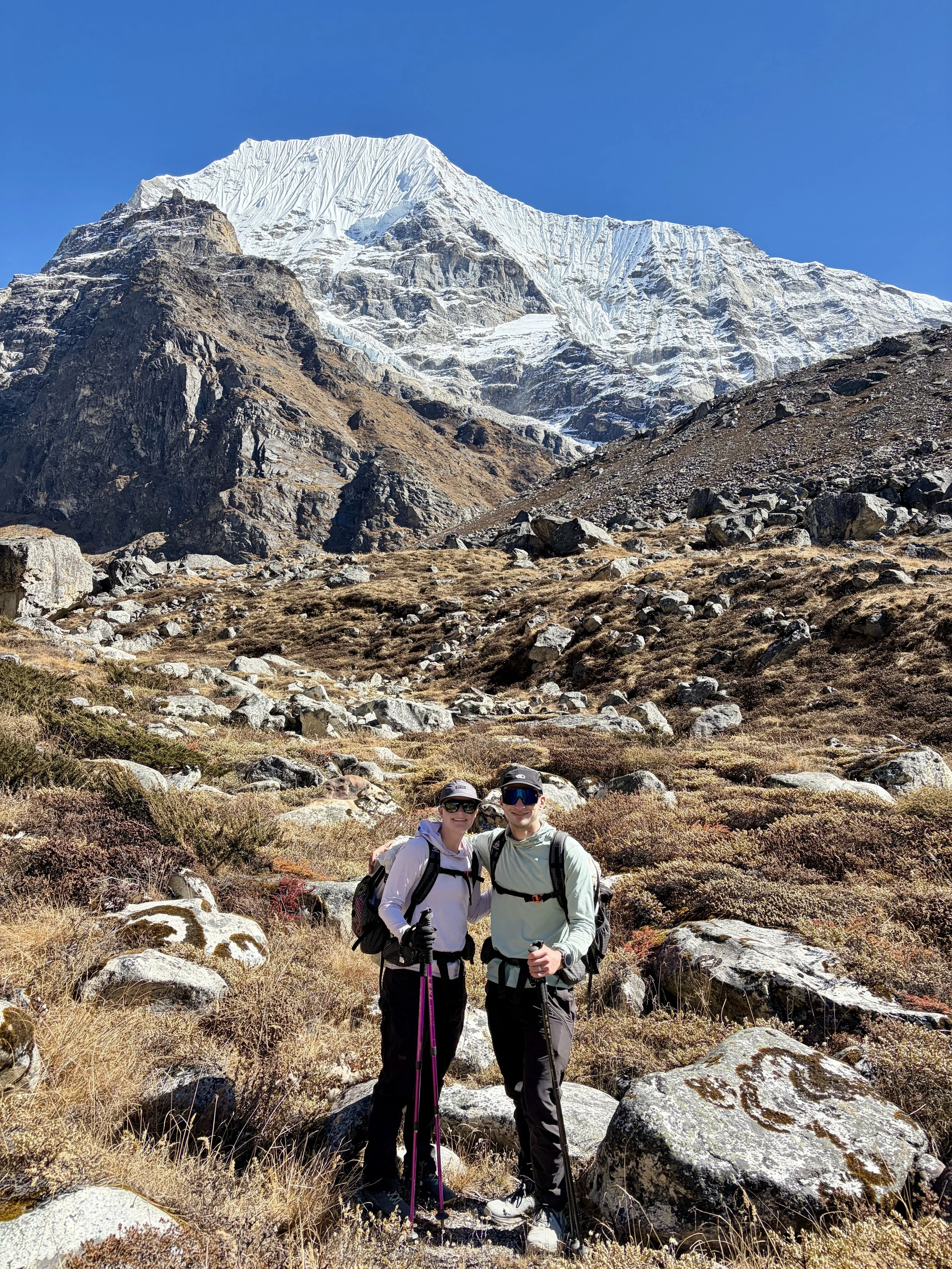
Day 8: Yalung Ri basecamp to the summit of Yalung Ri and back to Na
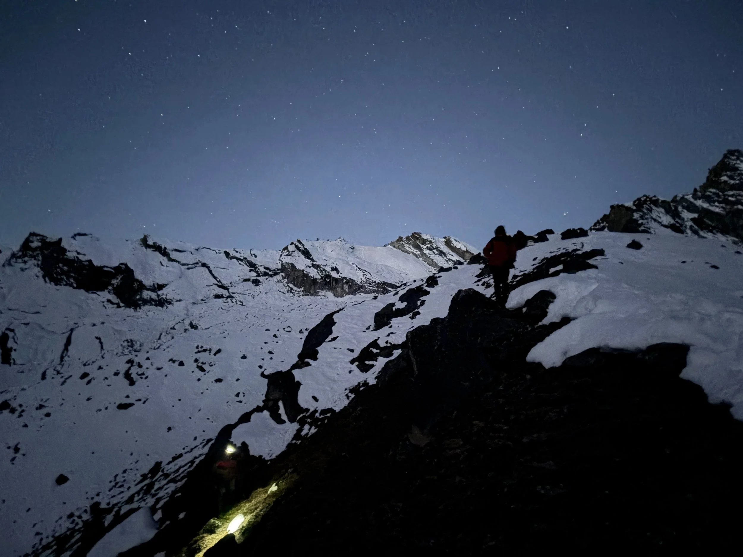
Our alarm went off at 2:45 and the temperature must have been around 0 degrees Fahrenheit, making it very difficult to feel motivated to get up. The first thing I said that morning was that I don’t think I’m going to become a full-time mountaineer. It was the coldest night we’ve spent in a tent and we found frost on everything, and we ourselves were still cold despite wearing multiple layers of down plus a -40 degree sleeping bag. My watch said I got 2 hours and 15 minutes of sleep and my training readiness was a 5 out of 100. But, this is what we signed up for, and we got ourselves ready. Our guide brought us hot tea in the tent at 3:15 which was really nice to drink before getting out of it. We had a quick breakfast of porridge and hot tea, and we were moving before 4:30.
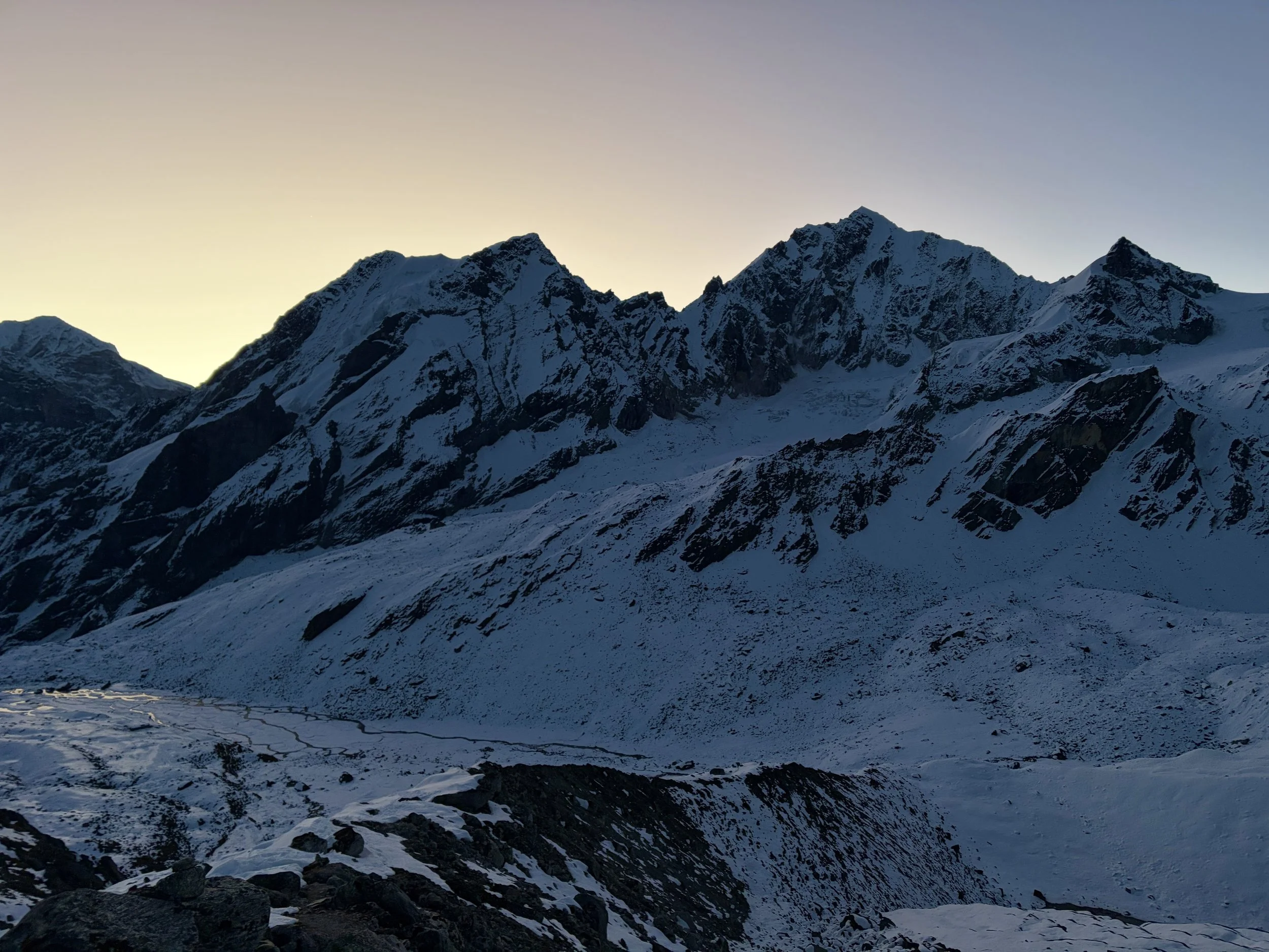
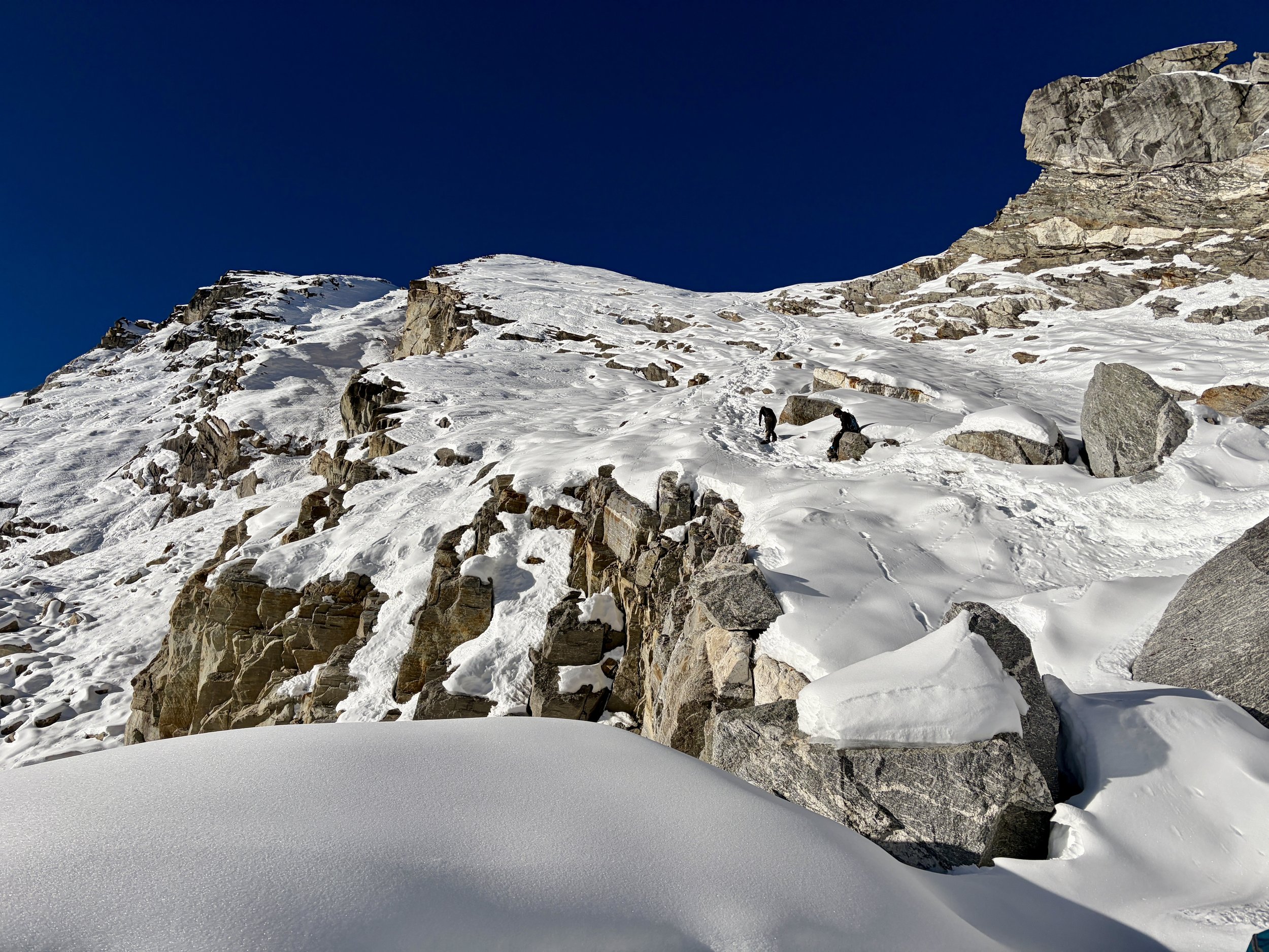
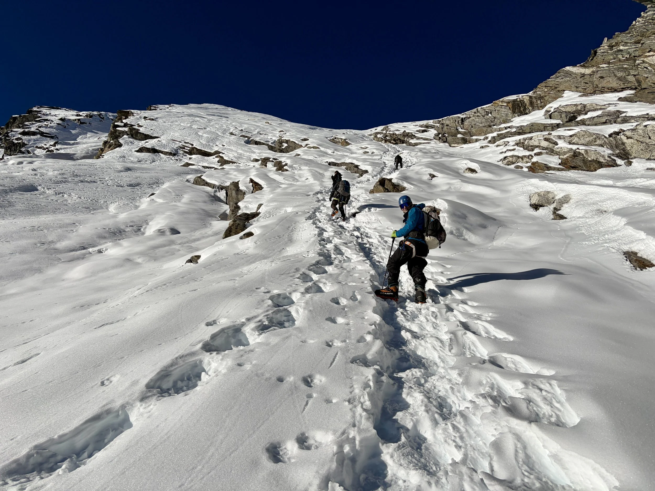
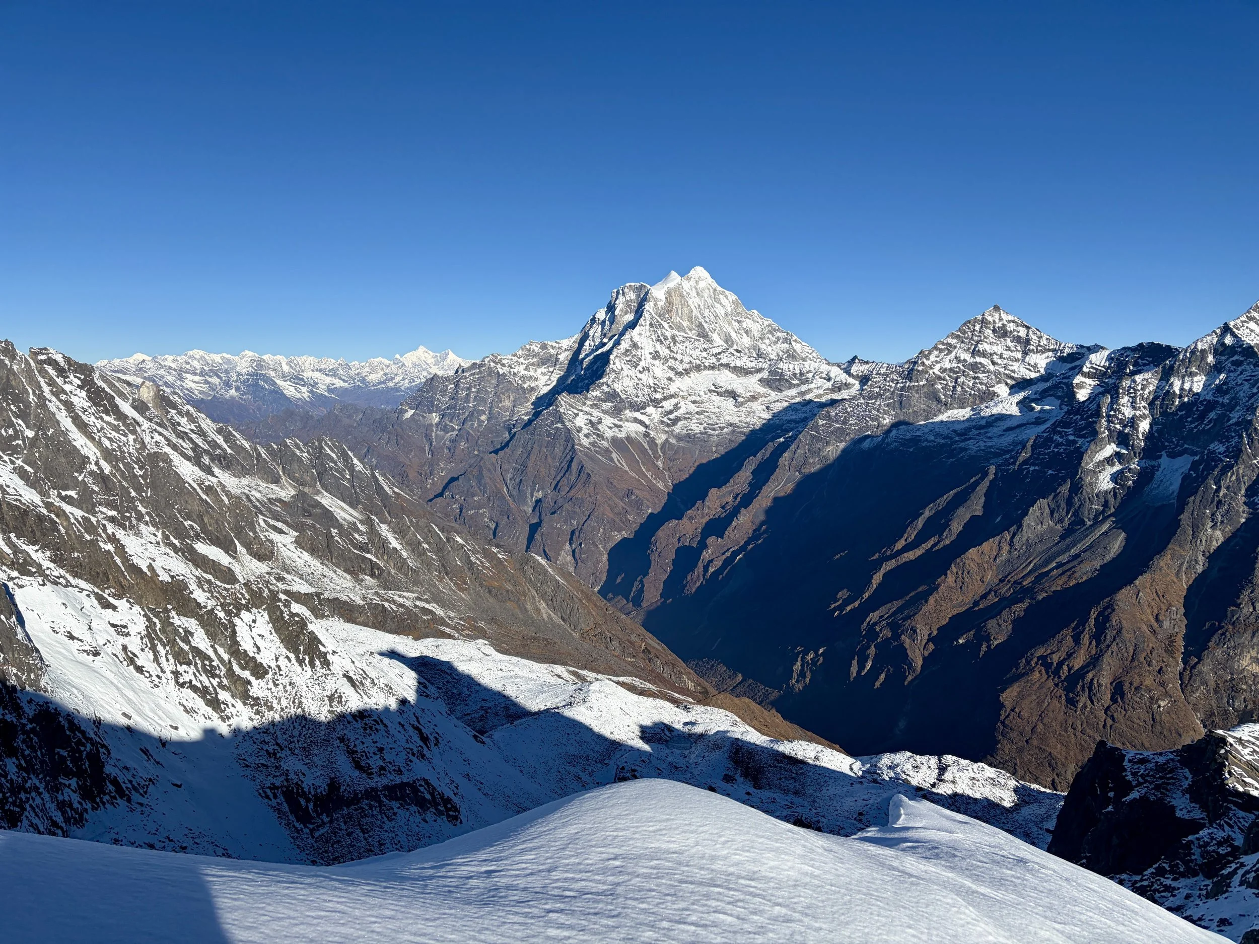
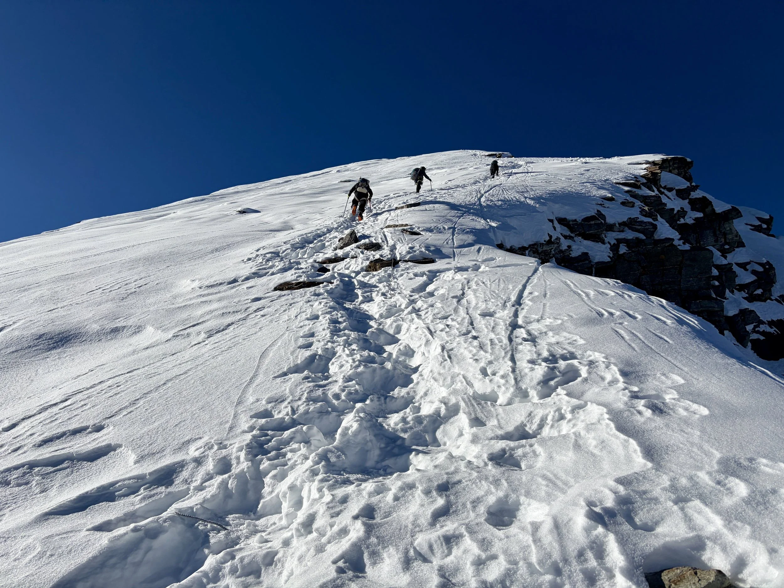
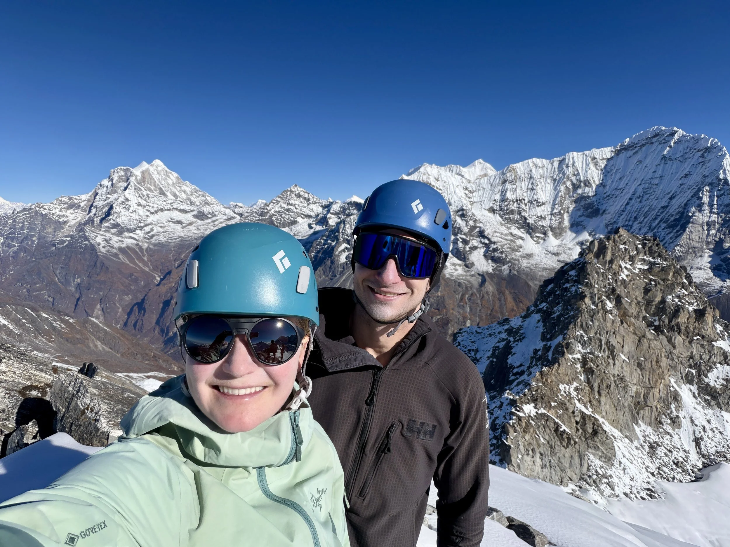
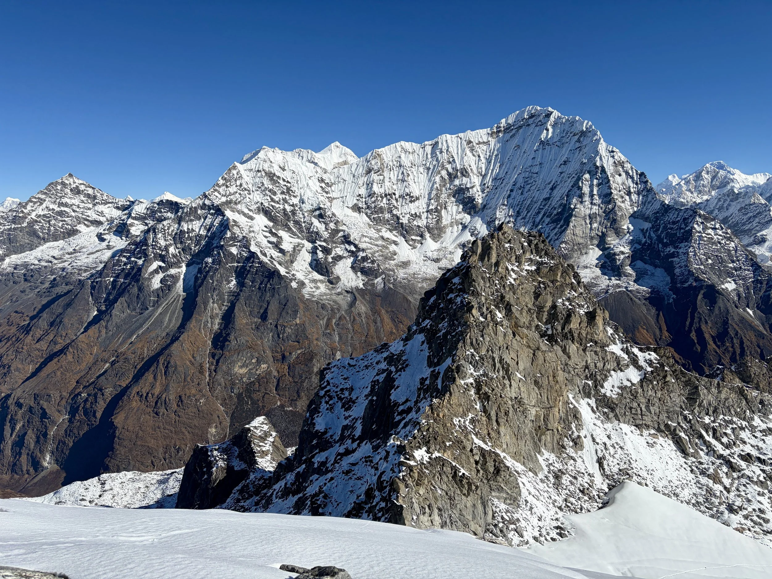
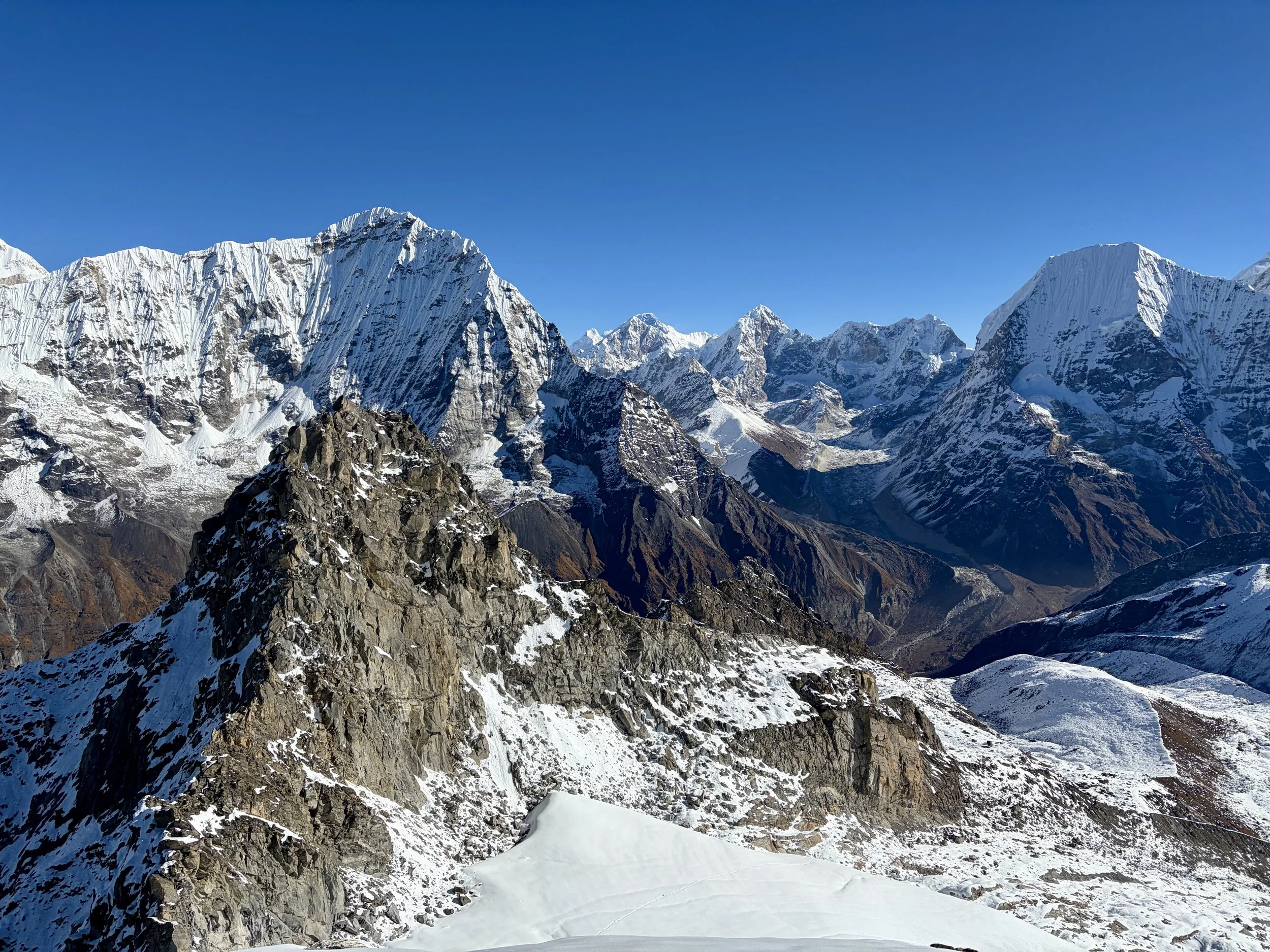
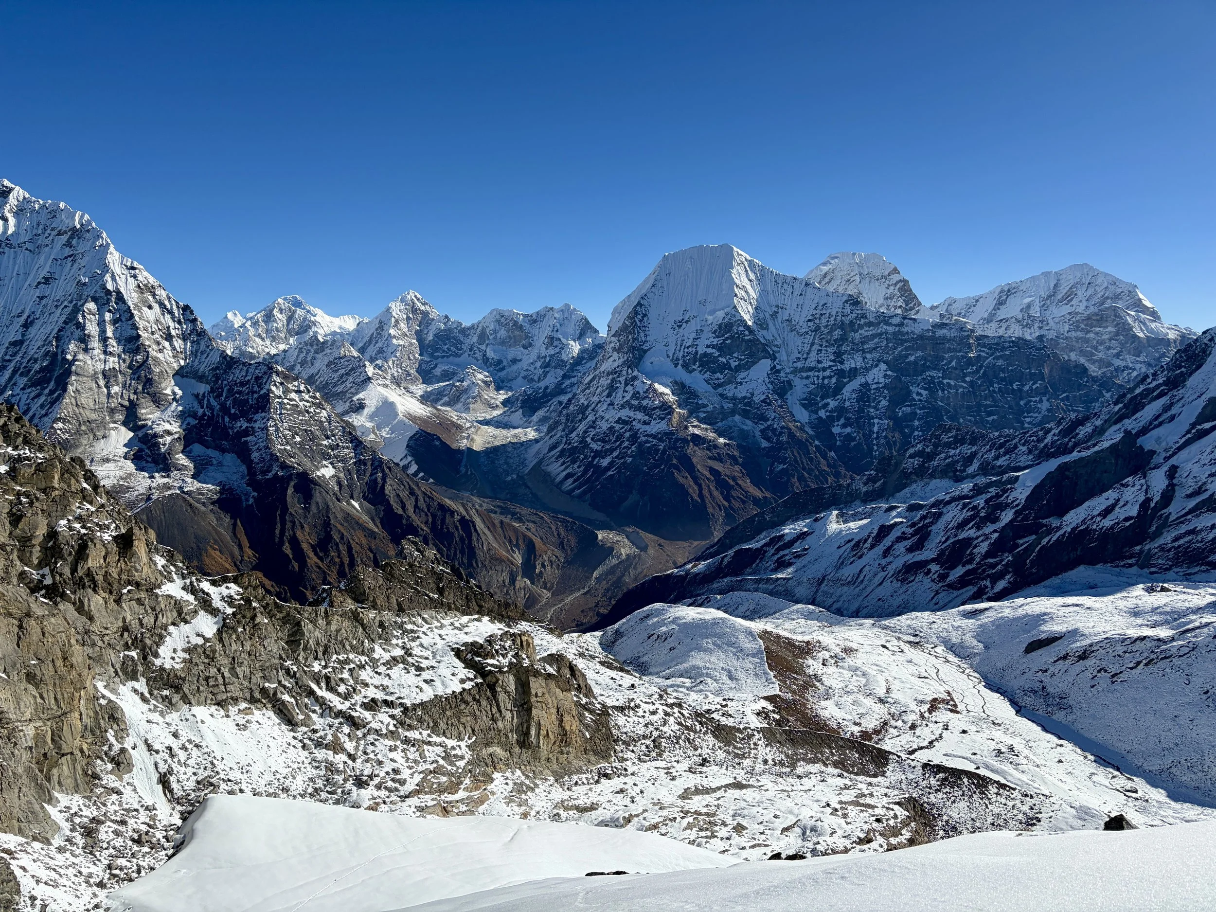
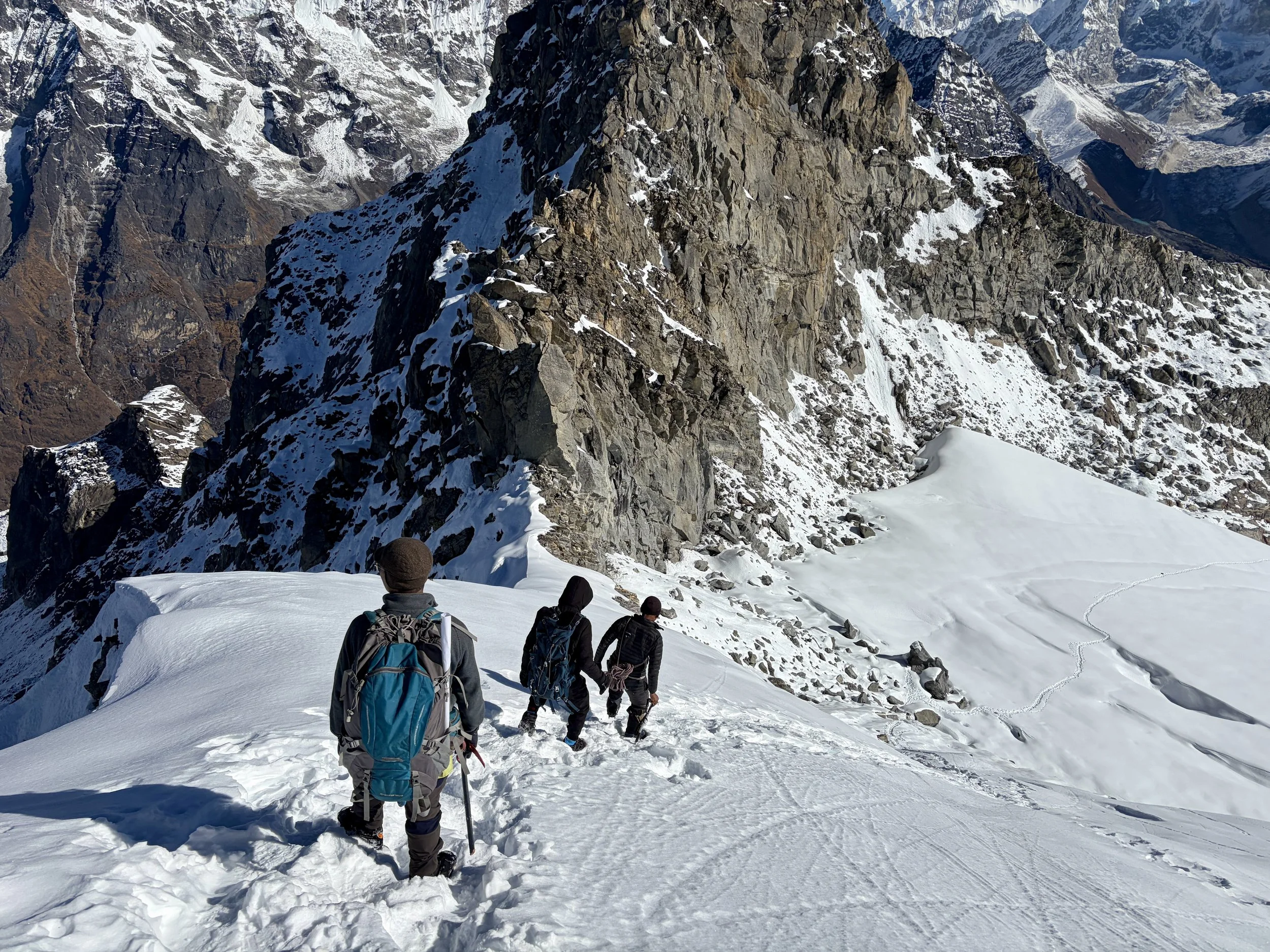
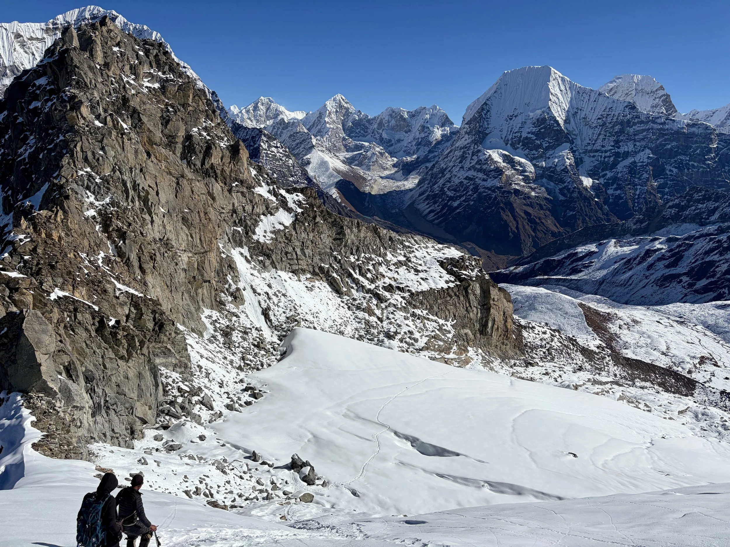
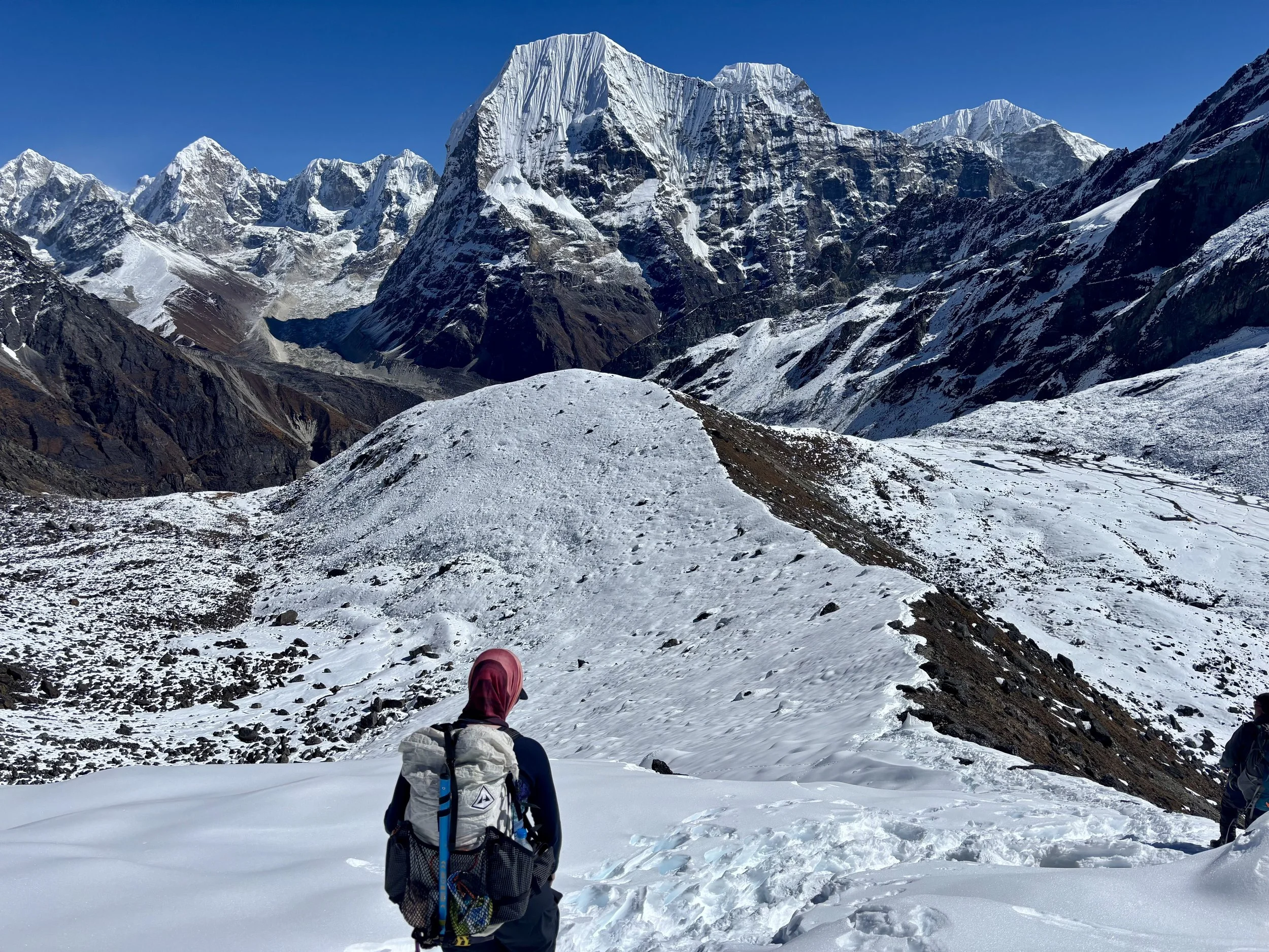
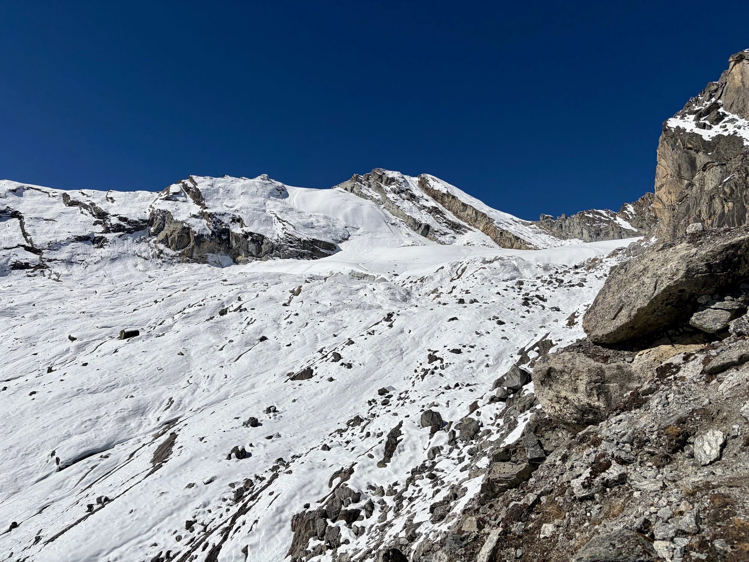
With our headlamps as the only light, five of us set out from camp. The crew consisted of me, Mike, our guide, one of the porters (he just wanted to join), and a local man that lived in Na that had been up the peak a few days prior named Dorje Sherpa. The trail immediately started gaining elevation, and since we were starting the day already at almost 16,400 feet, my pace was pretty slow. We followed a trail that was a mix of moraine and snow for the first mile or so. We traversed along a ridge for a while and then ultimately found ourselves at the base of a glacier. What was hard to determine from where we were was if it was actually a glacier (Gaia said it was, but many “glaciers” on a map now no longer even have snow). Our guide was unsure and Dorje was insistent there were no crevasses (Dorje was a bit of a character so we were hesitant to believe him), but our guide wanted to go with what Dorje said and so we didn’t rope up. Turns out, it was still a glacier and we saw some crevasses. We pointed this out to our guide and told him we’d be roping up on the way down. Thankfully, nothing bad happened and we found ourselves at the bottom of the summit block. A boot pack had already been kicked in and was fairly easy to ascend in boots and crampons. We soon found ourselves on the summit, at 18,471 feet- the highest both of us have ever been. We sat and had a nice snack break and enjoyed the 360 degree views that we had. Once we were ready, we headed back down the way we came up. When we got to the glacier our guide roped us up in a manner where I expected to walk first, followed by Mike, and then the guide, but our guide took off first with all of the extra rope around him. He also put us exceptionally close to each other, and I’m not sure we would have been able to catch any falls without all of us being pulled into the crevasse. We didn’t realize this until we were already on the glacier. Since we already had made a point about the mistake on the way in and morale was a little off between us and the guide because of his mistake earlier, we decided the best option was just to keep moving since we were already on the glacier and the amount of time it would take to cross it was 5-10 minutes (less time than it would have taken to change things and have a whole discussion about it while standing on the glacier). We made it across fine, but put it on our list of learning experiences. Once across the glacier, we took off our crampons and walked the rest of the way back to camp where hot soup was waiting for us. We had lunch and packed up our bags and then continued hiking to head back down to Na for the night. After our short, cold night, I was excited for a teahouse (which was also cold but still warmer).
That evening Mike and I privately discussed whether or not we should attempt Pachermo Peak (20,600 ft) with our guide in a few days. We didn’t like how he handled some things from a safety perspective on Yalung Ri and with Pachermo being more technical, it caused us to have some concerns. We ultimately decided that we were going to tell him that we didn’t want to do it. We’ve learned the hard way that being confident in one’s guide is the most important thing on an objective like this, and we didn’t have the confidence we needed. Just before we were going to have that discussion with him, he came to us and told us that no one had been able to summit Pachermo this season because the conditions on it were bad (chest deep snow on top of blue ice so no protection could be placed). We told him we were fine with this, and it saved us an awkward conversation in the middle of our trek. The discussion then turned to the weather forecast which showed a high likelihood of precipitation starting on Tuesday (the current day was Saturday). Our guide suggested we accelerate what our itinerary originally had us doing in four days to two. This would have us sleeping in Taschi Lapcha high camp (over 18,500 ft) on Monday night and then on Tuesday we could head down the other side of the pass, hopefully beating the weather. This made sense to us so we agreed to it and went to bed expecting a long day the next day.
Stats:
3.24 miles, +2365 ft of elevation gain, - 2365 ft of elevation loss from basecamp to the summit of Yalung Ri and back
2.9 miles, +131 ft of elevation gain, -2717 ft of elevation loss from basecamp to Na


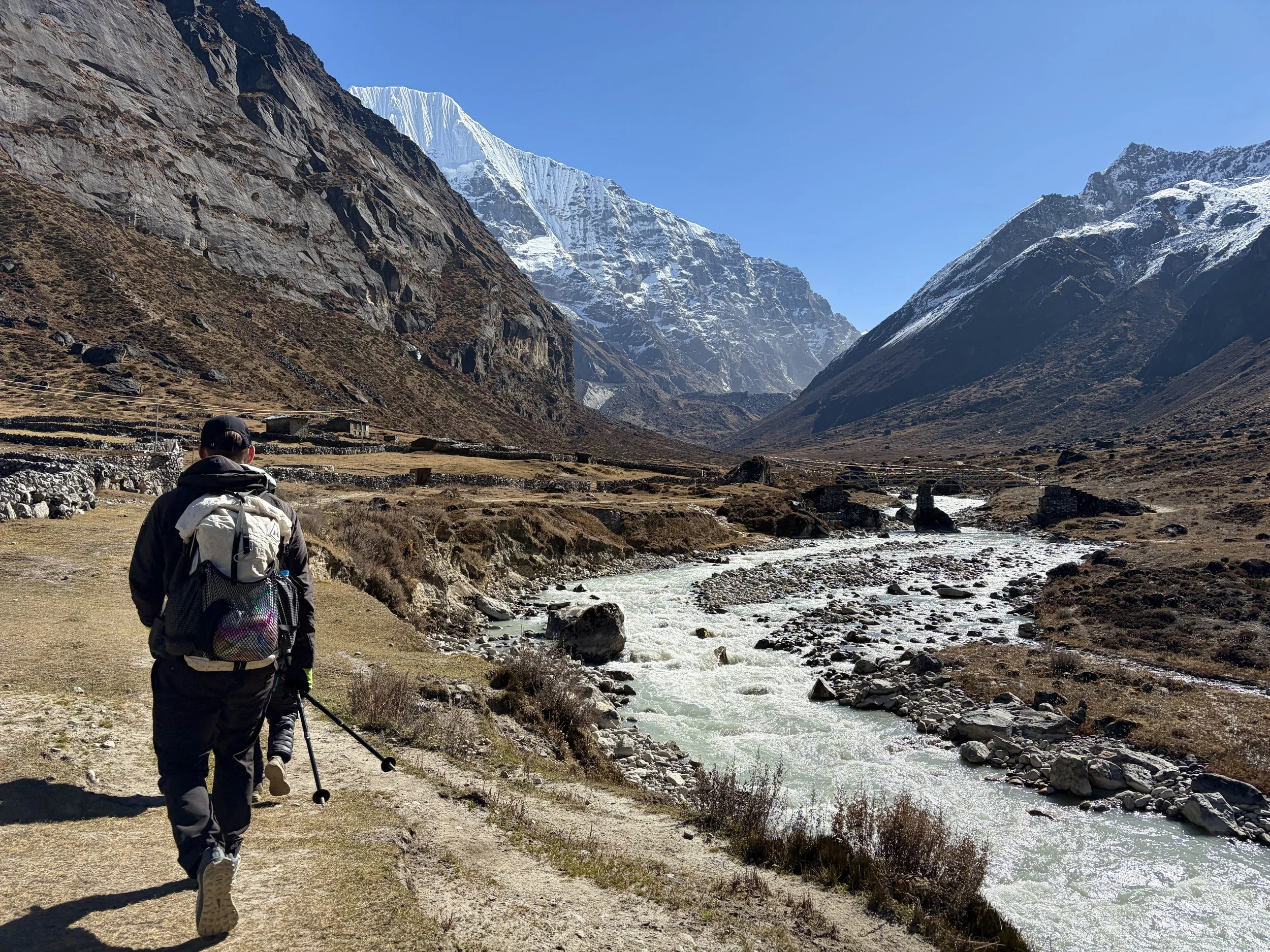
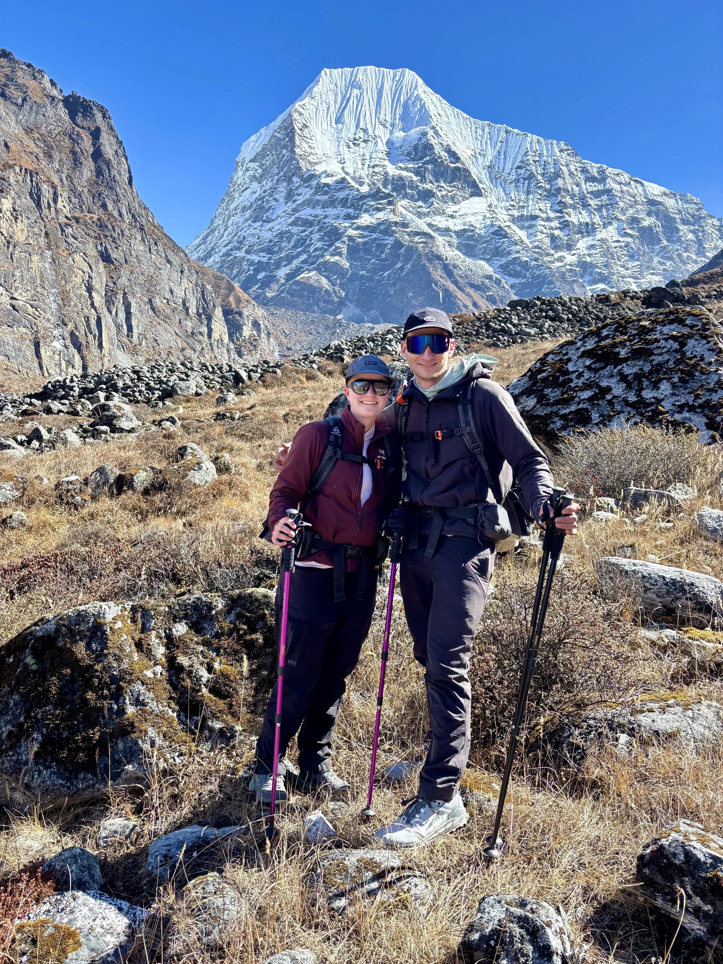
Day 9: Na to camp by Tsho Rolpa Lake
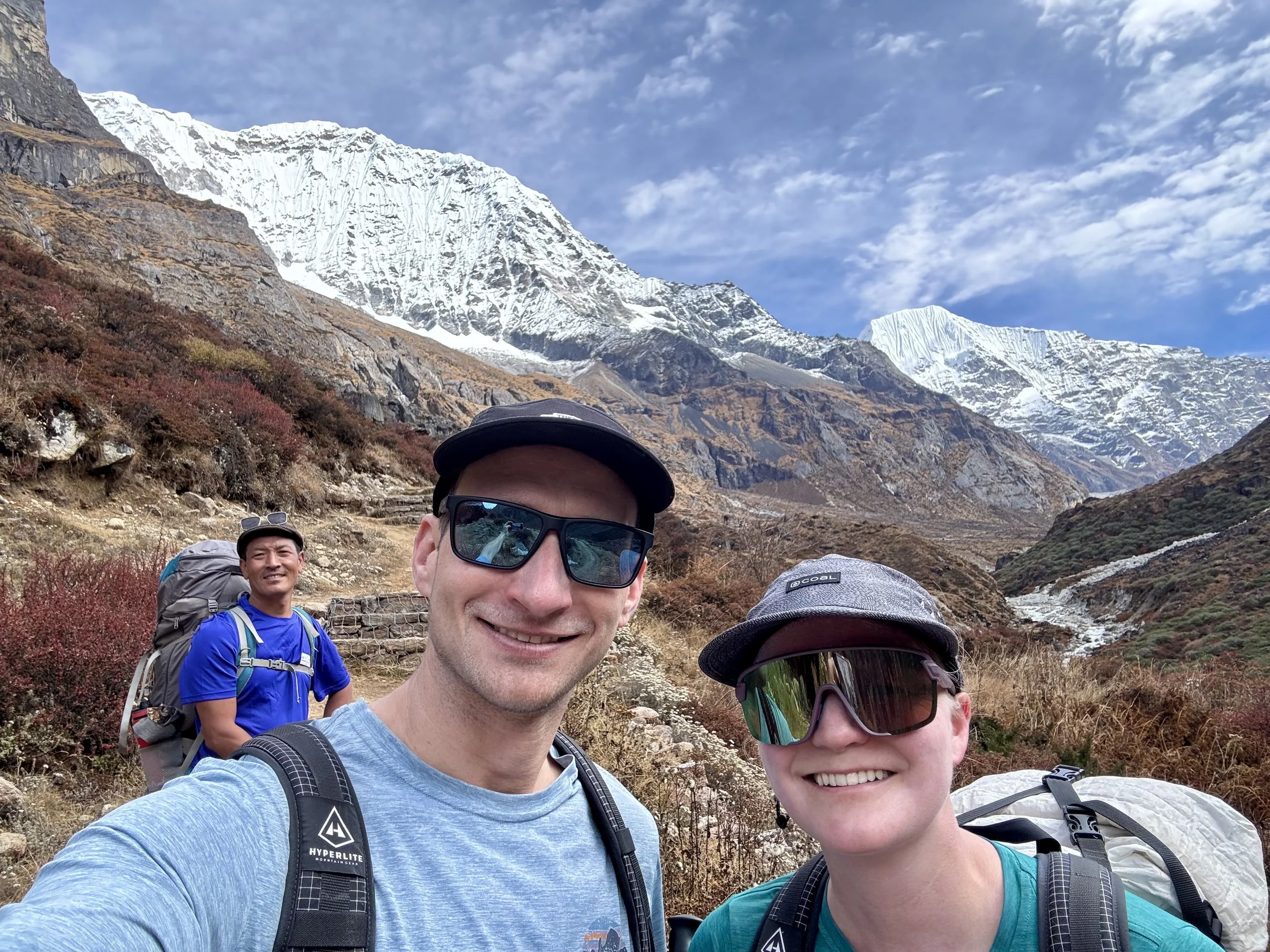
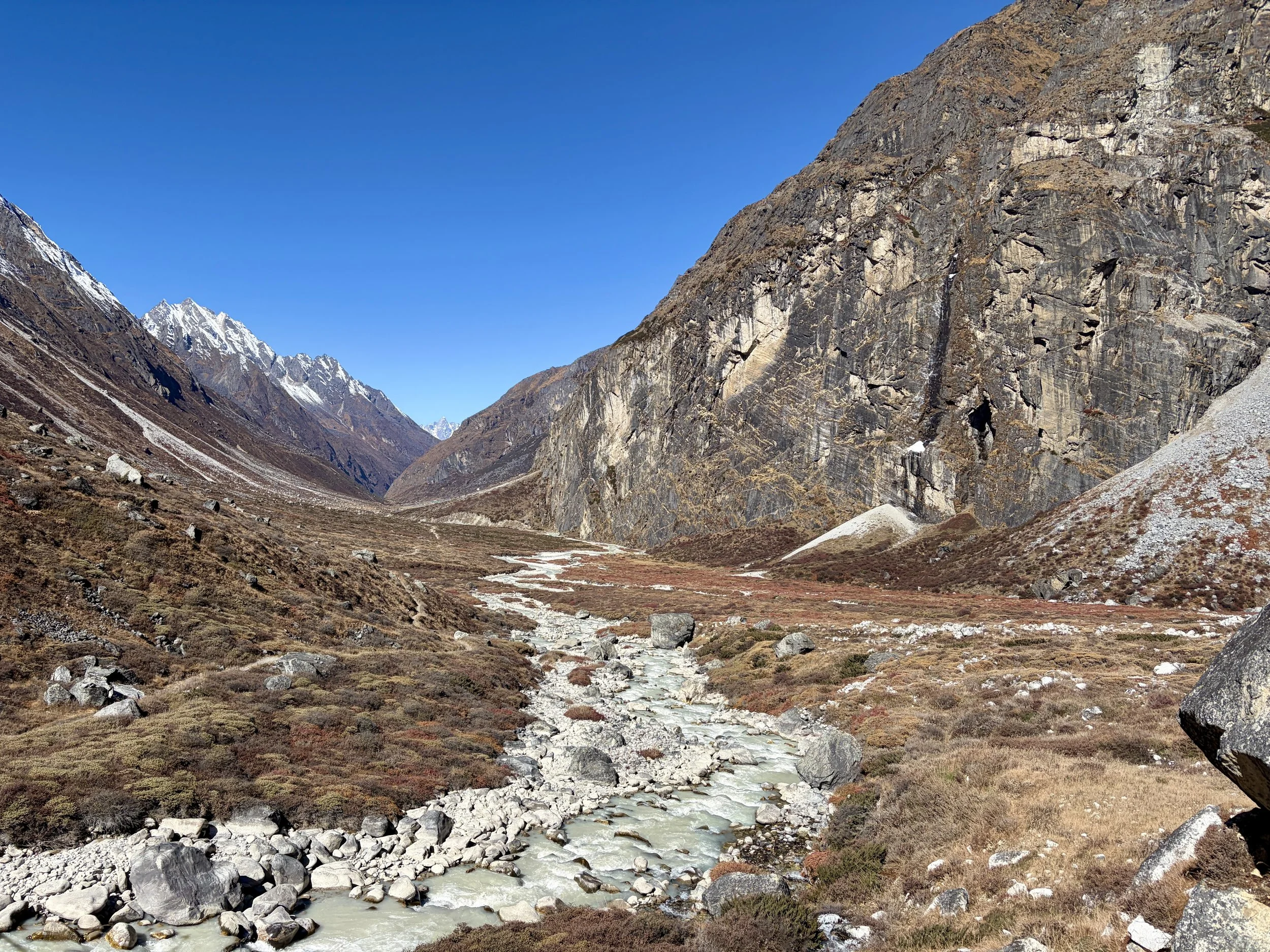
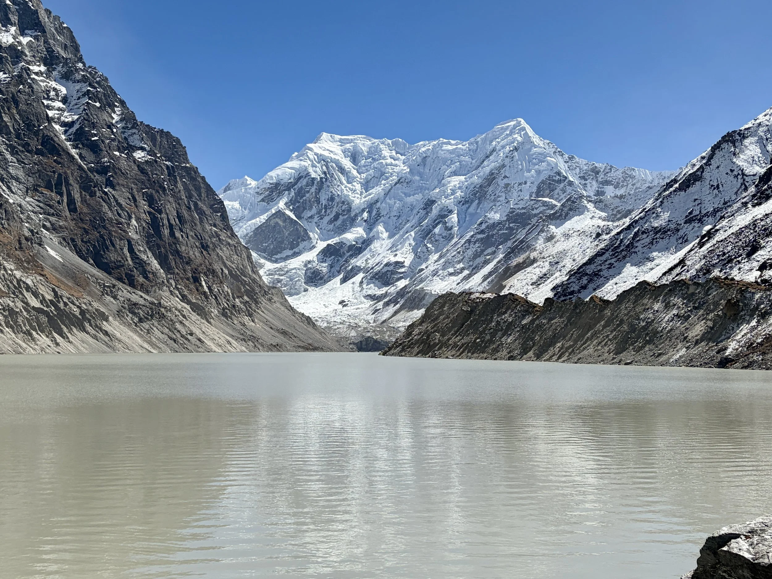
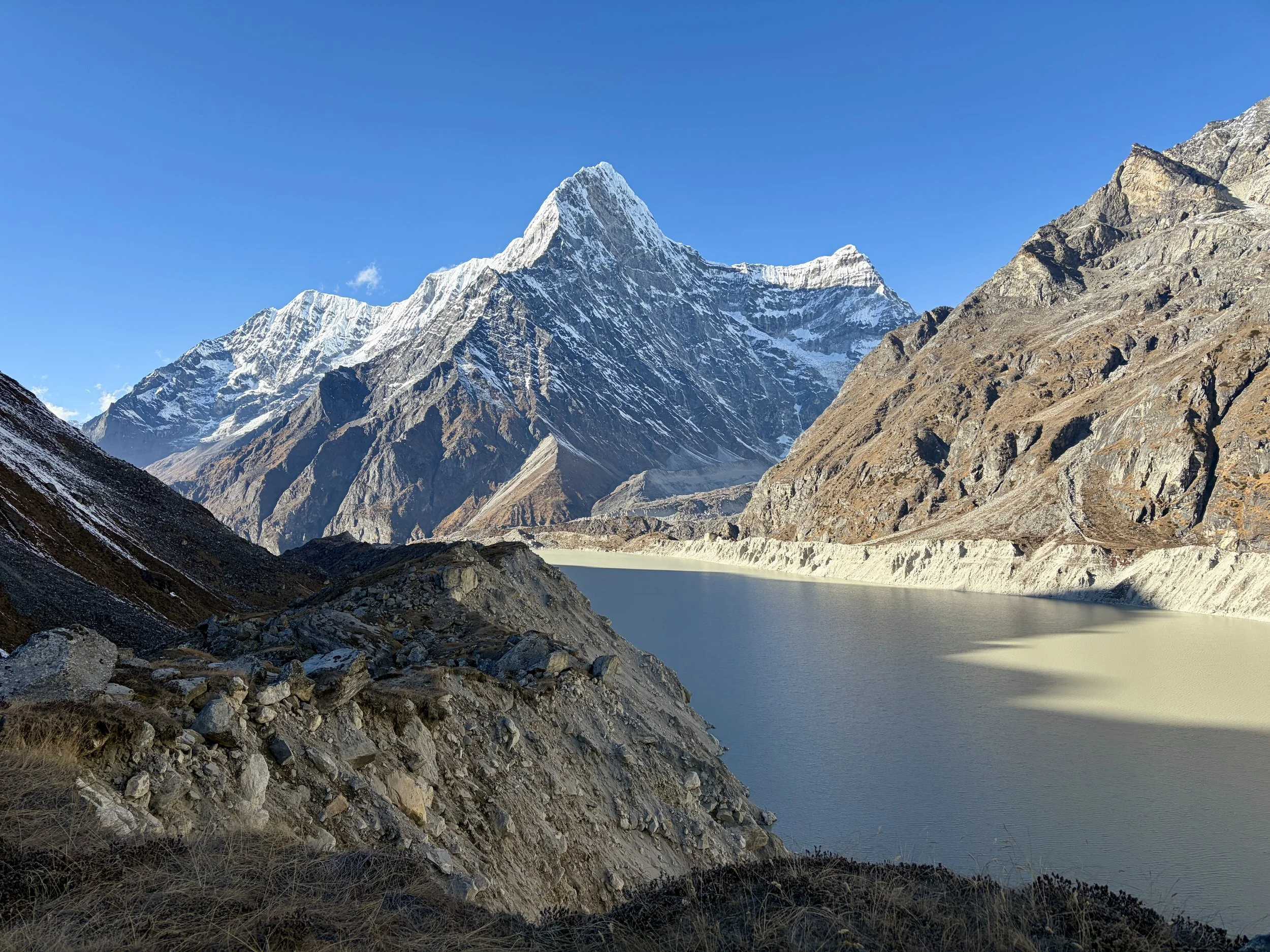
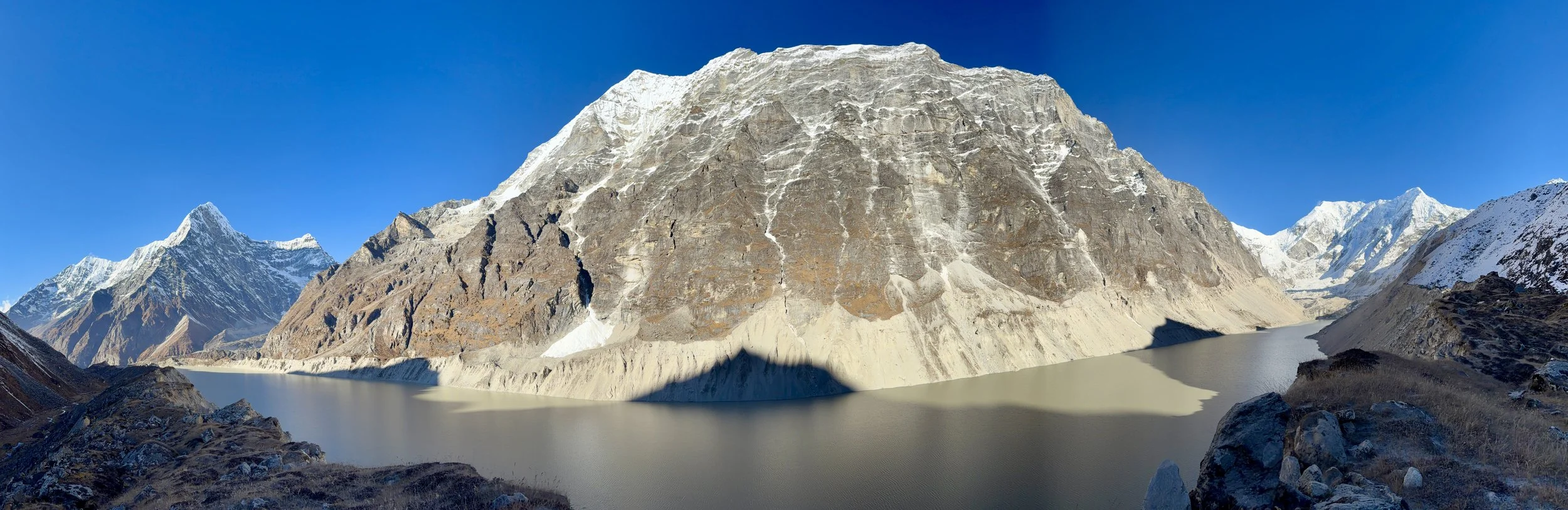
Today we woke up with a plan to go from Na to Glacier Camp on our way to Taschi Lapcha pass, but when we did a Garmin inReach weather update, we reevaluated our plans. The weather update showed heavy snow would start very early Tuesday morning (today was Sunday), and our plan for that morning was to be camped at the high camp near the top of Taschi Lapcha pass. The forecast called for 23” of snow at the top of the pass between 2am and 8am on Tuesday, with another 24” expected between 8am and 2pm. The snow would continue through most of the week. We spoke with our guide and trekking company and they said the storm was still uncertain and it was too far out to say what would happen. Since going back out the same way we came in was now something for us to consider, we decided the best course of action would be to trek to Tsho Rolpa Lake and camp there for the night. This would put us a few hours closer to the pass should the weather forecast materially change, but would also keep us closer to Na and retreating if we decided to turn back the way we came. It also made for an easier trekking day which we welcomed after Yalung Ri the day before.
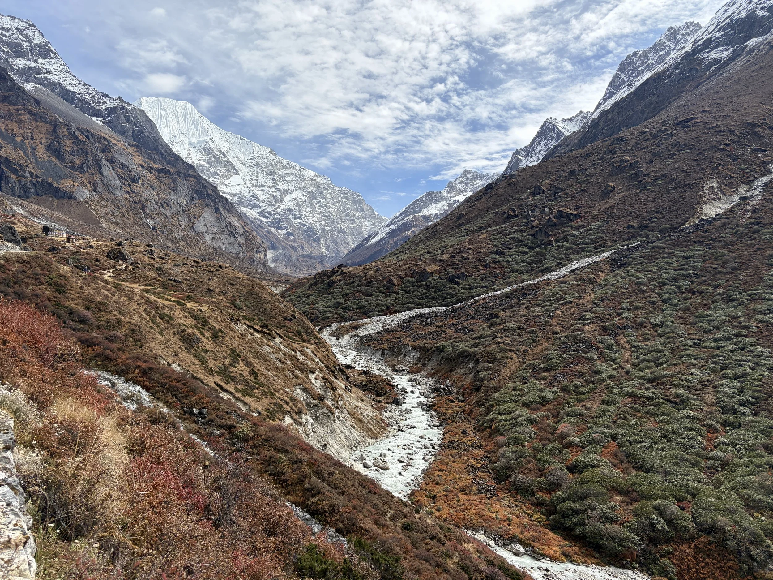
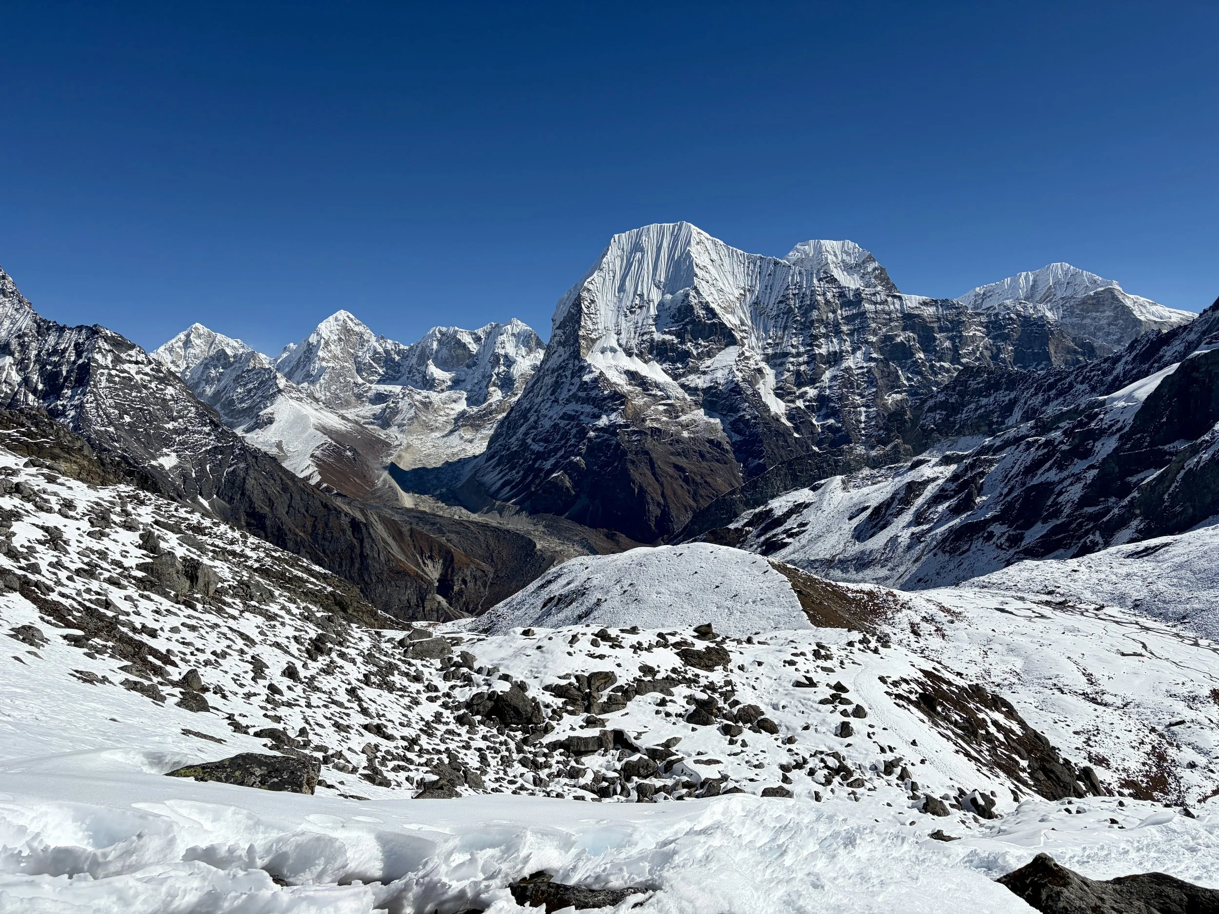
The trek up to Tsho Rolpa lake was beautiful with great views of the Rolwaling Valley the whole time. After ~2 hours at a leisurely pace, we found ourselves at the glacial lake. Tsoboje loomed large above us and Likhu Chuli came into view for the first time and it was a beautiful, complicated mountain to look at. While taking a break at the lake, a rescue helicopter flew past us and went to pick up people near Tashi Lapcha pass. It did two trips and landed back in Na both times. We wonder what happened. After a break at the lake, we continued hiking along the southern end of the lake and shortly found ourselves at camp for the night- a nice spot by the river with a “kitchen” under a large rock. This was an old teahouse location but it’s no longer run. We had a nice leisurely afternoon before we updated the weather forecast again to see if anything had changed so we could make our decision for the remainder of our trek.
Upon refreshing the weather forecast, we decided we would turn around the next day and head out the same way we had come in. The forecast was for 5 feet of snow to fall in two days and for another 12 feet to fall between Thursday and Friday at the top of Tashi Lapcha pass. Even if these estimates were off to some degree, the magnitude of the amount of snow to come was too high for us to continue the trek. It was simply unsafe to continue. We showed our guide these forecasts, and shockingly, he still wanted to continue. Ego seemed to be the issue, but we told him it really wasn’t a discussion, and we’d be turning back. We asked to plan to hike as far as we could the following day when the weather would still be nice. Particularly, we wanted to make it over the makeshift bridge on the river that we suspected would wash out the next time the river surged. So it was decided that we would wake up early to retreat all the way to Dongang in a day.
Stats: 4.0 miles, +1615 ft of elevation gain, -315 ft of elevation loss


Day 10: Tsho Rolpa Lake to Dongang
We woke up early this morning as we wanted to hike all the way to Dongang today. We ate a quick breakfast and packed up camp. We descended and an hour and a half later, found ourselves in Na. We stopped there to have the porters leave the extra food we had and lighten their loads. We then continued to Beding and had lunch there.
After lunch, we continue down valley and a few hours later, found ourselves in Dongang. We hiked for a good chunk of the day and this was the first day of the trek where it felt like we hiked the amount of mileage that Mike and I typically would hike, and it was nice to feel tired from exercise and not just from the altitude. Between feeling good about our decision and sleeping at lower elevation after some pretty low quality nights of sleep, we slept really well that night.
Stats: 14.24 miles, +1175 ft of elevation gain, -7004 ft of elevation loss


Day 11: Dongang to Simigaun
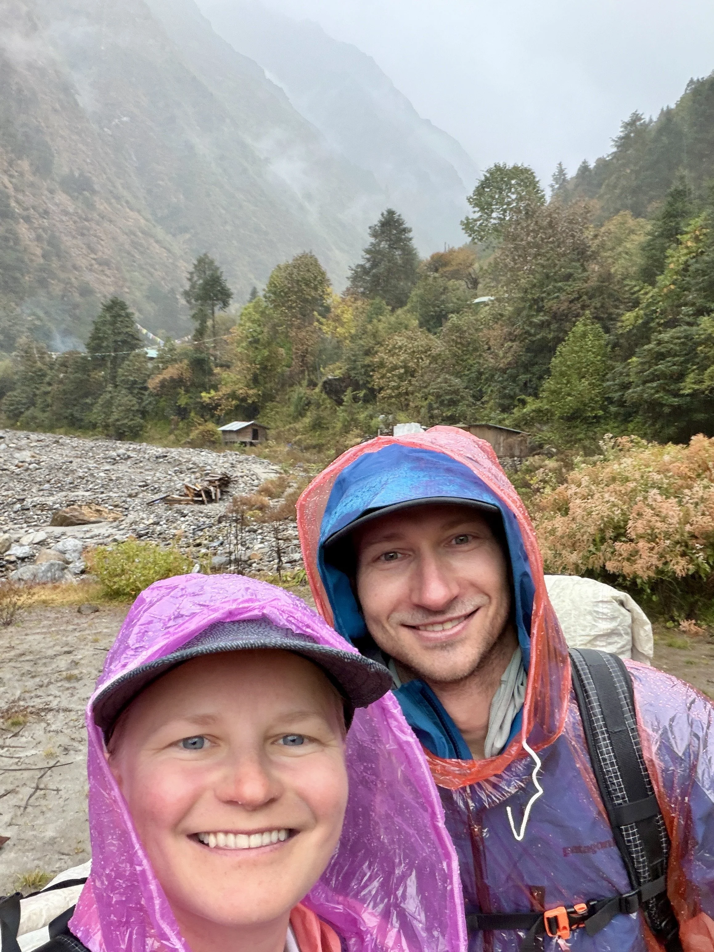
We woke up to pouring rain. The rain had started at midnight. Our guide, who was unhappy the day before about our decision to turn around, praised us for our smart decision to turn around and was in a much better mood himself. With no end to the rain in sight, we decided to hike to Simigaun in the pouring rain after breakfast. The rain was motivating, and we found ourselves back in Simigaun in 3 hours. I don’t think I’ve ever been so soaked in my life despite having a poncho, waterproof pants, and Gore-Tex shoes. Since it had already felt like I had been standing in a shower all day, I took my first shower since the last time I was in Simigaun on day 2, and it felt marvelous. After putting on some dry clothes and ordering some hot tea, we sat and watched the rain and wondered how much snow was falling up on Tashi Lapcha Pass. Our guide guessed meters. We were so happy with our decision to descend. We once again slept well that night!
Stats: 5.75 miles, +1375 ft of elevation gain, -3963 ft of elevation loss

Day 12: Simigaun to Chetchet
We woke up a little later than usual and after breakfast headed down the 1.75 miles of stairs back to the road where we had gotten dropped off on day 1. The same mini bus was waiting for us. We hopped in and 8 long hours later we found ourselves back in Kathmandu.
Stats: 1.75 miles, +125 ft of elevation gain, -2201 ft of elevation loss


Final thoughts:
We went to Nepal looking for a grand adventure, and that was exactly what we got. We had many beautiful days of trekking and did not see any rain until day 11 of our trip. The highlight of the trip was summiting Yalung Ri and enjoying the views from that summit. In general, the mountains in the Rolwaling Valley were simply beautiful. The lowlight of the trip was having a rental sleeping bag that smelled like fish, which made it difficult to really bundle up in it and stay warm and also just having to smell fish every time I moved (it definitely impacted the quality and quantity of sleep I got).
When we got back into cell service, we discovered that Cyclone Montha was the source of all of the moisture that was coming our way. A literal cyclone. And most trekkers we saw in our final days had no clue bad weather was inbound. Hundreds of people ended up getting stuck and the search and rescue helicopters were flying nonstop for days to get people back to Kathmandu safely (when they were able to fly). Our trekking company had another group doing the Manaslu circuit during this storm and they got stuck at the same teahouse from Tuesday until sometime after we left Nepal (we left on Sunday and they were still stuck). Our trekking company’s request to send a helicopter to evacuate the group kept getting denied by the Nepali government. I don’t know why this was the case but if I had to guess, I imagine there were a lot of people in tents and at higher elevations that needed to be evacuated first. I hope they ended up making it out ok.
We learned a lot on this trip, as we typically do on our mountain adventures. We are proud of our decision to turn back when we did, even though we would have loved to continue the trek and our guide was pushing us to do so. The mountains will always be there, so until next time Nepal…
A few random tips:
-If you need to pay for anything in Nepal in USD, only bills in perfect condition will be accepted. We paid the balance of our trip in cash (USD) and had several bills the trekking company would not accept because there were small tears in the bills.
-I strongly recommend filling out your visa form online before traveling as the machines at the airport don’t work well and the line for us was very long.
-If you need to use a sleeping bag on your trip, I recommend bringing your own and not renting one.
-Rental gear in Nepal in general is quite old so for any items that you may need for highly technical expeditions, I’d recommend bringing your own gear to the extent that you can.
-When you order dal bhat in the tea houses, the amount of food you can eat is bottomless so you will not go hungry on a tea house trek. Please don’t ask for more than you can eat and waste food!