Backpacking in the Sangre de Cristo Wilderness, Westcliffe, Colorado
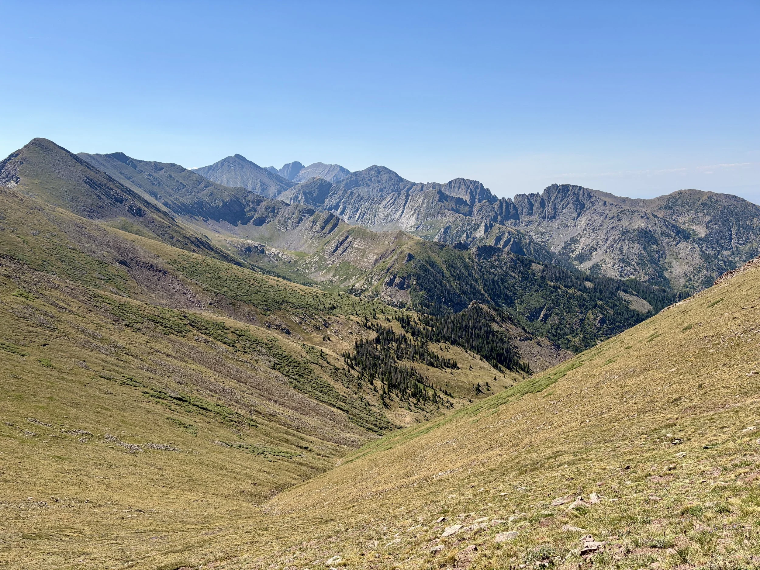
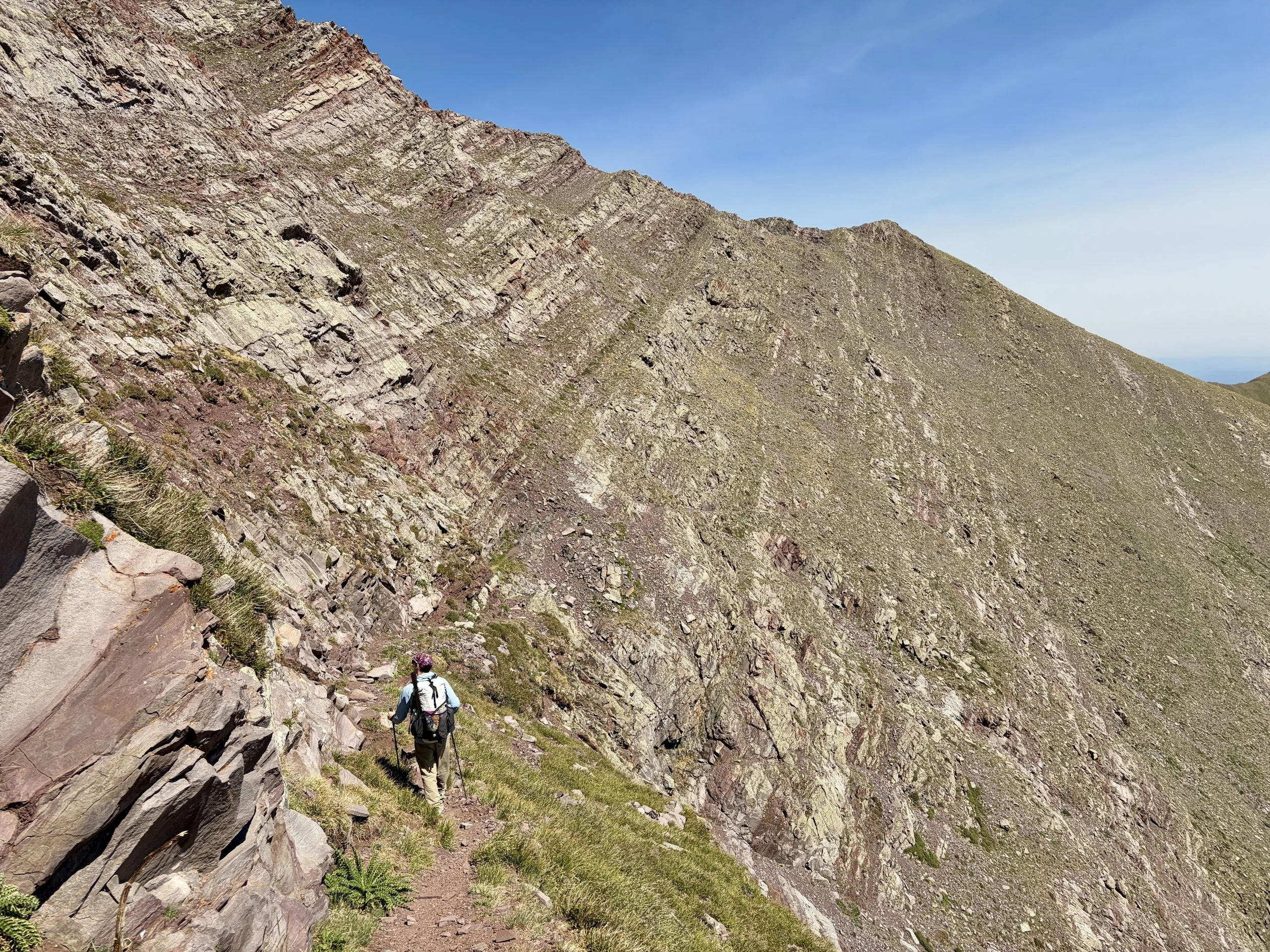
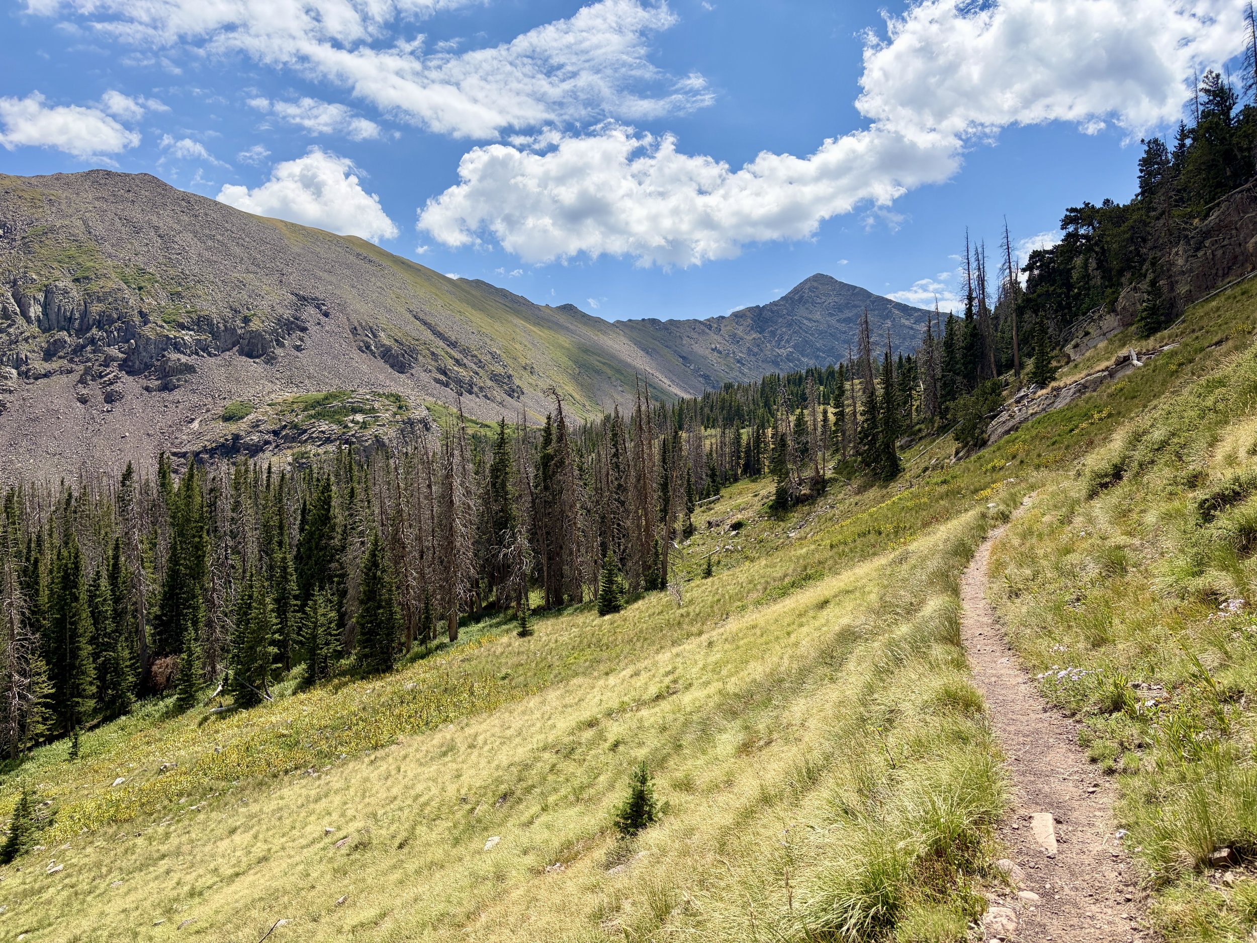
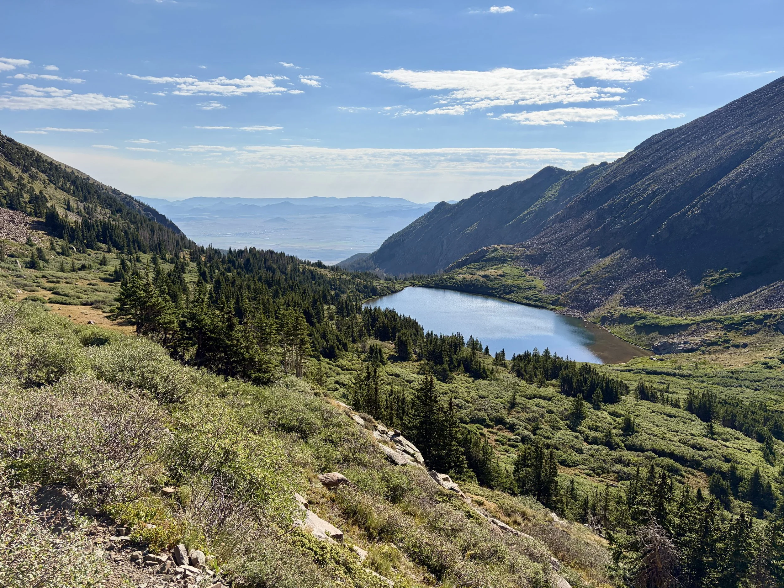
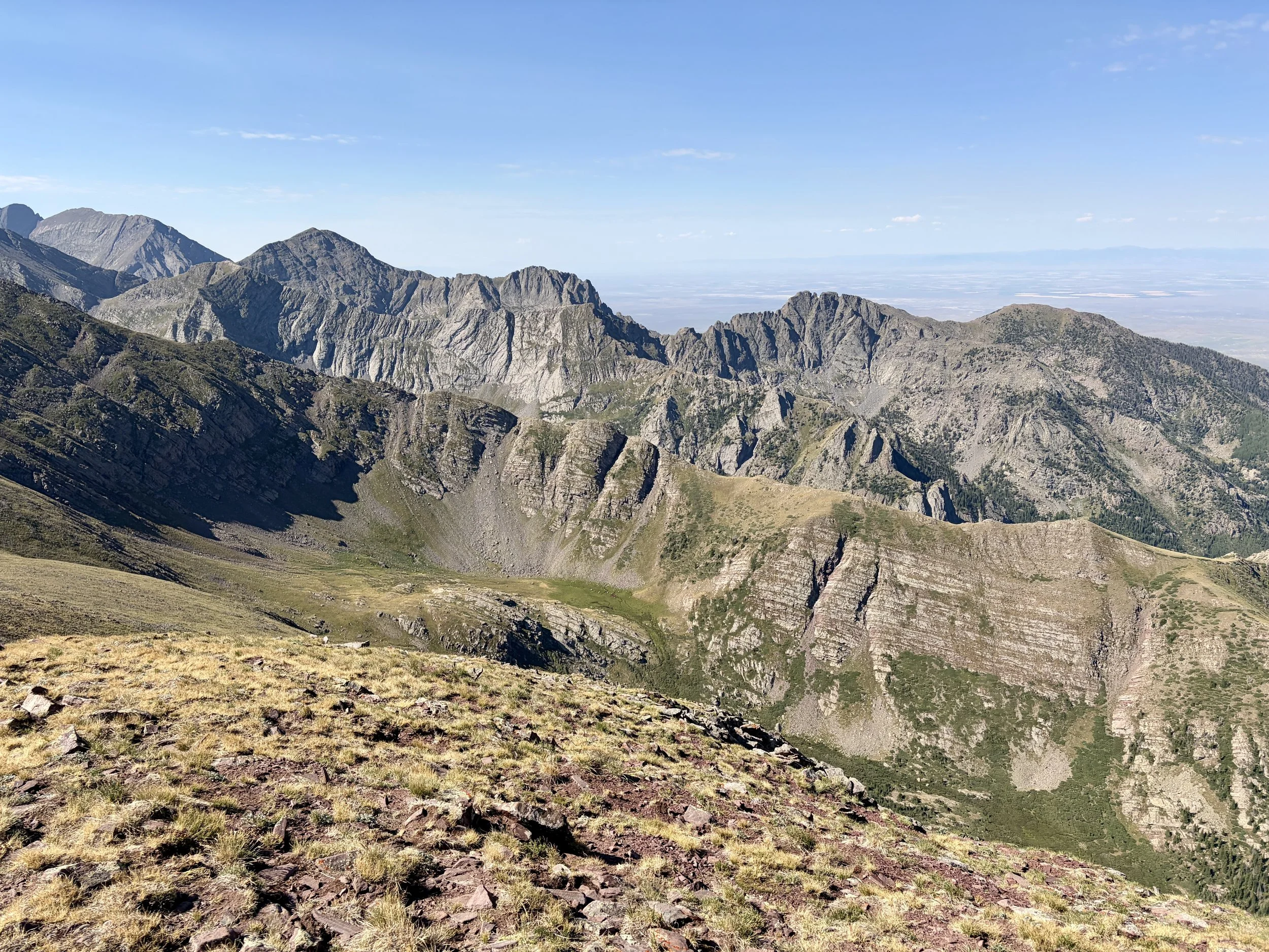
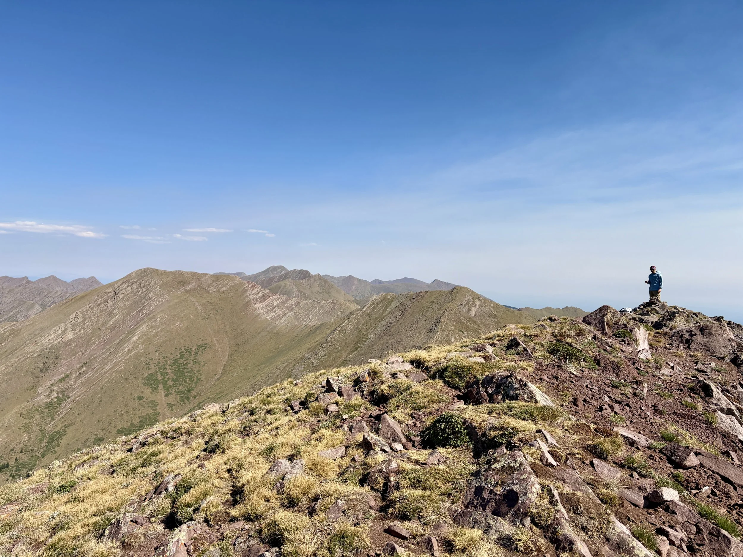
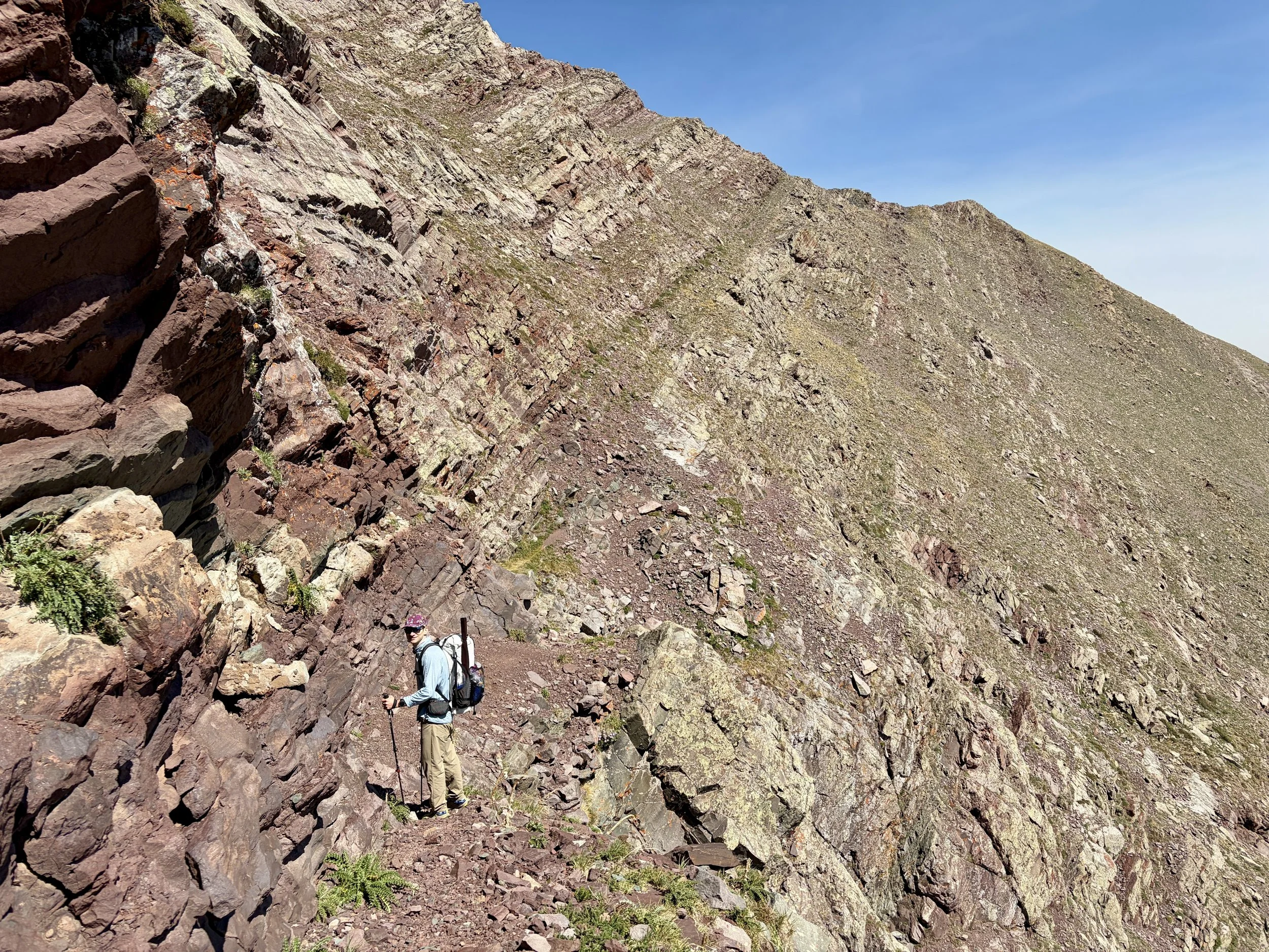
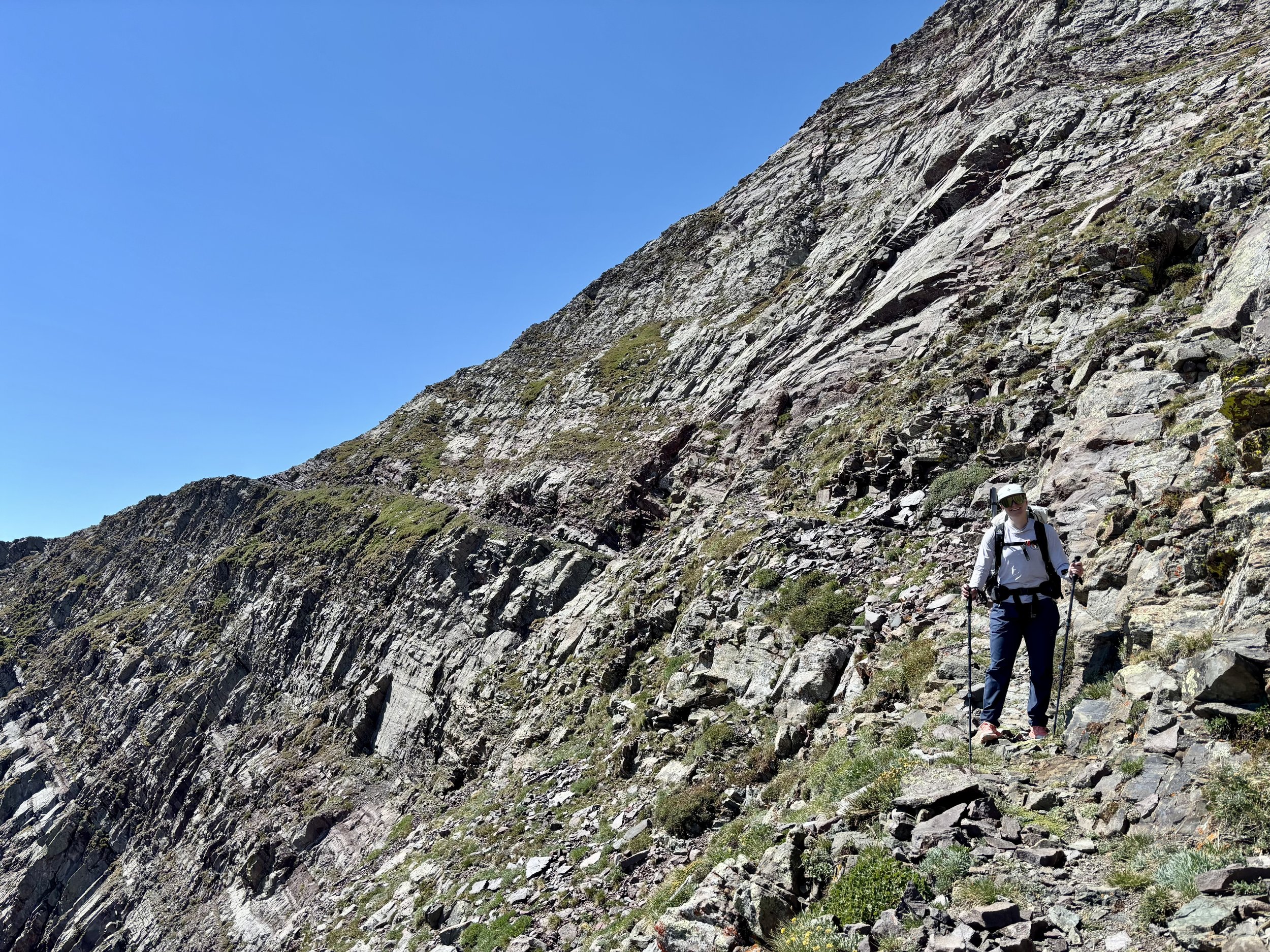
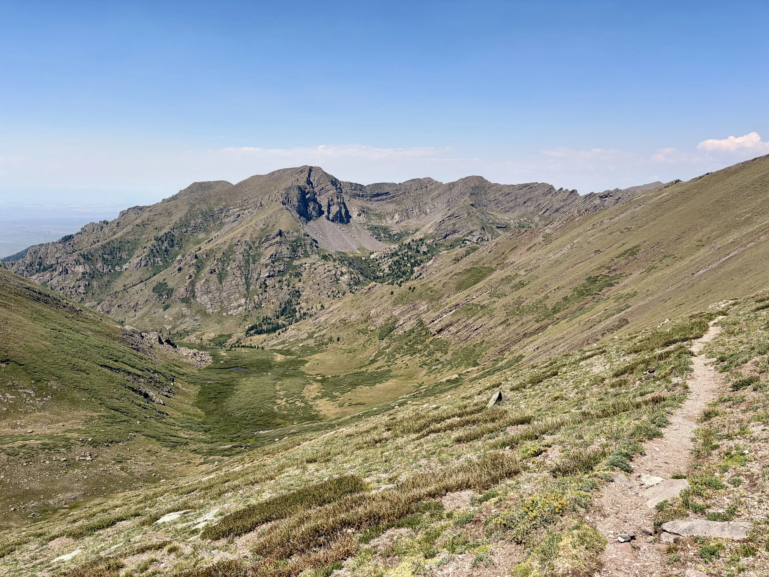
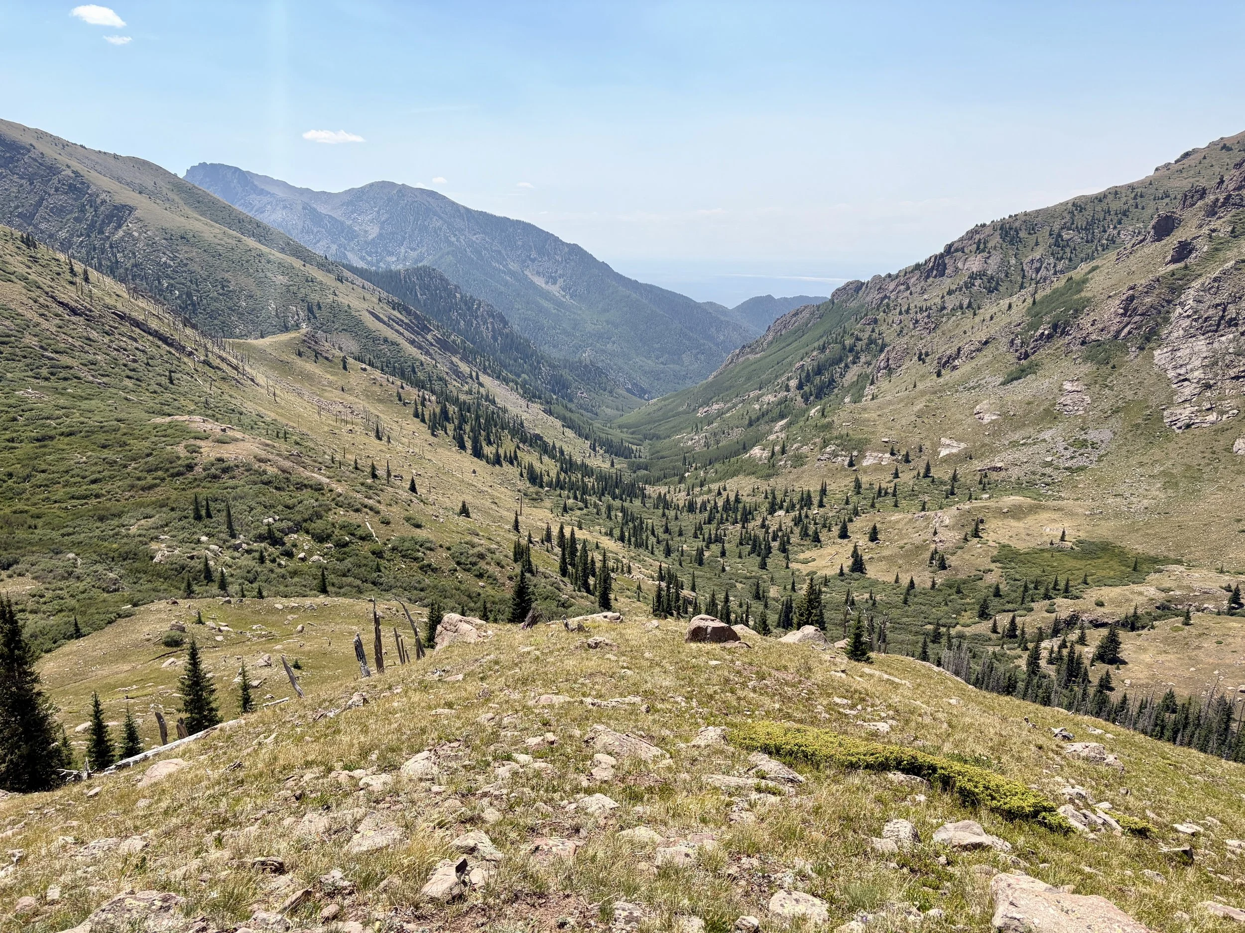
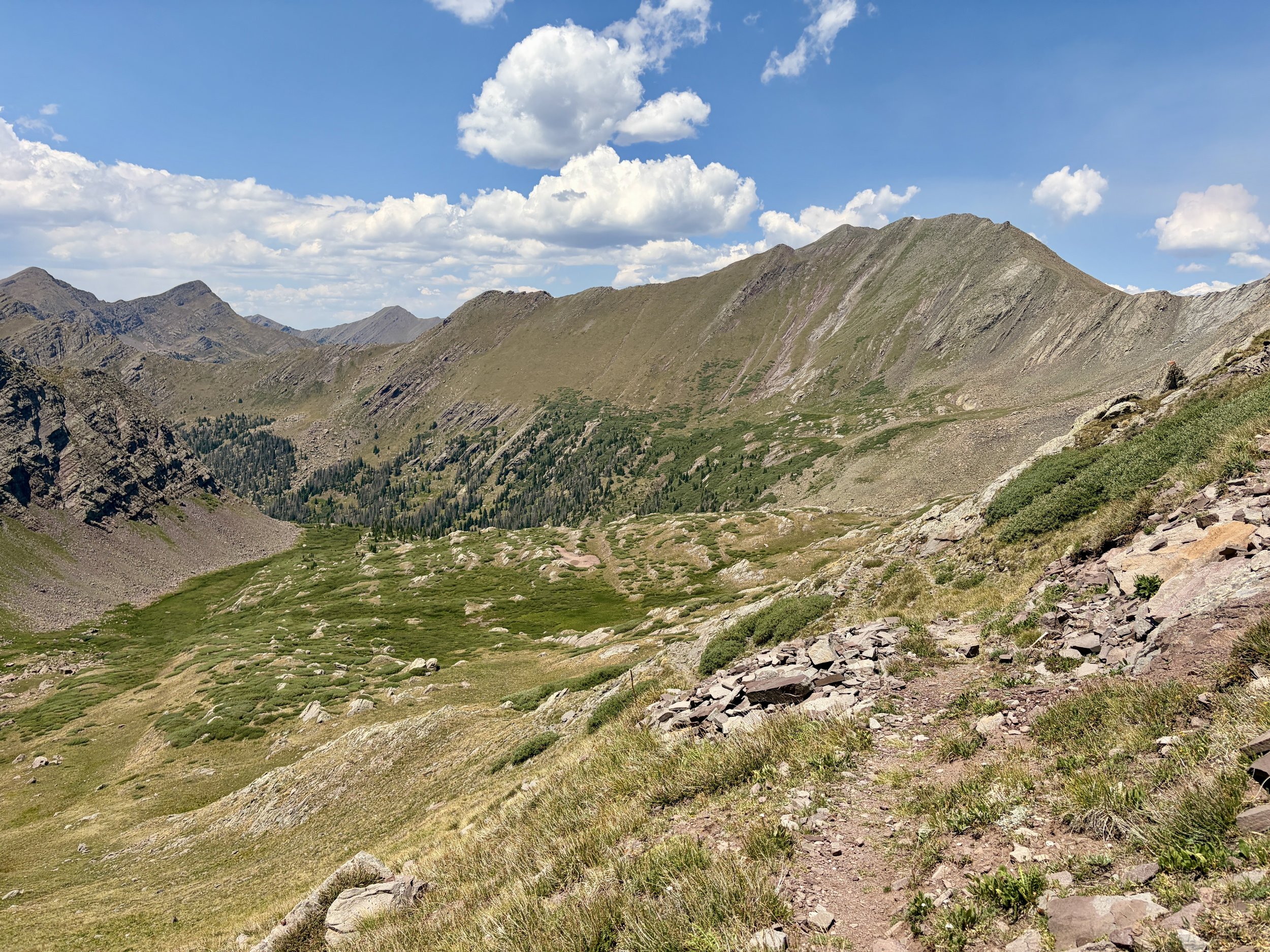
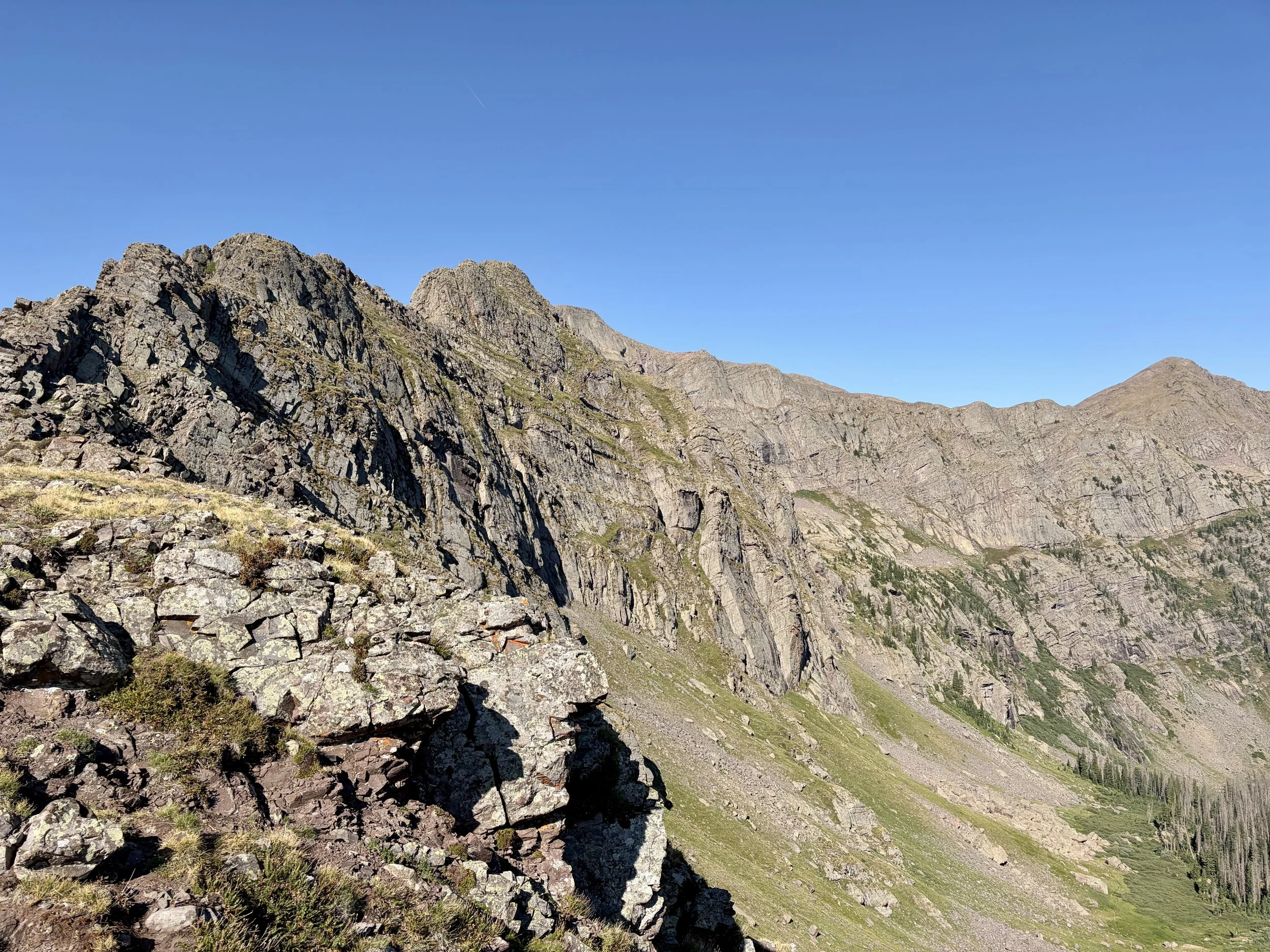
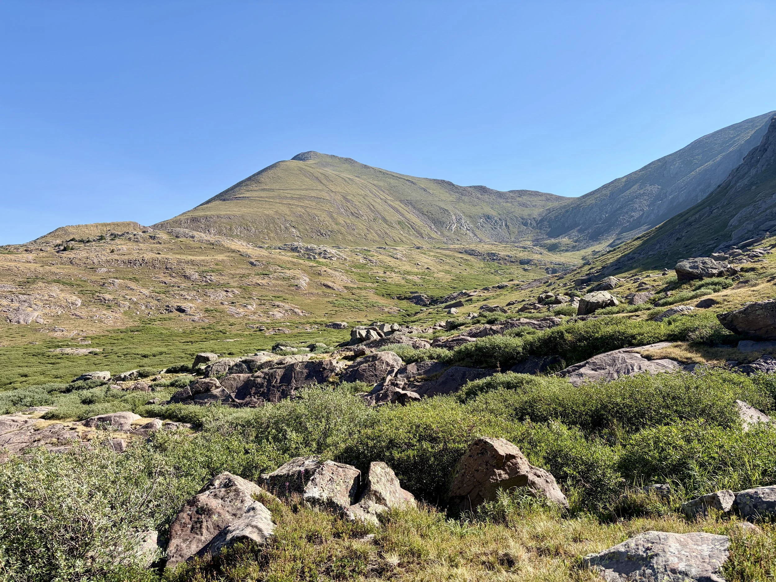
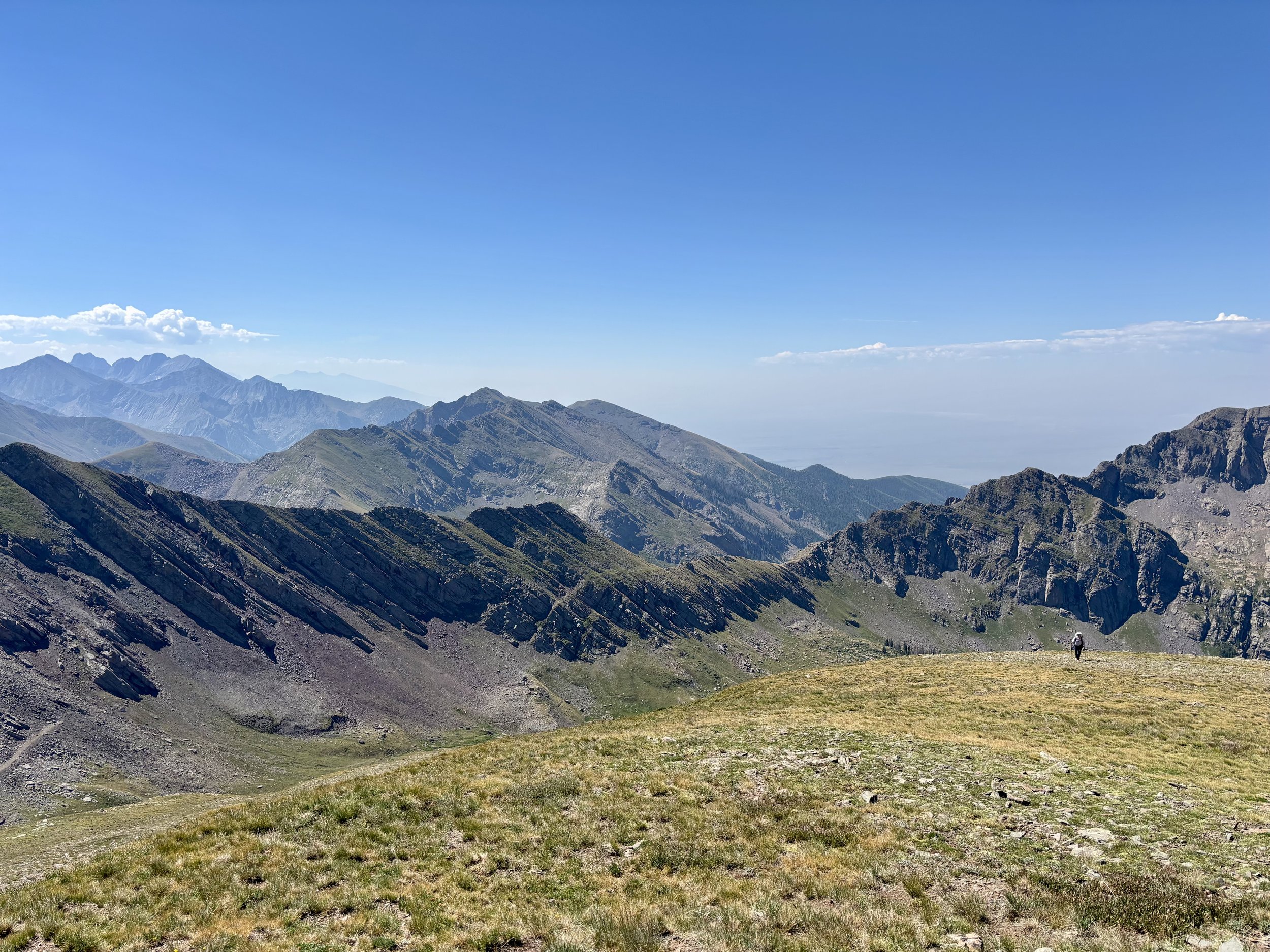
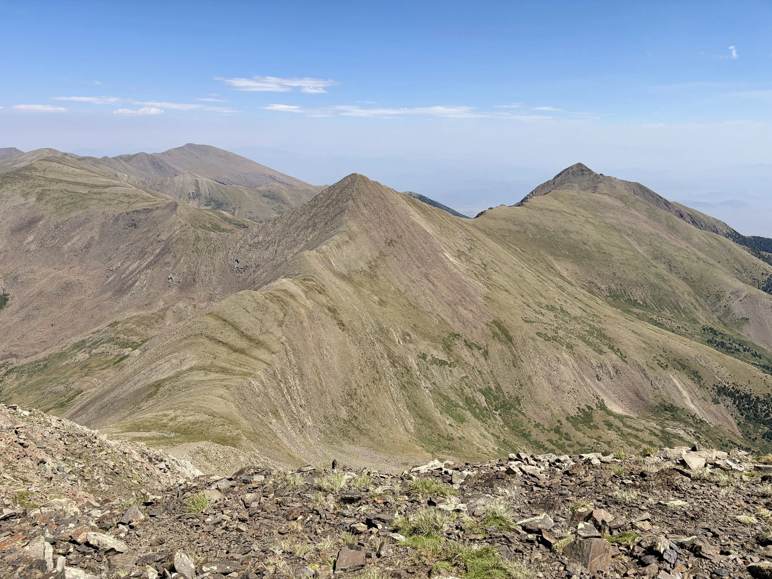
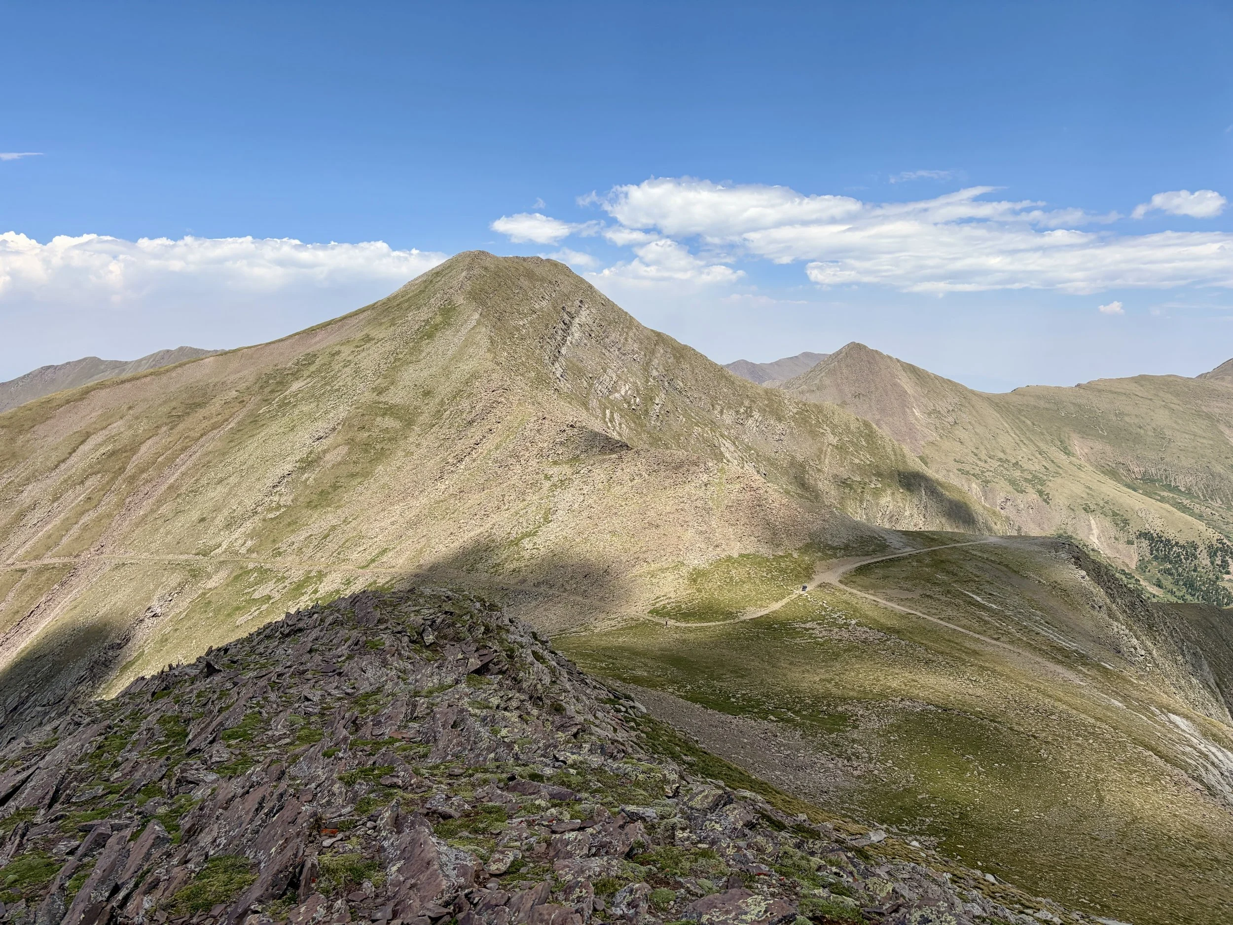
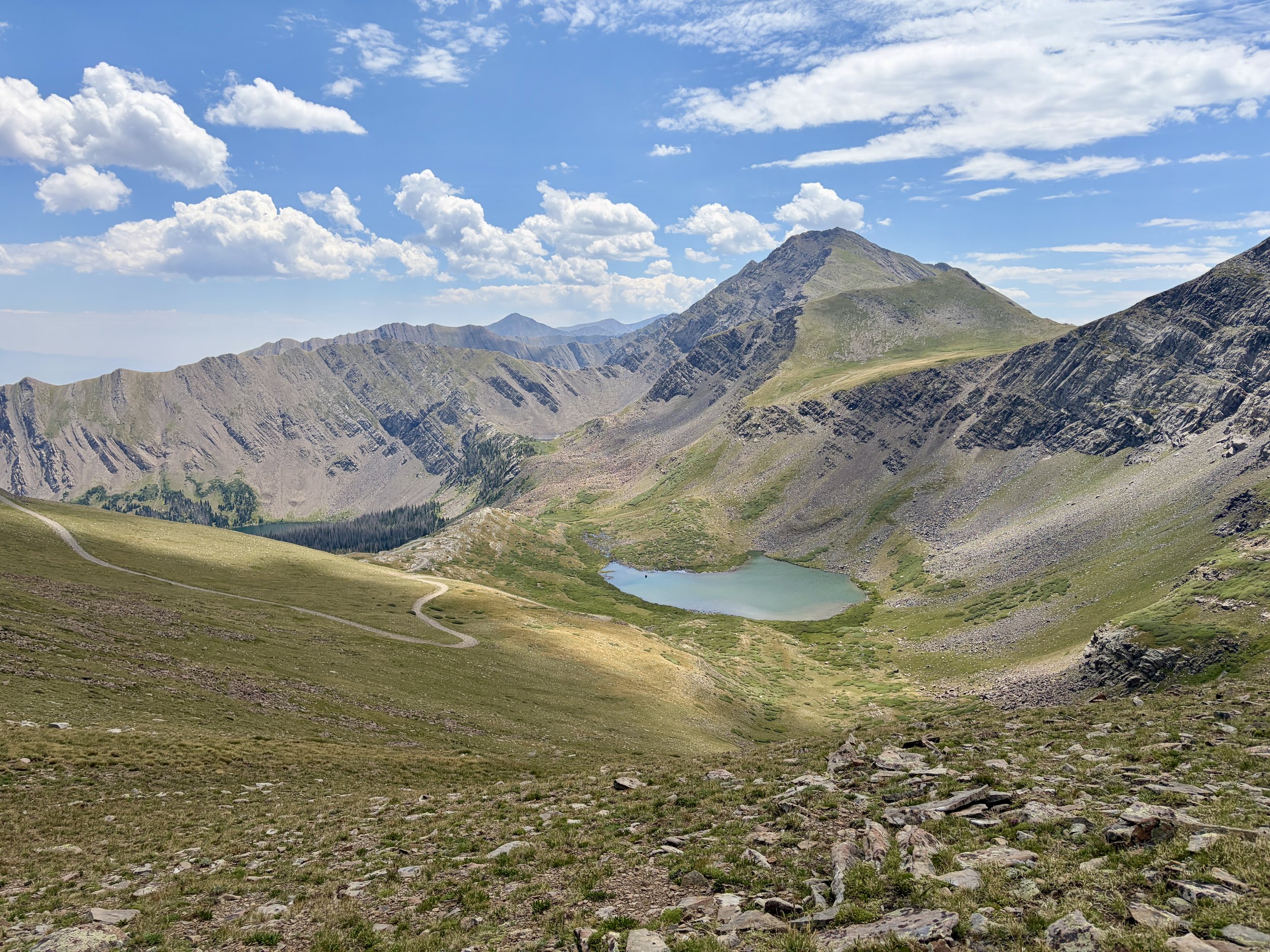
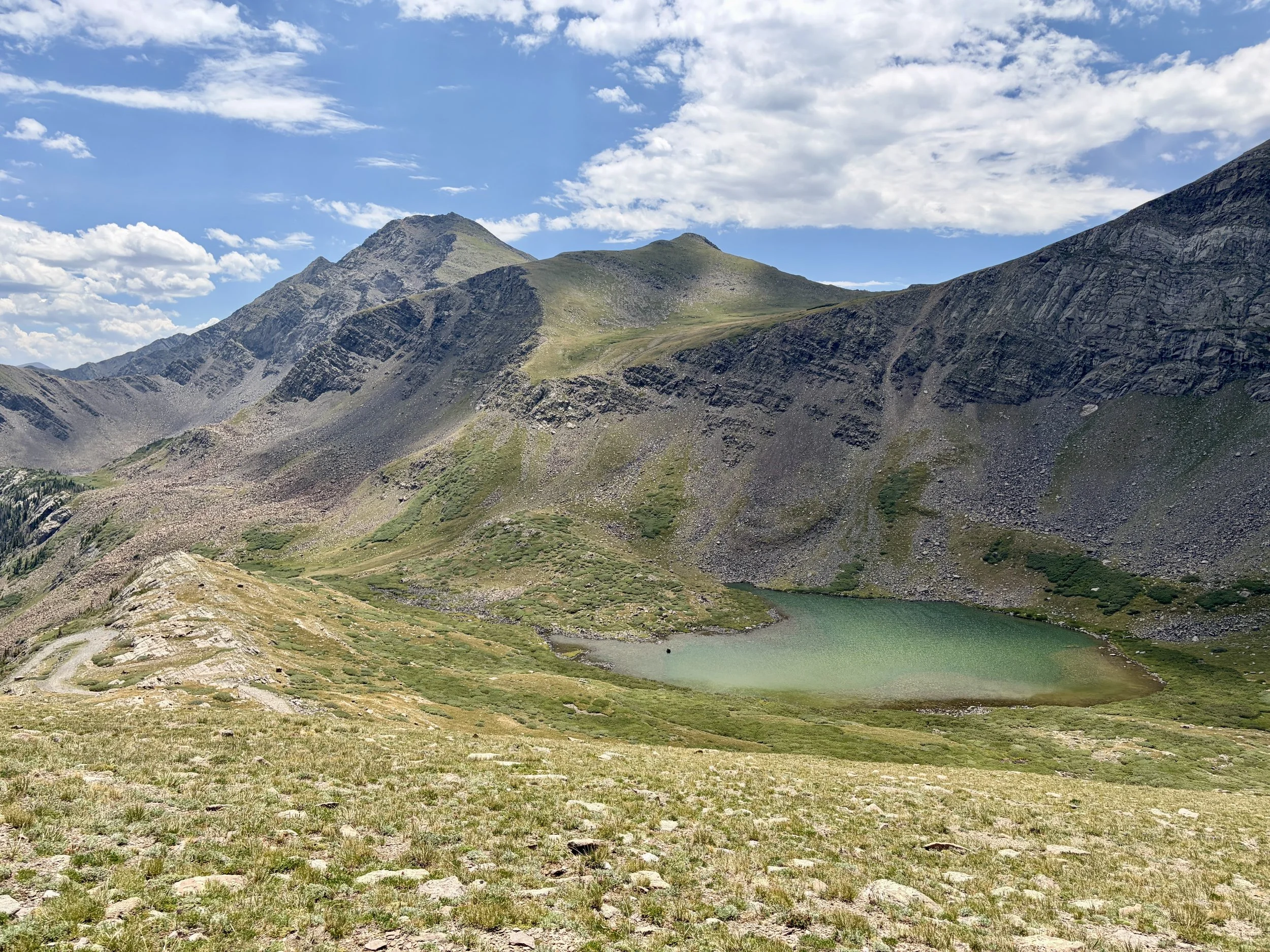
Looking south just before Phantom Terrace
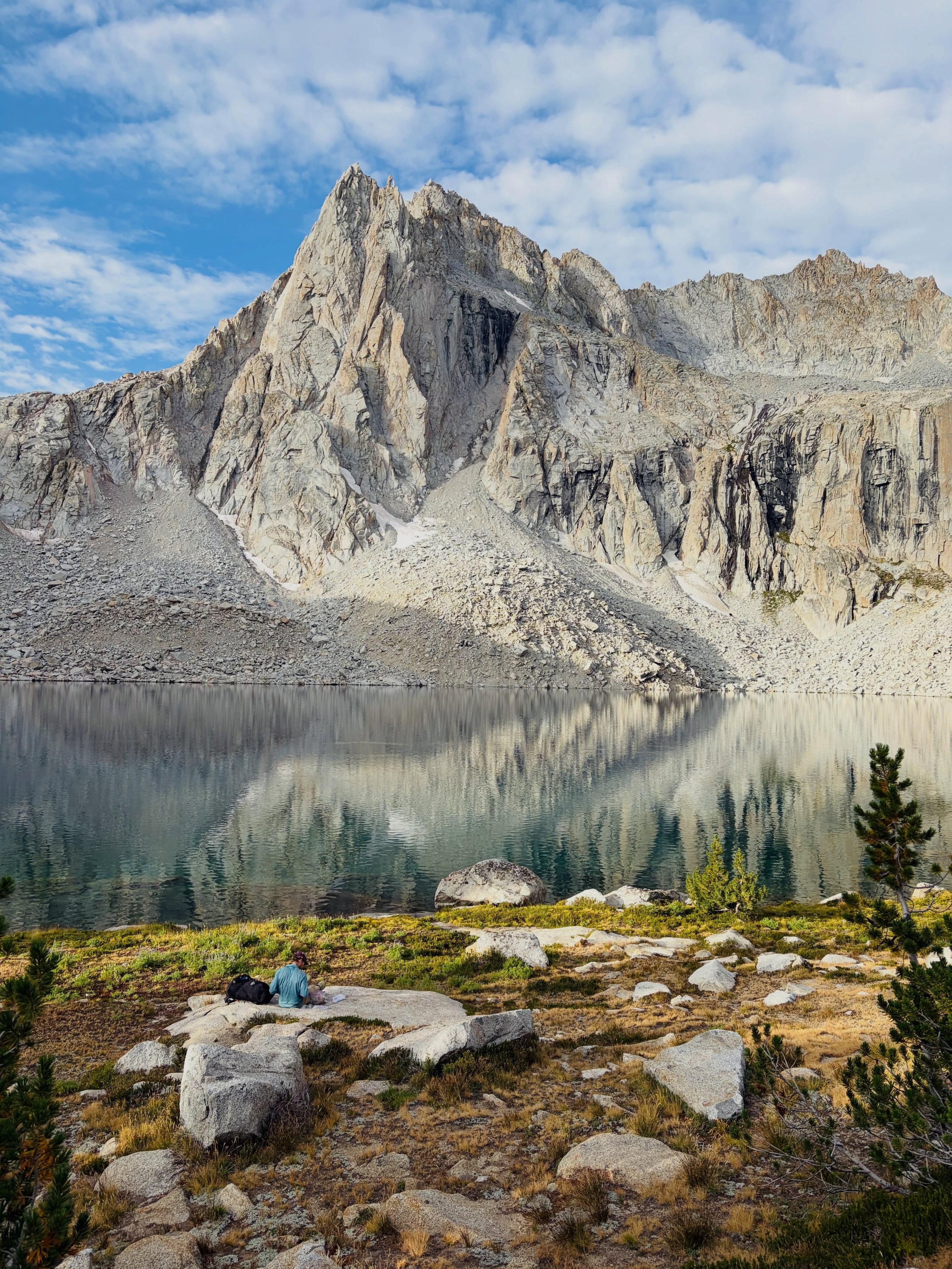
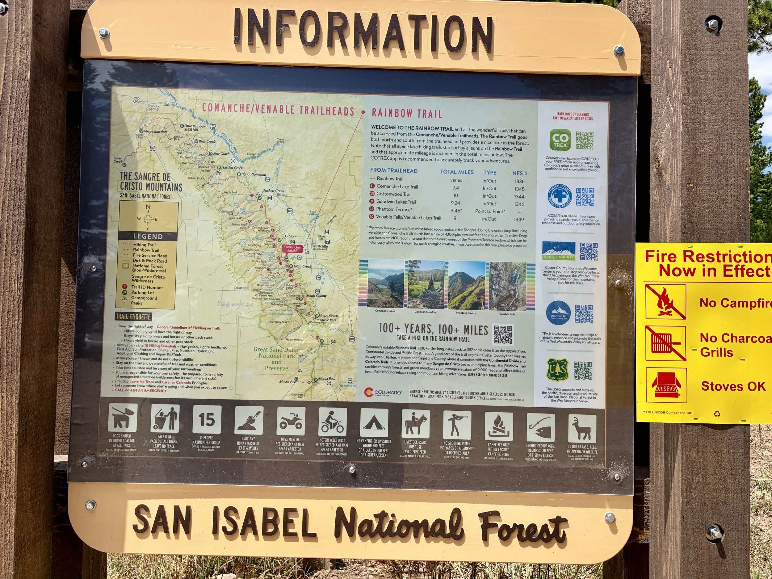
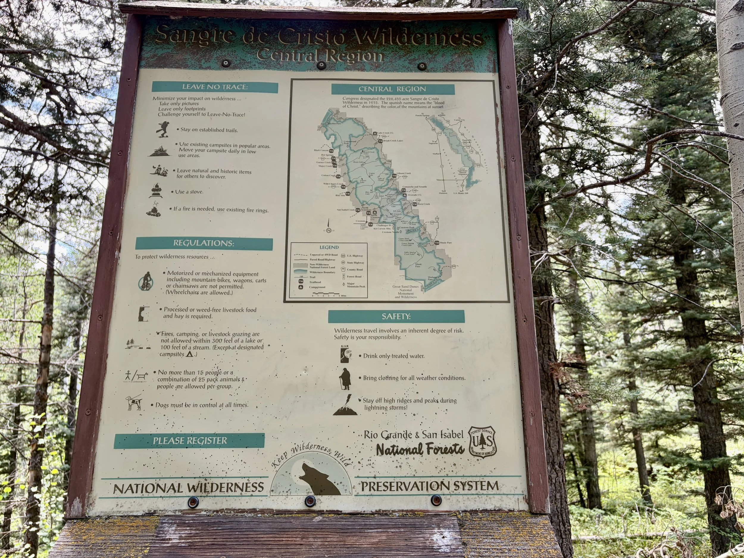
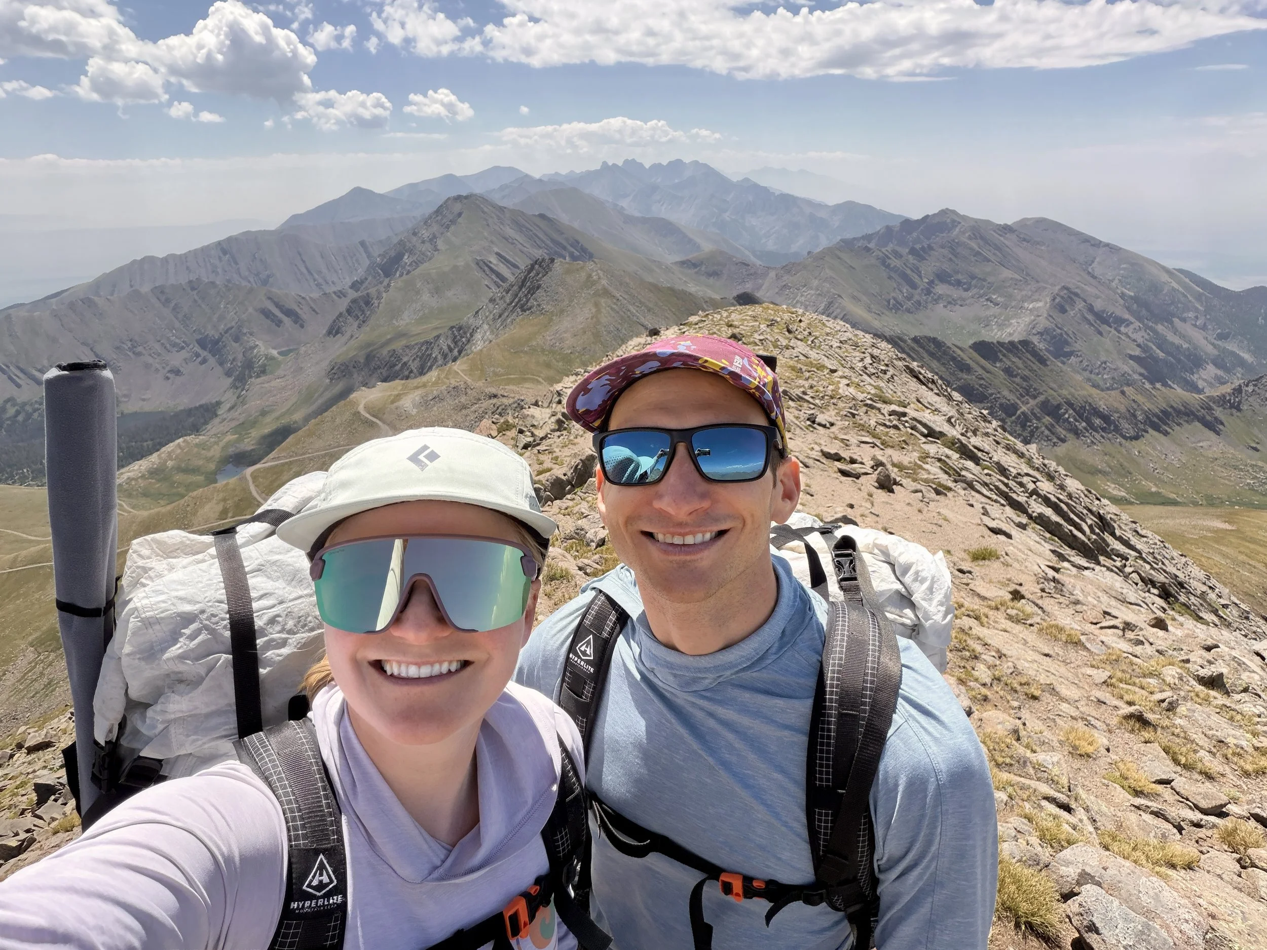
The Sangre de Cristo Wilderness is one of the most underrated Wilderness Areas in Colorado. Mike and I have explored some of the range from the west side near Crestone, but had never explored the east side of the range near Westcliffe. We decided to do a loop hike from the Venable Comanche Trailhead that would pass by many beautiful lakes and would allow us to summit a few 13ers along the way. The loop would take us 4 days/3 nights and would involve 28.4 miles of hiking with 9550 ft of elevation gain.
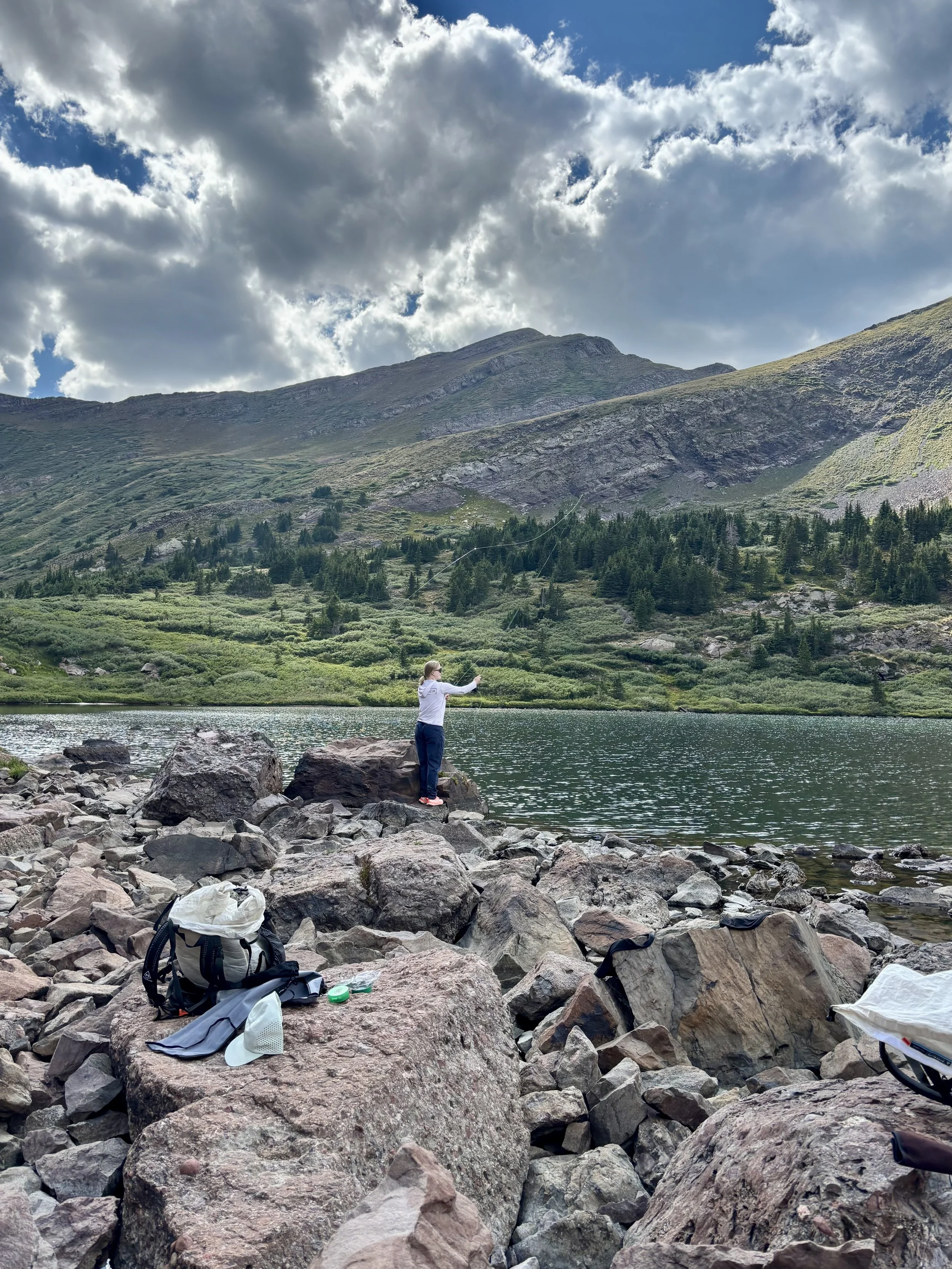
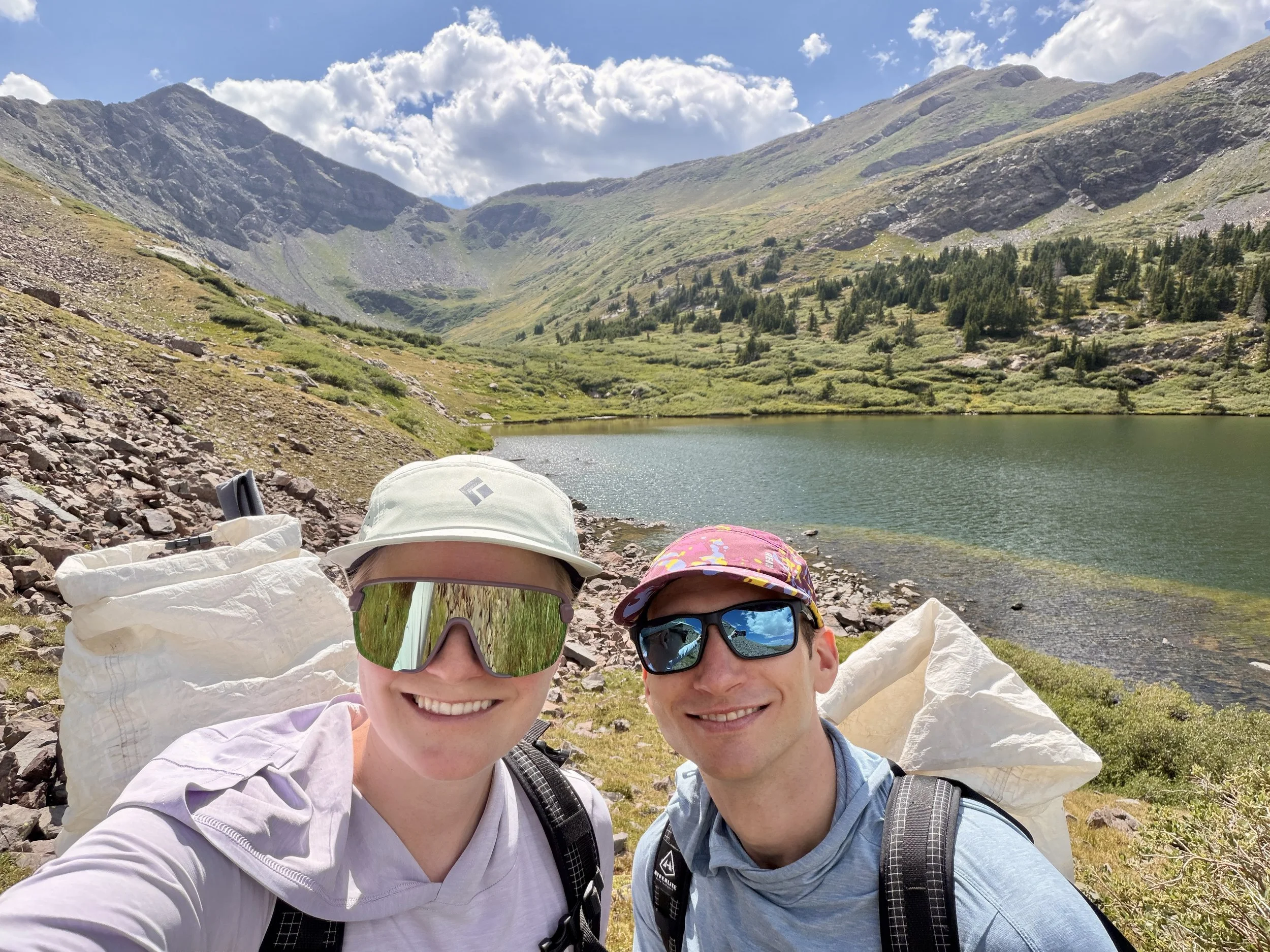
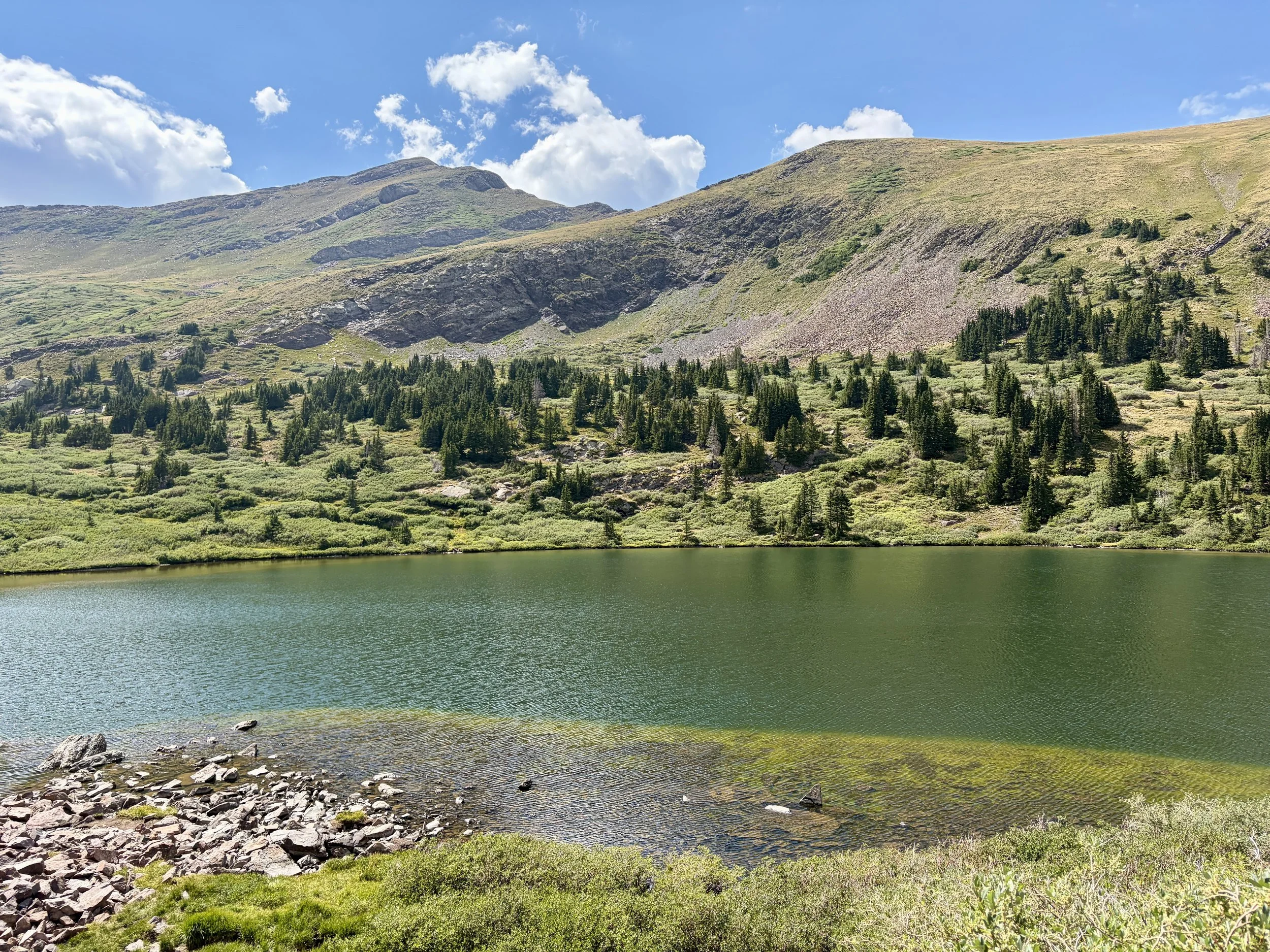
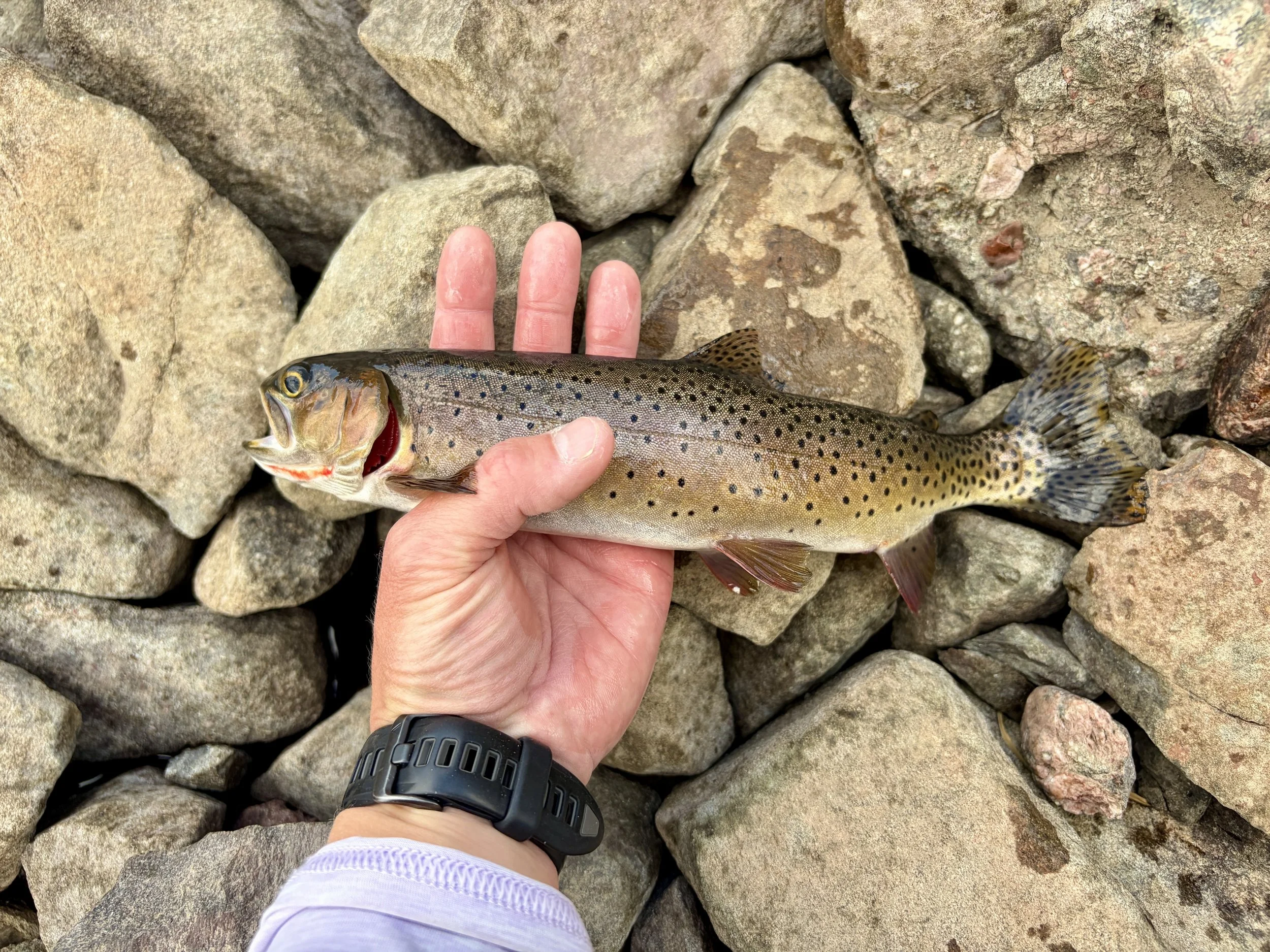
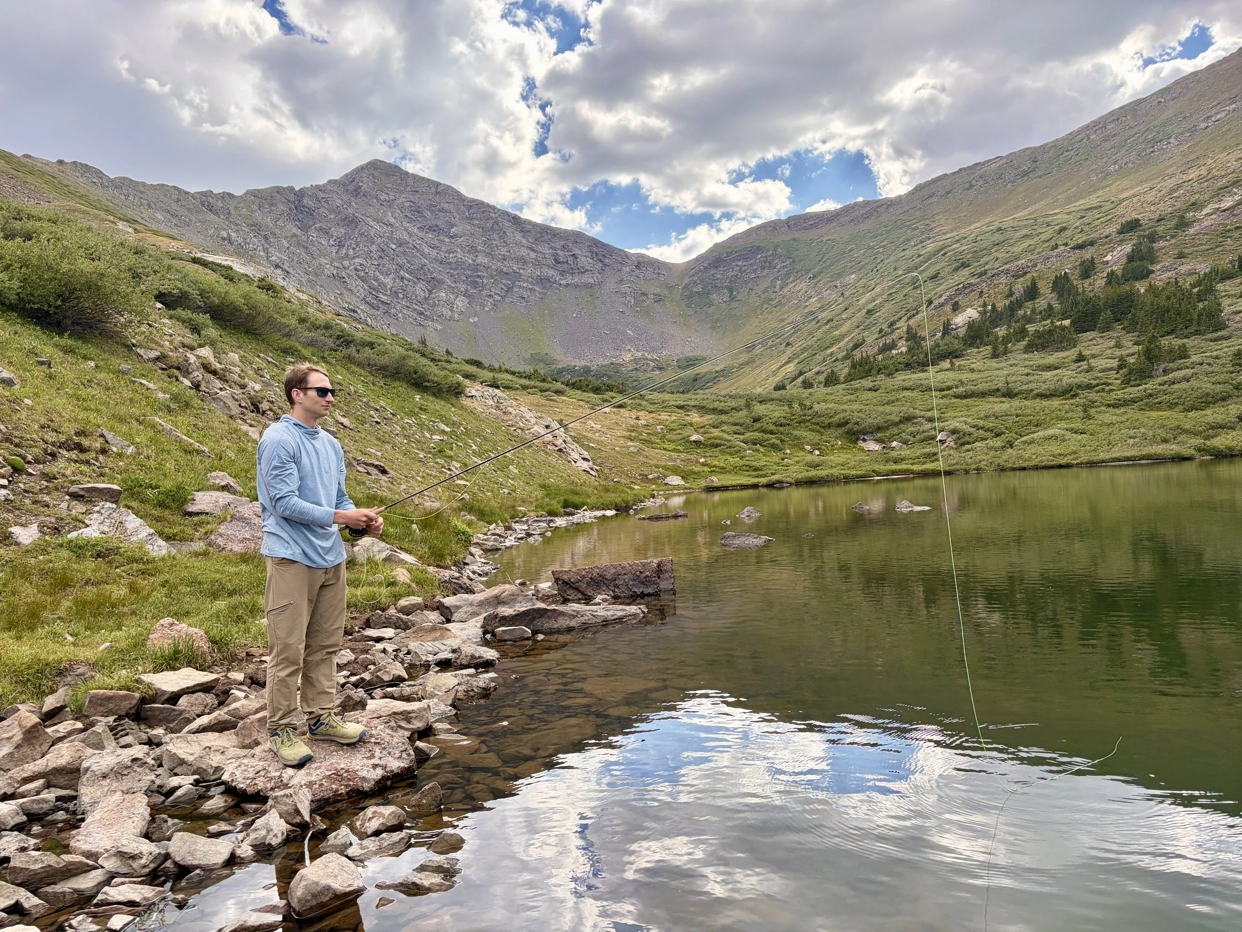
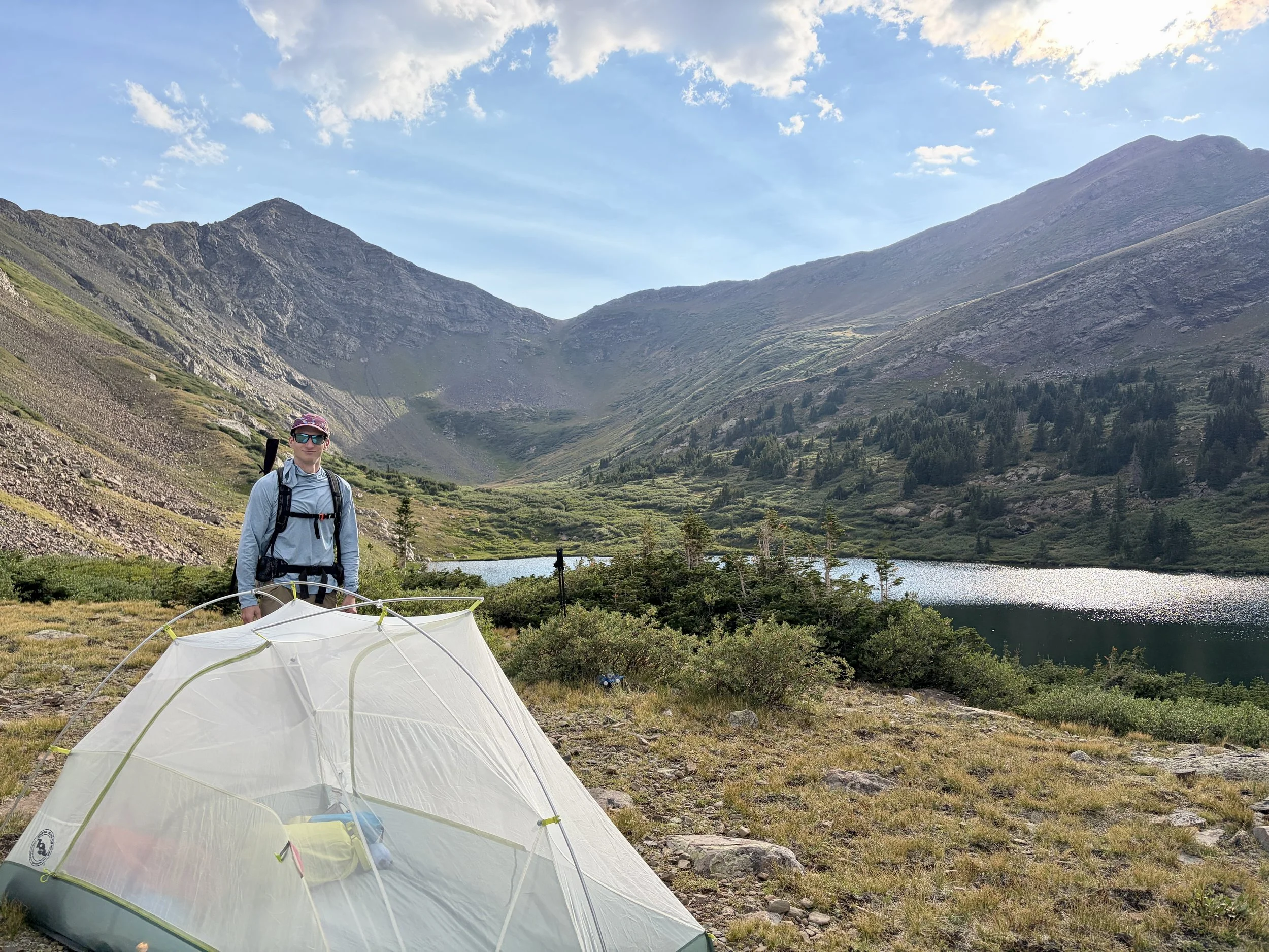
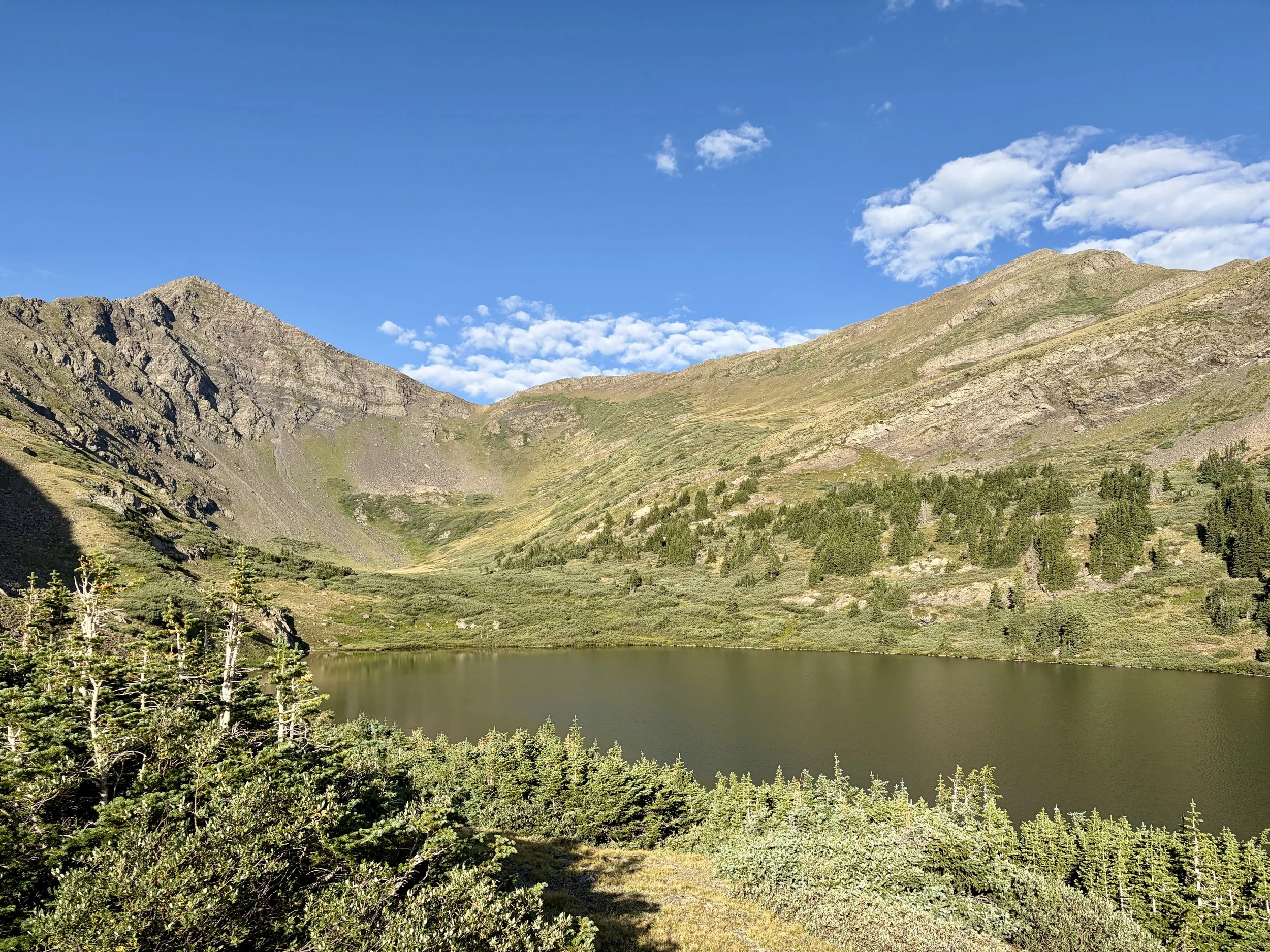
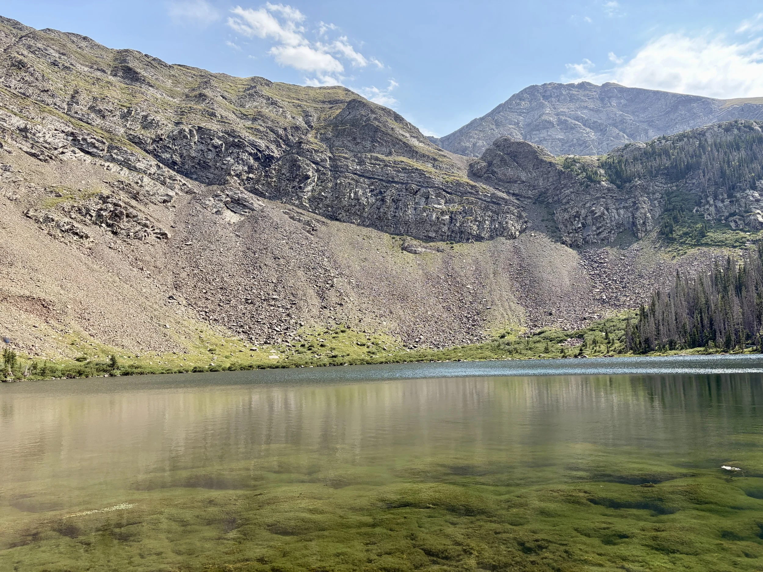
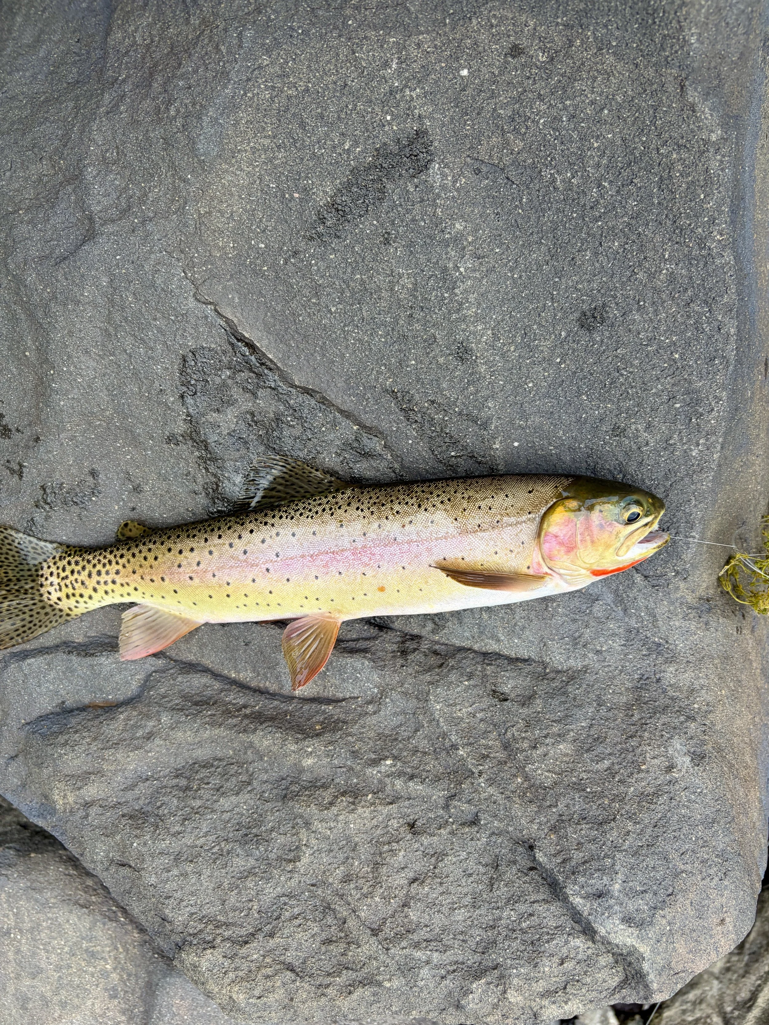
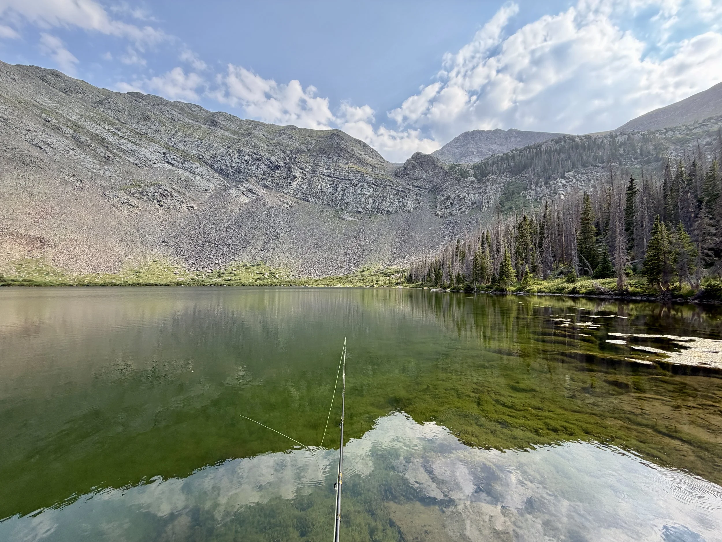
On the first day, we drove from our house to the trailhead and began hiking around noon. We only planned on hiking 4 miles that day so we weren’t in a rush, but it did involve gaining 2700 ft of elevation gain over those 4 miles so it was reasonably steep. To add on to that, the temperatures were quite warm, in the 80s, so we found those 4 miles to be quite tiring. We arrived at Comanche Lake that afternoon and picked a site to set up camp. After setting up camp, a dip into the lake was calling our name after profusely sweating most of the afternoon. The lake was quite cold, which was welcome at that point! Afterwards, I set up my fishing pole and tried my luck at catching some fish. Turns out the fish were quite hungry and were rising that afternoon. I caught 3 fish, all on dry flies which was exciting! All 3 fish were released back into the lake. After a few hours of fishing, we were hungry and headed back to camp to make dinner. We watched the sunset and then headed to bed.
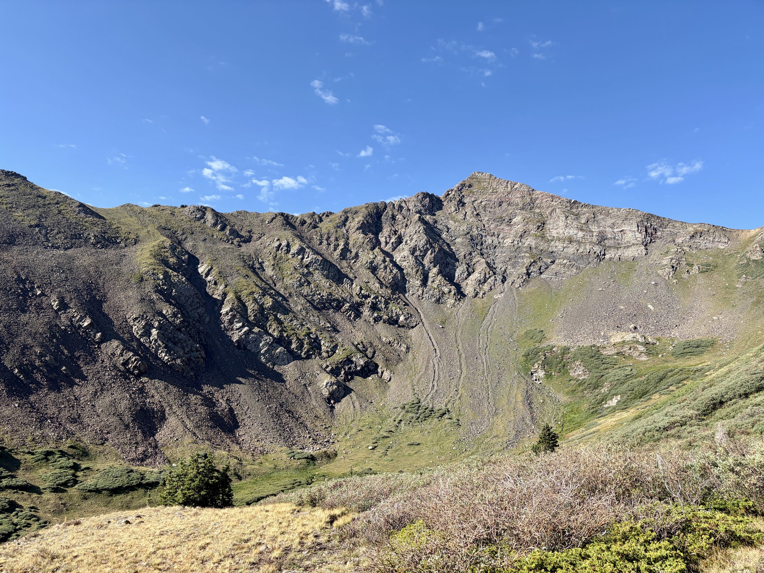
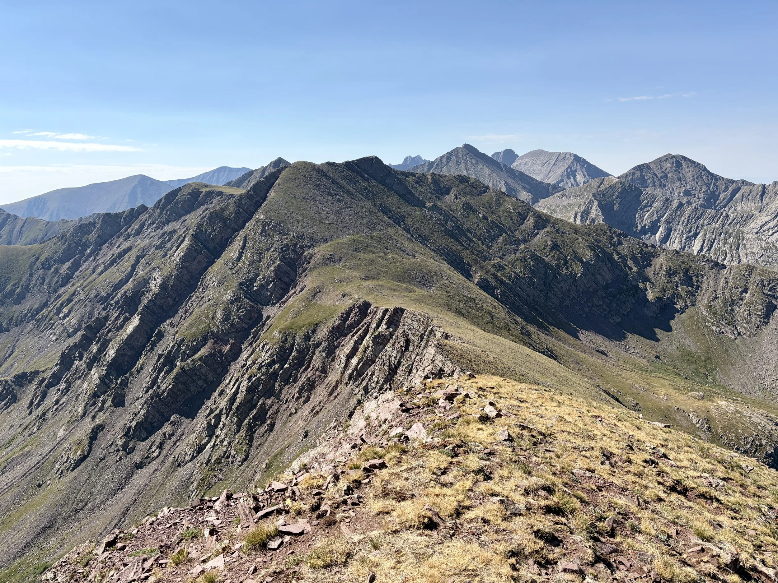
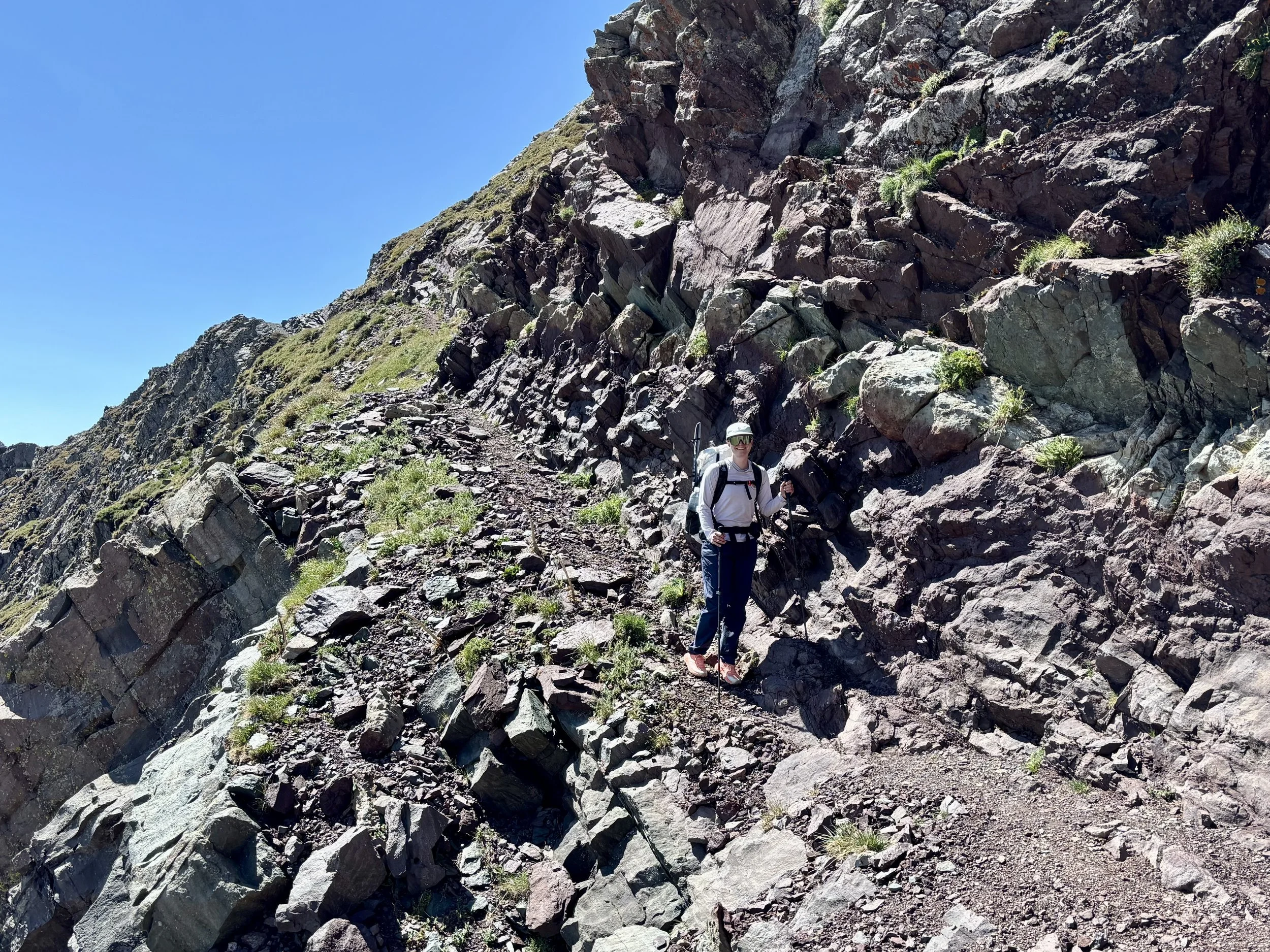
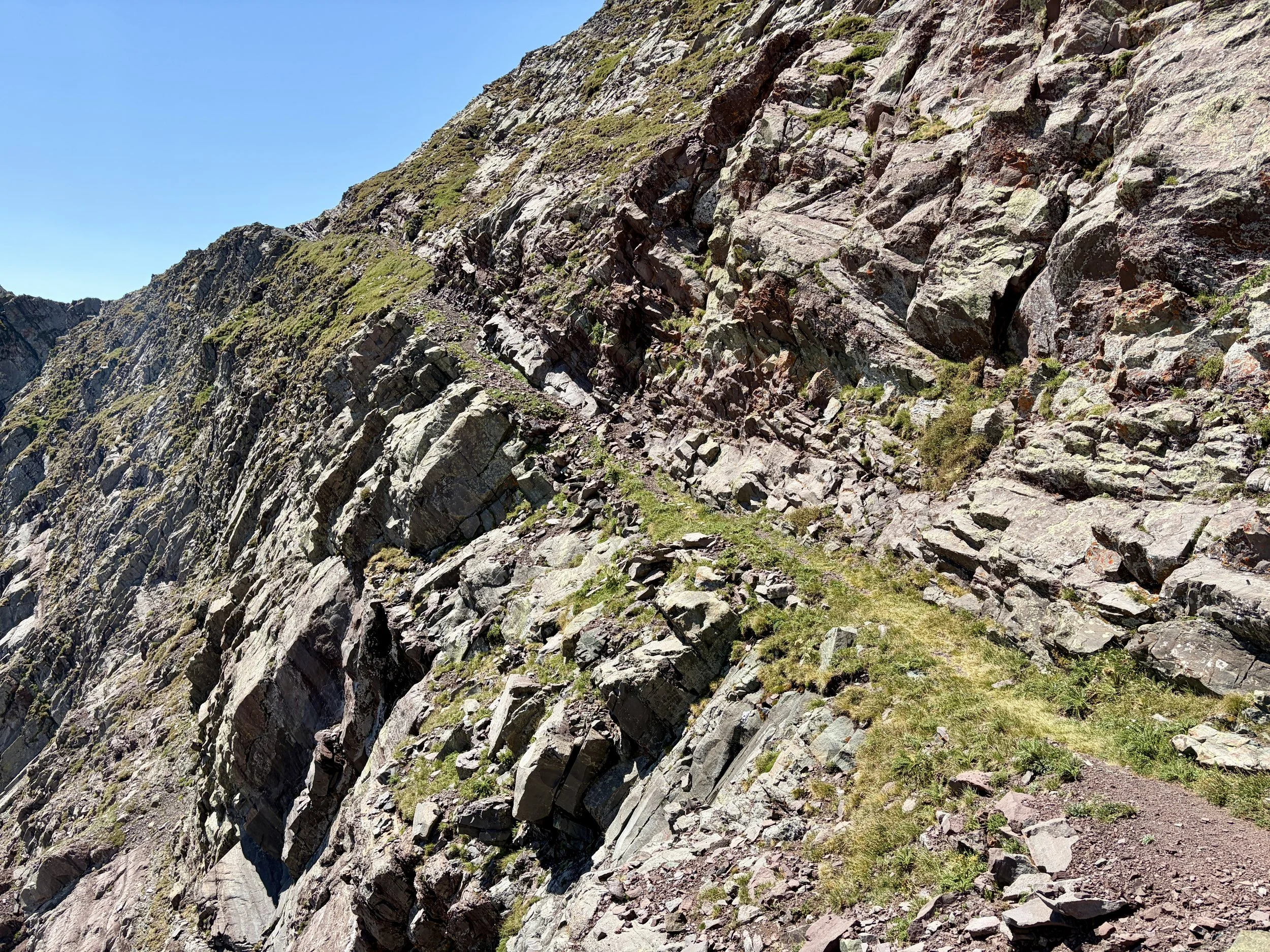
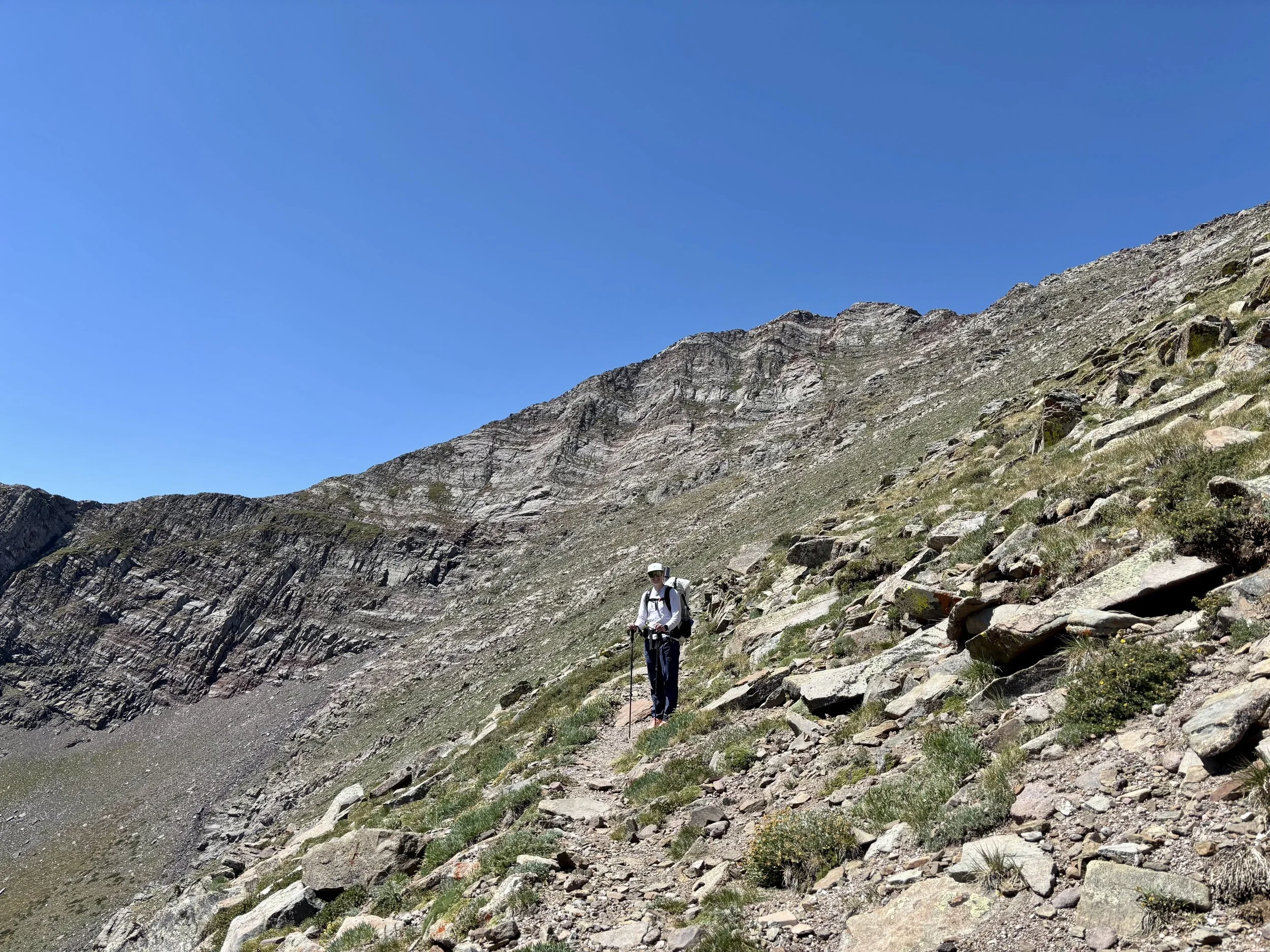
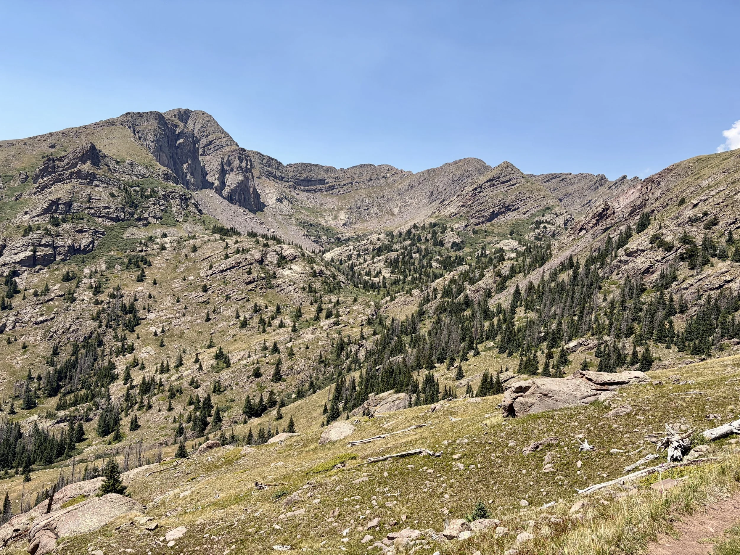
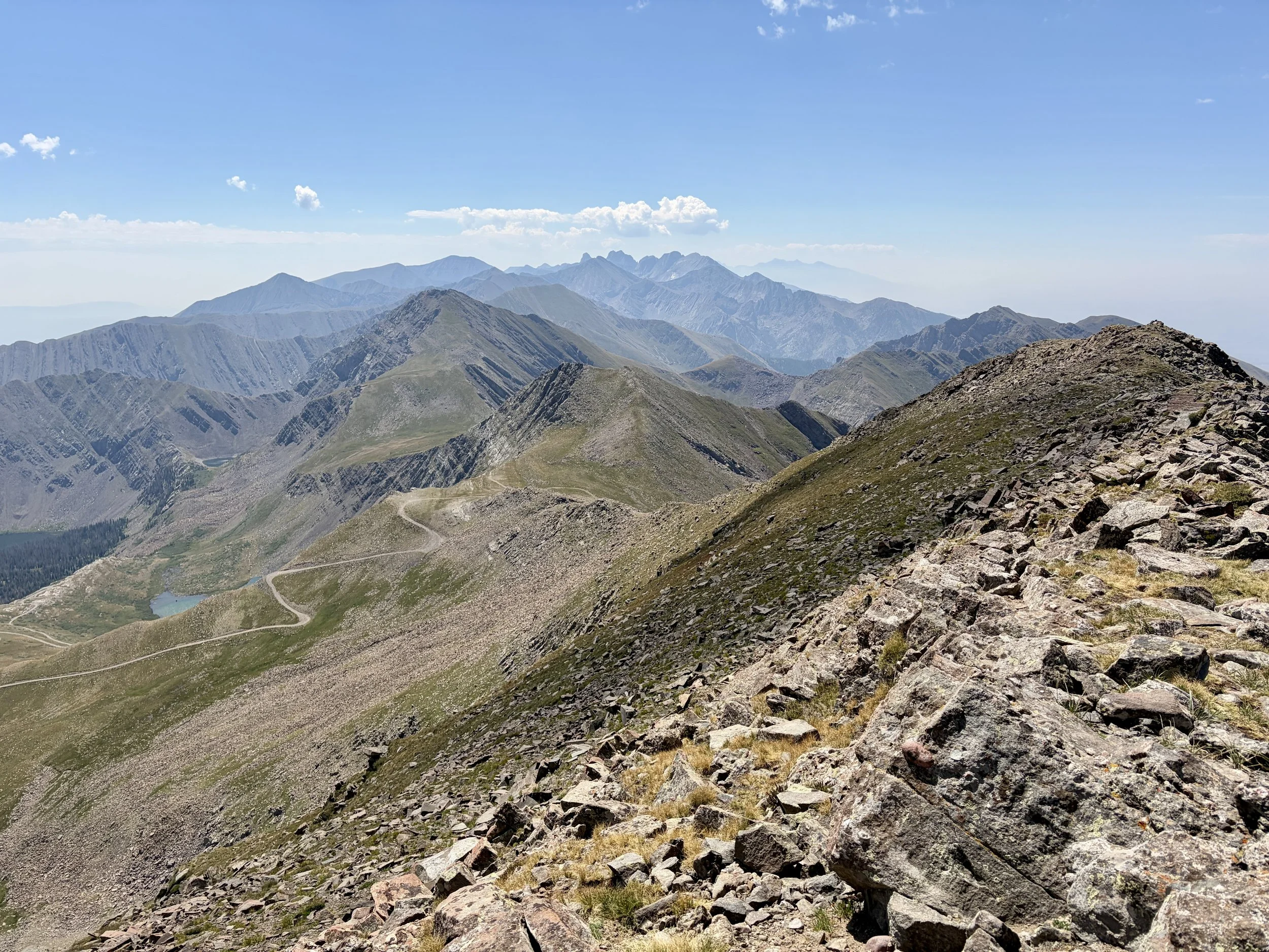
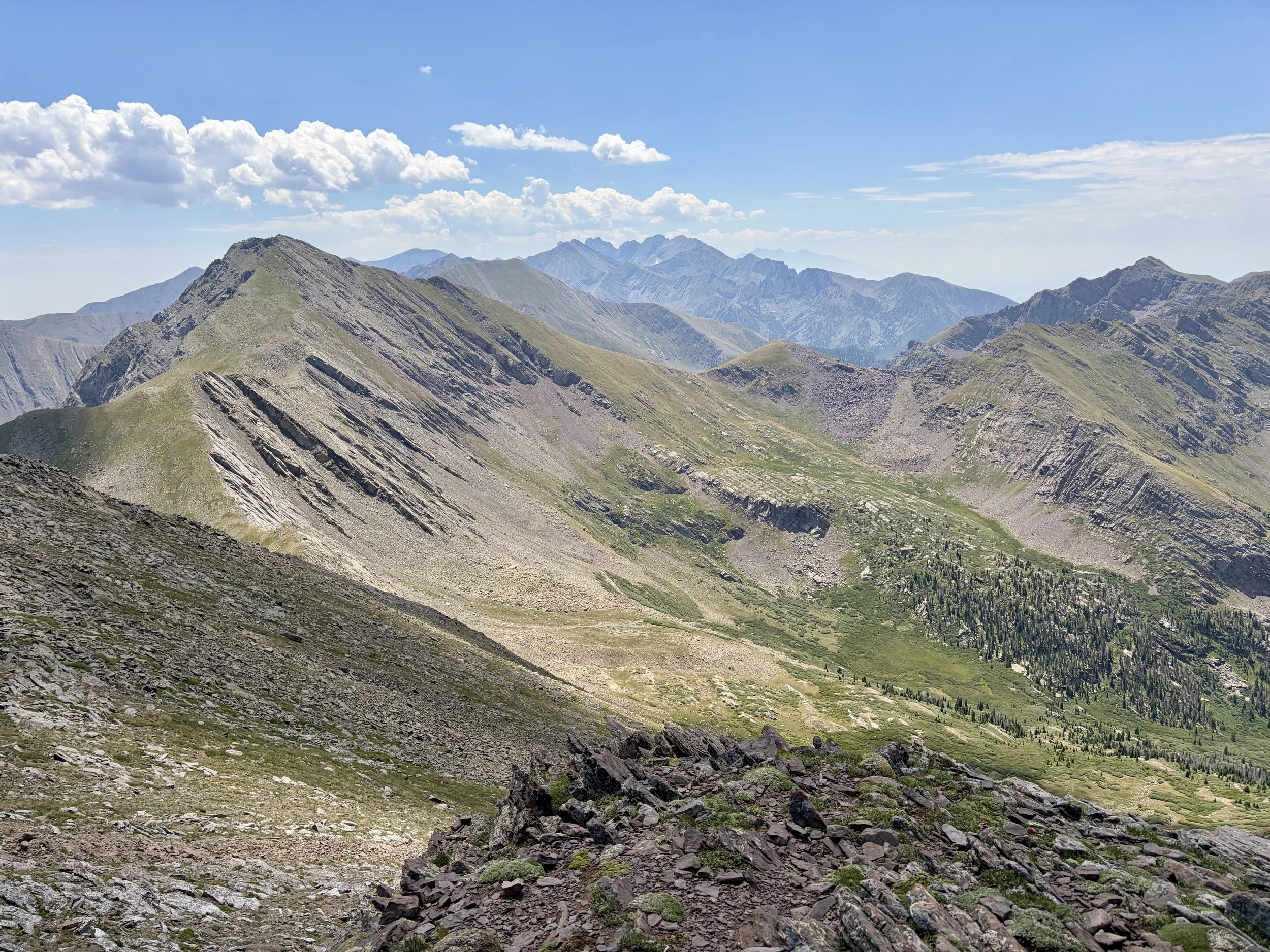
The next morning we woke up early to try to get some miles in before it got too hot. We would continue our loop up past Comanche Lake and when we got to the pass above the lake, we decided to summit Comanche Peak. This was my favorite peak of the trip as I really enjoyed the views. After a snack on the peak, we headed back down to the trail which made its way over to Phantom Terrace. As we approached Phantom Terrace, from afar the trail just looked like a series of cliffs. I was curious to see what the trail would look like as we got closer. As we started hiking along Phantom Terrace, the trail always materialized in front of us and would be wider than it looked like it would be from farther away. I found hiking across it to be quite fun and not as scary as many reports online make it seem.
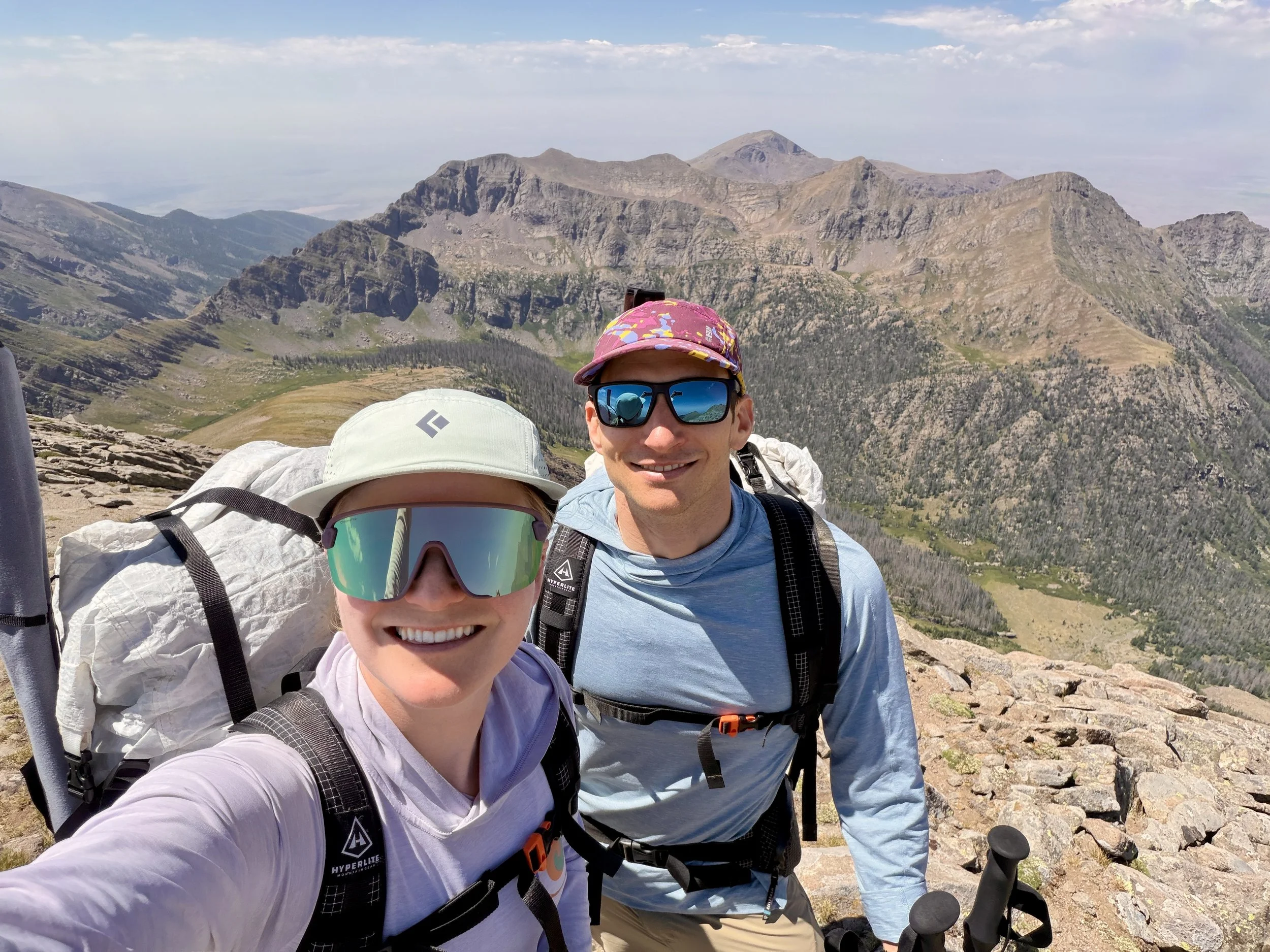
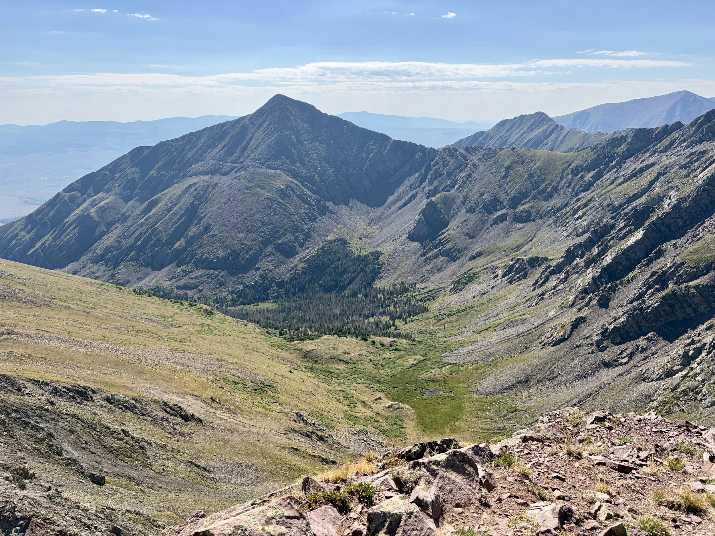
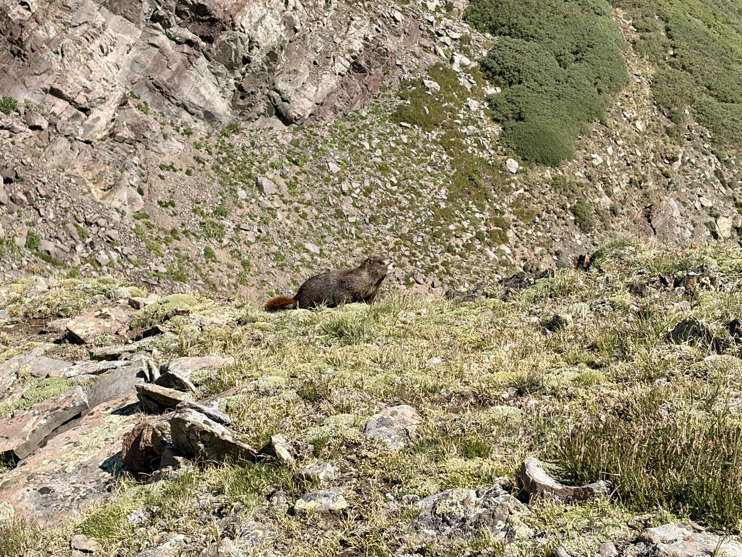
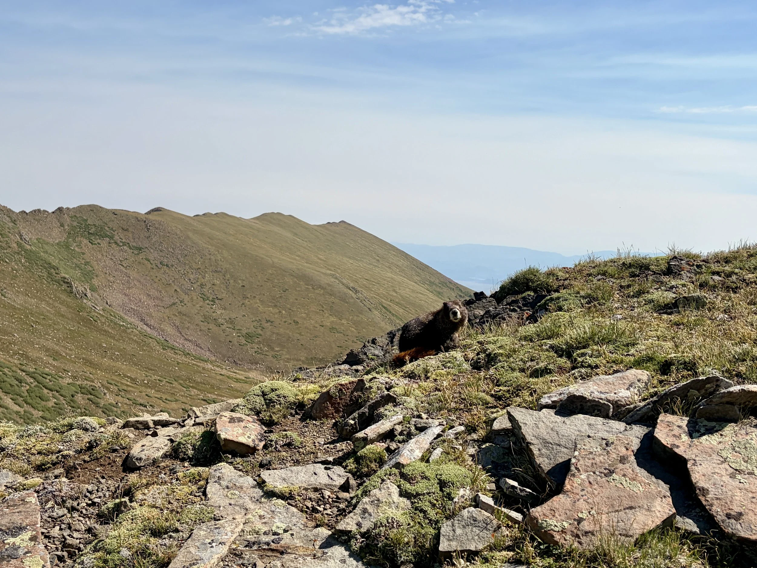
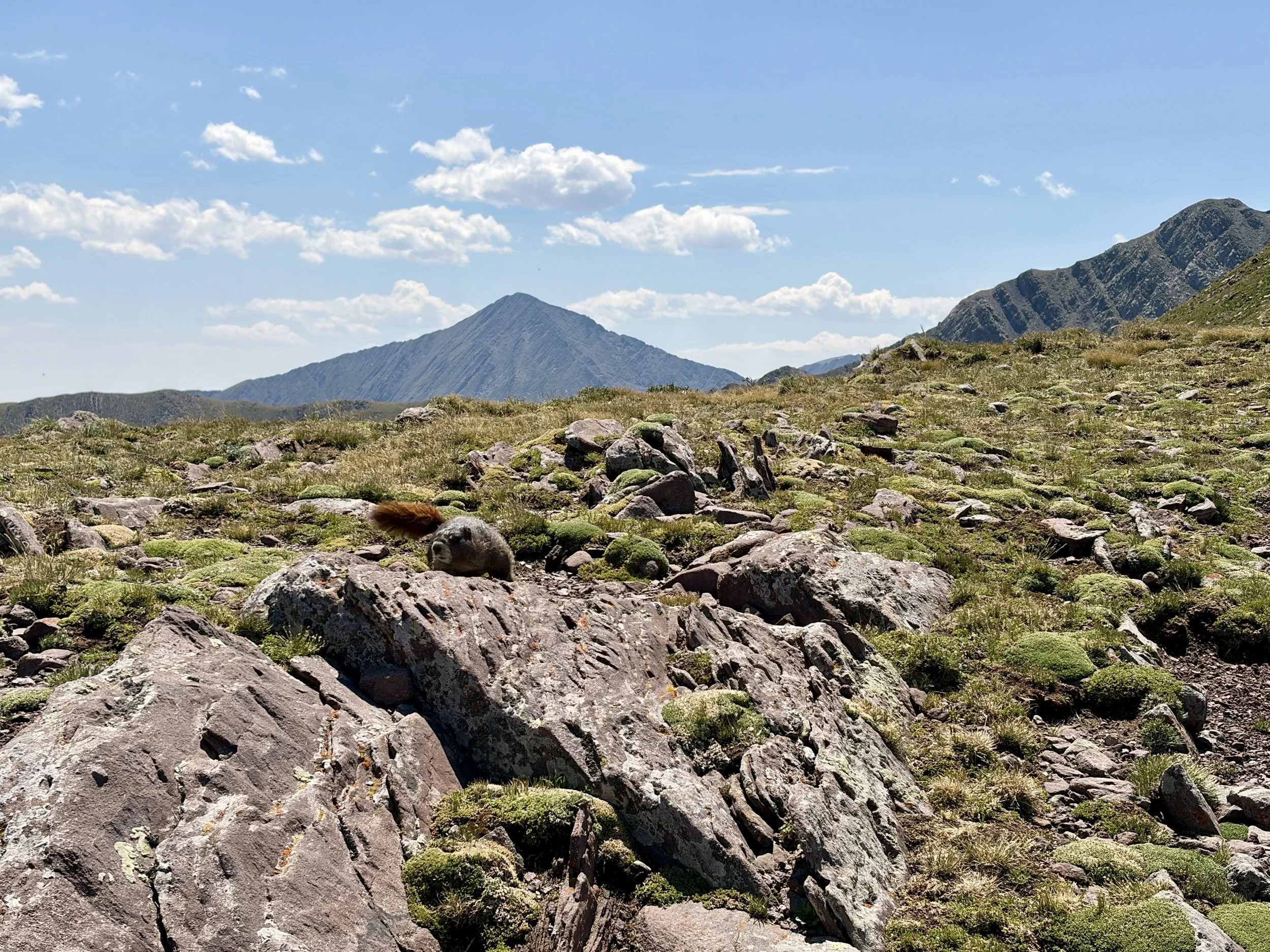
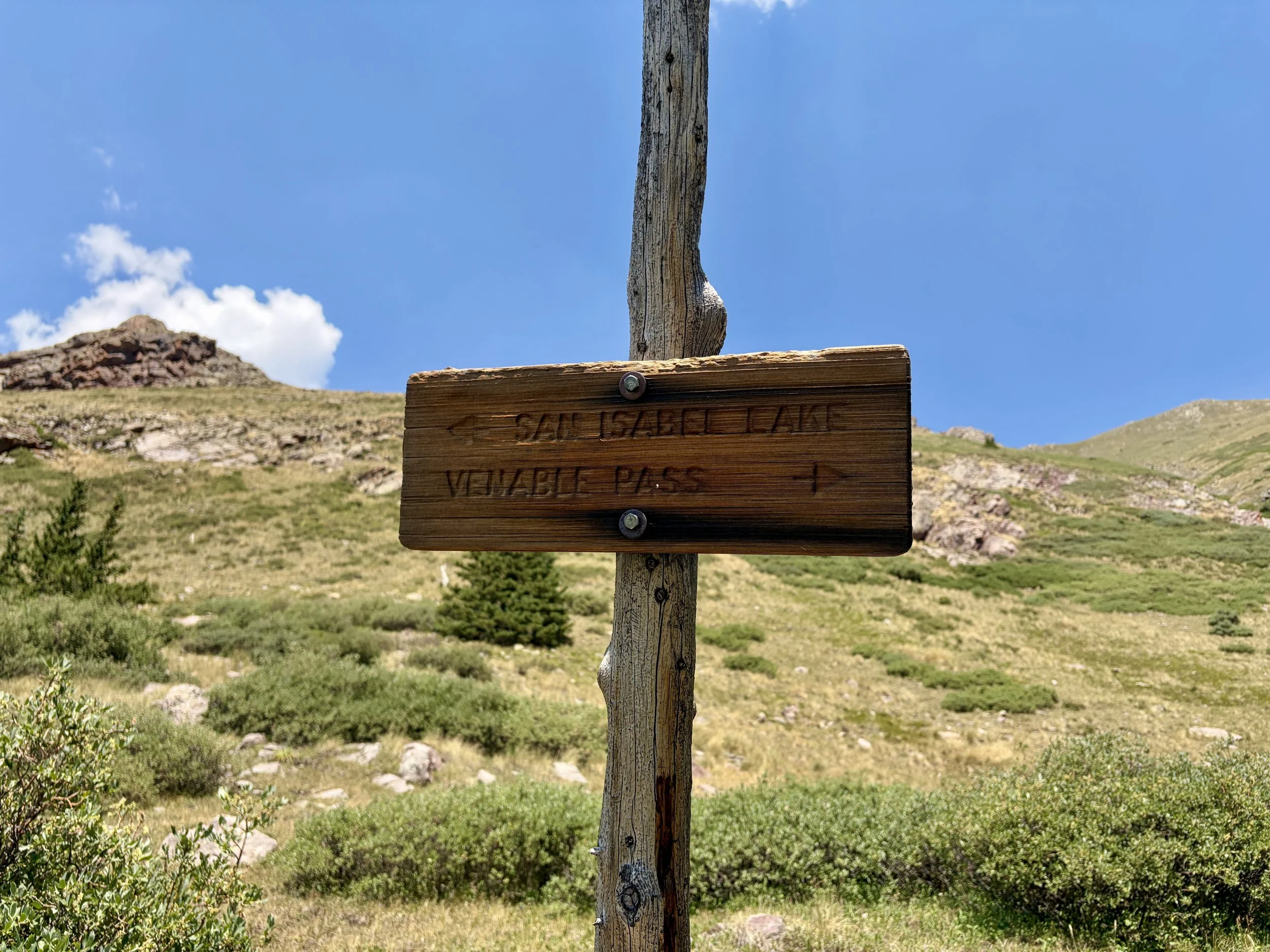
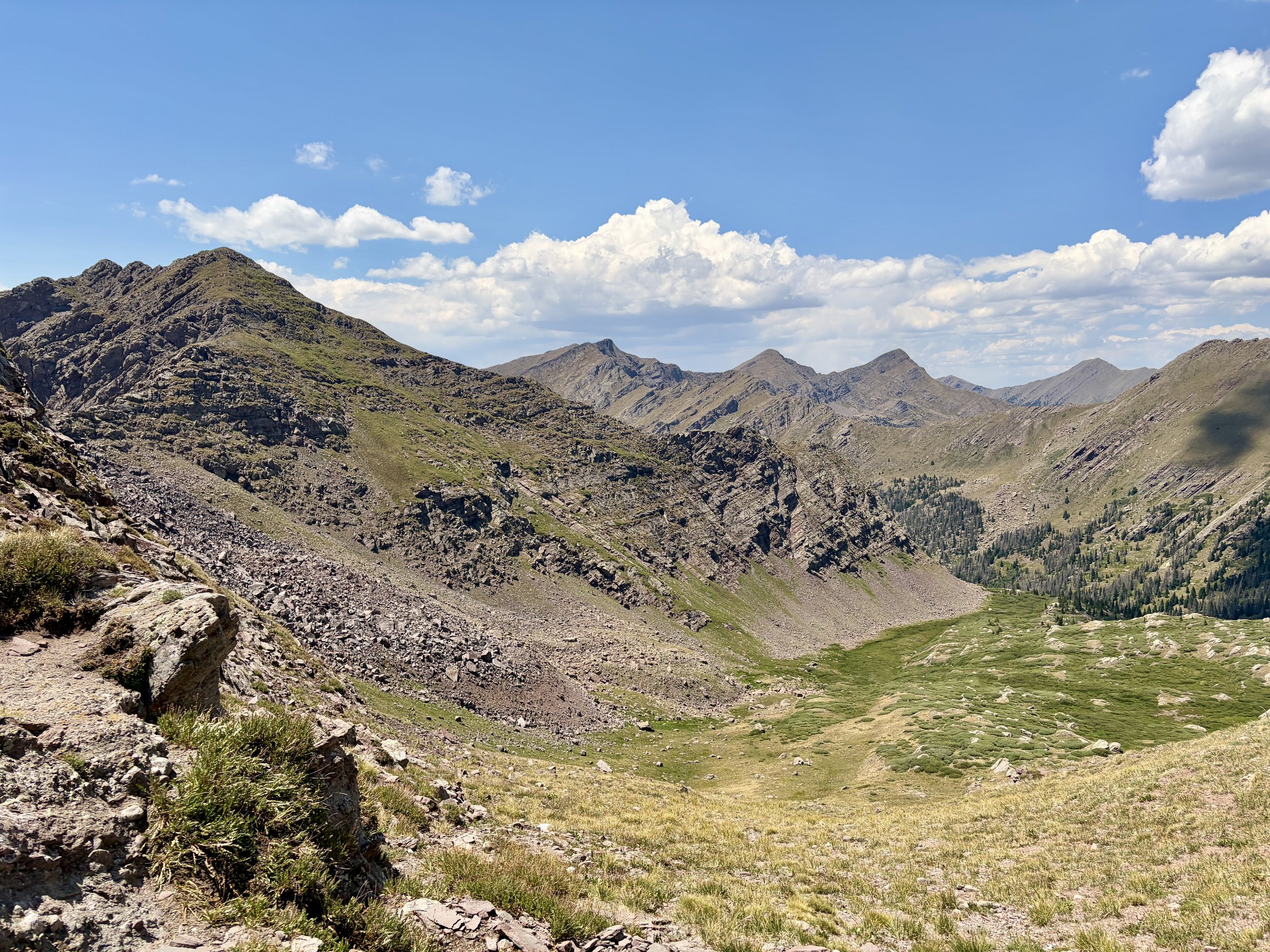
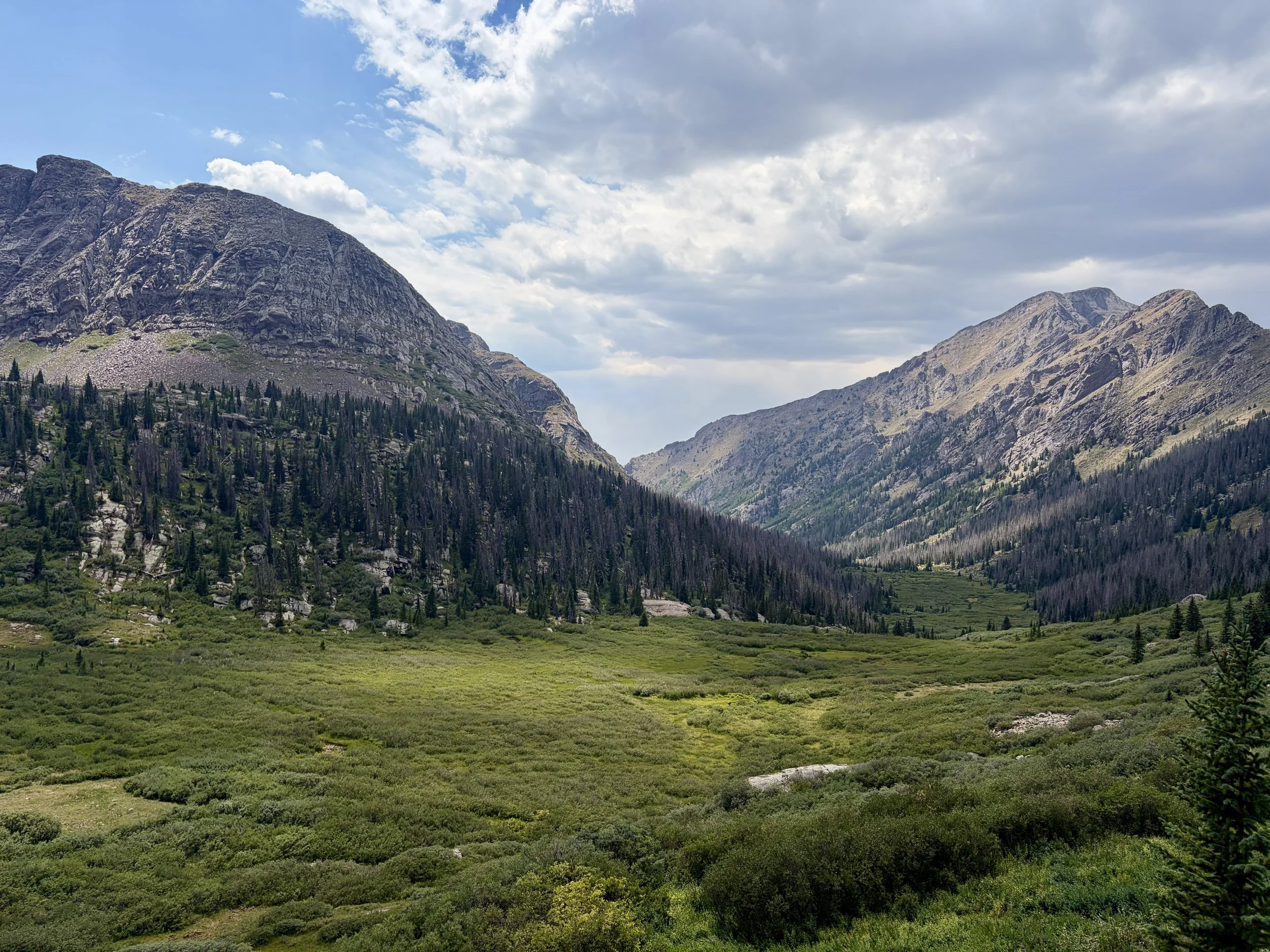
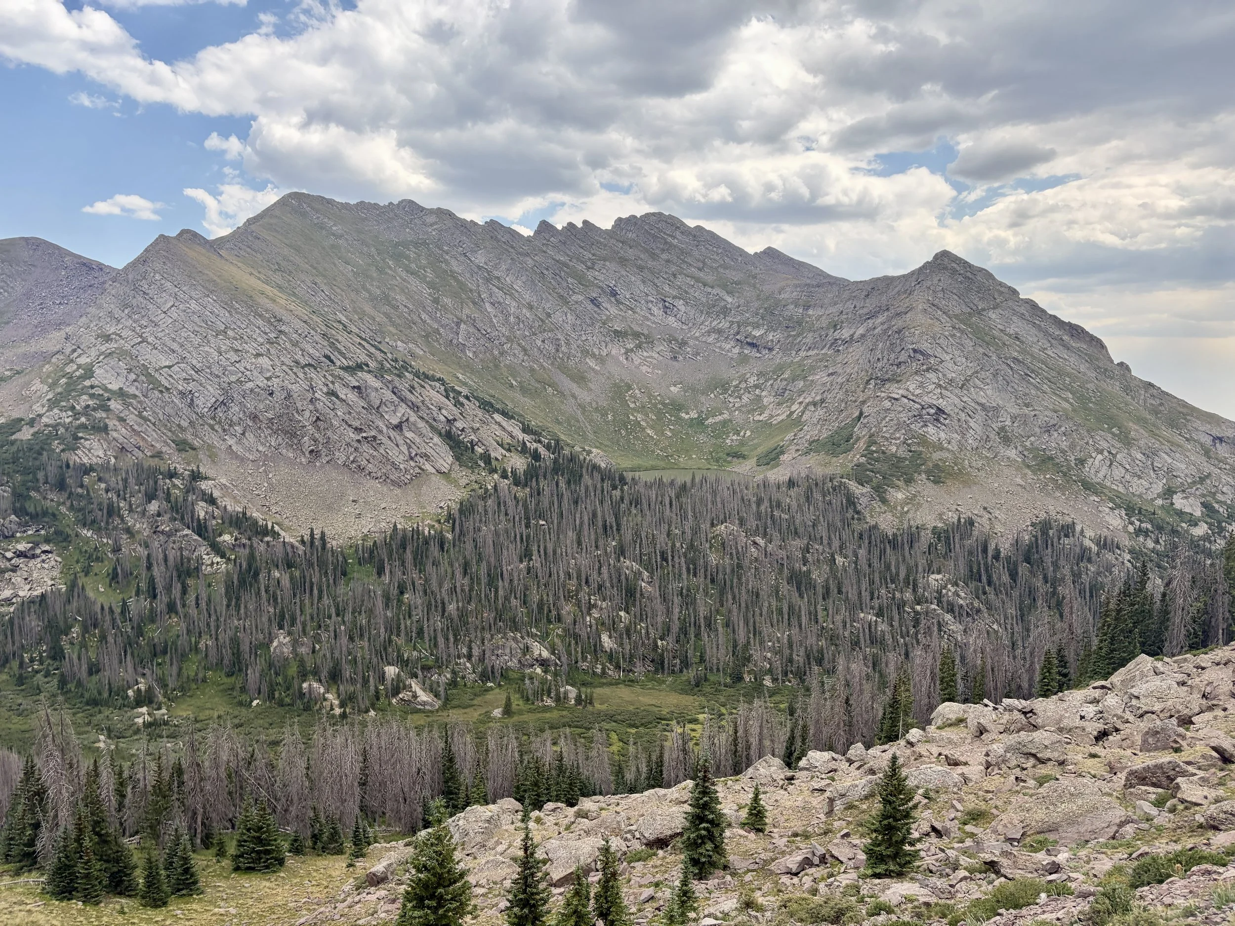
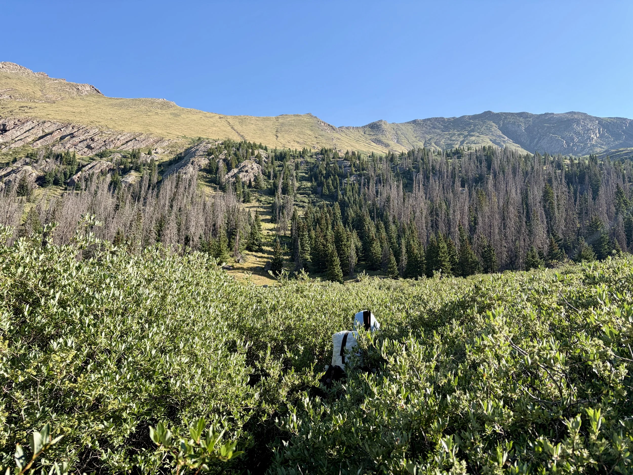
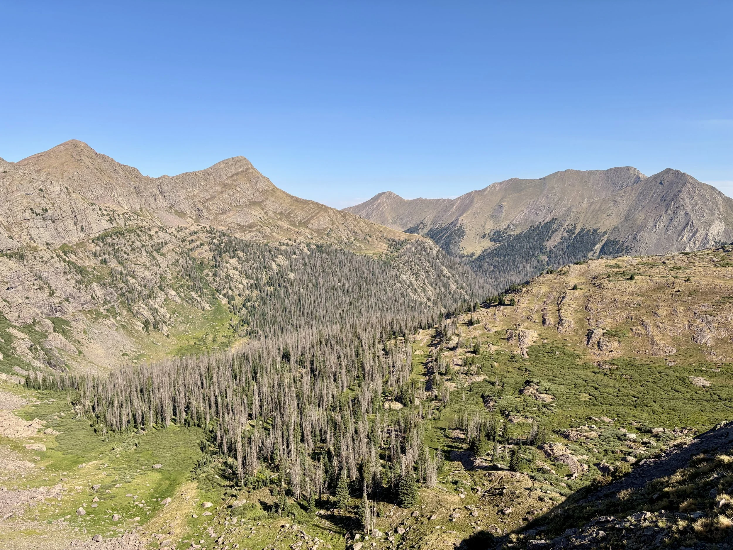
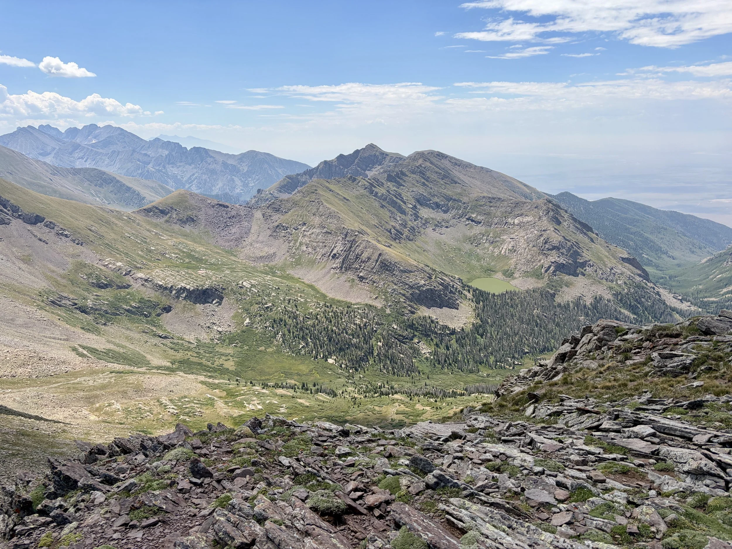
We soon found ourselves above Venable Lakes and turned left to head up to Venable Pass. We took a break at this pass and had numerous marmot friends trying to help us with our snacks. I’ve never seen so many marmots on one trip in my life. The trail then descended off the other side of the pass, and we lost elevation quickly, just to realize we would be regaining it shortly as we made our way towards another pass to the north. As we descended that pass, we enjoyed views of Hermit Peak. Our objective for that day was to make it to San Isabel Lake. We looked to see if we could find a “shortcut” to the lake from the pass we were on, but we ultimately determined the combination of very dense willows and and complicated terrain would make it unlikely it’d save any time and would probably end in use of many four letter words. So we stayed on trail and wrapped around the basin and dropped down towards the San Isabel Trail when it intersected with the trail we were on. At the bottom of the drainage, willows were very abundant, and it was difficult to find a trail at times, but it did exist. Willows have largely taken over it though so be prepared for some willow-whacking. As we started hiking up the other side of the drainage, a storm moved in and we took cover for 10 minutes under some trees. Once it seemed the storm had passed, we continued to the lake and set up camp.
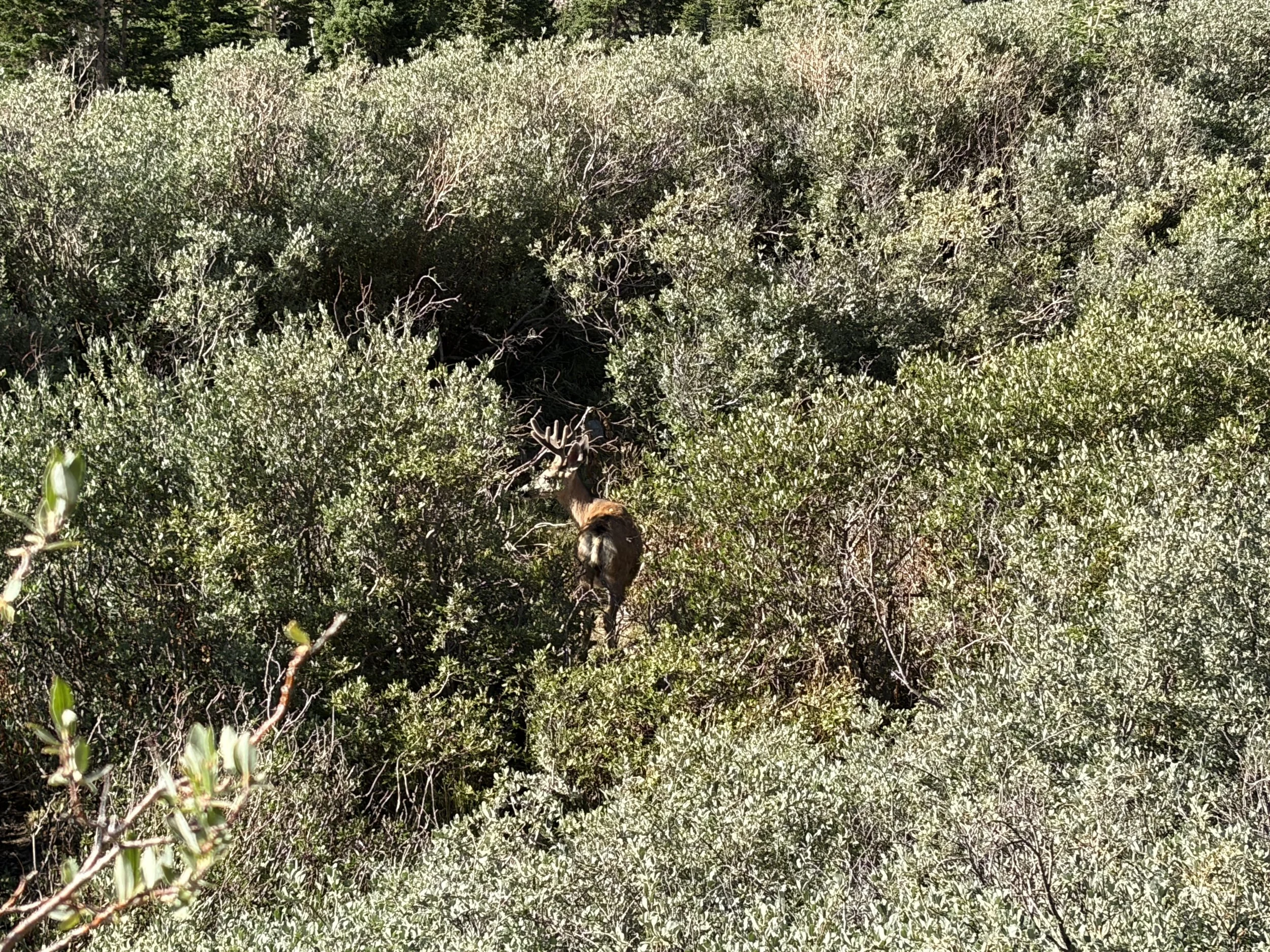
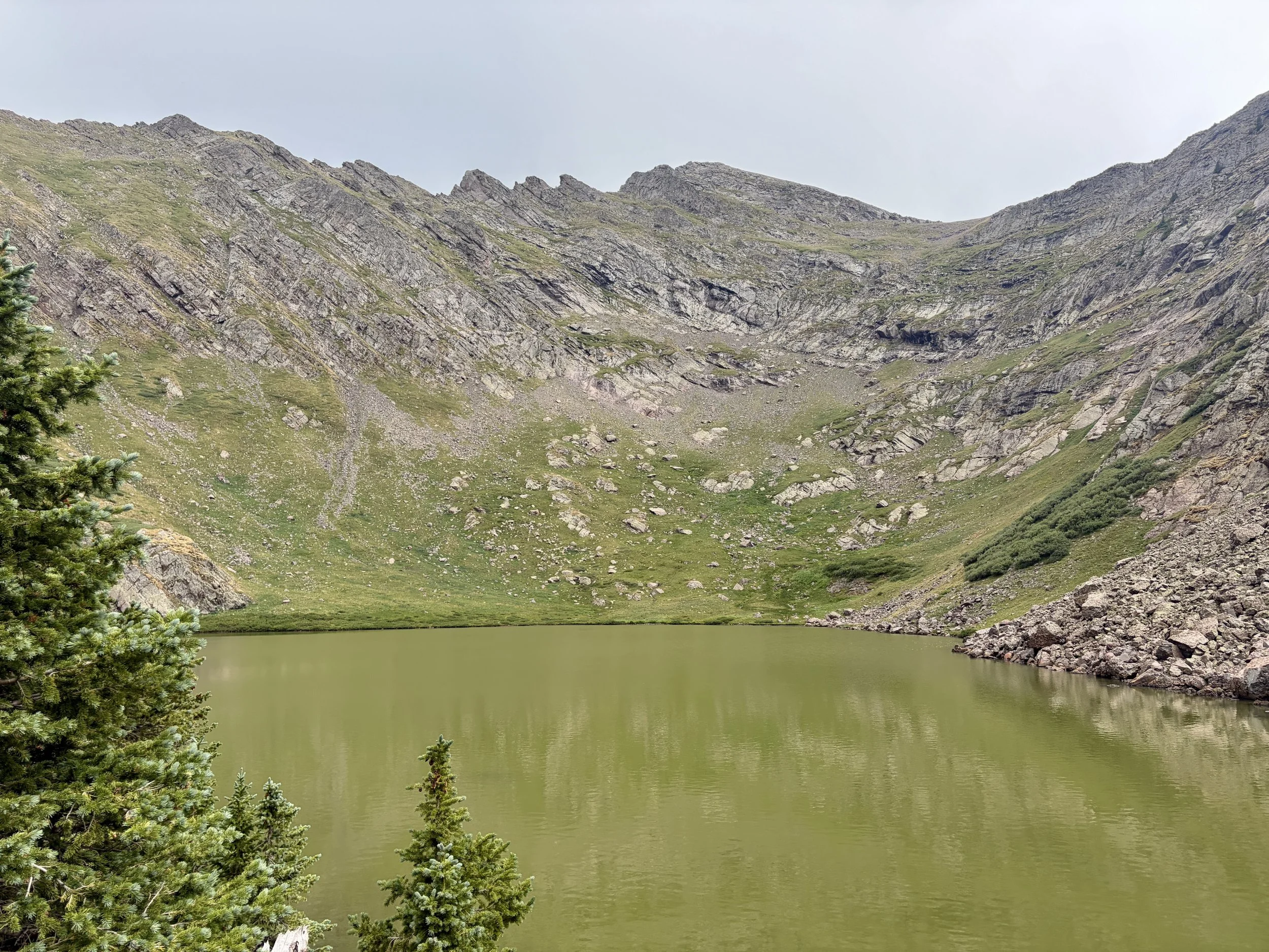
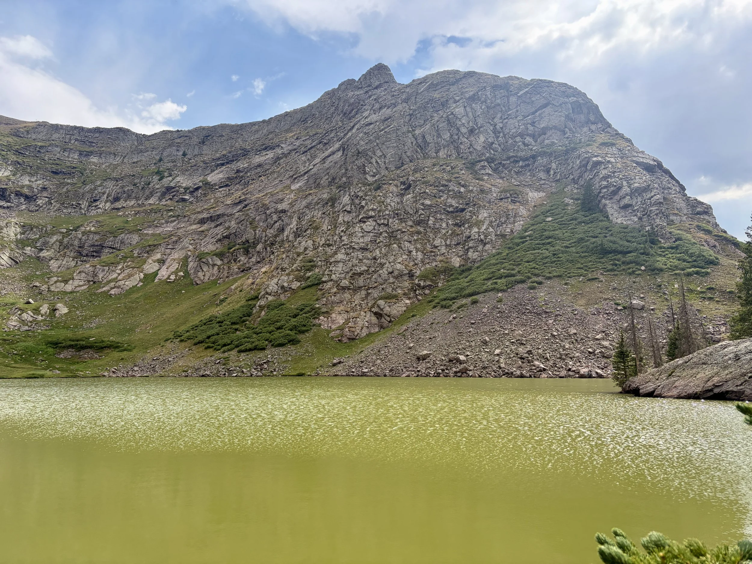
We were surprised to find the lake was very green and murky. There were no signs of fish the entire time we were there, and I didn’t even bother putting my rod together. Even the water coming out of the outlet stream from the lake was murky, and we found ourselves backflushing our water filters quite a bit after filtering this water. If anyone knows why the water is like this in this lake, please leave a comment! We ate dinner near the lake and watched a deer graze for its own dinner on the other side. It was a very peaceful moment and great way to end the day.
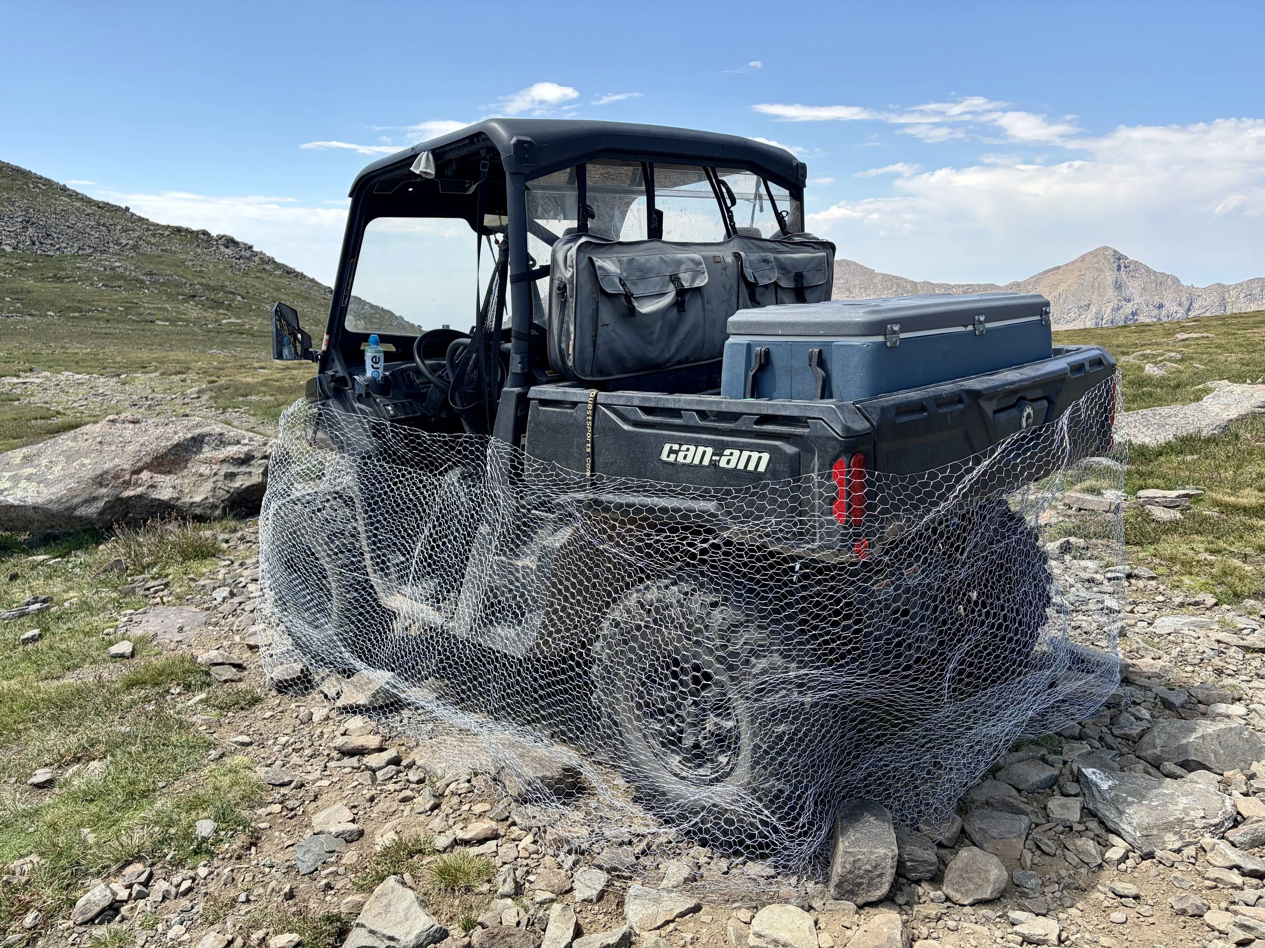
The following morning, we woke up and headed back down the trail we had come up the previous day, across the dense willow basin, and back up the trail we had descended the previous day to get back to the North Fork Crestone Trail that we had been on. We soon found ourselves at the top of another pass that looked into the Rito Alto drainage. As we were standing there taking in the views, a hunter appeared out of nowhere on the ridge leading to Hermit Peak. He was looking for his friend as they were hunting for bighorn sheep. We chatted for a little bit, and he requested if we walk by his vehicle at the top of Hermit Pass for us to check that marmots didn’t make it under his chicken wire that he wrapped around the bottom 3 ft of the vehicle.
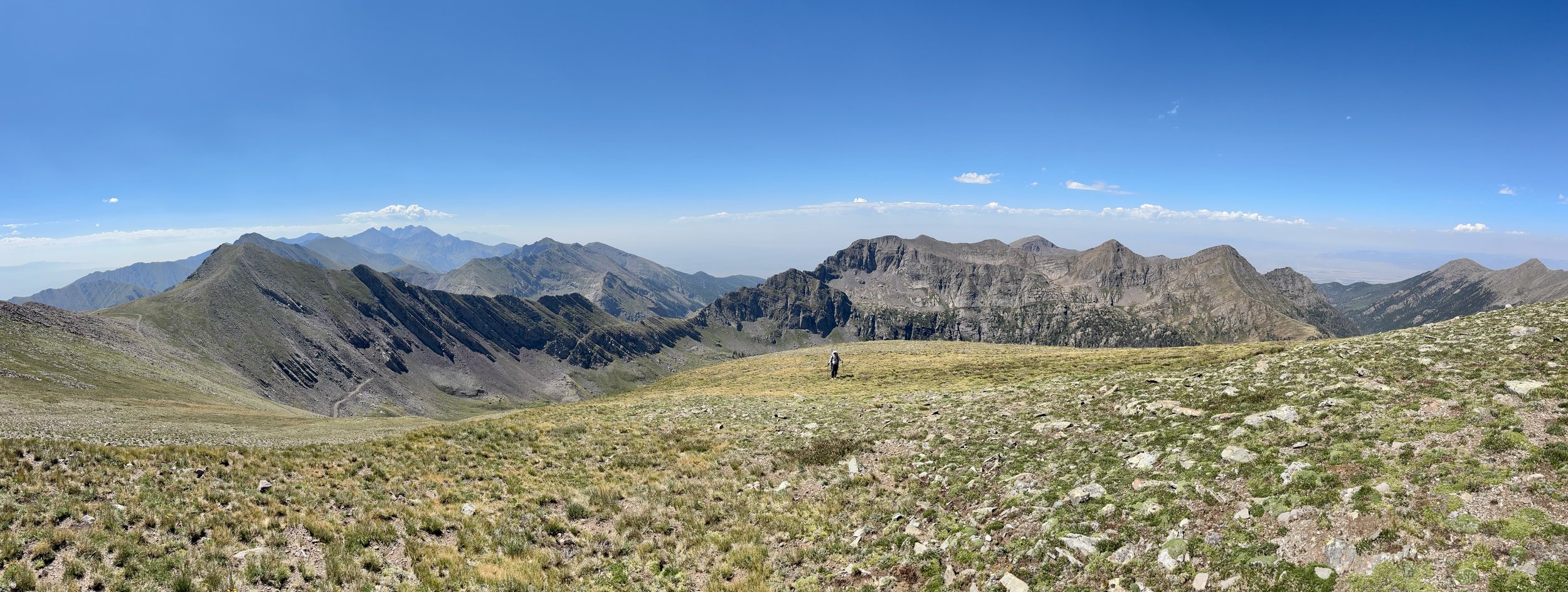
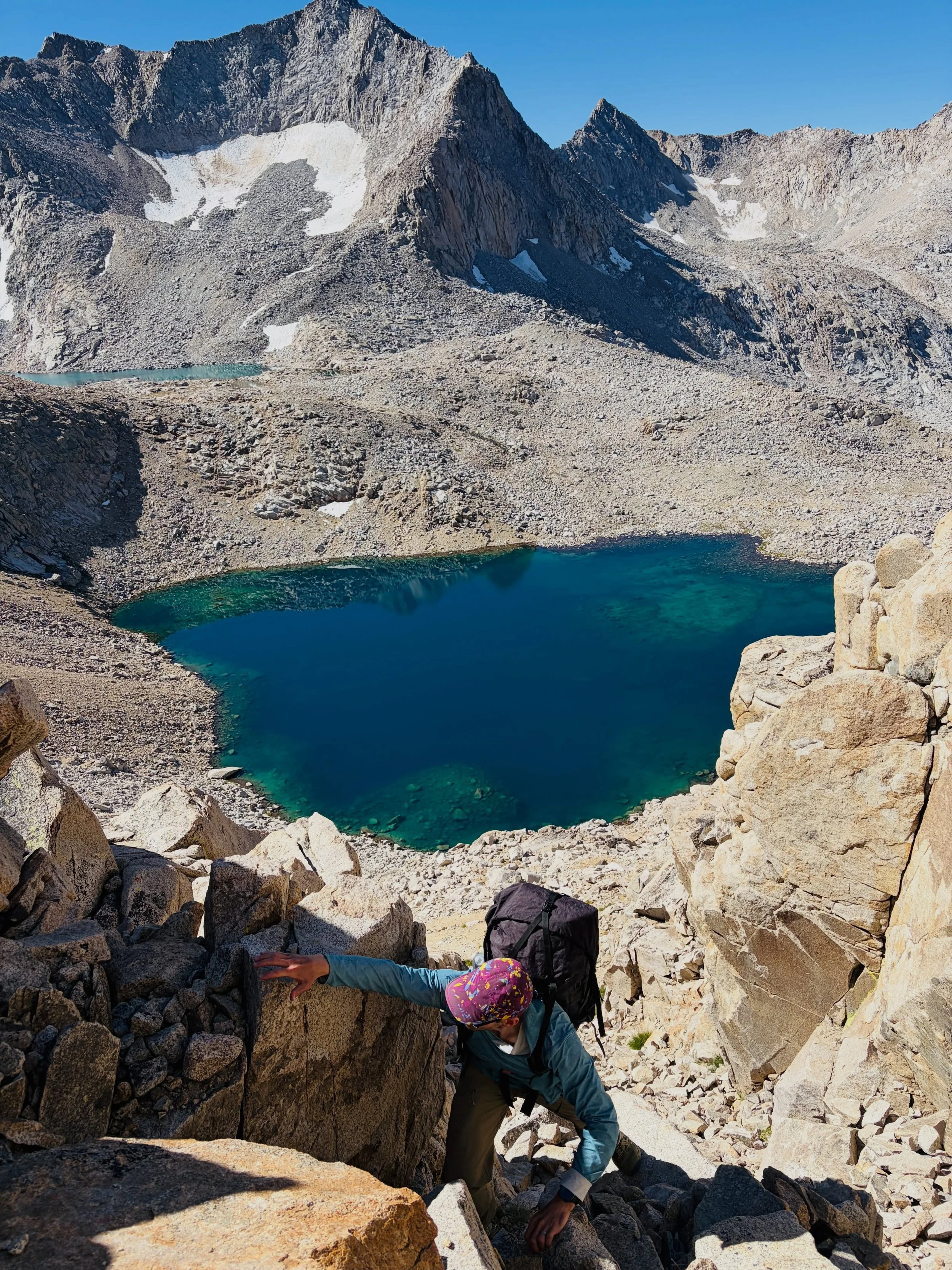
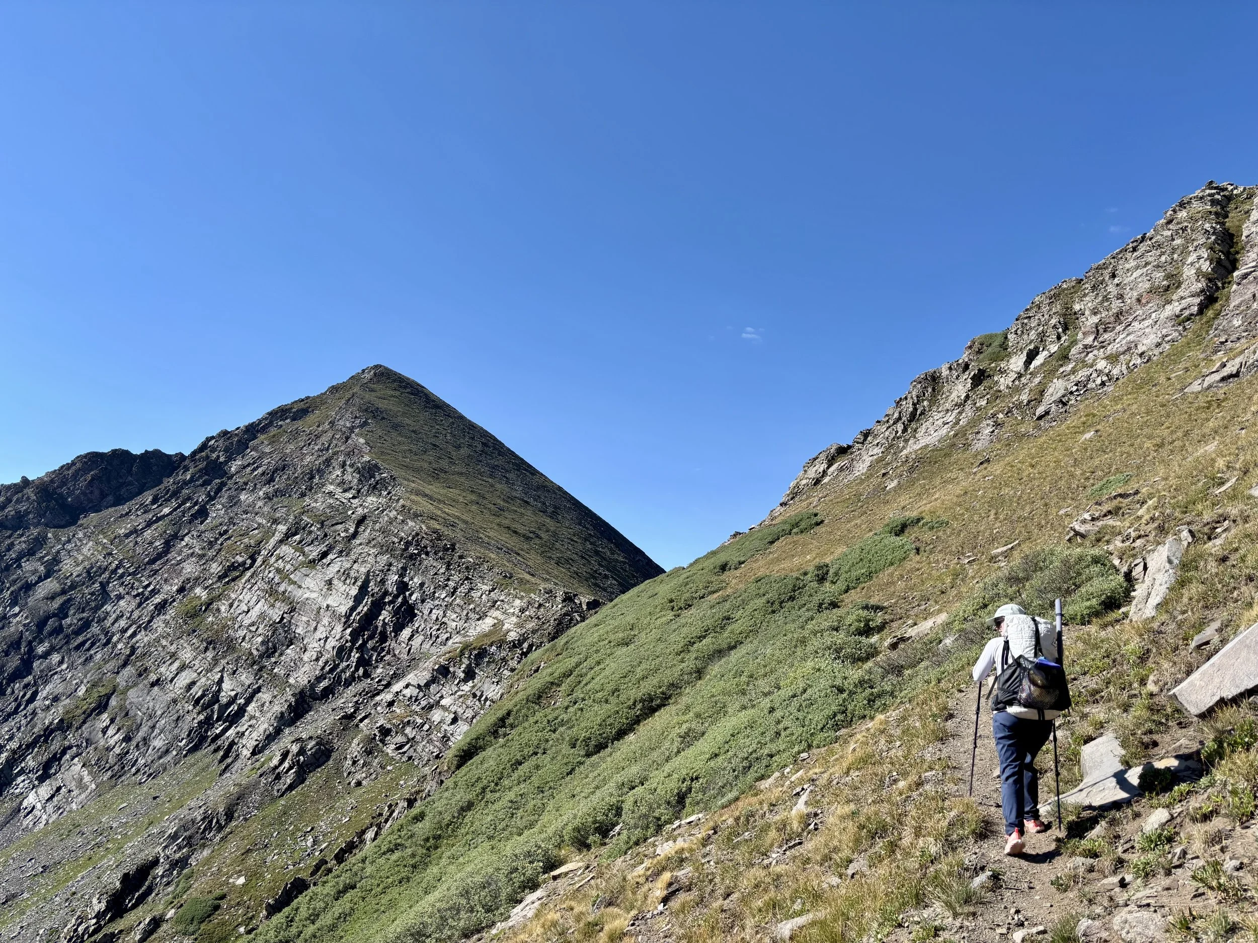
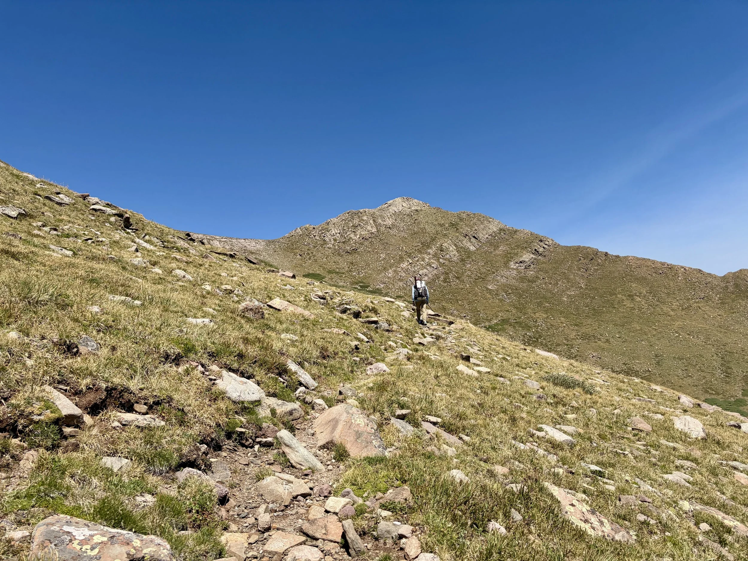
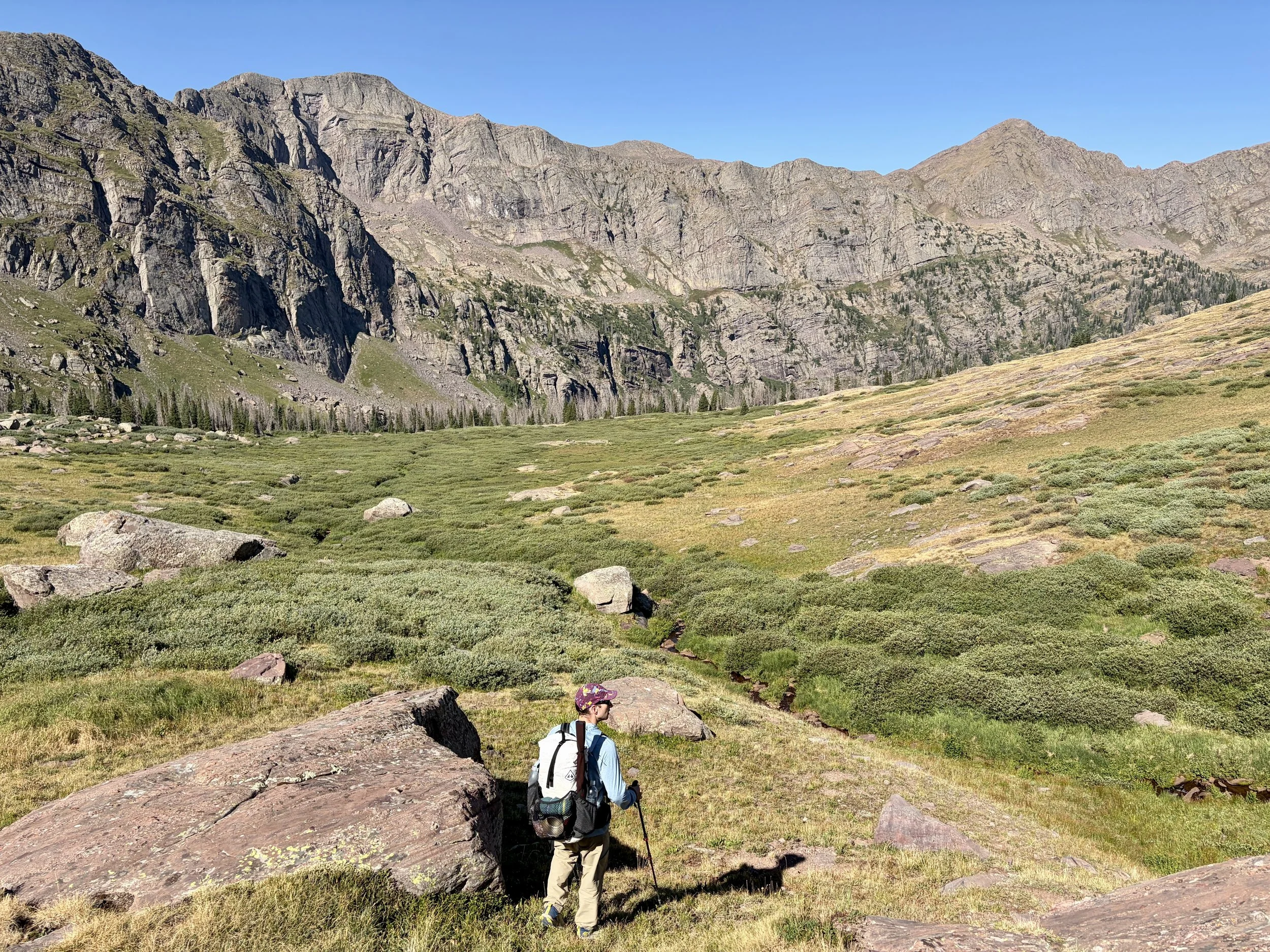
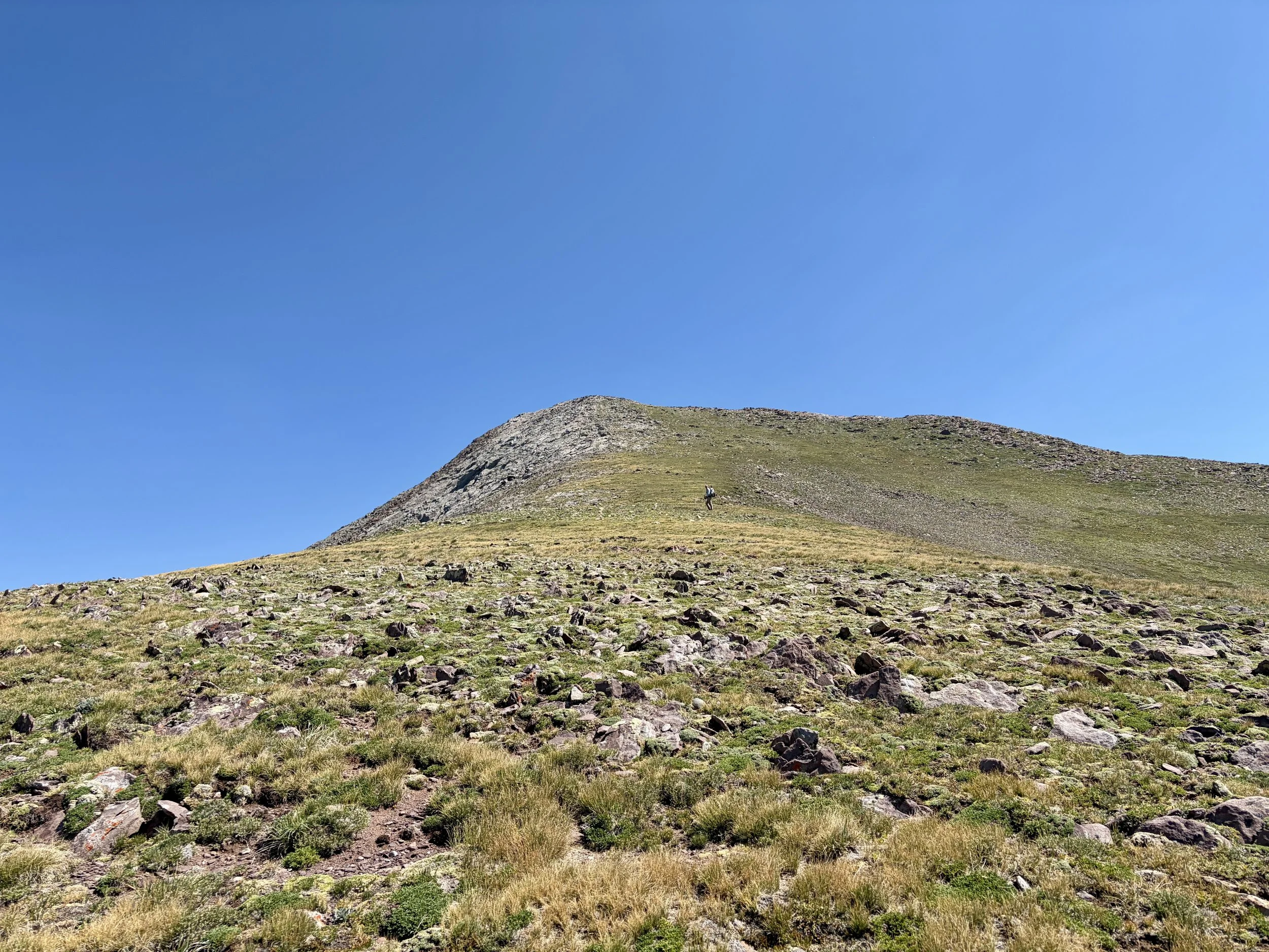
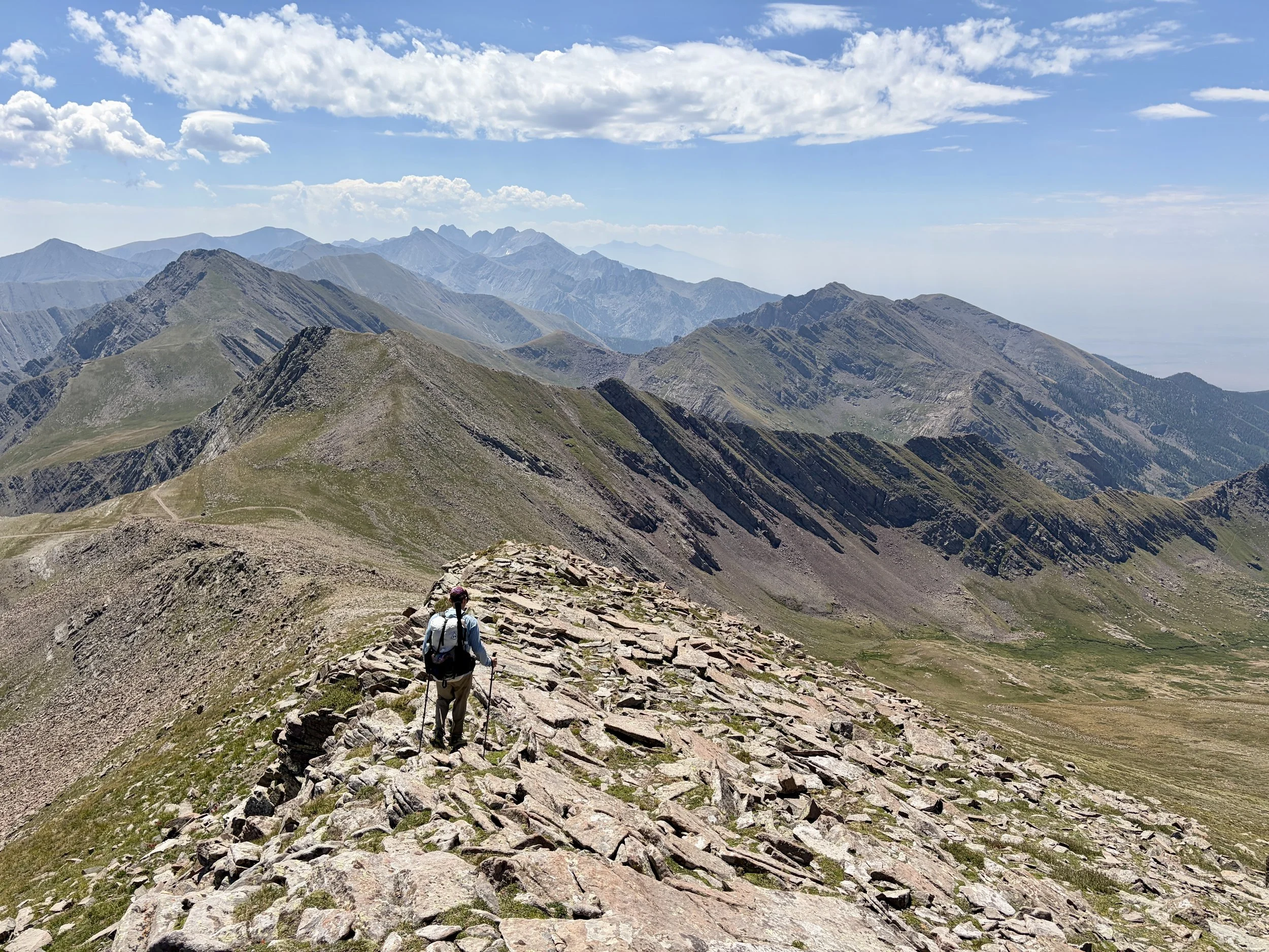
Krista ascending Rito Alto Peak
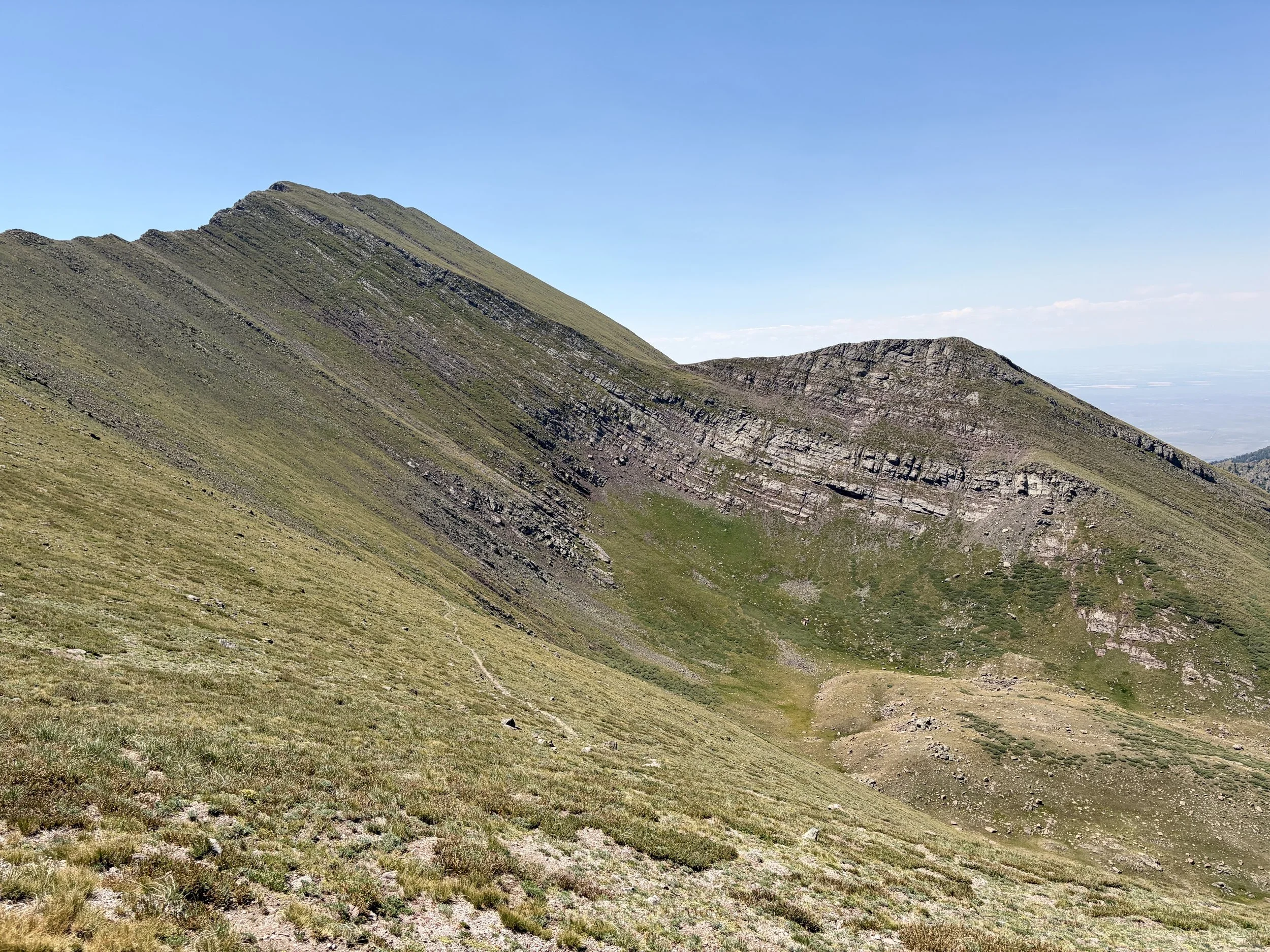
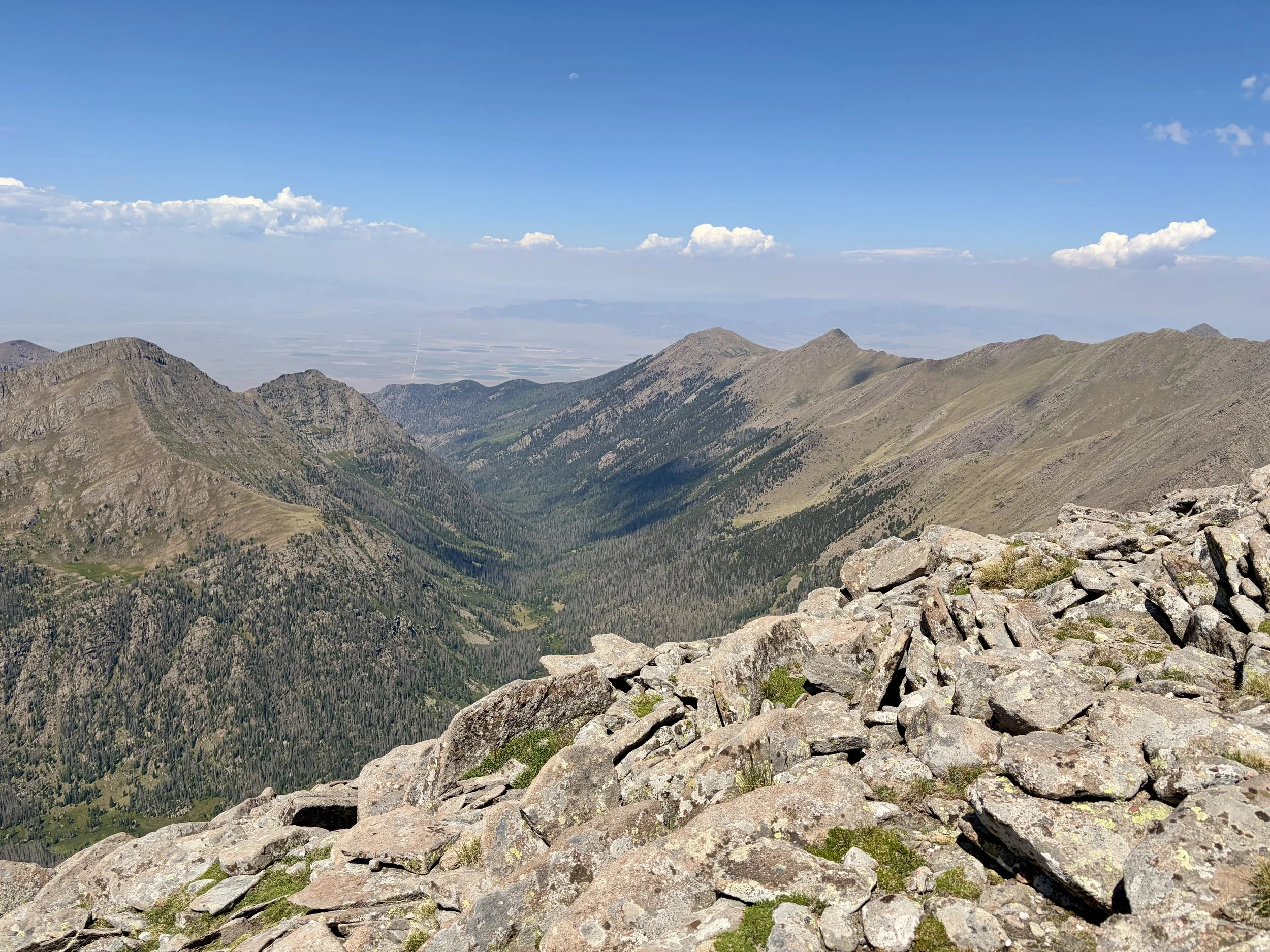
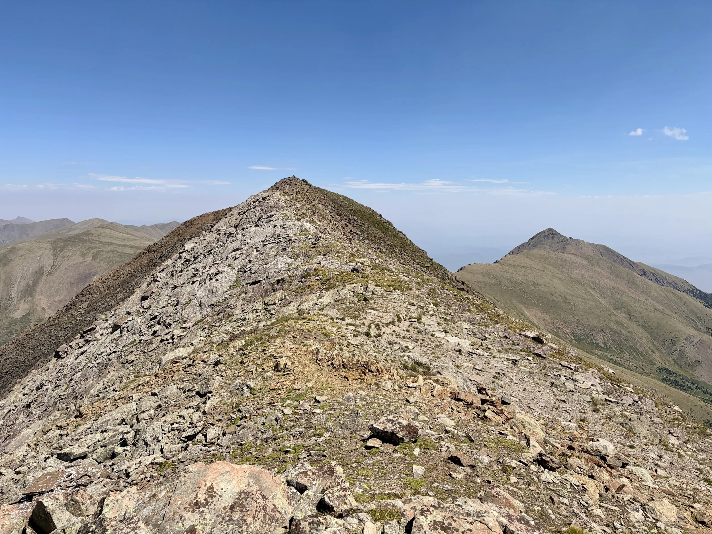
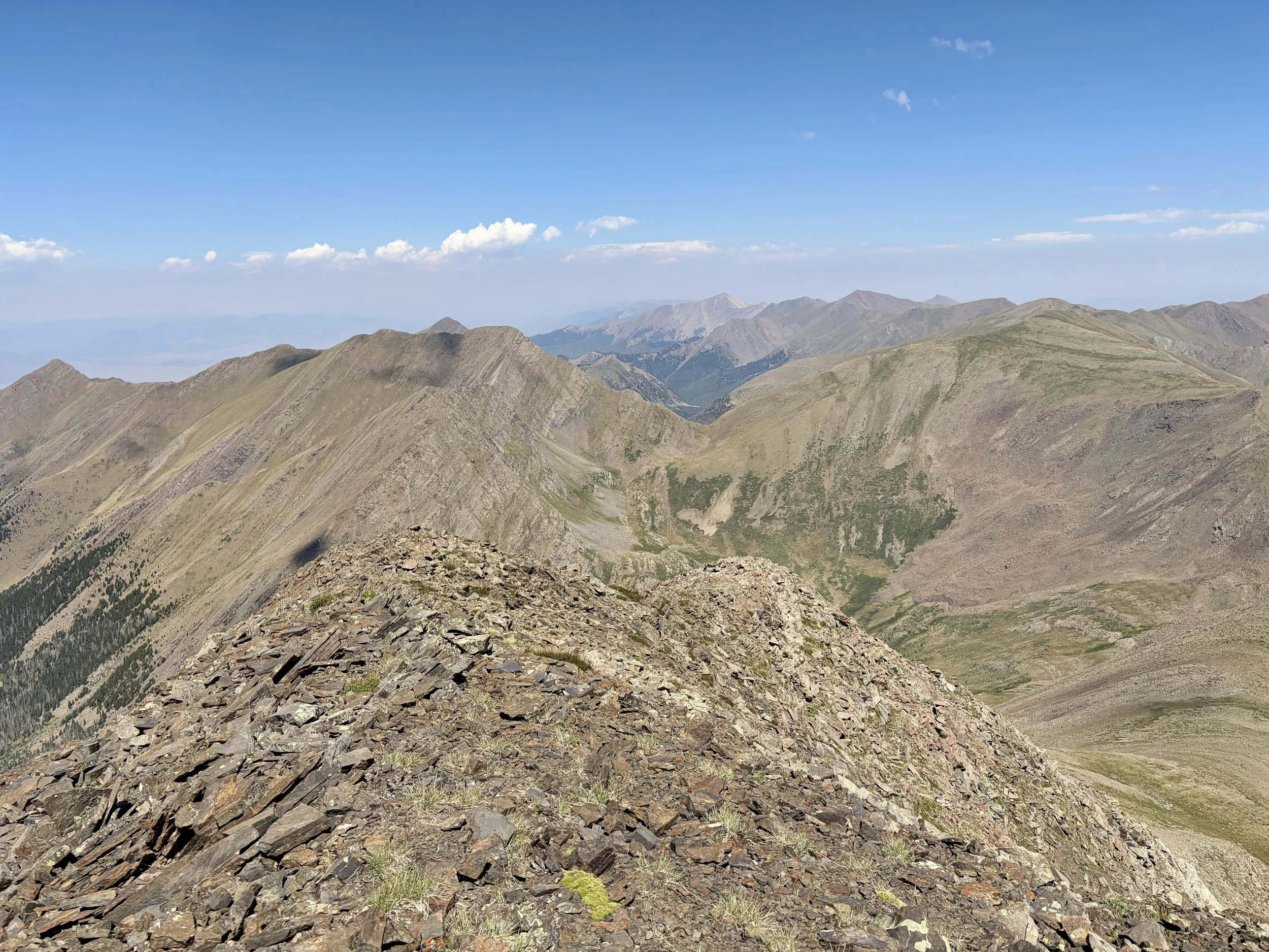
We debated taking an easy day and just descending to Rito Alto lake and spending the rest of the day there. Turns out, Mike and I don’t really know how to take “easy” days so we decided summiting Rito Alto Peak would be the first thing we did. We followed the trail to Rito Alto Peak’s southwest ridge and then cut off trail to follow that ridge to the summit. We soon found ourselves on the false summit of the peak and followed the ridge for a bit to gain the true summit. Views from this summit were great. We decided that we’d descend the southeast ridge and then head up to Hermit Peak’s summit as well. Hermit Peak is 400 ft lower than Rito Alto’s summit elevation so it was a quick jaunt up it. As we descended back to Hermit Pass, we approached the hunter’s vehicle and as I got within 5 ft of it, a marmot jumped out of the trunk. I have no idea how he got up there, but he was rummaging through some material they had in the trunk. We scared it away, but I’m guessing it was back in the trunk within 10 minutes of us leaving.
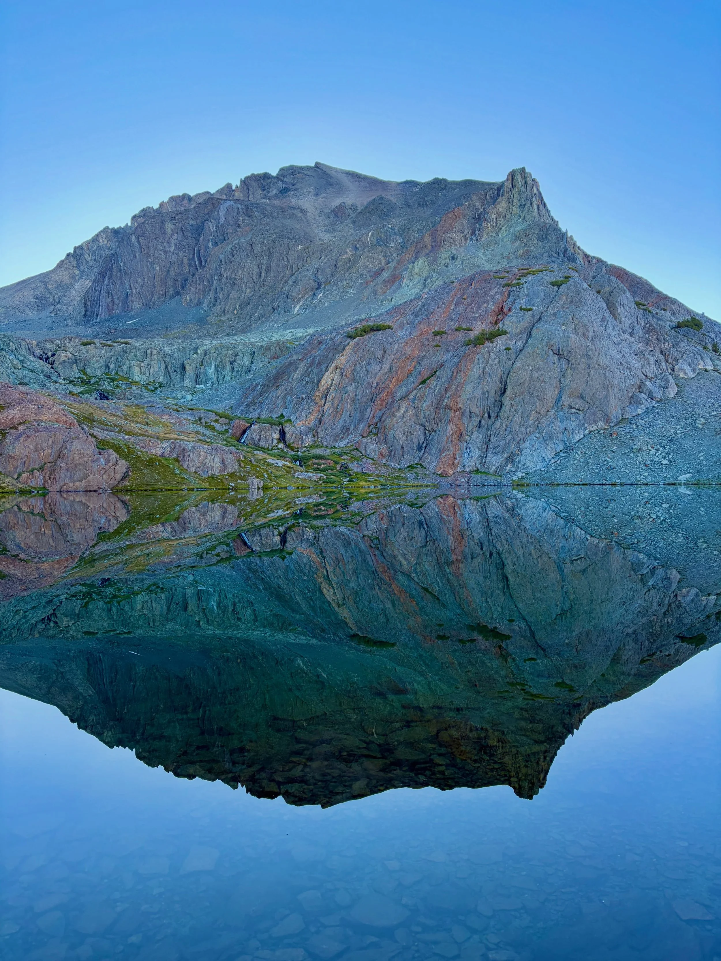
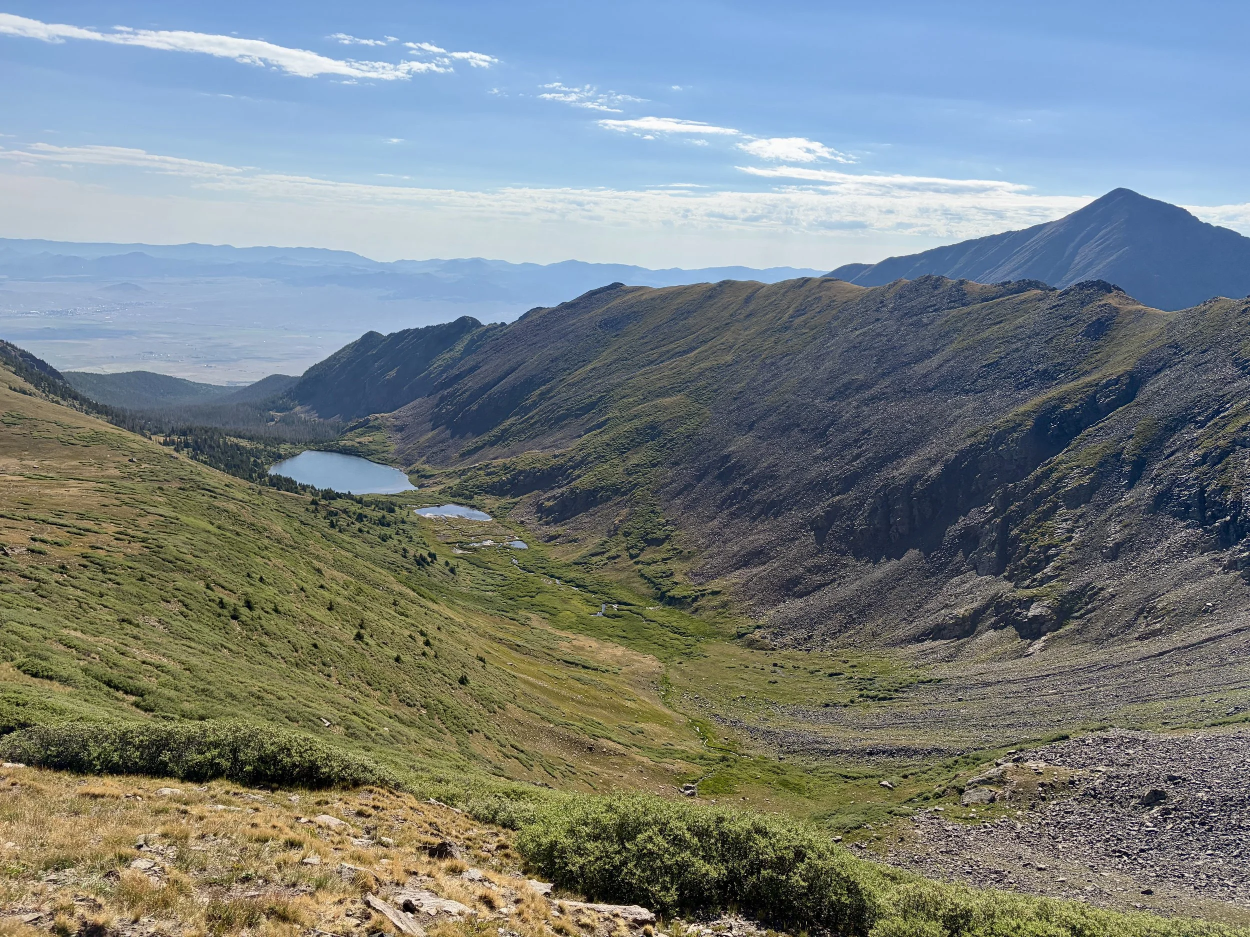
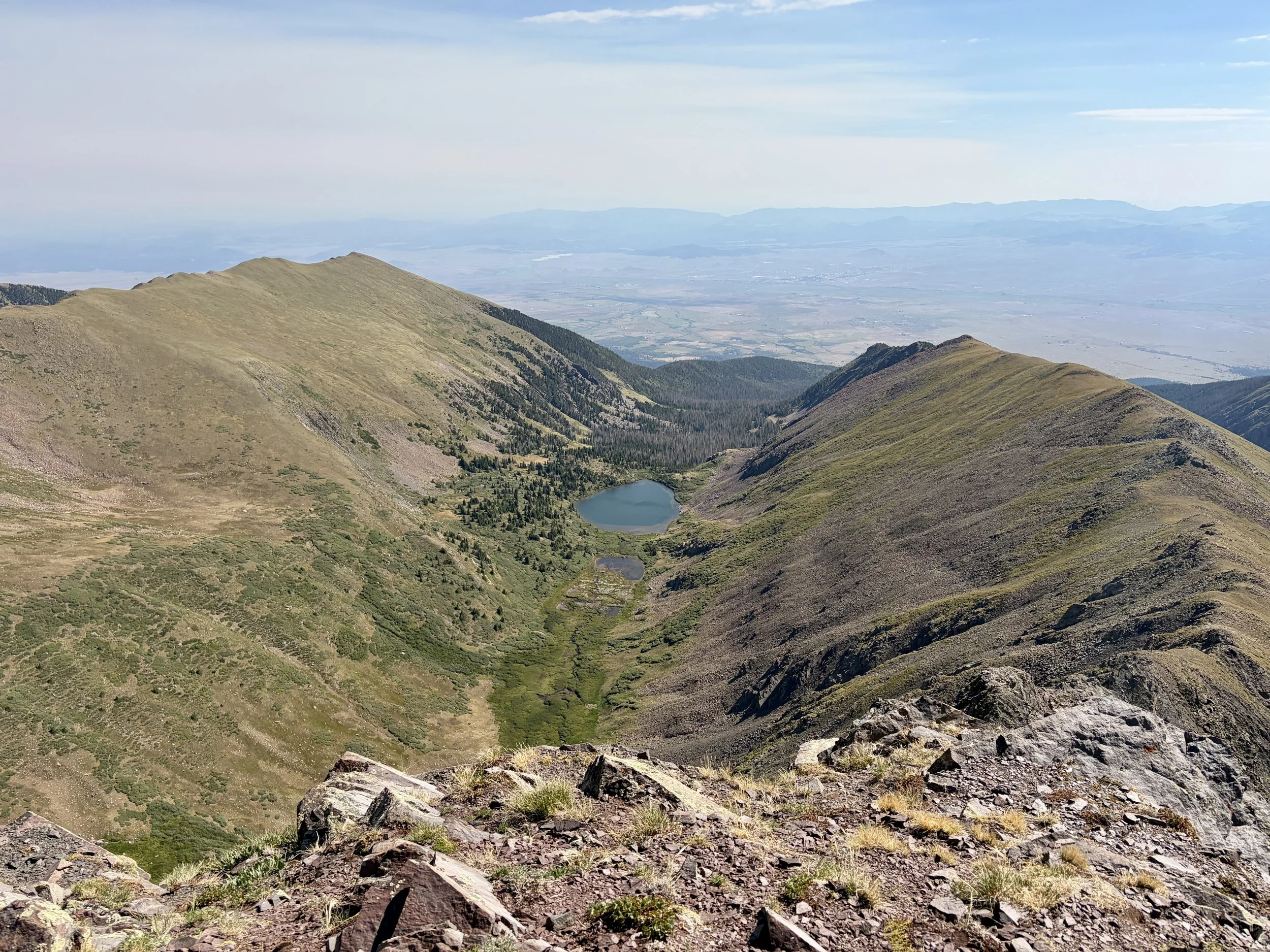
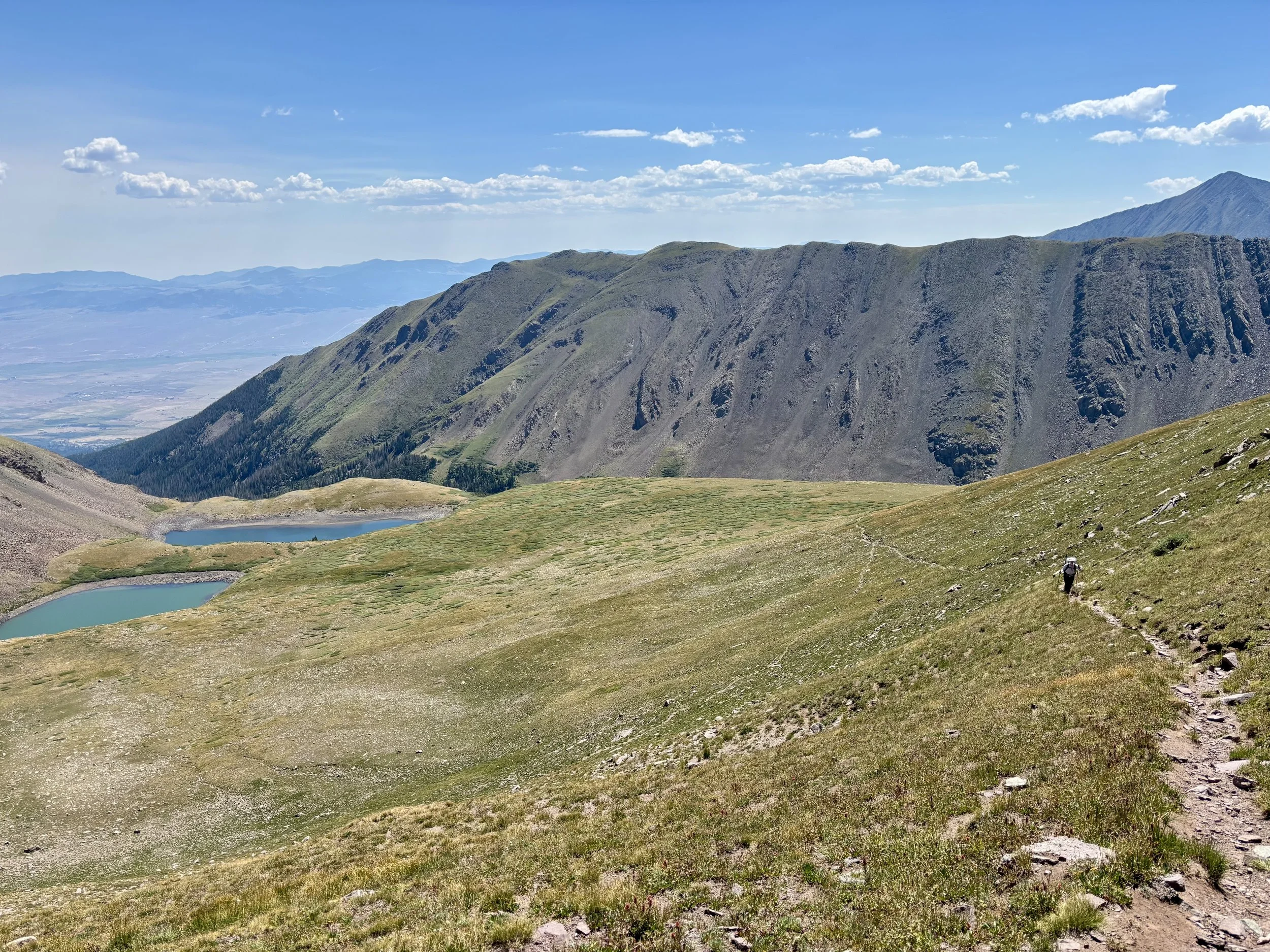
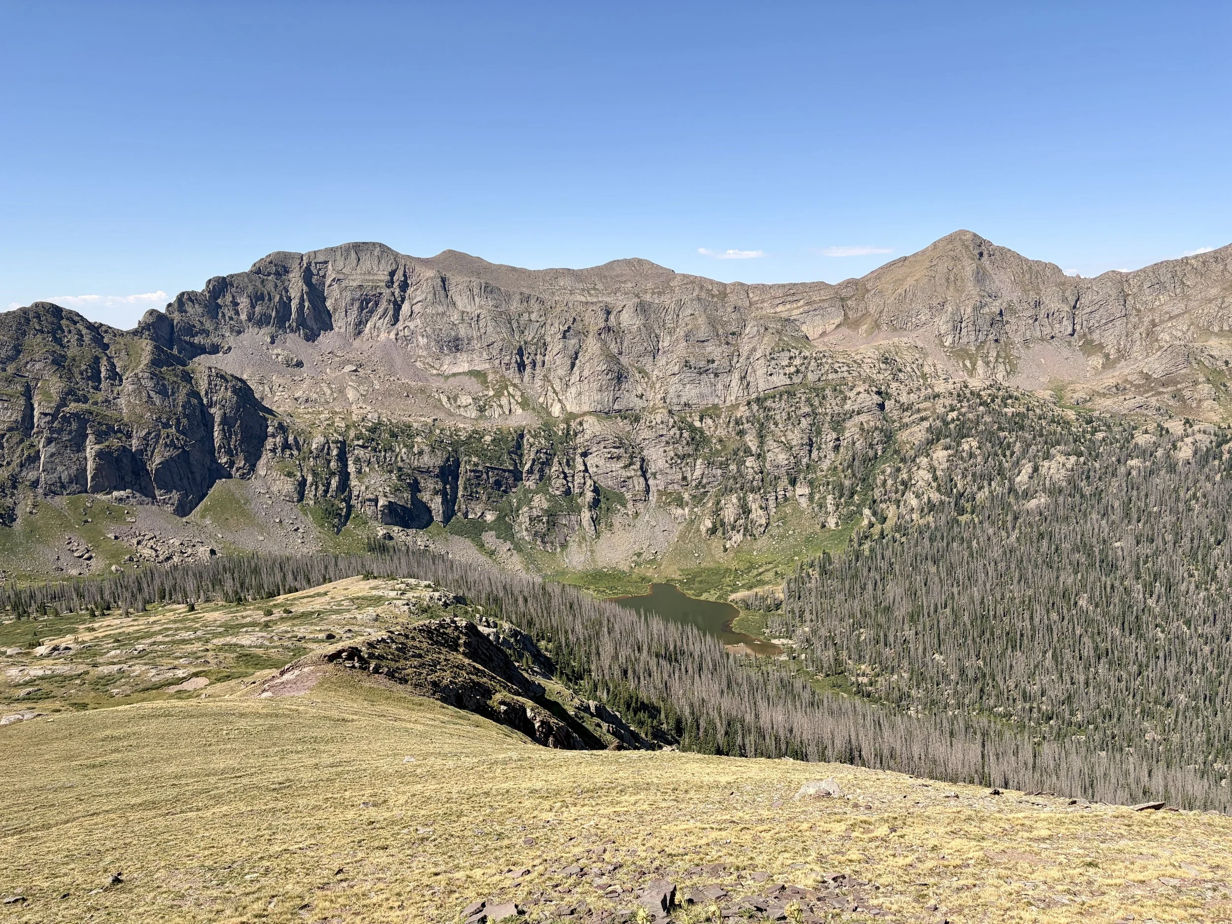
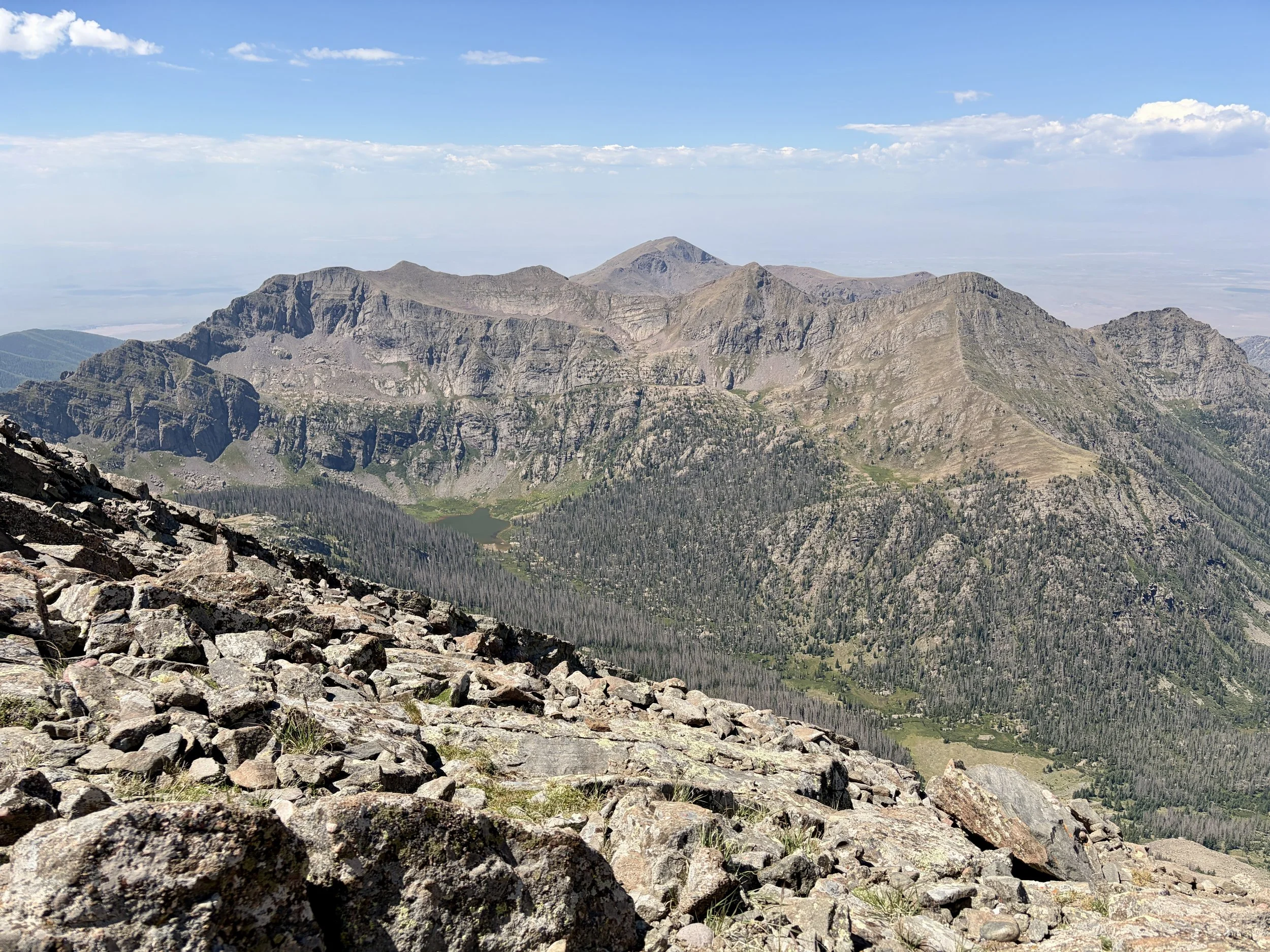
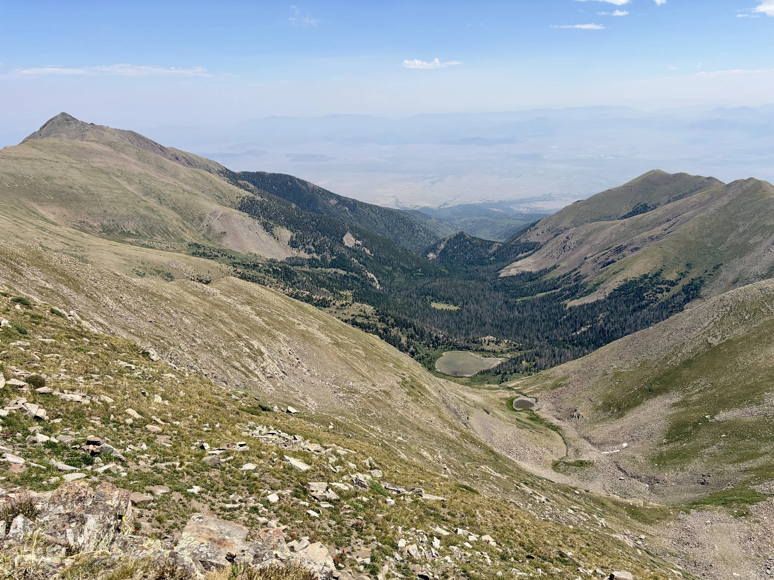
We now had to decide what our plan was for camping that night. We discussed trying to make our way down to Megan Lake, but from the top of Rito Alto Peak, it looked quite shallow and didn’t have much water in it. I was hoping to fish again that evening since I wasn’t able to at San Isabel Lake, and I was carrying all of my fishing gear’s weight so I was hoping to utilize it! So we narrowed down our options to Horseshoe Lake or Hermit Lake. As we descended, we enjoyed beautiful views of Horseshoe Lake. We ultimately decided to keep walking past this lake as it was quite exposed and there was a 40% chance of thunderstorms that afternoon and we could see clouds building. So we decided to head to Hermit Lake which was below tree-line and looked like the best fishing option anyway. When we arrived at Hermit Lake, we saw two men fishing on the other side of the lake, but it seemed they were only there for the day so we had our pick of campsites.
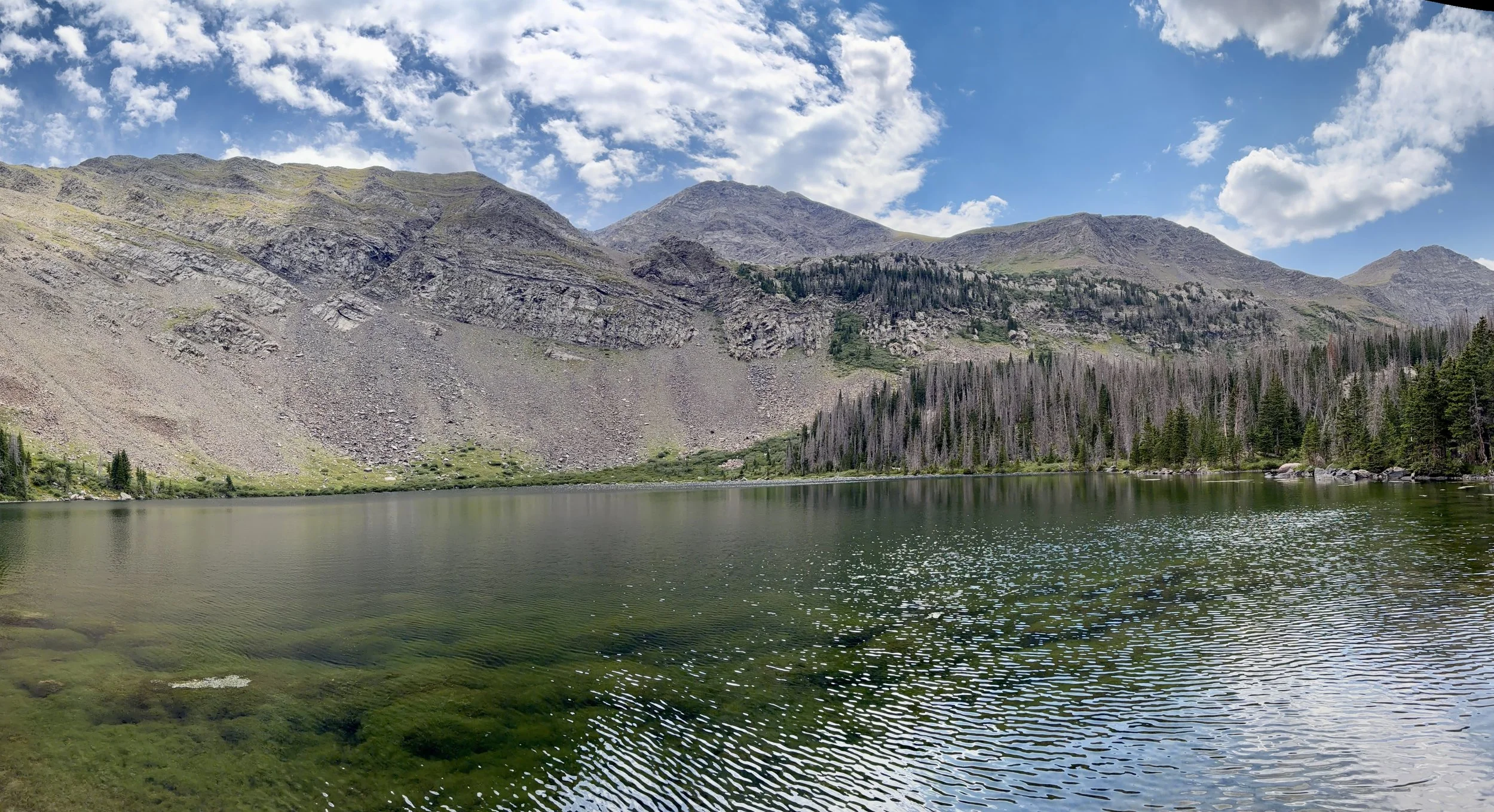
We set up our tent, and then I assembled my fishing rod to give that a go. We could see fish swimming right off the shoreline so we knew there were fish in the lake. I tried my luck at fishing on the side of the lake with trees, but after losing a fly to one of the pine trees, I decided to head to a different spot. At the new spot, I caught a fish on a dry fly on my first cast. I became optimistic about catching a bunch of fish that afternoon, but my optimism was short lived as I didn’t end up catching anything else that afternoon. It was still a lovely afternoon spent outside at a lovely lake.
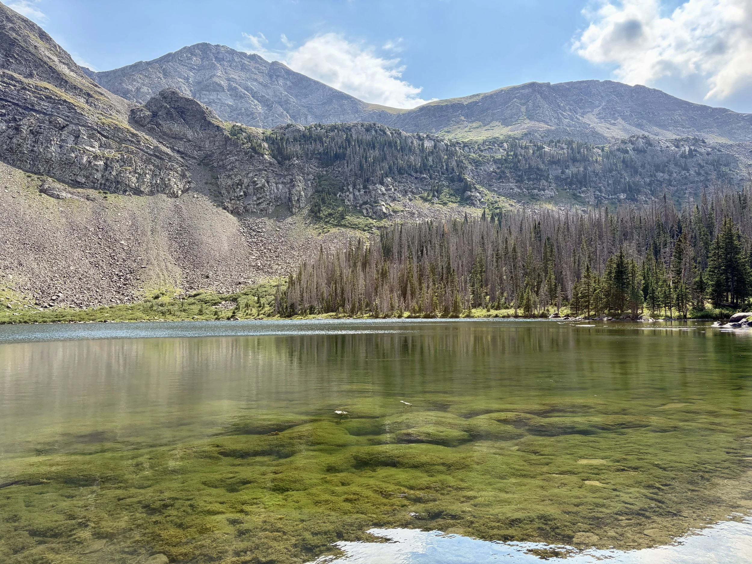
Hermit Lake
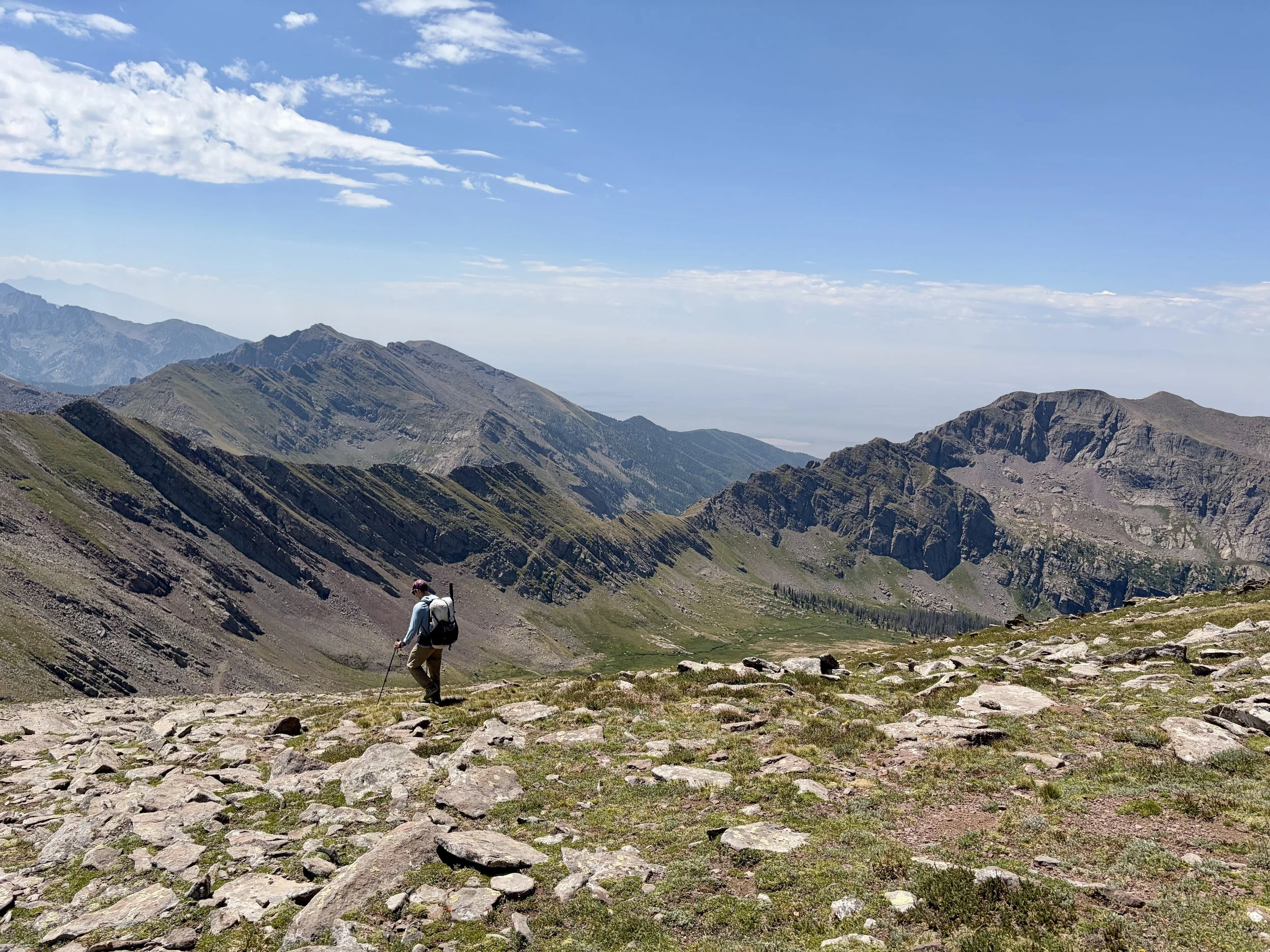
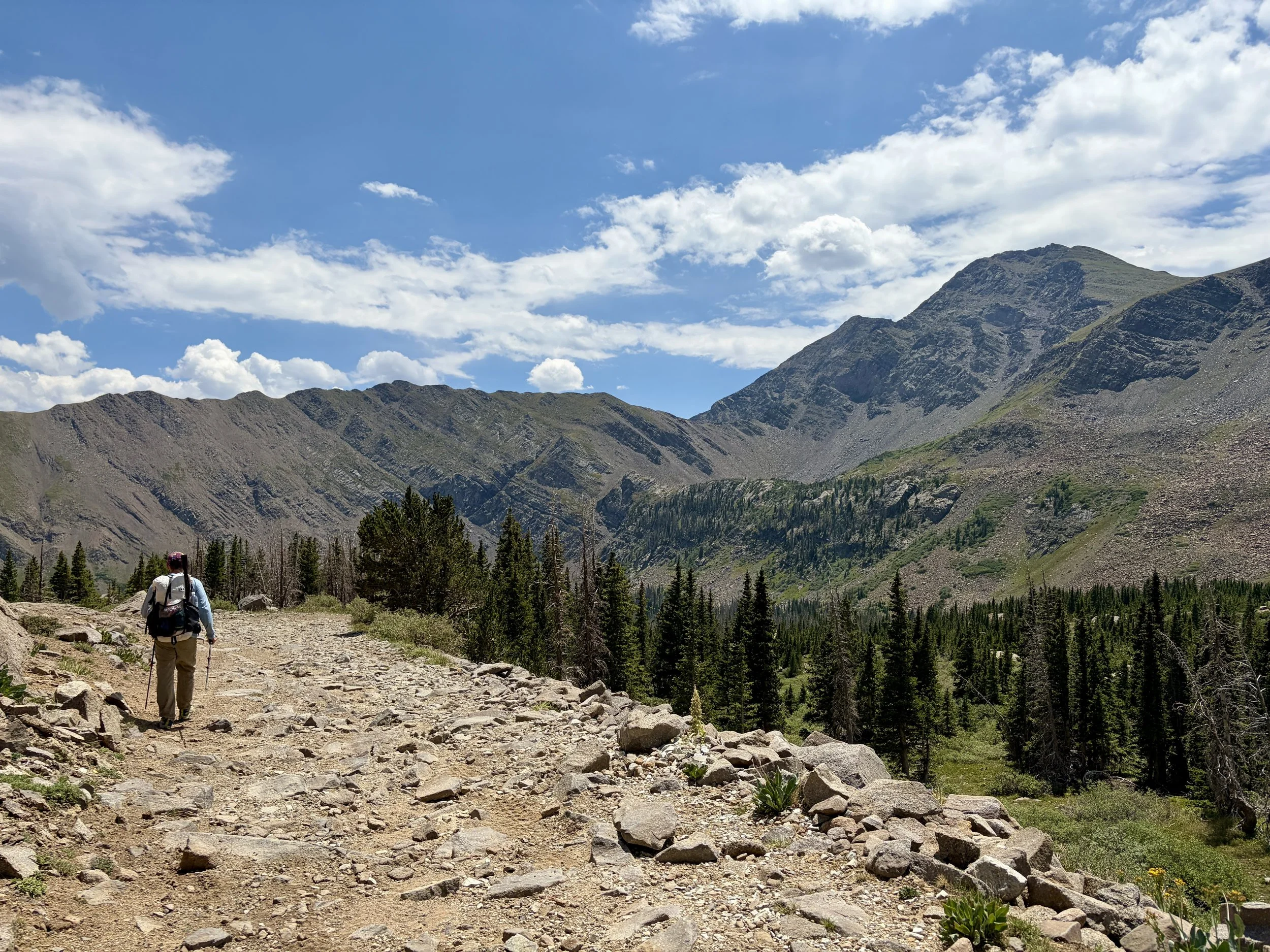
The next morning, our plan was to hike back out to the car at the trailhead. We returned to Hermit Pass road and kept descending it. Hiking down along this road we my least favorite part of the trip as it was full of loose rock and made for difficult walking. After a few miles, we found ourselves at the turn off for Rainbow Trail. We had just over 4 miles on this trail to hike to get to our car. We made quick time on this trail as it was in excellent condition and the direction in which we were hiking it didn’t involve much uphill walking. We were back at the car by late morning. Just in time to get something delicious for lunch!
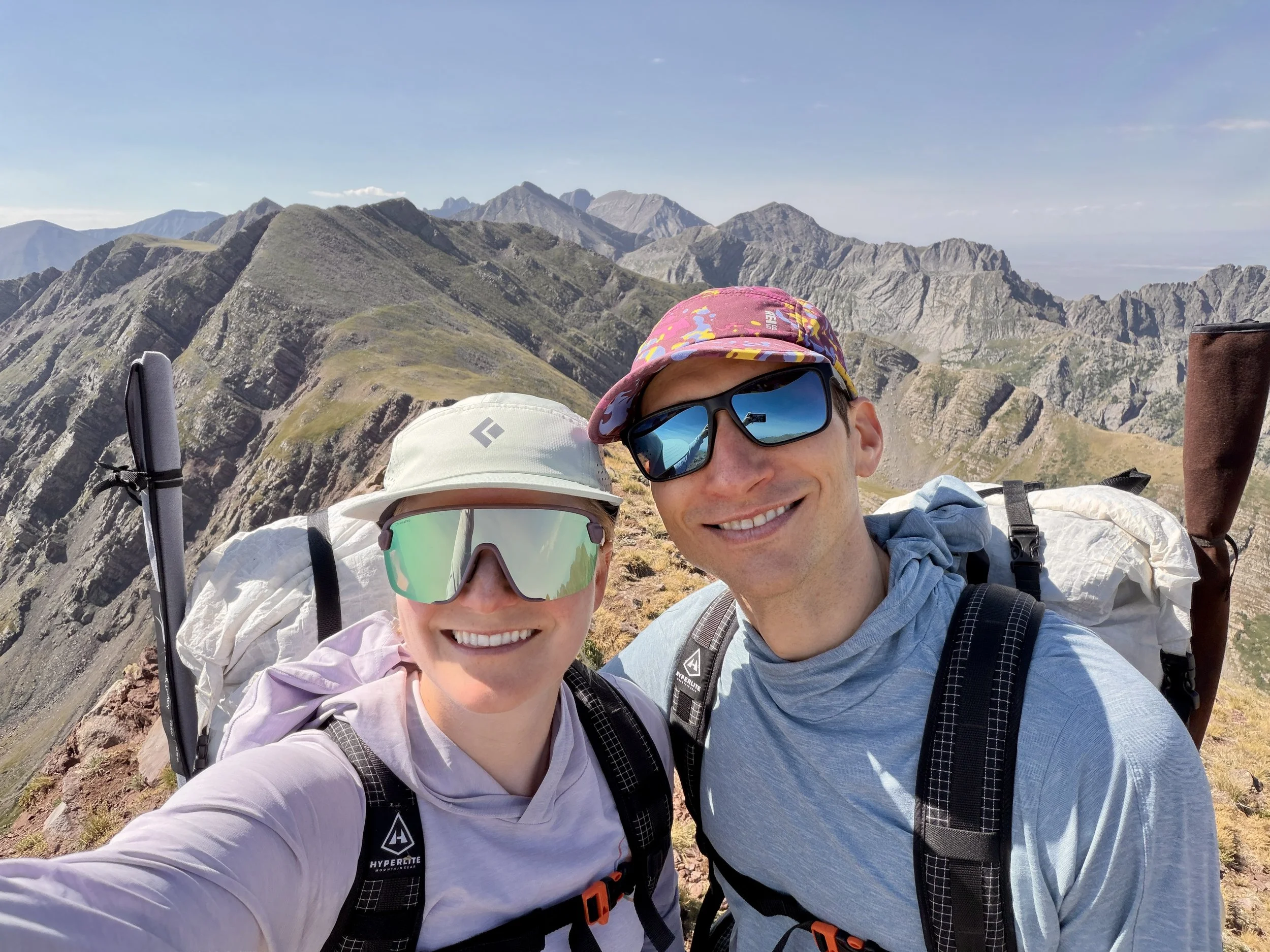
Overall, I really enjoyed this backpacking trip. Scenery was beautiful almost the entire time, and we only encountered a handful of people over the 4 days. We did do the trip during the week so I’m sure it’s busier on the weekend. We slept by beautiful lakes all 3 nights and had an abundance of 13ers to summit if we so chose. I hadn’t brought my fishing pole on a backpacking trip in quite a while so it was nice to slow down a little and enjoy the afternoons by the lake we were camping at.
Day 1 stats: 4.0 miles, 2700 ft of elevation gain
Day 2 stats: 9.1 miles, 3750 ft of elevation gain
Day 3 stats: 7.7 miles, 2800 ft of elevation gain
Day 4 stats: 7.6 miles, 300 ft of elevation gain
Total Stats: 28.4 miles, 9550 ft of elevation gain
Disclaimer: This website uses affiliate links, meaning: at no additional cost to you, I earn a small commission if you click-through and make a purchase. As an Amazon Associate I earn from qualifying purchases. I only feature products that I believe in and use myself. Your support means the world to me and allows me to host this website. Thank you!
Gear List
Map: Sangre de Cristo Mountains
Compass: SUUNTO M-3 Compass
Emergency Communication Device: Garmin inReach Mini 2 *requires a subscription
First Aid Kit: Adventure Medical Kit *I have added items to this kit and would recommend tailoring a medical kit to your needs
Lighter: BIC Lighter
Emergency Blanket: SOL Emergency Blanket
Shell/Rain Jacket: REI Co-op XeroDry GTX Jacket
Headlamp: Black Diamond Equipment Spot
Multi Tool: Leatherman Squirt PS4 Multi Tool
Tent: Big Agnes Copper Spur UL
Tent Footprint: Big Agnes Footprint for Copper Spur UL
Backpack: Hyperlite Mountain Gear Junction 55
Water Filter: Sawyer Squeeze Water Filtration System
Stove: MSR PocketRocket 2 Ultralight Stove
Fuel: Jetboil Jetpower Fuel
Kettle: MSR Titan Ultralight Titanium Backpacking Kettle
Water Bottle: Platypus DuoLock SoftBottle Flexible Water Bottle
Spork: Sea to Summit Frontier Ultralight Long Handle Spork
WAG bags for human waste: Cleanwaste WAG bags
Sleeping Pad: Sea to Summit Ether Light XT
Pillow: Sea to Summit Aeros Premium Inflatable Travel Pillow
Sleeping Bag: Western Mountaineering Ultralite 20 Degree Sleeping Bag
Shirt: Patagonia Capilene Cool Daily Hoodie
Pants: Black Diamond Womens Alpine Light Pants
Socks: Darn Tough Hiker Micro Crew Midweight Sock with Cushion
Underwear: Smartwool Intraknit Hipster Bikini
Sunglasses: Smith Lowdown Slim 2
Cap: Coal 5 Panel Cap
Toothbrush: GUM Travel Toothbrush
Toothpaste: SuperBee Dentos Toothpaste Tablets
Hairbrush: Folding Hairbrush
Body Wipes: Pampers Sensitive Water Based Hypoallergenic and Unscented Baby Wipes
Trekking Poles: REI Co-op Flash Carbon Compact Trekking Poles
Camp shoes: Xero Shoes Women’s Z-trail Ev
Mug/cup: GSI Outdoors Infinity Backpacker Mug
Towel: REI Co-op Multi Towel Mini
Power Bank: Nitecore NB10000 Gen II Ultra-Slim Power Bank
Packing Cubes: Eagle Creek Packing Cubes
Chair: Helinox Chair Zero Ultralight Compact Camping Chair
Mosquito Head Net: Sea to Summit Ultra-Mesh Mosquito Head Net
Knife: LEATHERMAN Skeletool KBX Pocket Multitool with Knife and Bottle Opener
Follow my journey on Instagram