Backpacking in the High Sierra, Kings Canyon National Park & John Muir Wilderness, Bishop, California
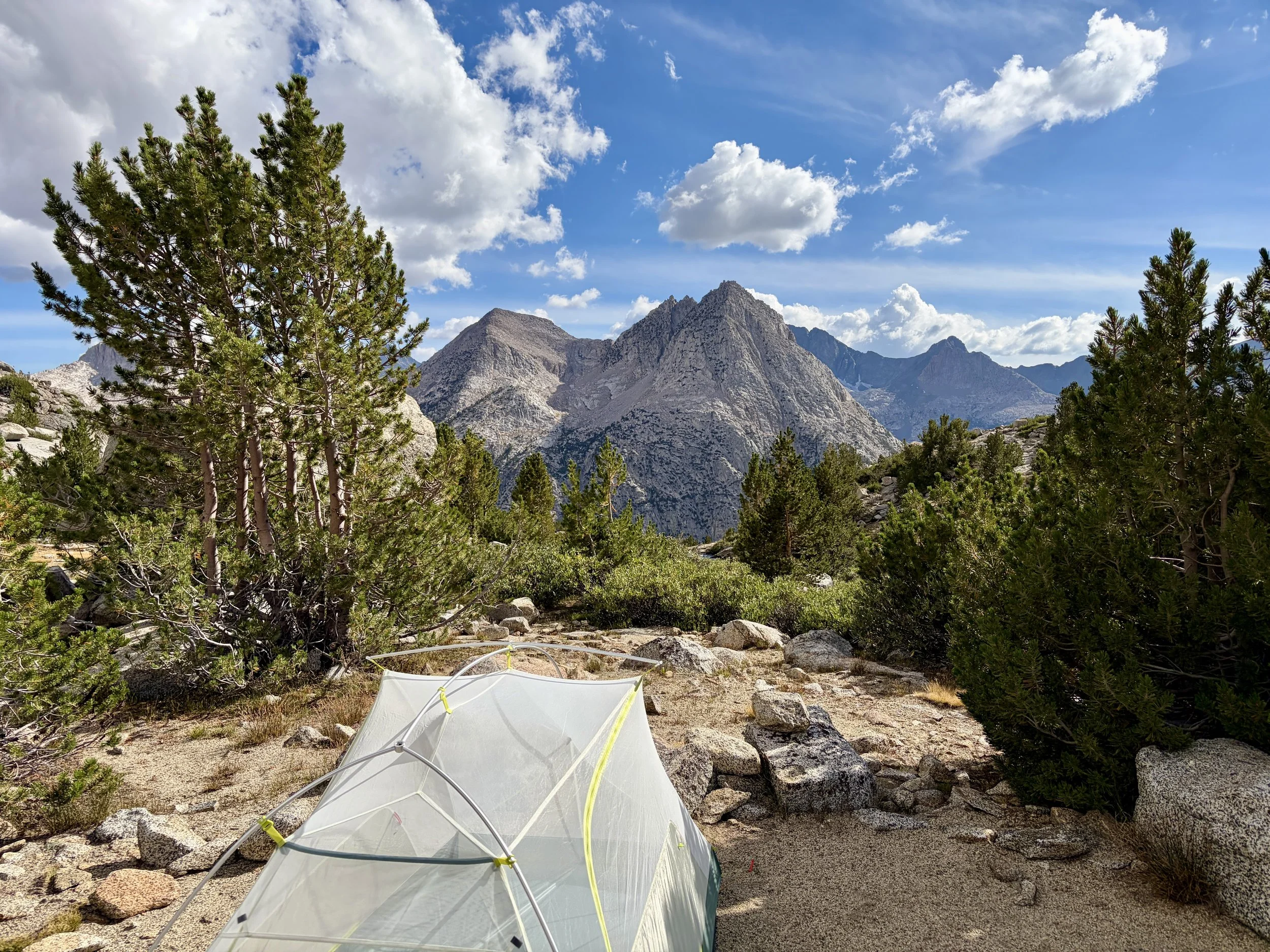
One of the best campsites I’ve ever had
It’s one of the first summers in recent memory where it doesn’t feel like California has had a large wildfire smoke problem. Mike and I had loosely been thinking about heading there as a result of this so I decided to see if any last minute backpacking permits were available. Upon checking recreation.gov, I saw that there were 3 spots left for an area called Lamarck Lakes in the Sierras that would be available to start 5 days from the day I checked. I had never really looked too closely at the Sierras so I wasn’t even sure where Lamarck Lakes was. After looking at some maps and pictures of the area, I decided it looked perfect for a week-long backpacking trip, and ended up reserving two of these spots for us. We packed up the van and our backpacking bags and started driving to California.
Day 1
The morning of our first day we parked at the North Lake hiker parking lot. Upon getting out of the car, the lady in the car next to us started talking to us and proceeded to tell us how she tried to start a backpacking trip from the same trailhead 3 days ago and her group got ten miles in to the trip and had to call Search and Rescue because of rain and concerns about hypothermia. They ended up back at the trailhead that same evening and that was the end of their backpacking trip. Thankfully, I think Mike and I were a bit more experienced and prepared than this woman was, but it was still quite a note for us to start our trip on!
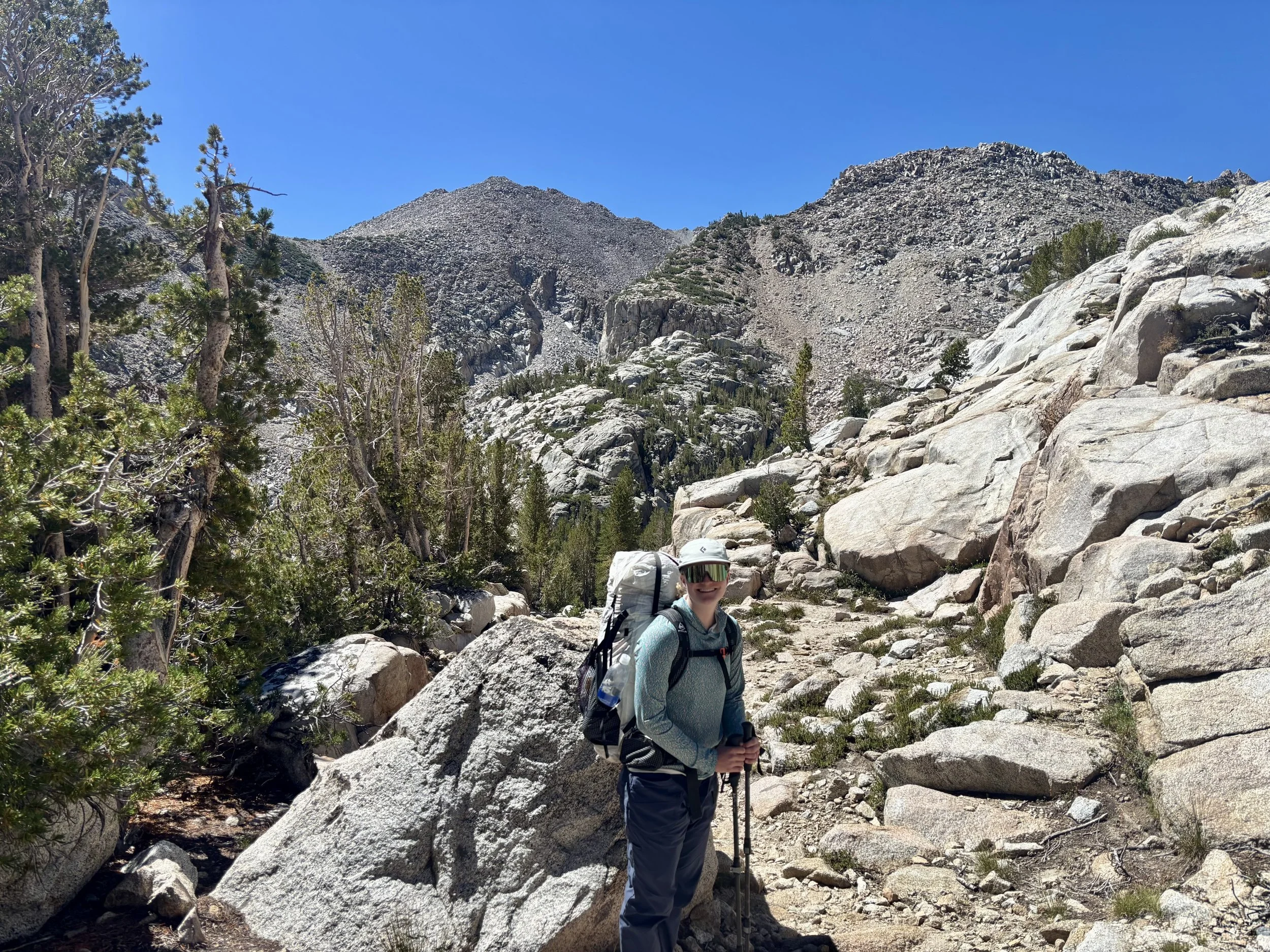
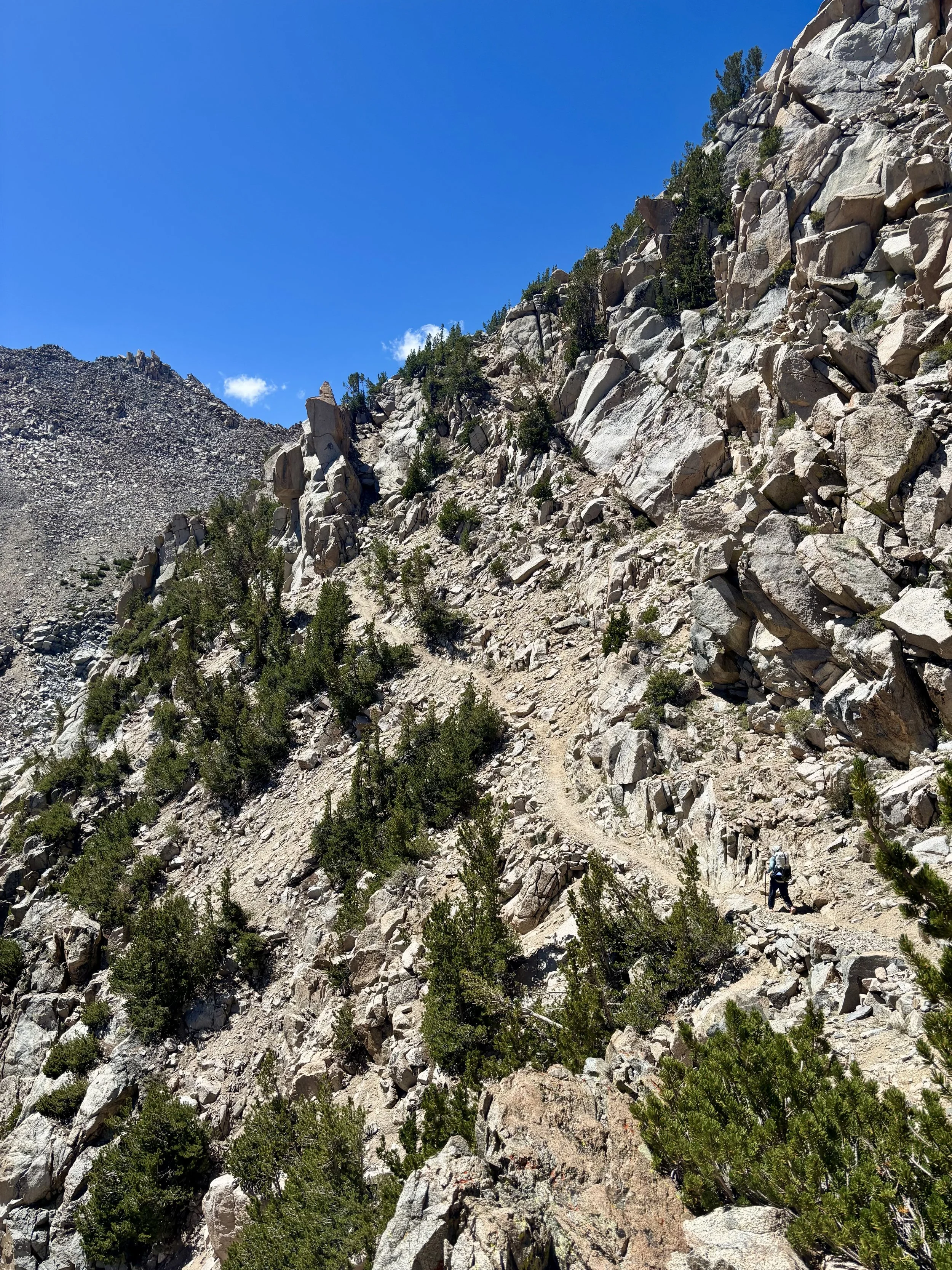
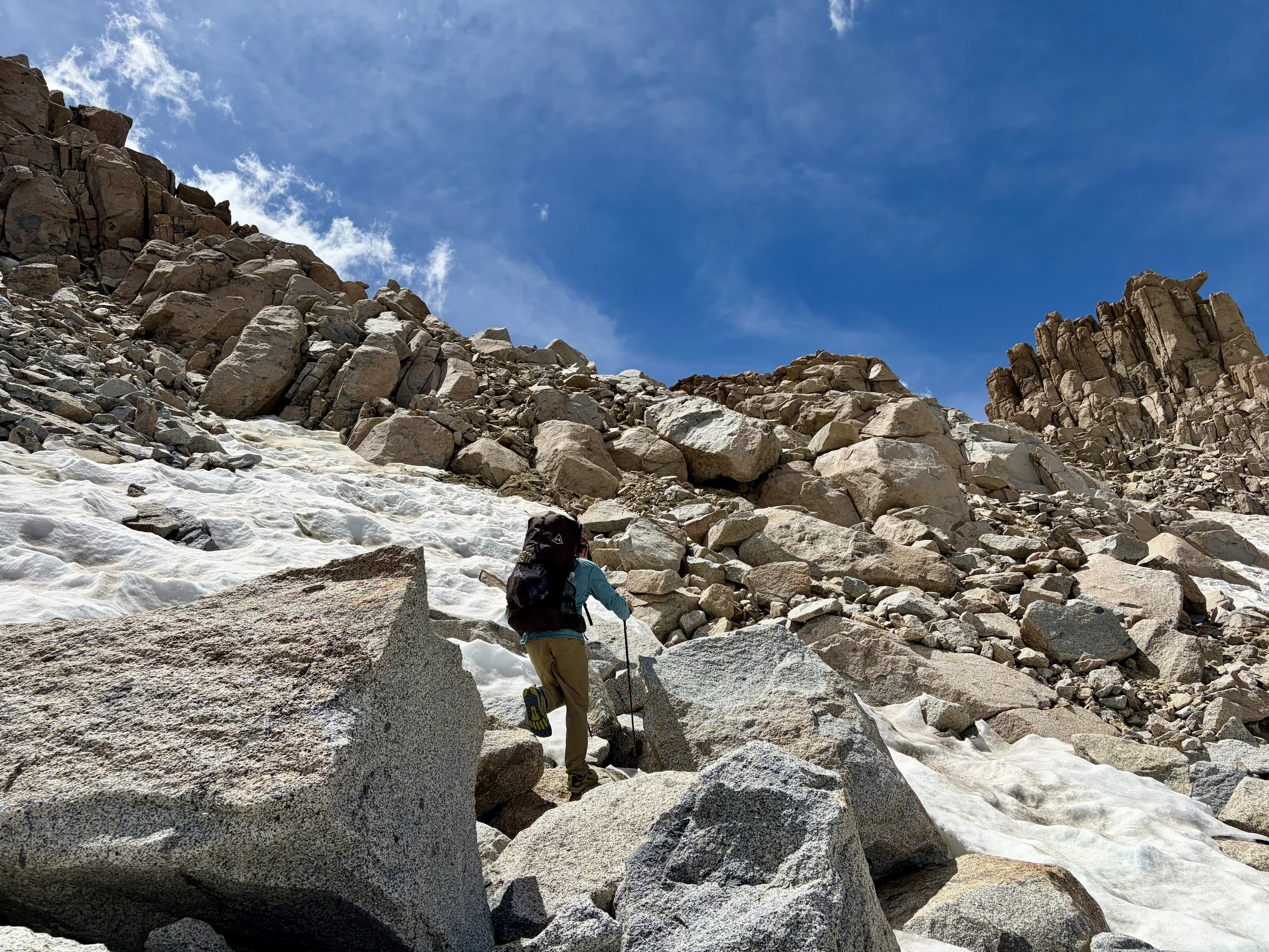
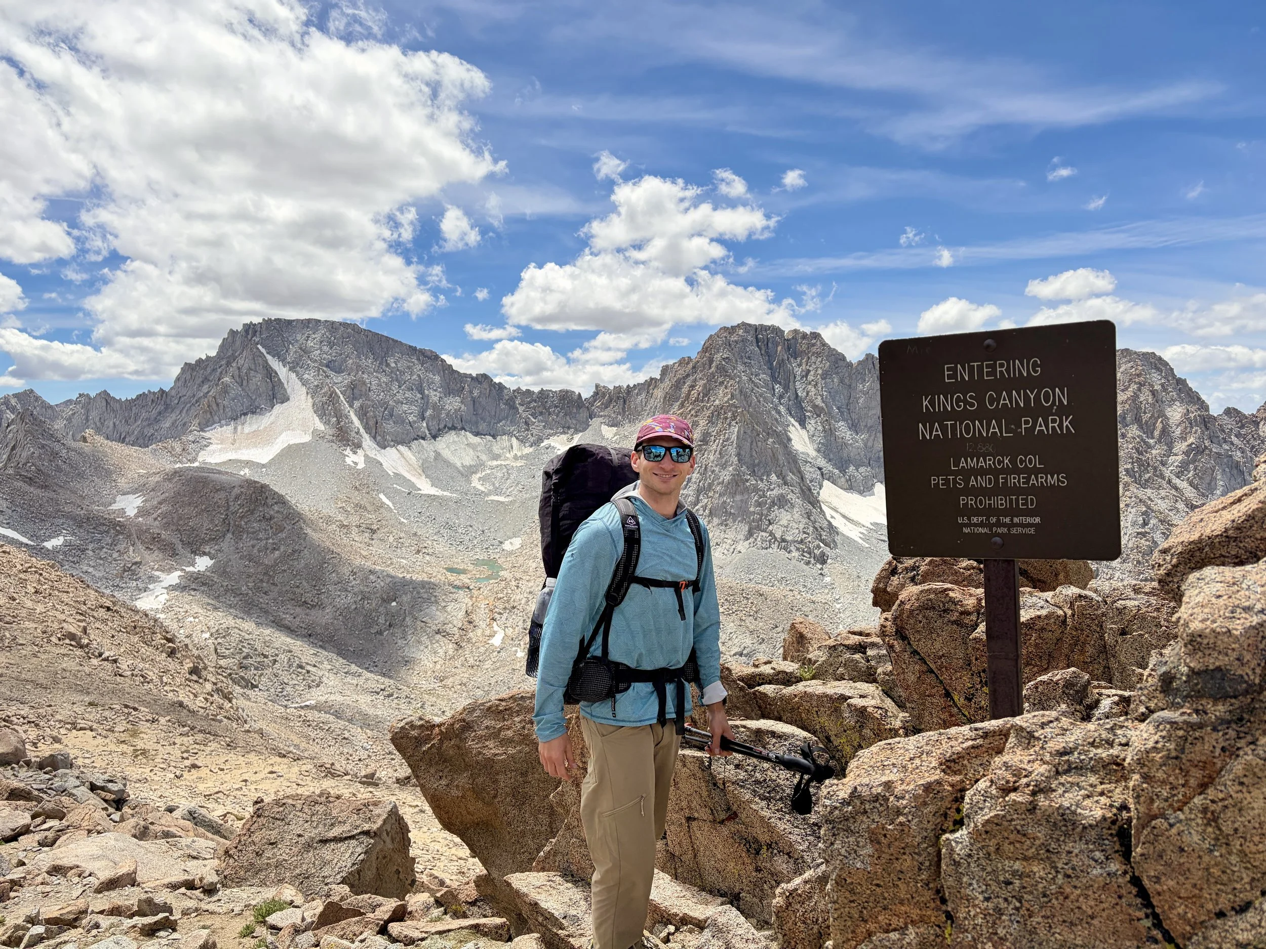
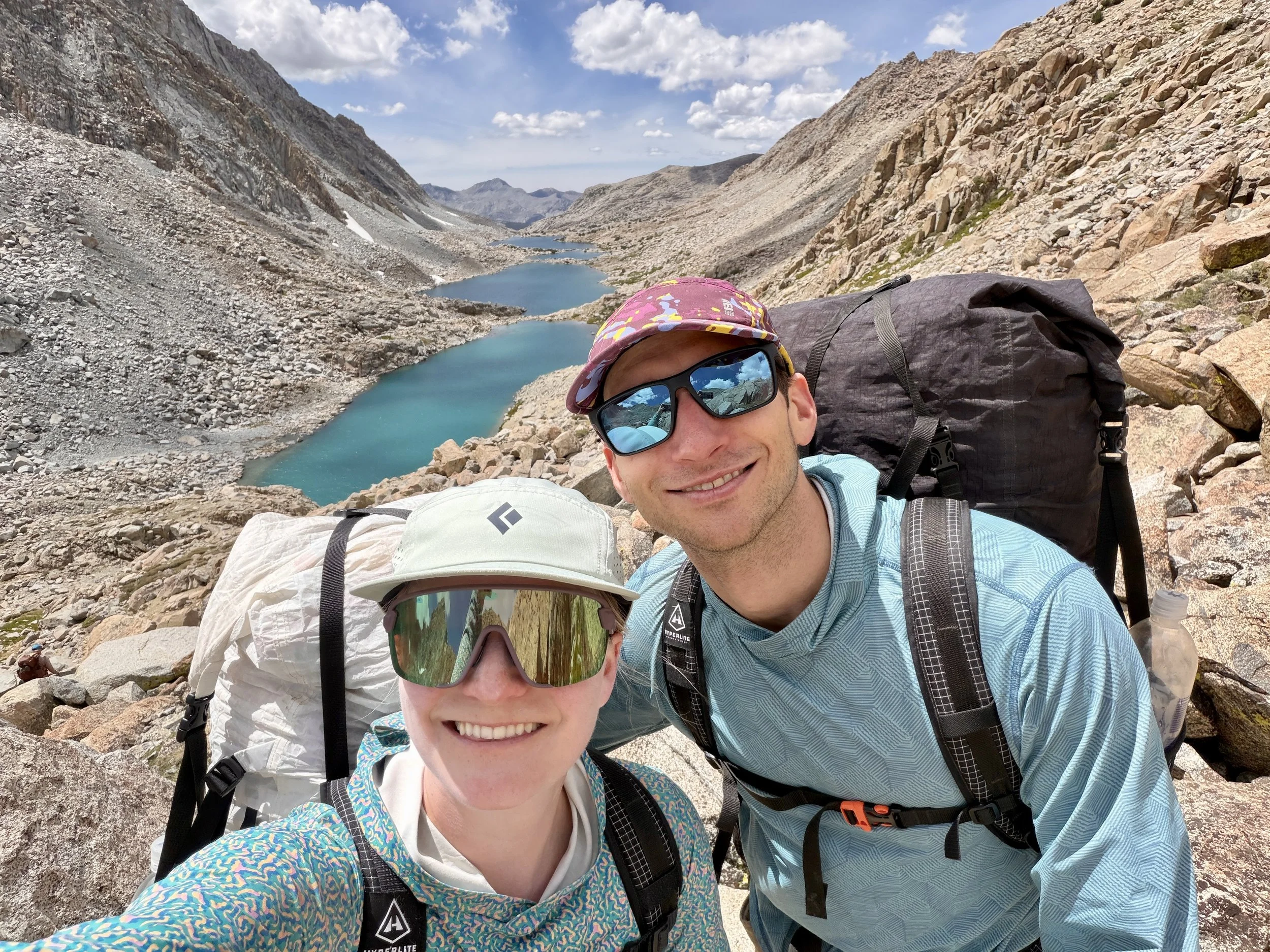
We started walking from the trailhead towards the North Lake Campground and then got on to the Lamarck Lakes trail pretty quickly. After a few miles of steady elevation gain, we found ourselves at Lower Lamarck Lake which was a beautiful lake. We stopped to have a snack and take in the view. After a short break, we headed up to Upper Lamarck Lake and then continued on the trail that would take us to Lamarck Col. The trail up to the Col was only 5.8 miles, but it gains almost 3,700 ft of elevation in that distance, and with packs full of 7 days of food, we definitely felt that elevation gain in our legs by the end of the day.
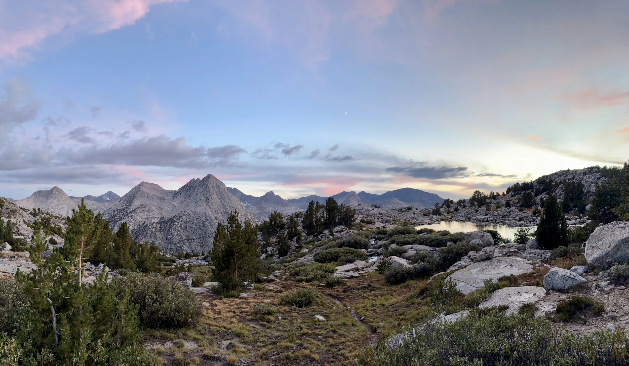
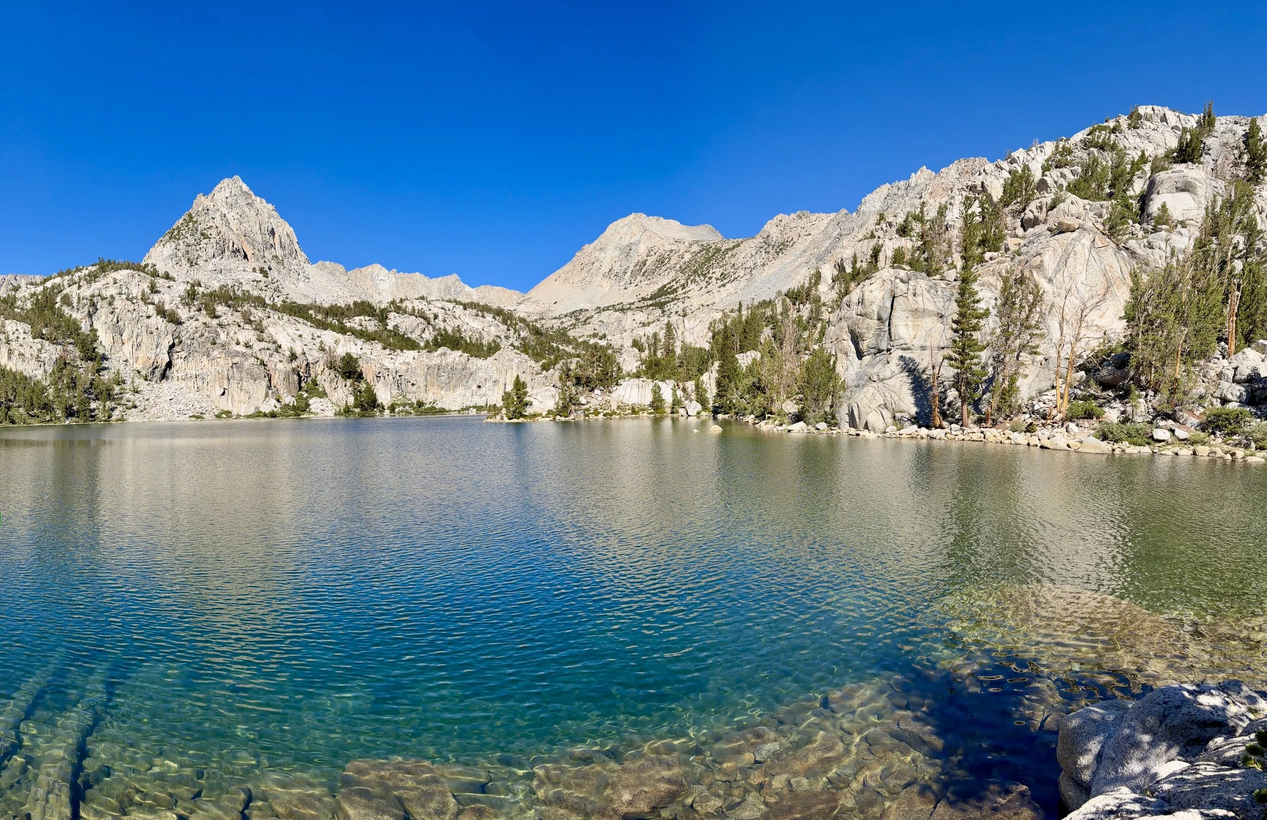
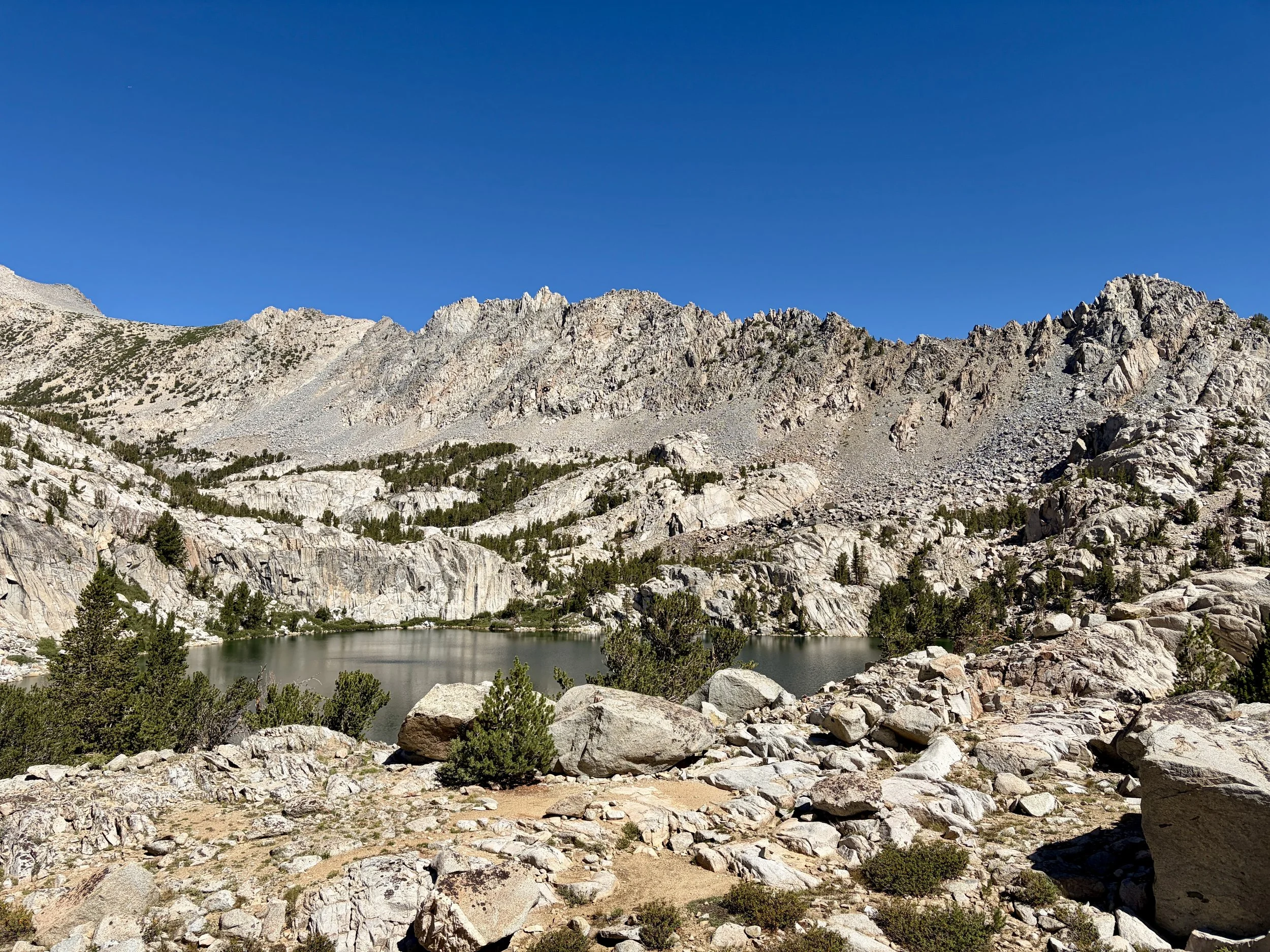
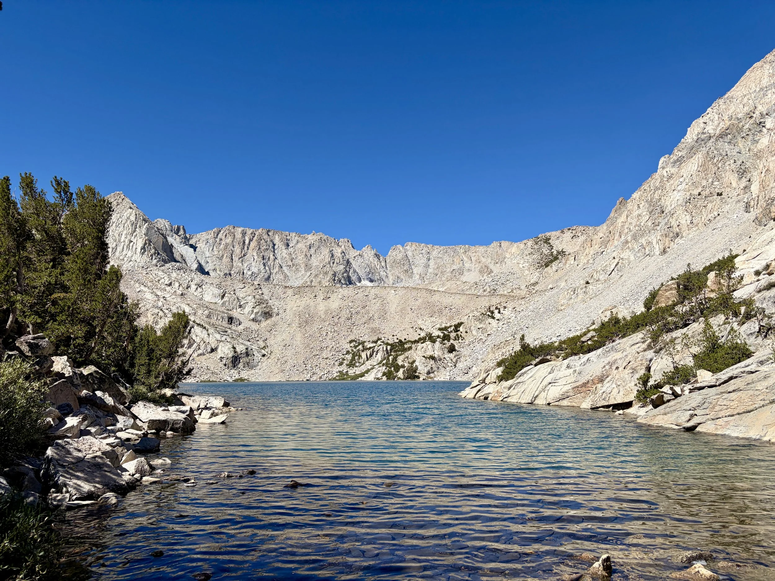
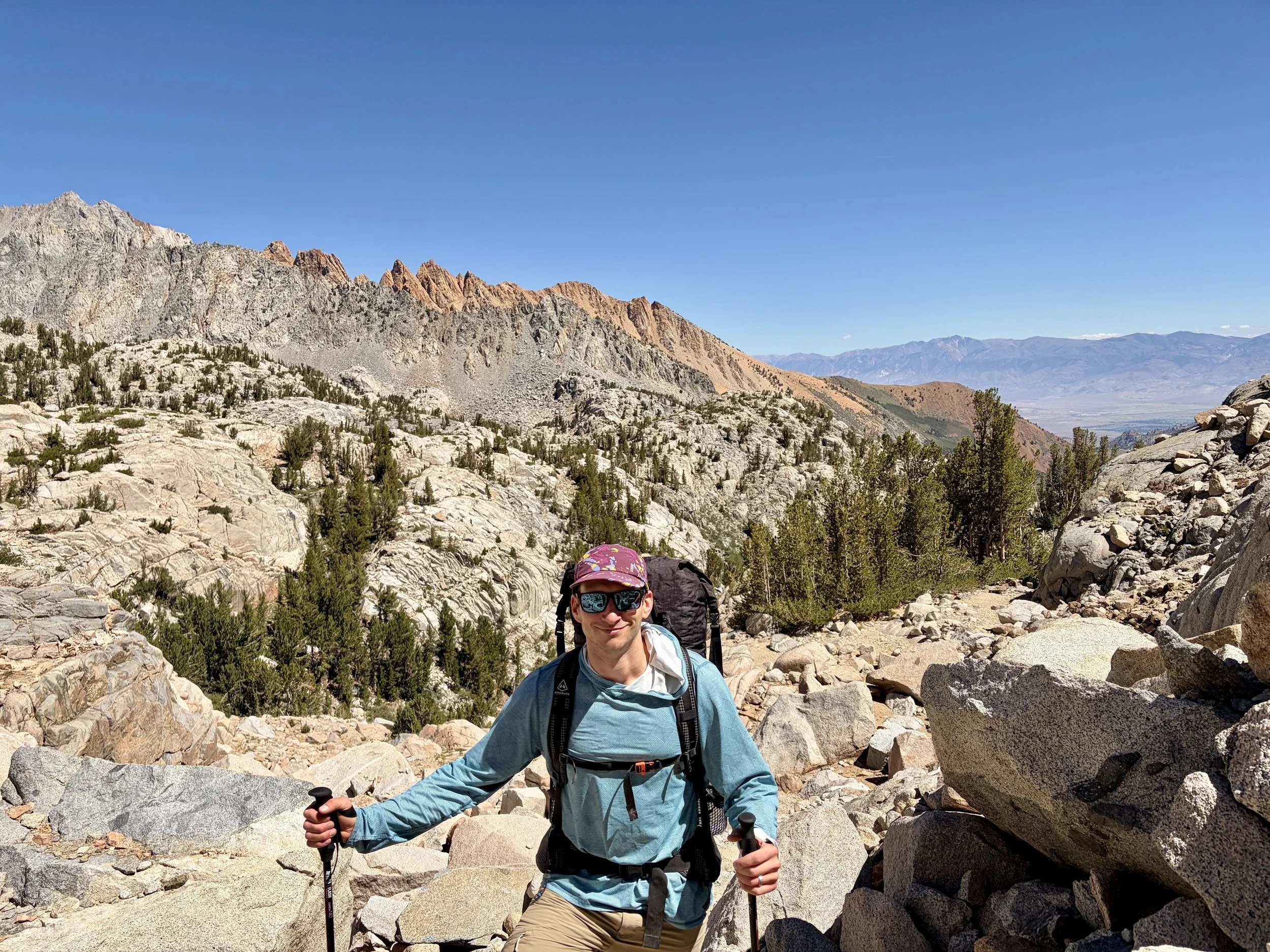
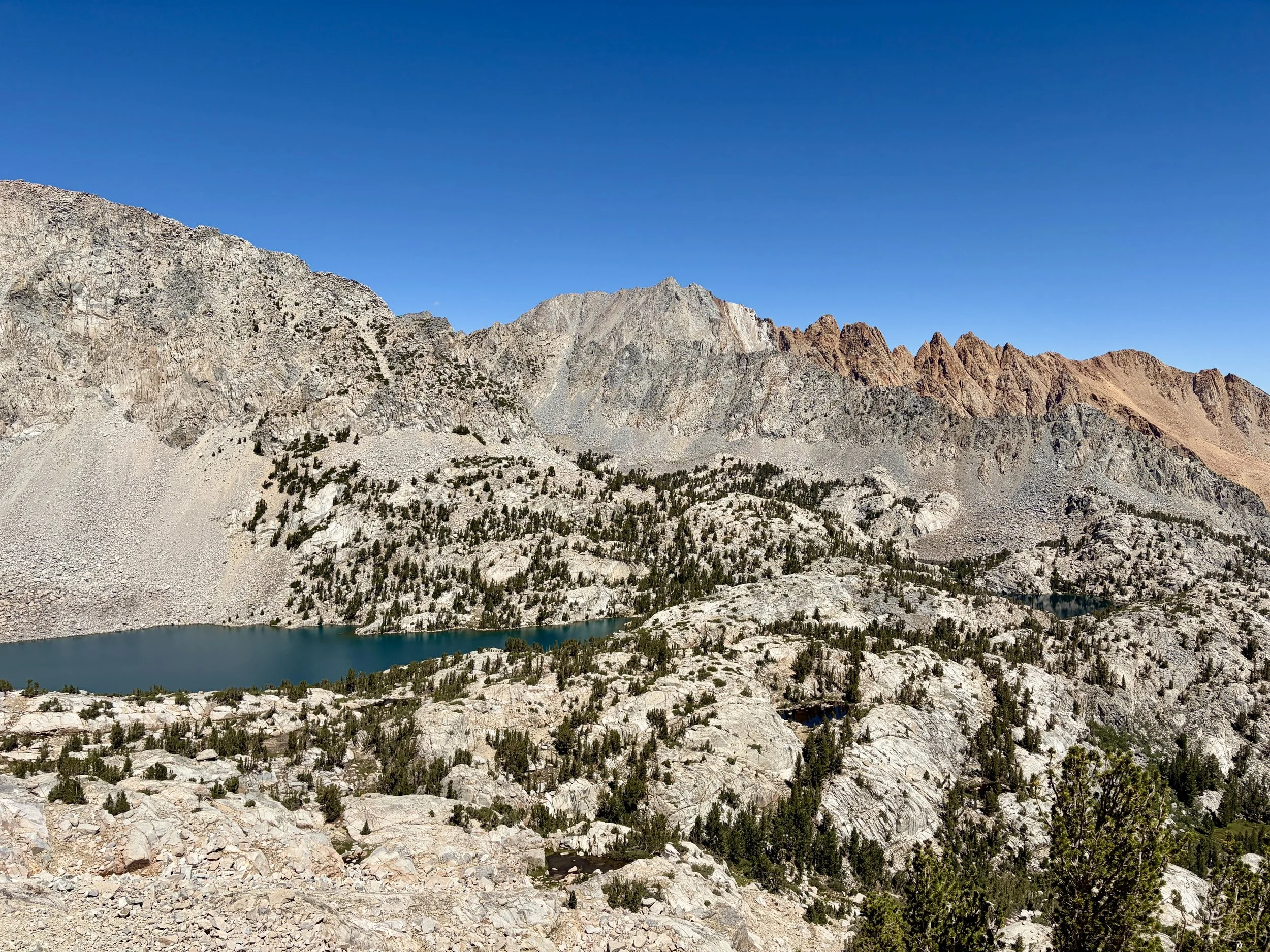
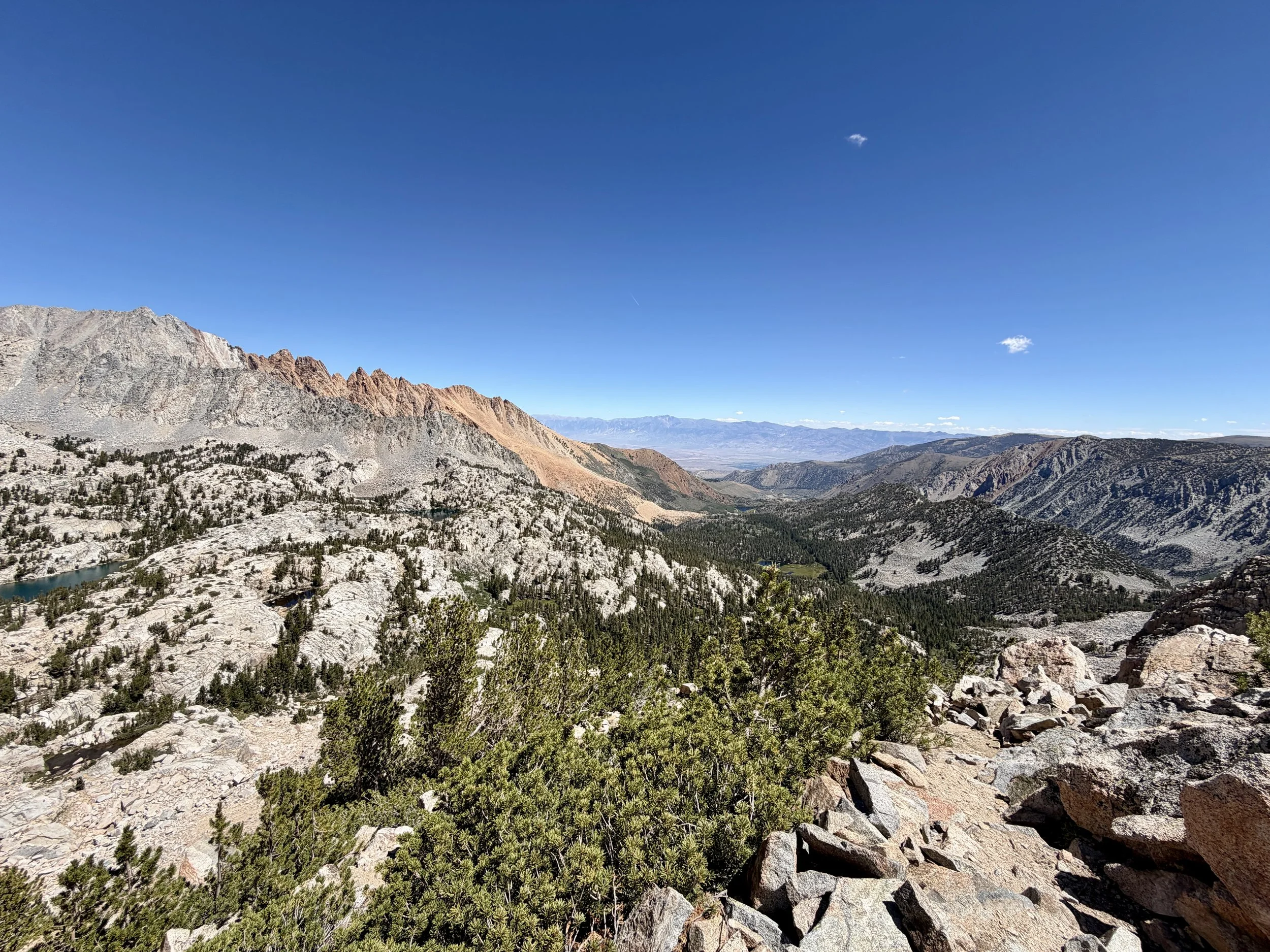
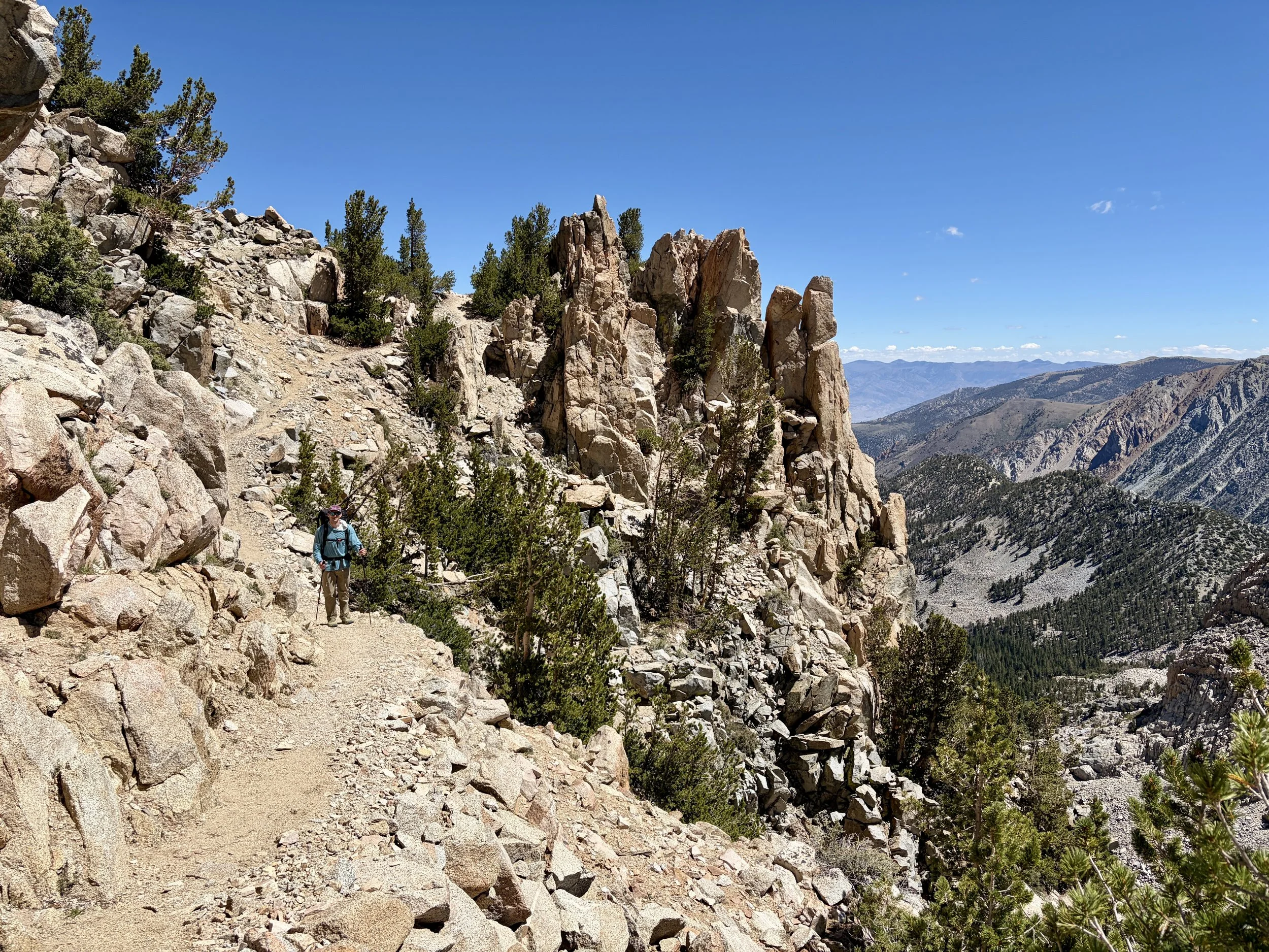
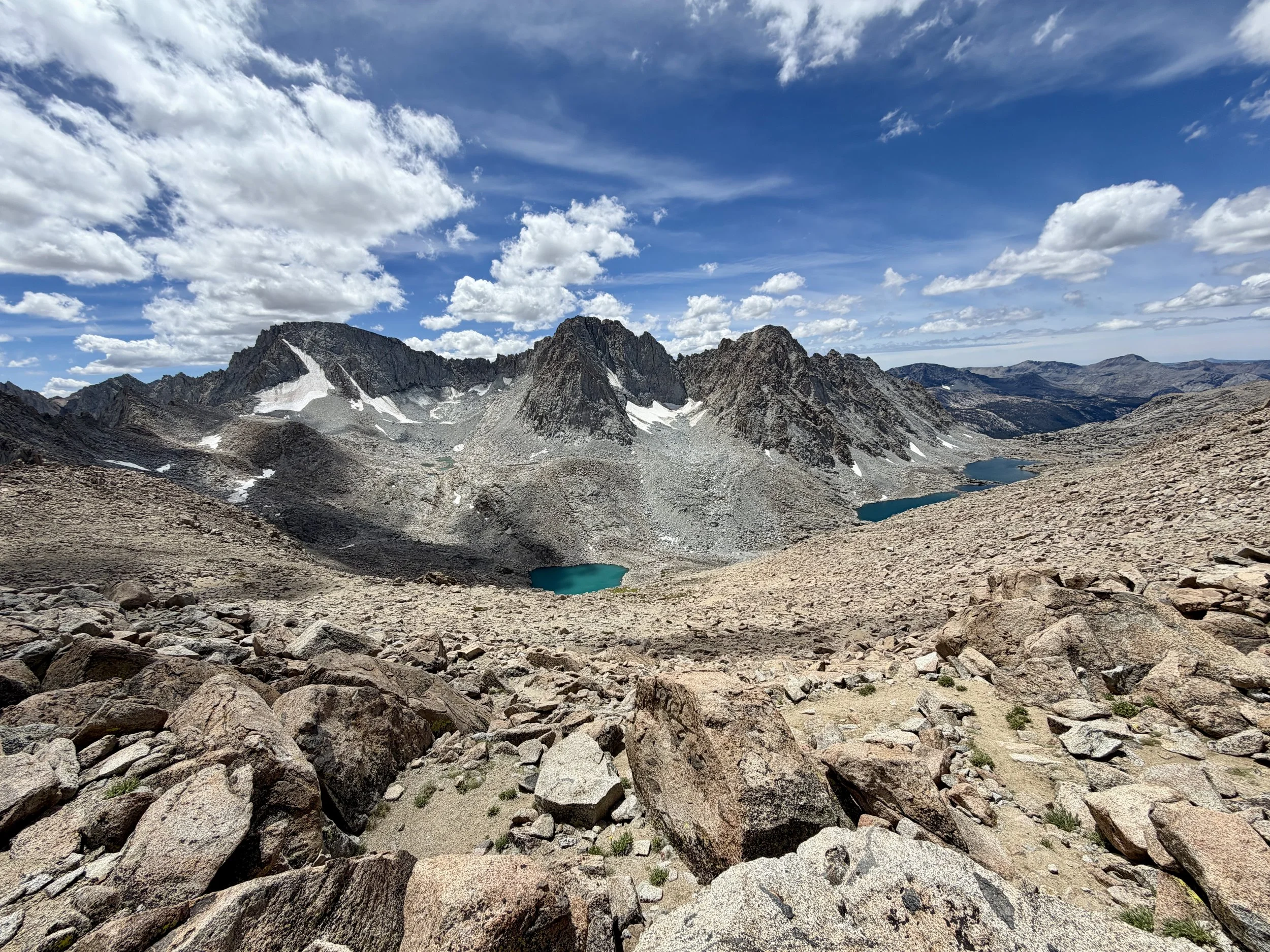
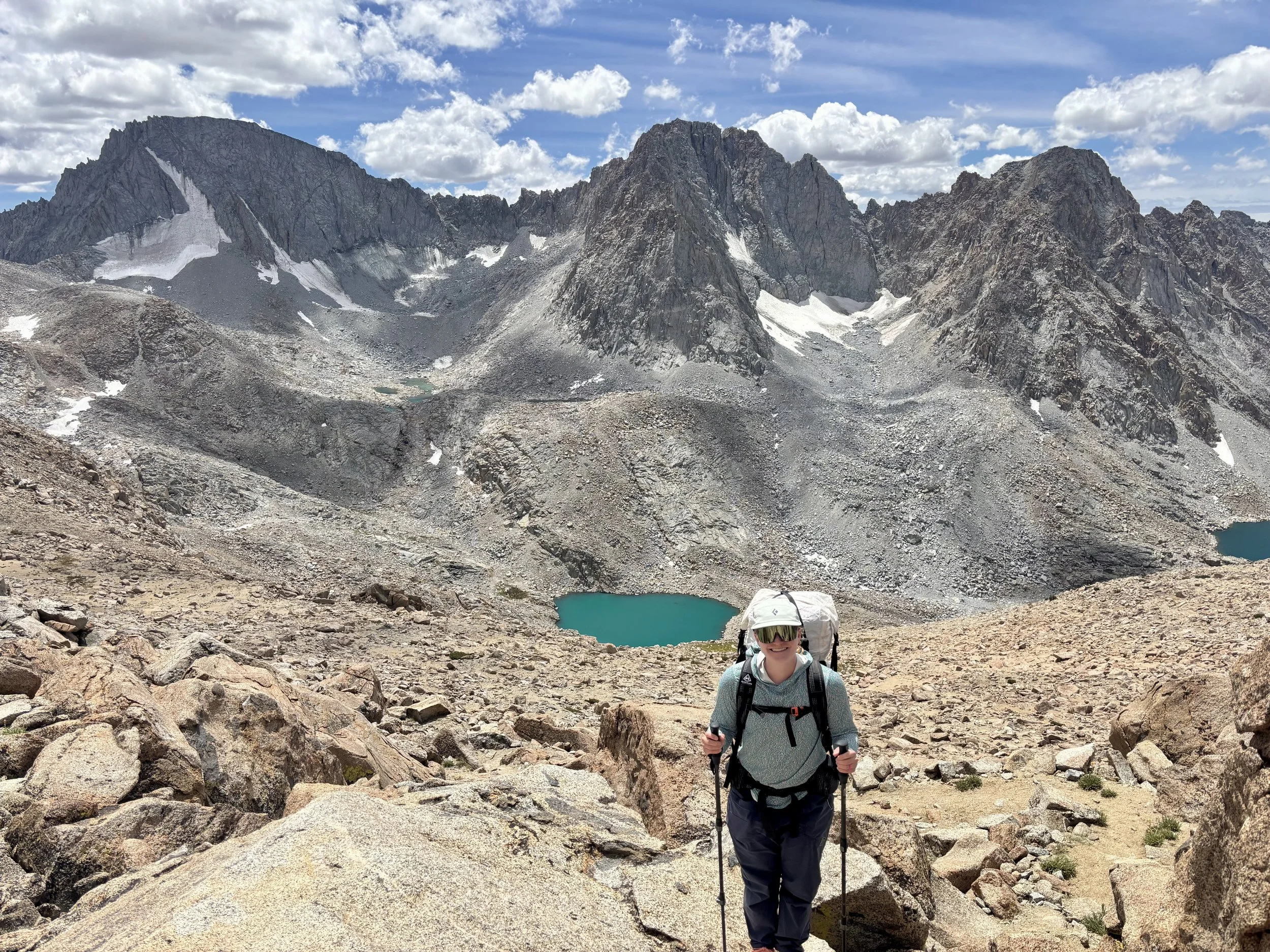
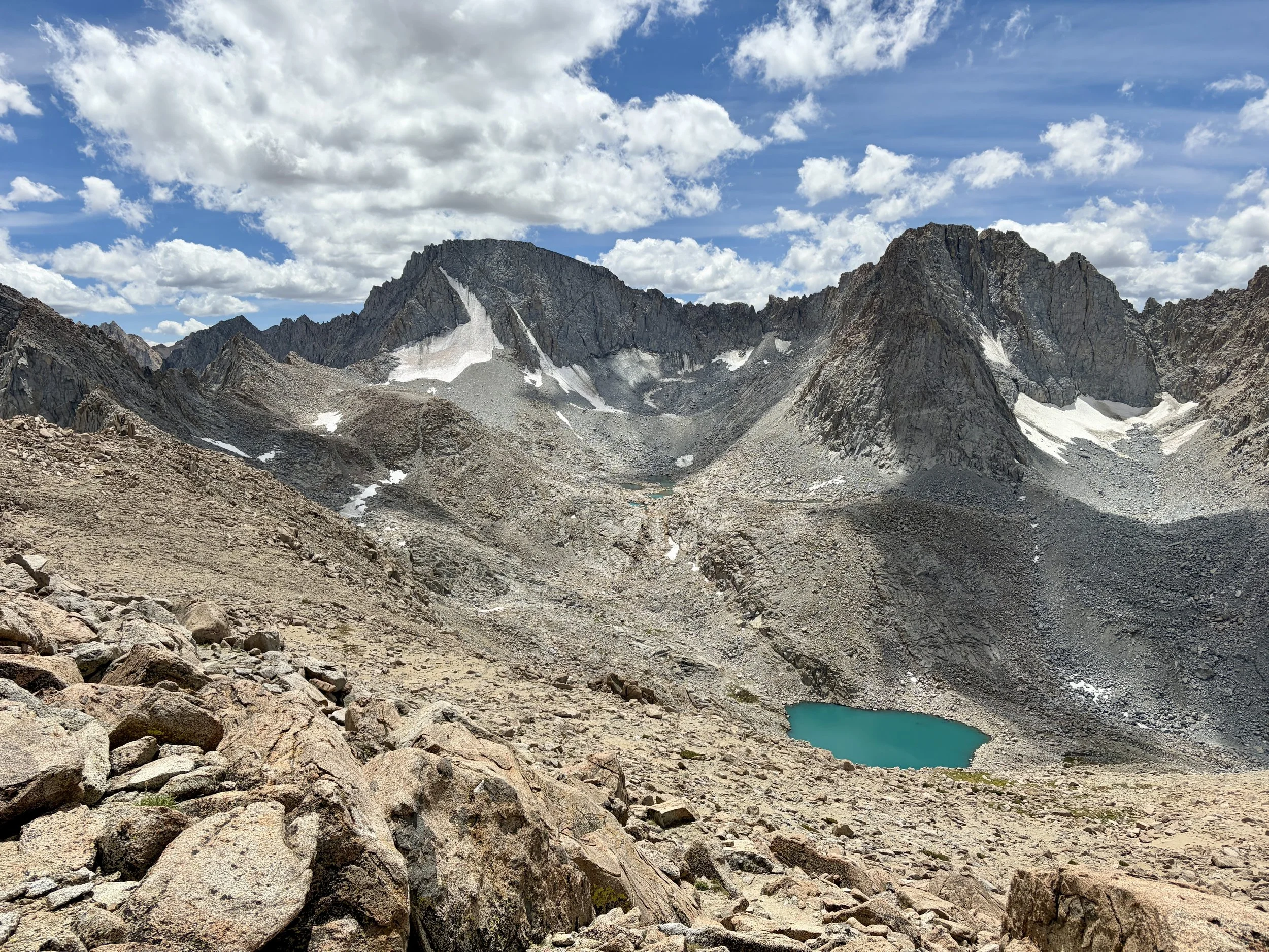
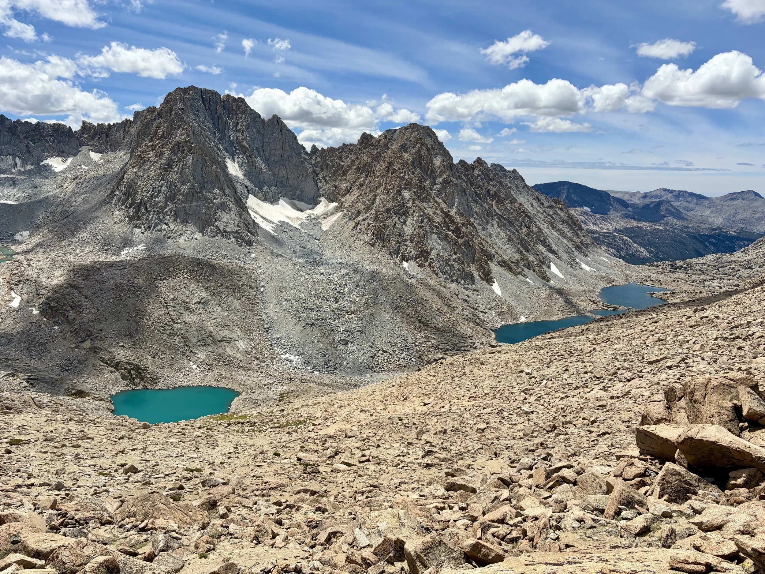
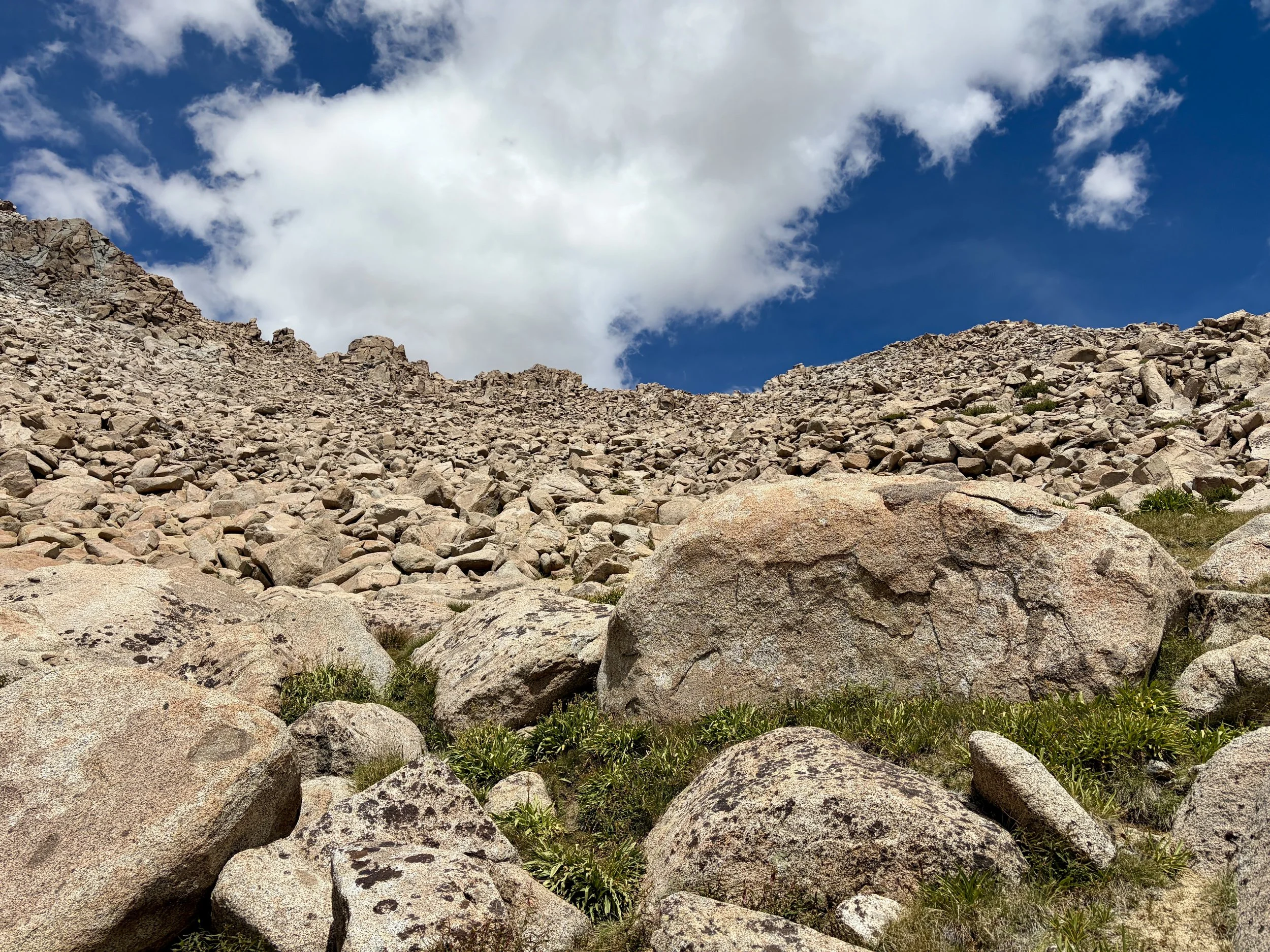
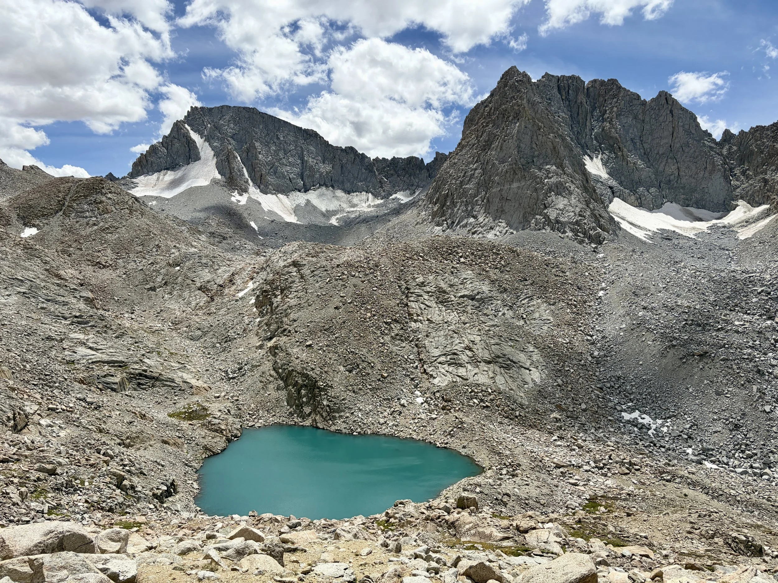
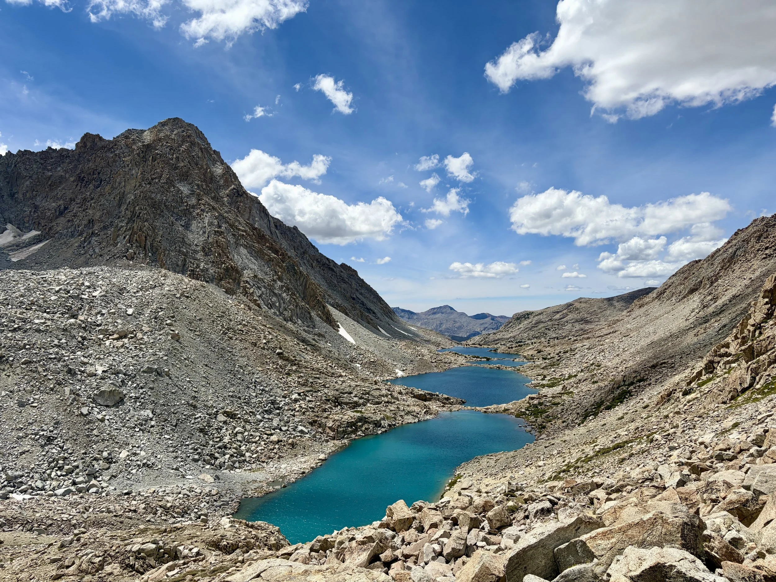
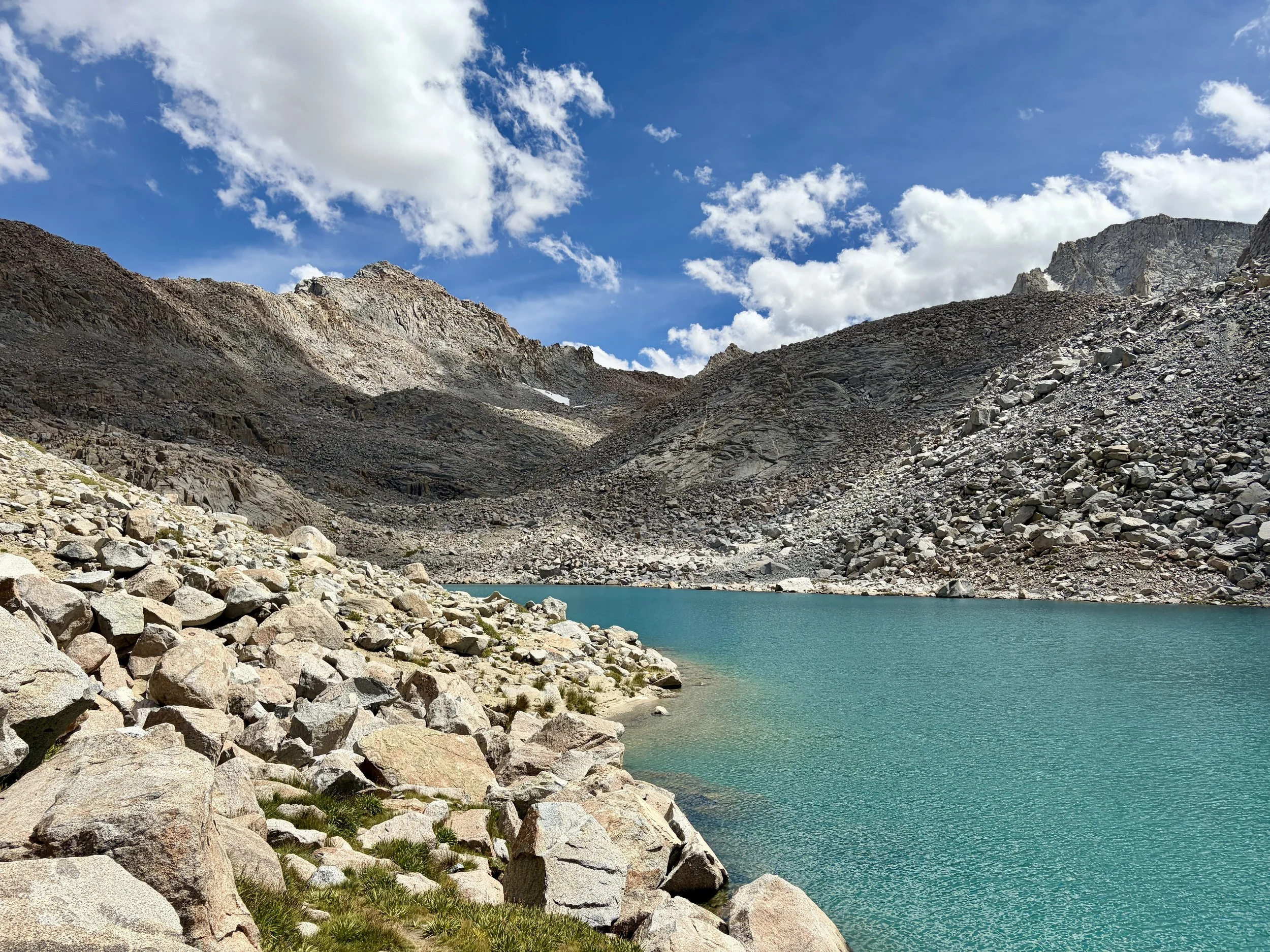
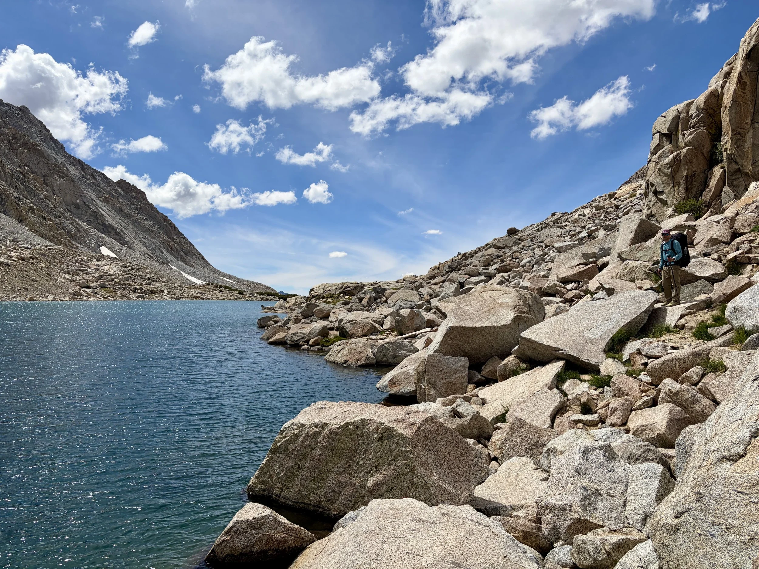
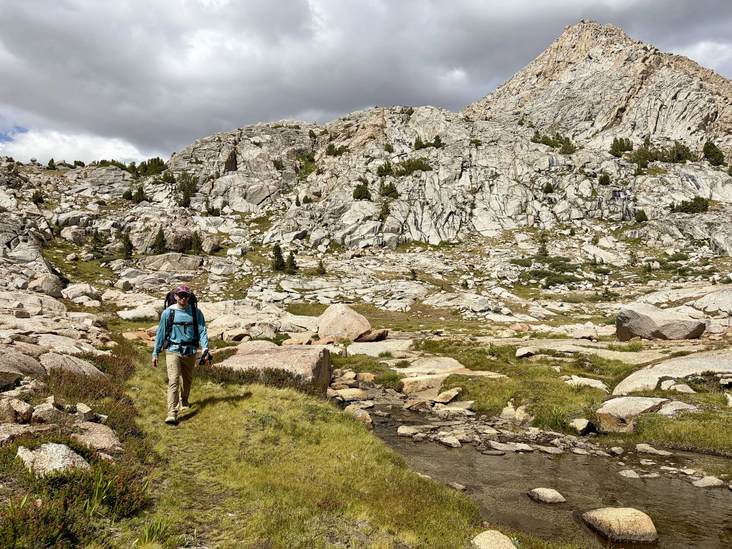
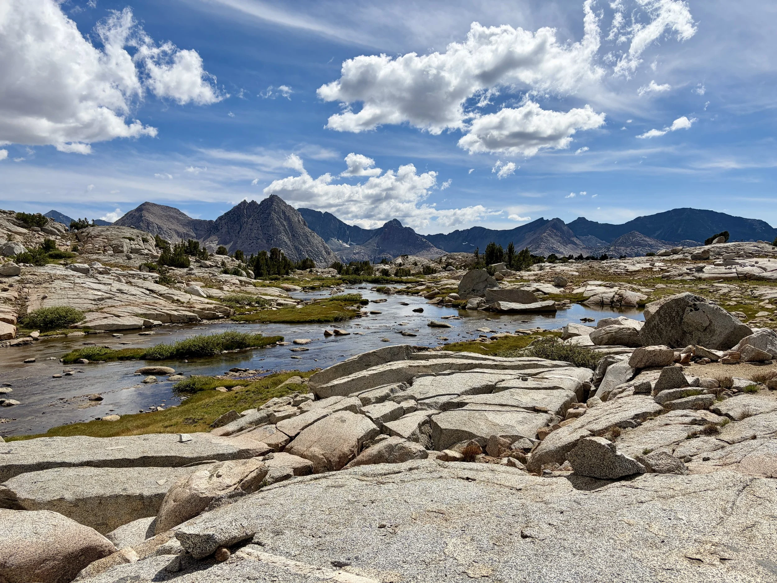
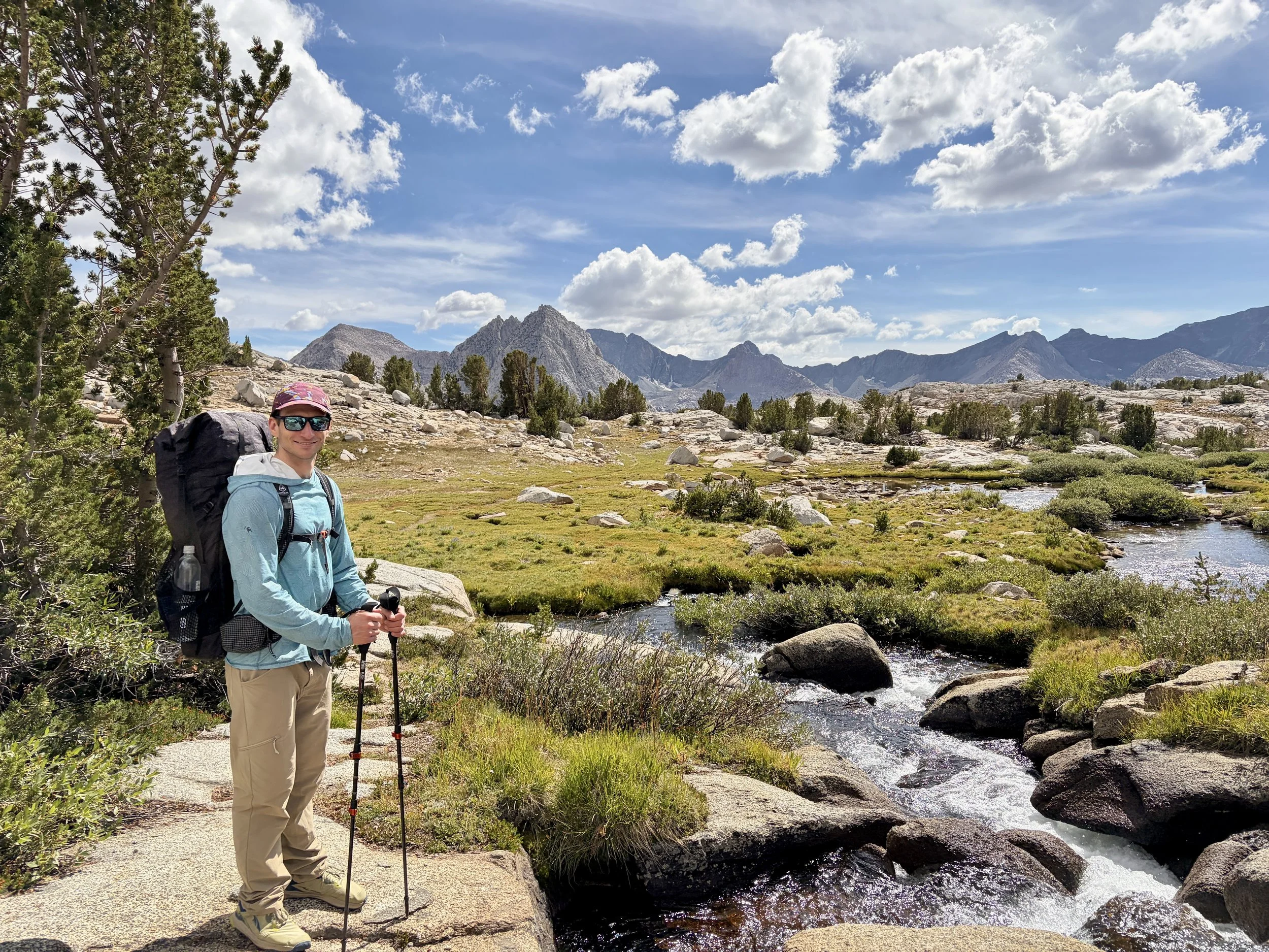
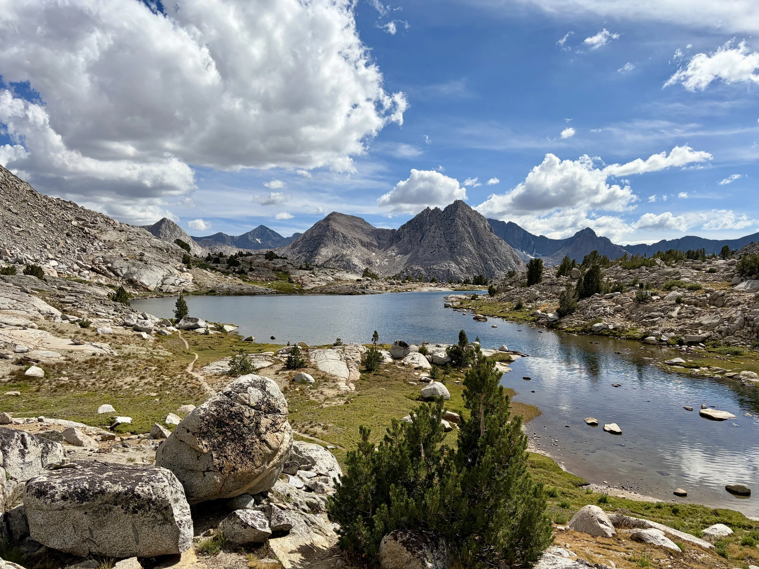
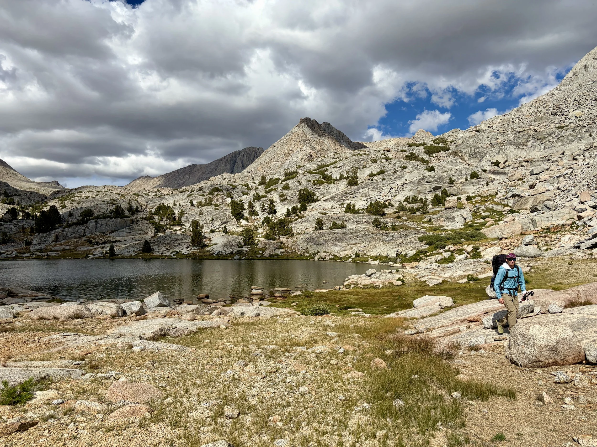
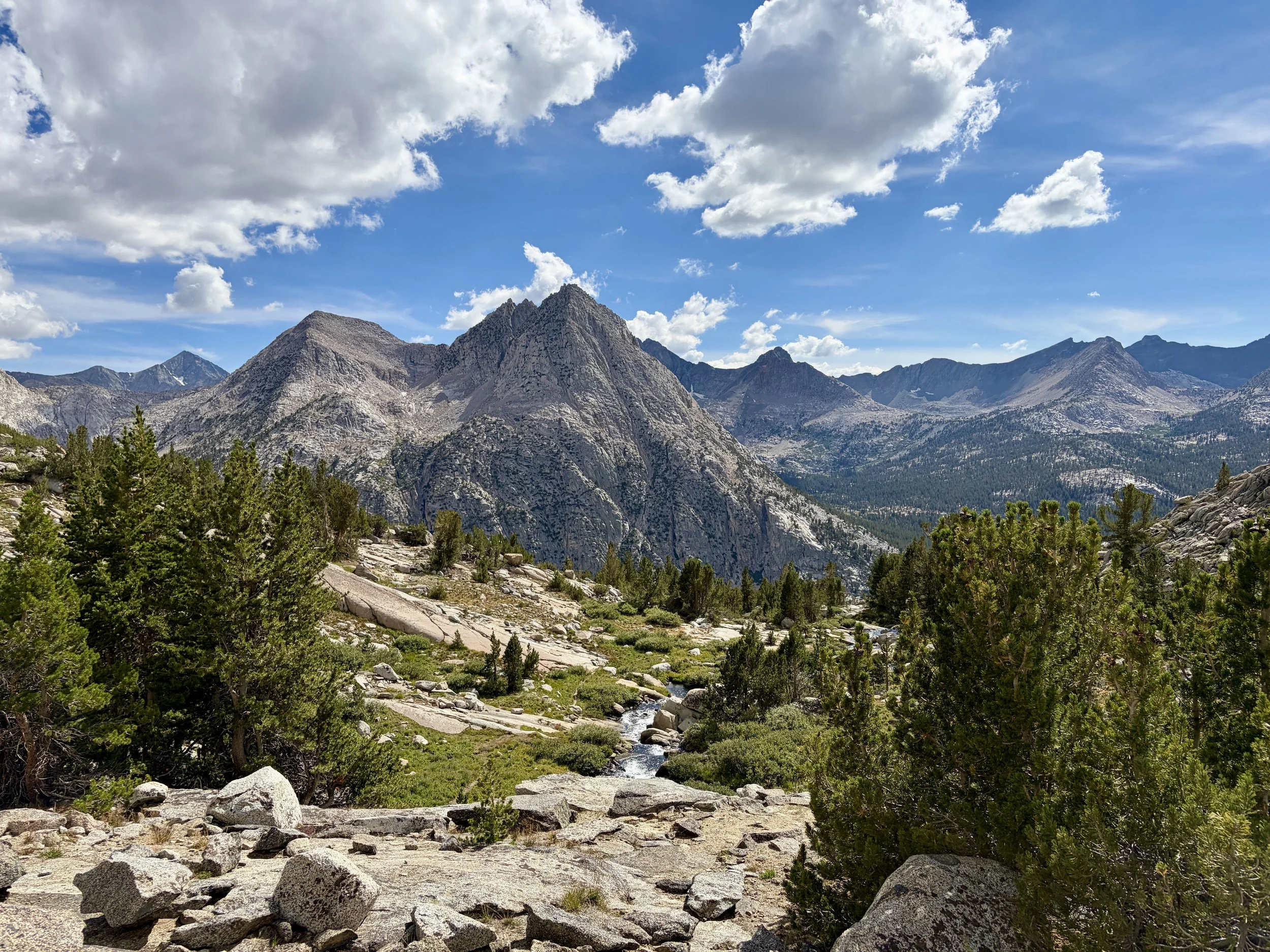
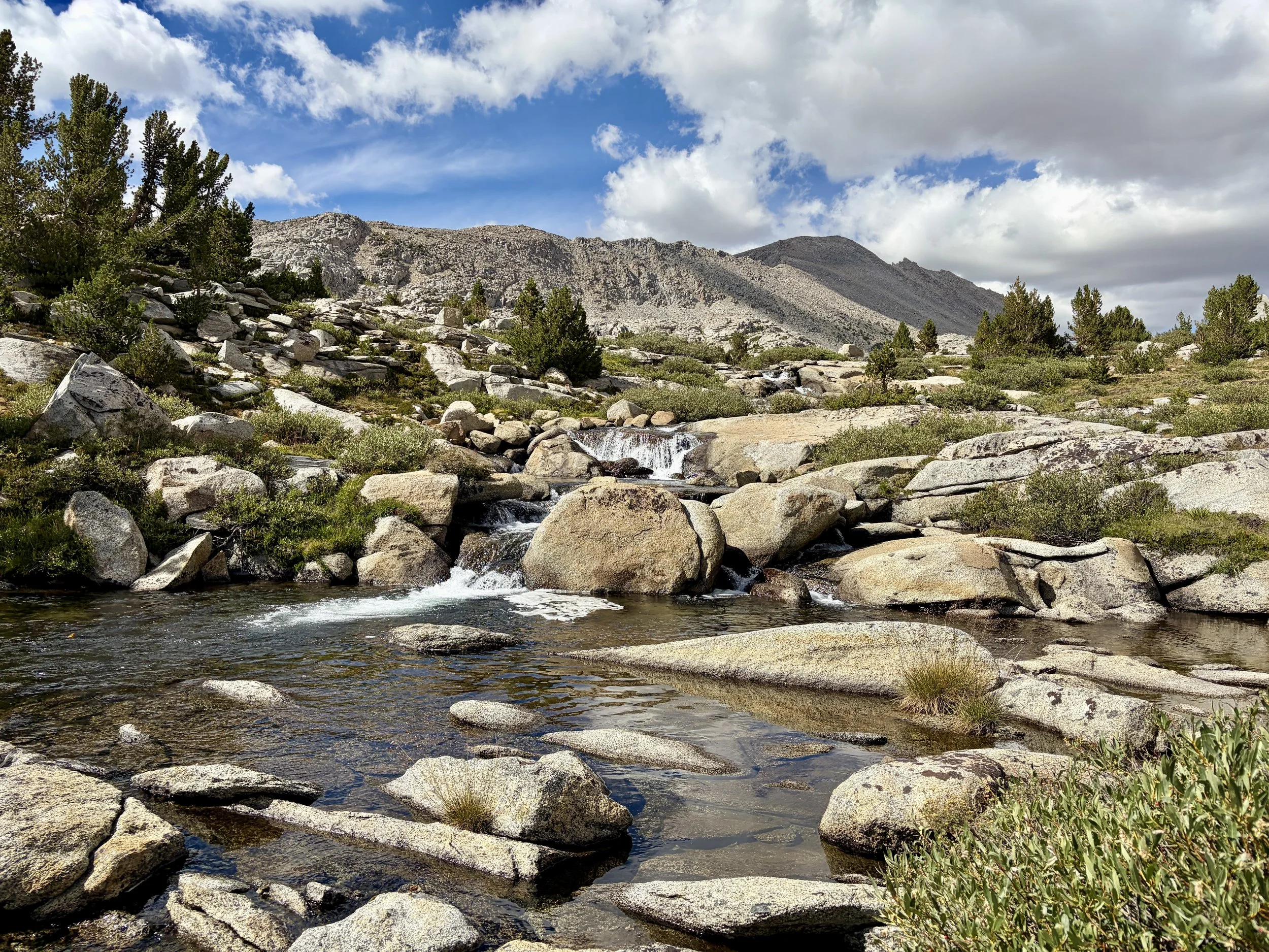
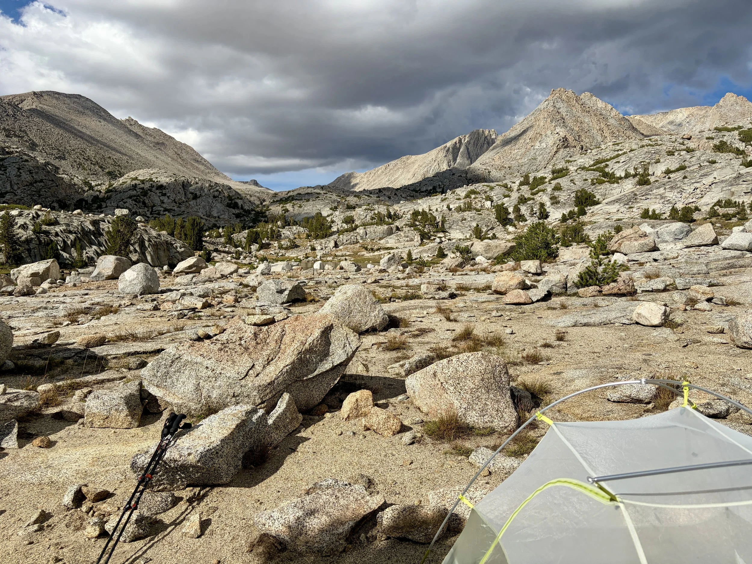
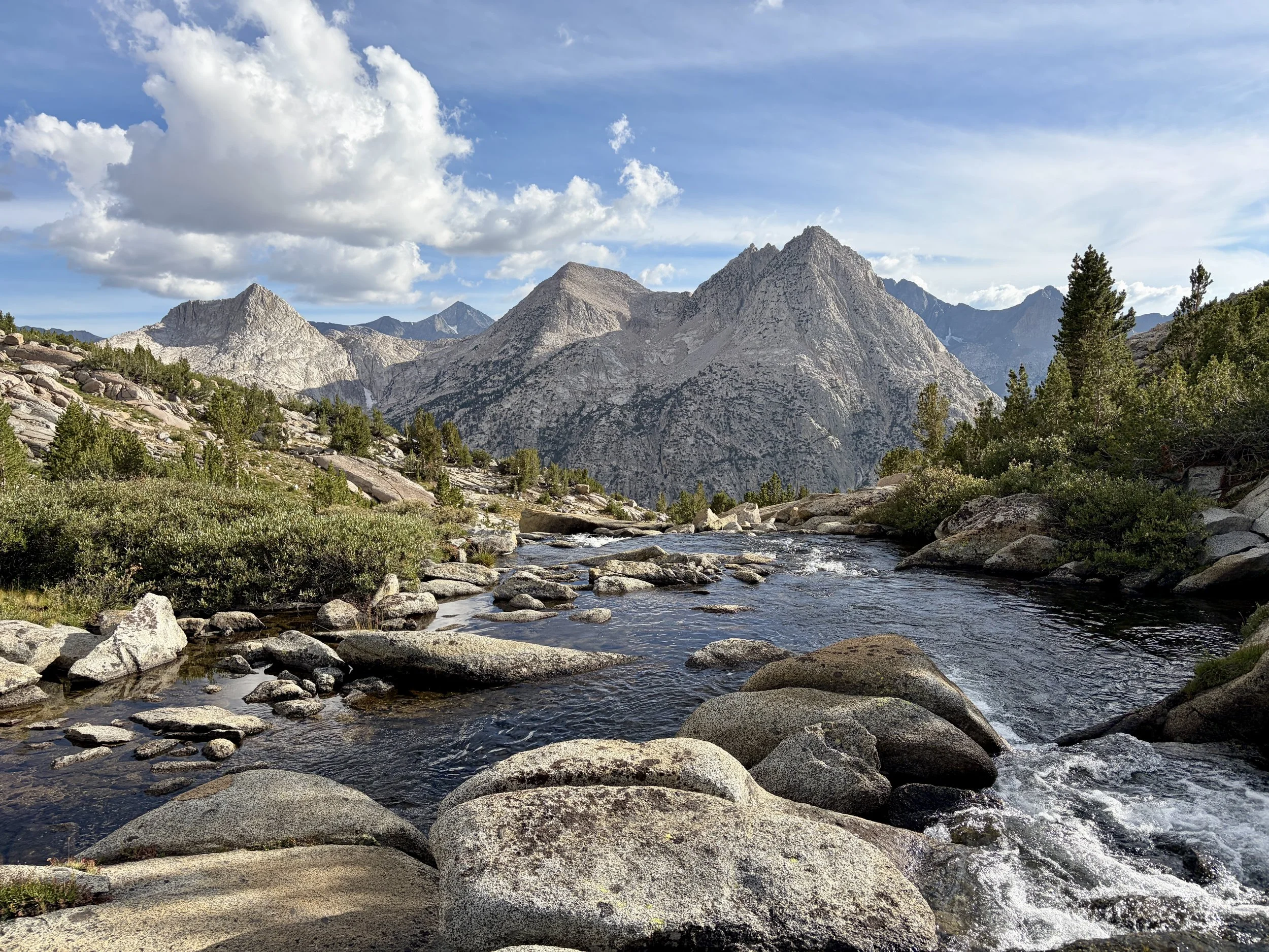
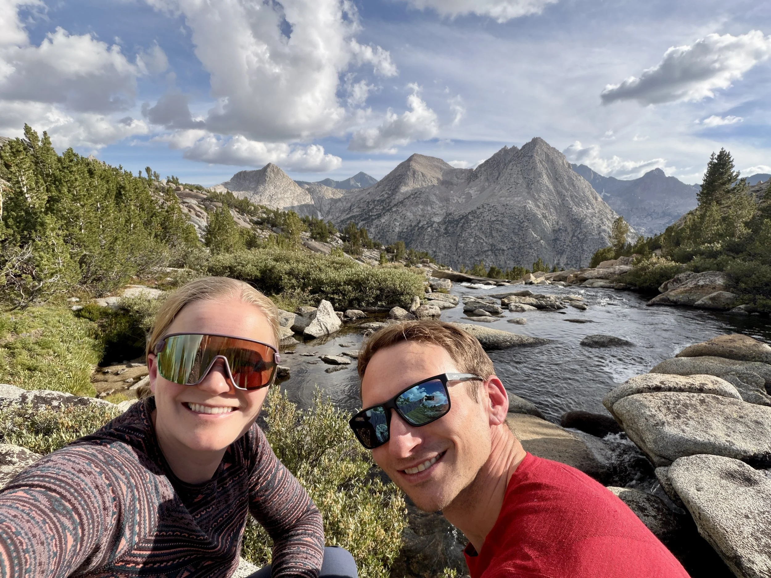
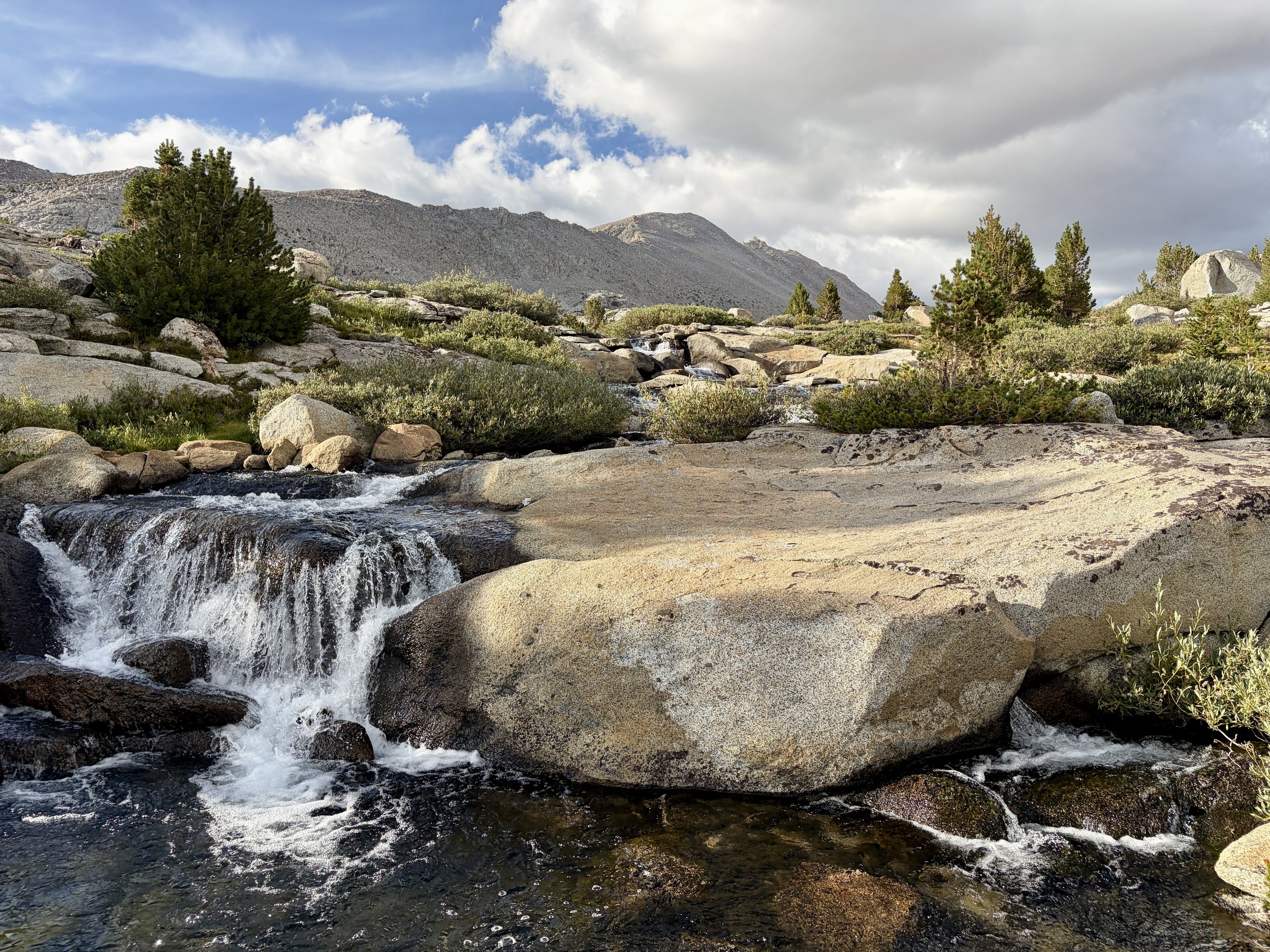
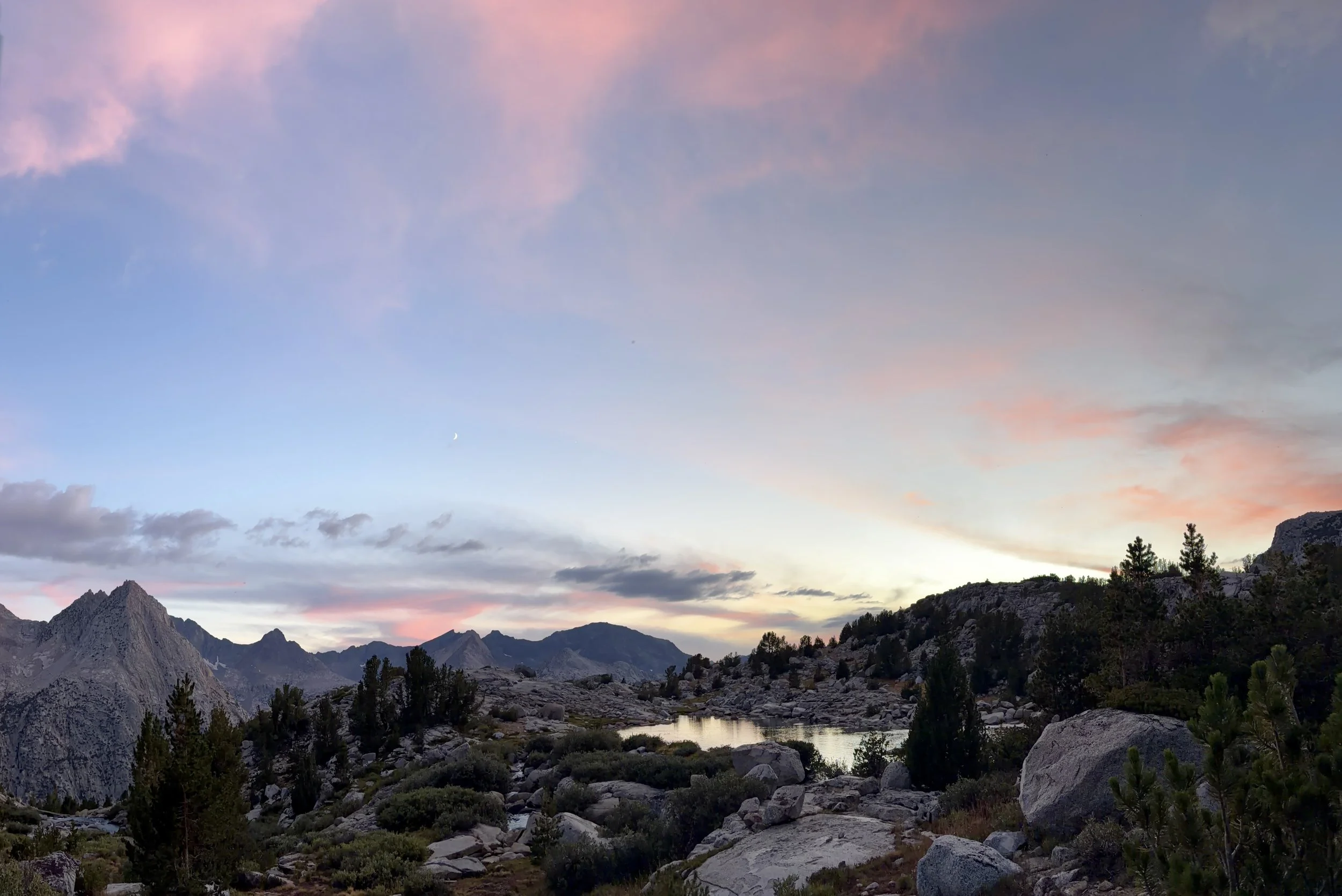
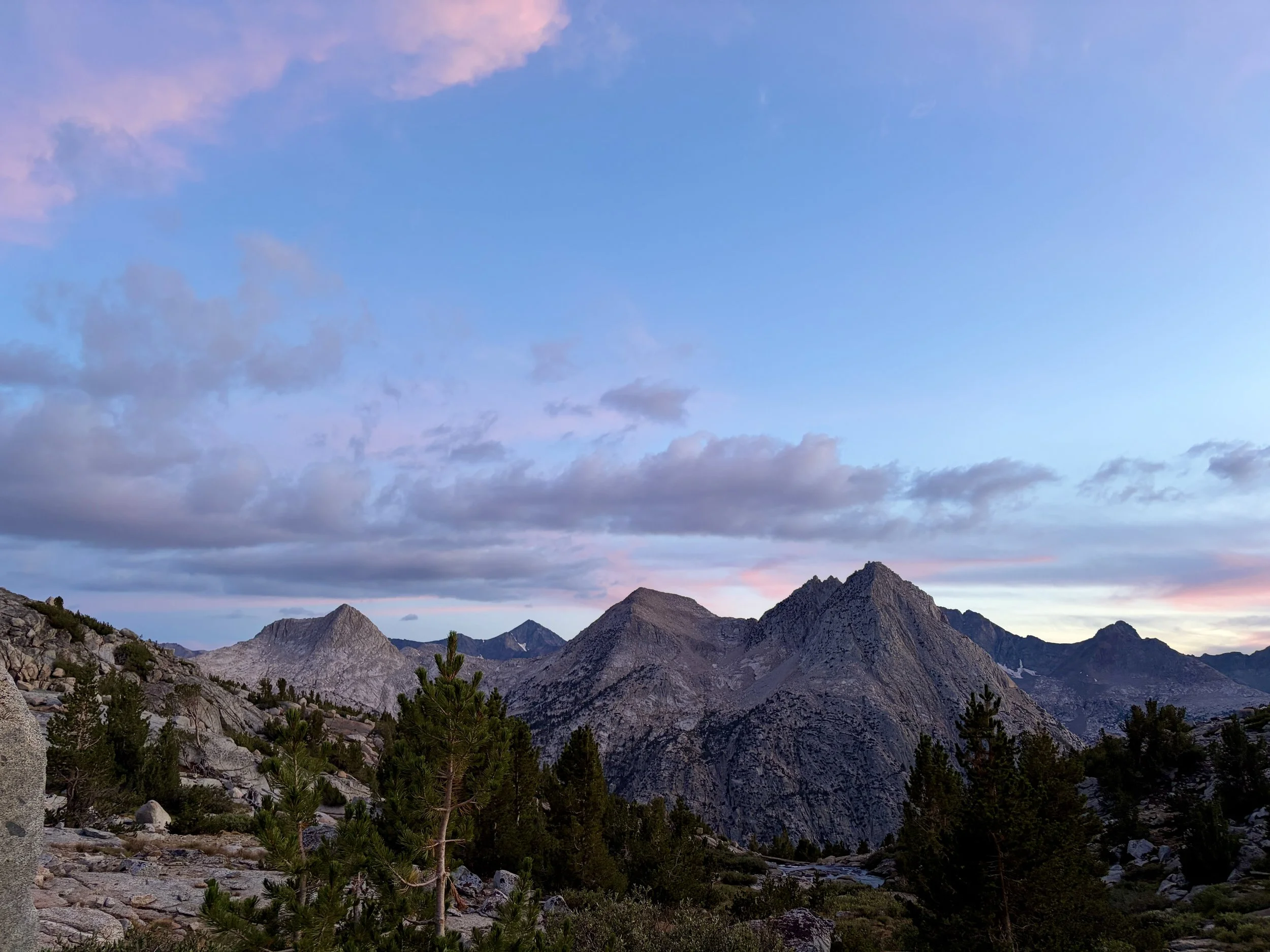
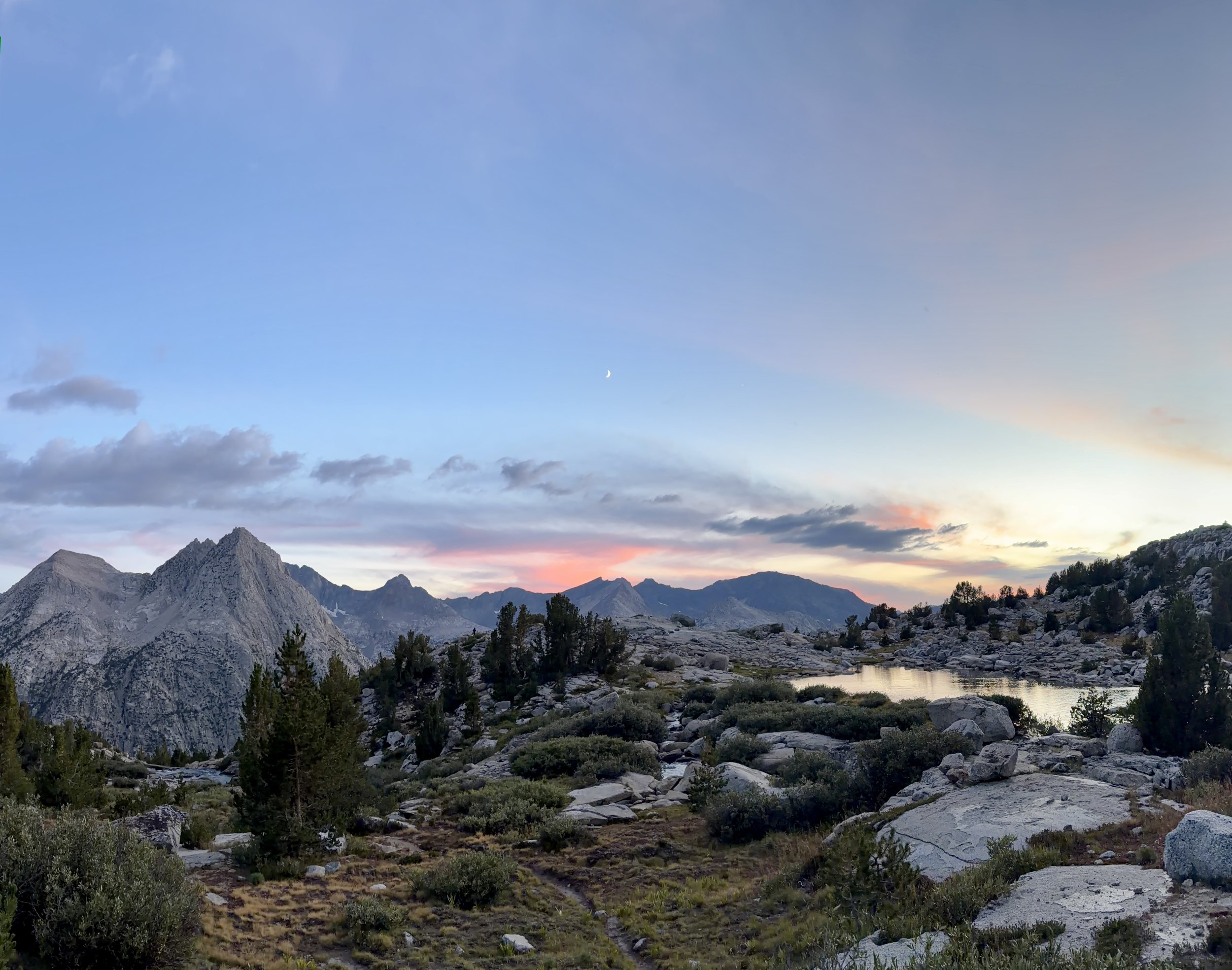
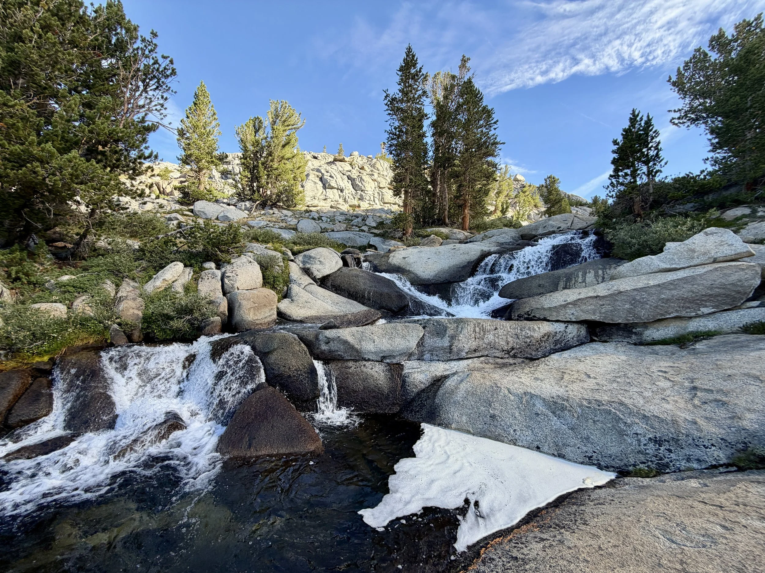
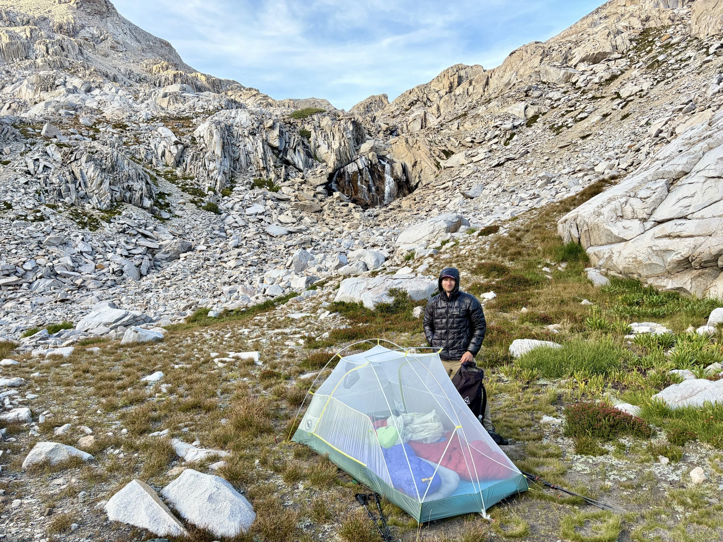
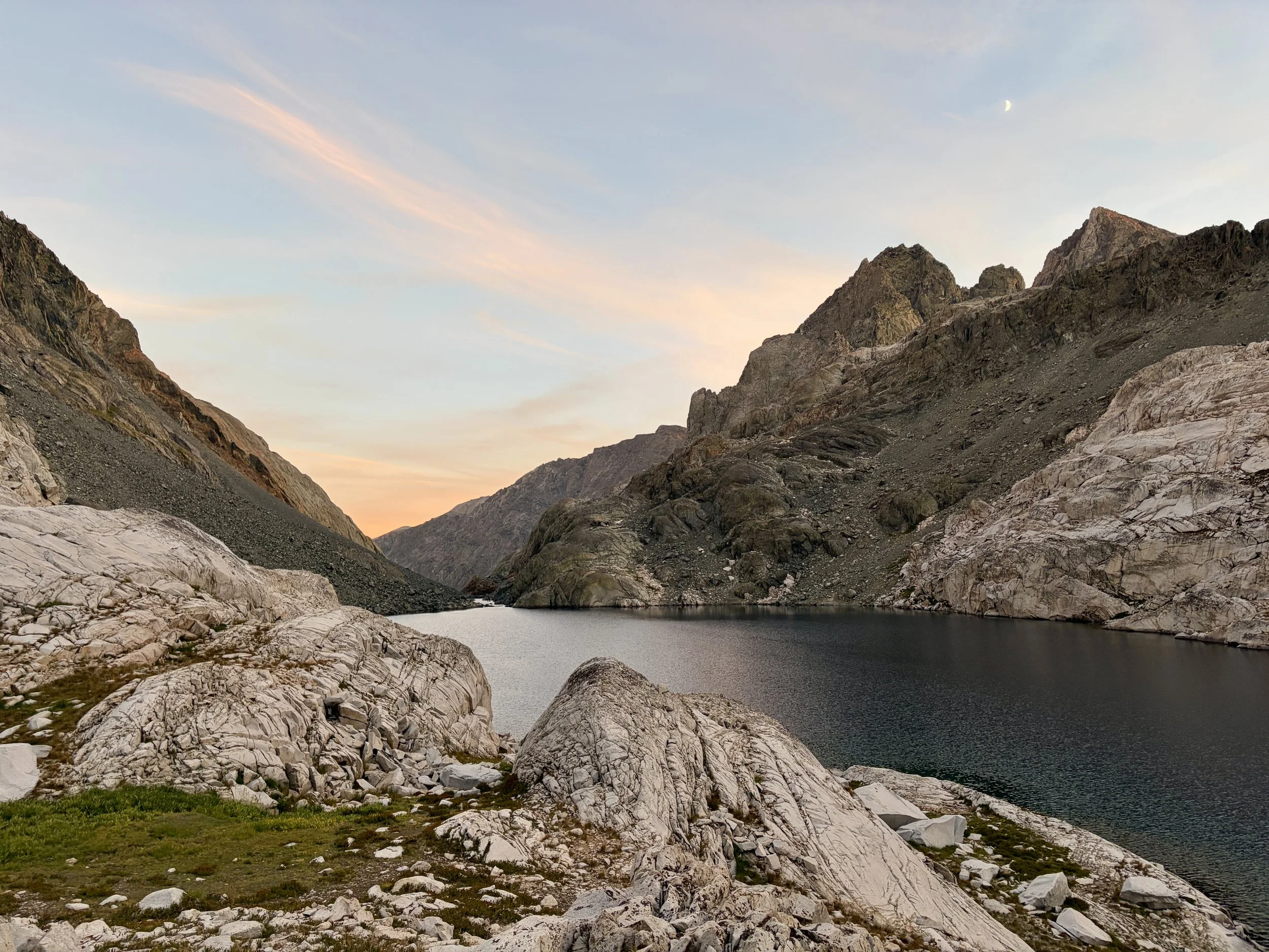
The view from the top of Lamarck Col into Darwin Creek basin was one of my favorites of the day. It’s also where we crossed into King’s Canyon National Park. We headed down the south facing side of the col and found ourselves walking along the beautiful lakes while enjoying views of Mount Darwin, Mount Mendel, and Mount Stephen Jay Gould. The hiking along these lakes included more boulder scrambling than I anticipated, which kept us on our toes. Once we hit the end of the last lake, we started descending towards Darwin Bench. We decided to pick a camping spot near the largest lake on the Bench that evening and the views from that campsite are amongst the best views I’ve had from a campsite. It was a long, hot day and we decided to take our first of many lake dips to cool off on this trip. We then spent most of our evening staring at The Hermit and imagining all the different ways to climb the peak. Another thing I loved about this campsite is that it was near a creek with a bunch of small waterfalls. It made a great spot to sit and eat dinner. We enjoyed a stunning sunset that night and headed to bed after with full bellies and happy hearts.
Day 1 Stats: 9.22 miles, +4182 ft of elevation gain, -2260 ft of elevation loss
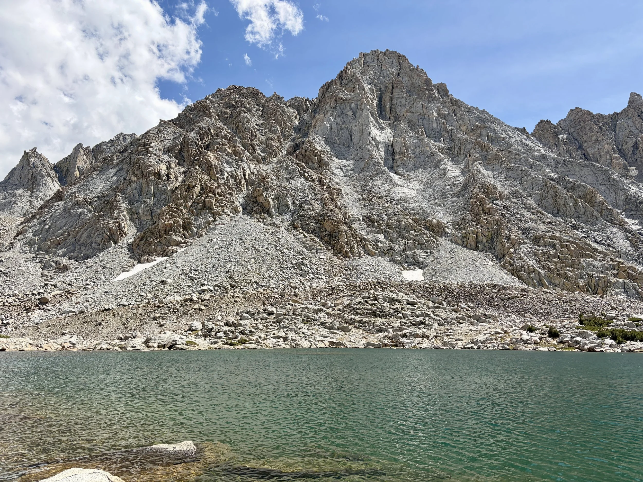
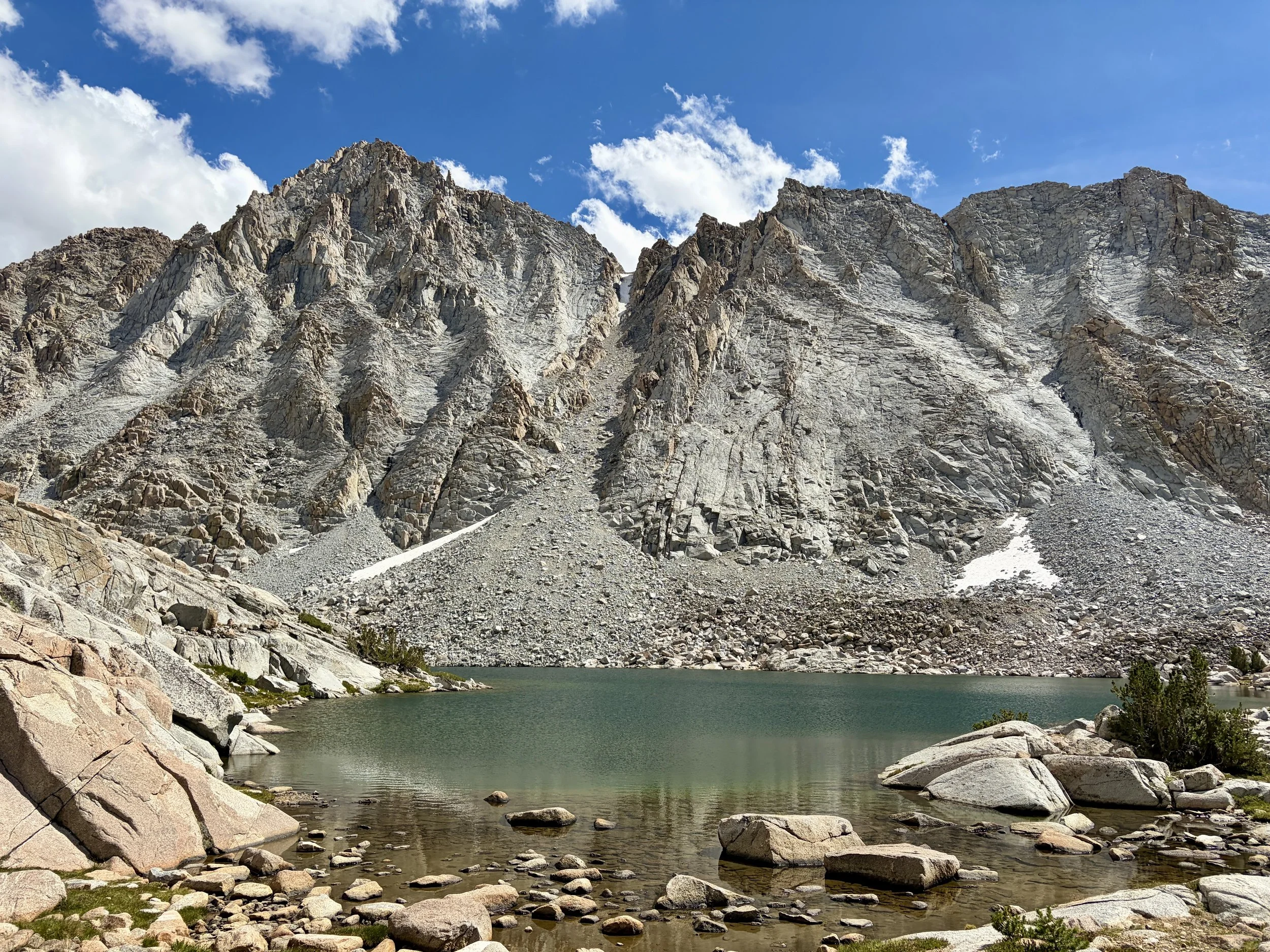
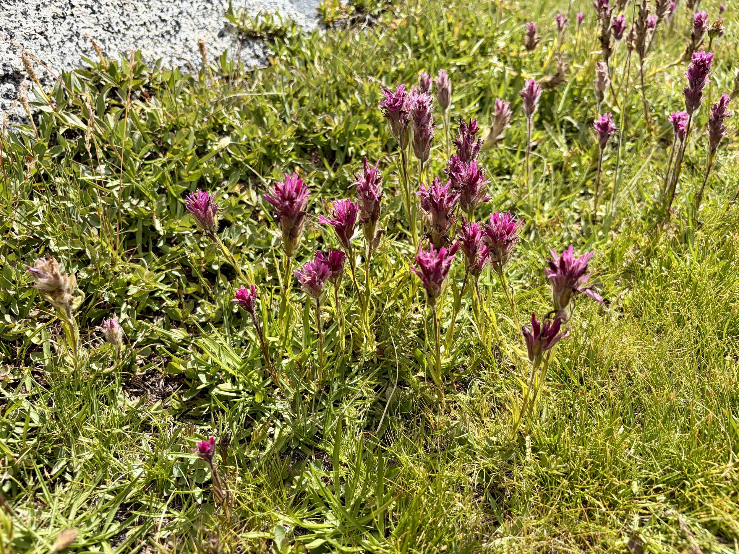
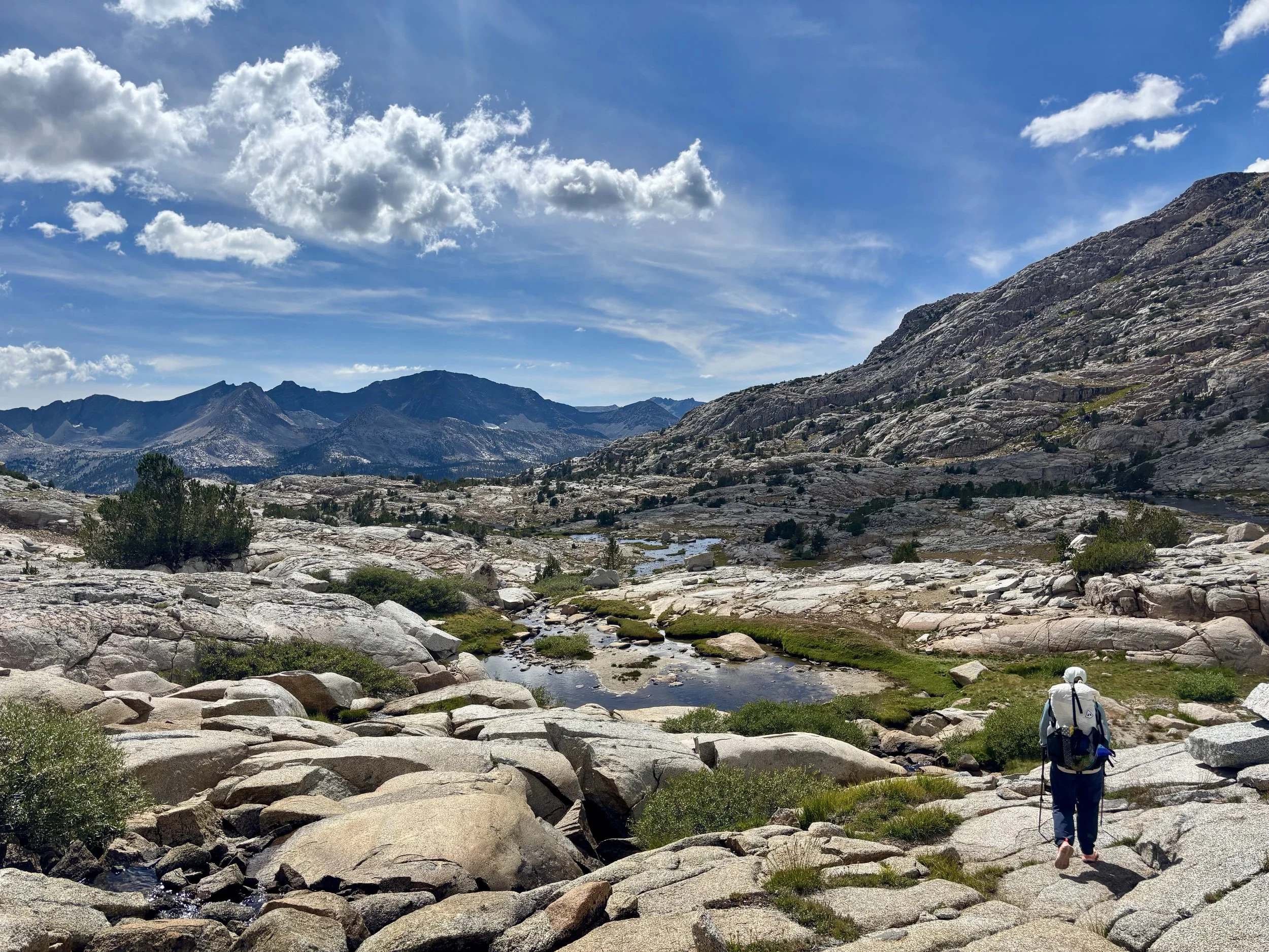
Day 2
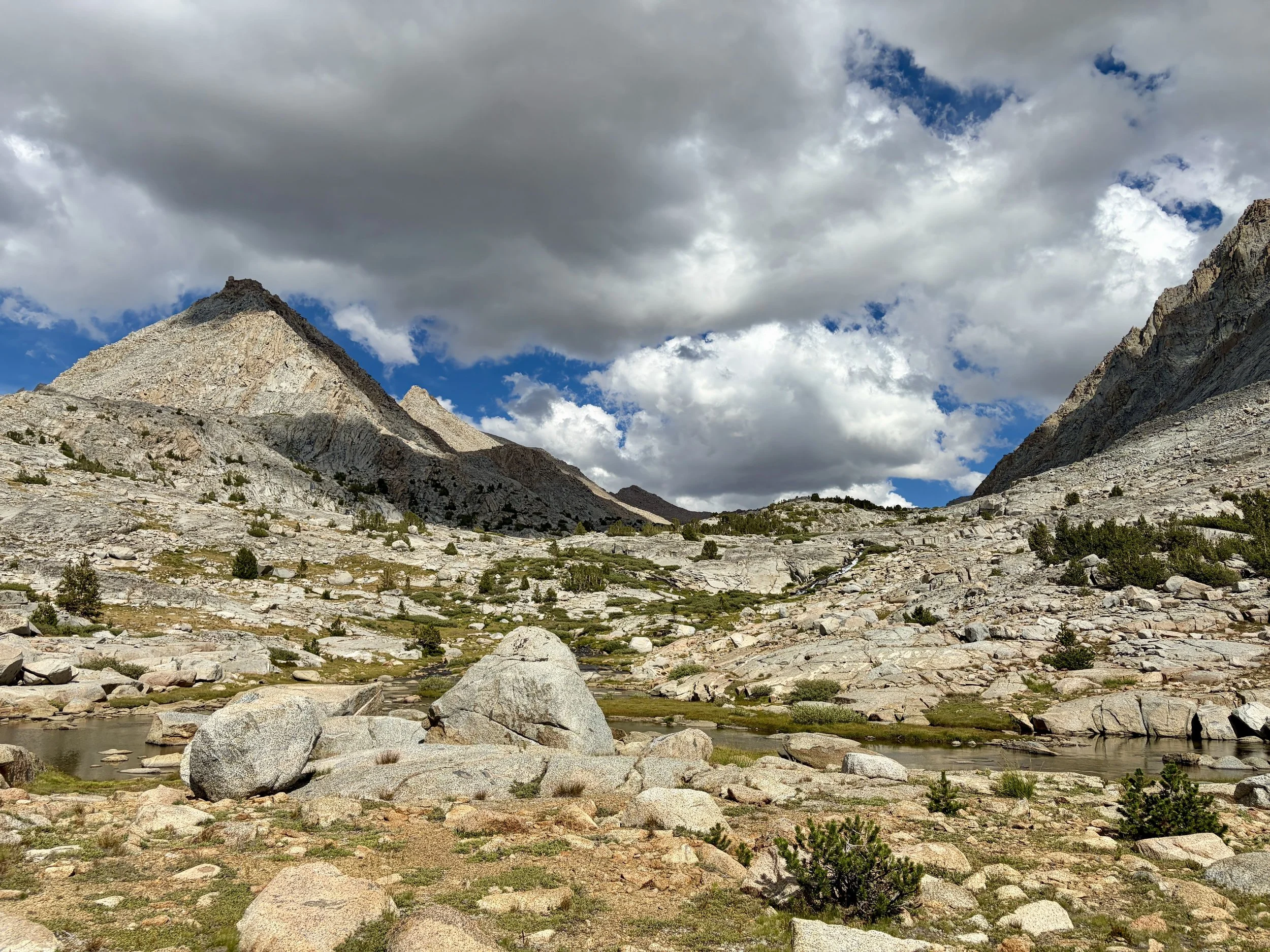
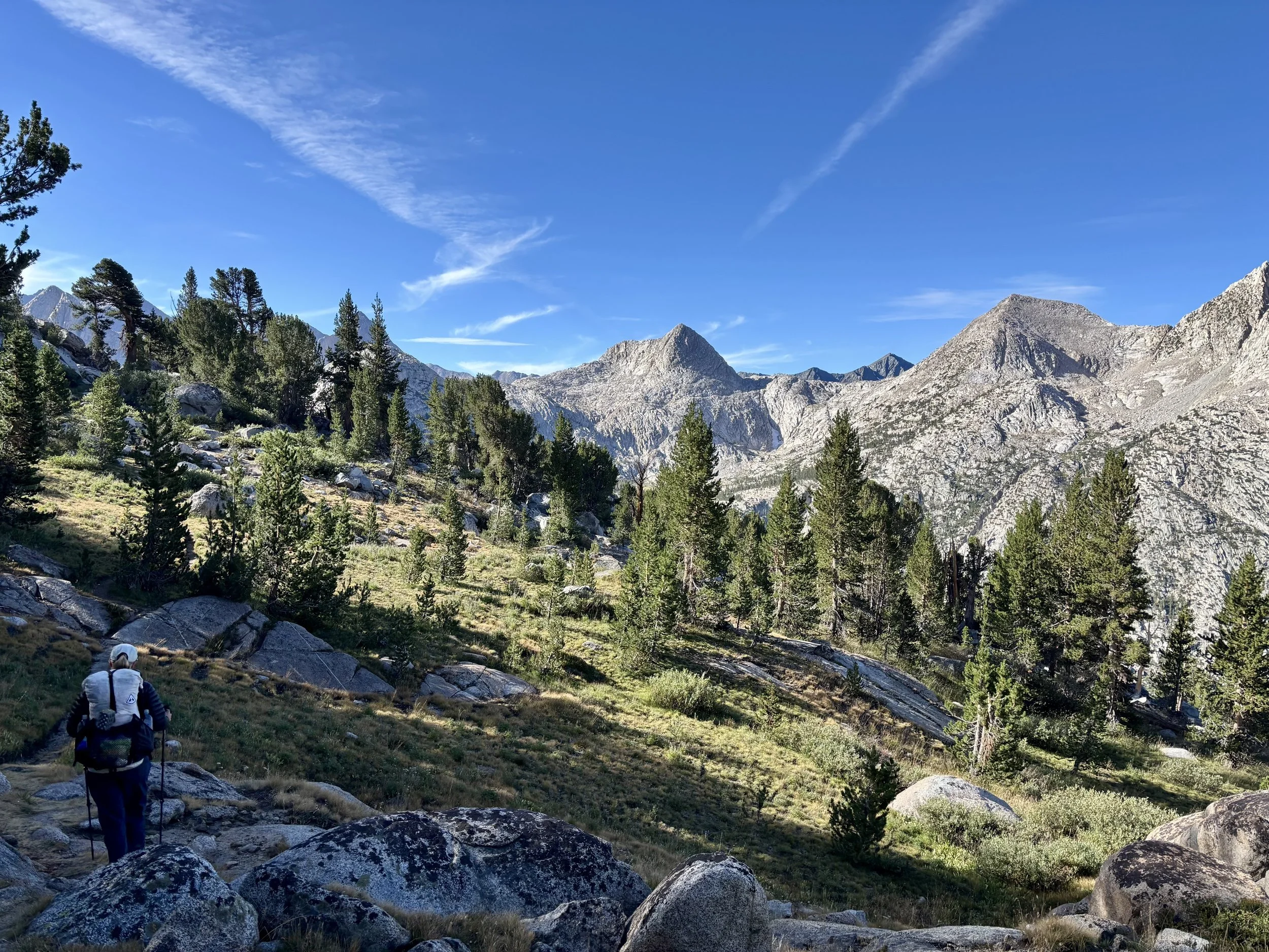
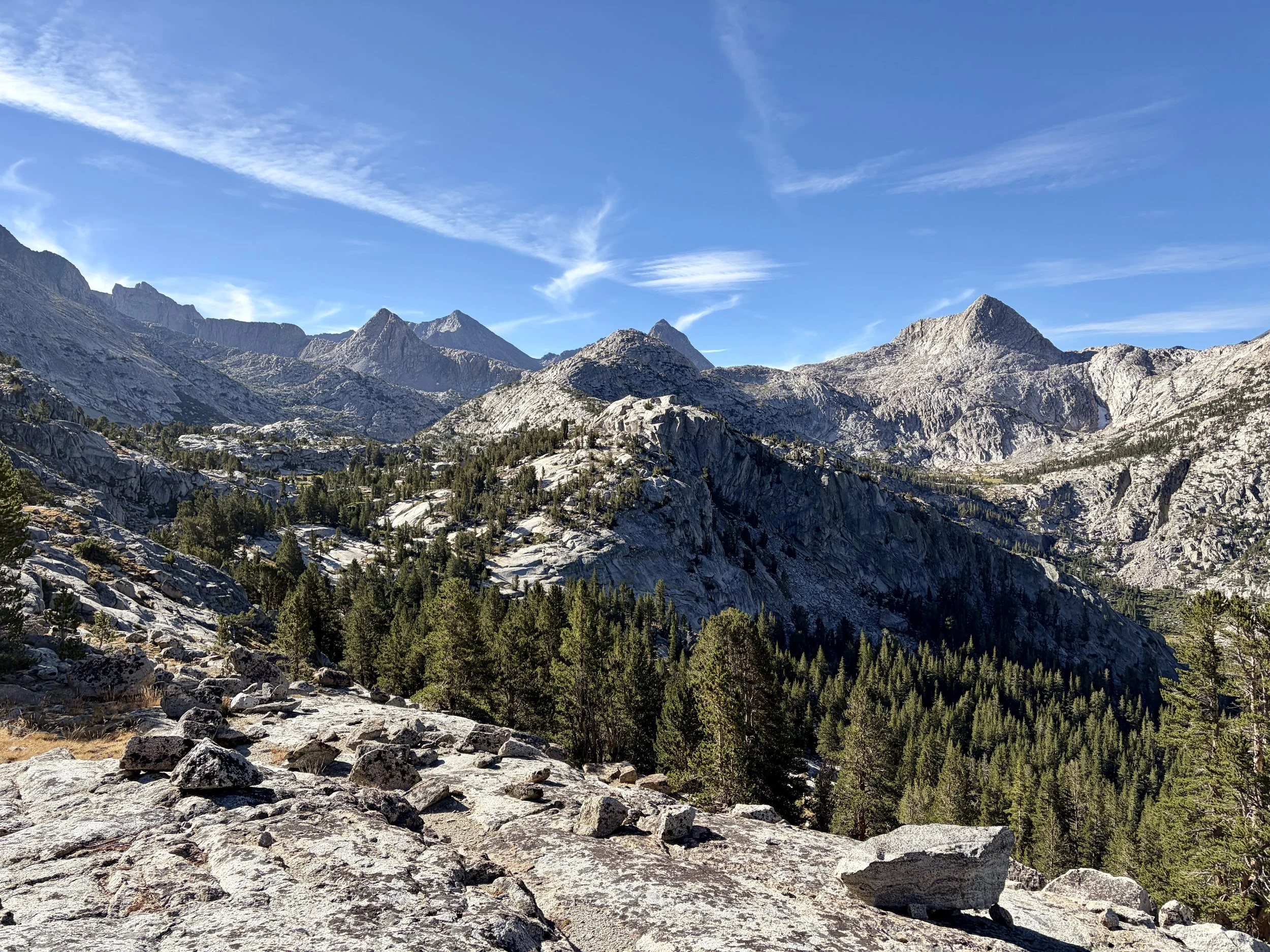
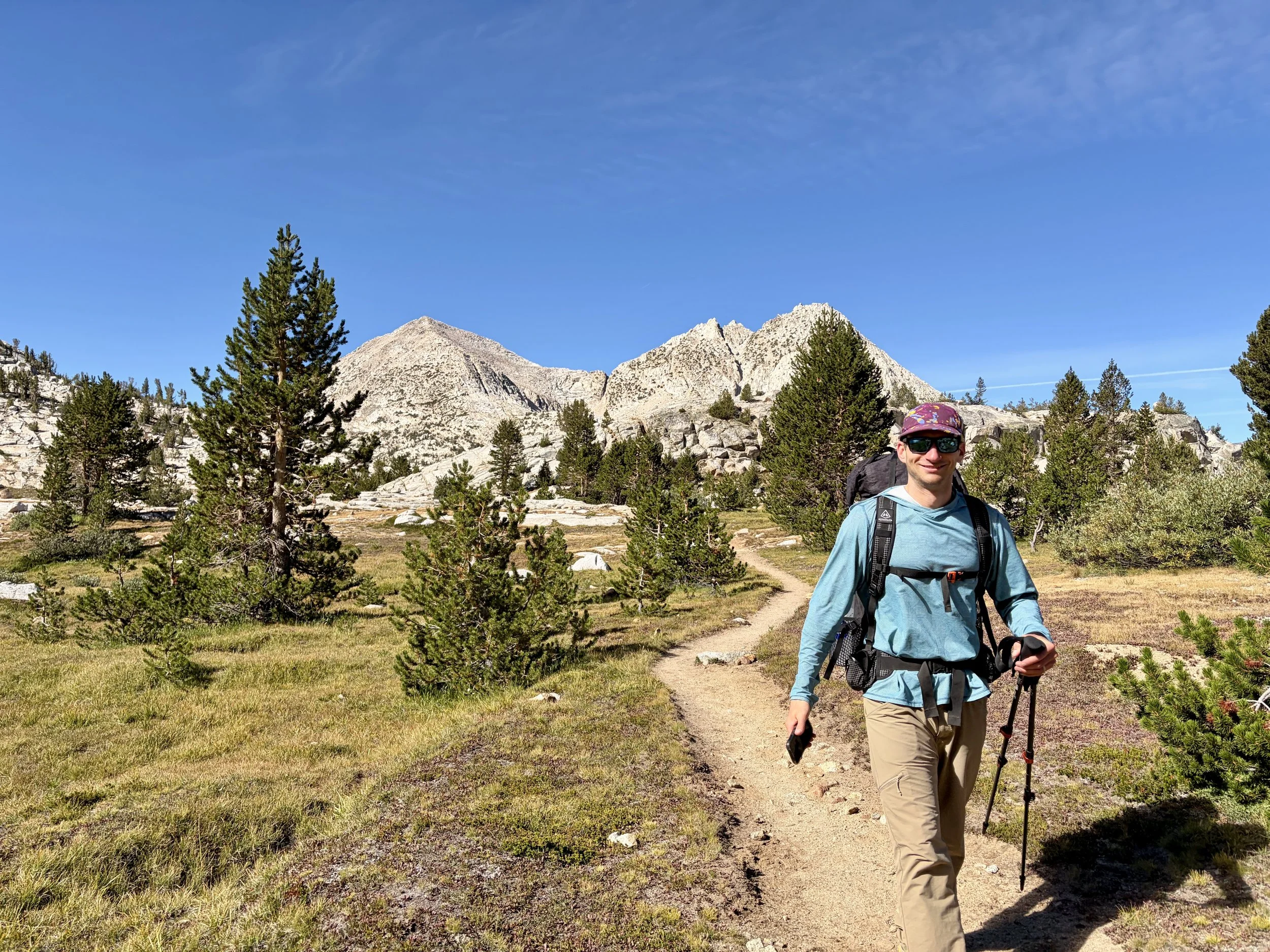
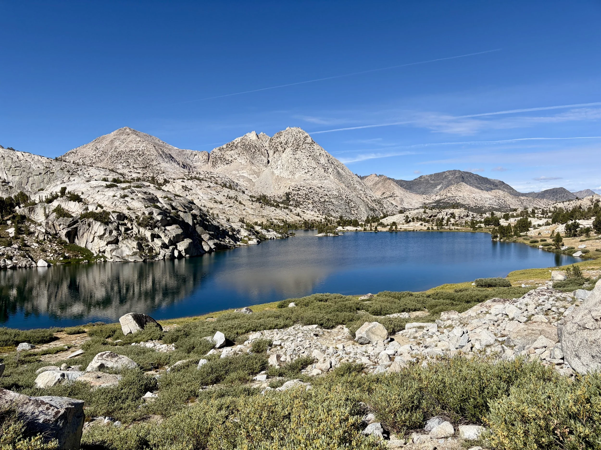
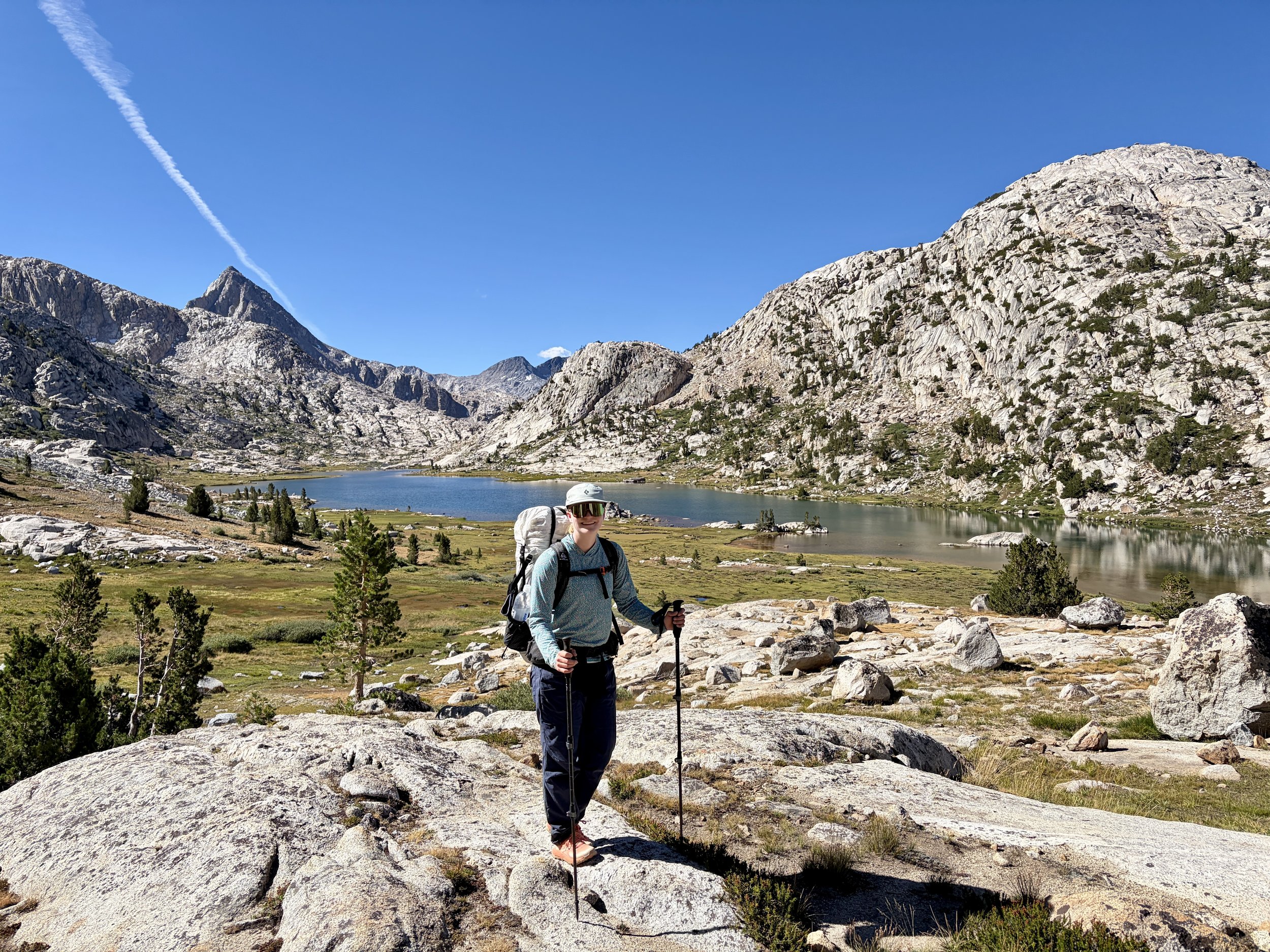
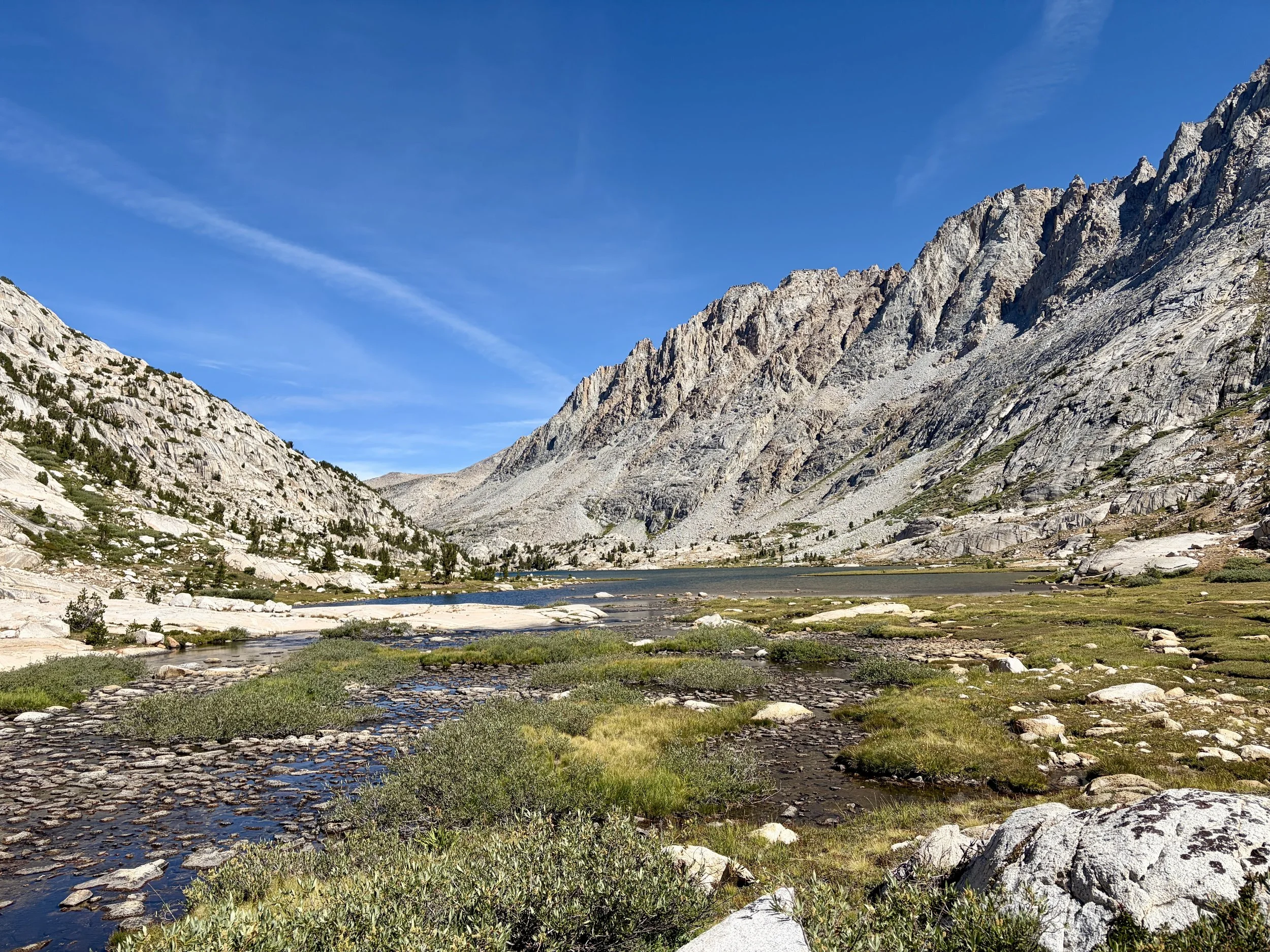
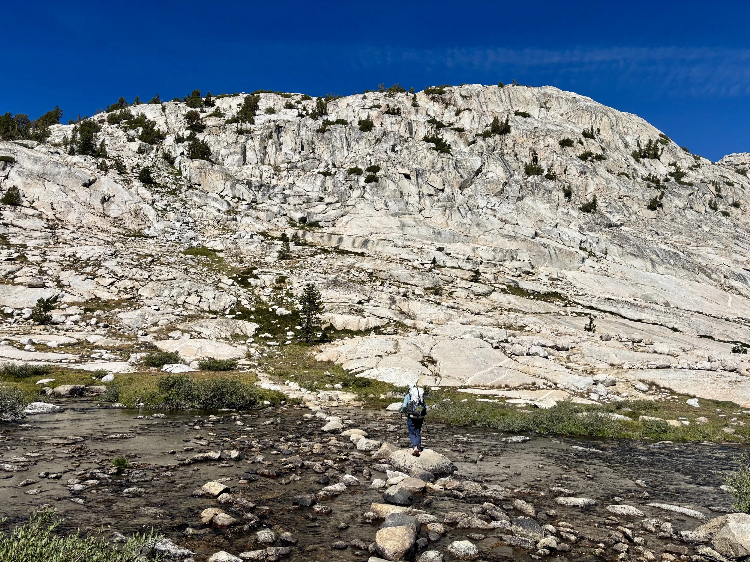
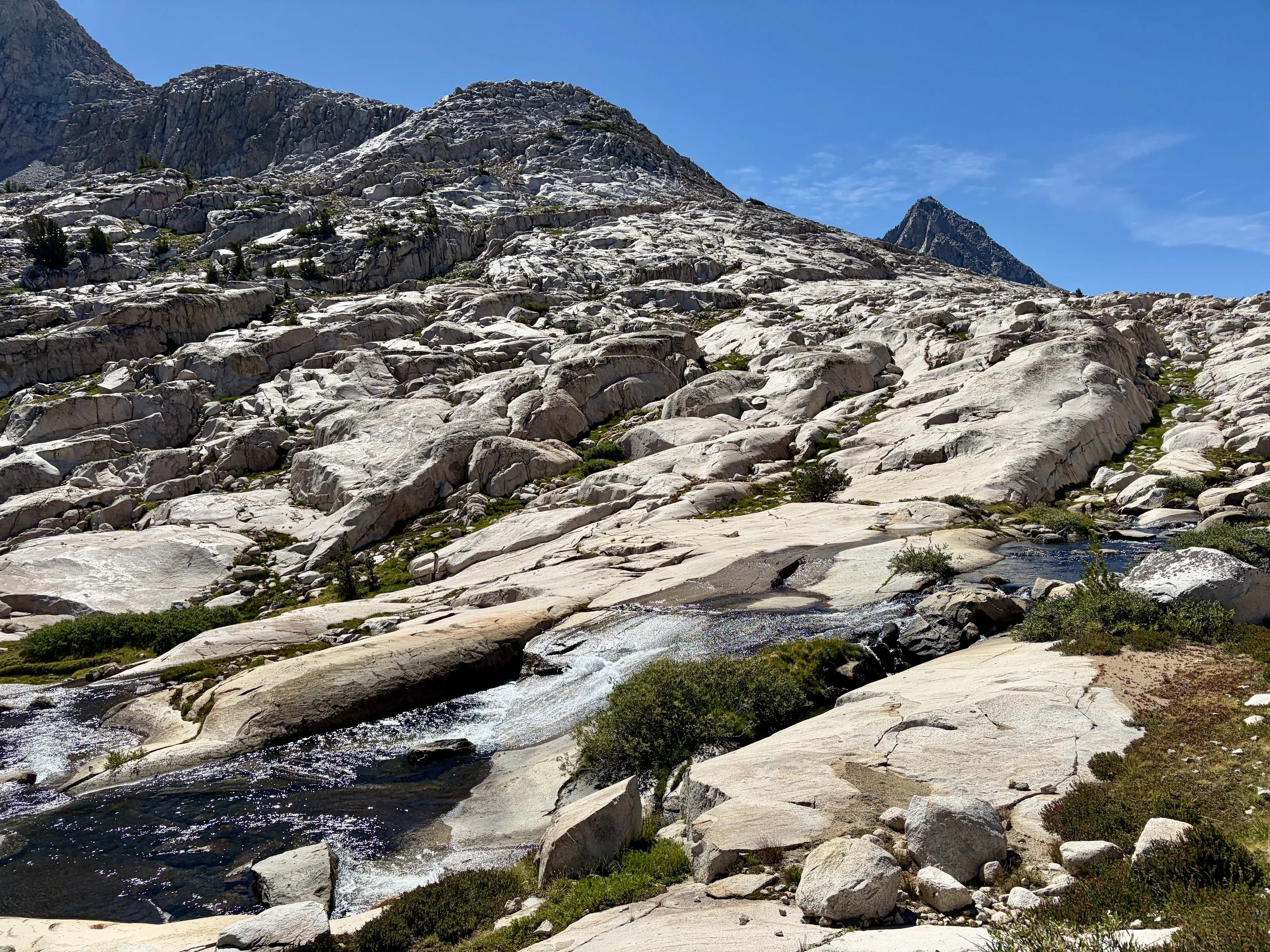
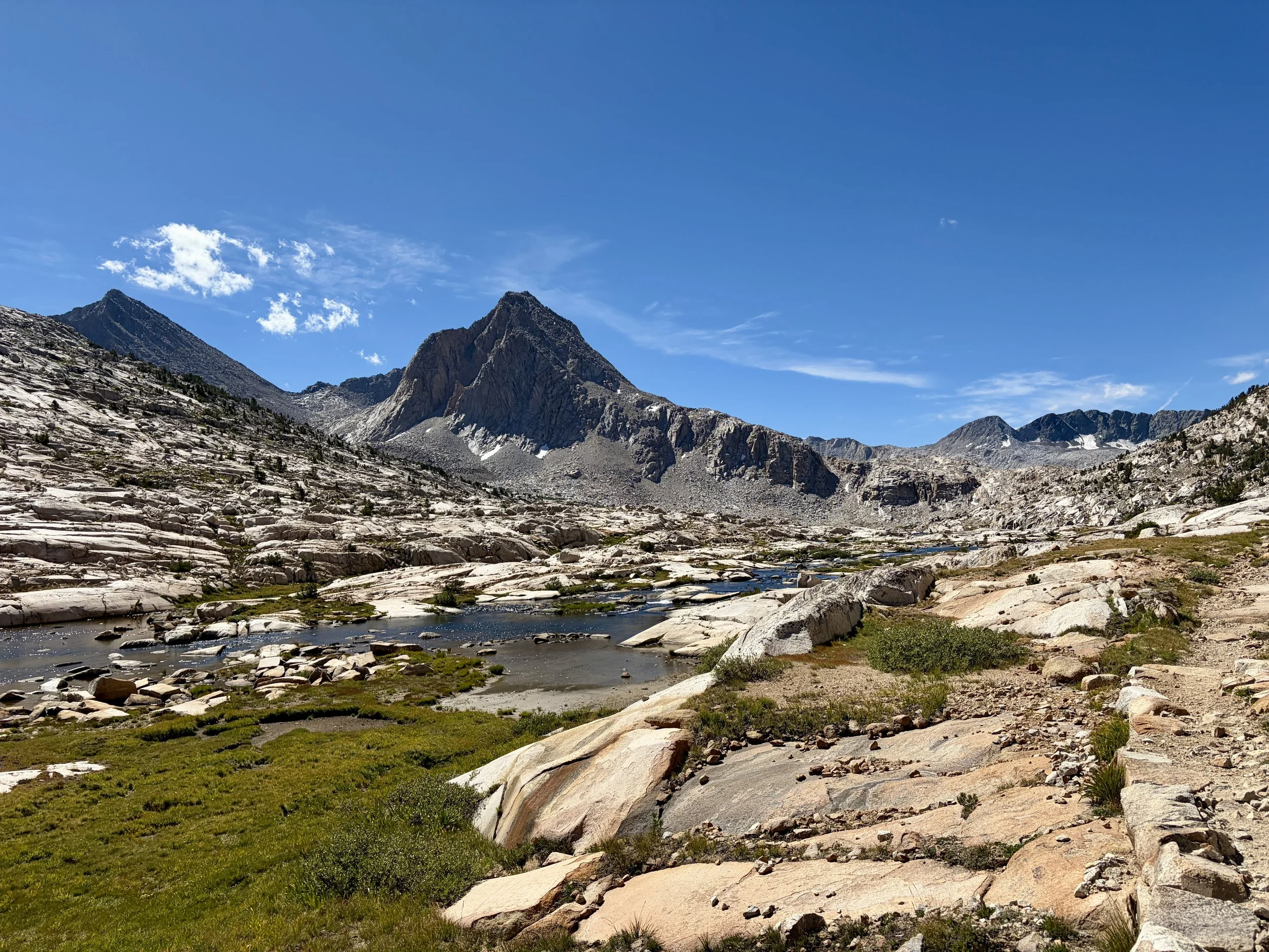
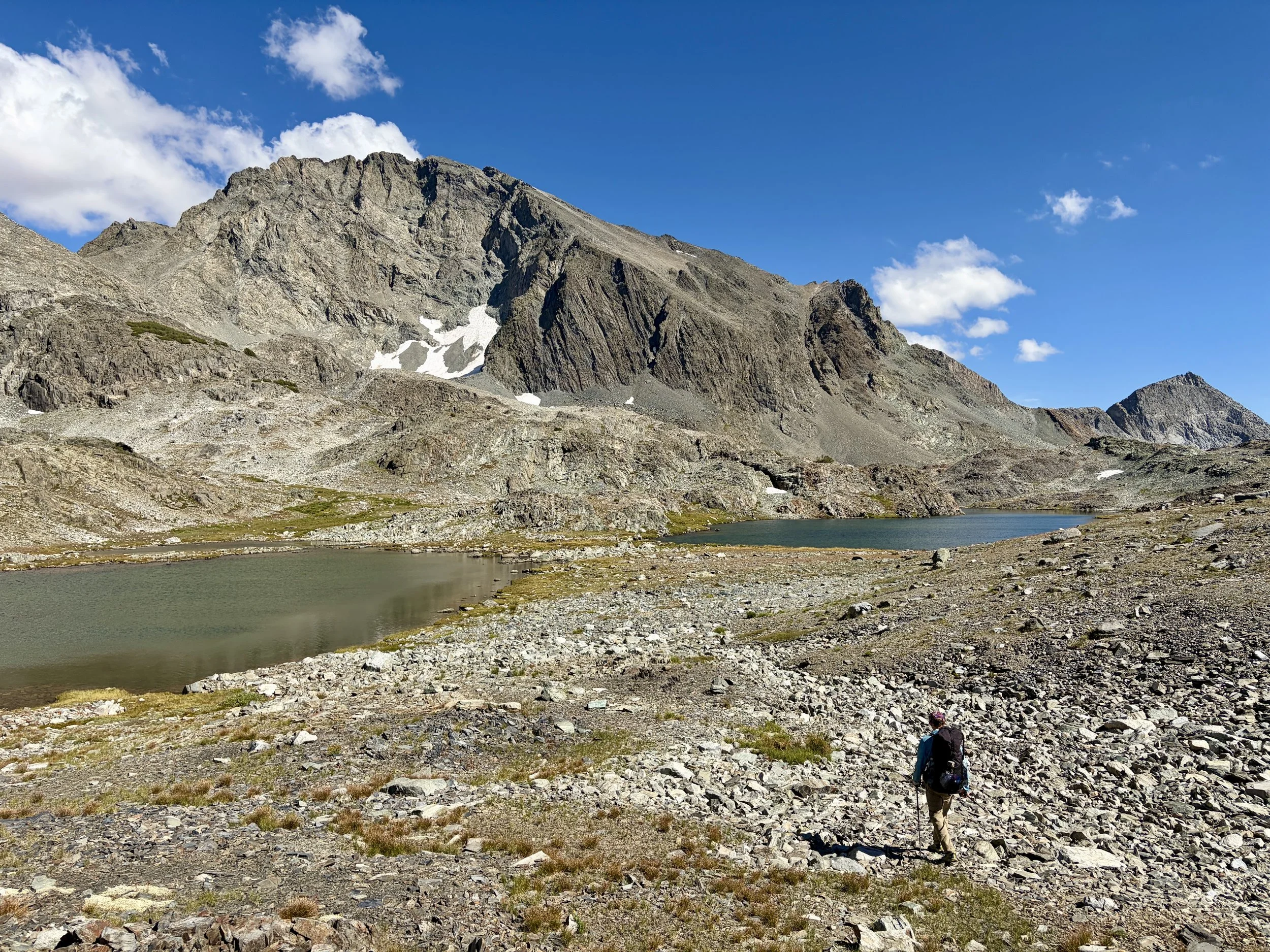
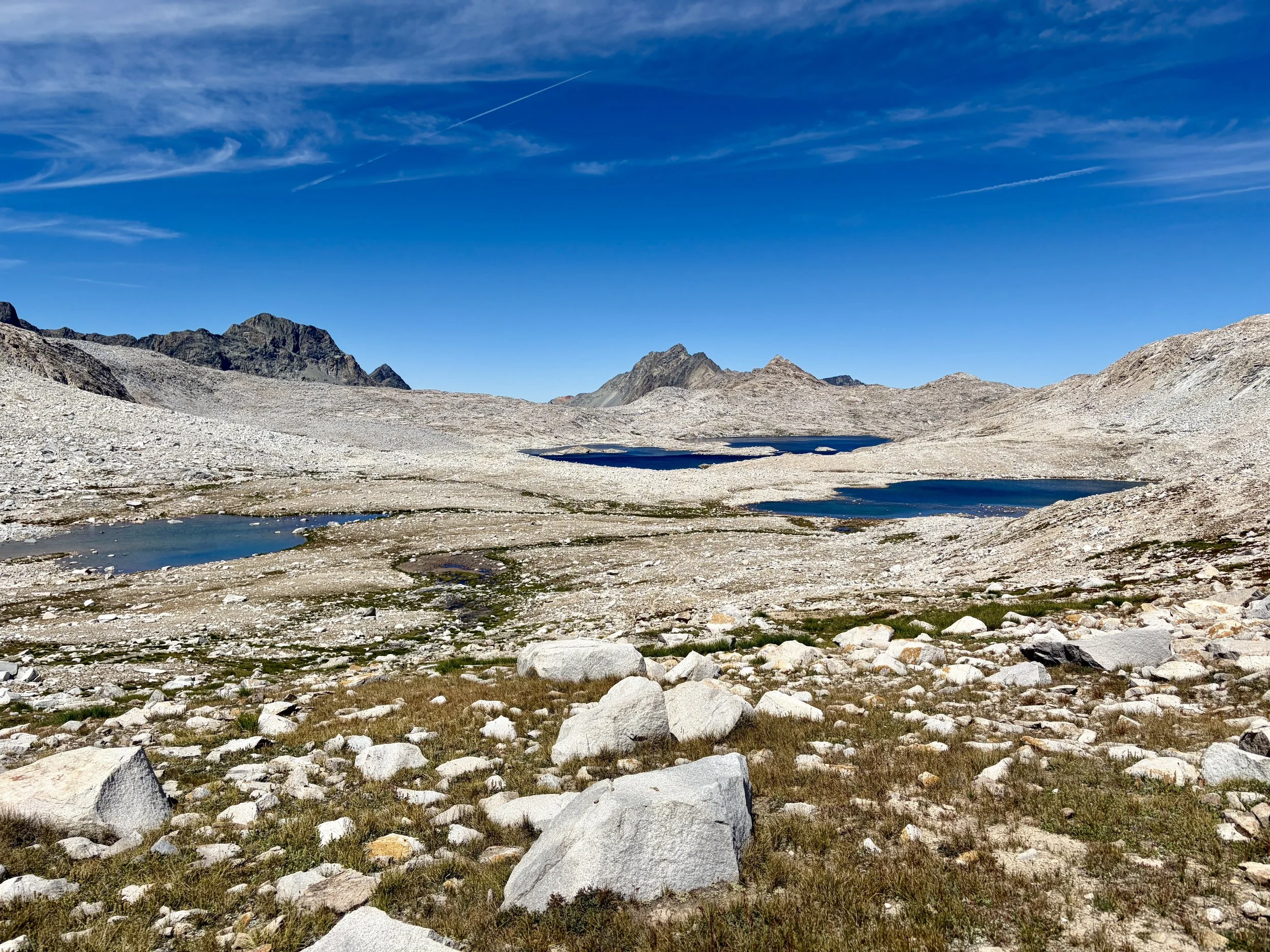
We both woke up a little after sunrise and decided to get moving. We ate breakfast and packed up camp and continued south on the trail. We descended and hit the intersection with the Pacific Crest Trail (PCT) and John Muir Trail (JMT). At the intersection, we turned left and started heading towards Evolution Lake. We hiked past many of the lakes in Evolution Basin, including Evolution Lake, Sapphire Lake, and Huxley Lake. Views the entire morning were breathtaking. As we hit Wanda Lake, we turned off-trail and started heading towards Davis Lake. We encountered our first off-trail boulder field, which was the first of many on this trip. We slowly made our way down to Davis Lake while enjoying the view of Mount Goddard and its many ridges. We eventually turned and headed up to Martha-Davis pass. This pass ended up looking a lot more intimidating than it was and didn’t get any harder than Class 2 in the route we took.
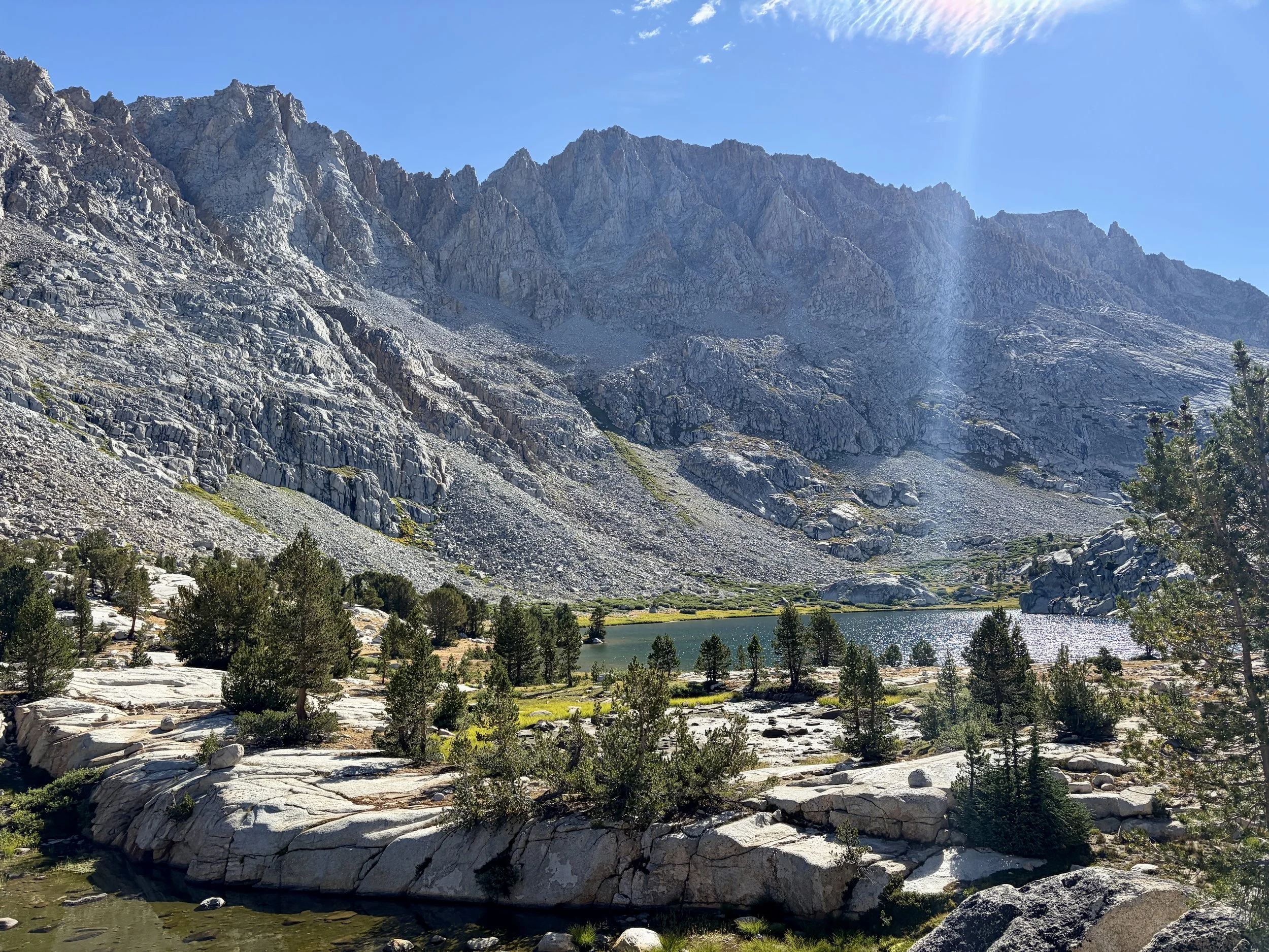
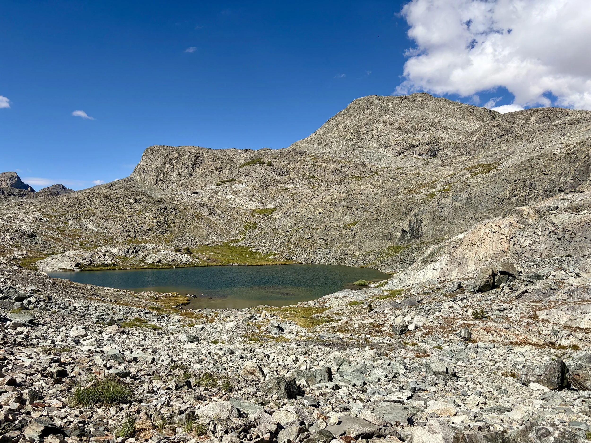
As we began descending the other side, we ran into two women who were coming the other direction and trying to find the pass themselves. We chatted for a few minutes and each continued on our way. As we headed down to lakes 11,639 and 11,645, we began looking for campsites as our legs were starting to get a little tired. Finding a nice campsite was proving a little difficult. So we continued hiking towards Martha Lake as we knew we’d at least find a site there. We found ourselves passing quite a few lakes with beautiful views of another side of Mount Goddard in front of us. As we were walking along the lake above Martha Lake, we found a campsite that had clearly been used before and decided that would be a great spot to set up camp for the night. After setting up the tent, we hopped in the lake for a quick dip to cool off. We enjoyed a quiet night with no one else around and a beautiful sunset that put on a show of many different colors.
Day 2 Stats: 10.11 miles, +2425 ft of elevation gain, -2503 ft of elevation loss
Day 3
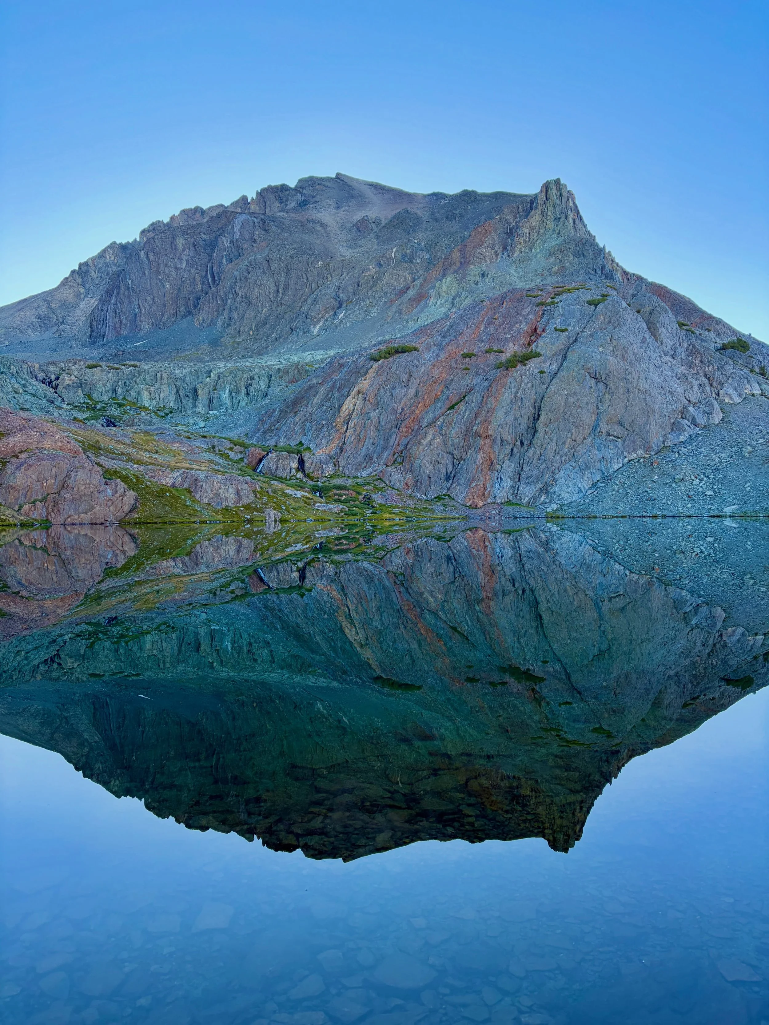
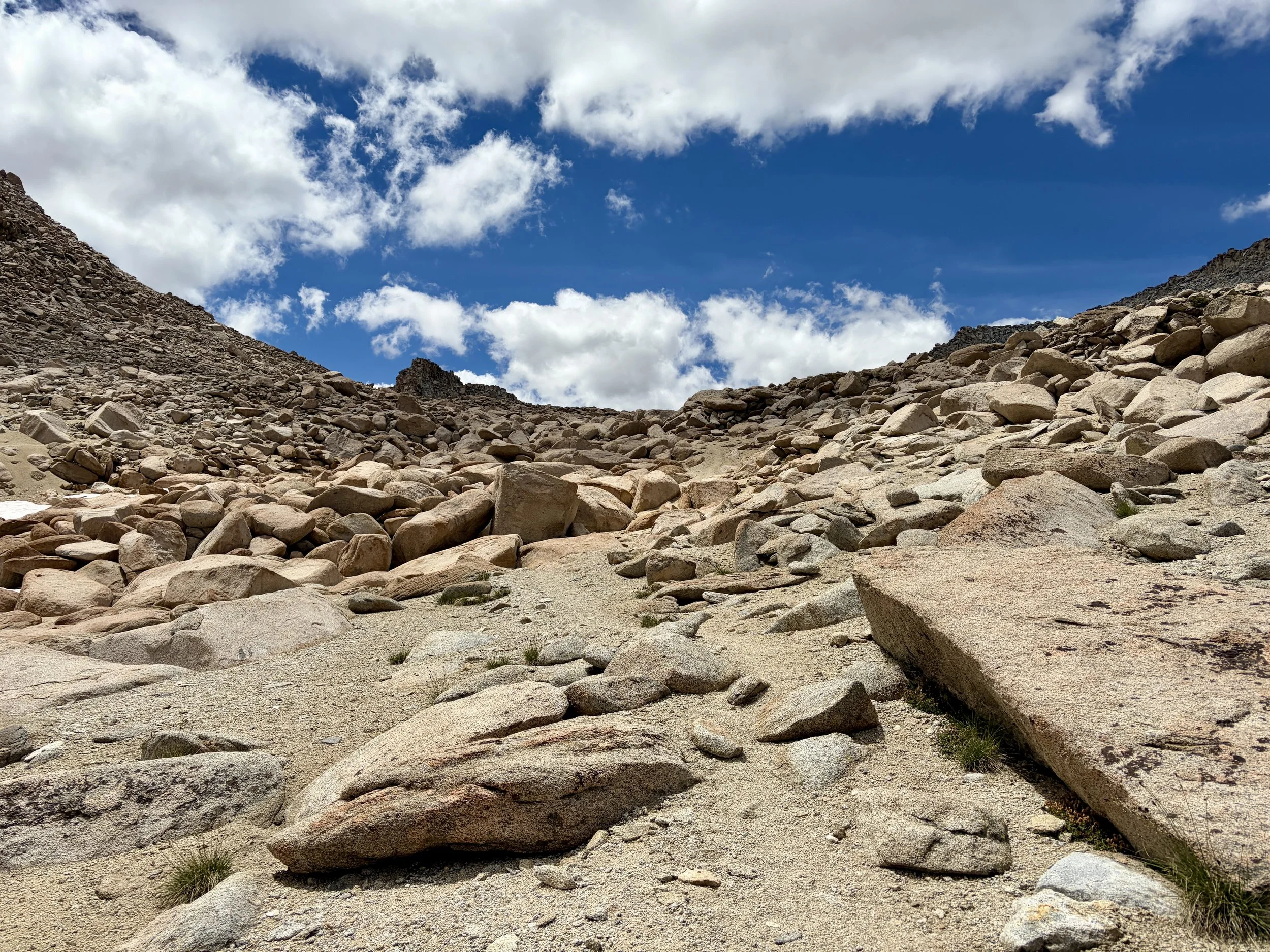
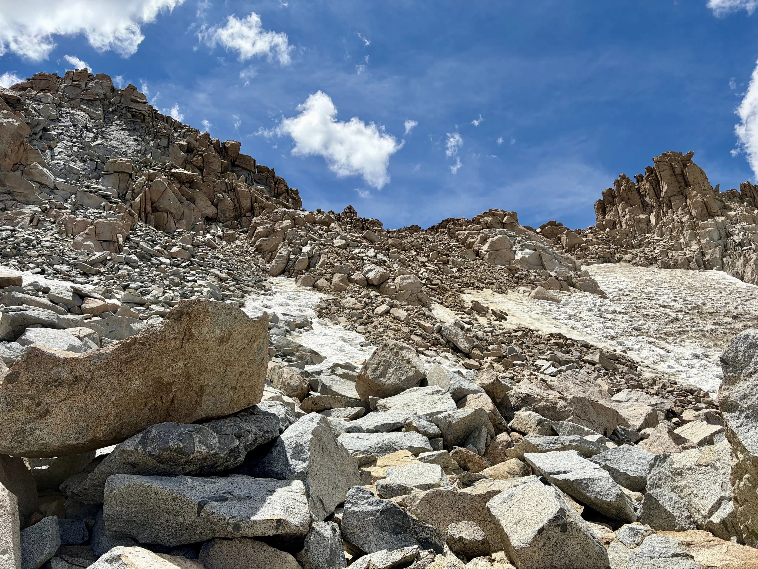
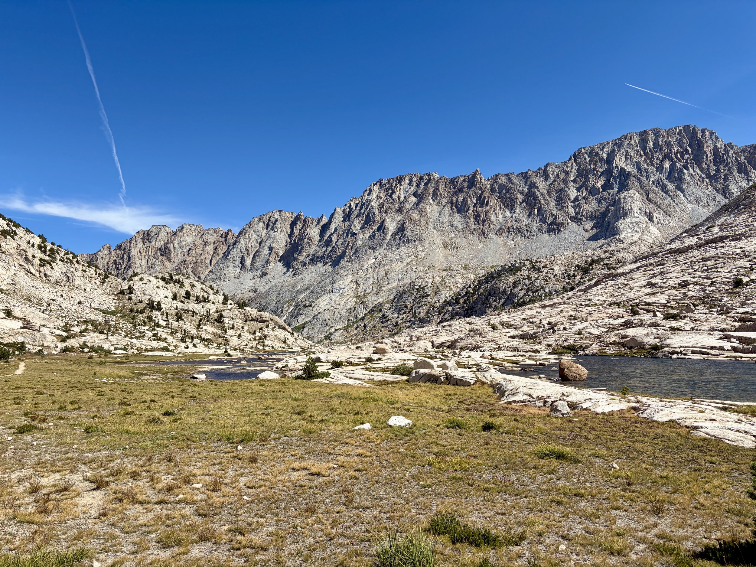
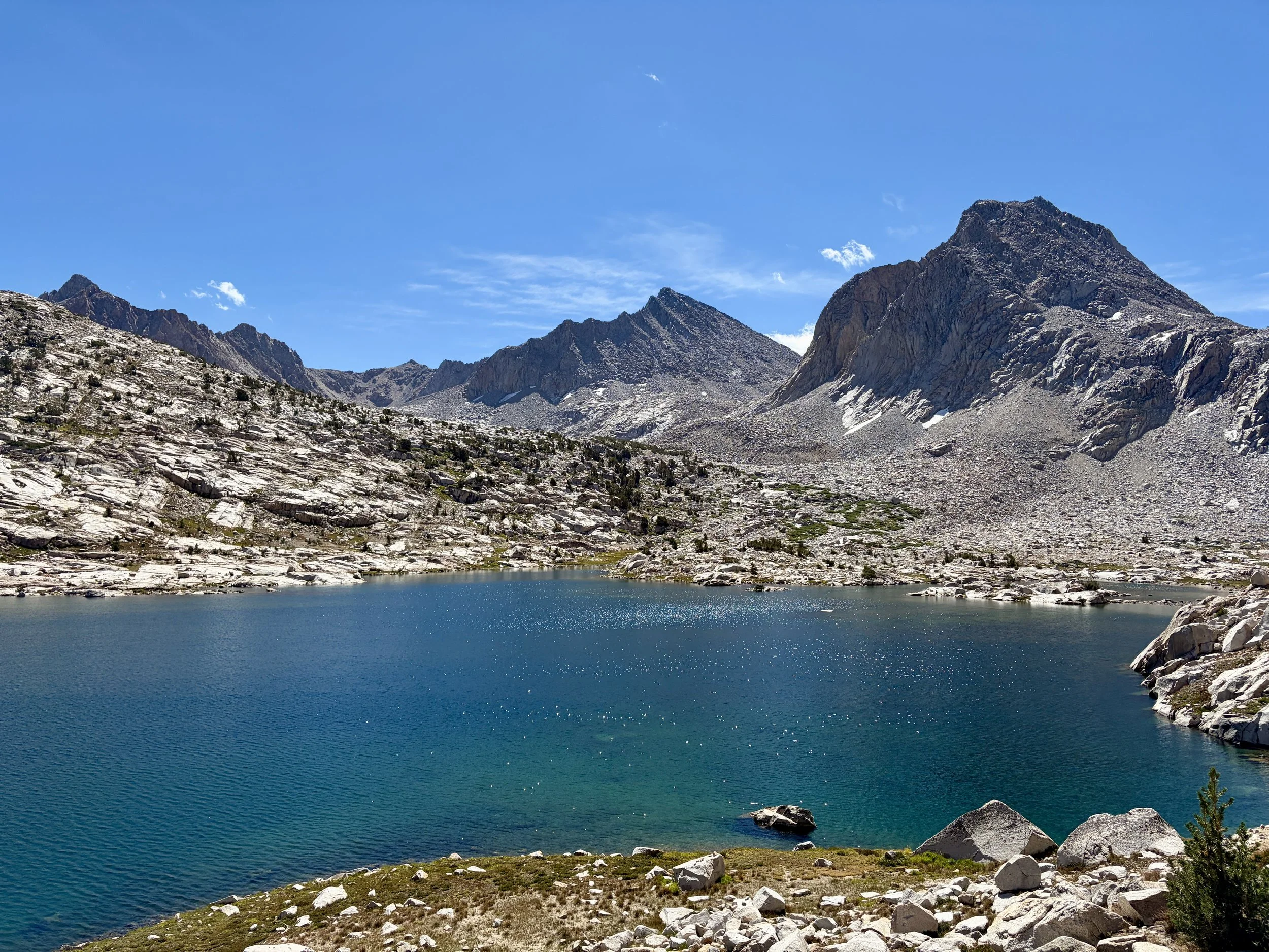
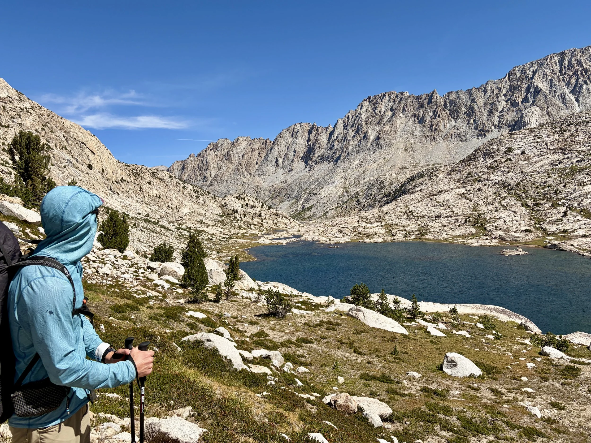
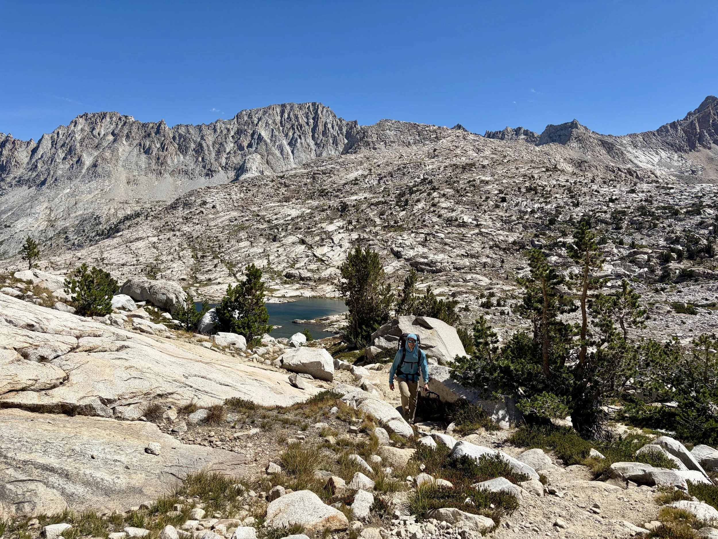
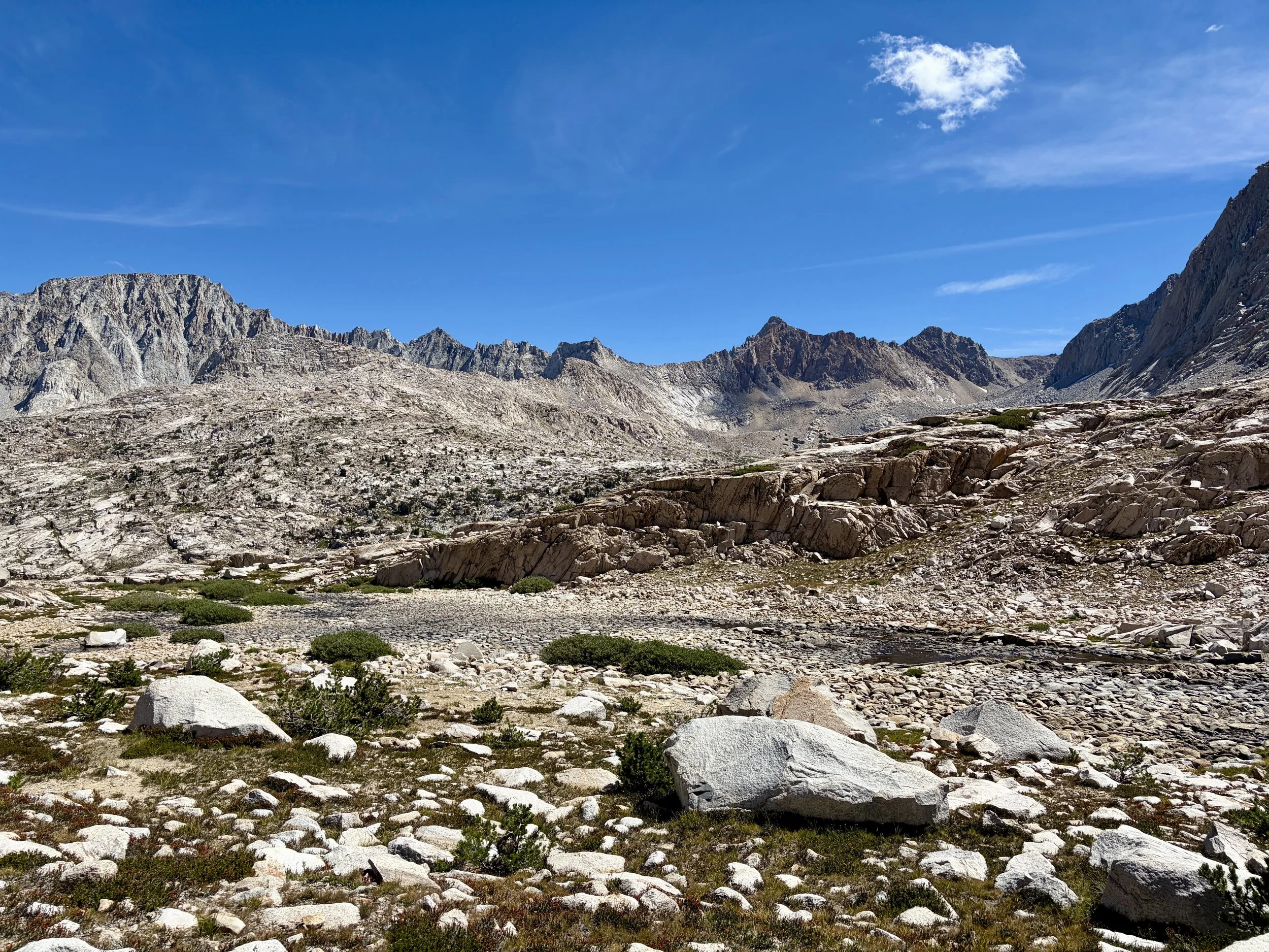
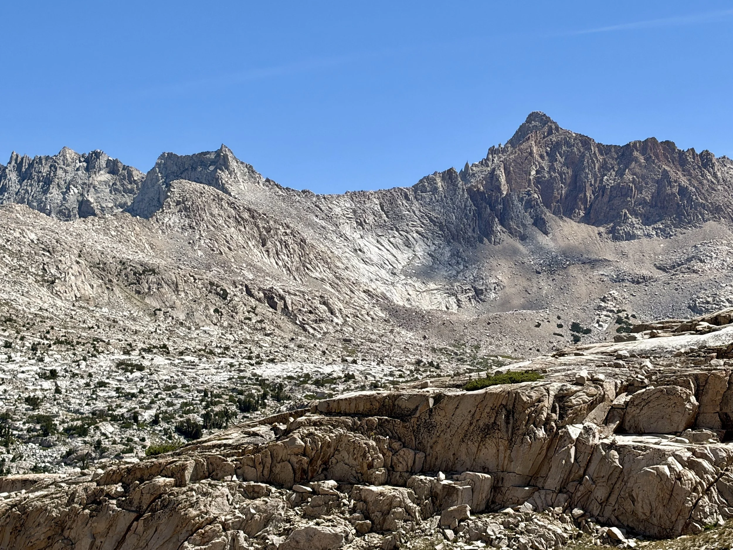
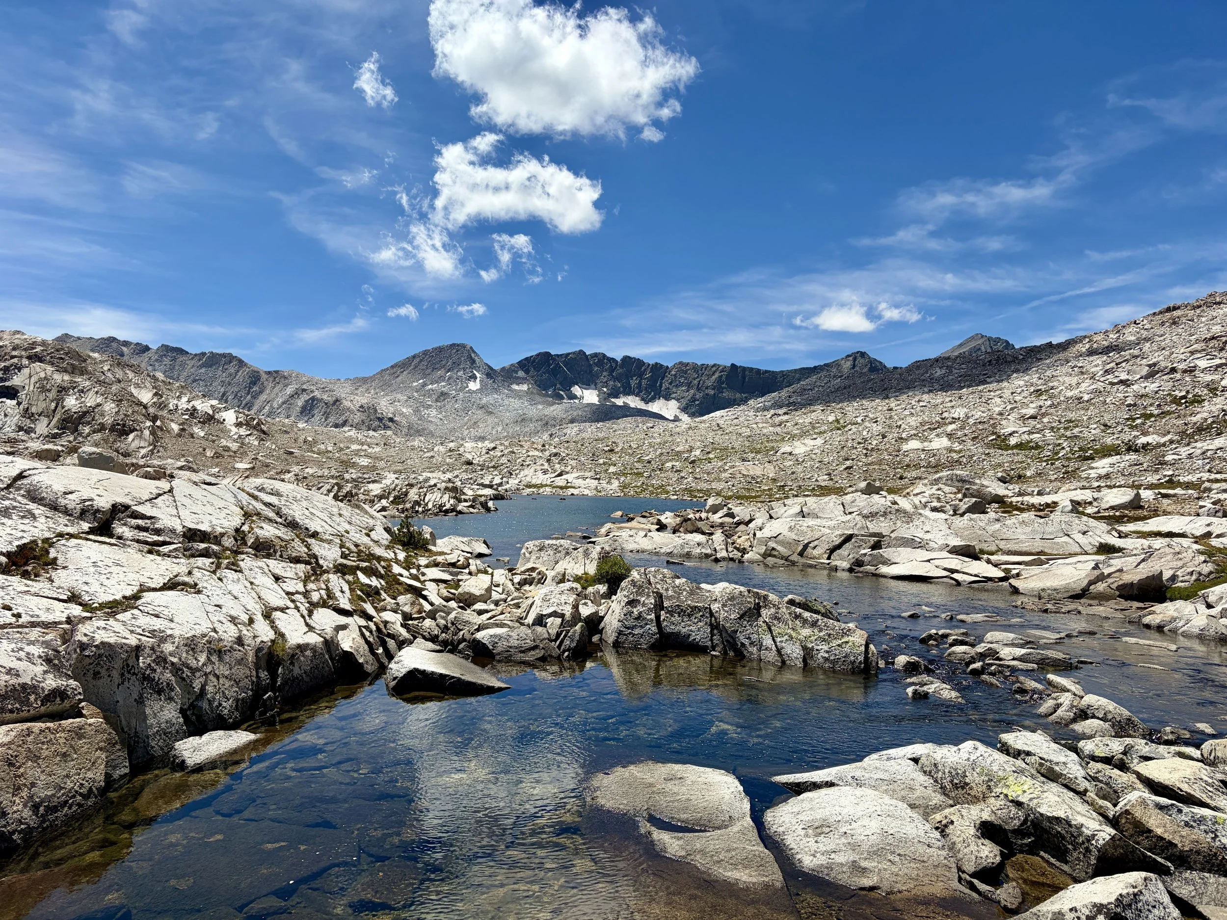
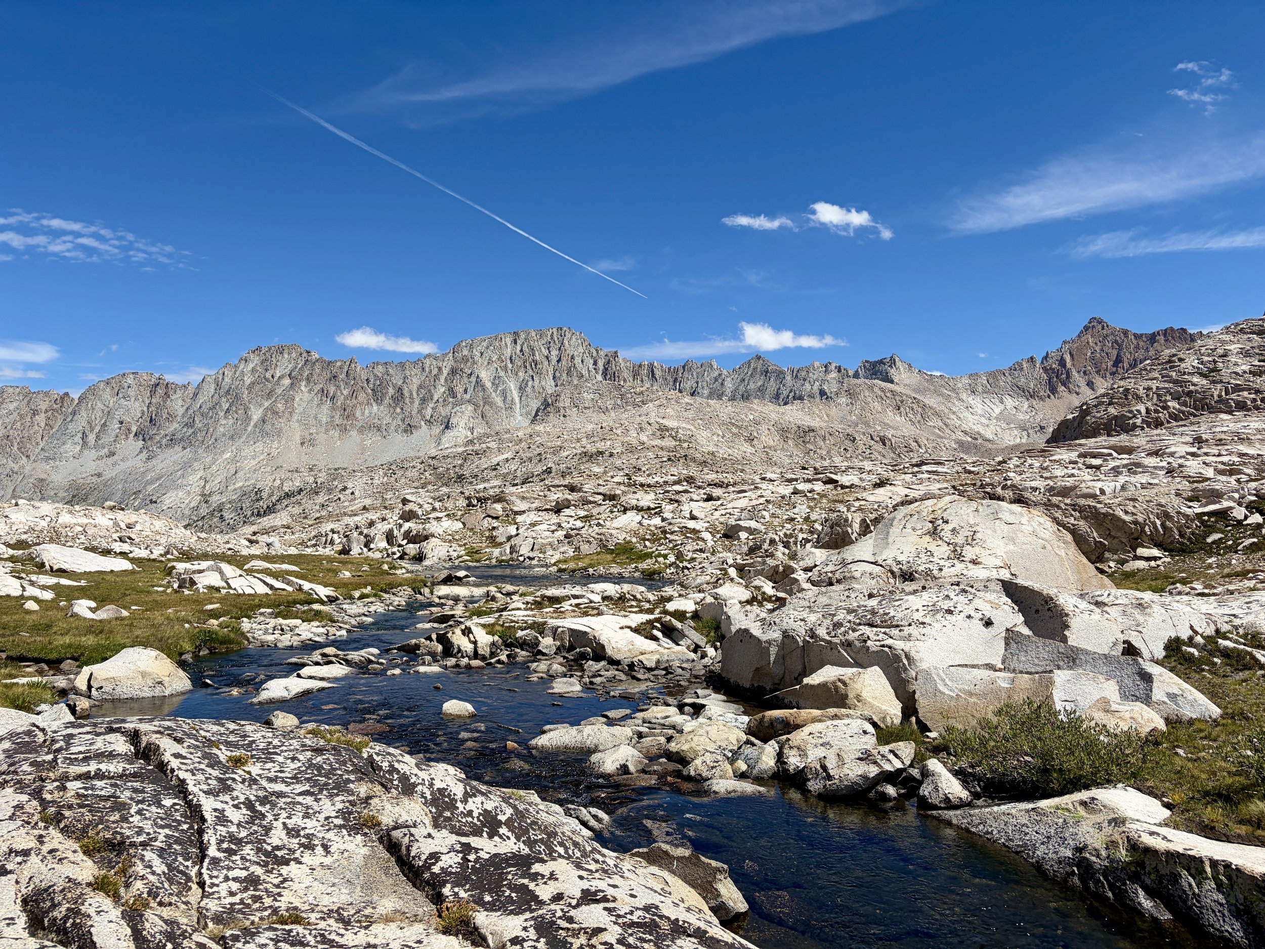
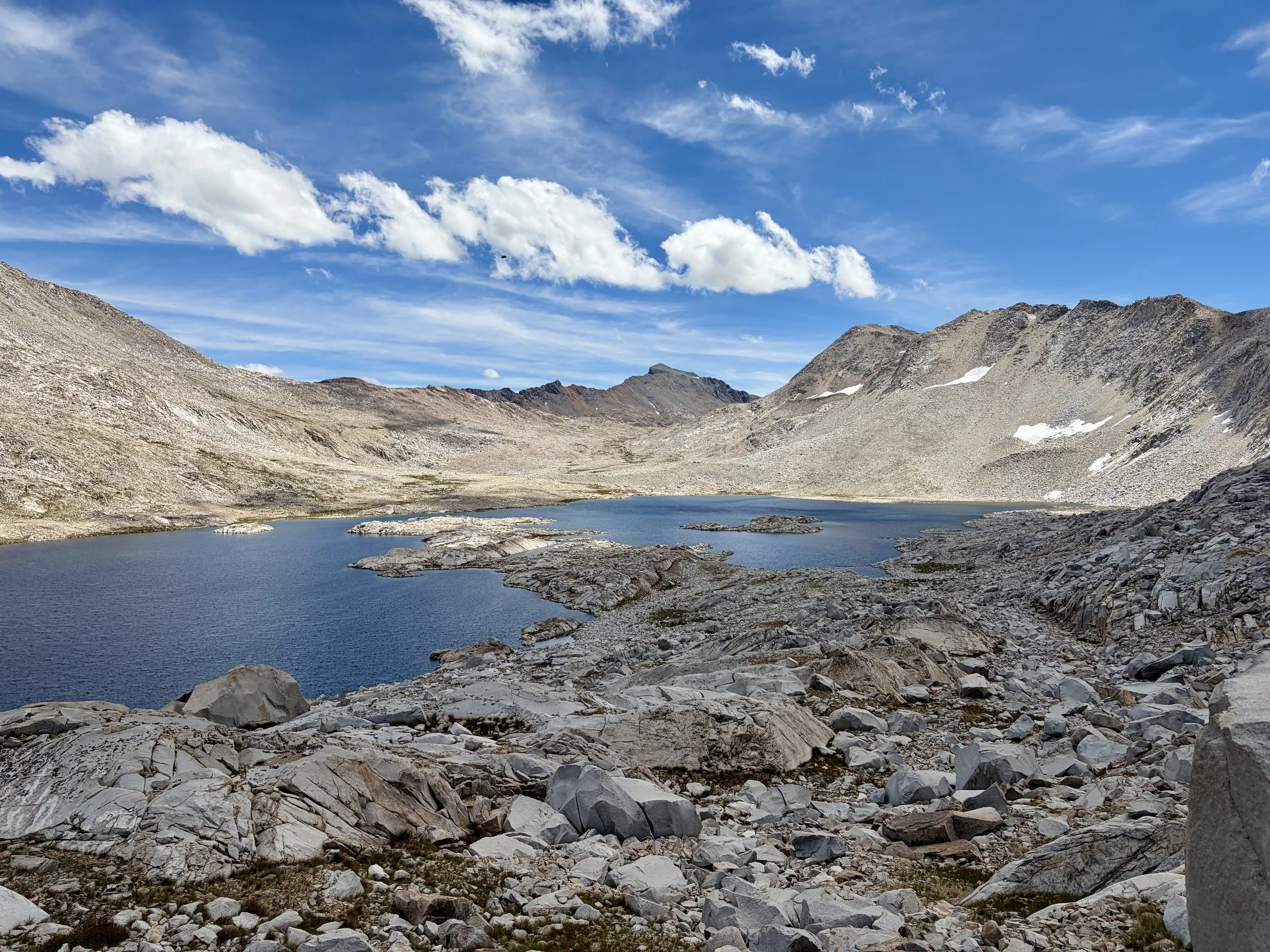
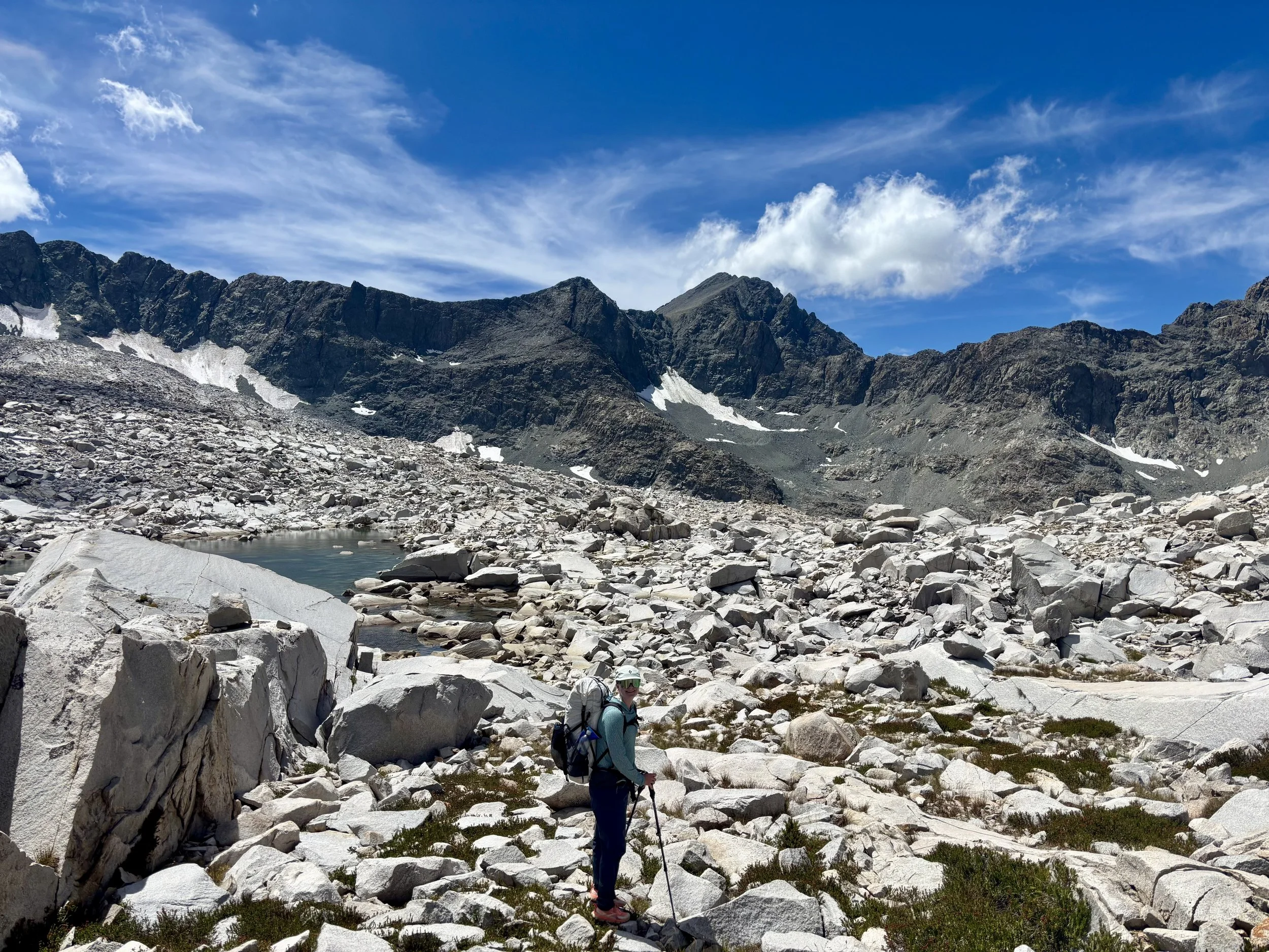
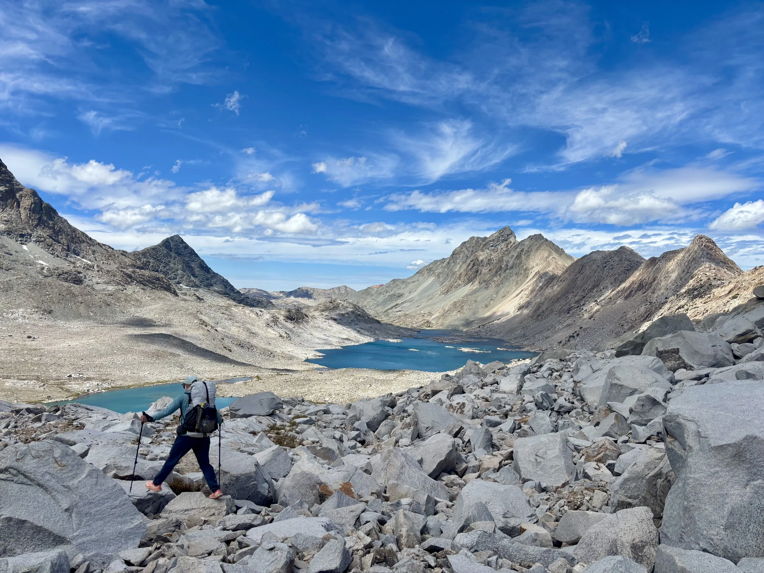
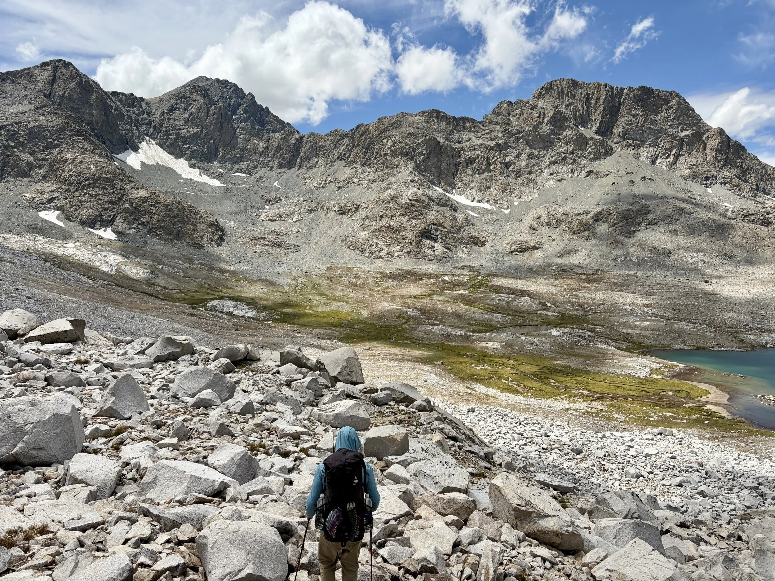
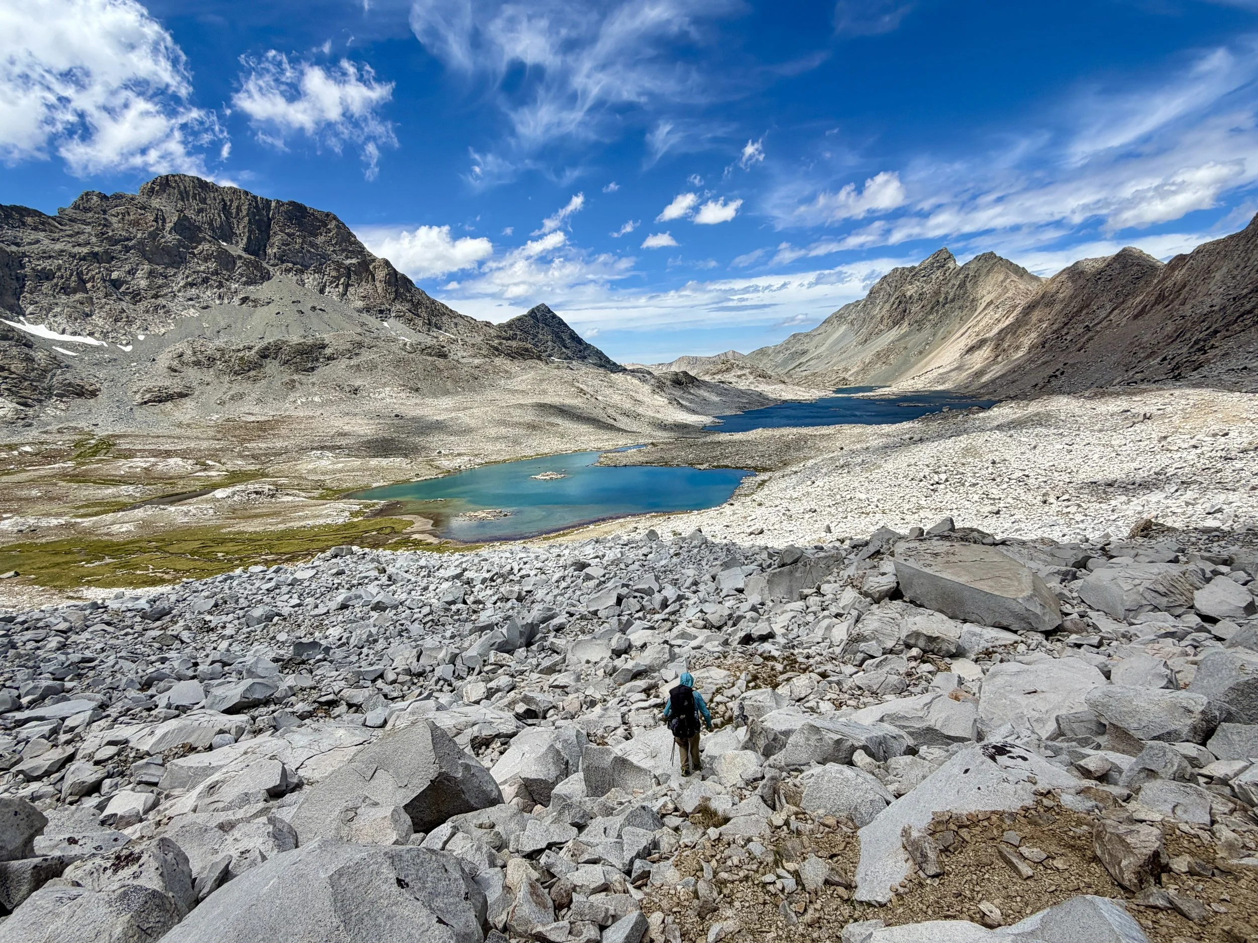
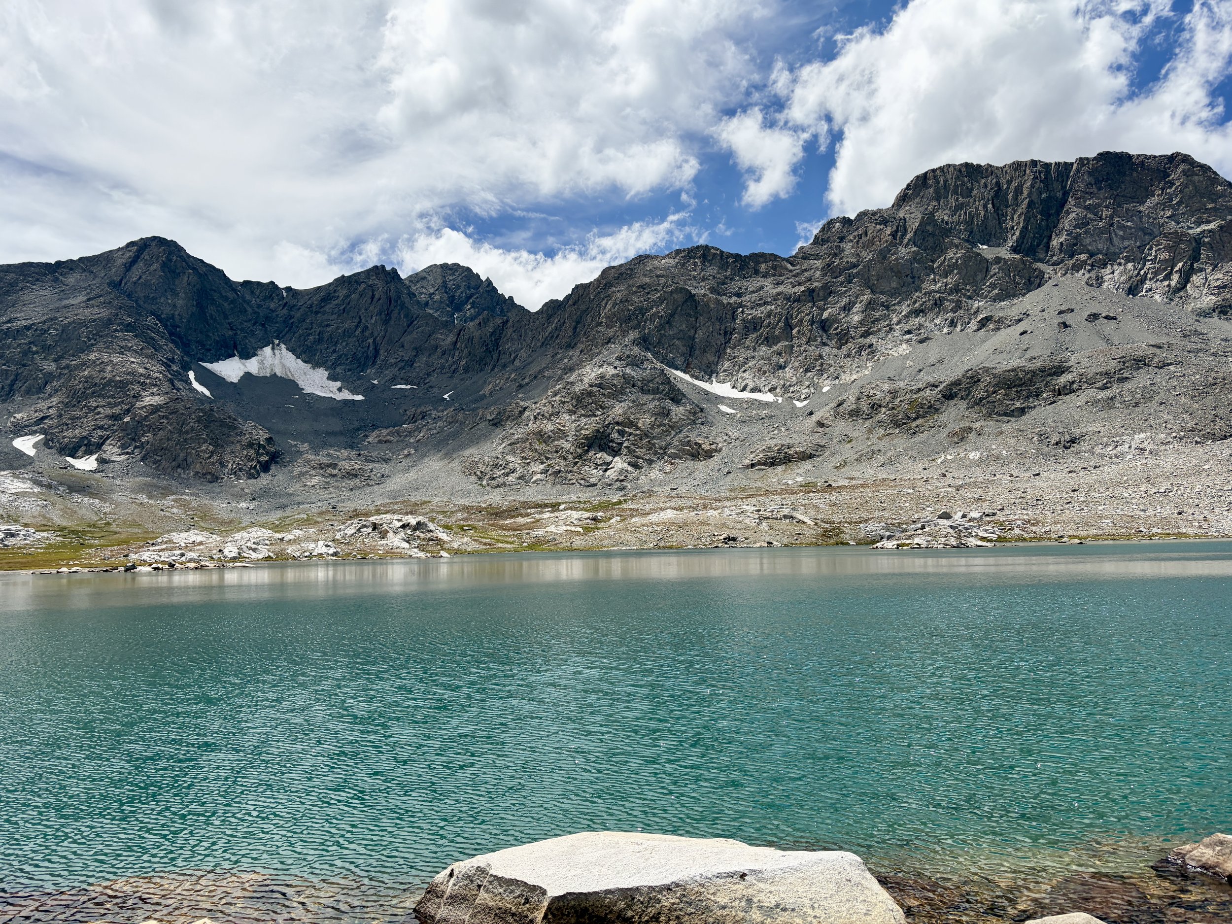
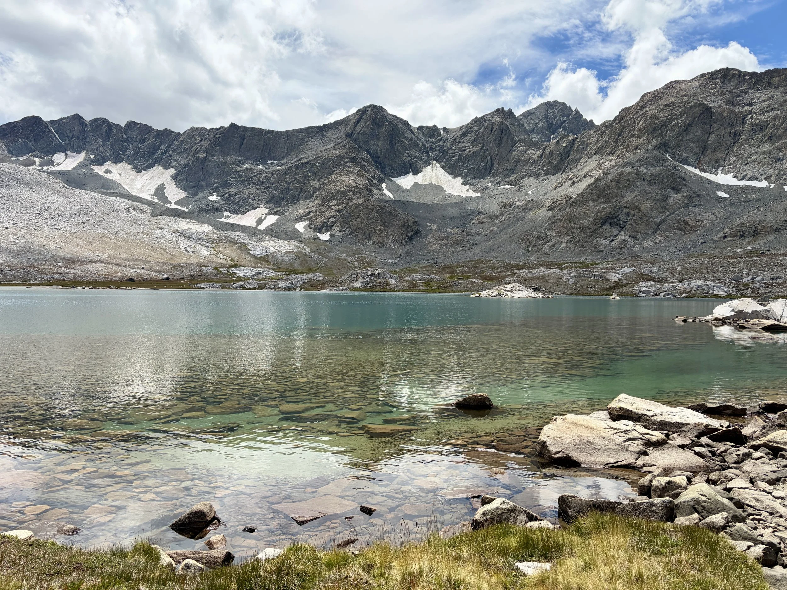
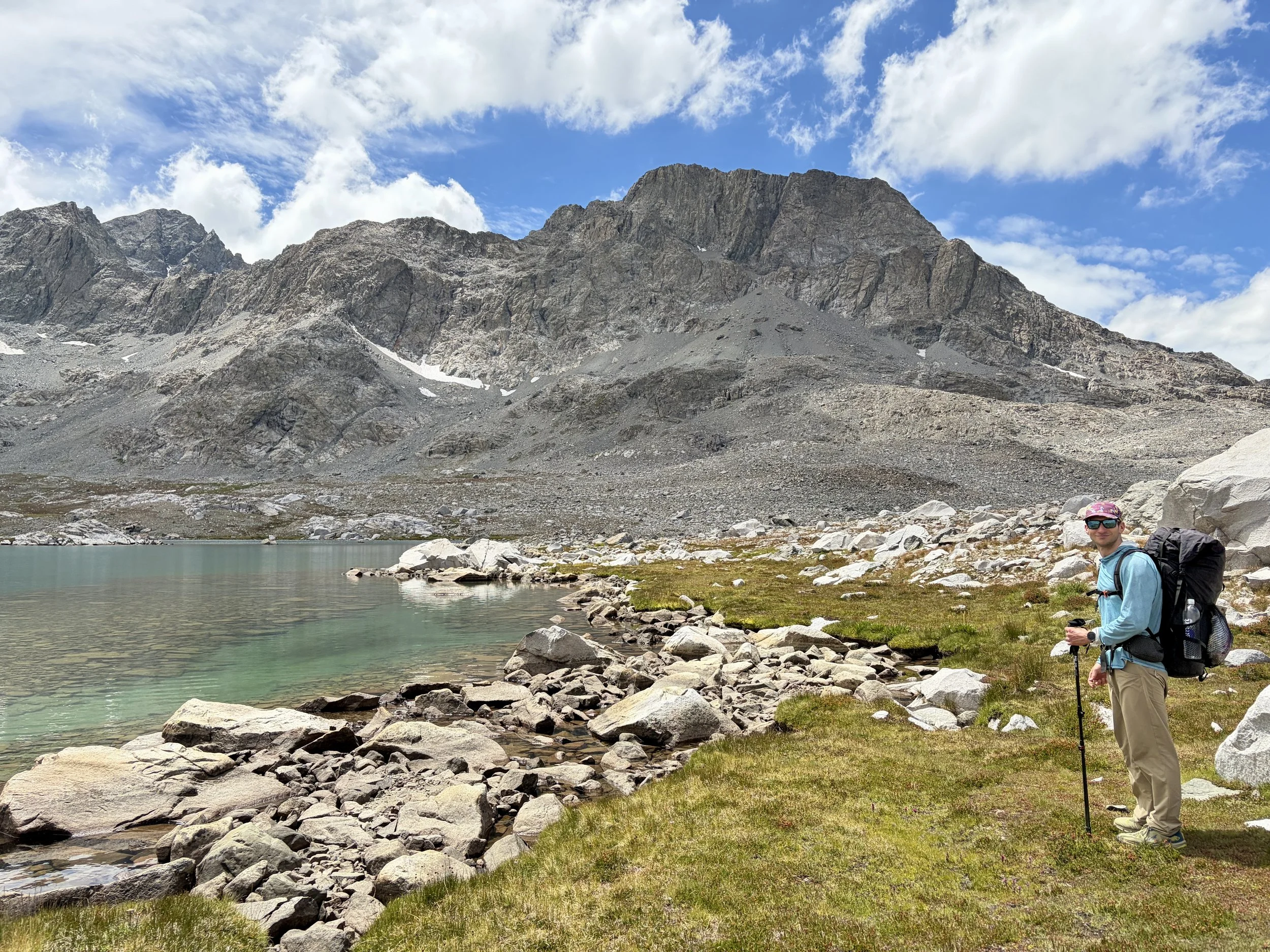
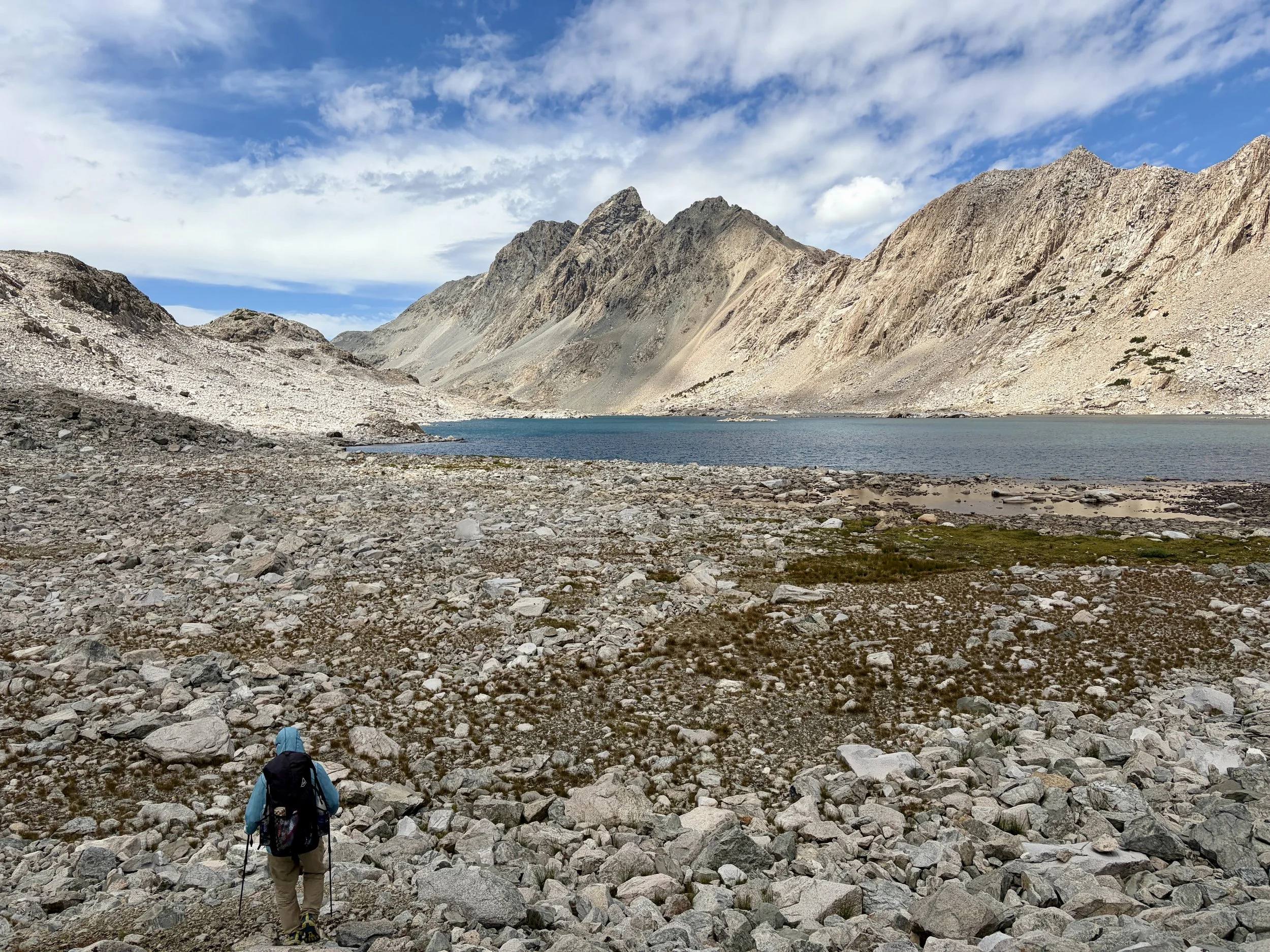
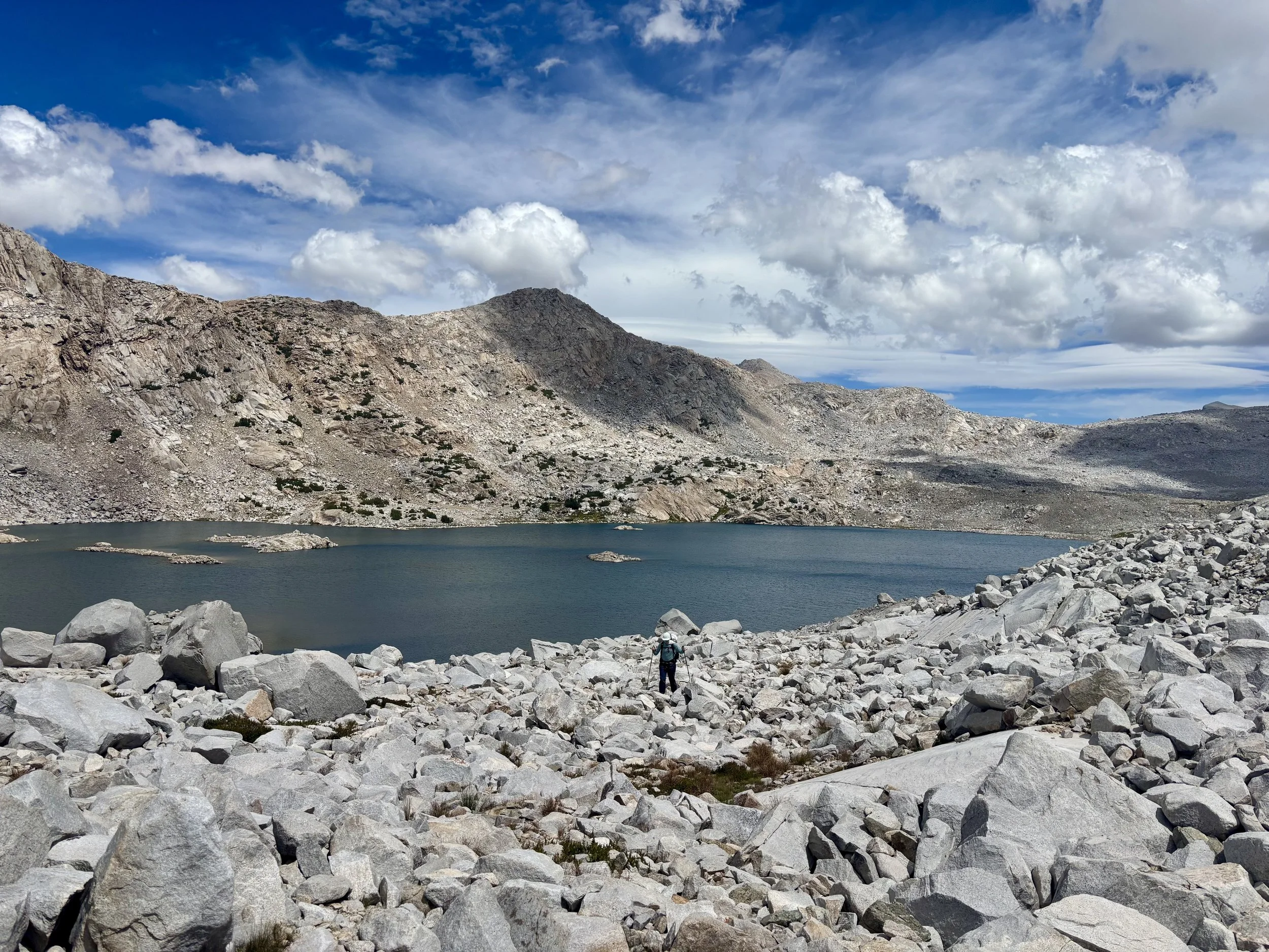
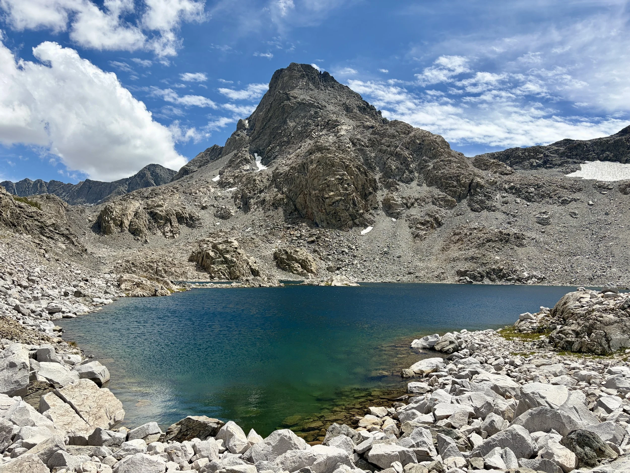
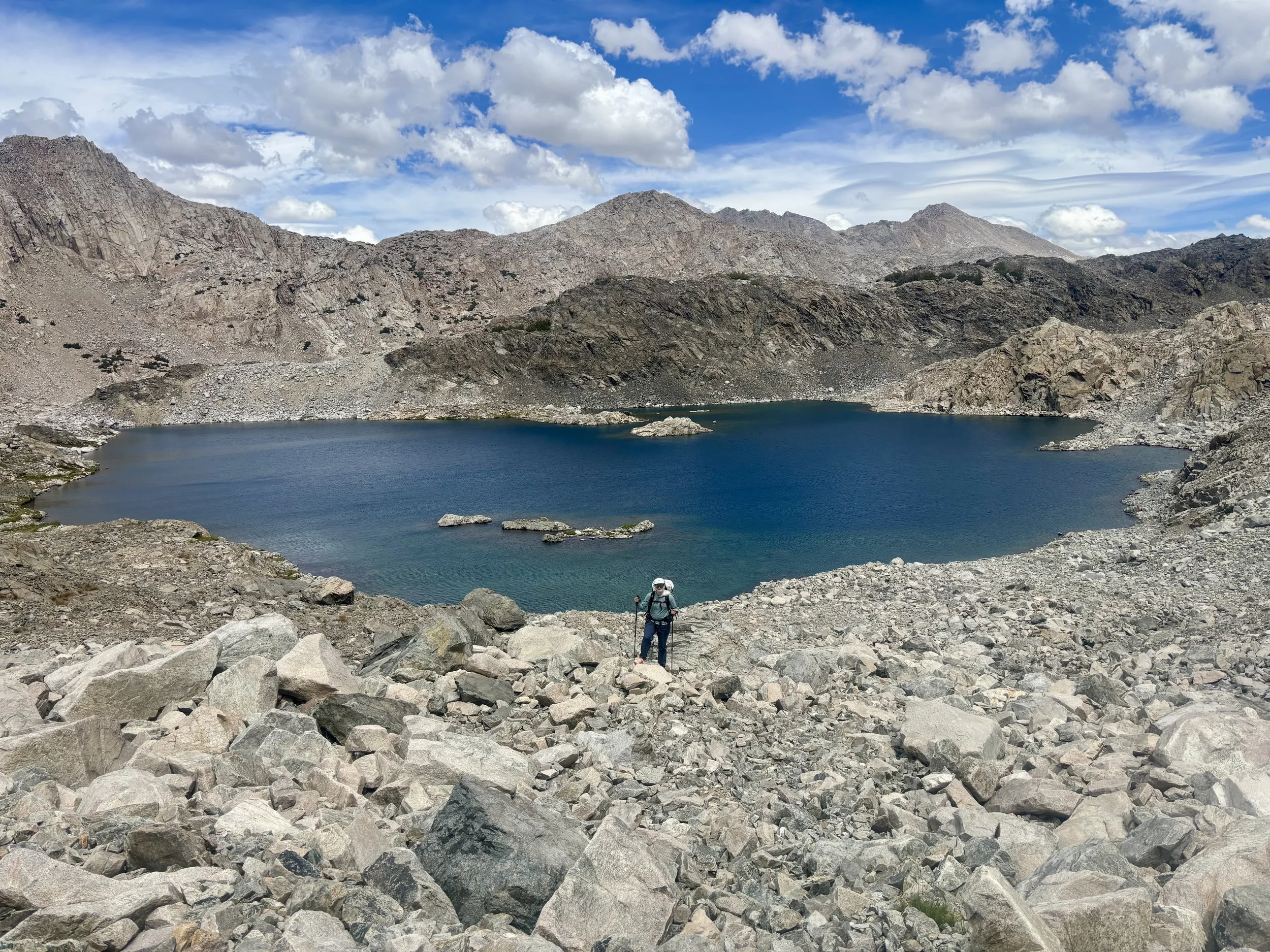
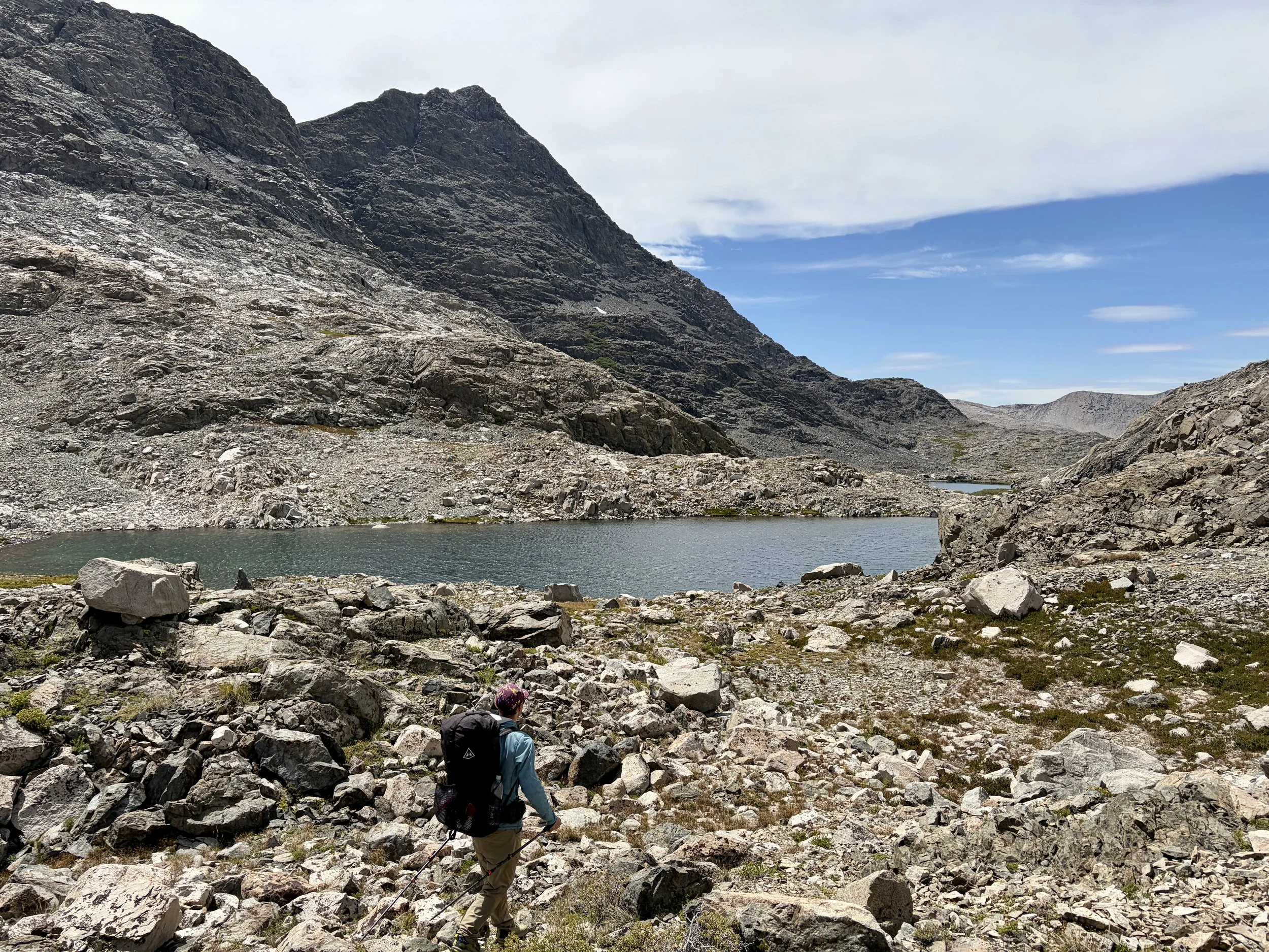
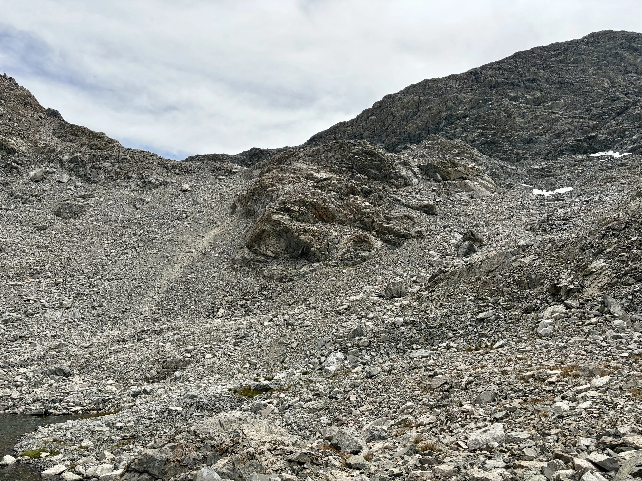
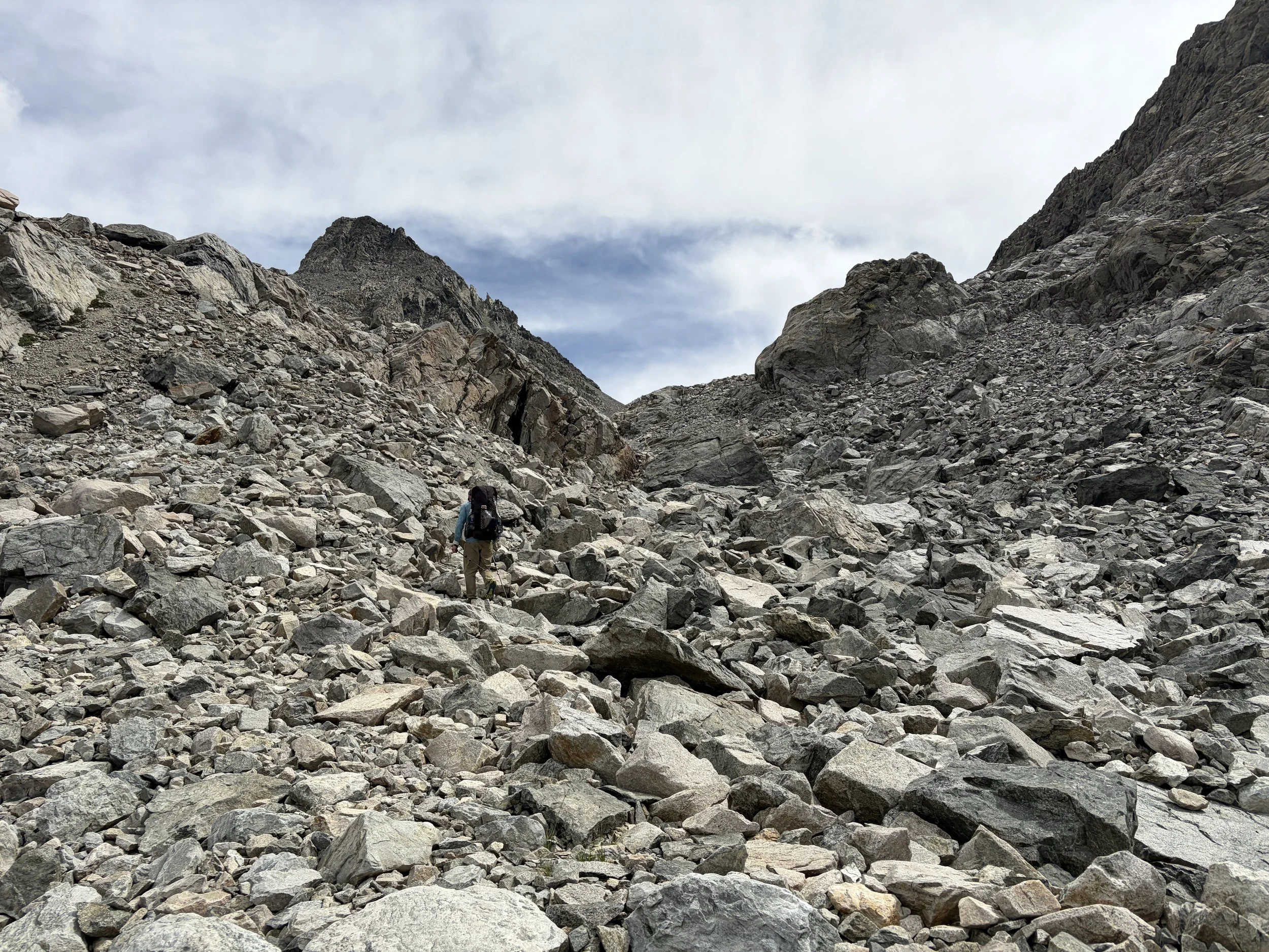
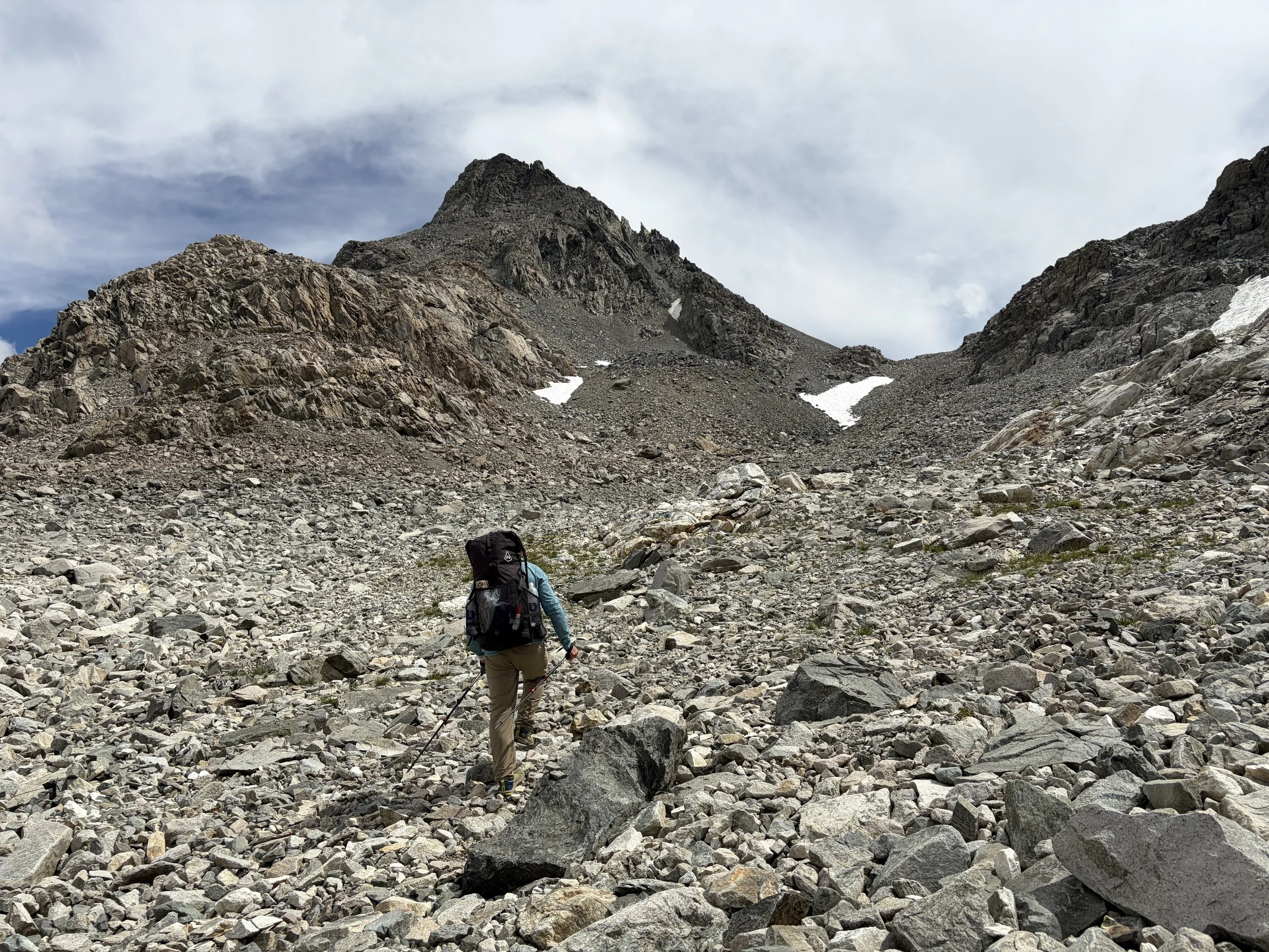
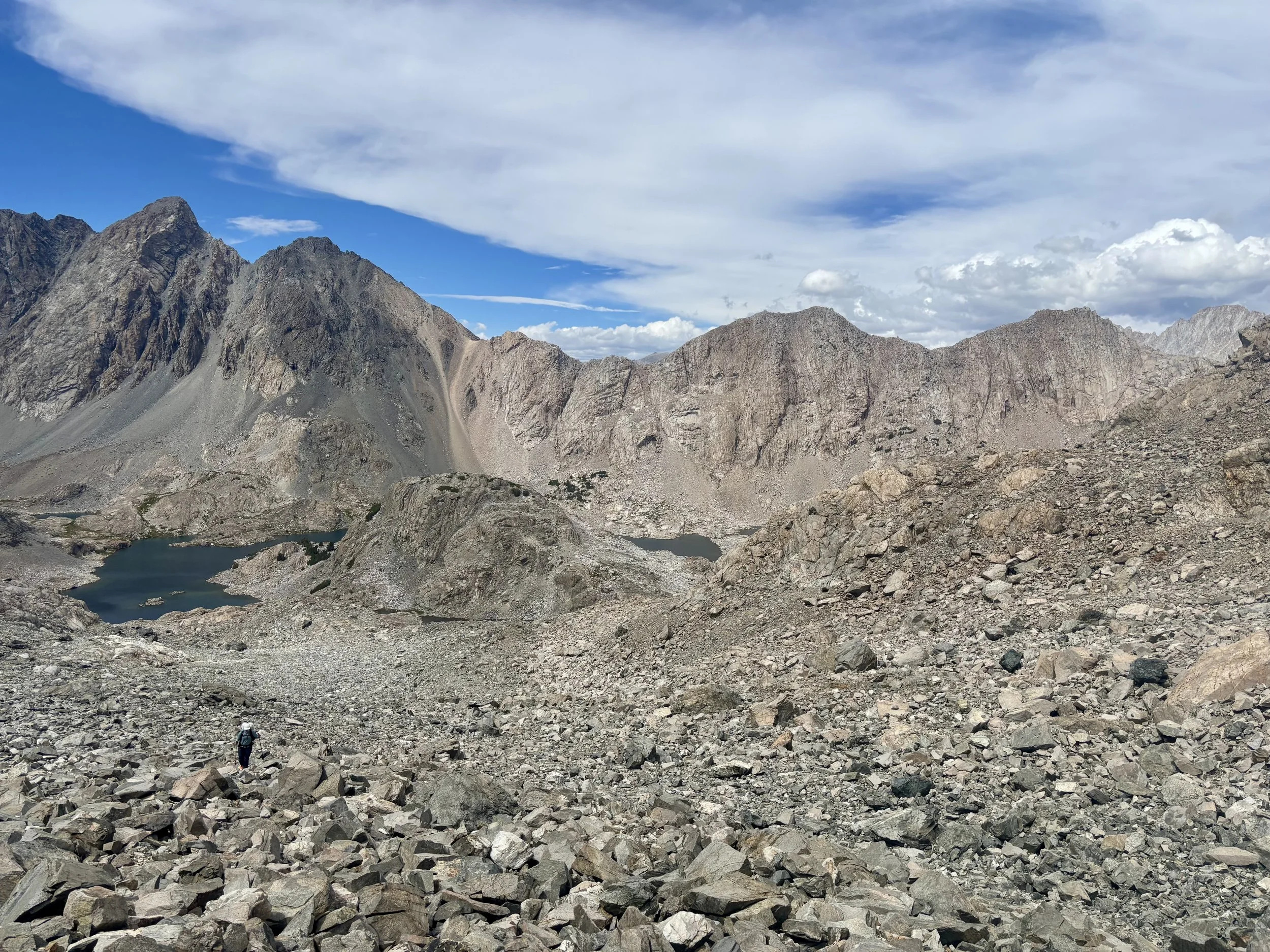
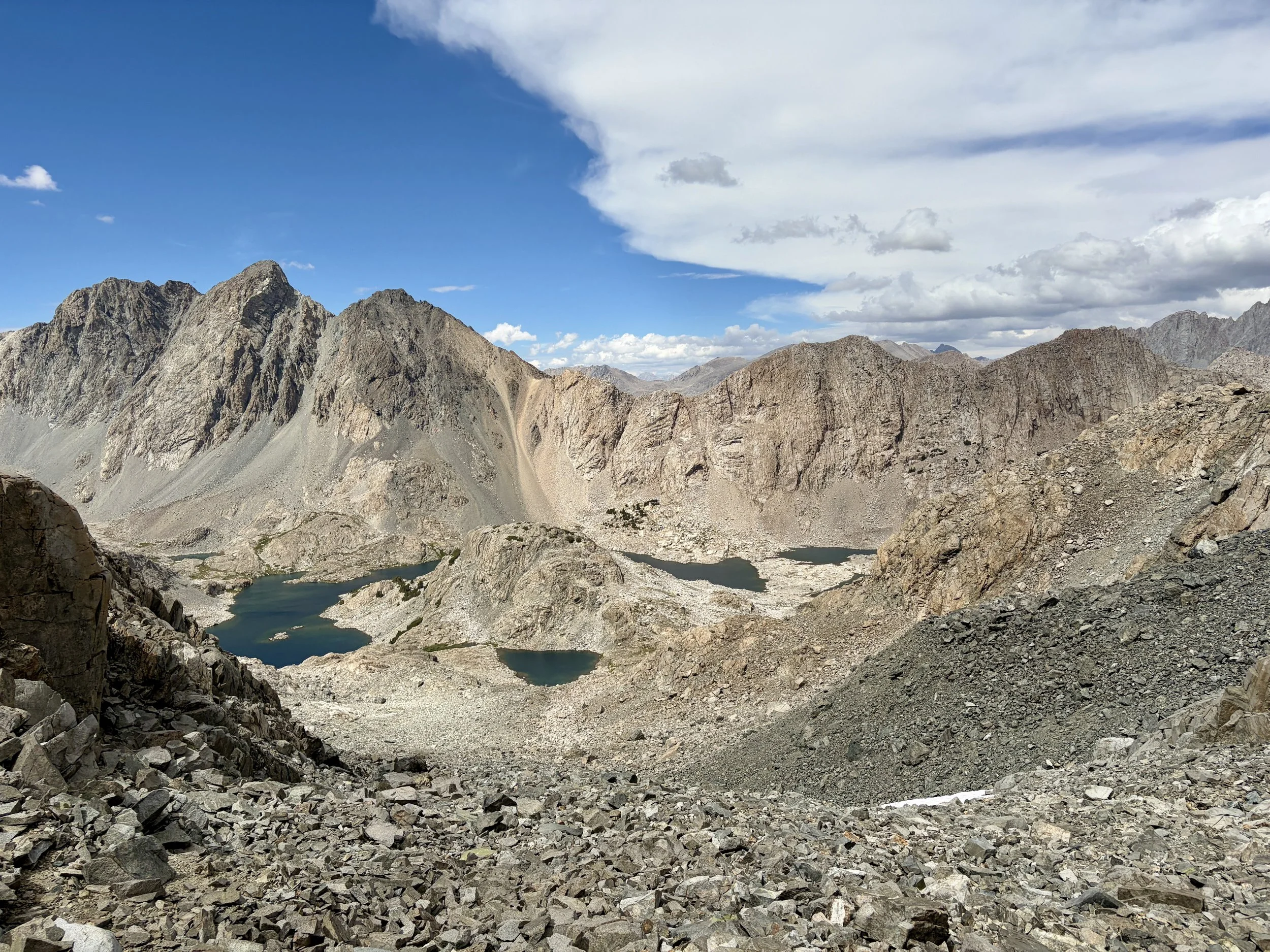
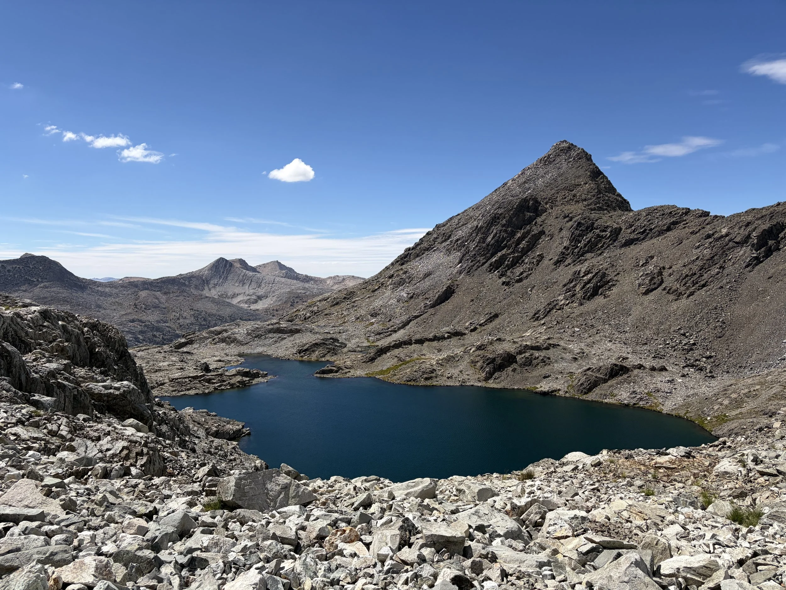
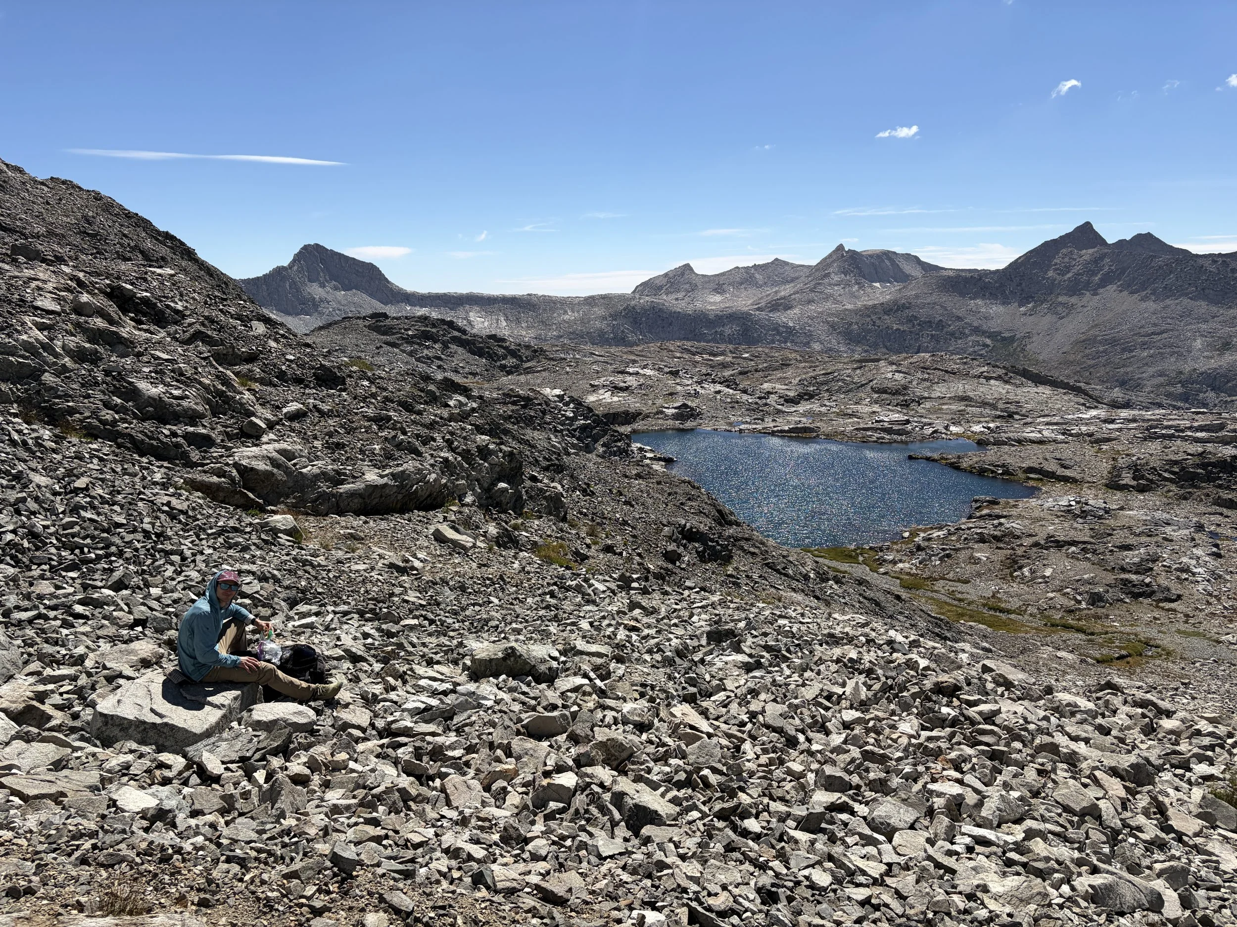
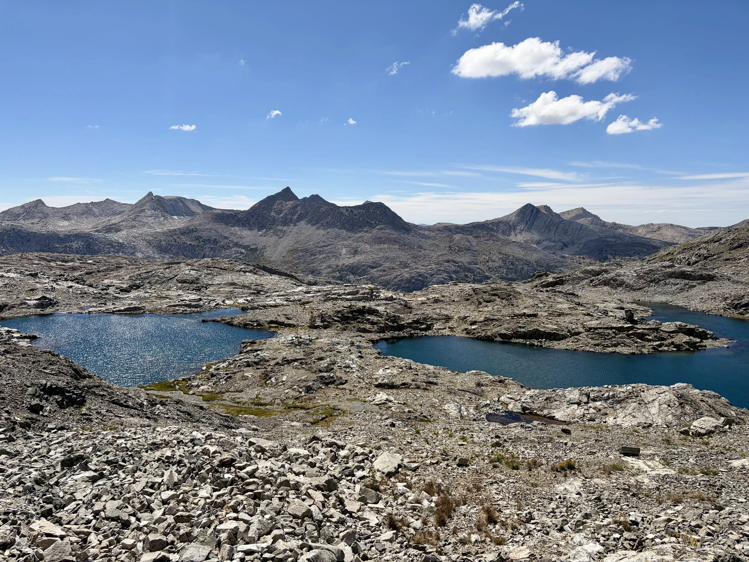
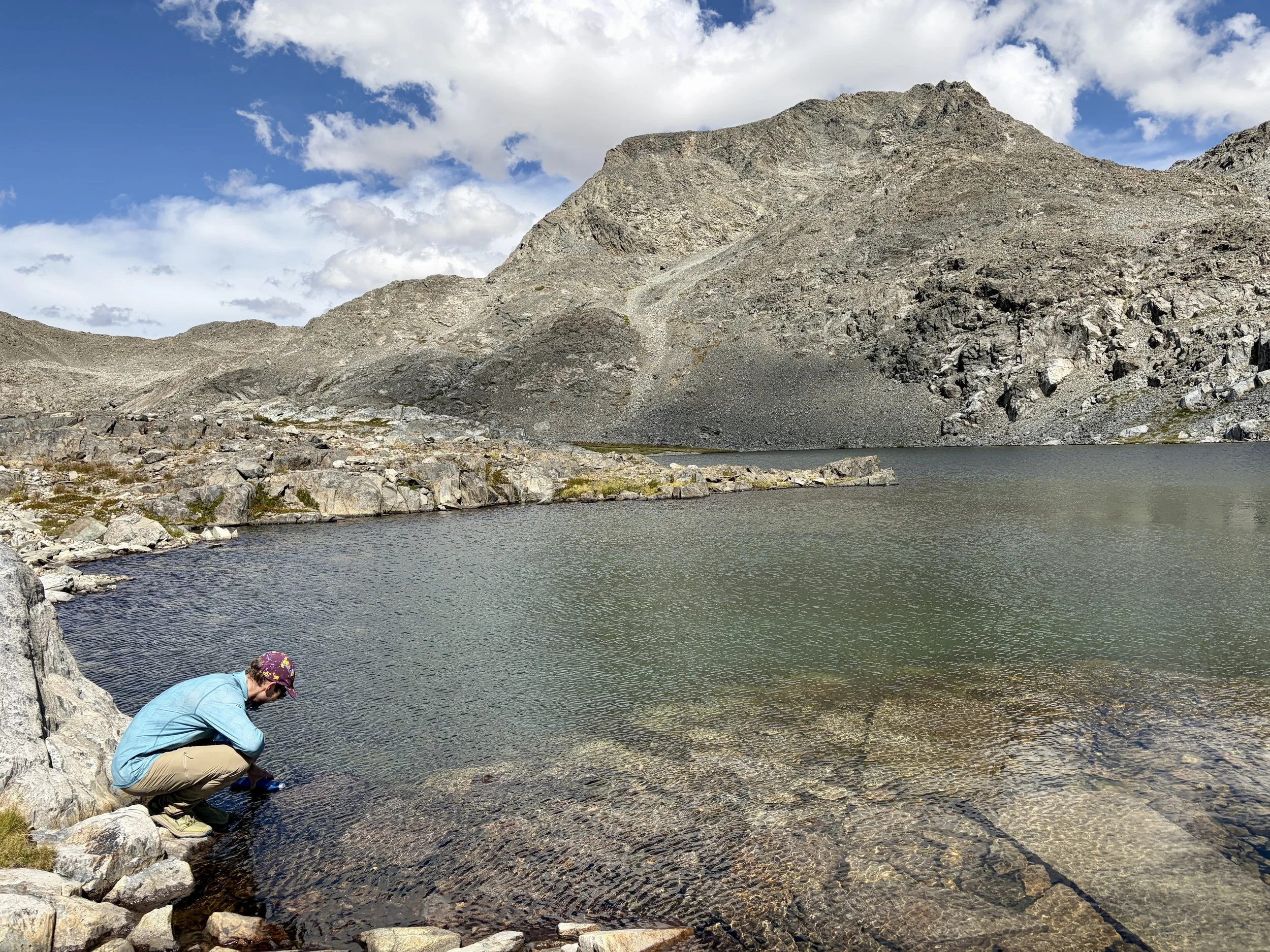
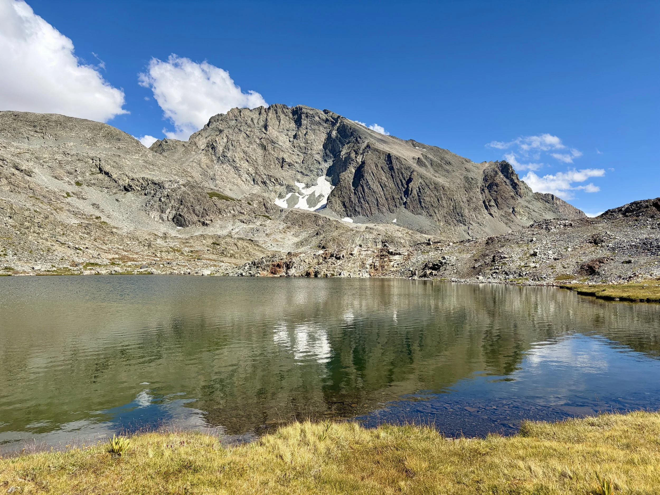
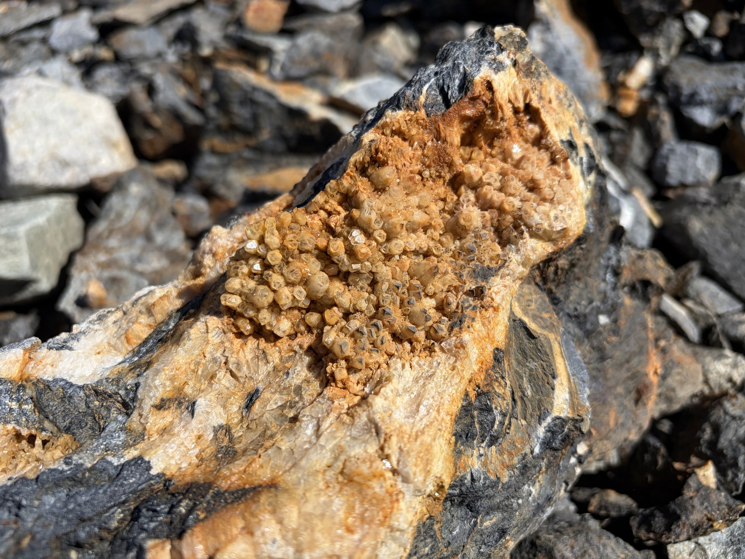
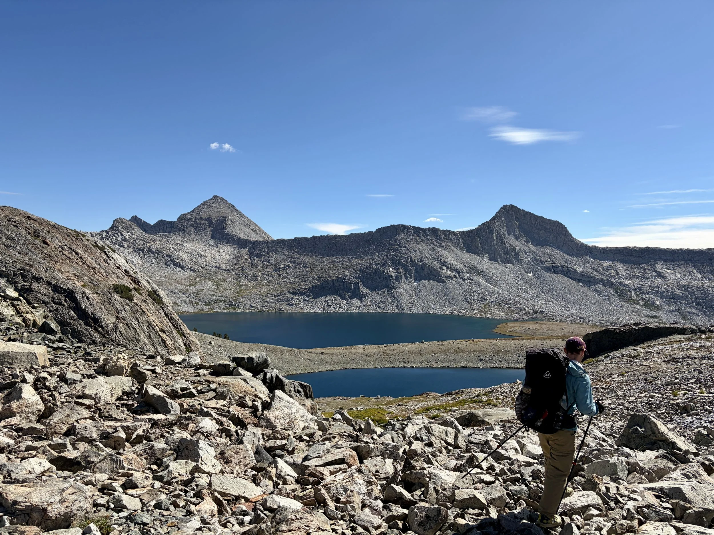
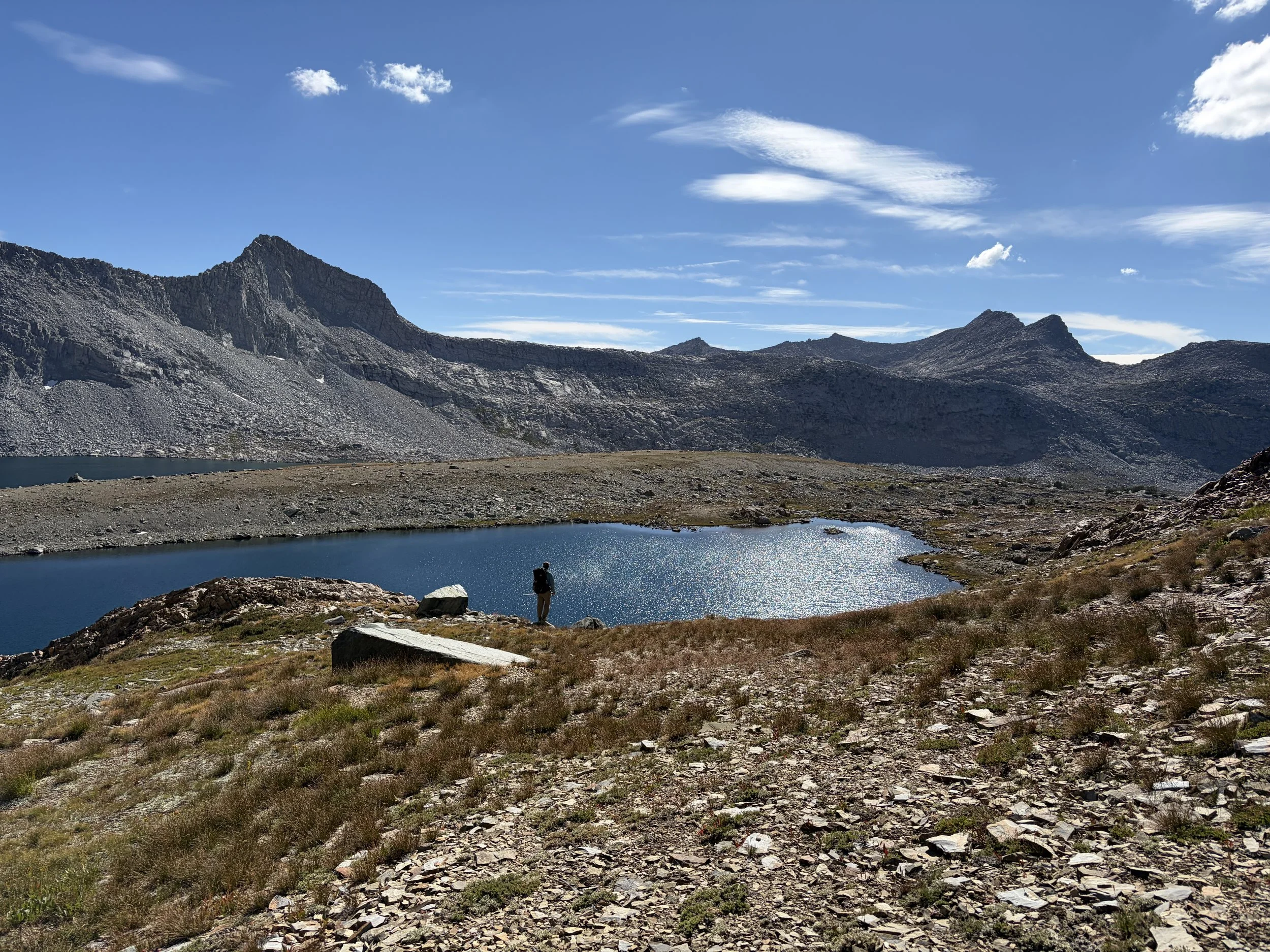
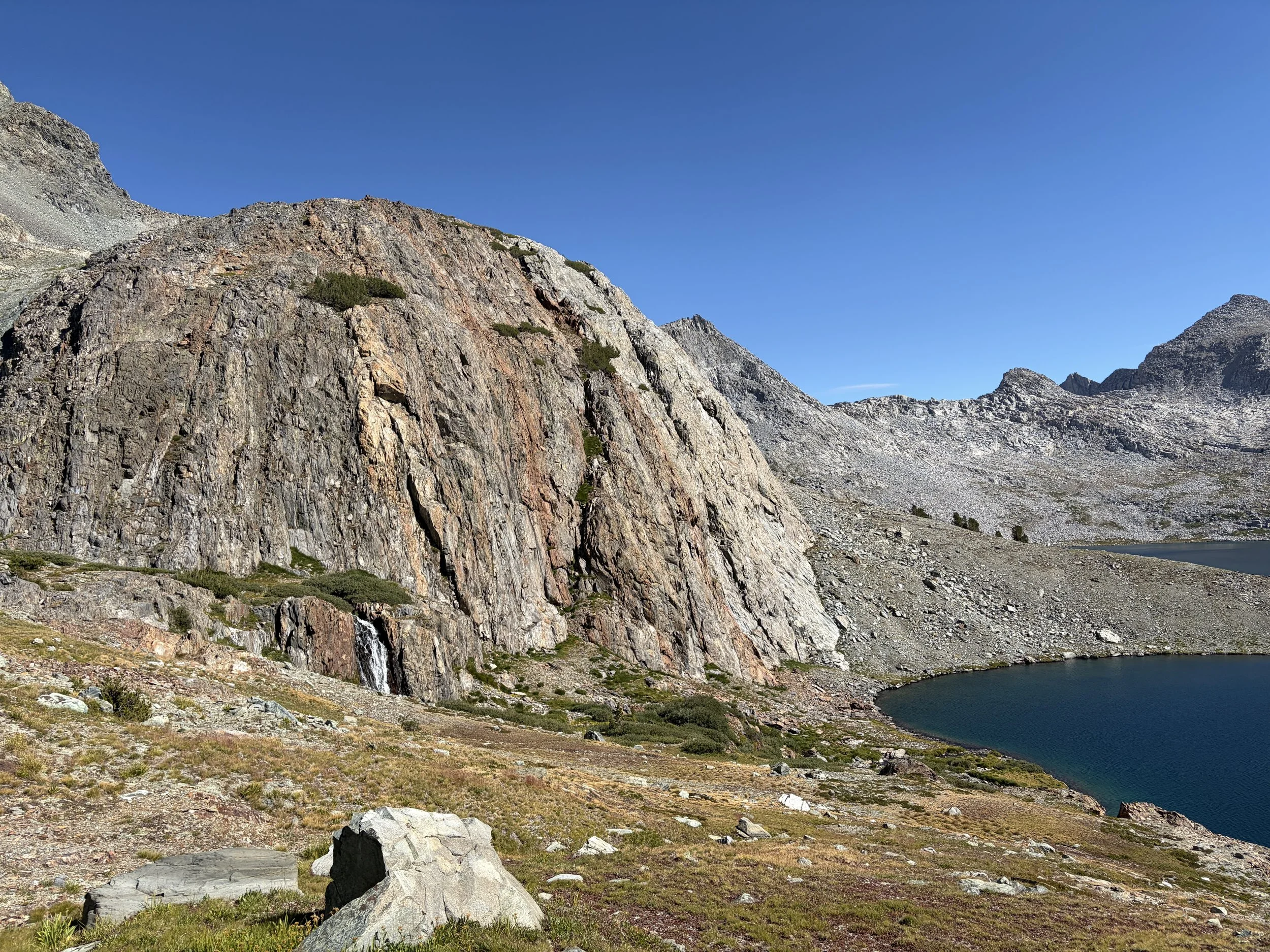
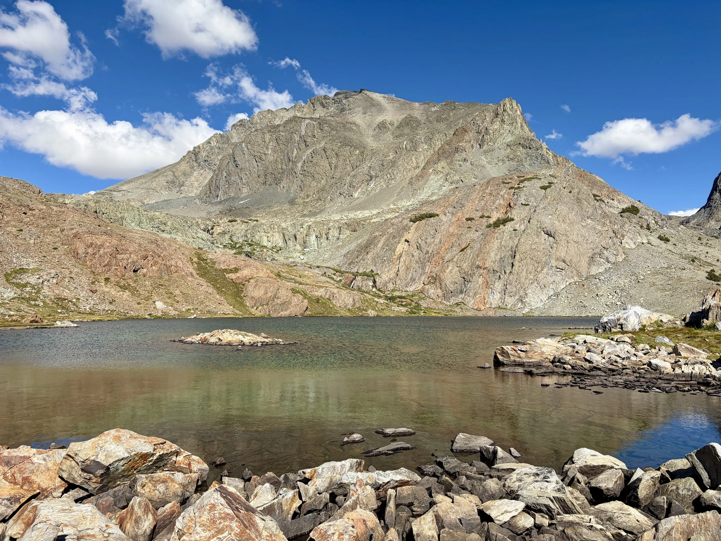
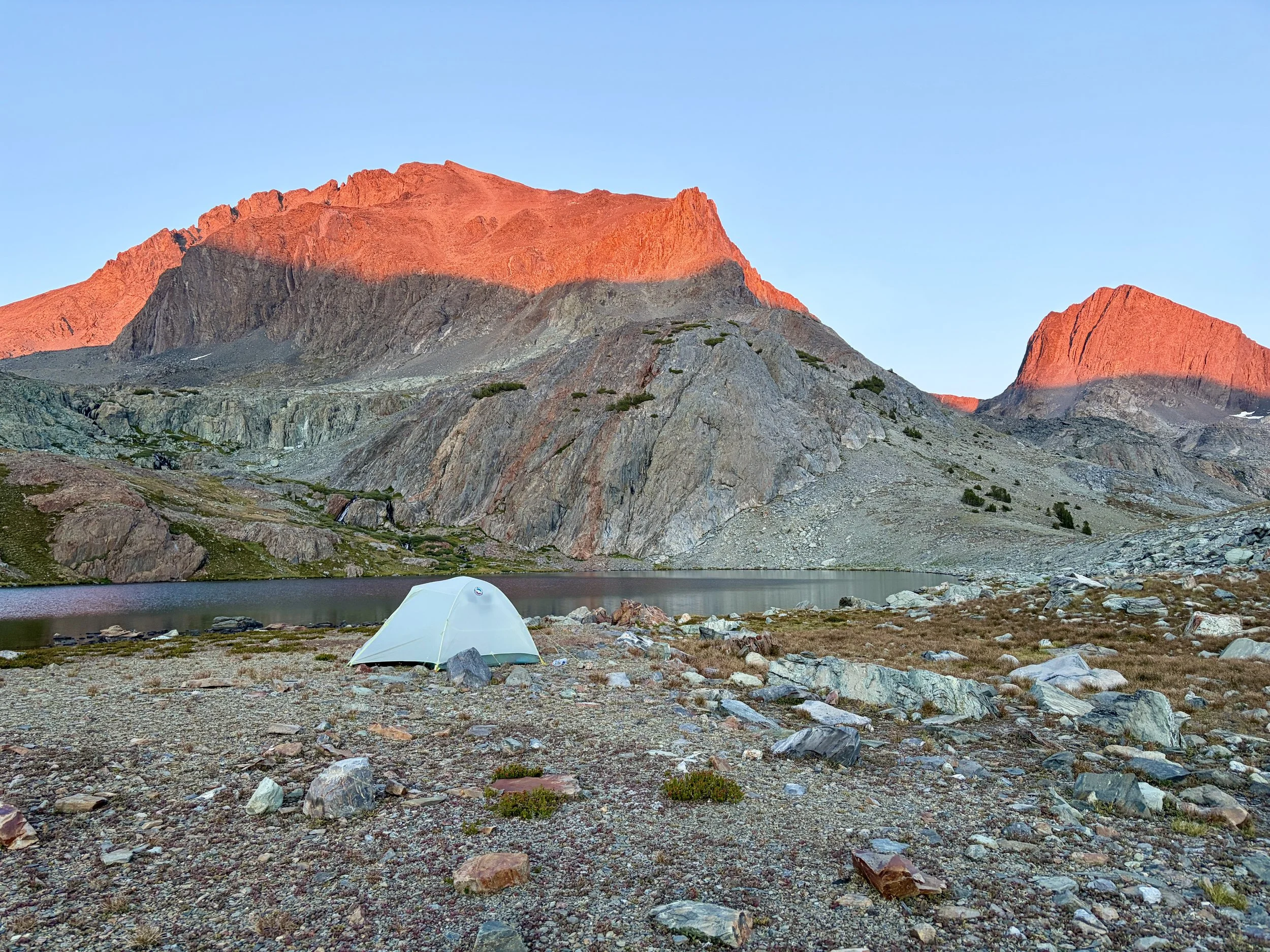
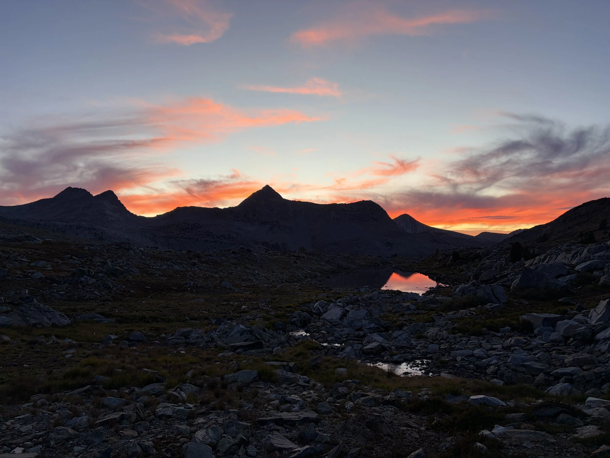
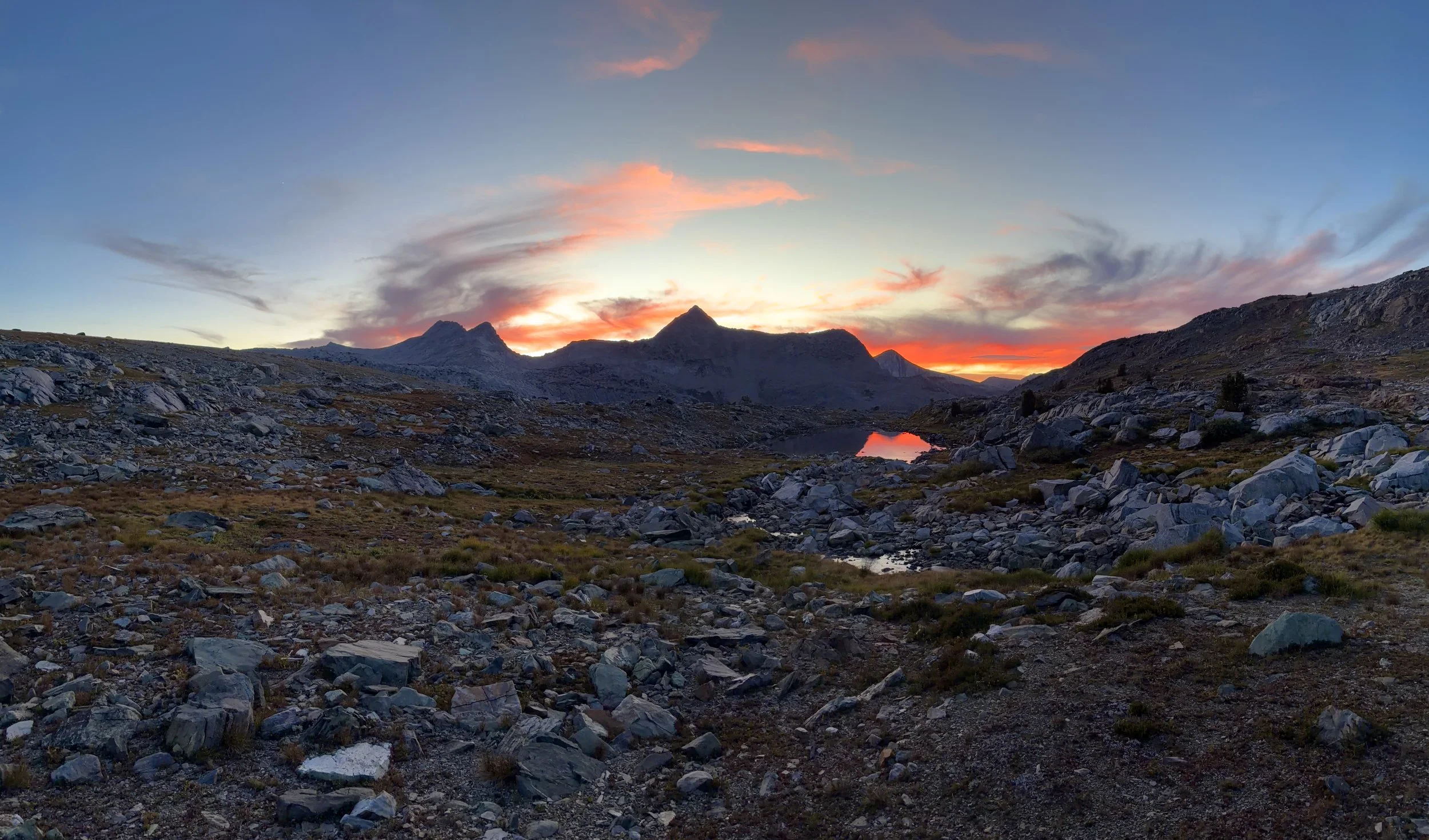
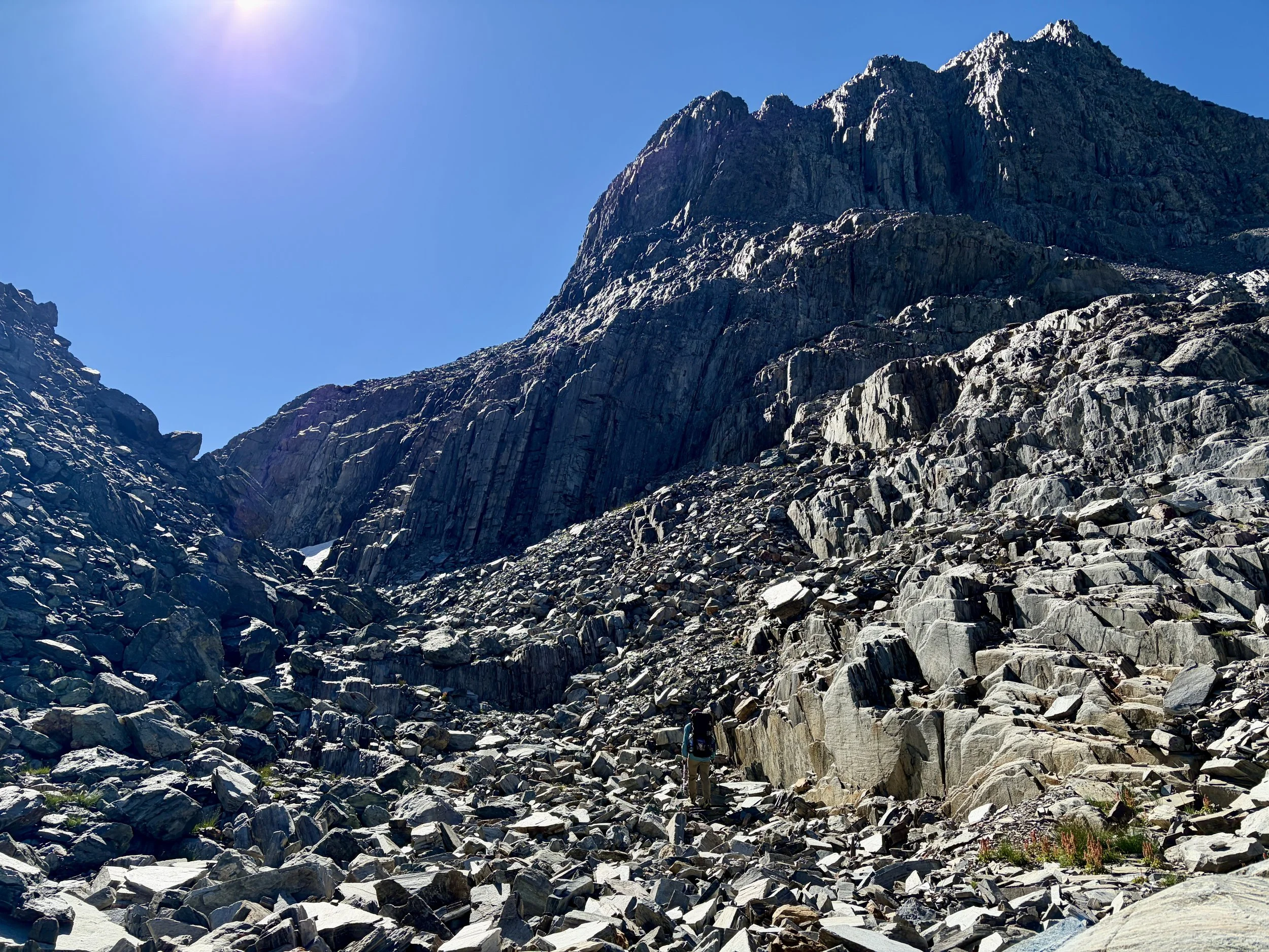
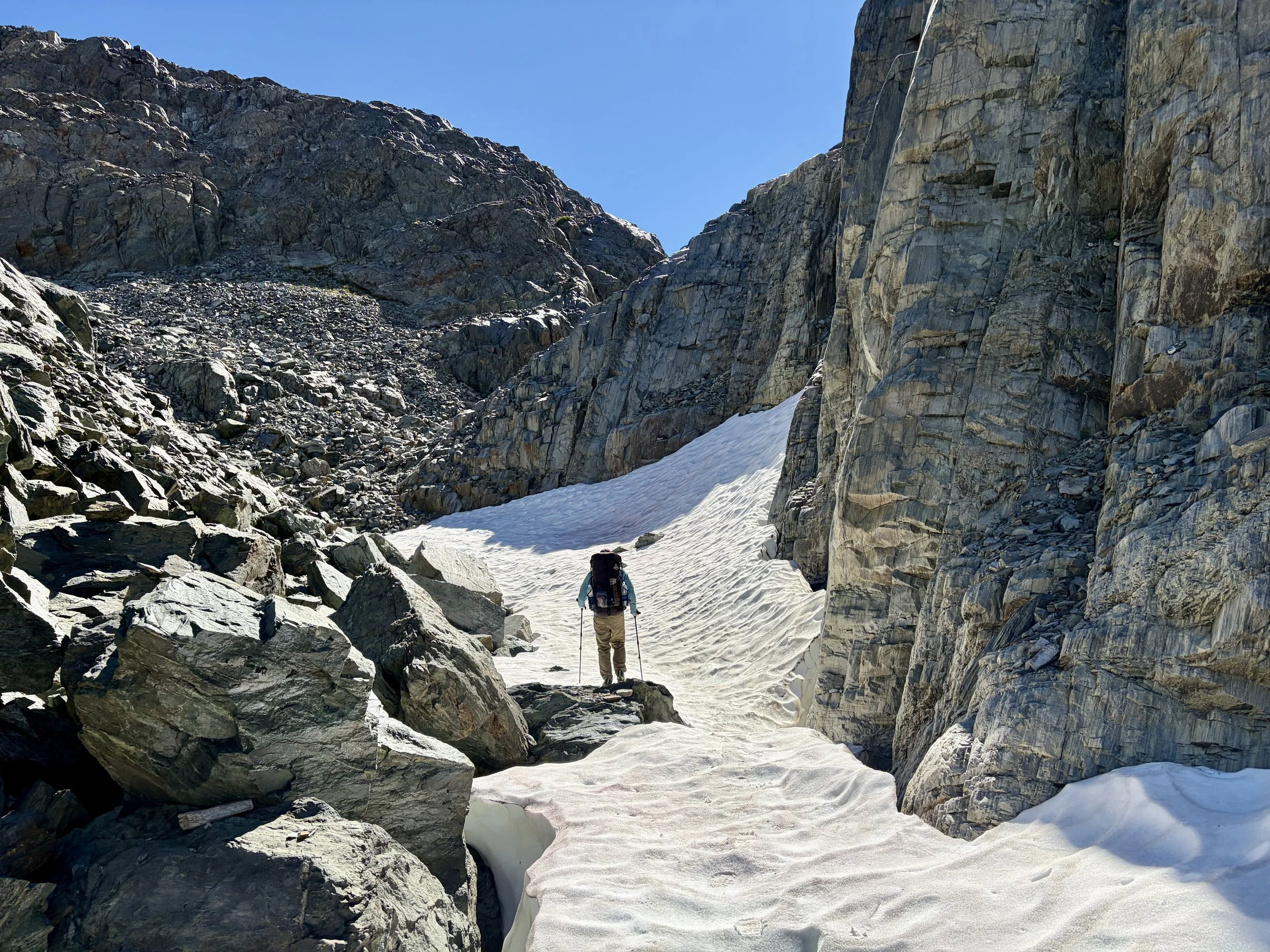
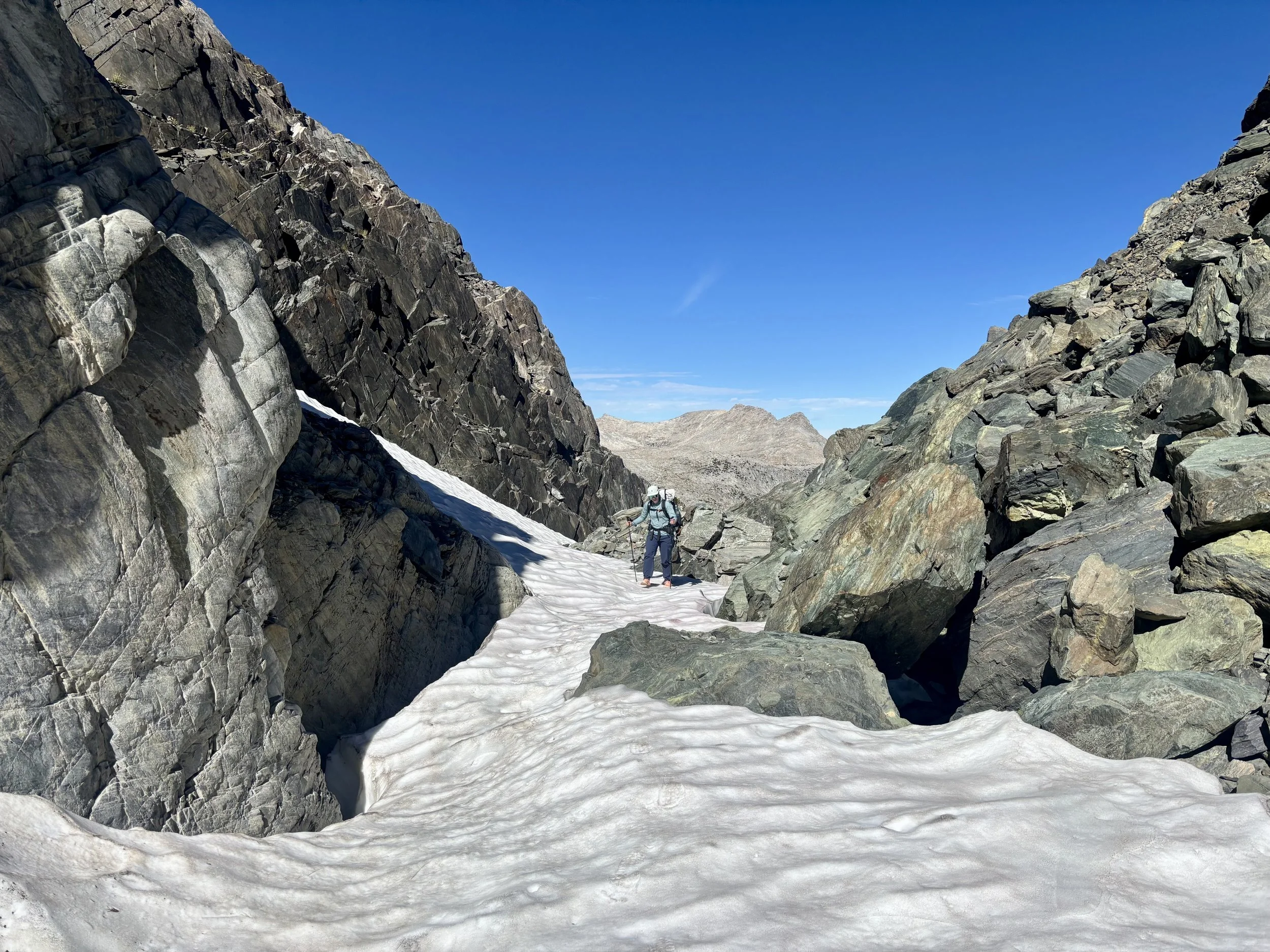
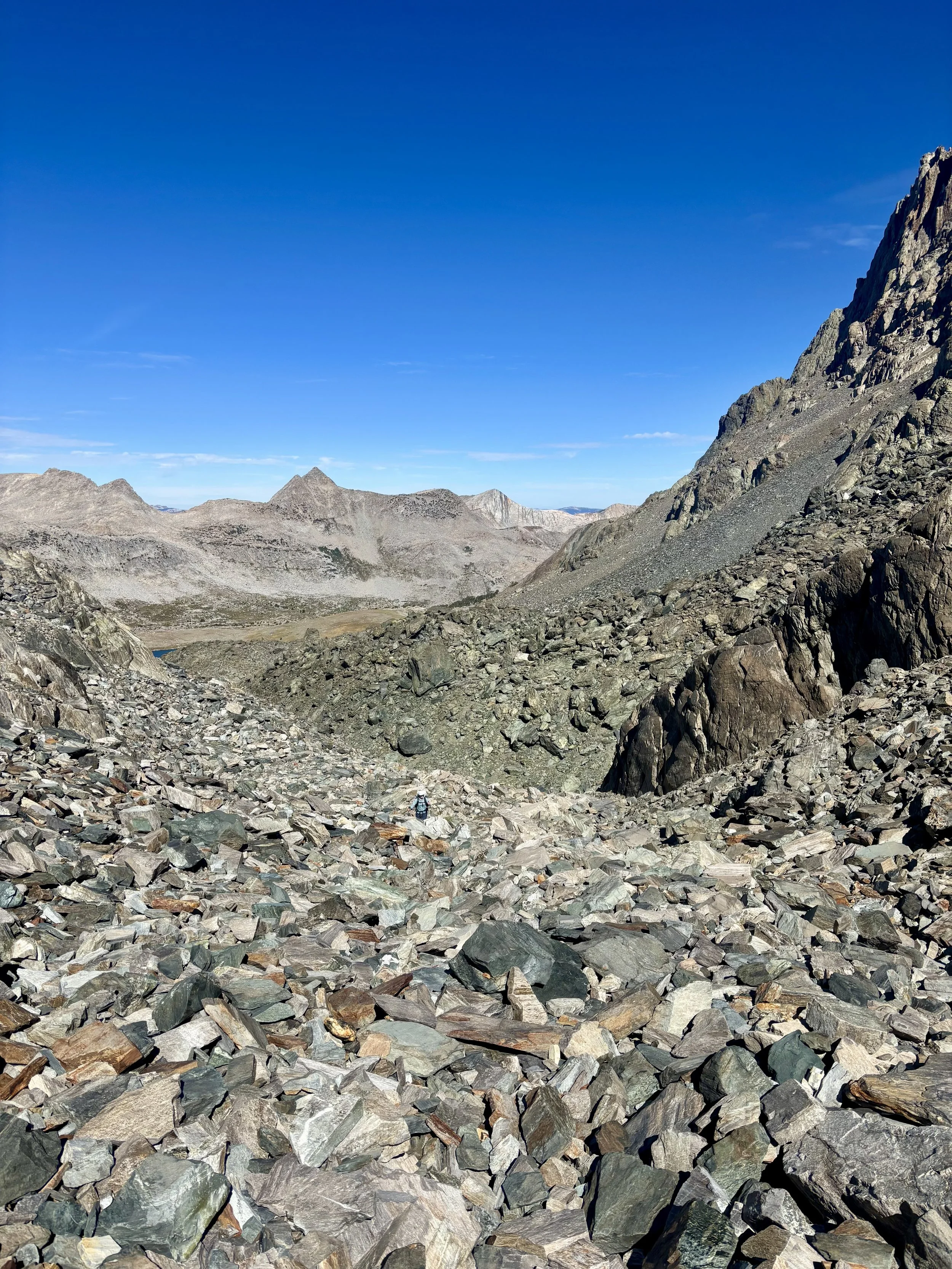
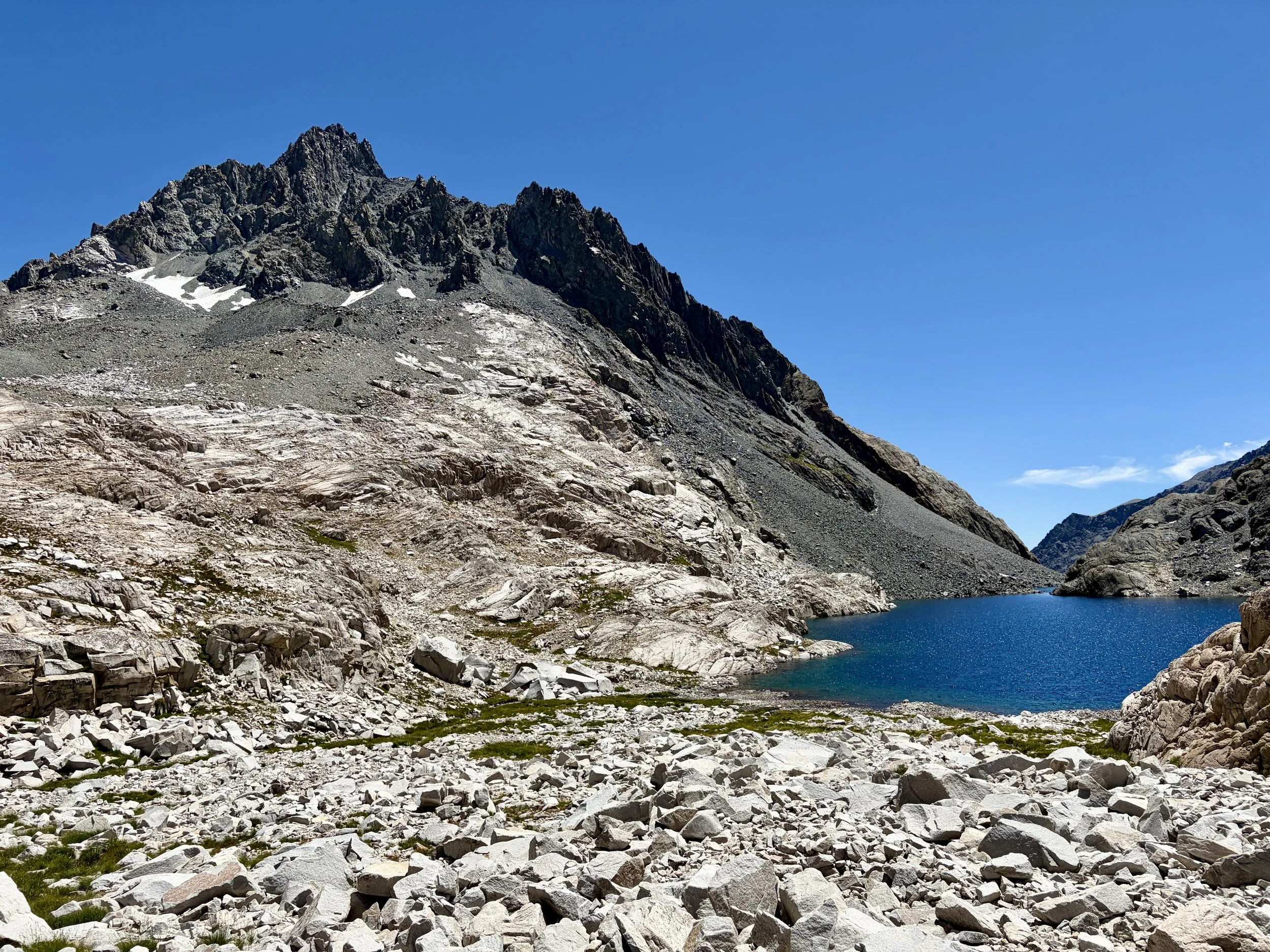
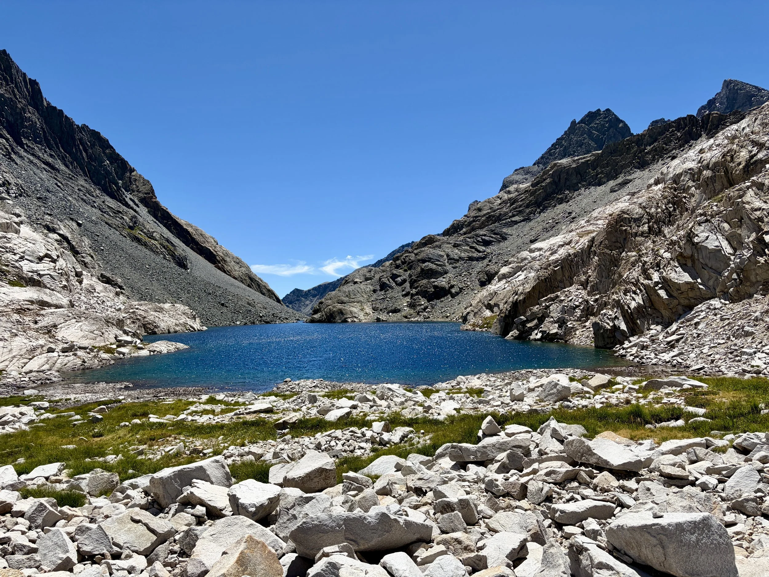
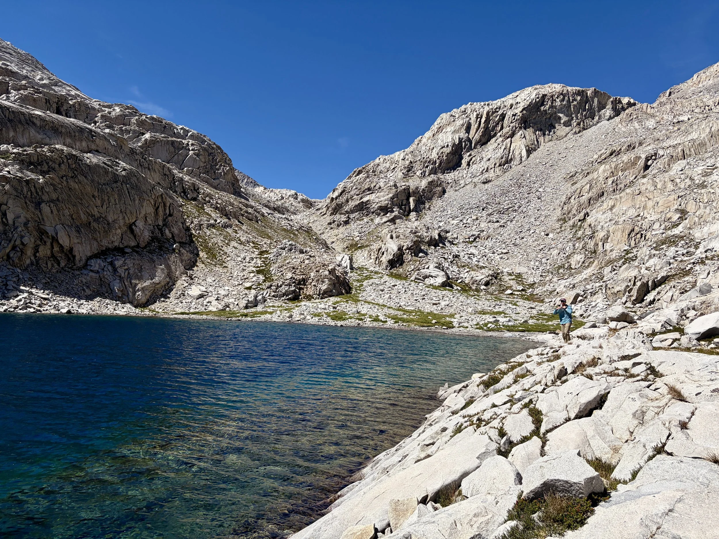
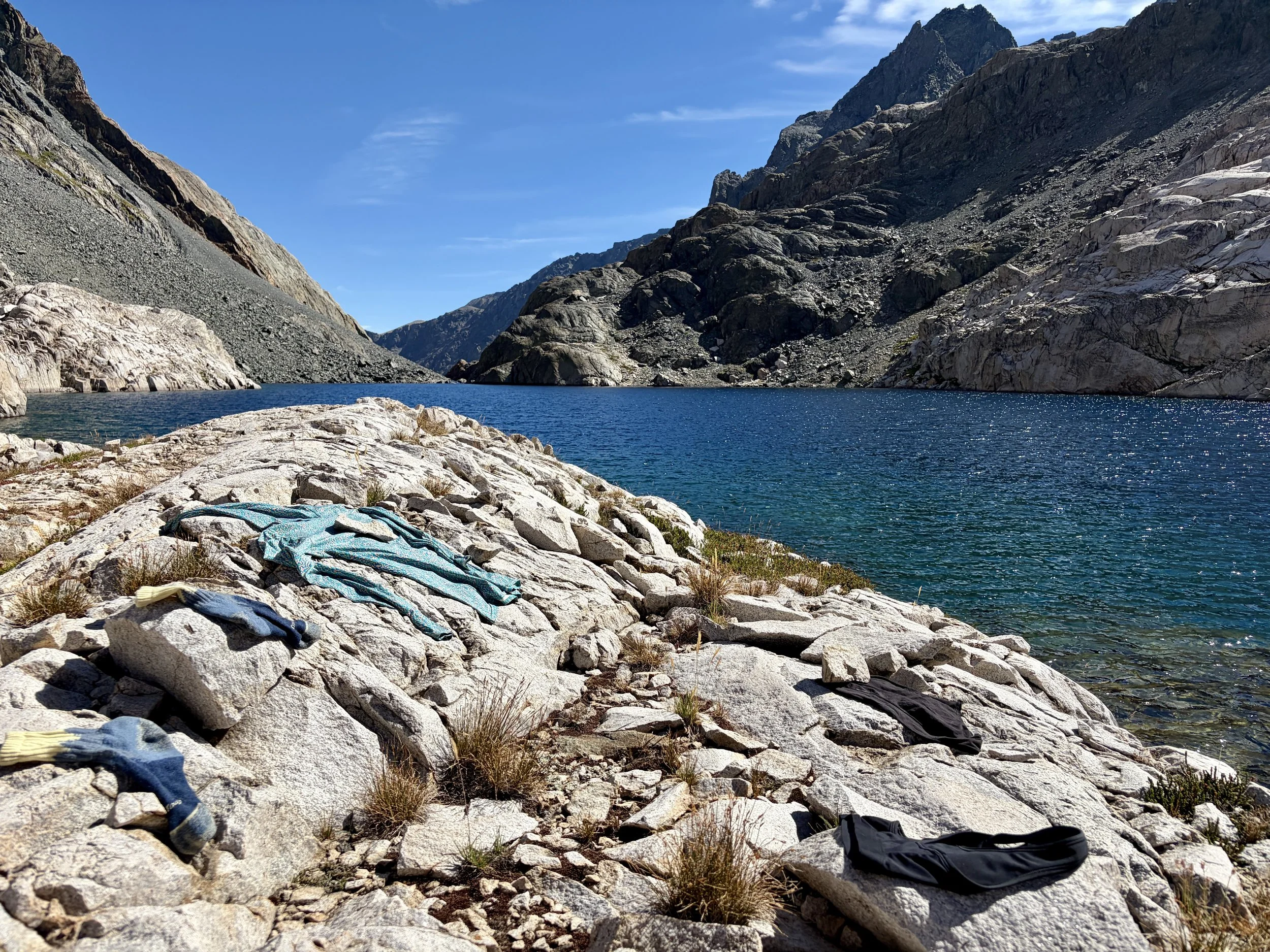
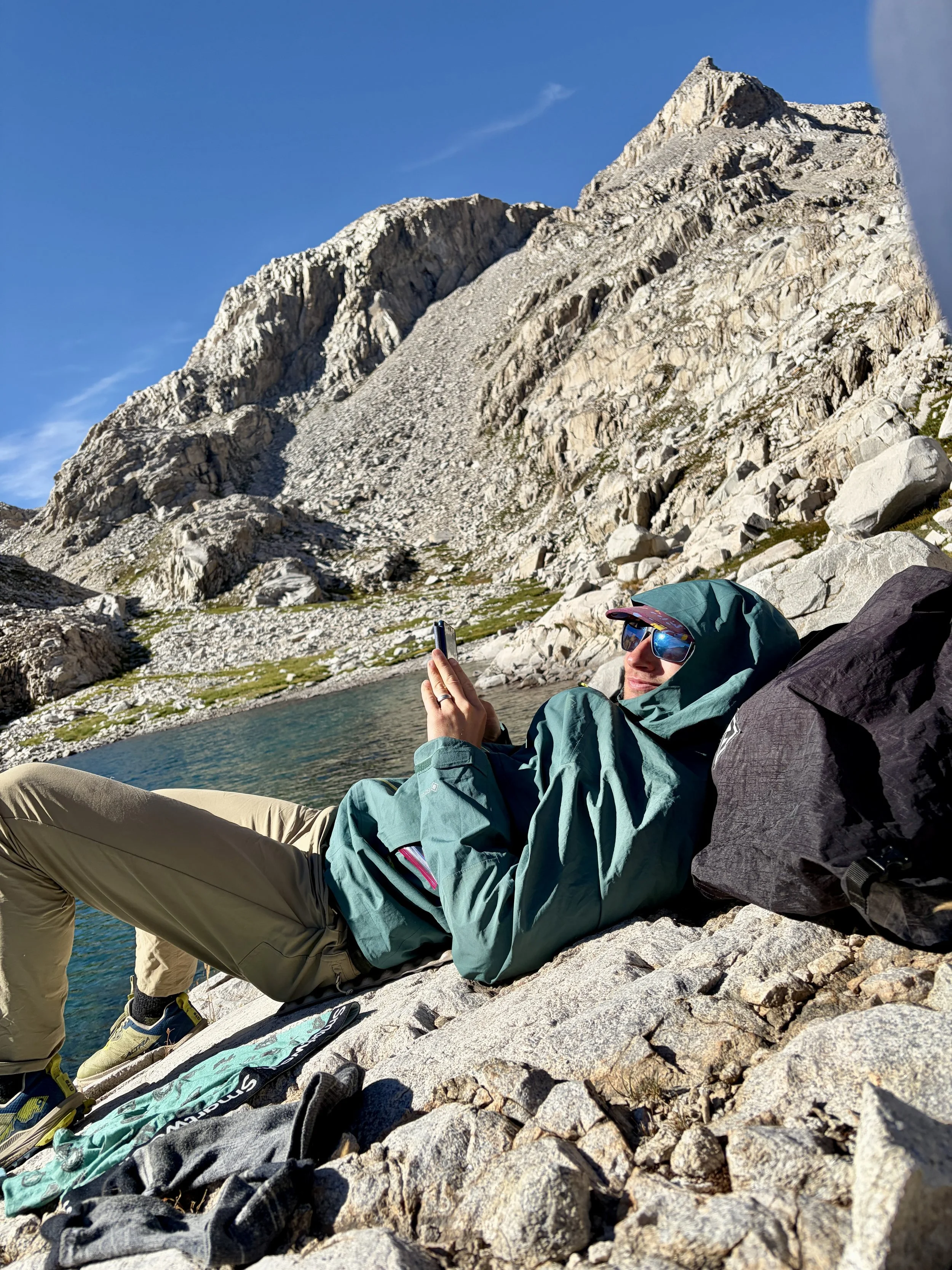
The next morning, we broke down camp and started heading towards Goddard Col. I knew people had gone through this Col before, but with limited time to research the trip, I didn’t know much about what to expect. The only surprise we had was some snow for 100 ft at the bottom of the gully, three quarters of the way up the col. Snow walking was easier than boulder hopping, so it was welcome, but we were quickly back to hopping from one boulder to another. We soon came upon Lake 11,982 and headed up past the lake to stop for a break at the large lake just southeast of Mount Goddard’s peak. We tossed out the idea of summiting, but decided the scree didn’t look so fun and that we would skip summiting. We instead headed south, with the goal of passing as many of the lakes as we could find in Ionian Basin. The walking in Ionian Basin was slow, but I had an expectation of everything being a boulder field and was pleasantly surprised to find that there was also walking on more normal ground at times too. After passing 8 or so lakes, we found ourselves standing above the lake south of Wanda Pass. We started discussing where we wanted to camp that night and decided this lake wasn’t it. So we headed southeast through a steep gully and found ourselves on the shore of Chasm Lake. We decided to stop here for an afternoon snack of ramen. After the snack we were both feeling a little sluggish, and we decided that Chasm Lake felt like a really nice spot to camp. So we set up our tent and decided to lounge by the lake for the rest of the afternoon. Of course, we took a swim in this lake and found it to be colder than the previous two we had swam in. The swim did not last long! We had an early dinner and headed to bed after another beautiful sunset.
Day 3 Stats: 4.9 miles, +1804 ft of elevation gain, -1972 ft of elevation loss
Day 4
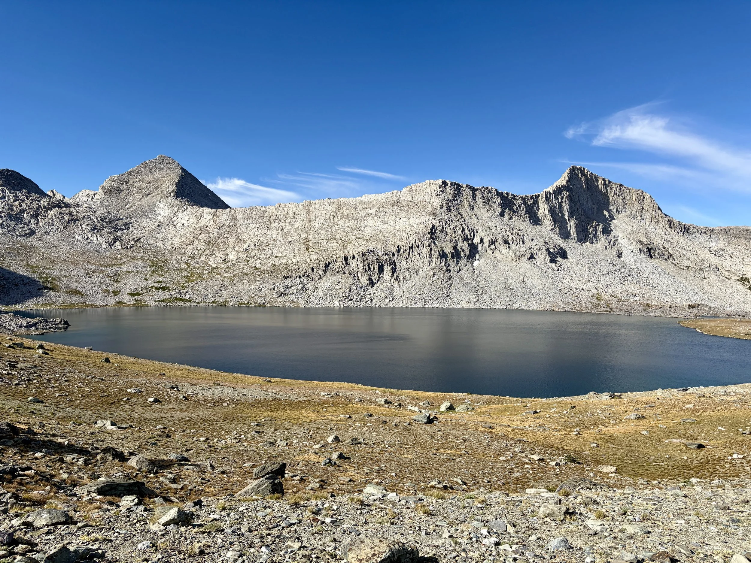
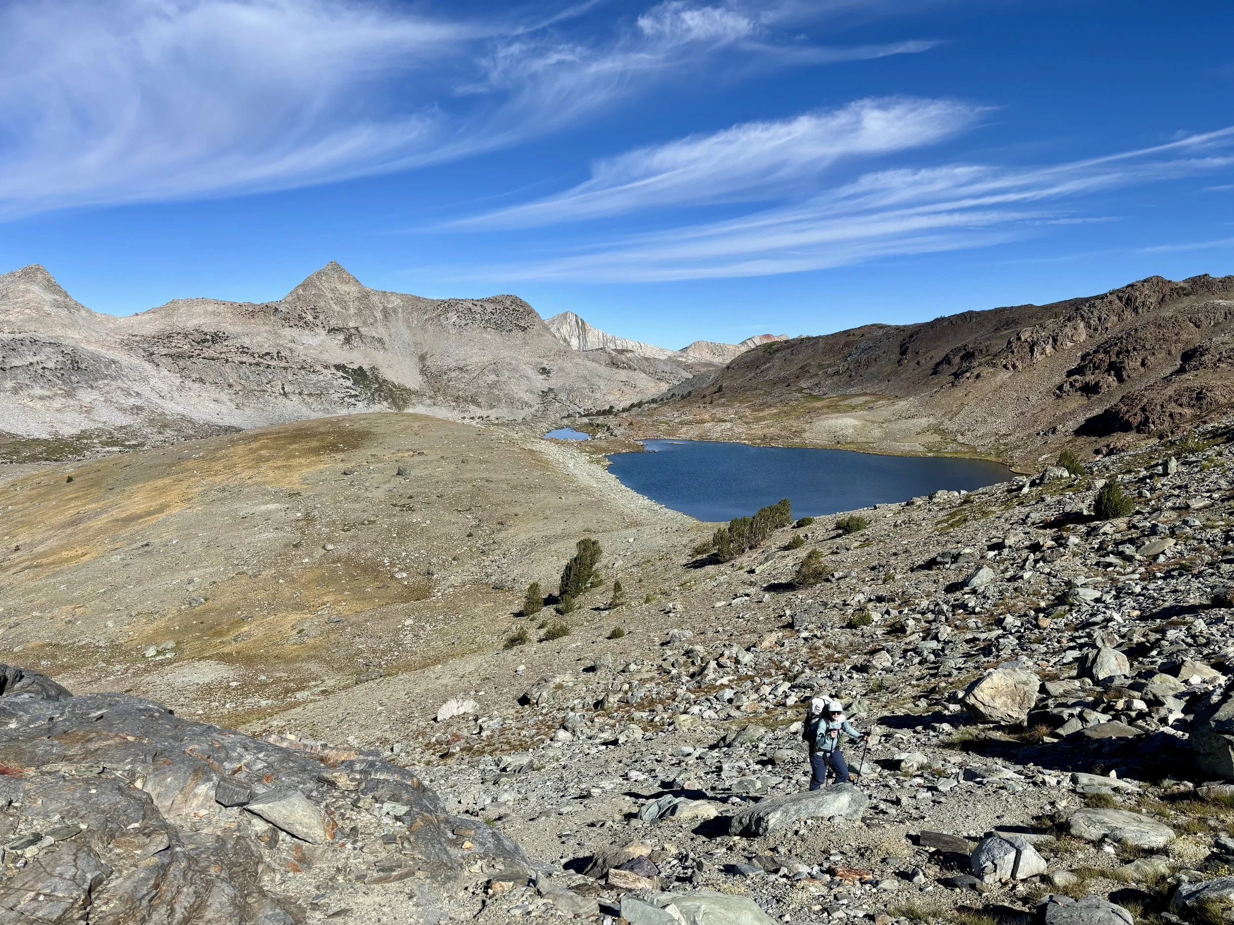
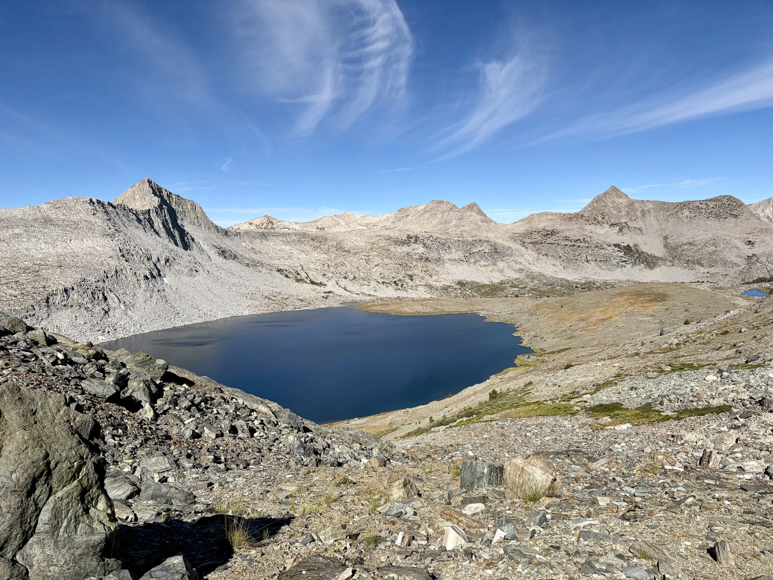
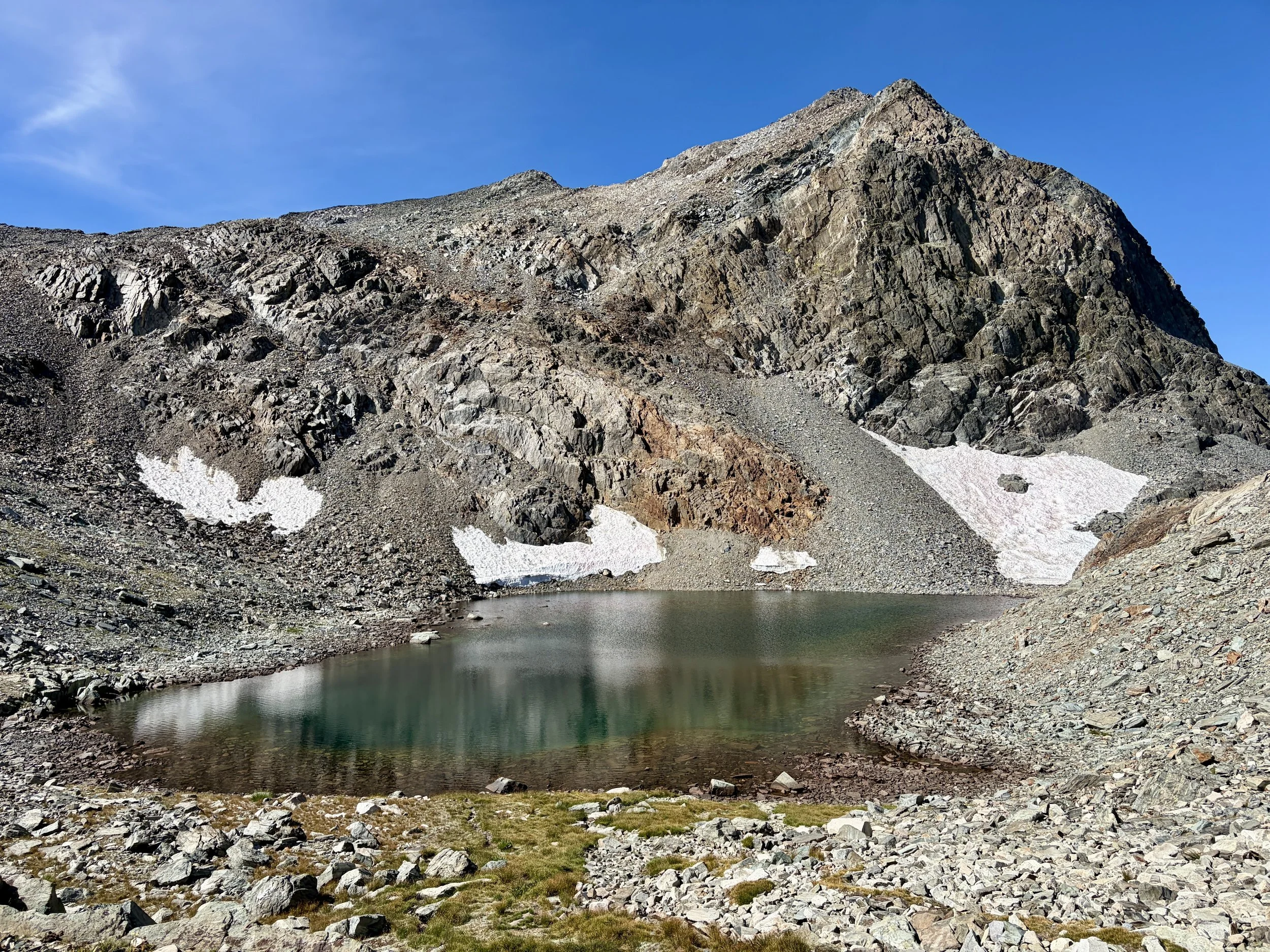
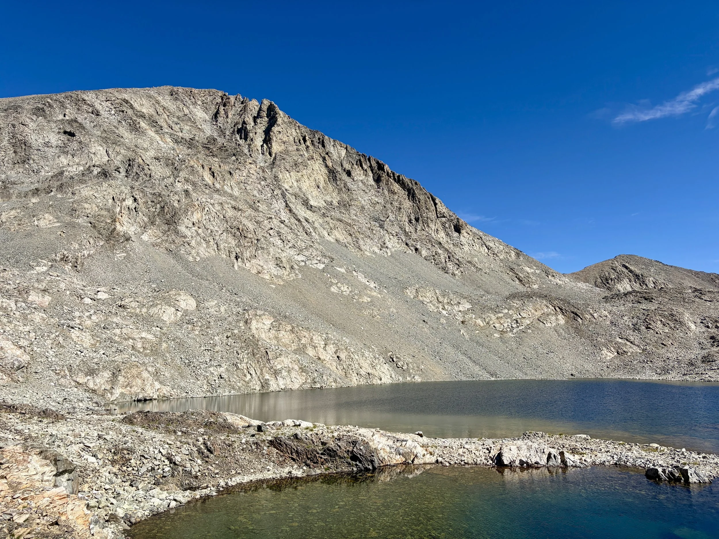
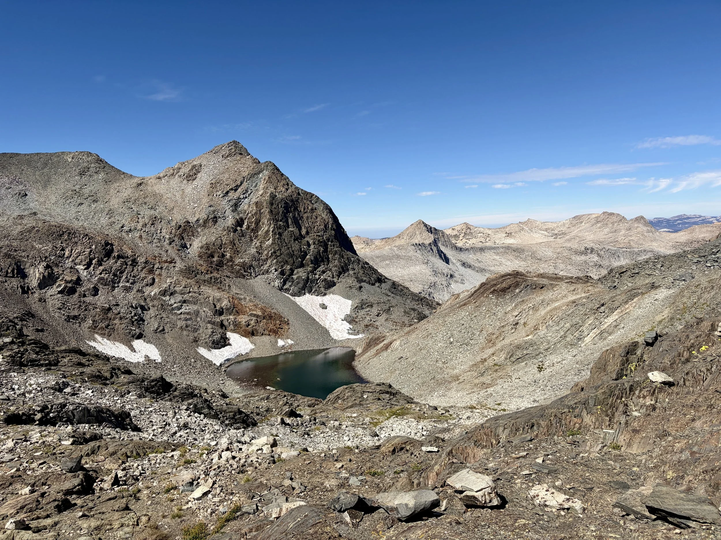
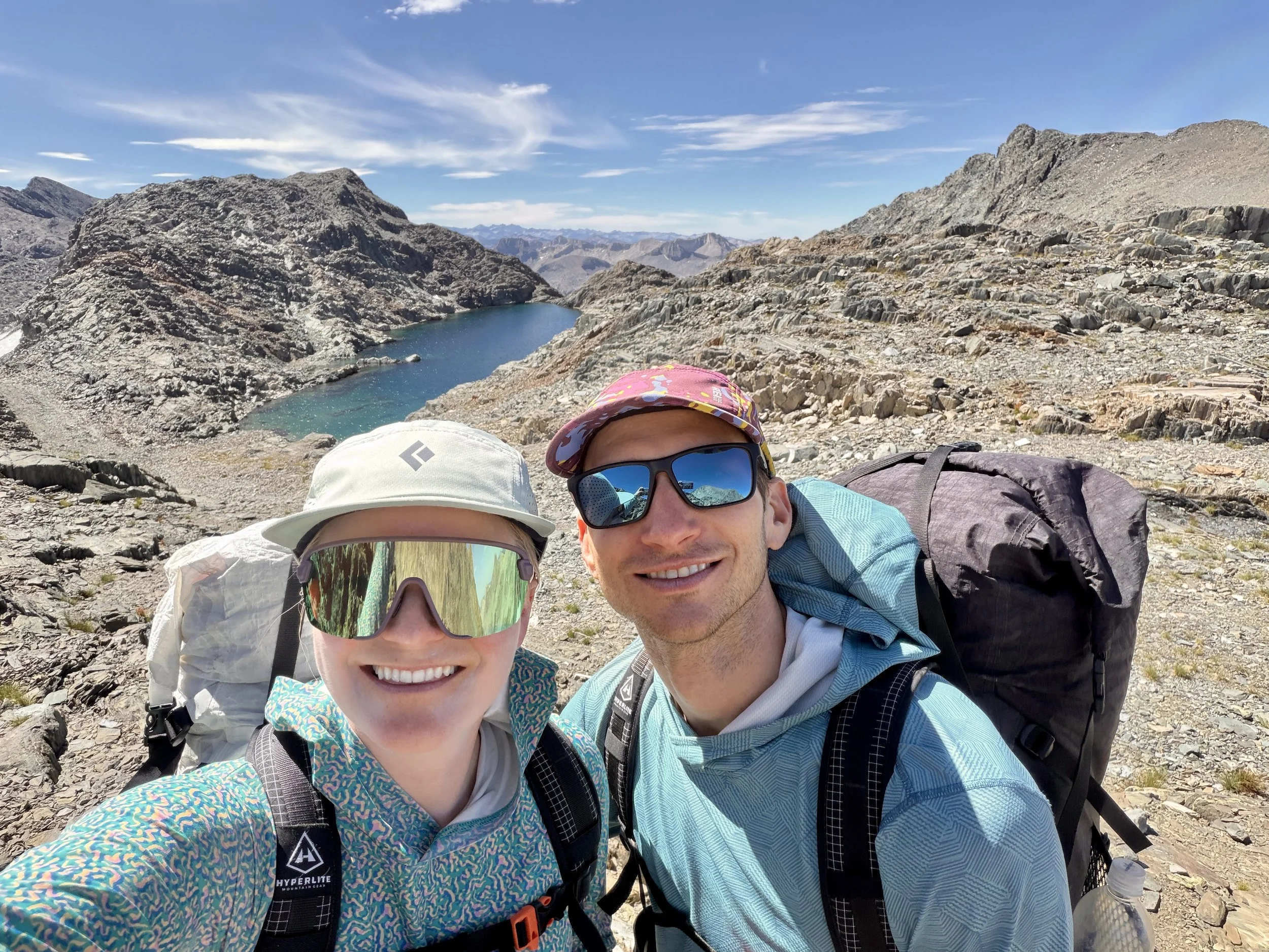
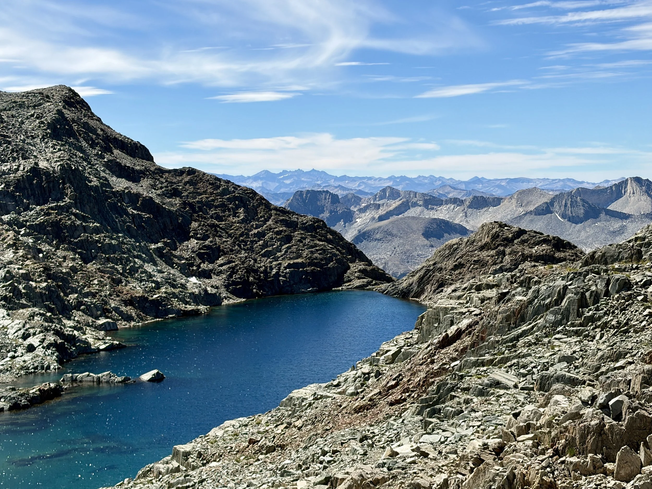
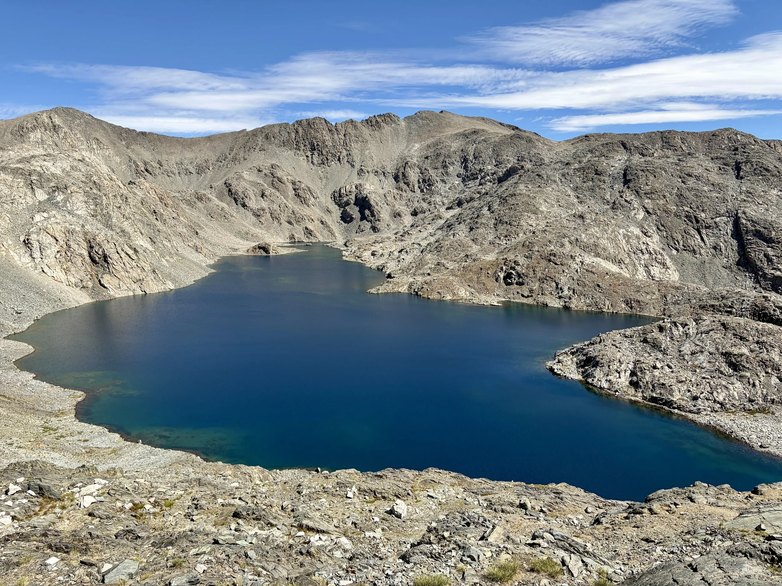
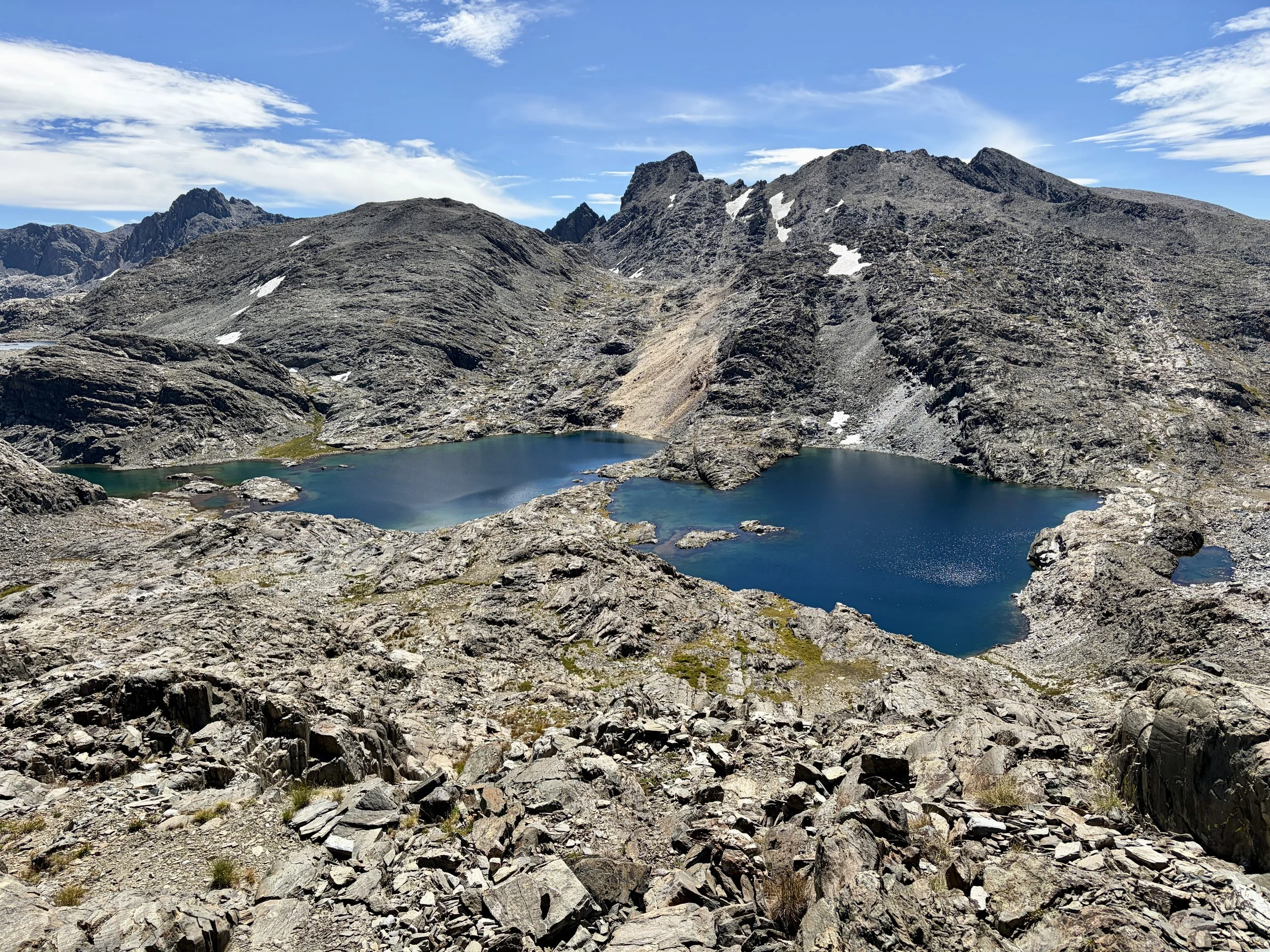
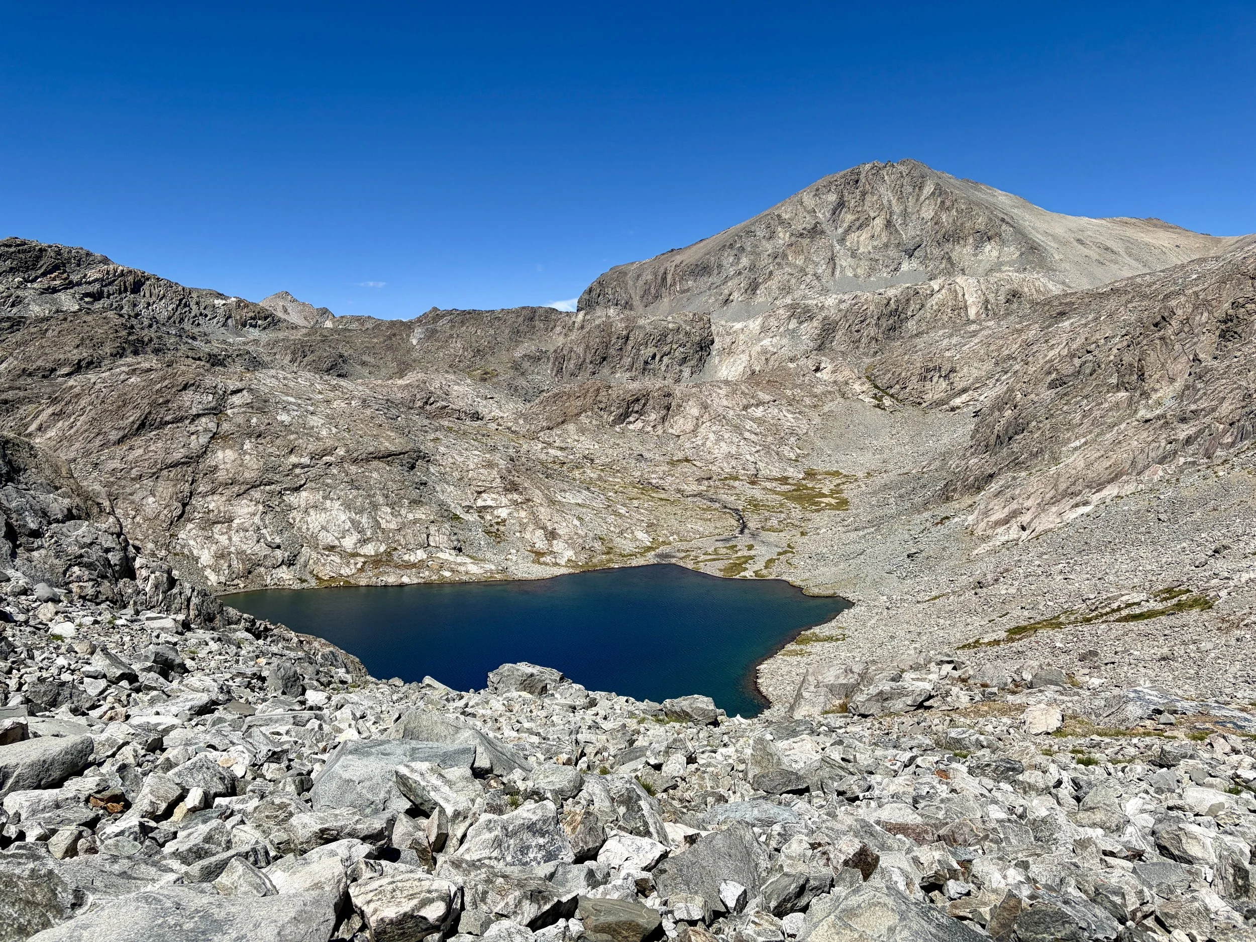
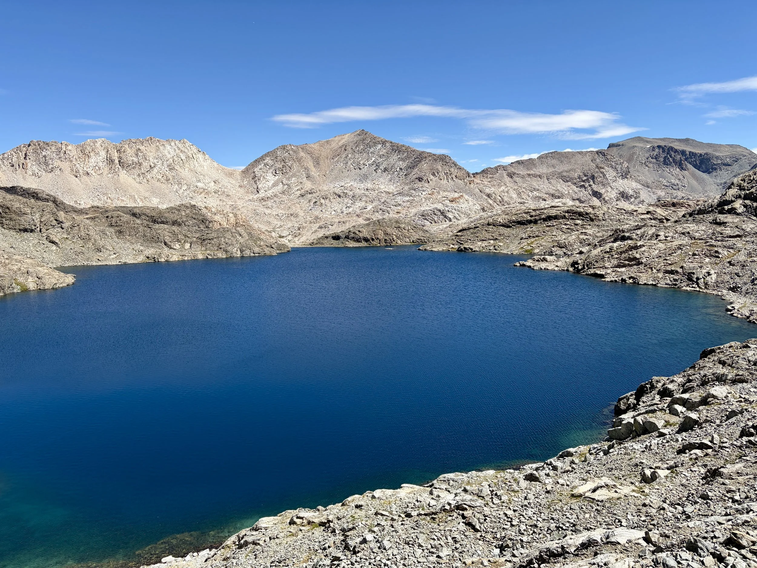
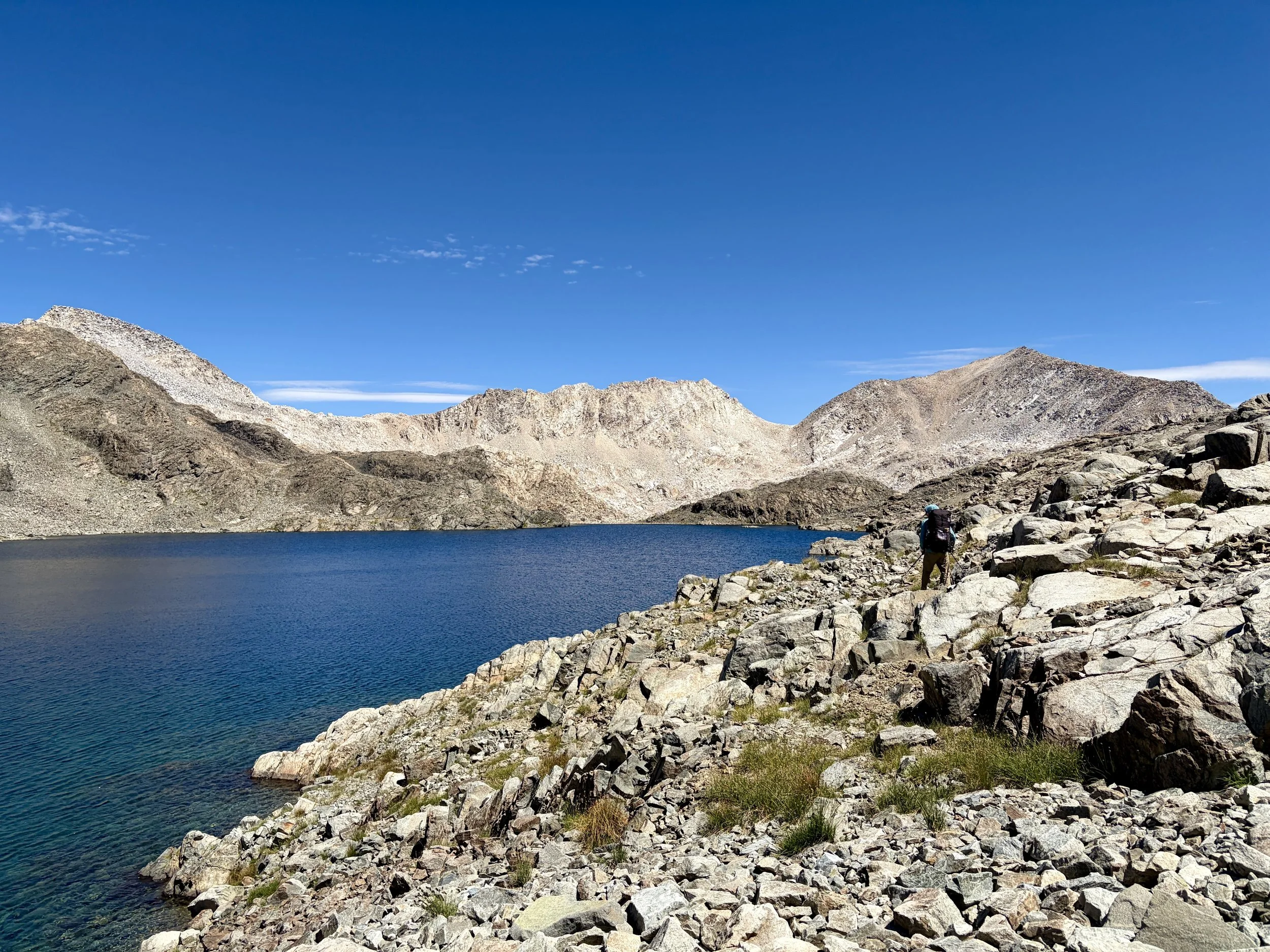
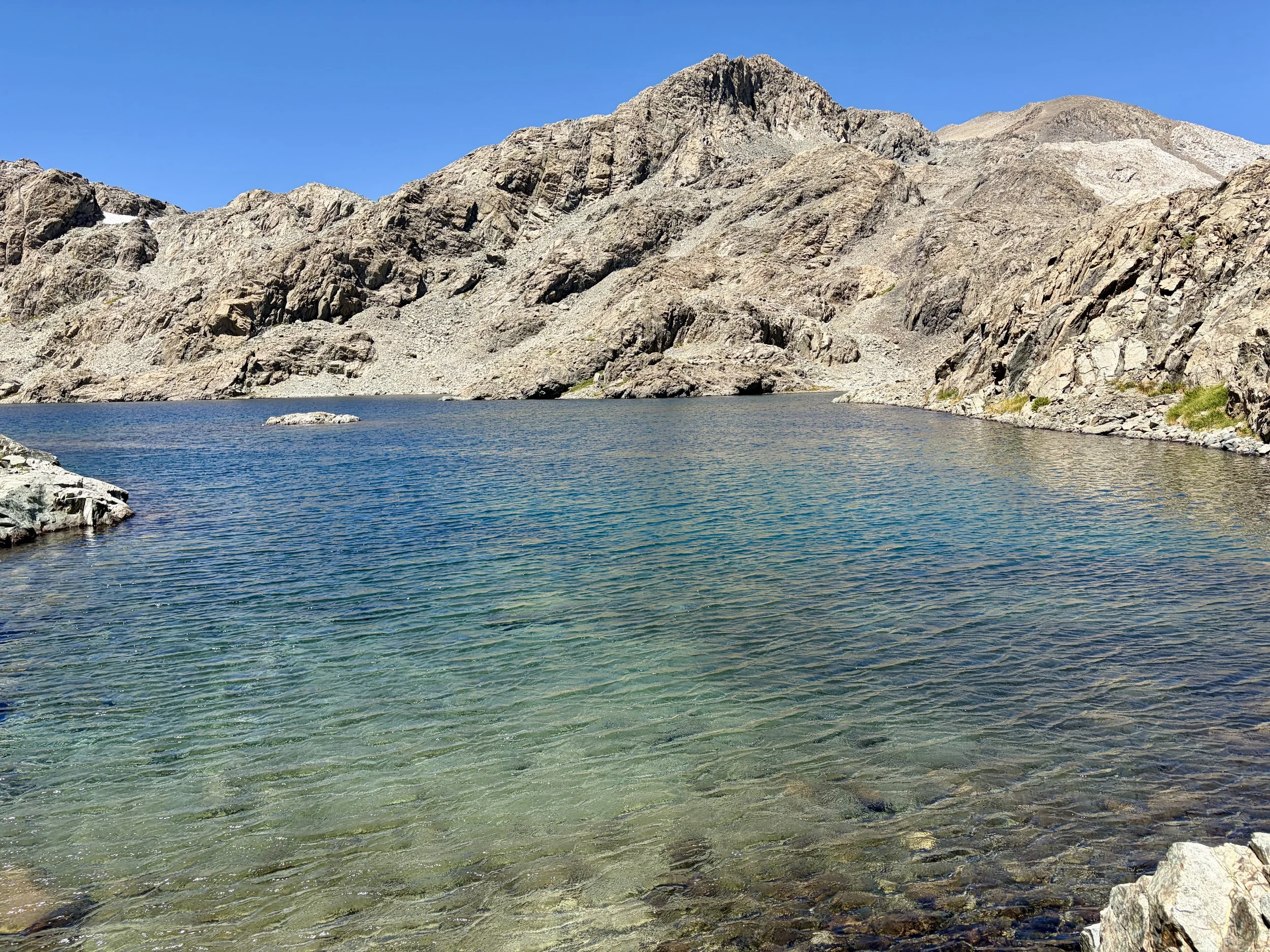
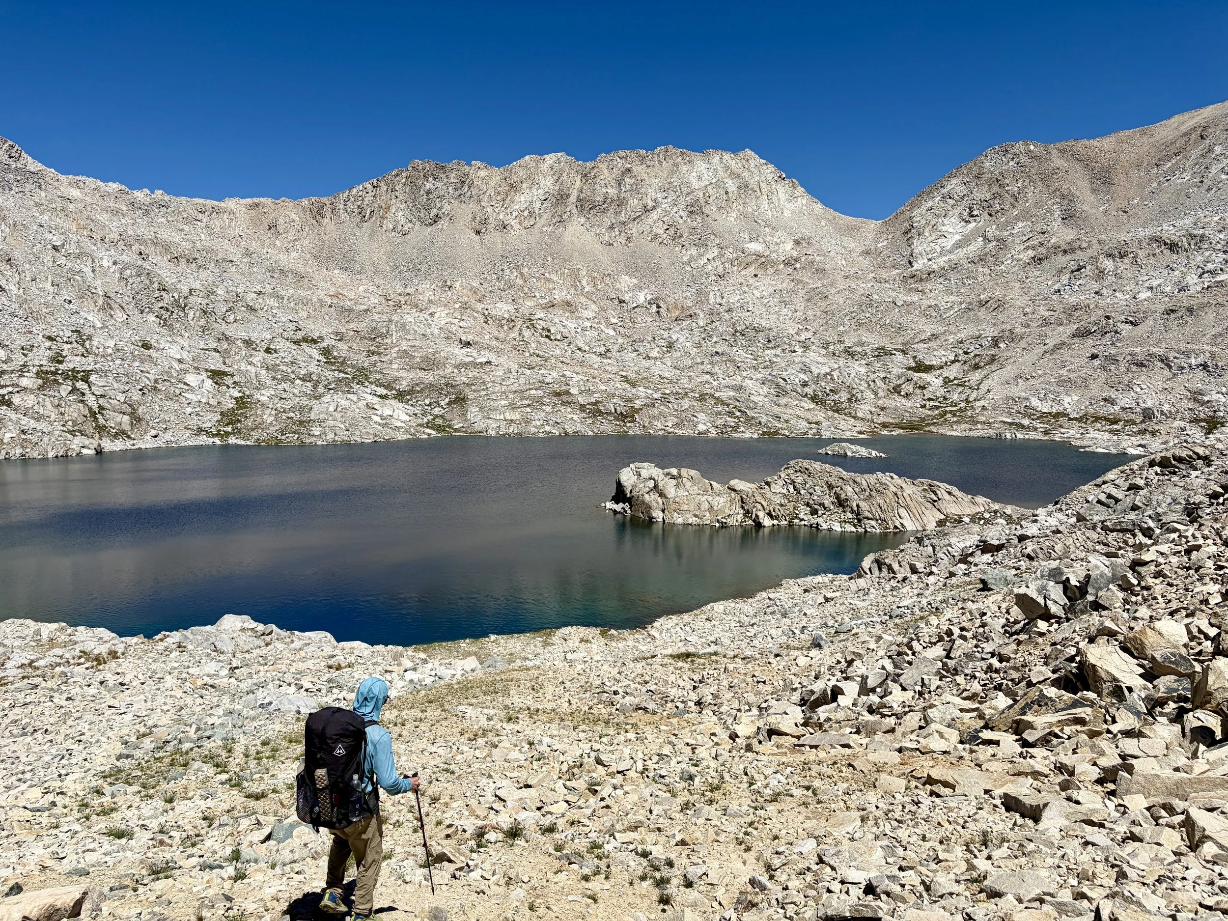
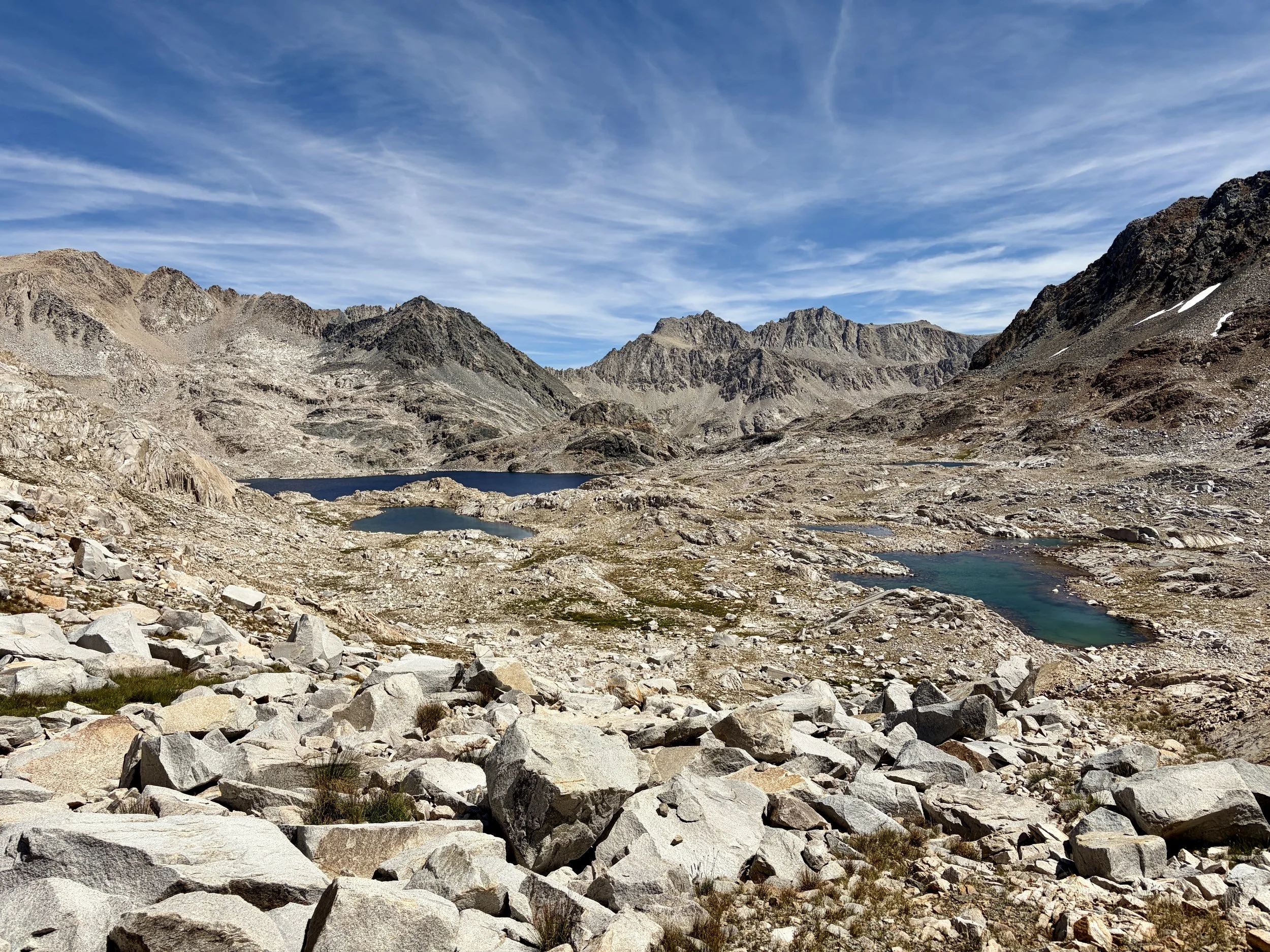
We continued our Ionian Basin tour this morning and headed east past many beautiful lakes, while taking in the view of the imposing Charybdis to our south. As we were ascending the gully to the west of Lake 11,835, we ran into two women who were heading the opposite direction. They asked us for some info about where we had come from, and we each continued on our way. They were the first people we had seen since the two women we saw near the top of Martha Goddard Pass. We stopped for a morning snack by Lake 11,385 and discussed summiting Black Giant, but again we were deterred by the amount of scree it involved. So instead, we just headed over Black Giant Pass and dropped down to the lake just north of it. I really enjoyed the views of Helen Lake as we came down the other side of the pass.
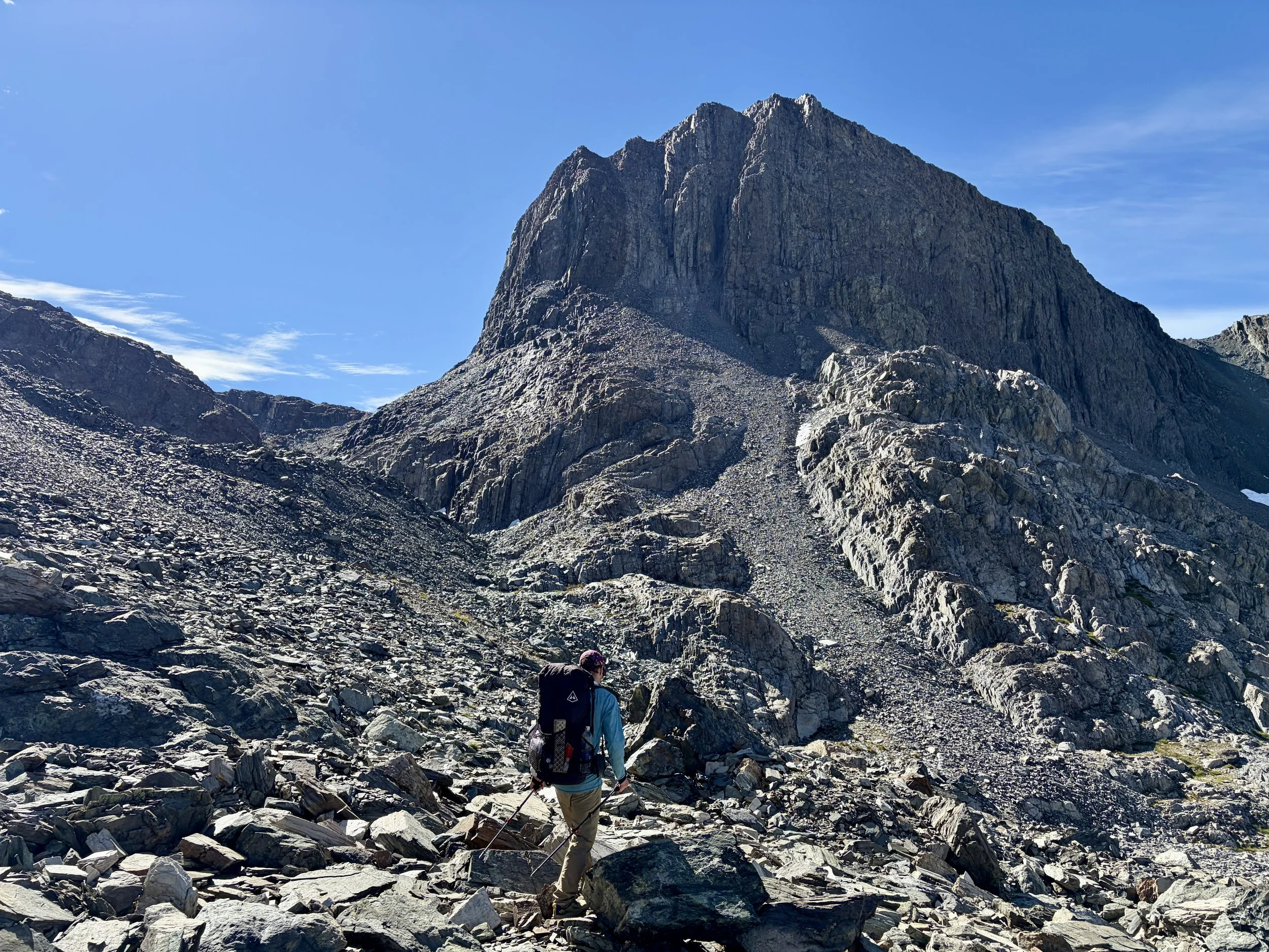
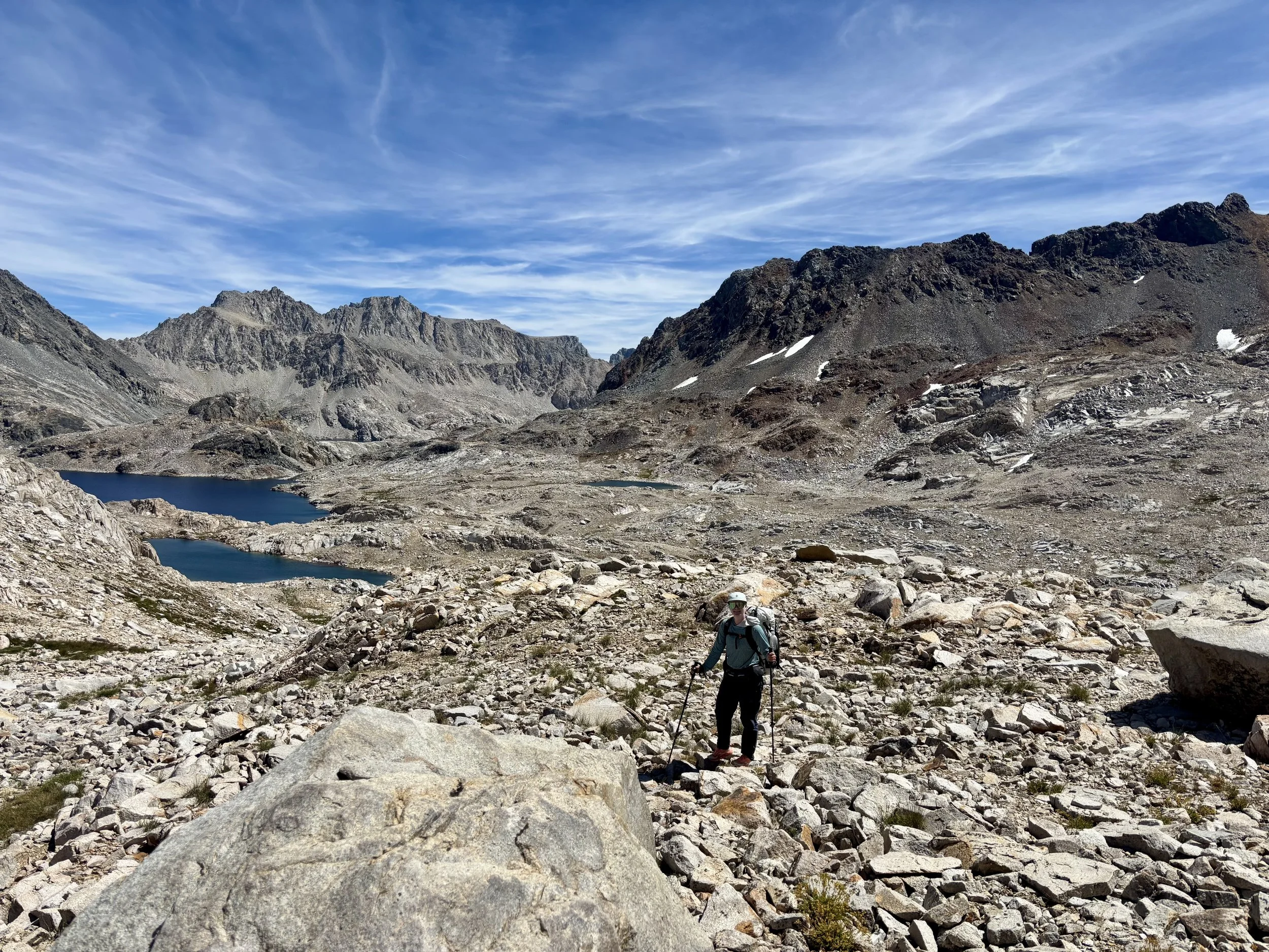
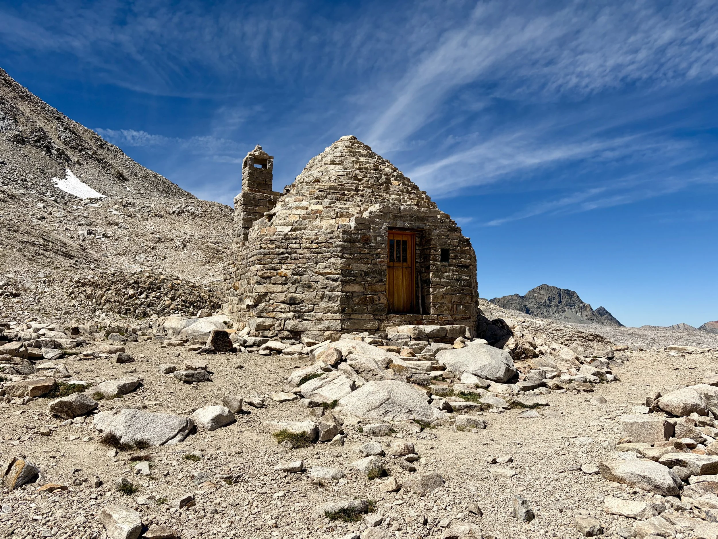
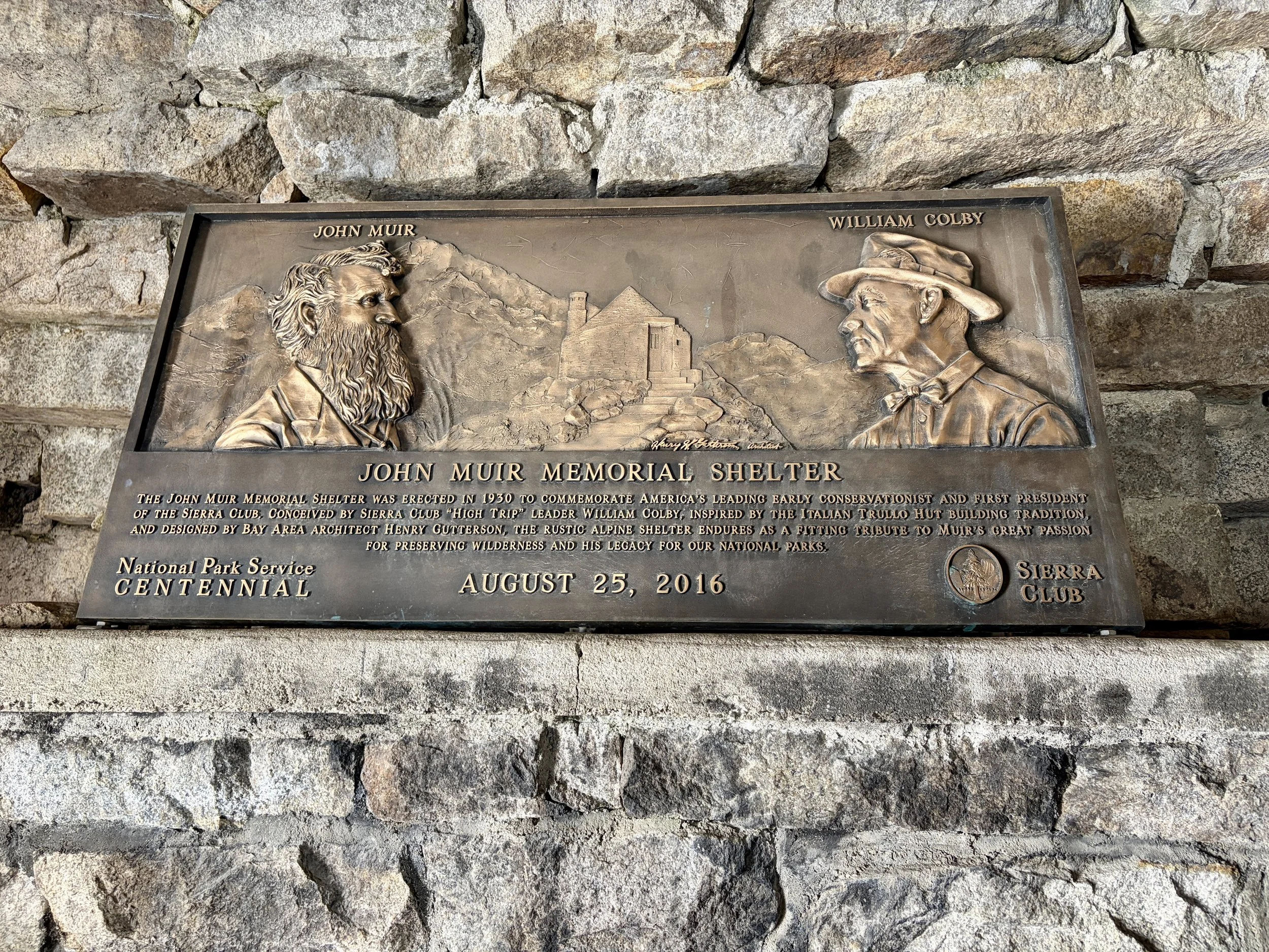
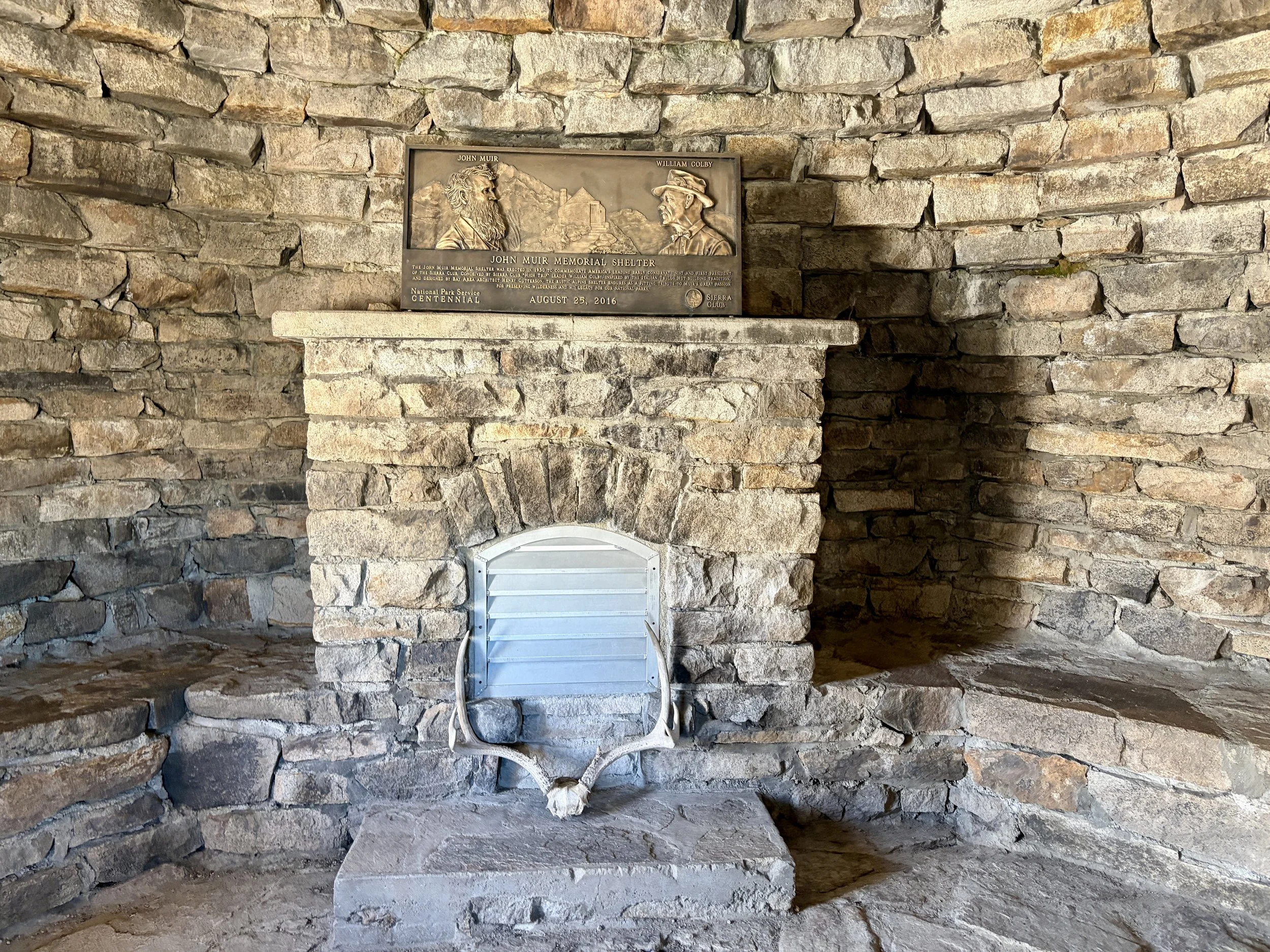
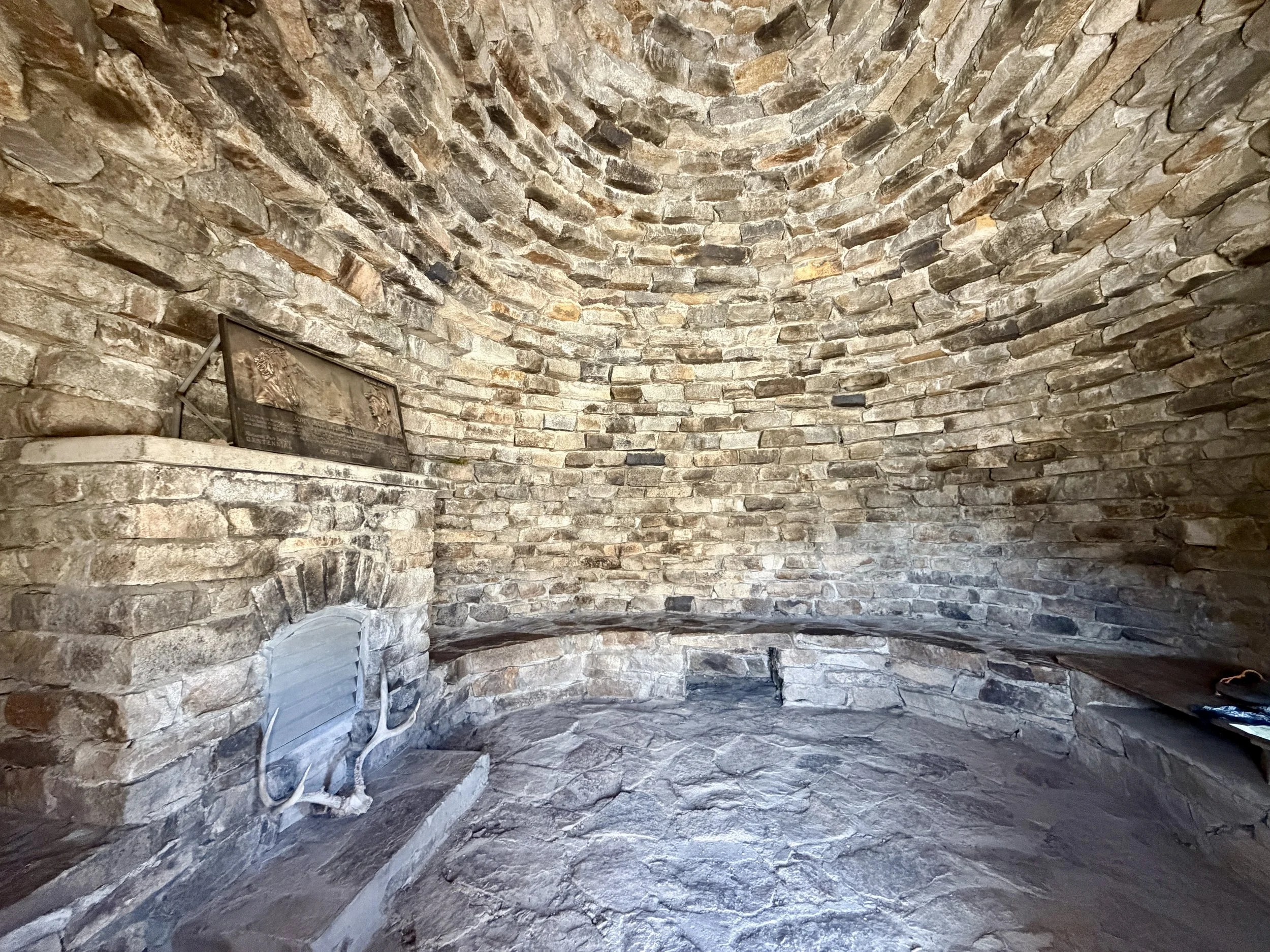
We contoured to the pass the John Muir Memorial Shelter is on and went inside the shelter to take a look. It was a very impressive structure! After taking a look around, we hopped on the PCT/JMT and started walking west toward Lake McDermand and Wanda Lake. Our plan that night was to set up camp near Sapphire Lake. However, when we got the area we were looking to camp, there was a sign about it being “closed” for a crew of National Park Service employees to use. This meant we needed to find a different spot to camp. Our plan for the following day was to go over Haeckel Col so we decided to head off trail to find a spot to camp on the bench between Mount Huxley and Mount Spencer, hoping that there would be an acceptable area to set up a tent. We had no idea if it would just be one big scree field with no tent sites or if it would be a great place to camp. Thankfully, there were abundant spots to set up a tent so we picked one with some nice protection from the wind and hopped in to the closest lake. We didn’t see anyone else in this drainage that night. We spent much of the evening looking at Haeckel Col, and wondering where exactly the way up and over it would be as it looked very intimidating from afar.
Day 4 Stats: 7.54 miles, +2231 ft of elevation gain, -1865 ft of elevation loss
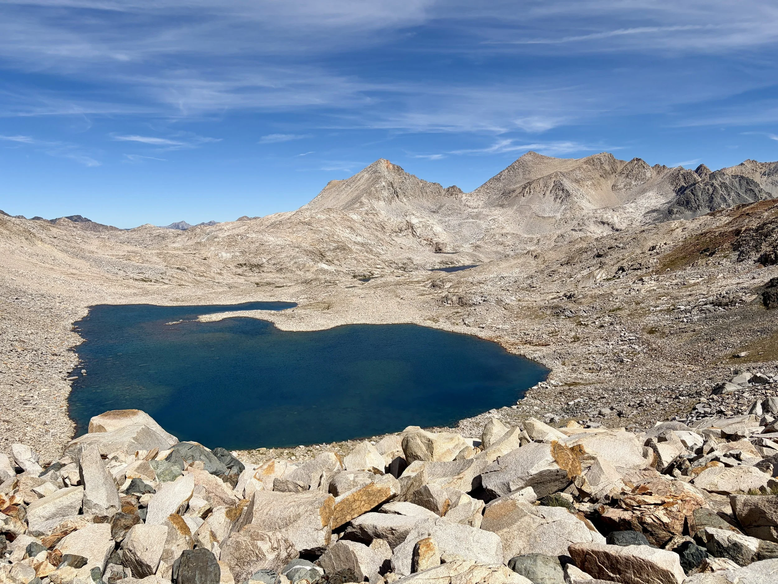
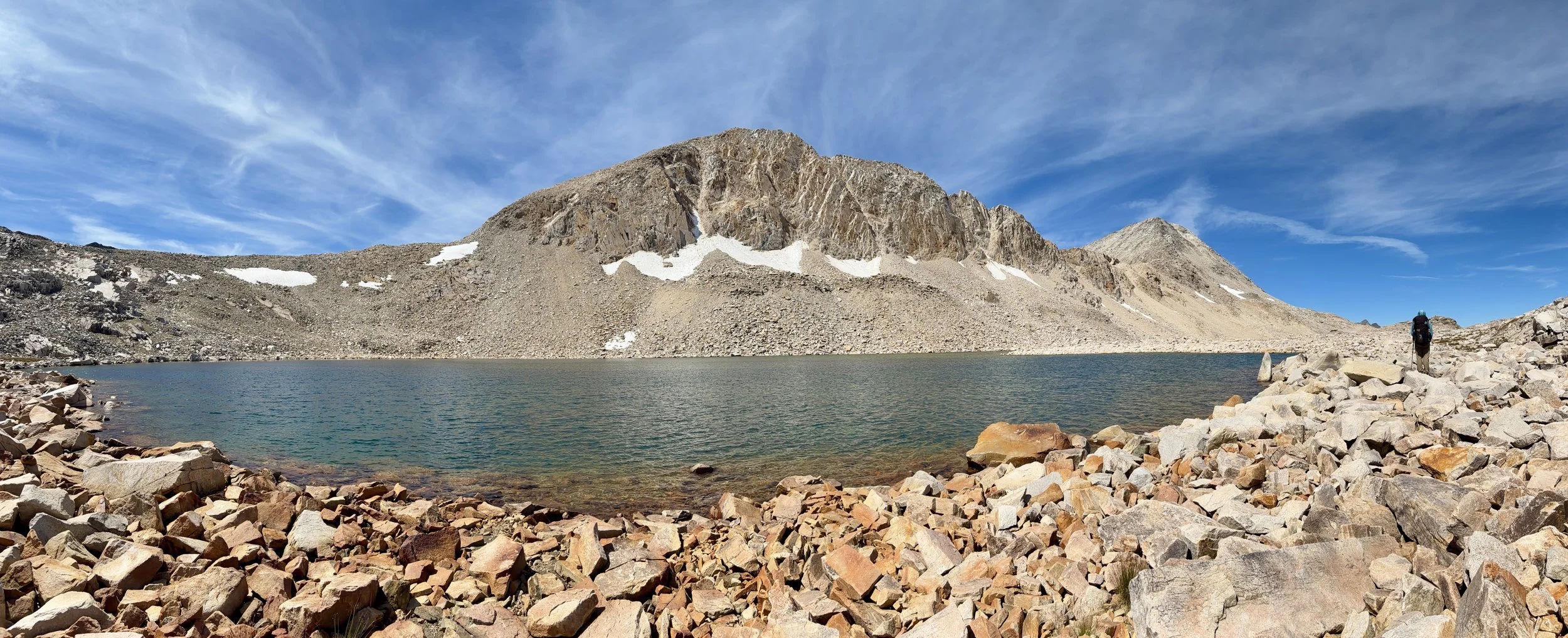
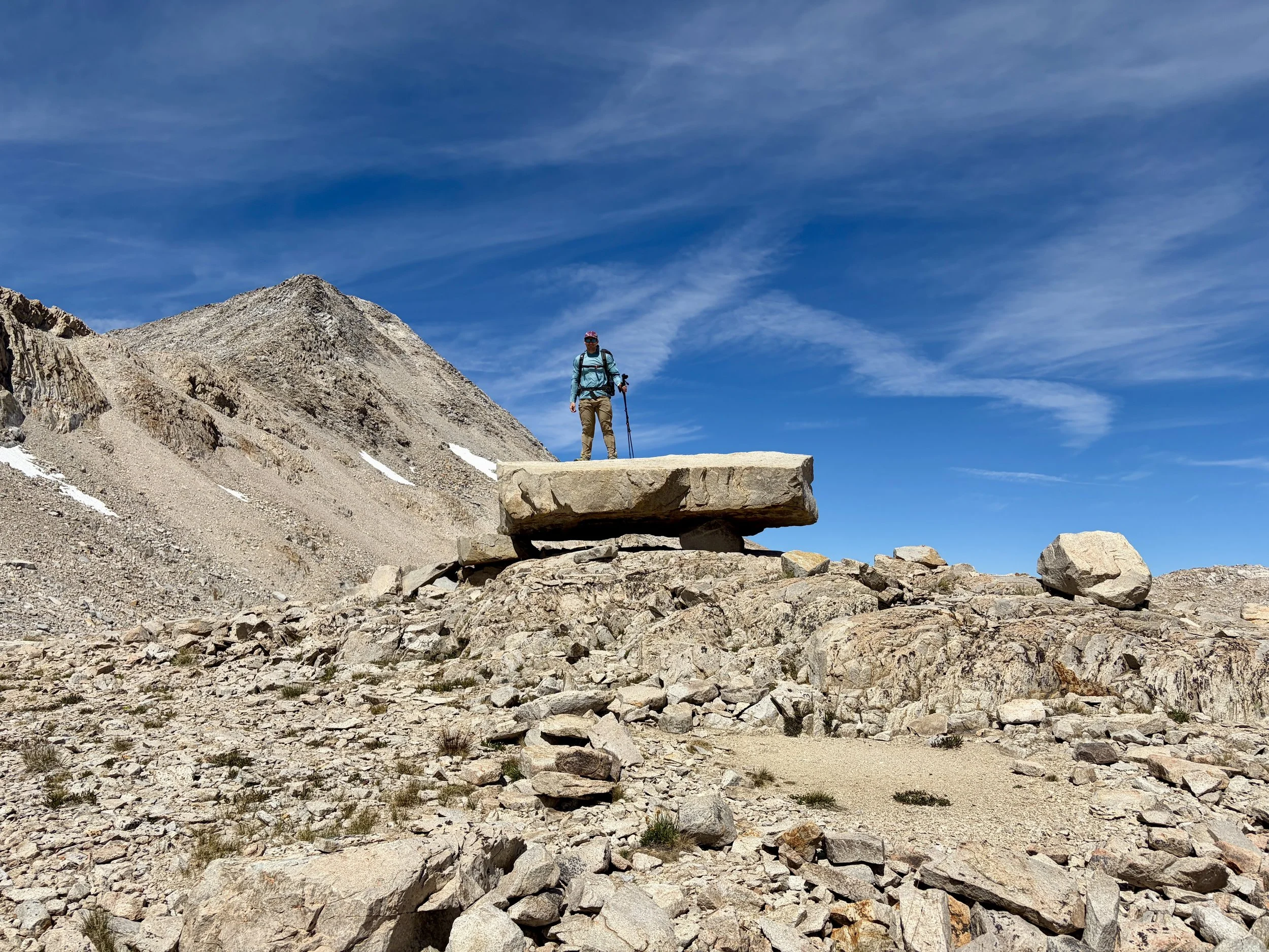
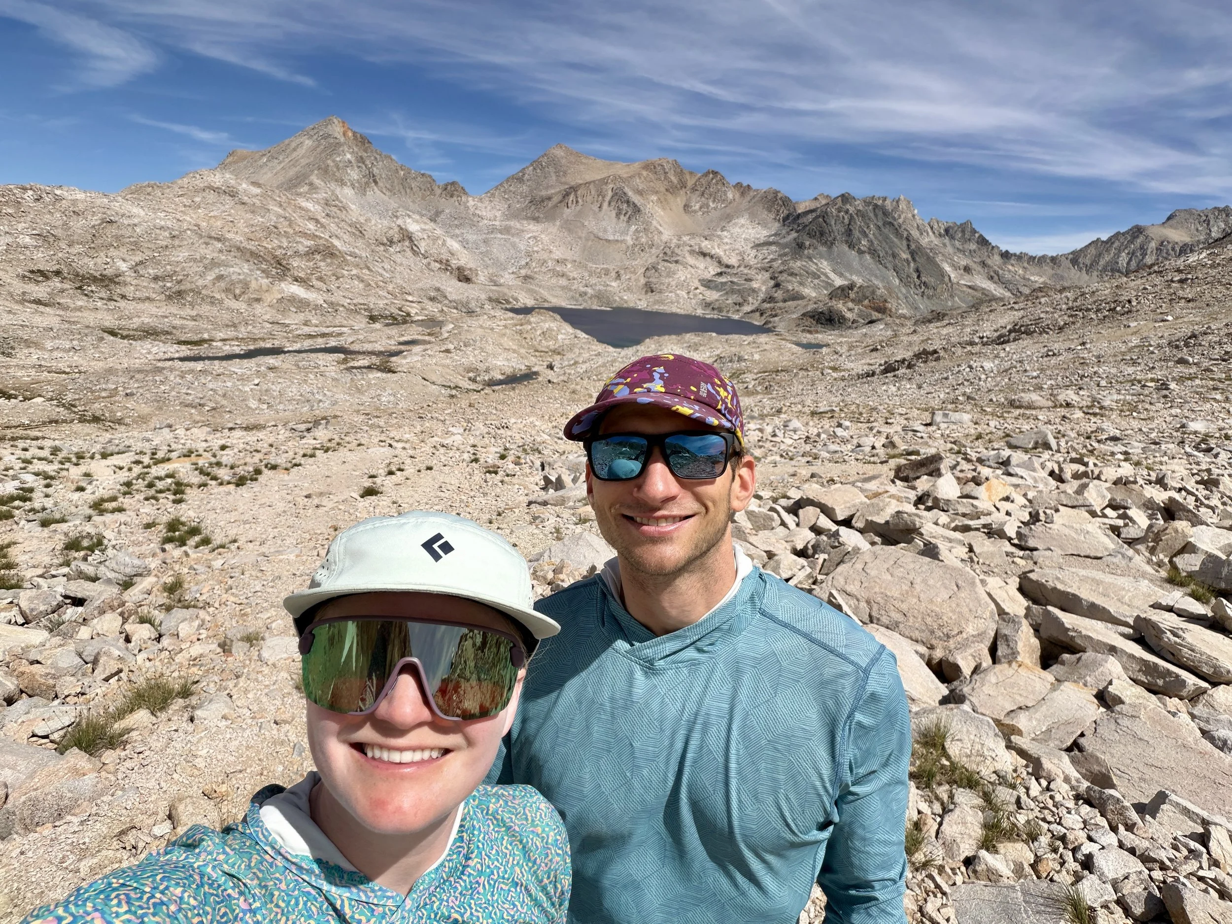
Day 5
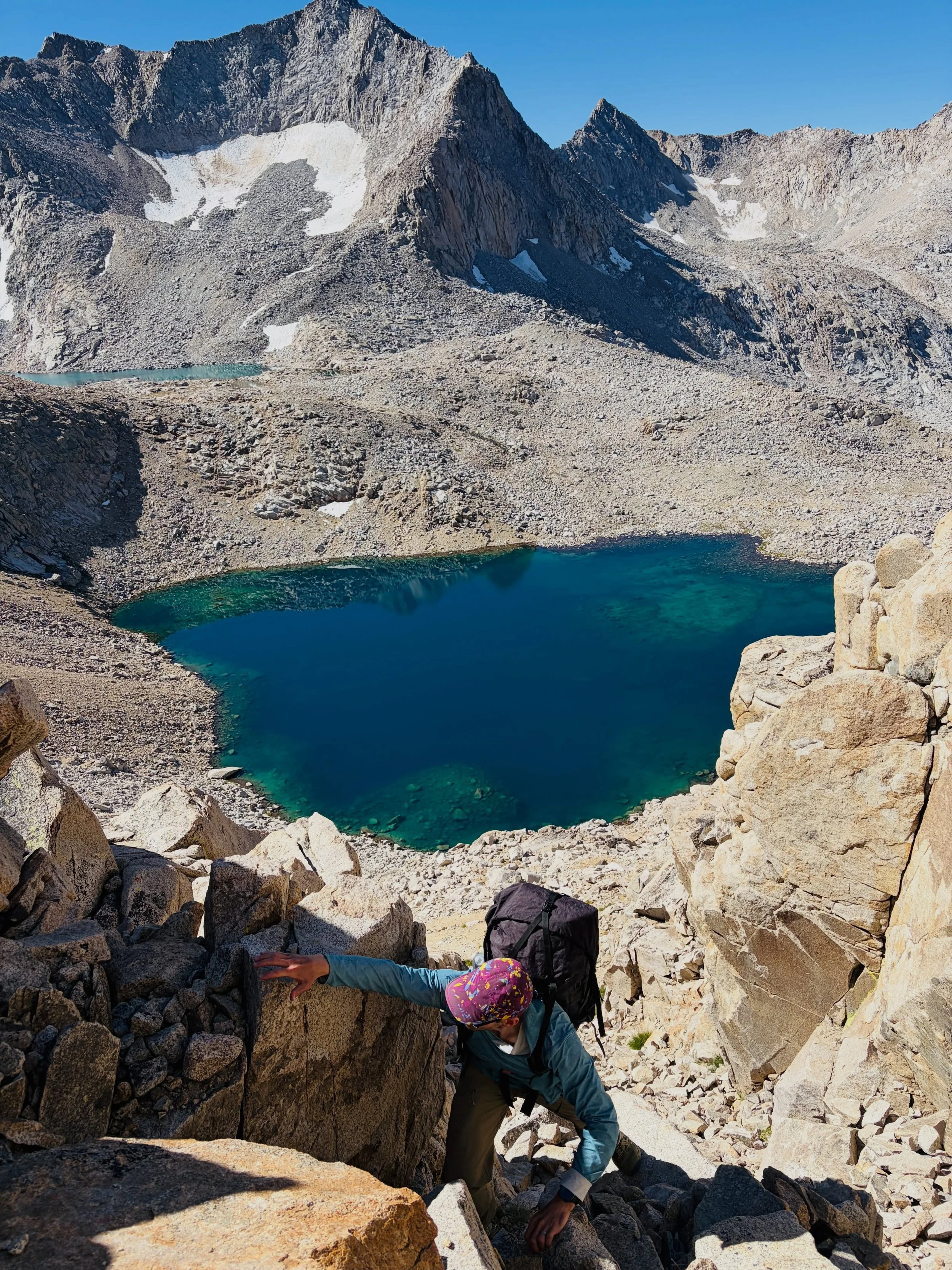
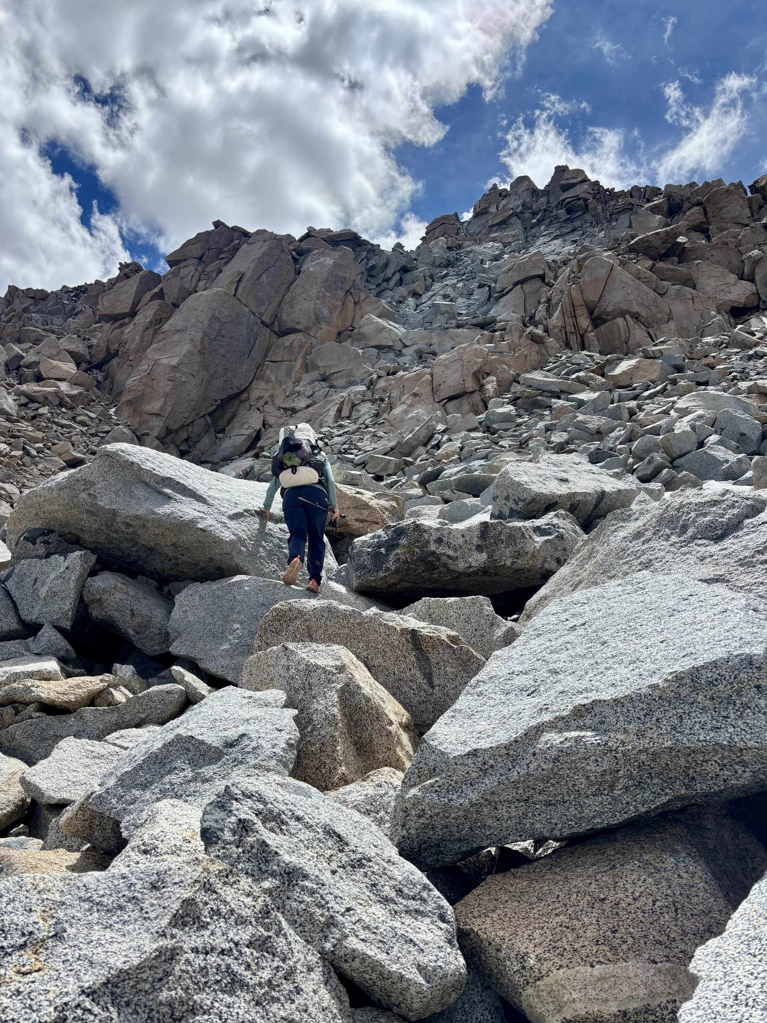
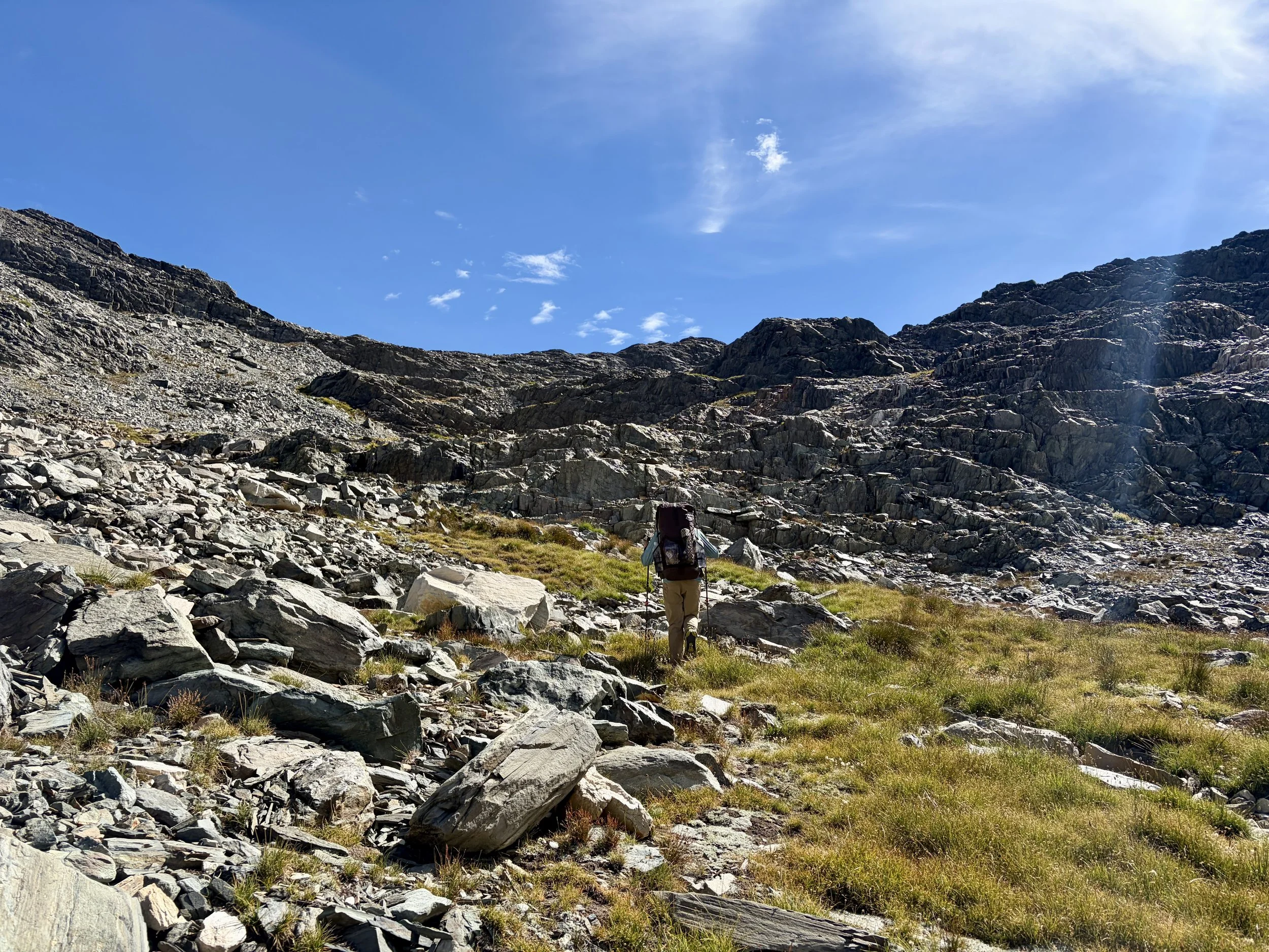
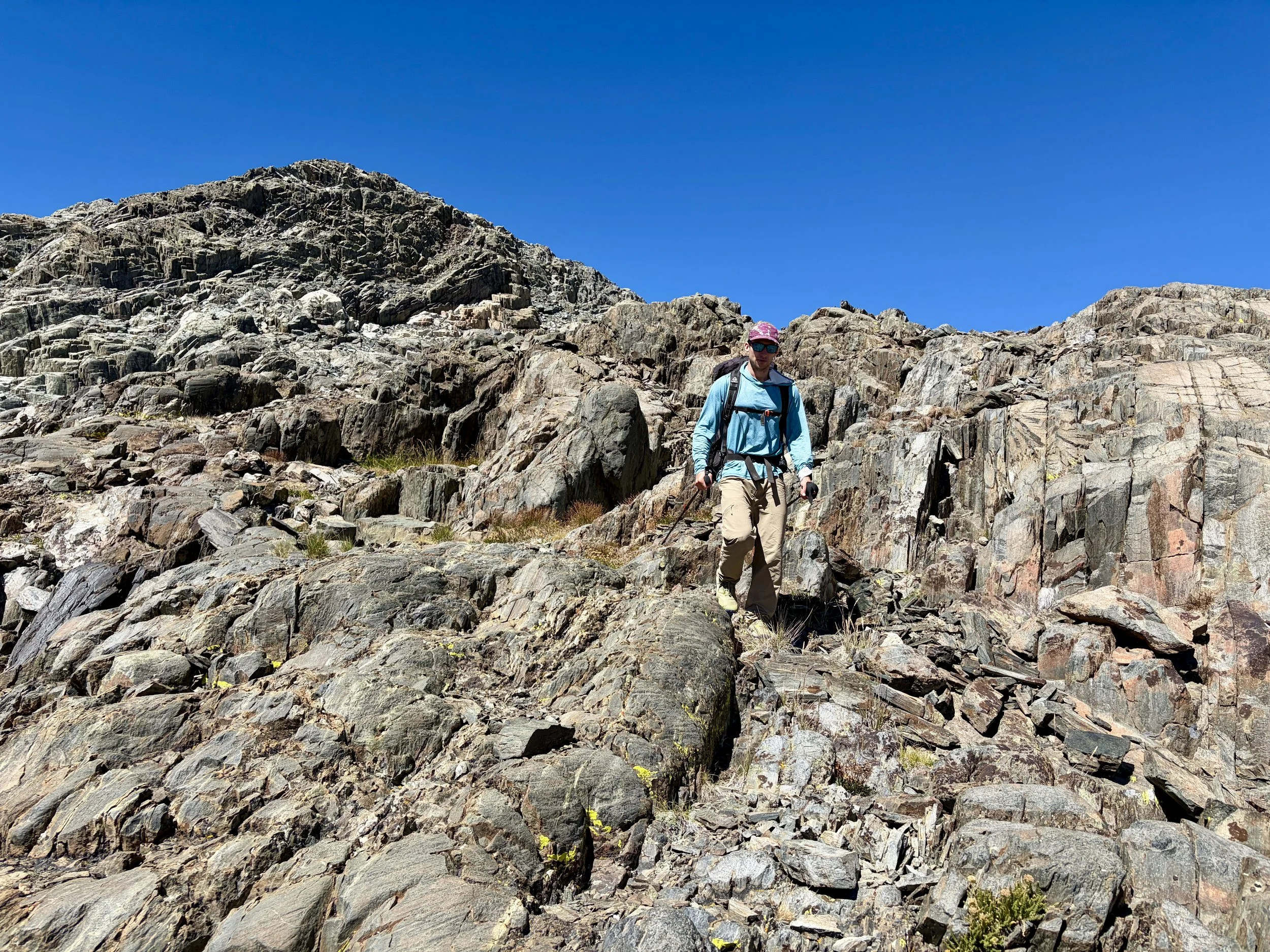
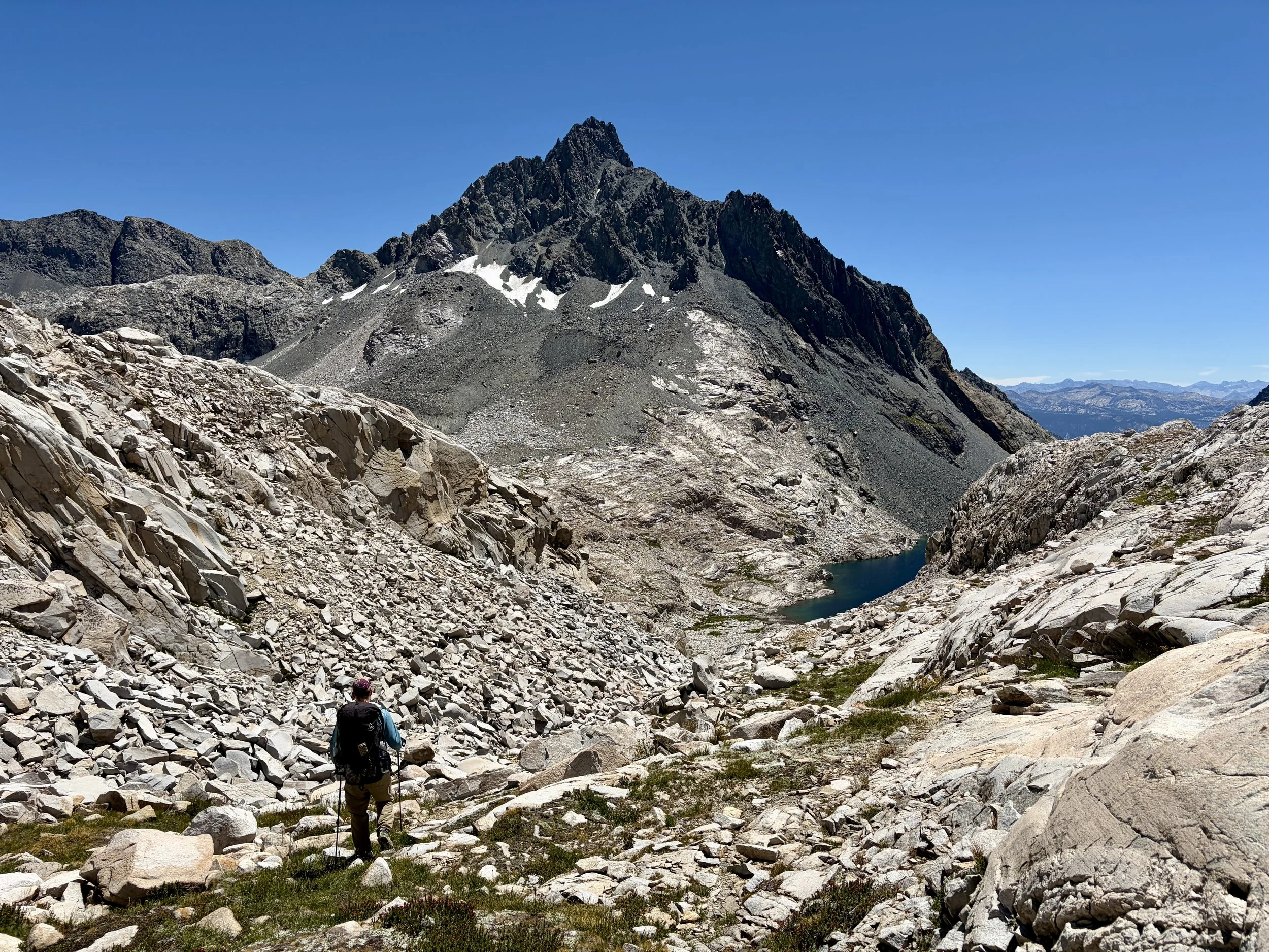
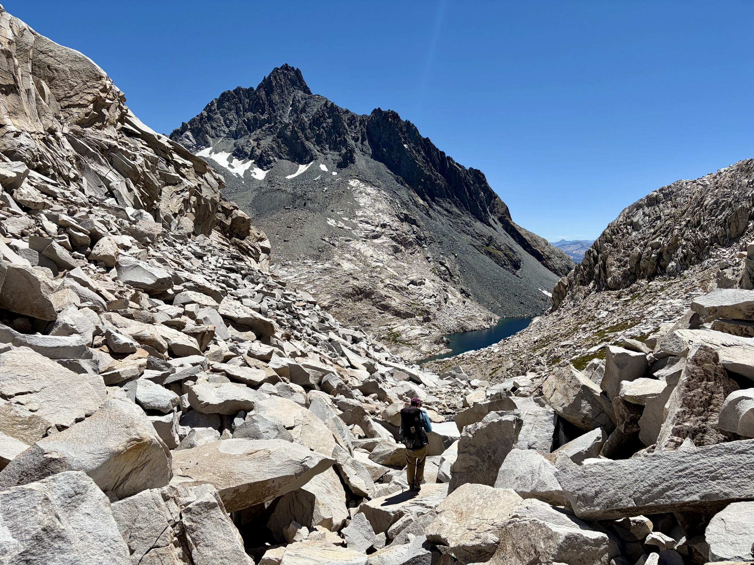
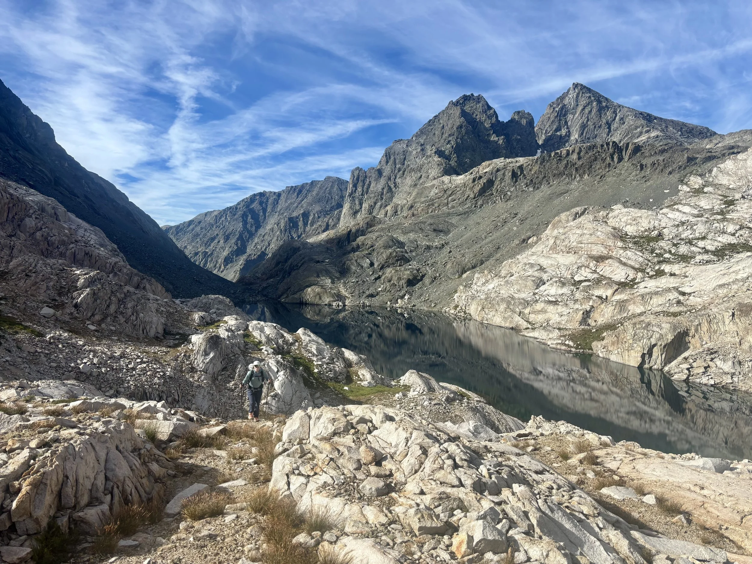
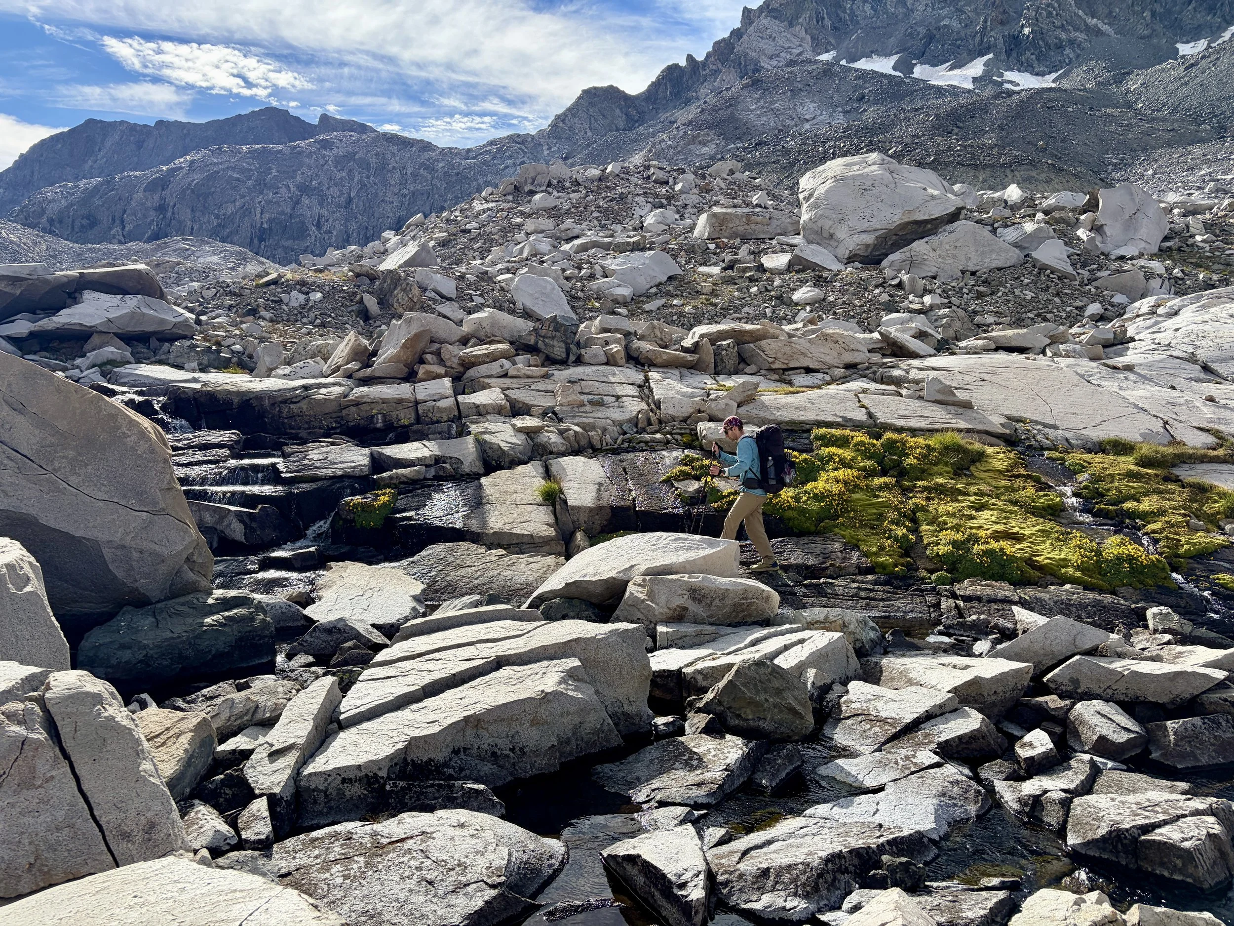
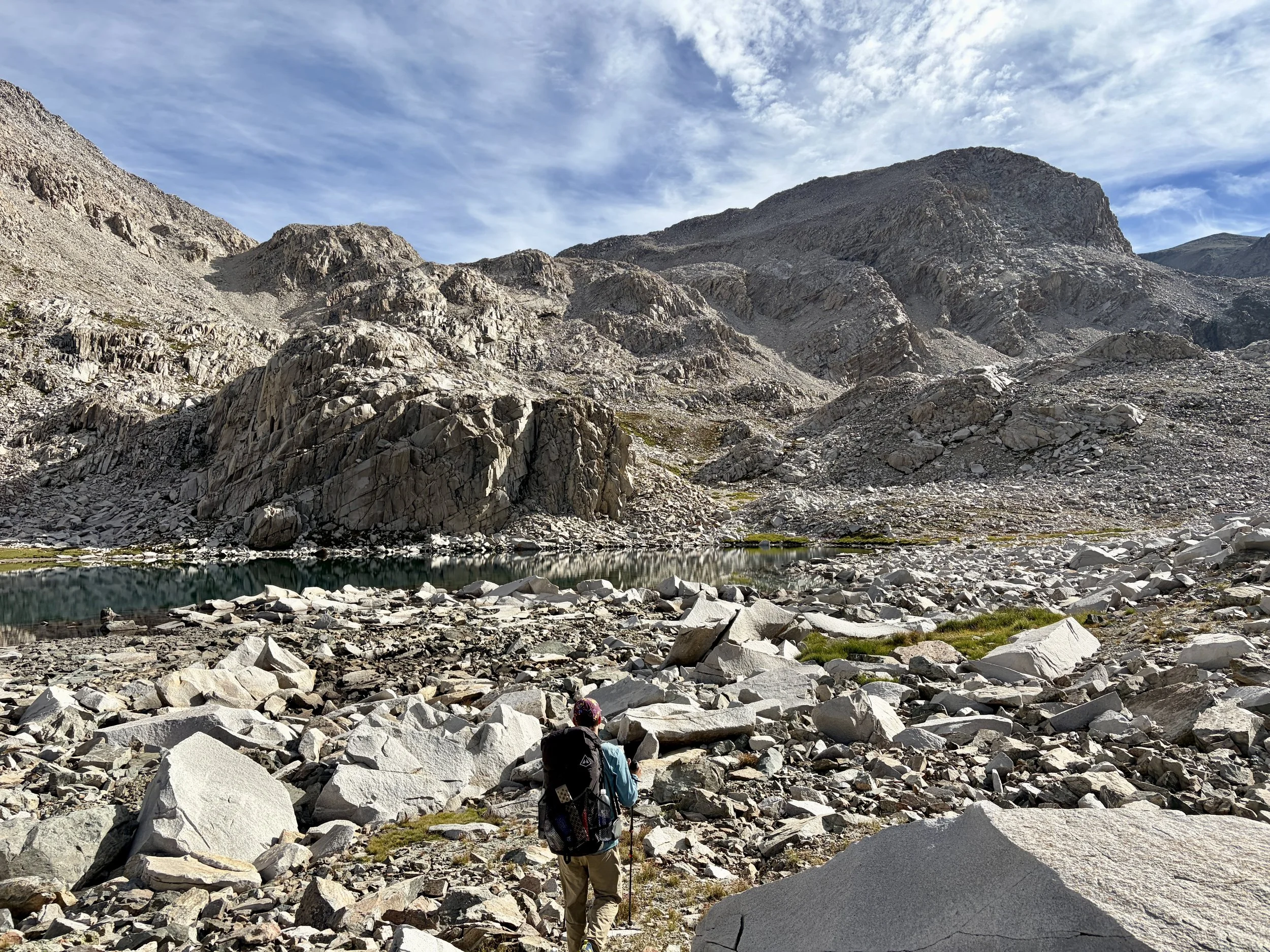
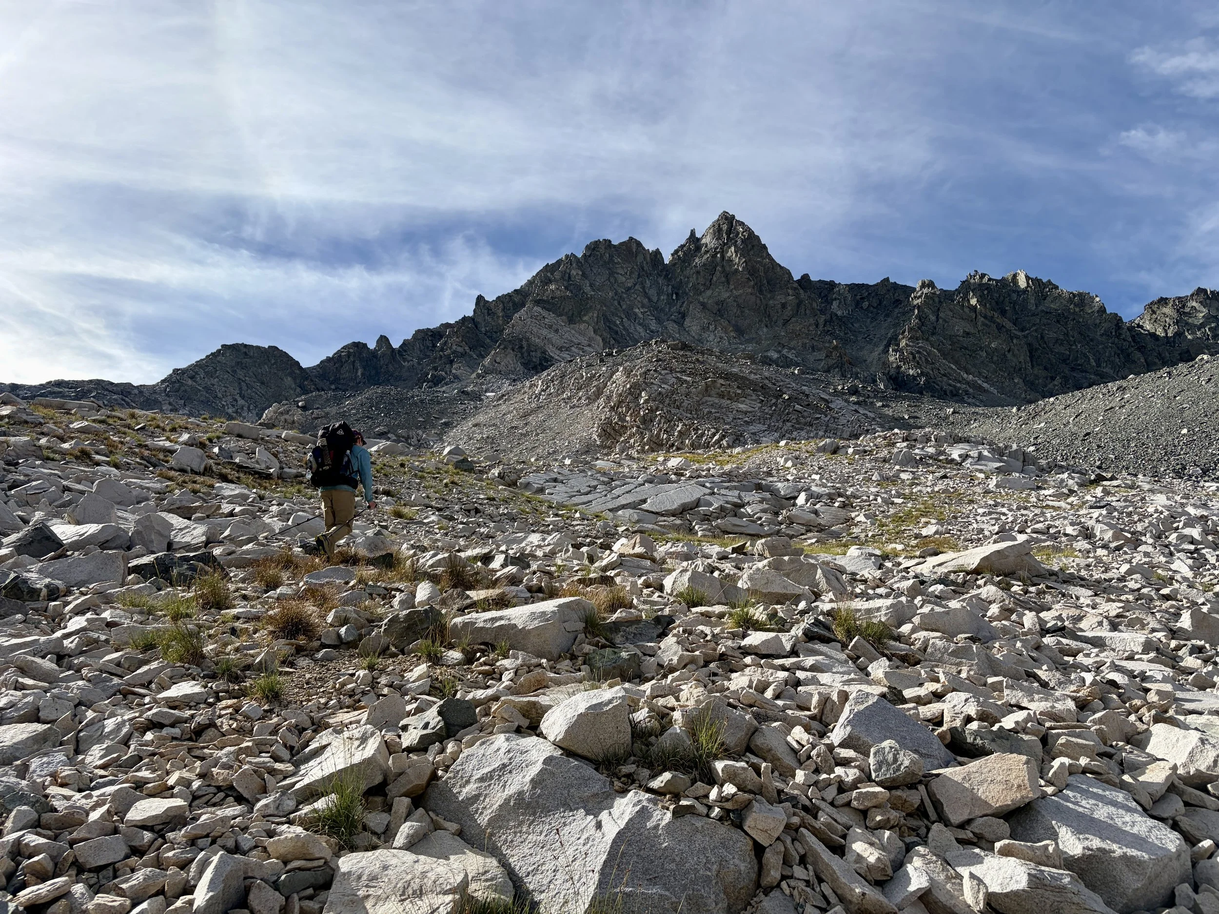
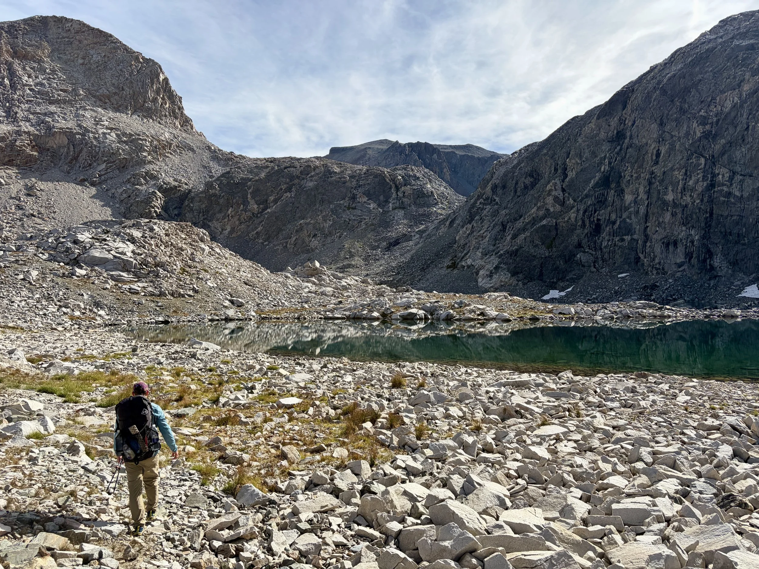
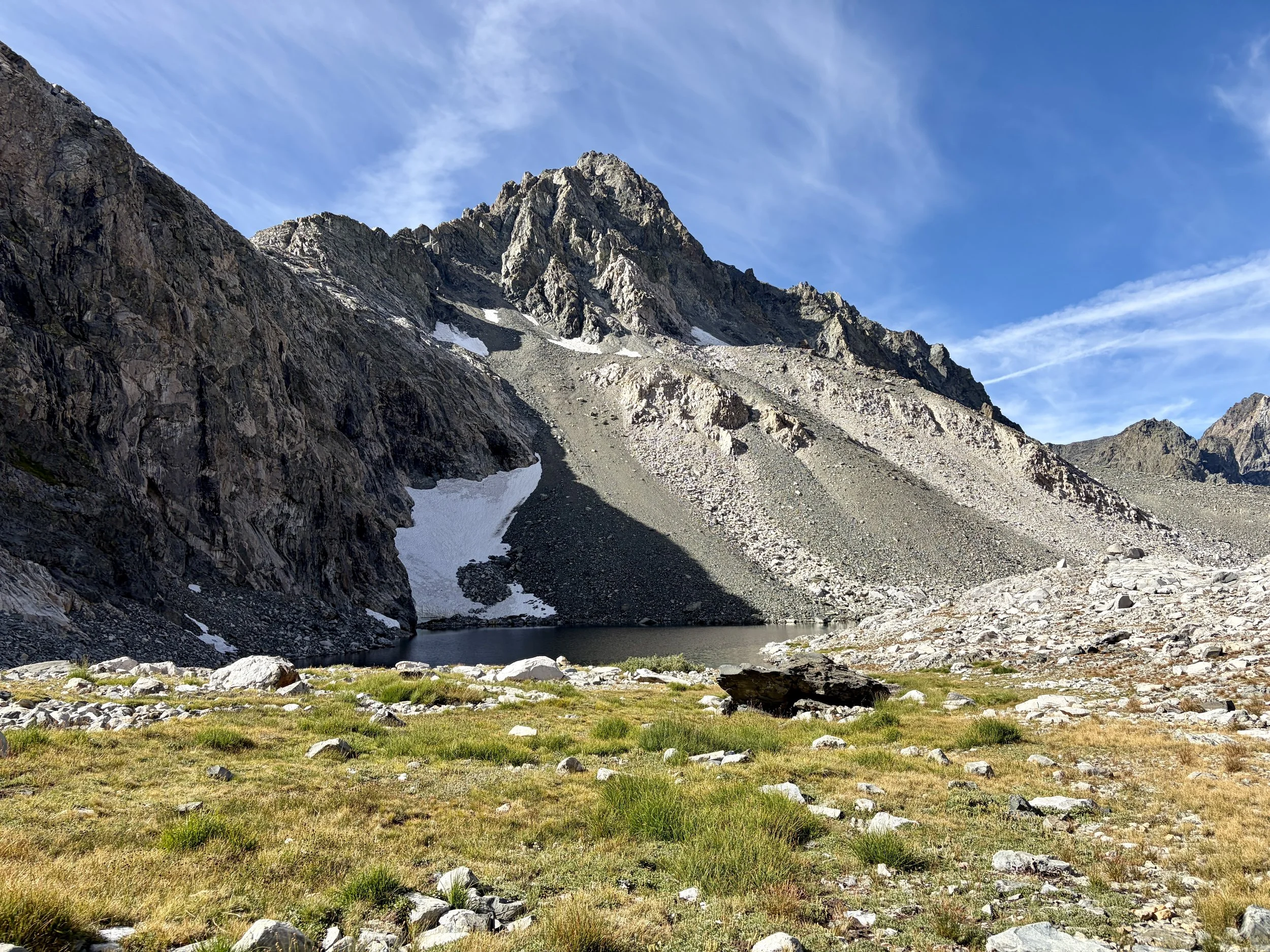
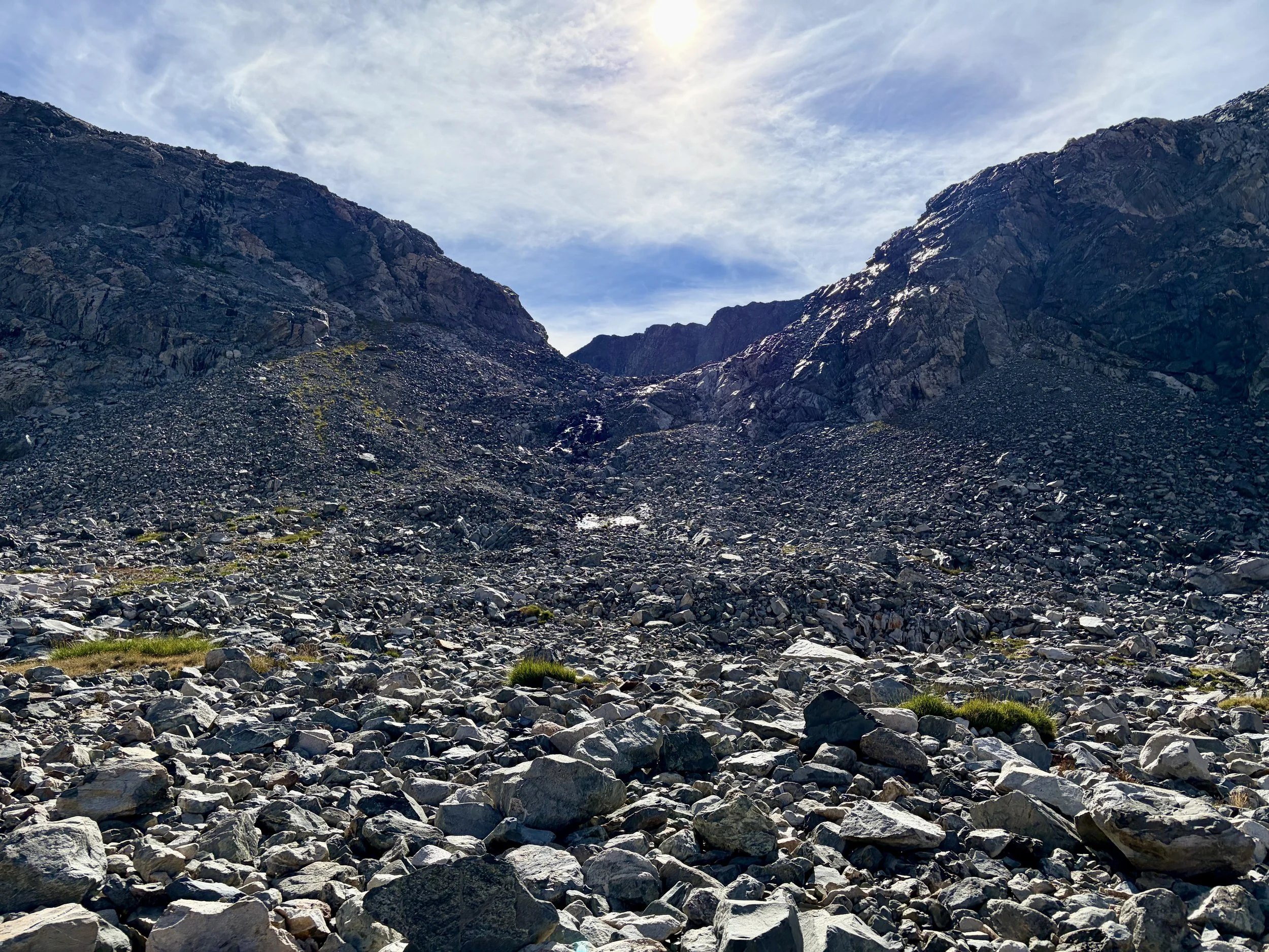
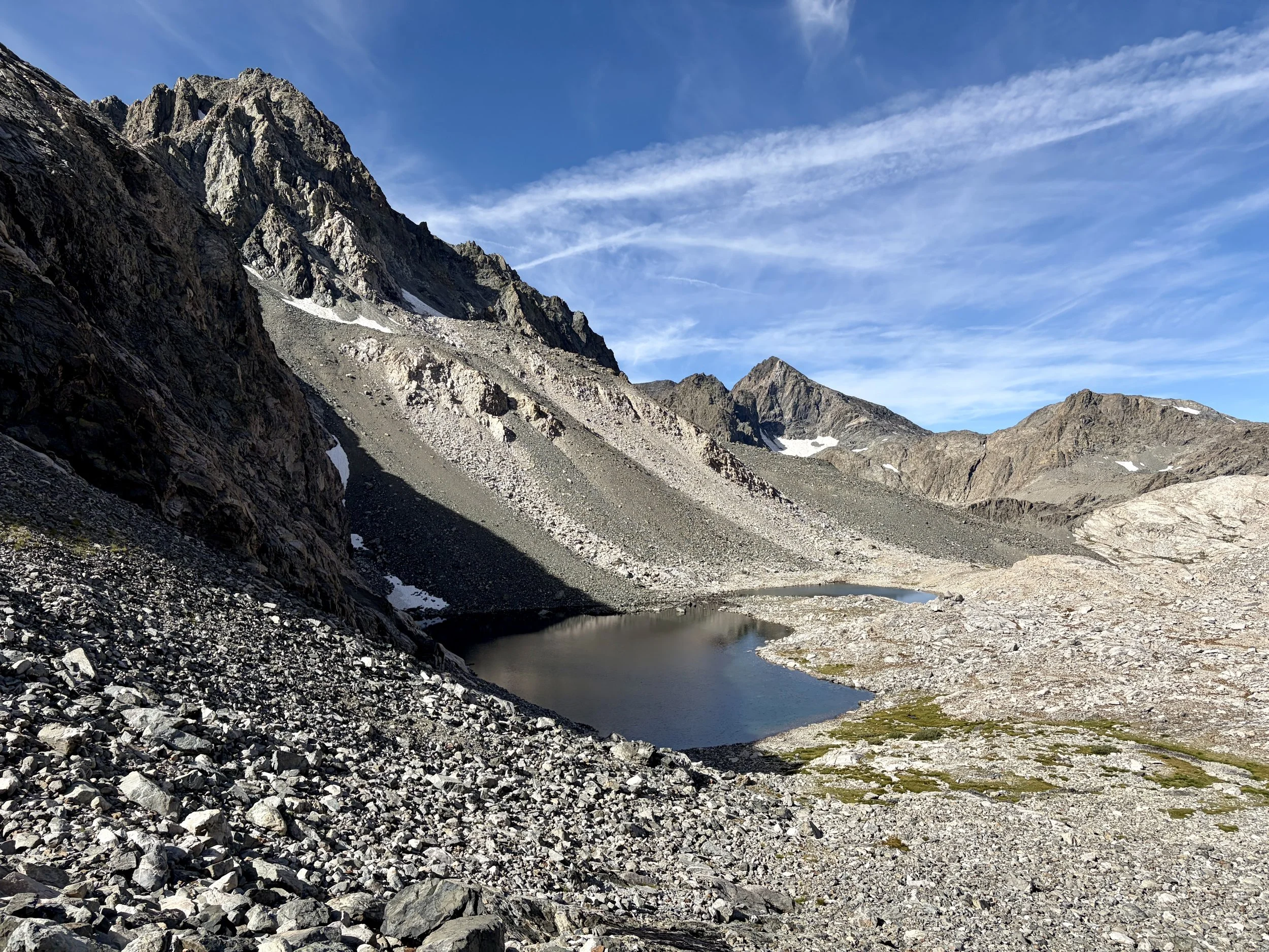
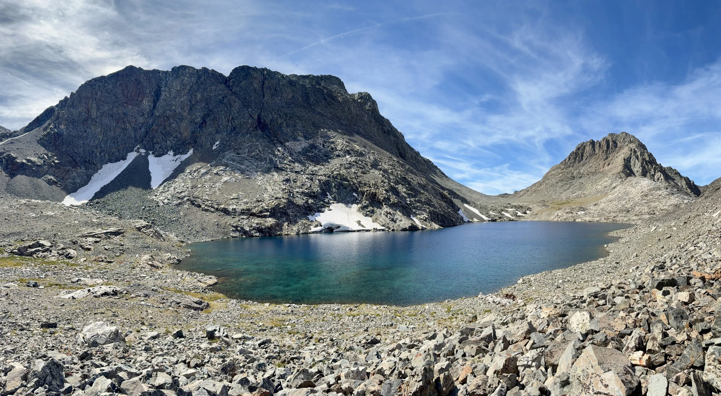
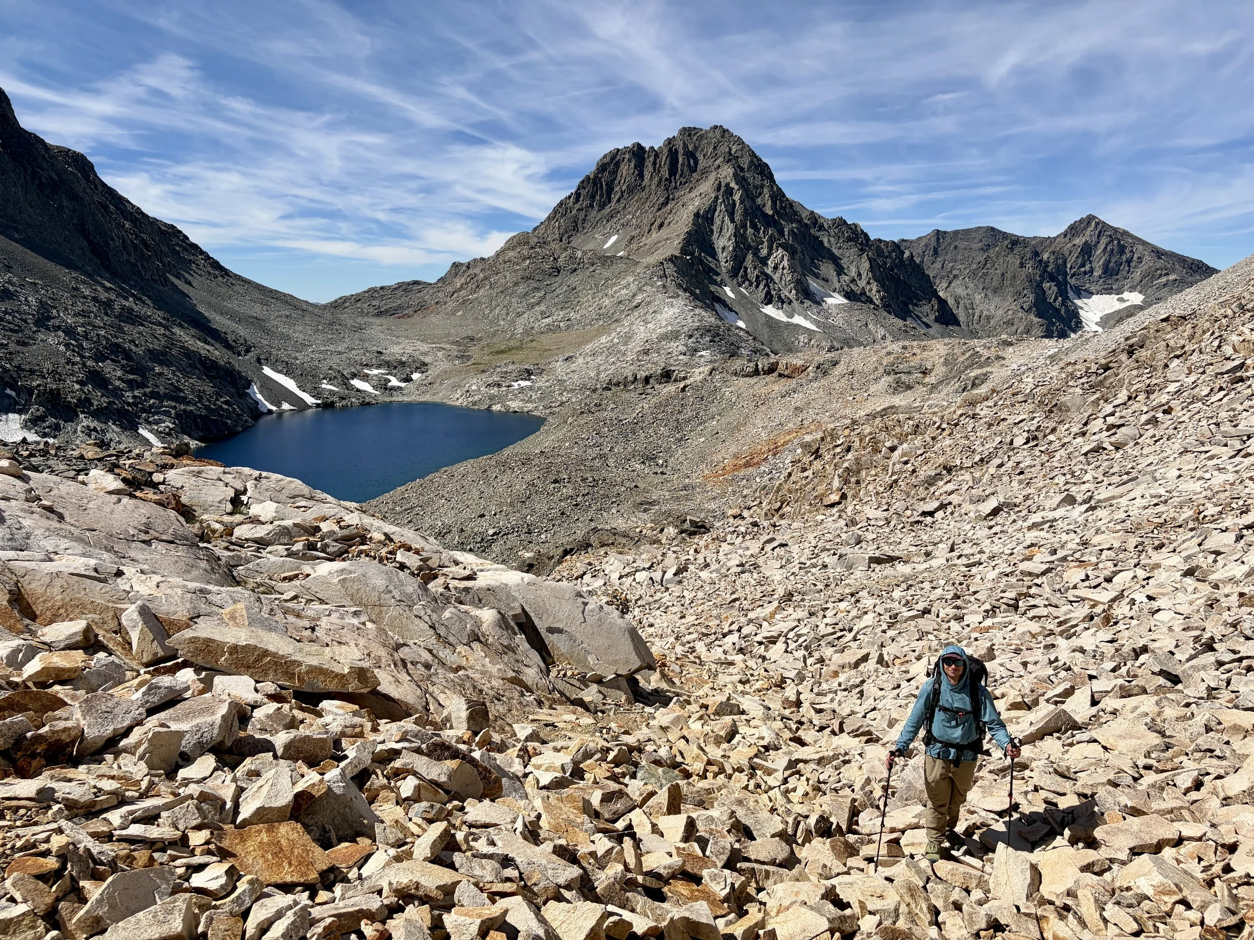
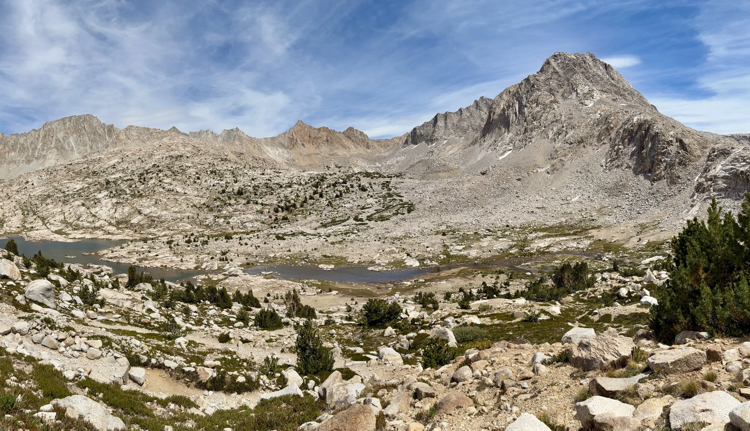
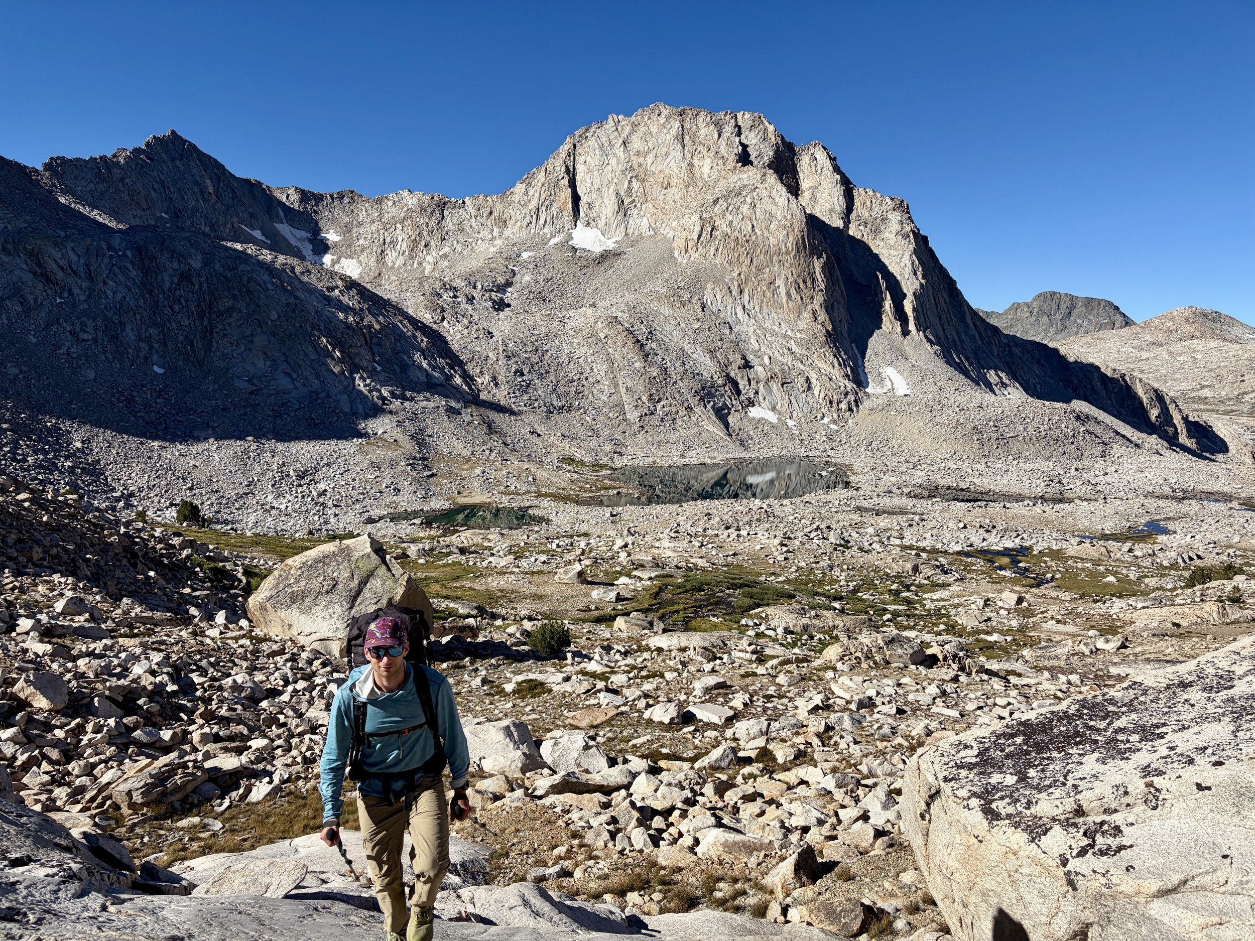
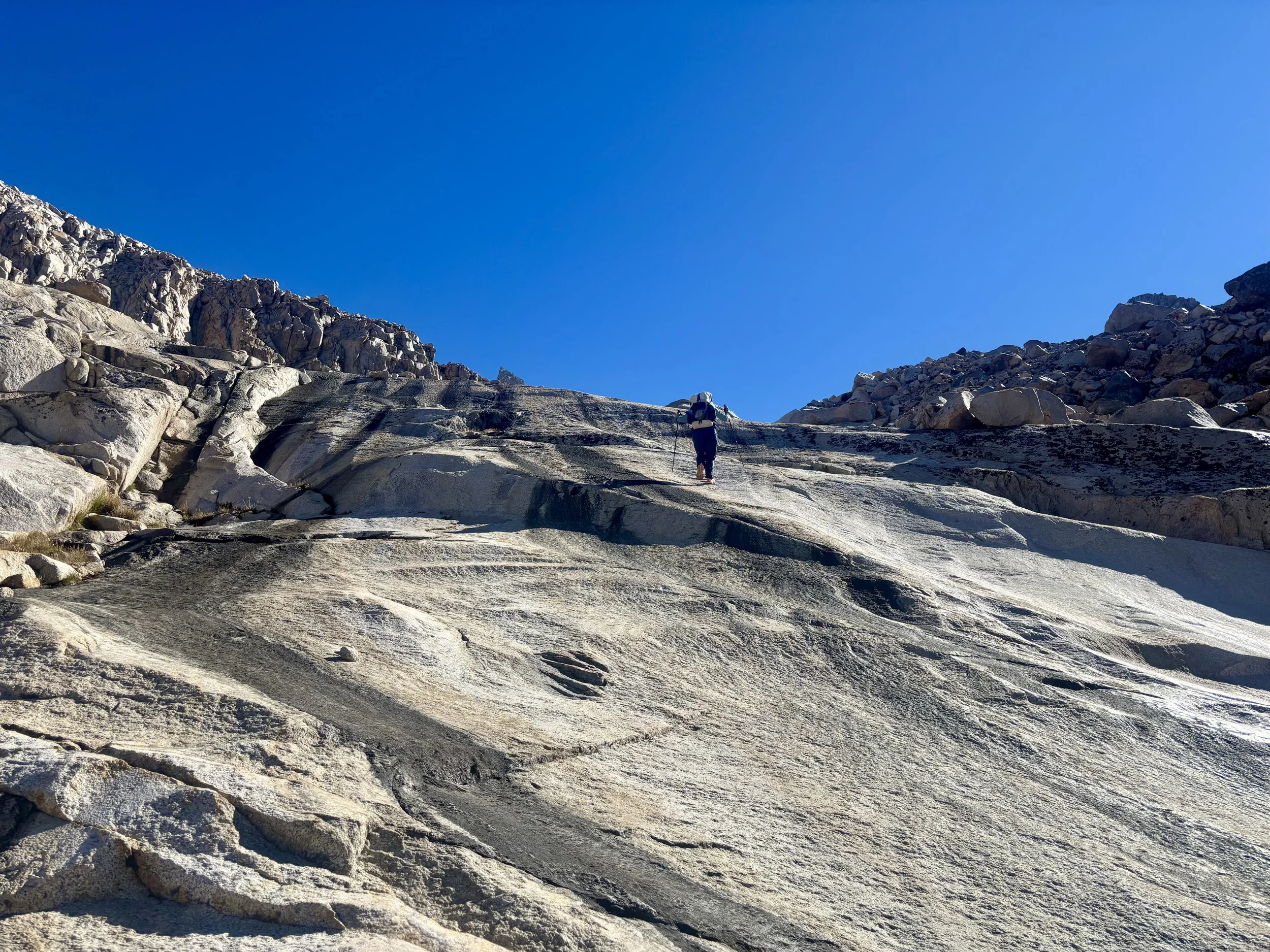
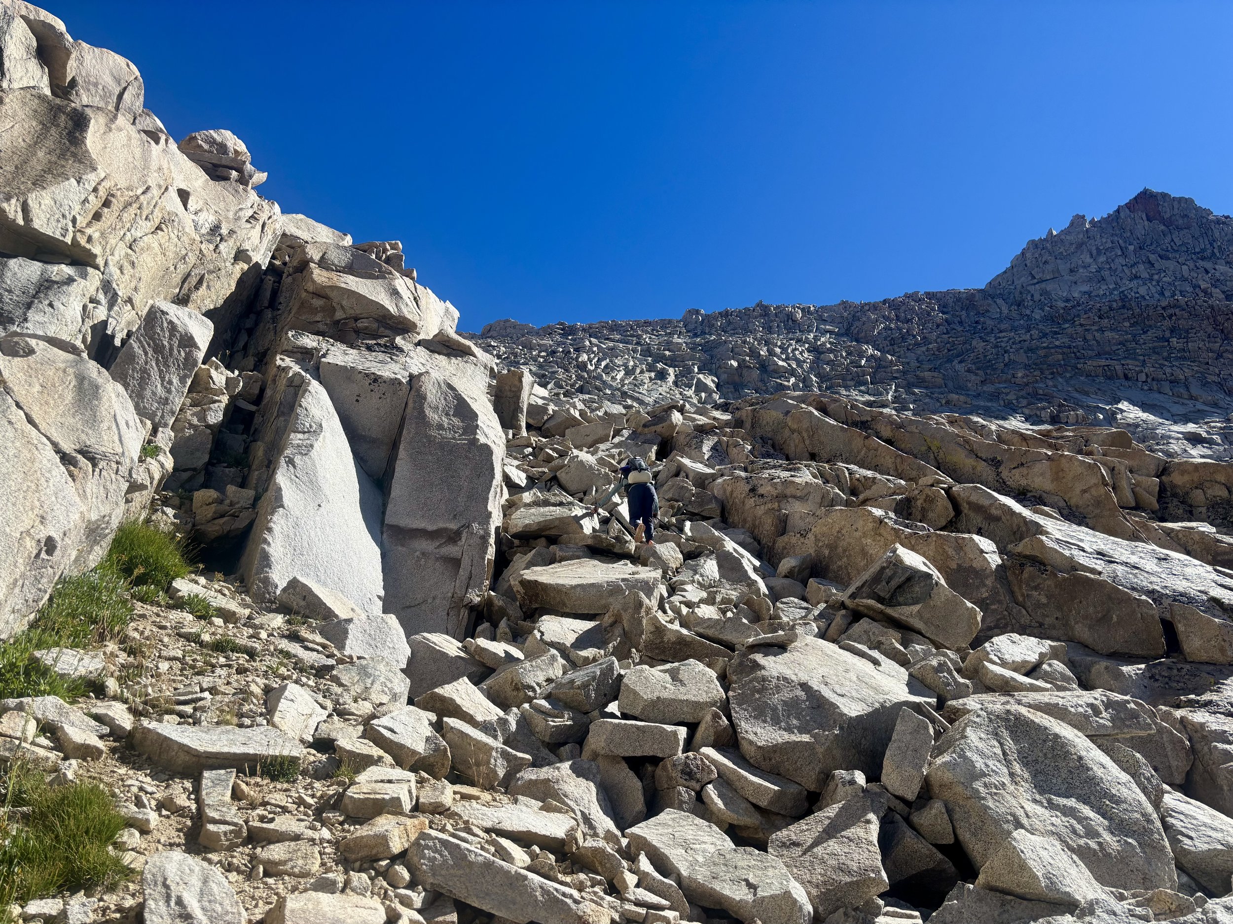
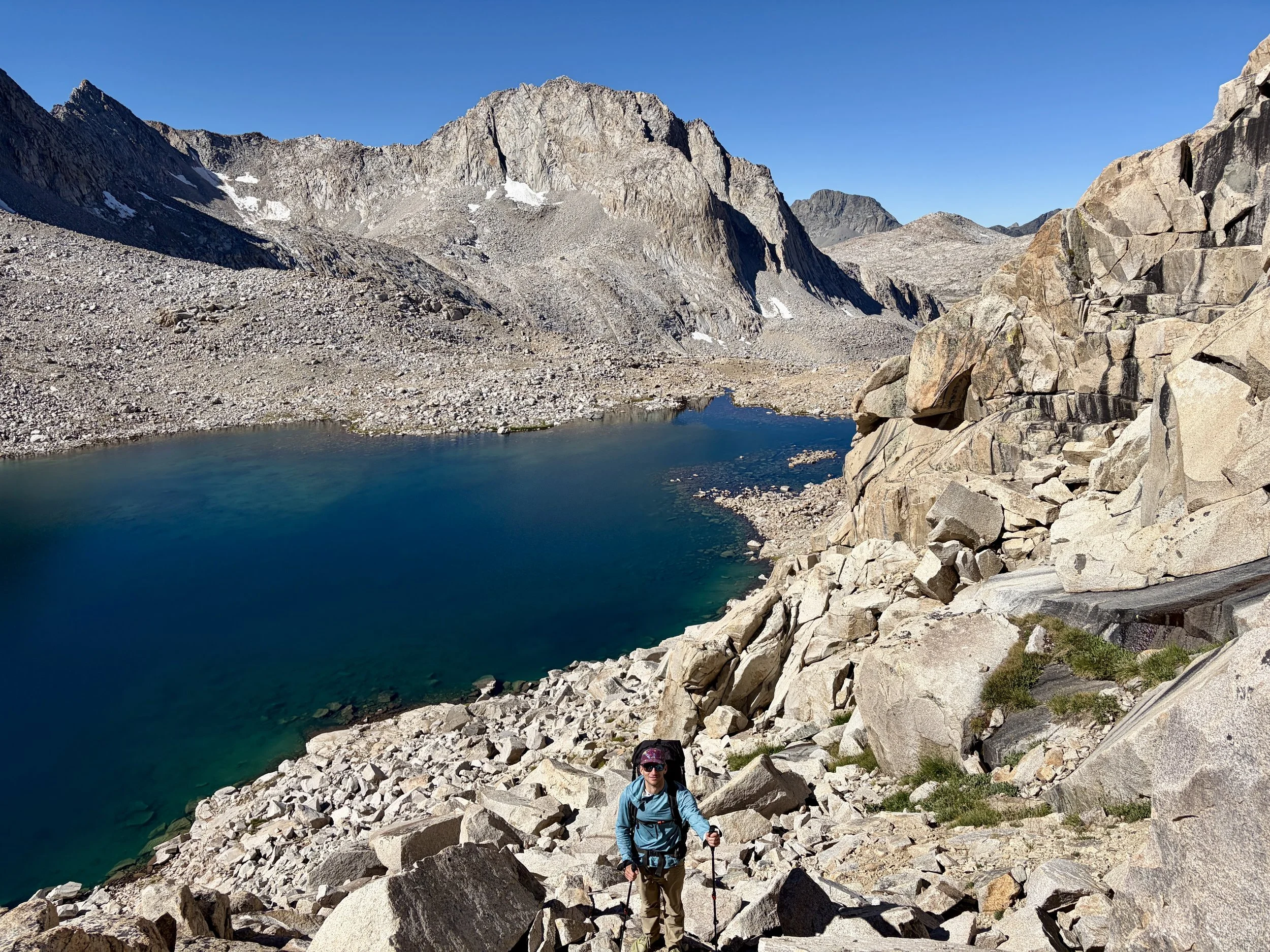
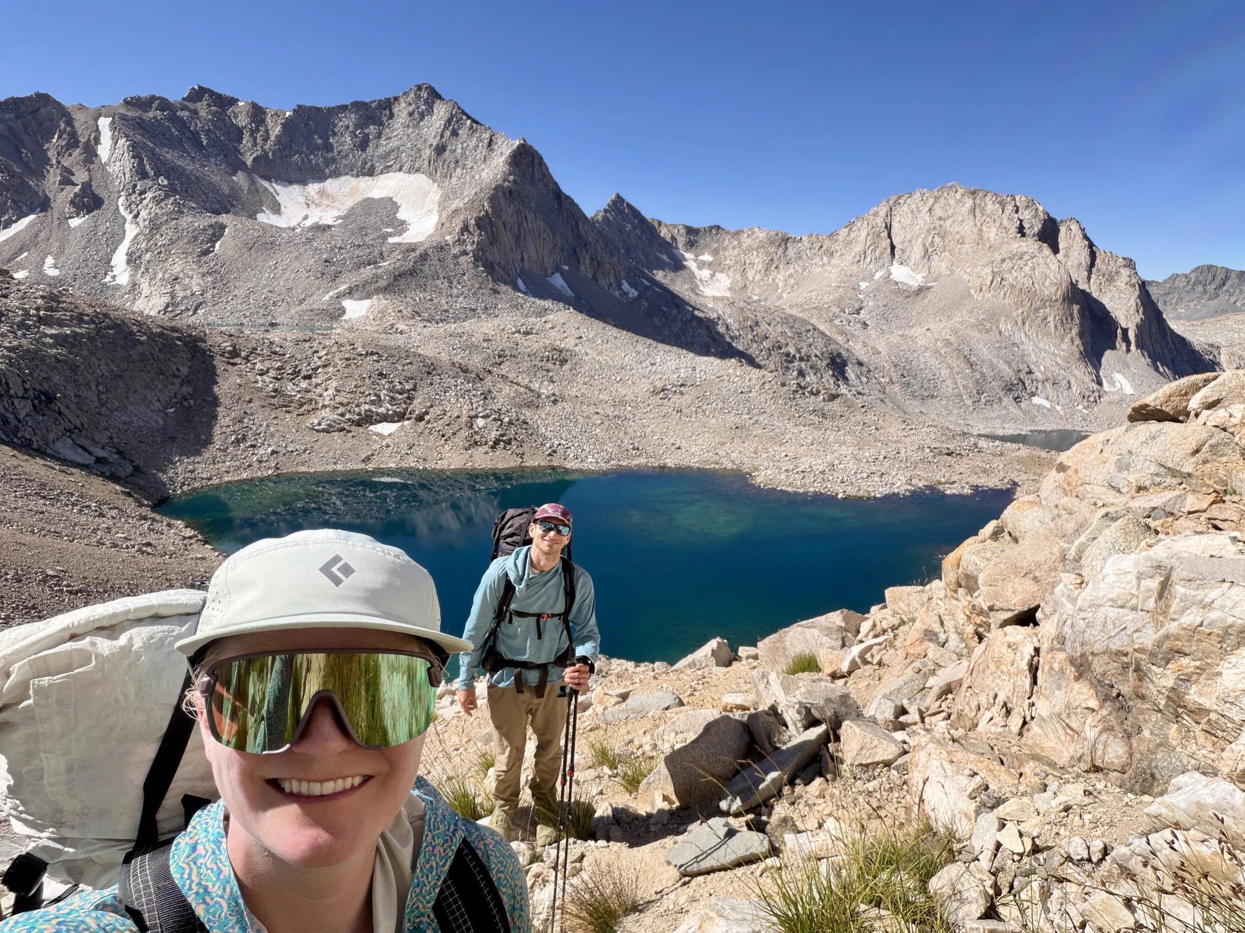
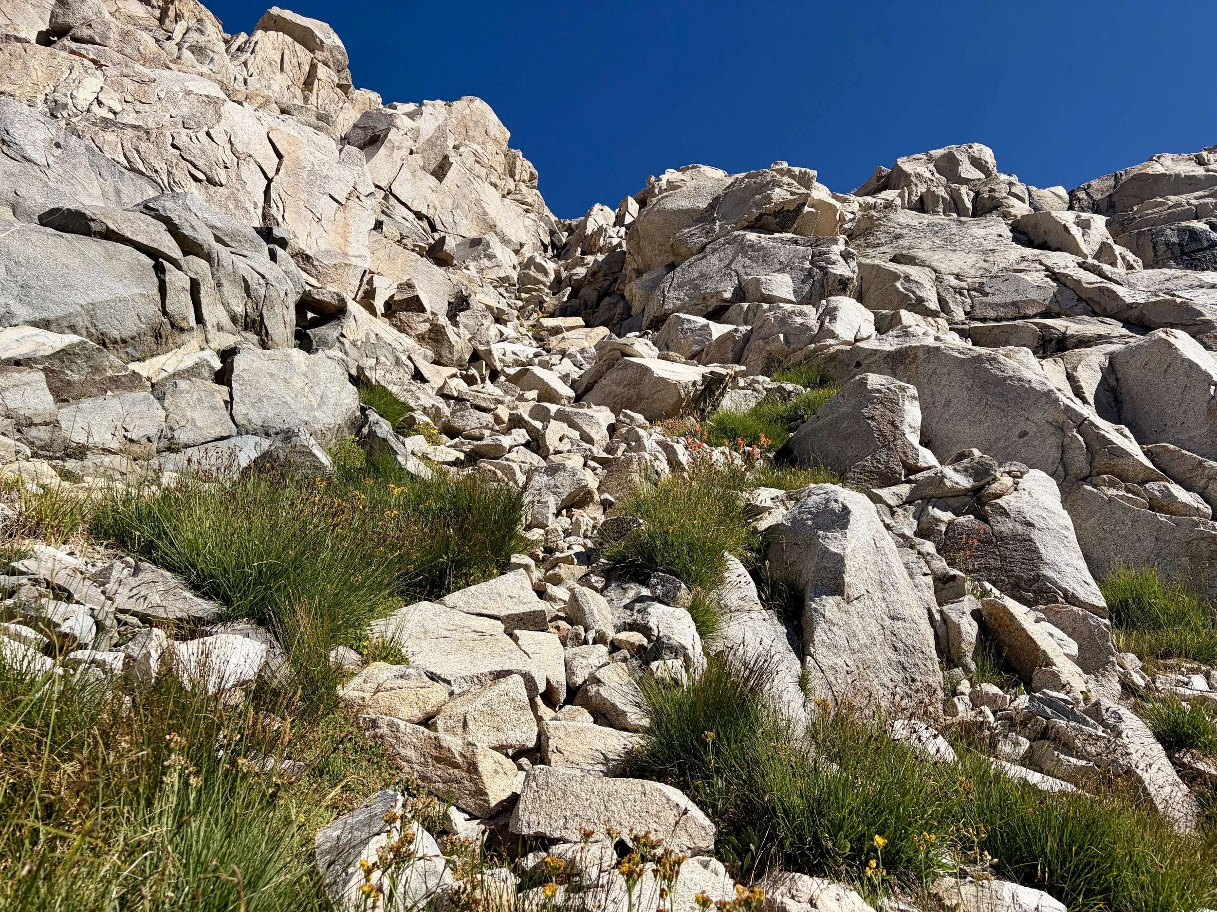
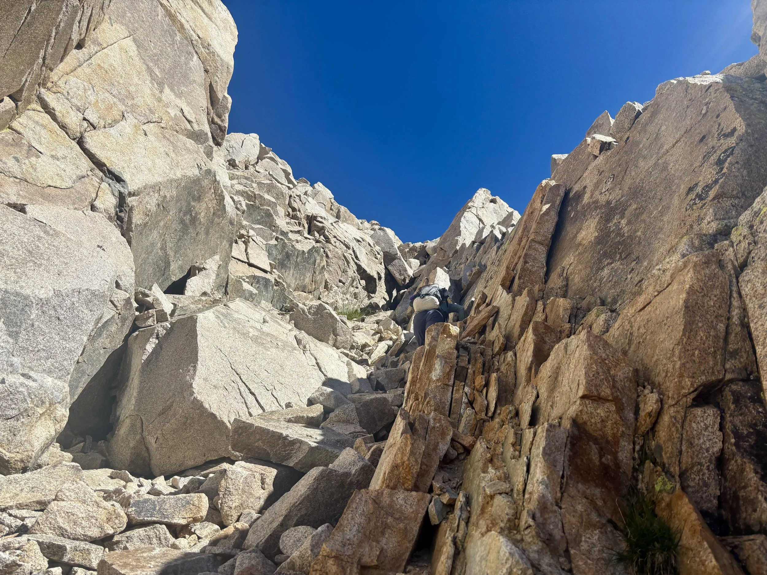
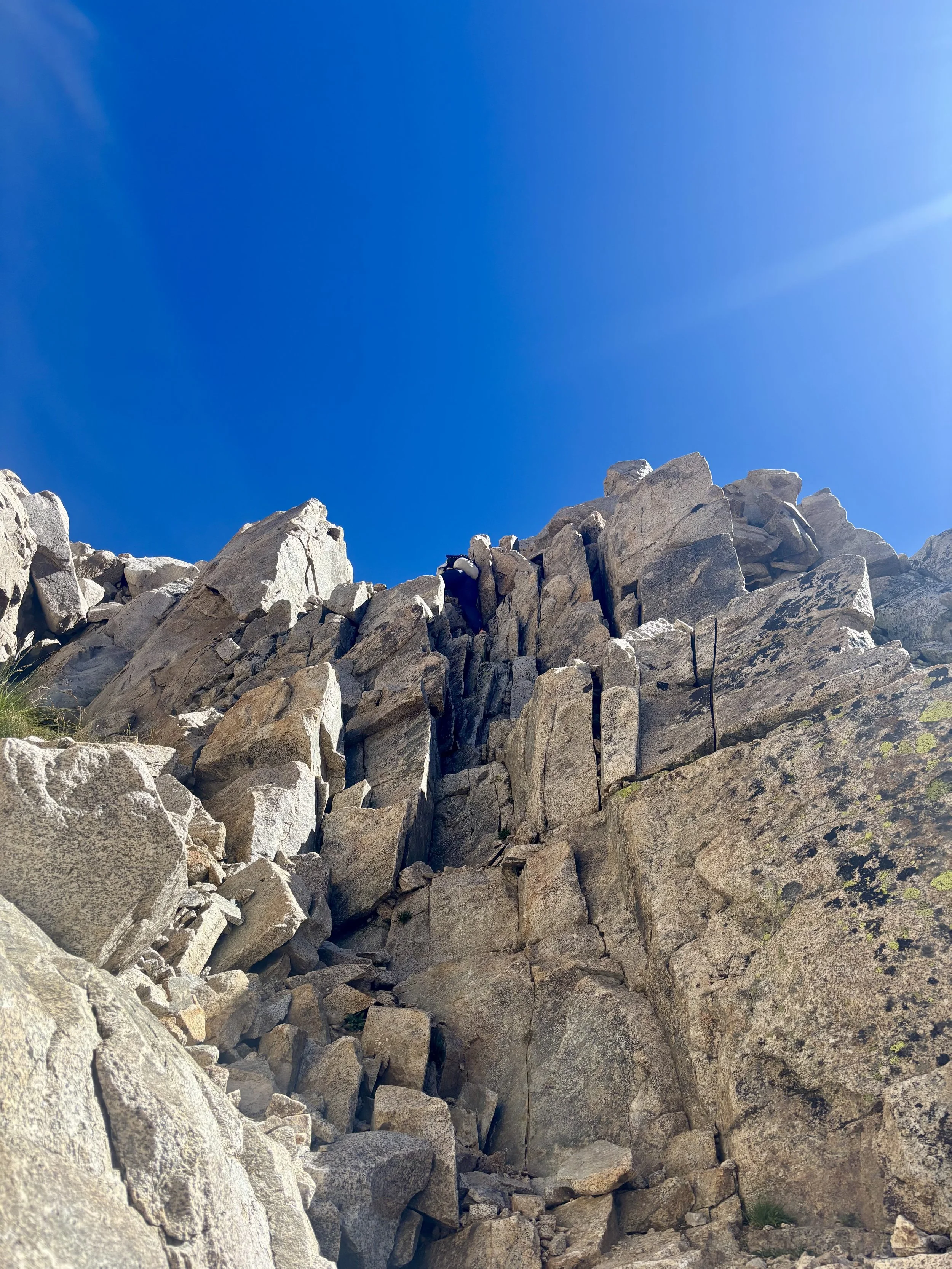
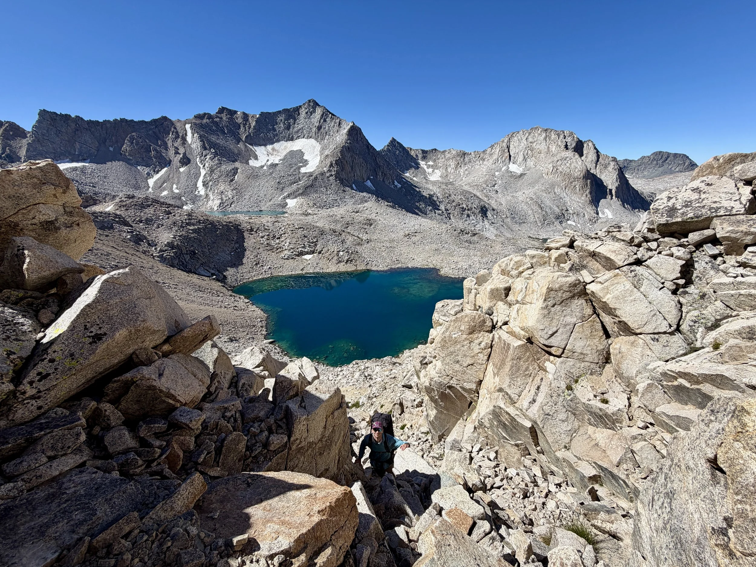
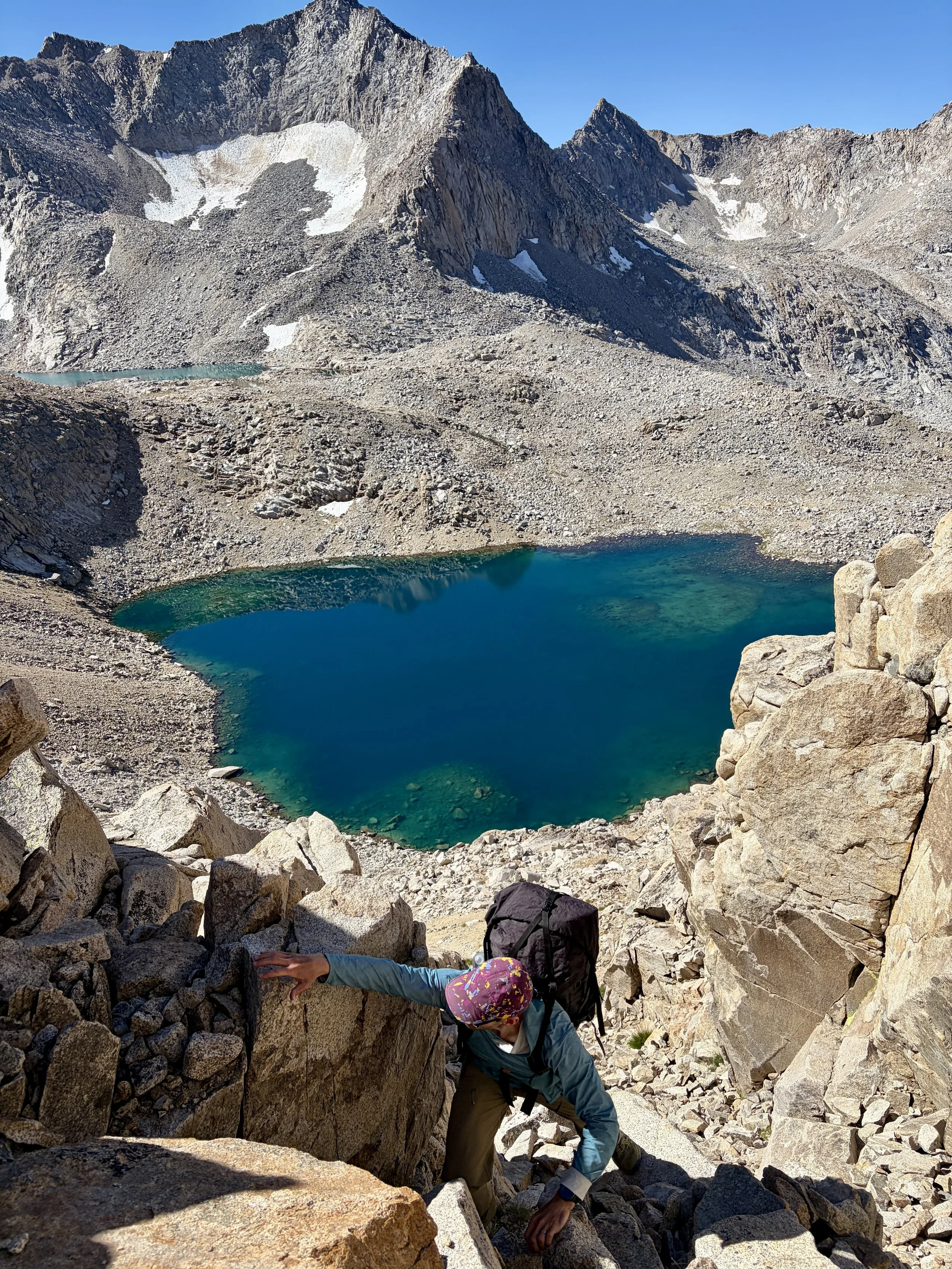
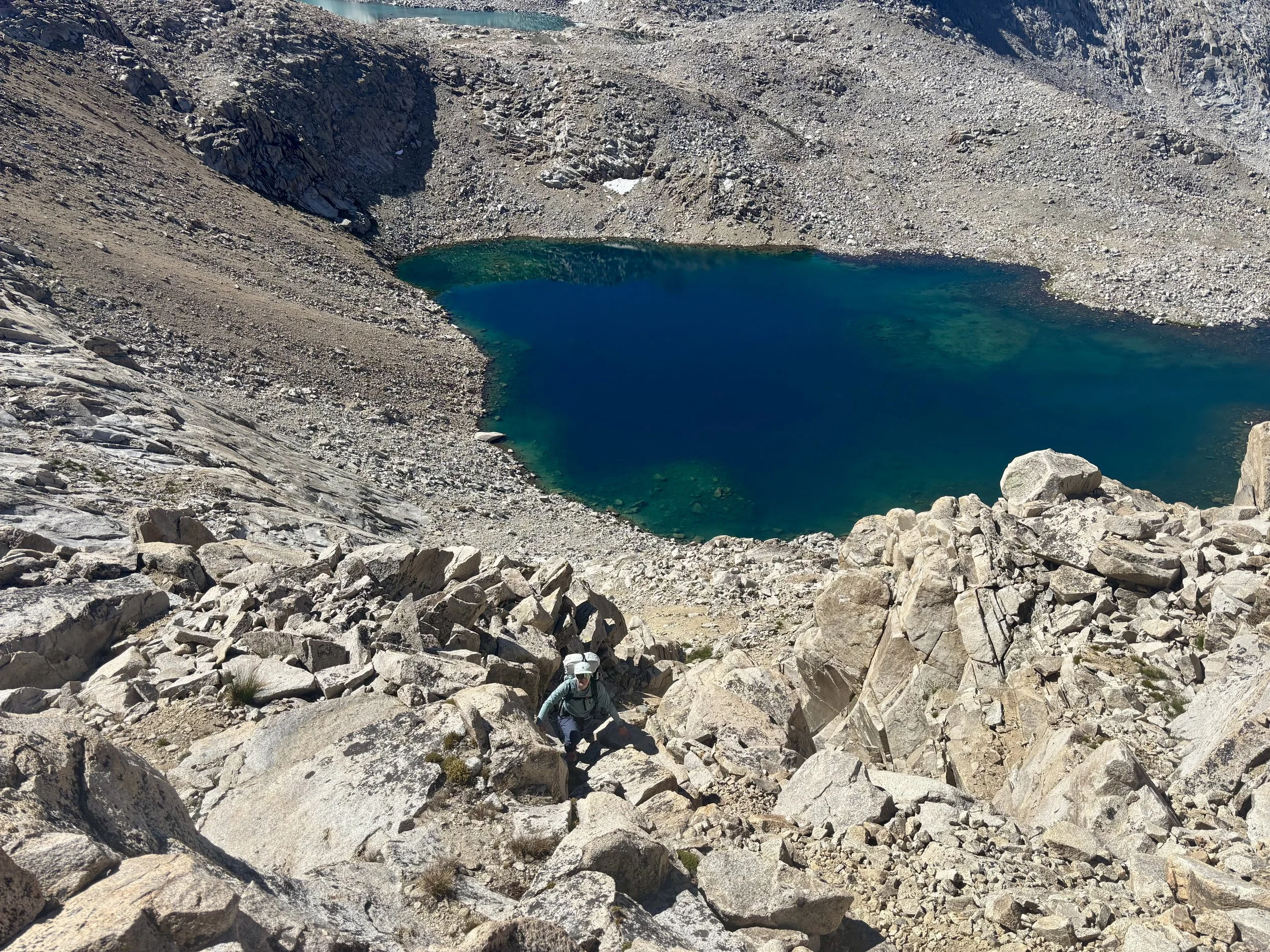
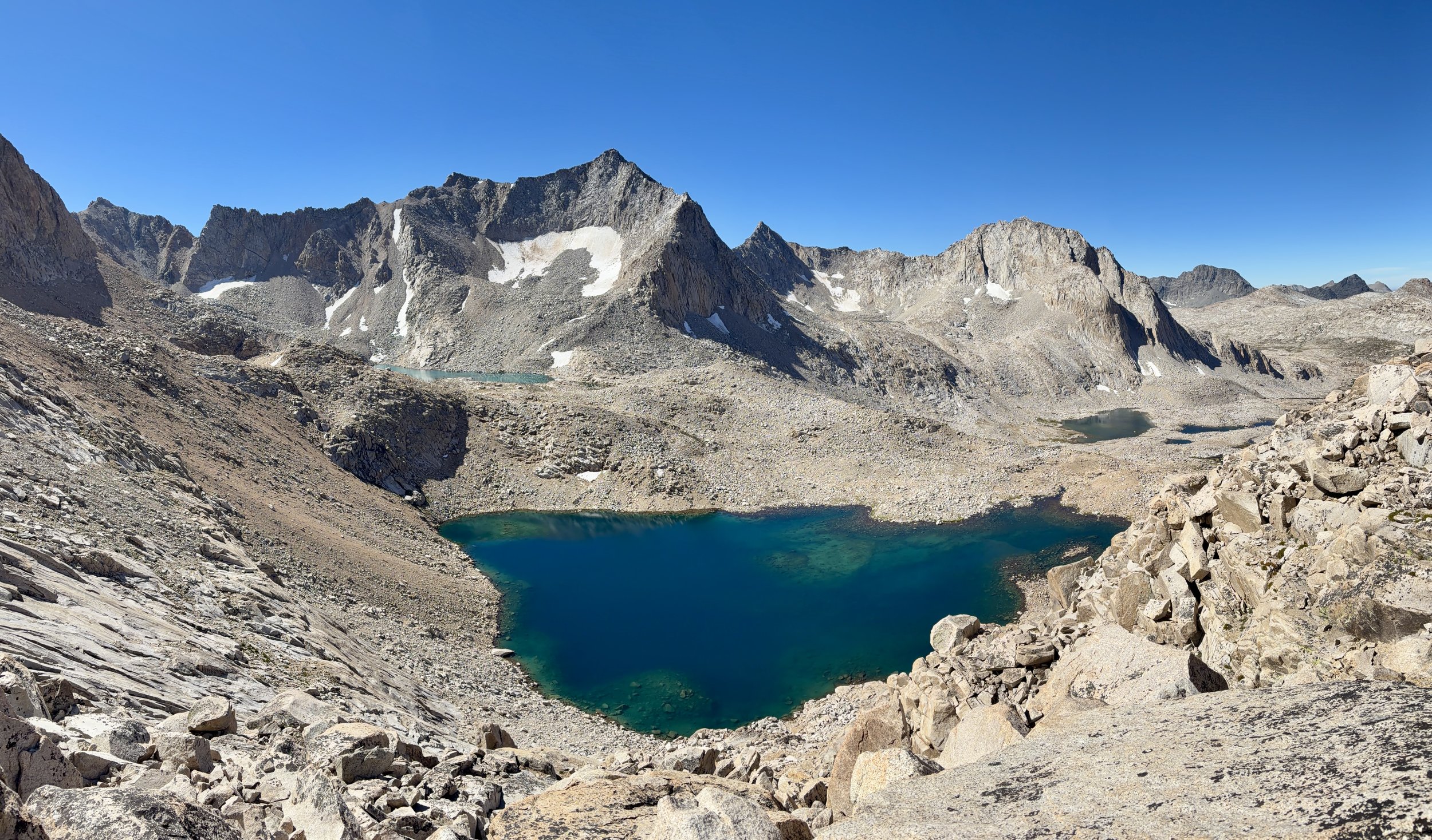
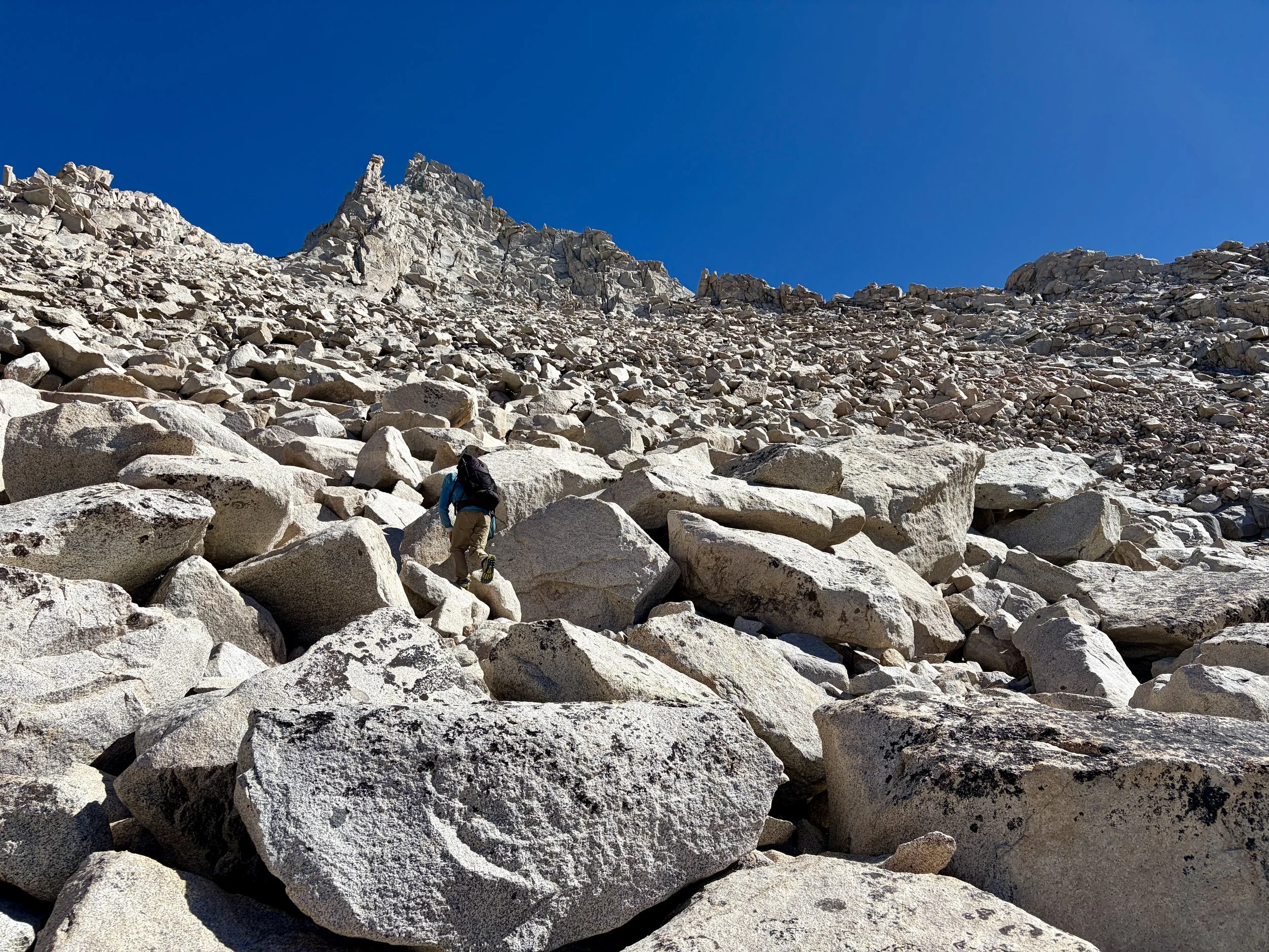
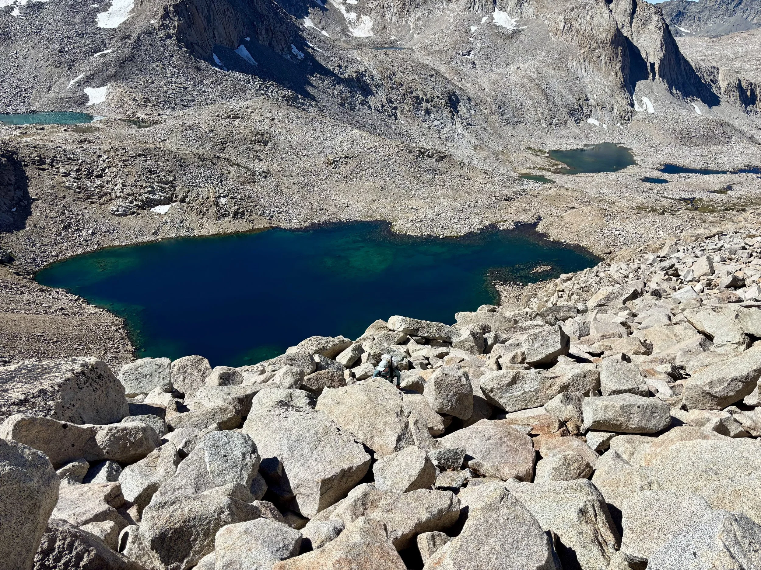
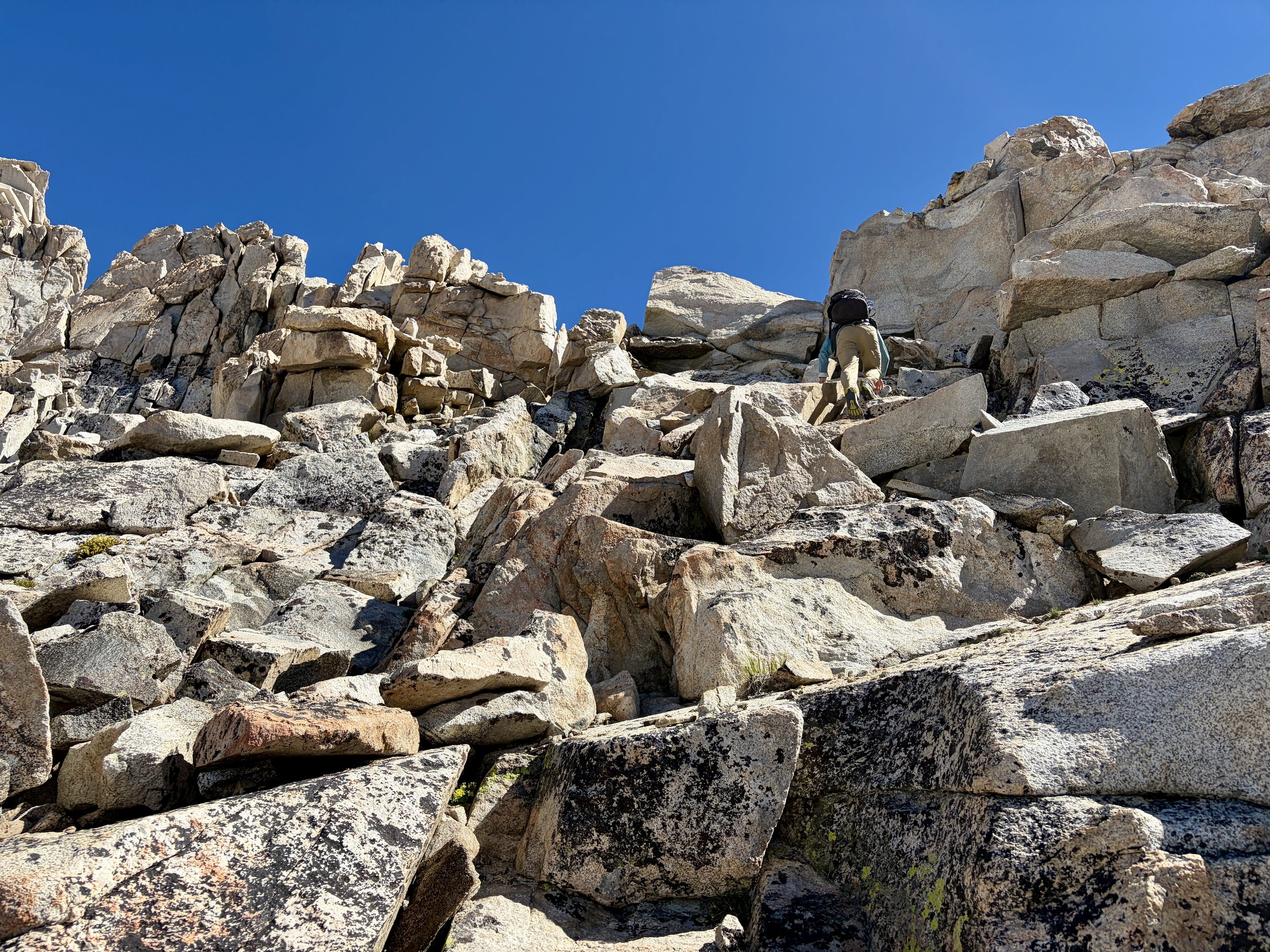
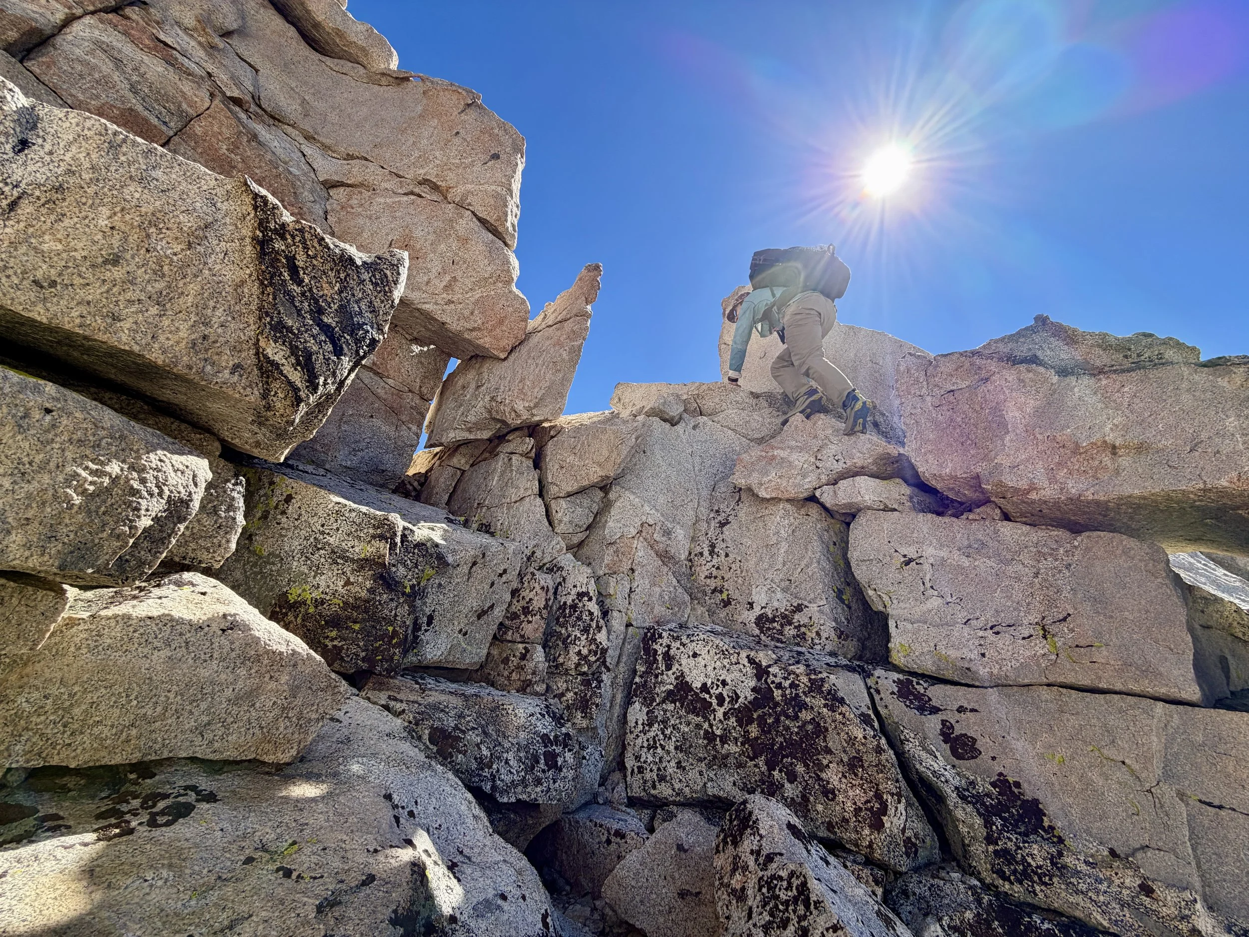
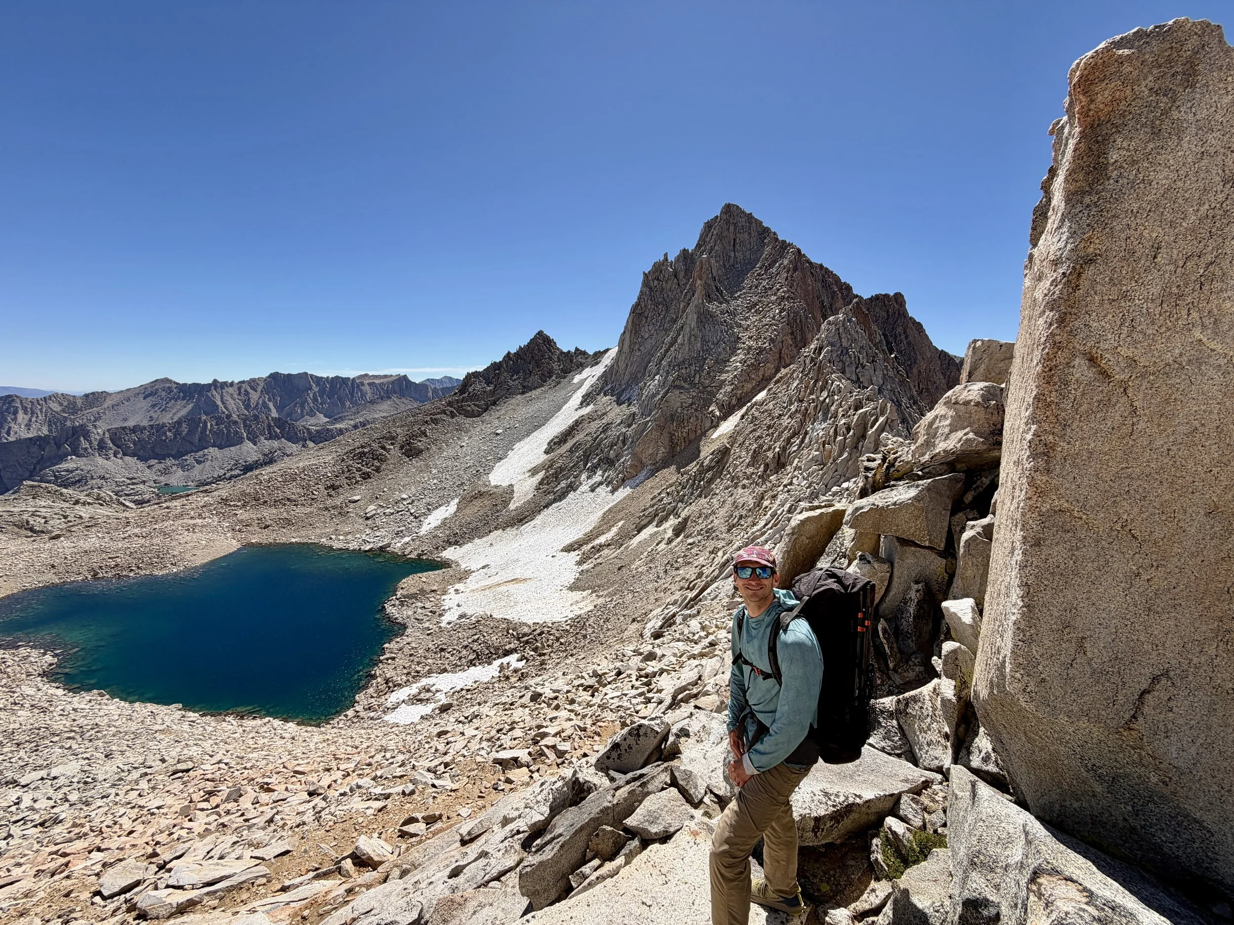
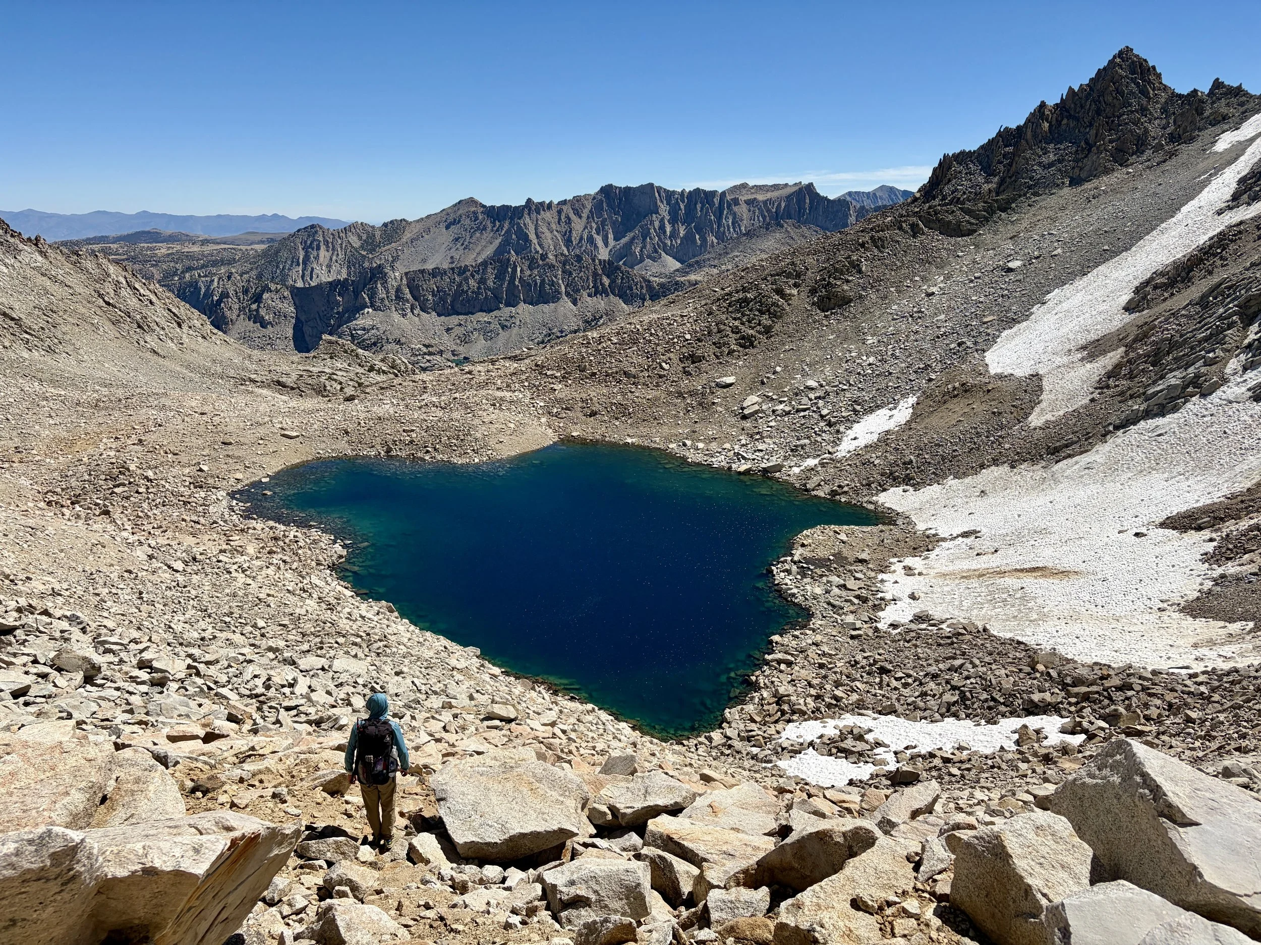
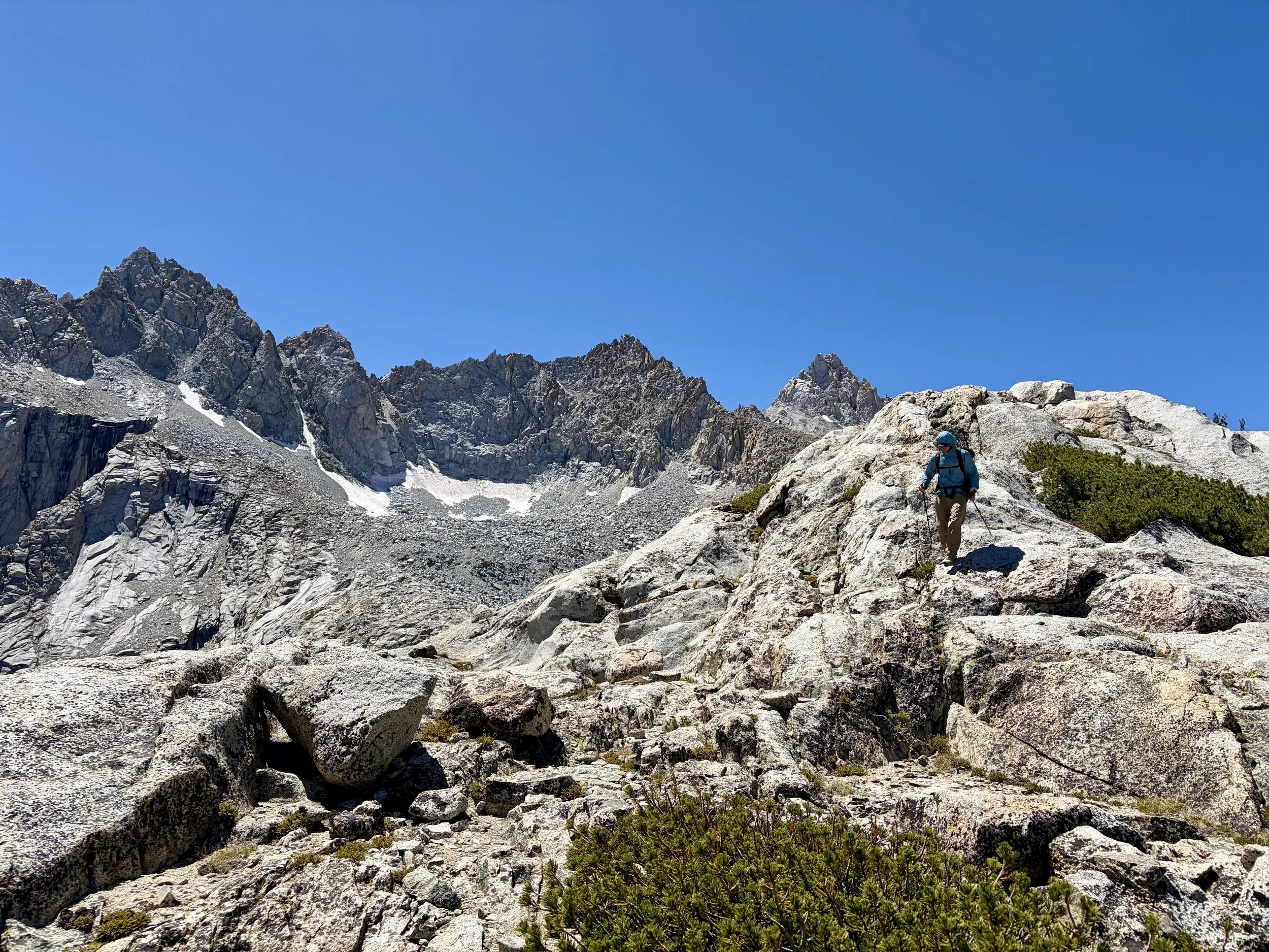
After breakfast, we started heading up to the lake below Haeckel Col. We found a boulder field with some car-sized boulders and began what would be a day full of boulder hopping. We followed the northern shoreline of the lake and then started up a section that looked the least steep. This section eventually turned into a bit of a gully and we found ourselves needing to make some Class 3 moves to get up and out of it. This got us up to another large boulder field, but it was no longer quite as steep. We continued towards a notch that is a hundred feet or so lookers left from the bottom of the saddle that required another Class 3 move to get up to. Thankfully, none of the Class 3 moves were exposed. Getting to the top of the col ended up being way easier than I anticipated based on how it looked from far away.
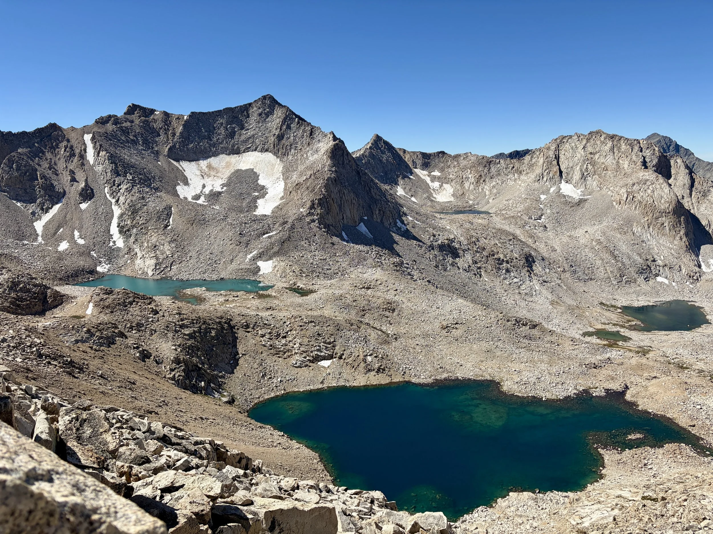
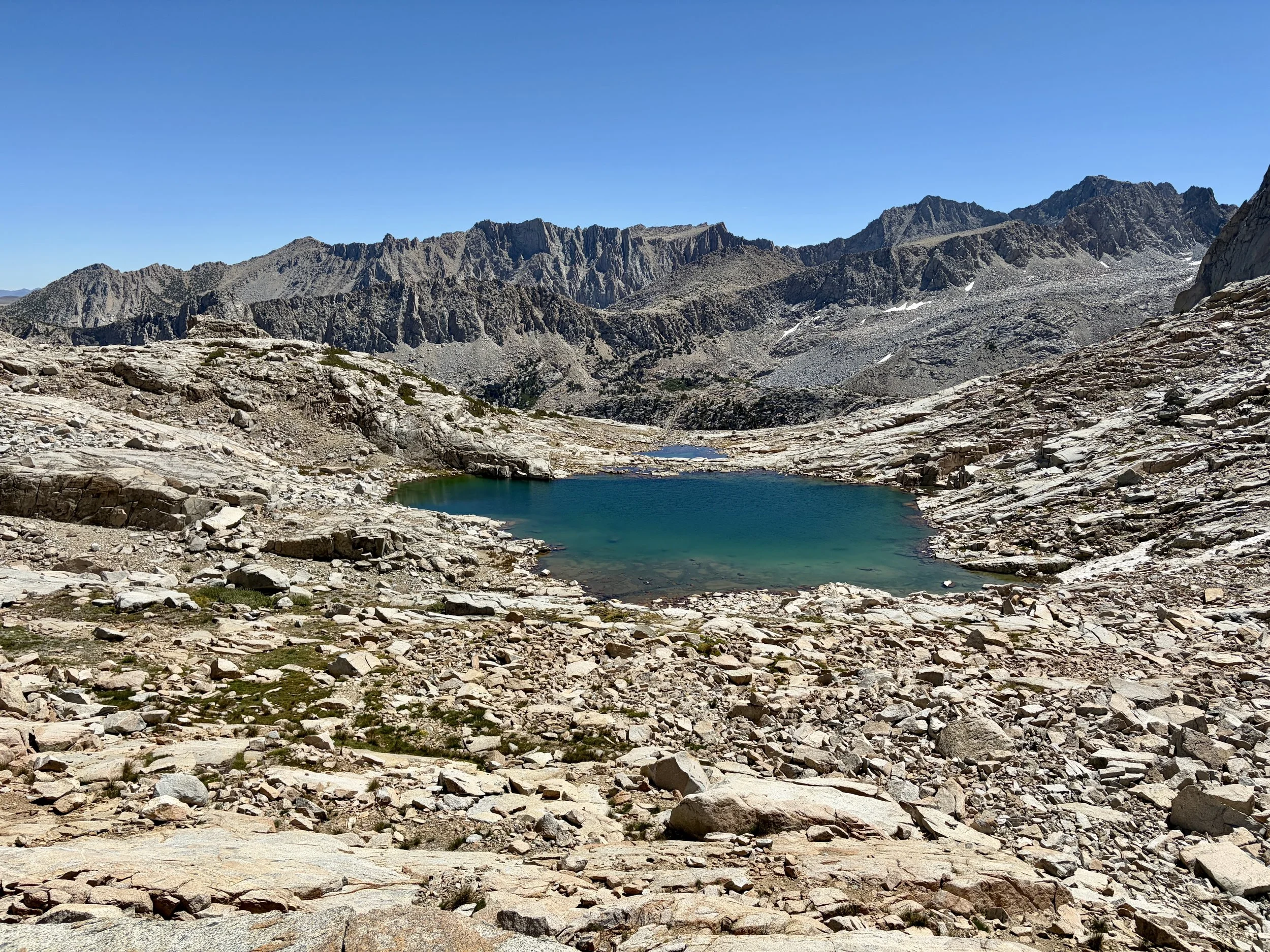
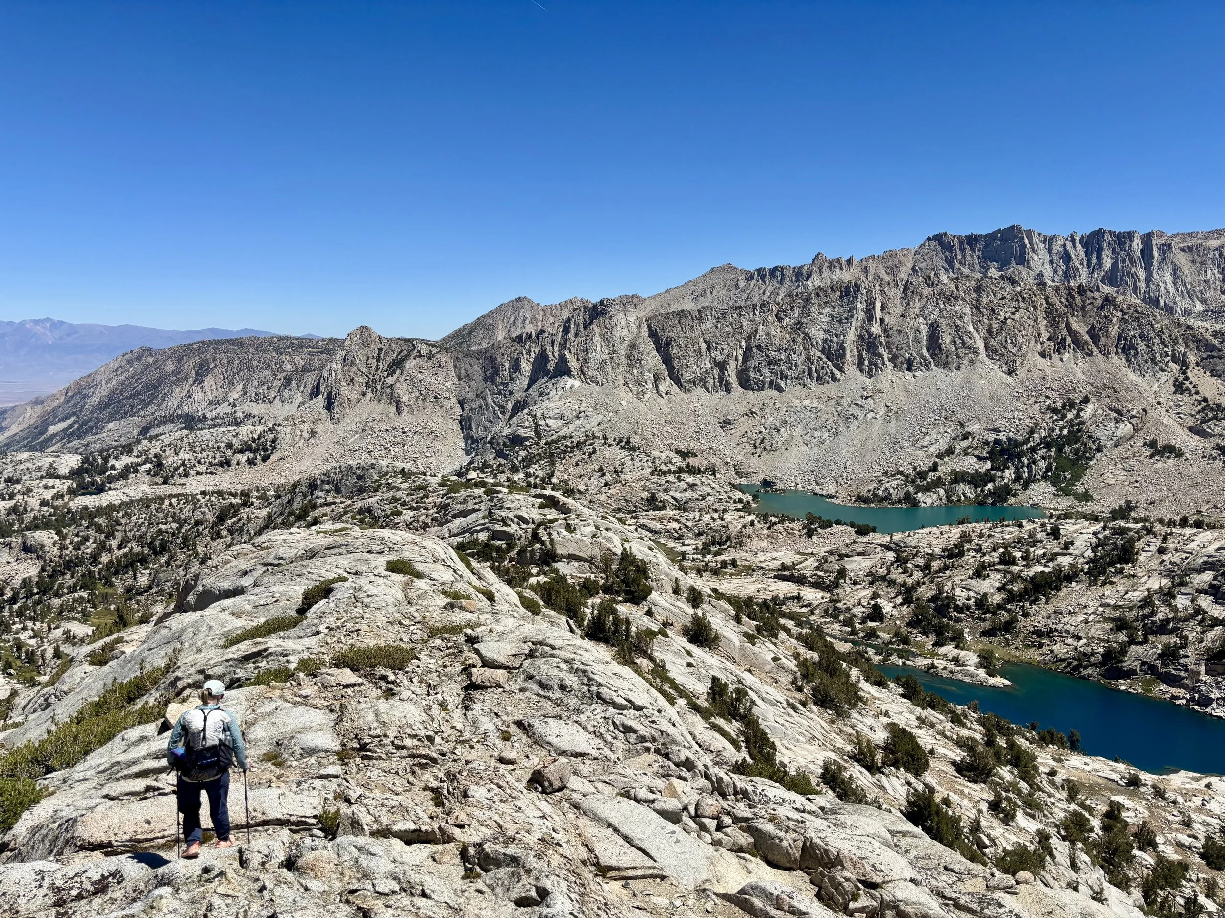
On the other side of the col, we found a series of ledges that were easy to get down and then we were once again hopping from boulder to boulder. We passed a few lakes and then stayed high to gain a ridge line that went between Hungry Packer Lake and Midnight Lake. This ridge line was more complicated than it looked like it would be based on the topo map. Thankfully, there were cairns that guided us around the south side of the high point on the ridge and then after that, we just took the path of least resistance on the ridge. I had seen many reports of most people dropping down to Midnight Lake from the ridge, however, I was most interested in camping at Hungry Packer Lake that night so we decided to drop south off the ridge at one point and make our way to some campsites along that lake. Thankfully, we were able to navigate down to the lake through a series of ledges.
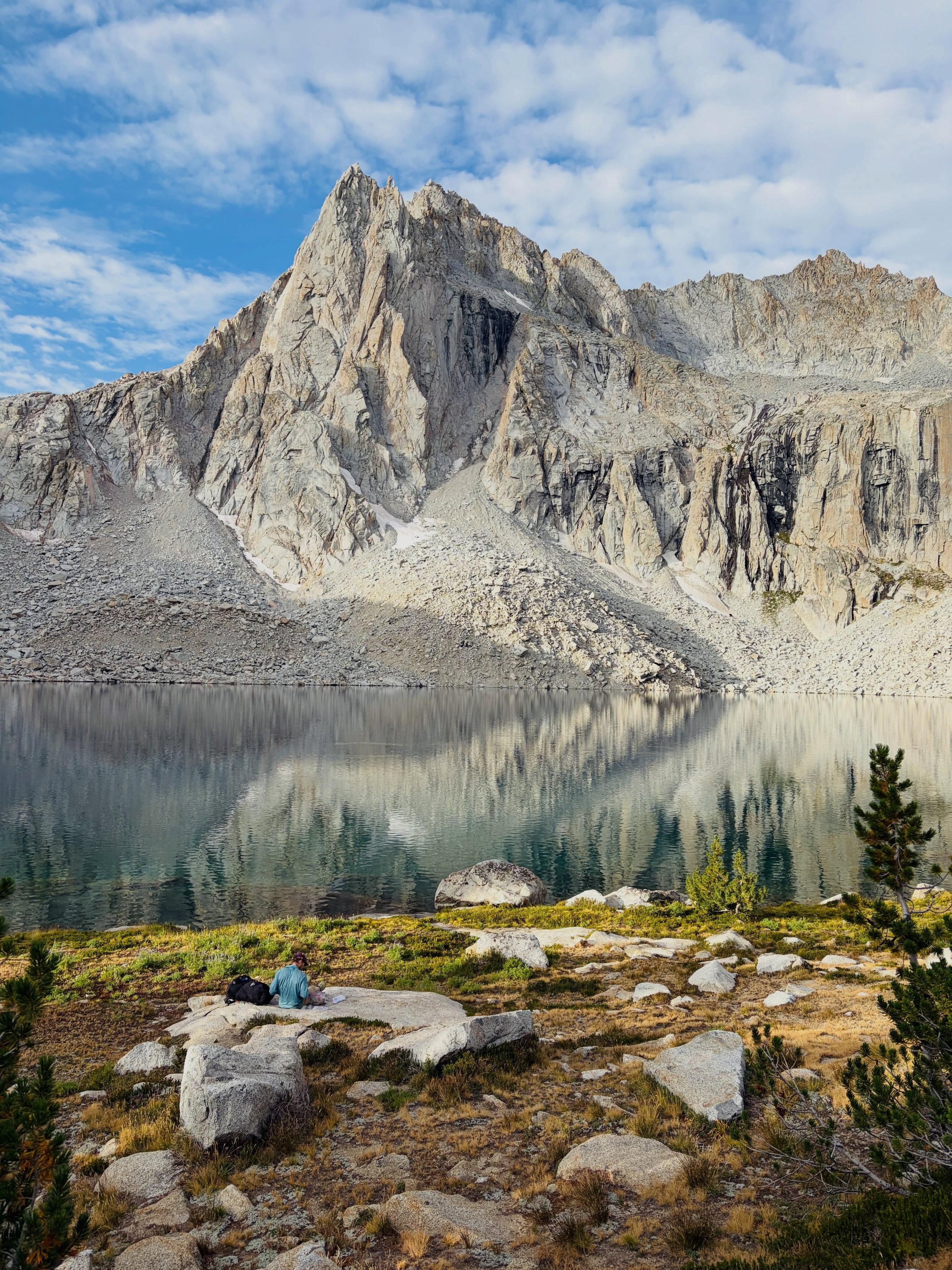
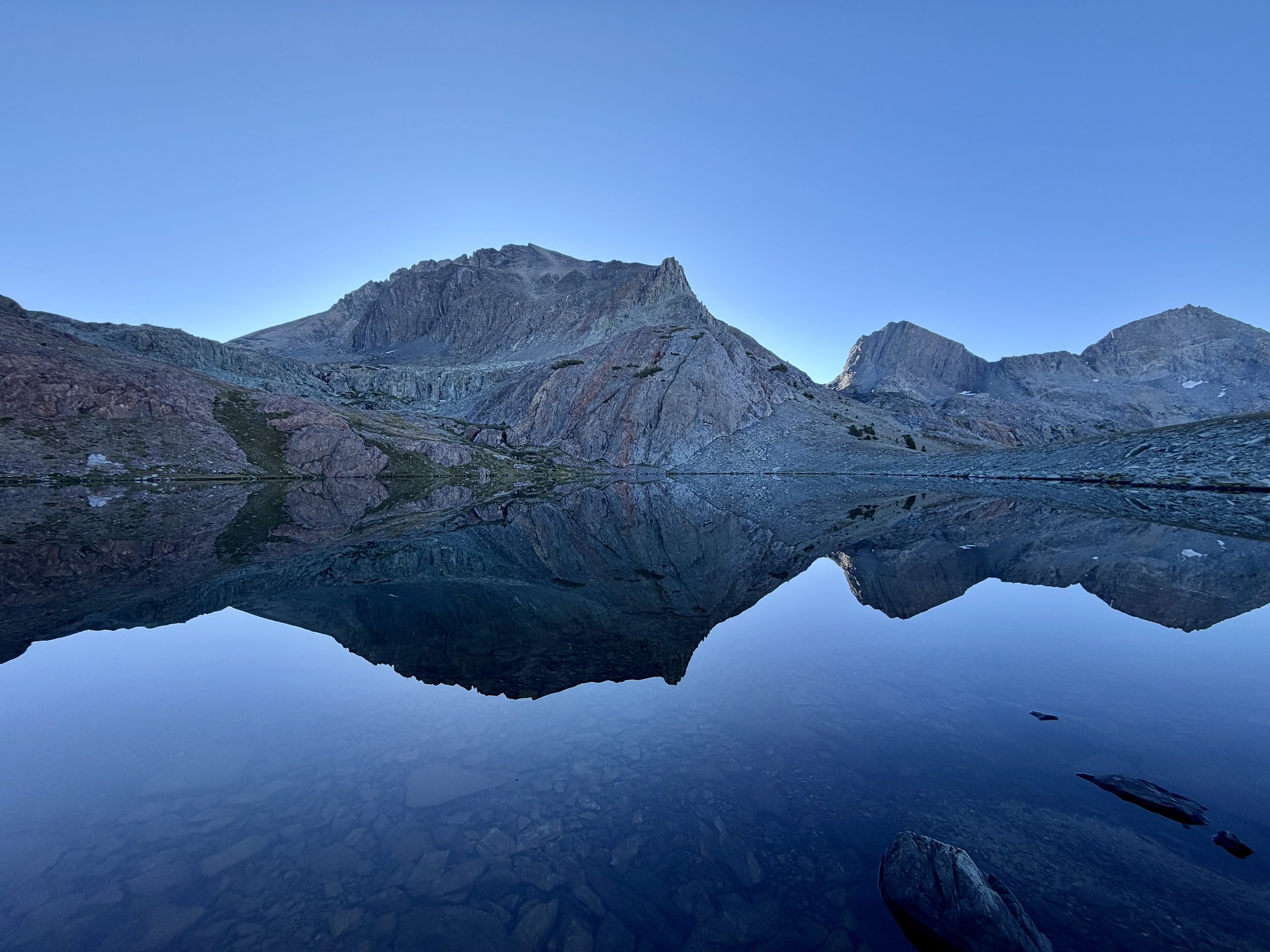
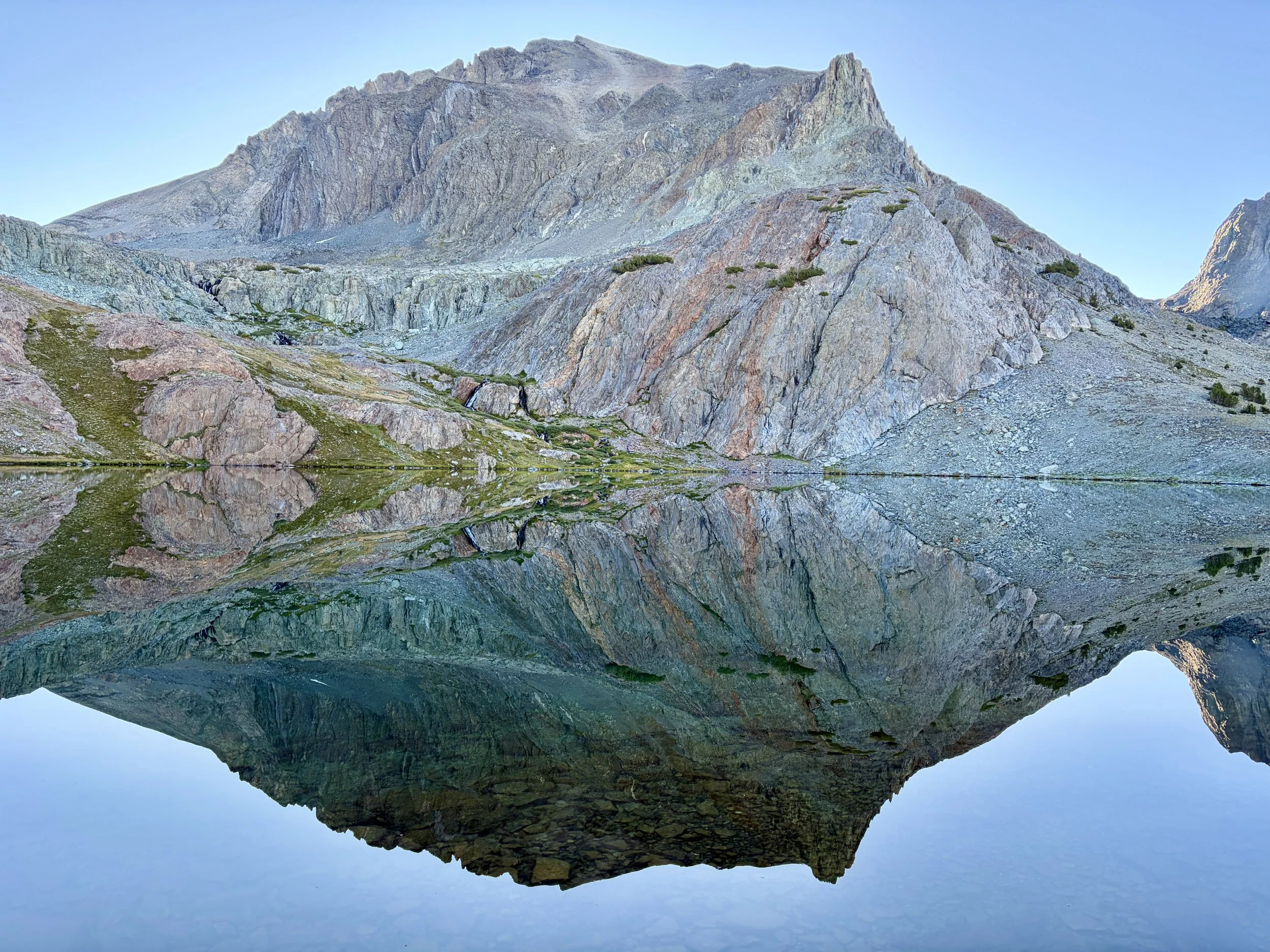
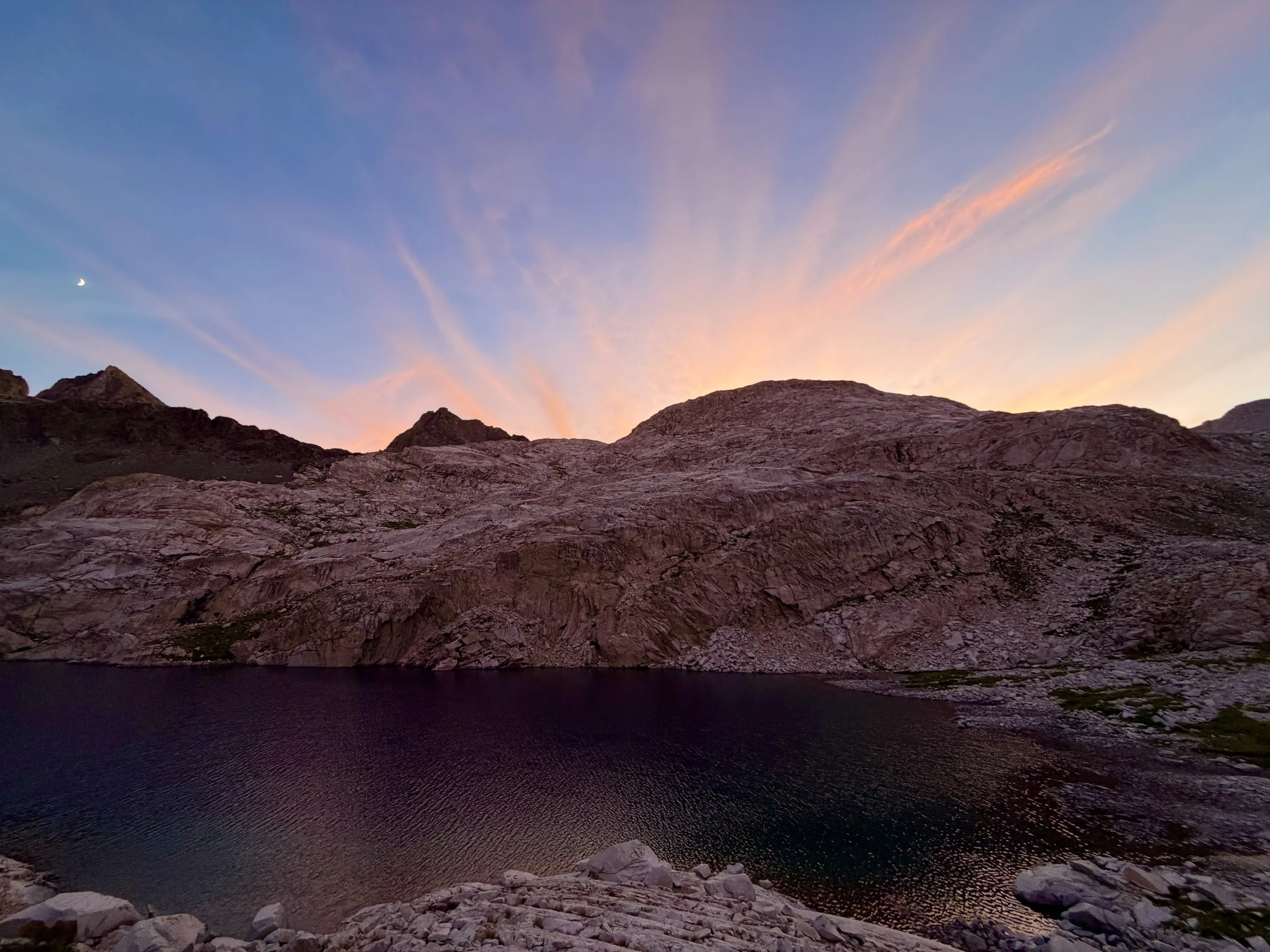
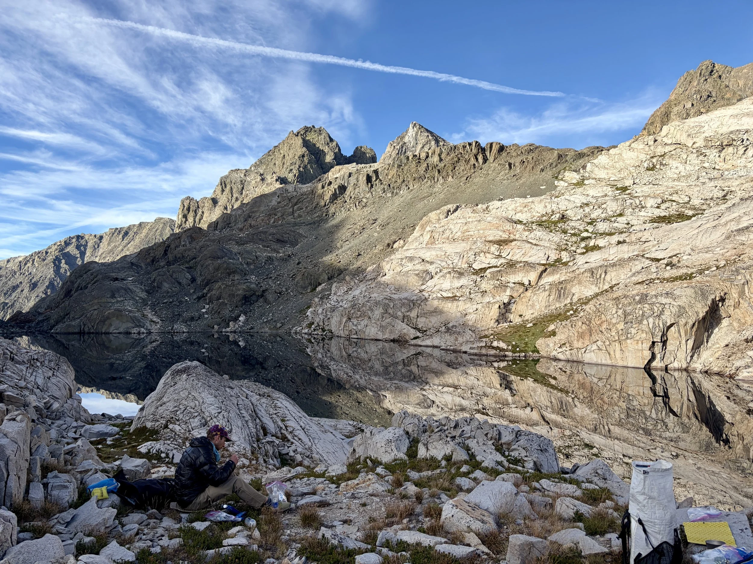
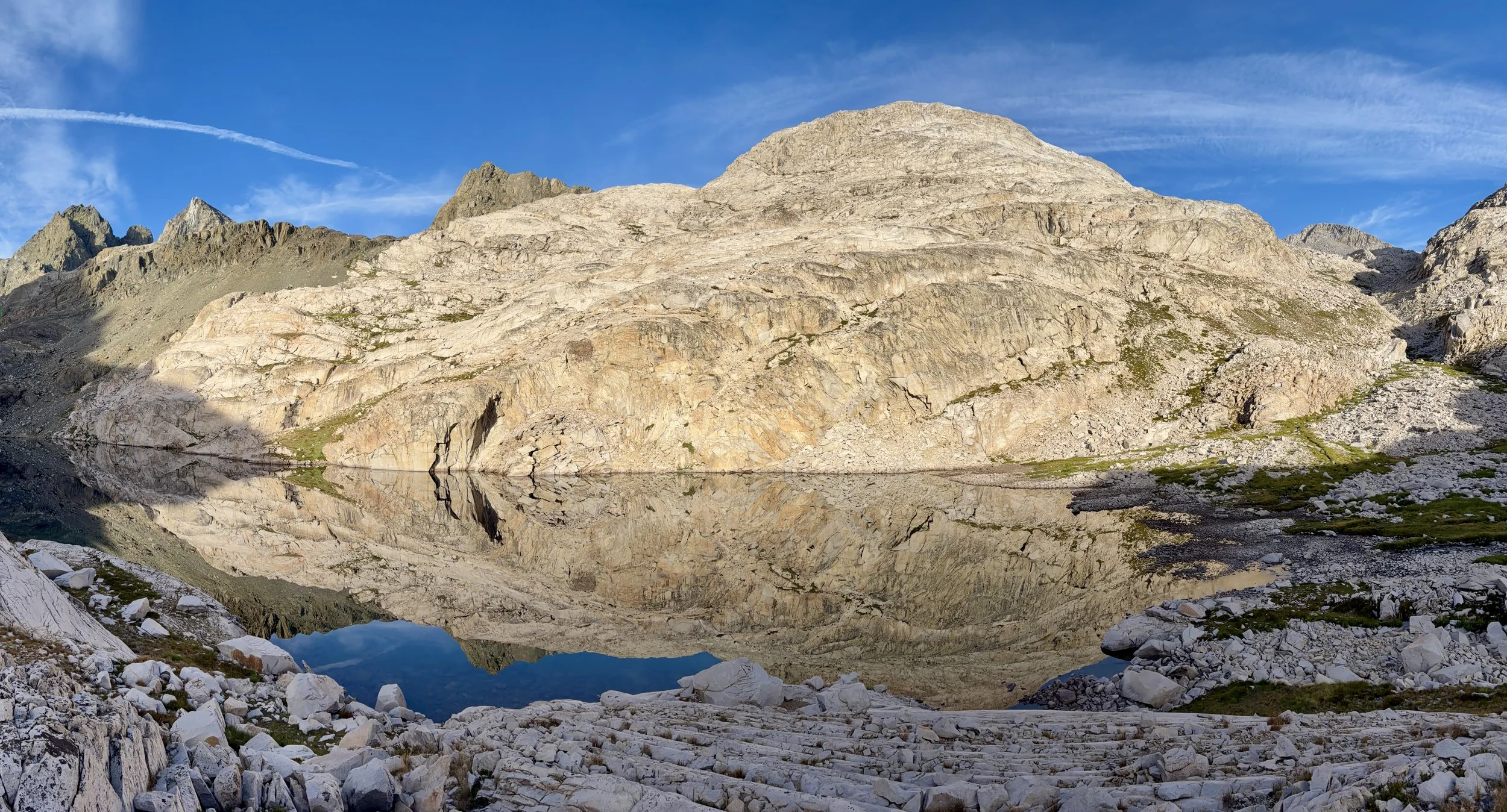
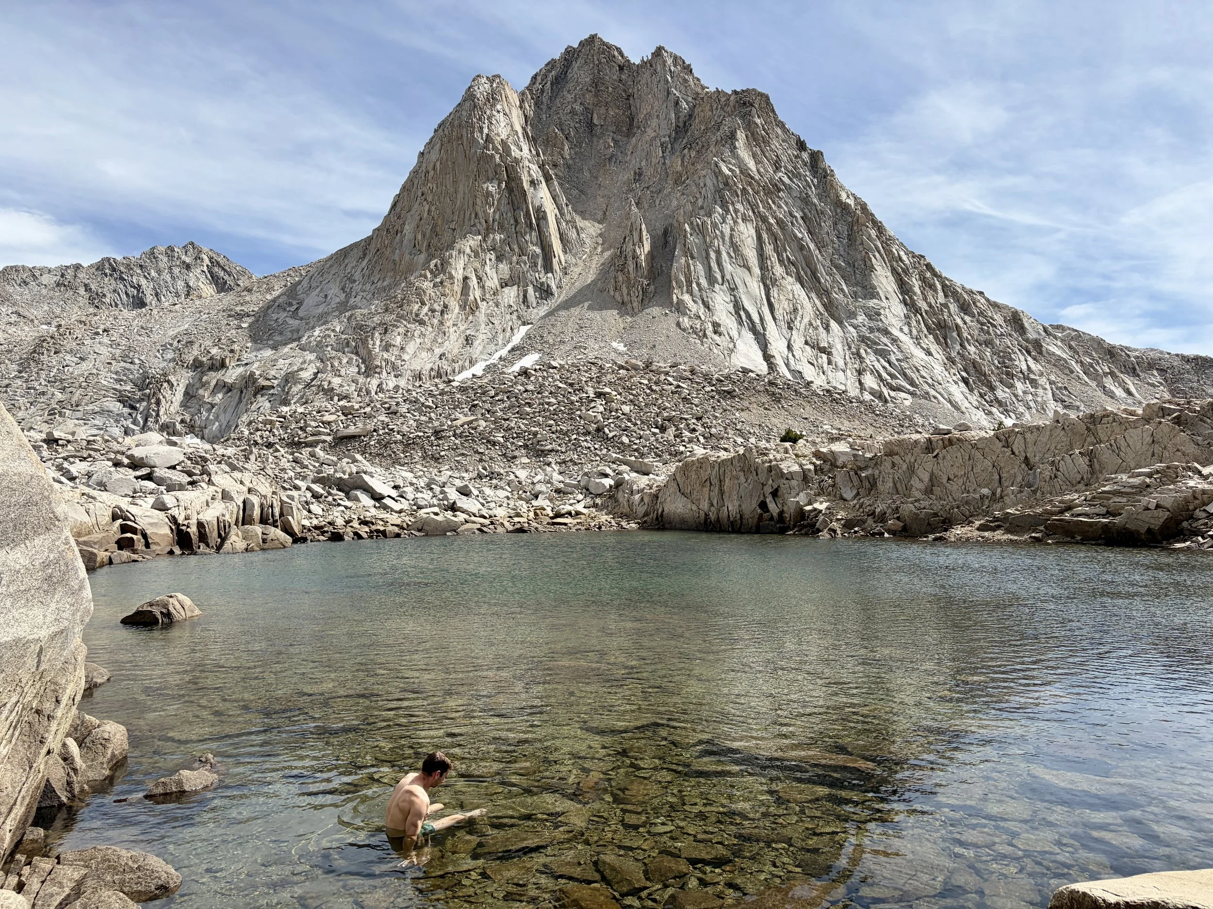
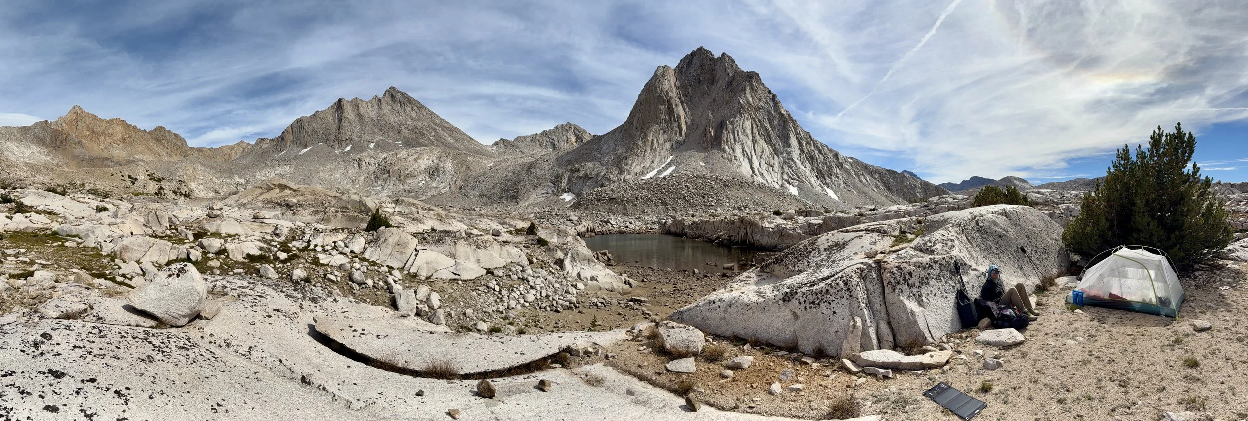
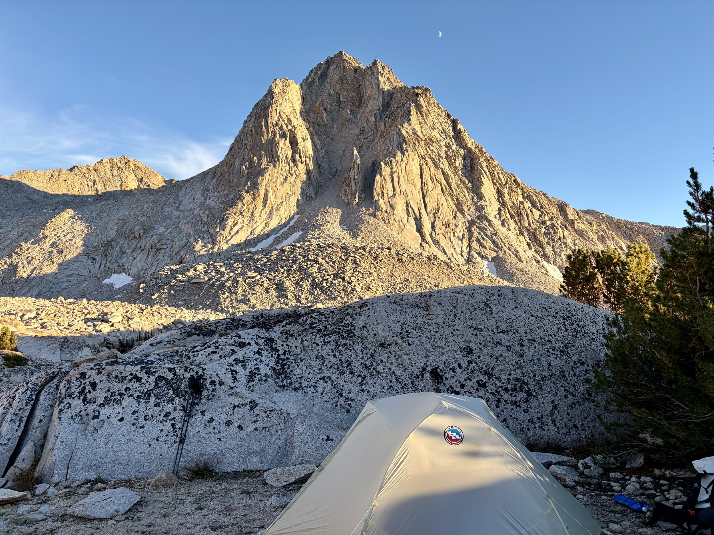
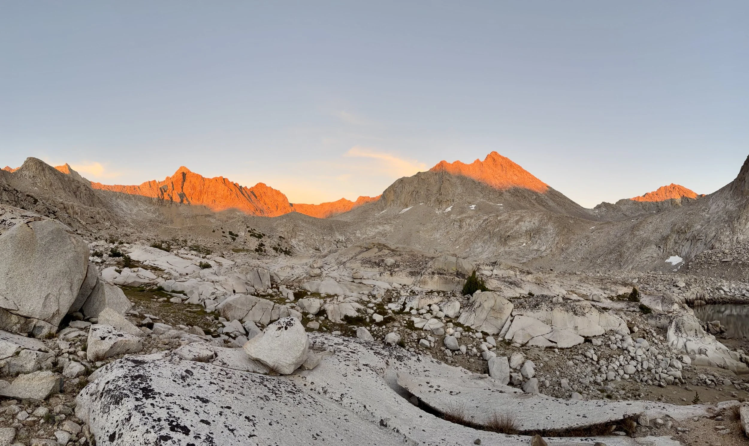
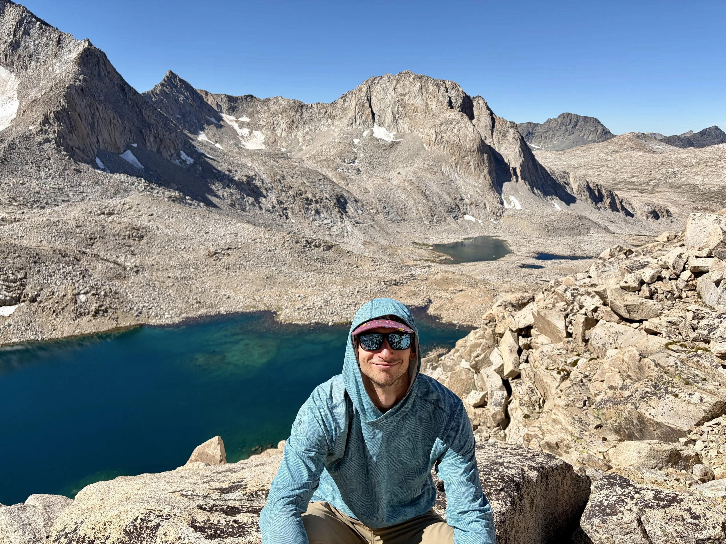
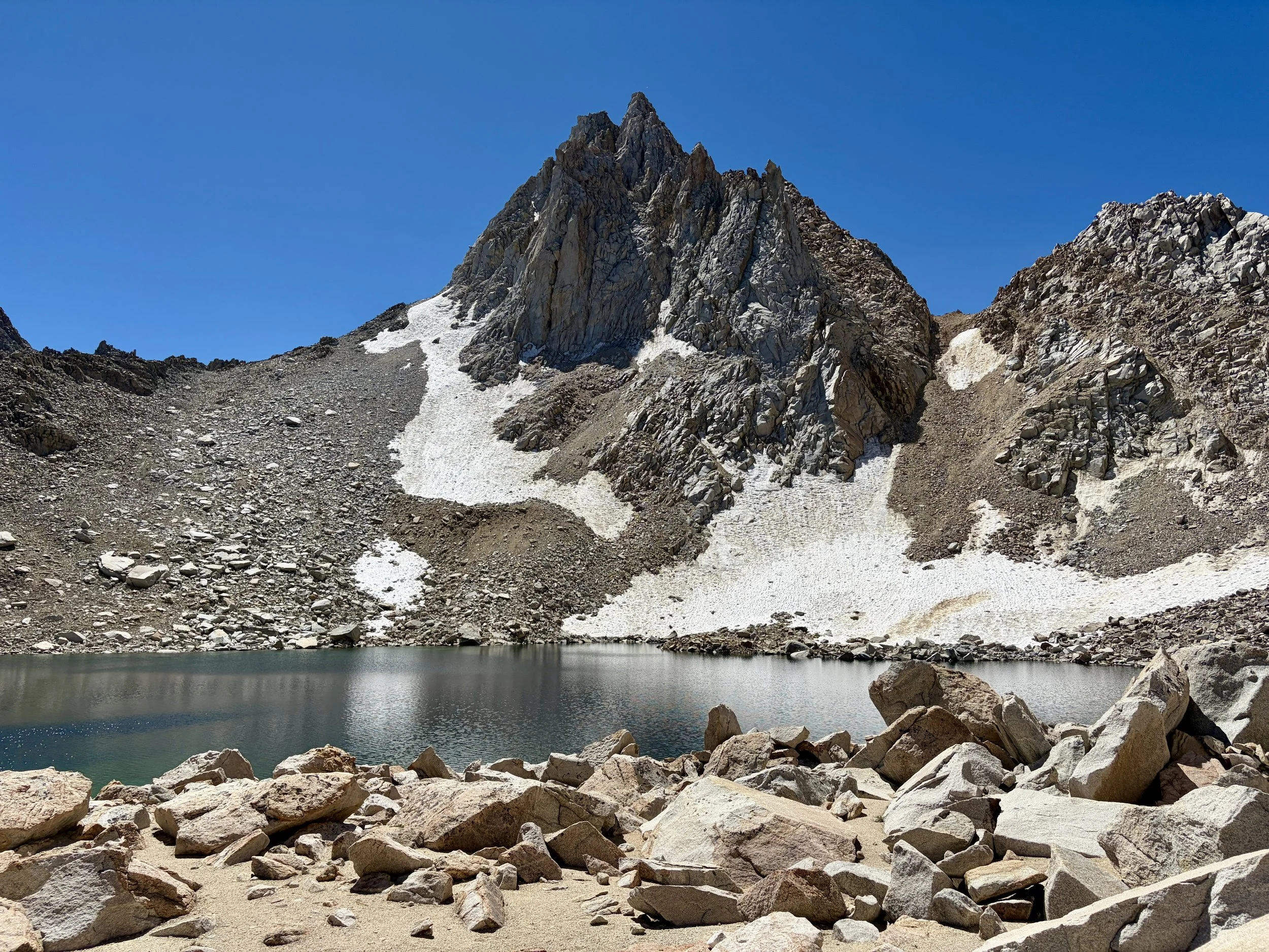
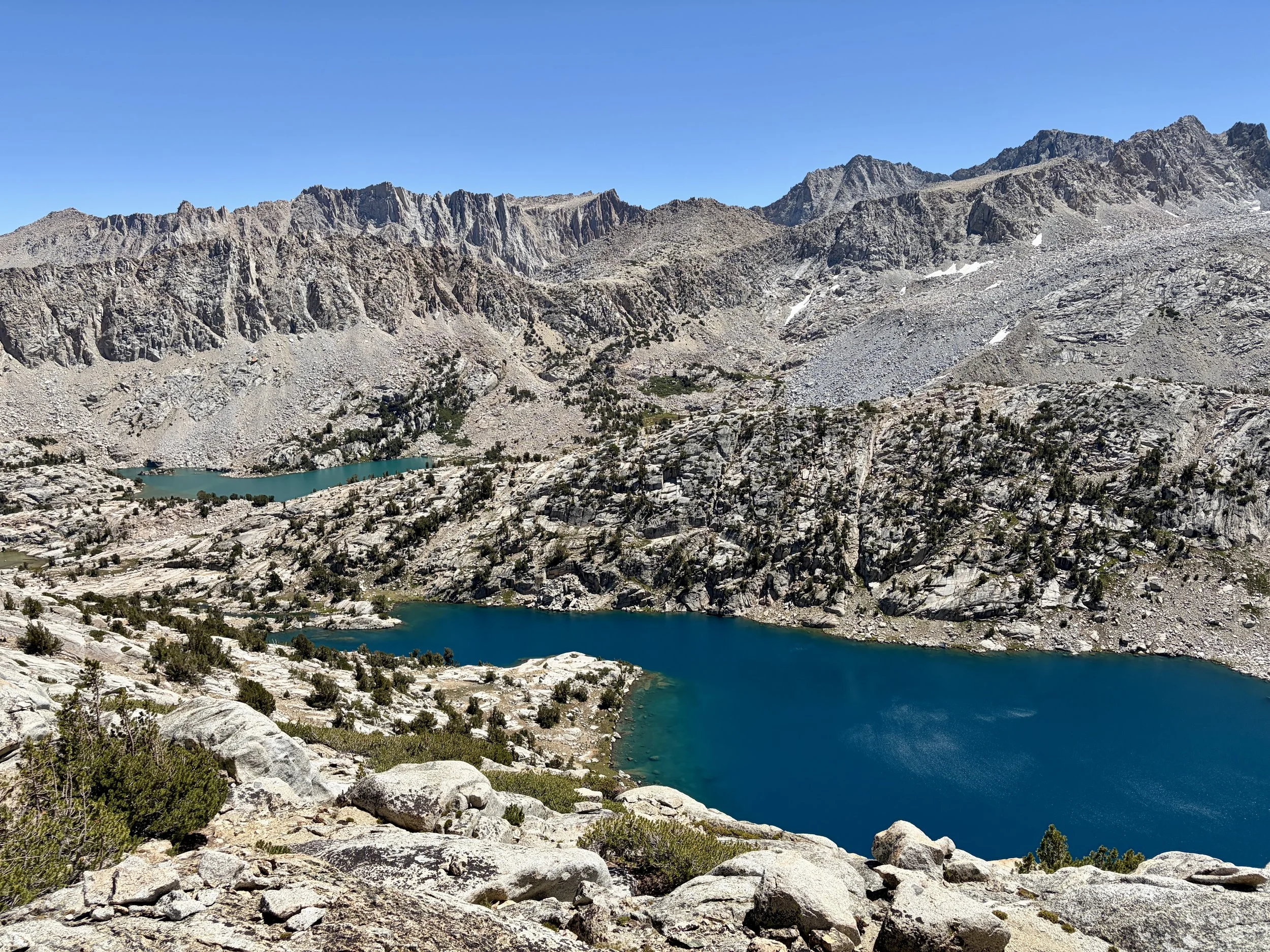
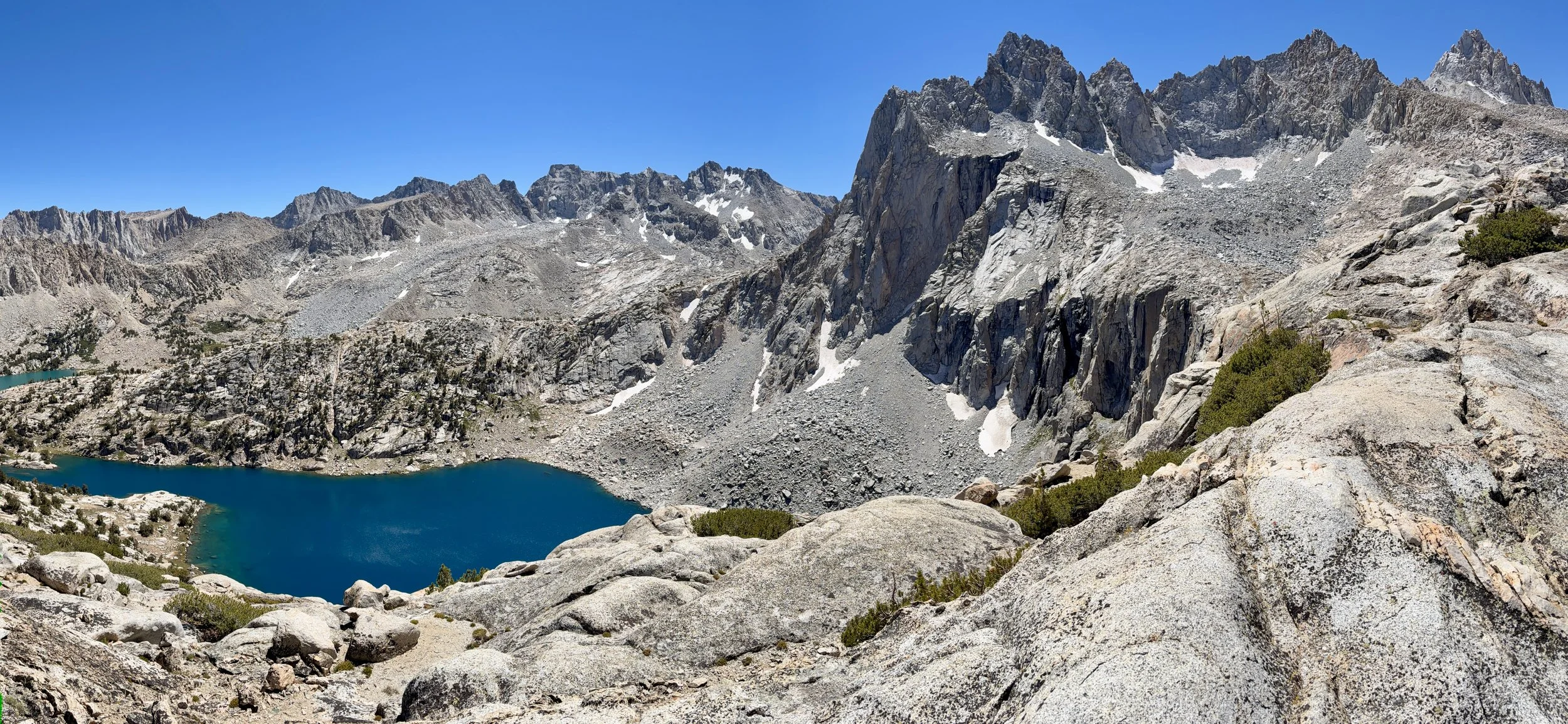
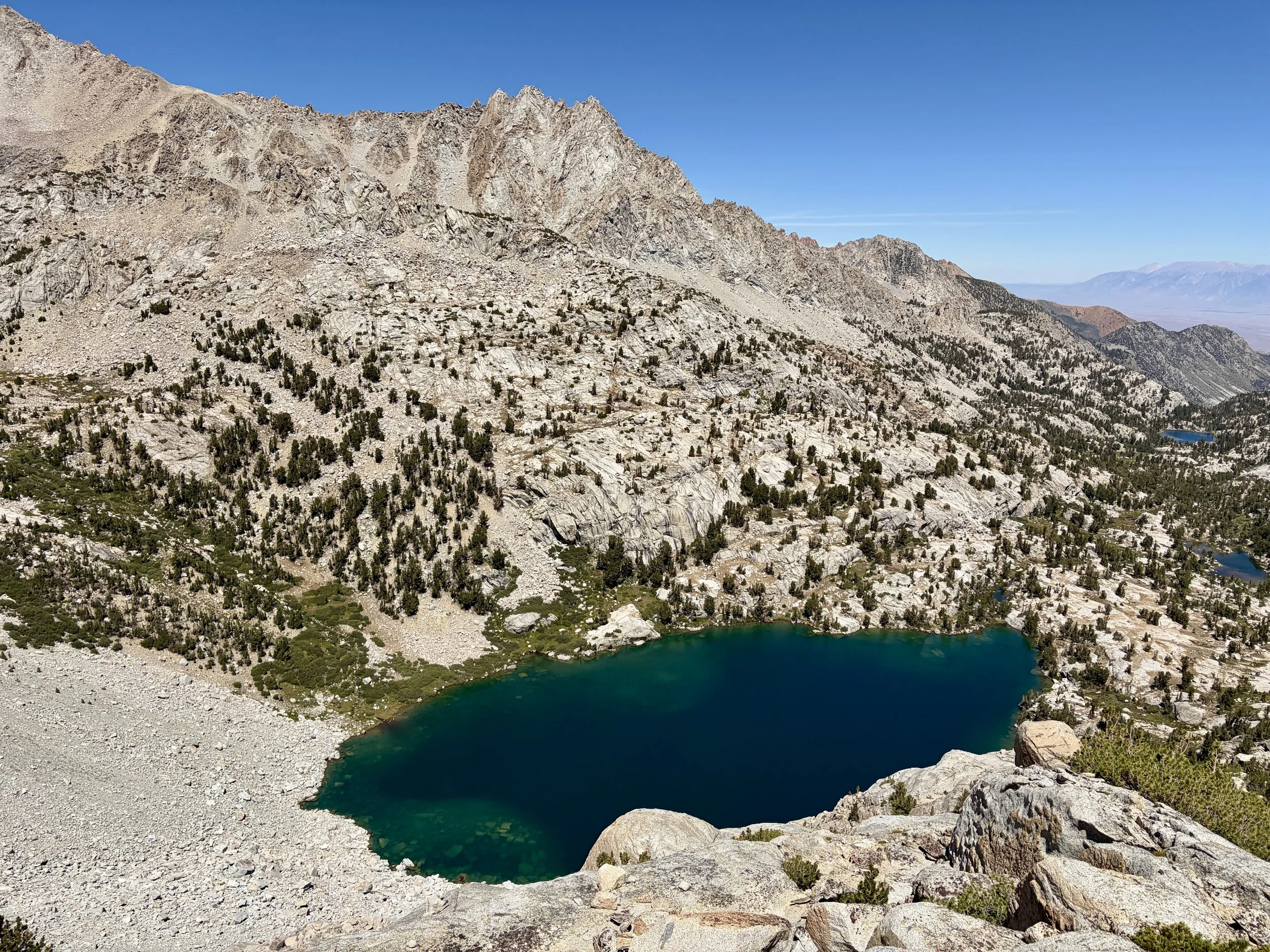
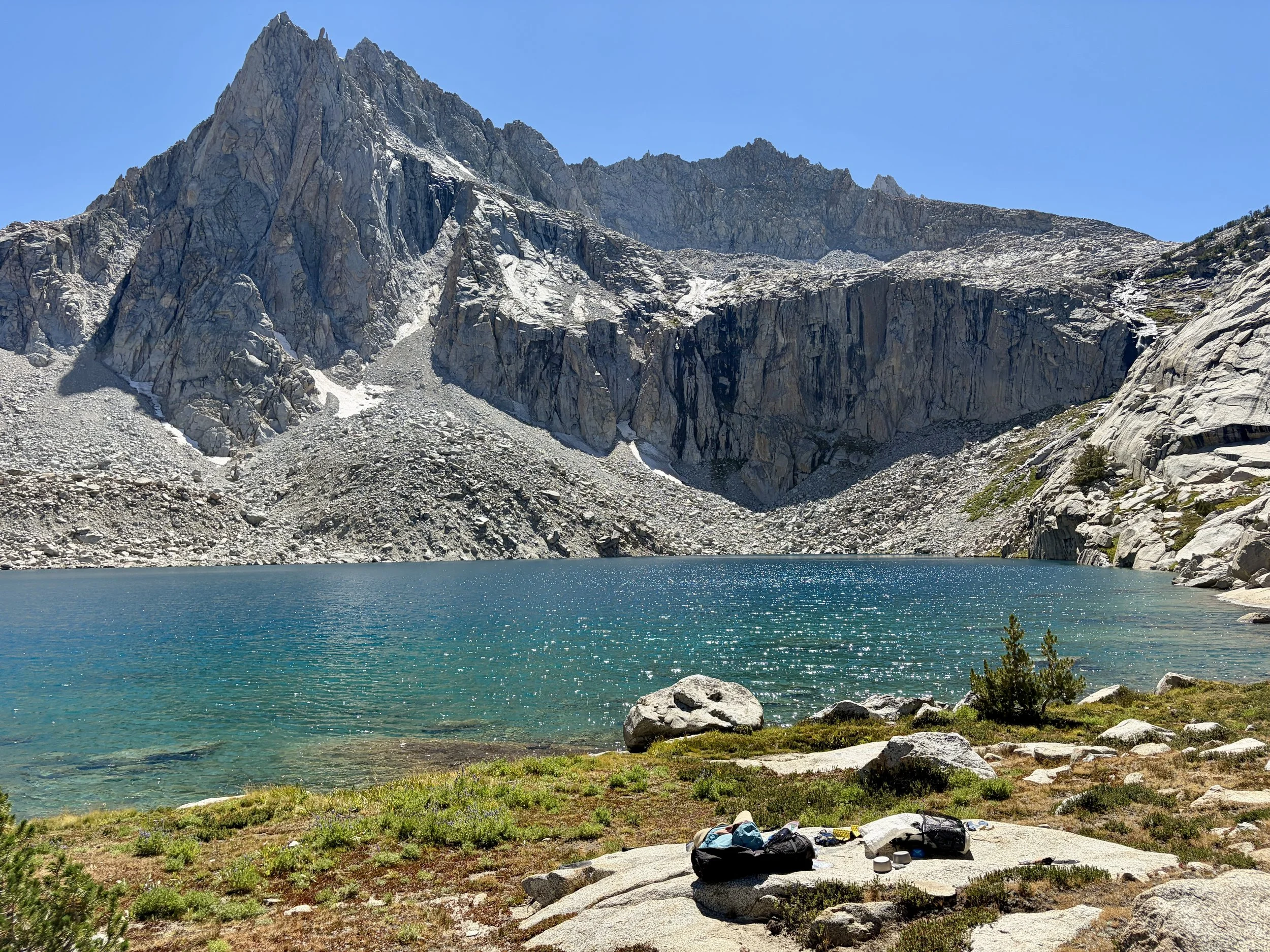
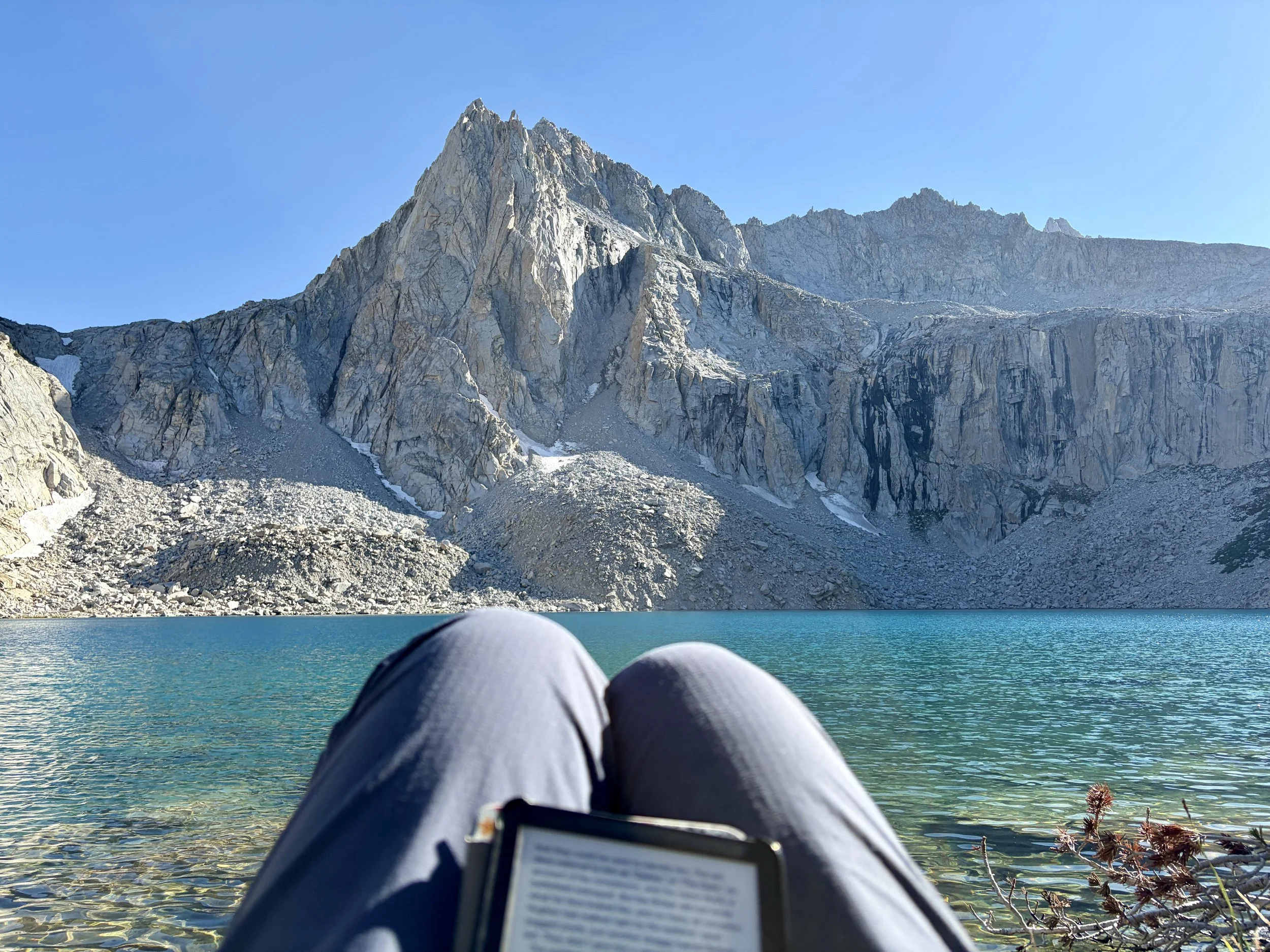
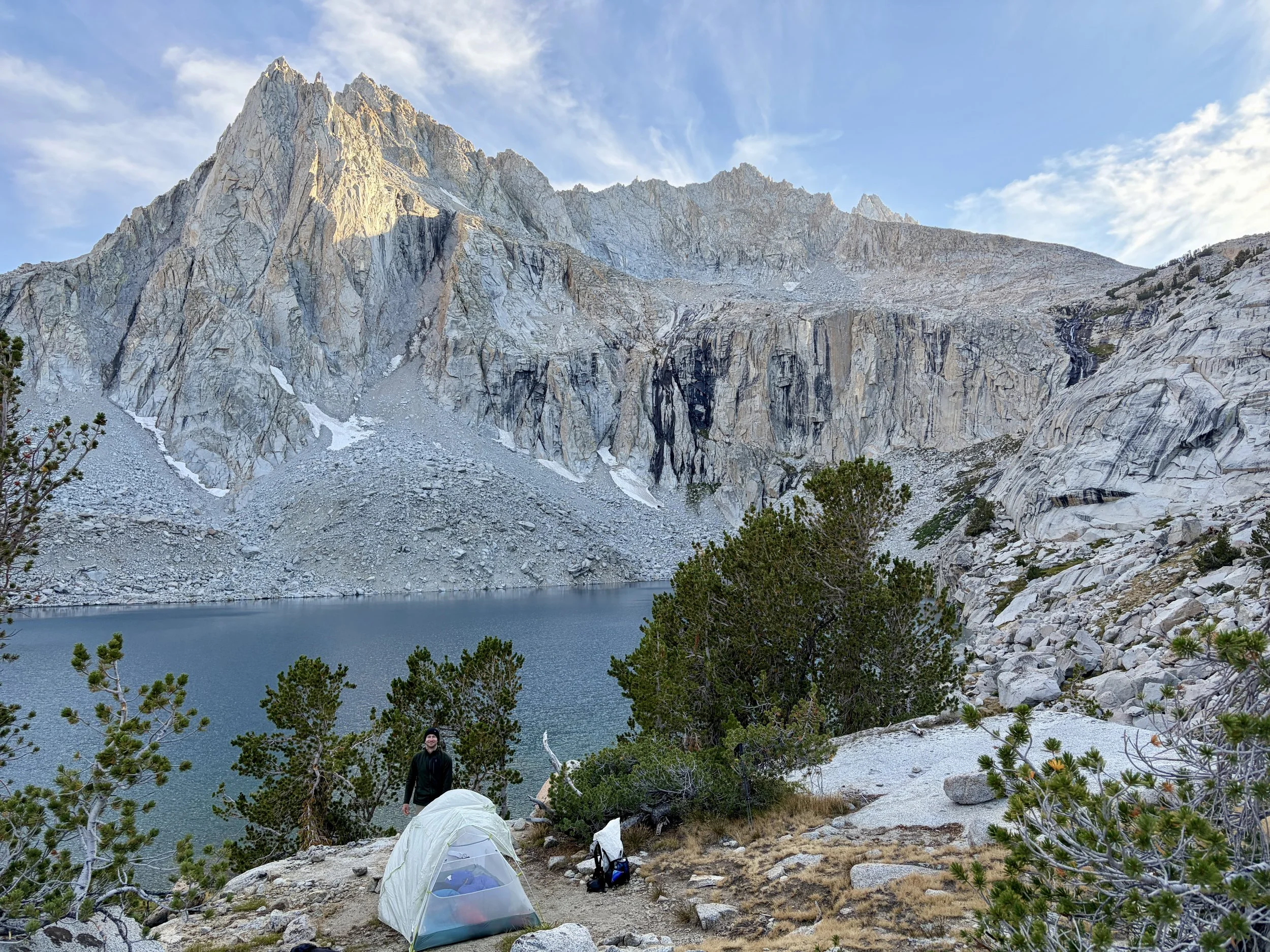
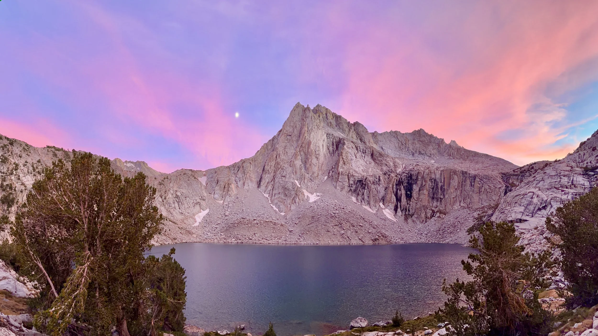
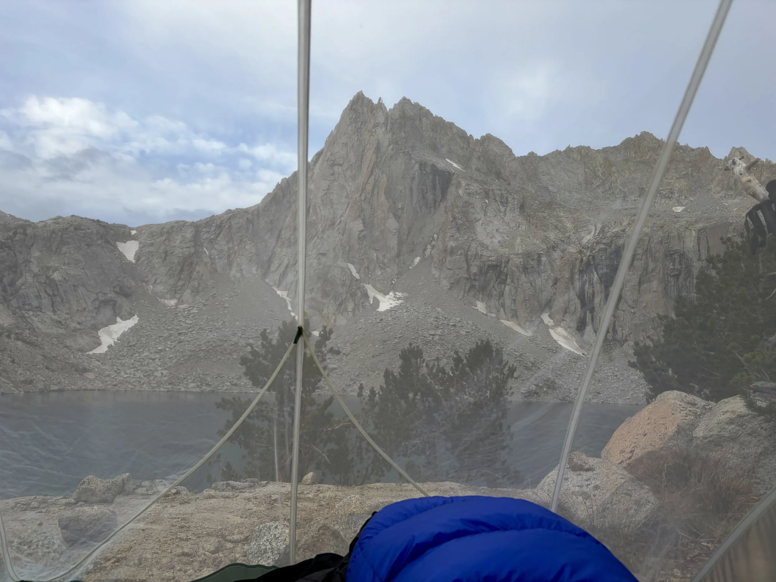
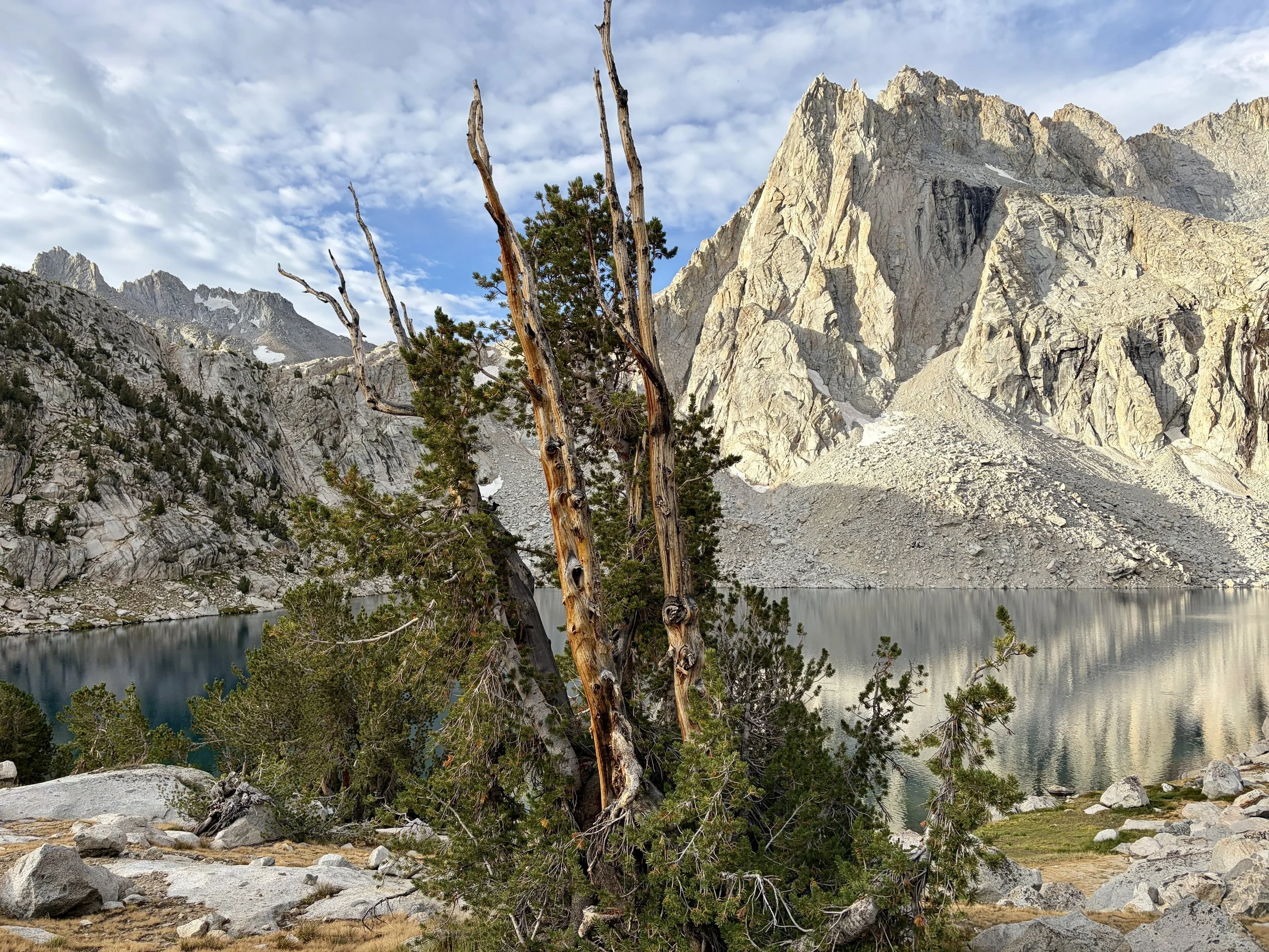
When we got to the lake, we saw a group of 5 tents together at the northeast corner of the lake. We decided to take a site on what felt like a peninsula that put the other group totally out of view. We didn’t hear them at all that night. The views from this campsite were amongst my favorite of the trip. Picture Peak definitely lives up to its name and there is also a pretty, cascading waterfall lookers right of the peak that was nice to listen to. We found a nice rocky shelf to jump off of into the lake and enjoyed what would be our last lake dip of the trip. We enjoyed another beautiful sunset at this lake and discussed plans for the next day. Originally, our plan had been to camp at another lake in the broader Sabrina Lakes Basin on night 6. With how perfect the trip had gone so far and how difficult it would be to find a prettier lake to end the trip at, we decided to cut the trip a night short. Both of our cups were totally full at this point and heading back to the van and a shower at this point felt quite welcome.
Day 5 Stats: 3.09 miles, +1593 ft of elevation gain, -1892 ft of elevation loss
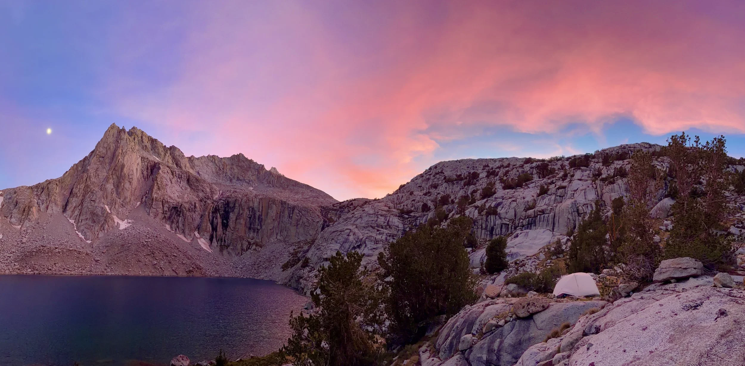
Another stunning sunset
Day 6
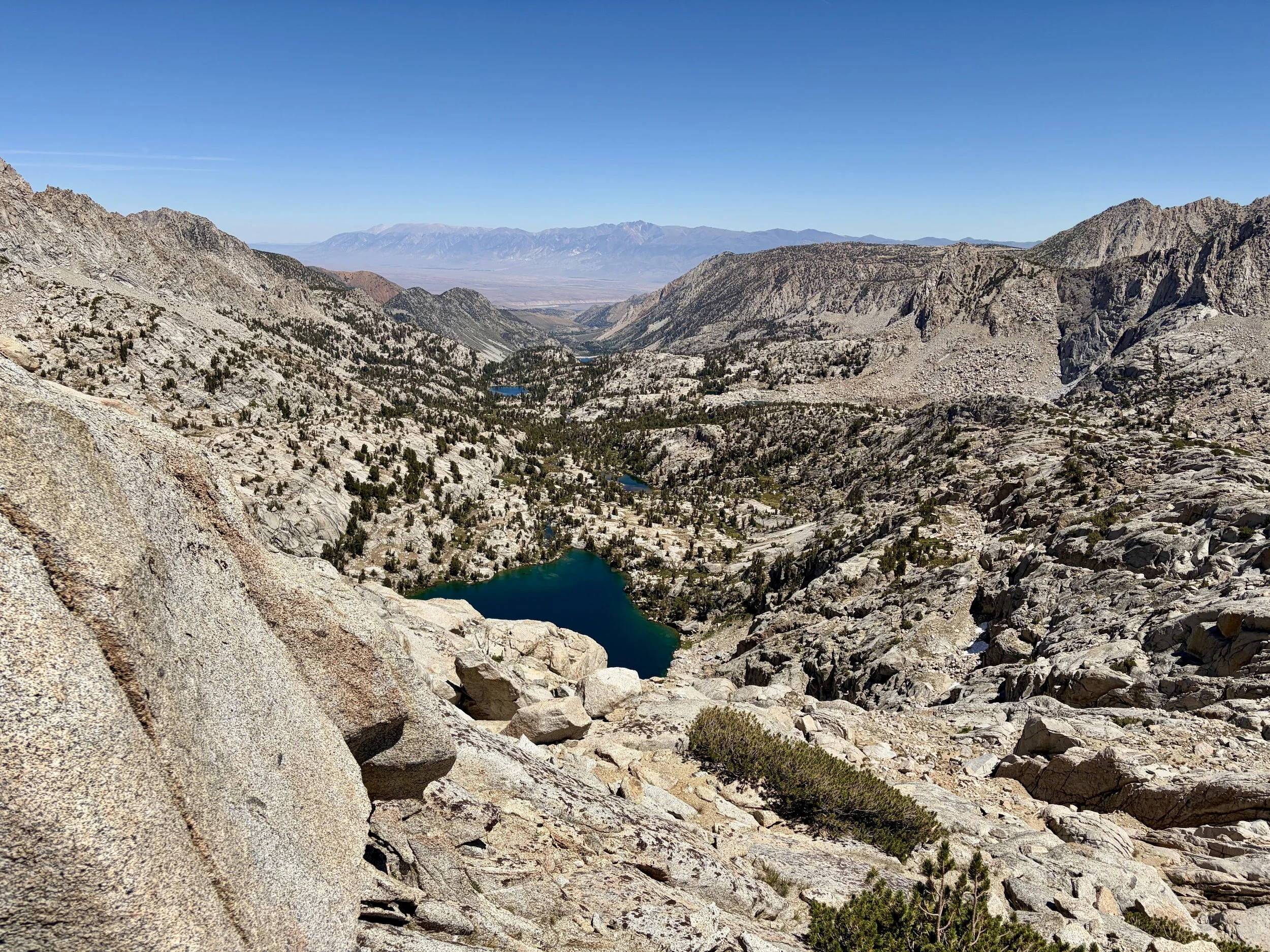
We woke up a little after sunrise, as we had most mornings on this trip, and took our time packing up camp and enjoying a leisurely breakfast by the lake. Our plan would be to head to Sabrina Lakes trailhead that day. As we left Hungry Packer Lake, we decided to take a short detour to Moonlight Lake, which was another gorgeous lake. We then continued down to Sailor Lake, and it was unexpectedly my favorite lake of the day as it was much more beautiful than I thought it would be based on looking at the map. It was a good reminder that you don’t really know what things will look like until you actually go see them. We were surprised to find no one else camped at either of these 3 lakes, and the group of 5 tents was gone before we left Hungry Packer that morning. We were wondering where everyone was.
That question quickly got answered as we approached Dingleberry Lake. We found a few groups there, some with impressively large tents, and ran into a few large day-hiking groups. Things got busier as we approached Blue Lake. We must have passed 20-30 people that were hiking in to the basin with backpacking gear and another 20 people that were day hiking. BUSY! This solidified our decision that it was a good idea to skip the last night and head back to the van a night early. We had most lakes entirely to ourselves most nights and that felt like a good way to remember the trip.
It started getting quite warm as we continued to descend to Sabrina Lake. After what felt like 100 switchbacks, we were finally back at the road by Sabrina Lake. Our car was parked at North Lake so we were going to have just under a 3 mile road walk to end the trip. We walked the first half mile on the road and then found a car headed up to North Lake hiker lot that offered us a ride. We started talking to the two women in the car that picked us up, and they were telling us how they had a permit for 3 people about a week earlier to do a Lamarck Lakes trip, but had to cancel for some reason and delayed the trip by a week and would be starting today instead. I told them how I picked up two permits for Lamarck Lakes less than 2 weeks ago when it showed there were 3 permits left. We can’t say for sure, but we realized there was a good chance that Mike and I reserved the women’s cancelled permits. What are the chances we’d hitchhike and catch a ride to end the trip with the people that made the trip possible for us?!
Day 6 Stats: 8.15 miles, +718 ft of elevation gain, -2793 ft of elevation loss
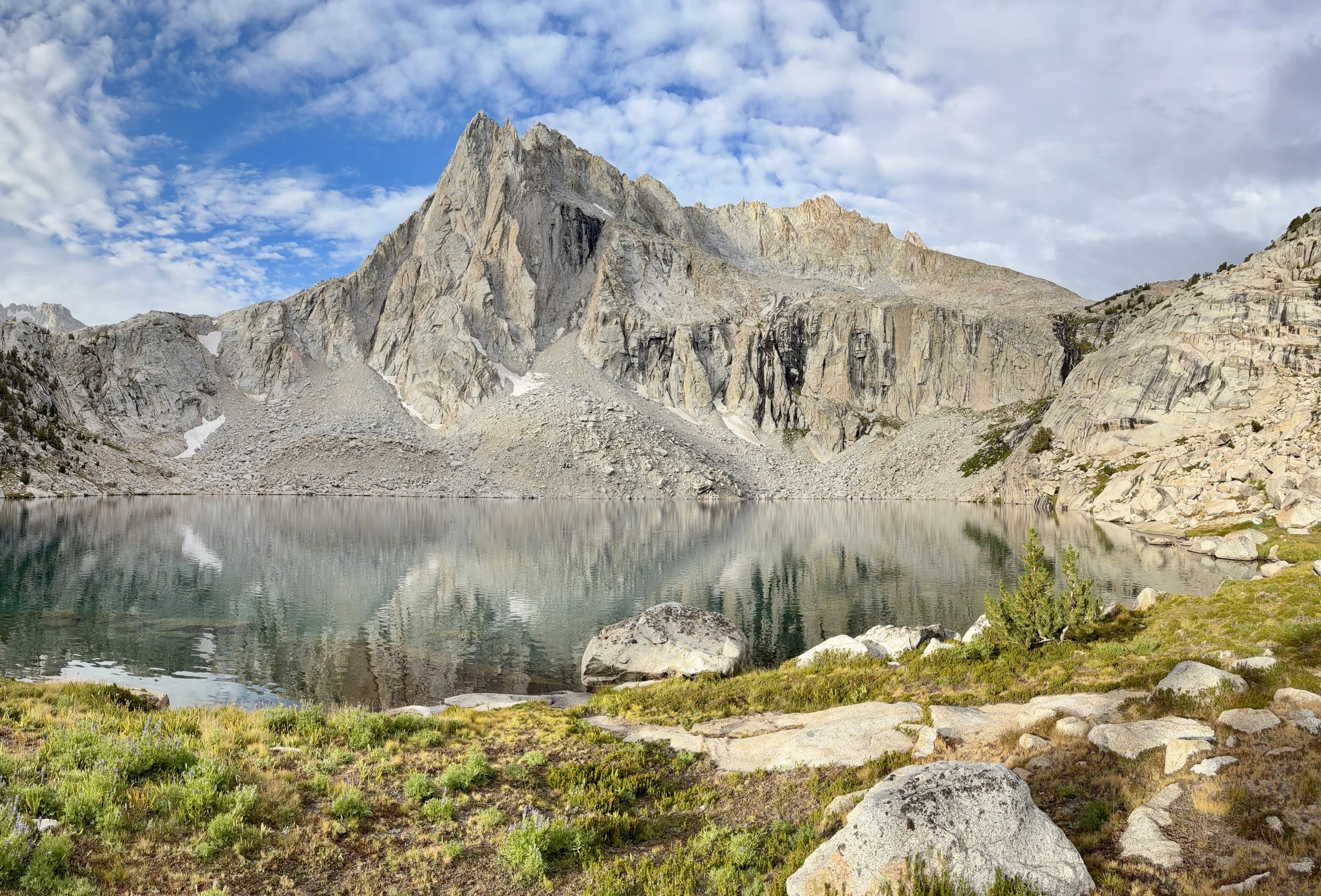
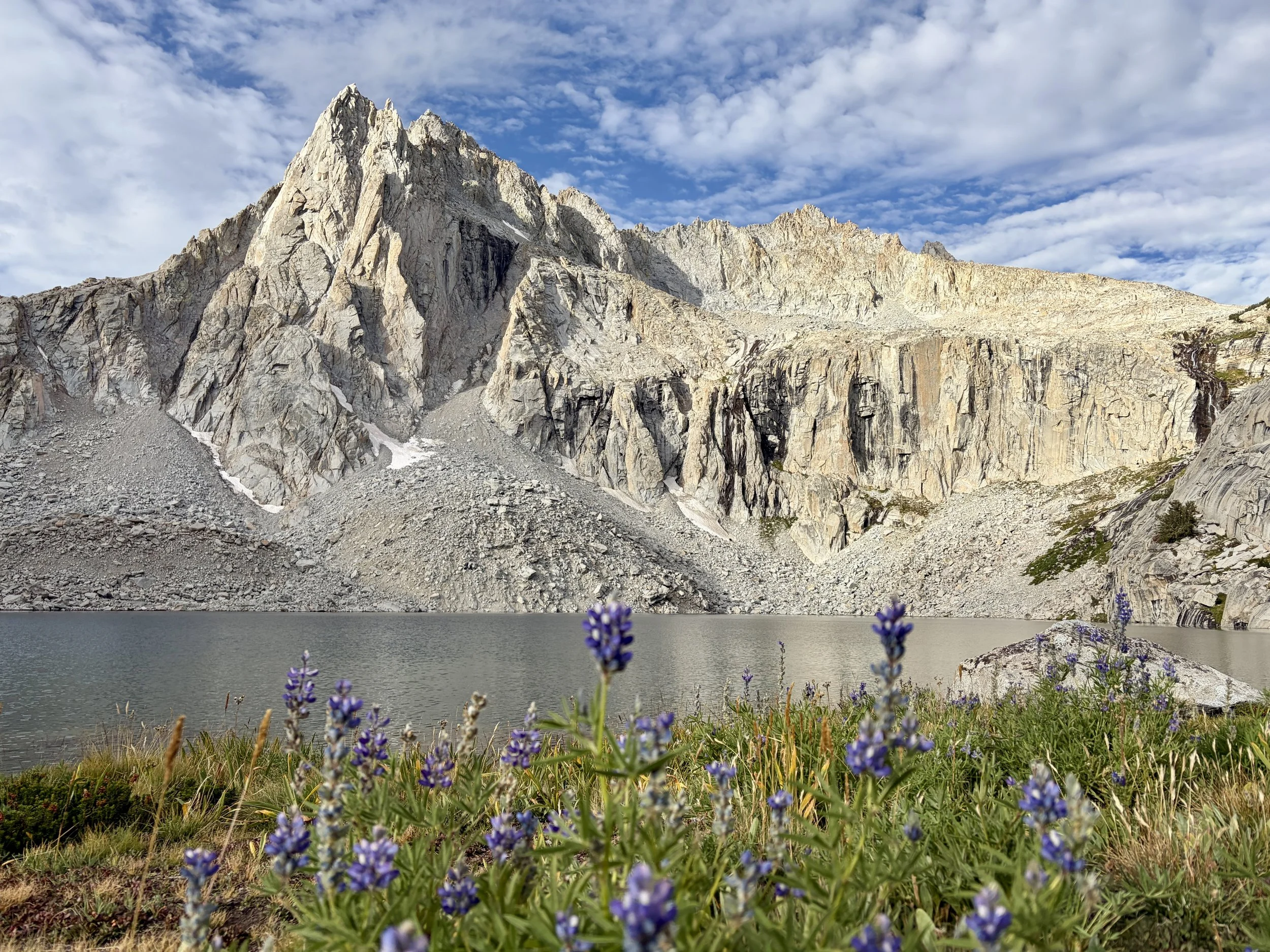
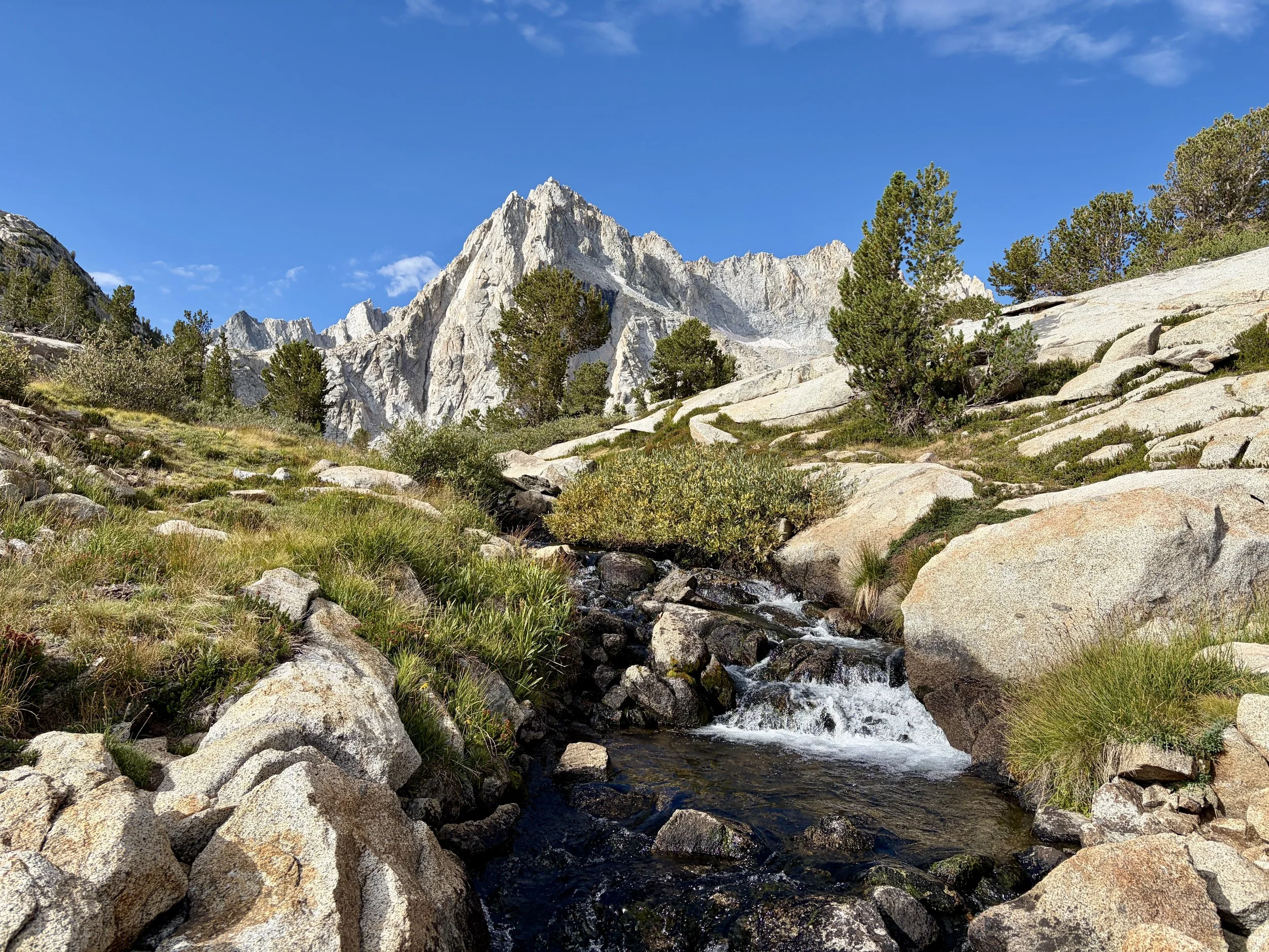
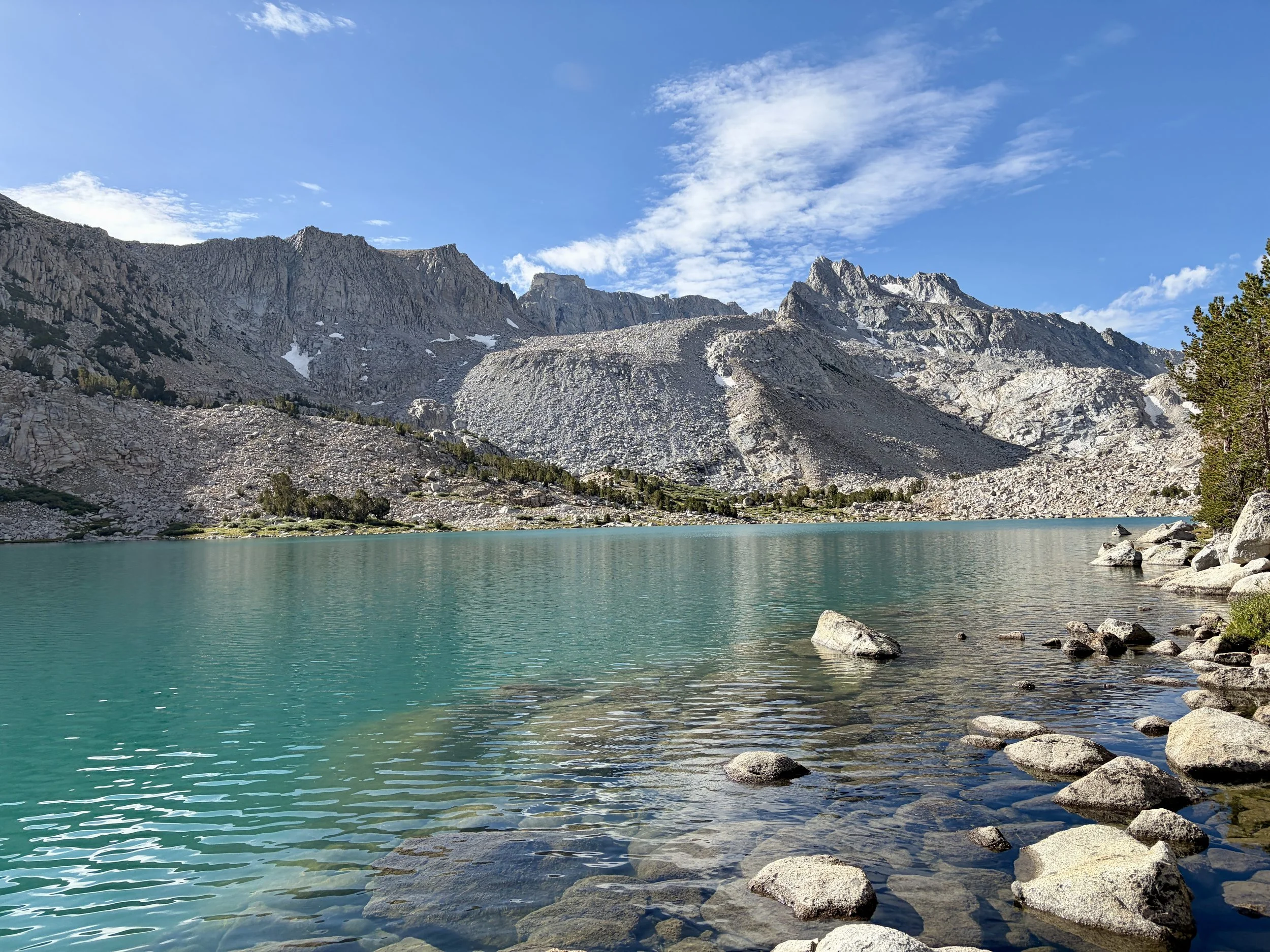
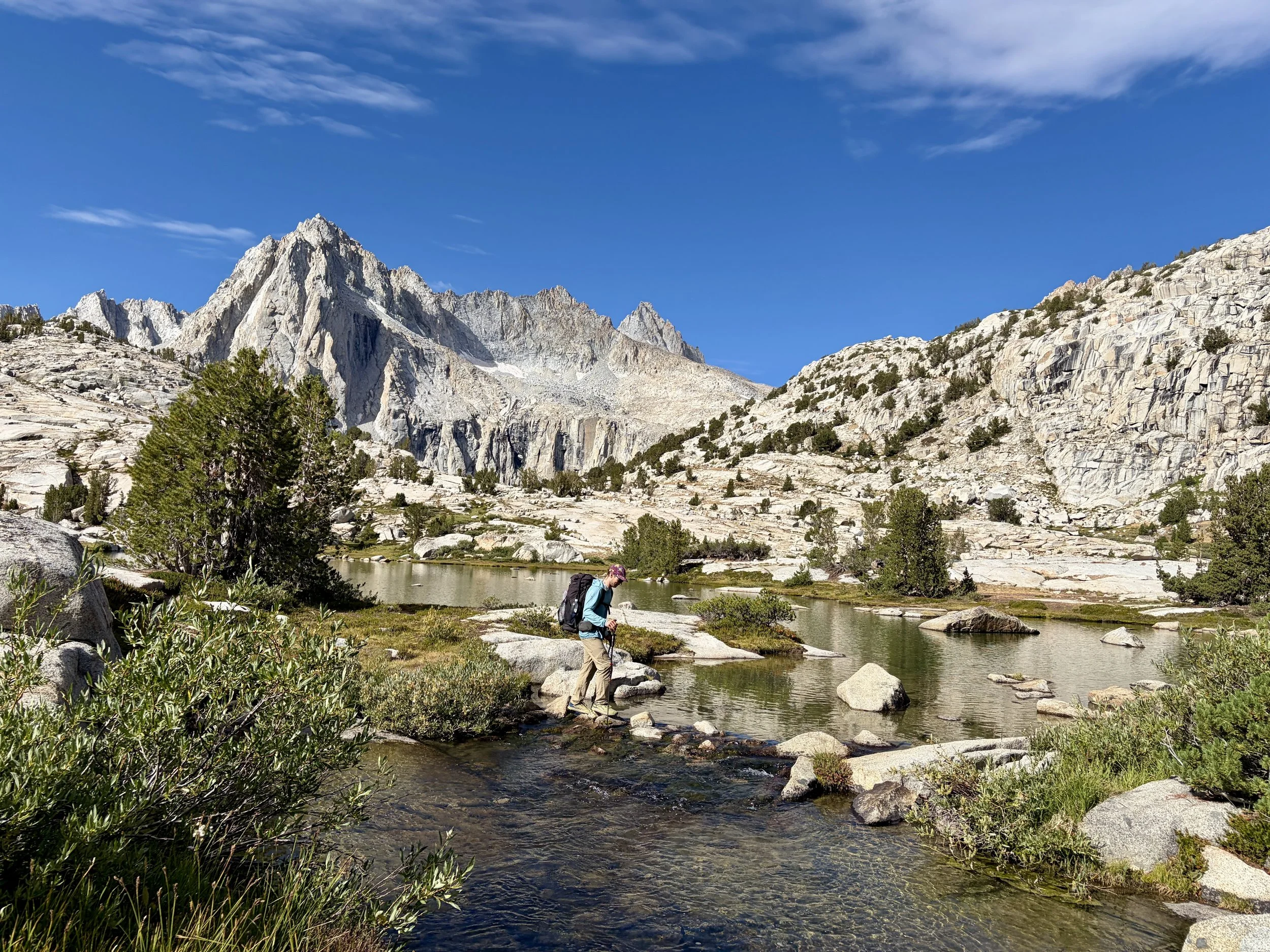
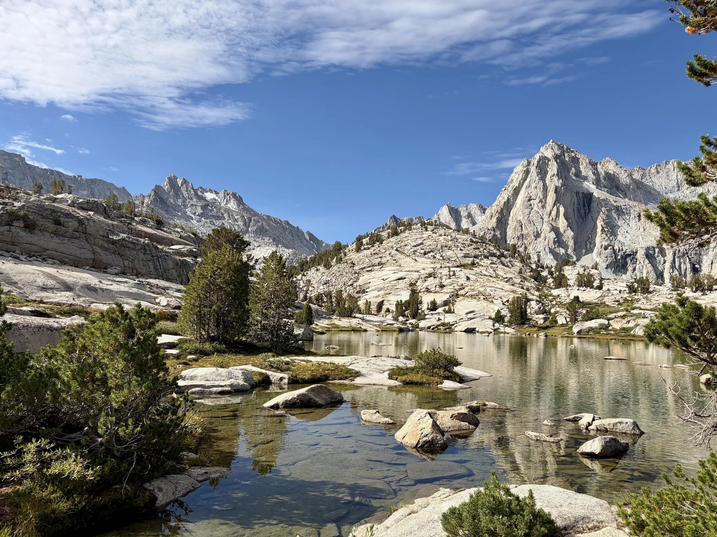
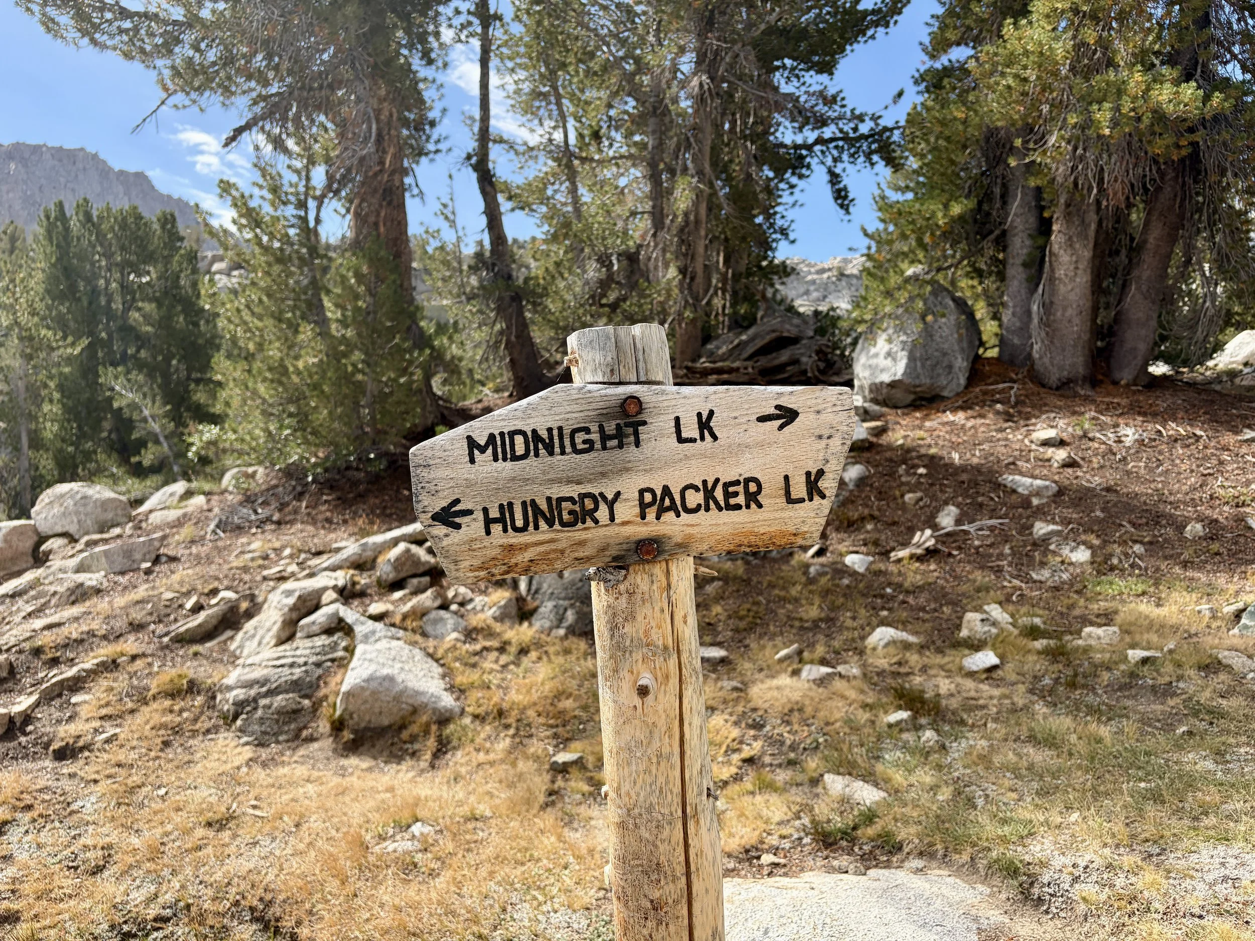
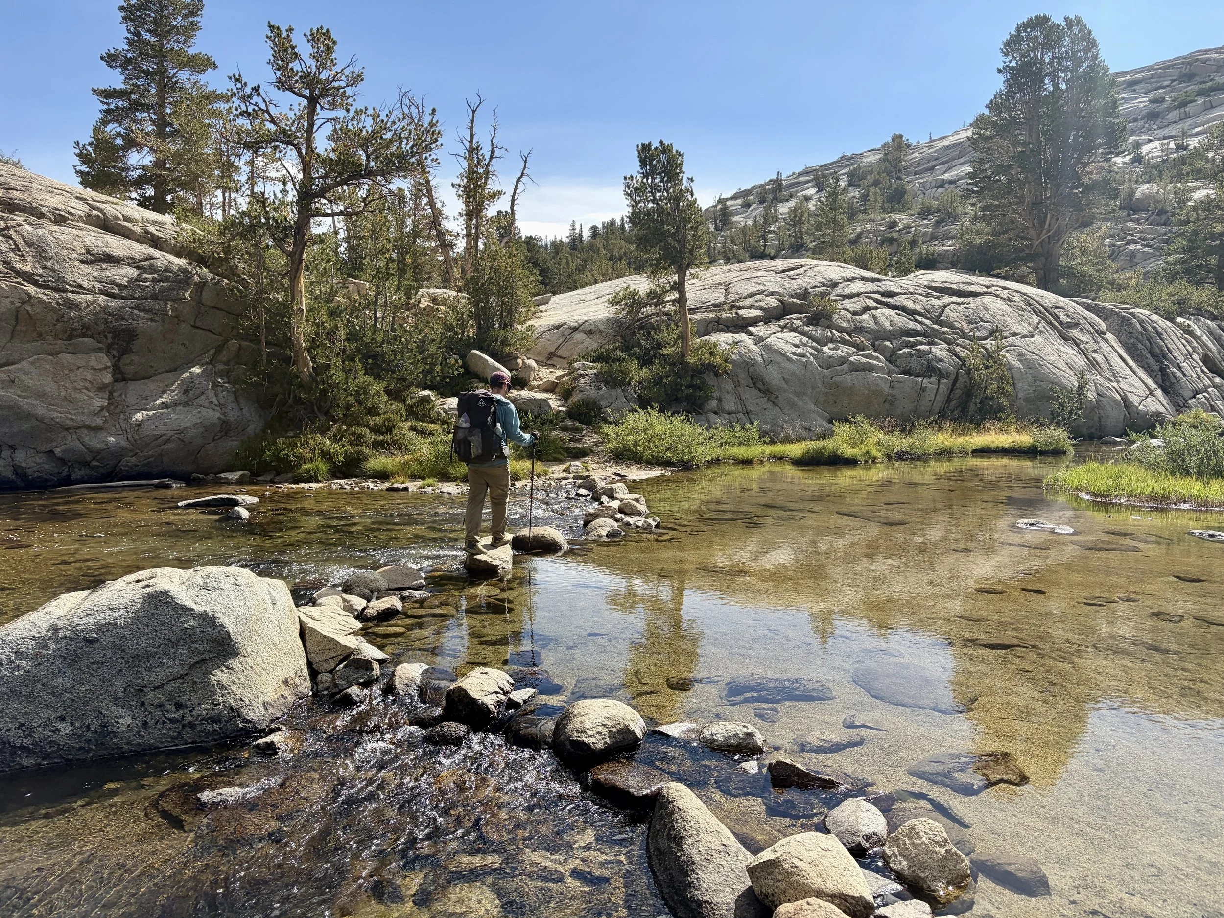
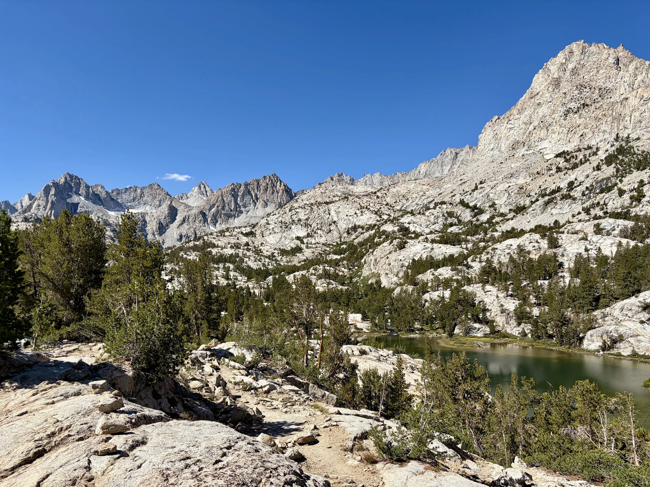
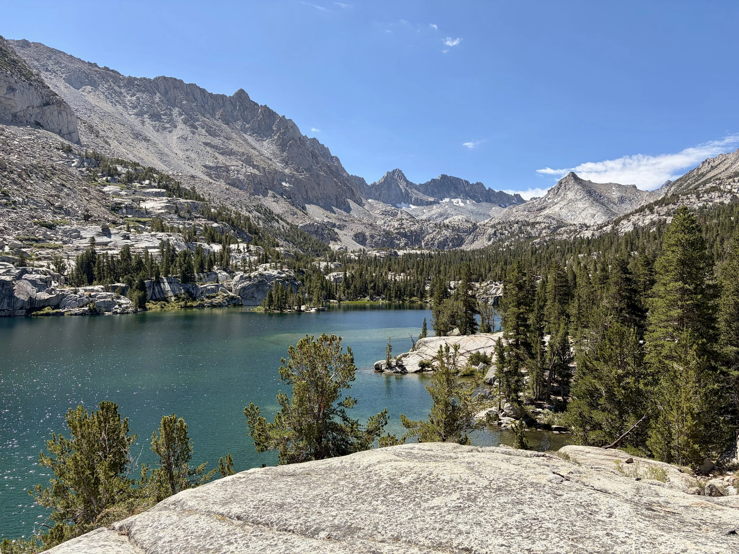
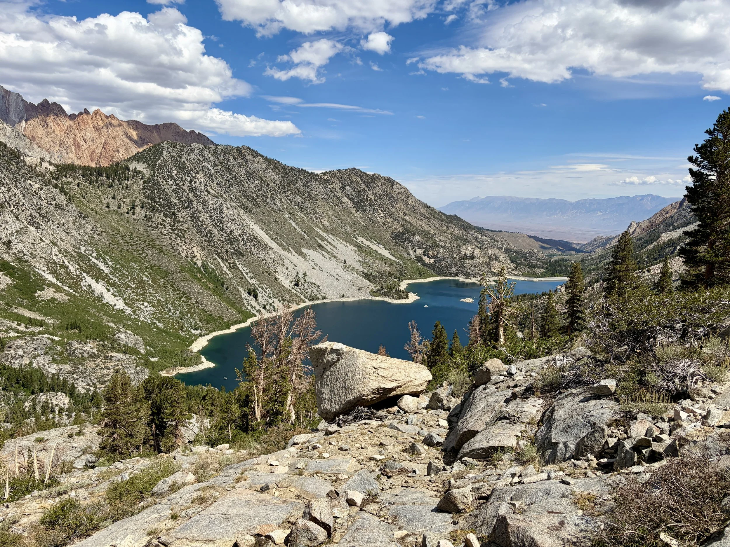
Overall, I loved this trip. Each of our campsites offered stunning views, and we found tremendous solitude on the off-trail segments of our trip. I’ve never seen so many beautiful lakes in a six day span in my life. I can’t wait for my next backpacking trip in the Sierra.
Total stats: 43 miles, +12,950 ft of elevation gain, -13,285 ft of elevation loss
Gear List
Map: Sequoia and Kings Canyon National Parks Map
Compass: SUUNTO M-3 Compass
Emergency Communication Device: Garmin inReach Mini 2 *requires a subscription
First Aid Kit: Adventure Medical Kit *I have added items to this kit and would recommend tailoring a medical kit to your needs
Lighter: BIC Lighter
Emergency Blanket: SOL Emergency Blanket
Shell/Rain Jacket: REI Co-op XeroDry GTX Jacket
Headlamp: Black Diamond Equipment Spot
Multi Tool: Leatherman Squirt PS4 Multi Tool
Tent: Big Agnes Copper Spur UL
Tent Footprint: Big Agnes Footprint for Copper Spur UL
Backpack: Hyperlite Mountain Gear Junction 55
Water Filter: Sawyer Squeeze Water Filtration System
Stove: MSR PocketRocket 2 Ultralight Stove
Fuel: Jetboil Jetpower Fuel
Kettle: MSR Titan Ultralight Titanium Backpacking Kettle
Water Bottle: Platypus DuoLock SoftBottle Flexible Water Bottle
Spork: Sea to Summit Frontier Ultralight Long Handle Spork
WAG bags for human waste: Cleanwaste WAG bags
Sleeping Pad: Sea to Summit Ether Light XT
Pillow: Sea to Summit Aeros Premium Inflatable Travel Pillow
Sleeping Bag: Western Mountaineering Ultralite 20 Degree Sleeping Bag
Shirt: Patagonia Capilene Cool Daily Hoodie
Pants: Black Diamond Womens Alpine Light Pants
Socks: Darn Tough Hiker Micro Crew Midweight Sock with Cushion
Underwear: Smartwool Intraknit Hipster Bikini
Sunglasses: Smith Lowdown Slim 2
Cap: Coal 5 Panel Cap
Toothbrush: GUM Travel Toothbrush
Toothpaste: SuperBee Dentos Toothpaste Tablets
Hairbrush: Folding Hairbrush
Body Wipes: Pampers Sensitive Water Based Hypoallergenic and Unscented Baby Wipes
Trekking Poles: REI Co-op Flash Carbon Compact Trekking Poles
Camp shoes: Xero Shoes Women’s Z-trail Ev
Mug/cup: GSI Outdoors Infinity Backpacker Mug
Towel: REI Co-op Multi Towel Mini
Power Bank: Nitecore NB10000 Gen II Ultra-Slim Power Bank
Packing Cubes: Eagle Creek Packing Cubes
Chair: Helinox Chair Zero Ultralight Compact Camping Chair
Mosquito Head Net: Sea to Summit Ultra-Mesh Mosquito Head Net
Knife: LEATHERMAN Skeletool KBX Pocket Multitool with Knife and Bottle Opener
Follow my journey on Instagram