Multi-pitch Climbing Caudill Queen King Route (AKA Memorial Route), Slick Rock, McCall, Idaho
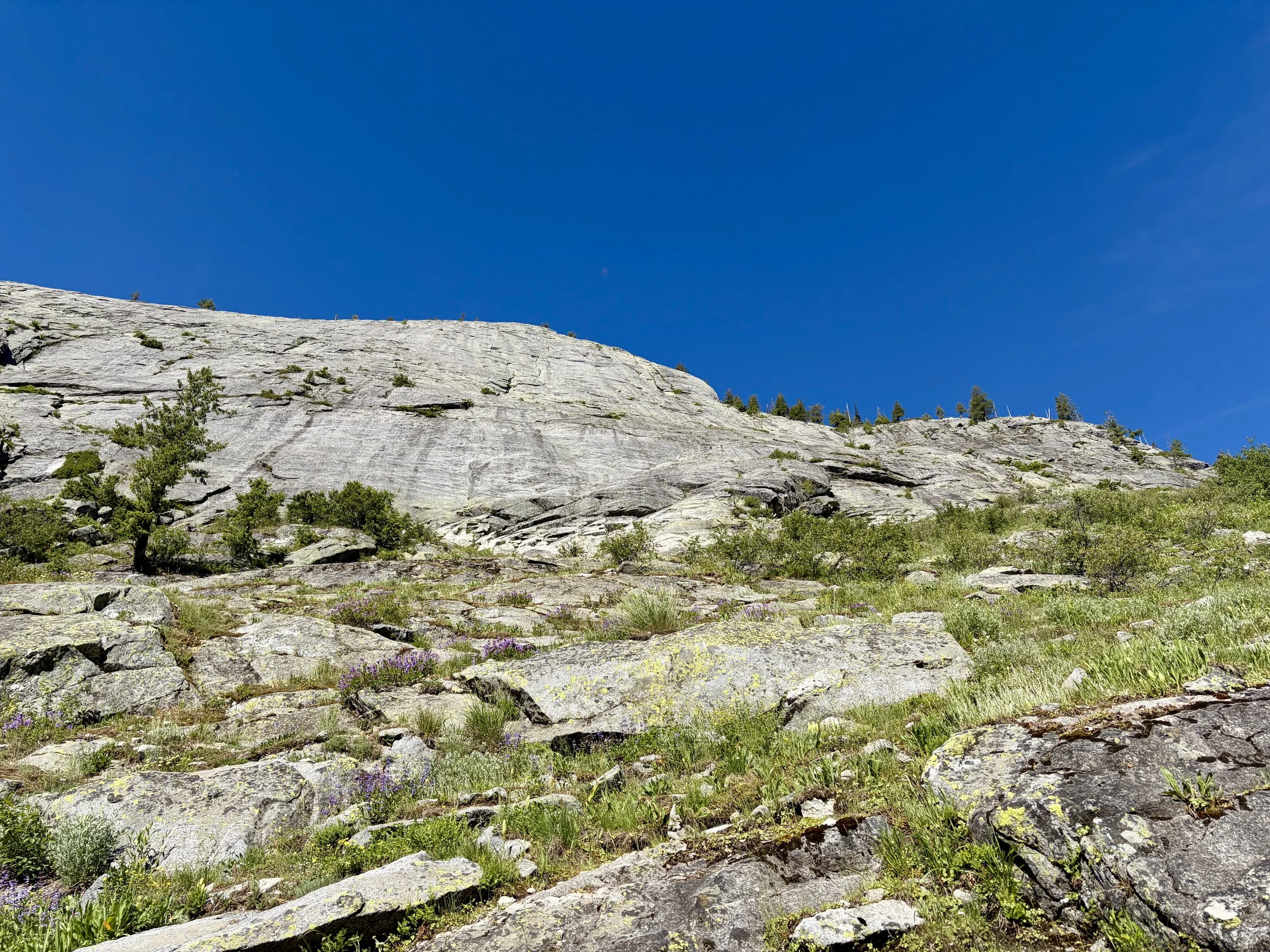
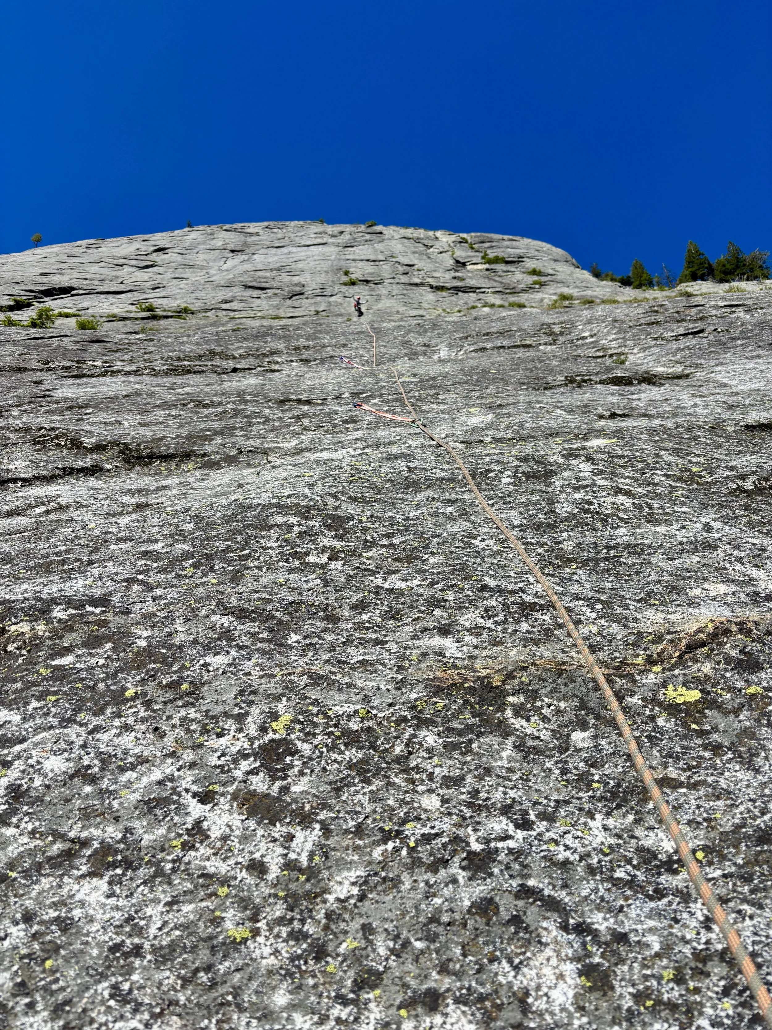
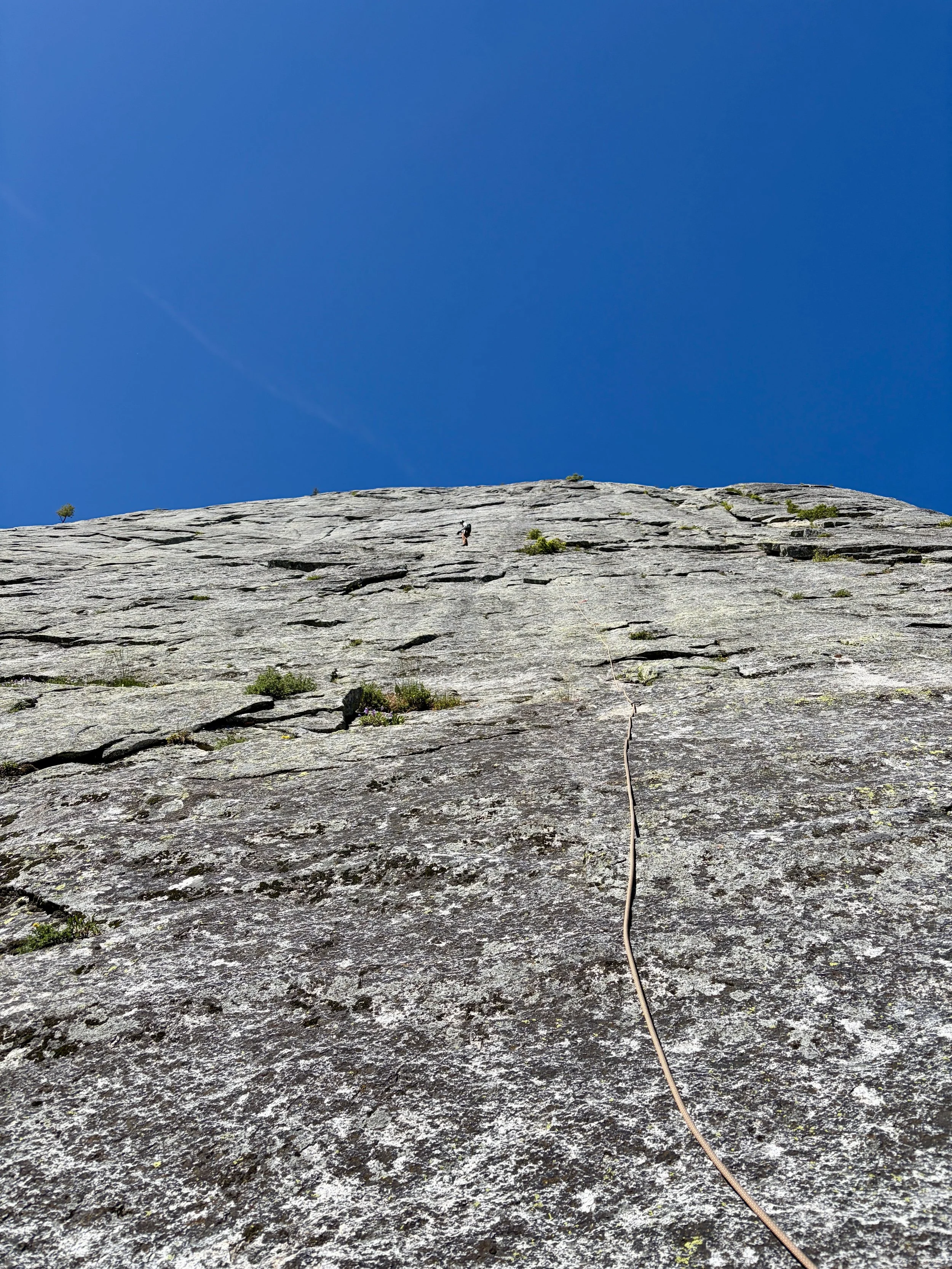
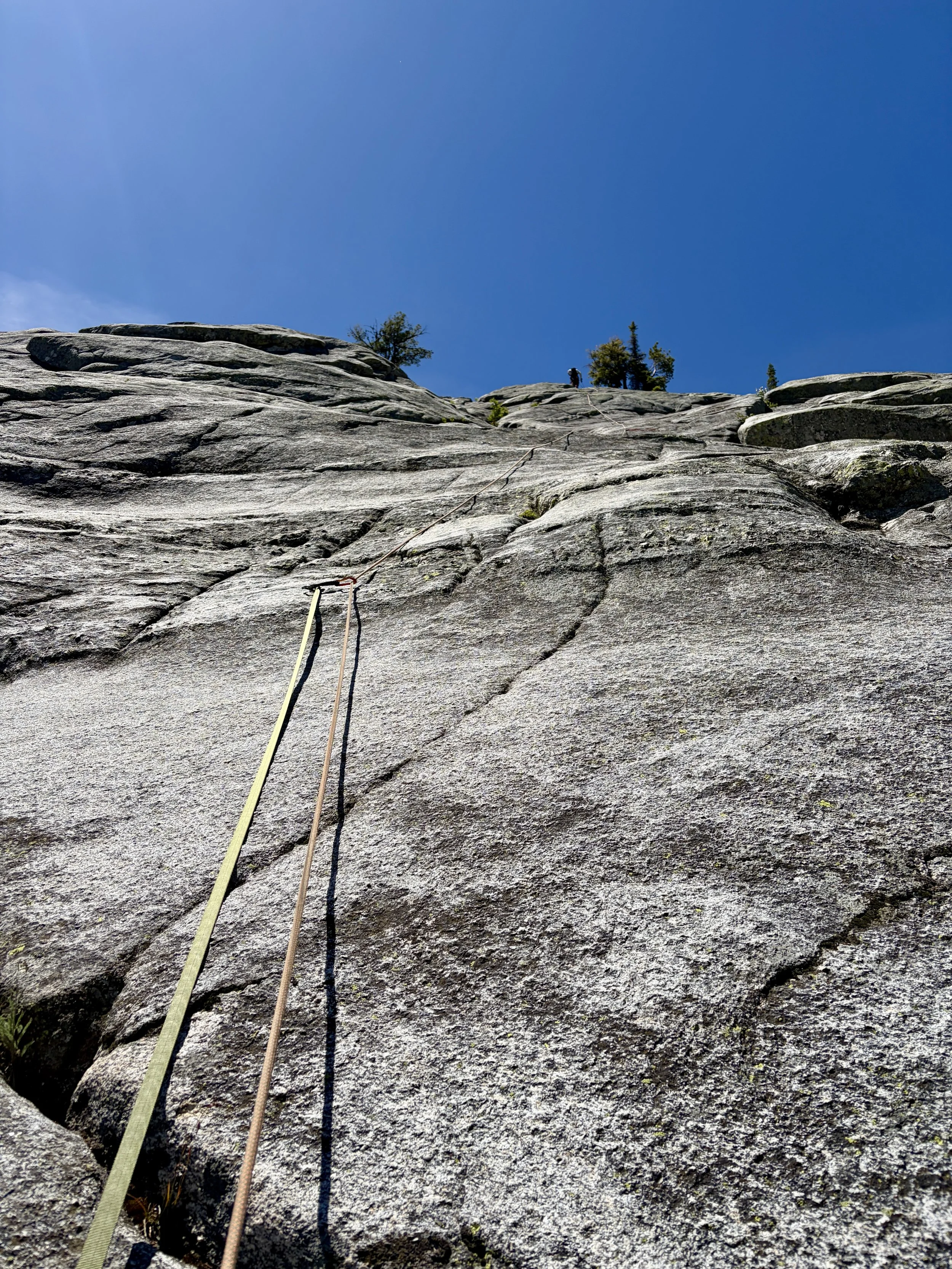
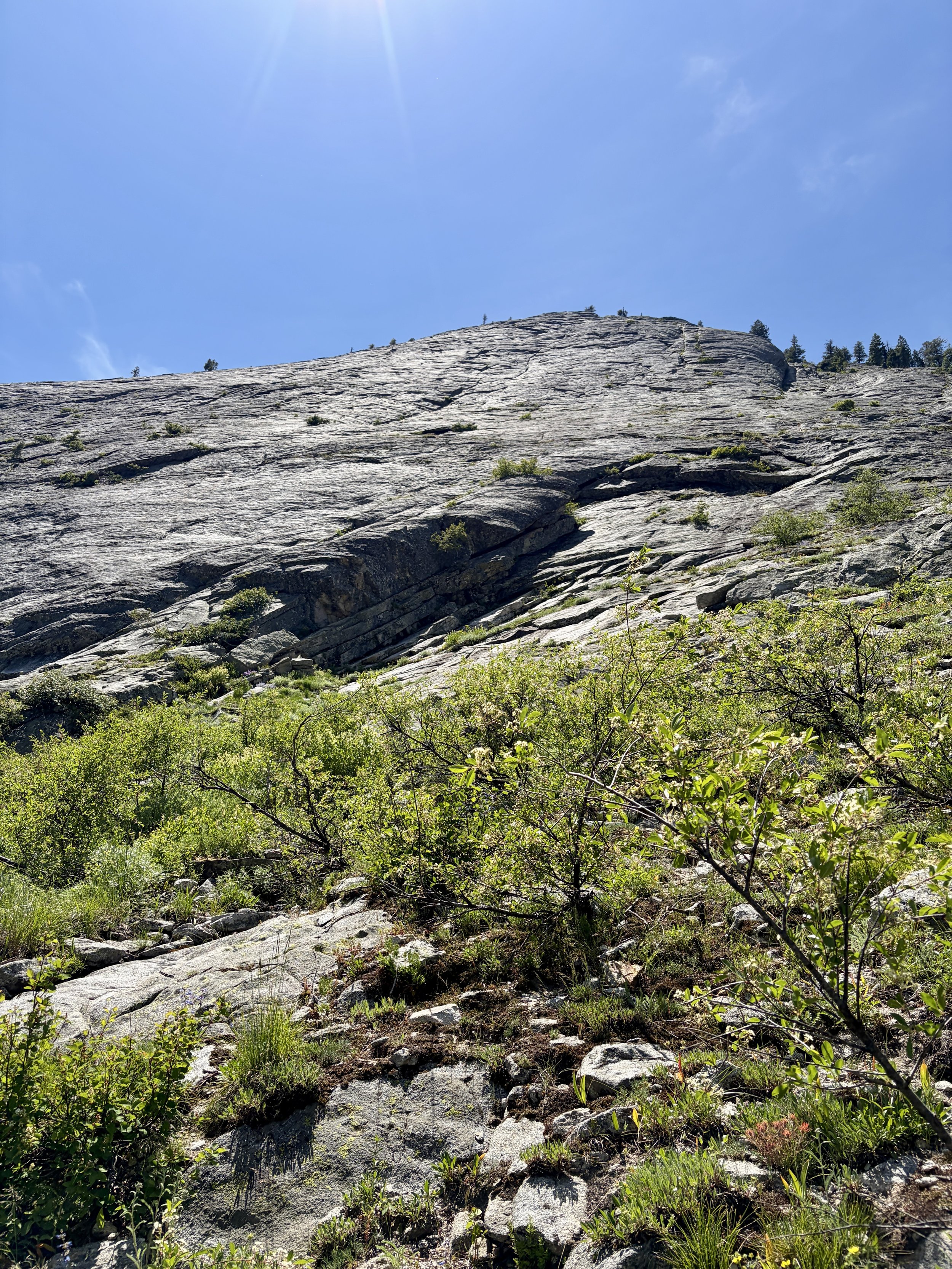
Looking at Slick Rock
Disclaimer: This climb involves rock climbing, which is inherently dangerous. This blog post does not include formal instruction of any kind. Please make sure you have the appropriate skills and knowledge before attempting this outing.
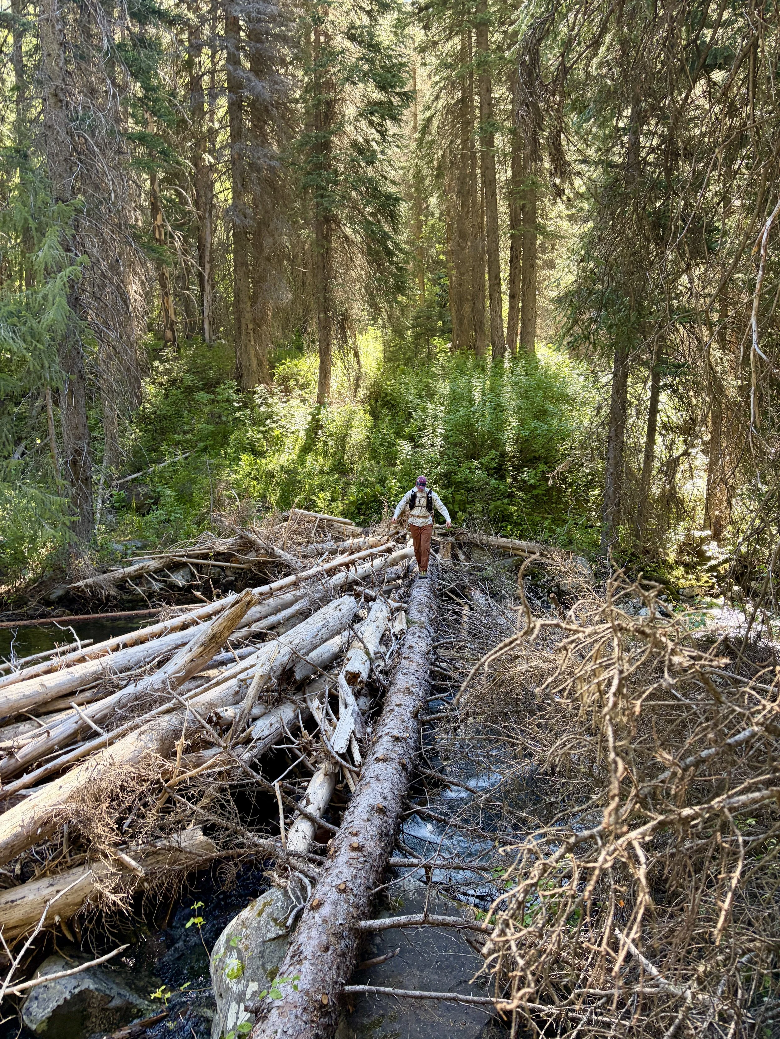
Based on the recommendation from some locals, Mike and I spent a day multi-pitch climbing what is called the Memorial Route (Caudill Queen King Route) in an area called “Slick Rock” in McCall, Idaho. We camped in a campground just a few miles from where to park for the climb the night before. It was a little confusing to us where exactly we should park. There were two parking options. The option that was closer to the start of the climb used to have a log jam that could be used to cross the creek to begin the approach. This log jam is gone and now one would have to ford the river to get across the river in that spot. The ford didn’t look too bad when we checked it out, but the water was extremely cold so we decided to park at the other parking option that didn’t involve getting our feet wet. We parked the car (GPS coordinates: 44.94804, -115.94455) and crossed the river at the log jam. There was a faint social trail to follow, but we shortly found ourselves on some rock benches that had occasional cairns. On our ascent, we made the mistake of gaining elevation too quickly. In hindsight (and the way we exited the route), we should have walked north along these benches near the stream for longer than we did until we hit the old trail. Our route led to us bushwhacking through some thick bushes and trees for what felt like a while, but was probably only 10 minutes. Once we got out of the brush, we picked up a social trail that took us to the base of the route (44.95083, -115.94954).
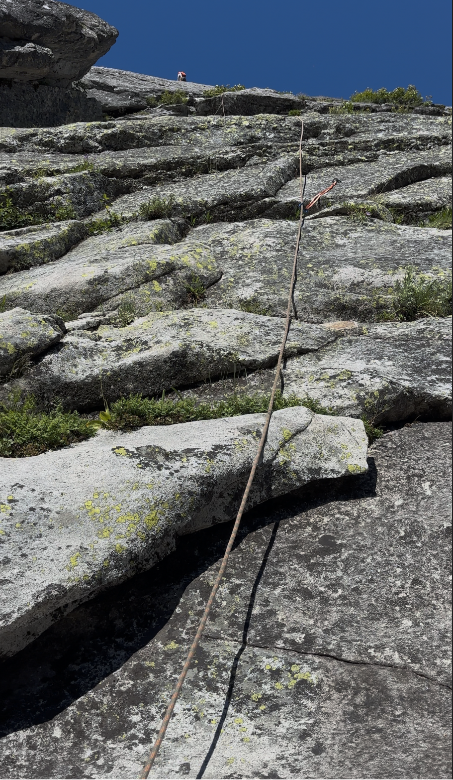
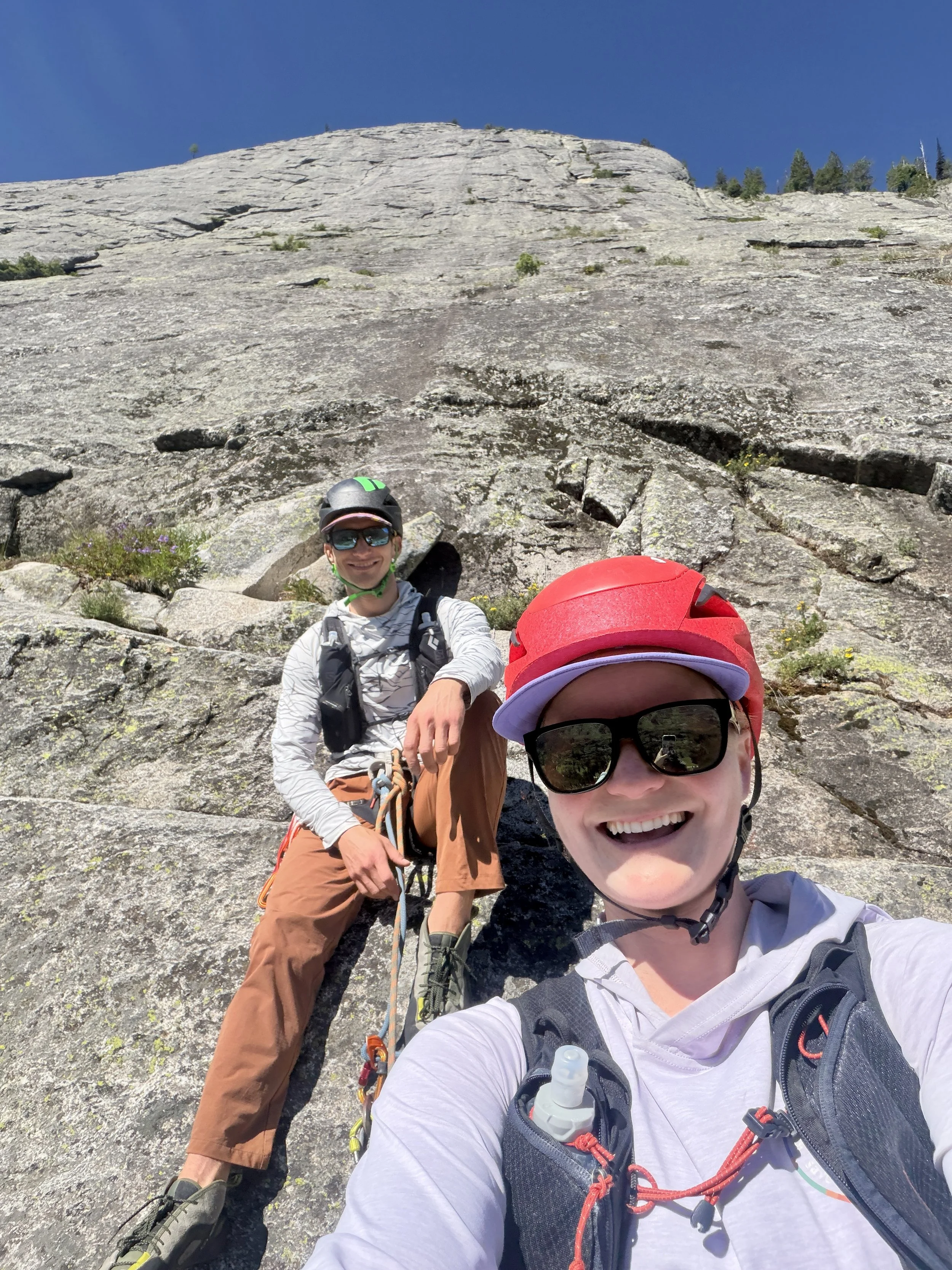
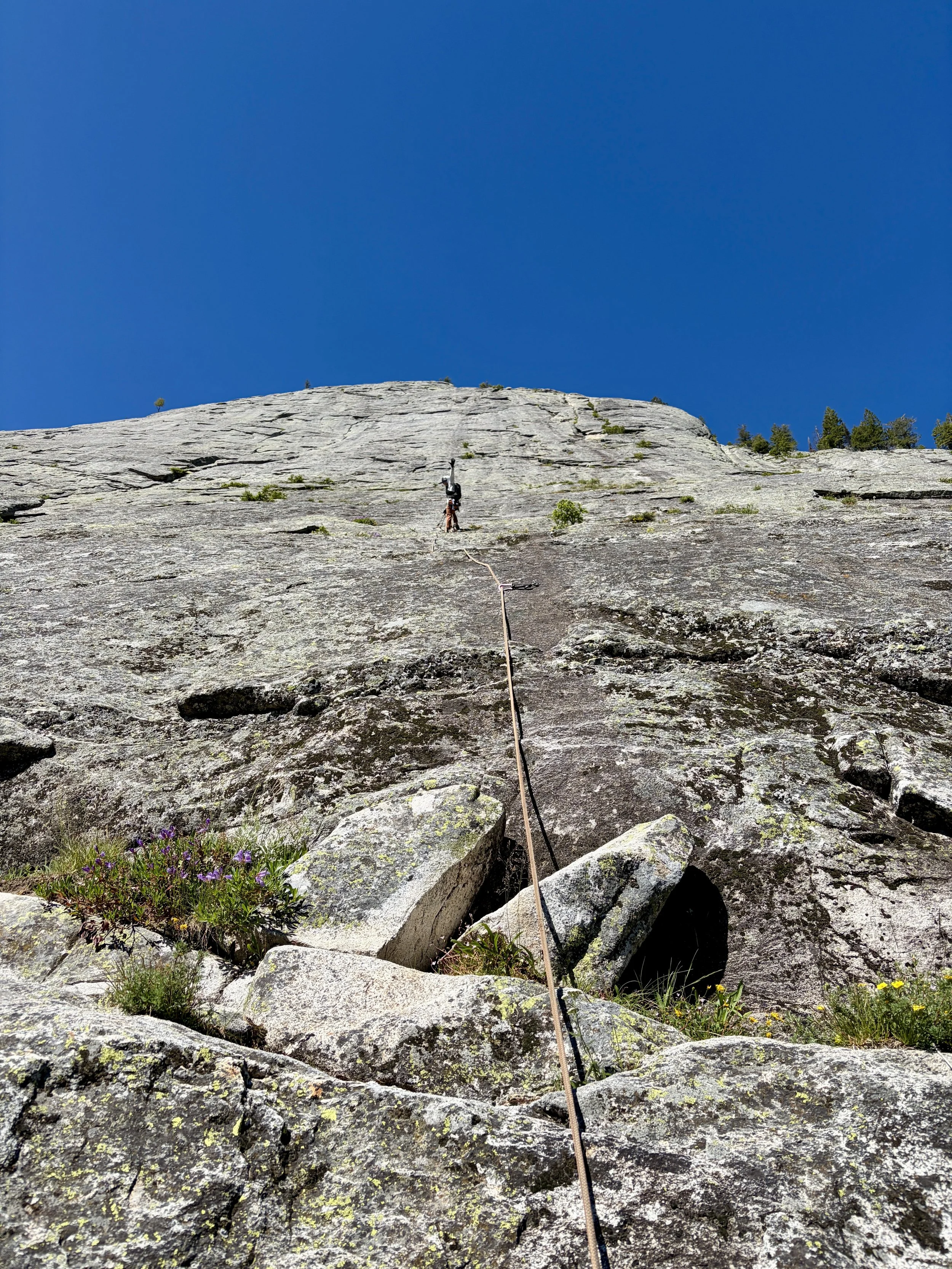
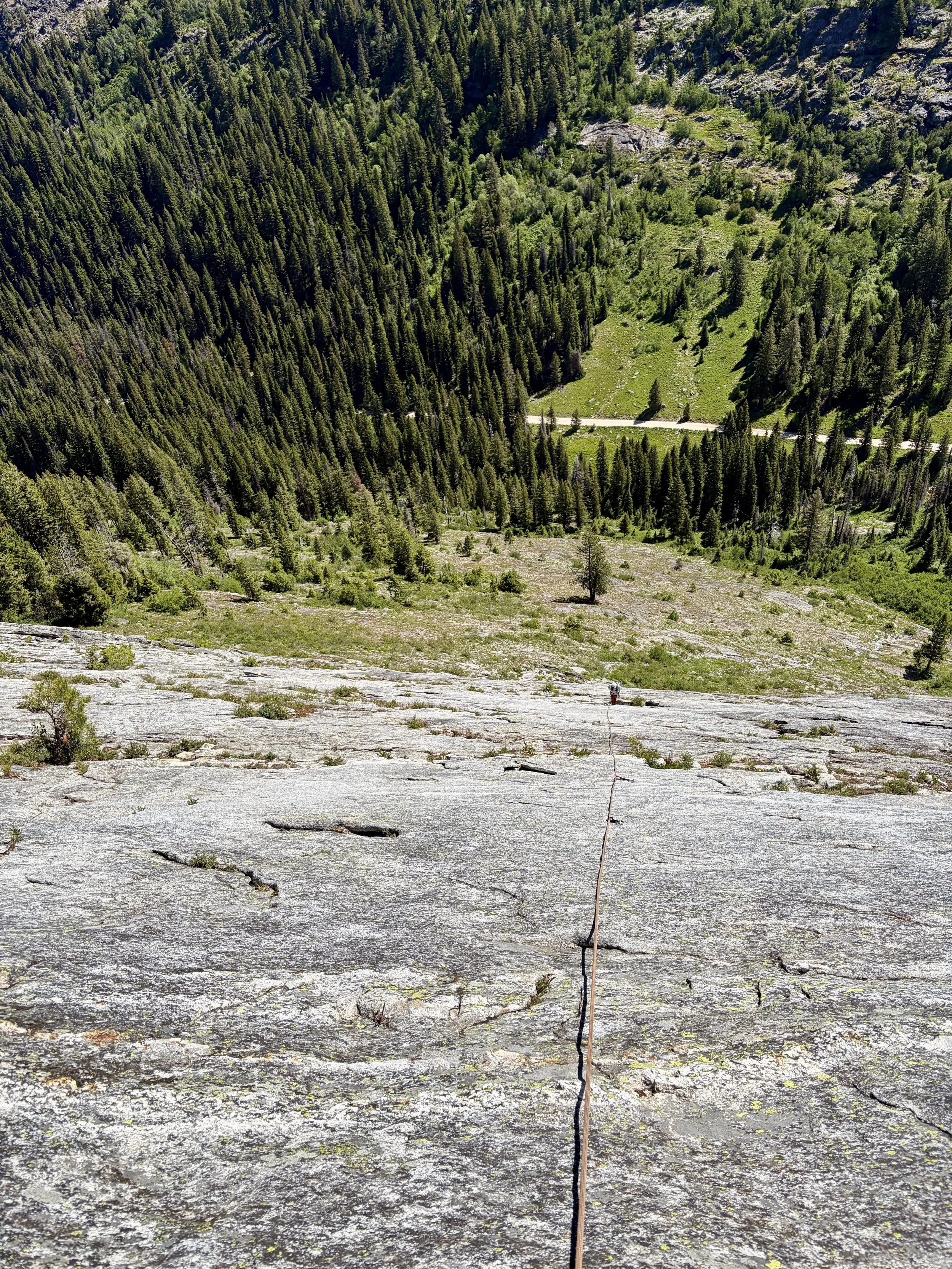
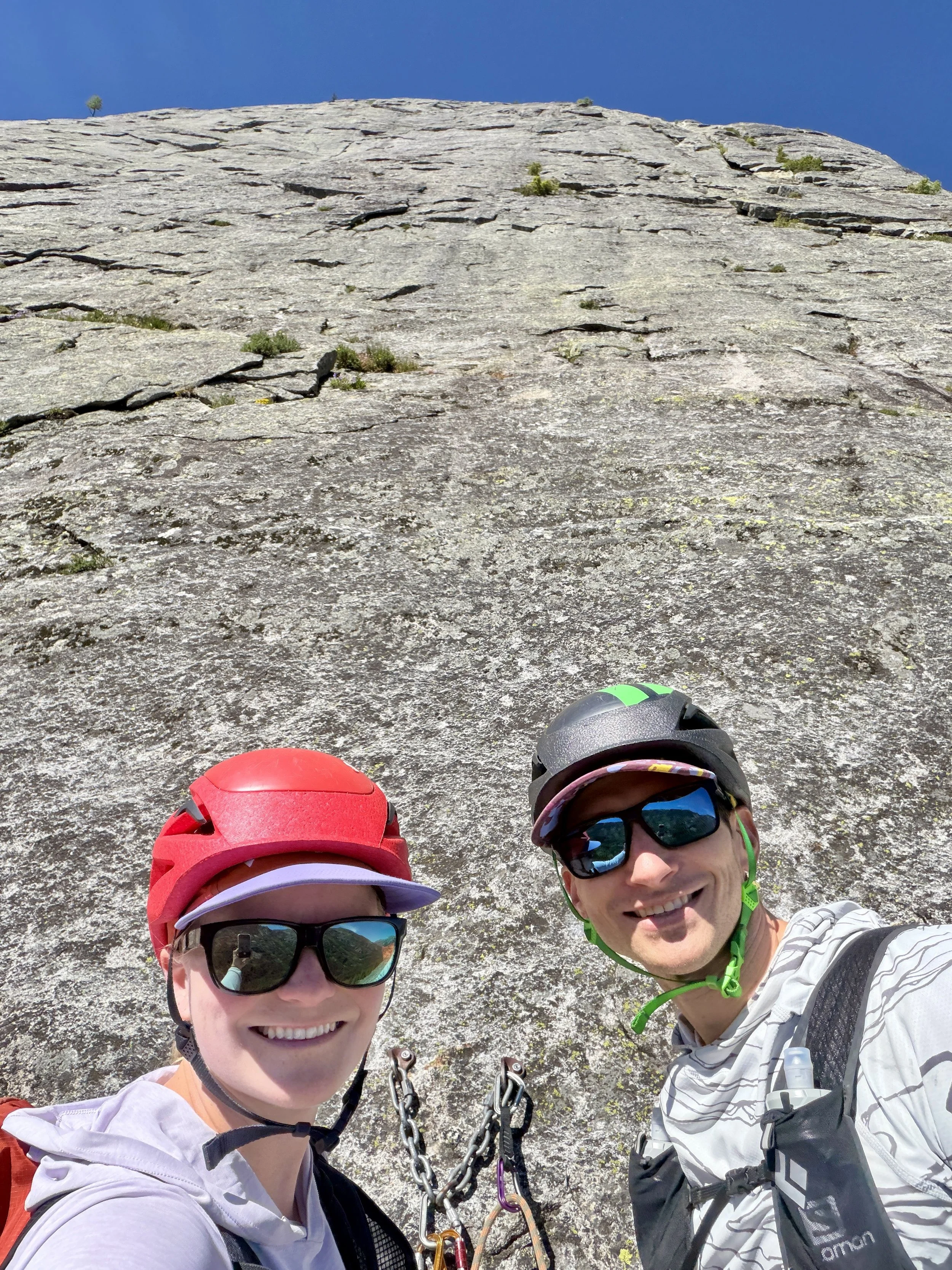
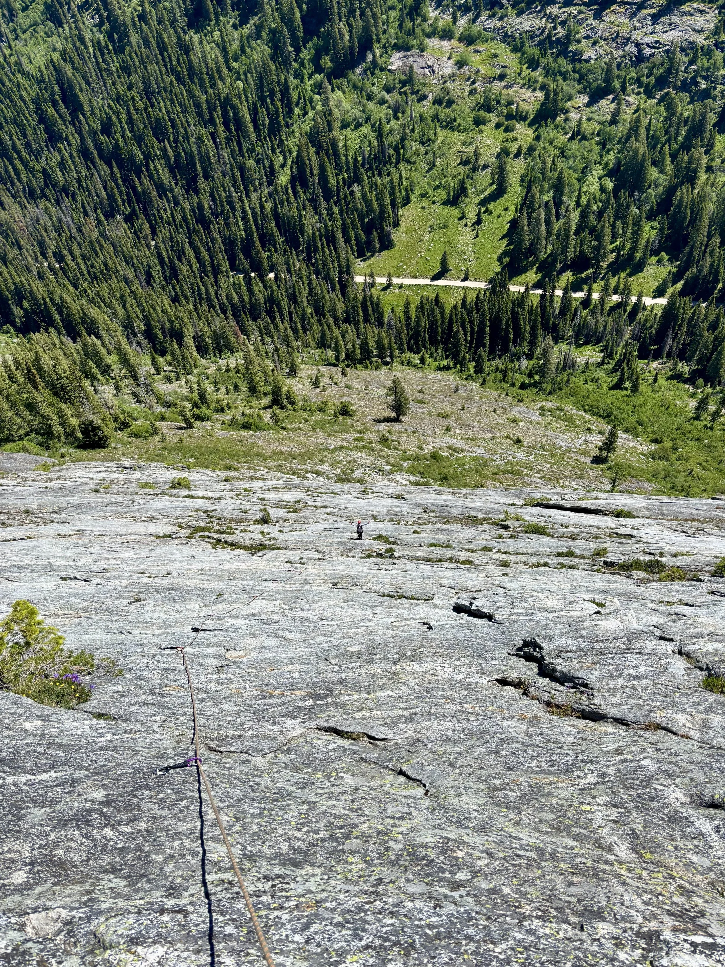
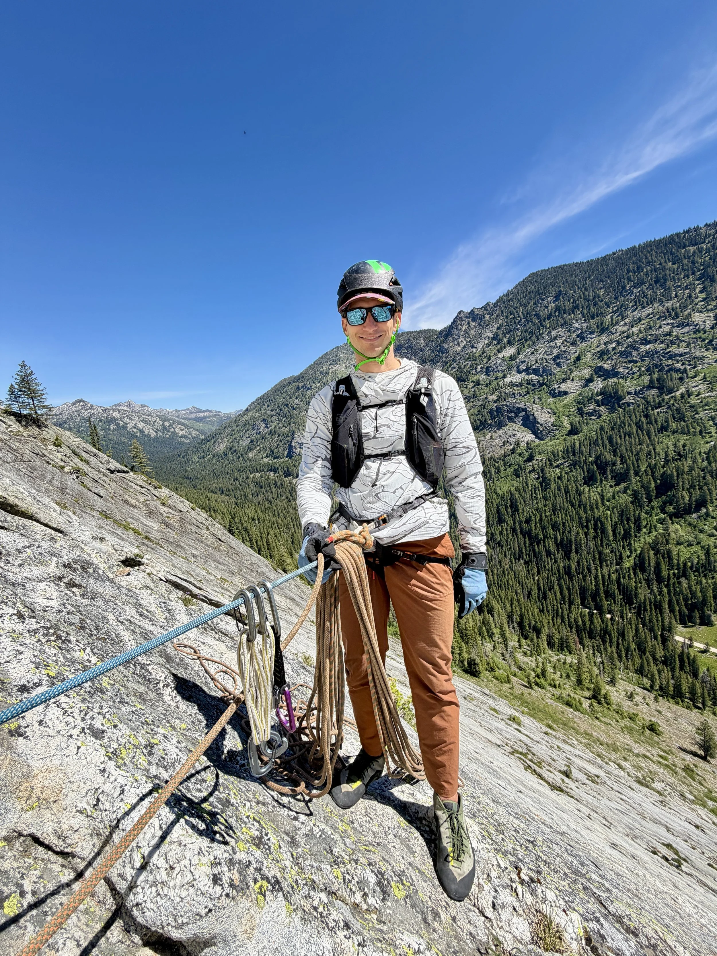
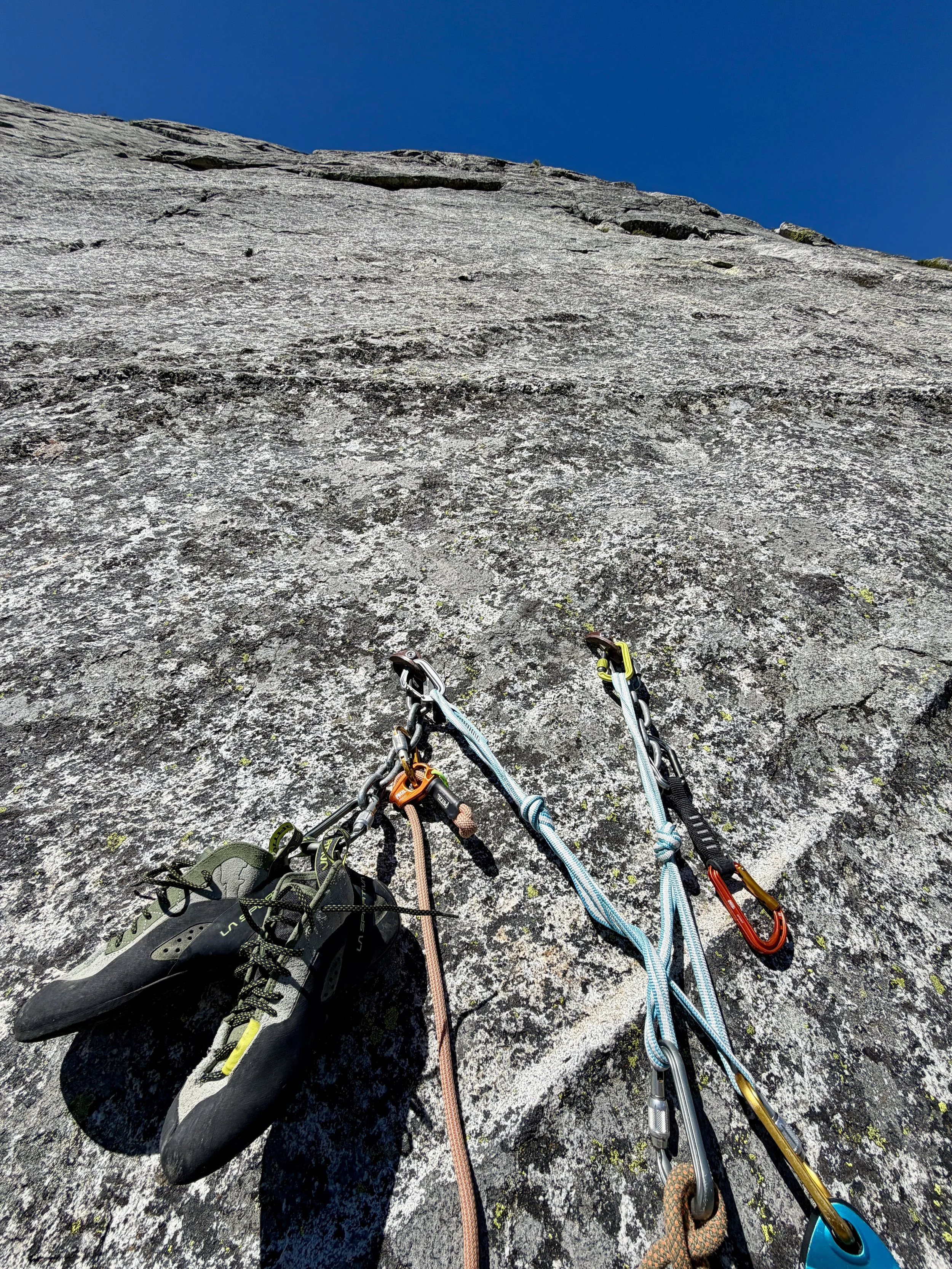
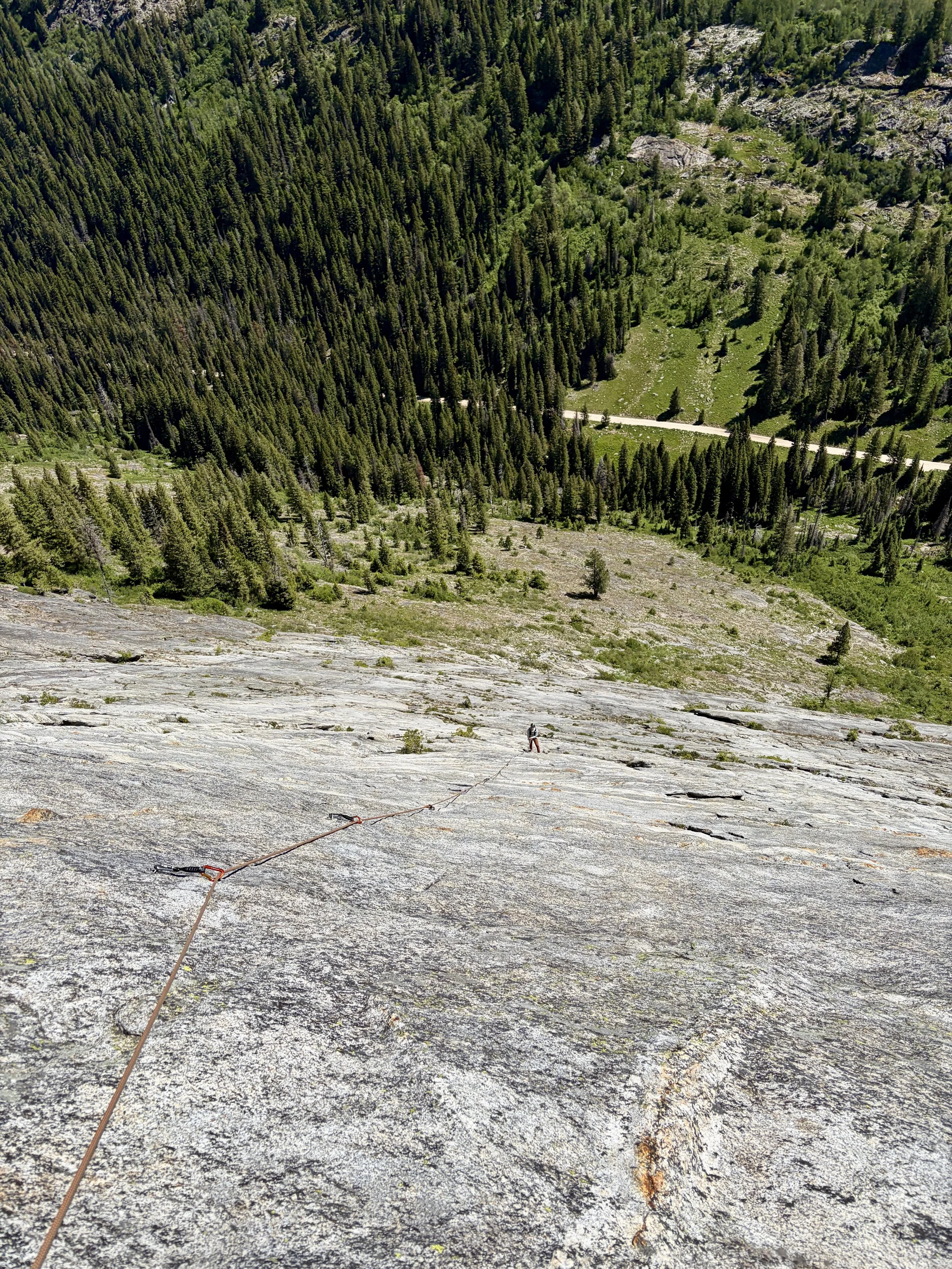
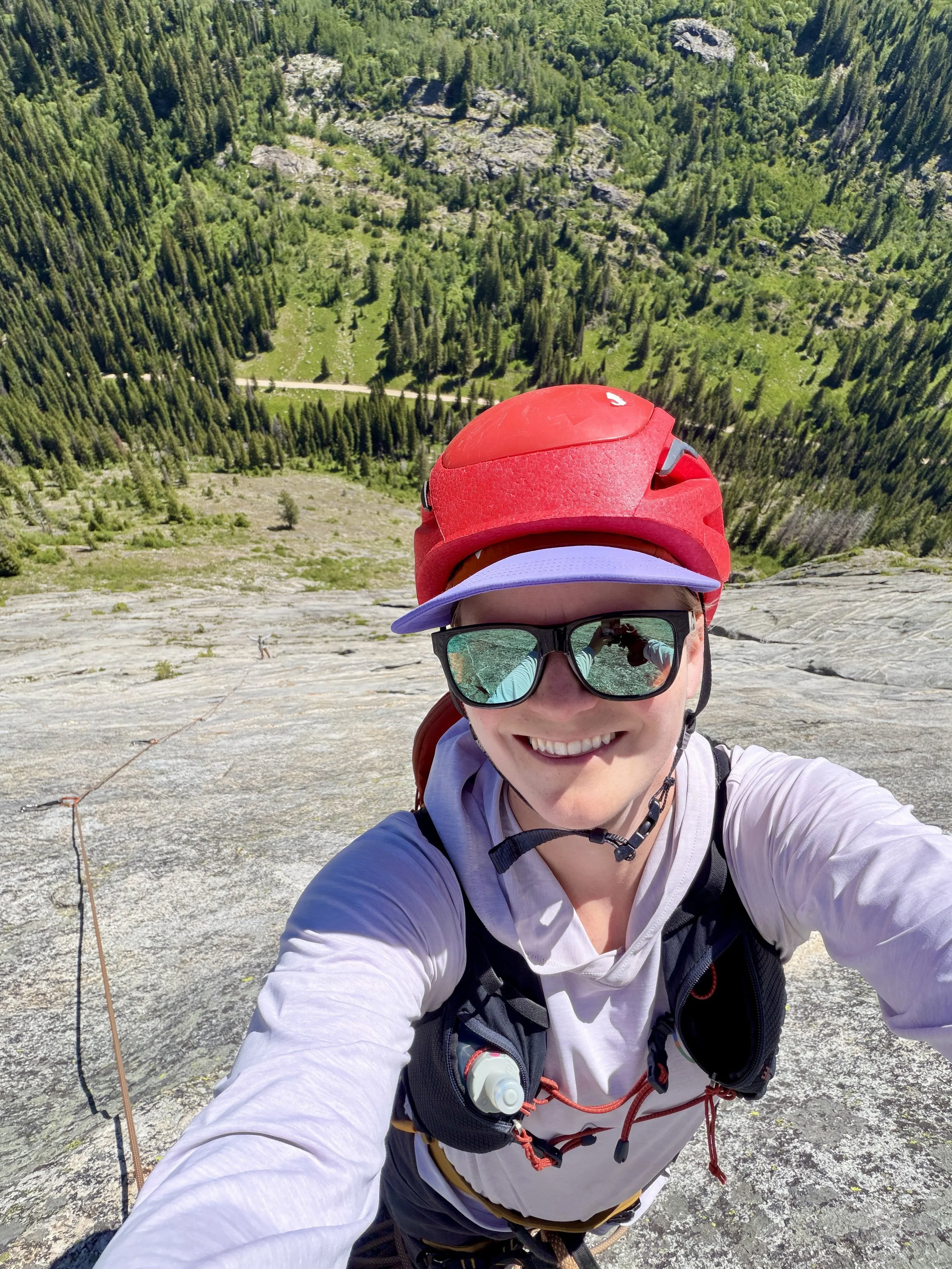
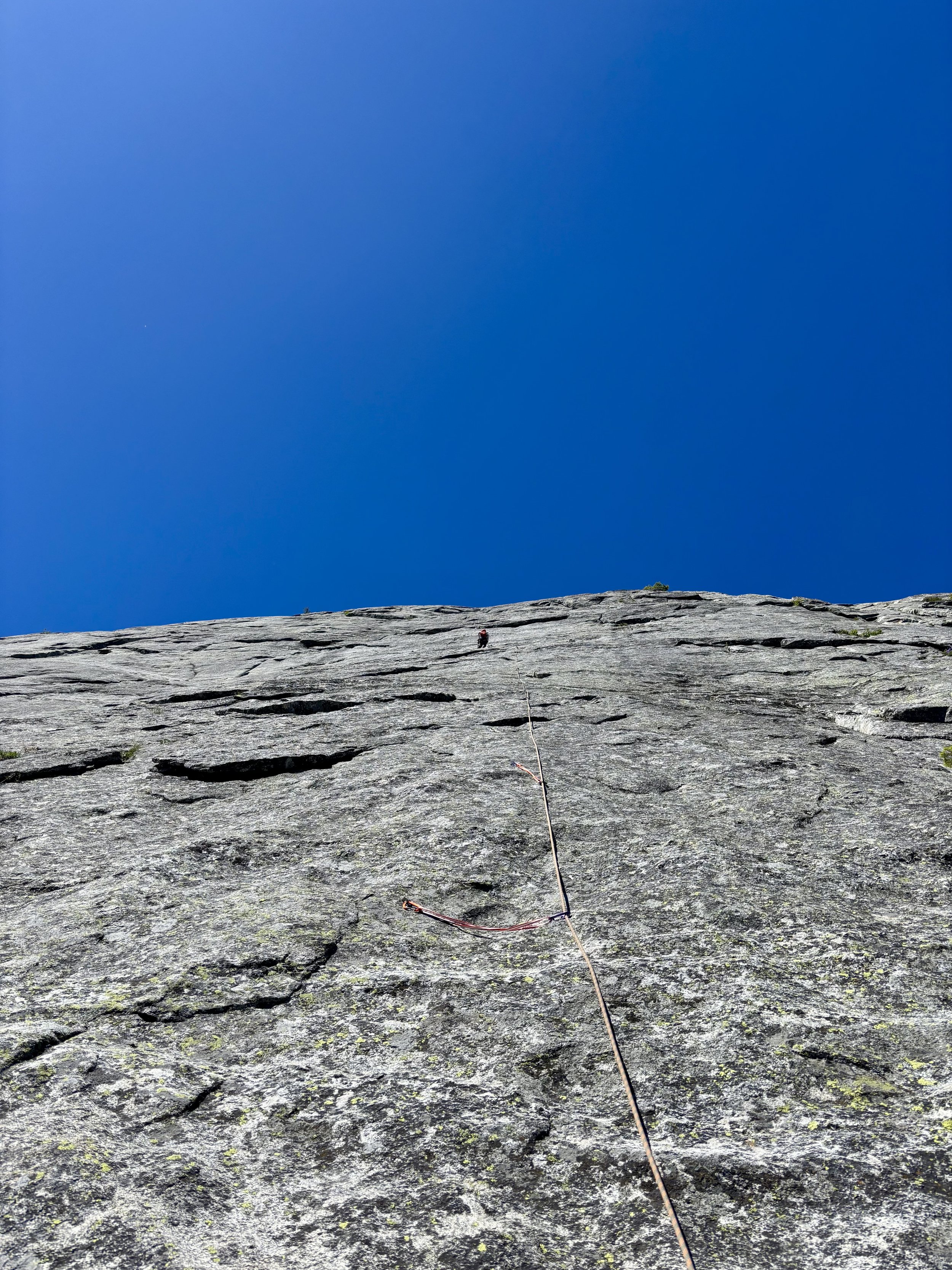
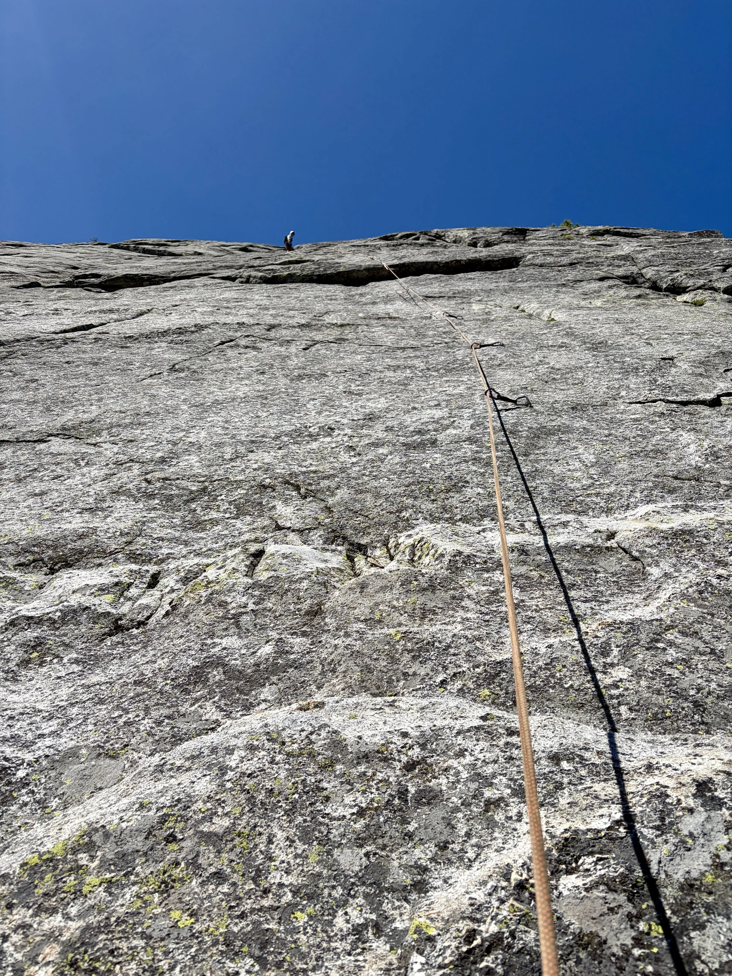
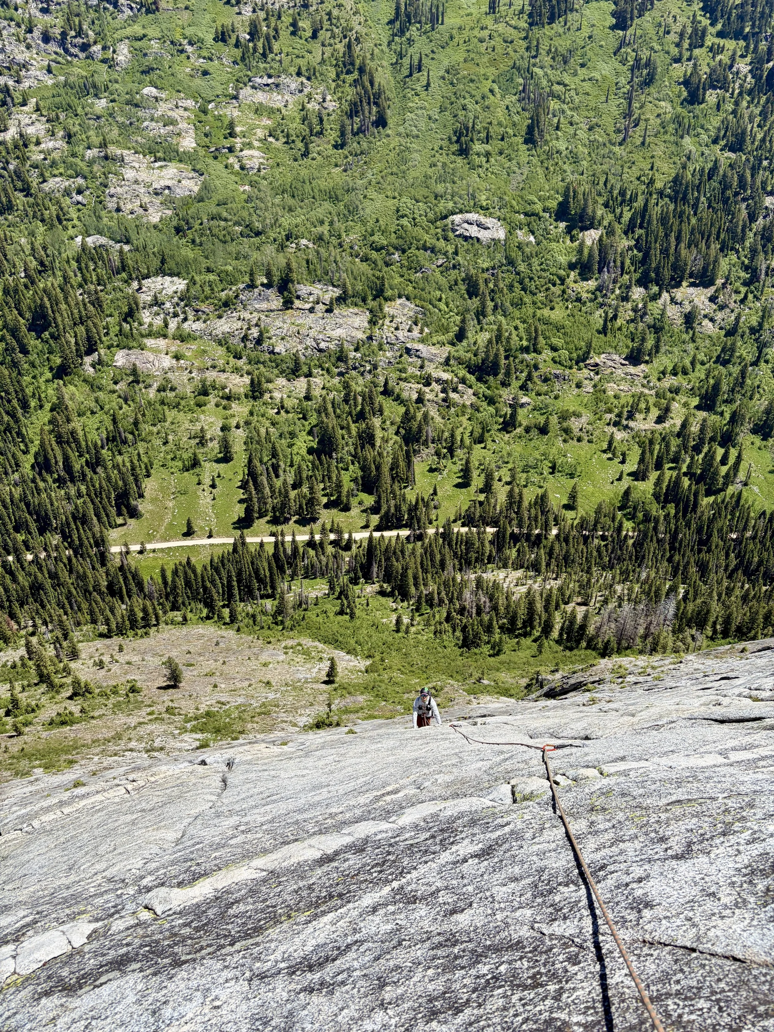
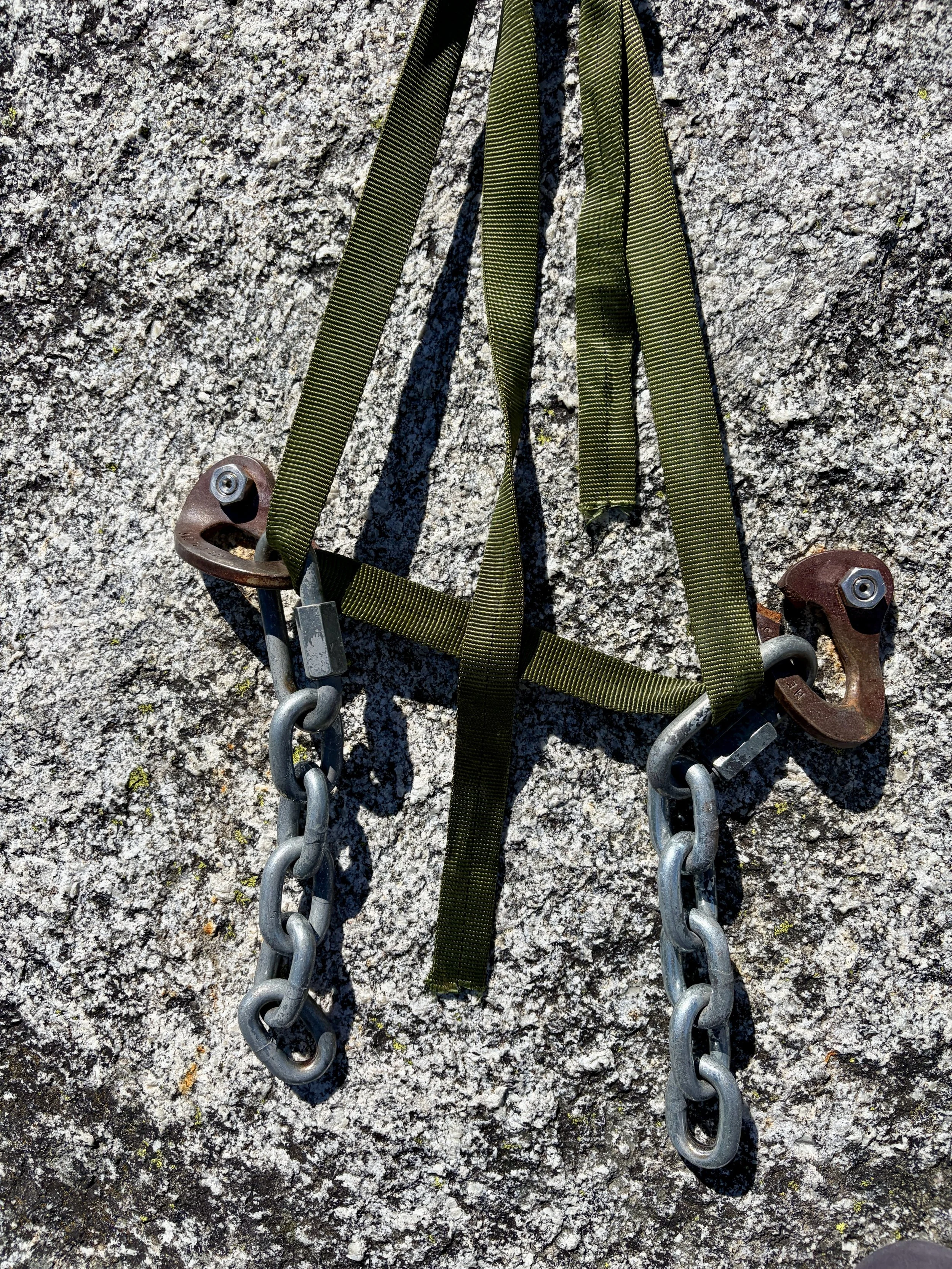
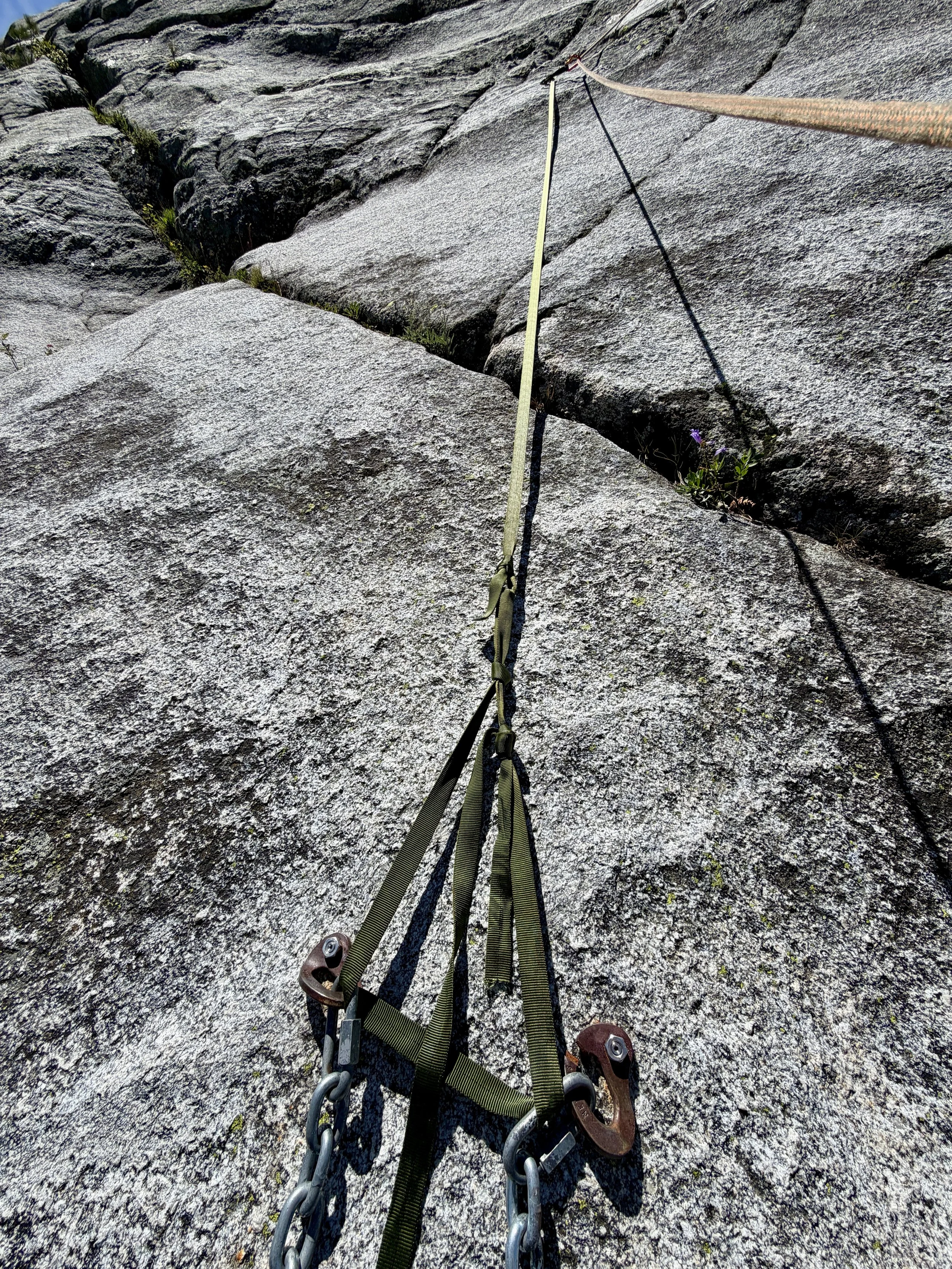
We put on our climbing gear, and I led the first pitch. Our plan would be to swap leads every pitch. I found the climbing to be quite enjoyable and thought Mountain Project rated the pitches fairly, if not a bit soft. Slab climbing was the theme of climbing that day. Rope drag was considerable on some pitches, so I would recommend bringing some alpine quickdraws. The anchors on pitch 7 were in quite bad condition with the left bolt spinning and the right bolt being so rusted, it had broken. Someone had rigged some webbing from bolt 1 of the next pitch that came down to the anchor to act as a backup.
Pitch ratings:
1: 5.7
2: 4th
3: 5.4
4: 5.7
5: 5.8
6: 5.8+
7: 5.8
8: 5.7 (5.9 if you follow the bolt line over the roof and do not go left)
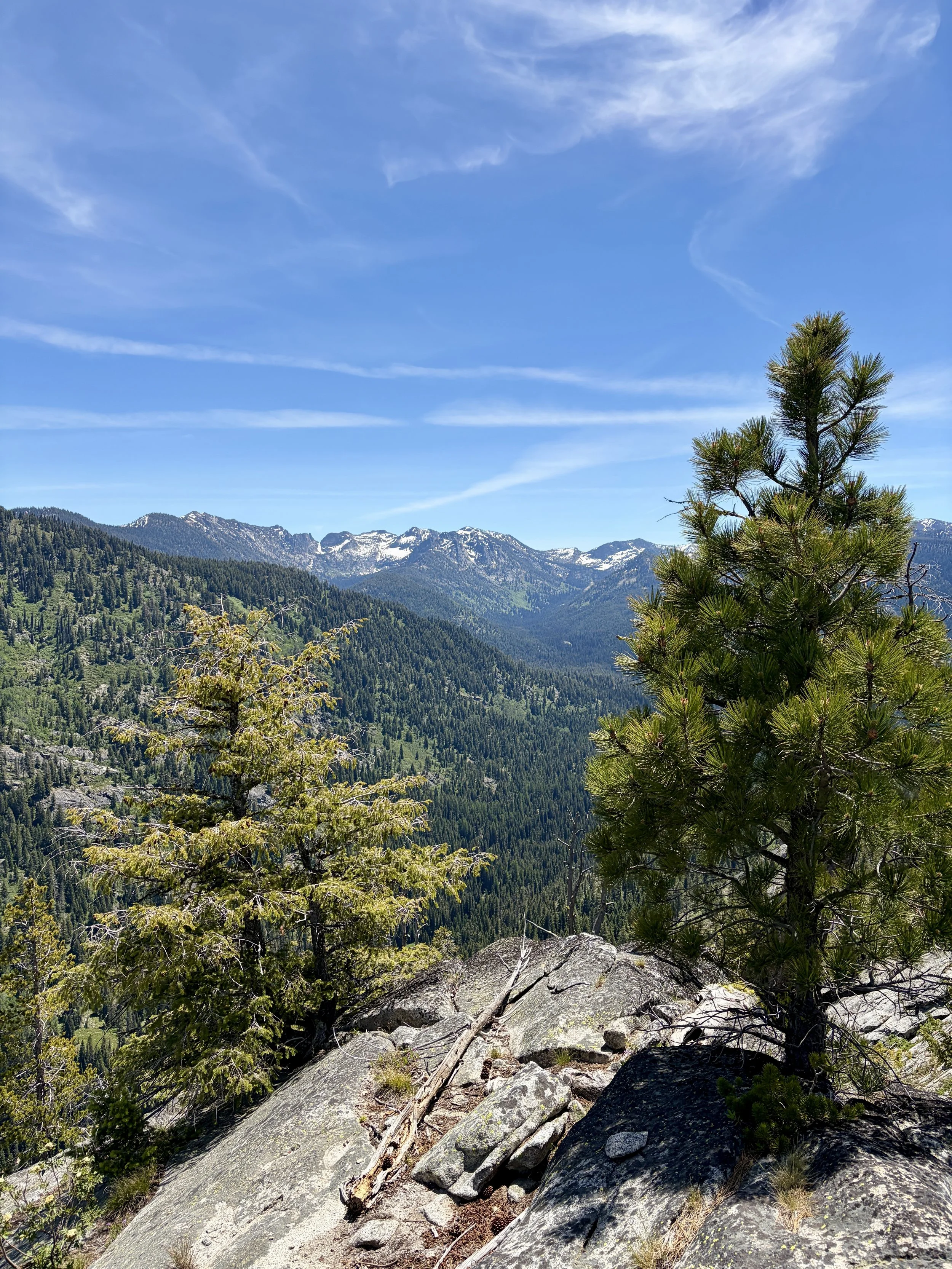
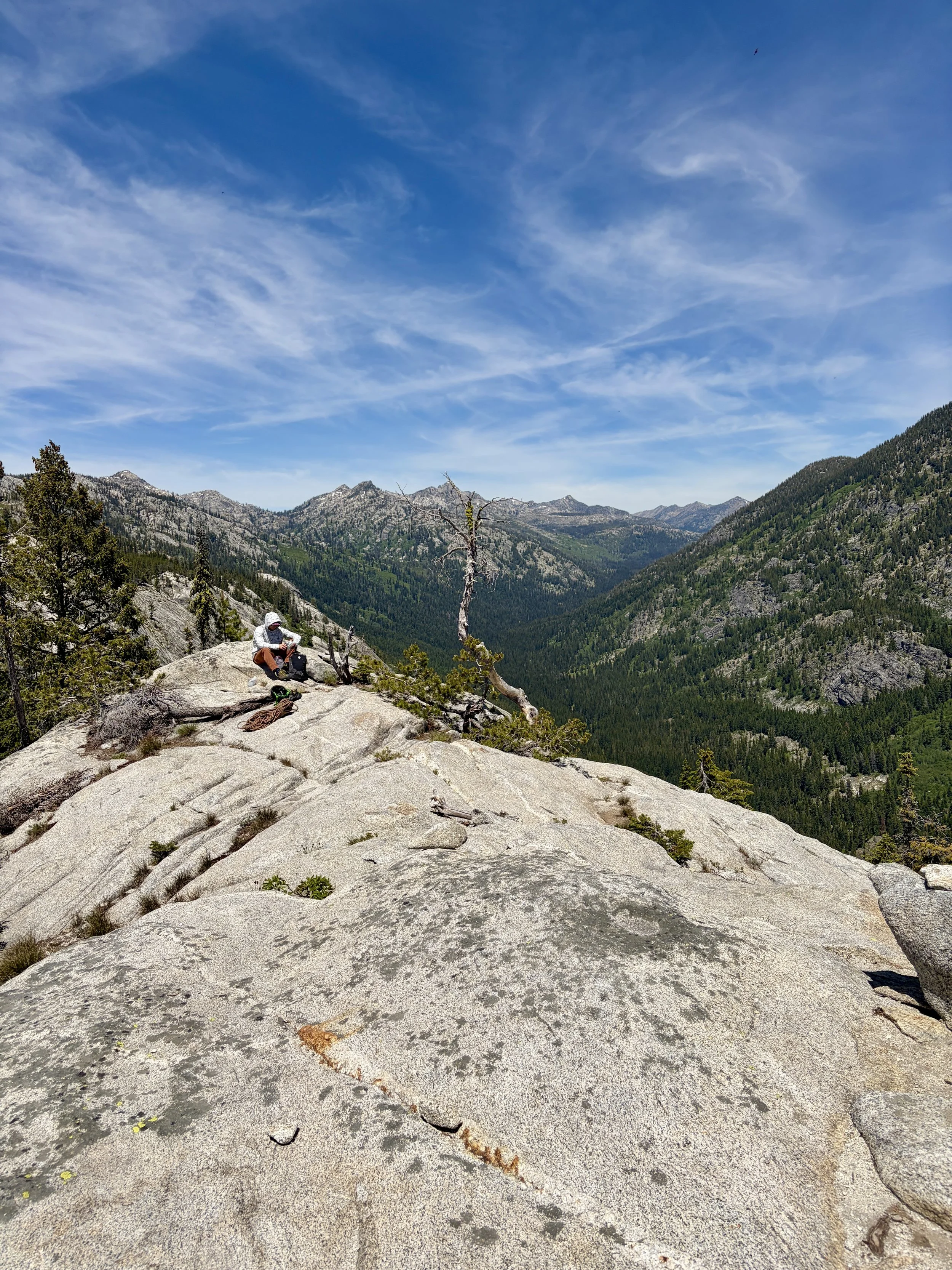
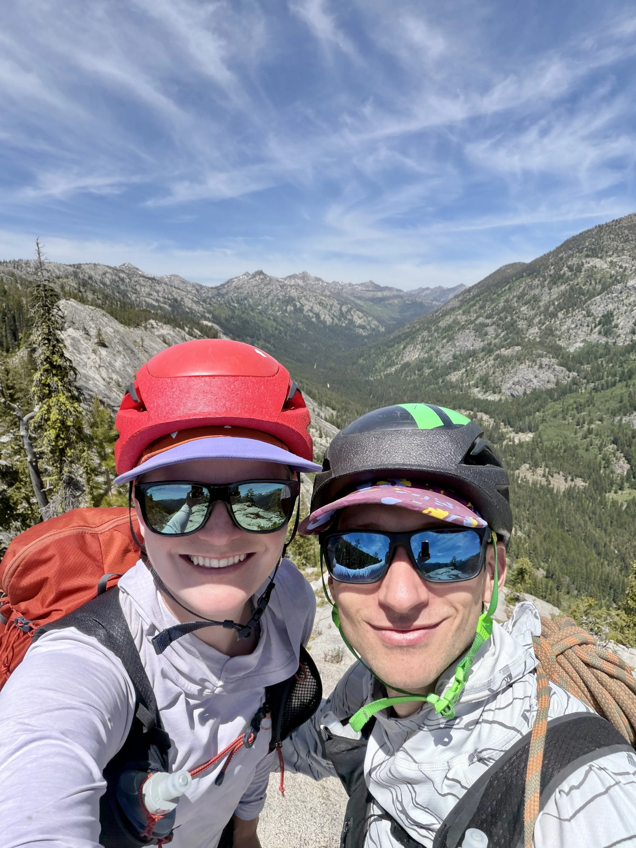
After a few hours of climbing, we found ourselves at the top of the route. We hung out for a while and ate lunch while enjoying the views. After an extended break, we began our descent. We decided to go with the walk off option instead of rappelling. The anchor on pitch 7 was not trustworthy for rappelling in our opinion and the walk off seemed safer.
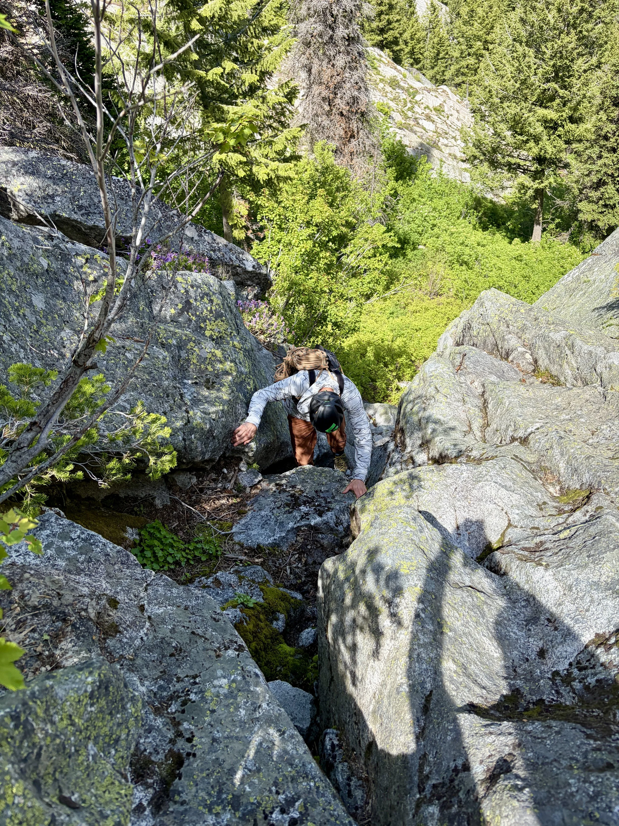
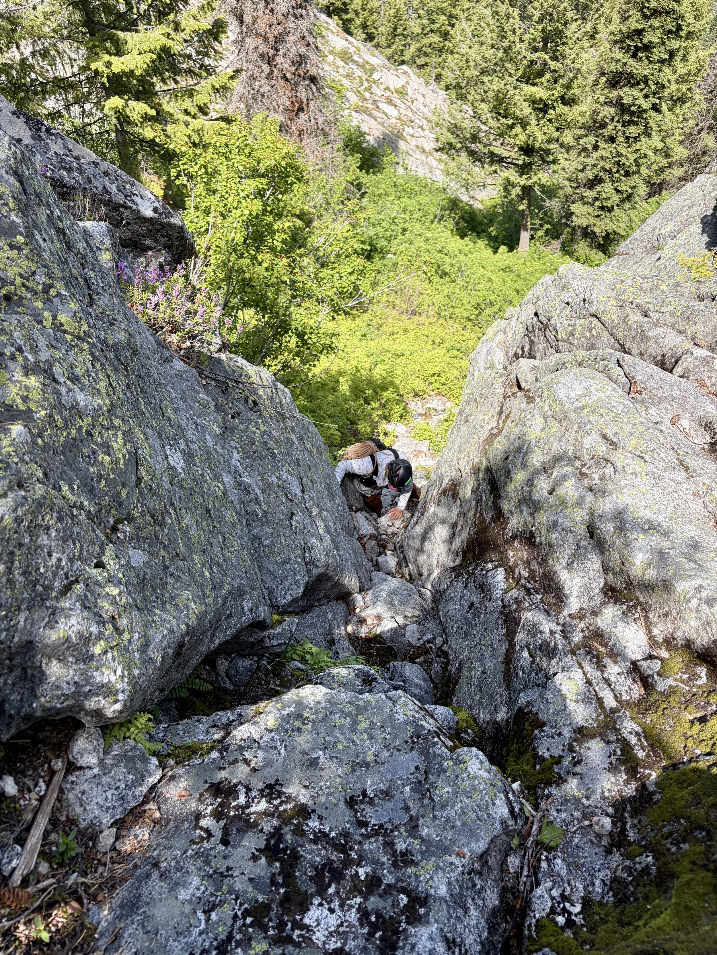
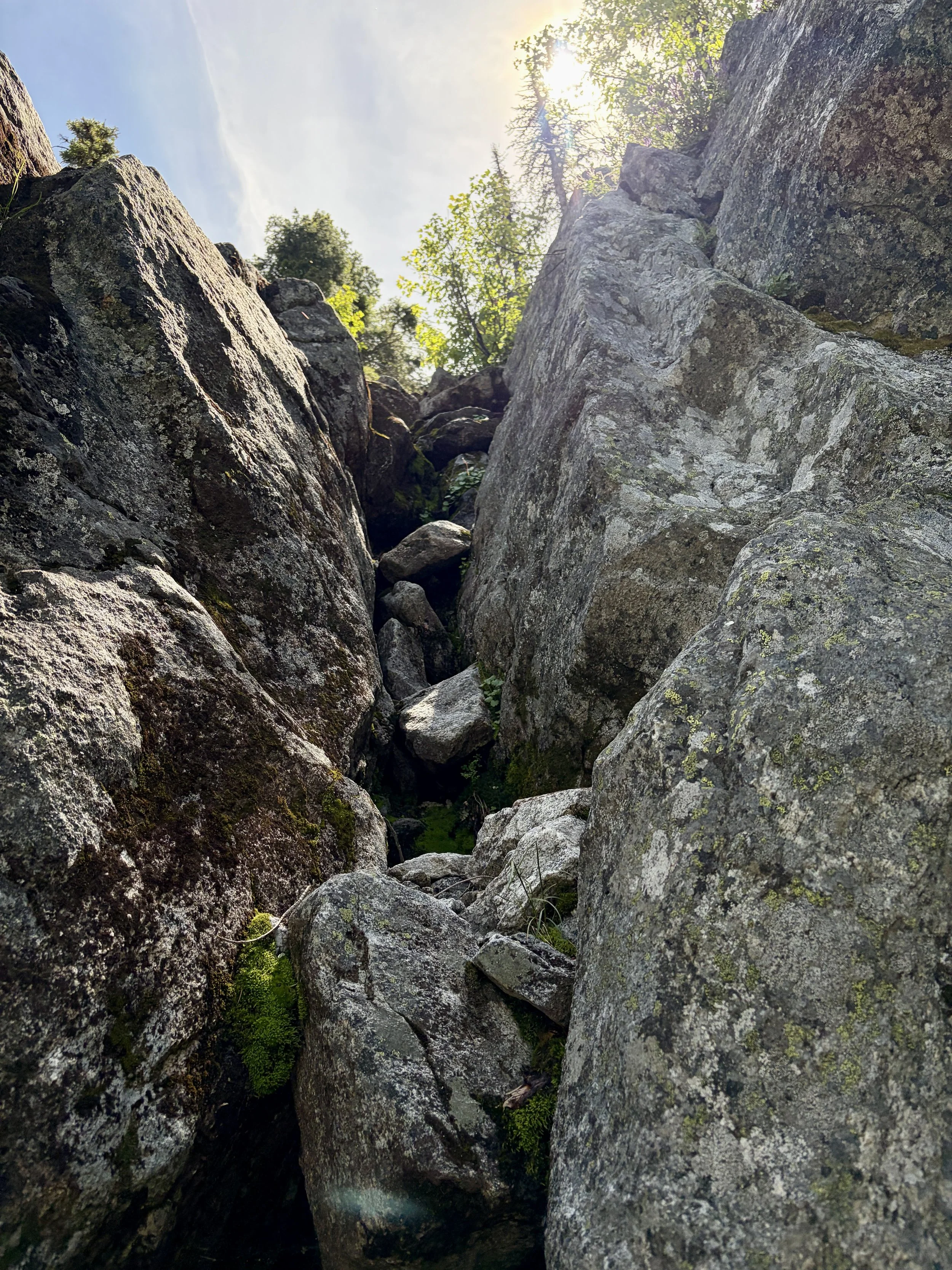
The beginning of the walk off was marked with a cairn on the north side of the summit. Cairns and a social trail were easy to follow. I had been a bit nervous about the class 4 chimney down climb that was required, but it wasn’t that bad and had good hand holds. It was also pretty short. After that down climb, the rest of the descent is on a loose social trail that eventually links back up with the bottom of the route. From there, we headed back down to the river and walked along it until we hit the log jam that would take us to our car. The entire outing, including an extended lunch, took us 5 hours car to car. It was a really fun day and an outing I’d highly recommend if you’re in the McCall area looking for a multi-pitch climb.
Total Stats: 1.4 miles, 1300 ft of elevation gain, 8 pitches, 0 rappels
Follow my journey on Instagram